







By clicking "ACCEPT", you agree to be the terms and conditions of each policy linked to above. You also agree to the storing of cookies on your device to facilitate the operation and functionality of our site, enhance and customize your user experience, and to analyze how our site is used.
Arizona Off-Road Trails
373
Total Trail Guides 359

4679
Detailed Waypoints 676
Try a Free 7-Day Trial and unlock it all
Start a Free Trial Most Recent Trail Reviews
No Rating
Open
Visited: 09/23/2026
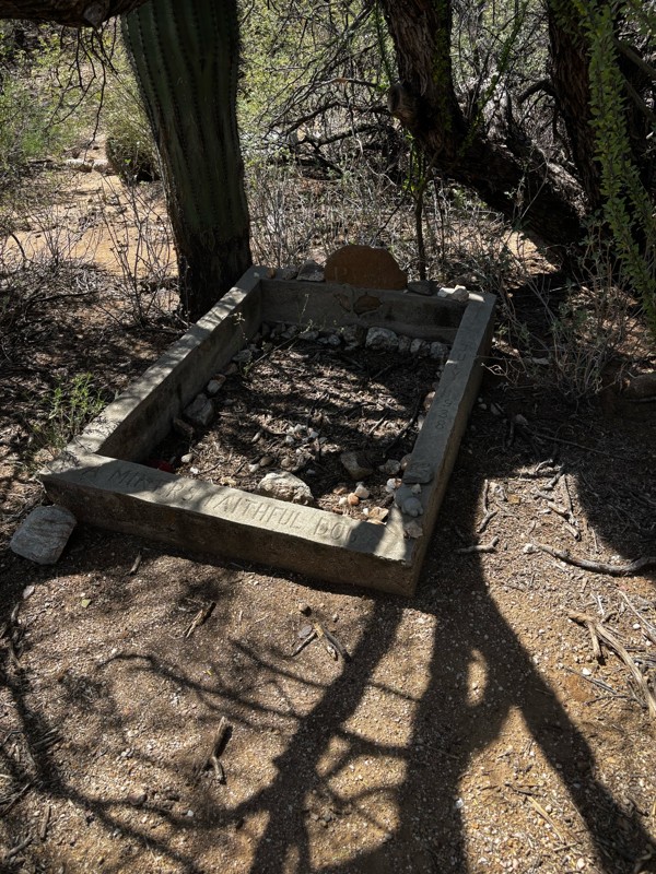
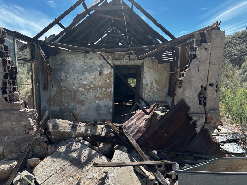
Gets a little technical at the end but the difficulty is spot on.

KR
Keith Ringiesen
No Rating
Open
Visited: 09/22/2026
The road was very smooth with the normal views running through the pines. Reminded us of many of the trails in the White Mountains.
T
Tom
No Rating
Open
Visited: 09/22/2026
Even with all of the recent rain, this trail was mostly dry ... a few ruts had water in them. Looks like there was a bad washout at the northern end of the trail on Apache Maid between waypoints 7 an...
T
Tom
No Rating
Open
Visited: 09/22/2026
Still an easy trail ... even after all of the rain.
T
Tom
Rated 4/5
Open
Visited: 09/22/2026
Hard pack, easy forest service road that is a great back way to the North Rim of the Grand Canyon.

Tyler D’Hulst
Rated 4/5
Open
Visited: 09/22/2026
Spring Canyon is a beautiful drive. We didn’t go out to the cabin but used this western section of road coming back from Crazy Jug

Tyler D’Hulst
Rated 4/5
Open
Visited: 09/22/2026
We took this out to Crazy Jug. The northern section is hard packed forest service road. Not difficult. Very scenic drive through the ponderosas.

Tyler D’Hulst
Rated 5/5
Open
Visited: 09/22/2026
View point is spectacular! Trail was easy going out, no obstacles at all. Saw a Toyota Camery at the viewpoint.


Tyler D’Hulst
Rated 3/5
Open
Visited: 09/22/2026
An alternative route out to Crazy Jug Point. It’s easy and can be scenic in areas. I’d recommend West Ryan out to Crazy Jug though.
Tyler D’Hulst
Rated 3/5
Open
Visited: 09/22/2026
A quick connector trail through the burn patch.
Tyler D’Hulst
Rated 4/5
Open
Visited: 09/20/2026
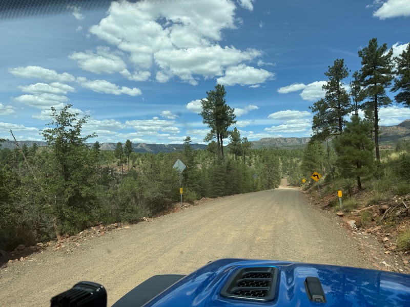
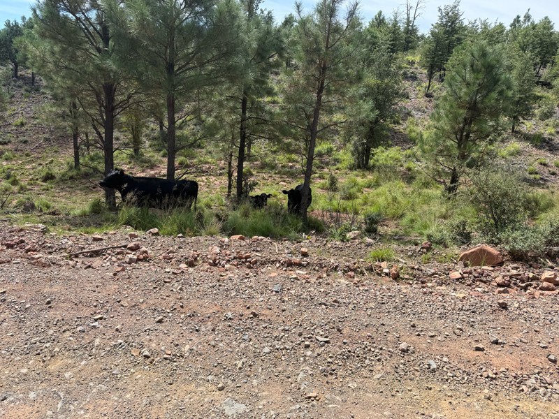
Trail was as described. Scenic but not particularly memorable. A few creek crossings would be fun if there had been recent rain. Easy drive in 2w the whole way. Be sure to pull off and check out wher...

Troy P
Rated 5/5
Open
Visited: 09/20/2026
Leviathan Mine trail is a full day trip. Though it is only 20 miles in length the travel is slow and rough. Majority of the trail you will be going between 5-10 MPH. Then once at the end it connects w...



Eric Gartin
Official Crew
Rated 5/5
Open
Visited: 09/19/2026
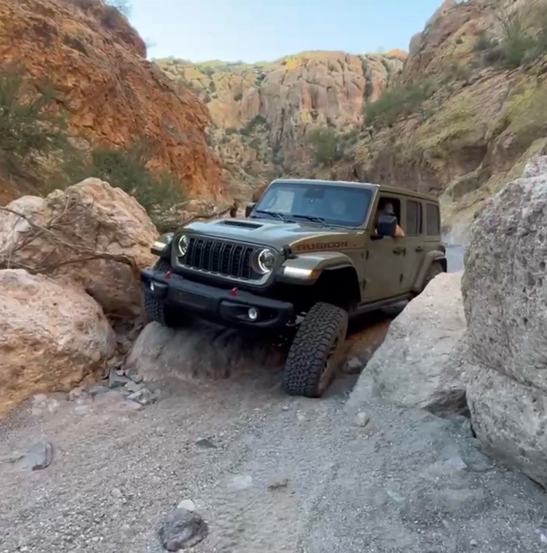
The harder obstacles aren’t that bad anymore. With the amount of sand and gravel that has washed into the canyon. The main constraint is the wedge between the 2 rocks; but I found it easy if you stick...
BC
Brian C
Rated 4/5
Open
Visited: 09/19/2026
Simple road, well graded today. Many mountain bikers coming down from the West out of Breezy Pines. Not too many people out until approaching Senator Hiway. We went East to West as I think thats a bet...



Jeff Burnett
Rated 3/5
Open
Visited: 09/19/2026
The trail itself is not spectacular, it's pretty flat across the plains. However, driving up to the overlook and seeing a huge gaping hole in the ground is a great juxtaposition to the flat trail. The...
Tyler D’Hulst
Rated 3/5
Open
Visited: 09/19/2026
A nice trail ride from the main road down off the plateau. It's graded forest service road until the switchbacks. The switchbacks themselves are not difficult, road is not graded. This section has bee...
Tyler D’Hulst
Rated 3/5
Open
Visited: 09/18/2026
The end of the trail is not well marked, and can cause confusion. Also, vehicle passes are required for all backcountry routes within the Lake Mead National Recreation Area.
Eric Gartin
Official Crew

Ted Whisler
No Rating
Open
Visited: 09/17/2026
Nice ride west side a little rocky but rating is true to #2


Ted Whisler
Rated 3/5
Open
Visited: 09/15/2026
A nice drop off the plateau heading towards Marble Canyon. Not a difficult road. Road is weathered but not challenging.
Tyler D’Hulst
No Rating
Temporary Closure
Visited: 09/15/2026
Road closed due to multiple washed out wash crossings after the turn off to go up the mountain. "Road Closed" sign put out by BLM on trail.
Tyler D’Hulst
No Rating
Temporary Closure
Visited: 09/15/2026
After the turn off to head up the mountain there are multiple washed out wash crossings. A "Road Closed" sign has been put out by the BLM.
Tyler D’Hulst

Ben Ruddell
Official Crew
Rated 4/5
Open
Visited: 09/14/2026
Bogles Ranch Road is a great Sunday afternoon drive type of dirt road that climbs up in elevation and gives some spectacular views of the surrounding area. The first half passes through State and Priv...


Eric Gartin
Official Crew
Ben Ruddell
Official Crew
Rated 3/5
Open
Visited: 09/14/2026
Antares Road is an excellent way to travel from Route 66 to the eastern portion of the Lake Mead National Recreation Area. This wide county road is well maintained with minor washboarding, most of whi...


Eric Gartin
Official Crew
Rated 3/5
Open
Visited: 09/14/2026
Hackberry road is a wide dirt road with minimal erosion damage and washboarding. There are a couple of larger washes that cross Hackberry road creating wide stretches of loose sand which can cause iss...


Eric Gartin
Official Crew
Rated 3/5
Open
Visited: 09/13/2026
This is a very rough, rocky, & slow going trail. Expect around 4+ hours for the trail & another hour to get the highway. One of those trails I'm happy I did but I wont be back personally. High clearan...

Brandon W
No Rating
Open
Visited: 09/12/2026
I think the rating is spot on. The ruts and washouts at the beginning are not as bad and if you hug the inside of the shelf road they can be avoided. The middle part is same general sandy wash with ov...



Greg Page
Rated 4/5
Open
Visited: 09/11/2026
Ran this trail as part of a larger loop. Trail is in great shape. Easy for standard 4x4 with no lift. Passengers can do it until maybe the very end by the lake where the road gets rocky and washed out...


Jeff Burnett
Rated 5/5
Open
Visited: 09/10/2026
This is one of my favorite scenic trails in the area. The trail is easy to travel, but does have some optional short trails that will test your vehicle. The views from the Grand Wash Cliffs of the Hua...


Eric Gartin
Official Crew
Rated 3/5
Open
Visited: 09/07/2026
This trail by itself is nothing special. It is mostly used as an access road to get to the more technical trail such as Homecourt, Twister, and Waynes World. This is a great trail for the beginner to ...


Eric Gartin
Official Crew
Rated 3/5
Open
Visited: 09/07/2026
This trail is an enjoyable alternate route when traveling on Blake Ranch Road (7163). The trail is easy with only a handful of spots with erosion damage. The few established camping sites appear to n...


Eric Gartin
Official Crew
Rated 5/5
Open
Visited: 09/07/2026
Ran this trail from Boynton Pass Road to Loy Butte Road (opposite direction from what is listed). Ran into a few rental ATVs and a couple of Jeeps heading the opposite way. This was a fun trail wit...



Daniel Macioce
Rated 5/5
Open
Visited: 09/07/2026
This trail was a lot of fun, plus the views were amazing. I ran the trail in the order posted, starting at the south trailhead and finishing at the heritage site. Past a motorcycle, a few jeeps and a...


Daniel Macioce
Rated 4/5
Open
Visited: 09/07/2026
Nice trail, ran West to East. For some reason the map shows this a a one-way trial, East to West. That is not the case, it is a two way trail. Was pretty washed out starting around mile 12. Plenty roc...


Jeff Burnett
No Rating
Open
Visited: 09/06/2026
New trail for me. You didn’t know what it would throw at you around every corner which is why you try to find new trails or old forgotten ones
KB
Kory Burden
Rated 5/5
Open
Visited: 09/06/2026
The trail is no joke—steep, narrow, and technical enough that you’ll want to be comfortable with off-camber shelf roads, rocky terrain, and washouts that will test your vehicles articulation. The rew...



Bobby Rumbaugh
Official Crew
Rated 5/5
Open
Visited: 09/06/2026
Fun trail if you don't want to do pyeatt draw itself. Ran this trail 3yrs ago and definitely a little more erosion but, still any truck or suv with good factory ground clearance can do it. From previo...
JM
James m
Rated 4/5
Open
Visited: 09/06/2026
Ran this trail from I-17 to Sedona. Extraordinary views descending into Sedona. As others have noted, there are lots of rock on the trail, making it slow going. Passed a large number of Pink Jeeps ...


Daniel Macioce
Rated 4/5
Open
Visited: 09/05/2026
This one definitely changed over the last few years. The southern section has some legit, steep, off-camber sections. YOU NEED experience, backup, and a capable vehicle on this one now. It's not supe...


.jpg)
Bobby Nelson
Official Crew
Rated 4/5
Open
Visited: 09/05/2026
Another amazing time on this scenic crossover. We came in from Walnut Canyon and finished out on Price Road after about 6 hours. A challenging and hot day for the old TJ. Rincon Road has evolved into ...


Bobby Nelson
Official Crew
Rated 4/5
Open
Visited: 09/05/2026
We started exactly at sunrise to try and beat the heat. We planned to crossover to Box Canyon and out on Price Road. It ended up taking us 6 hours, even with all the photos and filming we did. A chall...


Bobby Nelson
Official Crew
Rated 5/5
Open
Visited: 09/04/2026
We recently ran Four Peaks after the monsoon rains. Here’s what we found and what to expect if you’re planning to run it. Have a GR8 day!

Jeep 4 Dirt
Rated 5/5
Open
Visited: 09/04/2026
Breathtaking views. Definitely don't rush through the trail. Devil's staircase was a bit slippery but awesome. A few tight stops here and there, but a trail that's a must on anyone's to do list.



Christopher Bradley
Rated 4/5
Open
Visited: 08/30/2026
Id say this is a 3.5 to 4 trail. There are some obstacles, but nothing you really need to think hard about how to approach. If you send your vehicle at it in 4 low you'll get through everything.



Justin Holsinger
Rated 4/5
Open
Visited: 08/28/2026
Rim Road (FS300) West to East. Very well groomed gravel forest road. Accessible by just about any vehicle thats not been lowered. Who does that anyway? Scenic views the whole route. Hard to believe on...


Jeff Burnett
Rated 4/5
Open
Visited: 08/28/2026
Not a bad road but it was crowded with sxs and vehicles towing campers. Hard to rate 5 stars for a busy road. Super easy any vehicle can do this. Part is paved near the freeway but the rest is gravel.

Tony Rockwell
Rated 4/5
Open
Visited: 08/28/2026
I rated 4 stars just due to the volume of sxs & camper trailers on the road.
Easy drive, any car can do this.
Ran from sheep springs to munds park, see other reviews for full route.

Tony Rockwell
Most Popular

Updated: 10/15/2024
4446D
Desert Hills, Arizona
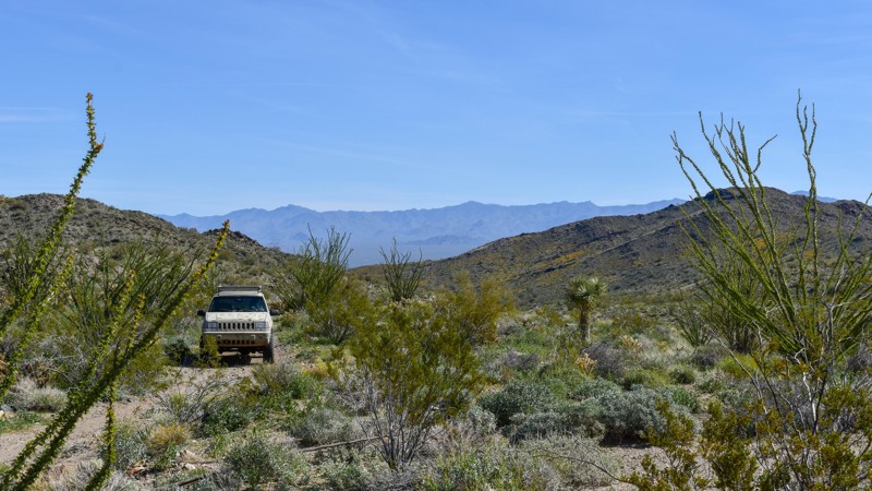
4446D provides a great way to bypass a rocky section of BLM 4446, Franconia Wash, cutting through the slopes just above the wash. The vegetation along the trail is quite different from that in the wash, providing a welcome change in scenery. Along the way, you'll also encounter many claim markers and prospects on the hillsides above.
Updated: 10/15/2024
4349B
Franconia, Arizona
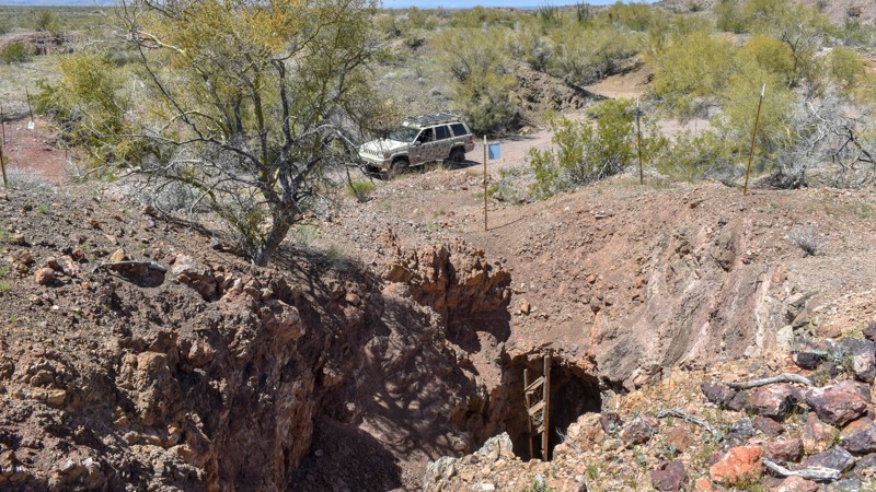
Uncover this hidden gem, where a unique red-colored mine and its surrounding prospects lie hidden beneath the unforgiving sunburnt desert surface. This mine is the only one in the immediate area with such a distinctive hue, making it a must-see for any adventurer or history buff. Visit in the morning when the sun is low, illuminating the failing wood platforms that once supported the miners, offering a peek into the mine's other dark cavities and a glimpse into the area's mining history. Don't forget your camera or binoculars to capture the beauty of this hidden treasure.
Updated: 10/15/2024
Herman Tank Road
Sasabe, Arizona
Buenos Aires National Wildlife Refuge in southern Arizona was established in 1985 for the reintroduction of masked bobwhite quail and the restoration of natural landscapes and their native wildlife, including the Sonoran Pronghorn. The 118,000-acre refuge lies in a broad Altar Valley between the Baboquivari Mountains, with their prominent main peak in the west, and the lower San Luis Mountains to the east. In the 1850s, Pedro Aguirre, Jr. built a homestead here in 1864 and named it Buenos Ayres, or "good air," because of the constant winds. His ranch changed hands several times before being purchased to form today's wildlife refuge. The refuge's visitor center is located in the adobe ranch house.
The refuge has over 80 designated campsites identified by a numbered sign. Camping is free and allowed for 14 days in a 30-day period, but only in the designated campsites. Most campsites have a fire ring/grill. Site sizes vary from a single vehicle to large enough for multiple RVs and trailers. Most are suitable for tents.
Fuel and limited supplies are available in the nearby small towns of Sasabe and Arivaca.
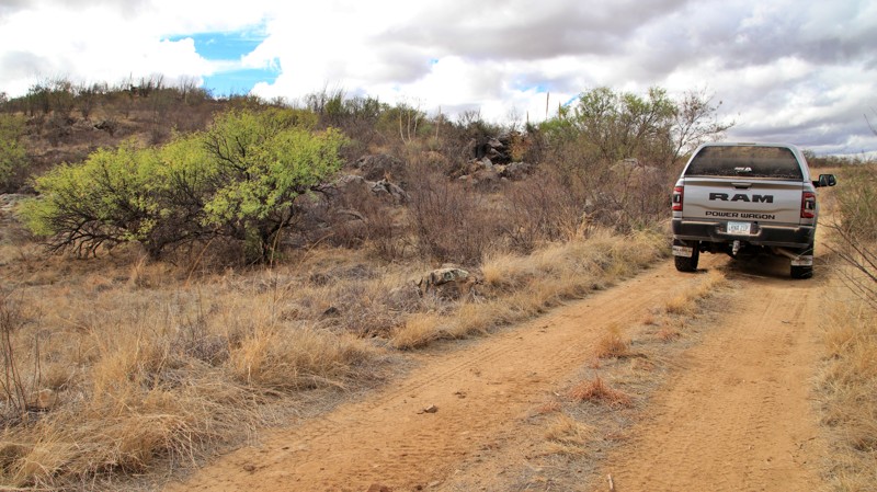
Herman Tank crosses a wash and climbs a rocky hill onto a ridgeline. The trail is narrow and requires clearance. The trail ends at Yellow Jacket Road and Campsite 83, a small one vehicle site with a fire ring, views, and no shade.
Updated: 05/01/2026
Upper Burnt Corral
Roosevelt, Arizona
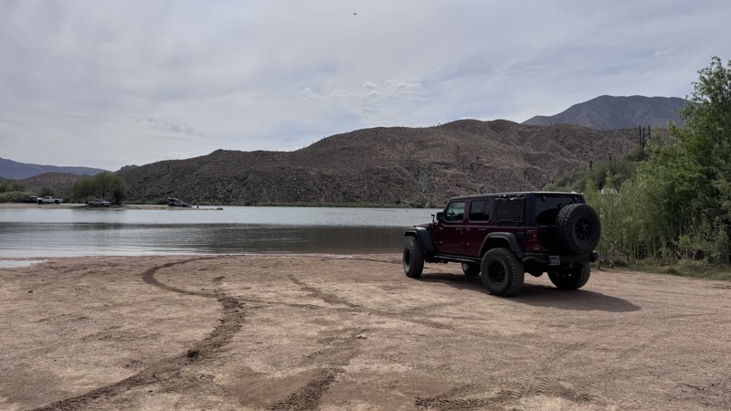
If you’re looking to skip the developed campground but still camp right along the lake, this spot is a great option. A short drive down a hard-packed dirt road—accessible for most vehicles—leads to several lakeside camping areas. You’ll find a handful of flat dirt sites, some sitting right on the water’s edge.
A Tonto Recreation Pass is required for any parked vehicle or overnight stay. Keep in mind, this area fills up quickly, especially on weekends. Vault toilets and dumpsters are available, but there is no fresh water on-site.
Updated: 08/17/2026
Mount Ord
Tonto Basin, Arizona
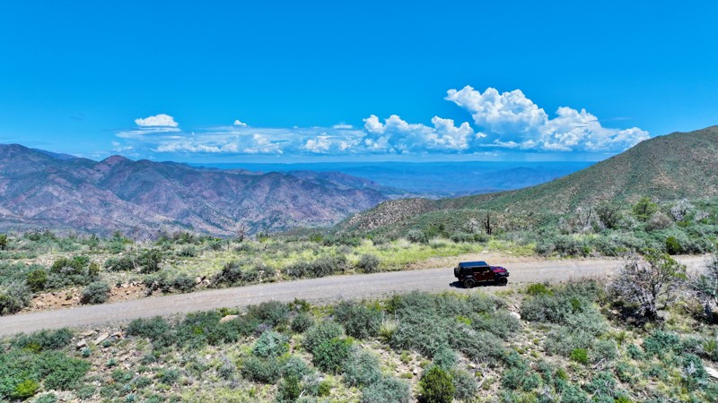
This graded, hard-packed dirt road climbs the slopes of one of the tallest mountains in the surrounding area. Along the way, sections of shelf road provide fantastic views across the valley below and toward the Mogollon Rim to the north. Winter conditions can occasionally bring snow to the upper elevations.
The drivable portion of the trail ends at a locked Forest Service gate approximately 0.6 miles below the summit. There is plenty of room to park near the gate, along with several campsites overlooking the surrounding landscape. Each campsite has a hard-packed dirt surface, space for approximately two vehicles, and an established rock fire ring. The views from this area are among the best found anywhere along the trail.
Communication equipment and a historic fire lookout occupy the summit area. The lookout stands at an elevation of 7,128 feet. The original 60-foot tower was constructed in 1936 and replaced in 1983 by the current 102-foot steel structure. Today, the site uses 360-degree, high-definition panoramic cameras to watch for changes along the skyline and detect potential wildfire activity.
The original lookout cab was preserved and is now on display at the Rim Country Museum in Payson, Arizona.
Updated: 10/15/2024
Coconino FR6249
Oak Creek Canyon, Arizona
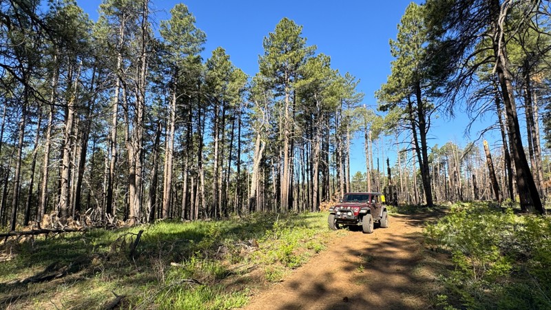
This is a short connector trail between Power Tank Trail and Little Round Mountain Trail. The western end of the trail has suffered wildfire damage, leaving downed trees, burned pines, and a swath of empty space. While not the scenic refuge many seek in the forest, it provides insight into the power of Mother Nature. There are no good camping opportunities along this trail. Most of the trail is packed dirt with scattered small rocks mixed in, but there is one dip into a drainage crossing that could get a bit messy with heavy rainfall.
Updated: 04/22/2026
1032
Scenic, Arizona
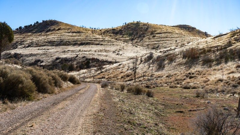
Road 1032 forms a U-shaped route connecting Mud Mountain Road (101) with Jump Canyon (1033), St. George Canyon(1034), and Tweeds Point (1616). The driving experience varies noticeably depending on which side of the "U" you’re on. The western side of the route travels through Hobble Canyon, which feels less traveled and noticeably bumpier. The eastern section of the "U" follows Upper Jump Canyon, offering a smoother but equally scenic drive through a narrower passageway.
Both sections provide excellent scenery. Numerous locations are flat and suitable for camping, although most are not pre-disturbed. It is recommended to air down, particularly for the western side, as it can be rocky and bumpy. Be advised that a potential washout is located just south of Jump Canyon and could pose a problem after heavy rainfall.
Updated: 10/15/2024
7365
Signal, Arizona
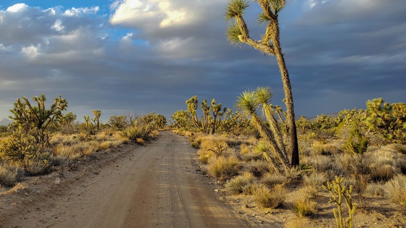
Once you find one little road off the beaten path you enjoy, you'll wonder what else you missed. Along with 7361 and 7366, this little trail is a fantastic detour off Alamo to enjoy the towering joshua trees and scenic views. Whether you're looking to camp or climb on boulders, make sure this trail is on your list with 7361 and 7366.
Updated: 10/15/2024
4353B
Haviland, Arizona
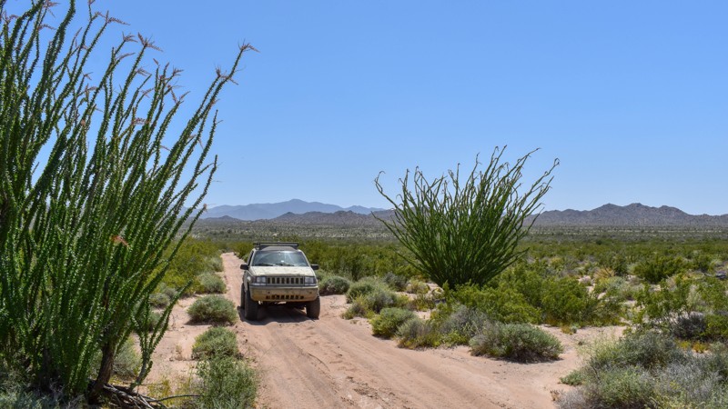
4353B is a simple connector from Spirit Ridge Road to 7387. This single-lane trail with mild pinstriping and small wash crossings provides access to this fun-to-explore desert region.
Updated: 10/15/2024
Coconino FR6416
Oak Creek Canyon, Arizona
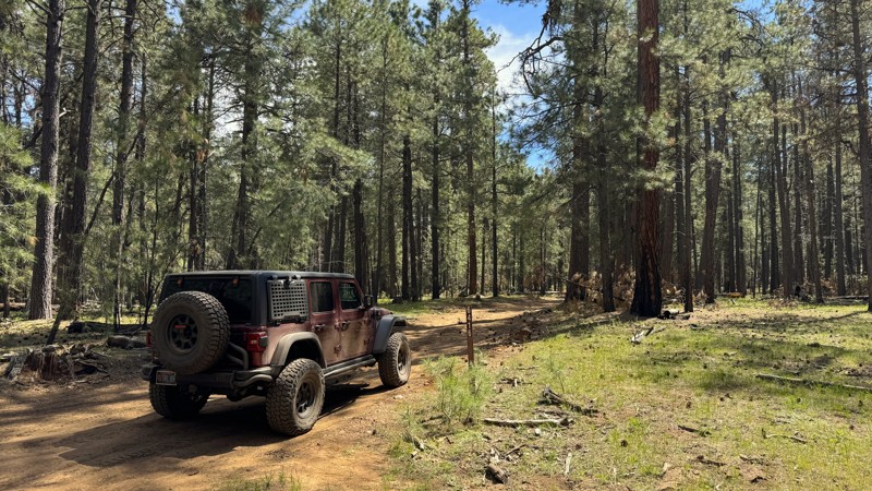
This trail is a simple connector that leads from FR6399 to Little Round Mountain Trail. It is made of hard-packed dirt with scattered small rocks. The section nearest to FR6399 can get muddy after recent rains, but it isn't too challenging. Although this connector trail will bring you closer to a few campsites with a view at the end of Little Round Mountain Trail, there are no established sites along this trail.
Updated: 02/09/2026
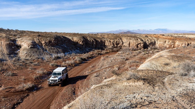
Salaratus Draw
Rock Crossing, Arizona
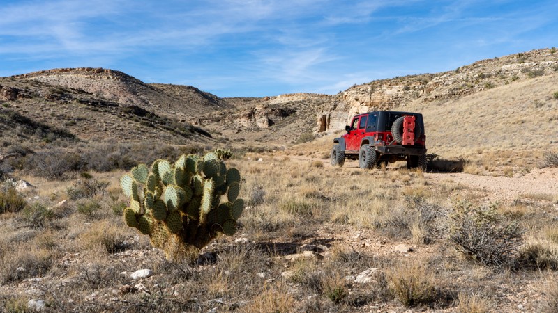
If you have been driving in the wide-open areas of Sunshine Trail Road or Main Street, going through this draw will provide a different view than you have already seen. A draw is a shallow, natural drainage with broad, gentle slopes that funnel water during storms and is typically more open than a canyon, but more defined than a flat desert.
Salaratus means aerated salt, so we can only surmise that at one point in time, ranchers and other inhabitants would come here for what is essentially baking soda.
The route can be driven in either direction and hugs and crisscrosses a wash with taller walls on each side. The wash crossings require a higher clearance vehicle and can change depending on the weather. Camping can be found in flat areas, but there are not many pre-disturbed sites available.
If you drive the trail in mid to late spring, you'll likely find the Fickeisen Plains Cactus flowering in the draw, which is both beautiful and endangered. Enjoy them if you find them, but please leave them be!
Updated: 02/02/2026
2003
St. George, Arizona
BLM Road 2003 has a rugged, remote personality, offering technical wash driving, changing conditions, and a strong sense of solitude for those venturing deeper into the Arizona Strip.
It runs north–south through a narrow wash on the Arizona Strip, following intermittently through a confined corridor between mudstone and sandstone walls. Much of the route stays within the wash itself, creating a strong sense of isolation as the canyon walls rise close on both sides. Near the southern end, the trail climbs out onto a higher plain, where the landscape opens up to wide views of distant buttes and cliffs. From here, you can loop back toward Hurricane and St. George or continue south on Road 1036 to push farther into the Strip.
The surface is mostly dirt with scattered rocky sections, but conditions vary significantly depending on recent weather. Three ledge or waterfall-style obstacles are encountered in the wash, with the most technical reaching roughly three feet tall. An aggressive SUV with a mild lift is recommended. When dry, the route is manageable, but rain can quickly introduce deep mud, erosion, and flash-flood risk. This road should be avoided during storm events.
The road is not suitable for camping due to the terrain.
Updated: 07/21/2026
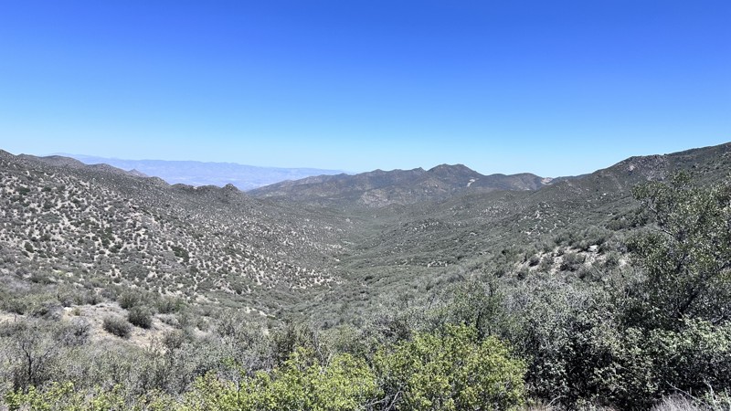
Southern Hualapai Mountain Traverse
Yucca, Arizona
The Southern Hualapai Mountain Traverse trail is a 31-mile point-to-point trail that crosses the Hualapai Mountain Range from the town of Yucca in the west to the town of Wikieup in the East. This trail is part of the larger trail network known as the Arizona Peace Trail (AZPT), a 750-mile loop from Kingman, AZ to Yuma, AZ. The majority of this trail is a narrow (single vehicle width), winding, and bumpy mountain shelf road. A lot of erosion damage will need to be negotiated along this trail, with rock shelves, loose rocks, fallen rocks, and large washouts down the middle of the trail. Caution needs to be taken as several pinch points along this trail will put the vehicle close to the edge of the shelf road.
The scenery along this trail is breathtaking. There are two mountain passes that have amazing views of the surrounding area. There are also many old mining and prospecting sites to explore. Camping along this trail is possible, but there are not many turnouts big enough to camp in while on the shelf roads. There is a large dispersed camping area on the east end of the trail.
Updated: 10/15/2024
4359Y
Franconia, Arizona
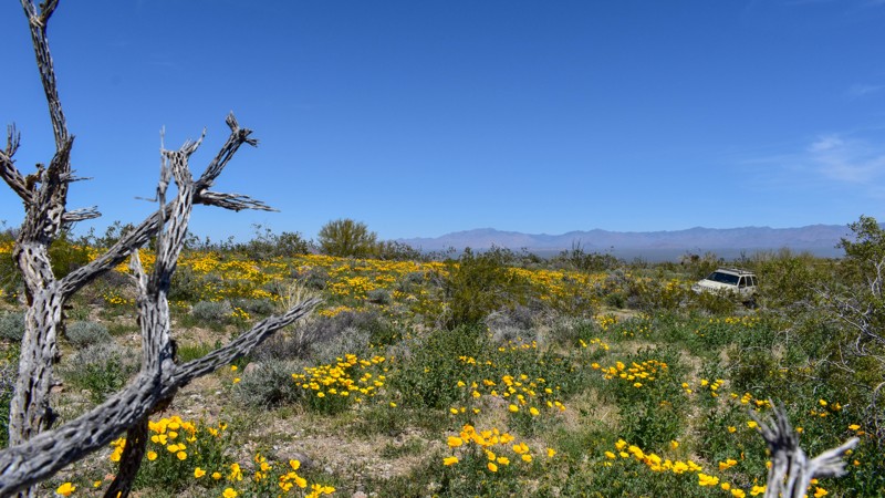
Barely visible, this path winds through the grassy hills, leading to a wash frequented by prospectors searching for gold at the turn of the 20th century. Fast forward to modern times, and in the spring, a new treasure emerges among these hillsides. Fields of yellow and gold poppies add a vibrant splash of color to the area's natural beauty. While the trail may be challenging to navigate due to its faint markings, it's a great option for those looking to explore and appreciate the area's unique beauty.
Updated: 10/15/2024
4353A
Haviland, Arizona
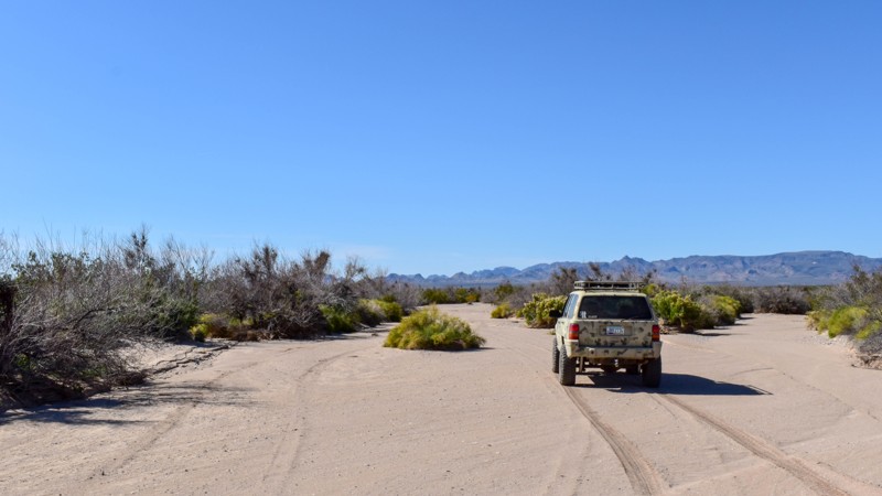
What to say about a wash that connects to connects two fun trails as well as access to 7387 Pipeline Road? When the sand is dry, it's very soft. The wash is prone to flash flooding, with the water left behind nourishing the sharp prickly overgrown plants that sink their needles and branches into the paint of passing vehicles. Avoid it? No, this wash is a blast trying to navigate all the twists and turns!
Updated: 10/15/2024
Johnson Ranch Cutoff
Swansea, Arizona
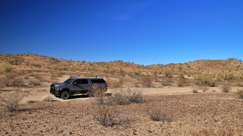
Running from Lincoln Ranch Road to Barnard Pipeline Road, Johnson Ranch Cuttoff alternates between a graded dirt road and sections of sandy wash. The trail is easy enough for 2WD vehicles if there haven’t been recent rains. The road is useful as a shortcut and little more.
A single campsite on a gravel playa is suitable for up to 3 vehicles and has a fire ring and nice views.
Updated: 05/01/2026
Crabtree Wash
Superstition Mountains, Arizona
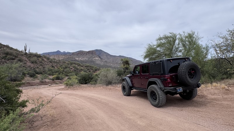
This hard-packed dirt trail serves as an alternate route to Apache Lake, offering an easy drive with minimal obstacles and smooth terrain throughout. It is well-defined and suitable for most vehicles, making it a great option for those looking to access the lake while avoiding busier primary roads. Use caution, as this is a wash and is susceptible to flash flooding.
Along the trail, you’ll find one designated campsite, providing an option for an overnight stay. As the trail approaches the lake, it delivers nice views and a unique opportunity to experience the water up close. The lakeside area is ideal for day use, whether you’re stopping to relax, take photos, or enjoy the scenery. Space is limited, and it fills fast during the season.
It’s important to note that while the trail reaches the water’s edge, camping and boat launching are not permitted at the lake access point.
Updated: 10/15/2024
4352B
Franconia, Arizona
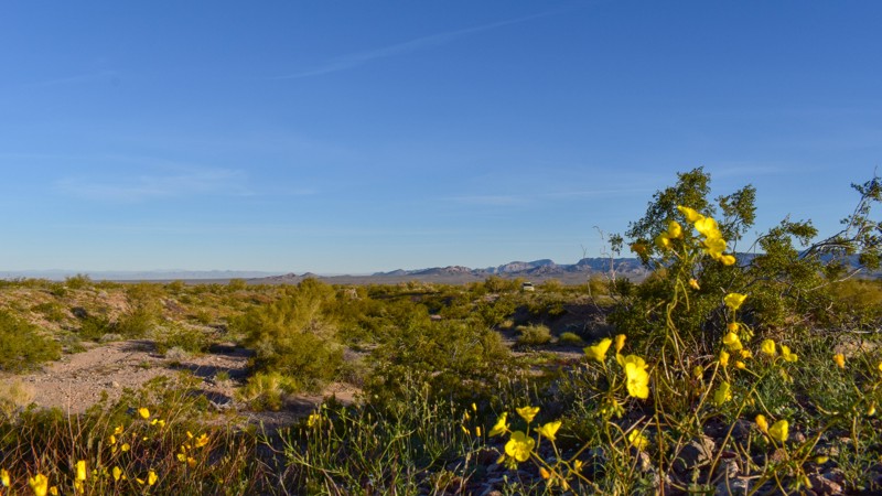
Located close enough to hear the hum of passing trains yet far enough to listen to the birds chirping and singing in bushes as the sun crests over the mountains filling the valley floor with warmth and light, 4352B offers a peaceful and secluded off-road experience. The trail winds between creosote bushes and ocotillos above the small washes carved over thousands of years in the desert floor. The area was once part of mining activity around the turn of the 20th century, with prospectors from all over the country searching for precious metals and minerals. Today, the trail and its surroundings remain largely untouched.
In recent years, 4352B has become a remote campsite for meteorite hunters, but it's unlikely you'll see anyone else on this quiet and secluded trail. While the origin of this spur is unknown, it offers a glimpse into the history of mining and meteorites in the area.
Overall, 4352B offers the beauty of the virtually untouched natural desert landscape and a chance to experience a less-traveled path. It's a great option for anyone who enjoys the peace and quiet of the outdoors.
Updated: 06/10/2026
Eldorado Jeep Trail
White Hills, Arizona
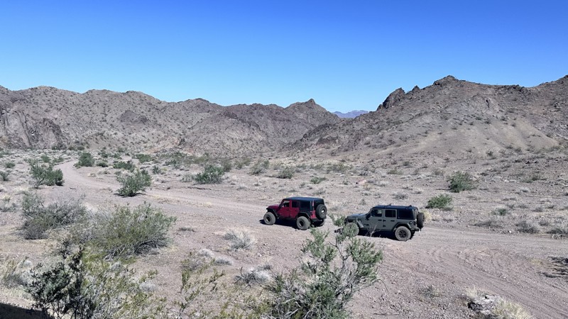
Eldorado Jeep Trail is a 20-mile out-and-back trail that follows down a wash to Oil Pan Cove on Lake Mohave in the Lake Mead National Recreation Area. Along the trail are remnants of several old mines to explore. This trail is mostly loose sand with sections of heavy washboarding. Dispersed camping is allowed in Oil Pan Cove.
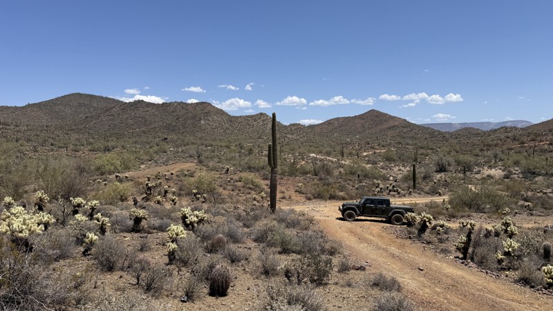
Updated: 06/10/2026
West Gasline Road
New River, Arizona
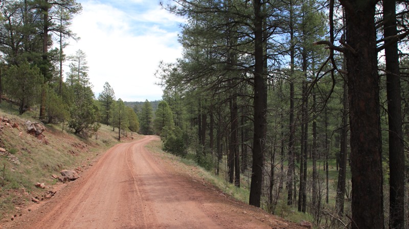
West Gasline Road winds through rugged low desert terrain lined with towering cacti, creosote, and wide-open Arizona views. This scenic backcountry route serves as a gateway to several other trails in the area, eventually linking up with Boulder Creek Ranch Powerline for even more exploration to the north.
The trail itself is mostly dirt with scattered softball-sized rocks that keep the drive interesting without becoming overly technical. Primitive campsites tucked along the route offer a chance to spend the night under dark desert skies far from the crowds. One particular location can accommodate a large group. A stock high-clearance 4x4 is all you need to enjoy this adventurous desert escape.
An Arizona State Trust Land Recreation Permit is required while on state land.
Updated: 10/15/2024
Valentine Canyon
Forest Lakes, Arizona
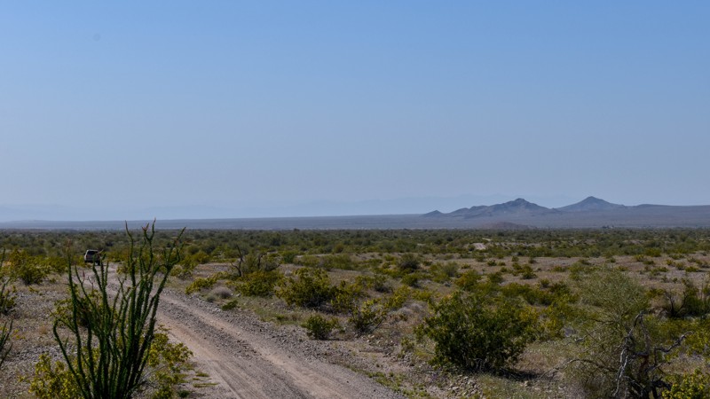
Valentine Canyon runs north/south along the east slope of its namesake drainage. The narrow, rutted shelf road has scattered pullouts to pass oncoming traffic. At the northern end of the trail, there are several small campsites.
Updated: 10/15/2024
4355
Franconia, Arizona
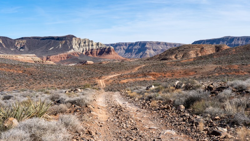
4355 is an excellent connector to access 4354, which runs through Palo Verde and Ideal Mines. It's a short trail, with great campsites and easy access from National Old Trails Road.
Updated: 02/05/2026
2004
St. George, Arizona
BLM Road #2004 connects 1035, 2003, and 1036, providing access between them. The road is moderate but non-technical, with loose rock present nearly the entire way. High clearance is required. There are several steep ascents and descents, and depending on your vehicle, you may choose to use 4-low to manage them. The terrain is not suitable for camping.
Visually, there’s a lot going on, with several truly picturesque spots along the trail. However, a high-power line follows the route, detracting from the overall experience. It’s a great road for connecting various routes in the area and spending a few hours on the trail.
Updated: 06/10/2026
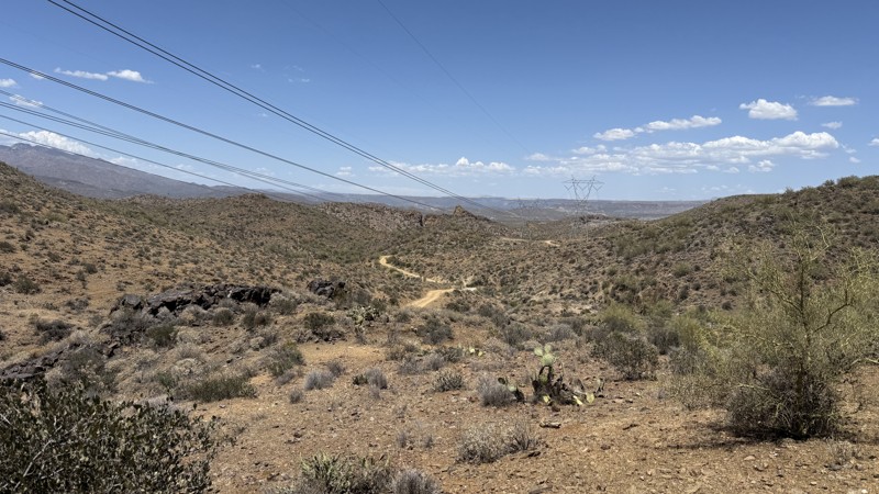
Crapshoot Powerline
New River, Arizona
This trail covers the second half of Crapshoot as it winds through the rugged landscape of the Sonoran Desert, following a series of power lines north toward Windmill Trail. The route features stretches of dirt with scattered softball-sized rocks and a rocky ledge obstacle that must be carefully driven up. A stock 4x4 can complete the trail with careful tire placement and moderate driving experience. There is a large open area towards the end of the trail for camping, which can accommodate a large group.
This trail is on Bureau of Land Management land, but an Arizona State Trust Land Recreation Permit is required to access it.

Upgrade your Membership
Unlock all of the details on every Trail Guide and Scout Route.
Start a 7-day Free TrialBrowse Trails in Arizona by City
Browse every Arizona city with offroad trail guides.
Community
Partners

