






Region

Rim Country - The Mogollon Rim

Arizona

Offroad Trails in Rim Country - The Mogollon Rim

A Region within Arizona
4.2/5 (420)

Overlanding Arizona: Top Trails Near Phoenix on the Mogollon Rim

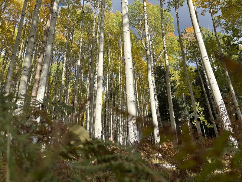
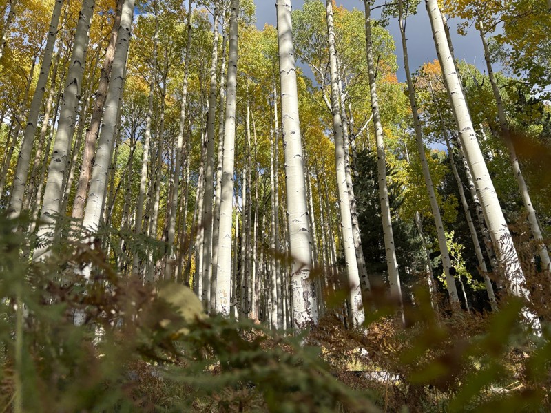
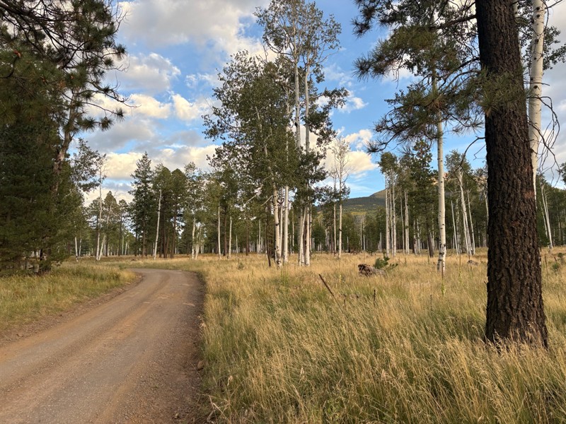
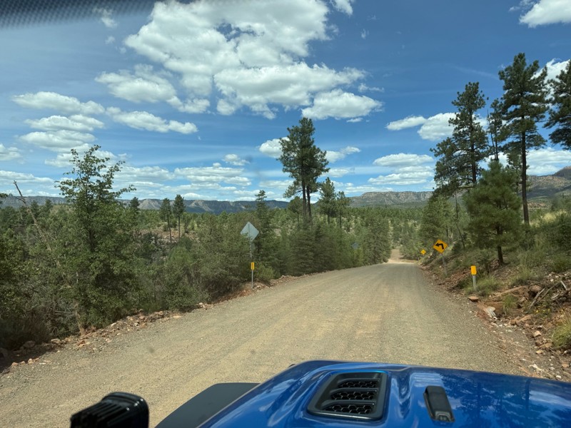
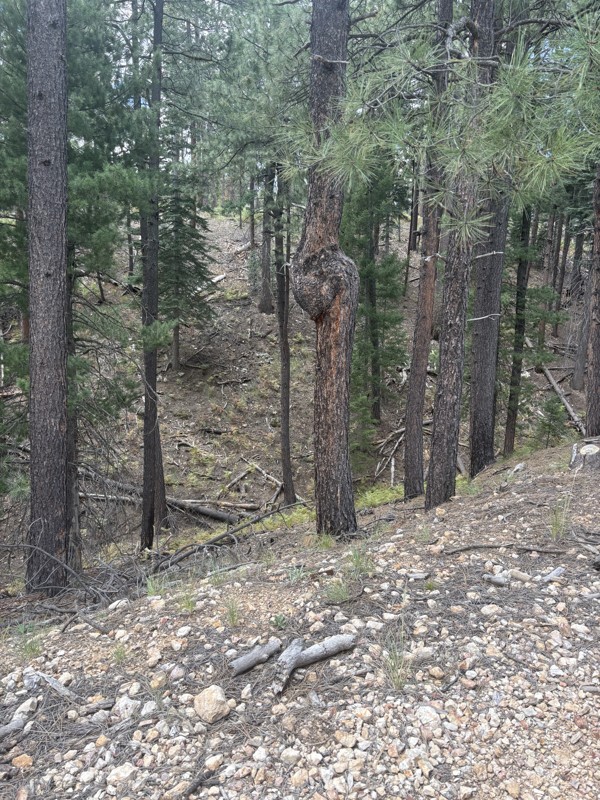
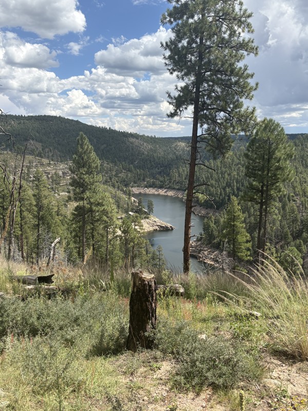
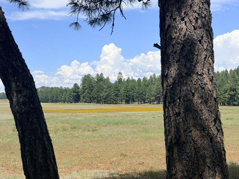
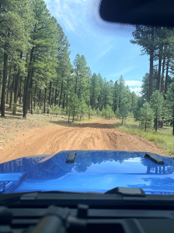
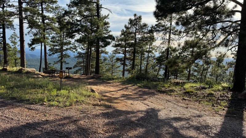
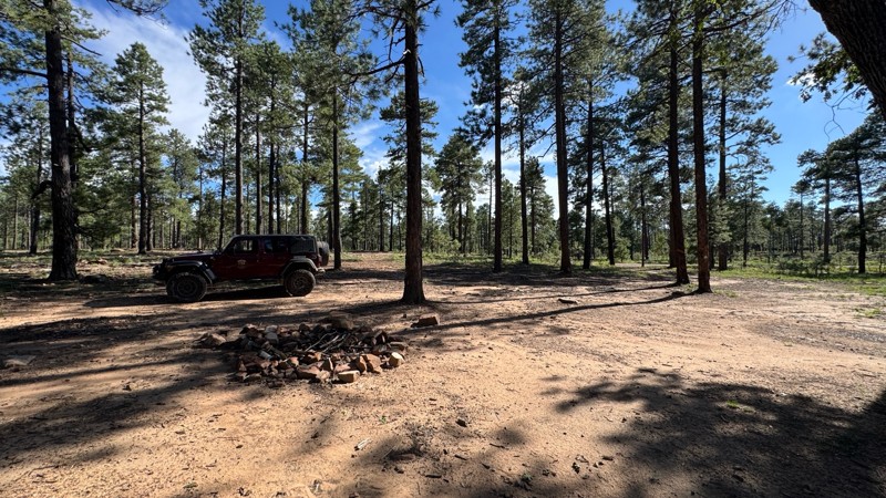
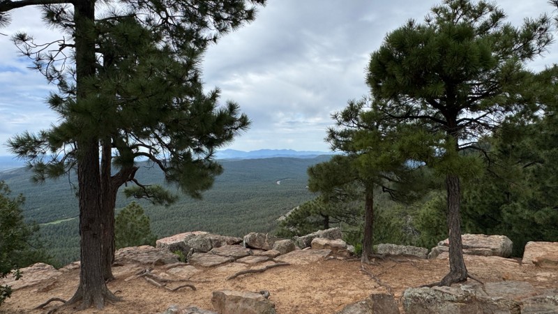
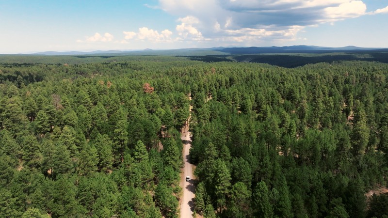
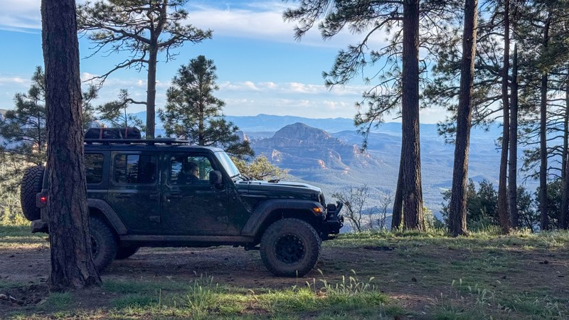
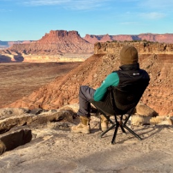
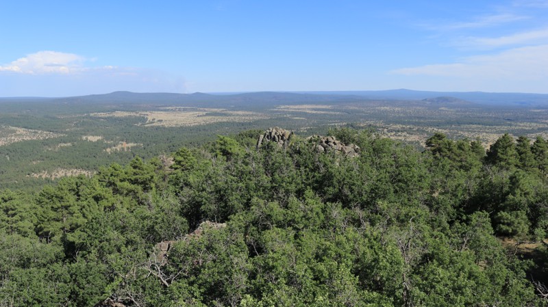
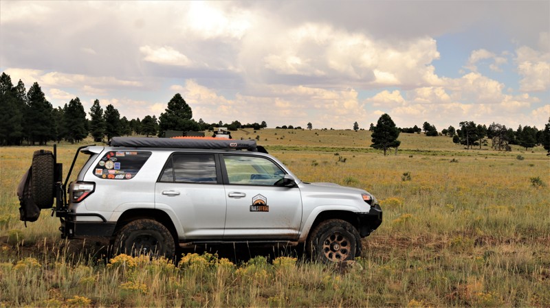
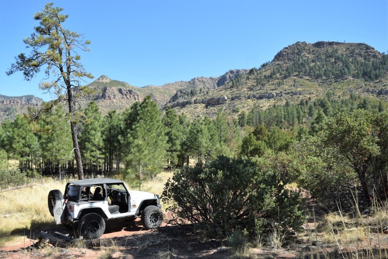
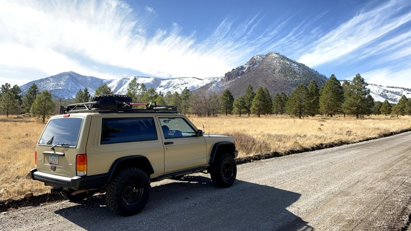
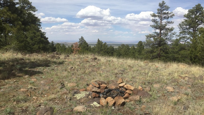
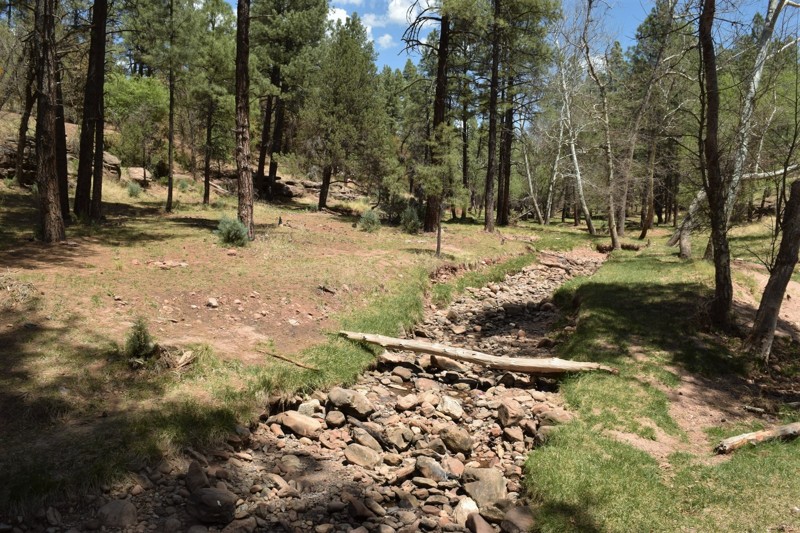
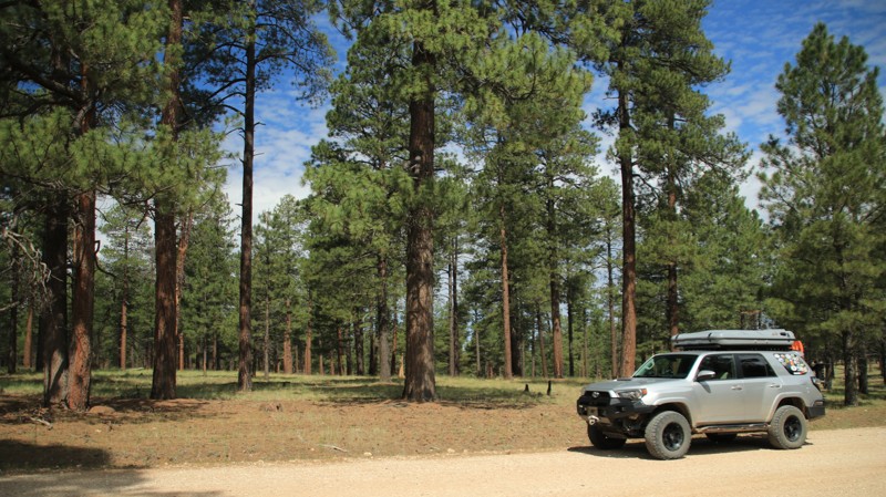
If you're looking to escape the desert heat, the Mogollon Rim (pronounced "MUG-ee-yon") is the perfect retreat for anyone living in the Phoenix metro area. Just a few hours north, this high-elevation destination offers cooler temperatures, stunning views, and access to the largest contiguous Ponderosa pine canopy in the world—ideal for unforgettable overlanding adventures in Arizona.

Explore the Best Overlanding Trails on the Mogollon Rim

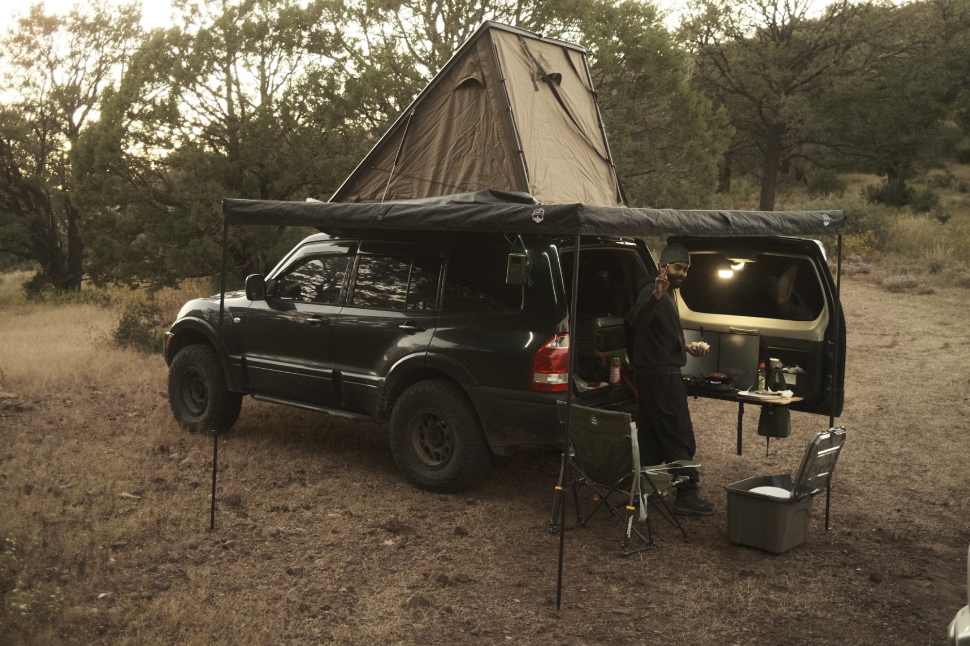
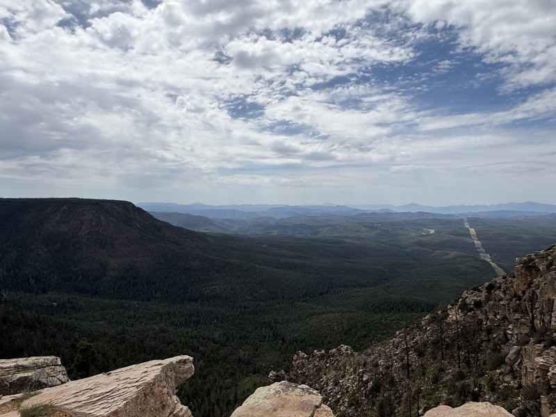
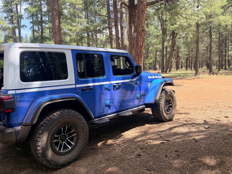
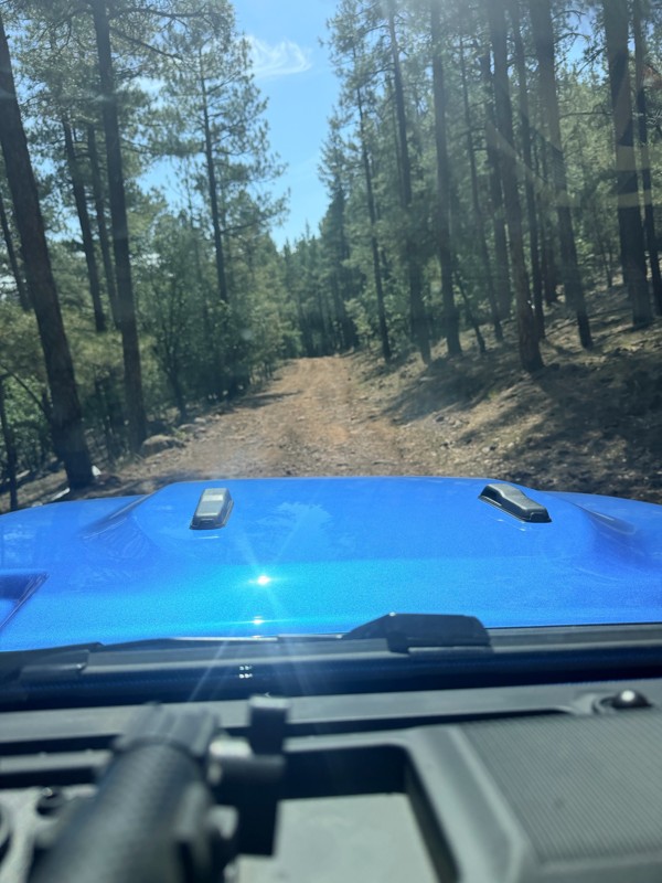
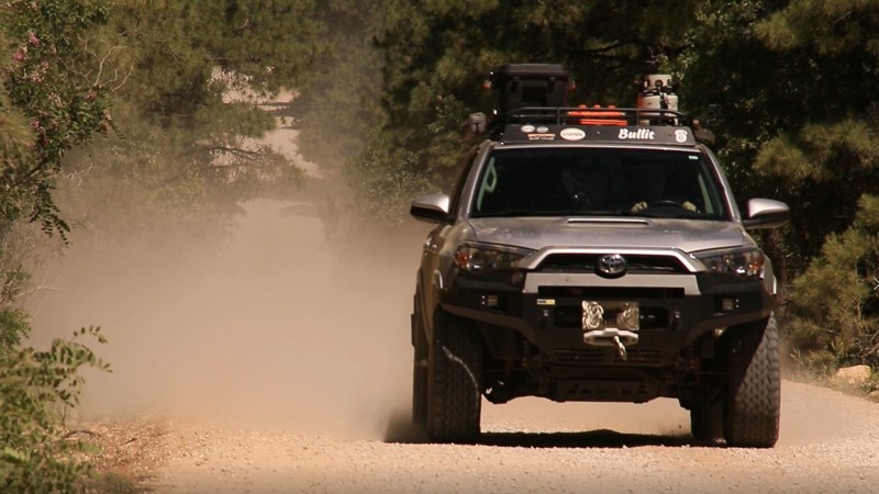
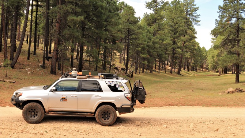
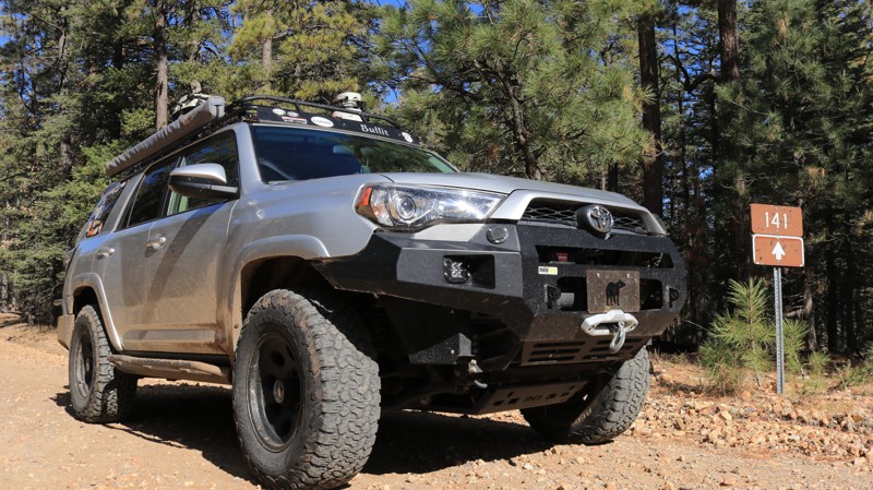
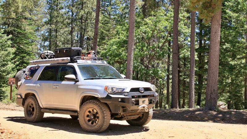
The Rim is a natural wonder stretching across central Arizona, known for its towering cliffs, deep forests, and endless trail options. Whether you're in a rugged 4x4 or a fully outfitted overlanding rig, these are the top three overlanding trails near Phoenix:

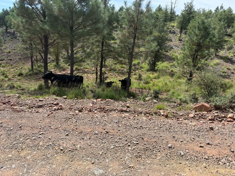
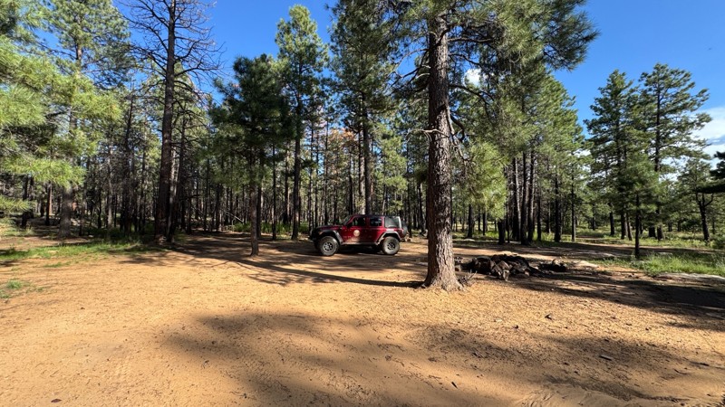
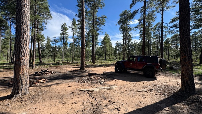
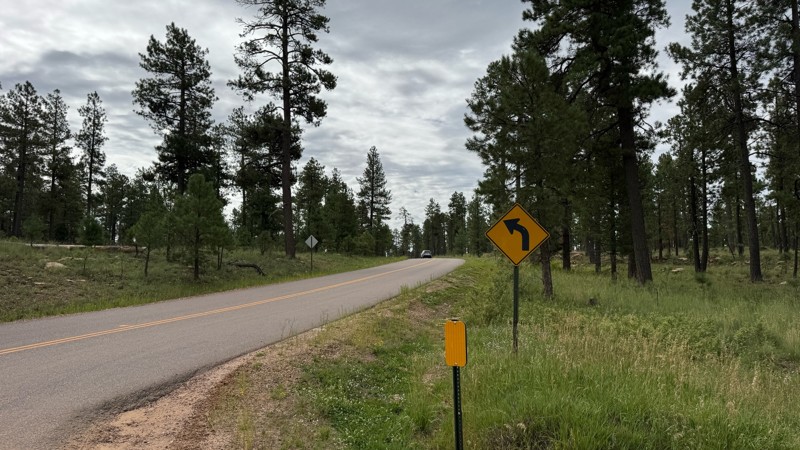
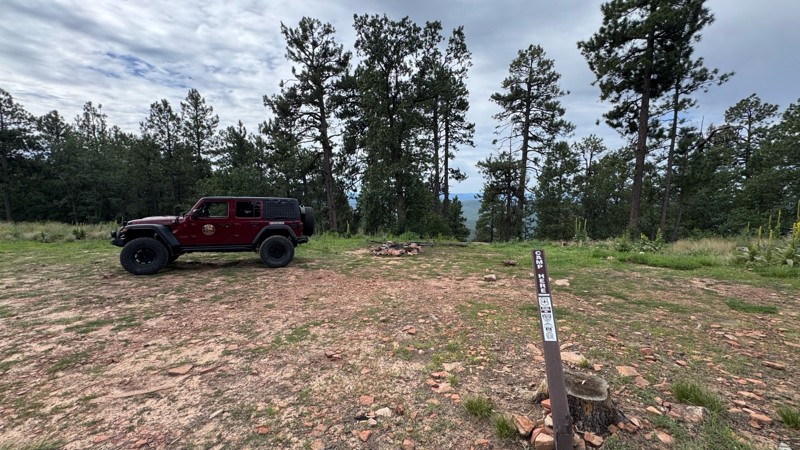
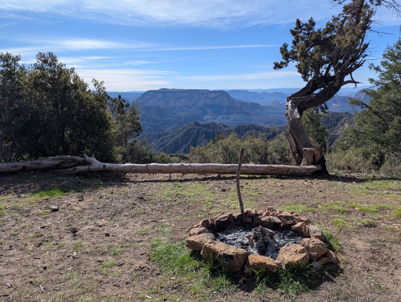
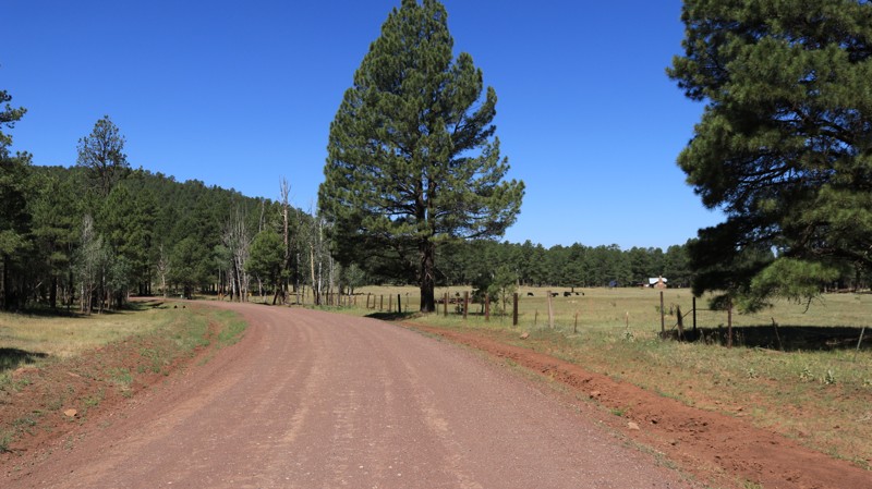
  1. Rim Road (Forest Road 300) One of Arizona’s most scenic drives, Rim Road hugs the edge of the Mogollon Rim for nearly 50 miles. This gravel road offers panoramic views, abundant wildlife, and countless dispersed camping opportunities—all surrounded by towering pines.

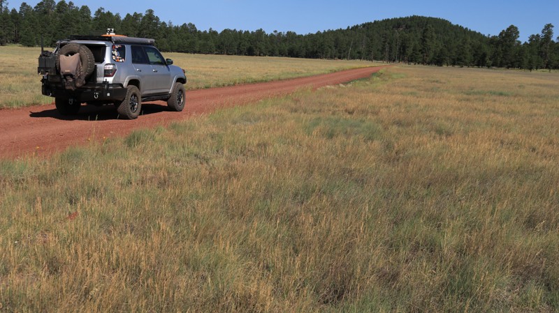
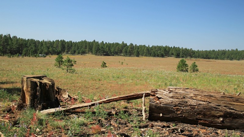
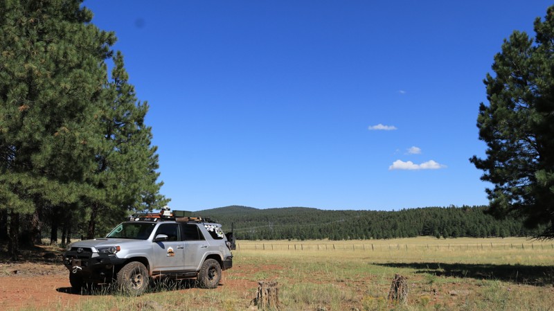
  2. FR 153A For a more remote adventure, Forest Road 153A offers a rugged, off-the-beaten-path experience. It winds through meadows and dense forest, perfect for those seeking solitude and a challenge. High-clearance vehicles are recommended.

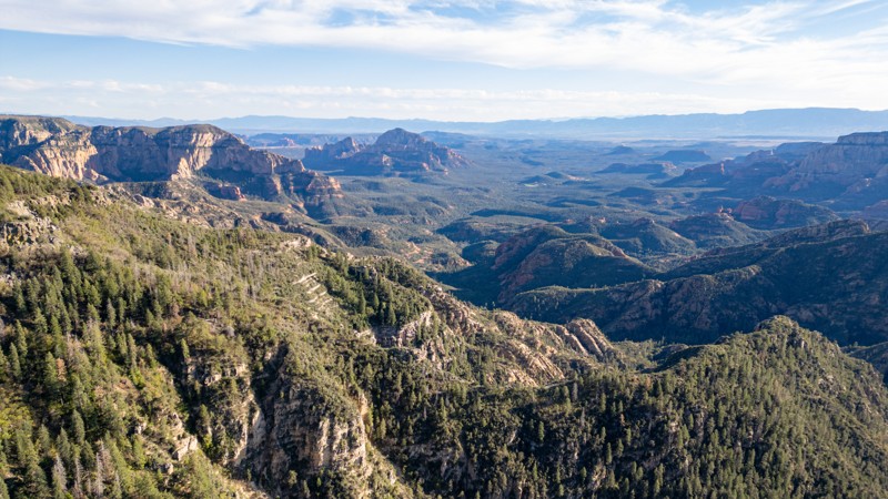
  3. Sycamore Point A short drive off the main routes, Sycamore Point rewards you with sweeping views of Sycamore Canyon—Arizona’s hidden gem. It’s a favorite for sunsets, photography, and quiet reflection.

Plan Your Rim Country Overlanding Adventure

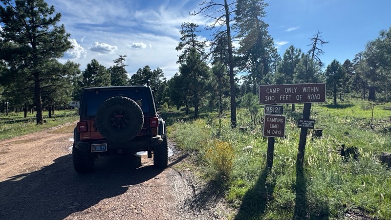
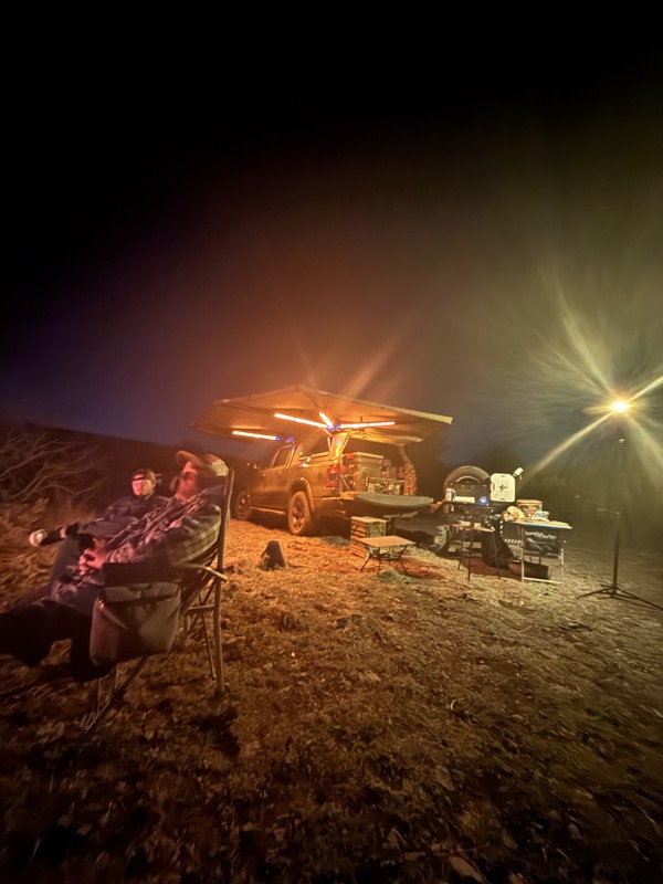
Do not feel limited to just the popular roads and trails. In fact, there are over 900 miles and 80 trails that we have documented, and hundreds of miles of forest service roads left to be explored. You could even overland from Phoenix to Flagstaff if you wanted to! Whether escaping for a weekend or building a longer trip, the Mogollon Rim delivers memorable scenery and ideal overlanding conditions. Before heading out, be sure to check for current fire restrictions and practice Leave No Trace principles. It’s a must-visit for Arizona adventurers looking to trade pavement for pine-scented trails.

Top Reasons to Explore Here

Basemaps
Go All-Access to Unlock


TRAILS OFFROAD™ TRAIL TYPES
Trail Guide
Full detailed write up with Advanced Rating System, Waypoints, Video, and more.
Scout Route
Lite version with highlights, camping, and hardest part documented. Vetted in person.
TRAIL DIFFICULTY RATINGS
easy (1-2)
Suitable for high clearance 2WD
moderate (3-4)
Best suited for a high clearance 4x4
difficult (5-6)
Best suited for a lightly modified 4x4
severe (7-8)
Best suited for a highly modified 4x4
extreme (9-10)
Best suited for specialized buggy type vehicles
LAYERS

Most Recent Trail Reviews

Most Popular

Search for Trails
Arizona: Sheep Springs Road Hero Photo
All-Access Icon
4.8/5 (6 reviews)
Updated: 09/03/2022

Sheep Springs Road

Mormon Lake, Arizona

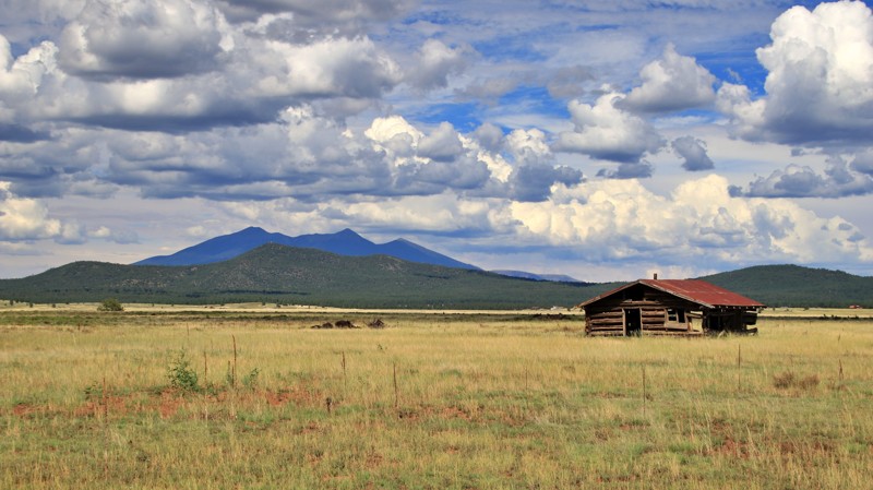
Sheep Spring Road leads into the heart of the vast and beautiful Coconino National Forest. Lined with ponderosa pines and the occasional aspen grove, the often bursts onto expansive alpine meadows, called parks by the locals. Sheep Springs Road traverses three large parks; Tie, Brolliar, and Long. These are favorite haunts of elk, mule deer, and pronghorns. The occasional flock of wild turkeys may cross the road as well. Both Brolliar and Long Park host historic log cabins. The Brolliar Park cabin was built in 1911 and is currently being restored. The Long Park cabin is two rooms and is in ruins but it remains an interesting glimpse into the history of the area. Sheep Springs Road is a fun and scenic drive, but stop and get out of your rig. Listen to the wind singing in the top of the pines, a distant elk bugling, and jays squawking in the trees. Life is good in the Coconino.

Arizona: FR 518 Hero Photo
All-Access Icon
4/5 (3 reviews)
Updated: 08/23/2022

FR 518

Flagstaff, Arizona

Located just outside Flagstaff in the Coconino National Forest, FR 518 provides easy access to fantastic camping and scenic forest trails. Travelers en route to the Grand Canyon or just passing through on I-40 or the old Route 66 will appreciate the peaceful campsites afforded by this well-maintained forest road. The sound of the wind in the tall Ponderosa Pines will quickly erase the stress of a day on the road. Listen carefully, and you might hear a bull elk bugling from somewhere deep in the forest. While Flagstaff is only a few minutes away, you'll feel like you are a million miles from the hustle and bustle of city life. Whether spending one night or staying for the 14-day camping limit, this trail is a great place to unwind.

Arizona: Apache Maid Lookout Hero Photo
All-Access Icon
5/5 (10 reviews)
Updated: 07/15/2023

Apache Maid Lookout

Camp Verde, Arizona

The Apache Maid fire tower arguably has the best views in central Arizona. Be kind to the fire watch in the tower, and you will likely receive an invitation to the top. Getting there requires climbing the 30-foot scaffold holding up the tower's cab, and negotiating over 2 miles of narrow shelf road. The views are definitely worth the effort. From the summit of Apache Maid Mountain at 7301 feet, the entire topography of the heartland of Arizona surrounds you. Vistas of pine forests, open grassland meadows, the San Francisco Peaks north of Flagstaff, the red rocks of Sedona, the Mogollon Rim, and Mingus Mountain all lay at your feet. Both the road and the tower were completed in 1961. The drive up switchbacks along the southern side of the mountain provide stunning views at each turn. A picnic table at the summit makes for a sweet place to grab a bite. Enjoy!

Arizona: East Clear Creek Hero Photo
All-Access Icon
4.6/5 (11 reviews)
Updated: 10/28/2023

East Clear Creek

Pine, Arizona

East Clear Creek serves as the gateway to the heart of the wild and wonderful Mogollon Rim area of the vast Coconino National Forest. The road draws its name from its crossing of the picturesque mountain stream of the same name. The stream's deep canyon, with its soaring sandstone cliffs, is a perfect natural barrier and only one road crosses it. The East Clear Creek crossing offers a chance for the kids to splash in the shallow water and chase crayfish under rocks. Anglers hike along the stream locating deeper pools in search of trout. Beyond the crossing, a variety of fantastic adventure opportunities await. The Cabin Loop, a series of interconnected trails, is one of the top backpacking destinations in Arizona because of its beauty and the sheer number of reliable springs along the route. Campsites set among the pines, fir, and spruce provide a basecamp for exploring down into canyons or driving the seemingly endless maze of forested trails. It's almost a certainty you will see elk and lots of them during your time along this trail and all the smaller roads and trails that branch from it. Finally, the road drops you off near the vertical precipice of the Mogollon Rim, 3000 feet above the northernmost reaches of the Sonoran Desert below. The views from atop the Rim are truly inspirational. Snagging a campsite right on the edge of the Rim is a highly unique experience. East Clear Creek is indeed the gateway to this amazing section of the Mogollon Rim, a virtual magic carpet to adventure. Take a ride on it and see what adventure you can find.

Arizona: Lost Eden Hero Photo
All-Access Icon
3.7/5 (5 reviews)
Updated: 06/18/2022

Lost Eden

Payson, Arizona

With a name like Lost Eden, you know the area has to be something special. The name is derived from an old homestead and ranch of the same name near Todds Draw, south of the current Lost Eden road. The remains of the ranch still exist but are on a small plot of private land. Today, far more visitors roam the area than in the old ranching days. Lost Eden is a popular playground for the outdoorsy. Summer weekends find the road lined with campers, often in large impromptu villages. ATVs full of happy smiling faces parade the main road. If the exuberant crowds aren't your thing, blissful solitude can be quickly found along some of the more challenging side trails. The stately Ponderosa pines and occasional open grassy valleys offer lots of chances to see elk and other area wildlife. No matter what your idea of Eden might be, you can find it on Lost Eden.

Arizona: Stoneman Lake Road Hero Photo
All-Access Icon
2.8/5 (10 reviews)
Updated: 02/07/2024

Stoneman Lake Road

Camp Verde, Arizona

Located in the beautiful Coconino National Forest, Stoneman Lake Road begins in a juniper and scrub pine forest on the west end and climbs steadily into towering Ponderosa pine forests, Gambel oaks, and grassy alpine meadows. Elk, deer, turkeys, coyotes, and the occasional black bear all reside in the area and are often spotted along the drive. Stoneman Lake is an 8 million-year-old geological oddity, a large bowl-shaped depression that holds rainwater and snowmelt. More a marsh than a lake, geologists disagree on whether it is the caldera of a small volcano or a sinkhole. KT Ranch is a highlight of this trail. Its bucolic pastoral setting evokes every kid's dream of being a cowboy. An active ranch, its cattle graze on the expansive open meadows and laze under in the shade of old-growth pines. Stoneman Lake Road is a wonderful place to escape the desert's summer heat for some relaxed camping and enjoy all this beautiful area has to offer.

Arizona: Mahan Ranch Hero Photo
All-Access Icon
4.5/5 (4 reviews)
Updated: 06/05/2022

Mahan Ranch

Mormon Lake, Arizona

Mahan Ranch starts in the pristine Ponderosa pine woodlands of the Coconino National Forest. The road skirts the forested southern slopes of Hutch Mountain before passing through a section of private property, once the headquarters of the namesake Mahan Ranch. Today the cattle you see grazing summer pastures belong to the Apache Maid ranch, one of Arizona's earliest and most storied ranching operations. Periodically the pines give way to flowery alpine meadows, parks in local parlance. The road is smooth and well-traveled, but that will change. The intersection with Bargaman Park marks a change in the road. At first, the trail just seems narrower. Then the dirt surface turns to a jumble of rock. Then comes the embedded boulders. Loose items in your vehicle begin a journey of their own. Cattle watch you pass with a bit of surprise. Don't despair. It gets a little better after two miles of testing the quality of your dental fillings. Mahan Ranch breaks out onto Anderson Mesa, leaving the pine forest behind in favor of more open savanna grasslands with long views of mountain promontories far away. Here the trail is abasic two-track snaking out ahead. Tall grasses swipe the undercarriage of your vehicle. Cresting a ridge, picturesque Pine Tank leaps into your view. The beauty of Anderson Mesa makes you forget the rough rocky trail behind you. But don't worry, you will be reminded again. Unfortunately, Mahan Ranch, despite what maps may show, comes to an inglorious end at a sign informing the traveler of a locked gate ahead. The gate serves to protect a fragile habitat used by the more permanent residents of the area. The unused roadbed can be traversed on foot. The reverse route back does require enduring the rough section, but the adventure is definitely worth the price.

Arizona: FR 195 - Tonto National Forest Hero Photo
All-Access Icon
4/5 (8 reviews)
Updated: 06/04/2024

FR 195 - Tonto National Forest

Payson, Arizona
If camping and exploring trails in the pines with your 4x4 sounds like a great time, then this would be the spot to start. Camping in this area makes for a great starting point for exploring the Arizona Mogollon Rim country near Payson, Arizona. The trail is easily accessible from FR64, Control Road and located near the East Verde Creek at Verde Glen. All within an easy trail ride from camp, you can hunt geodes at Brody Hill, rock crawl Pyeatt Draw or go for a hike on the Highline Trail #31. Along this route you can visit an old recreation site where the foundations and walkways are barely visible. The trail has many beautiful dispersed campsites along the way, the one at the end is below the Mogollon Rim, also allowing access to the Highline Hiking Trail.
Arizona: Old Walnut Canyon  Hero Photo
All-Access Icon
2.8/5 (5 reviews)
Updated: 12/31/2023

Old Walnut Canyon

Flagstaff, Arizona
Where else can you get in 4x4 (on FR301), a national monument with cliff dwellings, a beer and sandwich on the patio of the country club’s restaurant, prime mountain biking and hiking (Arizona Trail, Fisher Point, Walnut Canyon), and golf, all within a few miles and right off a major interstate? There are hotels at the I-40 / Country Club interchange. So if you find yourself on I-40 on the east side of Flagstaff, consider taking a detour for a couple of hours to avail yourself.
Arizona: Little Elden Springs Hero Photo
All-Access Icon
3.6/5 (10 reviews)
Updated: 01/07/2025

Little Elden Springs

Flagstaff, Arizona

Located in Flagstaff and the Coconino National Forest, Little Elden Springs Road is a short useful connector road up the eastern flank of Mount Elden. It is the faster way to the high-elevation hiking trailheads and mountain biking off Schultz Pass. There is also access to horse trails along Little Elden Springs Road, and a fun rock garden for kids to play on at Waypoint 4.

Arizona: Kinnikinnick Road Hero Photo
All-Access Icon
4/5 (4 reviews)
Updated: 06/05/2022

Kinnikinnick Road

Mormon Lake, Arizona

Spanning two very unique ecosystems in the vast Coconino National Forest, Kinnikinnick Road is a very scenic route. While the southern section sees many visitors on their way to Kinnikinnick Lake or simply to camp among the majestic Ponderosa Pines, the northern half is less traveled. Typically only ranchers and hunters venture up onto the wide-open grasslands of Anderson Mesa. However, the solitude offers a peaceful opportunity to contemplate the amazing views of the San Francisco Peaks in the distance or the tall grasses and wildflowers swaying in the cool breezes. While Kinnikinnick Road is a worthy destination on its own, those with a penchant for traveling longer distances on dirt can connect to FR 126 in the north and Anderson Mesa South to create quite the adventure. Given the many offshoots from Anderson Mesa South, a variety of all dirt routes from Interstate 40 south to Camp Verde become possible. Taken in that light, Kinnikinnick Road becomes the linchpin for classic overland adventures.

Arizona: Dane Ridge Hero Photo
All-Access Icon
4/5 (5 reviews)
Updated: 09/22/2023

Dane Ridge

Pine, Arizona

Located in the eastern reaches of the vast Coconino National Forest, Dane Ridge cuts through a deep forest of Ponderosa pines. Near the higher southern end of the trail, spruce and fir trees join the pines evoking an alpine forest more reminiscent of Colorado than Arizona. Elk, deer, and turkey sightings are commonplace along the delightful track. As its name implies, Dane Ridge rides along the ridgeline between Dane Canyon on the west and Yeager Canyon on the east. The ridge narrows in several places where travelers are simultaneously looking down the wooded slope of each canyon. A highly recommended side trip is to Dane Springs and Dane Cabin. At Waypoint 5, FR 321A goes off west to some fantastic camping and a small parking lot with a wood rail fence. A short hike west down into Dane Canyon ends at Dane Spring and the remnants of Dane Cabin. The spring, flowing from under a huge boulder, is one of the most reliable and tastiest water sources in the area. The spring has been boxed and now flows out a short pipe. The cabin nearby was once the Fall hunting base for renowned western novel author Zane Grey. Dane Ridge ends at the iconic Rim Road and a spectacular view off the edge of the Mogollon Rim. There are several campsites nearby right on the edge of the Rim for a night under the stars where you feel like you are on top of the world.

Arizona: FR 164B Canyon Loop Hero Photo
All-Access Icon
3.2/5 (13 reviews)
Updated: 06/20/2024

FR 164B Canyon Loop

Flagstaff, Arizona

Canyon Loop, FR 164B, is a good place for dispersed trailer camping, and a good place to do some forest restoration tourism. This dirt road, while rough, offers abundant dispersed camping for your RV, trailer, or out of your car, without crowding or fees. The setting is the beautiful Ponderosa Pine forest of the Coconino National Forest. The forest is undergoing restoration under the Fort Valley Restoration Project, and you will have a chance to see your tax dollars at work improving the health of this once-overgrown forest. It's not the most choice camping destination in Flagstaff, but it is free, uncrowded, conveniently located by Snowbowl, and easily accessible. And if you're feeling adventurous, this is a great way to cut the corner from US-180 to Snowbowl Road, adding half an hour of time but making the drive more interesting. As a bonus, you'll have access to the Fort Valley Trail and the Moto Trail, which are good places to mountain bike and which connect with the Arizona Trail.

Arizona: Freidlein Prairie Hero Photo
All-Access Icon
4/5 (21 reviews)
Updated: 06/20/2024

Freidlein Prairie

Flagstaff, Arizona

Freidlein Prairie provides the closest motorized access to the Kachina Peaks Wilderness and Kachina Trailhead and fourteen high-elevation designated campsites. Views of the peaks are limited by the beautiful alpine forest. Mexican Spotted Owls, a protected species, live in the area, and the campsites are closed for their breeding season. For those visiting the Snowbowl ski resort on the west side of the peaks for activities in the summer, access to 522 is located conveniently halfway up Snowbowl Road. The hiking trailhead parking lot at the end of Freidlein Prairie is within a few hundred yards of the Kachina Wilderness boundary and the demanding but enjoyable Kachina Trail.

Arizona: 9129D to Alto Spring Hero Photo
All-Access Icon
4.2/5 (9 reviews)
Updated: 06/20/2024

9129D to Alto Spring

Flagstaff, Arizona

Hunting! This is the main reason you’ll be using FR 9129D. Alto Spring is a game hotspot​ (in wet years) and excellent hunting territory. During the Fall, the aspens turn golden. You’ll also find many prime campsites on side trails, with great views of the Peaks. If the snow flies early, this is a tremendous snow-wheeling road.

If you come at other times of the year, you’ll be able to hike, mountain bike, or snowshoe, and you’ll have the place entirely to yourself due to that locked gate. This is an excellent spot for a short overnight backpacking trip when the gate is closed during the summer.

Arizona: Blue Ridge Reservoir Hero Photo
All-Access Icon
4/5 (5 reviews)
Updated: 10/28/2023

Blue Ridge Reservoir

Pine, Arizona

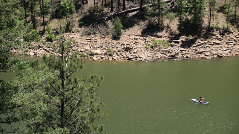
Large bodies of water in Arizona are rare and wonderful. Blue Ridge Reservoir sits high in the Coconino National Forest pine woodlands in the deep canyon formed by East Clear Creek. A few years ago, the lake was renamed C.C. Cragin reservoir when water rights management changed hands. But the signage and all the locals still call it Blue Ridge. Wonderful camping and hiking opportunities dot the trail leading to the reservoir. But the lake is the main draw. Anglers come to try their luck since the waters are regularly stocked with rainbow, brown, and brook trout. Colorful canoes and kayaks ply the lake's cold water. Paddlers often see elk and deer watering on the shoreline. Beyond the boat ramp facilities, the road gets a little rougher and less traveled as it winds around the lake towards the dam that blocks East Clear Creek to form the deep narrow reservoir. At the trail's end, a short walk along the lake leads to great views of the dam and its complex jigsaw-puzzle spillway. Come for the lake views, fishing, paddling, and even a campfire under starry skies. Blue Ridge has a lot to offer.

Arizona: Wing Mountain Road Hero Photo
All-Access Icon
3.3/5 (4 reviews)
Updated: 08/23/2022

Wing Mountain Road

Flagstaff, Arizona

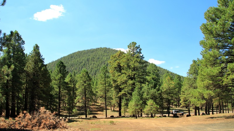
Wing Mountain Road is all about camping among the Ponderosa Pines of the Coconino National Forest in Arizona's high country. Just north of Flagstaff, the area is perfect for campers headed to the Grand Canyon, traveling I-40, attending Overland EXPO West, or just wanting to get away. There are dozens of great campsites along Wing Mountain Road. Ravens and blue jays will undoubtedly take note of where you choose to camp. In the Fall, you'll hear elk bugling. Named for the cinder cone volcano just south of the road, Wing Mountain Road cuts through the largest Ponderosa Pine forest in North America. You'll see plenty of old stumps. When the Atlantic and Pacific Railroad reached Flagstaff in 1882, numerous lumber yards sprung up. The mills heavily harvested the virgin pine forest. They shipped lumber by rail as far away as Albuquerque and Los Angeles. The stumps of the cut trees remain, but there are ancient Ponderosa Pines still residing in the forest. The bark of young pines is black. Once reaching a hundred years old, the Ponderosas have an orange-yellow color to their bark. Loggers differentiate the two by calling them "blackjacks" and yellow bellies." The wind in the tops of the pines sings a very relaxing song. Stop and take a listen.

Arizona: FR 141 Hero Photo
All-Access Icon
4/5 (3 reviews)
Updated: 06/05/2022

FR 141

Payson, Arizona

FR 141 is a beautiful drive that cuts through the heart of the Mogollon Rim high country. Located in the vast Coconino National Forest, the trail provides easy access to Rim Road with its stunning views atop the massive geologic uplift that forms the boundary between the Colorado Plateau and the Sonoran Desert. The trail crosses grassy prairies, deep Ponderosa pine forests, and several canyons. With an elevation above 7,000 feet, FR 141 is in one of the few areas of Arizona that experiences a true four seasons. Summers are mild, and the trail offers lots of camping opportunities for those fleeing the scorching desert heat below. Fall brings scattered color with aspens, oaks, and maples on the canyon floors. It is also the season that attracts hunters to the largest elk herd in the U.S. Deer and wild turkey are also plentiful and often seen as you drive the trail. Winter can deliver a thick carpet of snow to the area, ensuring a wonderfully green Spring. Enjoy the beauty of the area as FR 141 transports you from pavement to a myriad of opportunities to explore the Arizona high country.

Arizona: Dry Dude Creek Hero Photo
All-Access Icon
5/5 (5 reviews)
Updated: 06/05/2022

Dry Dude Creek

Payson, Arizona
If camping and exploring trails in the pines with your 4x4 sounds like a great time, then this would be the spot to start. Camping in this area makes for a great starting point for exploring the Arizona Mogollon Rim country near Payson, Arizona. The trail is easily accessible from FR64, Control Road, and located near the East Verde Creek at Verde Glen. All within an easy trail ride from camp, you can hunt geodes at Brody Hill, rock crawl Pyeatt Draw, or go for a hike on the Highline Trail #31.
Arizona: Dick Hart Ridge Hero Photo
All-Access Icon
4.7/5 (5 reviews)
Updated: 06/01/2024

Dick Hart Ridge

Pine, Arizona

Dick Hart Ridge, also called FR 139, is set in the Ponderosa pine forest atop the Mogollon Rim in the vast 1.856-million acres Coconino National Forest. The road crosses three of the five hiking trails that constitute the Cabin Loop, one of Arizona's preeminent backpacking destinations. Dick Hart Ridge ends at the Mogollon Rim and Rim Road, one of the most scenic and storied offroad drives in Arizona. The views from the Rim's 3000-foot escarpment are simply breathtaking. The road is set on a prominent ridge named after a stockman who operated a sheep shearing facility on the east side of the spine, thus becoming Dick Hart Ridge. A separate trail ran east/west to the shearing shed set by a spring in a small canyon. One of the men at the shearing plant was so accomplished with his scissors that locals came to him for a haircut, earning the canyon and trail the moniker Barbershop which still is used today. The southern end of Dick Hart Ridge climbs above 7000' and receives a good deal of rainfall. The forest here is still primarily pines, but stands of fir and spruce mix in as well. Elk, deer, bear, turkeys, and a few million squirrels call this primordial forest home. You will definitely see the squirrels, and likely see some elk. Keep your eyes open, and who knows what else you might see along Dick Hart Ridge.

Arizona: Bargaman Park Hero Photo
All-Access Icon
4/5 (3 reviews)
Updated: 01/08/2024

Bargaman Park

Mormon Lake, Arizona

Located in the expansive and beautiful Coconino National Forest, Bargaman Park is a small jewel. The trail packs a lot into its five miles and connects with FR 109 and Mahan Ranch. Traversing a forest of stately Ponderosa pines, the easy trail passes the edge of its namesake, the beautiful Bargaman Park meadow. This open grassy plain is prime grazing for the free-range cattle that spend their summers here. But don't be surprised to see elk and pronghorn along the edges of the meadow, either. They will mostly be out in the early mornings or late afternoons. Wildflowers dot the park as well. Emerging in Spring, they last almost all Summer. Whether camping at any of the numerous dispersed sites along the trail or just taking a sightseeing drive, Bargaman Park is a gem of a trail.

Arizona: Garland Prairie Hero Photo
Scout Route Icon
4/5 (2 reviews)
Updated: 10/15/2024

Garland Prairie

Parks, Arizona

Garland Prairie is a massive alpine meadow. The road by the same name is the spine of the area's trail network. The road begins and ends off Interstate 40. Short stretches of the ends are paved since they serve homes and small businesses. The vast center is a wide, well-maintained gravel road that winds in and out of private land and the Kaibab National Forest. Both entities graciously number the road 141.

Expect to see cattle grazing on the prairie and deer peaking from the forests. Old homesteads sit abandoned on the prairie.

Being a busy travel artery, there are no campsites along the trail. But the many offshoots have every sort of forest recreation you can imagine.

Arizona: Wallace Hero Photo
Scout Route Icon
5/5 (1 reviews)
Updated: 10/15/2024

Wallace

Whitted Place, Arizona
Wallace runs through the beautiful Sitgreaves National Forest. Portions of the trail are park-like, with tall Ponderosa pines shading the forest floor. To the north, the pines give way to juniper studded grasslands. There are numerous large shaded dispersed campsites scattered along the trail. Most will support multiple rigs of any size, tent camping, and hammocks. After exiting Sitgreaves National Forest, the road becomes Highway 87 to Winslow, providing a nice northern entry into the beautiful Mogollon Rim country of central Arizona.
Arizona: FR 228 Hero Photo
All-Access Icon
3/5 (9 reviews)
Updated: 06/29/2026

FR 228

Flagstaff, Arizona

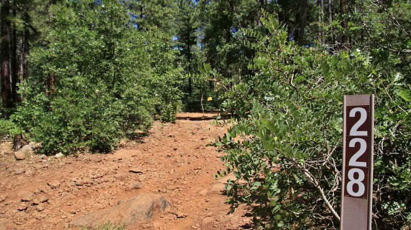
Growing up, everyone had a friend that was a bit short, rugged, rough and tumble, not that great to look at, but fun to be around. If that friend was a trail, he'd be FR 228. Beginning near the beautiful Casner Park, the trail immediately takes you into the belly of the Coconino Forest. That means pine trees, cattle tanks, rocky roads, and drift fences in the middle of nowhere. You aren't that far from civilization, but as Jeremiah Johnson famously said, it "feels like far." You'd be no more surprised to see a grizzled cowboy on his horse with his cattle dog trailing along behind than an OHV coming around the next curve with the sound system cranking a billion decibels. The past and the present aren't that far apart in this land. Go see what you can find on this short, rugged trail.