



By clicking "ACCEPT", you agree to be the terms and conditions of each policy linked to above. You also agree to the storing of cookies on your device to facilitate the operation and functionality of our site, enhance and customize your user experience, and to analyze how our site is used.
Washington Off-Road Trails
187
Total Trail Guides 183

1735
Detailed Waypoints 156
Try a Free 7-Day Trial and unlock it all
Start a Free Trial Most Recent Trail Reviews
Rated 5/5
Open
Visited: 09/20/2026
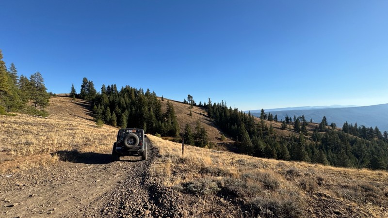
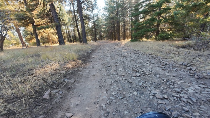
Traveled down from NS1712. The NS1711 is steep and loose gravel into the lower section along the hill side where the road surface becomes more level with gravel surface. Fantastic views from the top ...

John Kapelski
Official Crew
No Rating
Open
Visited: 09/19/2026
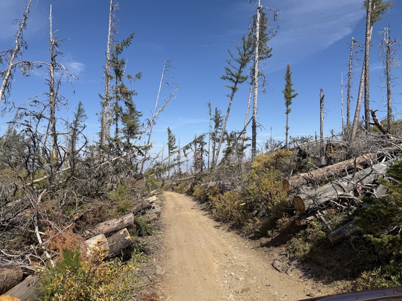
I drove this trail from the Wenatchee side all the way to Table Mountain Road in a Wrangler Rubicon. The Mission Ridge area had a couple of deep washouts on a narrow section of the road that were slo...
TS
Tom Stephens
Rated 4/5
Open
Visited: 09/13/2026
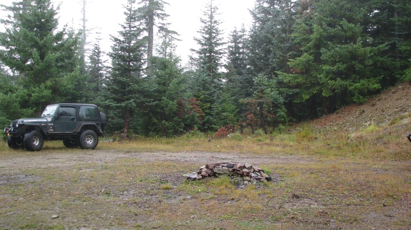
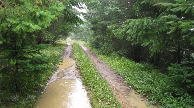
Easy hill climb to three very nice camp sites. Enclosed tree branches will provide compilatory light pinstriping and a mirror adjustment. First camp provides the most room for a group. Small trailer f...
John Kapelski
Official Crew
Rated 4/5
Open
Visited: 09/13/2026
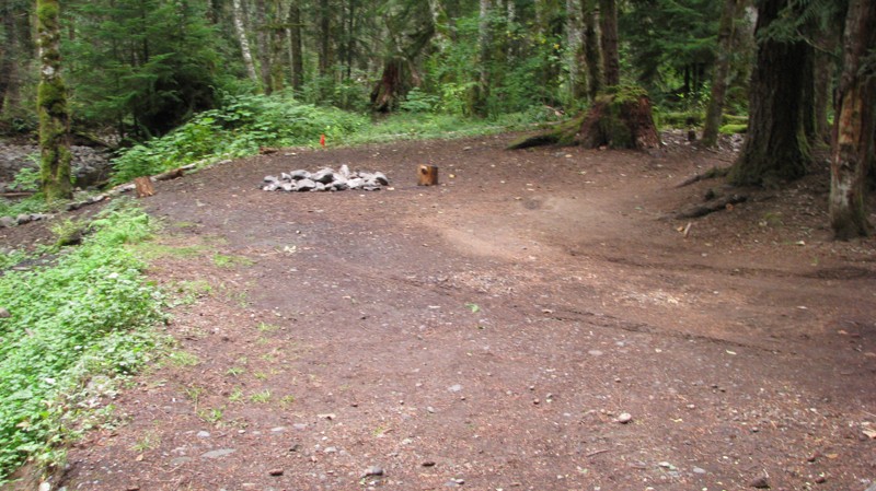
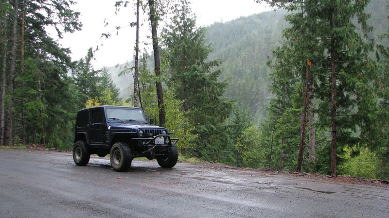
Short and sweet, Midnight Creek is an enjoyable drive through the forest at lower elevations. A dense canopy provides plenty of cool shade while the lush vegetation and abundant mountain runoff showca...
John Kapelski
Official Crew
Rated 5/5
Open
Visited: 09/13/2026
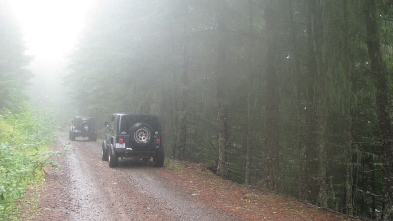
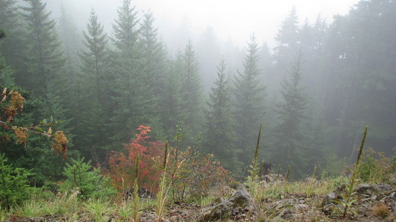
What a gem of a road! Even beneath the clouds, the route offers beautiful scenery, with early fall colors beginning to emerge and mist drifting through the surrounding mountains and forest of moss cov...
John Kapelski
Official Crew
Rated 1/5
Open
Visited: 09/13/2026
Total snooze fest. The most interesting part of the trail was when I ensured the gun was loaded driving past some local tweakers. Nothing to see here, much like the rest of the BOH trails in the PNW.
Francis whitney
Rated 3/5
Open
Visited: 09/09/2026
Beach access is easy and just about any vehicle can drive on the hard packed sand. A very important part that is not mentioned on the trail description is that driving on beach dunes is prohibited. Al...
Bill
Rated 5/5
Open
Visited: 09/07/2026
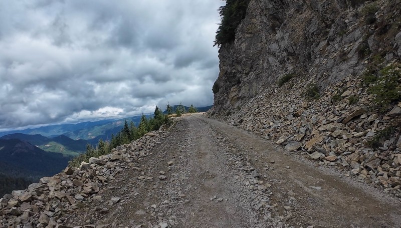
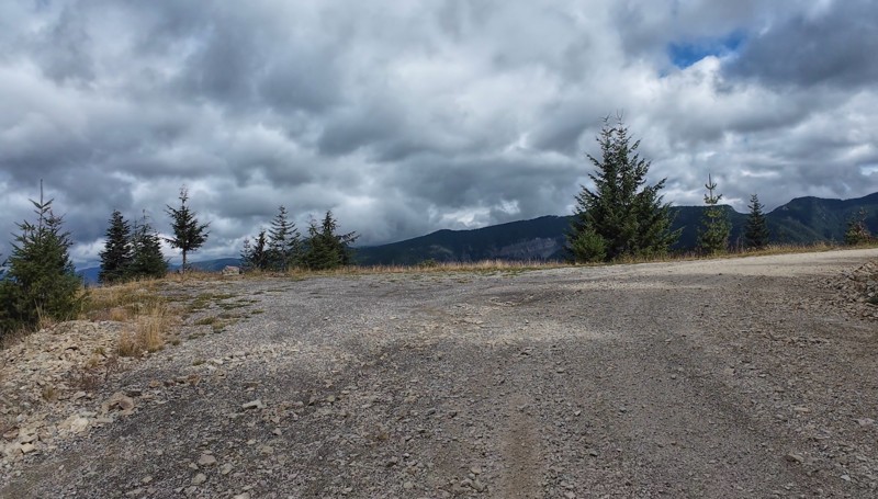
Very cool trail with multiple large campsites along the creek’s at the lower sections. Generally easy road surface with washboard areas.
John Kapelski
Official Crew
Rated 5/5
Open
Visited: 09/07/2026
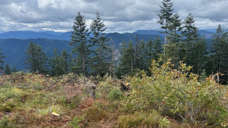
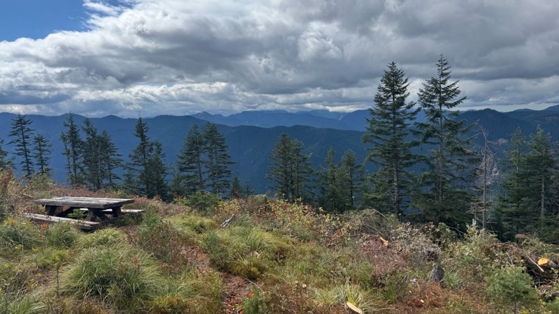
Road is easy and steep. Nice views thought the trees on the way up. Fabulous 360 degree views from the top. Cloudy days was not disappointing!
John Kapelski
Official Crew
No Rating
Open
Visited: 09/05/2026
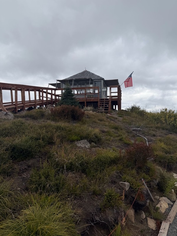
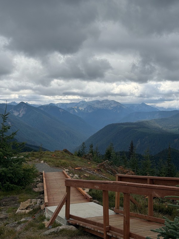
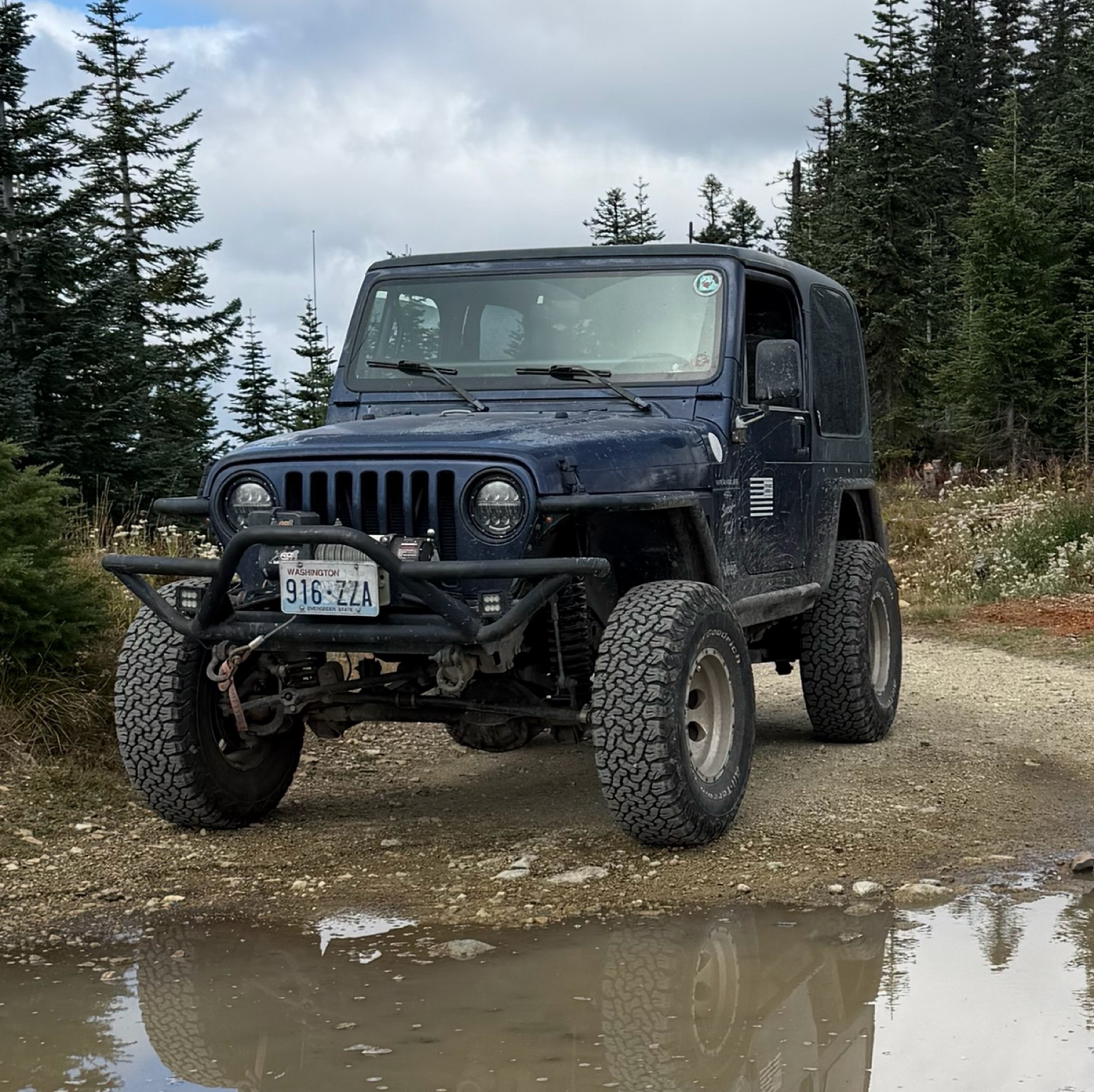
Difficult rating was spot on. Did the whole trail in 2 wheel drive. Grate views at the top
Austin Kapelski
Rated 4/5
Open
Visited: 09/05/2026
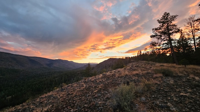
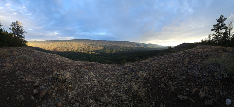
Nice quick camping trip, the campsite at the end of the road is still gorgeous, and sunsets are still pretty. the walk up to the actual devil's table is about a mile one way and 400' up, but nice view...
Ryan Wallace
Official Crew
No Rating
Seasonal Closure
Visited: 09/01/2026
According to this trails management agency, the trail is likely closed for the season.
You can reach out to the agency for more details.
Be sure to leave us a report and let us know ...

Trails Offroad
Official Crew
Rated 5/5
Open
Visited: 08/29/2026
Fun track with two people who have done this before and two, who haven't, a couple of nice waterfalls, and a good mix for everyone.
TW
Timothy Watson
No Rating
Partially Open
Visited: 08/29/2026
Tried access from North Wenas Highway at waypoint 8. Gate was posted with No Public Access. I would imagine waypoint 7 is the same as it appears to be private land???? Was not able to find access to w...
John Kapelski
Official Crew
Rated 5/5
Open
Visited: 08/28/2026
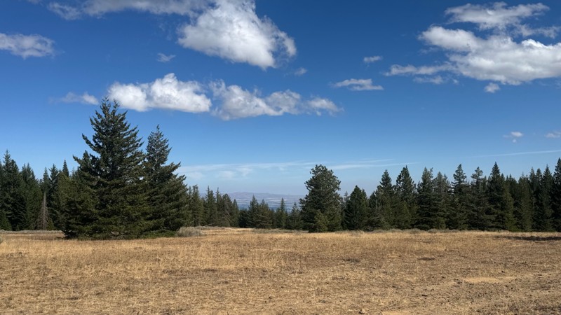
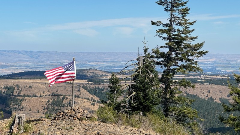
Continued from Rocky Flat,FS1701, down to Manastash Road. About 80% of the trail is down hill and never disappoints on the fun scale. More challenging that the 1701 and great views of the South Fork M...
John Kapelski
Official Crew
No Rating
Open
Visited: 08/28/2026
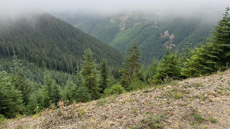
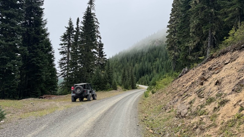
A great alternative to the Pyramid Pass route. Great camping looking over to Naches Trail
John Kapelski
Official Crew
Rated 5/5
Open
Visited: 08/28/2026
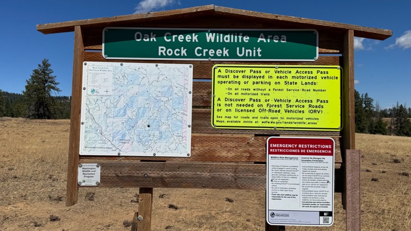
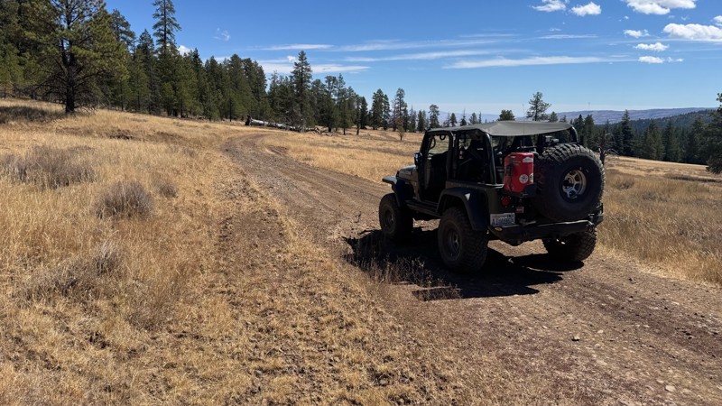
Nice dive up to waypoint 6 at five corners. Not as smooth as the initial incline but very scenic with great views to the west and east.
John Kapelski
Official Crew
No Rating
Open
Visited: 08/28/2026
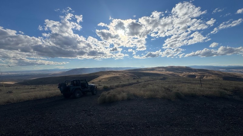
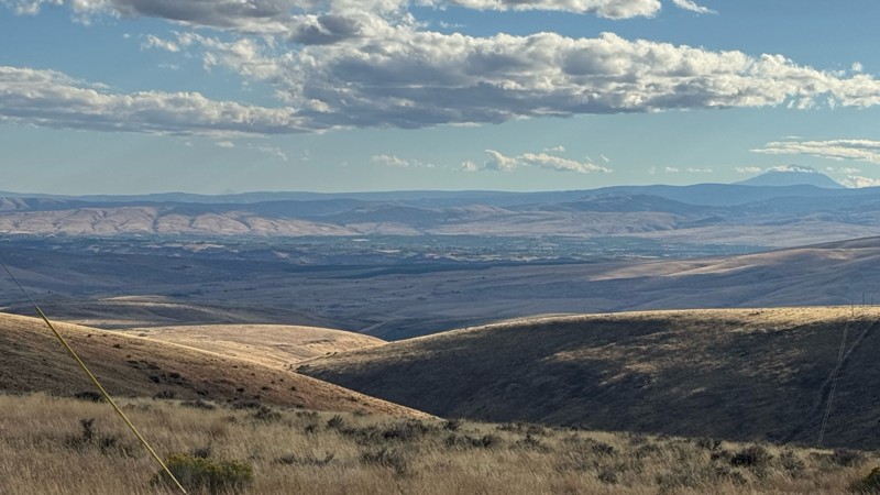
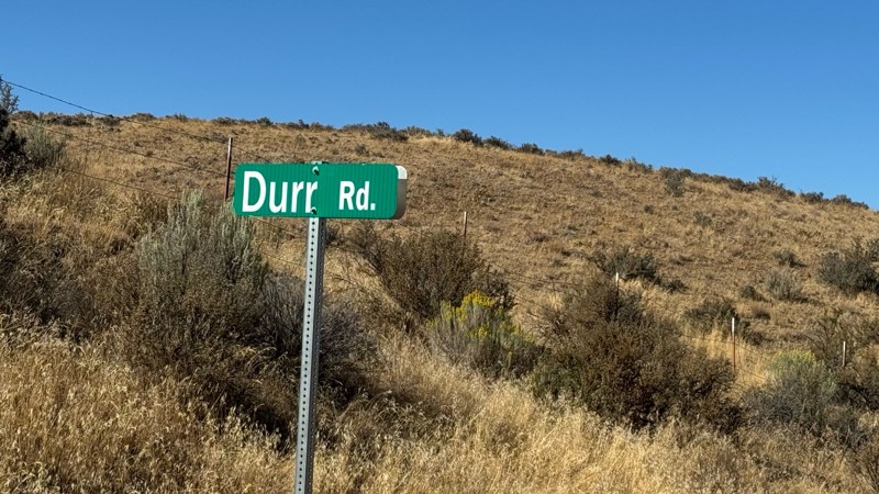
Connection area to Durr Rd and Old Durr Rd along with other trails is a bit confusing as there are “short cuts” to the same road. Umtanum Ridge is ruff. The high point is next to the towers with fant...
John Kapelski
Official Crew
No Rating
Open
Visited: 08/28/2026
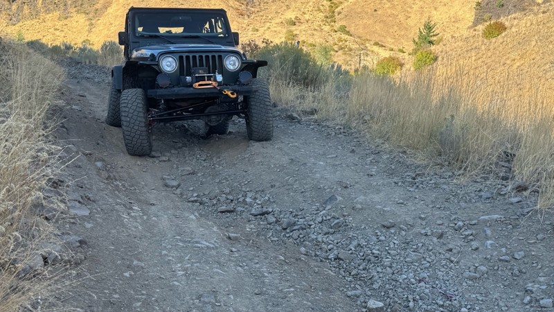
I drive this in the reverse direction of publish. Started out wide and smooth gravel surface than turned into a ruff narrow shelf road with limited places to pass. Best camping was at waypoint 3 by th...
John Kapelski
Official Crew
Rated 4/5
Open
Visited: 08/28/2026
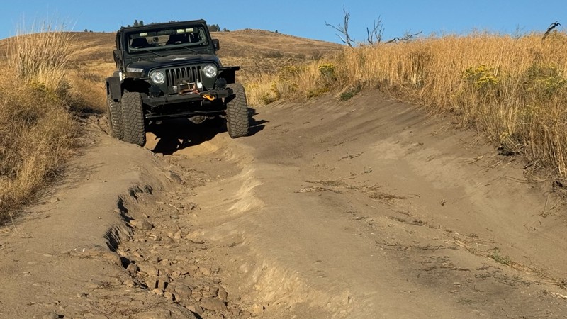
Waypoint 4-5 has changed due to water run off by exposing more rock face and creating deep ruts.
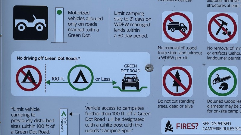
Large flat campsite next to waypoint 4, go straight before making the turn. It is the only site that ...
John Kapelski
Official Crew
Rated 4/5
Open
Visited: 08/28/2026
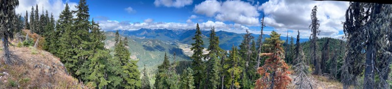
Incredible view on top! Unfortunately saw a group packing up camp on our way up and on our return down they had left lots of trash and a fire still burning during extreme fire danger and burn ban! We ...
J
Jason
Rated 4/5
Open
Visited: 08/20/2026
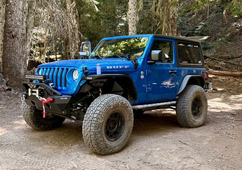
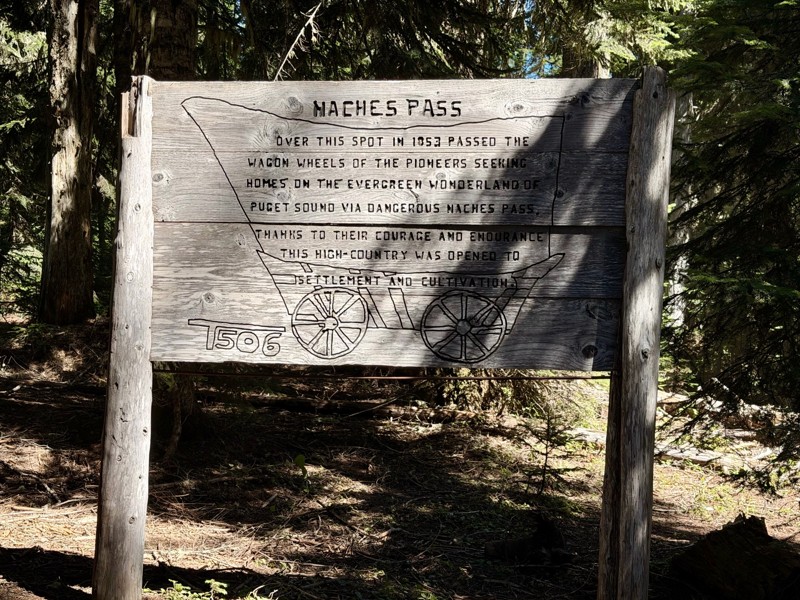
The trail is in great shape minus the section where the bridge is down. Ran into 1 other vehicle a SxS going east we were headed west. At the PCT cabin we talked to 4 through hikers refueling themselv...
CD
Carl Duester
No Rating
Open
Visited: 08/20/2026
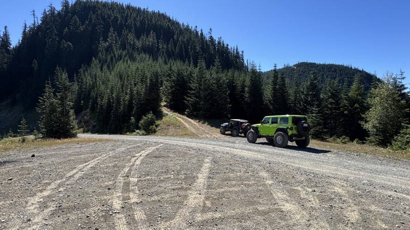
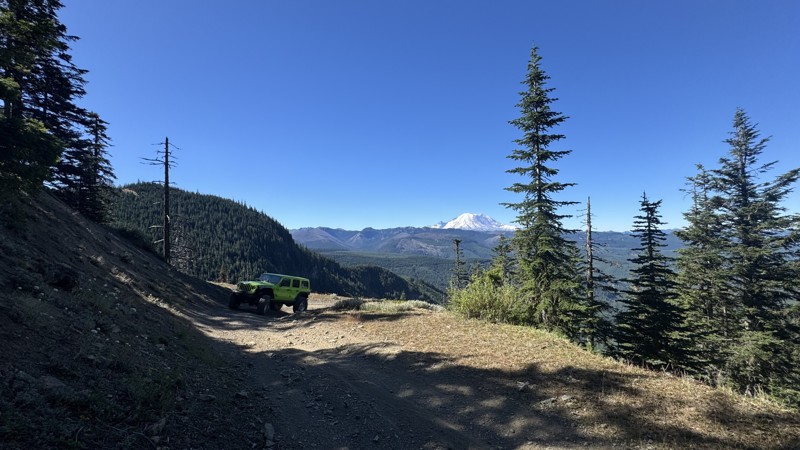
This road system offers continuous views of Mount Rainier to the south while climbing toward the rugged peaks of the northern Cascade Range. This short, enjoyable trail is well worth the few extra mi...
John Kapelski
Official Crew
Rated 3/5
Open
Visited: 08/17/2026
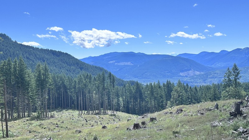
5 Road is exactly that a dirt road. Any 2WD vehicle can easily negotiate this trail. This trail is trailer friendly, but some of the tight turns are not suitable for longer trailers/campers. There are...

Eric Gartin
Official Crew
Rated 5/5
Open
Visited: 08/16/2026
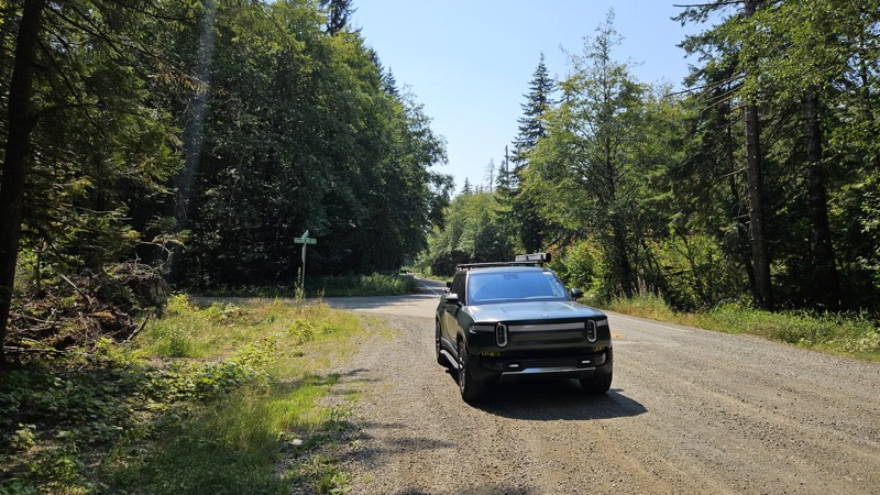
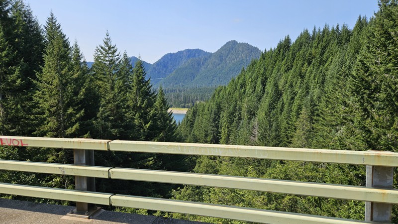
Our trip around the Wynoochee Loop was a mix of incredible scenery and some pretty technical driving. Traveling counterclockwise, we really felt the challenge starting on the final climb to the peak. ...
Ryan Wallace
Official Crew
Rated 5/5
Open
Visited: 08/15/2026
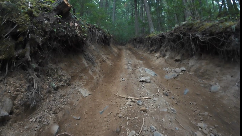
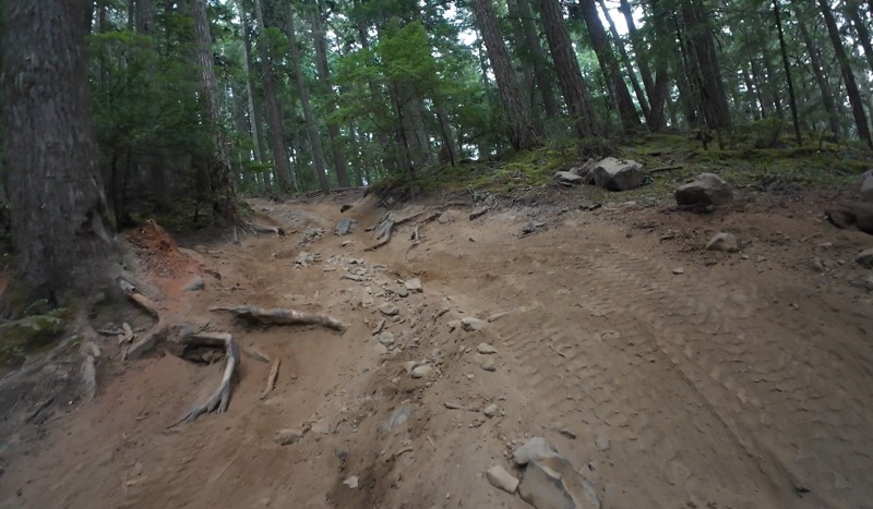
Wonderful day!!!!! Meet a two fellas doing their first trail ever. Shame on me for getting more photos. They had a BLAST!!!!! Hope to see them again.
John Kapelski
Official Crew
No Rating
Open
Visited: 08/11/2026
Per the MVUM, the trail is seasonally open. As always, check current fire restrictions/closures before venturing out.
Trails Offroad
Official Crew
No Rating
Open
Visited: 08/11/2026
Per the MVUM, the trail is seasonally open. As always, check current fire restrictions/closures before venturing out.
Trails Offroad
Official Crew
No Rating
Open
Visited: 08/11/2026
Per the MVUM, the trail is seasonally open. As always, check current fire restrictions/closures before venturing out.
Trails Offroad
Official Crew
No Rating
Open
Visited: 08/11/2026
Per the MVUM, the trail is seasonally open. As always, check current fire restrictions/closures before venturing out.
Trails Offroad
Official Crew
No Rating
Open
Visited: 08/11/2026
Per the MVUM, the trail is seasonally open. As always, check current fire restrictions/closures before venturing out.
Trails Offroad
Official Crew
No Rating
Open
Visited: 08/11/2026
Per the MVUM, the trail is seasonally open. As always, check current fire restrictions/closures before venturing out.
Trails Offroad
Official Crew
No Rating
Open
Visited: 08/11/2026
Per the MVUM, the trail is seasonally open. As always, check current fire restrictions/closures before venturing out.
Trails Offroad
Official Crew
No Rating
Open
Visited: 08/11/2026
Per the MVUM, the trail is seasonally open. As always, check current fire restrictions/closures before venturing out.
Trails Offroad
Official Crew
No Rating
Open
Visited: 08/11/2026
Per the MVUM, the trail is seasonally open. As always, check current fire restrictions/closures before venturing out.

Todd
Official Crew
No Rating
Open
Visited: 08/11/2026
Per the MVUM, the trail is seasonally open. As always, check current fire restrictions/closures before venturing out.
Todd
Official Crew
No Rating
Open
Visited: 08/11/2026
Per the MVUM, the trail is seasonally open. As always, check current fire restrictions/closures before venturing out.
Todd
Official Crew
No Rating
Open
Visited: 08/11/2026
Per the MVUM, the trail is seasonally open. As always, check current fire restrictions/closures before venturing out.
Todd
Official Crew
No Rating
Open
Visited: 08/11/2026
Per the MVUM, the trail is seasonally open. As always, check current fire restrictions/closures before venturing out.
Todd
Official Crew
No Rating
Open
Visited: 08/11/2026
Per the MVUM, the trail is seasonally open. As always, check current fire restrictions/closures before venturing out.
Todd
Official Crew
No Rating
Open
Visited: 08/11/2026
Per the MVUM, the trail is seasonally open. As always, check current fire restrictions/closures before venturing out.
Todd
Official Crew
No Rating
Open
Visited: 08/11/2026
Per the MVUM, the trail is seasonally open. As always, check current fire restrictions/closures before venturing out.
Todd
Official Crew
No Rating
Open
Visited: 08/11/2026
Per the MVUM, the trail is seasonally open. As always, check current fire restrictions/closures before venturing out.
Todd
Official Crew
Todd
Official Crew
Todd
Official Crew
No Rating
Temporary Closure
Visited: 08/11/2026
Closed due to the Sinlahekin fire.
Todd
Official Crew
No Rating
Open
Visited: 08/11/2026
Per the MVUM, the trail is seasonally open. As always, check current fire restrictions/closures before venturing out.
Trails Offroad
Official Crew
No Rating
Open
Visited: 08/11/2026
Per the MVUM, the trail is seasonally open. As always, check current fire restrictions/closures before venturing out.
Trails Offroad
Official Crew
Most Popular

Updated: 10/01/2025
B-5000
Delphi, Washington
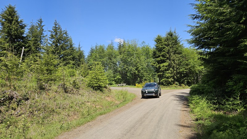
B-5000 is a short, gravel connector road running roughly north-south between B-Line and an intersection of C-4000/C-4700. It's a peaceful wooded drive, with only a few spur roads off to the sides and no trail accesses.
Capitol State Forest can have active logging operations, so be sure to pay attention and watch for heavy machinery and trucks while exploring the forest. There is no dispersed camping allowed in Capitol State Forest; the only camping permitted within the forest is in official campgrounds, so please ensure that you have a plan for that if you need a place to stay for the night.
Capitol State Forest is an 11,000-acre forest packed with roads and trails and specific opportunities for recreational purposes. Please see https://www.dnr.wa.gov/Capitol for up-to-date info and closures relating to this location and any restrictions on activities.
Updated: 08/11/2026
Collar
Longmire, Washington
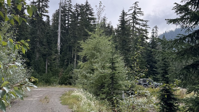
Collar is a short, out-and-back spur off Horse Creek, tucked just south of Mount Rainier National Park. The narrow single-vehicle track winds through dense forest on coarse gravel, but years of water erosion have carved deep ruts into the surface, demanding slow, careful navigation. Pinstripes are almost unavoidable here, and the soft shoulders make this route unsuitable for vehicles wider than 74 inches or those carrying bulky roof or side-mounted gear. The trail ends at a roomy, flat campsite perched with excellent views, making the squeeze worthwhile.
Seasonal access to this road depends on FS 52 “Skate Creek,” which closes due to snow. Check with the Cowlitz Valley Ranger District at (360) 497-1100 for current conditions before planning a trip.
Updated: 11/19/2024
Mid Beaver
Ruby, Washington
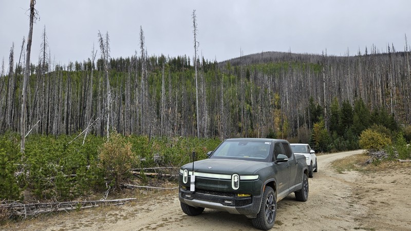
Traveling through large burn scars from 2015, Mid Beaver is a spur loop off Starvation Mountain primarily used to access the Beaver Lake hiking trail. Although easy and mostly hard-packed soil, the burned deadfall and regenerating forest have created tight squeezes through thick brush along this trail, virtually guaranteeing some pin-stripping in your vehicle's paint. On your way up or down from Starvation Mountain, take a quick detour and check out Mid Beaver, where you have a distinct possibility of encountering cattle.
Along this road, two or three campsites are available, and pullouts are common enough to make meeting someone coming in the other direction manageable.
Updated: 01/05/2026
FS 2160
Smith Place, Washington
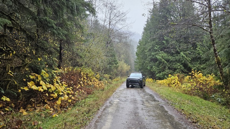
Forest Road 2160 in the Olympic National Forest is an out-and-back gravel and dirt road that follows a narrow forested drainage, with numerous creeks and small waterfalls crossing or paralleling the road.
The drive includes several small pull-offs suitable for dispersed camping, and the surrounding terrain is steep and heavily wooded. Portions of the road pass through areas of recent logging, which can leave the surface muddy or rutted until it settles.
FS-2160 is prone to blowdowns and washouts, and access may be limited depending on seasonal conditions or storm impacts.
Updated: 10/01/2025
D-1500
Porter, Washington
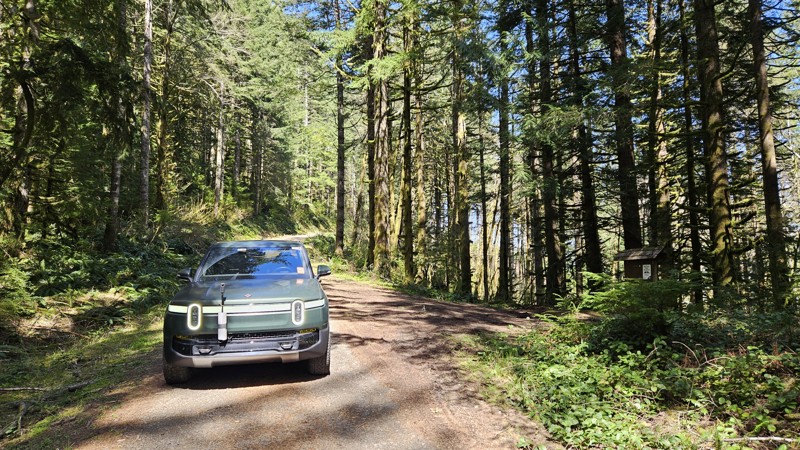
D-1500 is a mostly dirt road in Capitol State Forest that branches off from D-1000, providing access to the Fuzzy Top Trailhead. The road is narrow and winding, with sections that may be challenging for larger vehicles. The road connects with the Fuzzy Top Trailhead, a short 0.7-mile hiker-only trail that offers a quick ascent to a viewpoint.
Capitol State Forest can have active logging operations, so be sure to pay attention and watch for heavy machinery and trucks while exploring the forest. There is no dispersed camping allowed in Capitol State Forest; the only camping permitted within the forest is in official campgrounds, so please ensure that you have a plan for that if you need a place to stay for the night.
Capitol State Forest is an 11,000-acre forest packed with roads and trails and specific opportunities for recreational purposes. Please see https://www.dnr.wa.gov/Capitol for up-to-date info and closures relating to this location and any restrictions on activities.
Updated: 06/10/2026
Peter Burns Road
Big Lake, Washington
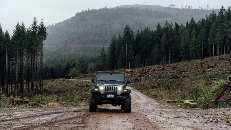
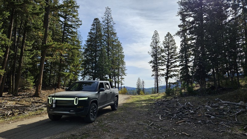
Peter Burns Road is a graded, hard-packed service road that provides access to the Walker Valley ORV Park and plenty of great off-road trails near Mount Vernon, Washington. The road is riddled with potholes and is often traveled by ATVs, UTVs, dirt bikes, and other full-size 4X4 vehicles. Keep an eye out for other drivers. The road once extended all the way to Lake Cavanaugh Road, but due to land disputes, it now ends in a 3.5-mile dead end at the south end of the ORV area. The staging area on the north end offers plenty of space for trucks and trailers.
Walker Valley ORV is comprised of 3,200 acres, with twelve 4X4 trails, and many more ATV and dirt bike trails. The trails offer many challenges like rocks, roots, and ruts. These obstacles will change from season to season, with the addition of snow and rain, which can also produce large puddles and muddy stretches. From the mild to wild, Walker Valley ORV provides something for everyone.
Updated: 11/06/2024
Cougar Creek Road
Loomis, Washington
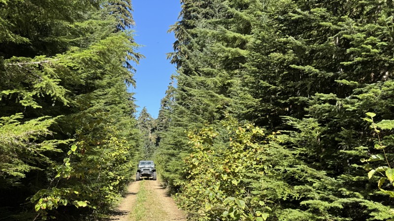
Cougar Creek is a 3-mile stint that descends off the Skull and Crossbones ridge to the Toats Coulee Road. It's a well-maintained dirt and gravel road with a single pull-off suitable for a campsite near the north end.
The road runs through active timber harvesting and cattle grazing areas, so users should pay close attention to large trucks and cows on the road or passing their camp.
Cougar Creek is part of section 6 (Conconully to Canada Border) of the Washington Backcountry Discovery Route (WABDR), a scenic 575-mile mostly offroad route from the Oregon state line to the Canadian border.
Updated: 10/09/2025
Peanut
Packwood, Washington
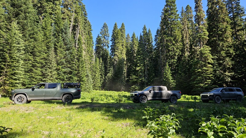
Tucked deep in the forest at the edge of the Goat Rocks Wilderness, Peanut Trail (4840) is a peaceful out-and-back route that delivers the kind of quiet seclusion only a dense mountain forest can provide. The road winds through tall evergreens so tightly packed that it often feels like driving through a green-walled canyon. The gravel surface is smooth and easy to navigate, with only occasional puddles or soft patches to slow your pace. Near its end, the trail climbs along a narrow ridge where steep drop-offs hide just beyond the trees, rewarding those who take a moment to explore with glimpses of the surrounding wilderness. The route concludes at a large, tree-enclosed clearing perfect for dispersed camping, with three faint footpaths leading farther into the woods. While sweeping views are limited by the canopy, the solitude and stillness here more than make up for it. This easy drive is suitable for any stock, high-clearance 2WD vehicle and requires no prior off-road experience, making it an ideal escape for anyone looking to unwind in the heart of the forest.
Updated: 09/10/2026
Forest Lake NFD410
Snoquera, Washington
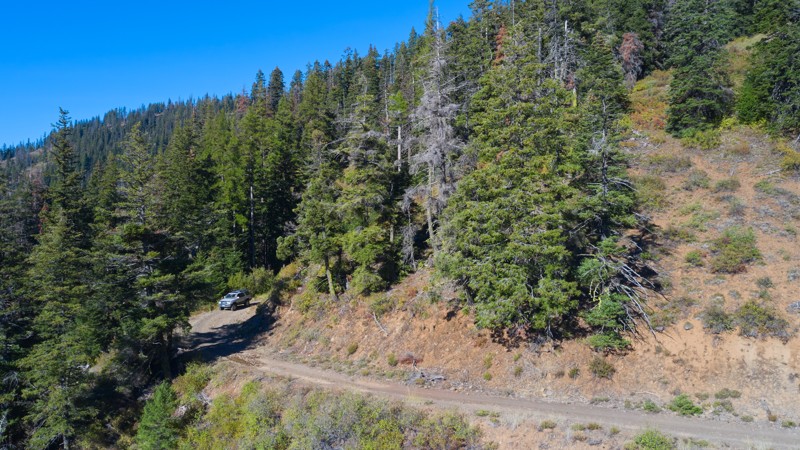
Forest Lake NFD410 is a short, dead-end jaunt off of Forest Lake NFD7222. It offers a connection to NFD510 and a campsite at the end. The trail is buried pretty well in the trees, so you won't find many views, but it is a peaceful spot to hang out for a while.
You will find one intersection with the Noble Knob hiking trail right by the Y intersection with 510, but there isn't anything that seems obvious, and there are no viable parking spots, so you might have to improvise if you wish to start your hike here.
Updated: 08/11/2026
Table Spring
Kooskooskie, Washington
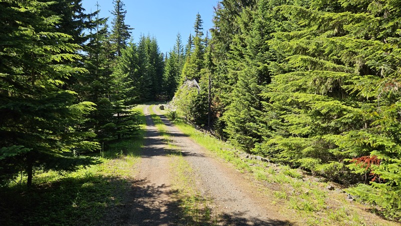
Forest Road 6512 is a peaceful and easy 6.5-mile out-and-back trail tucked inside the Umatilla National Forest. Much of the road winds through dense conifer forest, making it a welcome retreat on hot, dry summer days thanks to the cool shade overhead.
From time to time, the trees open up to reveal wide western vistas stretching across the valley, rewarding travelers with sweeping views that contrast beautifully with the otherwise enclosed woodland feel.
In several sections, snowbrush pushes close against the narrow track. While this can lead to a bit of paint pin-striping, the downside is softened by the strong, pleasant fragrance that fills the air. Campsites are limited along the road. Most of the good pull-outs for tents or vehicles are located near the trail’s start and end points.
The trail itself is straightforward and non-technical, making it accessible to most drivers, but its narrow profile does mean passing opportunities are few and far between. All in all, Forest Road 6512 is a quiet, shaded escape into the Umatilla, with a mix of forest seclusion and valley views that make it well worth exploring.
Updated: 09/10/2026
Forest Ridge
Snoquera, Washington
Forest Ridge is a super short offshoot from FS7222 that leads to a campsite. The trail is a soft forest road with very little gravel until you get to the campsite at the end. Here, you will find ample level ground and space for quite a few vehicles and ground tents.
Updated: 11/07/2025
Purcell Creek
Packwood, Washington
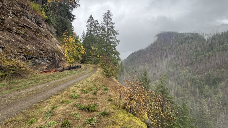
Purcell Creek begins as a wide gravel road winding through an old burn scar, where blackened trunks stand like quiet monuments among the recovering forest. As the miles roll by, the surface narrows and changes in character, with mud and decomposing forest debris blending into the gravel to form soft, uneven stretches broken by patches of exposed rock.
The first campsite appears near the intersection with Lava Creek, with additional camping spots found both before and after the Bluff Spur. Beyond this point, the road becomes a narrow shelf road that hugs the hillside, offering steep drop-offs into the valley below. Occasional wide pullouts on the uphill side allow for passing, though full-size vehicles may collect light pinstriping from the brush that closes in along the upper sections.
The trail eventually ends at a washout where travel continues only on foot. The turnaround area at the terminus is large enough for four full-size trucks to maneuver with care. From the exposed shelf sections along the way, sweeping views of Coal Creek Canyon open up below. Whether bathed in sunlight or veiled in mist, the canyon’s scale and solitude offer a powerful reminder of the wilderness this road explores.
Updated: 08/11/2025
Stump Bypass
Cougar Valley, Washington
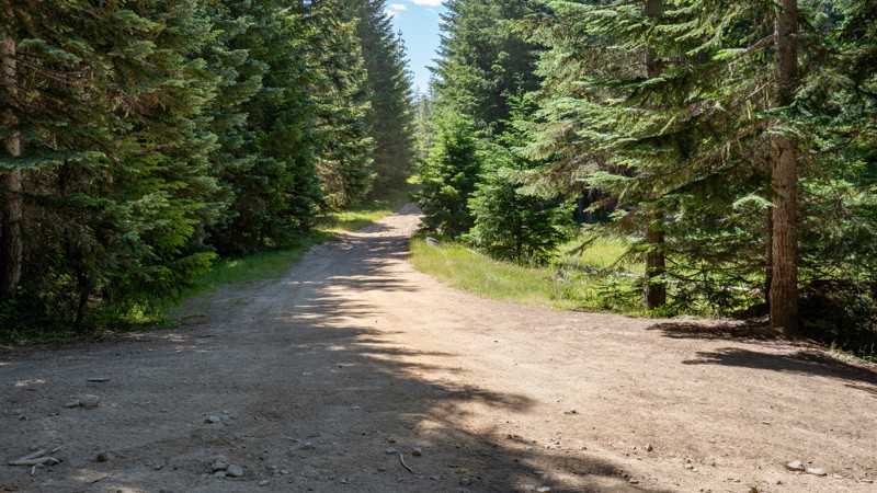
Forest Road 7068, is an easy dirt road primarily used as a bypass or bailout route to the toughest section of the Naches Trail, allowing users to bypass the Stump obstacle completely. This parallel road snakes through dense pines along a hard-packed dirt surface with small protruding rocks, shallow erosion ruts, and occasional potholes. There are a few moderately steep climbs, but it is suitable for any high clearance vehicle, and 4WD is likely unnecessary in dry conditions.
A few dispersed campsites can be found along the trail, suitable for one or two vehicles and ground tents.
Updated: 08/11/2026
Divide
Longmire, Washington
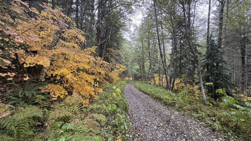
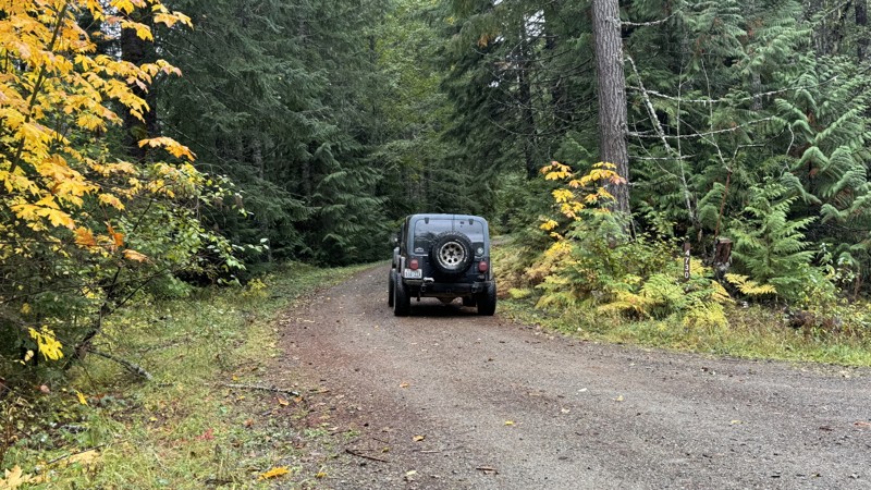
Divide is a straight-through connector road linking Forest Roads 52 and 84. The road follows a gentle grade composed of well-compacted gravel. During autumn, the golden foliage creates a vivid contrast against the surrounding evergreens, and intermittent warm air pockets lift mist from the cooler, low-lying areas. The drive is relaxed and scenic, offering a tranquil environment for a visit to the forest.
Approximately halfway through the trail, a notable campsite is located near the junction with Road 5240-049, which has been blocked to through traffic. The site occupies an open clearing with a secluded rear area and lies close enough to Skate Creek for the sound of flowing water to be heard.
Updated: 11/07/2025
Willame Lake
Packwood, Washington
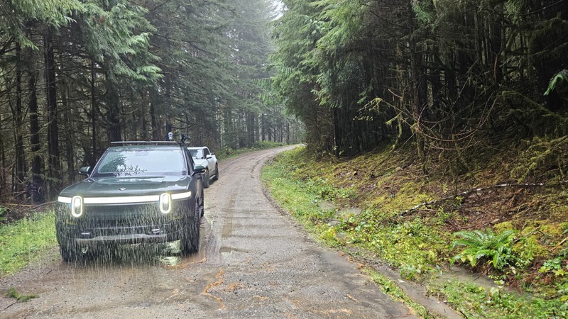
William Lake is an out-and-back road that ascends to an elevation of approximately 4,260 feet, offering expansive views of the northeast to southeast mountain ranges. The route consists primarily of an easy gravel road with several campsites located along its upper sections. At its end, the road opens into a large, unexposed area protected by trees on the southwest and west sides, providing shelter from prevailing winds. From this point, a short and uncomplicated scramble leads to the peak, which offers panoramic 360-degree views. The relaxing stroll can be made via an abandoned road that follows the ridge northward. To the northeast, portions of Long Road (#4740) are visible across the ravine.
William Lake connects with the Hood Berry loop, which descends through a canyon and follows the natural ridgeline before rejoining Forest Road 47. Turning left on FR 47 provides additional route options, including access to Highway 12 and the town of Randle, Washington via FS 63. The western end of FR 47 terminates at East Fork Silver Creek, where the bridge has been washed out. Turning right returns travelers toward Skate Creek Road and Packwood, Washington.
Updated: 11/20/2025
FS 2180
Smith Place, Washington
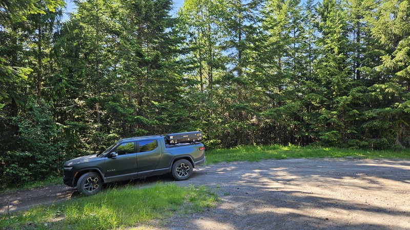
Forest Road 2180 in the Olympic National Forest begins as a gravel route with several stretches of older pavement mixed in. This quick out and back road crosses a series of small creeks and drainages, offering frequent views of flowing water and occasional waterfalls tucked between the trees.
The surrounding forest is a mix of evergreens and deciduous species, creating a varied canopy that shifts noticeably with the seasons. Several small pull-offs suitable for camping can be found along the drive, and a larger camping area sits at the end of the road.
Overall, FS-2180 is a quiet forest road with consistent scenery and easy access to water features throughout its length.
Updated: 09/10/2026
Forest Spring
Snoquera, Washington
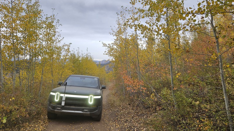
Forest Spring is a short connecting road that makes for a really peaceful drive through the woods, offering one or two suitable campsites. The soft dirt road makes for a really smooth and quiet drive.
Updated: 11/06/2024
West Fork Buzzard Lake Road
Ruby, Washington
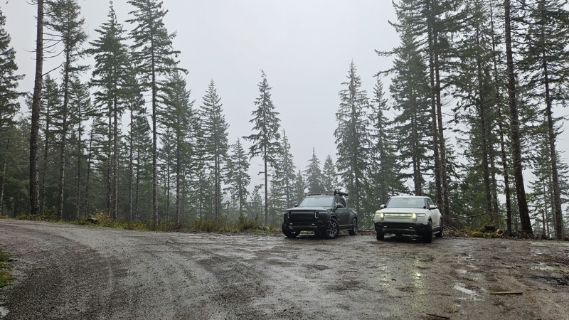
West Fork Buzzard Lake Road is a short, rough road that travels past four listed mine sites. The Arlington mine is the only mine with any remaining evidence of activity, though it is now used as a cattle grazing and gathering area with a water trough placed near the former mine. First Chance Mine, Last Thought Mine, and Fourth of July Mine are listed on maps, but there is no evidence of them on the ground. Although the road is suitable for a high-clearance 2WD, the dust and loose rock will make 4WD a better option if available. The largest camping spot along the road is right by the Arlington Mine, and cows share the space for part of the year and leave evidence of their presence year-round. After the Fourth of July Mine, the road continues south as Buzzard Lake Road.
Updated: 11/20/2025
FS 2170
Smith Place, Washington
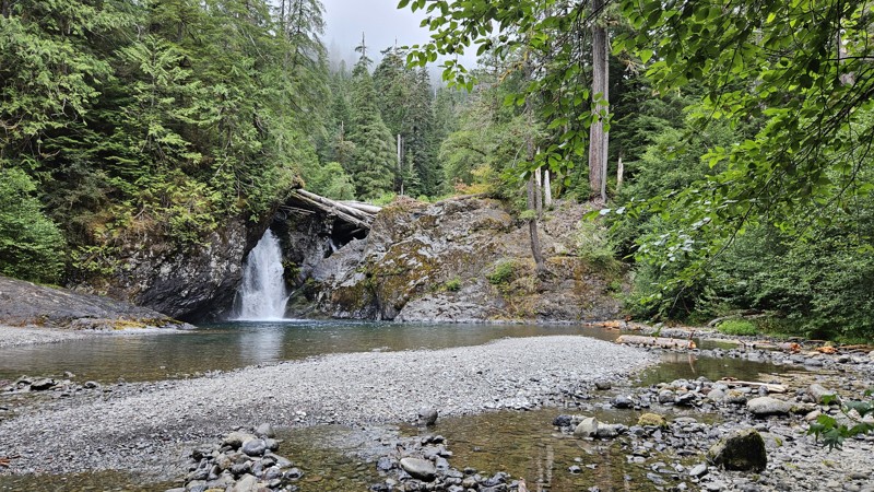
Forest Road 2170 in the Olympic National Forest is an easy, well-maintained gravel road that gradually climbs through a densely forested drainage.
Its condition is typically quite good, likely influenced at times by nearby or recent logging activity. The route passes numerous small creeks and seasonal waterfalls that cross under or run parallel to the road, adding plenty of scenic variety.
A handful of small pull-offs along the way offer opportunities for dispersed camping. The road ends at a gate, where a larger open area provides space likely used as an informal base camp during hunting season.
Updated: 08/31/2026
Wynoochee Loop
Grisdale, Washington
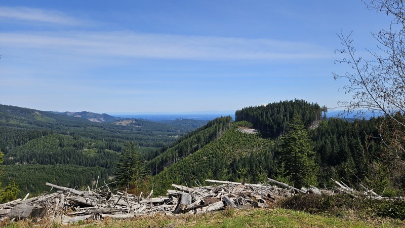
Wynoochee Loop Road (FS-2270) is a popular route featuring extensive dispersed camping, with notable sites located on the spur road to the boat launch and near the Maidenhair Falls trailhead. Additional camping options are distributed throughout the entirety of the loop. The road provides access to several hiking trailheads, including Wynoochee Pass, Wynoochee Lake Shore Trail, and short trails to Maidenhair Falls and Wynoochee Falls. Numerous waterfalls are visible from the roadway, and the route includes multiple access points for swimming.
The northwestern portion of the road includes technical sections where rockslides have resulted in narrow, off-camber conditions with steep drop-offs. The final ascent to the peak is characterized by a steep, loose, and narrow climb. Due to these conditions and traction requirements, 4WD is highly recommended for the full loop, as 2WD vehicles may struggle even in dry conditions.
Updated: 10/01/2025
D-1510
Bordeaux, Washington
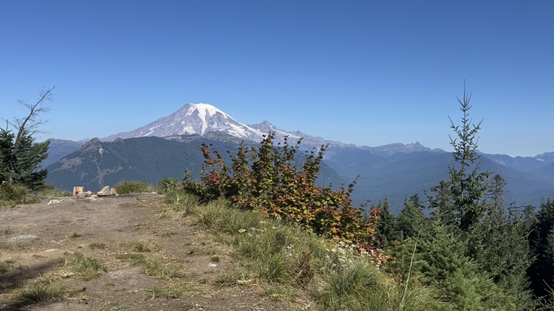
D-1510 is a tiny dirt road that takes you to the back side of Fuzzy Top Mountain. There is no access to the hiking trail from this road, and while the road does technically continue, the logical end to this road is a larger section with a campfire ring and an unofficial dirt backstop that has been used as a short firing range. If you continue past the fire ring, the road deteriorates quickly, and high clearance with a good approach/departure angle will be needed to get you turned around.
Capitol State Forest can have active logging operations, so be sure to pay attention and watch for heavy machinery and trucks while exploring the forest. There is no dispersed camping allowed in Capitol State Forest; the only camping permitted within the forest is in official campgrounds, so please ensure that you have a plan for that if you need a place to stay for the night.
Capitol State Forest is an 11,000-acre forest packed with roads and trails and specific opportunities for recreational purposes. Please see https://www.dnr.wa.gov/Capitol for up-to-date info and closures relating to this location and any restrictions on activities.
Updated: 10/09/2025
Line
Packwood, Washington
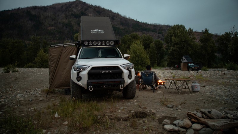
At just over half a mile in length, this short spur road provides access to three distinct campsites, accommodating between two and five vehicles. The first site sits beside Art Lake, a clear, reflective body of water surrounded by trees, with a small access point suitable for launching a kayak. The second site is larger and flatter, offering seclusion with forest cover and parking space for vehicles in front. The third and largest site is situated at the end of the spur, forming a wide circle with trees at its center. This can accommodate up to 5 rigs with a smaller area to expansive views. From this vantage point, the Cowlitz River Valley can be seen to the northwest, Mount Rainier to the north, and Packwood Lake through the trees of the Goat Rocks Wilderness to the south. Between the trees to the southwest, the peak of Peanut Road and cliffs descending into Art Lake are also visible. Maps indicate that a mine is located on the Goat Rocks Wilderness side near this site.
Updated: 01/05/2026
Bostonman CG
Driftwood Acres, Washington
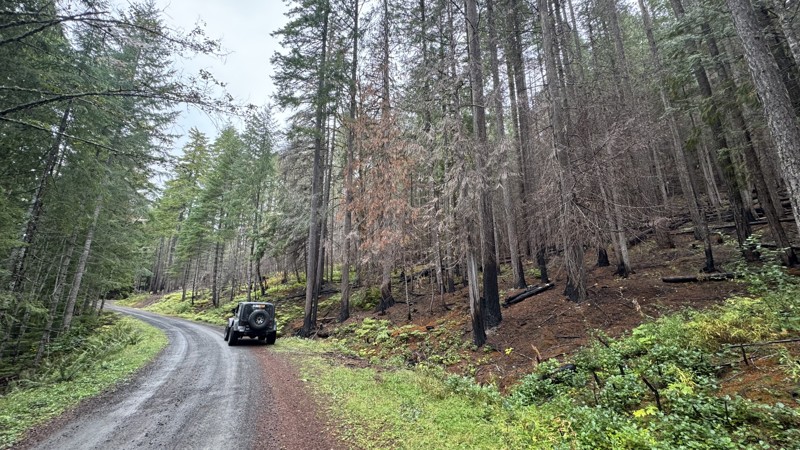
Located on the north side of Cle Elum Lake, Forest Road 111, also known as Bostonman CG on some Forest Service maps, is a short, primitive camping spur along the Cle Elum River across from the Cle Elum River Campground. Although easy, a high clearance vehicle will be needed to traverse this road, as it is peppered with softball and football-sized river rocks. There are numerous campsites along the river's edge, suitable for groups of any size. The area does get fairly busy in summer, so expect potential crowds. Be sure to bring your river gear, as you can float, swim, or toss in a fishing line.
Updated: 11/07/2025
Bluff
Packwood, Washington
Bluff Road is a well-graded gravel route that climbs steadily through dense forest before ending at the Bluff Lake Trailhead. As the elevation increases, breaks in the canopy reveal sweeping views of the valleys below, offering a peaceful and scenic drive. Along the way, bursts of seasonal color appear where deciduous trees mingle with evergreens, adding a rare contrast for this part of the “Evergreen State.” The road’s smooth surface and gentle grades make it an enjoyable route for most vehicles, with plenty of quiet pullouts for taking in the forest scenery.
No existing campsite can be found along this route, but several nearby roads offer camping options. One campsite is located along the main Bluff route, another near the Purcell and Bluff intersection, and three additional spots close to the junction with Purcell Creek Road #4610.

Upgrade your Membership
Unlock all of the details on every Trail Guide and Scout Route.
Start a 7-day Free TrialBrowse Trails in Washington by City
Browse every Washington city with offroad trail guides.
Community
Partners

