By clicking "ACCEPT", you agree to be the terms and conditions of each policy linked to above. You also agree to the storing of cookies on your device to facilitate the operation and functionality of our site, enhance and customize your user experience, and to analyze how our site is used.
Washington Off-Road Trails
182

1723
Detailed Waypoints Try a Free 7-Day Trial and unlock it all
Start a Free Trial Most Recent Trail Reviews
Rated 5/5
Open
Visited: 11/07/2026
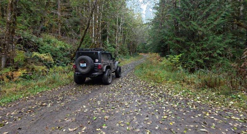
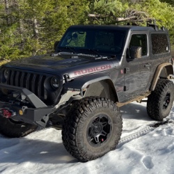
We took Wildcat from FS 74 heading south. So the hill climb was more of a decent. We found a few nice camp spots. The view of Mt Rainier was amazing. A few ruts and a bit rocky.

Christine & Robert Law
Official Crew
Rated 5/5
Open
Visited: 11/07/2026
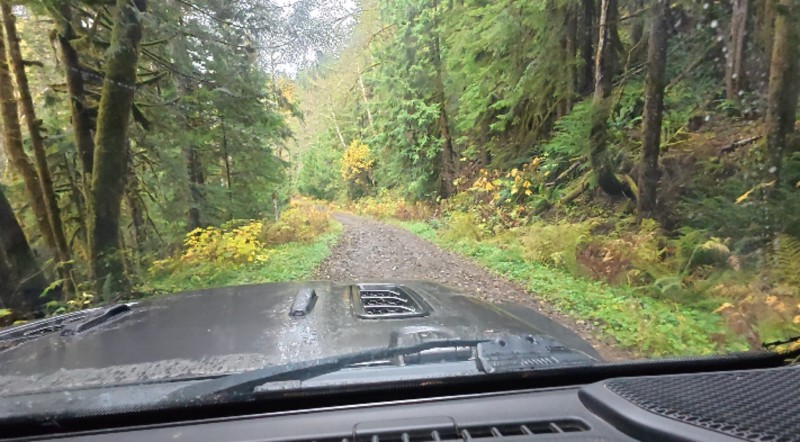
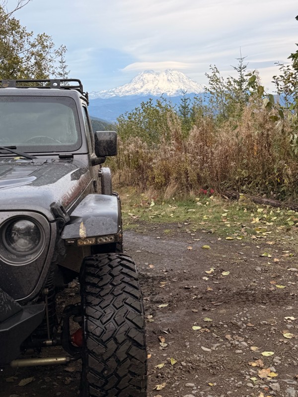
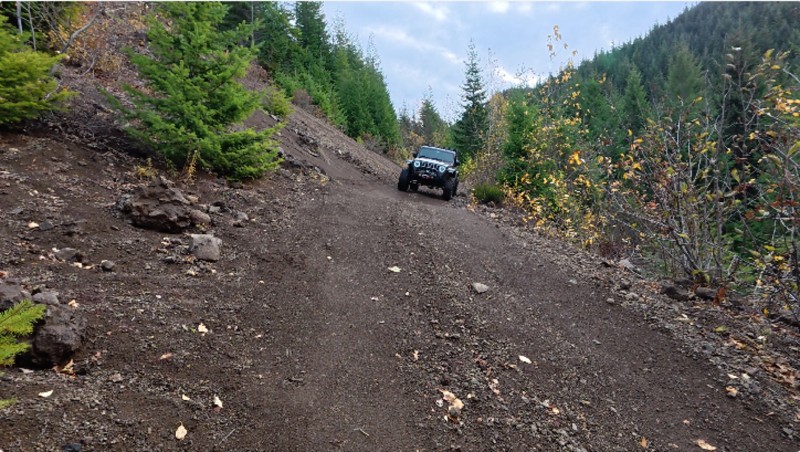
The trail starts out pretty normal. Then the road gets narrow. Great view of Mt St Helens, with Mt Rainier peaking out.
When you get to the wide spot, go to the right. You will come across an ol...
Christine & Robert Law
Official Crew
Rated 5/5
Open
Visited: 11/03/2026
Some light snow above 3000 feet elevation today. Moderate pin stripping for the F-150 Raptor. Trails are a bit narrow.

Bart Meltzer
Rated 5/5
Open
Visited: 11/03/2026
Some light snow above 3000 feet elevation today
Bart Meltzer
Bart Meltzer
Rated 5/5
Open
Visited: 11/03/2026
Getting towards the end of the season for this trail. There was some light snow above 3000 feet elevation.
Bart Meltzer
No Rating
Seasonal Closure
Visited: 11/01/2026
According to this trails management agency, the trail is likely closed for the season.
You can reach out to the agency for more details.
Be sure to leave us a report and let us know ...

Trails Offroad
Official Crew
No Rating
Seasonal Closure
Visited: 11/01/2026
According to this trails management agency, the trail is likely closed for the season.
You can reach out to the agency for more details.
Be sure to leave us a report and let us know ...
Trails Offroad
Official Crew
No Rating
Seasonal Closure
Visited: 11/01/2026
According to this trails management agency, the trail is likely closed for the season.
You can reach out to the agency for more details.
Be sure to leave us a report and let us know ...
Trails Offroad
Official Crew
No Rating
Seasonal Closure
Visited: 11/01/2026
According to this trails management agency, the trail is likely closed for the season.
You can reach out to the agency for more details.
Be sure to leave us a report and let us know ...
Trails Offroad
Official Crew
No Rating
Seasonal Closure
Visited: 11/01/2026
According to this trails management agency, the trail is likely closed for the season.
You can reach out to the agency for more details.
Be sure to leave us a report and let us know ...
Trails Offroad
Official Crew
No Rating
Seasonal Closure
Visited: 11/01/2026
According to this trails management agency, the trail is likely closed for the season.
You can reach out to the agency for more details.
Be sure to leave us a report and let us know ...
Trails Offroad
Official Crew
No Rating
Seasonal Closure
Visited: 11/01/2026
According to this trails management agency, the trail is likely closed for the season.
You can reach out to the agency for more details.
Be sure to leave us a report and let us know ...
Trails Offroad
Official Crew
No Rating
Seasonal Closure
Visited: 11/01/2026
According to this trails management agency, the trail is likely closed for the season.
You can reach out to the agency for more details.
Be sure to leave us a report and let us know ...
Trails Offroad
Official Crew
No Rating
Seasonal Closure
Visited: 11/01/2026
According to this trails management agency, the trail is likely closed for the season.
You can reach out to the agency for more details.
Be sure to leave us a report and let us know ...
Trails Offroad
Official Crew
No Rating
Seasonal Closure
Visited: 11/01/2026
According to this trails management agency, the trail is likely closed for the season.
You can reach out to the agency for more details.
Be sure to leave us a report and let us know ...
Trails Offroad
Official Crew
No Rating
Seasonal Closure
Visited: 10/31/2026
According to this trails management agency, the trail is likely closed for the season.
You can reach out to the agency for more details.
Be sure to leave us a report and let us know ...
Trails Offroad
Official Crew
No Rating
Seasonal Closure
Visited: 10/31/2026
According to this trails management agency, the trail is likely closed for the season.
You can reach out to the agency for more details.
Be sure to leave us a report and let us know ...
Trails Offroad
Official Crew
No Rating
Seasonal Closure
Visited: 10/31/2026
According to this trails management agency, the trail is likely closed for the season.
You can reach out to the agency for more details.
Be sure to leave us a report and let us know ...
Trails Offroad
Official Crew
No Rating
Seasonal Closure
Visited: 10/31/2026
According to this trails management agency, the trail is likely closed for the season.
You can reach out to the agency for more details.
Be sure to leave us a report and let us know ...
Trails Offroad
Official Crew
Rated 5/5
Open
Visited: 10/30/2026
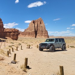
Ran this trail as part of our route from Snoqualmie Pass to Greenwater. There was 6" of snow and cloud/fog that made visibility a challenge. The road was in great shape and snow conditions were good.
Jeff G
Rated 5/5
Open
Visited: 10/30/2026
Did waypoints 1 to 4 with 3 Jeep Wranglers as part of our route from Snoqualmie Pass to Greenwater. Trail was in good shape and views were great as much as the clouds/fog would allow.
Jeff G
Rated 5/5
Open
Visited: 10/30/2026
Did waypoints 7 to 1 in order to complete our run from Snoqualmie Pass to Greenwater. This road was in great shape and there was not any snow below 3,200 feet.
Jeff G
Rated 5/5
Open
Visited: 10/30/2026
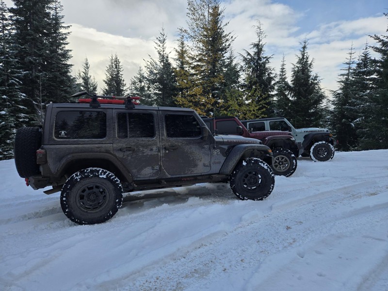
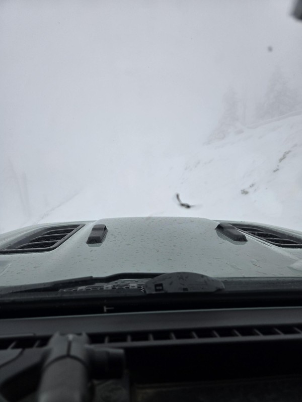
Did Green Pass as part of a trip from Snoqualmie Pass to Greenwater with 3 Jeep Wranglers. There was 6-8" of snow a the top of the pass (5500 ft). Visibility was a real challenge as we were in fog/clo...
Jeff G
Rated 5/5
Open
Visited: 10/30/2026
Ran this trail with a group of 3 Jeep Wrangler Rubicons from Waypoints 1-12 on our way from Stampede Pass to Greenwater. Conditions were fine. Did not get to the washout at waypoint 14.
Jeff G
Rated 5/5
Open
Visited: 10/30/2026
Ran this trail and it was awesome. We started at Snoqualmie Pass and took the trail 1-way on our way to Greenwater (Waypoints 1 to 25). There was snow starting about 3,200 feet. The accumulation at 3,...
Jeff G
Rated 5/5
Open
Visited: 10/28/2026
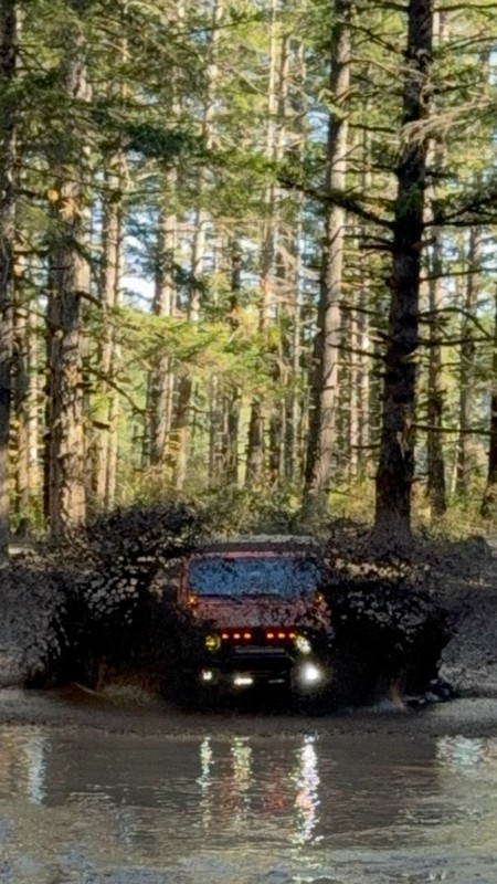
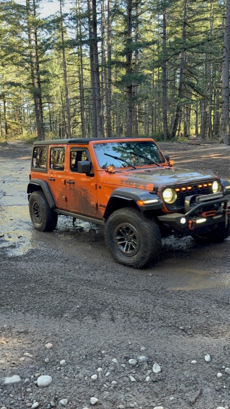
FUN! Pretty easy and this trail is very much like a choose your own adventure book 😂 the puddle/bog at the bottom of Broken Axil hill is a great place the “get a little mud on the tires”

Michael Descala
Rated 5/5
Open
Visited: 10/24/2026
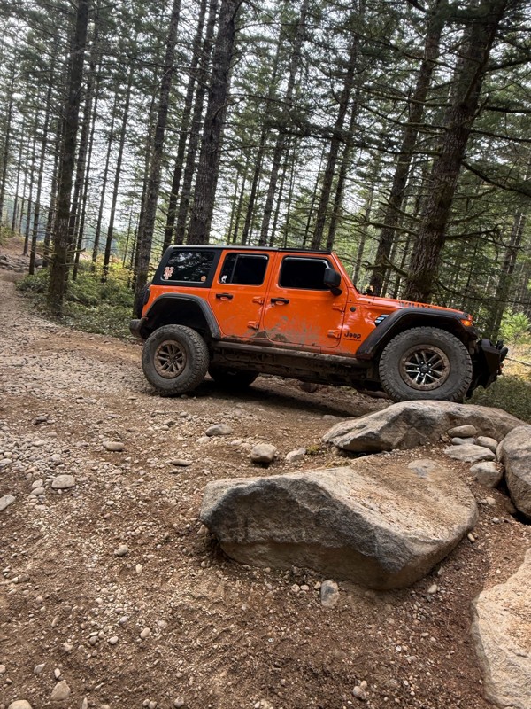
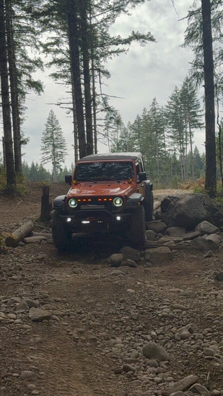
Another fun trail with a lot of man-made obstacles.
Michael Descala
No Rating
Open
Visited: 10/24/2026
The first 3 or 4 checkpoints are very difficult. Not impossible but you need to go slow and plot out your angle of attack. The person who used the excavator here was very creative and left some very d...
Michael Descala
Rated 2/5
Open
Visited: 10/06/2026
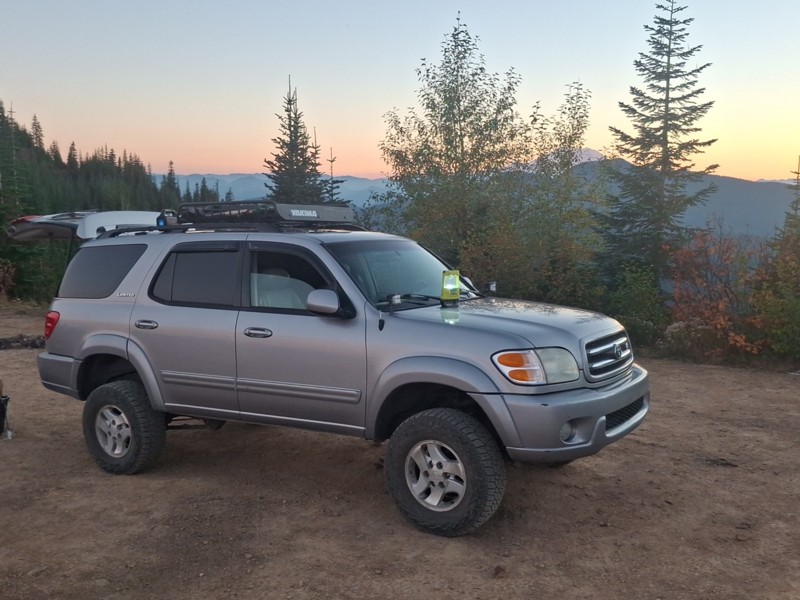
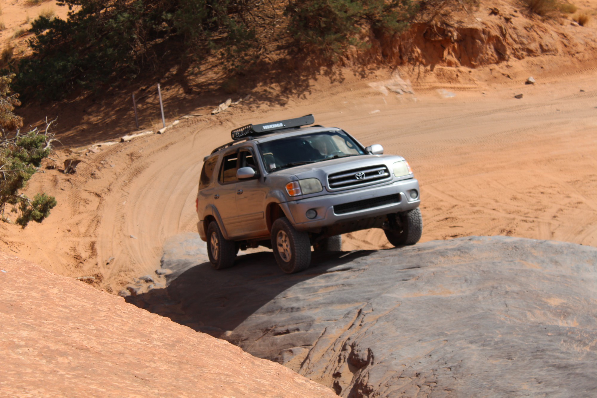
I thought it was super easy. Level 2.
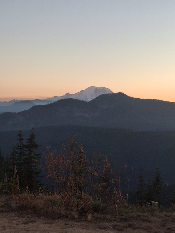
The views are awesome. there's two OFF camber spots . I did not use 4wd on my way up. I did use 4wd low the way down to save the use of the brakes.
Gabe Carper
Open
Visited: 10/03/2026
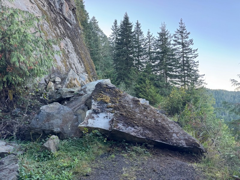
Trail is blocked by a massive rock fallen from the cliff above just after the 011 turn off.
BK
Bryan Kelly
No Rating
Partially Open
Visited: 10/02/2026
Drove north-south from 25-Mile Park on Lake Chelan on Shady Pass Road, then veer left on to FR8410 (Slide Ridge Road) past Pot Peak TH, then switchbacks up Slide Ridge Road (reaches 5500ft) with magni...
SD
Steve Danishek
No Rating
Open
Visited: 10/01/2026
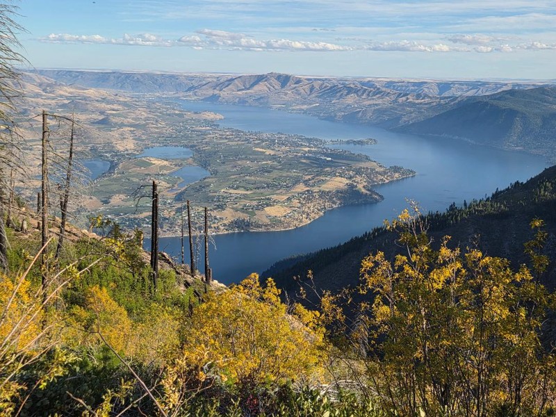
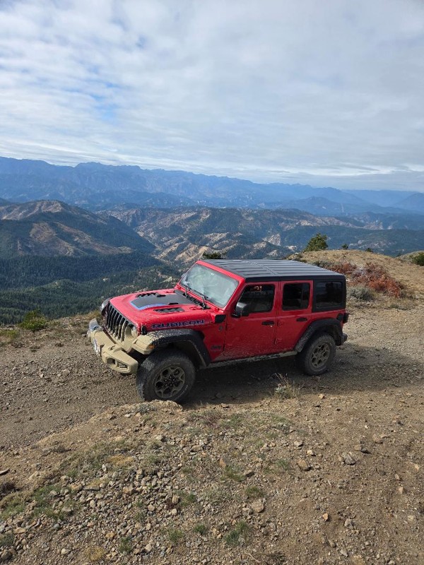
Drove from Cashmere up Nahanum Canyon Road to connect with Entiat Summit Road first to Chumstick Mountain (sharp left turn to top is unmarked) then on to French Corral, right and right again to get on...
SD
Steve Danishek
No Rating
Seasonal Closure
Visited: 10/01/2026
According to this trails management agency, the trail is likely closed for the season.
You can reach out to the agency for more details.
Be sure to leave us a report and let us know ...
Trails Offroad
Official Crew
No Rating
Seasonal Closure
Visited: 10/01/2026
According to this trails management agency, the trail is likely closed for the season.
You can reach out to the agency for more details.
Be sure to leave us a report and let us know ...
Trails Offroad
Official Crew
No Rating
Seasonal Closure
Visited: 09/30/2026
According to this trails management agency, the trail is likely closed for the season.
You can reach out to the agency for more details.
Be sure to leave us a report and let us know ...
Trails Offroad
Official Crew
Rated 3/5
Open
Visited: 09/27/2026
Definitely harder than listed. A red for sure. Optional lines might even be a black.
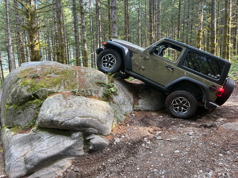
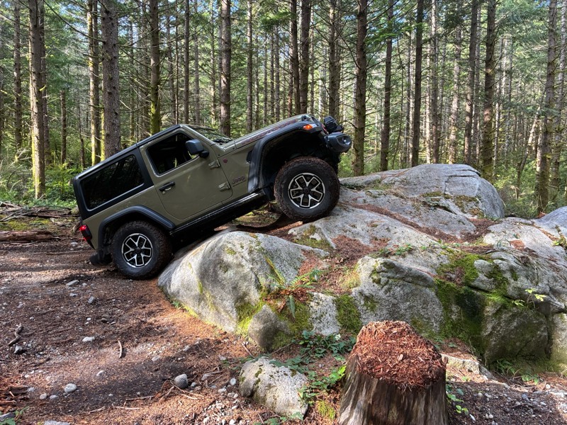
Richard Goins
Rated 5/5
Open
Visited: 09/26/2026
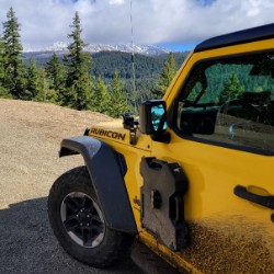
Earned some new scrapes on my undercarriage and a dent at the end of my exhaust pipe, success! West side of the trail was damp and some mud. Started at the Stump hill, aired down + lockers and scooted...
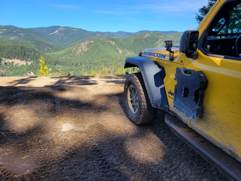
Jason H Martin
Rated 4/5
Open
Visited: 09/23/2026
The first 16 miles pass through private lands. The fun starts after that as you enter the National Forest land. There are several old logging roads that get little use and can be moderately difficult ...
JT
John Torstenbo
Rated 5/5
Open
Visited: 09/20/2026
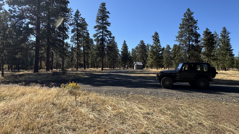
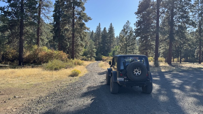
The hill climb is not particularly difficult, although the soft, deeply rutted surface near the beginning can make careful tire placement a bit challenging. The route provides a peaceful drive through...
John Kapelski
Official Crew
Rated 5/5
Open
Visited: 09/20/2026
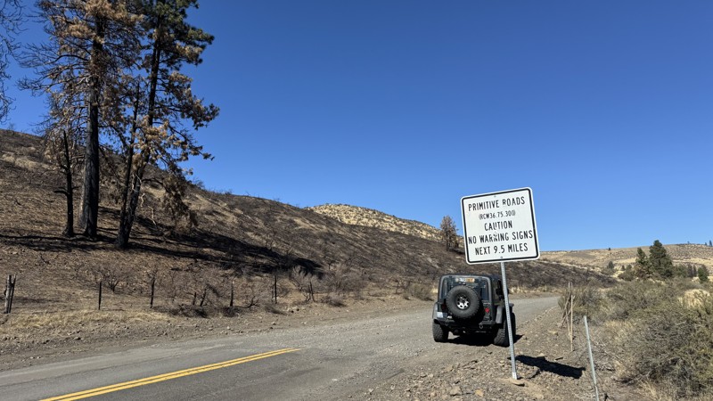
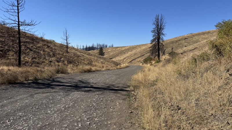
From North Wenas Road, the route begins as a wide, loose-gravel road with several long stretches of shade that provide relief from the summer heat. Along the route is the Umtanum Falls Trailhead, wher...
John Kapelski
Official Crew
Rated 5/5
Open
Visited: 09/20/2026
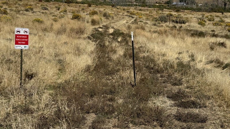
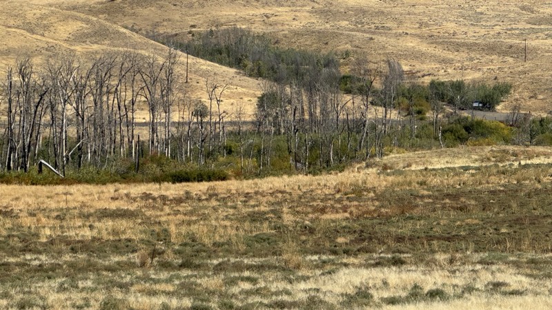
Trail is open in full. The eastern end has been rerouted since the prior publication of this trail.
John Kapelski
Official Crew
Rated 5/5
Open
Visited: 09/20/2026
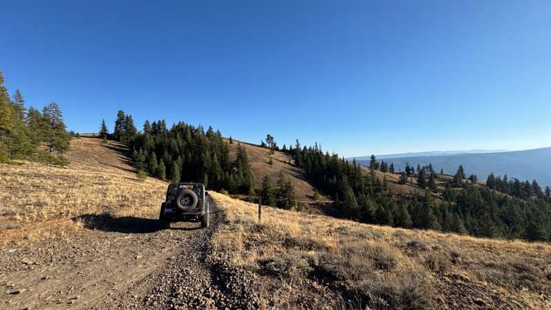
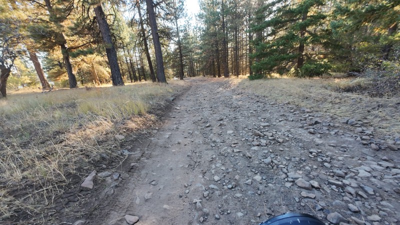
Traveled down from NS1712. The NS1711 is steep and loose gravel into the lower section along the hill side where the road surface becomes more level with gravel surface. Fantastic views from the top ...
John Kapelski
Official Crew
Rated 5/5
Open
Visited: 09/19/2026
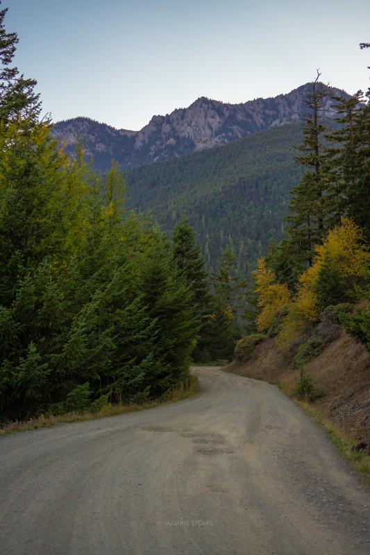
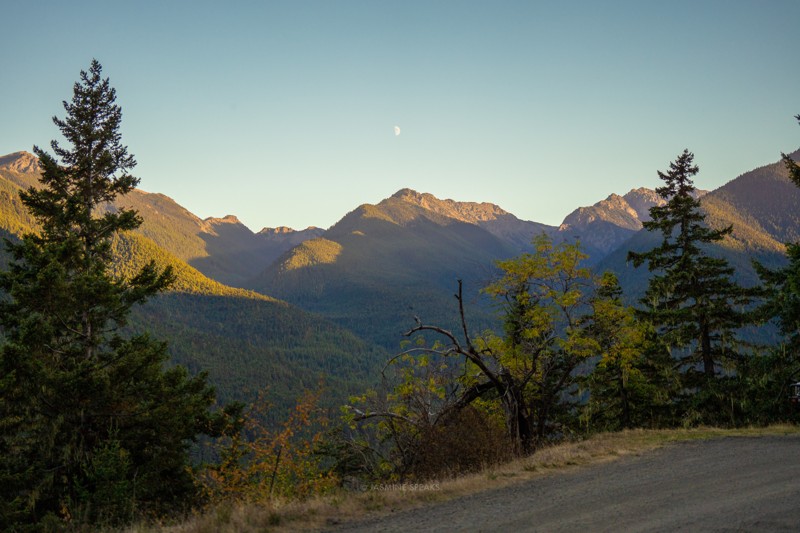
Drove up the mountain to go hiking. The potholes were pretty bad this year throughout.

Jasmine & Jon Hughes
Official Crew
Jasmine & Jon Hughes
Official Crew
Jasmine & Jon Hughes
Official Crew
No Rating
Open
Visited: 09/19/2026
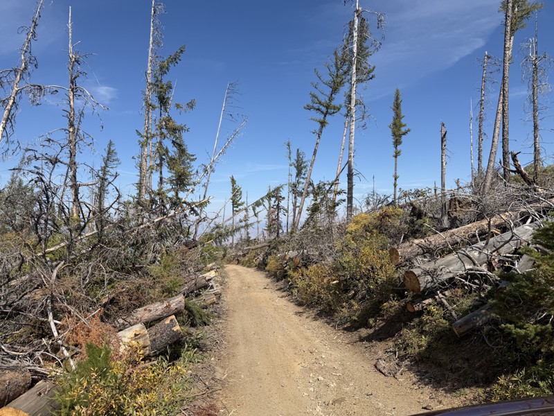
I drove this trail from the Wenatchee side all the way to Table Mountain Road in a Wrangler Rubicon. The Mission Ridge area had a couple of deep washouts on a narrow section of the road that were slo...
TS
Tom Stephens
Rated 4/5
Open
Visited: 09/13/2026
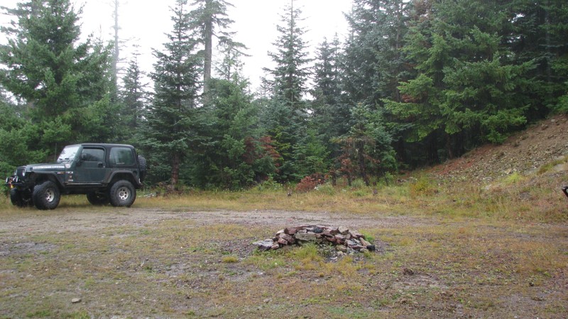
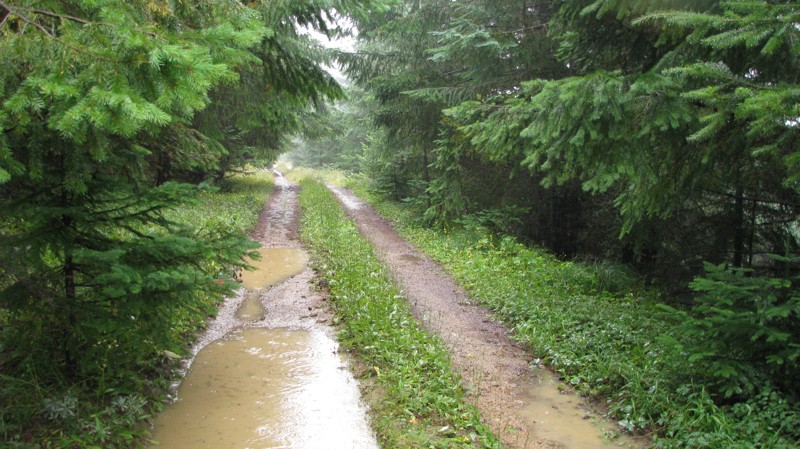
Easy hill climb to three very nice camp sites. Enclosed tree branches will provide compilatory light pinstriping and a mirror adjustment. First camp provides the most room for a group. Small trailer f...
John Kapelski
Official Crew
Most Popular

Updated: 11/07/2025
Lava Basin
Packwood, Washington
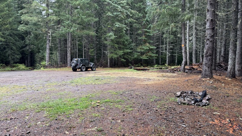
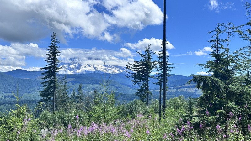
Lava Basin is a short spur branching off Lava Creek #46, offering some of the best dispersed camping opportunities in the area. This secluded route winds quietly through dense evergreens, opening up to a wide, flat clearing perfect for groups or overland setups. A smaller, more private site lies just a bit farther in for those seeking solitude. The approach is mostly easygoing, though one rough and narrow section may challenge stock vehicles or larger rigs. Beyond that point, the trail quickly tightens and becomes impassable despite recent clearing efforts. This is a peaceful destination that creates an ideal spot to set up camp, enjoy the quiet forest, and soak in the cool mountain air. Lava Basin is all about the camping, offering the kind of tucked-away charm that makes it easy to stay longer than planned.
Updated: 09/01/2026
5 Road
Elbe, Washington
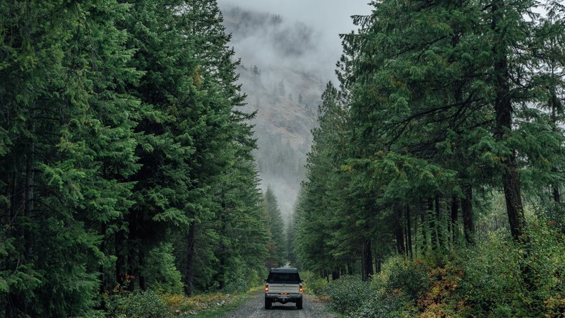
5 Road is a 7 mile point-to-point trail within the Elbe Hills State Forest and gives access to camping and the Elbe Hills OHV area. The trail is a well-maintained forest service road with only small mud holes and no obstacles. There are many hiking and horse trails that cross this road, so take caution while traveling in this area. 5 Road is a seasonal trail and is typically opened from March 15 to September 1.
Updated: 01/15/2026
South Fork Gold Creek
Methow, Washington
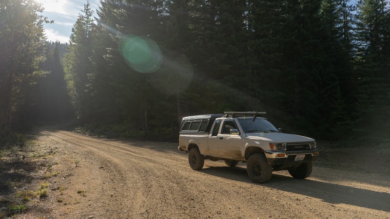
South Fork Gold Creek is a quiet and scenic forest road that winds deep into the Wenatchee National Forest northeast of Chelan, following the namesake creek through a lush valley framed by towering evergreens and misty ridgelines. The well-graded gravel surface makes this route accessible to nearly any high-clearance vehicle, offering an easy but immersive backcountry drive. Occasional potholes, ruts, and washboard sections keep drivers alert, while small pullouts along the way invite exploration or dispersed camping beside the creek. Wildlife sightings are common in the early morning and late evening hours. During wet weather, the shaded forest takes on a moody, Pacific Northwest atmosphere. Whether used as a connection to higher elevation trails or simply a relaxing detour into the woods, South Fork Gold Creek is a quintessential forest road experience. It is peaceful, accessible, and beautifully remote.
Updated: 01/15/2026
N61F Scoop
Trout Lake, Washington
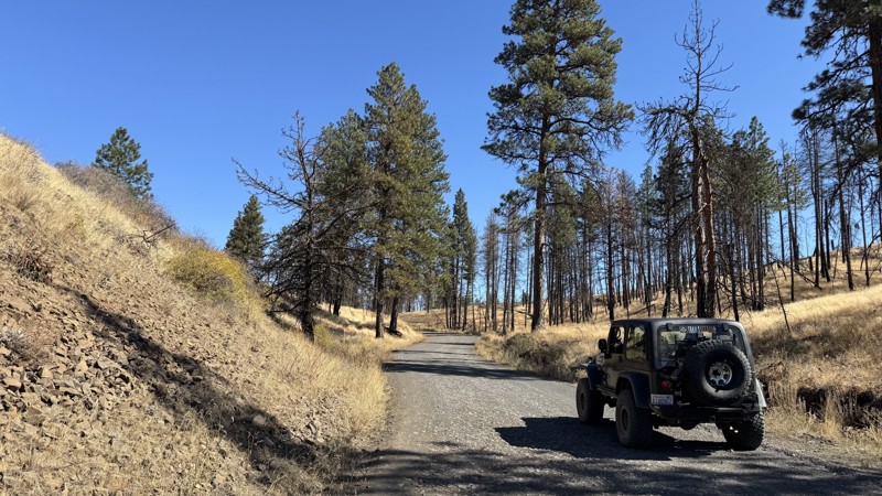
N61F Scoop is a peaceful backcountry connector that winds through the dense evergreen forests of the Gifford Pinchot National Forest near Packwood, Washington. This well-maintained gravel route provides a scenic and easygoing drive beneath towering Douglas fir and hemlock, with filtered sunlight flickering through the canopy and the occasional glimpse of surrounding ridgelines. The road’s gentle grades and wide turns make it accessible for nearly any high-clearance vehicle, though washboard sections and loose gravel are common. Although dispersed camping is allowed in the area, no suitable, previously existing campsites can be found. While not technical, N61F Scoop delivers a classic Pacific Northwest forest-road experience: calm, remote, and immersed in the smell of pine and damp earth, ideal for an easy escape into the woods.
Updated: 10/08/2026
Wenas Road
Wenas, Washington
Connecting Wenas and Ellensburg, Wenas Road is a wide, loose-gravel road with several long stretches of shade that provide relief from the summer heat. Along the route is the Umtanum Falls Trailhead, where parking is available for the approximately 2.5-mile, relatively flat hike along the creek to Umtanum Falls. Rattlesnakes are present in the area, particularly during warmer months.
Beyond the trailhead parking area, the road makes a sharp turn and begins climbing. The road narrows, with a graded hard-packed dirt surface and areas of loose small gravel. Vehicle speed should be kept under control through this section, as the loose surface can cause vehicles to slide, particularly on turns and grades. These conditions continue toward the intersection with Durr Road and the paved section of Umtanum Road.
The upper portion of the route parallels Umtanum Ridge Road. Towers near the intersection of Old Durr Road, Durr Road, and Umtanum Ridge Road are visible to the southeast. On clear days, views to the west and southwest include Mount Rainier and Mount Adams.
Birdhouses can be seen along portions of the road, and the area is commonly visited by birdwatchers, particularly during the spring and early summer.
There is no camping along this road.
Updated: 09/23/2026
Divide Lateral
Greenwater, Washington
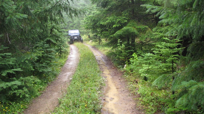
Divide Lateral is a short, dead-end two-track camping spur off Divide Ridge that starts out rough with a rutted and uneven surface before smoothing out as it climbs the hillside. The route transitions to mostly dirt and gravel, with a short rocky section near the hairpin turn. Three dispersed campsites are located along the spur: one near the first bend, another near the final bend, and a third at the top.
The climb is relatively easy, although low-hanging branches and encroaching vegetation make light pinstriping likely and may require folding in or repositioning mirrors. Each campsite offers elevated views over the surrounding valley and mountains, though weather and cloud cover can limit them.
For overland trailers, the first site is the largest and most maneuverable, allowing up to three trailers and rigs to fit here.
Updated: 09/30/2026
Newlands Road
Wenas, Washington
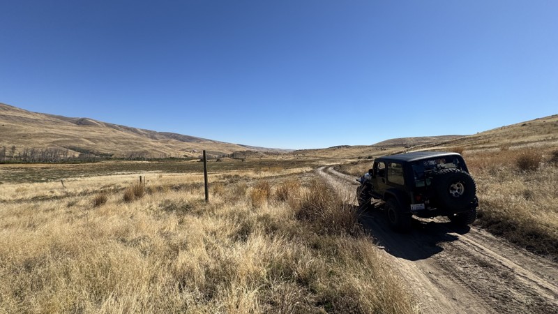
Newlands Road is a backcountry road in the Wenas Wildlife Area of central Washington, northwest of Yakima. It is part of the area's Green Dot road system, meaning motorized travel is restricted to roads specifically marked open for vehicles. Newlands Road cuts across rolling shrub-steppe, offering wide-open scenery and a quiet backcountry feel. The road winds between Cleman Mountain and Umtanum Ridge, passing sage-covered hills, scattered timber, Wenas Creek, and several opportunities to camp along the way. The best campsites can be found at the western end of the trail. Small loose rock, shallow ruts, and occasional climbs add just enough texture to the drive, while its connection between Jones Road and North Wenas Road makes it a useful piece of a longer overland adventure through central Washington.
This trail is part of the Washington Cascade Overland Route. Visit Overlanding Across Washington for more information, including which trails to take next.
Newlands Road is suitable for any high clearance vehicle.
Updated: 09/30/2026
Milk Canyon Road
Wenas, Washington
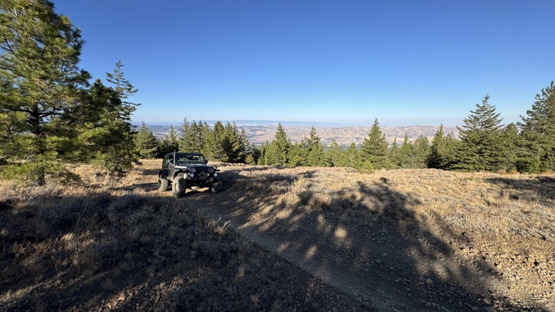
Milk Canyon Road climbs out of BBQ Flats in the Wenas Wildlife Area, northwest of Yakima, trading the sheltered forest around the campground for increasingly open terrain as it works toward Cleman Mountain Ridge. The road is part of Washington’s Green Dot road system, where motorized travel is limited to designated roads, and the surrounding landscape transitions between ponderosa pine, dry shrub-steppe, and broad ridgelines typical of the eastern Cascades.
Despite its relatively short distance, Milk Canyon is a moderate 4x4 climb where the challenge comes less from large rocks and more from steep grades, very soft soil, and deep erosion ruts that can exceed a 16 inches in depth. The lower portion is predominantly loose dirt and sand, then gradually becomes gravelly, finally transitioning to a flatter, rockier surface near the ridge. Careful tire placement is important where the soft edges of the ruts can give way, and low-range four-wheel drive is appropriate for maintaining controlled momentum uphill and managing the descent.
As elevation increases, the trees begin to thin, and the reward becomes the scenery, with increasingly expansive views across the Wenas country and several places to stop and take in the surrounding ridges and valleys. The road eventually reaches the Cleman Mountain Ridge network, making Milk Canyon an appealing way to connect BBQ Flats with higher-elevation Green Dot roads rather than simply seeking technical obstacles. Access is seasonal, and travelers should verify the current gate status before entering the area, as portions of the Cleman Mountain area close during winter and early spring to protect wildlife and vulnerable roads.

Upgrade your Membership
Unlock all of the details on every Trail Guide and Scout Route.
Start a 7-day Free TrialTop Washington Cities for Offroading
Browse Trails in Washington by City
Browse every Washington city with offroad trail guides.
Community
Partners

