
Naches Trail (3.31 miles away)
Snoquera, Washington
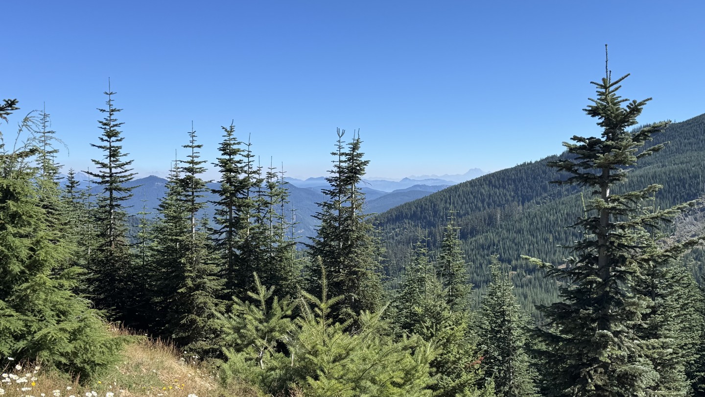

FS 7038110 provides an alternative route around the north side of Pyramid Peak, as opposed to Green Divide (South) to Green Divide/Naches Tie, trading predominantly northerly views for expansive views to the south, southwest, and southeast, including Mount Rainier and the Pyramid Creek Valley toward the Puyallup River Valley.
The western end is the most challenging section, climbing through several switchbacks along a narrow dirt-and-gravel shelf road. The first dispersed campsite is located at the initial switchback, while the fourth switchback marks the most difficult portion of the climb, and then transitions to a predominantly gravel surface. Beyond the switchbacks, the road climbs to a more level traverse around the peak.
Nine dispersed campsites are found throughout the route and along intersecting spurs. Several are located in elevated positions with excellent mountain and valley views.
This road is best suited for a high clearance, 4-wheel drive vehicle. Larger vehicles, those towing overland trailers, or low clearance vehicles may prefer entering and exiting from the east near 47.1240, -121.4012, avoiding the tighter switchbacks of the more challenging western side.

