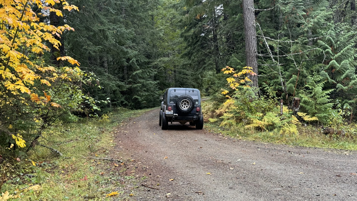
Willame Lake
Every trail guide in full detail for $0.77/week*
- Detailed Waypoints
- Photos and video on the trail
- Comprehensive list of concerns
- Community trail reviews
- PLUS Trails Offroad™ Scout Routes


William Lake is an out-and-back road that ascends to an elevation of approximately 4,260 feet, offering expansive views of the northeast to southeast mountain ranges. The route consists primarily of an easy gravel road with several campsites located along its upper sections. At its end, the road opens into a large, unexposed area protected by trees on the southwest and west sides, providing shelter from prevailing winds. From this point, a short and uncomplicated scramble leads to the peak, which offers panoramic 360-degree views. The relaxing stroll can be made via an abandoned road that follows the ridge northward. To the northeast, portions of Long Road (#4740) are visible across the ravine.
William Lake connects with the Hood Berry loop, which descends through a canyon and follows the natural ridgeline before rejoining Forest Road 47. Turning left on FR 47 provides additional route options, including access to Highway 12 and the town of Randle, Washington via FS 63. The western end of FR 47 terminates at East Fork Silver Creek, where the bridge has been washed out. Turning right returns travelers toward Skate Creek Road and Packwood, Washington.


