


By clicking "ACCEPT", you agree to be the terms and conditions of each policy linked to above. You also agree to the storing of cookies on your device to facilitate the operation and functionality of our site, enhance and customize your user experience, and to analyze how our site is used.
Washington Off-Road Trails
187
Total Trail Guides 183

1735
Detailed Waypoints 156
Try a Free 7-Day Trial and unlock it all
Start a Free Trial Most Recent Trail Reviews
Rated 5/5
Open
Visited: 09/20/2026
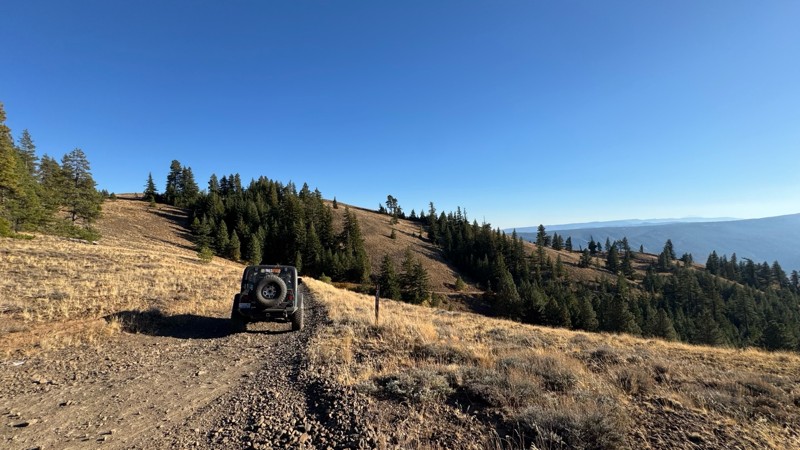
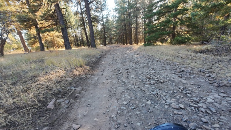
Traveled down from NS1712. The NS1711 is steep and loose gravel into the lower section along the hill side where the road surface becomes more level with gravel surface. Fantastic views from the top ...

John Kapelski
Official Crew
No Rating
Open
Visited: 09/19/2026
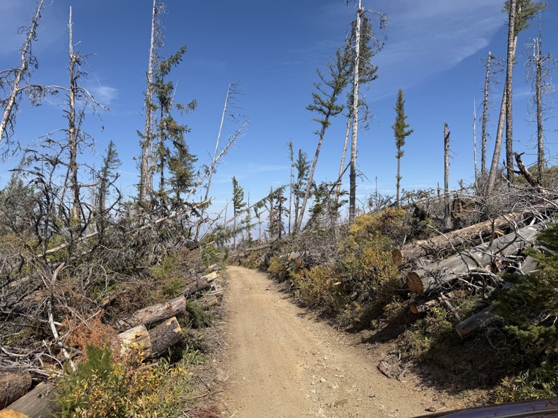
I drove this trail from the Wenatchee side all the way to Table Mountain Road in a Wrangler Rubicon. The Mission Ridge area had a couple of deep washouts on a narrow section of the road that were slo...
TS
Tom Stephens
Rated 4/5
Open
Visited: 09/13/2026
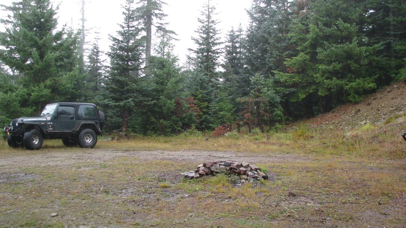
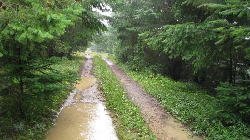
Easy hill climb to three very nice camp sites. Enclosed tree branches will provide compilatory light pinstriping and a mirror adjustment. First camp provides the most room for a group. Small trailer f...
John Kapelski
Official Crew
Rated 4/5
Open
Visited: 09/13/2026
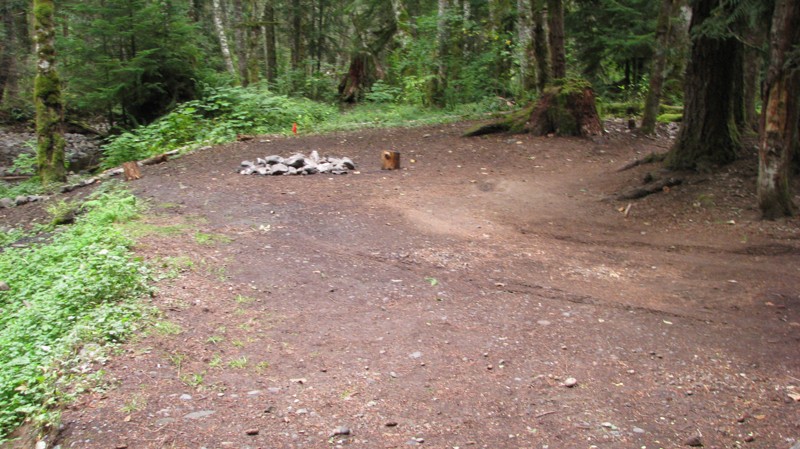
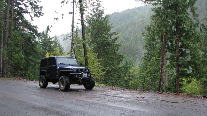
Short and sweet, Midnight Creek is an enjoyable drive through the forest at lower elevations. A dense canopy provides plenty of cool shade while the lush vegetation and abundant mountain runoff showca...
John Kapelski
Official Crew
Rated 5/5
Open
Visited: 09/13/2026
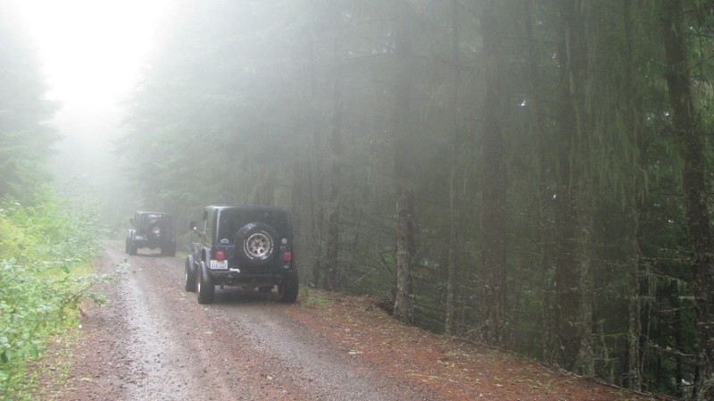
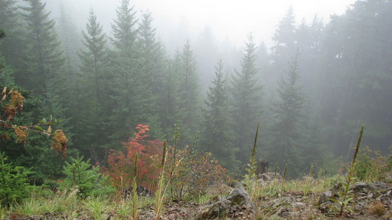
What a gem of a road! Even beneath the clouds, the route offers beautiful scenery, with early fall colors beginning to emerge and mist drifting through the surrounding mountains and forest of moss cov...
John Kapelski
Official Crew
Rated 1/5
Open
Visited: 09/13/2026
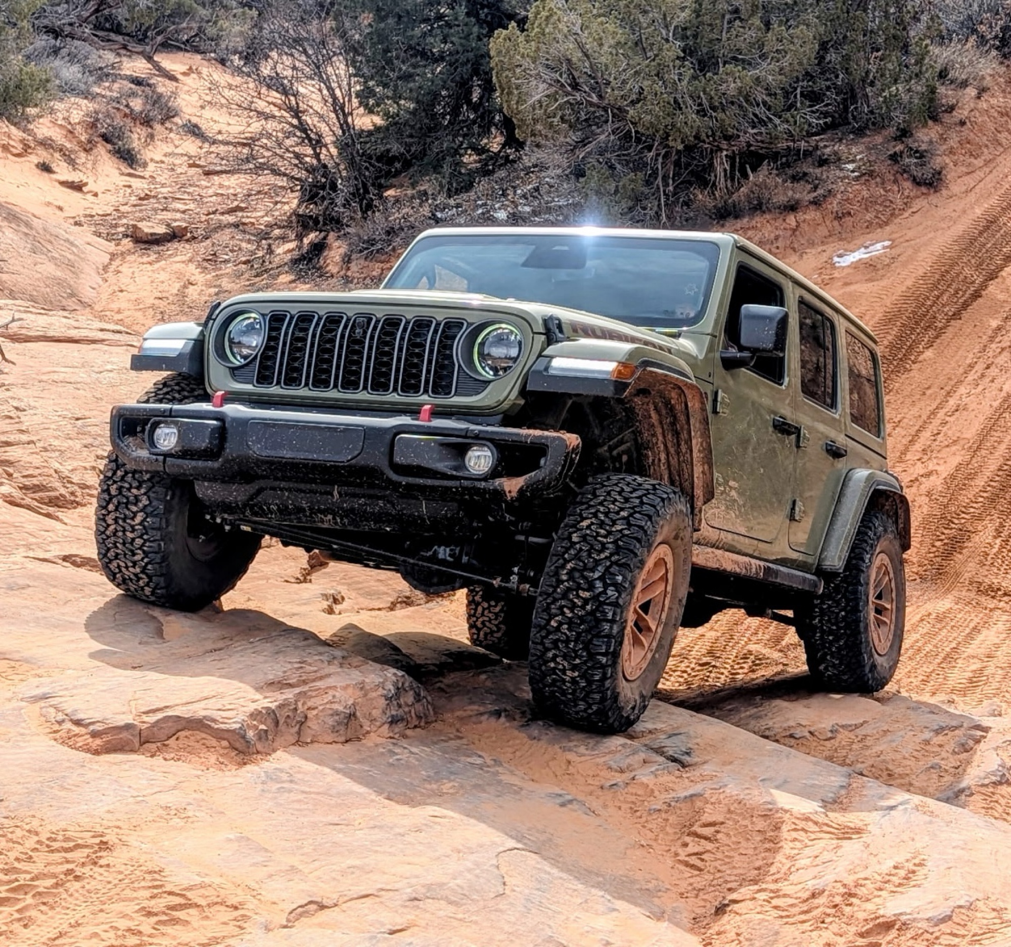
Total snooze fest. The most interesting part of the trail was when I ensured the gun was loaded driving past some local tweakers. Nothing to see here, much like the rest of the BOH trails in the PNW.
Francis whitney
Rated 3/5
Open
Visited: 09/09/2026
Beach access is easy and just about any vehicle can drive on the hard packed sand. A very important part that is not mentioned on the trail description is that driving on beach dunes is prohibited. Al...
Bill
Rated 5/5
Open
Visited: 09/07/2026
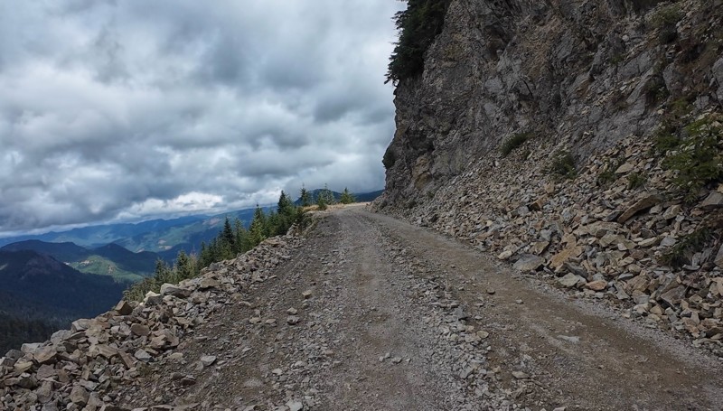
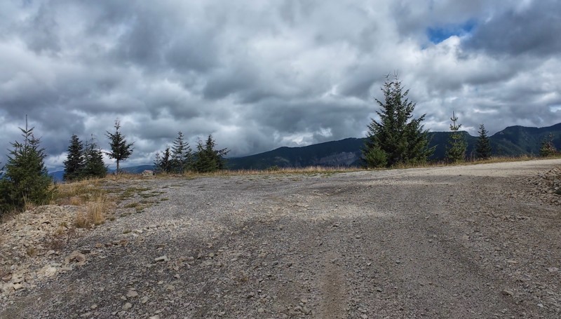
Very cool trail with multiple large campsites along the creek’s at the lower sections. Generally easy road surface with washboard areas.
John Kapelski
Official Crew
Rated 5/5
Open
Visited: 09/07/2026
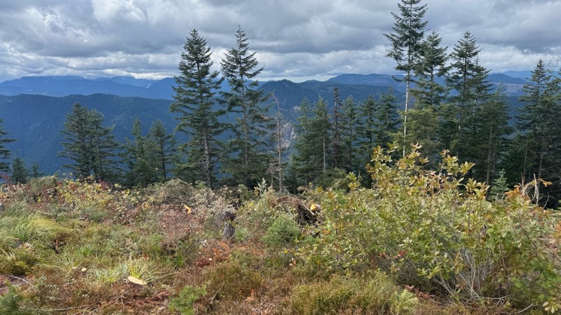
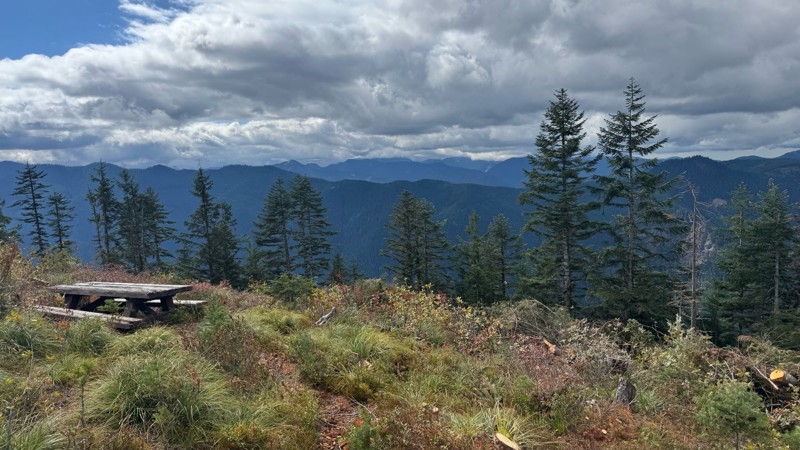
Road is easy and steep. Nice views thought the trees on the way up. Fabulous 360 degree views from the top. Cloudy days was not disappointing!
John Kapelski
Official Crew
No Rating
Open
Visited: 09/05/2026
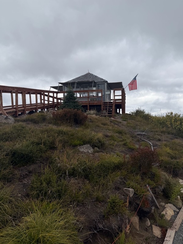
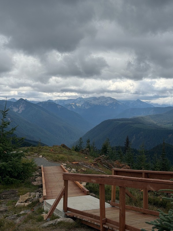
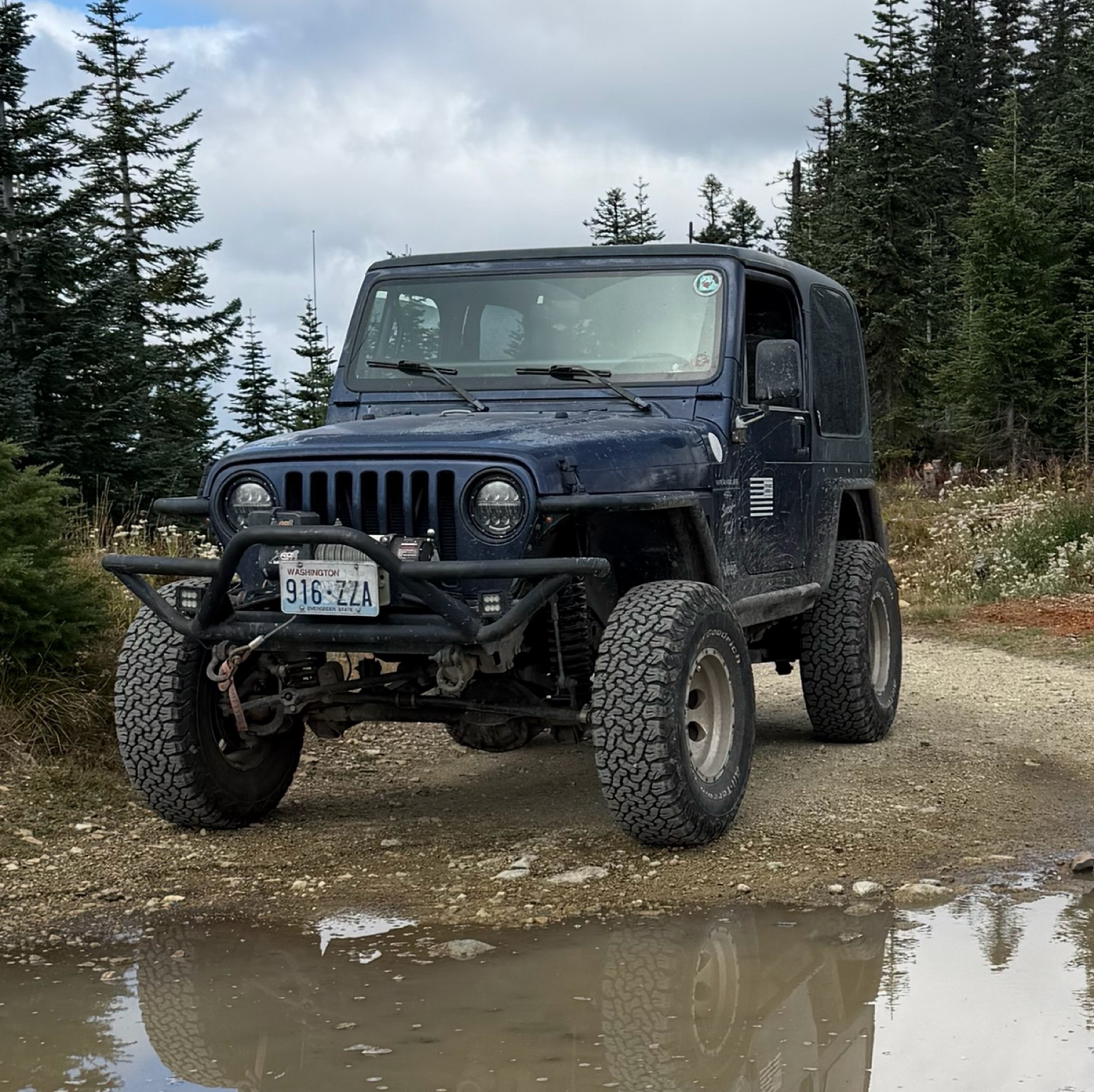
Difficult rating was spot on. Did the whole trail in 2 wheel drive. Grate views at the top
Austin Kapelski
Rated 4/5
Open
Visited: 09/05/2026
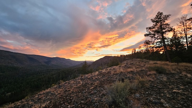
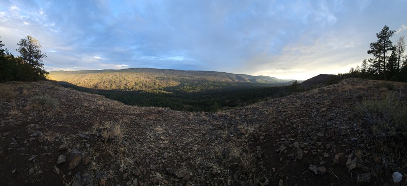
Nice quick camping trip, the campsite at the end of the road is still gorgeous, and sunsets are still pretty. the walk up to the actual devil's table is about a mile one way and 400' up, but nice view...

Ryan Wallace
Official Crew
No Rating
Seasonal Closure
Visited: 09/01/2026
According to this trails management agency, the trail is likely closed for the season.
You can reach out to the agency for more details.
Be sure to leave us a report and let us know ...

Trails Offroad
Official Crew
Rated 5/5
Open
Visited: 08/29/2026
Fun track with two people who have done this before and two, who haven't, a couple of nice waterfalls, and a good mix for everyone.
TW
Timothy Watson
No Rating
Partially Open
Visited: 08/29/2026
Tried access from North Wenas Highway at waypoint 8. Gate was posted with No Public Access. I would imagine waypoint 7 is the same as it appears to be private land???? Was not able to find access to w...
John Kapelski
Official Crew
Rated 5/5
Open
Visited: 08/28/2026
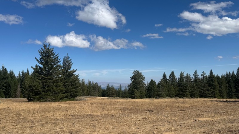
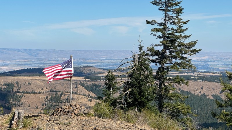
Continued from Rocky Flat,FS1701, down to Manastash Road. About 80% of the trail is down hill and never disappoints on the fun scale. More challenging that the 1701 and great views of the South Fork M...
John Kapelski
Official Crew
No Rating
Open
Visited: 08/28/2026
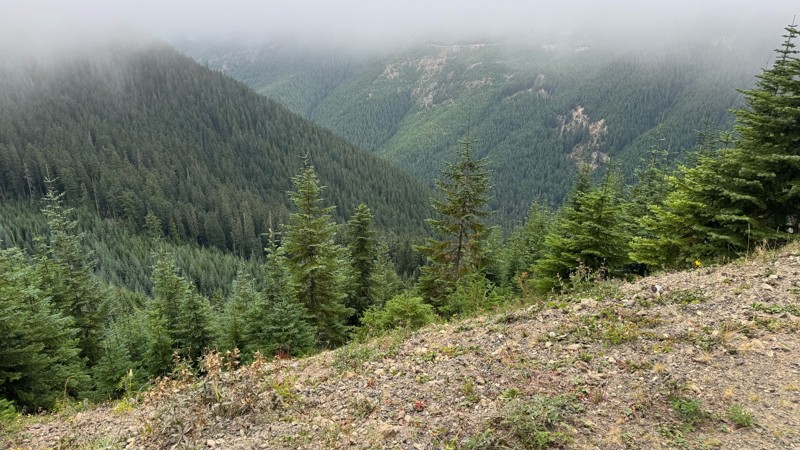
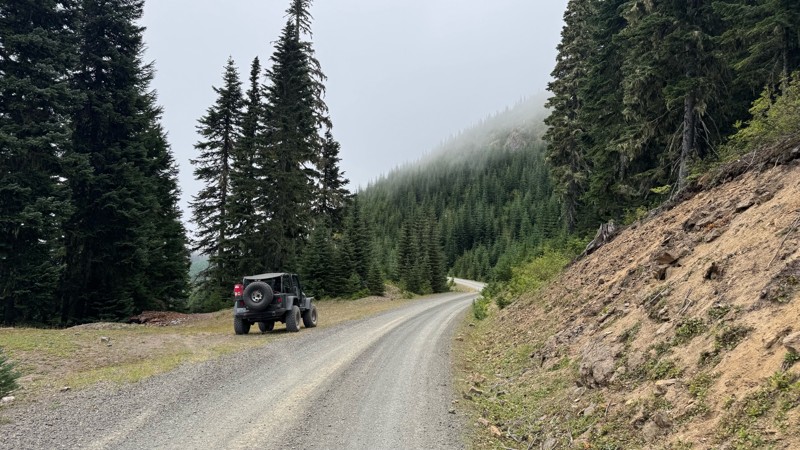
A great alternative to the Pyramid Pass route. Great camping looking over to Naches Trail
John Kapelski
Official Crew
Rated 5/5
Open
Visited: 08/28/2026
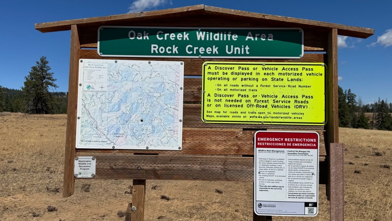
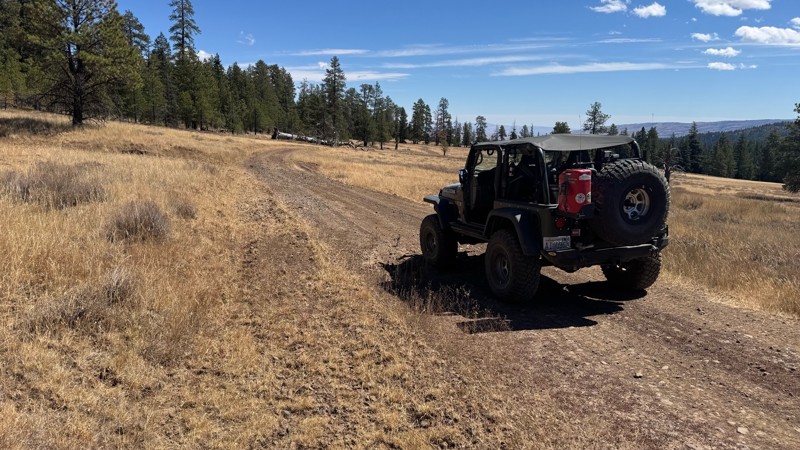
Nice dive up to waypoint 6 at five corners. Not as smooth as the initial incline but very scenic with great views to the west and east.
John Kapelski
Official Crew
No Rating
Open
Visited: 08/28/2026
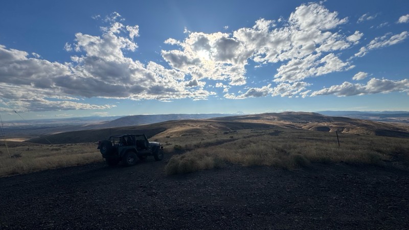
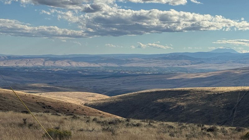
Connection area to Durr Rd and Old Durr Rd along with other trails is a bit confusing as there are “short cuts” to the same road. Umtanum Ridge is ruff. The high point is next to the towers with fant...
John Kapelski
Official Crew
No Rating
Open
Visited: 08/28/2026
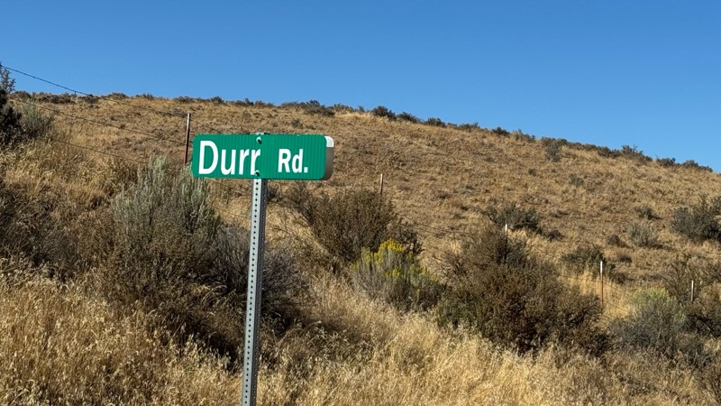
I drive this in the reverse direction of publish. Started out wide and smooth gravel surface than turned into a ruff narrow shelf road with limited places to pass. Best camping was at waypoint 3 by th...
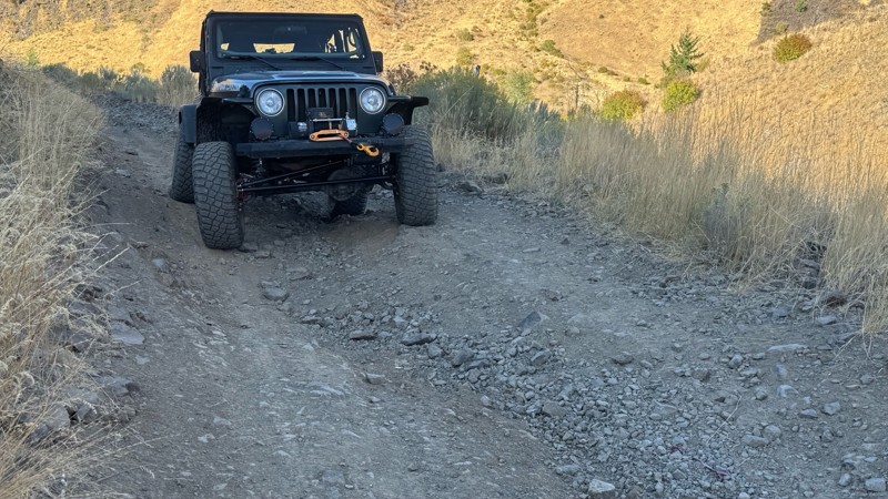
John Kapelski
Official Crew
Rated 4/5
Open
Visited: 08/28/2026
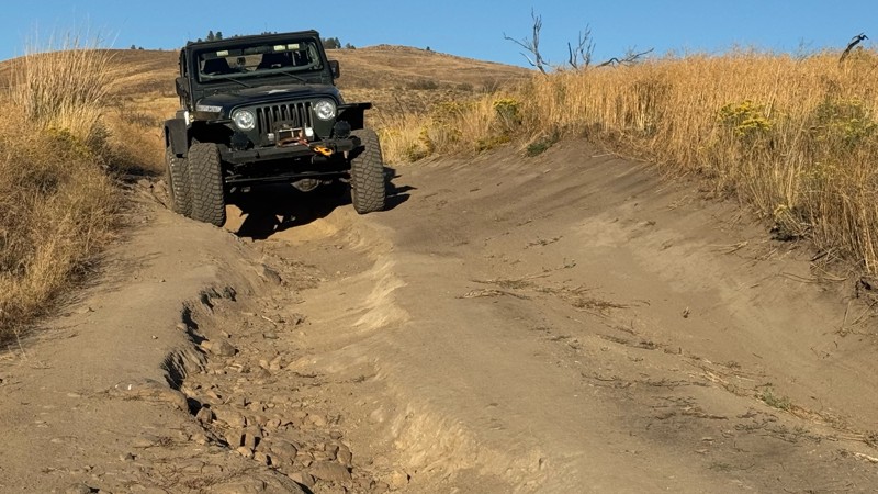
Waypoint 4-5 has changed due to water run off by exposing more rock face and creating deep ruts.
Large flat campsite next to waypoint 4, go straight before making the turn. It is the only site that ...
John Kapelski
Official Crew
Rated 4/5
Open
Visited: 08/28/2026
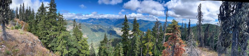
Incredible view on top! Unfortunately saw a group packing up camp on our way up and on our return down they had left lots of trash and a fire still burning during extreme fire danger and burn ban! We ...
J
Jason
Rated 4/5
Open
Visited: 08/20/2026
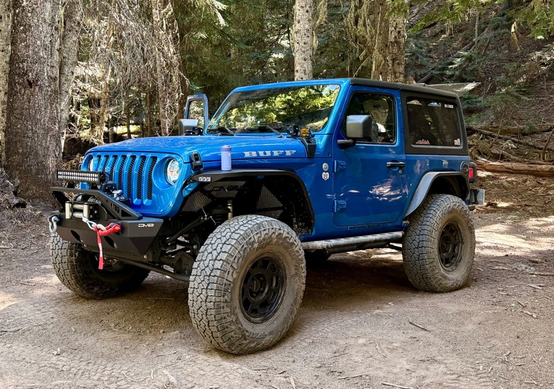
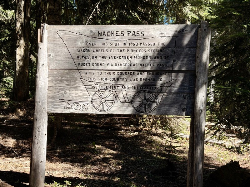
The trail is in great shape minus the section where the bridge is down. Ran into 1 other vehicle a SxS going east we were headed west. At the PCT cabin we talked to 4 through hikers refueling themselv...
CD
Carl Duester
No Rating
Open
Visited: 08/20/2026
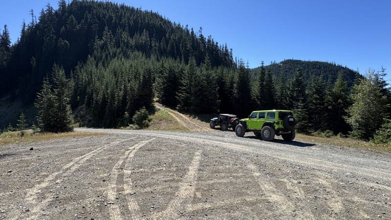
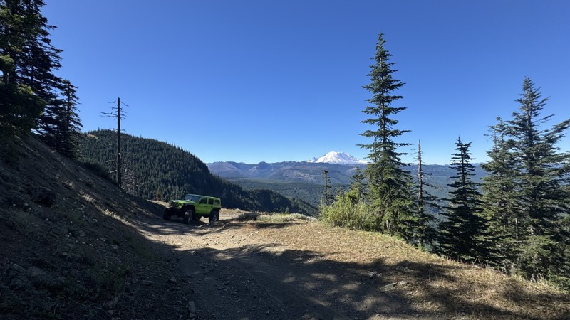
This road system offers continuous views of Mount Rainier to the south while climbing toward the rugged peaks of the northern Cascade Range. This short, enjoyable trail is well worth the few extra mi...
John Kapelski
Official Crew
Rated 3/5
Open
Visited: 08/17/2026
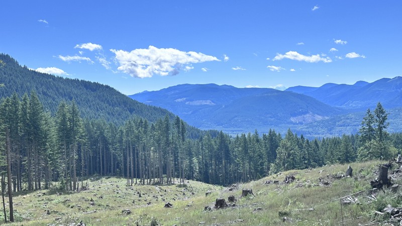
5 Road is exactly that a dirt road. Any 2WD vehicle can easily negotiate this trail. This trail is trailer friendly, but some of the tight turns are not suitable for longer trailers/campers. There are...

Eric Gartin
Official Crew
Rated 5/5
Open
Visited: 08/16/2026
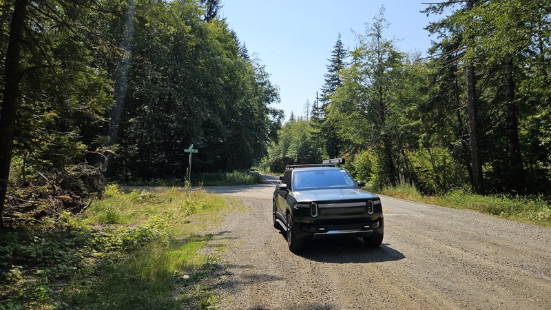
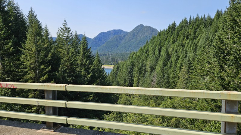
Our trip around the Wynoochee Loop was a mix of incredible scenery and some pretty technical driving. Traveling counterclockwise, we really felt the challenge starting on the final climb to the peak. ...
Ryan Wallace
Official Crew
Rated 5/5
Open
Visited: 08/15/2026
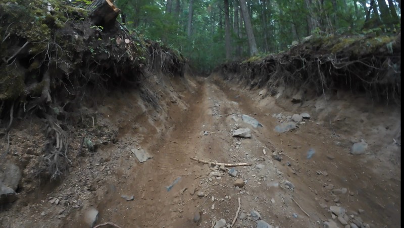
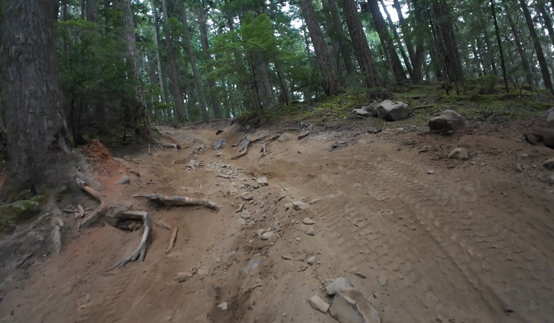
Wonderful day!!!!! Meet a two fellas doing their first trail ever. Shame on me for getting more photos. They had a BLAST!!!!! Hope to see them again.
John Kapelski
Official Crew
No Rating
Open
Visited: 08/11/2026
Per the MVUM, the trail is seasonally open. As always, check current fire restrictions/closures before venturing out.
Trails Offroad
Official Crew
No Rating
Open
Visited: 08/11/2026
Per the MVUM, the trail is seasonally open. As always, check current fire restrictions/closures before venturing out.
Trails Offroad
Official Crew
No Rating
Open
Visited: 08/11/2026
Per the MVUM, the trail is seasonally open. As always, check current fire restrictions/closures before venturing out.
Trails Offroad
Official Crew
No Rating
Open
Visited: 08/11/2026
Per the MVUM, the trail is seasonally open. As always, check current fire restrictions/closures before venturing out.
Trails Offroad
Official Crew
No Rating
Open
Visited: 08/11/2026
Per the MVUM, the trail is seasonally open. As always, check current fire restrictions/closures before venturing out.
Trails Offroad
Official Crew
No Rating
Open
Visited: 08/11/2026
Per the MVUM, the trail is seasonally open. As always, check current fire restrictions/closures before venturing out.
Trails Offroad
Official Crew
No Rating
Open
Visited: 08/11/2026
Per the MVUM, the trail is seasonally open. As always, check current fire restrictions/closures before venturing out.
Trails Offroad
Official Crew
No Rating
Open
Visited: 08/11/2026
Per the MVUM, the trail is seasonally open. As always, check current fire restrictions/closures before venturing out.
Trails Offroad
Official Crew
No Rating
Open
Visited: 08/11/2026
Per the MVUM, the trail is seasonally open. As always, check current fire restrictions/closures before venturing out.

Todd
Official Crew
No Rating
Open
Visited: 08/11/2026
Per the MVUM, the trail is seasonally open. As always, check current fire restrictions/closures before venturing out.
Todd
Official Crew
No Rating
Open
Visited: 08/11/2026
Per the MVUM, the trail is seasonally open. As always, check current fire restrictions/closures before venturing out.
Todd
Official Crew
No Rating
Open
Visited: 08/11/2026
Per the MVUM, the trail is seasonally open. As always, check current fire restrictions/closures before venturing out.
Todd
Official Crew
No Rating
Open
Visited: 08/11/2026
Per the MVUM, the trail is seasonally open. As always, check current fire restrictions/closures before venturing out.
Todd
Official Crew
No Rating
Open
Visited: 08/11/2026
Per the MVUM, the trail is seasonally open. As always, check current fire restrictions/closures before venturing out.
Todd
Official Crew
No Rating
Open
Visited: 08/11/2026
Per the MVUM, the trail is seasonally open. As always, check current fire restrictions/closures before venturing out.
Todd
Official Crew
No Rating
Open
Visited: 08/11/2026
Per the MVUM, the trail is seasonally open. As always, check current fire restrictions/closures before venturing out.
Todd
Official Crew
No Rating
Open
Visited: 08/11/2026
Per the MVUM, the trail is seasonally open. As always, check current fire restrictions/closures before venturing out.
Todd
Official Crew
Todd
Official Crew
Todd
Official Crew
No Rating
Temporary Closure
Visited: 08/11/2026
Closed due to the Sinlahekin fire.
Todd
Official Crew
No Rating
Open
Visited: 08/11/2026
Per the MVUM, the trail is seasonally open. As always, check current fire restrictions/closures before venturing out.
Trails Offroad
Official Crew
No Rating
Open
Visited: 08/11/2026
Per the MVUM, the trail is seasonally open. As always, check current fire restrictions/closures before venturing out.
Trails Offroad
Official Crew
Most Popular

Updated: 11/20/2025
Mocrocks Beach
Moclips, Washington
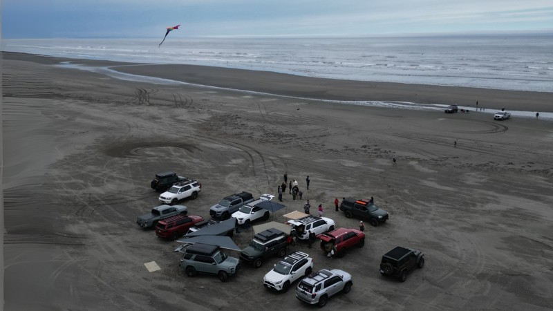
Mocrocks Beach has a few different access points and offers about three miles of drivable coastline, connecting the small towns of Pacific Beach and Moclips. The packed sand near the water is easy to drive on, but the sand gets much softer as you get closer to the dunes and beachfront homes, so keep in mind that it's easier to get stuck if you're not careful. Be sure to air down before trekking into the sand.
This beach is more popular than others in the area, so expect more foot and vehicle traffic, especially on weekends. Overnight camping isn’t allowed, and fires must be at least 100 feet away from the dunes.
If you end up driving through any saltwater, make sure to rinse your undercarriage afterward!
Updated: 06/05/2022
NF-1708-589
Cliffdell, Washington
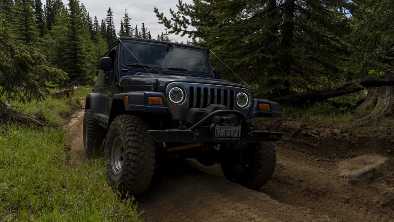
NF-1708-589 is a short trail located in the Okanogan-Wenatchee National Forest, approximately 20 miles west of Ellensburg, Washington. This trail is one of several routes and connectors commonly used to access the nearby Moon Rocks. It’s a relatively easy trail and is a great choice to take on your way to enjoy some more thrilling ones.
Updated: 10/15/2024
Brewton Road
Wenatchee Heights, Washington
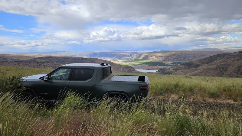
Brewton takes you from Colockum Road down almost to the water, where you meet up with Tekison Creek Road. It's a mixed bag of soft dirt road through a forest, a rocky trail along the side of a ridgeline, and a bushwhacking run through Brewton Gulch. All in all, it's not a difficult drive, though the vegetation along the last 2.5 miles through the gulch will probably give most drivers pause as several points require a choice between rubbing paint or wheels as you navigate the trail toward the water.
While Green Dot roads allow camping within 100' of any established roadway, there were no established locations on this road, and only one or two may have worked in a pinch. Come and enjoy the views and visit with the local bovine neighbors through the forest, but plan on sleeping somewhere else.
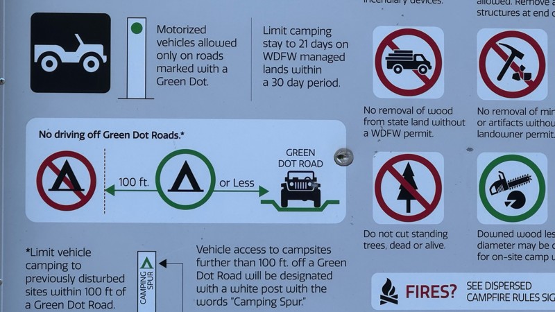
Green Dot Roads are a collaboration between DNR, the Washington Department of Fish and Wildlife, and private landowners to provide opportunities for dispersed recreation such as camping, hunting, off-road vehicle riding, and wildlife viewing. Green Dot roads are the legal motorized routes and marked with a round green reflector on a white route marker. You can find current mappings that will include seasonal and other closures at https://wdfw.wa.gov/about/wdfw-lands/green-dot. A Discover Pass is required for portions of DRN land that are included in Green Dot road maps.
Updated: 10/15/2024
FS 2608
Cispus, Washington
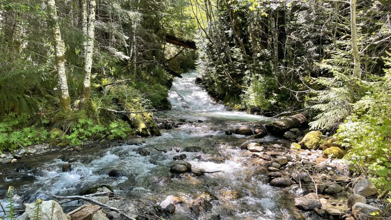
FS 2608 travels 1.3 miles back into a small valley. It crosses "Quartz creek" where there is a fantastic campsite along the bridge. There is also a Jeep trail called FS-26081109 located on the left close to that bridge. This little road is located about 9 miles up FS 26 on the left. The road continues past the jeep trail and makes a loop with 2-3 campsites.
Updated: 10/15/2024
5 Mile Road
Liberty, Washington
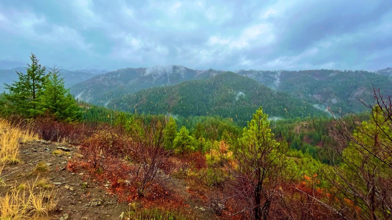
5 Mile Road is located in the Wenatchee National Forest off US 97, approximately 30 miles from the I-90 / 970 interchange at Cle Elum Washington. The trail is a 6.5-mile dirt and gravel road with small washes and light ruts. The trail offers amazing views that overlook the old-growth forest that blankets the towering mountainous landscapes, giving the feel of times in the vibrant past and experiencing this region's historic beauty. Several trail-side campsites with fire pits are scattered along this trail, giving ample opportunity to enjoy this area in small groups or on your own.
Updated: 10/15/2024
FS-1435 to Bear Lake
Rimrock, Washington
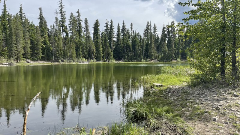
FS-14235 provides access to Bear Lake and two 4x4 trails (4W671 & 4W652). At only 1.7 miles in length, it is just a quick drive to check out, starting 11 miles up on FS-14 / Oak Creek Road. The road is very well maintained, and there is a campground big enough for large groups or could be room for 3-4 shared groups. The lake is beautiful and crystal clear and is fed by springs and snow runoff, so it's very cold throughout the year.
Updated: 09/25/2025
Hager Creek Road
Packwood, Washington
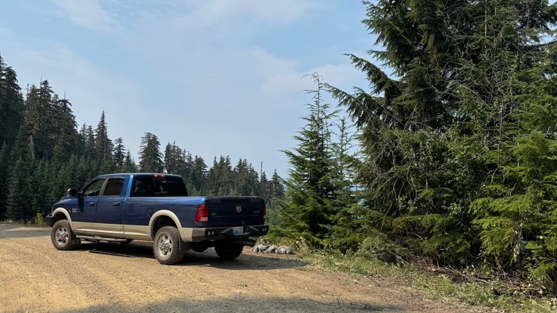
Forest Road 4800 begins gently, winding past a handful of homes and roadside camps before climbing steadily into the forested slopes above Hager Creek. The road is generally easy, though a short, steep gravel climb near the 6-mile mark, just past the Hager Lake Spur, may call for 4-low in heavy rigs. Beyond that, the drive is rewarding with many spurs that lead to meadows perfect for camping. Several trailheads like Lily Basin draw hikers and horseback riders, and clearings offer space for groups to spread out. As the road narrows, brush lines the way until it finally opens onto a ridge at the edge of the Goat Rocks Wilderness, where Packwood Lake shimmers far below and surrounding peaks stretch to the horizon. With star-filled skies at night and sunrise views in the morning, this road delivers the quintessential high-country experience for anyone willing to make the climb.
Updated: 12/02/2025
B-Line
Madrona Beach, Washington
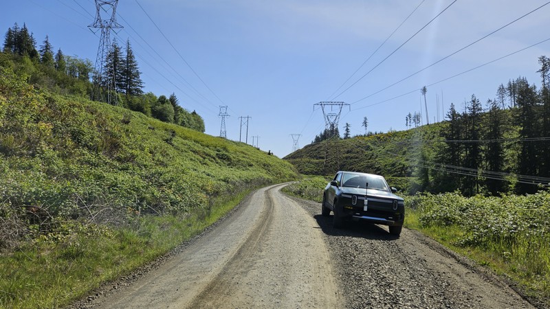
B-Line is a well-tended gravel road in Capitol State Forest, traversing roughly east-west across the northern section and connecting with several key spurs and connector roads. The road is wide and generally well-maintained, with moderate grades and numerous turnouts. B-Line intersects with other numbered roads and provides access to trail systems in the north section of Capitol Forest, which is generally open to offroad vehicles. You'll find access to Rock Candy, North Rim (#1, 2, and 3) for ATV usage, and Loki for single track. Near the south-west paved end of the road is Porter Creek campground and a short hike to Porter Falls.
Capitol State Forest can have active logging operations, so be sure to pay attention and watch for heavy machinery and trucks while exploring the forest. There is no dispersed camping allowed in Capitol State Forest; the only camping permitted within the forest is in official campgrounds, so please ensure that you have a plan for that if you need a place to stay for the night.
Capitol State Forest is an 11,000-acre forest packed with roads and trails and specific opportunities for recreational purposes. Please see https://www.dnr.wa.gov/Capitol for up-to-date info and closures relating to this location and any restrictions on activities.
Updated: 07/16/2026
Timberwolf Mountain
Rimrock, Washington
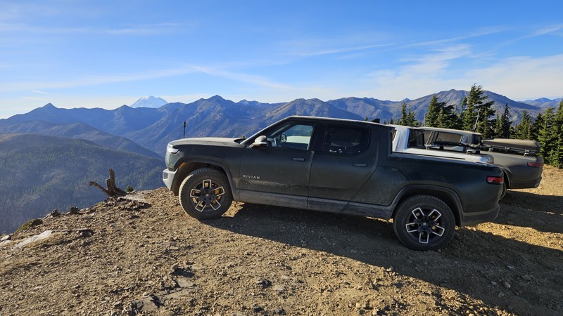
Timberwolf Mountain boasts a short climb to the namesake summit, which offers stunning views of both Mt. Rainier and Mt. Adams. Along the drive, you will pass through the charred remains of pine trees that burned in the 2021 Schneider Springs fire. The road is primarily packed dirt but can be loose in some places. 4WD may be a desired feature if you're traversing this in inclement weather.
There's no camping along the trail, but with the 360-degree view, it would make a lovely location for sunrise or sunset observations.
Updated: 05/15/2024
NF 630
Nile, Washington
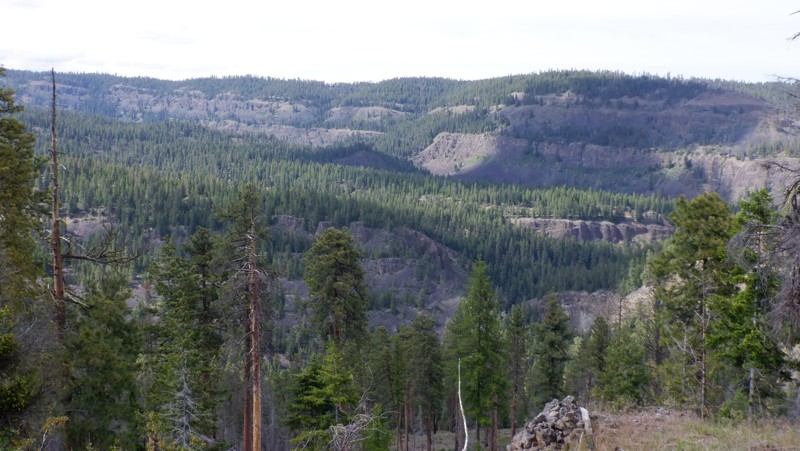
This trail is situated in the Okanogan-Wenatchee National Forest. The trail is mainly used as a connector trail to get you from NF-1500 to the excellent Rattlesnake trail. But on your way there, the trail presents beautiful views of the Rattlesnake Creek Canyon, protected by high-volcanic cliffs on the other side of the canyon. The trail winds through high mountain meadows with scarred trees recovering from a forest fire.
Updated: 10/22/2025
E-Line
Bordeaux, Washington
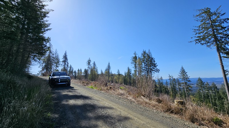
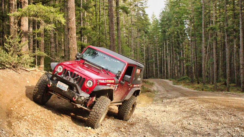
E-line offers an East-West traversal across the southern end of Capitol State Forest, with a well-maintained gravel road and stunning views. There are no official hiking trails off of E-line, but several smaller offshoot roads, some closed to vehicles, if you were looking to get out of the vehicle for a period of time for hiking or target shooting.
Capitol State Forest can have active logging operations, so be sure to pay attention and watch for heavy machinery and trucks while exploring the forest. There is no dispersed camping allowed in Capitol State Forest; the only camping permitted within the forest is in official campgrounds, so please ensure that you have a plan for that if you need a place to stay for the night.
Capitol State Forest is an 11,000-acre forest packed with roads and trails and specific opportunities for recreational purposes. Please see https://www.dnr.wa.gov/Capitol for up-to-date info and closures relating to this location and any restrictions on activities.
Updated: 06/04/2026
G-3040
Sunbeach, Washington
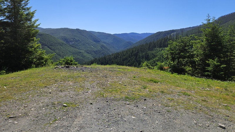
Located just outside of Belfair in the Tahuya ORV Park, G-3400 is an easy connector road to G-2000 and G-3000, allowing easy access to the trails in the south end of the park. There is no camping along this road.
Updated: 09/10/2026
Echo Lake
Snoquera, Washington
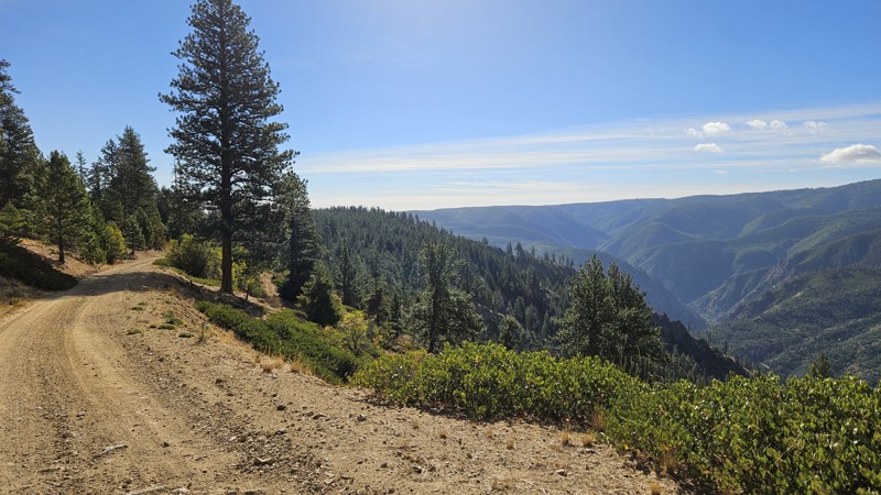
A twisty, gravelly drive up into the forest may be just what the Dr. ordered here! This trail offers continually impressive views the higher you get. Although you are on the wrong side of the hills and forest to see Mt Rainier, plenty of other forest views keep you entertained. You'll find some camp locations along the road, mostly down lower, but users should be aware that most of the campsites are between the road and large dropoffs.
Although the road may appear to venture deeper into the forest, the legal MVUM track of this trail ends abruptly in an obscure location with no official markings.
Updated: 12/11/2024
Roaring Ridge Road
Ardenvoir, Washington
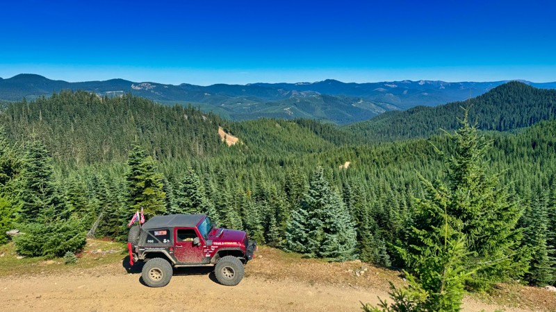
Roaring Ridge is a 16-mile straight-through forest road primarily comprised of easy, ridgeline driving. This road can be a little rough in spots with a few bumps and dips along the drive, but nothing too problematic. However, finding turnouts can be challenging in a few thinner sections, especially if there are more than a couple of vehicles in your group. Views are abundant, and though powerlines are also present, they don’t take away from the beauty. These power lines spread at least 90 miles across the forest between Snohomish and the Columbia River. Camp spots are scattered along this road as you descend through wooded sections from Rothrock Road to the town of Ardenvoir, ending the road at a cute little one-lane bridge across Mad River.
Roaring Ridge is part of multiple popular overlanding routes, including the Washington Cascade Overland Route, and section 4 (Cashmere to Chelan) of the Washington Backcountry Discovery Route (WABDR).
Updated: 10/15/2024
FS1914-789
Cougar Valley, Washington
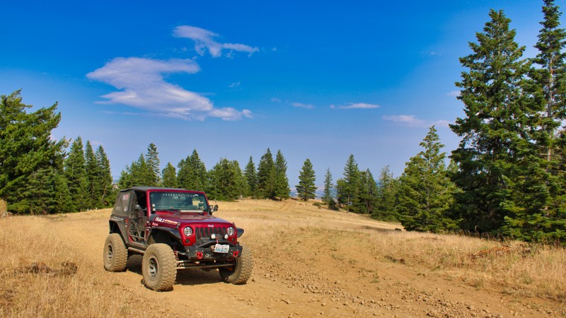
FS1914–789 is a picturesque single-lane road in the Mount Baker-Snoqualmie National Forest, meandering through ancient old-growth forests. This road offers a scenic drive with access to quick extractions of broken vehicles from the Naches Trail, making it a convenient route for adventurers. It parallels the historic Naches Trail and intersects at Waypoint 14 before winding to a dead end that could serve as a perfect overland camping spot for multiple rigs. While there aren't camping areas directly on the road, numerous spur roads provide access to excellent camping spots and scenic lookouts. Travelers can enjoy breathtaking views along this enchanting route to the north of the Canadian Cascades. The road is steep in sections, with numerous large mud puddles and erosion areas. This road is primarily used to quickly access Government Meadows on the Naches Trail.
Updated: 08/31/2026
Barber Springs Road
Wenas, Washington
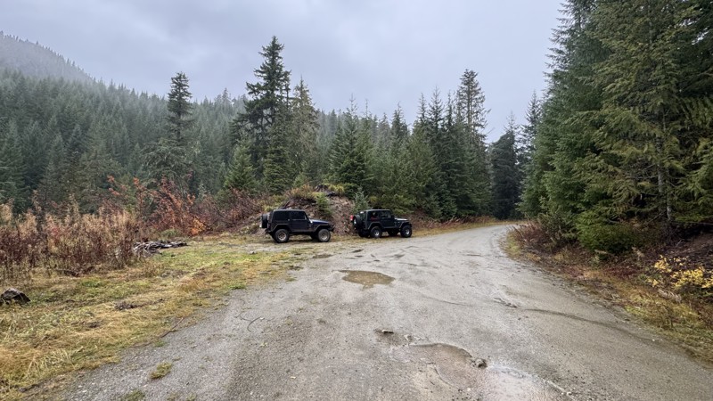
Barber Springs Road provides the quickest way into the 4x4 trails on the Manastash Ridge. This road starts on Manastash Road and climbs up quickly in elevation. The road does get a bit rocky toward the top, but stay easy on the throttle and let the suspension do the work. Lush green forests and rolling hills surround the road and occasionally offer glimpses of the majestic mountains in the distance. Barber Springs Road provides a peaceful and tranquil drive, perfect for those looking to escape the hustle and bustle of city life and immerse themselves in the beauty of nature. Travelers can expect to encounter wildlife, such as deer and birds, along the way, adding to the charm of the journey. Overall, Barber Springs Road offers a serene and idyllic driving experience for those looking to explore the natural beauty of Washington State.
Updated: 08/11/2026
Dixon Mountain
Longmire, Washington
Dixon Mountain is an out-and-back spur off Skate Creek. Roughly one hundred feet from the start of the road, the first of several campsites appears at the confluence of Dixon Creek and Skate Creek. With cool water access and plenty of shade, it’s an inviting spot for summer camping or a quick rest stop.
As the route climbs, small humps begin to appear along the roadway, likely remnants of old logging yarder positions. Attentive visitors may also notice straight-line gaps through the forest canopy—evidence of historic highlines once used to transport timber across the ravine.
The road itself remains smooth and well-graded, with a compacted rock surface that stays accessible up to about mile 2.9. Here, a campsite offers wide views across the ravine and southwest toward the surrounding ridges. From around mile 3.2, the trail shifts from an easy drive to a more difficult climb with deep erosion ruts. At a fork, Dixon Mountain Road veers to the right, leading to additional viewpoints and the end of the road at a large washout and a missing section of roadway.
Access to this area depends on the seasonal status of Skate Creek Road (Forest Road 52), which is typically closed from December through May due to snow and road conditions. For updated information on closures and current access, contact the U.S. Forest Service, Gifford Pinchot National Forest.
Updated: 09/09/2026
Devil's Table
Nile, Washington
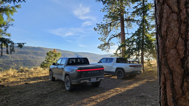
Devil's Table is an out-and-back, rough dirt road with small ruts and embedded rocks, suitable for any high clearance 2WD vehicle during fair weather. This trail takes you on a side quest off the WABDR route but pays off with a couple of campsites and gorgeous south and westerly views. The road stops at a campsite large enough for a few rigs and offers users the chance to take a 1.25-mile hike up to the actual Devil's Table Peak for some beautiful views, especially in the evening.
Updated: 08/11/2026
Guler Ice Caves
Trout Lake, Washington
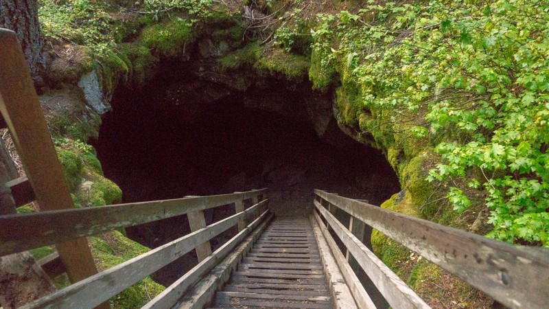
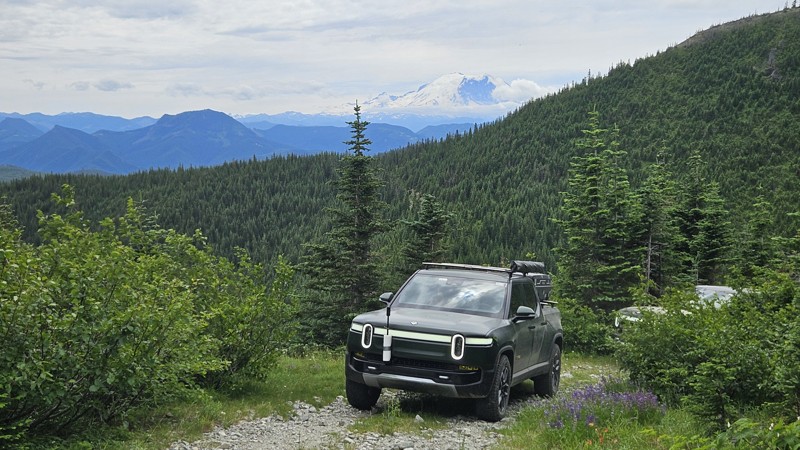
The Guler Ice Cave is the main cave in an area of many, though the others are not publicized to reduce vandalism, and to protect the bats that live in these caves. It’s cold and filled with moist air, and ice can be present year-round. For this reason, it is recommended that you bring flashlights, warmer clothing, and sturdy footwear when exploring the caves. The cave stretches for 650 feet and has multiple entrances and exits, though crawling and fitting through tighter passages will become necessary as you continue deeper into the cave. For more infomation about the hiking visit Washington Trails Associaton. The Guler Ice Cave was created by lava tubes from the nearby Mt. Adams 12,000 to 18,000 years ago. The caves were known by Native Americans as well as early settlers to the region, and chunks of ice were taken from the caves and sent to towns along the Columbia River. The caves were later used by Mr. Christian Guler, who used them to store produce before taking them to the local market. There is a $5/vehicle/day fee, though the Northwest Forest Pass and National Park pass are also honored. Also, check the posted signs before entering the caves to ensure the safety of yourself, others, and the animals that live inside of the caves. This trail is part of the Washington Cascade Overland Route. Visit Overlanding Across Washington for more information, including which trails to take next.
Updated: 08/11/2025
Upper Snow Creek
Stampede, Washington
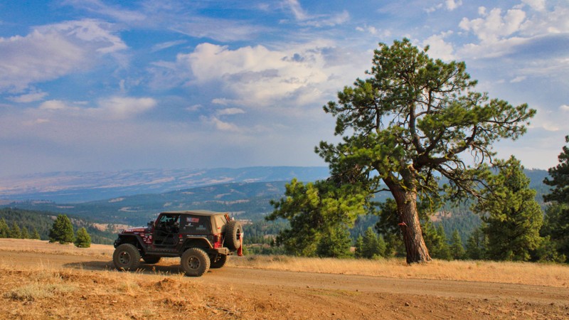
Upper Snow Creek (Forest Road 5078) is a mixed-condition forest road that climbs Meadow Mountain in the Mount Baker-Snoqualmie National Forest. It begins as a well-graded gravel road but transitions to rough dirt partway along and becomes larger loose rock approximately 1.5 miles from the summit. The upper section becomes increasingly challenging, with two steep, narrow, and overgrown switchbacks near the top. The final switchback stretches about one-third of a mile and is heavily off-camber in places, bordered by dense brush and steep drop-offs. This section is only suitable for very narrow, high-clearance, or singletrack vehicles and may require reversing a significant distance if the turnaround at the end cannot be reached.
The road offers beautiful views the entire way, but Mt Rainier becomes visible the higher you climb, particularly as you rise above the surrounding foothills. Upper Snow Creek intersects the Stirrup Lake Trail at the southwest end, roughly 1 mile from the Pacific Crest Trail. Parking at this location is minimal, barely enough for one vehicle without blocking the road. Dispersed camping is available at several points along the route, including a scenic site near a small lake by the trail junction, a few primitive spur roads, and a beautiful mountaintop clearing at the very end of the road offering a direct view of Mount Rainier.
Updated: 10/15/2024
Hog Ranch Road
Pinecliff, Washington
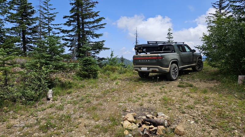
Hog Ranch Road is a picturesque rural road starting at Audubon Road in the Wenas Valley in Washington state. This road can be used for quick access to the Manastash Recreation Area. The road condition changes from easy to moderate about halfway up, but that's what makes these roads interesting. The road climbs steadily from the Cascade Campground and connects with Bald Mountain Road / FS1701, known for its stunning natural beauty and tranquil surroundings. Surrounded by lush forests and rolling hills, this road offers a scenic drive that showcases the Pacific Northwest's diverse landscape. The road is lined with old-growth trees and wildflowers, creating a peaceful and idyllic setting for travelers to enjoy. Hog Ranch Road is a popular destination for nature enthusiasts, hikers, and photographers looking to immerse themselves in the beauty of Washington State's countryside.
Updated: 10/15/2024
Mt. Baker-Snoqualmie 390
Lester, Washington
390 starts off a little overgrown, but it opens up shortly after. It's a short drive with quite a bit of vertical, but 4WD and a decent amount of ground clearance are highly recommended. The road is crossed by anti-washout berms at least a dozen times, and they're pretty severe. Unfortunately they don't photograph well, and the road was too narrow to get a side shot with the truck on them.
There is a fun little campsite at the very top, and a couple on the way up, but none of them really seemed level enough for ground tent usage. It would be quite nice for a vehicle-mounted one.
Updated: 09/10/2026
Forest Lake NFD7222
Snoquera, Washington
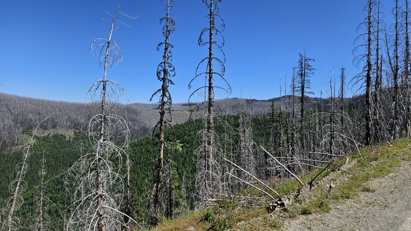
Forest Lake Road takes a winding path up through the trees and into a severe burn scar. Entire swaths of dead trees present a very dramatic comparison to the greenery of the live trees. Along the drive, you'll see a few campsites on the road and even more on a few of the offshoot roads. The trail ends in a turnaround with another good spot for a campsite.
Noble Knob hiking trail has two plausible trailheads off this road. One is a tiny offshoot road that looked to have space for 4+ vehicles and possibly some camping space as well. The other one is about 3/4 of the way up 7222 and consists of merely a slightly wider part of the road that can handle about three vehicles or so.
Updated: 10/15/2024
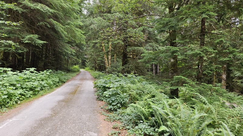
South Fork Sol Duc Road
Ovington, Washington
South Fork is a pretty straightforward gravel road. Expect large potholes, separated apart, to be more like speed bumps than danger to your wheels. It's a pretty lowland forest drive with a couple of dispersed campsites, with a sizeable one at the end. Arrive early if you plan on camping due to the ease of access—it fills up fast!

Upgrade your Membership
Unlock all of the details on every Trail Guide and Scout Route.
Start a 7-day Free TrialCommunity
Partners

