


By clicking "ACCEPT", you agree to be the terms and conditions of each policy linked to above. You also agree to the storing of cookies on your device to facilitate the operation and functionality of our site, enhance and customize your user experience, and to analyze how our site is used.
Washington Off-Road Trails
187
Total Trail Guides 183

1735
Detailed Waypoints 156
Try a Free 7-Day Trial and unlock it all
Start a Free Trial Most Recent Trail Reviews
Rated 5/5
Open
Visited: 09/20/2026
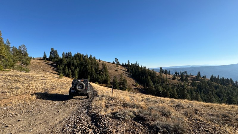
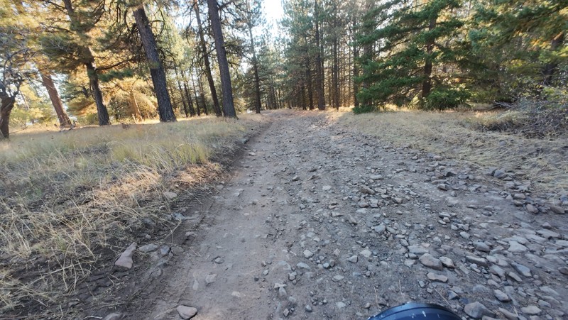
Traveled down from NS1712. The NS1711 is steep and loose gravel into the lower section along the hill side where the road surface becomes more level with gravel surface. Fantastic views from the top ...


John Kapelski
Official Crew
No Rating
Open
Visited: 09/19/2026
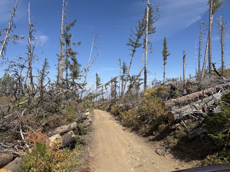
I drove this trail from the Wenatchee side all the way to Table Mountain Road in a Wrangler Rubicon. The Mission Ridge area had a couple of deep washouts on a narrow section of the road that were slo...
TS
Tom Stephens
Rated 4/5
Open
Visited: 09/13/2026
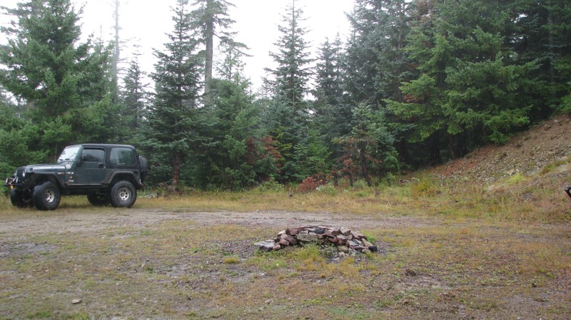
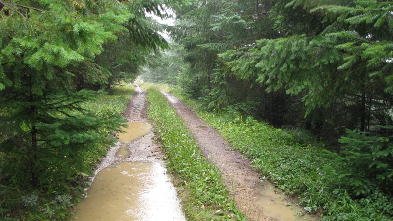
Easy hill climb to three very nice camp sites. Enclosed tree branches will provide compilatory light pinstriping and a mirror adjustment. First camp provides the most room for a group. Small trailer f...
John Kapelski
Official Crew
Rated 4/5
Open
Visited: 09/13/2026
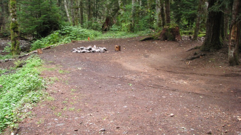
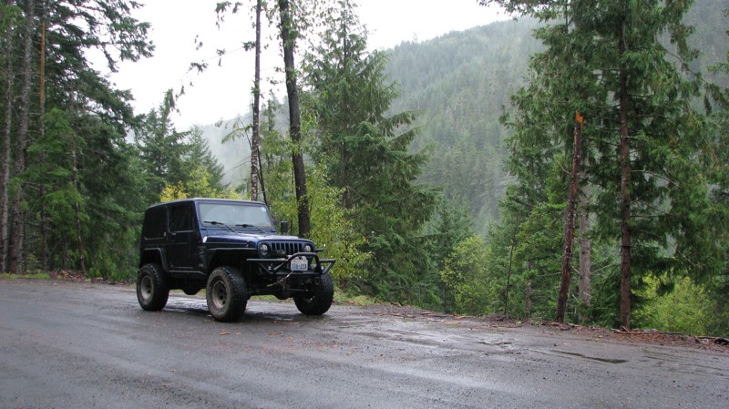
Short and sweet, Midnight Creek is an enjoyable drive through the forest at lower elevations. A dense canopy provides plenty of cool shade while the lush vegetation and abundant mountain runoff showca...
John Kapelski
Official Crew
Rated 5/5
Open
Visited: 09/13/2026
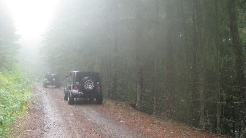
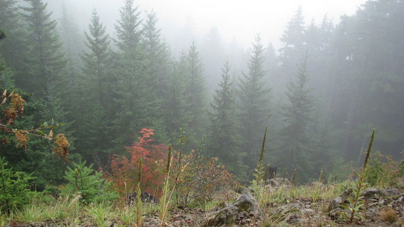
What a gem of a road! Even beneath the clouds, the route offers beautiful scenery, with early fall colors beginning to emerge and mist drifting through the surrounding mountains and forest of moss cov...
John Kapelski
Official Crew
Rated 1/5
Open
Visited: 09/13/2026
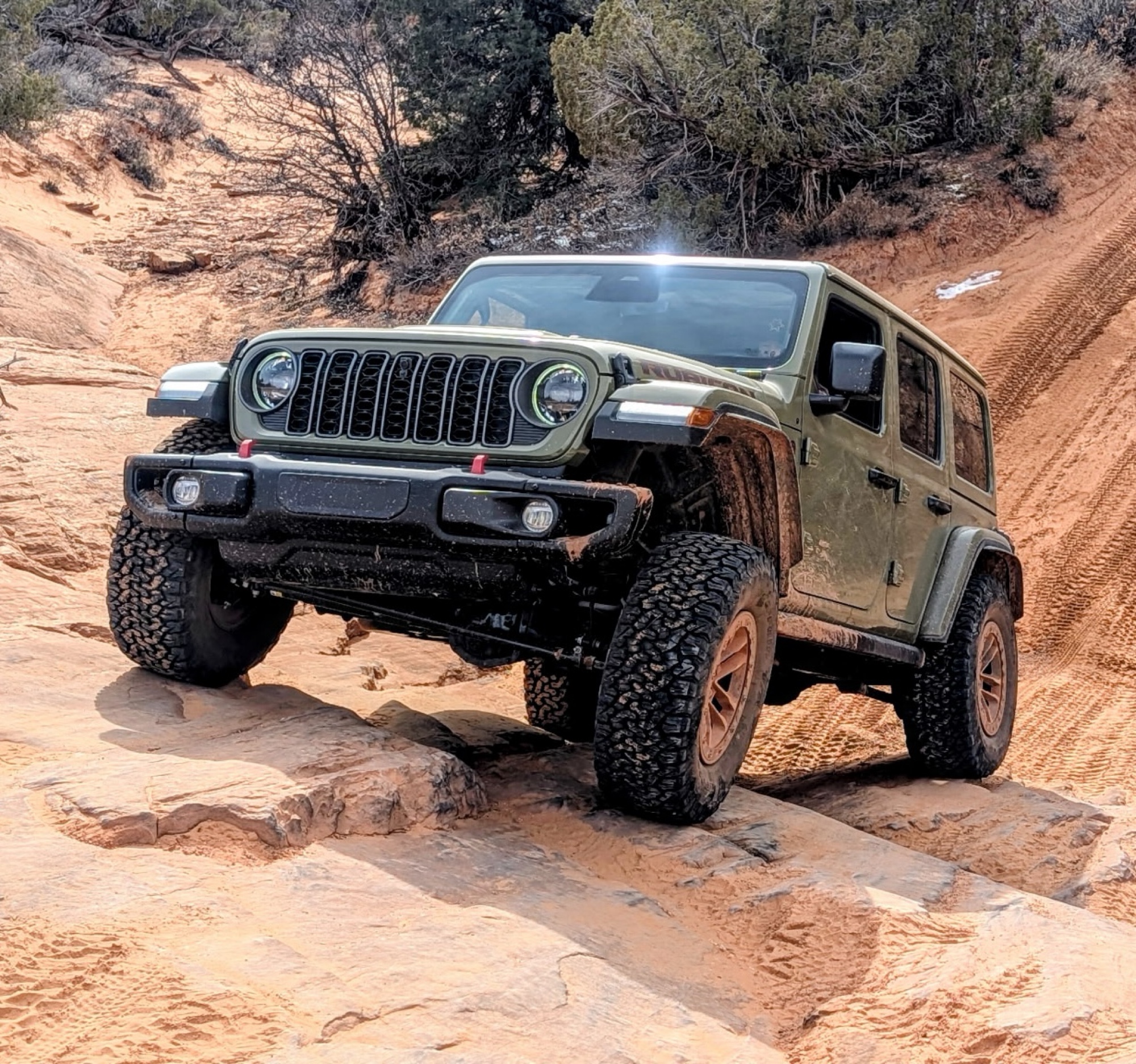
Total snooze fest. The most interesting part of the trail was when I ensured the gun was loaded driving past some local tweakers. Nothing to see here, much like the rest of the BOH trails in the PNW.
Francis whitney
Rated 3/5
Open
Visited: 09/09/2026
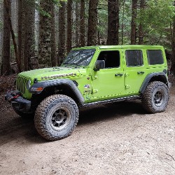
Beach access is easy and just about any vehicle can drive on the hard packed sand. A very important part that is not mentioned on the trail description is that driving on beach dunes is prohibited. Al...
Bill
Rated 5/5
Open
Visited: 09/07/2026
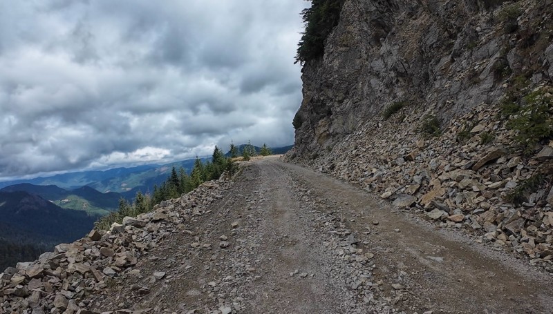
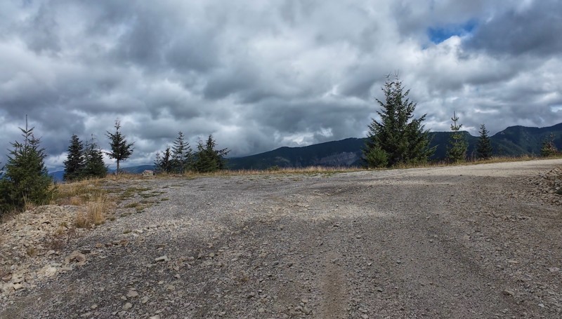
Very cool trail with multiple large campsites along the creek’s at the lower sections. Generally easy road surface with washboard areas.
John Kapelski
Official Crew
Rated 5/5
Open
Visited: 09/07/2026
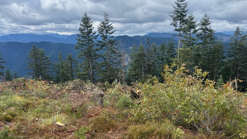
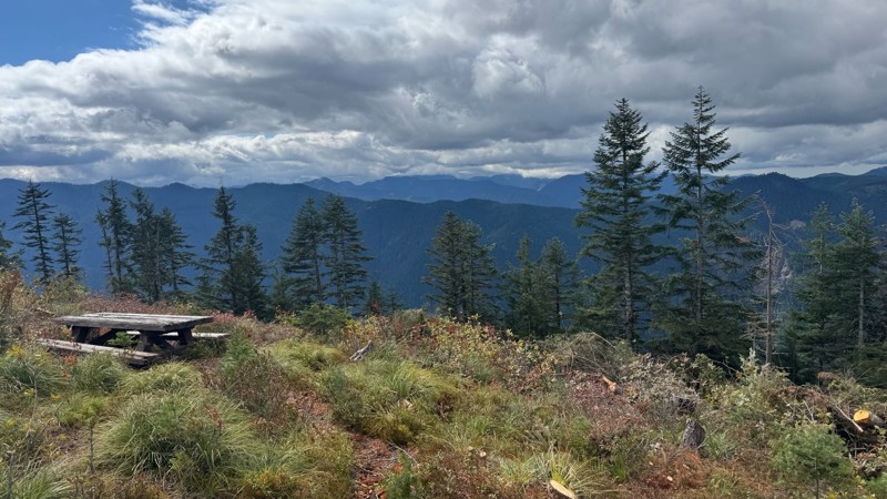
Road is easy and steep. Nice views thought the trees on the way up. Fabulous 360 degree views from the top. Cloudy days was not disappointing!
John Kapelski
Official Crew
No Rating
Open
Visited: 09/05/2026
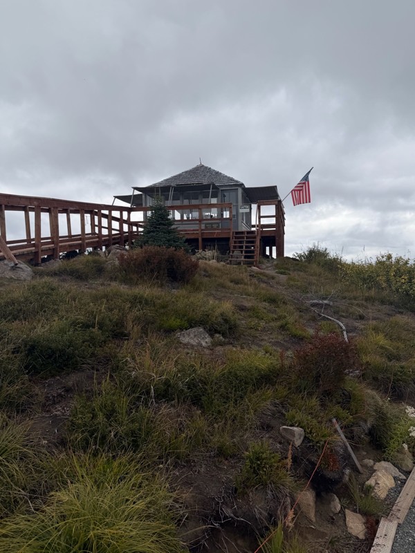
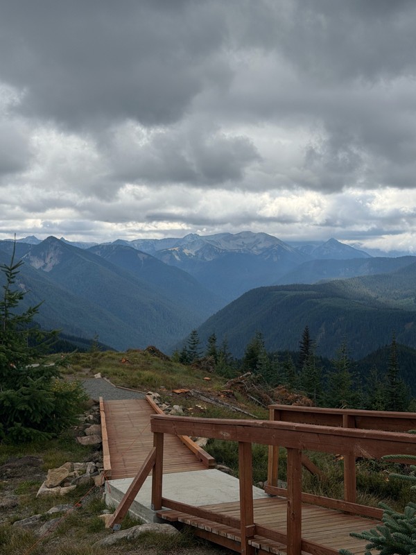
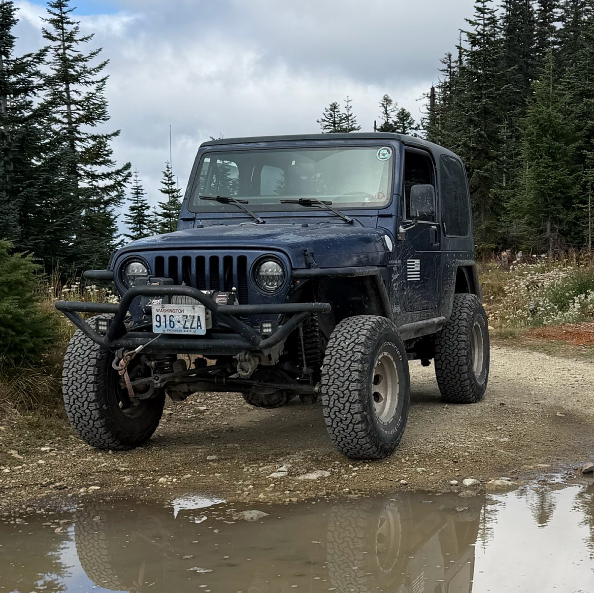
Difficult rating was spot on. Did the whole trail in 2 wheel drive. Grate views at the top
Austin Kapelski
Rated 4/5
Open
Visited: 09/05/2026
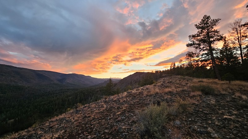
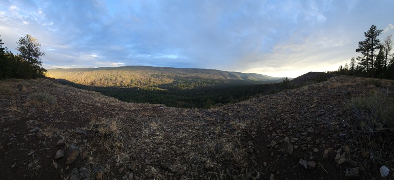
Nice quick camping trip, the campsite at the end of the road is still gorgeous, and sunsets are still pretty. the walk up to the actual devil's table is about a mile one way and 400' up, but nice view...

Ryan Wallace
Official Crew
No Rating
Seasonal Closure
Visited: 09/01/2026
According to this trails management agency, the trail is likely closed for the season.
You can reach out to the agency for more details.
Be sure to leave us a report and let us know ...

Trails Offroad
Official Crew
Rated 5/5
Open
Visited: 08/29/2026
Fun track with two people who have done this before and two, who haven't, a couple of nice waterfalls, and a good mix for everyone.
TW
Timothy Watson
No Rating
Partially Open
Visited: 08/29/2026
Tried access from North Wenas Highway at waypoint 8. Gate was posted with No Public Access. I would imagine waypoint 7 is the same as it appears to be private land???? Was not able to find access to w...
John Kapelski
Official Crew
Rated 5/5
Open
Visited: 08/28/2026
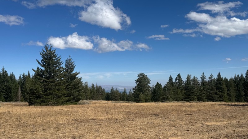
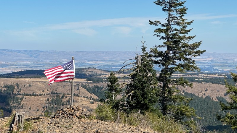
Continued from Rocky Flat,FS1701, down to Manastash Road. About 80% of the trail is down hill and never disappoints on the fun scale. More challenging that the 1701 and great views of the South Fork M...
John Kapelski
Official Crew
No Rating
Open
Visited: 08/28/2026
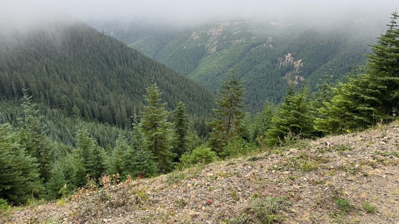
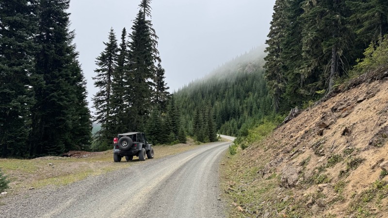
A great alternative to the Pyramid Pass route. Great camping looking over to Naches Trail
John Kapelski
Official Crew
Rated 5/5
Open
Visited: 08/28/2026
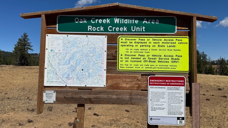
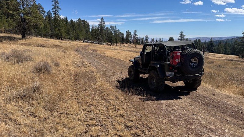
Nice dive up to waypoint 6 at five corners. Not as smooth as the initial incline but very scenic with great views to the west and east.
John Kapelski
Official Crew
No Rating
Open
Visited: 08/28/2026
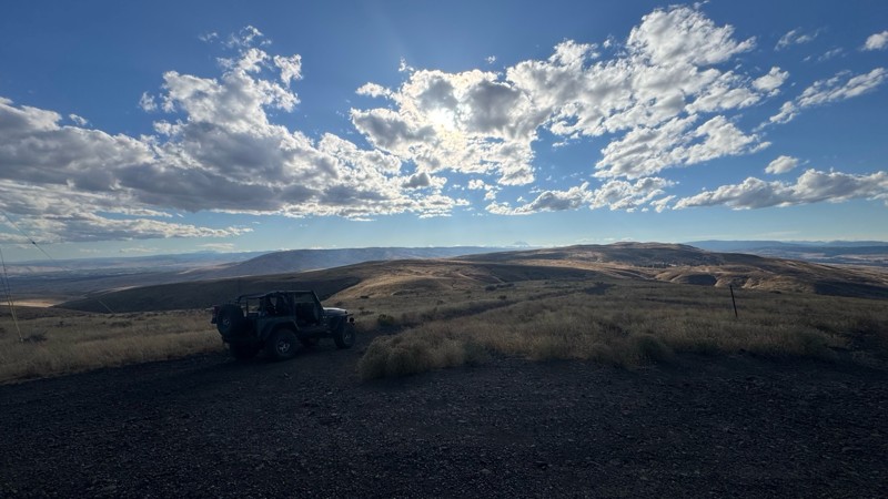
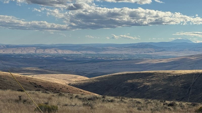
Connection area to Durr Rd and Old Durr Rd along with other trails is a bit confusing as there are “short cuts” to the same road. Umtanum Ridge is ruff. The high point is next to the towers with fant...
John Kapelski
Official Crew
No Rating
Open
Visited: 08/28/2026
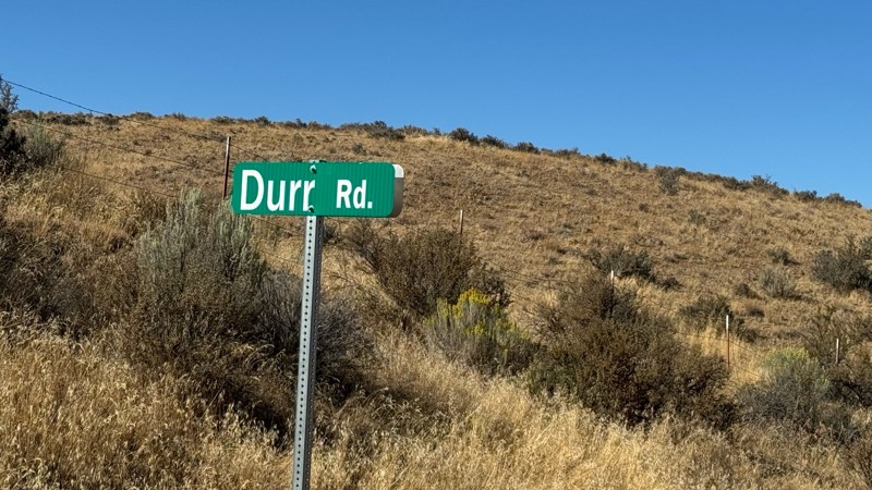
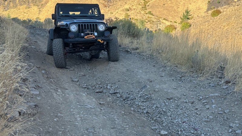
I drive this in the reverse direction of publish. Started out wide and smooth gravel surface than turned into a ruff narrow shelf road with limited places to pass. Best camping was at waypoint 3 by th...
John Kapelski
Official Crew
Rated 4/5
Open
Visited: 08/28/2026
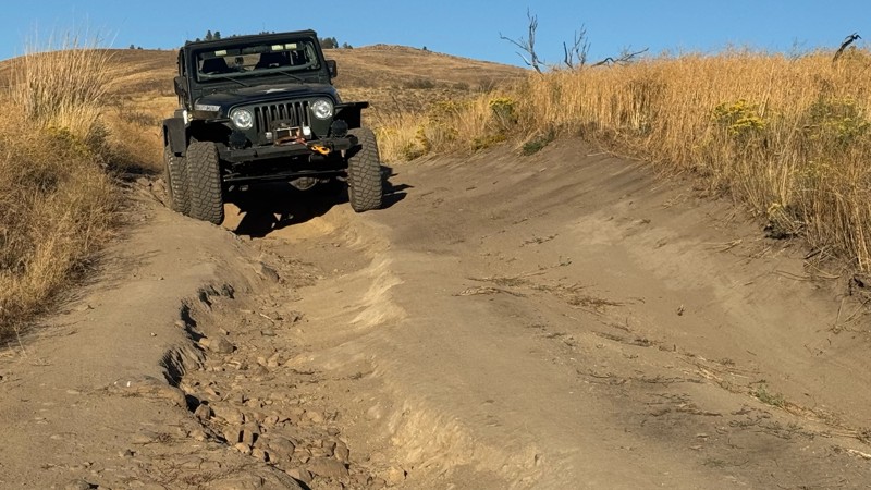
Waypoint 4-5 has changed due to water run off by exposing more rock face and creating deep ruts.
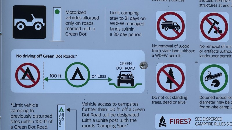
Large flat campsite next to waypoint 4, go straight before making the turn. It is the only site that ...
John Kapelski
Official Crew
Rated 4/5
Open
Visited: 08/28/2026
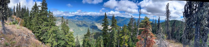
Incredible view on top! Unfortunately saw a group packing up camp on our way up and on our return down they had left lots of trash and a fire still burning during extreme fire danger and burn ban! We ...
J
Jason
Rated 4/5
Open
Visited: 08/20/2026
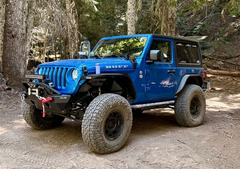
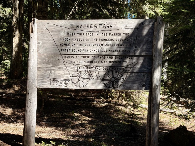
The trail is in great shape minus the section where the bridge is down. Ran into 1 other vehicle a SxS going east we were headed west. At the PCT cabin we talked to 4 through hikers refueling themselv...
CD
Carl Duester
No Rating
Open
Visited: 08/20/2026
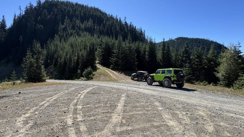
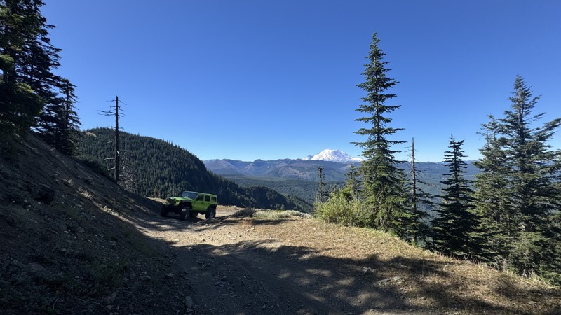
This road system offers continuous views of Mount Rainier to the south while climbing toward the rugged peaks of the northern Cascade Range. This short, enjoyable trail is well worth the few extra mi...
John Kapelski
Official Crew
Rated 3/5
Open
Visited: 08/17/2026
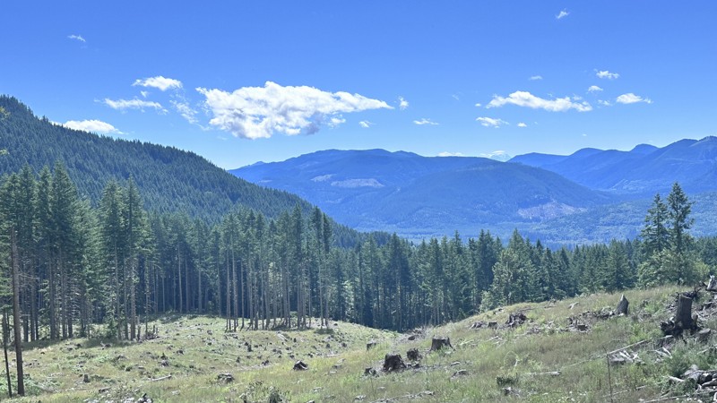
5 Road is exactly that a dirt road. Any 2WD vehicle can easily negotiate this trail. This trail is trailer friendly, but some of the tight turns are not suitable for longer trailers/campers. There are...

Eric Gartin
Official Crew
Rated 5/5
Open
Visited: 08/16/2026
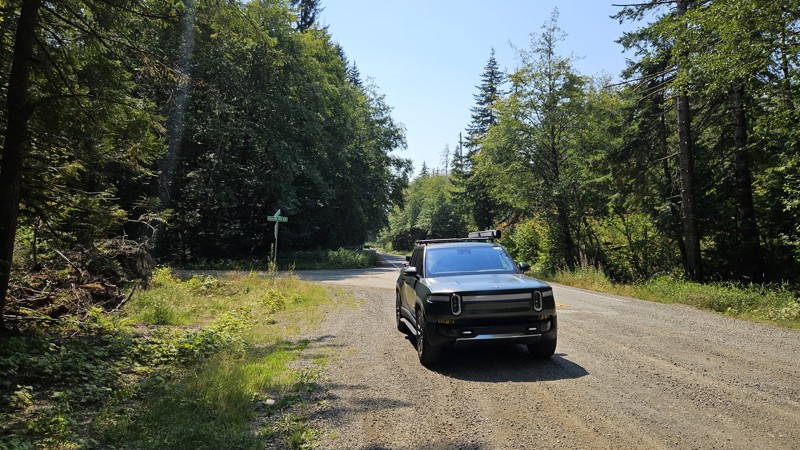
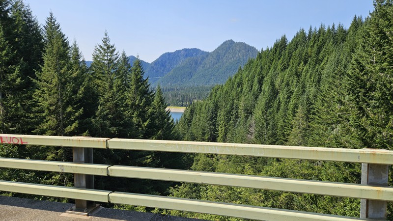
Our trip around the Wynoochee Loop was a mix of incredible scenery and some pretty technical driving. Traveling counterclockwise, we really felt the challenge starting on the final climb to the peak. ...
Ryan Wallace
Official Crew
Rated 5/5
Open
Visited: 08/15/2026
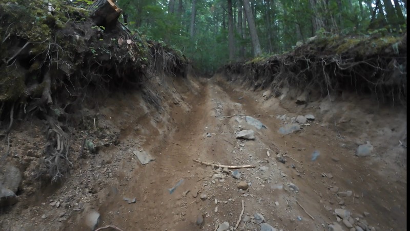
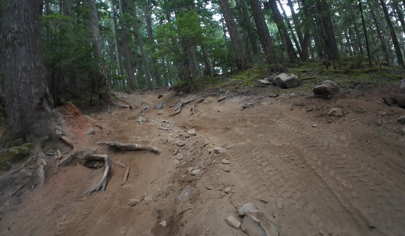
Wonderful day!!!!! Meet a two fellas doing their first trail ever. Shame on me for getting more photos. They had a BLAST!!!!! Hope to see them again.
John Kapelski
Official Crew
No Rating
Open
Visited: 08/11/2026
Per the MVUM, the trail is seasonally open. As always, check current fire restrictions/closures before venturing out.
Trails Offroad
Official Crew
No Rating
Open
Visited: 08/11/2026
Per the MVUM, the trail is seasonally open. As always, check current fire restrictions/closures before venturing out.
Trails Offroad
Official Crew
No Rating
Open
Visited: 08/11/2026
Per the MVUM, the trail is seasonally open. As always, check current fire restrictions/closures before venturing out.
Trails Offroad
Official Crew
No Rating
Open
Visited: 08/11/2026
Per the MVUM, the trail is seasonally open. As always, check current fire restrictions/closures before venturing out.
Trails Offroad
Official Crew
No Rating
Open
Visited: 08/11/2026
Per the MVUM, the trail is seasonally open. As always, check current fire restrictions/closures before venturing out.
Trails Offroad
Official Crew
No Rating
Open
Visited: 08/11/2026
Per the MVUM, the trail is seasonally open. As always, check current fire restrictions/closures before venturing out.
Trails Offroad
Official Crew
No Rating
Open
Visited: 08/11/2026
Per the MVUM, the trail is seasonally open. As always, check current fire restrictions/closures before venturing out.
Trails Offroad
Official Crew
No Rating
Open
Visited: 08/11/2026
Per the MVUM, the trail is seasonally open. As always, check current fire restrictions/closures before venturing out.
Trails Offroad
Official Crew
No Rating
Open
Visited: 08/11/2026
Per the MVUM, the trail is seasonally open. As always, check current fire restrictions/closures before venturing out.

Todd
Official Crew
No Rating
Open
Visited: 08/11/2026
Per the MVUM, the trail is seasonally open. As always, check current fire restrictions/closures before venturing out.
Todd
Official Crew
No Rating
Open
Visited: 08/11/2026
Per the MVUM, the trail is seasonally open. As always, check current fire restrictions/closures before venturing out.
Todd
Official Crew
No Rating
Open
Visited: 08/11/2026
Per the MVUM, the trail is seasonally open. As always, check current fire restrictions/closures before venturing out.
Todd
Official Crew
No Rating
Open
Visited: 08/11/2026
Per the MVUM, the trail is seasonally open. As always, check current fire restrictions/closures before venturing out.
Todd
Official Crew
No Rating
Open
Visited: 08/11/2026
Per the MVUM, the trail is seasonally open. As always, check current fire restrictions/closures before venturing out.
Todd
Official Crew
No Rating
Open
Visited: 08/11/2026
Per the MVUM, the trail is seasonally open. As always, check current fire restrictions/closures before venturing out.
Todd
Official Crew
No Rating
Open
Visited: 08/11/2026
Per the MVUM, the trail is seasonally open. As always, check current fire restrictions/closures before venturing out.
Todd
Official Crew
No Rating
Open
Visited: 08/11/2026
Per the MVUM, the trail is seasonally open. As always, check current fire restrictions/closures before venturing out.
Todd
Official Crew
Todd
Official Crew
Todd
Official Crew
No Rating
Temporary Closure
Visited: 08/11/2026
Closed due to the Sinlahekin fire.
Todd
Official Crew
No Rating
Open
Visited: 08/11/2026
Per the MVUM, the trail is seasonally open. As always, check current fire restrictions/closures before venturing out.
Trails Offroad
Official Crew
No Rating
Open
Visited: 08/11/2026
Per the MVUM, the trail is seasonally open. As always, check current fire restrictions/closures before venturing out.
Trails Offroad
Official Crew
Most Popular

Updated: 09/10/2026
Thru Connector
Snoquera, Washington
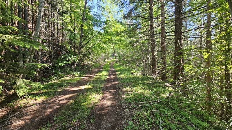
Thru Connector is a straight-through road used to connect to many other roads. The trail is a soft dirt road through heavy forest land with some encroaching undergrowth. On a sunny day, it makes for a gorgeous shaded drive through the woods. One main concern along this drive is downed trees. It is highly advised to carry a saw while traveling this trail. Additionally, a previous mudslide creates a slight off-camber section. The road surface is soft dirt and mud in sections; even after many consecutive hot and dry days. A 4WD vehicle with fairly significant ground clearance will be needed to traverse this road.
There are several wide sections of road that would be suitable for camping, but nothing that looks like an established location that was commonly used.
Updated: 02/13/2026
Olympic National Forest - 2931
Ovington, Washington
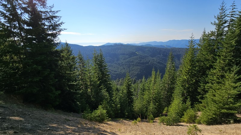
This pretty loop will take you through lush forest roads with distant views when you reach a higher elevation. Unlike most of the roads in this area, you'll loop back very close to your origin, so you won't need to plan much more of the route if you're only looking for a quick trip. The road is nice gravel and decently well maintained, though expect potholes and a few narrow spots as you reach the top of the road near the ridgeline. The route is passable in a 2wd sedan, making it suitable for all vehicles. Coming back down the eastern side you'll get a few narrow brush areas, though nothing to cause concern.
Dispersed camping is limited on this trail. At the very end, when you meet the Sitkum Sol Duc Connector, you'll find a pull-off section big enough for one or two vehicles to make camp for the night.
Updated: 10/15/2024
Mt. Baker Snoqualmie - 7726-310
Buckley, Washington
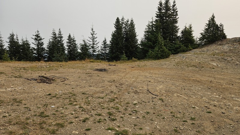
7726 is a short spur with two dead-end legs that boasts a couple of campsites and, during good weather, a glimpse of Mt. Rainier. The road is a little rocky but isn't an issue for a high clearance vehicle, and the terrain is not steep enough to necessitate the need for 4WD. Expect tight brush, making pinstriping likely. The campsites along the road are large and spacious suitable for any camp setup.
Updated: 09/21/2025
Horse Creek
Longmire, Washington
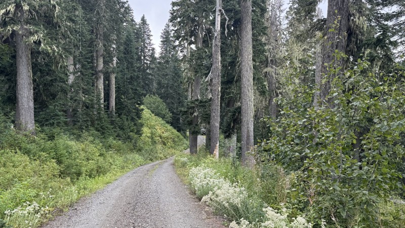
Horse Creek is an out-and-back road that offers a changing character of tracks, shifting from graded stretches to loose gravel, hard-packed dirt, and patches of cobblestone. The lower section is rougher, especially on the climb toward Lake Fizrenken, where rain-cut ruts pose a challenge to low-clearance vehicles. You will find a great campsite at the lake with a 30-foot scramble down to the lakeside. Beyond the lake, the surface gradually evens out, transitioning into smoother gravel and sharper elevation gains. The views get better as you ascend to the high point, especially overlooking the Nisqually River valley.
Descending from the high point to the road end, the brush thickens, and the corridor closes in, which may leave streaks of pinstriping on your rig. The tightest part is just before the end of the trail, where you will find another lovely campsite.
Access to this road is dependent on FS 52 "Skate Creek" seasonal snow closure, snow melt, and road conditions. Contact Cowlitz Valley Ranger District at (360) 497-1100 for closure updates, or check the “Current Conditions” section on the ranger district website.
Updated: 08/10/2026
Pete's Creek Trail
Neilton, Washington
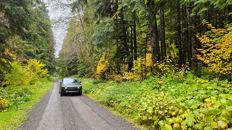
Forest Road 2204, also known as Pete’s Creek Road, winds through a lush stretch of the southern Olympic National Forest. The road surface is mostly well-maintained gravel, making it accessible to nearly all vehicles and an easy drive for beginners, sightseers, and campers. The route is lined with towering evergreens, their dark green canopy broken by clusters of vine maples that blaze with yellows and reds in the fall. Several bridges cross clear, rushing streams, and small waterfalls can be seen tumbling down the mossy hillsides.
The road provides access to multiple trailheads, including Gorge Bridge, Switchback, Pete’s Creek, Middle West Fork Humptulips, and Upper West Fork Humptulips, as well as the Campbell Tree Grove Campground. Both Pete’s Creek and the campground offer pit toilets, although the campground itself is open seasonally from May to September.
Some sites along this road will require a forest pass to visit. Please ensure you've got the appropriate pass before stopping
Updated: 10/15/2024
Grouse Creek Road
Grouse, Washington
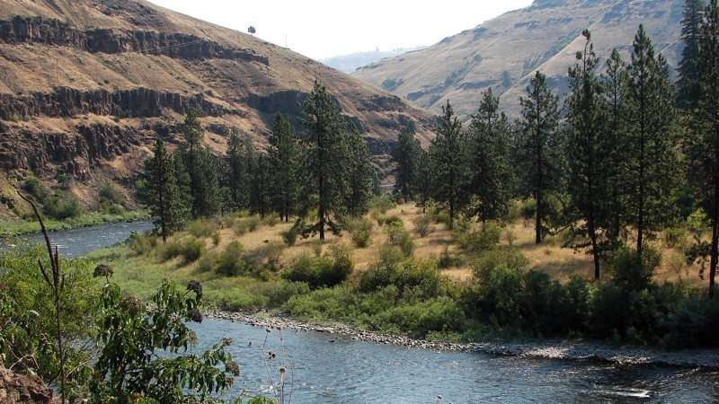
This is canyon country, and Grouse Creek Road provides exemplary views of one of the most scenic canyons in the area. It is a delightful, easy washboarded drive from the Grande Ronde River Road to Bartlett Road. After climbing steeply away from the river, it follows along the river canyon below the ridge line. Because the road is bordered mainly by private property, there are no opportunities for camping.
Much of the road is a single-lane shelf road overlooking green meadows and the canyon of the Grande Ronde. Realize there are severe washboards coming up the grade, dust, and blind curves. Logging trucks may be on the grade, but they turn off onto Grouse Flat Road at the top of the grade. To minimize further washboards, the highway department recommends 4WD up the grade if you have it.
Updated: 12/31/2025
Miners Ridge
Goose Prairie, Washington
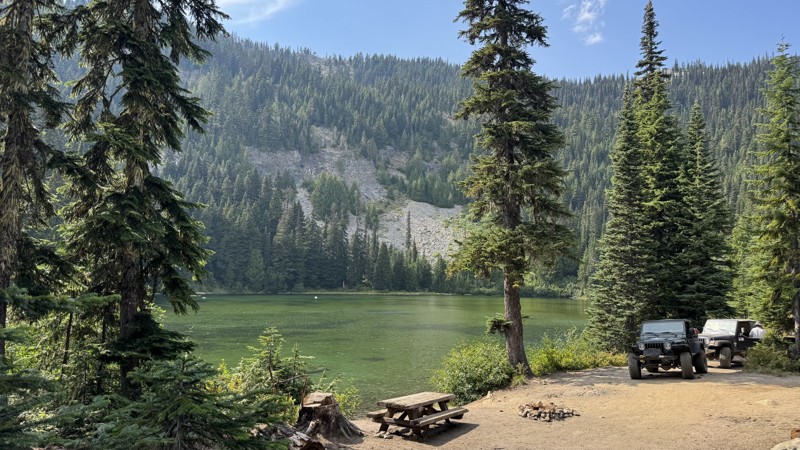
Miners Ridge, just south of Bumping Lake off Forest Road 18, is an easygoing out-and-back that blends shaded forest driving with one of the most scenic lake stops in the area. The road climbs gently past Granite Lake, a crystal-clear alpine gem with four primitive dispersed campsites right along its shore. The two larger sites near the entrance can easily fit groups or multiple rigs, while the smaller tucked-away spots at the far end offer quieter, more private camping. From here, the trail roughens slightly, with the only real obstacle being a bump over an exposed culvert, but nothing most vehicles can’t handle. Beyond the lake, the road narrows and winds its way up toward the ridge, where a sandy climb leads to the summit. The turnaround is small at the very top, but just below is a wide pullout that can hold several vehicles and delivers nearly panoramic views across the Cascades. Between the lakeside camping and the ridge-top vistas, Miners Ridge is the kind of trail that rewards both the casual camper and the weekend explorer.
Updated: 08/11/2026
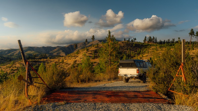
Lone Frank Pass
Conconully, Washington
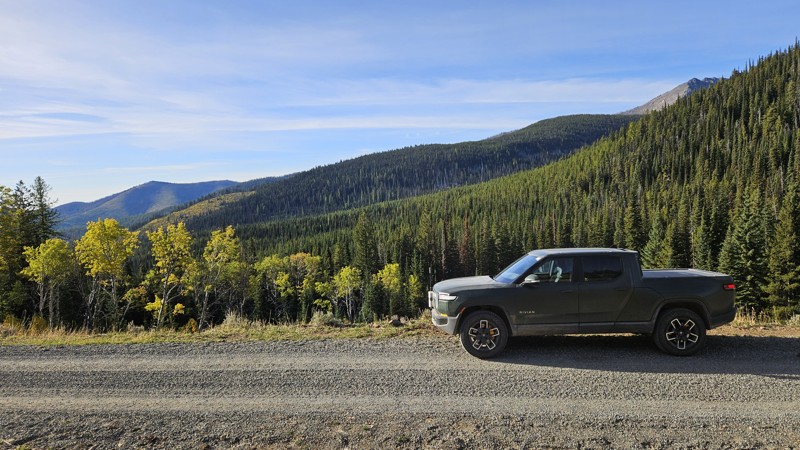
Connecting Salmon Meadows and Meadows-Toats Road, NFD Road 3820 encompasses a portion of the WABDR as you head north toward Canada. This road has the glorious designation of being the highest portion of the WABDR as you cross Lone Frank Pass above 6,700 feet. The southern National Forest section of 3820 is nicely graveled, but at the change to the Loomis Natural Resources Conservation Area, it flips to dirt, gets rocky, and is slightly washed out. Along the drive, you will encounter several hiking trailheads, such as Tiffany Lake, Clark Ridge, and Honeymoon Pass.
Other than the official campground at the southeast end, there are no suitable camping locations along this road, so plan to continue straight through this short stint or stop early if your day gets long.
NFDR 3829 is a portion of section 6 (Conconully to Canada Border) of the Washington Backcountry Discovery Route (WABDR), a scenic 575-mile mostly offroad route from the Oregon state line to the Canadian border.
Updated: 01/15/2026
McKenzie Ridge
Ardenvoir, Washington
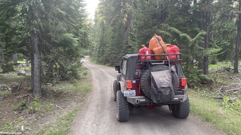
Part of the Washington Backcountry Discovery Route (WABDR), McKenzie Ridge is a scenic, high-country forest road that climbs from the Tieton Basin into the sunlit ridges of the eastern Cascades, offering broad views and peaceful driving through mixed pine and fir forest. The route begins as a graded gravel road and gradually narrows into a winding mountain corridor with sections of loose rock, shallow ruts, and mild washouts that add light technical flavor without requiring advanced skill. Along the upper ridge, the terrain opens up to sweeping vistas of the Cascade foothills and the Yakima Valley, especially striking at sunrise or sunset when the hills glow gold. Although previously, established campsites did not exist along this road, several small clearings and spur roads provide quiet places to take in the view. While accessible to most high-clearance vehicles in dry conditions, McKenzie Ridge’s remote character and changing weather make it best suited for drivers prepared for variable mountain terrain. It’s a rewarding drive that captures the rugged beauty and solitude of Washington’s east-slope forests.
Updated: 10/15/2024
FS-702
Silver Beach, Washington
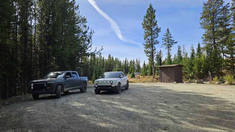
FS-702 is a short connector road between FS-1241 and South Fork Tieton Road. The road is only 2.3 miles and travels through some old-growth forest. There are several dispersed campsites along this road. Some are large group sites are used for elk hunting in the fall. Explore the many branching trails that go off left and right. You will be pleasantly surprised.
Updated: 08/11/2026
Nine Mile Road
Loomis, Washington
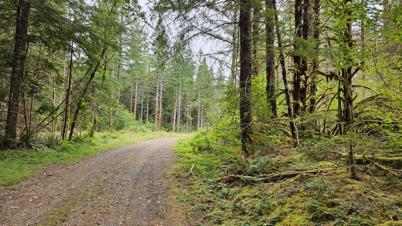
Nine Mile Road is a scenic gravel road that winds through a thick pine forest, leading you to stunning campsites, breathtaking viewpoints, and the start of the Cold Springs Trailhead. It's a smooth, quick drive on a well-maintained gravel path, wide enough for easy passing in each direction without the need for special pullouts. With multiple trailheads and hidden campsites tucked along the way, every mile invites you to pull over, explore, and soak up the incredible wilderness that awaits.
Nine Mile Road encompasses a portion of section 6 (Conconully to Canada Border) and the entirety of the section 6 extension (Cold Springs Viewpoint) of the Washington Backcountry Discovery Route (WABDR), a scenic 575-mile mostly offroad route from the Oregon state line to the Canadian border.
Updated: 10/15/2024
Olympic National Forest - 2923060
Sappho, Washington
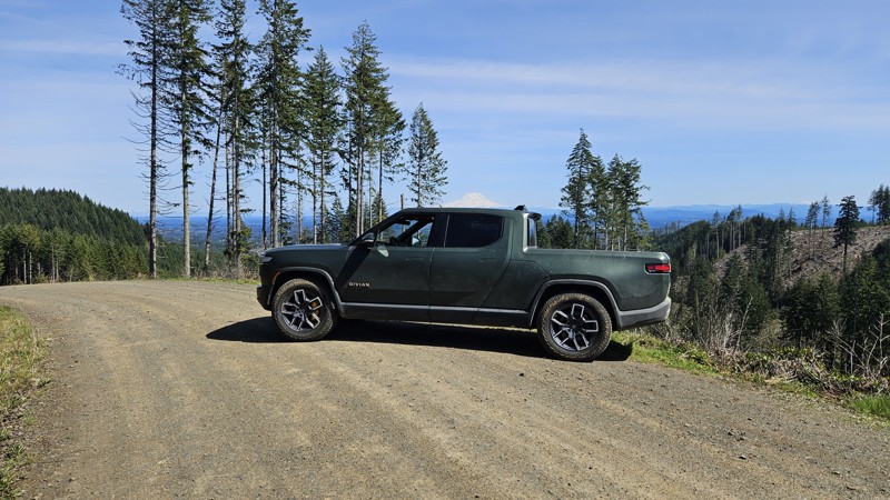
A short spur off of 2923 that boasts a couple of camping spots. One at the very end is pretty secluded and green, and the other is just a widened gravel area where they've blocked off other roads that may still be suitable for hiking. It's flat and graveled but provides a nice quiet drive through a forested area and a good campsite off the road far enough that you likely wouldn't be bothered
Updated: 10/22/2025
D-4000
Bordeaux, Washington
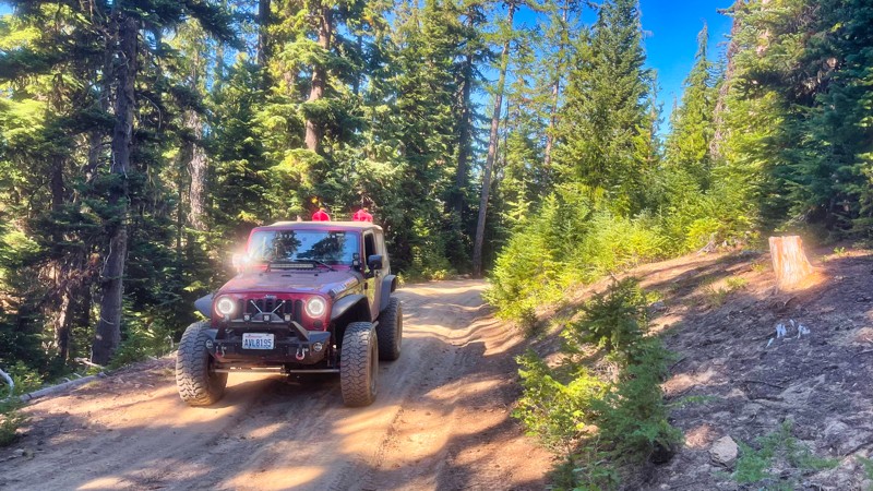
D-4000 is a gravel forest road in Capitol State Forest, running between the C-Line and D-Line roads. It provides access to several trailheads, including Waddell Basin West, McKenny, Lost Valley, and Mima Falls West. It also serves as an entry point to the Sherman Creek Loop from wta.org. The road traverses a mix of second- and third-growth forests, with occasional clearings offering lovely views. On a sunny day, Mt. Rainier will put in an appearance around a few of the turns. D-4000 is subject to seasonal closures and restrictions; notably, recreational target shooting is prohibited along this corridor. The road's condition can vary, with several sections featuring newer gravel and others having potholes or uneven surfaces.
Capitol State Forest can have active logging operations, so be sure to pay attention and watch for heavy machinery and trucks while exploring the forest. There is no dispersed camping allowed in Capitol State Forest; the only camping permitted within the forest is in official campgrounds, so please ensure that you have a plan for that if you need a place to stay for the night.
Capitol State Forest is an 11,000-acre forest packed with roads and trails and specific opportunities for recreational purposes. Please see https://www.dnr.wa.gov/Capitol for up-to-date info and closures relating to this location and any restrictions on activities.
Updated: 08/11/2025
FS-1920-838
American River, Washington
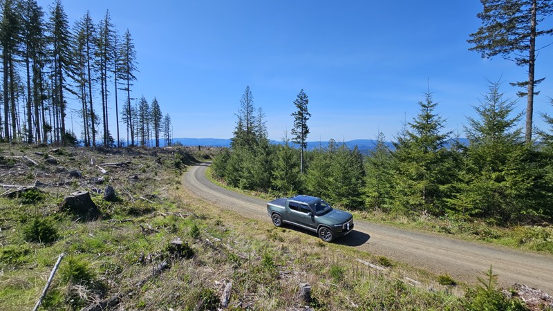
FS-1920-838 is a secondary road branching off FS-1920. The road passes through a small glen and then climbs a ridge to dead end at a small campsite. There are several campsites and stunning views along this road.
Updated: 10/01/2025
D-1000
Cedarville, Washington
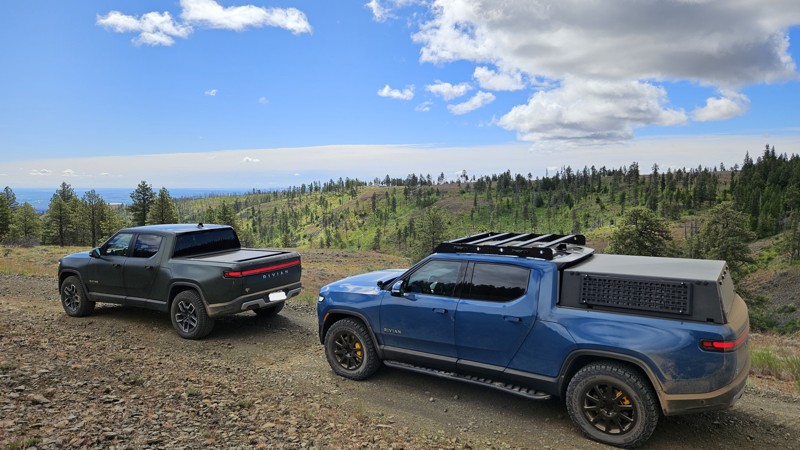
D-1000 runs north and south through Capitol State Forest, linking D-Line and C-Line by way of a narrow, well-used gravel road. While there are no campsites along its length, the road serves as a quiet connector for trail access and scenic riding. At its northern end, D-1000 meets up with Porter Trail, Porter-Tie, Wedekind, and Crestline, offering solid trailhead options for hikers and bikers. For those aiming higher, a junction with D-1500 provides a route up to the summit of Fuzzy Top, a lesser-traveled peak with rewarding views on clear days.
Capitol State Forest can have active logging operations, so be sure to pay attention and watch for heavy machinery and trucks while exploring the forest. There is no dispersed camping allowed in Capitol State Forest; the only camping permitted within the forest is in official campgrounds, so please ensure that you have a plan for that if you need a place to stay for the night.
Capitol State Forest is an 11,000-acre forest packed with roads and trails and specific opportunities for recreational purposes. Please see https://www.dnr.wa.gov/Capitol for up-to-date info and closures relating to this location and any restrictions on activities.
Updated: 10/15/2024
Cross Over Road
Sunland Estates, Washington
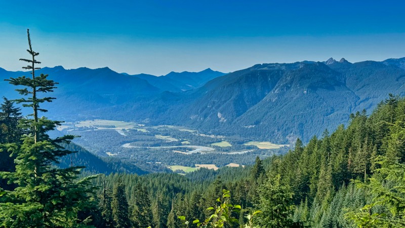
Cross Over Road is a short dead-end off-shoot from Beacon Road that sports at least six camping locations. There are several spectacular views as you traverse this gentle drive along the side of a ridge for the first mile or so. About 2.5 miles in, you'll find a nice wide open area suitable for a large group to camp. This was originally a split in the road where Brushy Road headed Southeast and Cross Over Road continued northwest. However, Brushy Road has permanently been closed at 47.15405, -120.23189 to anything except authorized vehicles. Users should always be aware of posted signage and check the Green Dot maps for the legal roads.
Cross Over Road is mostly graded dirt with a few ruts and rocks. The most difficult portion is an 8-10" drop that might give some vehicles pause but can easily be traversed with a little care. The trail dead-ends at 3.6 miles and is closed for wildlife range protection, though you will find several more campsites in this area.
Green Dot Roads are a collaboration between DNR, the Washington Department of Fish and Wildlife, and private landowners to provide opportunities for dispersed recreation such as camping, hunting, off-road vehicle riding, and wildlife viewing. Green Dot roads are the legal motorized routes and marked with a round green reflector on a white route marker. You can find current mappings that will include seasonal and other closures at https://wdfw.wa.gov/about/wdfw-lands/green-dot. A Discover Pass is required for portions of DRN land that are included in Green Dot road maps.
Updated: 06/10/2025
Siler Roberts
Cora, Washington
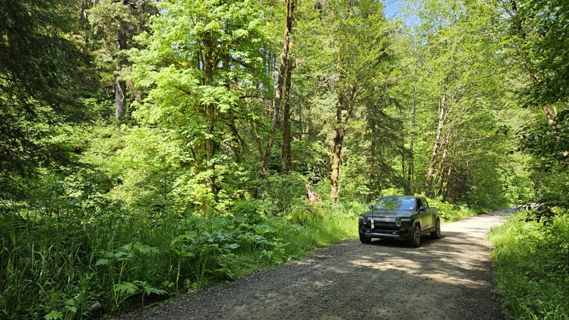
FS-5500, commonly known as Siler Roberts, is a 13.5-mile forest service road situated in the Gifford Pinchot National Forest. This road provides access to Lone Tree Lake and Lone Tree Mountain, offering stunning vistas into the surrounding valleys and Mt. Adams in the East. As it ascends 2,000 feet through lush old-growth forests, be prepared for some shelf-road sections in certain spots. There are a few camping spots along the road, but there are many side spur-roads that will probably provide even better camping.
Updated: 09/22/2025
B-1000
Porter, Washington
B-1000 is a gravel forest road in Capitol State Forest that runs roughly east-west, parallel to portions of the Larch Mountain and Twin Peaks ATV trails. It serves as an access route for recreational vehicles and connects directly with the Capitol Peak ATV trail at its eastern end. The road is moderately narrow, with some minor elevation changes and dense forest coverage along much of its length. Trail crossings are common, even with only a couple of official intersections, so users should be cautious of ATV traffic, especially near intersections.
Capitol State Forest can have active logging operations, so be sure to pay attention and watch for heavy machinery and trucks while exploring the forest. There is no dispersed camping allowed in Capitol State Forest; the only camping permitted within the forest is in official campgrounds, so please ensure that you have a plan for that if you need a place to stay for the night.
Capitol State Forest is an 11,000-acre forest packed with roads and trails and specific opportunities for recreational purposes. Please see https://www.dnr.wa.gov/Capitol for up-to-date info and closures relating to this location and any restrictions on activities.
Updated: 12/11/2024
Funk Mountain
Conconully, Washington
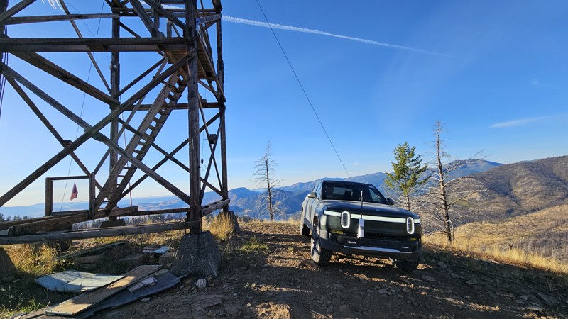
Funk Mountain is a short, dead-end spur off the main WABDR route, offering stunning views from an extra-tall lookout tower. The drive to the tower starts easy and progressively gets rougher, with the roughest section just before the summit. 4WD and a little extra clearance will be needed to traverse the exposed rocks and a small off-camber rock climb underneath the tower's stabilizing cables. Narrowly surviving the 2021 Muckamuck fire, Funk Mountain Lookout is one of the oldest lookouts in the northwest, first established as a crow's nest tree platform in 1914. In 1935, an L-5 ground cab was added and then replaced in 1943 by the current L-4 cab with a catwalk. Used sporadically until 2000, the platform is still open to the public for those not afraid of heights. Extreme caution should be used as you climb the extra steep, deteriorating stairs to the lookout tower, and enjoy the beautiful scenery.
Updated: 12/11/2024
Meadows-Toats Road
Chopaka, Washington
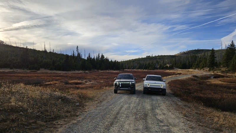
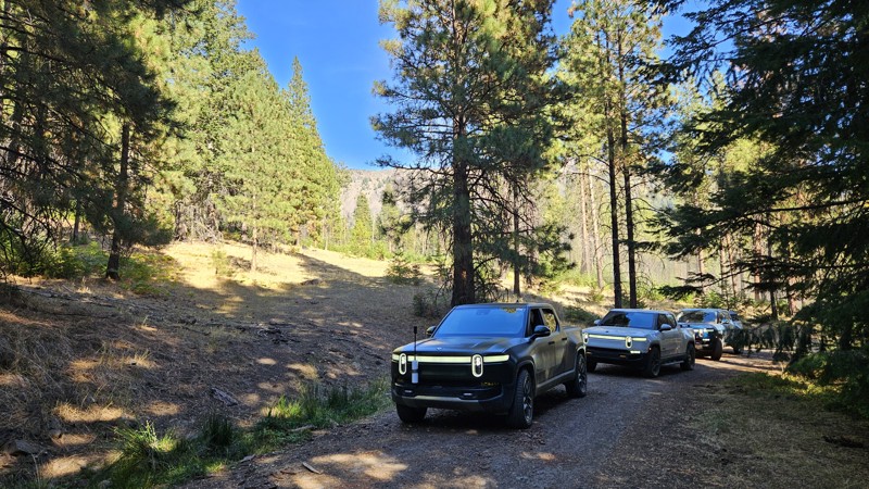
Road 39 runs north to south from the Windy Peak trailhead to NFD Road 37. It encompasses a small portion of the WABDR route between Thunder Mountain and Tiffany Springs. It's an easy gravel and dirt road with amazing views and elevation. There are many campsites along the road, including Tiffany Springs Campground if you're looking for something a little more established.
This road offers many opportunities for more adventures. Much of the road is open to cattle grazing, so expect to find some bovine friends during parts of the summer and evidence of their visit even when they're not around. Lots of hiking trails start from 39, and it's just a short walk up a decommissioned road to Corral Butte.
A portion of Meadows-Toats Road is part of section 6 (Conconully to Canada Border) of the Washington Backcountry Discovery Route (WABDR), a scenic 575-mile mostly offroad route from the Oregon state line to the Canadian border.
Updated: 10/29/2024
Pine Creek
Rimrock, Washington
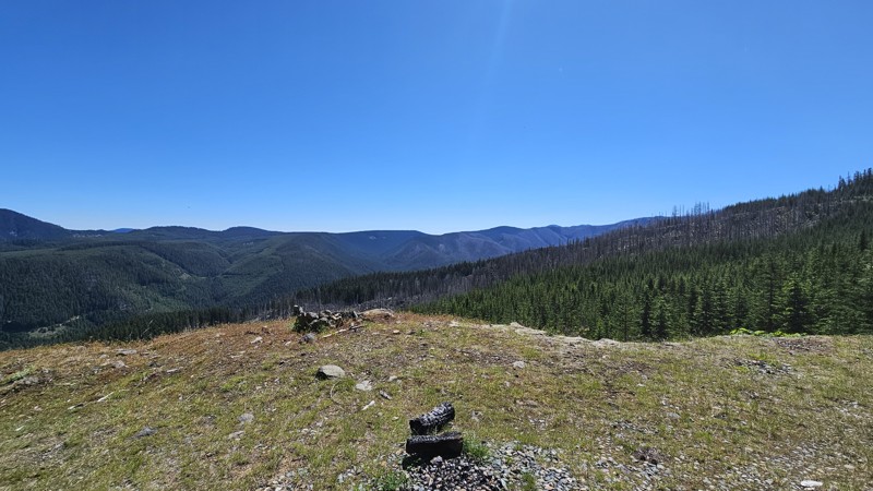
Pine Creek is a short, easy gravel bypass for a portion of the WABDR that boasts a couple of campsites and an alternate route to the Tieton Pond campground. It starts directly off SR 12 near Hause Creek campground, next to a small open spot on the Tieton River, where you can take a quick break before heading up the trail. The trail loops around Tieton Pond and connects to NF-1500, where you can continue north along part of the Washington Cascade Overland Route.
Updated: 12/30/2025
Little George
Snoquera, Washington
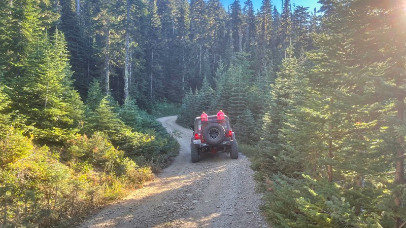
Little George is a 4-mile spur with a couple of camping spots and pretty views. The trail is not overly traveled, so there are a few locations where the foliage kisses the vehicle as you drive through, but pinstripes just tell the story of these adventures! The end of the road is a turnaround spot large enough for a decent group to camp, but there is not much level ground for ground-based tents.
There are beautiful overlooks along the route, and the scars from a previous fire are visible in the trees as you look over the valley.
Updated: 10/15/2024
FS-1920-827
American River, Washington
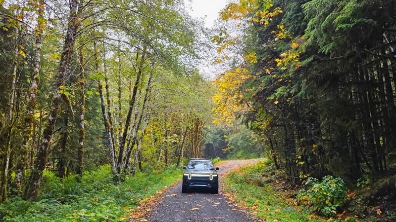
FS-1920-827 branches out from FS-1920 and is a very short road that leads to a really nice camping site. There really aren't any views since the forest is thick here. The trail gets pretty narrow with some branches doing some pinstriping.
Updated: 11/07/2025
Newbury Creek
Neilton, Washington
Newbury Creek Road (Forest Road 2204) is an easy, well-maintained gravel road winding through the quiet forest of the southern Olympics. It’s flat and gentle, making it ideal for beginners, casual drives, or anyone looking to enjoy the scenery without much challenge. The forest is dense with evergreens and dotted with bright vine maples that bring bursts of yellow and gold in the fall. Some of the best color sits just back from the roadside, creating a layered depth that feels unique to the season.
A few small campsites and short dead-end spurs along the way offer options for quiet camping or exploring. The road passes several small waterfalls and crosses a couple of lovely bridges, adding variety to an otherwise calm, enclosed drive. Even on a rainy day, the forest feels inviting, with light breaking through the canopy in occasional clearings. Some sites along this road will require a forest pass to visit. Please ensure you've got the appropriate pass before stopping.

Upgrade your Membership
Unlock all of the details on every Trail Guide and Scout Route.
Start a 7-day Free TrialCommunity
Partners

