Region

Sand Hollow

Utah

Offroad Trails in Sand Hollow

A Region within Utah
4.3/5 (152)

Disneyland for Wheelers!

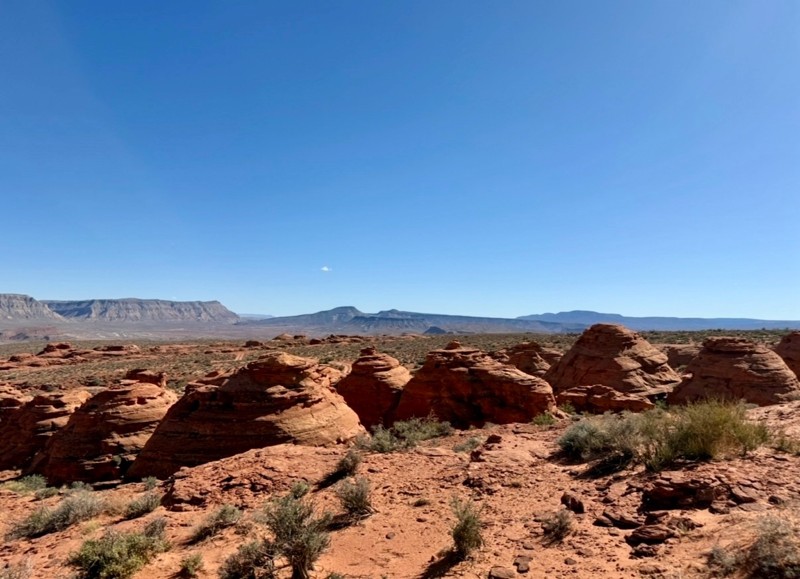
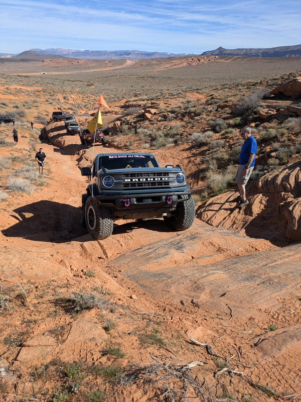
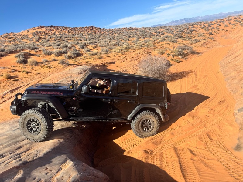
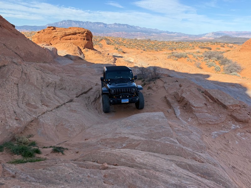
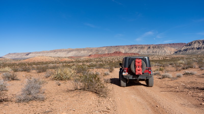
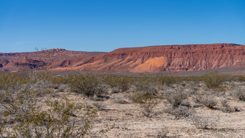
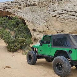
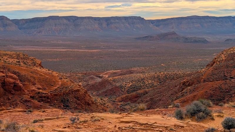
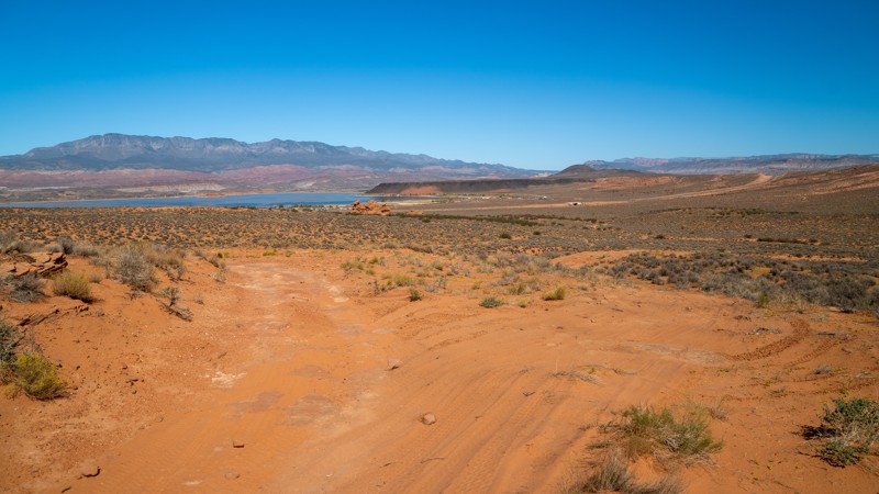
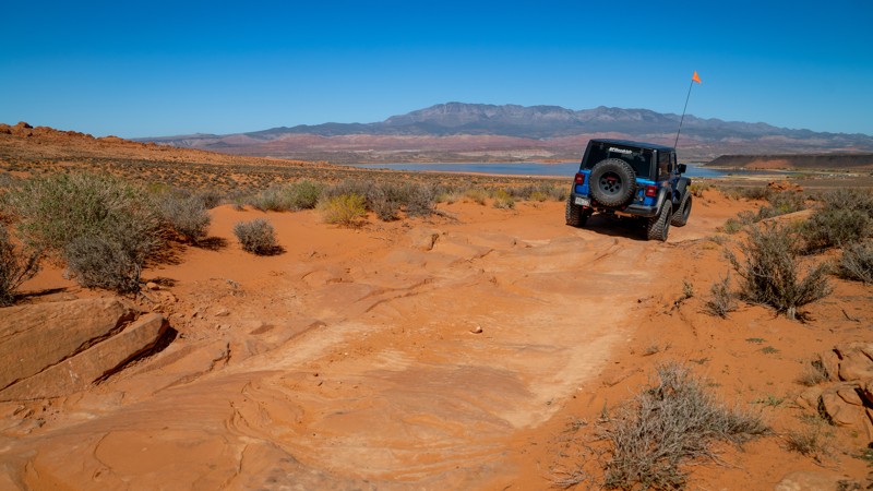
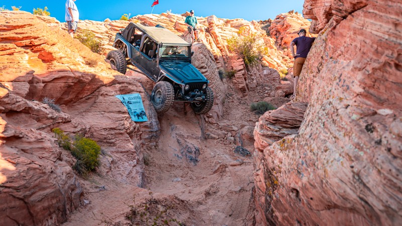
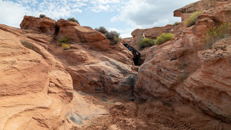
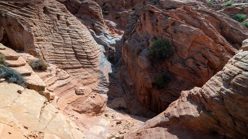
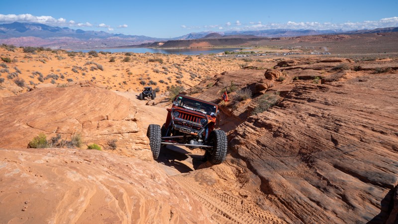
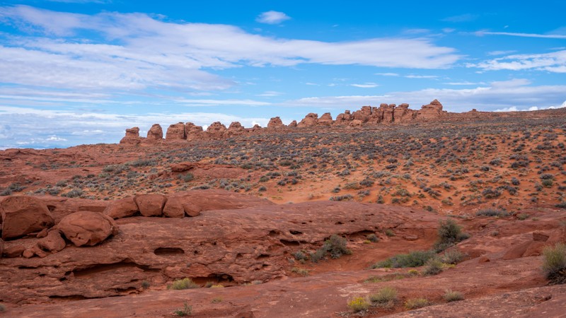
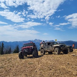
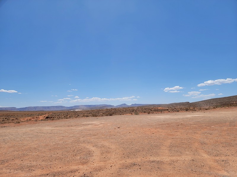
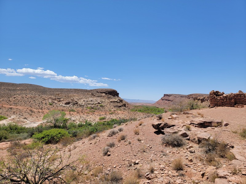
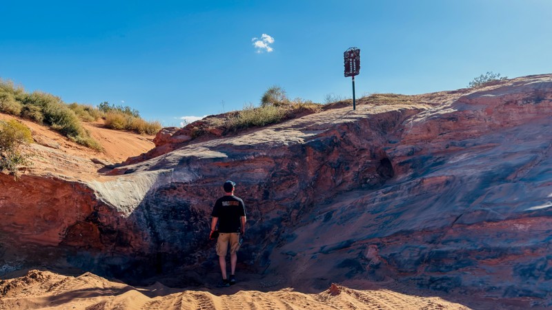
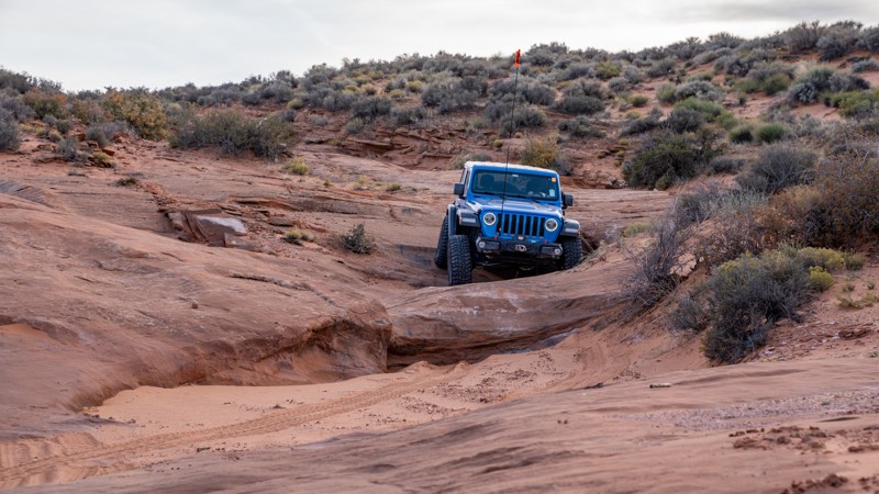
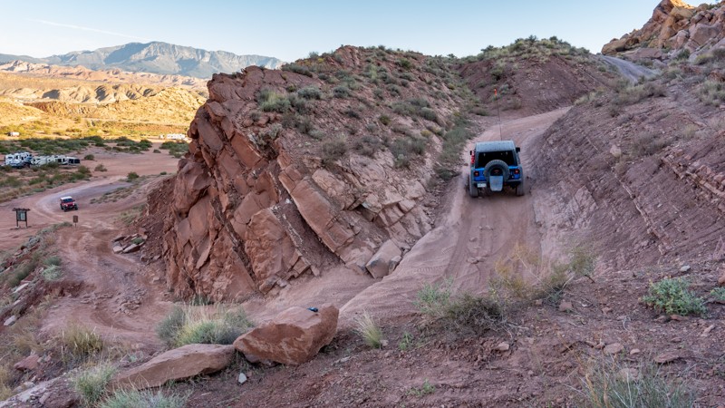
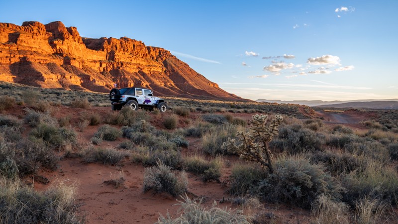
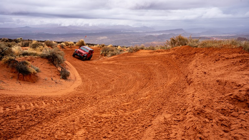
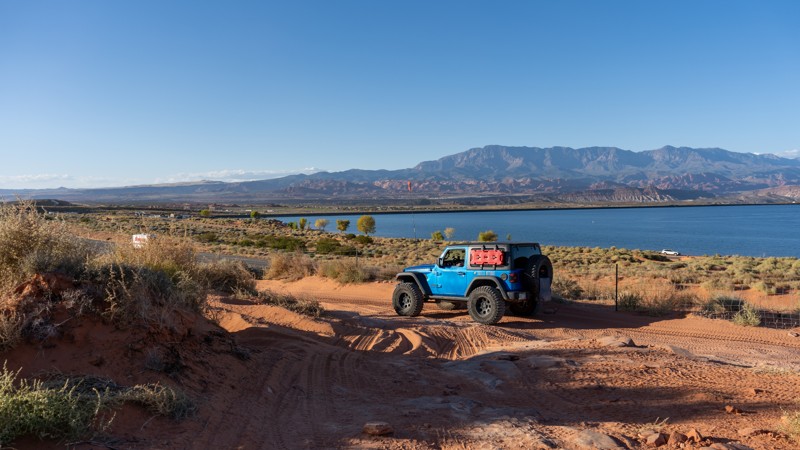
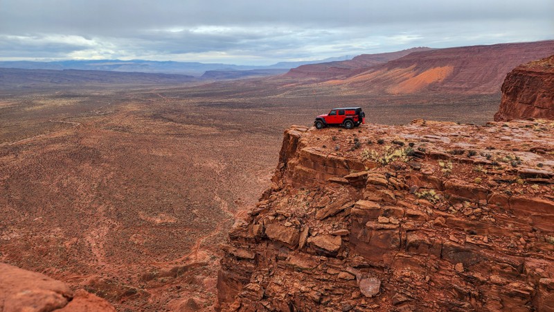
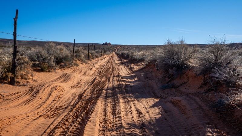
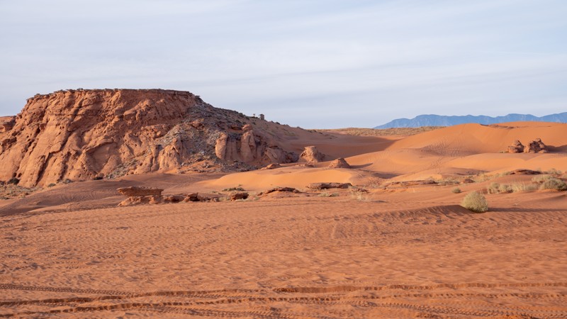
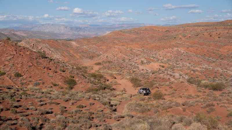
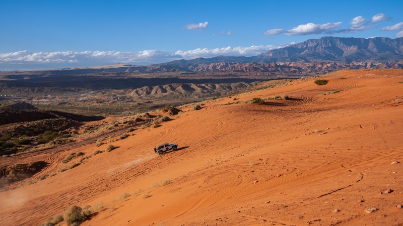
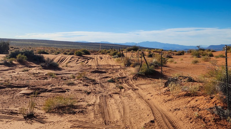
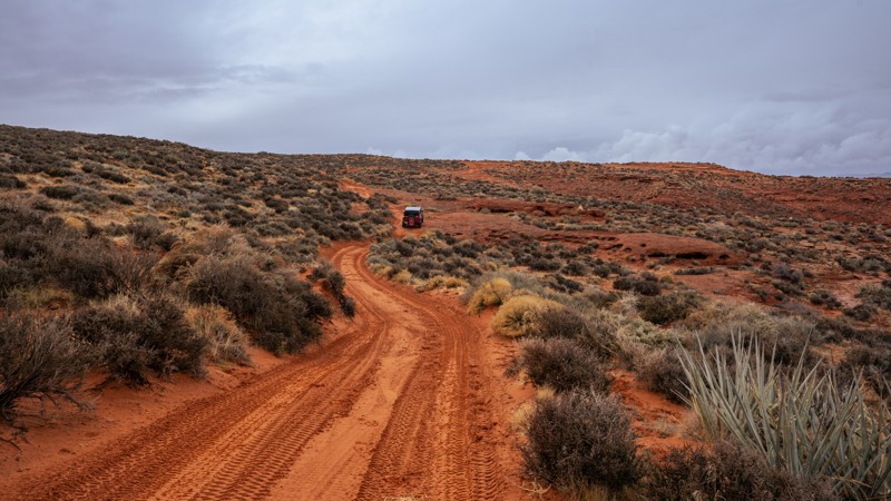
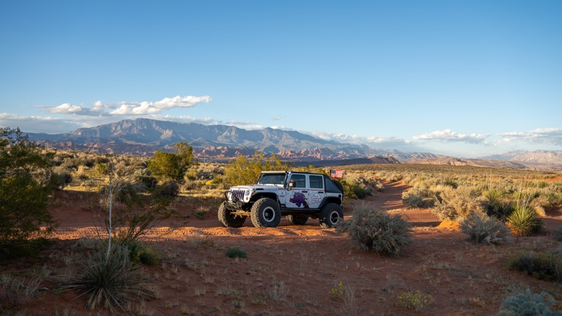
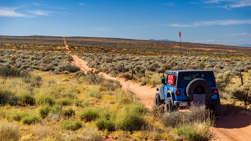
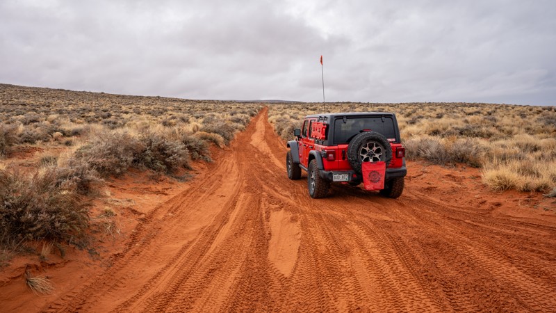
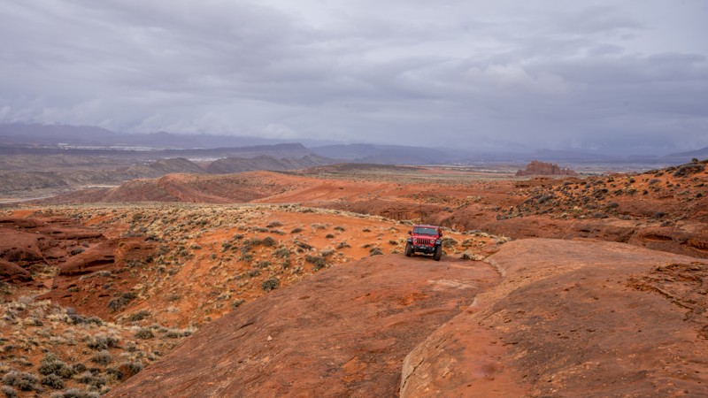
Sand Mountain OHV Area, adjacent to Sand Hollow State Park, might be the happiest place on earth if you are an off-roader. This sprawling 20,000-acre landscape of red sandstone and rolling sand dunes has become a must-see destination for offroad enthusiasts nationwide. With the incredible backdrop of bright burgundy sand, blue waters of Sand Hollow Reservoir, and intriguing rock formations everywhere the eye can see, the scenery is just icing on the cake for an area covered with limitless opportunities to test your driver skills and your vehicle’s capabilities. This southern Utah plateau offers trails in every difficulty category, from easy dirt roads to the gnarliest buggy climbs you have ever seen.

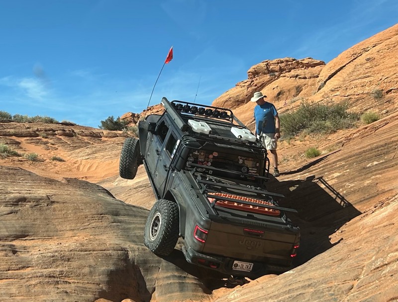
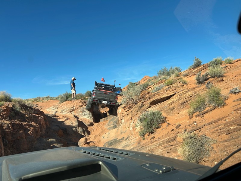
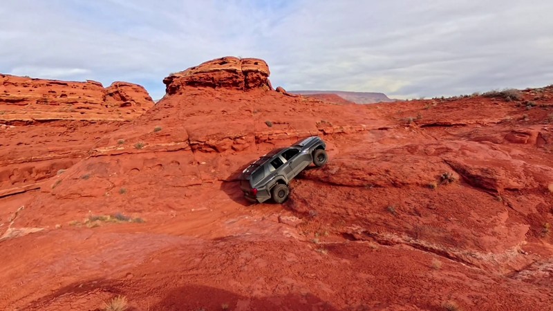
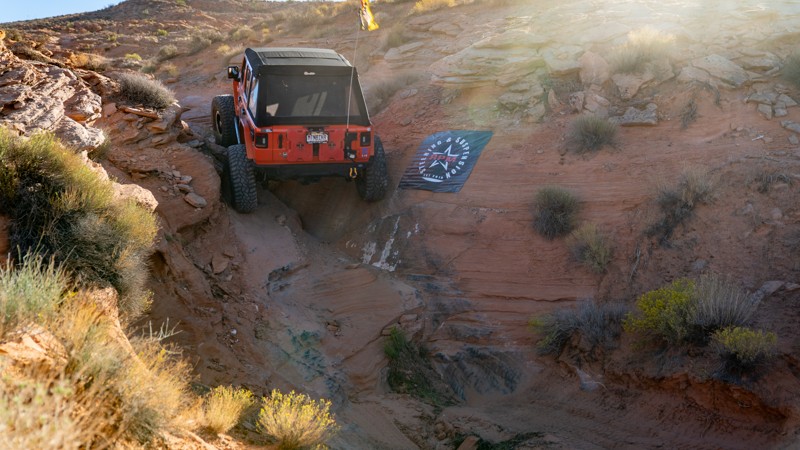
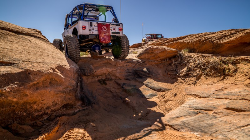
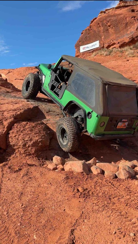
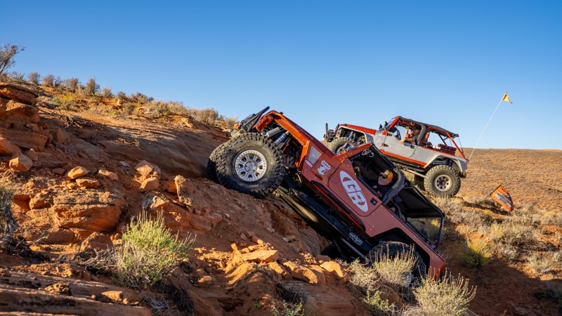
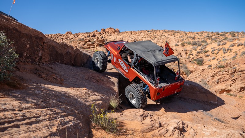
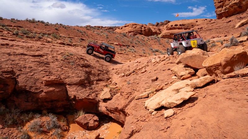
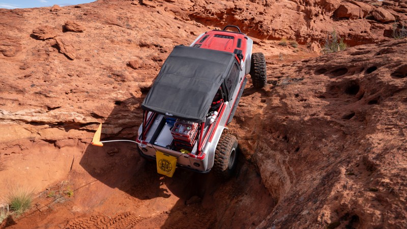
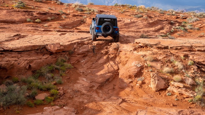
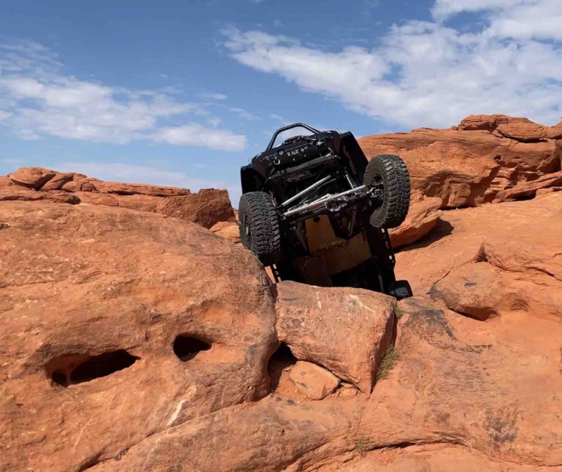
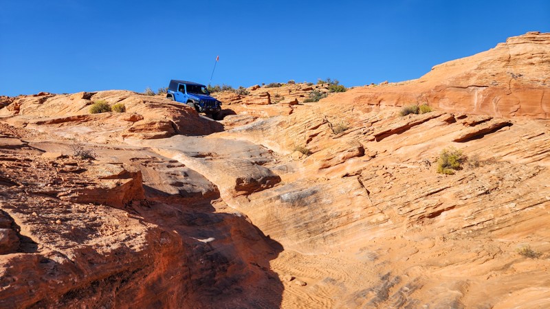
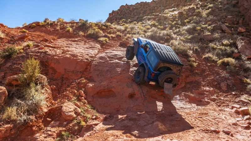
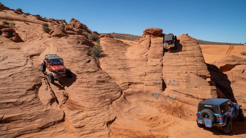
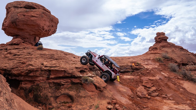
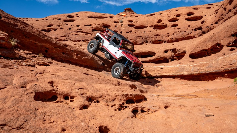
Although you don’t need an extreme rock crawler to enjoy the Sand Hollow trails, it truly does cater to those willing to test limits and boundaries. The sandstone gives your tires an insane amount of grip, making impossible-looking climbs seem far too easy. Seeing black rubber along a shear, straight-up wall is the norm here. If you come from an area of the country where wheel speed is the key to success, that technique will be your demise on the rocks in Sand Hollow. Obstacles here can be crawled with minimal effort or by giving a ledge the occasional “bump.” If speed is your thing, the dunes are a perfect place to open up the throttle and toss some rooster tails.

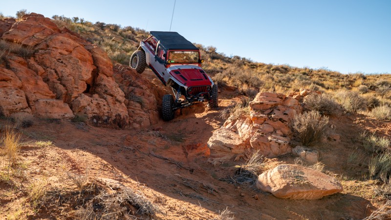
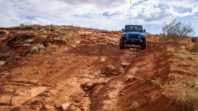
If you run into an obstacle you simply aren’t comfortable with, don’t worry; The entire area is designated as an open OHV area, meaning you can choose any line or route you see fit. That is another big draw to the area. Nearly all of the trails across the mountain offer optional obstacles that can be bypassed, making this destination a great choice for groups of varying skill levels. Hardcore riders can take on a wicked obstacle while your buddy in his brand-new stock truck watches and enjoys from a path of his own, only feet away.

Whether you come to shred some dunes, crawl some rocks, or enjoy the scenery, the offroad playground of Sand Mountain has an adventure waiting for you.

Top Reasons to Explore Here

Basemaps
Go All-Access to Unlock


TRAILS OFFROAD™ TRAIL TYPES
Trail Guide
Full detailed write up with Advanced Rating System, Waypoints, Video, and more.
Scout Route
Lite version with highlights, camping, and hardest part documented. Vetted in person.
TRAIL DIFFICULTY RATINGS
easy (1-2)
Suitable for high clearance 2WD
moderate (3-4)
Best suited for a high clearance 4x4
difficult (5-6)
Best suited for a lightly modified 4x4
severe (7-8)
Best suited for a highly modified 4x4
extreme (9-10)
Best suited for specialized buggy type vehicles
LAYERS

Most Recent Trail Reviews

Most Popular

Search for Trails
Utah: The Fallen Access Hero Photo
Scout Route Icon
4.3/5 (3 reviews)
Updated: 09/04/2025

The Fallen Access

Washington, Utah

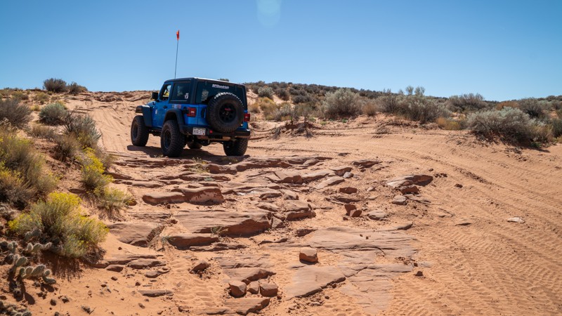
The Fallen Acess is a rocky and challenging connector road between Sand Dune Way and East Fenceline Road. This trail intersects and crosses many popular trails within the Sand Mountain OVH area but is primarily used to access "The Chute" obstacle at the top of Double Sammy and the beginning of The Fallen trail. From the west, the trail starts as an easy trek through soft sand with occasional protruding slickrock and slowly transitions to wavy slabs of petrified dunes. After passing Double Sammy and Papa Smurf, the trail slows to constant crawl speeds and increases in difficulty substantially as you negotiate constant undulating rock, steep drops, and minor off-camber situations. Good suspension articulation, skid plates, and rocker protection are certainly needed for this trail. The trail can be run in either direction and is the same difficulty either way. This trail best suits experienced drivers in modified vehicles with larger tires.

About Sand Mountain

Sand Mountain is an extremely unique parcel of public land. Designated as an Open OHV Area, riders are free to make their own trails. Due to this, many of the long-established named trail routes have several variations that can take easier or more challenging routes through the intended trail. The GPX track for this trail helps you navigate the area, but various lines, bypasses, and additional obstacles may exist along the way. Riders are encouraged to stay on existing trails and not unnecessarily drive over or destroy vegetation.

Fees

Riding on Sand Mountain is entirely free. However, there are multiple entry/exit points for the area, including "the tunnel," which connects Sand Hollow State Park to the open OHV area. Any entry into the boundaries of Sand Hollow State Park requires a Utah State Park Pass.

Requirements

When operating on Sand Mountain, users must attach an orange or red safety flag to the vehicle, rising at least 8 feet off the ground.
Utah: Chutes and Ladders Hero Photo
Scout Route Icon
0/5 (1 reviews)
Updated: 11/04/2024

Chutes and Ladders

Washington, Utah

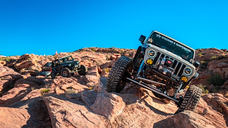
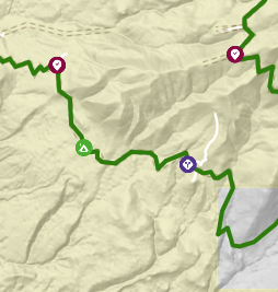
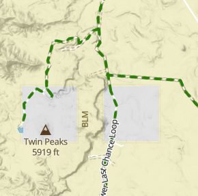
Chutes and Ladders is an extreme offroad trail in the western part of the Sand Mountain OHV Area. Constant walls, twists, wedges, and ledges line this thrilling challenge. Full-bodied rigs need not apply to this one; body damage would be inevitable. If you are looking for a challenge for your buggy, this would be an excellent place to start. Its proximity to the parking lot makes this even better, so if you break, it is just a short jaunt back to your trailer.

About Sand Mountain

Sand Mountain is an extremely unique parcel of public land. Designated as an Open OHV Area, riders are free to make their own trails. Due to this, many of the long-established named trail routes have several variations that can take easier or more challenging routes through the intended trail. The GPX track for this trail helps you navigate the area, but various lines, bypasses, and additional obstacles may exist along the way. Riders are encouraged to stay on existing trails and not unnecessarily drive over or destroy vegetation.

Fees

Riding on Sand Mountain is entirely free. However, there are multiple entry/exit points for the area, including "the tunnel," which connects Sand Hollow State Park to the open OHV area. Any entry into the boundaries of Sand Hollow State Park requires a Utah State Park Pass.

Requirements

When operating on Sand Mountain, users must attach an orange or red safety flag to the vehicle, rising at least 8 feet off the ground.
Utah: Sampsonite Hero Photo
Scout Route Icon
2.5/5 (3 reviews)
Updated: 01/06/2026

Sampsonite

Washington, Utah

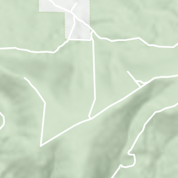
Sampsonite is a newly designated trail that snakes its way up and down many washes like a wet spaghetti noodle. The trail is located in the eastern half of Sand Mountain, traveling between Wayne's World and the east fence line. Sampsonite is not well-traveled and can be hard to follow at times as you traverse through soft sand and past dense sagebrush. Numerous slickrock ledges exist, ranging from a few inches to several feet in size. A number of slickrock humps protrude out of the sand, creating tough breakover angles for small-tire vehicles or vehicles without a lift. The trail can be run in either direction and is roughly the same difficulty either way. Although not difficult, this trail is not recommended for stock vehicles. A lift and larger tires are required simply due to the breakover angles needed to traverse most obstacles. If you are not comfortable with undercarriage scraping, you should avoid this trail.

About Sand Mountain

Sand Mountain is an extremely unique parcel of public land. Designated as an Open OHV Area, riders are free to make their own trails. Due to this, many of the long-established named trail routes have several variations that can take easier or more challenging routes through the intended trail. The GPX track for this trail helps you navigate the area, but various lines, bypasses, and additional obstacles may exist along the way. Riders are encouraged to stay on existing trails and not unnecessarily drive over or destroy vegetation.

Fees

Riding on Sand Mountain is entirely free. However, there are multiple entry/exit points for the area, including "the tunnel," which connects Sand Hollow State Park to the open OHV area. Any entry into the boundaries of Sand Hollow State Park requires a Utah State Park Pass.

Requirements

When operating on Sand Mountain, users must attach an orange or red safety flag to the vehicle, rising at least 8 feet off the ground.
Utah: Queens Court Hero Photo
Scout Route Icon
4/5 (1 reviews)
Updated: 04/27/2025

Queens Court

Hurricane, Utah

Close to the Arizona border in an area known as the backside of Sand Hollow, Queens Court is a newer trail with entirely different qualities from any other in Sand Mountain. Queens Court is a technical, boulder-strewn 3.5-mile loop with countless diff-catching rocks, small ledges, steep and loose climbs, birds-eye Arizona Strip views, and almost completely absent of any sand. The farther into this trail you travel, the more difficult it becomes. The trail does not offer bypasses for the major obstacles, and there are no winch points for self-recovery.

The trail starts on the eastern end of Warner Valley with large, open, dispersed camping opportunities. Queens Court is best run in the counter-clockwise direction around both loops. The first loop is a mild taste of what you will encounter later in the trail, with a small stair-step ledge. The second obstacle, named left hook, is a two-part obstacle starting with a v-notch ledge, up to a landing, and then a hard left turn up a steep, 36-degree slickrock slab with an uncomfortable amount of off-camber lean. Long-wheelbase vehicles will find the slab easier to climb than short-wheelbase vehicles. The trail climbs a loose boulder-infested hill with moving basketball-sized rocks before finishing the first loop.

The second loop starts with small obstacles and various lines at "The Ledge," where you drop a short cliff into a narrow-cut wash. The canyon then comes to a pinch-point obstacle with no bypasses known as "The Slot." This obstacle will beat on rock sliders and requires careful tire placement to negotiate. The trail then turns south, and heads through Diff Buster Canyon, a time-sucking natural drainage with endless boulders of every shape and size and several 2-3 foot ledge climbs. You are then rewarded with amazing views of the Arizona border as you gaze out across Warner Valley. Drivers will then need to traverse two simultaneous 4-foot drops, the second of which is on the cliff edge, with little room for error. These drops are where the trail earns its highest rating. You then finish the loop with ease and return to where you started.

This trail best suits modified vehicles with lifts, larger tires, skid plates, rocker protection, and locking differentials. 35s should be considered a minimum tire size, with 37s being helpful with long wheel-base vehicles.


About Sand Mountain

Sand Mountain is an extremely unique parcel of public land. Designated as an Open OHV Area, riders are free to make their own trails. Due to this, many of the long-established named trail routes have several variations that can take easier or more challenging routes through the intended trail. The GPX track for this trail helps you navigate the area, but various lines, bypasses, and additional obstacles may exist along the way. Riders are encouraged to stay on existing trails and not unnecessarily drive over or destroy vegetation.

Fees

Riding on Sand Mountain is entirely free. However, there are multiple entry/exit points for the area, including "the tunnel," which connects Sand Hollow State Park to the open OHV area. Any entry into the boundaries of Sand Hollow State Park requires a Utah State Park Pass.

Requirements

When operating on Sand Mountain, users must attach an orange or red safety flag to the vehicle, rising at least 8 feet off the ground.
Utah: Ridgeline Hero Photo
Scout Route Icon
4.2/5 (4 reviews)
Updated: 04/24/2026

Ridgeline

Washington, Utah

Located along the western edge of Sand Mountain, Ridgeline is a short, steep, and rocky climb connecting Long Valley to West Rim. Ridgeline starts heavy, climbing immediately and gaining 100 feet in elevation in the first 300 yards of the trail. The trail snakes its way up the ridge, traversing several 1-2 foot ledges that will require good tire placement to avoid tire slippage and undercarriage damage. The trail is only 1.5 vehicles wide along the first 100 yards, and users should be cautious of potential washouts along the downhill side after heavy rain events. After making a hard, rutty turn, you quickly approach the trail's most difficult obstacle, a steep, 6-foot slickrock slab that pitches your vehicle to nearly 40 degrees vertical. This obstacle requires momentum as it is often covered in a thin film of sand and dirt. The trail then passes both ends of Razorback before becoming significantly easier as you make your way up and down several sandy hills. This trail is a great trail for beginners to test their skills and gain confidence with their vehicle. Stock vehicles will likely struggle on this trail, especially without skid plates or rocker protection, but any high clearance 4WD vehicle with larger than stock tires should be able to complete the trail with minor heartburn.

Abundant primitive dispersed camping exists at the start of this trail within Long Valley. Numerous large open areas have room for groups or large RV's. Be cautious when accessing these sites, as there are many patches of soft sand that can burry tires quickly.

About Sand Mountain

Sand Mountain is an extremely unique parcel of public land. Designated as an Open OHV Area, riders are free to make their own trails. Due to this, many of the long-established named trail routes have several variations that can take easier or more challenging routes through the intended trail. The GPX track for this trail helps you navigate the area, but various lines, bypasses, and additional obstacles may exist along the way. Riders are encouraged to stay on existing trails and not unnecessarily drive over or destroy vegetation.

Fee

Riding on Sand Mountain is entirely free. However, there are multiple entry/exit points for the area, including "the tunnel," which connects Sand Hollow State Park to the open OHV area. Any entry into the boundaries of Sand Hollow State Park requires a Utah State Park Pass.

Requirements

When operating on Sand Mountain, users must attach an orange or red safety flag to the vehicle, rising at least 8 feet off the ground.
Utah: Pipeline Road Hero Photo
Scout Route Icon
5/5 (2 reviews)
Updated: 07/02/2026

Pipeline Road

Washington, Utah

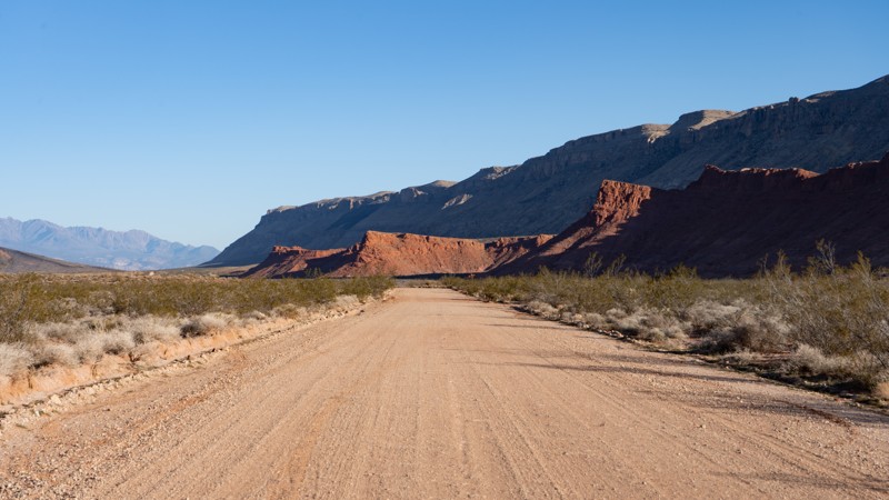
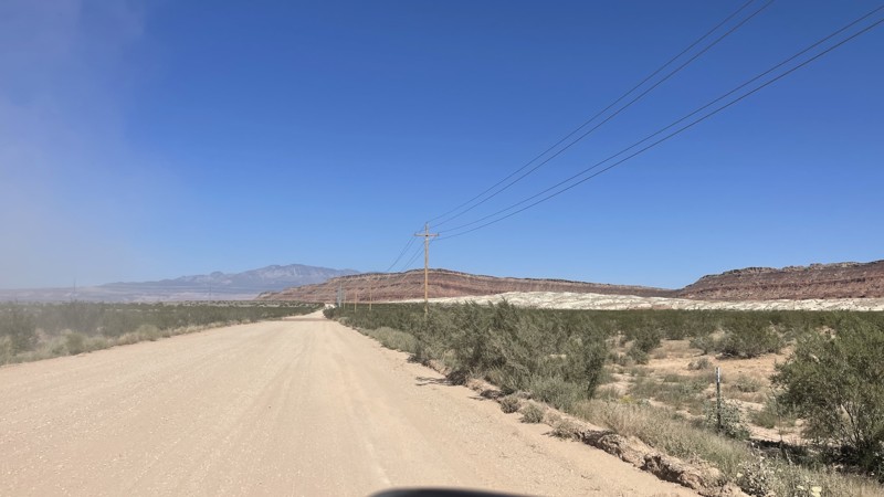
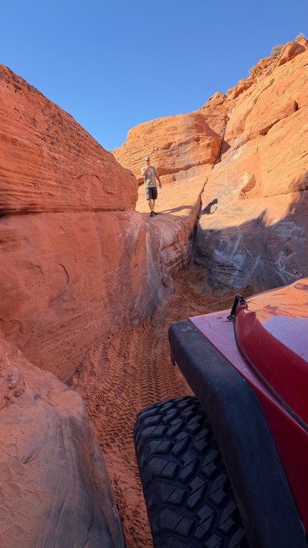
Pipeline Road is an easy, scenic dirt road that travels between Sand Mountain OHV area and Long Valley Road, passing through the Warner Valley Block State Trust Land. The road surface is primarily hardpacked dirt and gravel, two to three vehicles wide the entire way. It traverses gentle grades and is a perfect road for any vehicle that wants to hit dirt. The easiest access is from the south side, off Long Valley Road or Warner Valley Road, where it is suitable to bring trailers and RVs. There are plenty of large, designated camping spots along the southern half of the road, and all of them provide scenic views, whether it be of the Pine Valley Mountains, Warner Valley, or the Hurricane Cliffs.

Please note that if you enter the Sand Mountain OHV area, vehicles must have an orange or red safety flag on the vehicle, rising at least 8 feet off the ground.

Utah: Bobsled Hero Photo
Scout Route Icon
5/5 (3 reviews)
Updated: 07/21/2026

Bobsled

Washington, Utah

Bobsled is a straight-through, north-to-south alternative between West Rim and John's Trail. The northern half of the trail is primarily bumpy slickrock as you make your way to or from the West Rim bathroom. A few optional obstacles can be found along this stretch, but a high clearance vehicle is suitable for the entire section. The trail's southern half is the most fun, with tight, high-bank sandy corners that are great for those looking for a speed fix. This trail is two-way, and users should always anticipate oncoming traffic. Occasional protruding rocks can be found in the sand, but the southern half is still suitable for any high clearance vehicle.


About Sand Mountain

Sand Mountain is an extremely unique parcel of public land. Designated as an Open OHV Area, riders are free to make their own trails. Due to this, many of the long-established named trail routes have several variations that can take easier or more challenging routes through the intended trail. The GPX track for this trail helps you navigate the area, but various lines, bypasses, and additional obstacles may exist along the way. Riders are encouraged to stay on existing trails and not unnecessarily drive over or destroy vegetation.

Fees

Riding on Sand Mountain is entirely free. However, the area has multiple entry/exit points, including "the tunnel," which connects Sand Hollow State Park to the open OHV area. Any entry into the boundaries of Sand Hollow State Park requires a Utah State Park Pass.

Requirements

When operating on Sand Mountain, users must attach an orange or red safety flag to the vehicle, rising at least 8 feet off the ground.
Utah: Warner Valley Exit Connector Hero Photo
Scout Route Icon
3/5 (2 reviews)
Updated: 10/15/2024

Warner Valley Exit Connector

Washington, Utah
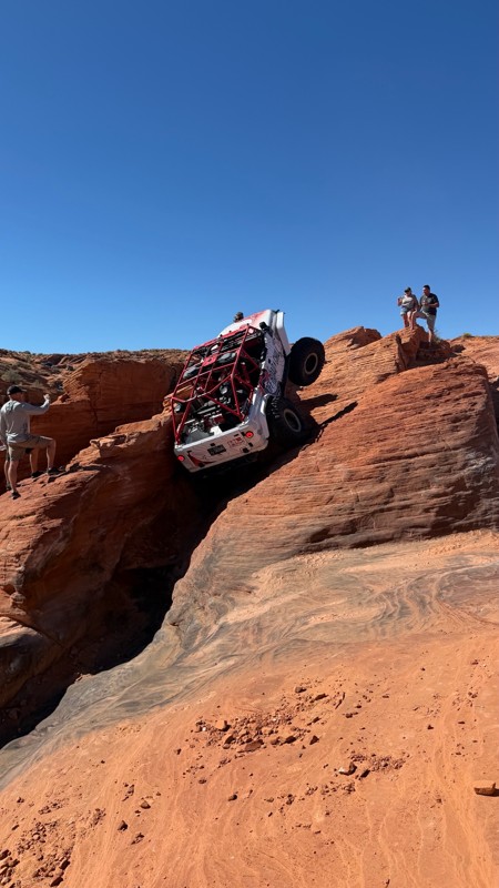
This trail connects the Warner Valley exit off of Southern Parkway to the Sunshine Loop and Little Black Mountain trails. This is a flat wide maintained dirt road with some loose gravel. This is an easy frontage road that any vehicle can drive. There is no camping along this connector.
Utah: Lakeside Hero Photo
Scout Route Icon
1.5/5 (2 reviews)
Updated: 10/15/2024

Lakeside

Hurricane, Utah

Lakeside is an easy, sandy access road along the northern edge of Sand Mountain, offering good views of Sand Hollow Reservoir. The road is adjacent to Highway 7, traveling west to east between the Waddy's Corral staging area (formally known as Water Tanks), past the Sand Hollow State Park tunnel, and ending at the East Fenceline Road, near the Highway 7 exit 19 offramp. The road can be run in either direction and is a busy central vein used to access popular trails like Risky Biz, Twister, Milts Mile, Triple 7s, and Chain Reaction. The road has a few chunky slickrock spots, especially near the Water Tank Road and the tunnel, and a lot of whoop-de-doos through the sand. This trail is suitable for any high clearance vehicle.

About Sand Mountain

Sand Mountain is an extremely unique parcel of public land. Designated as an Open OHV Area, riders are free to make their own trails. Due to this, many of the long-established named trail routes have several variations that can take easier or more challenging routes through the intended trail. The GPX track for this trail helps you navigate the area, but various lines, bypasses, and additional obstacles may exist along the way. Riders are encouraged to stay on existing trails and not unnecessarily drive over or destroy vegetation.

Fees

Riding on Sand Mountain is entirely free. However, there are multiple entry/exit points for the area, including "the tunnel," which connects Sand Hollow State Park to the open OHV area. Any entry into the boundaries of Sand Hollow State Park requires a Utah State Park Pass.

Requirements

When operating on Sand Mountain, users must attach an orange or red safety flag to the vehicle, rising at least 8 feet off the ground.

Utah: Warner Valley Overlook Hero Photo
Scout Route Icon
5/5 (1 reviews)
Updated: 11/04/2024

Warner Valley Overlook

Hurricane, Utah

Warner Valley Overlook is an out-and-back spur trail off of East Rim that travels to an incredible cliffside viewpoint high above Warner Valley. This 1.5-mile-long trail treks across rough and rocky terrain and travels over several slickrock ledges around one foot tall. The trail is fairly wide the entire time, but there are two sections along the route where the trail narrows to 1.5 vehicles wide and traverses next to a steep exposed drop. These two sections could cause a little anxiety for drivers or passengers uncomfortable with narrow roads. The viewpoint at the end, where you can see for miles across the Arizona Strip, is well worth the trip. The viewpoint is next to the Queens Court trail, which could be used as an exit route down to Warner Valley. However, drivers would need to traverse two of the most difficult obstacles along Queens Court. Most vehicles will turn around and return the way they came to East Rim. Overall, this trail is suitable for any high clearance 4x4 vehicle. Vehicles on smaller tires or close to stock height should anticipate undercarriage scrappage.


About Sand Mountain

Sand Mountain is an extremely unique parcel of public land. Designated as an Open OHV Area, riders are free to make their own trails. Due to this, many of the long-established named trail routes have several variations that can take easier or more challenging routes through the intended trail. The GPX track for this trail helps you navigate the area, but various lines, bypasses, and additional obstacles may exist along the way. Riders are encouraged to stay on existing trails and not unnecessarily drive over or destroy vegetation.

Fees

Riding on Sand Mountain is entirely free. However, there are multiple entry/exit points for the area, including "the tunnel," which connects Sand Hollow State Park to the open OHV area. Any entry into the boundaries of Sand Hollow State Park requires a Utah State Park Pass.

Requirements

When operating on Sand Mountain, users must attach an orange or red safety flag to the vehicle, rising at least 8 feet off the ground.

Utah: East Fenceline Hero Photo
Scout Route Icon
3/5 (2 reviews)
Updated: 03/11/2025

East Fenceline

Hurricane, Utah

East Fenceline is both a sandy and rocky connector road along the eastern fenceline, as the name suggests. It is a straight-through trail connecting Lakeside and Sand Dune Way, used primarliy for accessing numerous trails on the east side of Sand Mountain, including The Fallen and Razzle Dazzle. The northeast end of the track is also considered the start of the Bzzackwards trail and starts as an easy, sandy trail with a lot of whoop-de-doos. As the trail turns west, it becomes more moderate and transitions to sections of chunky slickrock that will keep your speeds a bit lower and often test belly clearance. The westernmost stretch of trail between Sand Dune Way and The Fallen offers a few slickrock descents and transitions back into easy soft sand. This trail is suitable for any aired down, high clearance 4WD vehicle.


About Sand Mountain

Sand Mountain is an extremely unique parcel of public land. Designated as an Open OHV Area, riders are free to make their own trails. Due to this, many of the long-established named trail routes have several variations that can take easier or more challenging routes through the intended trail. The GPX track for this trail helps you navigate the area, but various lines, bypasses, and additional obstacles may exist along the way. Riders are encouraged to stay on existing trails and not unnecessarily drive over or destroy vegetation.

Fees

Riding on Sand Mountain is entirely free. However, there are multiple entry/exit points for the area, including "the tunnel," which connects Sand Hollow State Park to the open OHV area. Any entry into the boundaries of Sand Hollow State Park requires a Utah State Park Pass.

Requirements

When operating on Sand Mountain, users must attach an orange or red safety flag to the vehicle, rising at least 8 feet off the ground.
Utah: Sand Dune Access to Plan B Hero Photo
Scout Route Icon
4/5 (1 reviews)
Updated: 12/03/2025

Sand Dune Access to Plan B

Washington, Utah

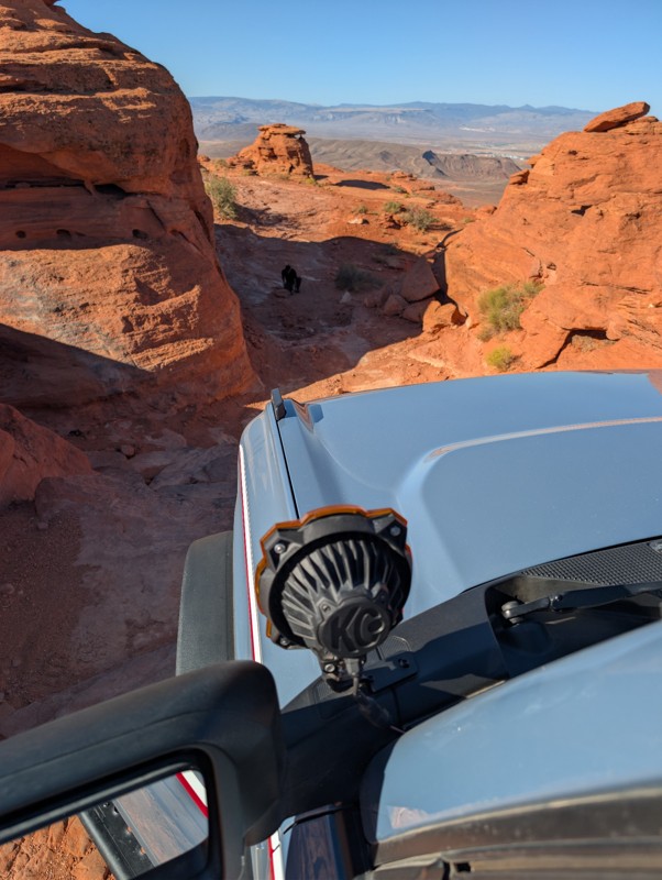
This route is a constantly changing sand dune route connecting Sand Dune Way and Razzle Dazzle, providing access to The Ledges and Plan B trails. The safest path through the dunes changes on a regular basis due to wind-shifting sand, and the track here is only meant to represent one possible path. The extremely soft sand requires aired-down tires. Driving across a sand dune can be challenging and requires specific techniques to navigate safely. Keep a steady pace and avoid sudden acceleration or braking. Look for the path of least resistance and follow existing tire tracks, or choose a route that seems less steep or more compacted by other vehicles. Use gentle steering movements to maintain control, and if sliding sideways, turn into the slide. When ascending or descending a dune, be sure to always maintain a 90-degree angle to the dune's slope to avoid sliding sideways. Additionally, be cautious of steep dropoffs that can quickly high-center your vehicle.

About Sand Mountain

Sand Mountain is an extremely unique parcel of public land. Designated as an Open OHV Area, riders are free to make their own trails. Due to this, many of the long-established named trail routes have several variations that can take easier or more challenging routes through the intended trail. The GPX track for this trail helps you navigate the area, but various lines, bypasses, and additional obstacles may exist along the way. Riders are encouraged to stay on existing trails and not unnecessarily drive over or destroy vegetation.

Fees

Riding on Sand Mountain is entirely free. However, there are multiple entry/exit points for the area, including "the tunnel," which connects Sand Hollow State Park to the open OHV area. Any entry into the boundaries of Sand Hollow State Park requires a Utah State Park Pass.

Requirements

When operating on Sand Mountain, users must attach an orange or red safety flag to the vehicle, rising at least 8 feet off the ground.
Utah: West Rim Lite Connector Hero Photo
Scout Route Icon
3/5 (1 reviews)
Updated: 11/04/2024

West Rim Lite Connector

Washington, Utah

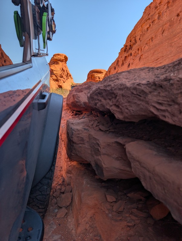
Starting in Long Valley and ascending the western edge of Sand Mountain OHV area, Trail 001 to 226 is the easiest route to the beginning of West Rim. Considered part of the West Rim Lite route, this easy access road traverses loose dirt and small sections of soft sand with mere goofball-sized rocks and gradual grades. The trail ends at the bathrooms that mark the start of the West Rim trail. The trail provides scenic views of the valley and cliffs, especially in the evening as the sun goes down.

This trail is suitable for any high clearance vehicle.

Dispersed camping along this specific trail is nonexistent. However, abundant dispersed camping can be found along Long Valley and the southern end of Pipeline Road.

About Sand Mountain

Sand Mountain is an extremely unique parcel of public land. Designated as an Open OHV Area, riders are free to make their own trails. Due to this, many of the long-established named trail routes have several variations that can take easier or more challenging routes through the intended trail. The GPX track for this trail helps you navigate the area, but various lines, bypasses, and additional obstacles may exist along the way. Riders are encouraged to stay on existing trails and not unnecessarily drive over or destroy vegetation.

Fees

Riding on Sand Mountain is entirely free. However, there are multiple entry/exit points for the area, including "the tunnel," which connects Sand Hollow State Park to the open OHV area. Any entry into the boundaries of Sand Hollow State Park requires a Utah State Park Pass.

Requirements

When operating on Sand Mountain, users must attach an orange or red safety flag to the vehicle, rising at least 8 feet off the ground.
Utah: Lower Dune Road Hero Photo
Scout Route Icon
4/5 (1 reviews)
Updated: 11/04/2024

Lower Dune Road

Washington, Utah

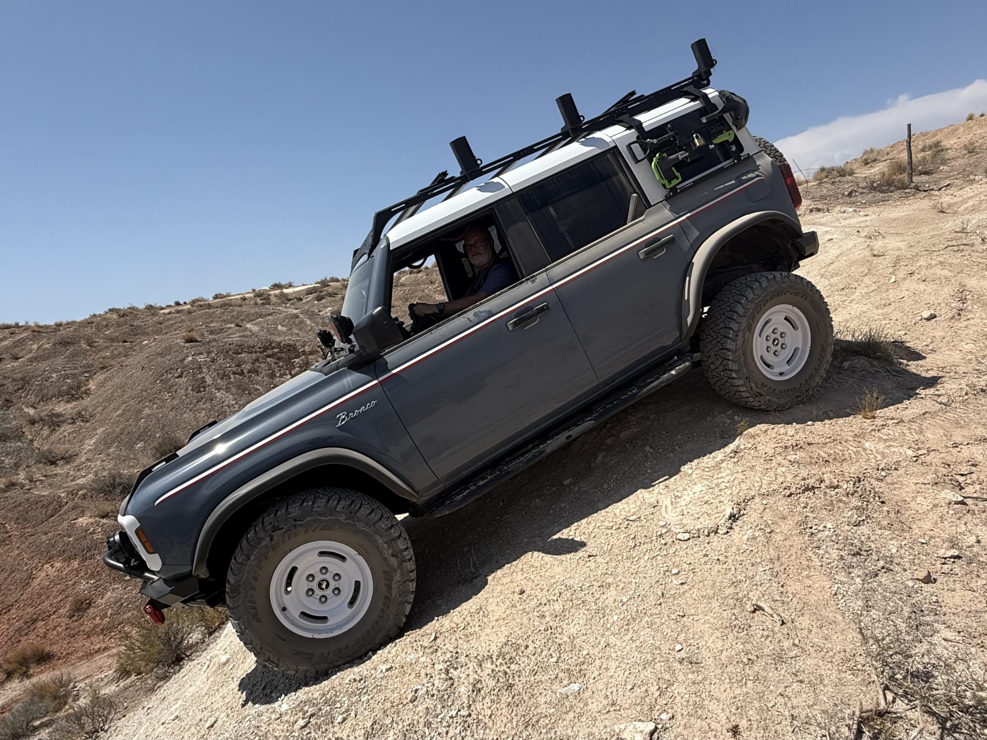
Lower Dune Road is an easy and sandy road used as an access trail between Waddy's Corral staging area (formally known as Water Tanks) and popular trails along the western edge of Sand Mountain OHV area, such as Sliplock, John's Trail, West Rim, and Rollercoaster. The trail offers a fun, steep, long sand dune on its western edge that will likely require 4WD or high horsepower. There are various ways up the dune, and this is a common place to find people testing out the ponies in their machines. After the dunes, the trail traverses constant wind-blown packed sand as your vehicle bounces up and down, tilting left and right like a small boat on the high seas. Depending on how well your suspension is tuned, this 1.5-mile trail might feel long or short.

This trail is suitable for any high clearance vehicle.

About Sand Mountain

Sand Mountain is an extremely unique parcel of public land. Designated as an Open OHV Area, riders are free to make their own trails. Due to this, many of the long-established named trail routes have several variations that can take easier or more challenging routes through the intended trail. The GPX track for this trail helps you navigate the area, but various lines, bypasses, and additional obstacles may exist along the way. Riders are encouraged to stay on existing trails and not unnecessarily drive over or destroy vegetation.

Fees

Riding on Sand Mountain is entirely free. However, there are multiple entry/exit points for the area, including "the tunnel," which connects Sand Hollow State Park to the open OHV area. Any entry into the boundaries of Sand Hollow State Park requires a Utah State Park Pass.

Requirements

When operating on Sand Mountain, users must attach an orange or red safety flag to the vehicle, rising at least 8 feet off the ground.

Utah: Middle Fenceline Hero Photo
Scout Route Icon
1/5 (2 reviews)
Updated: 11/04/2024

Middle Fenceline

Washington, Utah

Middle Fenceline is a moderate access route between Sand Dune Way and Water Tank Road and is commonly used as an exit route from Milts Mile. The trail is extremely sandy, with large dunes along the east side. Users must negotiate occasional slickrock ledges under 12" and periodic protruding rock. Navigation from Milts Mile to the Water Tanks is simple as you follow along the south side of the fence. East of Milts Mile, navigation can be complicated and changes from time to time due to shifting sands. Traction can sometimes be difficult, but this trail suits any stock high clearance vehicle with aired-down tires.

About Sand Mountain

Sand Mountain is an extremely unique parcel of public land. Designated as an Open OHV Area, riders are free to make their own trails. Due to this, many of the long-established named trail routes have several variations that can take easier or more challenging routes through the intended trail. The GPX track for this trail helps you navigate the area, but various lines, bypasses, and additional obstacles may exist along the way. Riders are encouraged to stay on existing trails and not unnecessarily drive over or destroy vegetation.

Fees

Riding on Sand Mountain is entirely free. However, there are multiple entry/exit points for the area, including "the tunnel," which connects Sand Hollow State Park to the open OHV area. Any entry into the boundaries of Sand Hollow State Park requires a Utah State Park Pass.

Requirements

When operating on Sand Mountain, users must attach an orange or red safety flag to the vehicle, rising at least 8 feet off the ground.

Utah: Bobsled Cut Through Hero Photo
Scout Route Icon
3/5 (1 reviews)
Updated: 11/04/2024

Bobsled Cut Through

Washington, Utah

Bobsled Cut Through is a straight-through connector trail between West Rim and John's Trail, traveling west to east, severing the two halves of the Bobsled trail. The surface of Bobsled Cut Through is a mix of sand and slickrock with one small ledge less than 10 inches tall that must be negotiated. Erosion over time could cause this ledge to increase in size, but approach and departure angles should not be an issue. This trail is short and only takes a few minutes to travel. It is a great option for those who just completed John's Trail and want to head over to the more fun optional obstacles along West Rim and Faulty Towers. Bobsled Cut Through is suitable for any high clearance vehicle.


About Sand Mountain

Sand Mountain is an extremely unique parcel of public land. Designated as an Open OHV Area, riders are free to make their own trails. Due to this, many of the long-established named trail routes have several variations that can take easier or more challenging routes through the intended trail. The GPX track for this trail helps you navigate the area, but various lines, bypasses, and additional obstacles may exist along the way. Riders are encouraged to stay on existing trails and not unnecessarily drive over or destroy vegetation.

Fees

Riding on Sand Mountain is entirely free. However, there are multiple entry/exit points for the area, including "the tunnel," which connects Sand Hollow State Park to the open OHV area. Any entry into the boundaries of Sand Hollow State Park requires a Utah State Park Pass.

Requirements

When operating on Sand Mountain, users must attach an orange or red safety flag to the vehicle, rising at least 8 feet off the ground.

Utah: Dead Broke Hero Photo
Scout Route Icon
5/5 (1 reviews)
Updated: 10/16/2025

Dead Broke

Hurricane, Utah

Traveling east to west, and crisscrossing many of the most popular routes along Sand Mountain, such as Chain Reaction, Triple 7, Double Sammy, and Joint Effort, Dead Broke is a trail that delivers a nonstop series of steep climbs, sharp ledges, and off-camber drops carved into the red slickrock. This is not a trail for the faint of heart. Expect constant vertical walls, deep cracks, and tall waterfalls where careful spotting, throttle finesse, and lockers are an absolute requirement. The line choices are tight and technical, and often very tippy. Dead Broke rewards the challenge with jaw-dropping Sand Hollow State Park views, unique sandstone formations, and the kind of obstacles that make Sand Mountain famous. The trail ends just before reaching Sand Dune Way by tackling the Baby Lionsback obstacle, where users must traverse a narrow, blind climb and then drop off the other side of the rock feature in the same blind fashion. This trail is best for experienced drivers who want to test themselves on technical terrain. Two lockers, rock sliders, and at least 35" tires are recommended for this trail.

About Sand Mountain

Sand Mountain is an extremely unique parcel of public land. Designated as an Open OHV Area, riders are free to make their own trails. Due to this, many of the long-established named trail routes have several variations that can take easier or more challenging routes through the intended trail. The GPX track for this trail helps you navigate the area, but various lines, bypasses, and additional obstacles may exist along the way. Riders are encouraged to stay on existing trails and not unnecessarily drive over or destroy vegetation.

Fees

Riding on Sand Mountain is entirely free. However, there are multiple entry/exit points for the area, including "the tunnel," which connects Sand Hollow State Park to the open OHV area. Any entry into the boundaries of Sand Hollow State Park requires a Utah State Park Pass.

Requirements

When operating on Sand Mountain, users must attach an orange or red safety flag to the vehicle, rising at least 8 feet off the ground.

Utah: West Frontage Road Hero Photo
Scout Route Icon
3/5 (1 reviews)
Updated: 11/04/2024

West Frontage Road

Washington, Utah

West Frontage Road is a hard-packed sand access road that parallels Highway 7 and is used to travel between Waddy's Corral staging area and the Lower Dune Road. There are no obstacles, and the trail is multiple vehicles wide. However, washboards and whoops are plentiful along this trail. West Frontage Road provides spectacular views of the Pine Valley Mountains and showcases the abundant desert flora seen all along the Sand Mountain OHV area.

This trail is suitable for any high clearance vehicle.

About Sand Mountain

Sand Mountain is an extremely unique parcel of public land. Designated as an Open OHV Area, riders are free to make their own trails. Due to this, many of the long-established named trail routes have several variations that can take easier or more challenging routes through the intended trail. The GPX track for this trail helps you navigate the area, but various lines, bypasses, and additional obstacles may exist along the way. Riders are encouraged to stay on existing trails and not unnecessarily drive over or destroy vegetation.

Fees

Riding on Sand Mountain is entirely free. However, there are multiple entry/exit points for the area, including "the tunnel," which connects Sand Hollow State Park to the open OHV area. Any entry into the boundaries of Sand Hollow State Park requires a Utah State Park Pass.

Requirements

When operating on Sand Mountain, users must attach an orange or red safety flag to the vehicle, rising at least 8 feet off the ground.

Utah: West Fenceline Hero Photo
Scout Route Icon
1/5 (1 reviews)
Updated: 11/04/2024

West Fenceline

Washington, Utah

West Fenceline is a basic sandy trail leading users from the central sand dune and Sand Dune Way to West Rim. Pockets of deeper sand may require 4WD, and the chunky and sandy western end of the trail may also prove difficult if you are still in 2WD. Higher speeds may be had in spots, but be cautious of random hidden dips and large washboards. This trail also connects to the moderately rated trail Resurrection.

About Sand Mountain

Sand Mountain is an extremely unique parcel of public land. Designated as an Open OHV Area, riders are free to make their own trails. Due to this, many of the long-established named trail routes have several variations that can take easier or more challenging routes through the intended trail. The GPX track for this trail helps you navigate the area, but various lines, bypasses, and additional obstacles may exist along the way. Riders are encouraged to stay on existing trails and not unnecessarily drive over or destroy vegetation.

Fees

Riding on Sand Mountain is entirely free. However, there are multiple entry/exit points for the area, including "the tunnel," which connects Sand Hollow State Park to the open OHV area. Any entry into the boundaries of Sand Hollow State Park requires a Utah State Park Pass.

Requirements

When operating on Sand Mountain, users must attach an orange or red safety flag to the vehicle, rising at least 8 feet off the ground.

Utah: Landslide Hero Photo
All-Access Icon
3/5 (2 reviews)
Updated: 09/29/2025

Landslide

Washington, Utah

Landslide is one of Sand Mountain's lesser-known challenges, a difficult slickrock trail that strings together a series of steep ledges, off-camber drops, and vertical waterfall climbs that demand precise tire placement and careful throttle control. Traversing a mostly traction-rich sandstone path, this trail will push the limits of your rig’s articulation and test your nerves as you stare mostly at the sky, trusting the words of your spotter. The trail weaves along narrow shelves and up sharp ascents, showcasing unique rock formations and offering expansive views of the Arizona Strip to the south. With equal parts adrenaline and scenery, Landslide is a trail worth putting on your list while visiting Sand Mountain.

Utah: Dixie Springs Cutoff Hero Photo
Scout Route Icon
3/5 (1 reviews)
Updated: 11/04/2024

Dixie Springs Cutoff

Washington, Utah

Dixie Springs Cutoff is a simple connecting trail between West Frontage Road and Sliplock Gulch. The road surface is primarily soft sand with occasional protruding rocks along the trail's southern end. The primary purpose of Dixie Springs Cutoff is to access Sliplock Gulch and Resurrection from Waddy's Corral Staging Area. This trail is suitable for any high clearance vehicle, and airing down is highly recommended due to the rough terrain and soft sand.


About Sand Mountain

Sand Mountain is an extremely unique parcel of public land. Designated as an Open OHV Area, riders are free to make their own trails. Due to this, many of the long-established named trail routes have several variations that can take easier or more challenging routes through the intended trail. The GPX track for this trail helps you navigate the area, but various lines, bypasses, and additional obstacles may exist along the way. Riders are encouraged to stay on existing trails and not unnecessarily drive over or destroy vegetation.

Fees

Riding on Sand Mountain is entirely free. However, there are multiple entry/exit points for the area, including "the tunnel," which connects Sand Hollow State Park to the open OHV area. Any entry into the boundaries of Sand Hollow State Park requires a Utah State Park Pass.

Requirements

When operating on Sand Mountain, users must attach an orange or red safety flag to the vehicle, rising at least 8 feet off the ground.

Utah: Funnel Alternate Hero Photo
Scout Route Icon
4/5 (1 reviews)
Updated: 11/04/2024

Funnel Alternate

Washington, Utah

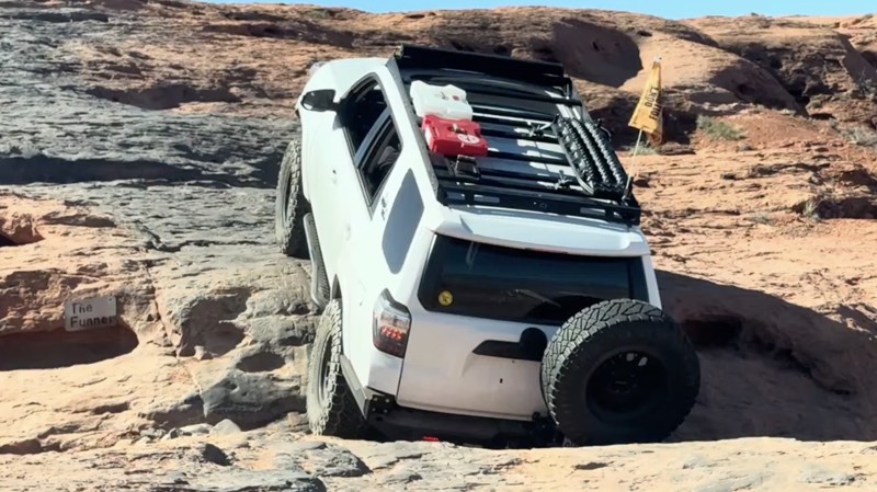
The Funnel Alternate is a straight-through sandy and slickrock route that parallels West Rim trail, one ridge to the east. This trail is an alternate that avoids The Steps and The Funnel along West Rim. The trail starts along a sandy rise and quickly comes to a sloped slickrock climb with multiple lines and several small ledges to traverse. The height of the ledges is comparable to The Steps on West Rim. However, the spacing between ledges is considerably wider, providing slightly better traction.

Additionally, this trail provides better approach and departure angles at the slickrock obstacles when compared to The Funnel obstacle on West Rim. This makes the Funnel Alternate a better option for vehicles with long overhangs, such as trucks. The trail ends intersecting with Bobsled Cut Through, where you can turn west and reconnect with West Rim at Waypoint 4. This trail is suitable for any high clearance 4-wheel drive vehicle and drivers of any skill level.


About Sand Mountain

Sand Mountain is an extremely unique parcel of public land. Designated as an Open OHV Area, riders are free to make their own trails. Due to this, many of the long-established named trail routes have several variations that can take easier or more challenging routes through the intended trail. The GPX track for this trail helps you navigate the area, but various lines, bypasses, and additional obstacles may exist along the way. Riders are encouraged to stay on existing trails and not unnecessarily drive over or destroy vegetation.

Fees

Riding on Sand Mountain is entirely free. However, there are multiple entry/exit points for the area, including "the tunnel," which connects Sand Hollow State Park to the open OHV area. Any entry into the boundaries of Sand Hollow State Park requires a Utah State Park Pass.

Requirements

When operating on Sand Mountain, users must attach an orange or red safety flag to the vehicle, rising at least 8 feet off the ground.

Utah: Higher Anxiety Hero Photo
Scout Route Icon
5/5 (1 reviews)
Updated: 10/22/2025

Higher Anxiety

Hurricane, Utah

Higher Anxiety is one of Sand Mountain’s most intense technical challenges. This trail is designed to push both vehicle and driver to their limits. Located in the far northeastern corner of the OHV area, this two-part loop delivers an unrelenting series of obstacles that test throttle control, balance, and nerve. The trek begins with a few steep slickrock climbs and narrow off-camber traverses that tip-toe along deep cravasses, demanding precise tire placement and confidence in your rig’s traction and stability. Drivers quickly find themselves threading through tight, high-walled canyons and easing over vehicle-sized ledges where one wrong move could mean body damage or rollover. Midway through, the trail drops into a dramatic 12-foot descent into a tight canyon with a sharp 90-degree turn at the bottom; a true heart-rate spike that justifies the trail’s name.

After a short connection along the Northeast Loop, the second half maintains the adrenaline with tall, stair-stepped waterfalls, sharp ledges, and multiple V-notch squeezes. While the rock is classic Sand Hollow slickrock, grippy and unforgiving, the terrain constantly shifts between technical climbs and nerve-testing off-camber shelves. The trail is best run clockwise, starting at the western end, and finishing on the eastern end. This trail should only be attempted by highly capable, modified 4x4s with locking differentials, experienced spotters, and drivers comfortable with extreme exposure.


About Sand Mountain

Sand Mountain is an extremely unique parcel of public land. Designated as an Open OHV Area, riders are free to make their own trails. Due to this, many of the long-established named trail routes have several variations that can take easier or more challenging routes through the intended trail. The GPX track for this trail helps you navigate the area, but various lines, bypasses, and additional obstacles may exist along the way. Riders are encouraged to stay on existing trails and not unnecessarily drive over or destroy vegetation.


Fees

Riding on Sand Mountain is entirely free. However, there are multiple entry/exit points for the area, including "the tunnel," which connects Sand Hollow State Park to the open OHV area. Any entry into the boundaries of Sand Hollow State Park requires a Utah State Park Pass.


Requirements

When operating on Sand Mountain, users must attach an orange or red safety flag to the vehicle, rising at least 8 feet off the ground.
Utah: The Ledges Hero Photo
All-Access Icon
4/5 (1 reviews)
Updated: 01/31/2026

The Ledges

Washington, Utah

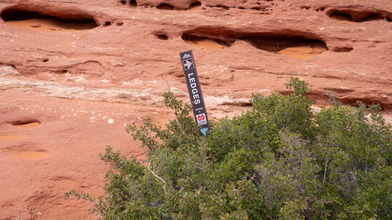
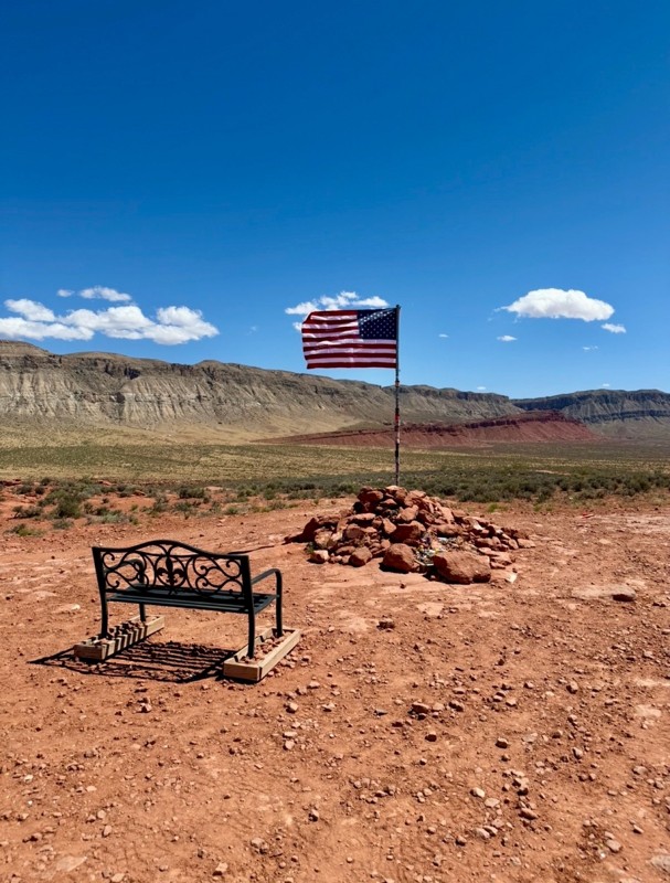
Located along the southern rim of Sand Mountain, The Ledges is one of the most heart-pumping and visually stunning trails in the area. As the name suggests, it challenges drivers with steep slickrock climbs, vertical drops, and sharply off-camber transitions carved through honeycombed sandstone and sculpted redrock amphitheaters. Every obstacle tests both skill and nerve, with technical stair-step climbs, deep undercuts, and sheer drop-offs that demand constant communication between drivers and spotters. Bring a well-built rig and friends you trust, and leave the tire carrier at home, because this trail is a masterclass in composure, precision, and the value of good approach and departure angles.