Region

Sand Hollow

Utah

Offroad Trails in Sand Hollow

A Region within Utah
4.3/5 (152)

Disneyland for Wheelers!

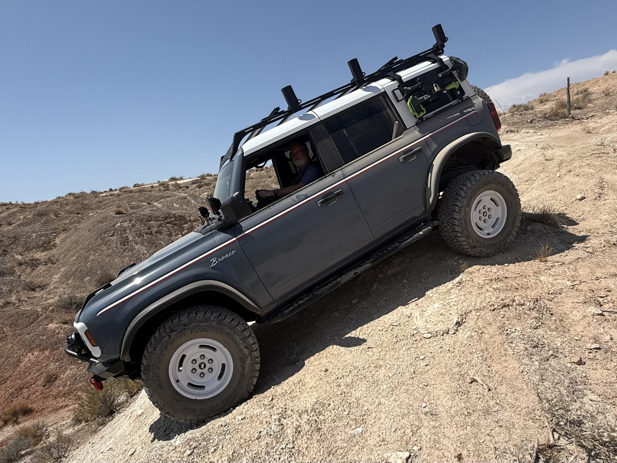
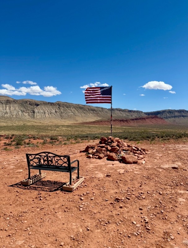
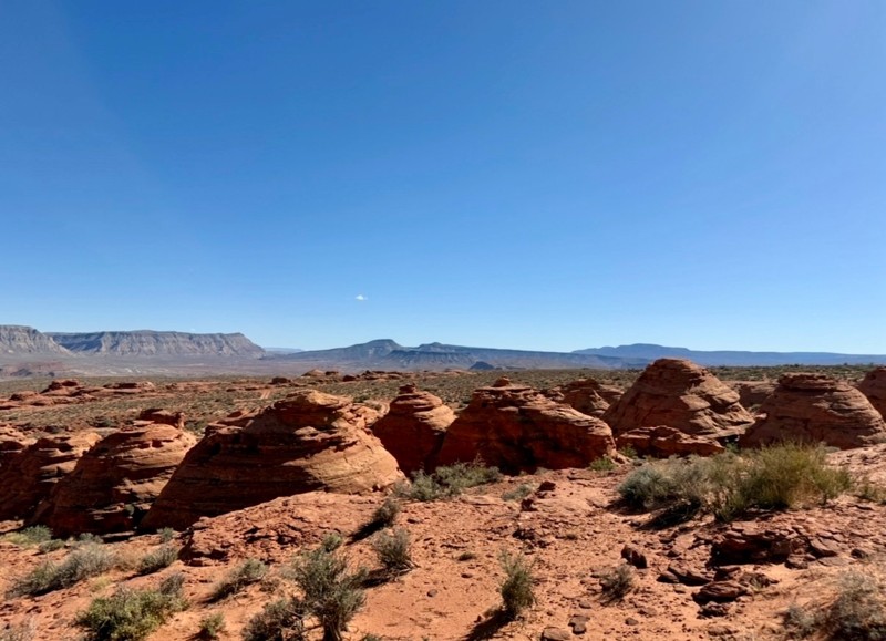
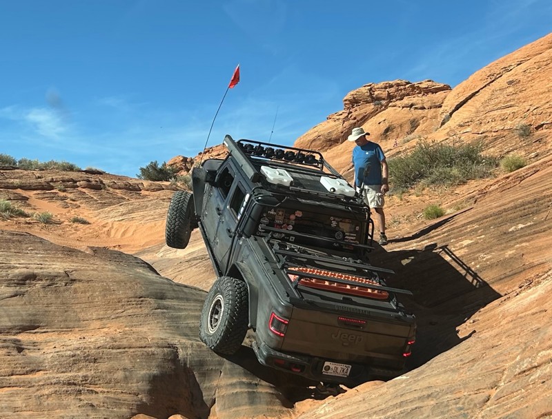
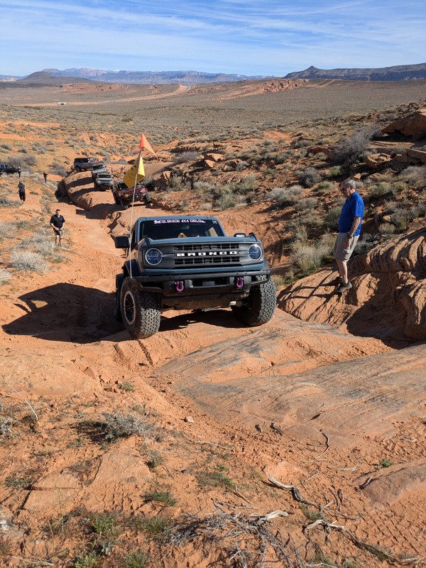
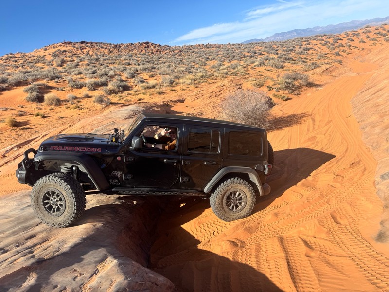
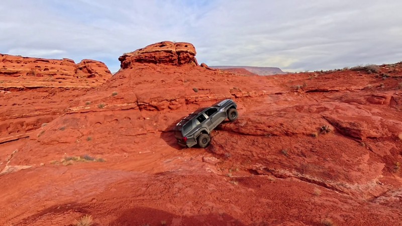
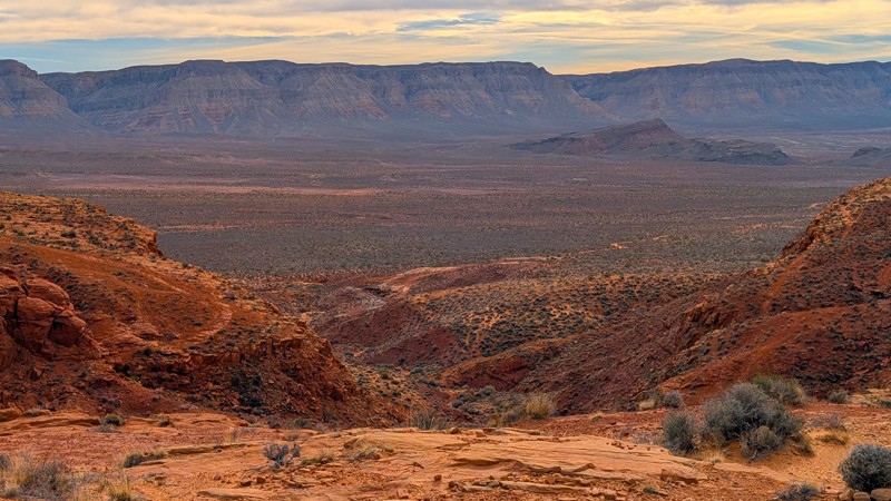
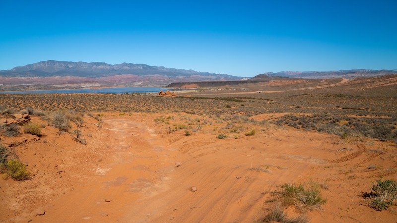
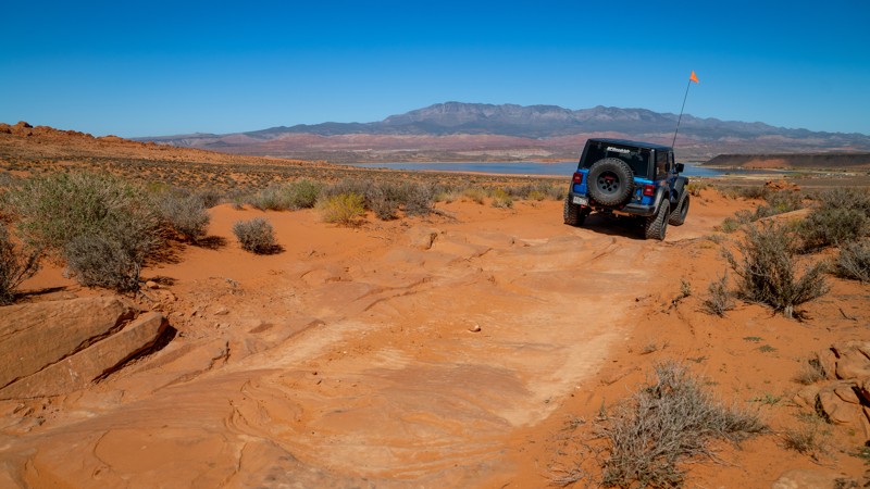
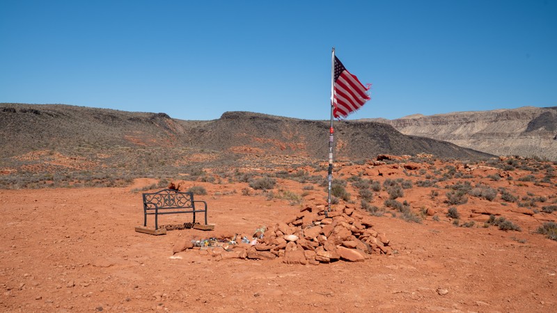
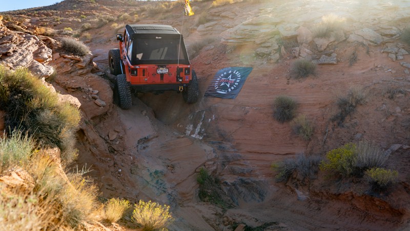
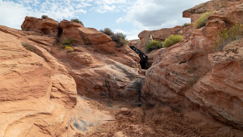
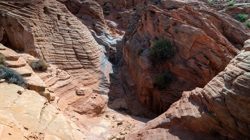
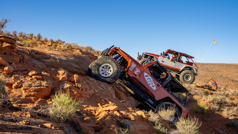
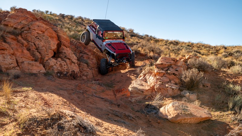
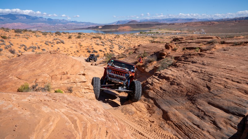
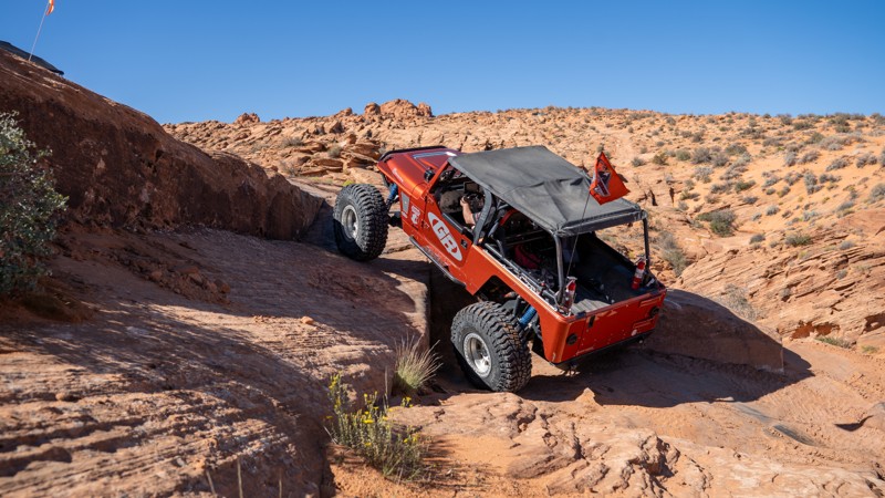
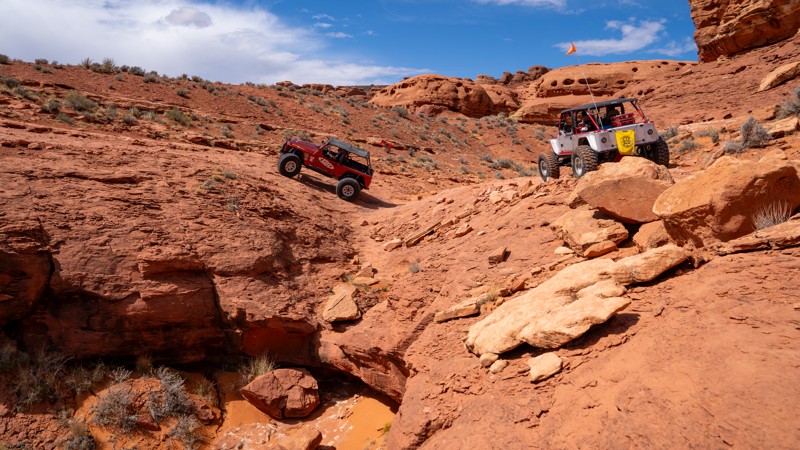
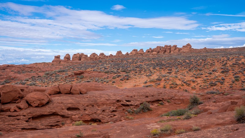
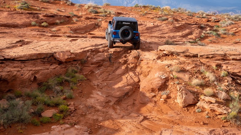
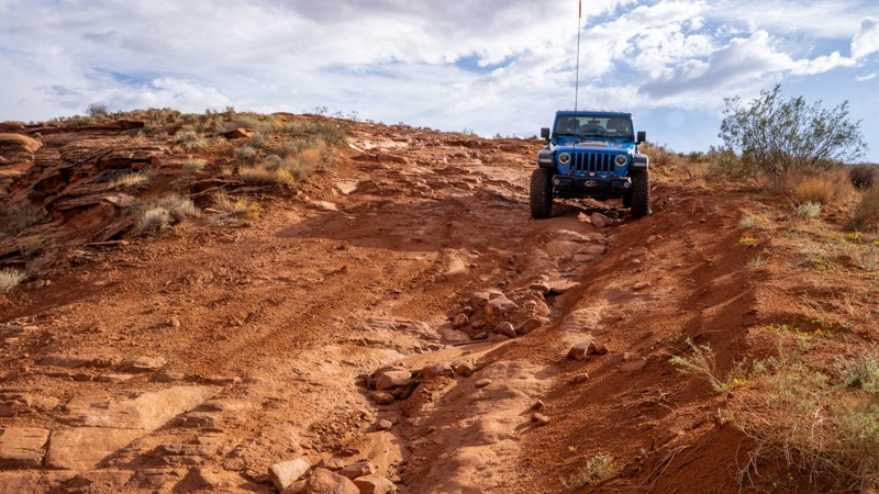
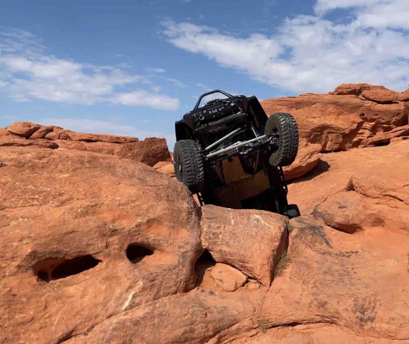
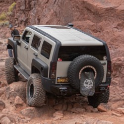
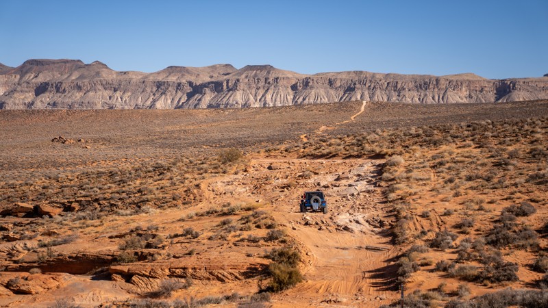
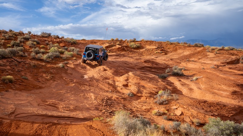
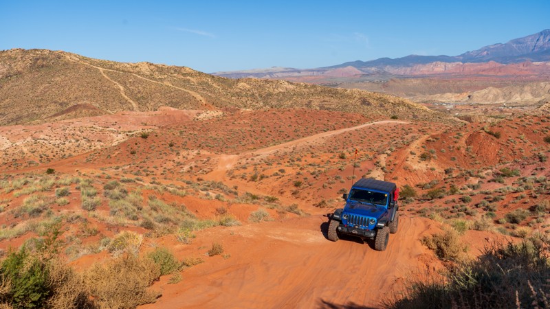
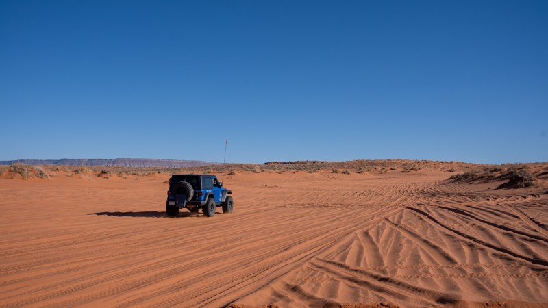
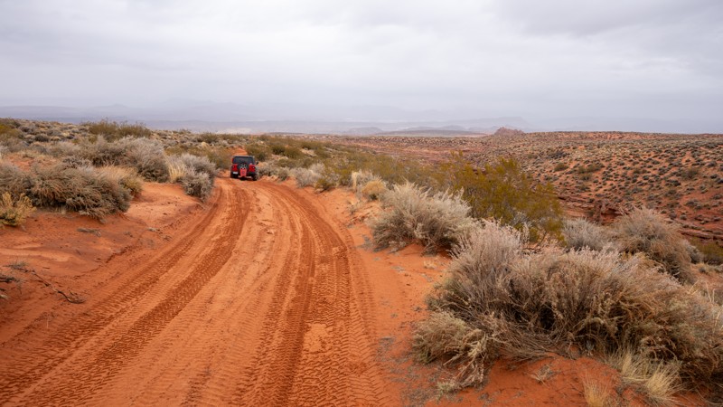
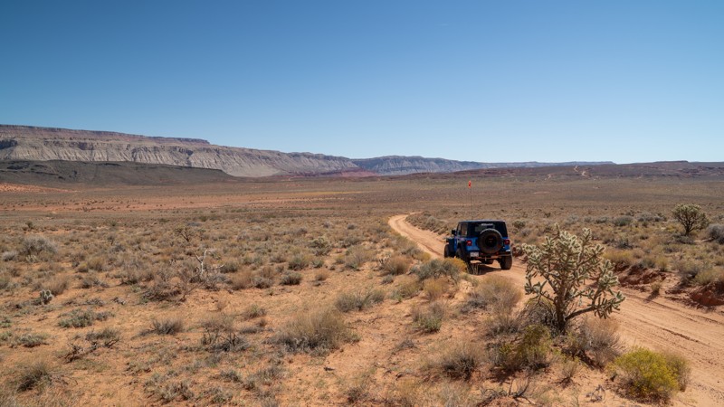
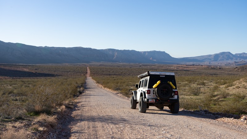
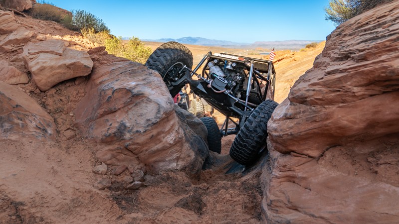
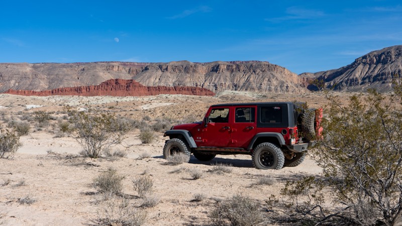
Sand Mountain OHV Area, adjacent to Sand Hollow State Park, might be the happiest place on earth if you are an off-roader. This sprawling 20,000-acre landscape of red sandstone and rolling sand dunes has become a must-see destination for offroad enthusiasts nationwide. With the incredible backdrop of bright burgundy sand, blue waters of Sand Hollow Reservoir, and intriguing rock formations everywhere the eye can see, the scenery is just icing on the cake for an area covered with limitless opportunities to test your driver skills and your vehicle’s capabilities. This southern Utah plateau offers trails in every difficulty category, from easy dirt roads to the gnarliest buggy climbs you have ever seen.

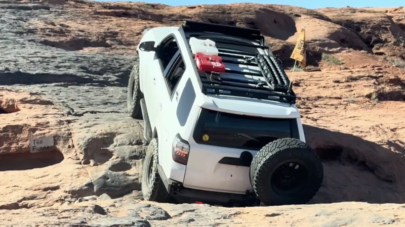
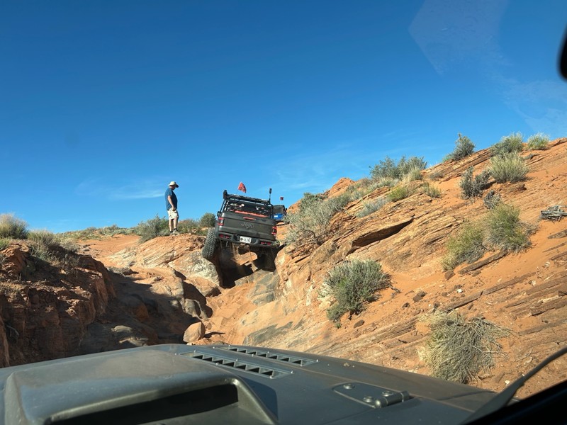
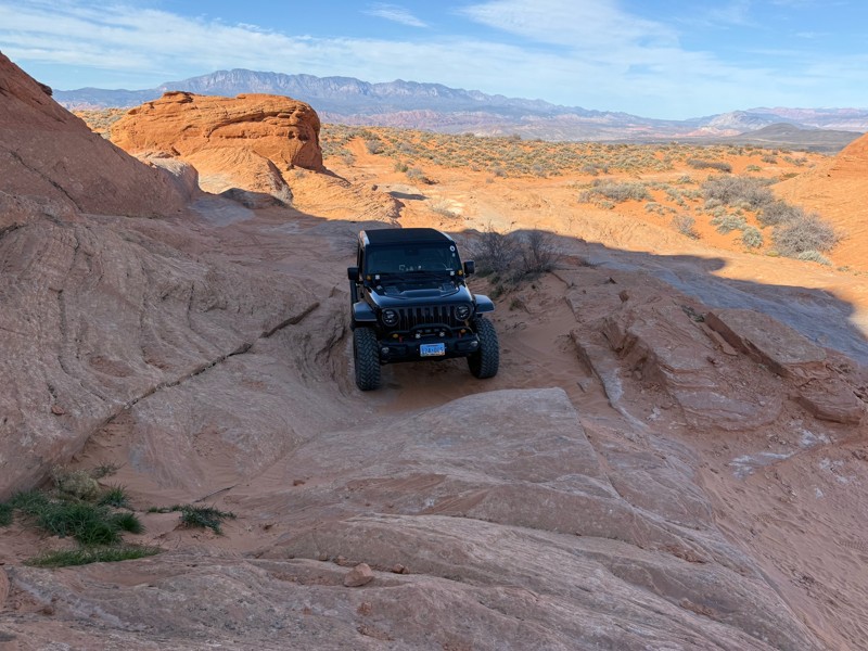
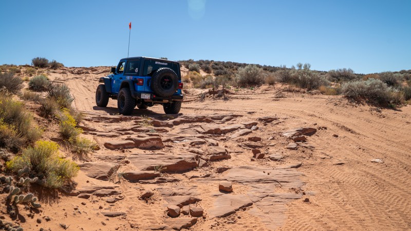
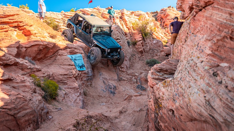
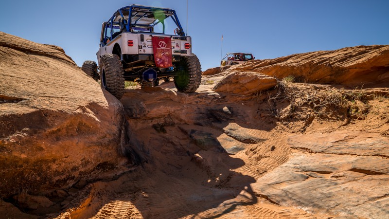
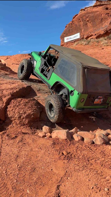
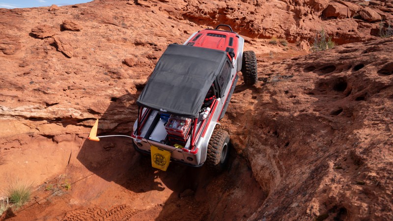
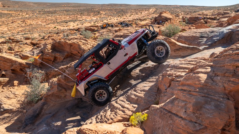
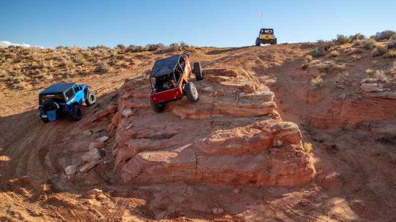
Although you don’t need an extreme rock crawler to enjoy the Sand Hollow trails, it truly does cater to those willing to test limits and boundaries. The sandstone gives your tires an insane amount of grip, making impossible-looking climbs seem far too easy. Seeing black rubber along a shear, straight-up wall is the norm here. If you come from an area of the country where wheel speed is the key to success, that technique will be your demise on the rocks in Sand Hollow. Obstacles here can be crawled with minimal effort or by giving a ledge the occasional “bump.” If speed is your thing, the dunes are a perfect place to open up the throttle and toss some rooster tails.

If you run into an obstacle you simply aren’t comfortable with, don’t worry; The entire area is designated as an open OHV area, meaning you can choose any line or route you see fit. That is another big draw to the area. Nearly all of the trails across the mountain offer optional obstacles that can be bypassed, making this destination a great choice for groups of varying skill levels. Hardcore riders can take on a wicked obstacle while your buddy in his brand-new stock truck watches and enjoys from a path of his own, only feet away.

Whether you come to shred some dunes, crawl some rocks, or enjoy the scenery, the offroad playground of Sand Mountain has an adventure waiting for you.

Top Reasons to Explore Here

Basemaps
Go All-Access to Unlock


TRAILS OFFROAD™ TRAIL TYPES
Trail Guide
Full detailed write up with Advanced Rating System, Waypoints, Video, and more.
Scout Route
Lite version with highlights, camping, and hardest part documented. Vetted in person.
TRAIL DIFFICULTY RATINGS
easy (1-2)
Suitable for high clearance 2WD
moderate (3-4)
Best suited for a high clearance 4x4
difficult (5-6)
Best suited for a lightly modified 4x4
severe (7-8)
Best suited for a highly modified 4x4
extreme (9-10)
Best suited for specialized buggy type vehicles
LAYERS

Most Recent Trail Reviews

Most Popular

Search for Trails
Utah: Northeast Loop Hero Photo
Scout Route Icon
4/5 (1 reviews)
Updated: 03/11/2025

Northeast Loop

Hurricane, Utah

The northeast loop is a moderately rocky and sandy half-circle that treks along the northeasternmost boundary of the Sand Mountain OHV Area. Due to a steep, ledgy, and loose hill at the northern end of the loop, this trail is best run in the counterclockwise direction. It can be used as a scenic loop to admire fantastic views of Sand Hollow Reservoir, the Hurricane Cliffs, Mollies Nipple, and Grass Valley, or used as a connector between the extreme trails of Sandthrax and Dekleined.

The southern end of the loop starts by bypassing the fins along Razzle Dazzle and traverses several chunky slickrock sections that can be extremely rough and bouncy. The trek then smooths out and becomes easy for a while, traversing mostly sand and a few slickrock slabs. The trail then turns north and passes several connecting roads that lead down to the East Rim trail or the Arizona Strip Road before hitting a patch of private property and turning west. At this point, you will be required to descend a fairly steep, 22-degree hill that offers two lines; One with several rocky ledges and the other with soft, loose sand. This hill is nearly impossible to climb and has no bypass route. The trail then treks along Dekliened before ending near the start of Razzle Dazzle.


About Sand Mountain

Sand Mountain is an extremely unique parcel of public land. Designated as an Open OHV Area, riders are free to make their own trails. Due to this, many of the long-established named trail routes have several variations that can take easier or more challenging routes through the intended trail. The GPX track for this trail helps you navigate the area, but various lines, bypasses, and additional obstacles may exist along the way. Riders are encouraged to stay on existing trails and not unnecessarily drive over or destroy vegetation.

Fees

Riding on Sand Mountain is entirely free. However, there are multiple entry/exit points for the area, including "the tunnel," which connects Sand Hollow State Park to the open OHV area. Any entry into the boundaries of Sand Hollow State Park requires a Utah State Park Pass.

Requirements

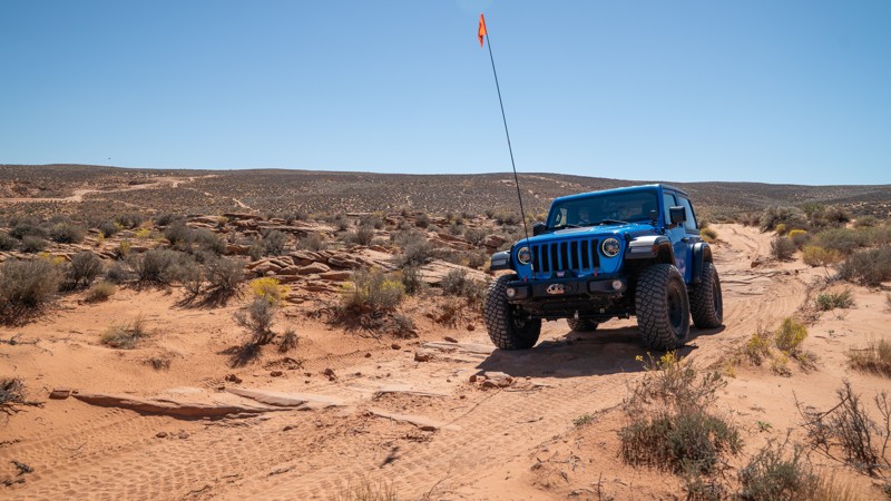
When operating on Sand Mountain, users must attach an orange or red safety flag to the vehicle, rising at least 8 feet off the ground.
Utah: Papa Smurf Hero Photo
Scout Route Icon
5/5 (1 reviews)
Updated: 10/22/2025

Papa Smurf

Hurricane, Utah

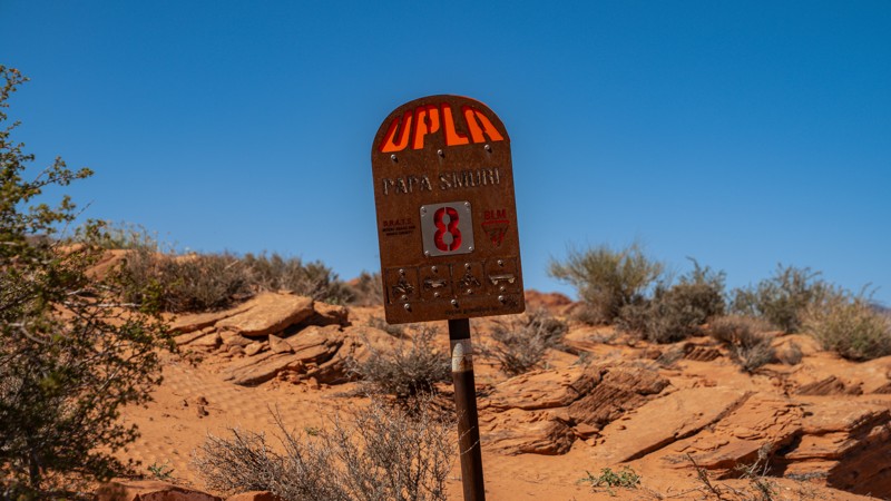
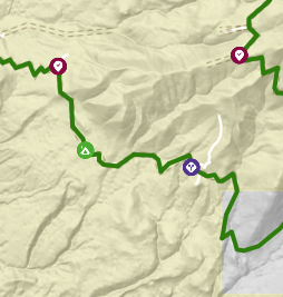
Traveling east to west and carving its way across the front side of Sand Mountain, through a maze of steep sandstone ledges, vertical waterfalls, and narrow ravines, Papa Smurf is a technical trail with a relentless sequence of obstacles. This trail begins off the East Fenceline road and starts somewhat slow with a few wedge obstacles to get your feet wet before dropping you into the top of Arrowhead Canyon, where you begin the constant barrage of obstacles. Dropping into Arrowhead Canyon is a point of no return. Whether you continue on or turn around, the only way out is up a steep, curving slickrock canyon wall. The route continues threading through deep slickrock canyons where precise tire placement and throttle control are essential. Several climbs are near vertical, demanding both articulation and momentum, while the off-camber transitions challenge even experienced drivers to keep all four tires grounded. After traveling close to The Chute, the trail plots a course through several tight ravines with another onslaught of wedge and pinchpoint-type waterfalls, before casually ending along a plateau that leads to The Fallen, Sand Dune Way, or back to The Chute.

Papa Smurf's terrain alternates between grippy slickrock and loose, sandy shelves with little traction. Lockers and rock sliders are essential on this trail. Drivers should expect potential body contact, off-camber leans, and the need for a winch or spotter assistance on select obstacles.


About Sand Mountain

Sand Mountain is an extremely unique parcel of public land. Designated as an Open OHV Area, riders are free to make their own trails. Due to this, many of the long-established named trail routes have several variations that can take easier or more challenging routes through the intended trail. The GPX track for this trail helps you navigate the area, but various lines, bypasses, and additional obstacles may exist along the way. Riders are encouraged to stay on existing trails and not unnecessarily drive over or destroy vegetation.

Fees

Riding on Sand Mountain is entirely free. However, there are multiple entry/exit points for the area, including "the tunnel," which connects Sand Hollow State Park to the open OHV area. Any entry into the boundaries of Sand Hollow State Park requires a Utah State Park Pass.

Requirements

When operating on Sand Mountain, users must attach an orange or red safety flag to the vehicle, rising at least 8 feet off the ground.
Utah: Eze Peezy Hero Photo
Scout Route Icon
2/5 (1 reviews)
Updated: 10/01/2025

Eze Peezy

Washington, Utah

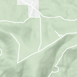
Eze Peezy is an approachable trail designed for new off-roaders and stock vehicles, offering a fun way to get familiar with your rig. This straight-through connector weaves across popular hard routes on the west side of Sand Mountain, including John’s Trail, Rollercoaster, and Sliplock Gulch, making it an excellent observation trail to watch others tackle tougher challenges.

The route itself is a mix of rough sand, scattered rock, and rolling slickrock. It can be traveled in either direction, though it’s slightly tougher east to west. The most notable obstacles appear where it crosses John’s Trail on the far western edge. There you can expect to encounter a blind, off-camber drop and a 2-foot waterfall climb. Stock vehicles may scrape on those obstacles, but both have easier bypasses. Overall, the trail is bumpy with occasional off-camber sections, yet it remains non-technical. Drivers of long-wheelbase rigs or vehicles with low departure angles should expect to drag the rear in a few spots.


About Sand Mountain

Sand Mountain is an extremely unique parcel of public land. Designated as an Open OHV Area, riders are free to make their own trails. Due to this, many of the long-established named trail routes have several variations that can take easier or more challenging routes through the intended trail. The GPX track for this trail helps you navigate the area, but various lines, bypasses, and additional obstacles may exist along the way. Riders are encouraged to stay on existing trails and not unnecessarily drive over or destroy vegetation.


Fees

Riding on Sand Mountain is entirely free. However, there are multiple entry/exit points for the area, including "the tunnel," which connects Sand Hollow State Park to the open OHV area. Any entry into the boundaries of Sand Hollow State Park requires a Utah State Park Pass.


Requirements

When operating on Sand Mountain, users must attach an orange or red safety flag to the vehicle, rising at least 8 feet off the ground.
Utah: 4885 to 4939 Hero Photo
Scout Route Icon
1/5 (1 reviews)
Updated: 11/04/2024

4885 to 4939

Washington, Utah

As the name suggests, this short jumper takes you from 4885 to 4939, bypassing the second portion of Ridgeline. This sandy trail has a steep hill climb near its southern end. 4WD may be required to ascend this hill, as it is bumpy enough that you cannot go fast. This is the ticket if you want to get to West Rim quicker.

About Sand Mountain

Sand Mountain is an extremely unique parcel of public land. Designated as an Open OHV Area, riders are free to make their own trails. Due to this, many of the long-established named trail routes have several variations that can take easier or more challenging routes through the intended trail. The GPX track for this trail helps you navigate the area, but various lines, bypasses, and additional obstacles may exist along the way. Riders are encouraged to stay on existing trails and not unnecessarily drive over or destroy vegetation.

Fees

Riding on Sand Mountain is entirely free. However, there are multiple entry/exit points for the area, including "the tunnel," which connects Sand Hollow State Park to the open OHV area. Any entry into the boundaries of Sand Hollow State Park requires a Utah State Park Pass.

Requirements

When operating on Sand Mountain, users must attach an orange or red safety flag to the vehicle, rising at least 8 feet off the ground.
Utah: Water Tank Alternate Hero Photo
Scout Route Icon
4/5 (1 reviews)
Updated: 03/11/2025

Water Tank Alternate

Washington, Utah

Water Tank Alternate is a straight-through sandy route that parallels Water Tank Road within the Sand Mountain OHV Area. This alternate is generally a much smoother and faster trek between Waddy's Coral and West Fenceline. The entire route is soft sand with sections of deep whoops. The northern end is a single-lane track passing through scrub brush and cacti, while the southern end is a wide, open patch of rolling sand dunes. This trail is suitable for any high clearance 4x4 vehicle, and airing down will be required to traverse the soft sand safely.


About Sand Mountain

Sand Mountain is an extremely unique parcel of public land. Designated as an Open OHV Area, riders are free to make their own trails. Due to this, many of the long-established named trail routes have several variations that can take easier or more challenging routes through the intended trail. The GPX track for this trail helps you navigate the area, but various lines, bypasses, and additional obstacles may exist along the way. Riders are encouraged to stay on existing trails and not unnecessarily drive over or destroy vegetation.

Fees

Riding on Sand Mountain is entirely free. However, there are multiple entry/exit points for the area, including "the tunnel," which connects Sand Hollow State Park to the open OHV area. Any entry into the boundaries of Sand Hollow State Park requires a Utah State Park Pass.

Requirements

When operating on Sand Mountain, users must attach an orange or red safety flag to the vehicle, rising at least 8 feet off the ground.
Utah: John's Access Hero Photo
Scout Route Icon
3/5 (1 reviews)
Updated: 11/04/2024

John's Access

Washington, Utah

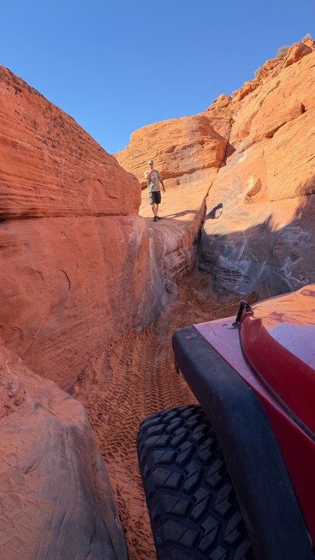
John's Access is a short, straight-through connecting trail between Sliplock Gulch and John's Trail. The road surface is mostly sandy, with a few protruding rocks. The most difficult spot along the trail is a wash crossing, where you drop a quick hill to enter the wash. The drop has a few small slickrock ledges poking out, but they can easily be maneuvered around if you think the ledges are too tall for your undercarriage. This trail is suitable for any high clearance vehicle, and airing down is highly recommended due to the rough terrain and soft sand.


About Sand Mountain

Sand Mountain is an extremely unique parcel of public land. Designated as an Open OHV Area, riders are free to make their own trails. Due to this, many of the long-established named trail routes have several variations that can take easier or more challenging routes through the intended trail. The GPX track for this trail helps you navigate the area, but various lines, bypasses, and additional obstacles may exist along the way. Riders are encouraged to stay on existing trails and not unnecessarily drive over or destroy vegetation.

Fees

Riding on Sand Mountain is entirely free. However, there are multiple entry/exit points for the area, including "the tunnel," which connects Sand Hollow State Park to the open OHV area. Any entry into the boundaries of Sand Hollow State Park requires a Utah State Park Pass.

Requirements

When operating on Sand Mountain, users must attach an orange or red safety flag to the vehicle, rising at least 8 feet off the ground.
Utah: Dominguez Falls Hero Photo
Scout Route Icon
5/5 (1 reviews)
Updated: 10/22/2025

Dominguez Falls

Hurricane, Utah

Tucked into the eastern expanse of Sand Mountain, Dominguez Falls is a short but action-packed trail that combines scenic slickrock climbs with the classic technical flavor Sand Hollow is known for. This two-part, counterclockwise loop begins with rolling sandstone and sandy stretches before quickly transitioning into a series of ledge climbs and off-camber shelves. Along the western half, drivers will find a variety of line options ranging from extreme challenges to complete bypasses, making it accessible to a wide range of capable rigs.

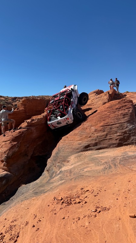
As the trail crosses Razzle Dazzle and turns north, it threads through shallow canyons and sculpted redrock contours carved by erosion. Here, the obstacles shift toward ledgy descents and suspension-twisting holes, culminating at the trail’s namesake feature, Dominguez Falls. This steep rock drop is framed by vertical walls and capped with loose sand at the base. The approach alone will stretch most suspensions to their limits, and poor positioning can easily cost taillights or rear corners. Spotters are strongly recommended, especially for longer wheelbase vehicles tackling the descent.

Rock sliders are essential, and lockers are highly recommended for the more technical climbs and traverses. This trail is best run in the afternoon, as early morning sun will continuously blind the driver during obstacle climbs.


About Sand Mountain

Sand Mountain is an extremely unique parcel of public land. Designated as an Open OHV Area, riders are free to make their own trails. Due to this, many of the long-established named trail routes have several variations that can take easier or more challenging routes through the intended trail. The GPX track for this trail helps you navigate the area, but various lines, bypasses, and additional obstacles may exist along the way. Riders are encouraged to stay on existing trails and not unnecessarily drive over or destroy vegetation.

Fees

Riding on Sand Mountain is entirely free. However, there are multiple entry/exit points for the area, including "the tunnel," which connects Sand Hollow State Park to the open OHV area. Any entry into the boundaries of Sand Hollow State Park requires a Utah State Park Pass.

Requirements

When operating on Sand Mountain, users must attach an orange or red safety flag to the vehicle, rising at least 8 feet off the ground.

Utah: Warner Cutoff Hero Photo
Scout Route Icon
3/5 (1 reviews)
Updated: 10/22/2025

Warner Cutoff

Washington, Utah

Traversing the transition zone between sandstone slickrock and the wide-open desert floor, this trail slices through the eastern half of the Sand Mountain OHV Area, tracing a section of the historic 1776 Dominguez Escalante Trail. Traveling from Razzle Dazzle to Warner Valley, the trail takes users to many other roads and trails in the area, passing through a variety of desert fauna native to southern Utah and northern Arizona. It is a low-end moderate trail that features extremely rough, slow-going terrain across a mostly sandy path with exposed slickrock and a few ledges 10"-12" high. This is not a technical trail, and most of the trail is easy, but the few ledges and the rough, slow-going terrain are where it earns the moderate rating. The eastern half of the trail crosses dry desert washes several times, where flash floods can be a real risk. At the far eastern end, dispersed camping can be widely found along Warner Valley and nearby spur roads. This trail is best suited for a high clearance 4x4 vehicle. Airing down is not mandatory, but it will greatly ease driving comfort.


About Sand Mountain

Sand Mountain is an extremely unique parcel of public land. Designated as an Open OHV Area, riders are free to make their own trails. Due to this, many of the long-established named trail routes have several variations that can take easier or more challenging routes through the intended trail. The GPX track for this trail helps you navigate the area, but various lines, bypasses, and additional obstacles may exist along the way. Riders are encouraged to stay on existing trails and not unnecessarily drive over or destroy vegetation.

Fees

Riding on Sand Mountain is entirely free. However, there are multiple entry/exit points for the area, including "the tunnel," which connects Sand Hollow State Park to the open OHV area. Any entry into the boundaries of Sand Hollow State Park requires a Utah State Park Pass.

Requirements

When operating on Sand Mountain, users must attach an orange or red safety flag to the vehicle, rising at least 8 feet off the ground.

Utah: Arizona Strip Road Hero Photo
Scout Route Icon
3/5 (1 reviews)
Updated: 02/02/2026

Arizona Strip Road

Hurricane, Utah

Arizona Strip Road is the most direct way into the Strip from Hurricane, Utah. It starts roughly around the small airpark within Hurricane and travels south, connecting to Warner Valley Road, The Honeymoon Trail, and finally joins BLM #1036. The road is suitable for any high clearance vehicle. There are numerous pre-disturbed boondocking/camping sites from start to finish.

Utah: DeKleined Hero Photo
Scout Route Icon
5/5 (1 reviews)
Updated: 10/22/2025

DeKleined

Hurricane, Utah

DeKleined is an extreme crawler's proving ground where precision meets punishment. Designed for full-tube buggies and the most capable rock crawlers, this route combines relentless climbs, narrow canyon squeezes, off-camber ledges, and deep sandstone cracks that demand complete precision. The name “DeKleined” comes from a local buggy driver who, upon his first attempt, was literally declined by the trail itself, a fitting tribute to what most rigs will experience here. The obstacles are unrelenting, with sections that will challenge even the best drivers to stay upright and keep their rig intact. Expect steep ascents that require perfect throttle modulation, body-twisting wedges that flirt with gravity, and notches deep enough to swallow rigs whole.


About Sand Mountain

Sand Mountain is an extremely unique parcel of public land. Designated as an Open OHV Area, riders are free to make their own trails. Due to this, many of the long-established named trail routes have several variations that can take easier or more challenging routes through the intended trail. The GPX track for this trail helps you navigate the area, but various lines, bypasses, and additional obstacles may exist along the way. Riders are encouraged to stay on existing trails and not unnecessarily drive over or destroy vegetation.

Fees

Riding on Sand Mountain is entirely free. However, there are multiple entry/exit points for the area, including "the tunnel," which connects Sand Hollow State Park to the open OHV area. Any entry into the boundaries of Sand Hollow State Park requires a Utah State Park Pass.


Requirements

When operating on Sand Mountain, users must attach an orange or red safety flag to the vehicle, rising at least 8 feet off the ground.
Utah: Dominguez Cutoff Hero Photo
Scout Route Icon
3/5 (1 reviews)
Updated: 10/22/2025

Dominguez Cutoff

Hurricane, Utah

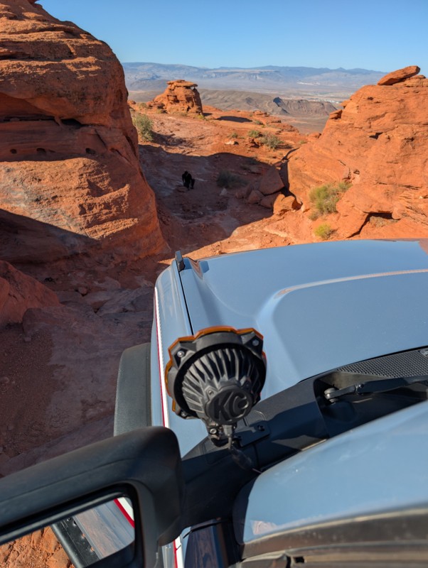
This is a short connector between Dominguez Falls and the east fenceline portion of Razzle Dazzle. It is an easy, but bumpy route comprised of mostly sand with sections of exposed slickrock. If trying to reach Dominguez Falls from the Green Gate or the tunnel, this is the fastest way to get there, and generally not as congested as the approach from Razzle Dazzle. A high clearance vehicle and aired down tires is all that is needed for this trail.


About Sand Mountain

Sand Mountain is an extremely unique parcel of public land. Designated as an Open OHV Area, riders are free to make their own trails. Due to this, many of the long-established named trail routes have several variations that can take easier or more challenging routes through the intended trail. The GPX track for this trail helps you navigate the area, but various lines, bypasses, and additional obstacles may exist along the way. Riders are encouraged to stay on existing trails and not unnecessarily drive over or destroy vegetation.

Fees

Riding on Sand Mountain is entirely free. However, there are multiple entry/exit points for the area, including "the tunnel," which connects Sand Hollow State Park to the open OHV area. Any entry into the boundaries of Sand Hollow State Park requires a Utah State Park Pass.

Requirements

When operating on Sand Mountain, users must attach an orange or red safety flag to the vehicle, rising at least 8 feet off the ground.
Arizona: 2051 Hero Photo
Scout Route Icon
4/5 (1 reviews)
Updated: 02/05/2026

2051

Hurricane, Arizona

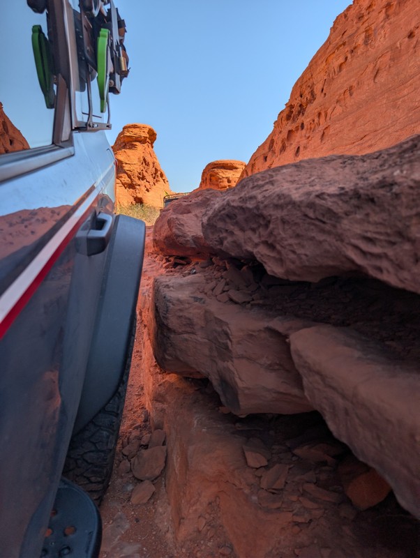
2051 is a short connector trail linking Warner Valley Road and BLM #1036. It serves as a convenient shortcut when traveling north–south on 1036 and needing to access Warner Valley.

The road is almost entirely hard-packed dirt, with a few ups and downs. It is suitable for any high-clearance vehicle. The route is scenic, and a small section passes through private land. There are no pre-disturbed campsites along its short distance.