


By clicking "ACCEPT", you agree to be the terms and conditions of each policy linked to above. You also agree to the storing of cookies on your device to facilitate the operation and functionality of our site, enhance and customize your user experience, and to analyze how our site is used.
Idaho Off-Road Trails
63
Total Trail Guides 60

644
Detailed Waypoints 302
Try a Free 7-Day Trial and unlock it all
Start a Free Trial Most Recent Trail Reviews
No Rating
Open
Visited: 09/19/2026
Fun drive, lots of dirt bikes and a few BDR Moto riders. Drove it in reverse direction.

Kim Richards
No Rating
Open
Visited: 09/19/2026
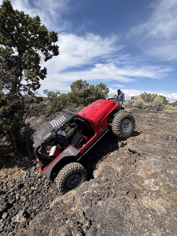
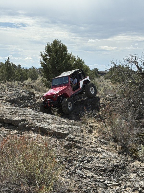
This trail was a great time. It is very unique, ive never been on a trail like it. the lava rock has plenty of traction and is pretty nasty on tires. But all in all I would recommend it to be done at ...
JP
Jared Pyne
Rated 3/5
Open
Visited: 09/15/2026
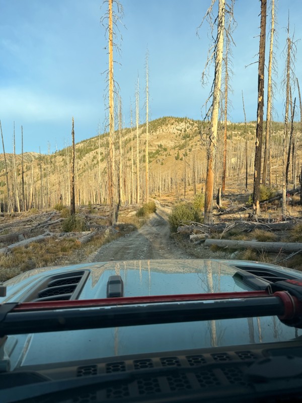
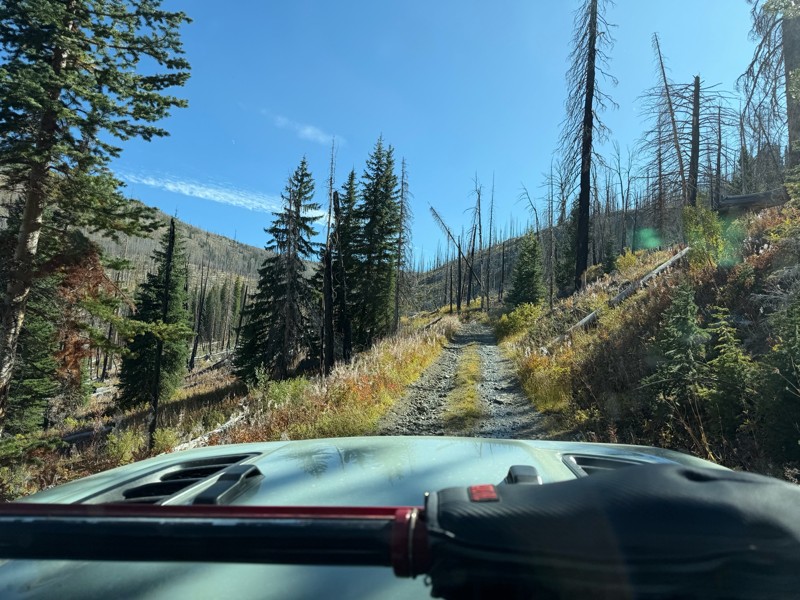
Trail consists of mostly narrow 2-track. Softball to soccer ball sized rocks. Slow going. Most of this forestland experienced fire in the past few years and is still recovering. Pulled a 9’ off-road t...
JH
Jason Holmes
No Rating
Open
Visited: 09/05/2026
Been going here for 57 years and the road keeps getting easier and easier. Sedans can make it.
BC
Bruce Chadwick
Rated 4/5
Open
Visited: 09/01/2026
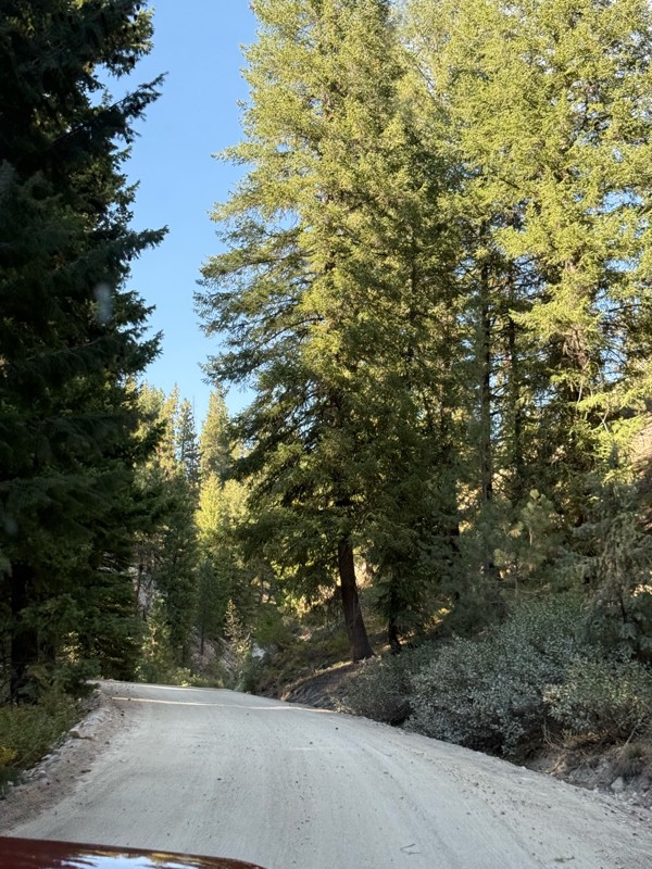
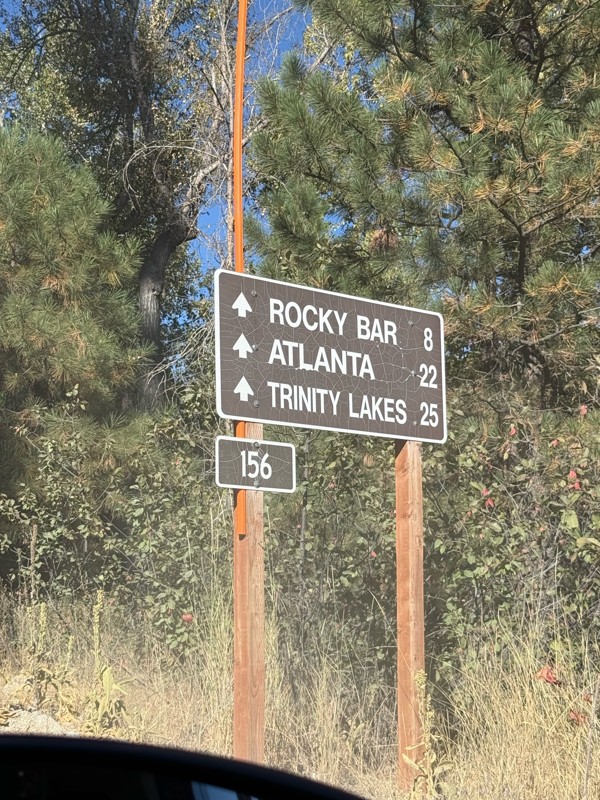
Easy trail that connects you to other great locations. Any vehicle could do this one.
PS
Paul Smith
Rated 4/5
Open
Visited: 09/01/2026
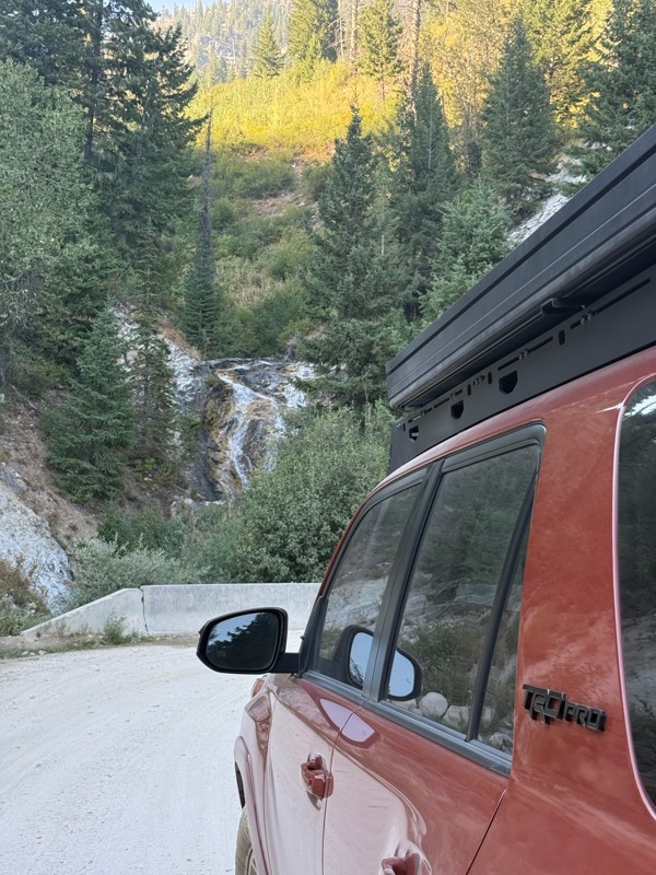
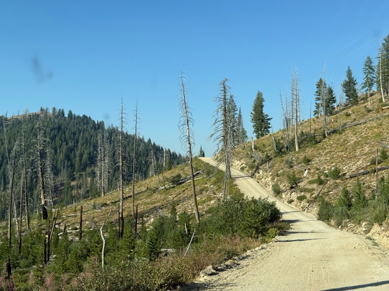
Pretty easy trail although there are some narrow spots along the way. Gets a bit bumpy and rocky as you head toward Atlanta but nothing difficult.
PS
Paul Smith
No Rating
Open
Visited: 09/01/2026
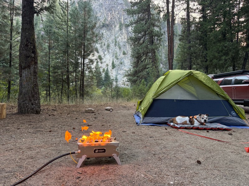
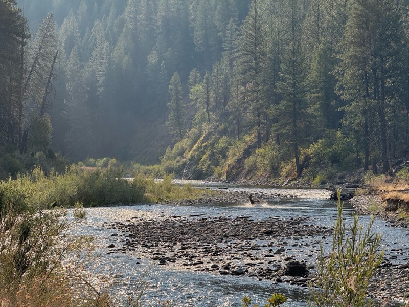
Beautiful and easy road. The smoke was wildfires was pretty bad but that can change. Any stock vehicle could do this at the moment. Campsites were all nearly empty which was a bonus.
PS
Paul Smith
Rated 3/5
Open
Visited: 08/22/2026
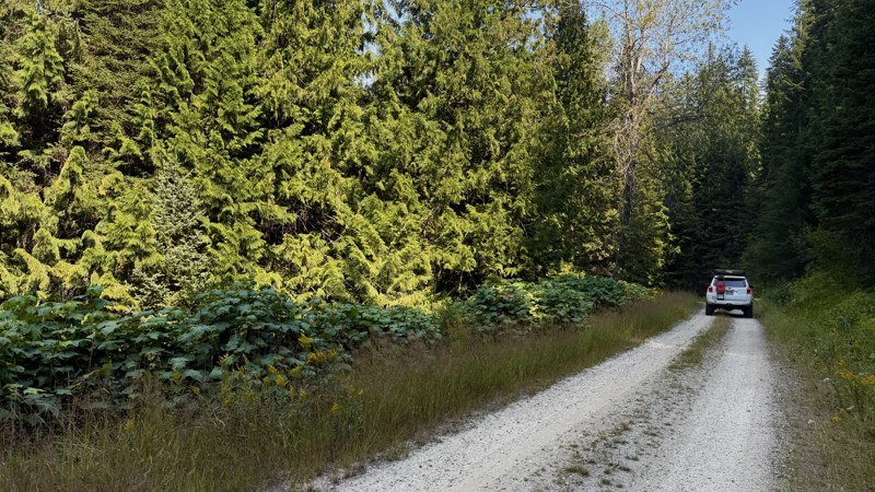
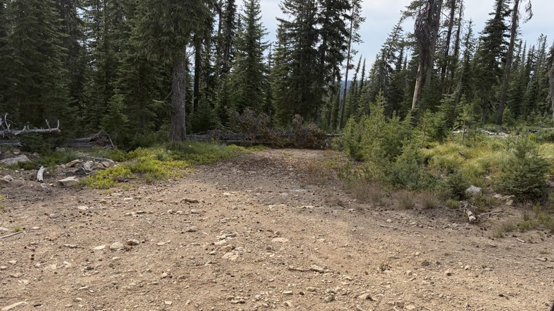
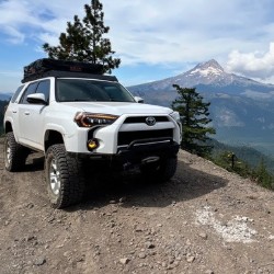
If it wasn't a very exciting trail, it still gets three stars because of how well-maintained it is. I can't even recall one single pothole the whole 4.5 miles. Otherwise, I was just using it as a conn...
Lorraine Bourget
Official Crew
Rated 3/5
Open
Visited: 08/22/2026
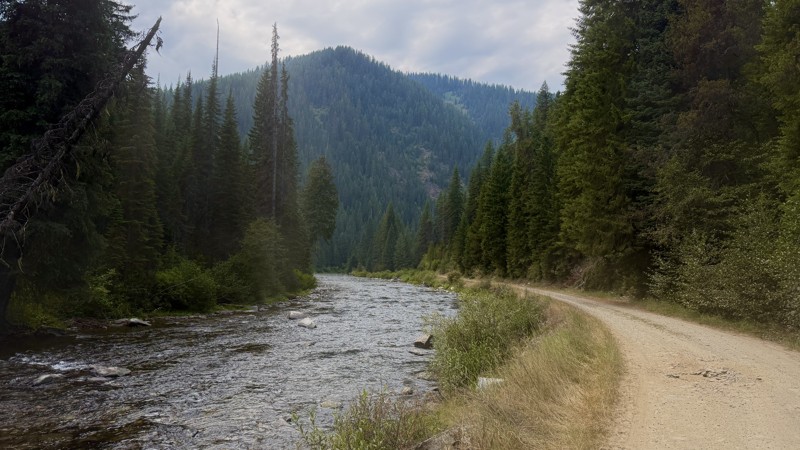
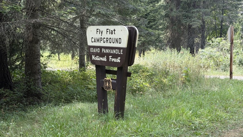
While it was a beautiful drive along the river, I'm rating this road 3 stars. Honestly, I planned my weekend around having the least amount of human contact possible but this section of my loop had ot...
Lorraine Bourget
Official Crew
Rated 5/5
Open
Visited: 08/22/2026
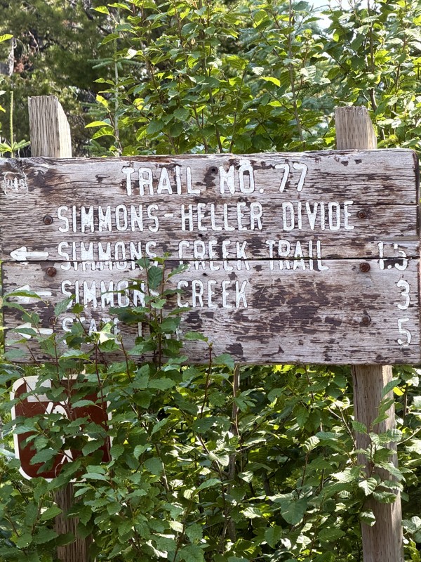
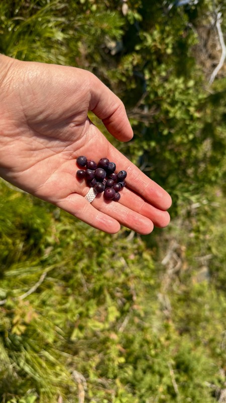
This trail holds a somewhat sentimental value to me. I randomly stumbled across it a couple of years ago when searching for somewhere to use my shower at the top of a mountain. Little did I know I wou...
Lorraine Bourget
Official Crew
Rated 4/5
Open
Visited: 08/21/2026
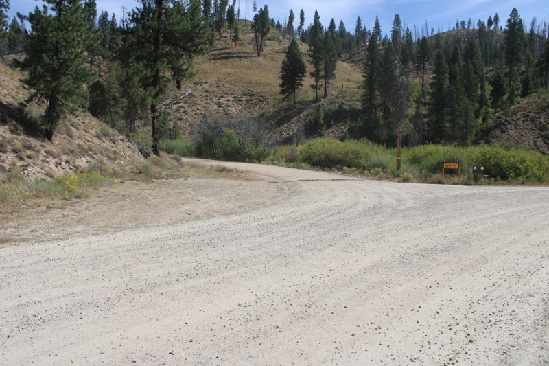
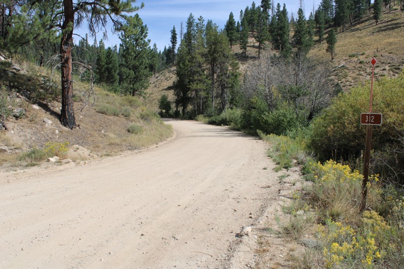
Pike's Fork Road is a spectacular drive into the heart of the Boise National Forest! One of the many dispersed campsites along its length makes an excellent destination for one night on a multi-night...

Bill Ward
Official Crew
Rated 5/5
Open
Visited: 08/16/2026
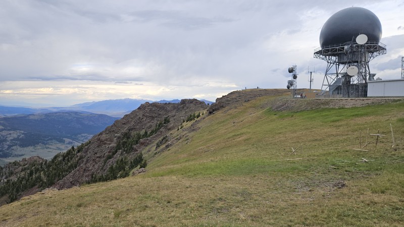
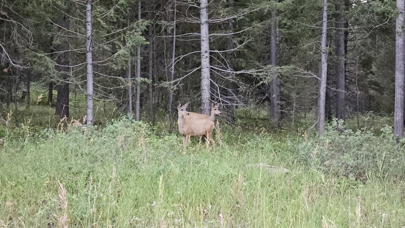
One person can give a group a bad name, especially in the side-by-side world, and that one was on the trail tonight like it was his private racetrack. Otherwise, a very peaceful and enjoyable drive. T...

Cory Wooldridge
Official Crew
Rated 5/5
Open
Visited: 08/11/2026
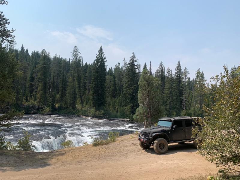
Great Jeep trail! Had fun running it and in pretty good shape. Dry and dusty with a few sections of rocks on decline/incline depending on what direction you’re going. No issues in my lifted Jeep. Not ...
JJ
Jill Jensen
No Rating
Open
Visited: 08/11/2026
Per the MVUM, the trail is seasonally open. As always, check current fire restrictions/closures before venturing out.

Trails Offroad
Official Crew
Open
Visited: 08/11/2026
Per the MVUM, the trail is seasonally open. As always, check current fire restrictions/closures before venturing out.
Trails Offroad
Official Crew
No Rating
Open
Visited: 08/11/2026
Per the MVUM, the trail is seasonally open. As always, check current fire restrictions/closures before venturing out.
Trails Offroad
Official Crew
No Rating
Open
Visited: 08/11/2026
Per the MVUM, the trail is seasonally open. As always, check current fire restrictions/closures before venturing out.
Trails Offroad
Official Crew
No Rating
Open
Visited: 08/11/2026
Per the MVUM, the trail is seasonally open. As always, check current fire restrictions/closures before venturing out.
Trails Offroad
Official Crew
No Rating
Open
Visited: 08/11/2026
Per the MVUM, the trail is seasonally open. As always, check current fire restrictions/closures before venturing out.

Todd
Official Crew
No Rating
Open
Visited: 08/11/2026
Per the MVUM, the trail is seasonally open. As always, check current fire restrictions/closures before venturing out.
Todd
Official Crew
No Rating
Open
Visited: 08/11/2026
Per the MVUM, the trail is seasonally open. As always, check current fire restrictions/closures before venturing out.
Todd
Official Crew
No Rating
Open
Visited: 08/11/2026
Per the MVUM, the trail is seasonally open. As always, check current fire restrictions/closures before venturing out.
Todd
Official Crew
No Rating
Open
Visited: 08/11/2026
Per the MVUM, the trail is seasonally open. As always, check current fire restrictions/closures before venturing out.
Todd
Official Crew
No Rating
Open
Visited: 08/11/2026
Per the MVUM, the trail is seasonally open. As always, check current fire restrictions/closures before venturing out.
Todd
Official Crew
No Rating
Open
Visited: 08/11/2026
Per the MVUM, the trail is seasonally open. As always, check current fire restrictions/closures before venturing out.
Todd
Official Crew
No Rating
Open
Visited: 08/11/2026
Per the MVUM, the trail is seasonally open. As always, check current fire restrictions/closures before venturing out.
Todd
Official Crew
No Rating
Open
Visited: 08/11/2026
Per the MVUM, the trail is seasonally open. As always, check current fire restrictions/closures before venturing out.
Todd
Official Crew
No Rating
Open
Visited: 08/11/2026
Per the MVUM, the trail is seasonally open. As always, check current fire restrictions/closures before venturing out.
Trails Offroad
Official Crew
No Rating
Open
Visited: 08/11/2026
Per the MVUM, the trail is seasonally open. As always, check current fire restrictions/closures before venturing out.
Trails Offroad
Official Crew
No Rating
Open
Visited: 08/11/2026
Per the MVUM, the trail is seasonally open. As always, check current fire restrictions/closures before venturing out.
Trails Offroad
Official Crew
No Rating
Open
Visited: 08/11/2026
Per the MVUM, the trail is seasonally open. As always, check current fire restrictions/closures before venturing out.
Trails Offroad
Official Crew
No Rating
Open
Visited: 08/11/2026
Per the MVUM, the trail is seasonally open. As always, check current fire restrictions/closures before venturing out.
Trails Offroad
Official Crew
No Rating
Open
Visited: 08/11/2026
Per the MVUM, the trail is seasonally open. As always, check current fire restrictions/closures before venturing out.
Trails Offroad
Official Crew
No Rating
Open
Visited: 08/11/2026
Per the MVUM, the trail is seasonally open. As always, check current fire restrictions/closures before venturing out.
Trails Offroad
Official Crew
No Rating
Open
Visited: 08/11/2026
Per the MVUM, the trail is seasonally open. As always, check current fire restrictions/closures before venturing out.
Trails Offroad
Official Crew
No Rating
Open
Visited: 08/11/2026
Per the MVUM, the trail is seasonally open. As always, check current fire restrictions/closures before venturing out.
Trails Offroad
Official Crew
No Rating
Open
Visited: 08/11/2026
Per the MVUM, the trail is seasonally open. As always, check current fire restrictions/closures before venturing out.
Trails Offroad
Official Crew
No Rating
Open
Visited: 08/11/2026
Per the MVUM, the trail is seasonally open. As always, check current fire restrictions/closures before venturing out.
Trails Offroad
Official Crew
No Rating
Open
Visited: 08/11/2026
Per the MVUM, the trail is seasonally open. As always, check current fire restrictions/closures before venturing out.
Trails Offroad
Official Crew
No Rating
Open
Visited: 08/11/2026
Per the MVUM, the trail is seasonally open. As always, check current fire restrictions/closures before venturing out.
Trails Offroad
Official Crew
No Rating
Open
Visited: 08/11/2026
Per the MVUM, the trail is seasonally open. As always, check current fire restrictions/closures before venturing out.
Trails Offroad
Official Crew
No Rating
Open
Visited: 08/11/2026
Per the MVUM, the trail is seasonally open. As always, check current fire restrictions/closures before venturing out.
Trails Offroad
Official Crew
No Rating
Open
Visited: 08/11/2026
Per the MVUM, the trail is seasonally open. As always, check current fire restrictions/closures before venturing out.
Trails Offroad
Official Crew
No Rating
Open
Visited: 08/11/2026
Per the MVUM, the trail is seasonally open. As always, check current fire restrictions/closures before venturing out.
Trails Offroad
Official Crew
No Rating
Open
Visited: 08/11/2026
Per the MVUM, the trail is seasonally open. As always, check current fire restrictions/closures before venturing out.
Trails Offroad
Official Crew
No Rating
Open
Visited: 08/11/2026
Per the MVUM, the trail is seasonally open. As always, check current fire restrictions/closures before venturing out.
Trails Offroad
Official Crew
No Rating
Open
Visited: 08/11/2026
Per the MVUM, the trail is seasonally open. As always, check current fire restrictions/closures before venturing out.
Trails Offroad
Official Crew
No Rating
Open
Visited: 08/11/2026
Per the MVUM, the trail is seasonally open. As always, check current fire restrictions/closures before venturing out.
Trails Offroad
Official Crew
No Rating
Open
Visited: 08/11/2026
Per the MVUM, the trail is seasonally open. As always, check current fire restrictions/closures before venturing out.
Trails Offroad
Official Crew
No Rating
Open
Visited: 08/11/2026
Per the MVUM, the trail is seasonally open. As always, check current fire restrictions/closures before venturing out.
Trails Offroad
Official Crew
Most Popular

Updated: 10/15/2024
Fall Creek Road
Swan Valley, Idaho
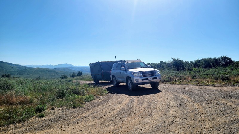
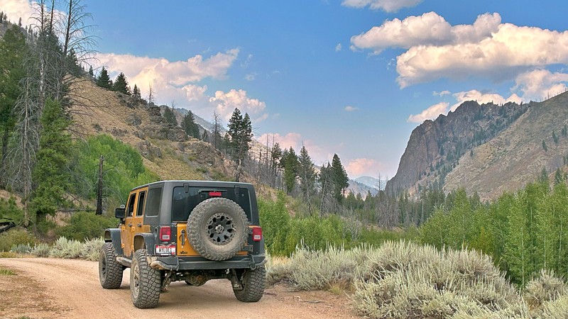
This trail is an overland traverse between the stunning Swan Valley on the Wyoming border and Idaho Falls. The trail leads through the beautiful Caribou range of hills and mountains. It is a busy stretch of trail with large group campsites and HOV trails from Swan Valley. There are no technical challenges on this road, only a very dusty, gradual 1400-foot ascent and scenic views before linking up with the Kepps Crossing road to complete the journey to Idaho Falls. Be aware that area farmers and ranchers use this road. You may occasionally come across a large water truck or farming equipment heading up and down this road that does include private parcels of land.
Updated: 10/16/2023
Loon Creek
Stanley, Idaho
Loon Creek Road, designated as NF-007, winds its way through the backcountry of Idaho, beckoning adventurous spirits to delve deep into the untamed heart of this region. This trail is an open invitation to explore the natural beauty, the remnants of a bygone mining era, and the profound serenity that defines the vast expanse of the Salmon-Challis National Forest and the Frank Church River of No Return Wilderness.
While journeying along this road, you'll encounter remarkable landmarks. These include the ghostly echoes of Casto, an abandoned mining settlement, the historical Oro Grande mining community, the Upper Loon Creek Airfield, the well-appointed Tin Cup Campground, and the Philips Creek Transfer Camp. Each of these destinations adds a unique facet to the captivating tapestry of this wild and remote landscape.

Updated: 07/23/2023
West Fork Alder Creek
Garden Valley, Idaho
The west fork of Alder Creek is in the beautiful Boise National Forest. It is mid-way between Placerville to the south and Garden Valley to the north. Placerville is a border-line ghost town from the 1800s and it's by-gone mining and logging prosperity. Garden Valley, with the south fork of the Payette River running through it, is internationally known for its white-water kayaking. The foliage and forest canopy of this trail has to be experienced to fully appreciate the beauty you will see from this trail. It is also a major ranging area for thousands of elk. The trail itself is well known to campers and hunters alike. This trail is in hunter unit #33 for those needing to research seasons and game.
Updated: 10/15/2024
Dagger Falls
Grandjean, Idaho
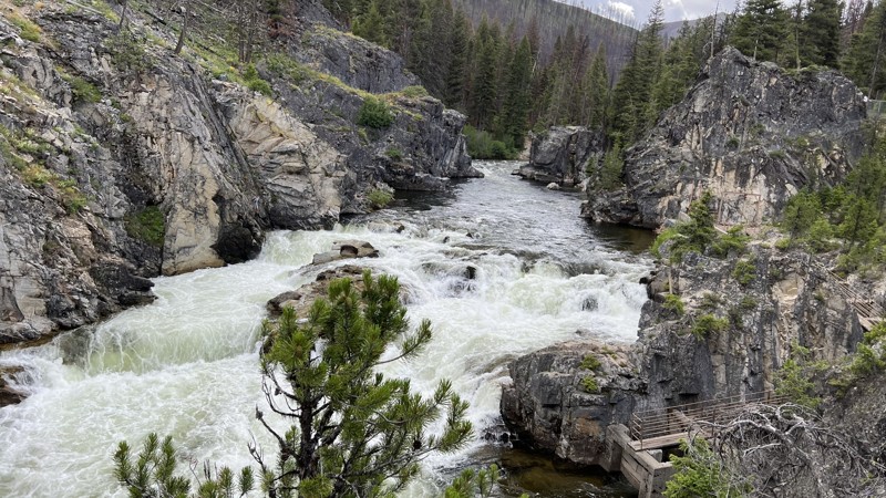
Take a scenic, leisurely drive to one of the coolest waterfalls around. Dagger Falls is an epic water feature on the Salmon River. Watch the salmon try to jump the falls or work around the fish ladder. Sheep and goat sightings are common in the surrounding high hills.
Although mostly a graded gravel road, switchbacks and exposed rock require attention. The road does get narrow, and since this is a popular boat launch for rafts in the summer, the chances of meeting pickups towing trailers are good. Take it slow around the blind corners, and make sure to stay in your lane.
Dagger Falls Campground s located at the falls. If camping next to a roaring river is your idea of sound effects, check this one out.
Updated: 10/15/2024
Prairie Road
Dixie, Idaho
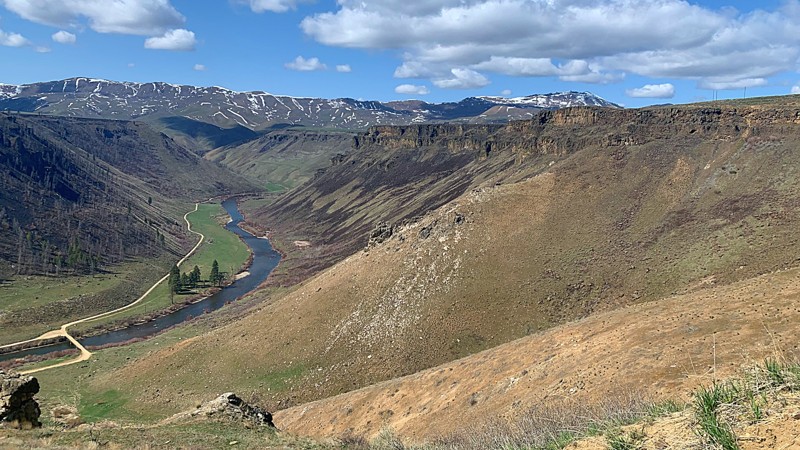
Prairie Road is the main access road from the tiny town of Prairie nestled at the bottom of the Trinity Mountain range to the closest city of Mountain Home. Prairie Road has a range of ranchlands, canyons with rock formations, and journeys along part of the South Fork Boise River. The trail is a beautiful drive in all seasons, with opportunities to see deer, elk, and eagles nesting along the road. Near the town of Prairie, the lookout at the peak of Danskin Mountain can be seen. There are some dispersed campsites available along the area that follows the river. The Danskin Floatboat Access and the Cow Creek Floatboat Access also provides a launch site for whitewater rafts into the South Fork River with pit toilets and an information kiosk on site.
Updated: 10/15/2024
Crow Creek Road
Geneva, Idaho
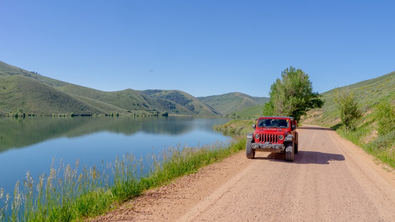
Crow Creek Road runs as a long arterial route through the Montpelier Ranger District and, if run in its entirety out of the national forest, takes you from Montpelier Reservoir across the border into Afton, WY. Camping along this route is mainly limited to the reservoir campground, a couple of sites around Giveout Camp (roughly 6 miles from the reservoir), and a couple more near the final spurs (roughly 1.5 from the end of the route).
Updated: 08/20/2025
West Mountain Jeep Trail
Cascade, Idaho
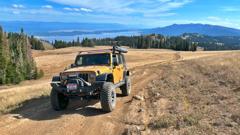
This historic single-lane road winds along the crest of West Mountain for an impressive stretch of more than 20 miles. Traversing the ridge reveals breathtaking panoramic vistas of the valley below, with Cascade Reservoir gracing the backdrop. Additionally, you'll discover access points to numerous alternative routes along the journey.
This trail isn't tailored for those seeking an easy, smooth forest service road. Instead, it beckons to adventurers who relish the challenge of an authentic jeep trail that demands vehicle clearance, precise tire placement, and the occasional off-camber moment. The payoff, however, is an unforgettable memory of the awe-inspiring views along the mountain ridge.
Be prepared for the possibility of pinstriping, particularly in the narrow stretches alongside the treeline. You'll also encounter boulders, especially on the inclines, and there's an abundance of washouts to navigate. This is not a trail to do when it's wet or muddy, as it would be impassable in places. While designated campsites may be scarce, ample pull-off spots and spur routes are ideal for dispersed camping. Always bear in mind the essential principle of Leave No Trace.
Updated: 10/03/2025
Rim Runner
Twin Falls, Idaho
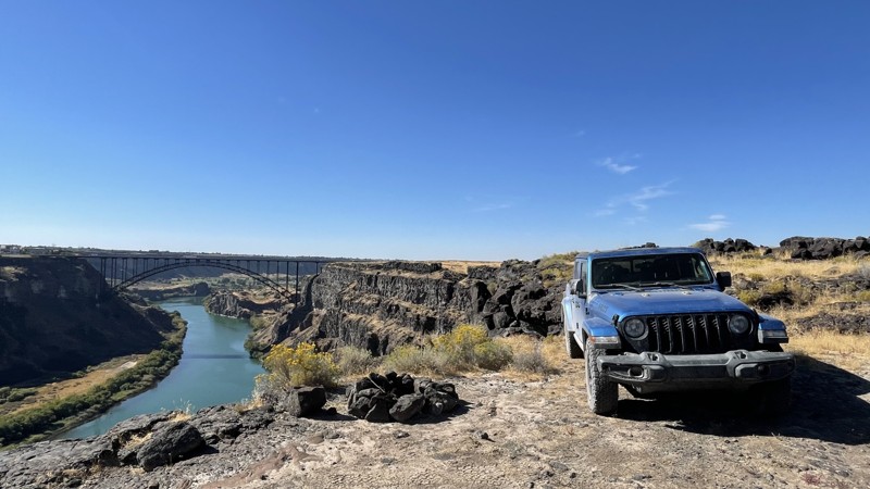
Rim Runner is in an open OHV area with many unmarked/unnamed roads/trails. This route runs near the rim of the Snake River Gorge. Various spurs with great views and photo opportunities for the Twin Falls Bridge, the Snake River Gorge, and multiple waterfalls. The Twin Falls Bridge is one of the only bridges you can legally base jump off of, so if you are lucky, you might get a show. Like much of southern Idaho, lava rocks of all shapes and sizes abound. This has caused very uneven wear on the roads and trails and can cause ground clearance issues for any vehicle that doesn’t have adequate clearance. A paved highway divides the rim area from the rest of the OHV area and provides pullouts so visitors can walk the .5 miles or less out to the rim.
Along the rim is day use only. Dispersed campsites are allowed on the other side of the paved road.
Updated: 06/16/2025
Deadwood Reservoir South
Grimes Pass, Idaho
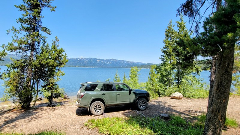
The southern entrance to Deadwood Reservoir runs through the Boise National Forest on Scott Mountain Road, NFSR 555, a graded dirt road that any high-clearance 2WD can handle. The trail has scenic forest views that occasionally open up, providing glimpses of the rugged Sawtooth Mountain Range in the distance to the east.
Deadwood Reservoir is a medium size lake with lush trees and mountains surrounding it. There are campgrounds on the south, east, and north sides. Cozy Cove Campground is on the south side of the reservoir and has amazing spots right on the water.
Updated: 06/11/2024
Rowland Road
Bruneau, Idaho
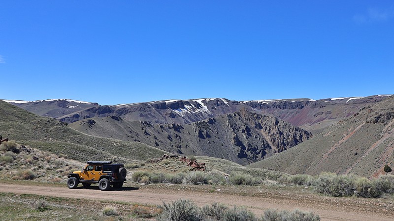
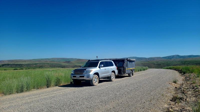
Embarking on Rowland Road unveils a vital route to the secluded mining town of Jarbidge. Beginning in the Owyhee Desert and stretching into the Humboldt-Toiyabe National Forest, the trail enchants with its diverse landscape. From sprawling plateaus serving as free-range cattle grazing grounds to panoramic views of the Jarbidge Mountain Range, the journey culminates in ghostly remnants of buildings and mining activities, whispering tales of a bygone era.
Updated: 06/03/2025
Keeps Crossing
Guyaz, Idaho
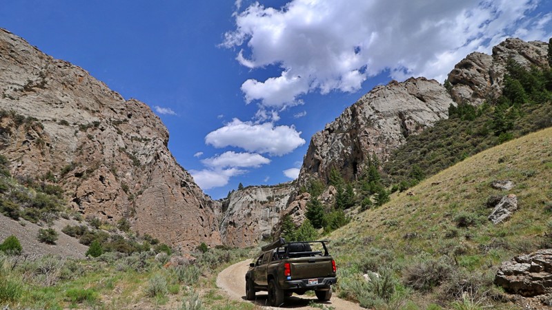
Kepps Crossing is one part of a two-part route linking up with Fall Creek Road from the incredible Swan Valley area to Idaho Falls over the Caribou range. Kepps Crossing is tame and easily traversed by 2WD vehicles. The road brings travelers through rolling hills, small creeks, farmland, and wind farms before dropping into the southeastern edge of Idaho Falls. No technical or terrain challenges outside of a few wide switchbacks and gradual elevation changes. There is no camping along this part of the route.
Updated: 08/11/2025
Skull Canyon and Mine
Blue Dome, Idaho
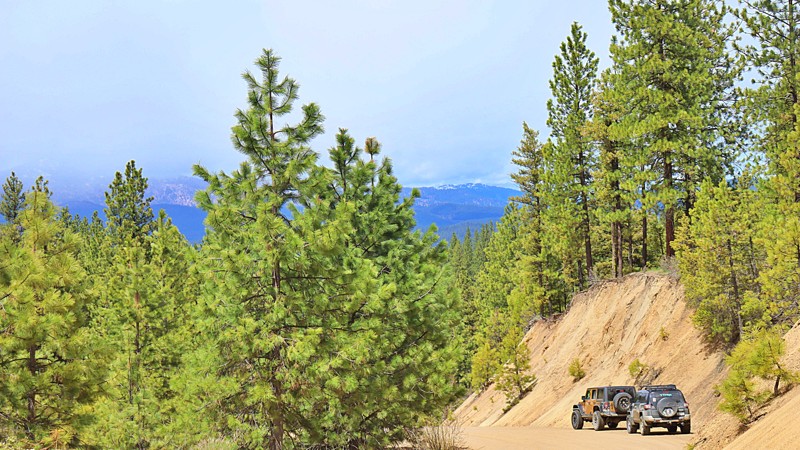
Tucked into the sagebrush wilds of Clark County, Idaho, Skull Canyon winds into the Bitterroot Range, revealing dramatic limestone walls formed over 325 million years ago. Even if you're not a geology buff, it’s hard not to be captivated by the canyon's sculpted rock faces, with hardy desert plants gripping the walls and weathered formations that look like the backdrop of a lost frontier.
From the outset, the road into Skull Canyon is unconventional. The narrow two-track cuts straight through the field of an old ranch once run by the Kaufman family in the 1890s. That alone sets the tone for the remote and untamed experience that lies ahead. Ben Lyons, the Kaufman’s foster son, is said to have stumbled upon a cave filled with human skulls here, giving rise to the canyon’s foreboding name. Whether the remains were from ancient tribal conflicts or something else entirely, the canyon’s eerie energy fuels the imagination. One look at the steep, shadowy walls and it’s easy to picture this place as a hiding ground or sacred refuge. A dispersed camping site is nestled within the canyon.
Eventually, the canyon releases you into the rolling, open foothills of the Lemhi Range, where the trail splits and options for further exploration or remote camping open up. One such fork leads you up toward the old Skull Mine, also known as the Weimer Mine, a relic of Idaho’s boom-and-bust mining days. First tapped in the 1880s, this rugged site produced lead, silver, copper, and zinc, with ore once shipped to the smelters at Nicholia and Hahn. Today, the mine lies dormant, but remnants of its past remain scattered across the slope.
The climb up to the mine is steep, washed out, and littered with loose, soccer-ball-sized rocks. It’s the kind of pitch where you’ll want to air down and lock in 4Lo.
Whether you come for the old mines, the ghostly legends, or the canyon’s raw beauty, Skull Canyon is a place where Idaho’s wild past and rugged terrain still echo loud and clear. Bring a capable rig, a sense of curiosity, and maybe a friend, because Skull Canyon is the kind of place that might leave you with more questions than answers.
Updated: 09/26/2025
Centerville Road
Placerville, Idaho
Centerville Road connects the historic mining community of Centerville and Horseshoe Bend to the west and Idaho City to the southeast. Centerville was one of the four prominent mining camps that emerged during the Boise Basin gold rush of 1862. By September of 1863, Centerville had a population of almost 3,000 people, making it the fourth-largest camp in the Boise Basin behind Idaho City, Placerville, and Pioneerville, and the fourth largest city in the area that is now Idaho. Unlike Placerville and Idaho City, which have survived and are active towns today, nothing remains of Centerville except a few homes. This trail is mainly a graded dirt road that is only paved near Centerville and Idaho City and offers scenic views of the Boise and West Mountains.

Updated: 06/05/2022
Cabarton Road
Cascade, Idaho
FS645 Cabarton Road is in the Boise National Forest. This trail is a great 15-mile trek to Cascade Lake until the Wilks brothers decided to block access with a locked gate. The area is still beautiful with the Tripod Meadow and Tripod Creek nearby. There are dozens of dispersed campsites in the area but be aware of the wild animals that call this forest home in addition to the hunters that hunt them.

Updated: 08/28/2023
Archie Creek Road
Lowman, Idaho
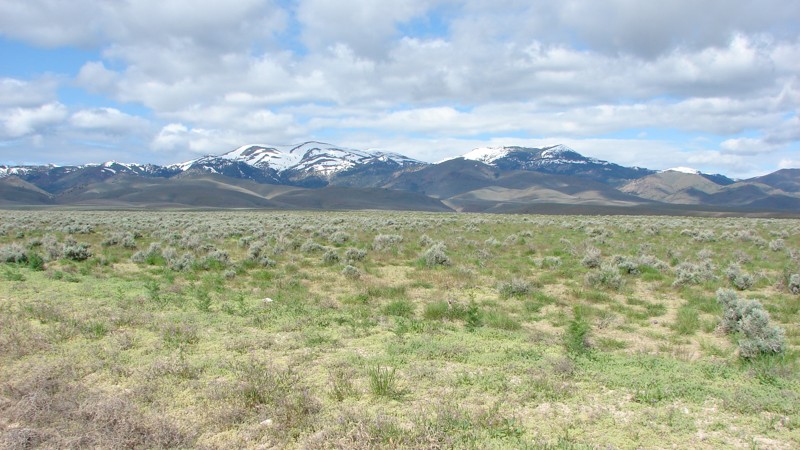
Archie Creek Road, FR-542, is a mountain ridge road located in the central part of the Boise National Forest. The Boise National Forest covers a vast 2.5 million acres ranging from forest and grassland. This trail is approximately 2 hours from Boise and an hour from the historic mining town of Idaho City. This is a great option if you want to avoid the crowds on Idaho-21 or just want to look at mountains and feel like you are on top of the world as this road winds down off of the Banner Ridge offering impressive views of the surrounding mountains and ridges within the Boise National Forest. There is a great overlook that offers an amazing view of the Idaho -21/Ponderosa Pine Scenic Route and the Payette River. The trail then descends down, crosses the Payette River, and passes through the small community of Kirkham. There is one dispersed campsite on this trail in a great open area with 360 panoramic views of the nearby mountain peaks and ridges.
Updated: 10/15/2024
Bachman Grade Road
Oreana, Idaho
Bachman Grade Road, also called Triangle Road, is an easy and scenic excursion south from the little town of Oreana. Bachman Grade is a well-maintained, mostly two-lane, gravel road suitable for any vehicle. The trail starts in the relatively flat sagebrush steppe and climbs to about 6000 feet at Toy Pass. There are views of the mountains across the open sagebrush from the steppe. As you climb towards Toy Pass, views of the steppe and the mountains to the north of the Snake River Plain emerge.
In 2019, the BLM started the Bruneau-Owyhee Sage-Grouse Habitat (BOSH) Project to improve sage-grouse habitat in 617,000 acres. The project includes cutting down many of the juniper trees that crept into the sage-grouse breeding areas. Piles of cut juniper trees are waiting to be burned or removed.
While there are no designated camping areas along the road, dispersed camping is available. Few places scream “Camp Here!” but ample spots for a quick camp exist. When camping, avoid the private land along the road.
Unfortunately, the road is gated at a private property boundary around mile 23.
Owyhee County in Southwest Idaho has over 5000 square miles of desert, canyons, and mountains. There are no services in the entire area, and cell coverage is spotty. Being adequately prepared for any contingency is a must.
Updated: 08/11/2026
East Heise Road
Poplar, Idaho
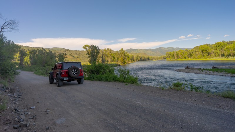
East Heise Road runs along the picturesque Snake River just a half hour northeast of Idaho Falls. This trail is an easy, well-graded dirt road with plenty of opportunities for camping, fishing, and boating. The area is beautiful and popular, particularly before the Wolf Flats Recreation Area. Travel farther down for a little more solitude. The trail deadends at ATV and Hiking trailheads, but there is a small loop with room to turn around.
The trail passes through a section of BLM land at the start. Camping in the BLM land is only allowed at designated sites identified by metal fire rings. There is a limit of 5 days. Once entering the Caribou-Targhee National Forest there are additional dispersed campsites with rock fire rings.
Updated: 10/15/2024
Twin Peaks Lookout
Challis, Idaho
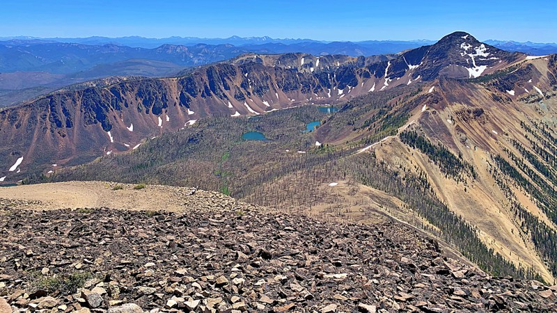
This trail to the highest active fire lookout in the Pacific Northwest is an exciting one to drive, and the views are well worth the frayed nerves! This trail is the second highest road in Idaho and tops over 10,000 feet in elevation. It is a very narrow single track with 11 hairpin turns. The summit hosts the highest occupied lookout established in 1913 and a helipad. Views are unobstructed to the Continental divide on the north, seventy-five miles distant. You can see three-fourths of the Salmon-Challis forest of over a million acres from this point. There are no camping sites on this trail, but there are dispersed camping sites at the trailhead.
Updated: 06/05/2022
East Fork Alder Creek
Garden Valley, Idaho
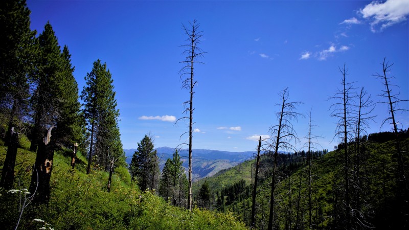
This trail is in the Boise National Forest a few miles north of Placerville, an almost ghost town from the 1800s. From a population of 3,300, it has dwindled to 50 as of the last census. Placerville was established because of the gold and silver discovered in nearby Mineral Mountain. You can discover several mines near these trails end by exploring the link above. Garden Valley to the north is winter grazing for a huge herd of elk which frequent this area as well. Early spring is the best time to search for the prized antler racks that get shed yearly. Many animals live in this forest, including mountain lion, black bear, and wolf. The Boise National Forest is prized for its diversity, including hunting, fishing, camping, hiking, 4-wheeling, and just relaxing.
Updated: 06/05/2022
Middle Fork Payette
Garden Valley, Idaho
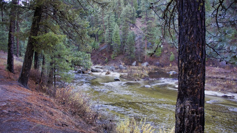
The Boise National Forest offers an incredible variety of geography, fauna, foliage, and recreational activities. The Middle Fork Payette provides just about everything in one 15 mile package. Starting with the beautiful river and different levels due to snowmelt or late fall, you'll be amazed around every turn. This trail is a campers' paradise with room for hundreds of people to enjoy the outdoors, but never a feeling of being crowded. The sites will be appreciated by those who just want to unwind for a night or even a week or two. You'll also be able to fish for whitefish and trout, along with hunting big game in season, hiking, snowmobiling, and 4-wheeling. If you need even more, you have the hot springs to soak in around the 5-mile mark and also at the end of the trail.
Updated: 08/11/2026
Kelly Canyon
Heise, Idaho
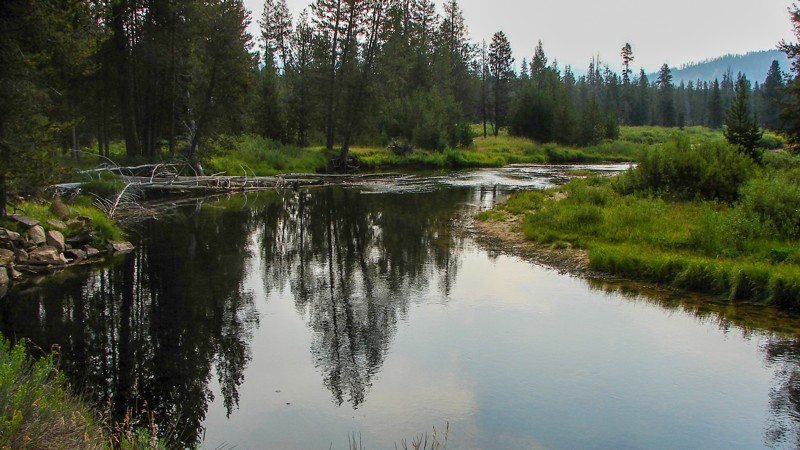
At its westernmost point, Kelly Canyon starts at the Kelly Canyon Ski Resort at the Caribou-Targhee NF border. This long trail briefly leaves the national forest, crossing into Idaho Dept. of Lands territory before dropping back in as Long Hollow Road. Plentiful dispersed camping is available with a 5-day limit. The road is easy and well-maintained. Long Hollow Road can even be taken all the back to Highway 33, east of Rexburg.
Updated: 08/14/2026
Landmark-Stanley Road
Landmark, Idaho
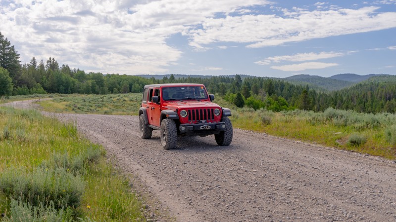
The Landmark-Stanley Road is an easy gravel road suitable for any vehicle. There are a few small washouts and potholes. Three campgrounds are along the road, and there are ample places for dispersed camping. Landmark-Stanley has a little something for everyone: sections of wide open meadows, picturesque streams, dense forests, and open rocky hillsides. The primary hazard is dust, which can be blinding at times.
Landmark-Stanley is one of the access routes to Deadwood Reservoir and is part of the access to Yellow Pine, Stanley, and Cascade.

Updated: 06/05/2022
Wash Creek
Banks, Idaho
690 Wash Creek is in the Boise National Forest, east of Garden Valley. The trail is only an hours drive from the busier Boise area, so it's an ideal destination for some quick 4-wheeling fun. The trail is just a few hundred feet south of the beautiful South Fork Payette River, which is world renowned for its whitewater rafting and kayaking competitions. The scenery along the trail and creek is spectacular, especially in the spring and fall. Your dogs will be welcome on this trail but keep them close at hand.
Updated: 10/15/2024
Deadwood Reservoir
Lowman, Idaho
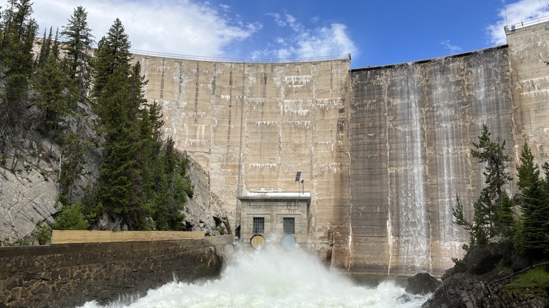
Deadwood Reservoir is a huge engineering marvel that you wouldn't expect to find at the end of a long dirt road. The graded road passes through a nice forest until the lake suddenly appears. Since boating and camping are popular here, expect slow-moving traffic pulling boats and trailers. There are multiple campgrounds around the lake, as well as dispersed camping.

Upgrade your Membership
Unlock all of the details on every Trail Guide and Scout Route.
Start a 7-day Free TrialCommunity
Partners

