


By clicking "ACCEPT", you agree to be the terms and conditions of each policy linked to above. You also agree to the storing of cookies on your device to facilitate the operation and functionality of our site, enhance and customize your user experience, and to analyze how our site is used.
Idaho Off-Road Trails
63
Total Trail Guides 60

644
Detailed Waypoints 302
Try a Free 7-Day Trial and unlock it all
Start a Free Trial Most Recent Trail Reviews
No Rating
Open
Visited: 09/19/2026
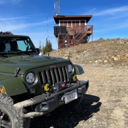
Fun drive, lots of dirt bikes and a few BDR Moto riders. Drove it in reverse direction.

Kim Richards
No Rating
Open
Visited: 09/19/2026
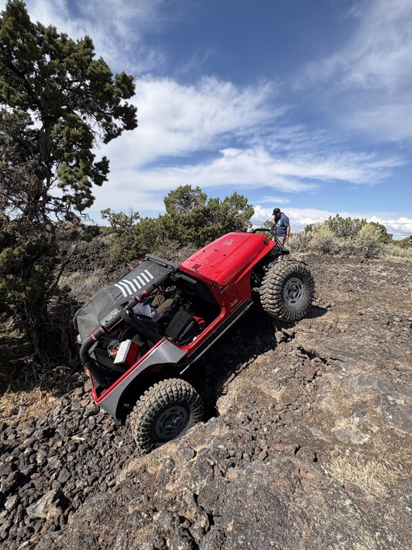
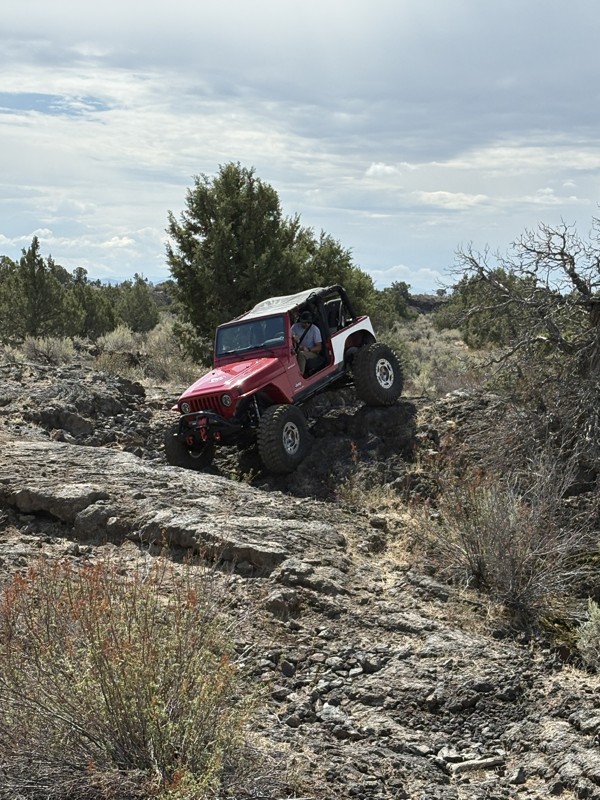
This trail was a great time. It is very unique, ive never been on a trail like it. the lava rock has plenty of traction and is pretty nasty on tires. But all in all I would recommend it to be done at ...
JP
Jared Pyne
Rated 3/5
Open
Visited: 09/15/2026
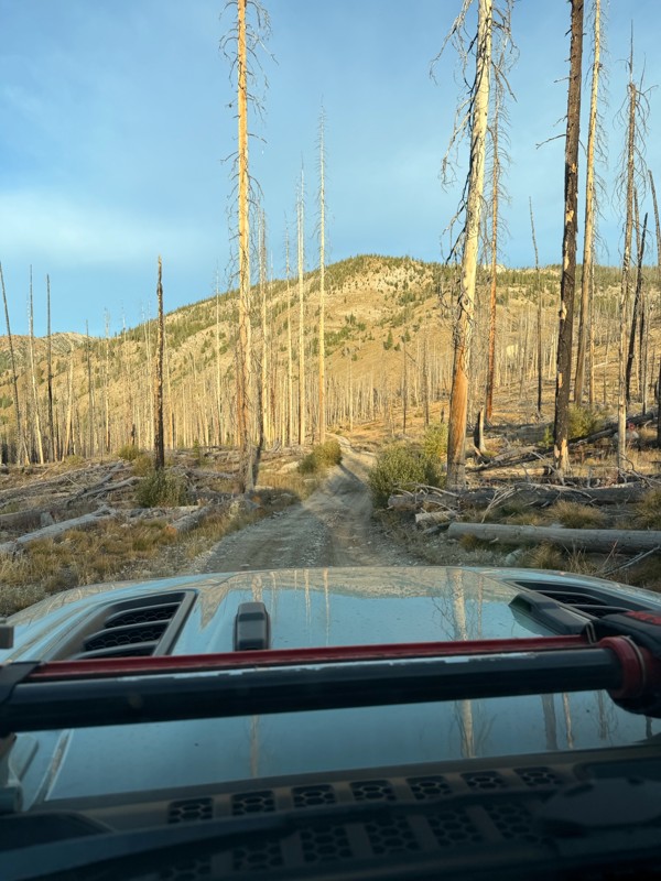
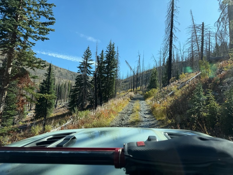
Trail consists of mostly narrow 2-track. Softball to soccer ball sized rocks. Slow going. Most of this forestland experienced fire in the past few years and is still recovering. Pulled a 9’ off-road t...
JH
Jason Holmes
No Rating
Open
Visited: 09/05/2026
Been going here for 57 years and the road keeps getting easier and easier. Sedans can make it.
BC
Bruce Chadwick
Rated 4/5
Open
Visited: 09/01/2026
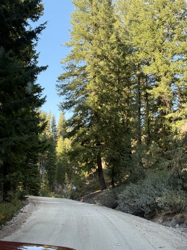
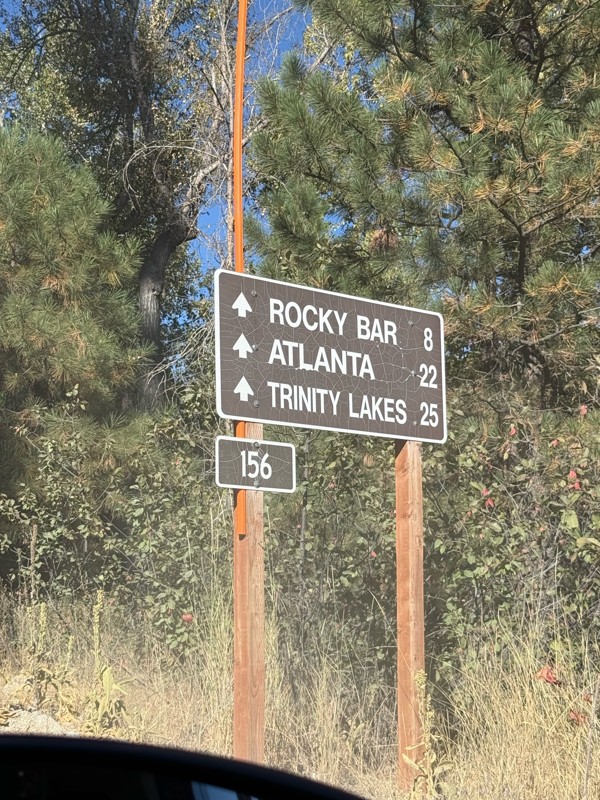
Easy trail that connects you to other great locations. Any vehicle could do this one.
PS
Paul Smith
Rated 4/5
Open
Visited: 09/01/2026
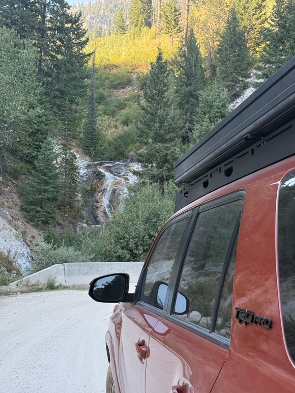
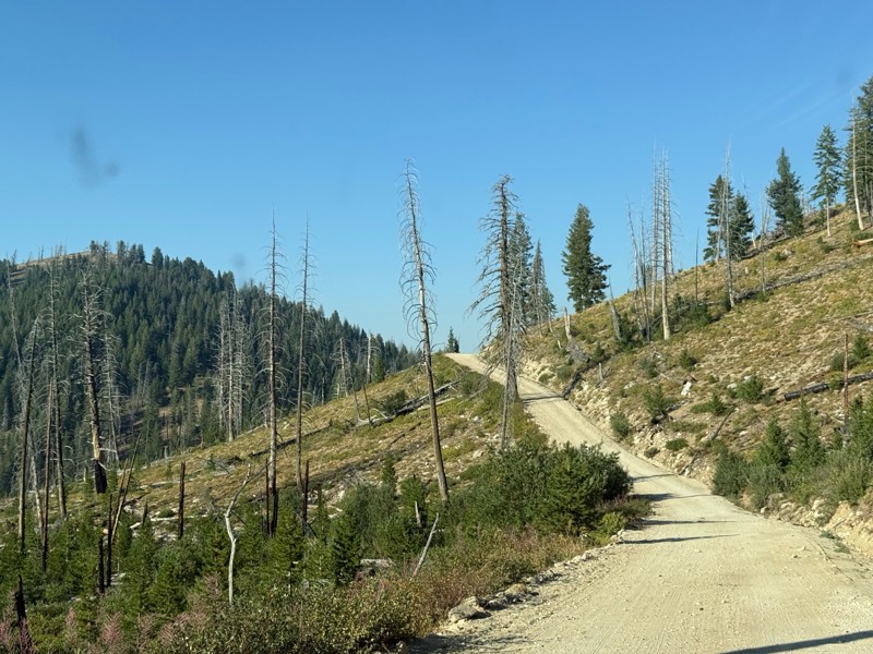
Pretty easy trail although there are some narrow spots along the way. Gets a bit bumpy and rocky as you head toward Atlanta but nothing difficult.
PS
Paul Smith
No Rating
Open
Visited: 09/01/2026
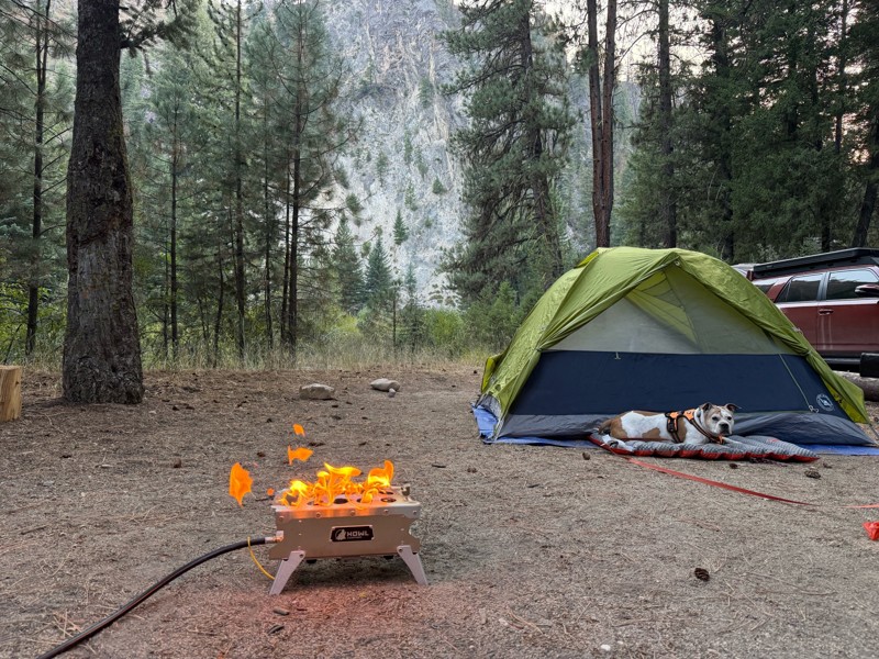
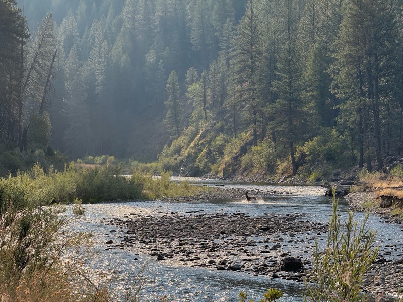
Beautiful and easy road. The smoke was wildfires was pretty bad but that can change. Any stock vehicle could do this at the moment. Campsites were all nearly empty which was a bonus.
PS
Paul Smith
Rated 3/5
Open
Visited: 08/22/2026
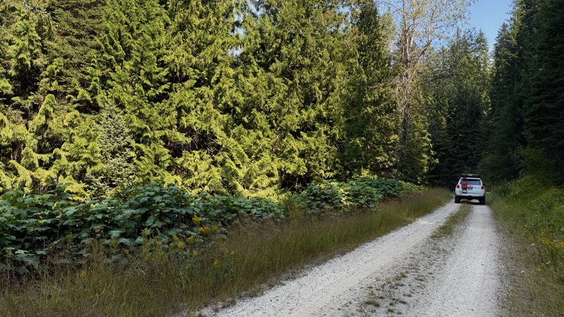
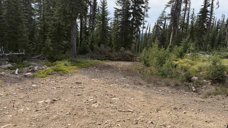
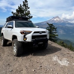
If it wasn't a very exciting trail, it still gets three stars because of how well-maintained it is. I can't even recall one single pothole the whole 4.5 miles. Otherwise, I was just using it as a conn...
Lorraine Bourget
Official Crew
Rated 3/5
Open
Visited: 08/22/2026
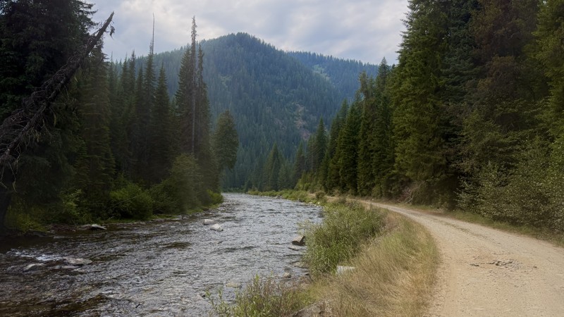
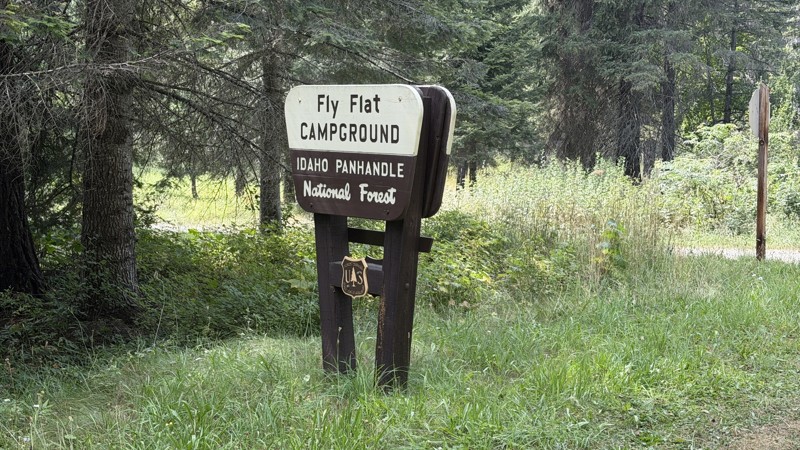
While it was a beautiful drive along the river, I'm rating this road 3 stars. Honestly, I planned my weekend around having the least amount of human contact possible but this section of my loop had ot...
Lorraine Bourget
Official Crew
Rated 5/5
Open
Visited: 08/22/2026
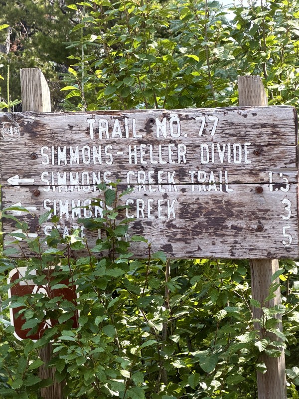
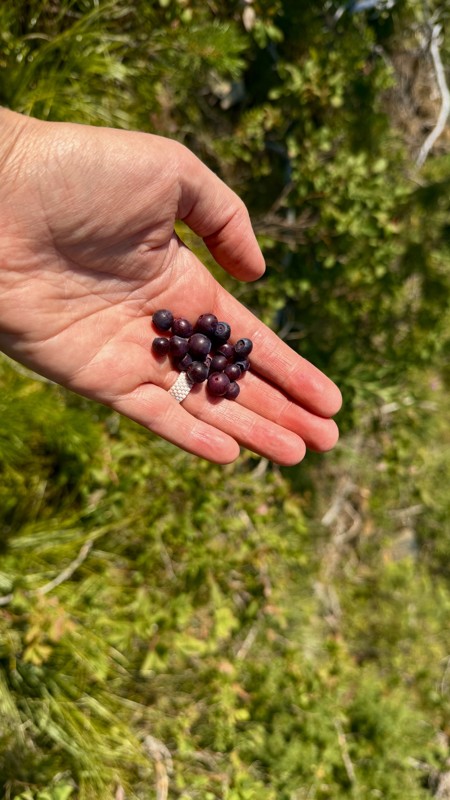
This trail holds a somewhat sentimental value to me. I randomly stumbled across it a couple of years ago when searching for somewhere to use my shower at the top of a mountain. Little did I know I wou...
Lorraine Bourget
Official Crew
Rated 4/5
Open
Visited: 08/21/2026
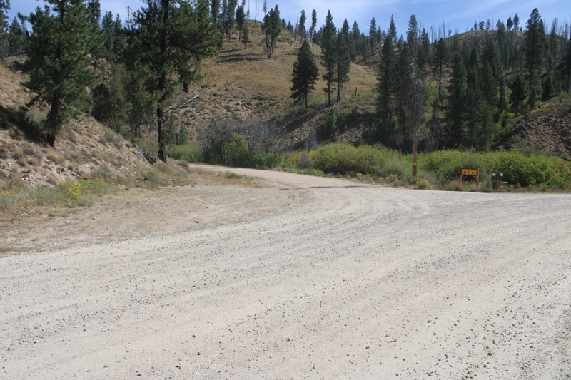
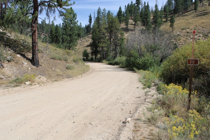
Pike's Fork Road is a spectacular drive into the heart of the Boise National Forest! One of the many dispersed campsites along its length makes an excellent destination for one night on a multi-night...

Bill Ward
Official Crew
Rated 5/5
Open
Visited: 08/16/2026
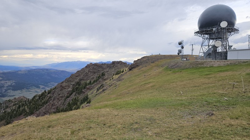
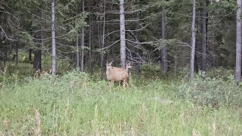
One person can give a group a bad name, especially in the side-by-side world, and that one was on the trail tonight like it was his private racetrack. Otherwise, a very peaceful and enjoyable drive. T...

Cory Wooldridge
Official Crew
Rated 5/5
Open
Visited: 08/11/2026
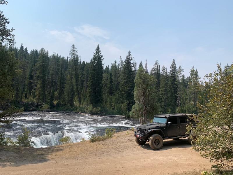
Great Jeep trail! Had fun running it and in pretty good shape. Dry and dusty with a few sections of rocks on decline/incline depending on what direction you’re going. No issues in my lifted Jeep. Not ...
JJ
Jill Jensen
No Rating
Open
Visited: 08/11/2026
Per the MVUM, the trail is seasonally open. As always, check current fire restrictions/closures before venturing out.

Trails Offroad
Official Crew
Open
Visited: 08/11/2026
Per the MVUM, the trail is seasonally open. As always, check current fire restrictions/closures before venturing out.
Trails Offroad
Official Crew
No Rating
Open
Visited: 08/11/2026
Per the MVUM, the trail is seasonally open. As always, check current fire restrictions/closures before venturing out.
Trails Offroad
Official Crew
No Rating
Open
Visited: 08/11/2026
Per the MVUM, the trail is seasonally open. As always, check current fire restrictions/closures before venturing out.
Trails Offroad
Official Crew
No Rating
Open
Visited: 08/11/2026
Per the MVUM, the trail is seasonally open. As always, check current fire restrictions/closures before venturing out.
Trails Offroad
Official Crew
No Rating
Open
Visited: 08/11/2026
Per the MVUM, the trail is seasonally open. As always, check current fire restrictions/closures before venturing out.

Todd
Official Crew
No Rating
Open
Visited: 08/11/2026
Per the MVUM, the trail is seasonally open. As always, check current fire restrictions/closures before venturing out.
Todd
Official Crew
No Rating
Open
Visited: 08/11/2026
Per the MVUM, the trail is seasonally open. As always, check current fire restrictions/closures before venturing out.
Todd
Official Crew
No Rating
Open
Visited: 08/11/2026
Per the MVUM, the trail is seasonally open. As always, check current fire restrictions/closures before venturing out.
Todd
Official Crew
No Rating
Open
Visited: 08/11/2026
Per the MVUM, the trail is seasonally open. As always, check current fire restrictions/closures before venturing out.
Todd
Official Crew
No Rating
Open
Visited: 08/11/2026
Per the MVUM, the trail is seasonally open. As always, check current fire restrictions/closures before venturing out.
Todd
Official Crew
No Rating
Open
Visited: 08/11/2026
Per the MVUM, the trail is seasonally open. As always, check current fire restrictions/closures before venturing out.
Todd
Official Crew
No Rating
Open
Visited: 08/11/2026
Per the MVUM, the trail is seasonally open. As always, check current fire restrictions/closures before venturing out.
Todd
Official Crew
No Rating
Open
Visited: 08/11/2026
Per the MVUM, the trail is seasonally open. As always, check current fire restrictions/closures before venturing out.
Todd
Official Crew
No Rating
Open
Visited: 08/11/2026
Per the MVUM, the trail is seasonally open. As always, check current fire restrictions/closures before venturing out.
Trails Offroad
Official Crew
No Rating
Open
Visited: 08/11/2026
Per the MVUM, the trail is seasonally open. As always, check current fire restrictions/closures before venturing out.
Trails Offroad
Official Crew
No Rating
Open
Visited: 08/11/2026
Per the MVUM, the trail is seasonally open. As always, check current fire restrictions/closures before venturing out.
Trails Offroad
Official Crew
No Rating
Open
Visited: 08/11/2026
Per the MVUM, the trail is seasonally open. As always, check current fire restrictions/closures before venturing out.
Trails Offroad
Official Crew
No Rating
Open
Visited: 08/11/2026
Per the MVUM, the trail is seasonally open. As always, check current fire restrictions/closures before venturing out.
Trails Offroad
Official Crew
No Rating
Open
Visited: 08/11/2026
Per the MVUM, the trail is seasonally open. As always, check current fire restrictions/closures before venturing out.
Trails Offroad
Official Crew
No Rating
Open
Visited: 08/11/2026
Per the MVUM, the trail is seasonally open. As always, check current fire restrictions/closures before venturing out.
Trails Offroad
Official Crew
No Rating
Open
Visited: 08/11/2026
Per the MVUM, the trail is seasonally open. As always, check current fire restrictions/closures before venturing out.
Trails Offroad
Official Crew
No Rating
Open
Visited: 08/11/2026
Per the MVUM, the trail is seasonally open. As always, check current fire restrictions/closures before venturing out.
Trails Offroad
Official Crew
No Rating
Open
Visited: 08/11/2026
Per the MVUM, the trail is seasonally open. As always, check current fire restrictions/closures before venturing out.
Trails Offroad
Official Crew
No Rating
Open
Visited: 08/11/2026
Per the MVUM, the trail is seasonally open. As always, check current fire restrictions/closures before venturing out.
Trails Offroad
Official Crew
No Rating
Open
Visited: 08/11/2026
Per the MVUM, the trail is seasonally open. As always, check current fire restrictions/closures before venturing out.
Trails Offroad
Official Crew
No Rating
Open
Visited: 08/11/2026
Per the MVUM, the trail is seasonally open. As always, check current fire restrictions/closures before venturing out.
Trails Offroad
Official Crew
No Rating
Open
Visited: 08/11/2026
Per the MVUM, the trail is seasonally open. As always, check current fire restrictions/closures before venturing out.
Trails Offroad
Official Crew
No Rating
Open
Visited: 08/11/2026
Per the MVUM, the trail is seasonally open. As always, check current fire restrictions/closures before venturing out.
Trails Offroad
Official Crew
No Rating
Open
Visited: 08/11/2026
Per the MVUM, the trail is seasonally open. As always, check current fire restrictions/closures before venturing out.
Trails Offroad
Official Crew
No Rating
Open
Visited: 08/11/2026
Per the MVUM, the trail is seasonally open. As always, check current fire restrictions/closures before venturing out.
Trails Offroad
Official Crew
No Rating
Open
Visited: 08/11/2026
Per the MVUM, the trail is seasonally open. As always, check current fire restrictions/closures before venturing out.
Trails Offroad
Official Crew
No Rating
Open
Visited: 08/11/2026
Per the MVUM, the trail is seasonally open. As always, check current fire restrictions/closures before venturing out.
Trails Offroad
Official Crew
No Rating
Open
Visited: 08/11/2026
Per the MVUM, the trail is seasonally open. As always, check current fire restrictions/closures before venturing out.
Trails Offroad
Official Crew
No Rating
Open
Visited: 08/11/2026
Per the MVUM, the trail is seasonally open. As always, check current fire restrictions/closures before venturing out.
Trails Offroad
Official Crew
No Rating
Open
Visited: 08/11/2026
Per the MVUM, the trail is seasonally open. As always, check current fire restrictions/closures before venturing out.
Trails Offroad
Official Crew
No Rating
Open
Visited: 08/11/2026
Per the MVUM, the trail is seasonally open. As always, check current fire restrictions/closures before venturing out.
Trails Offroad
Official Crew
Most Popular
Updated: 06/11/2024
Indian Hot Springs
Bruneau, Idaho
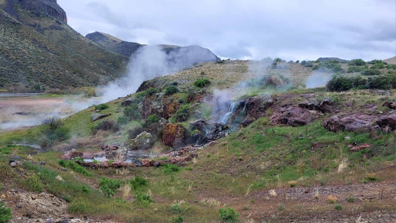
Nestled between river canyons, Indian Hot Springs is a hidden desert oasis with stunning views in every direction. Leaving the stark Inside Desert, the excitement peaks as you see the Bruneau River’s flowing waters, topped with steam from the hot springs, plunging 2,300 feet into Bruneau Canyon. This ancient route, once traversed by the indigenous Paiute-Shoshone for trade and relaxation, later attracted prospectors in search of the prized Bruneau Jasper, whose remnants still dot the landscape. This trail is a must-explore when visiting the Bruneau-Jarbidge area.

Updated: 07/16/2024
Sunset Mountain Lookout
Idaho City, Idaho
Sunset Mountain Lookout 316 is a jeep trail located in the southeastern part of the Boise National Forest, an hour and a half from Boise, and less than 30 minutes from the historic mining town of Idaho City. The Boise National Forest covers a vast 2.5 million acres ranging from forest to grassland.
Sunset Mountain Lookout leads to an unmanned fire lookout built in 1958 with impressive panoramic views of the surrounding mountains and ridges within the Boise National Forest. Sunset Mountain Lookout was registered in October 2011 on the National Historic Lookout Register and is at an elevation of 7,869 ft. Visitors can walk up to the 10-foot concrete base and around the catwalk to take in the views from all directions.
This trail has various options for dispersed camping as pullovers or off the road. For those who enjoy combining hiking, equestrian, or hiking with off-roading, there are a few trailheads along the road with room for parking.

Updated: 06/05/2022
Scriver Creek Road
Garden Valley, Idaho
Scriver Creek Road is in the Boise National Forest, just north of the quaint and very rural town of Crouch, Idaho. The area offers snowmobiling, kayaking on the Payette River, hiking, hunting, camping, and of course, 4 wheeling. This trail specifically is the Mother of several Scriver Trails, many of them listed in this guide. Trails with spurs of their own and ending in additional routes to explore for miles of 4x4 fun. When you include the 8 fantastic dispersed campsites to choose from, 6 of which are creekside, you have a trail that deserves a visit, an hour, a day, or 2 weeks. You'll leave knowing you've experienced the beauty of the Boise National Forest.

Updated: 08/11/2026
North Fork Boise River
Tenmile Summer Home Area, Idaho
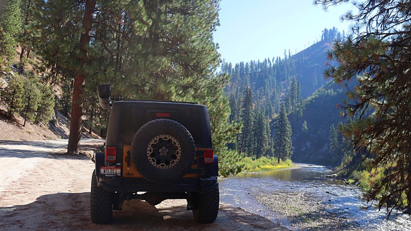
The North Fork Boise River Road, also known as Rabbit Creek Road and NFSR-327, is a forest service automobile-friendly road that begins at State Highway 21 near Idaho City, climbs over Rabbit Creek Sumit, and follows Rabbit Creek and the North Fork Boise River. It then drops down thru Swanholm and ends at Middle Fork Road. Hunting, fishing, hiking, sight-seeing, snowmobiling, cross-country skiing, trail riding, and camping is prevalent on this trail, with at least one developed campground Black Rock Campground along the trail. There are numerous jeep trails, spurs, and plenty of dispersed camping spots from which to choose.
Updated: 08/11/2026
Railroad Ridge (Jim Creek-Livingston Mine)
Torreys, Idaho
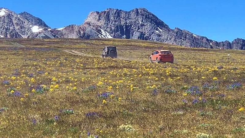
The area surrounding this trail is full of mining history and spectacular views as it is the highest road in Idaho, topping around 10.4k feet in elevation. Railroad Ridge is an in-and-out trail. The route begins at the historic Livingston Mine living quarters and ascends steeply as a single track with almost zero pullouts. But the views at the top are entirely worth the climb. The trail's end overlooks the Sawtooths to the west and the unending Frank Church Wilderness to the north. The Lost River Range and Lemhi Mountains can be seen along the eastern side. The open and close dates all depend on snowmelt and snowfall each year. Once you reach the open meadow at the top, there are plenty of places to disperse camp.
Updated: 04/13/2026
Harris Creek Road
Horseshoe Bend, Idaho
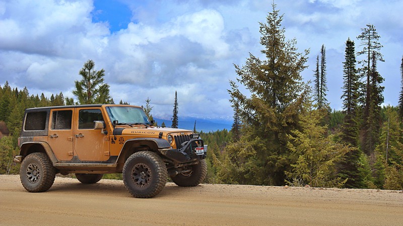
Harris Creek connects the historic mining town of Placerville and Horseshoe Bend. Combine Harris Creek with
to make a nice easy scenic loop to Idaho City. In 1863, at the height of the gold rush, Placerville had a population of 3,200, mainly consisting of miners and townspeople who worked the Basin. Later, logging and ranching became the predominant occupations. Since World War II, outdoor recreation, second homeowners, and tourism have become important to Central Idaho and the Boise Basin. This road also goes by the historic Star Ranch homestead located across a picturesque meadow with mountains in the background. There are various dispersed campsites along this trail from creekside to mountain ridge.
Updated: 07/16/2026
Burnt Knob Lookout
Red River Hot Springs, Idaho
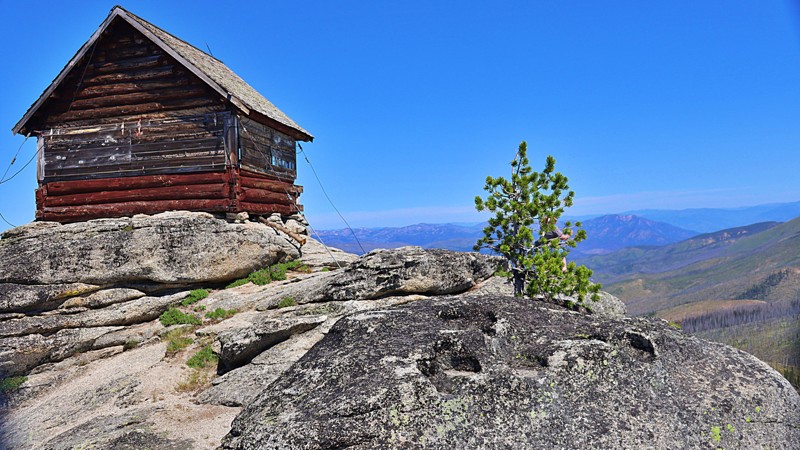
Burnt Knob Lookout leads to an iconic, historic fire lookout. It's advisable to have four-wheel drive with high clearance due to deep ruts and large boulders protruding from the surface. This road is not maintained. Burnt Knob is one of the most spectacular summits in the southern Clearwater Mountains, and just off the Magruder Corridor. As you first glimpse the lookout perched on the granite summit, there are hiking trails to the left leading you to the McArthur, Stillman, and Burnt Knob lakes, with native fish in those lakes. This lookout is a must-see! It is possible to camp at the lookout. It is normally unlocked if one wants to sleep inside.
Updated: 10/29/2025
Cottonwood
Twin Springs, Idaho
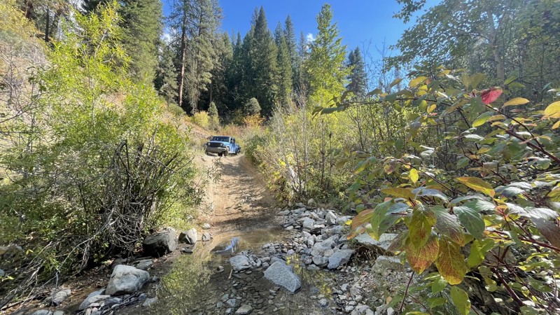
Cutting through the foothills between the Boise River and Highway 21, Cottonwood is a one-lane road with some wide spots, small potholes, and shallow tire ruts. Only it goes into the foothills instead of along the river gorge. The National Forest section of the trail is very narrow, with lots of opportunities for pinstripes. There are several creek crossings. The northern end of the road passes through a small subdivision. There are a few nice dispersed campsites along the trail.
Updated: 02/21/2026
Two Headed Dragon
Murphy, Idaho
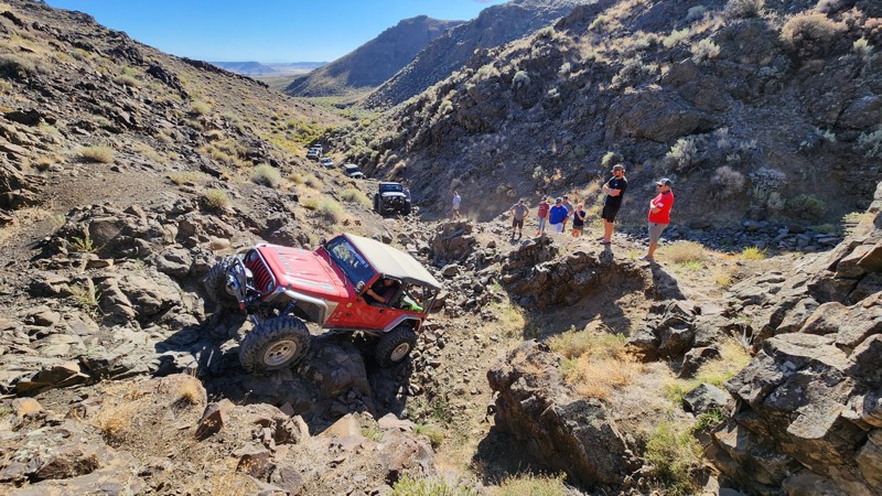
Two Headed Dragon is a short, 1/2 mile rock trail that might take all day, depending on how your rig is equipped. Two lockers and 35" tires are recommended minimums for this trail. It's called Two-Headed Dragon because, after the first waterfall, the trail splits into a right-hand side and a left-hand side. Two Headed Dragon is a true rock crawling trail, so expect loose, rolling rocks and vertical climbs for most of the trail. Make sure your hubs are locked as you start the entrance to Two Headed Dragon. There is a bit of a gatekeeper, but it is mild. After, you will wind up the trail to the first Waterfall. The first Waterfall is the hardest part of the trail if you are completing the left-hand side of the Dragon. The Waterfall is a four-foot vertical climb. Four-door Jeeps and longer rigs have break over issues on this climb and get hung up on their skid plates. Depending on your rig and tire height, there are a couple of lines on this waterfall. However, a lot of rigs have to winch over this point. After the Waterfall, it is decision time: left and easy, or do you try the right-hand side of the dragon? The right-hand side has loose, rolling rocks-from basketball size to ottoman size at the bottom of the climb. Rigs have to do a three-point turn to get lined up in the bottom, so these rocks can catch a diff or a driveline easily before even starting up the right-hand side. The line tends to be farther to passenger than people want to believe because it feels like a rollover waiting to happen. Once the climb starts, there are several stair steps of rock and a squeeze chute to navigate. At the exit to the right-hand side, there is an optional V-notch at the top that has climbed multiple shades of paint from sheet metal. If that is your choice, the left-hand side is still not a giveaway. Drivers have to navigate a three-foot step with lots of loose shale. Then, the trail turns back to the right in a vertical rock climb that threatens to hang up diffs on solid rock and as you have to slowly crawl to the top. Once up on top, the two sides come back together. There is one more tough spot on the trail. The last obstacle is another four-foot waterfall that rock buggies have a hard time pulling. There is an optional route to the left and driving around the large rock that makes the waterfall. Drivers must put their rock sliders on the rock and pivot around to complete the last waterfall. This can be really tough on longer, four-door rigs. After the last obstacle, climb over the top of the hill and down to the sand wash below where Two Headed Dragon joins into Lost Trail. Camping is dispersed with no formal camp spots on this trail. To get to the Two Headed Dragon from Nampa, head south on Highway 78 towards Murphy. About three miles before Murphy, there is a large, gravel parking lot on the right-hand side of the road on a sweeping right-hand curve. This is the beginning of Road H216. Take H216 and turn left on H100. Turn right on H170, which leads to the entrance to Two Headed Dragon, labeled H171 on the maps.
Updated: 01/06/2026
Grimes Creek
Robie Creek, Idaho
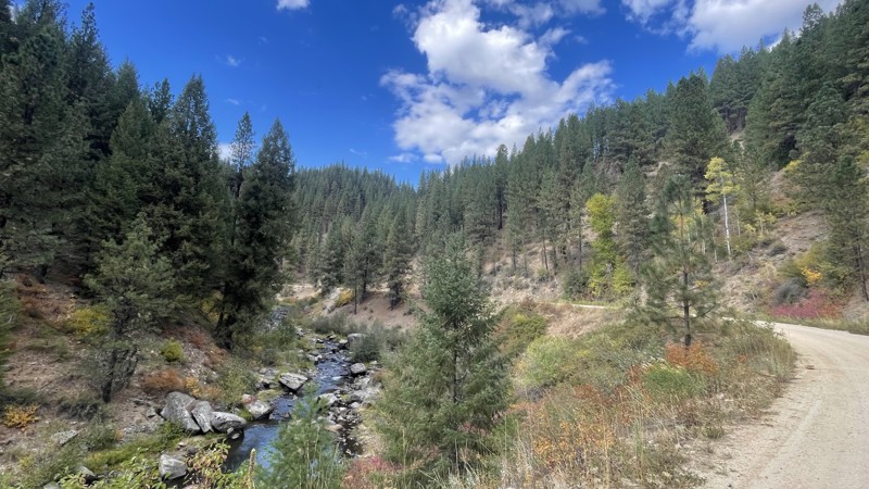
This winding dirt road takes you through an area rich in mining history. The first few miles of the road from Highway 21, the Ponderosa Pines Scenic Route, has several nice campsites right along the water. For the last 8 miles, you will pass through an active mining area. This mostly flat and wide drive through the valley is a nice scenic with lots of history. Small potholes and washboard sections are the only obstacles on this road, making it suitable for most vehicles. Grimes Creek connects to Centerville Road so you can finish your dirt road trip to Idaho City.
Updated: 09/20/2026
Moon Pass
Avery, Idaho
Winding through the rugged beauty of Idaho’s backcountry, Moon Pass, also known as North Fork St. Joe Road, is a scenic gateway that connects the historic town of Wallace with the quiet community of Avery along the St. Joe River. This 30-mile route is more than just a drive; it's a journey through time and terrain, following the path of the decommissioned Milwaukee Road railroad that once carried electrified trains from 1909 until 1980.
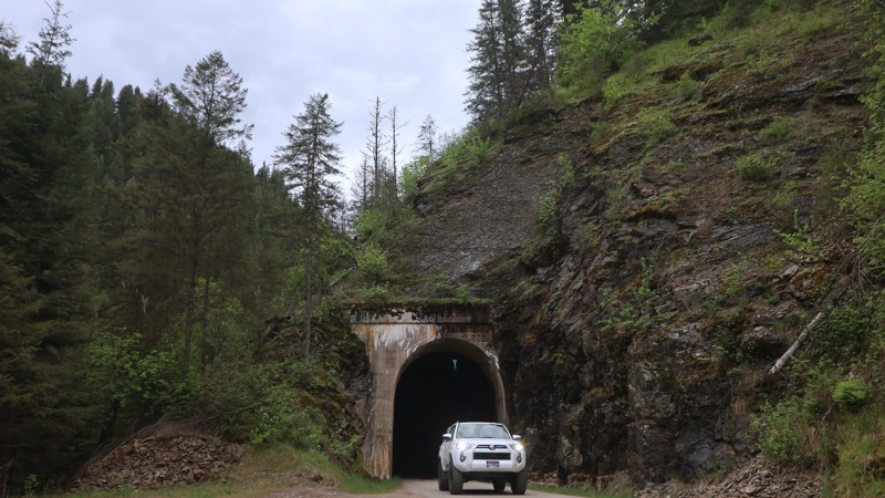
A large portion of the road rides atop the original rail grade, offering travelers a steady, well-maintained track that transitions from pavement just outside Avery to gravel, and eventually dirt and rock as you climb toward the summit of Moon Pass. Along the way, you’ll pass through seven narrow, one-lane train tunnels and cross over remnants of old trestles, with sweeping views of the North Fork of the St. Joe River unfolding around every bend. Thanks to seasonal maintenance by Shoshone County. It usually opens to vehicles in late May or early June, depending on snowmelt and tunnel upkeep. During winter, the route is closed to cars and may be groomed for snowmobiling instead. There are no visible campsites available off this trail.
One of the most captivating elements of this drive is its history. The route was once part of an electrified rail line designed to mitigate wildfire risk following the devastating 1910 fire. Today, relics of that era remain, like the railcar on display next to the historic depot in Avery, where you can dive deeper into the Milwaukee Road's legacy.
Despite its mountainous surroundings, this is an easy and accessible drive. The road is full-width and generally in good condition.
Keep an eye out for shuttle buses traveling to and from the nearby Route of the Hiawatha bike trail. Whether you're in it for the views, the tunnels, or the history, Moon Pass is a must-do for anyone looking to explore a scenic and storied slice of Idaho’s 4x4-friendly wilderness.
Updated: 07/27/2026
Ketchum-Featherville Road
Featherville, Idaho
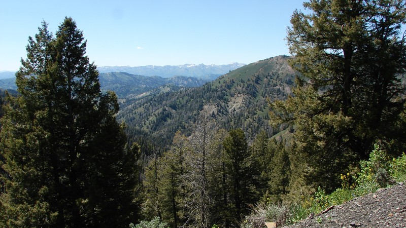
Forest Service Development Road 227 runs from Featherville to Ketchum. Different maps have different names for the road, but FS227 is consistent across map packages for the entire road length. It is the perfect road for viewing wildflowers.
FS227 is an easy road to drive, but due to washouts, potholes, and rocks, a vehicle with reasonable ground clearance and good tires is recommended. Dust and blind curves are general hazards.
There are several designated campgrounds on the Featherville end of the road and designated and numbered individual campsites on the Ketchum end. Dispersed camping is also allowed along most of the road, but, particularly on the Ketchum end, care should be taken to avoid private property.
Updated: 08/19/2026
Thompson Hole
Lamont, Idaho
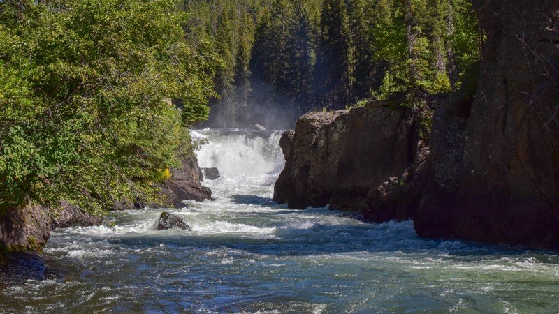
Thompsons Hole, FR 363, is a fun, rocky trail leading to the Fall River and Sheep Falls. Photos don't do the waterfall justice. It doesn't show the mist you feel that the gentle breeze lays upon you as the water violently tumbles into this 3-sided hole to the Fall River below, along with the loud rumbling sound from the multiple falls making conversation complicated along with that somewhat overwhelming feeling at the crest of the falls. Aspens, pine, and spruce line the trail with tall green grass. The occasional clearing with colorful wildflowers makes for a pleasant drive. There are rocky sections requiring decent ground clearance and 4-wheel drive. There's only one campsite along this trail, but it's gorgeous along the river a half mile upstream from the waterfall with easy access to a much calmer section of the Fall River.
Updated: 10/15/2024
Wildcat Gulch
Idaho City, Idaho
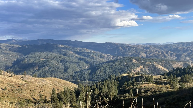
Turning on Grimes Creek Road from Highway 21, also called the Ponderosa Pines Scenic Route, to the right is a sign for Wildcat Gulch. Wildcat Gulch will also take you to Centerville Road and then onto Idaho City, like Grimes Creek. But instead of taking through the valley on a wide easy road, Wildcat Gulch goes up the mountain and across the ridgelines, giving you a completely different experience and several panoramic views of the foothills. Wildcat Gulch is a one-lane 4x4 road with medium to deep tire ruts and potholes. There are many nice campsites with great views, but most are on spur roads with little to no maintenance. It is also used for hunting access, and firewood collection, so you will run into more people in the Fall than in other parts of the year.
Updated: 08/13/2026
Lick Creek Road
McCall, Idaho
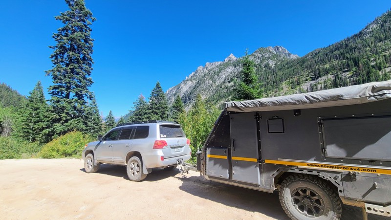
A few steep vertical traverses and relatively narrow shelf roads keep this track from qualifying as a beginner track, but it's otherwise an easy, relaxing, and impeccably beautiful trail from McCall into Idaho's famous backcountry fishing areas.
The first part of the trail features the beautiful Little Payette Lake and a handful of dispersed campsites tucked into the surrounding trees. The path then climbs up the mountain pass revealing stunning views of rock faces, peaks, and green valleys. While easily navigable, the first half of the route does feature a few bumps and potholes, along with patches of rock that can be rough on driver and passengers alike.
Once across the high pass and down into the river valley below, there are multiple dispersed camping areas with easy access to top-tier fly fishing spots along Lick Creek and connecting with the South Fork of the Salmon River. Along the route are also a few small formal campgrounds.
Updated: 07/14/2023
Yankee Fork
Sunbeam, Idaho
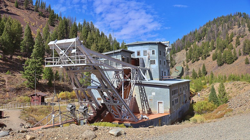
Yankee Fork Road is located in the Salmon-Challis National Forest. The road is a true reflection of what the history of Idaho is rooted in; hard work, brutal elements, western promise, and most importantly - gold. Uniquely, the Gem State's mining past is a legacy that remains just as much a part of our landscape today as the very minerals that hide beneath our rugged terrain, leaving behind a trail of ghost towns, long-standing saloons, and Wild West-style architecture. Today, some remnants of ghost towns Bonanza, homesteads, and mining sit by the Yankee Fork in various states of preservation and decay. You will see the dredge ponds and tailings alongside the road, as well as reclamation and revitalizing of the river habitat to restore Chinook salmon and steelhead in the Yankee Fork River after mining damage. Finally, the iconic Yankee Fork Gold Dredge is one of the best-preserved and presented dredges in the lower 48 states and is open to guided tours in the summer months. Several dredge ponds offer opportunities for fishing and camping.
Updated: 10/15/2024
Danskin Lookout
Oasis, Idaho
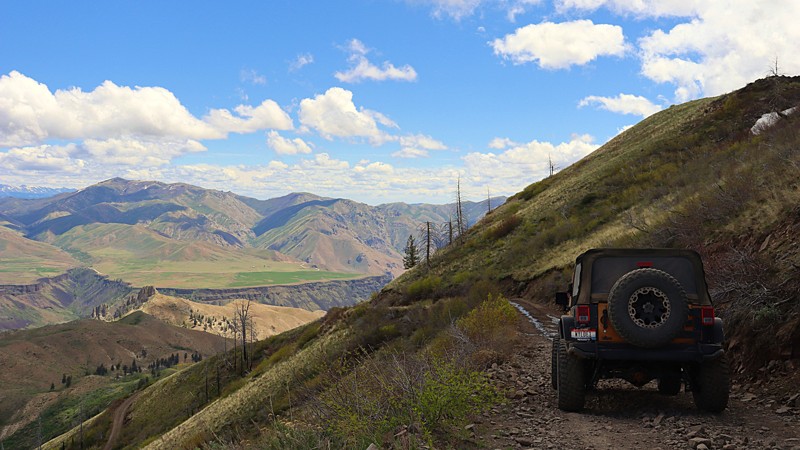
Danskin Lookout offers spectacular views from the high desert to the south, with hundreds of rock outcroppings along the way, some even as tall as 75 feet. As you get closer to the peak, there are canyon views that the South Fork Boise River has cut in the east. The Danskin Mountains are located in the extreme southwestern portion of the Boise Mountains; therefore, this area usually has its snowmelt first. There are several open dispersed campsites along this trail. The trail is gated before arriving at the peak, and there is a .31 mile hike to the summit and lookout. The lookout offers views of the Owyhee Mountains in the southwest and the taller peaks of the Boise Range, including Two Point Mountain and Trinity Mountain.
Updated: 10/15/2024
Beaver Creek
Grandjean, Idaho
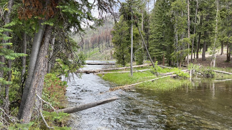
Are you looking for an overlander's paradise camping spot? This is it if you are looking for your own private fishing and camping spot on public land. Follow Beaver Creek, FR 8, to Josephus Lake and Josephus Lake Campground. The lakeside campground is almost 20 miles in. The campground is all primitive camping. The trail also has several dispersed camping spots along the way. The road is rocky gravel with embedded rock. There are several steep switchbacks with an overall elevation gain of 2400 feet. The entrance to the campground has a deep water crossing. The crossing has a hard bottom but could challenge low-clearance vehicles.
Updated: 08/11/2026
Sunset Peak Road
Robie Creek, Idaho
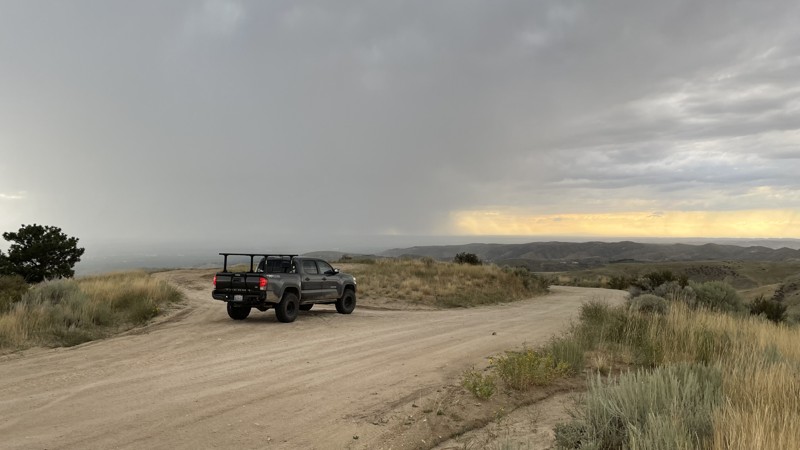
Sunset Peak Road, often referred to locally as simply "8th Street" (the road name of the very last portion of the trail before it joins the ridge), is a well-maintained track providing incredible views of the city of Boise and connects you to the Boise Ridge. This trail is passable by any vehicle with moderate clearance. It's common to find a sedan parked along the trail in one of the turnoffs. The most challenging part of the trail is a small rutted hill, but it is still passable in 2WD. This trail is fantastic for sightseers looking to get an elevated view of Boise and is particularly stunning at night. Camping is not allowed anywhere on the trail.
Updated: 06/05/2022
Corral Creek
Emmett, Idaho
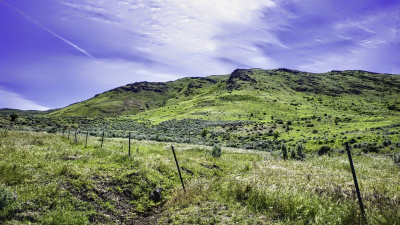
Corral Creek Trail is on BLM property in southwest Idaho, about 30 miles east of Oregon. It is a ranchers trail to maintain the pond at the end for his cattle. The scenery is fantastic in all directions with the Oregon mountains to the west, Squaw Butte to the east, and the beautiful Emmett Valley to the south. This trail will give you a feel for how cattle are raised in this part of Idaho, and elsewhere, dating back to the 1800s. Many of the cattle ranches here are 3rd and 4th generation. The typical charge to run cattle on BLM property is $1.50 per head, per month. Please respect that the rancher uses this property for his living and always STAY THE TRAIL.
Updated: 08/13/2026
Long Gulch
Prairie, Idaho
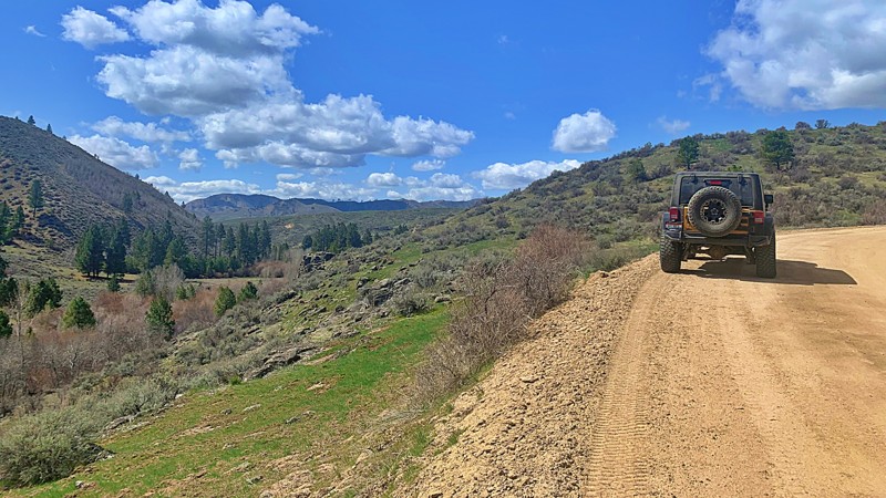
Long Gulch, also known as Slide Gulch Road, is an effortless and pretty drive between the town of Prairie and the Arrowrock Reservoir, which follows along the Middle Fork Boise River. It does have a seasonal closure depending on snow levels as it reaches nearly 5000 feet in elevation and is not maintained in the winter. The trail may be closed periodically between November and early March. There are various dispersed campsites along the trail and spur roads leading to hiking trailheads.
Updated: 09/22/2025
Trinity Ridge Road
Pine, Idaho
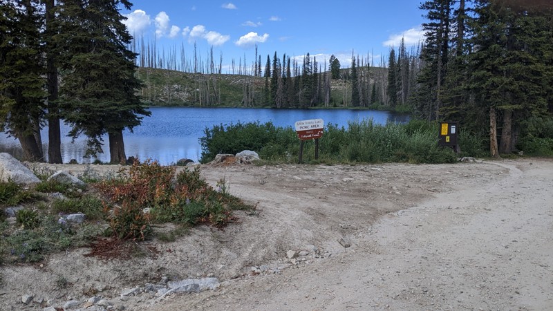
When turning onto Trinity Ridge Road from the south, one should note the sign that says passenger cars and trailers are not recommended. The first few miles are the typical low-maintenance dirt and gravel forest road. As the climb up to the pass on the shoulder of Trinity Mountain starts, the road degrades with washouts, ruts, rocks, and switchbacks. The Hardest Part photo does not do that section justice. It’s not long, but it is steep with large rocks. A true 4WD is needed. All-terrain tires are recommended. Other than the few miles climbing the south side of the pass, the rest of the road is easy. If driving up from the Rocky Bar/Featherville end of Ridge Road, a passenger vehicle should be adequate to get as far as Trinity Lakes. Just above the lakes is the pass.
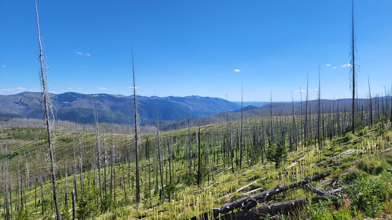
Trinity Ridge has spectacular views on both sides. Alas, a large portion of the Ridge was burned in 2012, so the view is sometimes obstructed (enhanced?) by standing dead trees. But the view of the nearby valleys and distant mountains is awe-inspiring!
Although there are plenty of opportunities for dispersed camping, the gem of the Ridge is the Trinity Lakes area with clear blue waters, well-developed campgrounds, and many hiking trails.
Updated: 10/15/2024
Elk Mountain
Red River Hot Springs, Idaho
FSR 285 Elk Mountain Road runs along a ridge and offers views of the Clearwater Mountains. Elk Mountain is doable for 4x4 vehicles but is a narrow, one-lane road. Elk Mountain Road ends at the Elk Mountain trailhead, which leads to Elk Mountain, the highest mountain in the Clearwater Mountains. It is also provides access to Green Mountain Lookout, a historic wooden tower lookout.
Updated: 06/22/2026
Relay Ridge
Clementsville, Idaho
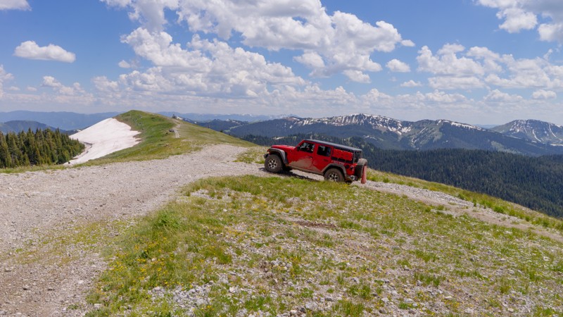
If you want a trail with a view, this is the one! Shortly after starting Relay Ridge, you're treated to a beautiful view of the lower valley, but the best is absolutely yet to come. The trail steadily climbs up Packsaddle Basin headed for Ryan Peak with 2 or 3 noticeable campsites, but it's not a camping goldmine like other trails in the area. The real treat is the last mile and a half, where the pines open up to alpine meadows as you're nearing the top of the ridge and the radio towers. At the top, you look directly across the Teton Valley, where the town of Driggs sits, and see the entire Teton range, including Grand Teton.

Upgrade your Membership
Unlock all of the details on every Trail Guide and Scout Route.
Start a 7-day Free TrialCommunity
Partners

