Region

Big Bear

California

Offroad Trails in Big Bear

A Region within California
4.7/5 (1252)

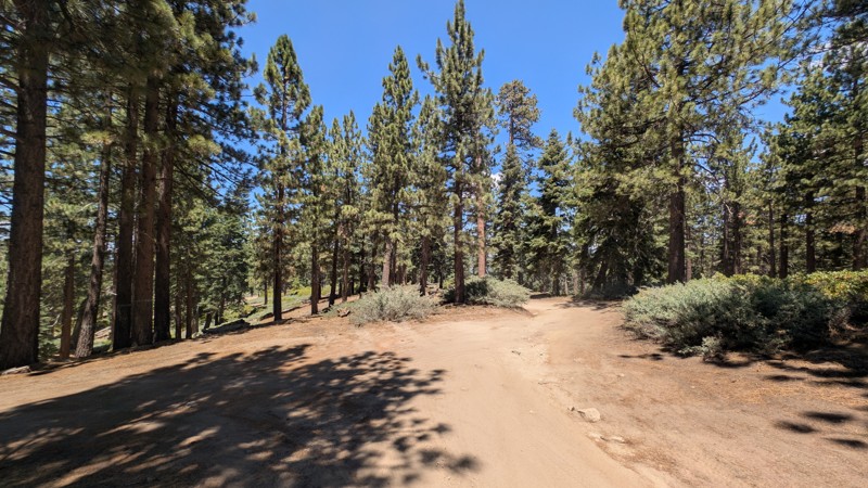
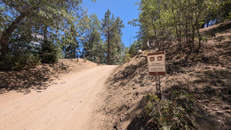
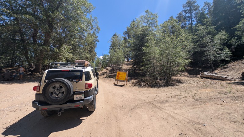
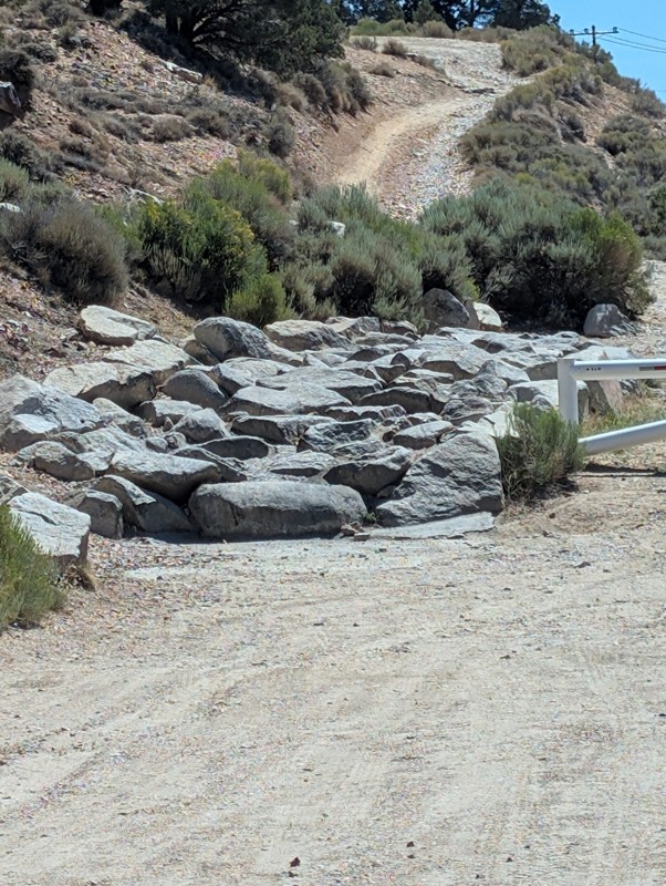
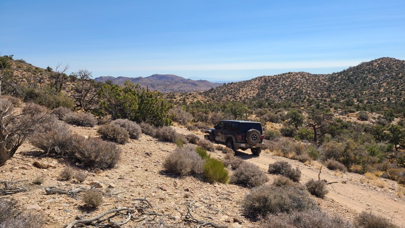
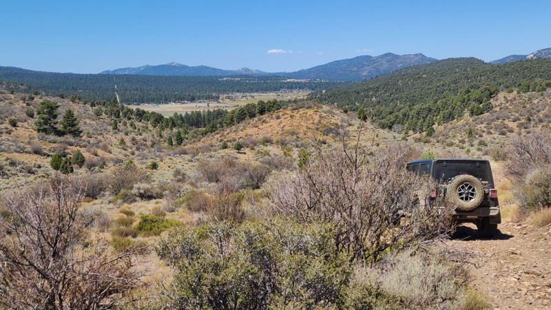
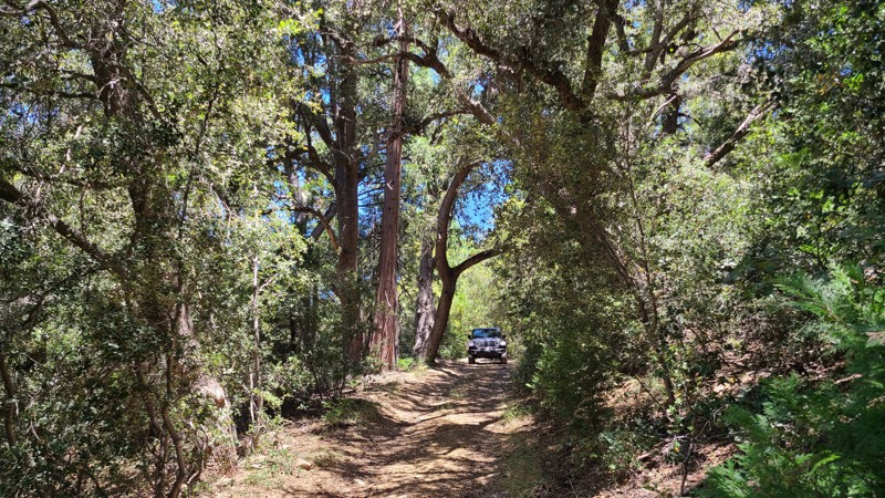
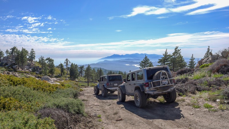
Big Bear is the ultimate mountainous getaway accessible to the masses of Southern California. It is accessible both in its geographic proximity as well as its variety of offroad and camping options.

If you want to drive down a dirt road to a National Forest campground in the family SUV, Big Bear has options. If you want to explore scenic trails for the day and grab dinner in town, Big Bear has options. If you want to push the limits of your 4x4 on world-class rock crawling trails then set up at a dispersed campsite for the weekend, Big Bear has options.

Big Bear is part of the San Bernardino National Forest and is located less than 100 miles from most of the greater Los Angeles area. This makes it an excellent destination for Southern California locals looking to escape into nature for a few days. The high elevation also means it's the ideal summer escape from the heat of the valleys below. In the winter, Big Bear remains popular with offroad enthusiasts since it is one of the few areas with trails open year-round. That's right: snow wheeling in SoCal.

So if you're ready to book your stay in Big Bear (literally or figuratively), just know that you probably won't be the only one. Keep an eye out for fellow offroaders, be respectful of other campers, and make sure to leave the natural beauty of the San Bernardino National Forest better than you found it. 

With dozens of trails in the Big Bear area, it can be tough to decide where to start. Check out our list of the Top 5 Beginner Trails in Big Bear CA

Top Reasons to Explore Here

Basemaps
Go All-Access to Unlock


TRAILS OFFROAD™ TRAIL TYPES
Trail Guide
Full detailed write up with Advanced Rating System, Waypoints, Video, and more.
Scout Route
Lite version with highlights, camping, and hardest part documented. Vetted in person.
TRAIL DIFFICULTY RATINGS
easy (1-2)
Suitable for high clearance 2WD
moderate (3-4)
Best suited for a high clearance 4x4
difficult (5-6)
Best suited for a lightly modified 4x4
severe (7-8)
Best suited for a highly modified 4x4
extreme (9-10)
Best suited for specialized buggy type vehicles
LAYERS

Most Recent Trail Reviews

Most Popular

Search for Trails
California: Delamar Mountain Road Hero Photo
Scout Route Icon
4.8/5 (26 reviews)
Updated: 07/16/2026

Delamar Mountain Road

Fawnskin, California

Delamar Mountain Road winds through a densely forested valley framed by Little Bear Peak to the west and Delamar Mountain to the east. Near its midpoint, the road crosses the Pacific Crest Trail, a convenient resupply stop for long-distance hikers. Toward the northern end, it opens into the wide expanse of Holcomb Valley, where it connects with Holcomb Valley Road (3N16) and a network of additional trails to explore.

Just 0.6 miles from the southern entrance lies Yellow Post Campsite #33. Along the first two miles, several other flat, shaded clearings provide excellent dispersed camping opportunities close to the road.

The road itself is an easy drive. It is wide, flat, and heavily traveled by all types of vehicles, making it a popular connector into Holcomb Valley. Suitable even for two-wheel drive vehicles with decent ground clearance, this road offers a relaxed and accessible way to experience the surrounding forest.

California: Little Green Valley Road Hero Photo
Scout Route Icon
5/5 (2 reviews)
Updated: 10/13/2025

Little Green Valley Road

Green Valley Lake, California

Centered between Lake Arrowhead and Big Bear Lake, Little Green Valley Road take you off the beaten path through the lush forest to provide outstanding dispersed camping, spectacular 100-mile views, connection to hiking trailheads, and driving challenges to scratch your 4x4 itch. This route also explores the up and back spurs 2N19B and C, offering more dispersed camping and leading to a cluster of hiking trails.

Over its length and on the spurs are several excellent, wide, flat areas for dispersed camping and pitching a tent among the pines. Only ½ mile from its northern end is an outstanding dispersed campsite that provides views stretching over 100 miles to the west. Spur C ends at a small meadow, perfect for a basecamp to explore the many hiking trails that connect here.  Spur A is closed, open only to authorized vehicles. If improved campsites are preferred, the Green Valley Campground is located just ½ miles east of the north end of the trail.

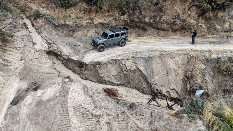
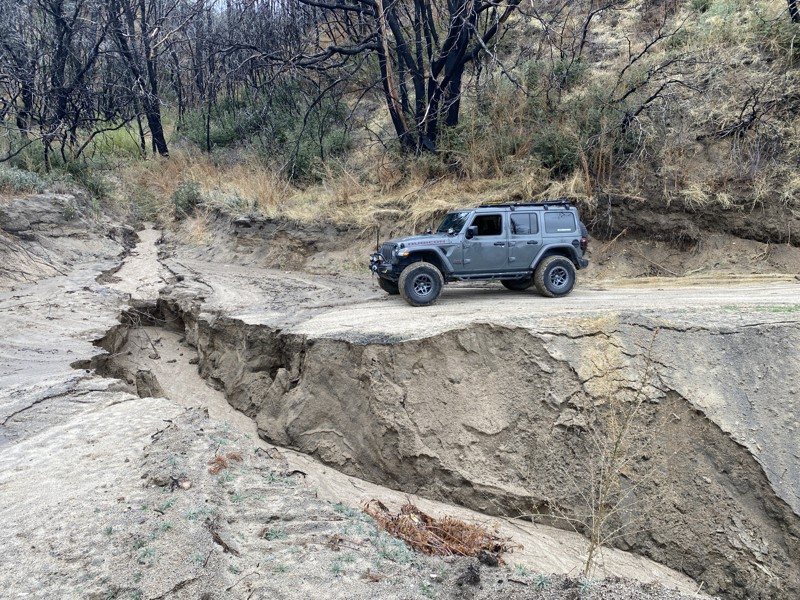
The dirt road is generally wide and flat, but suffers from several washouts requiring a high clearance 4x4. The most difficult obstacle is located 0.8 miles from the south end of the trail over large boulders, where fallen trees have been positioned by previous travelers, providing ramps to ease over the large rocks.  A shelf road makes up some of the road with intimidating descents down the mountainside.   Short corridors on the trail are overgrown and can lead to vehicle striping, especially on the little-used spurs.

California: Green Valley Bypass Hero Photo
Scout Route Icon
0/5 (3 reviews)
Updated: 03/09/2026

Green Valley Bypass

Green Valley Lake, California

Green Valley Bypass (2N54) is a hard-packed dirt trail that serves as a useful straight-through connector between 3N16 and 2N13 in the San Bernardino National Forest. This lightly trafficked trail gives off-roaders a simple but practical alternative to pavement, allowing drivers to bypass the congestion of Green Valley Lake below when linking up with other trail systems like Snow Slide. Open year-round and generally accessible except during times of deep snow, 2N54 is a solid choice for anyone planning a loop or looking to string together multiple trails in the area.

The trail remains relatively mild throughout, but includes a moderate hillclimb with mild ruts that may require a bit of throttle finesse in slick conditions. The rest of the route is generally flat or gently graded, winding through a mix of sparse pine and chaparral terrain. It’s well within the capability of a stock 4x4, and even drivers without prior offroad experience will find it approachable. While dispersed camping is technically allowed, suitable pull-offs are rare and limited, so this is more of a drive-through than a basecamp destination. All in all, Green Valley Bypass offers a low-effort, high-utility dirt alternative that slots in seamlessly for drivers navigating the surrounding trail network.

California: Old Snow Slide - 2N68 Hero Photo
Scout Route Icon
1/5 (1 reviews)
Updated: 10/15/2024

Old Snow Slide - 2N68

Fawnskin, California
2N68 heads off 2N13 up and over the hill towards the boy scout camp. The trail is heavily overgrown and will do a ton of paint damage to almost every vehicle. At one point, there is a yellow post site down this trail. There is a locked gate near the boy scout camp, so this is an out-and-back. There are a couple of nice small dispersed camping spots on this trail in the first 300 yards. Please note: We could not take a photo of the overgrown area as we couldn't get out of the vehicle. We also had to back up over 300 yards through the overgrowth.
California: Antelope Creek Hero Photo
Scout Route Icon
5/5 (1 reviews)
Updated: 09/24/2025

Antelope Creek

Rimrock, California

On the eastern slopes of the San Bernardino National Forest, Antelope Creek Road passes through a forest-to-desert transition zone, where both Pine and Joshua Trees share the landscape. Tucked in the surrounding hills, this remote out-and-back trail and its spurs are reached via Burns Canyon Road, and once past the obstacles near its start, the trail provides access to terrific dispersed camping and hiking trails. 

The trail features large rock and boulder-strewn sections that create challenging obstacles. About 0.4 miles from the start is the hardest obstacle, requiring careful tire placement over and around two to three-foot-wide boulders.  Other sections of the trail have uncomfortable off-camber sections reaching 20 degrees. This trail is best suited for an experienced off-road driver in a vehicle with larger tires and a small lift.

The trail offers several inviting dispersed campsites, under shaded trees, next to large, picturesque boulder formations, and with wonderful views of the surrounding hills. Some of these sites have existing rock fire rings, but open campfires are now prohibited here.

California: Juniper Flats 4325 Hero Photo
Scout Route Icon
5/5 (1 reviews)
Updated: 02/05/2025

Juniper Flats 4325

Fizzben Heights, California

Beginning at the end of Japatul Road, JF4325 is surrounded by dense thickets of tall Junipers, from which the area gets its name. This flat, easy route intersects several trails to explore, including some that climb the area's highest peaks. Occasionally, the hills part to offer beautiful views to the northeast of the valleys below and the distant Fry and Ord Mountain Ranges. The last mile of the eastern portion of the trail becomes Bowen Ranch Road and provides a connection to JF3330.

The trail is easy, with no obstacles, except for the occasional grazing cattle that should be gently avoided. Some rocky sections are easily managed using a 2-wheel drive high clearance vehicle, but exploring the many intersecting trails will require a 4x4. The Juniper Flats Subregion is a Limited Use Area requiring vehicles to stay on marked trails.

The entire trail is on Bureau of Land Management land, and dispersed camping can be enjoyed on the trail when following the Bureau of Land Management Dispersed Camping Regulations. Several suitable dispersed campsites can be found along the trail amongst the shading Junipers. Open fires may be prohibited, and it is the responsibility of campers to know the Campfire Restrictions.

California: Juniper Flats 4330 Hero Photo
Scout Route Icon
4/5 (1 reviews)
Updated: 02/05/2025

Juniper Flats 4330

Apple Valley Highlands, California

JF4330 is a straight-through, semi-circle that starts on the level ground of Juniper Flats, where shading Junipers provide perfect spots to enjoy lunch or for overnight camping. After a shallow climb, JF4330 ends as the hills begin their steep 2,300' descent to the Mojave River bed. Along the way, the trail passes a burn area that has been fenced off to promote the land's recovery. Reaching the trail's end is the reward of an expansive view of the valley below and out to the distant San Gabriel Mountains. You're likely to pass roaming cattle in the area that make for mellow company when keeping a discrete distance.

This trail has long rocky stretches with no bypasses. A 4-wheel drive high clearance vehicle is best for running this trail. The trail is in the Juniper Flats Subregion, a Limited Use Area requiring vehicles to stay on marked trails.

The entire trail is on Bureau of Land Management (BLM) land, and dispersed camping can be enjoyed on the trail when following the BLM Dispersed Camping Regulations. Near the top of the trail, suitable pre-disturbed campsites can be found positioned to enjoy the expansive views. Open fires may be prohibited, and it is the responsibility of campers to know the BLM Campfire Restrictions.

California: Little Holcomb Hero Photo
Scout Route Icon
5/5 (2 reviews)
Updated: 05/20/2026

Little Holcomb

Fawnskin, California

Leaving the picturesque Holcomb Valley in your rearview, Little Holcomb winds north through the dense pine forest, quickly reaching 3N83 and access to the many other trails in the area.  This road offers a moderate driving challenge with its large rocky obstacles.  A high clearance 4x4 vehicle would easily manage this trail, or an experienced driver using a two-wheel drive vehicle would enjoy the challenge.

Along the way, a few locations suitable for dispersed camping can be found, providing deep shade and solitude away from the busier surrounding trails.  

California: Hill Ranch Road Hero Photo
Scout Route Icon
5/5 (1 reviews)
Updated: 07/14/2025

Hill Ranch Road

Seven Oaks, California

With easy access from Highway 38, Hill Ranch Road zigzags through the quiet and beautiful dense forest of the San Bernardino Mountains.  Turnouts on the road emerge from the dense forest and provide wonderful views across a wide valley to the distant mountains and Snow Summit. Creeks cross the road in two places, providing ideal spots to stop for lunch and enjoy the peaceful gurgling water, as well as watch for deer. Connected to the road is Stetson Hollow 1N86B, which is a fantastic addition to the journey. The road emerges onto the paved Glass Road, providing access to many other trails to the north or an exit on Highway 38 to the south.

Dispersed camping sites can be found at turnouts off the road, mostly near the north and south ends of the road. These large cleared areas, in the deep shade provided by the surrounding tall pines and oaks, would have room for two vehicles and their tents. These sites have no fire rings as campfires are prohibited in the forest.

Upon entering the road,  Forest Service road markers indicate an “Easiest” difficulty level. The road is maintained, graded flat with a few protruding stones easily avoided, and is wide enough to allow passing vehicles. A two-wheel drive vehicle with some clearance and a beginning off-roader would enjoy this road.

California: 2N75Y Hero Photo
Scout Route Icon
5/5 (1 reviews)
Updated: 09/24/2025

2N75Y

Rimrock, California

On the eastern slopes of the San Bernardino National Forest, 2N75Y is a straight-through trail that follows a beautiful forest to a desert transition zone shared by Pine and Joshua Trees. The route offers a fun, moderate off-road driving challenge, leading to the quiet solitude of the few dispersed campsites and hiking trails along its length.

Sections of the trail travel over water-worn ruts down the trail's center that can be straddled, and a few stretches are over large stones and pumpkin-sized rocks. A Four Wheel Drive vehicle with high clearance is necessary to drive this trail. The quarter-mile portion of the east end of the trail starts on BLM land with a trail marker RC2311. The remaining National Forest portion has no trail markers but is easily followed. The west end of the trail connects to Antelope Creek, and from there, one must pass over the most difficult obstacle of that trail to reach an outlet via Burns Canyon Road. There is a wide turnaround at the west end of 2N75Y for an easier return back to the start. 

There are a few small dispersed campsites next to the trail with flat areas for tents and room for one or two vehicles.

California: 2N87Y Hero Photo
Scout Route Icon
5/5 (1 reviews)
Updated: 09/11/2025

2N87Y

Doble, California

Passing over the mountains immediately surrounding the western end of Big Bear, 2N87Y provides an outstanding view of Big Bear and the surrounding mountains while offering excellent dispersed campsites next to the trail. The road also passes several hiking trails, including an intersection with the Pacific Crest Trail. This straight-through at its southern end is only a short distance from paved roads that reach Big Bear City and Highway 38.

The best camping is found on the northern portion of the trail, where the gentle slopes and surrounding trees provide several shaded flat areas that with room for multiple vehicles, and soft ground perfect for pitching a tent.

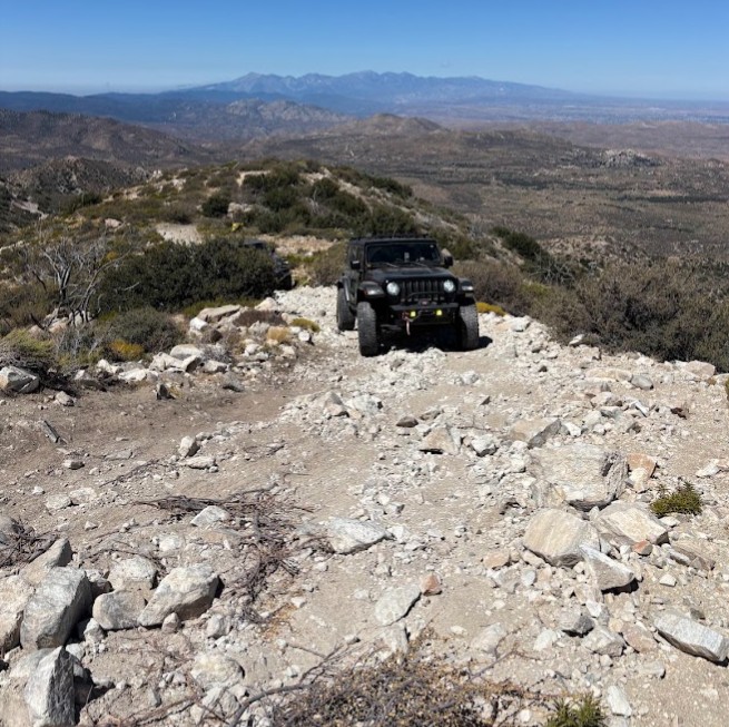
This is a moderately difficult trail with long, difficult stretches, requiring driving over and around large embedded boulders and over carpets of loose orange-sized rocks. This rugged trail surface, combined with a few steep inclines, will require a high-clearance 4x4 and an experienced driver.

California: Stetson Hollow Hero Photo
Scout Route Icon
5/5 (1 reviews)
Updated: 08/19/2025

Stetson Hollow

Seven Oaks, California

Stetson Hollow is a little-used up-and-back trail through a dense, lush forest, with surrounding meadows, and makes a perfect quiet getaway. While starting only a few hundred feet from Highway 38, the trail feels isolated and remote, with only the sounds of singing birds and the wind whispering through the trees. Trees embrace portions of the trail to form canopies and filter the sunlight to create dark passageways, enhancing the sense of remoteness. 

Along the trail, clearings and grassy meadows allow midday sunlight to beam in through the surrounding tall pine trees and provide excellent dispersed camping sites.  The trail starts very close to the highway, but the camp locations are far enough away not to hear any traffic noise. These sites have no fire rings as campfires are prohibited in the forest.

The Forest Service trail makers at the trailhead do not provide a difficulty level, and the road is moderately difficult with a rocky creek crossing, deep ruts, fallen trees, and large rocks to avoid or drive over. The road is not maintained, allowing bushes and trees to crowd the path, which can result in vehicle pin-stripping. A lifted four-wheel drive vehicle with ground clearance is required to navigate this road.

California: 3N56 Hero Photo
Scout Route Icon
5/5 (3 reviews)
Updated: 09/29/2025

3N56

Fawnskin, California

3N56 is a simple and quick connector between 3N17 – White Mountain and 3N16 – Holcomb Valley Road. At roughly 0.2 miles long, it takes no time to get between the trails and continue your day. The trail is mainly packed dirt and suitable for any vehicle.
California: Juniper Flats 3276 Hero Photo
Scout Route Icon
4/5 (1 reviews)
Updated: 03/11/2025

Juniper Flats 3276

Fizzben Heights, California

Located in the Juniper Flats area, JF3276 connects to a network of trails that cover over 100,000 acres of this desert-to-mountain transition. The trail provides beautiful views and hosts a variety of wildlife. This trail moves through a particularly dense area of distinctive rock formations that invite a short hike to explore.

The trail is easy over a hilly section of hard-packed dirt with short sections of exposed grapefruit-size rocks, and it is wide enough for two vehicles to maneuver and pass by over most of its length. This is the perfect trail for beginning offroaders and can be handled with a 2-wheel drive high clearance vehicle. However, if continuing to explore the area, many trails will require a high clearance 4x4.

This trail offers no suitable campsites, but dispersed camping is allowed throughout the area when sites show obvious signs of prior use and lack of vegetation cover and follow the BLM Dispersed Camping Guidelines. This is a high-fire danger area, and campfires may be prohibited. Campers are responsible for knowing and following the current fire restrictions.

California: Carbine Flat Hero Photo
Scout Route Icon
5/5 (1 reviews)
Updated: 09/04/2025

Carbine Flat

Fizzben Heights, California

Carbine Flat Road sits on the northern edge of the San Bernardino National Forest, dropping 1,000 feet along the rim of Lion Canyon before reaching Carbine Flat and a small meadow. The route offers sweeping western views, dispersed camping, access to nearby hiking and OHV trails, including Devils Hole 2W01, and an off-road adventure that ends at Coxey Creek, where a lush green corridor contrasts sharply with the surrounding desert.

While campsites are limited along the descent, the trail’s end rewards travelers with a wide, flat clearing beside the creek. Surrounded by trees and soft ground ideal for tents, this area comfortably accommodates three to four vehicles.

Rated “More Difficult” by the Forest Service, the route begins with a moderately challenging, washed-out descent marked by embedded boulders and sheer 18-inch drops. Beyond that, the trail transitions to a mostly flat dirt road with minor washouts and some brush that may cause light pinstripes. This trail is best suited for a high-clearance 4x4, and an experienced driver

California: Lightning Gulch Hero Photo
Scout Route Icon
5/5 (4 reviews)
Updated: 09/29/2025

Lightning Gulch

Heart Bar Campground, California

2N93G Lightning Gulch is in the beautiful San Bernardino National Forest, southeast of Big Bear Lake. There is dispersed camping throughout this trail, with a fantastic spot at the trail's end. This trail is a designated Recreational Shooting Site. The trail shows very little travel, so you will have the site to yourself. It is mostly a hard-packed decomposed granite trail that is well maintained and undergoes a seasonal closure, time depending on snow conditions. The condition of the trail is dependent on usage and weather.


California: Little Bear Spring Hero Photo
Scout Route Icon
3.8/5 (8 reviews)
Updated: 07/16/2026

Little Bear Spring

Fawnskin, California

Little Bear Spring is an out-and-back road following the mountain ridges on the south side of a valley formed by Holcomb Creek 400 feet below. The trail offers a peaceful escape, with views across the valley to the northern mountain peaks and a recovering forest from recent forest fires.

This is an easy trail requiring a high-clearance two-wheel drive vehicle. There are no major obstacles beyond the gauntlet of overgrown bushes over large sections of the trail that will cause pinstriping.

Camping is available at Yellow Post #5, located just ¼ mile into the trail, and at a single suitable dispersed site on a wide, flat area near the end of the trail.

California: Juniper Flats 3253 Hero Photo
Scout Route Icon
3/5 (1 reviews)
Updated: 03/11/2025

Juniper Flats 3253

Fizzben Heights, California

Located in the BLM-managed Juniper Flats area, JF3253 connects to a network of trails that cover over 100,000 acres of this desert-to-mountain transition. The trail provides beautiful views and hosts a variety of wildlife. The distinctive rock formations close to the trail invite a short hike to explore.

The trail is easy over hard-packed flat dirt and wide enough for two vehicles to maneuver and pass over most of its length. This is the perfect trail for beginning offroaders and can be handled with a 2-wheel drive high clearance vehicle. However, if continuing to explore the area, many trails will require 4-wheel drive.

This trail offers no suitable campsites, but dispersed camping is allowed throughout the area when sites show obvious signs of prior use and lack of vegetation cover and follow the BLM Dispersed Camping Guidelines. This is a high-fire danger area, and campfires may be prohibited. Campers are responsible for knowing and following the current fire restrictions.

California: Juniper Flats 3275 Hero Photo
Scout Route Icon
3/5 (1 reviews)
Updated: 03/11/2025

Juniper Flats 3275

Fizzben Heights, California

Located in the Juniper Flats area, JF3275 is an easy trek over hard-packed flat dirt with short sections of exposed grapefruit size rocks and wide enough for two vehicles to maneuver and pass by over most of its length. This is the perfect trail for beginning offroaders and can be handled with a 2-wheel drive high clearance vehicle. However, if continuing to explore the area, many trails will require a high clearance 4x4.

This trail connects to a network of trails that cover over 100,000 acres of this desert-to-mountain transition, providing beautiful views and hosting a variety of wildlife. This trail can be used to access the San Bernardino National Forest and trail 3N67, which leads to even more mountain trails, and eventually Big Bear Lake.

JF3275 offers no suitable campsites, but dispersed camping is allowed throughout the area when sites show obvious signs of prior use and lack of vegetation cover and follow the BLM Dispersed Camping Guidelines. This is a high-fire danger area, and campfires may be prohibited. Campers are responsible for knowing and following the current fire restrictions.

California: Juniper Flats 3389 Hero Photo
Scout Route Icon
4/5 (1 reviews)
Updated: 03/11/2025

Juniper Flats 3389

Apple Valley Highlands, California

Passing the east side of Round Mountain within the Juniper Flats area, JF3275 is a short connector trail in a much larger network of trails that cover over 100,000 acres of this desert-to-mountain transition. The trail travels through a gorgeous area with swarms of boulder formations, creating stunning views.

The trail can be moderately difficult because of fairly steep, uneven, and rocky slopes. This is a good trail for a beginning off-roader to experience a slightly more rugged trail and should be driven with a 4-wheel drive high clearance vehicle.

JF3275 offers no suitable campsites, but dispersed camping is allowed throughout the area when sites show obvious signs of prior use and lack of vegetation cover, and follow the BLM Dispersed Camping Guidelines. This is a high-fire danger area, and campfires may be prohibited. Campers are responsible for knowing and following the current fire restrictions.

California: Crafts Peak Hero Photo
Scout Route Icon
5/5 (1 reviews)
Updated: 07/16/2026

Crafts Peak

Green Valley Lake, California

Hidden high in the mountains of Big Bear, 2N13D Crafts Peak is a little-known out-and-back trail offering some of the best views in the area. Sitting at over 8,000 feet in elevation, the trail travels through a high-elevation forest filled with Jeffrey pine, white fir, lodgepole pine, and western juniper. Do not let the scenery fool you, as 2N13D features an almost nonstop rough and bumpy trail surface with several steep climbs approaching 30 degrees. Loose dirt and rocks can make maintaining traction difficult, although the trail is generally harder on the way in than on the way out. The reward is incredible mountain scenery, including areas with nearly 360-degree views and the opportunity to see several surrounding mountain lakes. Along the route are several small dispersed campsites, although space is limited, with the largest site accommodating only three or four vehicles. Drivers continuing to the end should also be aware that turnaround space is extremely limited, making groups of three or four vehicles the practical maximum. Larger groups can use several areas before the endpoint to park or turn around.

A stock, high-clearance 4x4 should be capable of completing the trail under normal conditions, but airing down is strongly recommended for traction and comfort. Vehicles with heavily worn or low-traction tires may struggle on the steeper, loose climbs.

California: North Delamar Hero Photo
Scout Route Icon
5/5 (1 reviews)
Updated: 08/11/2025

North Delamar

Fawnskin, California

North Delamar Road packs a lot into its 0.9-mile length.  Its wonderful mountain scenery and peaceful campsites make it a nice escape from the busier Delamar Mountain road at its trailhead. Pacific Crest Trail hikers may be encountered as the road intersects the hiking trail at its beginning and halfway point.
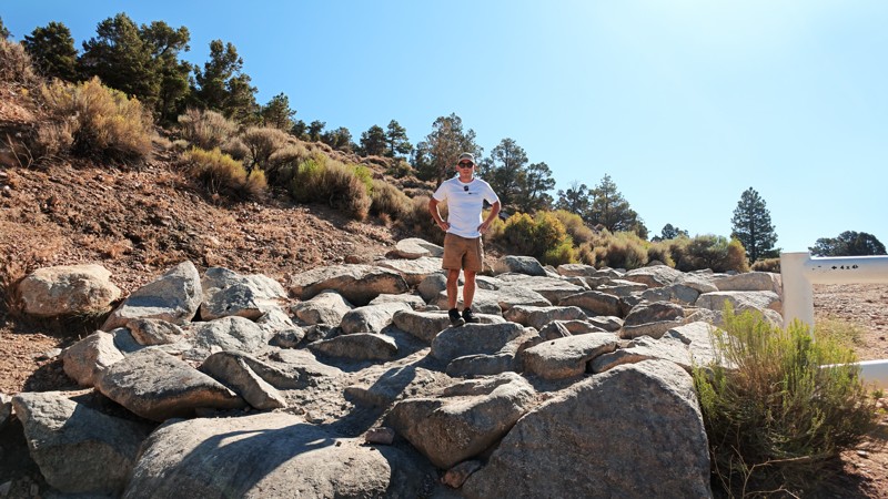
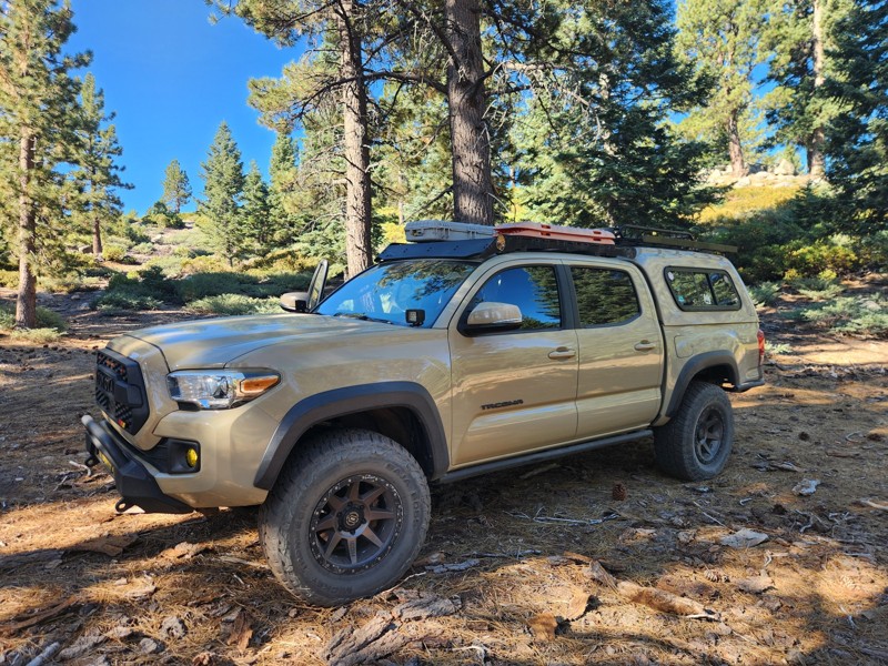
This up-and-back road offers several flat dispersed campsites along its length.  Some sites are in the deep shade of the pine trees, while the best campsite, with a view, is located at the end, offering panoramas across the west end of Holcomb Valley.

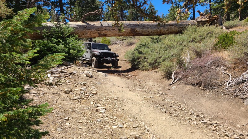
This is an easy drive but still requires a high-clearance 4x4.  There is only one obstacle to traverse, over flat embedded boulders, and a bypass provides an easier path.  After this obstacle, a huge pine tree has fallen, bridging the trail, creating a tunnel, but with enough space for most vehicles to drive under.

California: Little Bear Spring Spur B Hero Photo
Scout Route Icon
4.7/5 (8 reviews)
Updated: 04/22/2026

Little Bear Spring Spur B

Fawnskin, California

2N84B wraps around Delmar Mountain in the San Bernardino National Forest near Big Bear Lake, California. It is an out-and-back trail with rough terrain, several narrow sections, and moderate hill climbs. It is suitable for most stock 4x4s and new drivers. The trail ends near the Pacific Crest Trail, where you can find several flat tent spots.

California: Oak Springs Road Hero Photo
Scout Route Icon
5/5 (1 reviews)
Updated: 09/24/2025

Oak Springs Road

Fizzben Heights, California

Located on the southern slopes of the San Bernardino Mountains and within the beautiful Juniper Flats desert area, Oak Springs Road's 4,500-foot altitude provides endless views to the west, with access to several hiking trails and intersecting BLM-designated roads to explore. 

There are a few dispersed campsites along its length, offering a choice of single-vehicle campsites with views to the west or tucked next to the spectacular boulder formations that line the trail.

This is an easy trail requiring only a two-wheel drive vehicle, but with some clearance to handle the occasional embedded boulders and water-worn furrows across the road.