
Holcomb Creek Trail (6.83 miles away)
Big Bear City, California
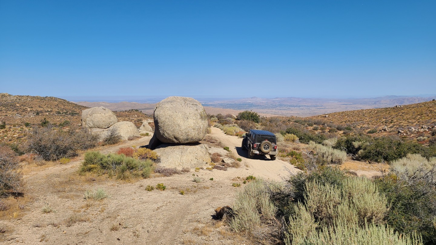

Carbine Flat Road sits on the northern edge of the San Bernardino National Forest, dropping 1,000 feet along the rim of Lion Canyon before reaching Carbine Flat and a small meadow. The route offers sweeping western views, dispersed camping, access to nearby hiking and OHV trails, including Devils Hole 2W01, and an off-road adventure that ends at Coxey Creek, where a lush green corridor contrasts sharply with the surrounding desert.
While campsites are limited along the descent, the trail’s end rewards travelers with a wide, flat clearing beside the creek. Surrounded by trees and soft ground ideal for tents, this area comfortably accommodates three to four vehicles.
Rated “More Difficult” by the Forest Service, the route begins with a moderately challenging, washed-out descent marked by embedded boulders and sheer 18-inch drops. Beyond that, the trail transitions to a mostly flat dirt road with minor washouts and some brush that may cause light pinstripes. This trail is best suited for a high-clearance 4x4, and an experienced driver