By clicking "ACCEPT", you agree to be the terms and conditions of each policy linked to above. You also agree to the storing of cookies on your device to facilitate the operation and functionality of our site, enhance and customize your user experience, and to analyze how our site is used.
Arizona Off-Road Trails
359

4664
Detailed Waypoints Try a Free 7-Day Trial and unlock it all
Start a Free Trial Most Recent Trail Reviews
Rated 5/5
Open
Visited: 11/10/2026
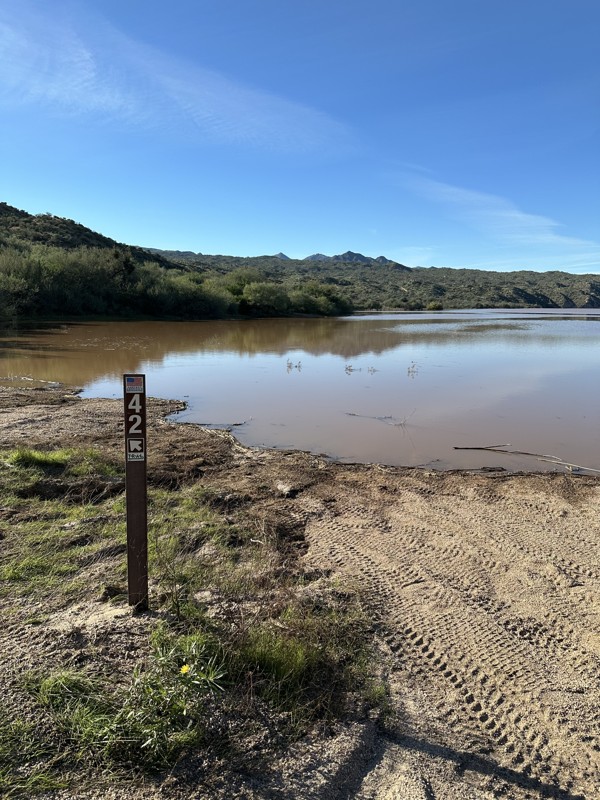
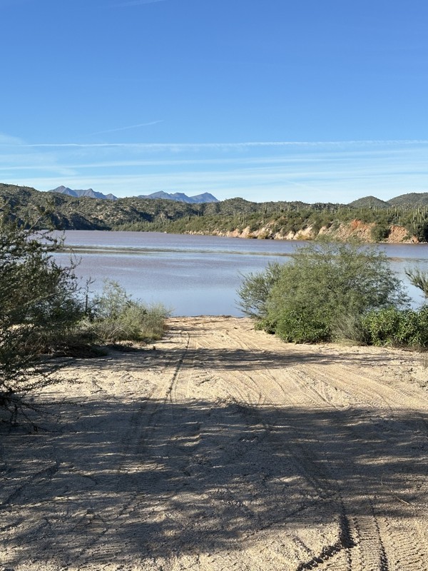
We took this trail today. The recent rains/flooding looks like it has had quite a bit of water runoff which created even deeper ruts. But the biggest issue is the flooding from Bartlett lake. It’s...

JJ
Jeff Johnson
No Rating
Open
Visited: 11/10/2026
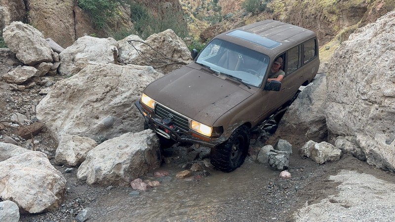
This trail is extreme difficulty for a lifted jeep on 38s and moderate difficulty for a dedicated rock crawler. This trail should be a 7-8 rating
Joel Nadler
Rated 5/5
Open
Visited: 11/08/2026
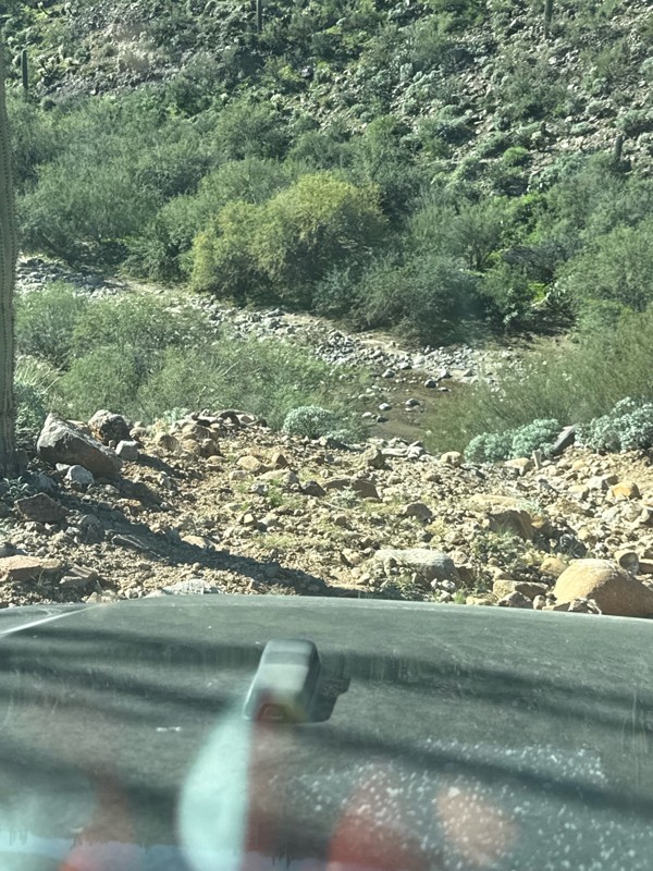
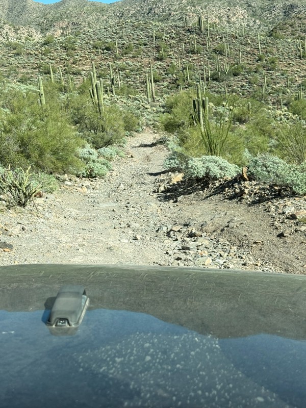
This made for a perfect Sunday trail ride. The flooding has pretty much all died down but there was still some water flowing for some very easy water crossings. There are lots of spur trails to explor...

Brandon Klein
Rated 4/5
Open
Visited: 11/08/2026
Ran the full trail and it was great, no major issues from the storm. Perfect time of year to go, all the mountains were green and the views were stunning.
A
Aaron
No Rating
Open
Visited: 11/08/2026
After the late OCT and early NOV heavy rains and flooding in Sedona, a great deal of the sand and dirt on the trail and especially on the obstacles has washed away.
JK
John Kane
Rated 5/5
Open
Visited: 11/07/2026
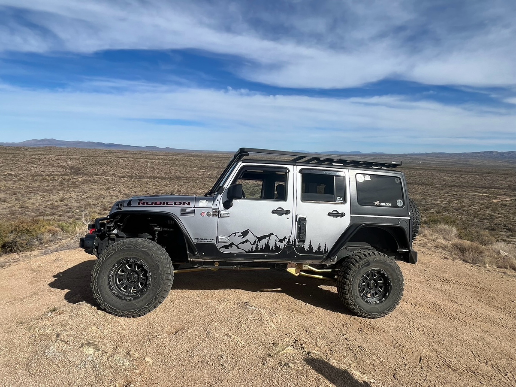
Charoyleau Gap is in hero mode right now. I’ve been across it 3 times in the last month and it got better each time. Entry into the creeks was driving on top of large bolders and vehicle protection wi...
Ken
Rated 4/5
Open
Visited: 11/07/2026
This was our third time running Morgan City Wash. Our previous two trips were in our Toyota Tacoma, but this time we brought our 2026 Jeep Wrangler Rubicon X, and I'm glad we did!
The recent rains ha...
SF
Shawn Fewell
Rated 5/5
Open
Visited: 11/07/2026
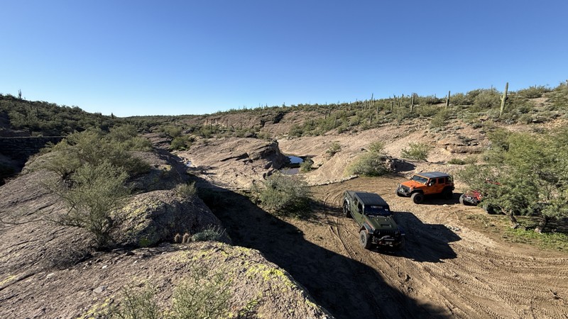
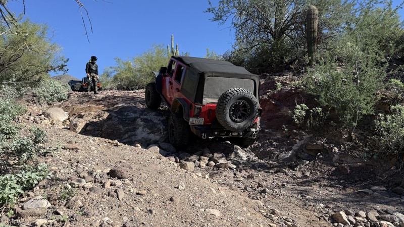
If you follow the trail as mapped and written, the difficulty level is spot on. It was interesting to see the aftermath from major flooding. The debris was really high up the sides of the canyon.
Bobby Rumbaugh
Official Crew
Rated 4/5
Open
Visited: 11/07/2026
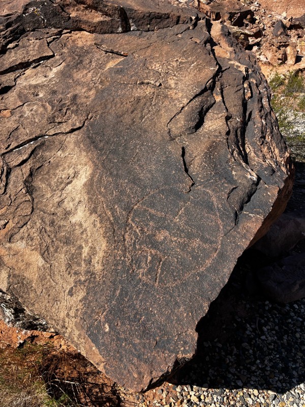
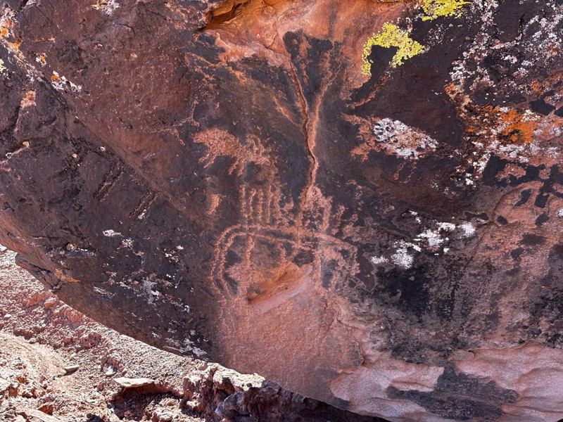
Wouldn’t do it if raining or wet, but it’s super easy dry and the petroglyphs are worth it.
RC
Randall Crafts
No Rating
Open
Visited: 11/05/2026
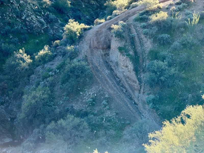
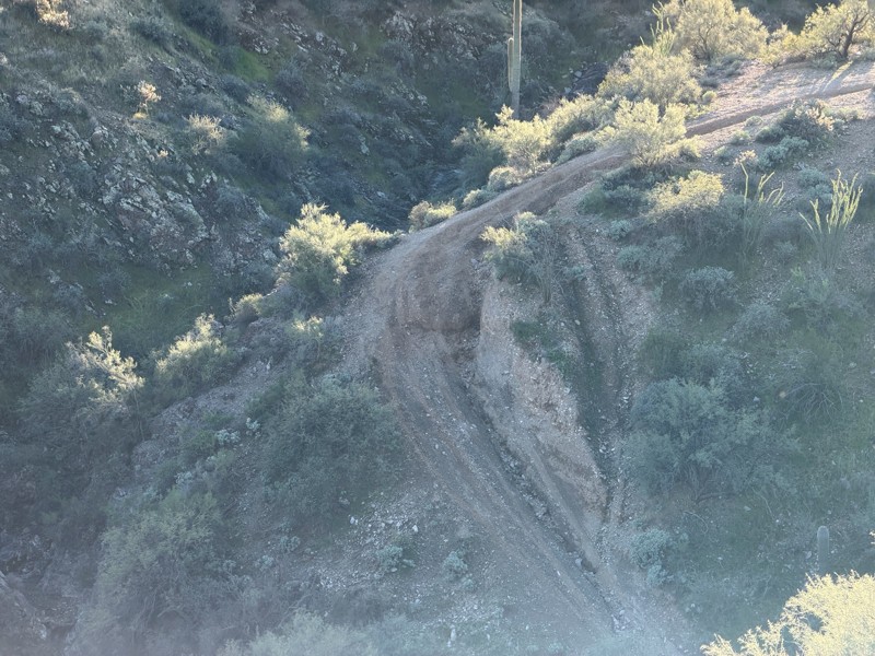
A beautiful, scenic ascent that I would recommend to everyone. However, the descent at waypoint 12 has severely eroded and become dangerous. I couldn’t see the problem until it was too late. I atte...

Brad H
MH
Mike House
No Rating
Partially Open
Visited: 11/05/2026
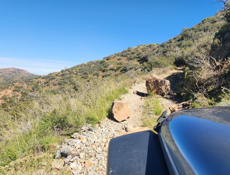
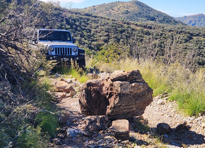
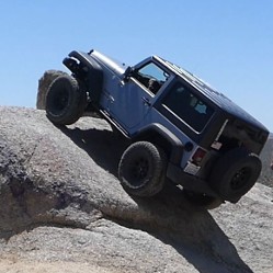
On Nov 5 three of us in well-equipped Wranglers attempted Queen Creek Canyon Trail, west to east. Three miles from the trailhead, on a narrow shelf road, with a big drop-off, we encountered a large b...
Ken
Rated 3/5
Open
Visited: 11/05/2026
This is no longer a 2. At least a 4, maybe a 5 for a few of the stream crossings. Recent storms have washed the creek out and there’s a section of the trail that was almost entirely washed away. 4WD w...
JC
John Clark
Rated 5/5
Open
Visited: 11/05/2026
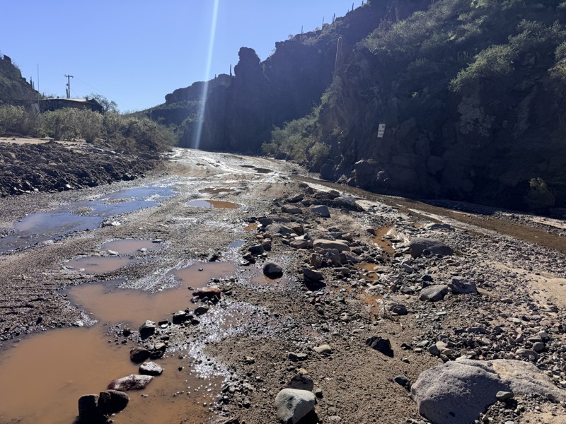
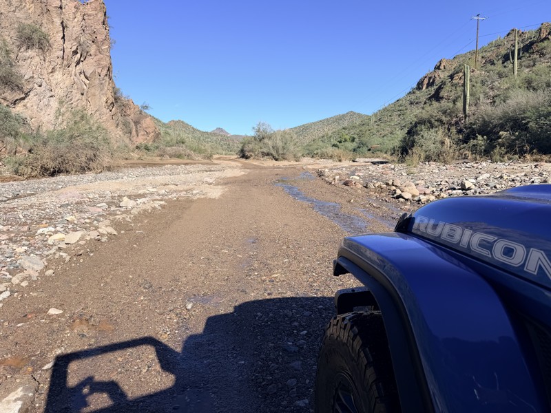
I was a little concerned that we may have to turn back somewhere after all of the rain and flooding recently. The news showed serious water just before the resort, one report said 3 feet deep. But w...
Tony Rockwell
Rated 3/5
Partially Open
Visited: 11/01/2026
Technically the trail was open, but flooding has made the water crossing impossible to cross. Fast moving water made me turn around but I will be back!
Brandon Klein
Rated 5/5
Open
Visited: 10/31/2026
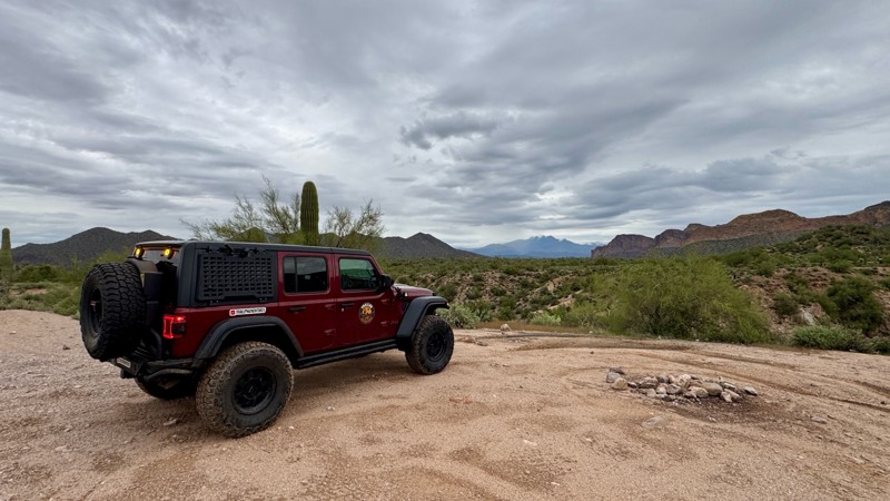
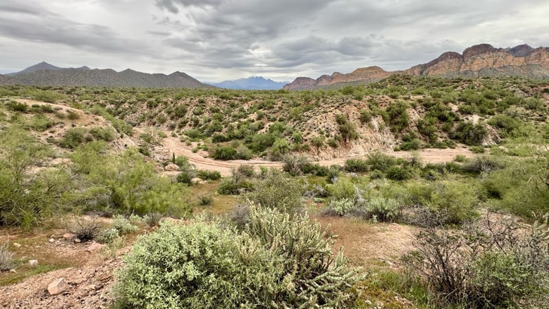
Tied this in with FR3554 for a quick Bulldog trail run. Nice scenery with the cloudy skies. Couple of good camping sights along the northern portion of the trail.

Todd Harkins
Official Crew
Rated 5/5
Open
Visited: 10/31/2026
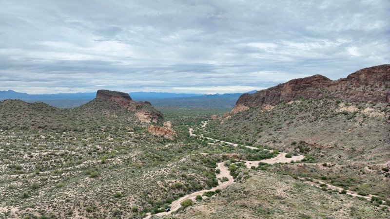
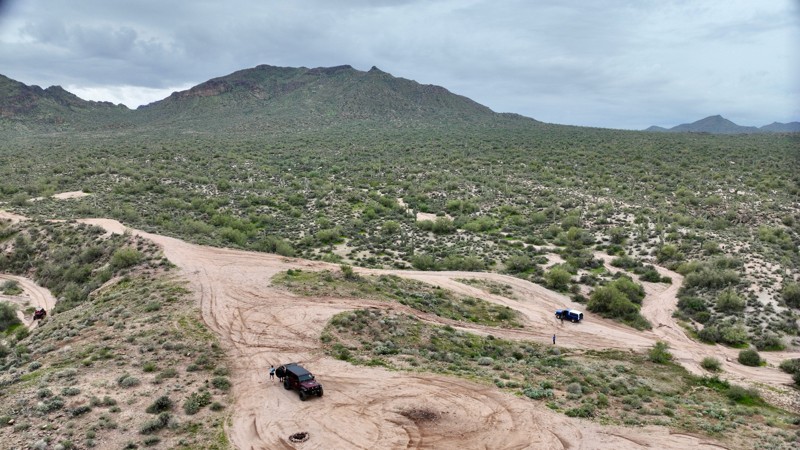
The recent storms have created some new ruts and washouts along this trail. Nothing unmanageable but certainly more rough than the last run I did on this. Even saw a Gila Monster.
Todd Harkins
Official Crew
Rated 2/5
Open
Visited: 10/31/2026
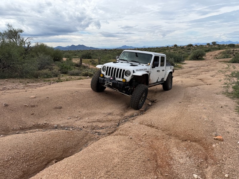
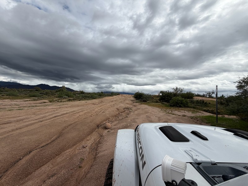
You could finish this trail in about 60 seconds haha it wasn’t hard at all. It was more of a connector. From looking at the trail you can see the entire length of the trail.
Chris Price
Rated 5/5
Open
Visited: 10/29/2026
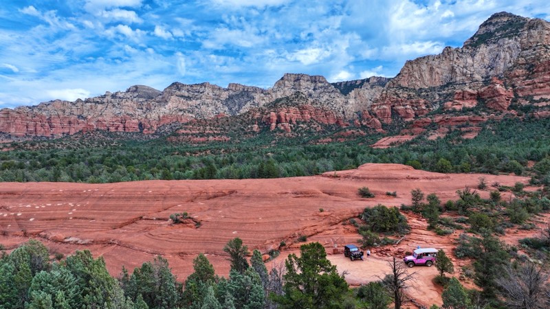
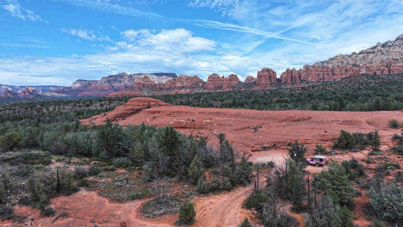
Always enjoy hitting up Broken Arrow. This time with an out of town visitor who had never been to Sedona. Such a great trail to get up and close to the red rock scenery. Oh and taking your “non off-r...
Todd Harkins
Official Crew
Rated 5/5
Open
Visited: 10/29/2026
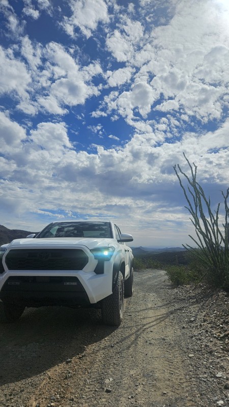
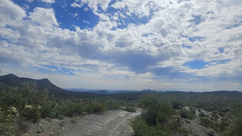
Trail starts in the wash. Pretty uneventful. once you climb out, it is spectacular! moderate challenge after challenge. A lot of climbs, decents, and mild off camber. Can't wait to run it again!
MV
Matt VanGampler
Rated 5/5
Open
Visited: 10/28/2026
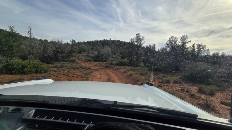
I've done this trail in the past several times. The 4/4 rating back then was totally accurate. However, with all the recent rain it's changed (for the better in my opinion) and become a bit harder. ...

Anthony Tudisco
Rated 3/5
Open
Visited: 10/27/2026
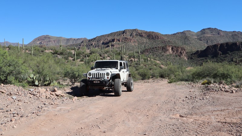
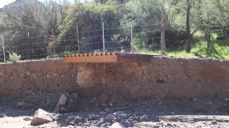
Since they were grading while we were on the trail., it was extra smooth for most of the route. After starting the day running up the more difficult Morgan City Wash, this was like a county road. The...

Bobby Nelson
Official Crew
Rated 3/5
Open
Visited: 10/27/2026
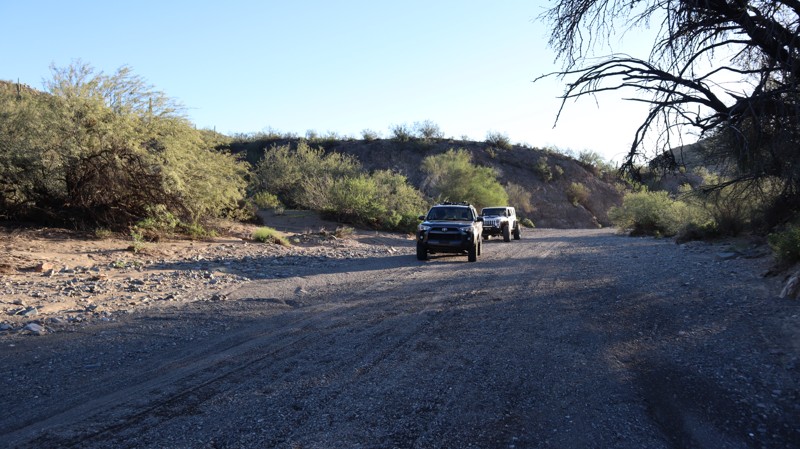
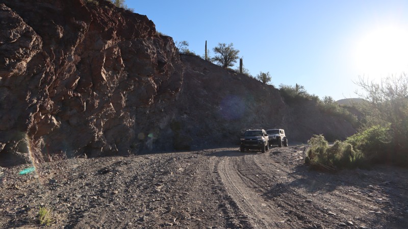
We started at the south trailhead and worked our way up to the old ranch for a warm cup of coffee. We took our time, exploring what we could on a wonderful October day. I wish I could have driven the ...
Bobby Nelson
Official Crew
Rated 5/5
Open
Visited: 10/27/2026
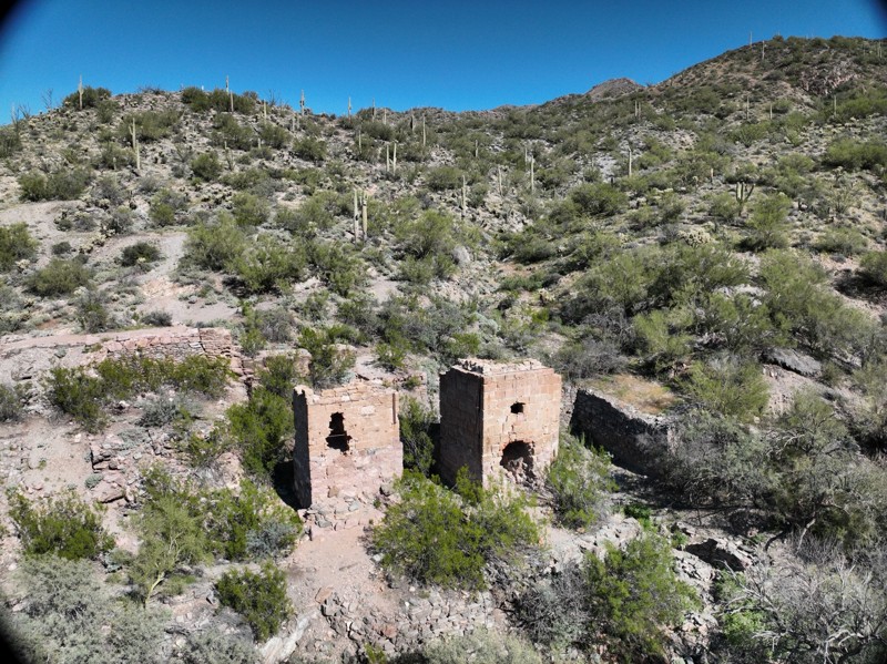
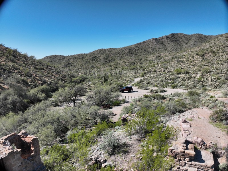
While this is a shorter trail, it is fun checking out the history of the old mine processing ruins and the old miner shack. Rating is spot on at moderate.
Todd Harkins
Official Crew
Rated 2/5
Open
Visited: 10/25/2026
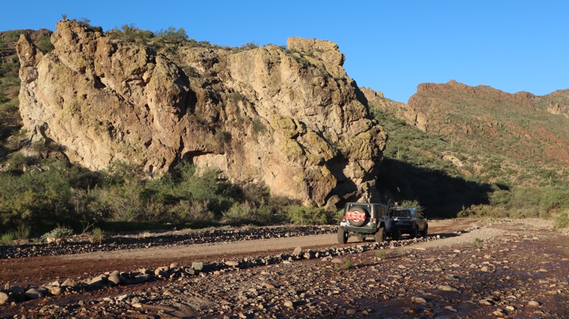
We started the morning early, catching the sunrise over the lake, setting the mood for this laid-back ride. The entire route had been recently graded, making the ride super smooth in my aired-down 4Ru...
Bobby Nelson
Official Crew
Rated 3/5
Open
Visited: 10/25/2026
Ran this with some locals from the Verde Valley Four Wheelers, 8 rigs total. Scenic, and easy enough in a stock 4x4. Caught the beginning of the fall colors. Trail was muddy die to recent rains, bu...
David Bayendor
Rated 4/5
Open
Visited: 10/25/2026
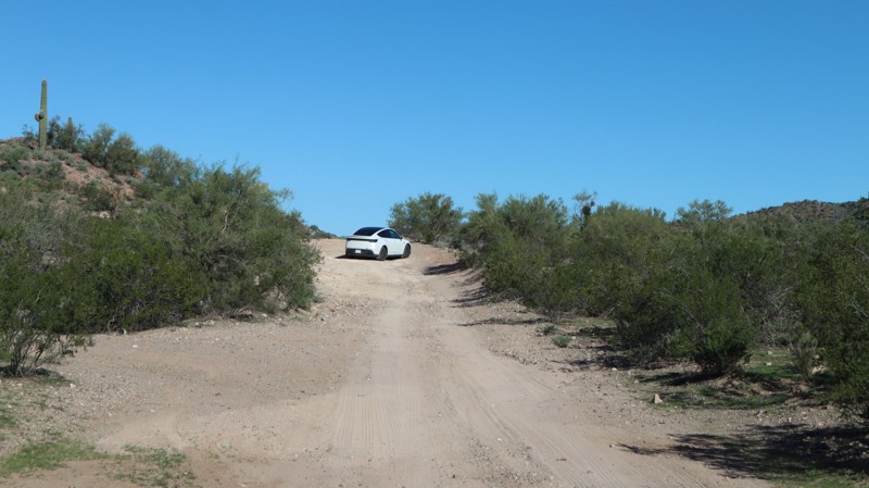
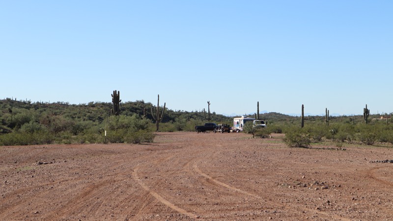
After running Castle Hot Springs, we wanted something a little more difficult, but nothing crazy in the 4Runner. This route turned out way better than we expected. It was just right for the stock Yota...
Bobby Nelson
Official Crew
Rated 4/5
Open
Visited: 10/25/2026
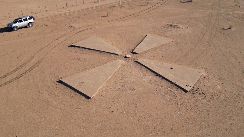
Hit the trail on a beautiful morning in the counter clockwise direction, and glad that I did! Descending widow maker was good enough for me, quite steep and slippery on the way down. Having to climb i...
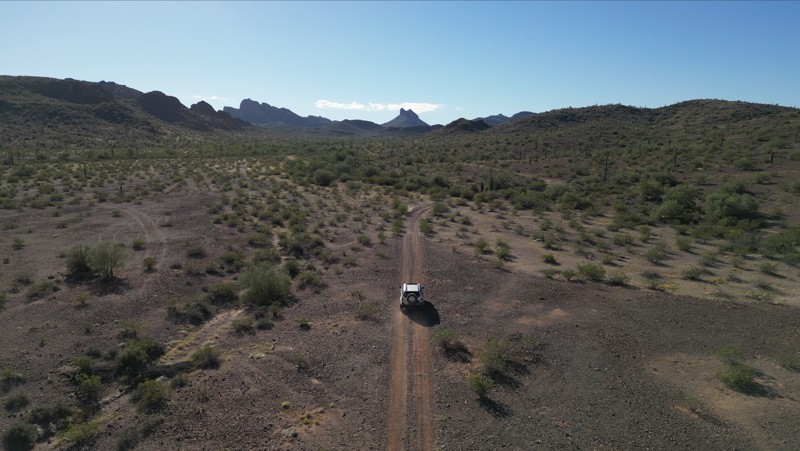

Jason
No Rating
Open
Visited: 10/25/2026
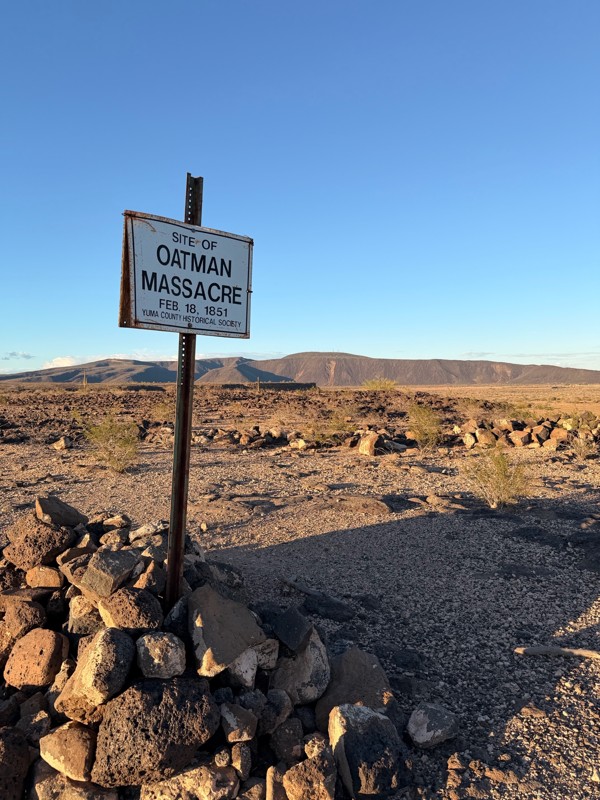
Easy 20-mile out and back. Most 2wd vehicles with good ground clearance can make it when dry. It’s a bit more rocky at the “Y” near the end. Worth the trip to see the Oatman Massacre Site.
Michael McChesney
Rated 5/5
Open
Visited: 10/23/2026
The last few miles to Tule Homestead are rougher after the monsoon, and the washout just inside the gate is much worse than last year. The homestead also has the grave of a miner’s loyal dog, Pooch, a...

Jeep 4 Dirt
Rated 5/5
Open
Visited: 10/23/2026
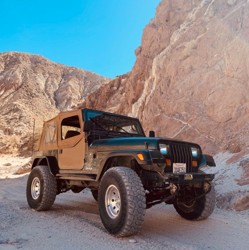
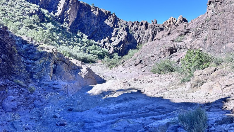
This trail is a blast!!! Excellent obstacles in a beautiful narrow wash surrounded by high rock walls and stunning rock formations. There are plenty of optional lines through this trail that are rated...

Eric Gartin
Official Crew
Rated 5/5
Open
Visited: 10/23/2026
We travelled to China Dam and then back on a loop trail that adds a steep, tippy, off-camber climb. This is a fun trail and a great alternative route that also has some navigation challenges.
Jeep 4 Dirt
Rated 2/5
Open
Visited: 10/22/2026
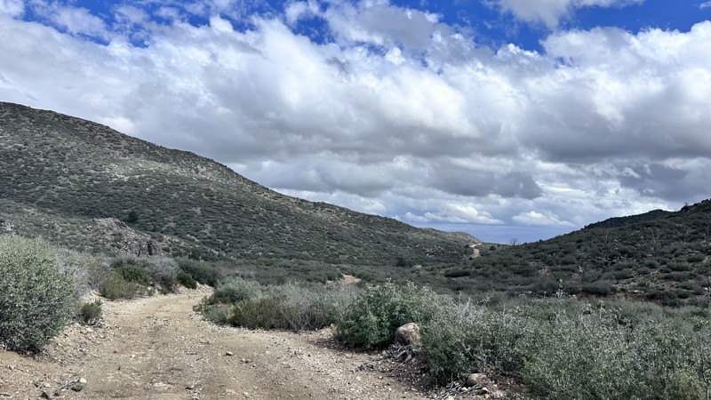
This trail is the easiest way to access the Gold King Mansion in Moss Wash. To do this you will still have to negotiate a rock garden with rocks up to 16" in height. This easy dirt road has beautiful ...
Eric Gartin
Official Crew
Rated 5/5
Open
Visited: 10/21/2026
This was our favorite trail to date. Beautiful views every direction. My first time climbing hills like that and going down Devils staircase. Kept my blood flowing. Great day.
R
Rodger
Rated 5/5
Open
Visited: 10/21/2026
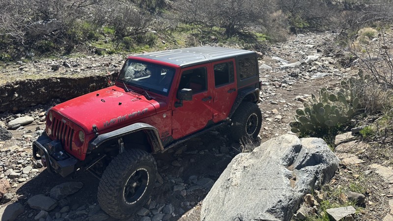
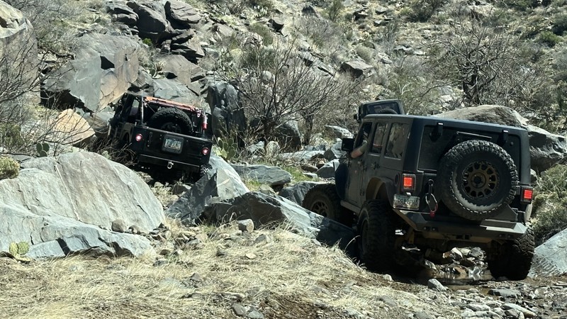
The first time I ran this trail my Jeep was on 35" tires (4DR). Though I made it through the trail I did have to winch on almost every large obstacle (trail was wet from rain fall 3 days prior). Tract...
Eric Gartin
Official Crew
Rated 5/5
Open
Visited: 10/20/2026
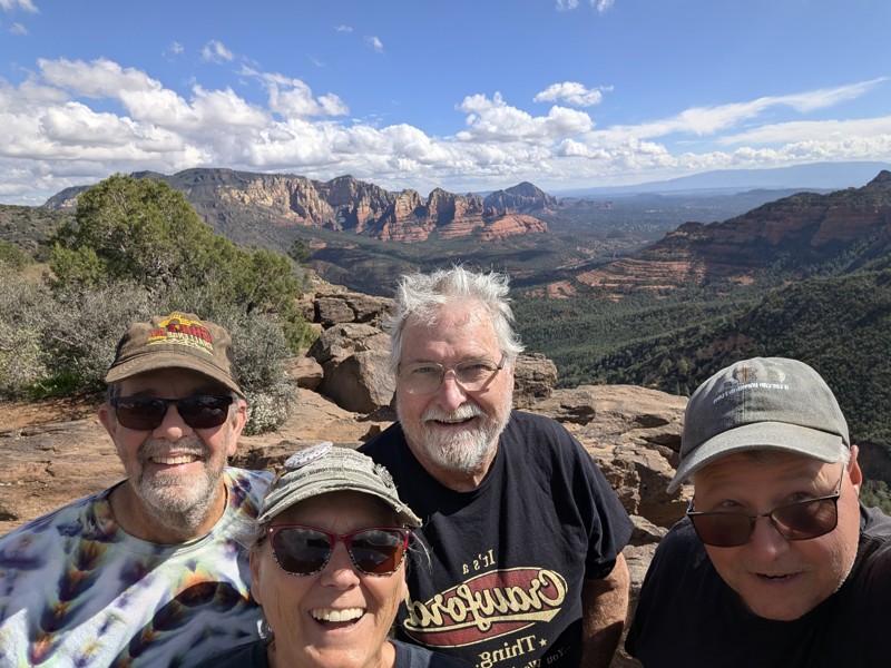
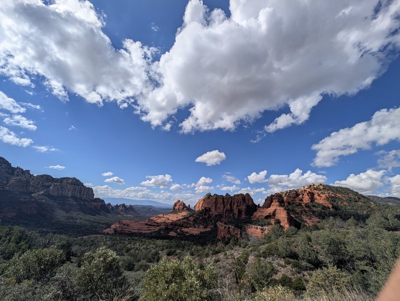
My first Jeep Badge of Honor trail, friend Jimmie rode shotgun and we followed Les and Susan. Weather was perfect, views were spectacular. Some areas of rocks were rough, but no significant difficulti...
STEVE KAROLEK
Rated 5/5
Open
Visited: 10/20/2026
This was a great trail really enjoyed the drive. Some redrock and sand. A lot of nice scenery.
R
Rodger
Rated 4/5
Open
Visited: 10/20/2026
Beautiful drive very easy. A must is to also drive Outlaw trail.
R
Rodger
No Rating
Seasonal Closure
Visited: 10/20/2026
According to this trails management agency, the trail is likely closed for the season.
You can reach out to the agency for more details.
Be sure to leave us a report and let us know ...

Trails Offroad
Official Crew
Rated 3/5
Open
Visited: 10/19/2026
A buddy and I drove the Flag Mine Road from Pine Lake to the Wabayuma Peak trailhead. We drove out on Sunday and back on Monday. We had a stock Cherokee and a slightly lifted 4 Runner. It was rough...

Charlie Parker
Rated 3/5
Open
Visited: 10/19/2026
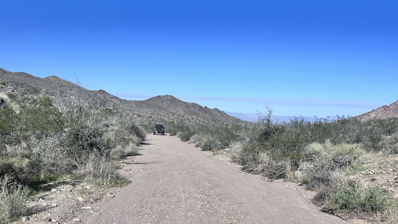
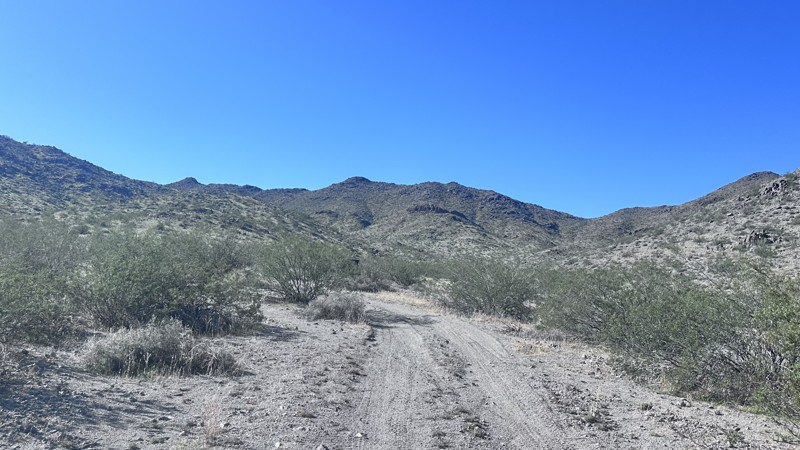
This trail is a fun scenic ride. Nothing difficult about this trail, ran it mostly in 4WD High. A lot of people come out to this area for rockhounding as opposed to off-roading. Great trail for the be...
Eric Gartin
Official Crew
Rated 3/5
Open
Visited: 10/19/2026
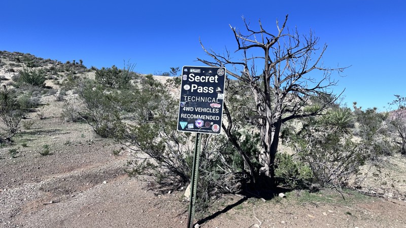
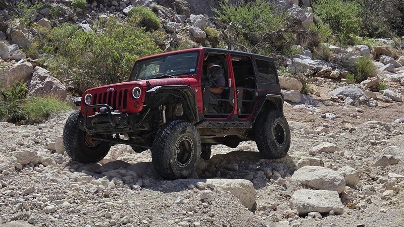
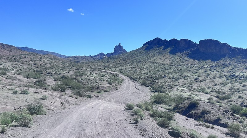
Buck Wash Road is a good trail. Mostly used for accessing other trails in the area like Secret Pass, Pass Canyon, etc. The Stripper/Bra and Panty Tree are always fun to see in the middle of the desert...
Eric Gartin
Official Crew
No Rating
Open
Visited: 10/18/2026
We drove this and it was rough. Beautiful scenery. The drive wasn’t difficult just rough road.
R
Rodger
Rated 5/5
Open
Visited: 10/18/2026
Would agree with tbe moderate trail rating. Only the last 11 miles and 11 out are a little more difficult.
Tony Crabill
Rated 5/5
Partially Open
Visited: 10/17/2026
**Closed as a of 11/3/2026**
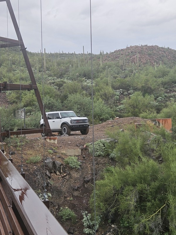
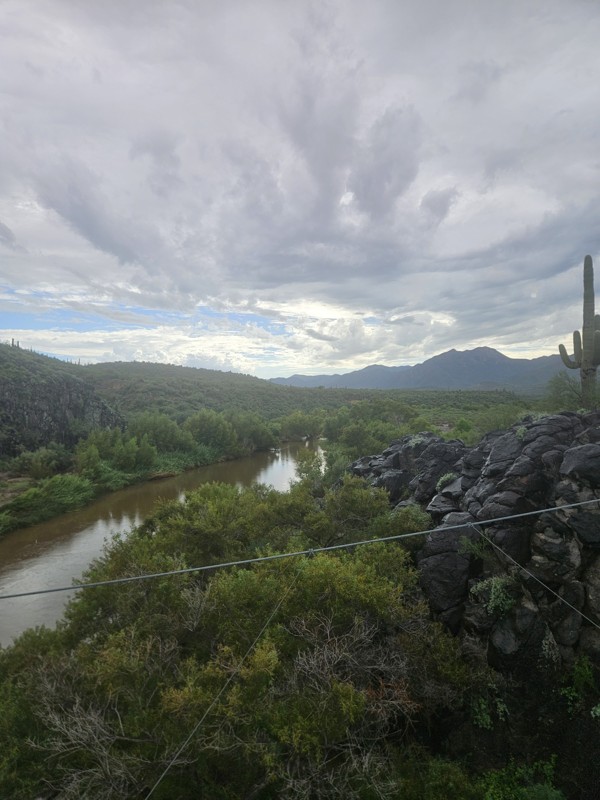
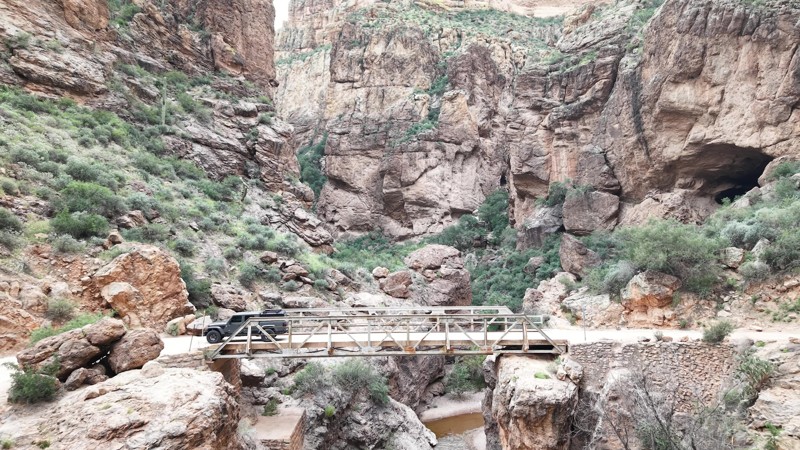
Drove the Apache Trail through the Fish Creek area before the recent storms, and all sections we traveled were passable at the time. The narrow shelf road and tight bends ...

Jens Brown
Rated 4/5
Partially Open
Visited: 10/17/2026
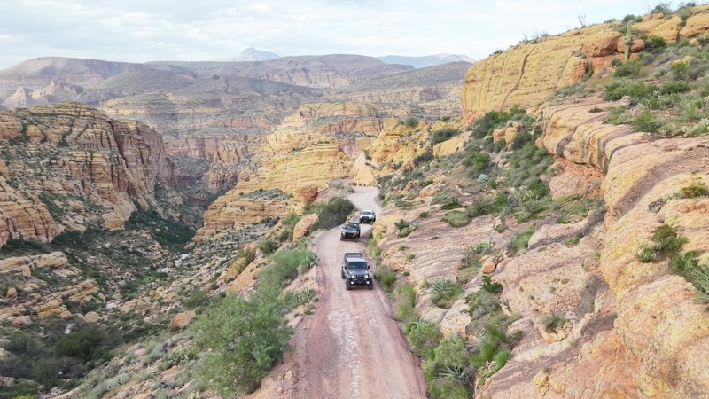
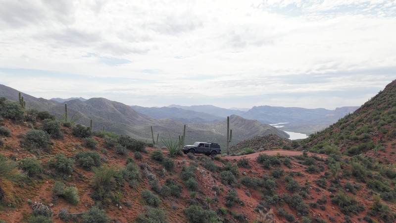
Ran Two Bar Ridge as part of my recent Apache Trail trip, and it was considerably more challenging than the moderate rating suggested on that day.
Much of the lower-elevation section and the ridgelin...
Jens Brown
Rated 4/5
Open
Visited: 10/17/2026
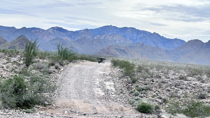
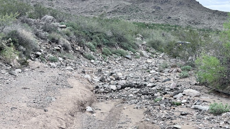
Walnut Creek is a great run. The survivalist camp is a stark reminder of how people can respond to the idea of the world ending. The camp is located on private property. Please be respectful and do no...
Eric Gartin
Official Crew
Rated 5/5
Open
Visited: 10/17/2026
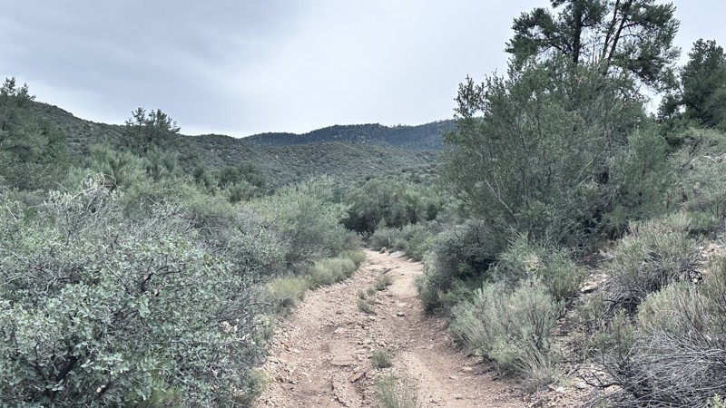
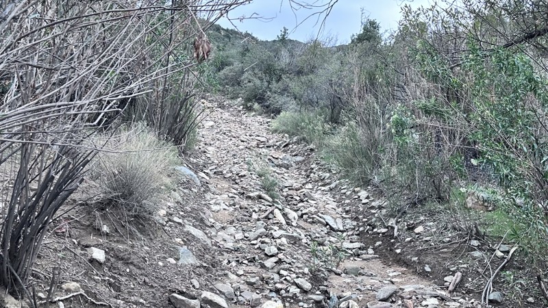
Escalator is an exciting trail to run. The change in elevation gives you spectacular views of the surrounding area. The multiple v notches along this trail keep the ride interesting. This trail is not...
Eric Gartin
Official Crew
Rated 5/5
Open
Visited: 10/17/2026
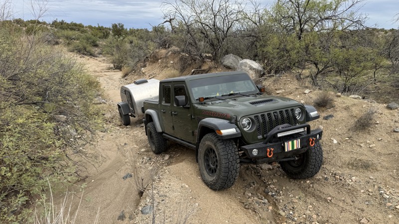
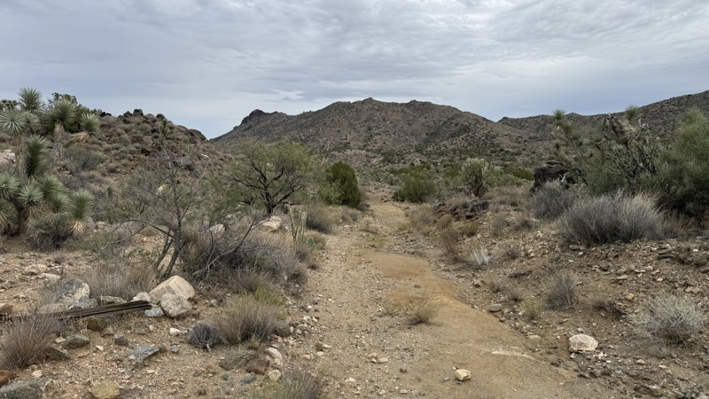
We ran it from Chicken Springs to Hwy 93 on our way back from Yucca. Super fun trail with amazing views, but the western half is pretty rugged- definitely on the high end of moderate. No one had been ...
Bobby Rumbaugh
Official Crew
Most Popular

Updated: 10/08/2026
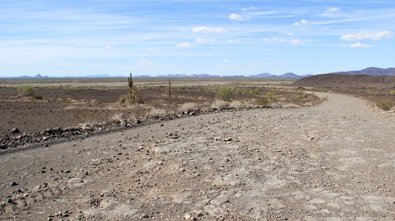
Rocky Point Road
Montezuma, Arizona
Rocky Point Road is a wide, mostly smooth dirt road that connects Saddle Road trail and 8219 trail. It travels along the south side of Oatman Mountain, where you can see communication towers and the remains of an old Air Force radar base at the top.
Any high-clearance vehicle can travel this route, and you will find a few campsites along the way.
Updated: 05/01/2026
7408
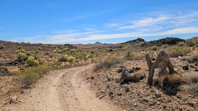
Larneds Landing, Arizona
This connector trail links the Standard Wash and Mohave Wash areas with Planet Ranch Road. It is an easy trail overall, with most sections allowing you to simply look out the window and enjoy the scenery, though a few rocky and rutted spots require picking your line.
One of this trail's highlights is its distinctive volcanic rock formations, with clear bedding and layers that are certainly worth traveling at least once to see if you're into geology. It also passes through reddish soils and patches that resemble caliche but are actually a hard, fine-grained tan-and-white material blanketing the ground. Desert vegetation includes ocotillo, Palo Verde trees, and various cacti.
Please drive with extra caution on the western side of the trail, where there are several blind corners and hills that can hide fast-moving oncoming traffic.
Updated: 09/30/2026
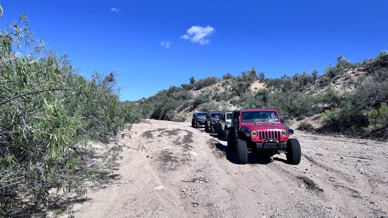
Kabba Wash
Pine Lake, Arizona
Kabba Wash trail is a 4.5-mile connector trail that starts from Blake Ranch road and follows Kabba Wash to an ending at private property. It is generally used to make a loop with Kabba Wash, 7160, and Lower Wheeler Wash. Kabba Wash is an easy, non-technical trail with minor erosion damage to negotiate. Enjoy the view as you pass by piñon pines and junipers. This trail passes through an open livestock range. Be cautious when passing cattle. Dispersed camping is allowed along this trail, though there are currently no established locations.
Updated: 11/08/2026
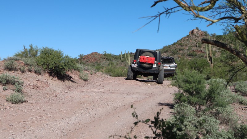
Old Stage Road
Morristown, Arizona
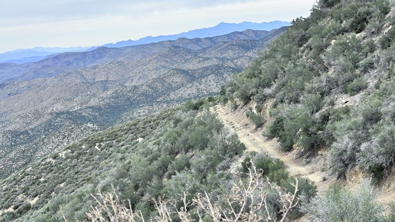
The Old Stage Road in Wickenburg, Arizona, was a 131-mile stagecoach route established in 1863. It connected the Arizona Territory's early mining camps to the ship landings along the Colorado River. This 10-mile section of the historic route travels across a ruggedly scenic desert landscape, with a couple of moderate challenges for stock-type 4x4s. The terrain is rough, and you're likely to get a couple of Arizona pinstripes along the narrow trail. There are numerous rock ledges 10''-14" tall; some are blind to the driver on steep descents. Camping was limited to the area around the southern trailhead with Anderson Mill. The camping area is very large and is used for target shooting.
Updated: 11/11/2026
Escalator
Pine Lake, Arizona
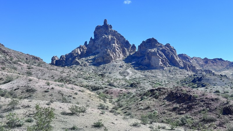
Escalator is a 4-mile straight-through trail that climbs up the Hualapai Mountain range, connecting Walnut Creek and the Survivalist Camp to Flag Mine Road. This trail was named for the steep climb along a mountain spur, gaining approximately 2,000 feet over 3 miles. As you climb into the higher elevations of the Hualapai Mountains, the trail becomes more difficult with severe erosion damage. Expect steep climbs with deep V-Notches up to 2-3 feet deep to negotiate, and off-camber sections up to 35 degrees. The final section, as you begin to crest the ridgeline, is a narrow shelf road with moderate erosion damage. This section also gives amazing views of the Walnut Creek Valley below. This trail does pass through private land; be respectful, remain on the established trail, and do not disturb equipment or livestock. Do not attempt this trail if heavy rain is forecasted. Take caution when traveling this trail after a heavy rain event due to the possibility of extreme erosion damage, which could deem this trail impassable.
Updated: 10/31/2026
Buck Wash Road
Bullhead City, Arizona
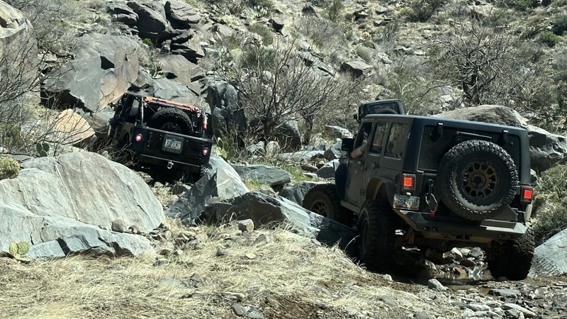
Buck Wash Road is a 10-mile point-to-point trail that crosses the Black Mountain range from the Bullhead area to the Golden Valley area. There are natural and man-made attractions along this route. Thumb Butte is one of the most noticeable rock formations in the area. Make a stop at the Stripper Pole and Bra and Panty Tree, located at the start of the trail up Buck Wash.
The trail has deteriorated over the years from heavy rain. There are multiple sections of moderate erosion damage to negotiate. The original trail has been redirected in spots due to extreme erosion. As you travel up Buck Wash, there is an optional moderate-sized rock garden with rocks up to 20" in height. The bypass is to the left of the rock garden. As you summit Buck Wash, the views of the surrounding area are spectacular.
Camping can be found in several locations along this trail. Most are found around the base of Thumb Butte. These are primitive camping sites and have an established fire ring. Check with the Kingman BLM office for the status of any fire restrictions before use.
Updated: 10/31/2026
Black Inky
Lazy Y U, Arizona
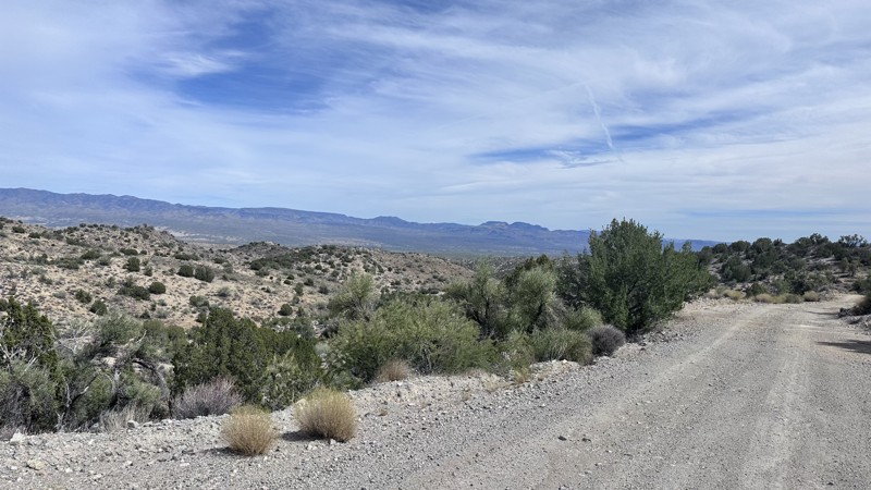
Black Inky is a short 3.5-mile technical rock-crawling loop trail named after the Black Inky Spring that feeds the wash this trail follows. The trail begins in the wash, and after a short drive you encounter the first of several rock obstacles. This trail has squeeze points, V-notches, ledges, waterfalls, and large boulders that must be negotiated. The most difficult mandatory obstacle is an off-camber waterfall which pivots around a large boulder. The wrong wheel placement can put your vehicle in a deep crack which will require assistance (winch) to escape from, and may cause suspension or body damage. Just before you reach the Black Inky Spring, the trail leaves the wash and follows a trail along the mountainside back to the main trail area.
It is recommended that you have a modified vehicle with skid plates, rock sliders, a minimum of 35" tires, and a winch to travel this trail.
Black Inky follows up a wash and is susceptible to flash flooding; do not travel when rain is forecasted.
Updated: 09/30/2026
7252/7262
Cedar, Arizona
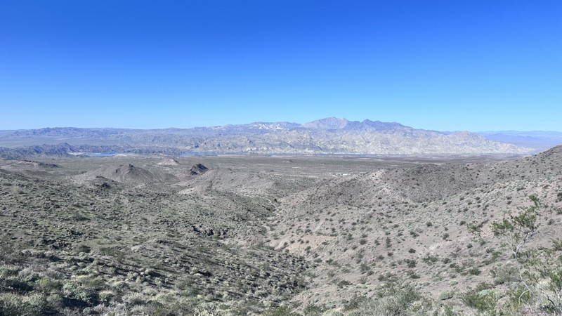
7252/7262 is a 10-mile point-to-point trail that starts off Highway 93 north of Wikieup and travels up into the Hualapai Mountains. The lower half is a maintained dirt road with only minor erosion damage. As you travel up into the Hualapai's, the trail becomes narrower, and erosion damage becomes more frequent. The trail is easily passable by any vehicle, though a high clearance 4WD vehicle is much more comfortable and reliable in this terrain. The views of the Big Sandy and the Aquarius Mountains from this trail are stunning, as you pass through saguaro and Joshua Trees, then transition into Junipers, Pinyon Pines, and Purple Sage.
Updated: 10/31/2026
7741/7839
Bullhead City, Arizona
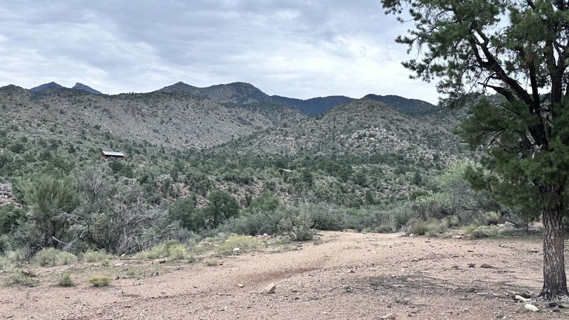
7741/7839 is a 6-mile straight-through trail that passes through the west side foothills of the Black Mountains. This fun trail ascends and descends multiple times as you pass through the foothills outside of Bullhead City. At the high point along the trail, you can get great views of Laughlin, Bullhead City, and the Colorado River in one direction and Lake Mohave in the other direction.
The trail is mostly easy, with only one climb that is relatively steep, with a couple of small ledges, less than 12" in height, followed by a steep descent with tight switchbacks into a narrow wash. Dispersed camping is allowed in this area, but there are no established areas suitable for camping along this trail.
Updated: 11/08/2026
Walnut Creek
Drake, Arizona
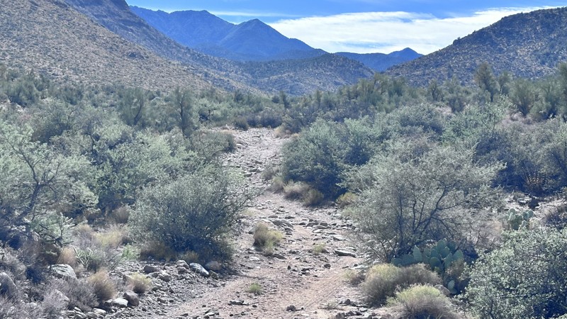
Walnut Creek trail is a 13.5-mile straight-through trail that travels from I-40 to an abandoned survivalist camp located along Walnut Creek in the Hualapai Mountain range. The Survivalist Camp holds interesting lore and history of heavily armed residents who were fanatic believers that the world was coming to an end during the 1970's. With over 30 structures, secret underground bunkers, and multiple generator pads, the residents were prepared and ready to defend their land. Now empty and abandoned, this site is an interesting place to explore.
The trail to the survivalist camp has deteriorated over the years due to heavy rain and flash flooding from Walnut Creek. Several sections of loose rock up to 18" in height must be negotiated. The trail does cross double train tracks; several years ago, 3 off-roaders lost their lives as they were hit by a speeding train at this crossing. So now all local off-roaders use the underpass to the left of the train crossing. This trail does pass through an active livestock ranch. Be respectful and do not tamper with equipment or harass any livestock.
Updated: 11/11/2026
Yellow Flower Creek
Lazy Y U, Arizona
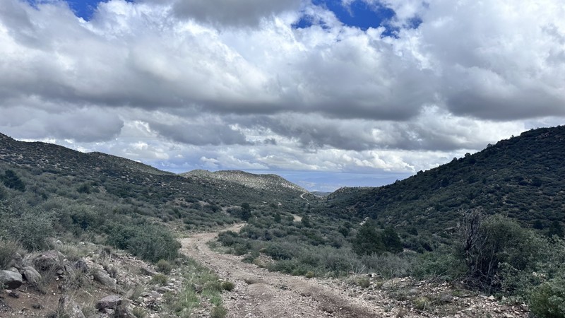
Yellow Flower Creek is a 2.5-mile straight-through trail that follows up the Yellow Flower Canyon and ends at a livestock corral, connecting to several other trails. This trail starts and ends at livestock corrals. The trail is easy for the first half with only minor erosion and small rocks. The further up the trail, it becomes more overgrown and rough, with a small rock garden to negotiate. Your vehicle will get pin-striped on Yellow Flower Creek trail. The canyon is full of Pinyon Pines, Junipers, and Purple Sage; in the spring, the canyon is scattered with patches of Golden Columbine flowers.
Updated: 11/08/2026
Cedar Wash Road
Pine Lake, Arizona
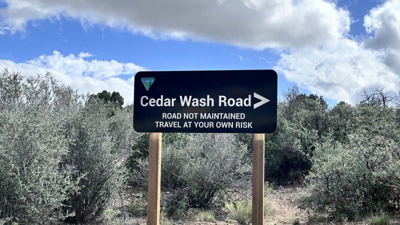
Cedar Wash Road is a 4-mile point-to-point trail that travels up the Cedar Wash Valley into the Hualapai Mountains. This trail is an easy way to access the upper portion of Moss Wash. The wash is wide at the higher elevation, which gives stunning views of the Hualapai Mountains and the surrounding area. Cedar Wash Road has no obstacles and only minor erosion damage. Easily passable by any 4WD vehicle.
Updated: 11/11/2026
Candy Ass
Oatman, Arizona
Candy Ass is a short 1.5-mile technical trail which has multiple waterfall obstacles, a large V-Notch obstacle, and several large boulders to negotiate. The first of several obstacles along this trail is an 8' steep ramp (waterfall) with a tight turn at the top; longer wheelbase vehicles typically manage this obstacle more easily than short wheelbase vehicles. The most difficult of the mandatory obstacles is a large ledge (waterfall) approximately 4' in height; the bypass is a narrow ramp which requires precise wheel placement to prevent high centering on a rock outcropping or rolling over. The driver-side front tire must climb a rock wall, placing the vehicle in an off-camber angle. Once up the obstacle, there is a deep hole which could hang up the front bumper, requiring a multi-point turn to escape. After this, there are several more obstacles, including a narrow V-notch, which also requires precise tire placement to prevent vehicle damage.
This is a challenging technical trail which requires spotters. It is best suited for a modified 4WD vehicle with a lift, at least 35" tires, and a winch for this trail. This trail follows a narrow wash and is susceptible to flash flooding during rainstorms; do not travel when rainfall is forecasted.

Upgrade your Membership
Unlock all of the details on every Trail Guide and Scout Route.
Start a 7-day Free TrialTop Arizona Cities for Offroading
Browse Trails in Arizona by City
Browse every Arizona city with offroad trail guides.
Community
Partners

