



By clicking "ACCEPT", you agree to be the terms and conditions of each policy linked to above. You also agree to the storing of cookies on your device to facilitate the operation and functionality of our site, enhance and customize your user experience, and to analyze how our site is used.
Tennessee Off-Road Trails
10
Total Trail Guides 4

97
Detailed Waypoints 70
Try a Free 7-Day Trial and unlock it all
Start a Free Trial Most Recent Trail Reviews
No Rating
Open
Visited: 08/11/2026
Per the MVUM, the trail is seasonally open. As always, check current fire restrictions/closures before venturing out.


Trails Offroad
Official Crew
No Rating
Open
Visited: 08/11/2026
Per the MVUM, the trail is seasonally open. As always, check current fire restrictions/closures before venturing out.
Trails Offroad
Official Crew
No Rating
Open
Visited: 08/11/2026
Per the MVUM, the trail is seasonally open. As always, check current fire restrictions/closures before venturing out.
Trails Offroad
Official Crew
WD
William Derby
No Rating
Open
Visited: 08/02/2026
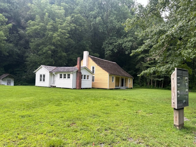
Gorgeous trail, we had so much fun. We ran it all the way down to the pioneer homes, and crossed a few bridges. There were some good fishing holes too. Easy to run with a stock setup.
LB
Lexi Brown
KC
Kim Conard
No Rating
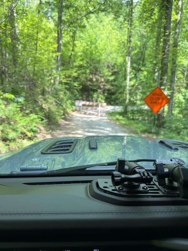
Temporary Closure
Visited: 07/18/2026
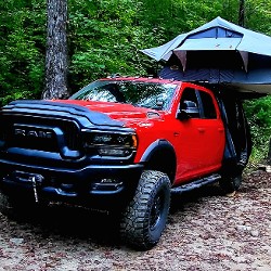
Road was closed at the Paint Creek Campground end for road work. Campground is also closed.
Matt Chastine
Rated 4/5
Open
Visited: 06/19/2026
Very hard to fine camping due to the time of year I am guessing. No camp site left. We did fine a couple spots in a campground. I will not plan on this route for camping again.

Earl Neisler
Rated 5/5
Open
Visited: 06/19/2026
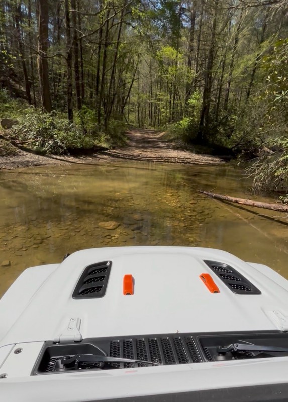
Rain the night before so the creek was up a little. Nice crossing.
Earl Neisler
Rated 1/5
Open
Visited: 06/19/2026
The only good thing about the trail is at the top the wife was able call home. So if you looking for call service. Other then that it a complete waste of time. Nothing but trees and a big beautiful c...
Earl Neisler
Rated 4/5
Open
Visited: 06/19/2026
This was a nice ride to connect to the next route. Nothing hard was rougher than most of the trails.
Earl Neisler
Rated 4/5
Open
Visited: 06/16/2026
Saw a bear, not as rugged as they made it out to be in November when they closed it before we could drive it.
CA
Christopher Anthony
Rated 4/5
Open
Visited: 06/16/2026
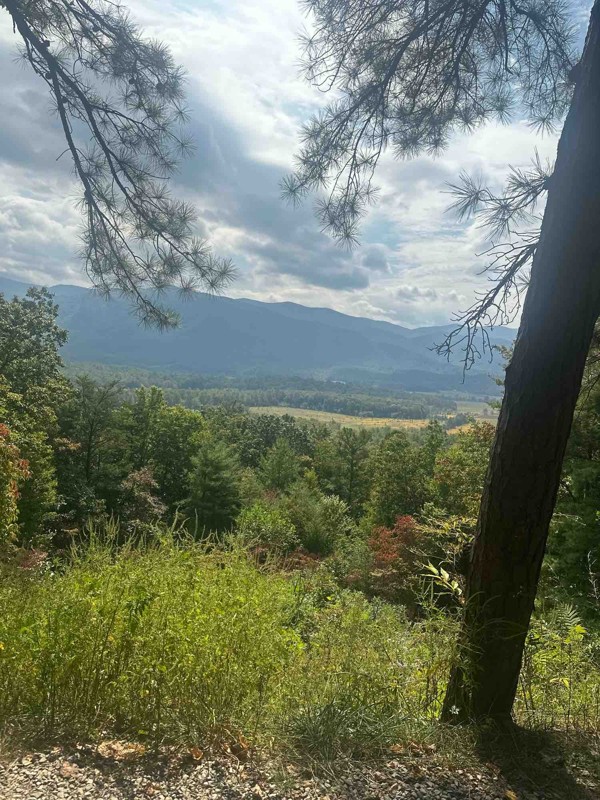
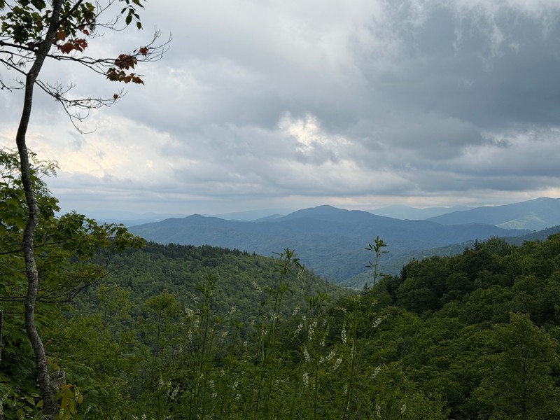
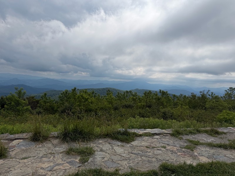
Easy gravel road with nice views. The beauty spot and Pleasant Garden had nice scenic views. We did this trail in a 24 stock JL.
KC
Kim Conard
Rated 5/5
Open
Visited: 05/14/2026
Great trail, everything they say about is spot on. We finished late in the day and took G50 back to the road and took 116 back to Oliver Springs then up to the campground.

Bob Justus
Rated 5/5
Open
Visited: 05/14/2026
Great little loop off G1 on your way over to Panther Rock. There are 2 large boulder gardens that take some trust in your ride. Mine is on 35's no lockers, 2 1/2 lift, I definitely used the rock rai...
Bob Justus
Rated 5/5
Open
Visited: 05/14/2026
Did this trail after lunch at the penitentiary (must do only a couple of miles from the end of 27). It was very rocky not obstacles just rocky and need to go slow. We took it up the mountain and swi...
Bob Justus
Rated 5/5
Open
Visited: 05/14/2026
Fun trail we did from G6. It was dry, so great grip, I could see if it was wet it would be a little more thrilling. Unless you are doing 26 this is a turn arround trail, except you can keep going a...
Bob Justus
Rated 5/5
Open
Visited: 05/14/2026
Nice forested trail, we took it after 22 on our way over to 27.
Bob Justus
Rated 5/5
Open
Visited: 05/14/2026
Nice trail, it was dry, so not very challenging, but a great first trail for my first time at Windrock running alone. I'd recommend doing this first.
Bob Justus
Rated 4/5
Open
Visited: 05/01/2026
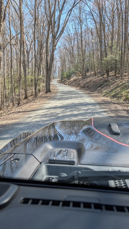
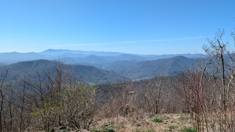
This is a stock friendly gravel road that offers some amazing views. The Beauty Spot and the Unaka Overlooks are must stop POI.

Aaron Bordeau
JA
Joe And Brandy
Rated 4/5
Open
Visited: 04/10/2026
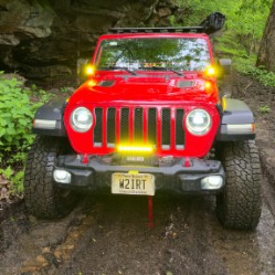
I ran this as a connector heading over to Panther Rock. It's a bit challenging and lives up to its blue "3" rating.
Peter Dougherty
Rated 4/5
Open
Visited: 04/10/2026
A rough blue-level trail. Some good views, but at over 8 miles long it got to be a slog after a while. I think a 2 is a bit underrated; I think a 3 would be more accurate. A good connector trail but n...
Peter Dougherty
Rated 5/5
Open
Visited: 04/10/2026
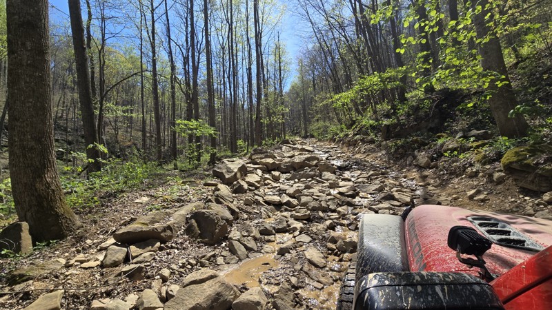
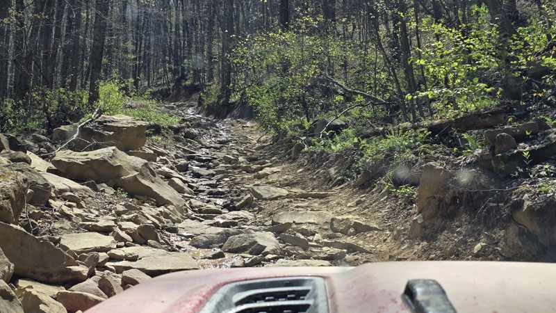
Strongly recommend running this trail in conjunction with Trail 27; go down 27 first then up 26. Trail 27 is a relatively easy and fun trail with a few obstacles, and the bottom half of 26 is about th...
Peter Dougherty
Rated 5/5
Open
Visited: 04/10/2026
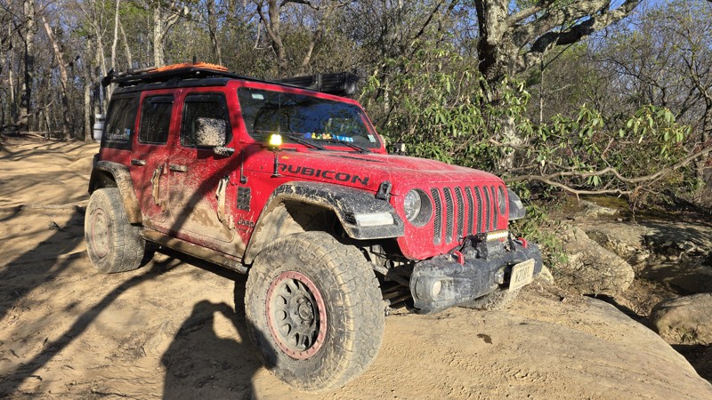
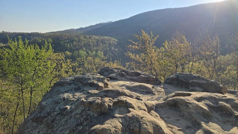
I ran this trail twice this week. Once, as I was running out of daylight, I ran it from the top and down to the overlook and back. The second time was the full trail from south to north since I had a ...
Peter Dougherty
No Rating
Temporary Closure
Visited: 02/21/2026
They have this rout closed with no date of reopen
JF
Justin Fowler
Rated 5/5
Temporary Closure
Visited: 12/23/2025
Trail ends and is closed at Old Cataloochee Entrance Road Bridge #2. Bridge has barricades on both sides and the entrance to the water crossing is blocked as well.
JH
Jonathan Hartley
Rated 4/5
Open
Visited: 12/21/2025
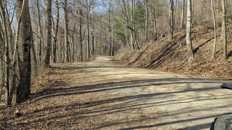
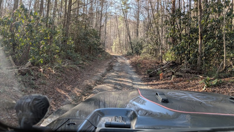
This is a nice scenic trail that offers great views. the trail is easy and we ran it in 2H the entire time. There are a few bumper spots but nothing difficult. We added in Forest RD at the west end...
Aaron Bordeau
No Rating
Seasonal Closure
Visited: 12/15/2025
According to this trails management agency, the trail is likely closed for the season.
You can reach out to the agency for more details.
Be sure to leave us a report and let us know ...
Trails Offroad
Official Crew
No Rating
Seasonal Closure
Visited: 12/15/2025
According to this trails management agency, the trail is likely closed for the season.
You can reach out to the agency for more details.
Be sure to leave us a report and let us know ...
Trails Offroad
Official Crew
No Rating
Seasonal Closure
Visited: 12/15/2025
According to this trails management agency, the trail is likely closed for the season.
You can reach out to the agency for more details.
Be sure to leave us a report and let us know ...
Trails Offroad
Official Crew
No Rating
Seasonal Closure
Visited: 12/15/2025
According to this trails management agency, the trail is likely closed for the season.
You can reach out to the agency for more details.
Be sure to leave us a report and let us know ...
Trails Offroad
Official Crew
Rated 5/5
Open
Visited: 11/22/2025
scenic and remote. best camp sights looked to be on the double camp road side, south leg of the route.
MS
michael smith
No Rating
Partially Open
Visited: 11/11/2025
Rough Creek crossing remains blocks as of 11/10/2025. In general the road north of Rough Creek is fairly rough due to ruts and small rock. Not technical, but not Honda Civic doable. No issue for hig...
RP
Randal Petty
No Rating
Seasonal Closure
Visited: 11/10/2025
According to this trails management agency, the trail is likely closed for the season.
You can reach out to the agency for more details.
Be sure to leave us a report and let us know ...
Trails Offroad
Official Crew
Rated 5/5
Open
Visited: 10/25/2025
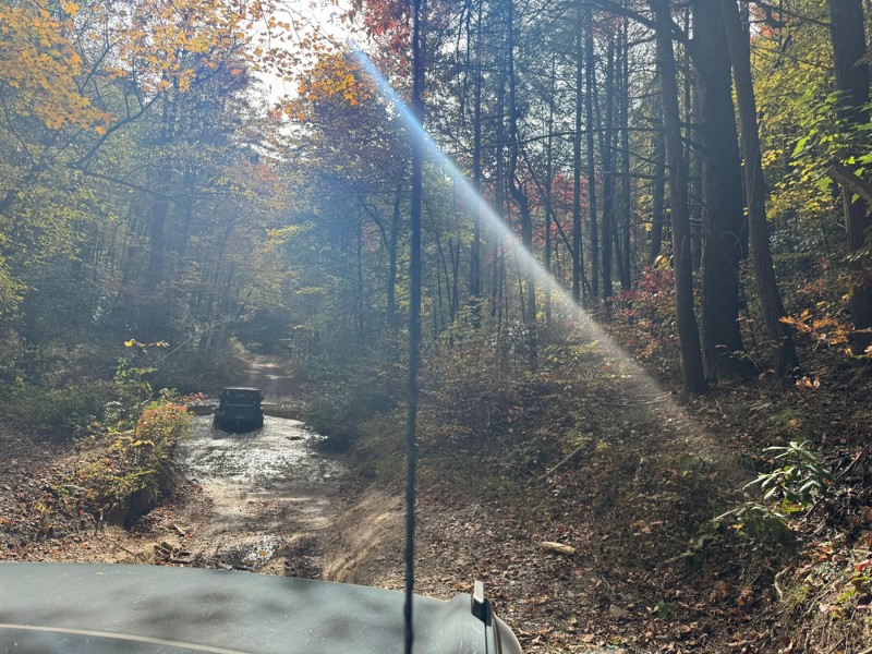
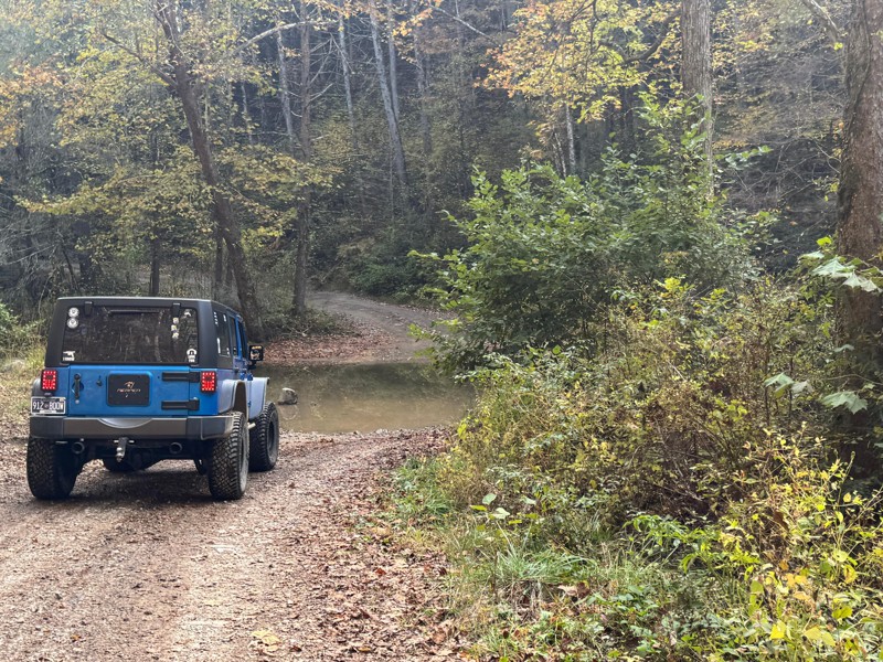
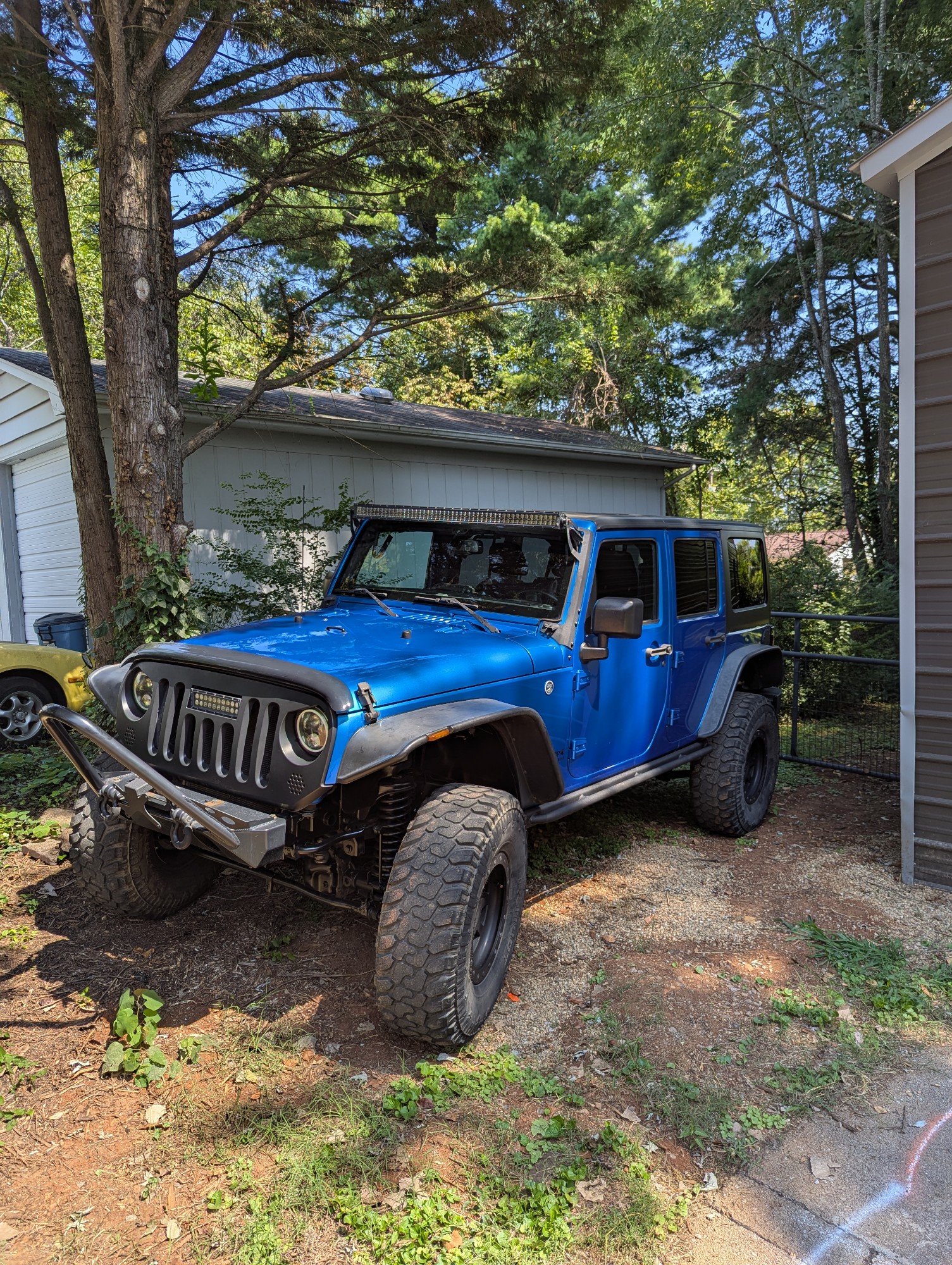
This was a fun trail to take my family out for an adventure in my Jeep. My sister came along in the stock bronco and had no issues whatsoever. I can see where some areas would be difficult if the wate...
Joseph Hollingworth
No Rating
Open
Visited: 10/09/2025
We rode Rich Mountain Road today as a family and loved it. The trail is a straight-through, one-way drive that starts from Cades Cove in the Great Smoky Mountains National Park. I stayed in 2WD the en...
DE
Drew Ezell
Rated 5/5
Open
Visited: 09/25/2025
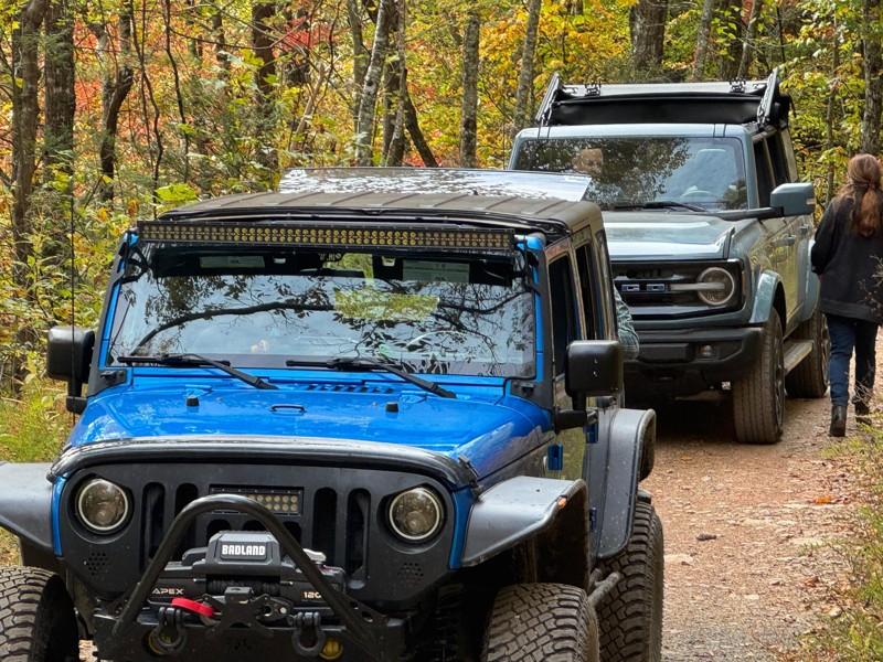
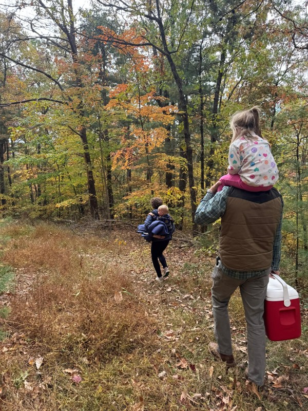
Great Forrest road to get some amazing views. The trees were in full Fall mode and beautiful! There were several campground areas off the trail that looked nice for single family use. The trail was pr...
Joseph Hollingworth
KC
Kim Conard
Rated 5/5
Open
Visited: 09/19/2025
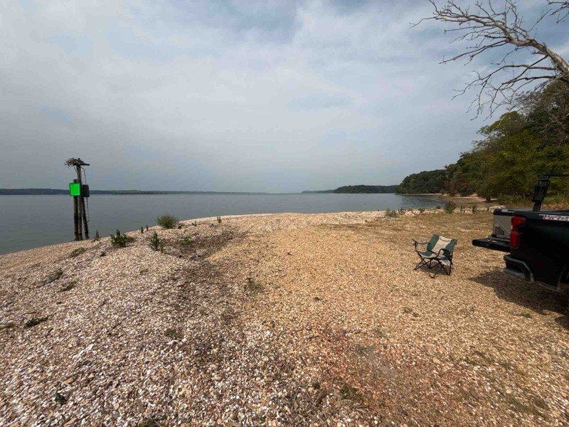
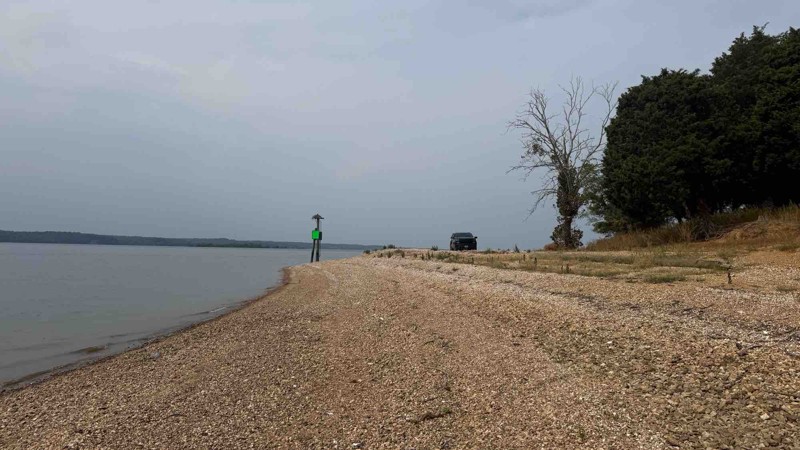
The trail was completely dry so the trail was not much of a challenge. When the ground is wet, it would be a different story given multiple holes and run off areas. There are some deep ruts and off ca...

Shayne Danielson
Official Crew
Rated 5/5
Open
Visited: 09/05/2025
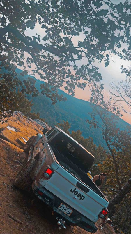
Freaking awesome freaked the fiancé out few times but worth every second of it!
DD
Dally Daniel
No Rating
Open
Visited: 08/25/2025
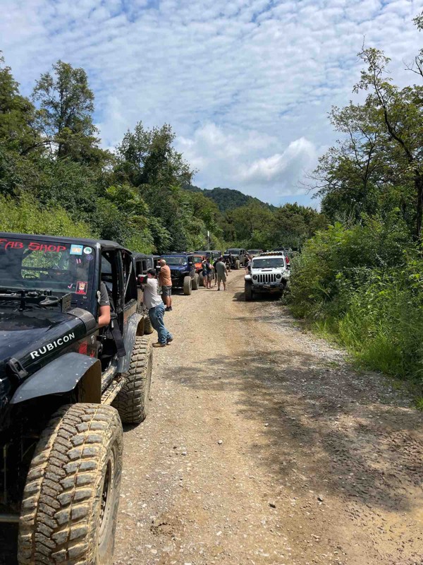
Logging on 26 has increased the mud areas and it’s more like a mud soup that’s a couple of feet deep for a long stretch.
S
Steve
Rated 4/5
Open
Visited: 08/23/2025
This trail was way more difficult then the video and the rating portayed. very large rocks and steep obstacles causing you to go way off camber. We were in a well built gladiator and made it through b...
PP
Paul Peterson
No Rating
Open
Visited: 08/23/2025
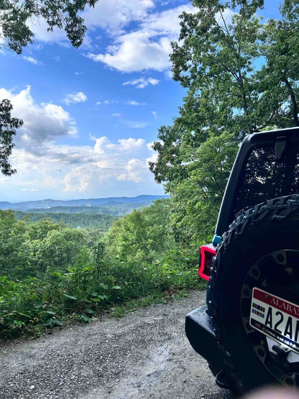
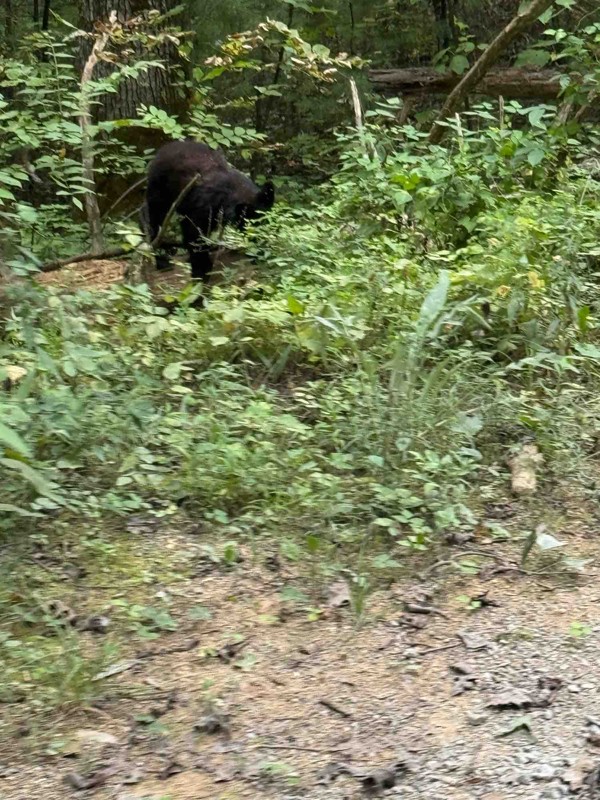
No traffic made for very pleasant peaceful ride with maximum altitude of 2600ft.
JW
Jason Winekoff
Rated 5/5
Open
Visited: 08/03/2025
Trail is open. Repairs are being made in the area. Watch out for large dump trucks hauling in gravel and work crews. Best to experience on the weekend when the crews are not working. Due to mud holes,...
LA
Lori Armstrong
Rated 4/5
Open
Visited: 07/05/2025
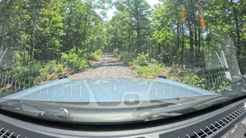
Trail looks to have been groomed with fresh gravel. There was really nothing technical to it.

Rick
Rated 5/5
Partially Open
Visited: 07/04/2025
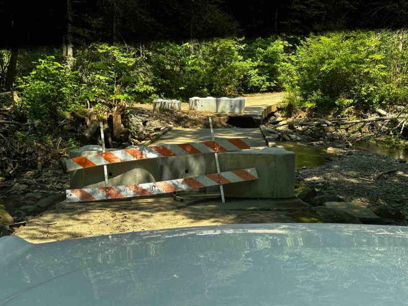
Rough Creek bridge is impassable and blockaded. There currently is no bypass in the area of the bridge.
Rick
Most Popular


Updated: 10/15/2024
Byrd Hughes Road (A)
Hamlin, Tennessee
Byrd Hughes is a bit confusing because there are two Byrd Hughes roads right next to one another. This is Byrd Hughes 391A, and the a should stand for "aggressive." The road starts easy enough but quickly turns into a rutted, muddy mess with a very small but beautiful campsite next to Hughes Bay on Kentucky Lake as the prize. Careful tire placement will be required through the ruts. Travel with others, winches, and recovery gear. This road would prove very difficult in wet conditions.

Updated: 08/11/2025
Chestnut Ridge
Tom Town, Tennessee
When starting on the trail's western end in the Martha Sundquist State Forest, Chestnut Ridge treats you with designated and dispersed camping and a picturesque Gulf Fork Big Creek crossing. Six campsites in this area are numbered, and by the creek crossing, there is a rough but short loop with other dispersed camping opportunities. The road gains elevation in the Cherokee National Forest as you make your way to Max Patch through a forest that is a little less dense than the surrounding area. Although the road is easy, rain could make the creek crossing impassable, so use caution. Suitable for any high-clearance vehicle.

Updated: 07/21/2026
Hurricane Gap Road (TN)
Houston Valley, Tennessee
This Hurricane Gap Road (31) resides in Tennessee in the Cherokee National Forest and joins its counterpart in North Carolina. Gap is another word for a pass or an opening through the mountains. Hurricane Gap is wider than most in the area, offering a rhododendron-covered floor, creeks, and a small number of dispersed camping sites. If dispersed camping is not what you are after, the improved Painted Creek Campground resides at the northern trailhead. It is suitable for any vehicle.

Updated: 09/10/2026
Windrock 35
Oliver Springs, Tennessee
Traveling south to north, this trail starts mild but gets interesting quickly after crossing the creek at the 180-degree turn. You will be challenged by continuously climbing loose rocks that get very slick with a little bit of moisture. There are optional lines through the climb to challenge big rigs, but with a steady pedal and good decision-making, you can reach the top in a stock 4x4 with high clearance.

Updated: 09/10/2026
Windrock G53
Briceville, Tennessee
G53 can be accessed via G50 or G52 and it provides quick a quick access or exit of Panther Rock. It is an easy road, with its bottom and eastern half starting in dense Kudzu vines before gaining elevation at the top as you pass old mining ruins, Black Eyed Susans, and a cell tower. A few puddles and eroded sections will be found along the way, but the road is suitable for any high clearance vehicle.

Updated: 01/06/2025
Spring Creek
Reliance, Tennessee
Spring Creek is a quaint road in South Eastern Tennessee running along its namesake, Spring Creek, down to the Hiwassee River. It is maintained and has no obstacles, making it suitable for all vehicles, and it shows with its popularity. You will likely not be alone if you choose to visit on a weekend. Camping is abundant, with many dispersed campsites along the trail. If dispersed camping isn't your thing, the Hiwassee/Ocoee State Park Gee Creek Campground lies at the western end of the trail.

Updated: 07/06/2026
Brown Gap
Tom Town, Tennessee
Brown Gap is typical of the forest service roads in this area, rough in spots, narrow, and tree-lined. Brown Gap closes the loop in the area by connecting Gulf Road, Chestnut Ridge, and Middle Road. The only camping opportunity on the trail is near its eastern terminus, but it is very close to private property. Camping is best found where Gulf Road and Chestnut Ridge join. Minor erosion ruts and rocks exist, but the road is considered easy and suitable for any high-clearance vehicle.

Updated: 10/24/2024
Windrock Connector Trail
Oliver Springs, Tennessee
This hard-packed dirt road connects the camping area of Windrock to the General Store. It will also include areas with erosion ruts and protruding rock. The north end has a reasonably steep incline or decline depending on which way you take the road, which could pose a problem for 2WD vehicles. Camping is not allowed on any of the roads within Windrock.

Updated: 09/10/2026
Windrock 27: Kener Gap Hollow
Petros, Tennessee
Windrock 27 is a two-way trail accessed from G6 or Trail 26. Offroaders can expect steep inclines or declines depending on which way this trail is driven. There's a rut large enough to swallow a Jeep. Depending on your rig, it may result in off-camber moments with the potential for light body damage if not careful.
One item of interest is if drivers access 27 from G6 and exit via G26, they could leave Windrock Park and access attractions such as the Historic Brushy Mountain State Penitentiary.

Updated: 09/10/2026
Windrock 75
Briceville, Tennessee
This trail is a double black diamond on Windrock's rating system, and numerous obstacles certainly warrant that rating. With large rock fins, steep climbs and descents, and ridge-top views, this trail has it all for a seasoned driver with a capable rig. Many obstacles have bypasses, making this a good place for people looking to try something out of their comfort zone without committing to winching all day. The obstacle in the "Hardest Part" photo has a bypass.
Updated: 10/15/2024
Indian Creek
Willis Springs, Tennessee
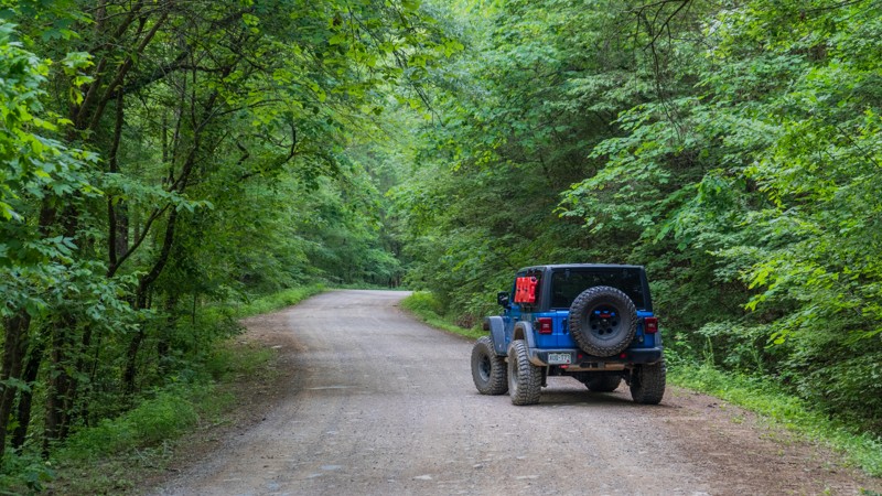
Winding its way along Parksville Lake, Indian Ridge will delight drivers with its lush vegetation, smoothly graded road, and active wildlife. You will be treated to towering Tulip Poplars, Mountain Ash, and Mountain Maple trees above, while the forest floor is littered with flowers such as the Indian Pink, Flame Azalea, and Turks-cap Lily. Birds and snakes are plentiful, and you may even be lucky enough to see a black bear! But be sure to keep one eye on the road, as there are hardly any straight sections. Camping can also be found in a few select locations along this trail.

Updated: 09/14/2026
114 Spur Trail
Yuma, Tennessee
Welcome to the Natchez Trace State Forest! This scenic, easy out-and-back trail looks like it could get muddy if it rains hard. There is a small ridge to get up to the camping area, so a four-wheel drive is a must here. The road is wide enough for larger rigs. There is a spacious campsite as well.

Updated: 09/10/2026
Windrock 82
Oliver Springs, Tennessee
This trail is almost entirely smooth gravel two-track with a few shallow puddles and small rocks strewn around. The exception is the large rock ledge at the eastern entrance. As if the ledge itself wasn't enough of a challenge, the approach is steep and covered in loose gravel. To the driver's side, there is a large tree that could easily rearrange sheet metal or remove a mirror. That risk forces vehicles into an off-camber climb attempt to the passenger side. The top of the ledge is likely to have holes from drivers trying to scramble their way to the top, making traction even trickier. Running west to east to descend the ledge, vehicles may still risk hitting their bumper and rear-mounted spare tires.

Updated: 10/15/2024
Neville Bay Road
Linton, Tennessee
Neville Bay Road provides access to a cozy campground, a boat ramp, and the historical location of the Crockett's Creek Baptist Church, dating back to 1808. The road signs, Neville Bay 1.5 Miles, are visible approaching from either direction. This route provides access to several other trails within Land Between the Lakes.
There is one lakeside campground with a couple of picnic tables, clean restroom facilities, trashcans, and fire rings. Camping here requires a camping permit. Permits are $20 for those over 18; under 18 do not need a permit. Please read the warning and informational signs to comply with the Park's regulations.
Land Between the Lakes is a 40-mile long peninsula that offers hiking trails, horse trails, 300 miles of undeveloped shoreline, mountain biking, 400-plus miles of scenic roads, and 1400 campsites. If you are one of the 1.5 million people who visit Land Between the Lakes every year, make Neville Bay Road a part of your day.

Updated: 01/06/2025
White Cliff Road
Jalapa, Tennessee
White Cliff Road is a beautiful mountain road that twists you from the Tellico Plains area of the Cherokee National Forest. The trail runs between Starr Mountain and Bullet Creek roads along Hogback Ridge, skirting the northern slopes of Black Mountain. This trail has fantastic fall colors. There aren't any campsites along this road.

Updated: 10/15/2024
Round Mountain
Tom Town, Tennessee
Round Mountain Road travels mainly through the Cherokee National Forest but is not a forest service road. Comprised of maintained gravel, it climbs up, twists, and turns through forest stands to its high point. At the high point resides Round Mountain Campground, typically open from May through the end of October. It is suitable for any vehicle.

Updated: 07/07/2025
Cane Creek Mountain Road
Ballplay, Tennessee
Cane Creek Mountain Road is a sparsely used dirt road that winds down off of the Cherohala Skyway into the vast wilderness. While the trail begins and ends in the Cherokee National Forest, it does cross private land. Please be respectful of the private properties. There are not any camping spots along this route.

Updated: 10/15/2024
Windrock G7
Oliver Springs, Tennessee
G7 is a scenic route that evolves from a well-graded road to a trail with embedded rock about 3/4 of the way in. After you pass G15, the road becomes very tight, and pinstriping is certain. Goldenrod is plentiful along this trail and adds a splash of color to the hyper-green surroundings. A couple of breaks in the vegetation give you a peek at the rolling hills surrounding the park, and if the clouds aren't too low, the windmills at the top of the ridge come into view. Some map companies indicate a road going further north of G7 from its end, but we have not verified that. Generally, trails are well-signed in the park by yellow ground stakes or tree signs.

Updated: 09/10/2026
Windrock 30
Marlow, Tennessee
Running Windrock 30 from south to north is a steady climb with a mix of obstacles, including deep ruts, v-notches, and small boulder fields. Even in dry conditions, rocks may be slick as water tends to run down this trail. Bypasses are limited, and there are several obstacles where vehicles with limited articulation will struggle.

Updated: 01/06/2025
Bullet Creek
Conasauga, Tennessee
Bullet Creek is a peaceful gravel road through the Cherokee National Forest. It can be used for a simple sightseeing drive or added to other roads in the area for a long weekend of overlanding. There was one camp on the southern end, but it sits just around the corner of a private residence.

Updated: 10/15/2024
Windrock G40
Oliver Springs, Tennessee
G40 is a straightforward out-and-back road until the last 1,500 feet. The beginning portions of the road offer sites of flowering trees, cliffs, trickling waterfalls, and even an old shack that is probably left over from the oil and gas activity you will see. When you get to the end, you can turn around before the steep and loose hill that leads to a water hole and the termination of the trail.

Updated: 09/10/2026
Windrock Trail 4
Oliver Springs, Tennessee
Trail 4, a blue trail, packs in a bunch in its short distance. It starts with a mild drive on smooth dirt past interesting rock formations before dropping into a ravine as it wraps around Toddy Mountain. In this ravine section, you are met with mild rock crawling, hard-bottomed water crossings, and even more rock formations and cliff walls to gaze at. Suitable for beginners with high-clearance 4 low-capable vehicles.

Updated: 09/10/2026
Windrock G6
Oliver Springs, Tennessee
G6 is a relatively easy road providing access to other trails within Windrock Park, such as Windrock 26. It is a packed dirt trail that is prone to ruts. However, proper tire placement should make quick work of them. Access to Knoxville Highway is also possible with the addition of Windrock 39.

Updated: 09/10/2026
Windrock G5
Oliver Springs, Tennessee
G5s true purpose is to provide access to other trails in the area, such as the famous Windrock Trail 22. It is wide, dusty, and whooped out with long washboard sections. If you get a whiff of a petroleum-based product, it is most likely not your vehicle but from the battery of tanks that you will drive past.

Upgrade your Membership
Unlock all of the details on every Trail Guide and Scout Route.
Start a 7-day Free TrialBrowse Trails in Tennessee by City
Browse every Tennessee city with offroad trail guides.
Community
Partners

