


By clicking "ACCEPT", you agree to be the terms and conditions of each policy linked to above. You also agree to the storing of cookies on your device to facilitate the operation and functionality of our site, enhance and customize your user experience, and to analyze how our site is used.
Kentucky Off-Road Trails
31
Total Trail Guides 25

298
Detailed Waypoints 39
Try a Free 7-Day Trial and unlock it all
Start a Free Trial Most Recent Trail Reviews
No Rating
Open
Visited: 08/11/2026
Per the MVUM, the trail is seasonally open. As always, check current fire restrictions/closures before venturing out.


Trails Offroad
Official Crew
No Rating
Open
Visited: 08/11/2026
Per the MVUM, the trail is seasonally open. As always, check current fire restrictions/closures before venturing out.
Trails Offroad
Official Crew

Todd
Official Crew
Rated 4/5
Open
Visited: 07/25/2026
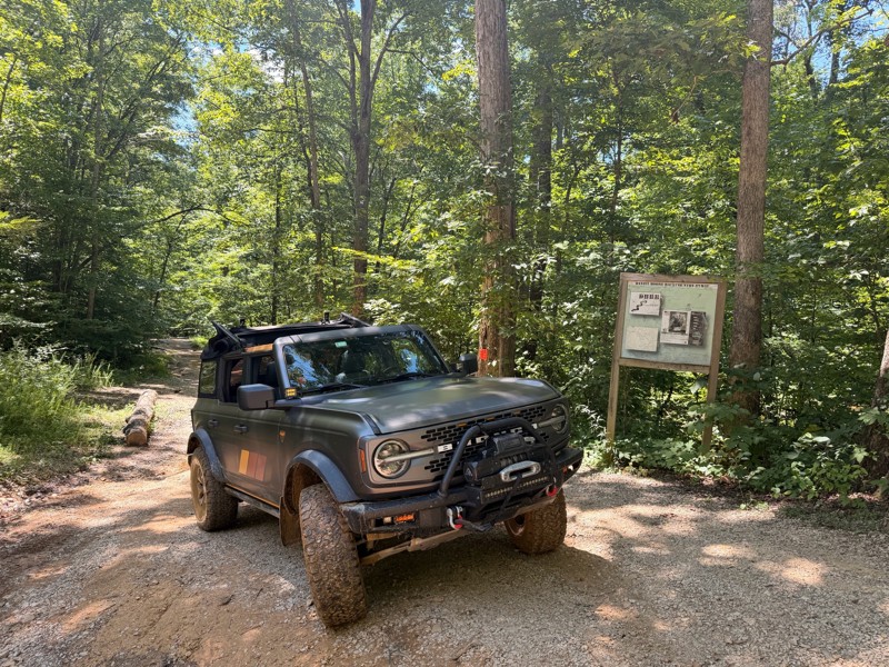
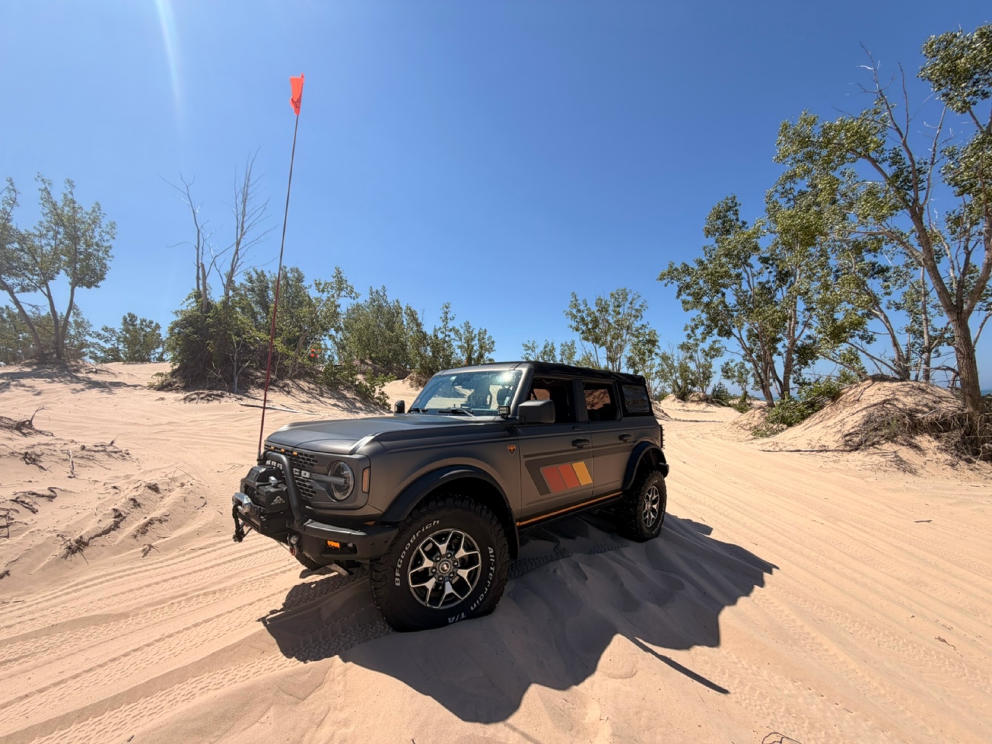
Waypoint 3-4 are no joke and at the top you gotta get the right line especially if it’s muddy like when we were there… if you’re running AT’s tires your tread gets slick real quick. My front locker sa...
Mark P
Rated 4/5
Open
Visited: 07/25/2026
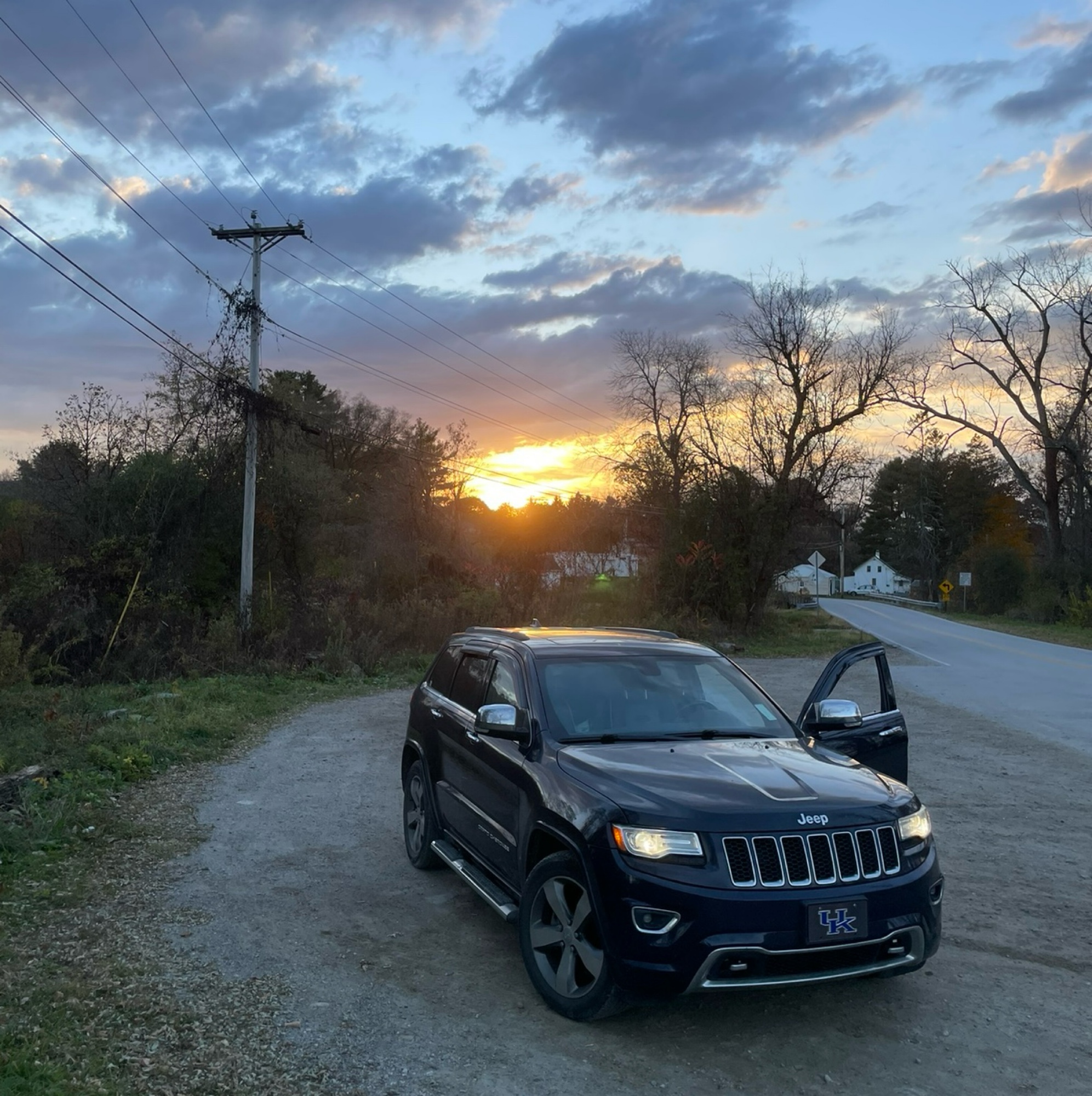
Definitely more challenging than it looks in the pictures due to a lot of recent rain causing some ruts and washouts. Big drops and exposed rocks to navigate around. I started the trail coming from Ca...
Robert Webb
Rated 5/5
Open
Visited: 07/23/2026
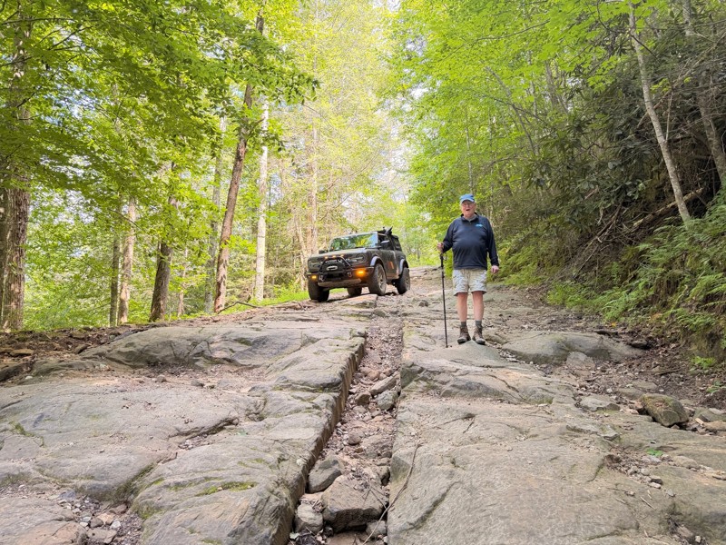
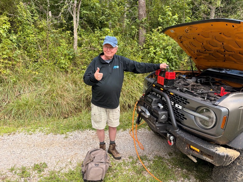
The best trail on Daniel Boone Backcountry Bwy!!! Challenging throughout the trail. The rocky decent at Waypoint 2 warms you up right and forces you to take your time to get the right line down the lo...
Mark P
Rated 5/5
Open
Visited: 07/23/2026
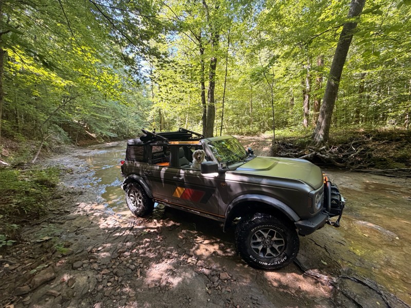
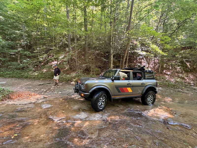
Great trail to run if you want something pretty straightforward following Spaas Creek. The most challenging portion of the trail is the mud area waypoint 9. I didn’t want to risk going directly into t...
Mark P
No Rating
Open
Visited: 07/23/2026
In a Stock 2026 Rubicon. We thought part of the trail was beyond "easy" due to ruts and needed the axel lock in one spot. Some overgrowth but we cut select bushes etc back for benefit of the next enth...
CS
Curtis Scholl
Rated 4/5
Open
Visited: 06/25/2026
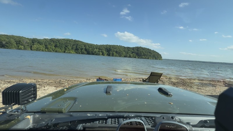
Mild to Moderate Jeep trails - some extreme grates (28+) but almost always for sbs’ or bikes. Most Jeep or 4x4 accessible trails are 2-4 with very few 5-6. Decent to fair mudholes. Overall it seem...
EP
Eric Parsons
Rated 5/5
Open
Visited: 06/13/2026
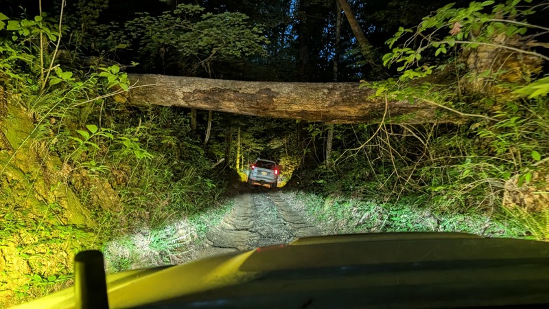
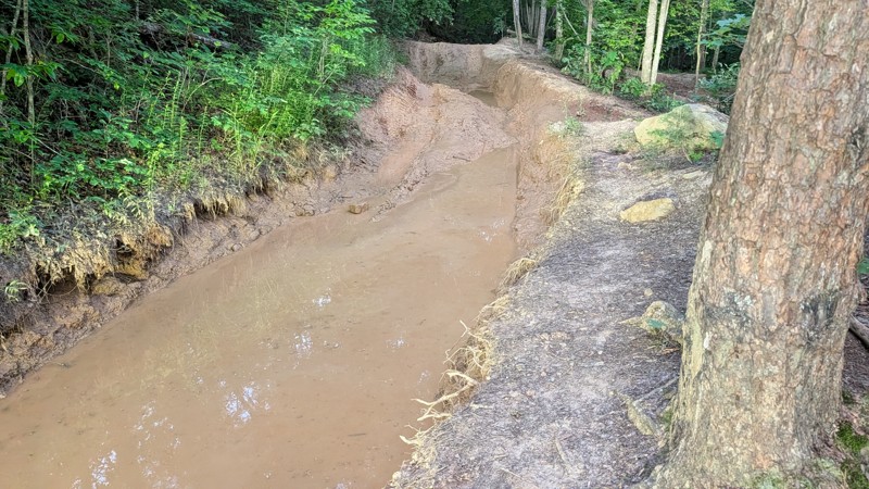
Great trail, I would say rating is close depending experience level. Not a place I would go alone or without a winch, but there was only one spot I truly needed to use my winch which was on top of th...
SP
Stephen Preckler
No Rating
Open
Visited: 05/30/2026
trail was open and water level was not too bad, the culvert about halfway through the trail is getting cut up pretty good the end of the trail is now graded so the severe off camber ruts are now gone
GM
Gary McCartney
No Rating
Open
Visited: 05/28/2026
I bumped the rating up to a 4 based on quality member feedback.
Todd
Official Crew
Rated 5/5
Open
Visited: 05/25/2026
I do agree running it backwards is a more adventurous way to go. The ruts on the eastern side when you start back down, are getting pretty deep. Some of the holes are 18-24" deep from what I could tel...
EG
Eric Gebauer
Rated 5/5
Open
Visited: 05/25/2026
I ran this after it had rained quite a bit for a couple days and the morning I ran it. It was a fun trail but definitely harder than expected. There were some nice rock edges to climb over and the rut...
EG
Eric Gebauer
Rated 4/5
Open
Visited: 05/23/2026
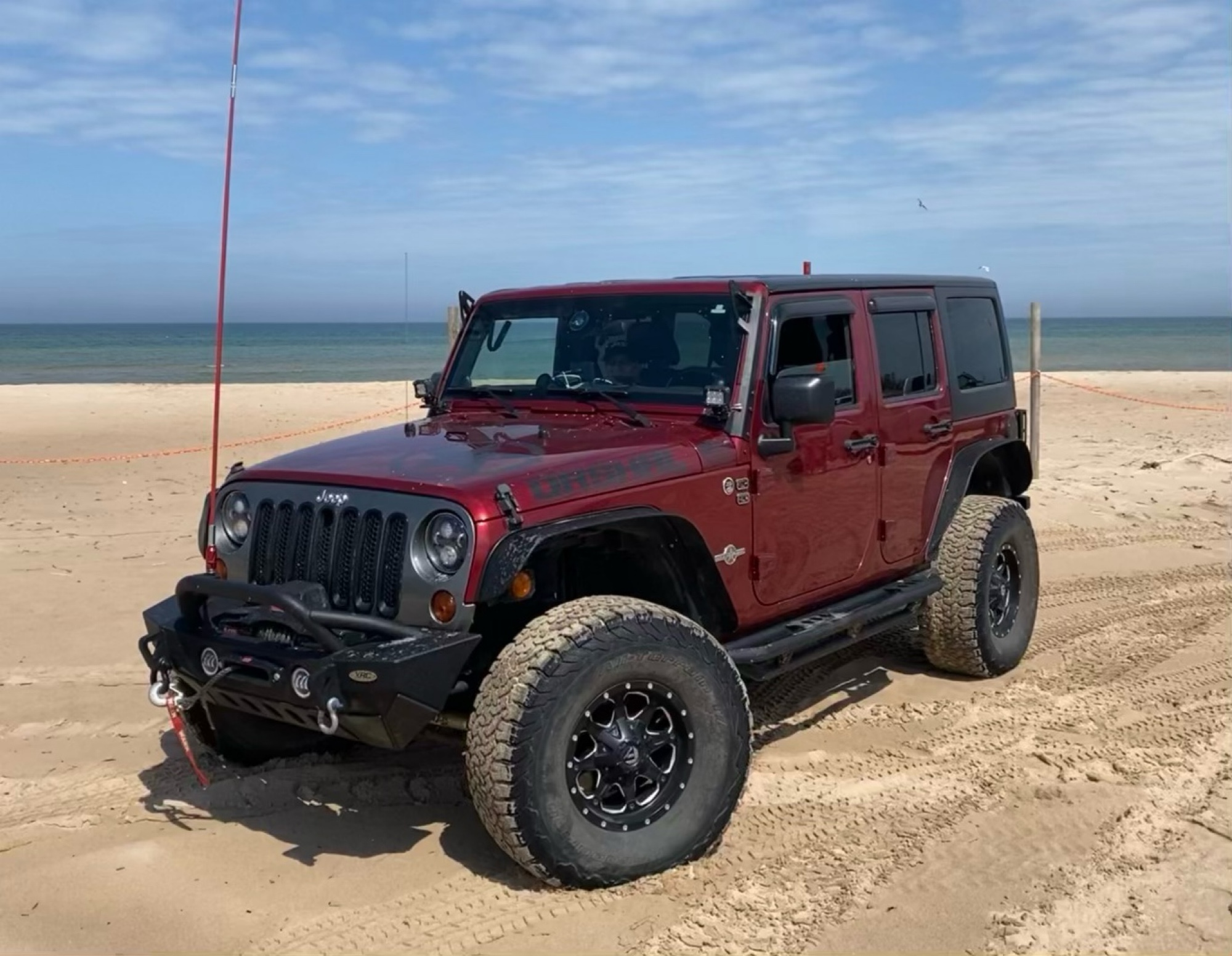
Nice trail. Stock friendly. The creek crossing is long, but there is a hard bottom and it crosses fine.
Jason McBride
Rated 5/5
Open
Visited: 05/23/2026
This was a nice trail. It was a little harder than suggested. Somewhere between waypoint 4 and 5, there are some deep holes and ruts that are hard to see when you’re coming up to them. There is still ...
Jason McBride
Jason McBride
Rated 5/5
Open
Visited: 05/23/2026
This is a great trail. We ran this trail after several days of rain. It is definitely harder than a 5. And harder than Pumpkin Hallow. Waypoint 2 has become much more aggressive with the erosion of t...
Jason McBride
Rated 5/5
Open
Visited: 05/23/2026
Beautiful. Easy. Loved the long water crossings. All of the water holes and water crossings have hard bottoms. It rained for three days prior, plenty of water. Never more than 18” deep.
Jason McBride
No Rating
Open
Visited: 05/23/2026
Beautiful and Easy. I nice breather between other trails.
Jason McBride
No Rating
Open
Visited: 05/23/2026
We traveled after it had rained for several days. Today was a little lighter on the rain but it was still in the area. Important! There is a significant mandatory obstacle shortly after waypoint 2. ...
Jason McBride
Rated 5/5
Open
Visited: 05/22/2026
Ran this trail after many days of rain. It was a little harder than I expected. There was a significant uphill (for a level 2 trail) that was washed out and slippery. Required 4wd to continue past a s...
Jason McBride
No Rating
Open
Visited: 05/22/2026
We ran Pumpkin Hallow after three days of rain and it was still moderately raining. The guide is accurate. We were able to get up the shell/ledge without too much difficulty, but you have to pick the ...
Jason McBride
Rated 5/5
Open
Visited: 05/22/2026
We ran Spaas Creek after it had rained for three days and it was still moderately raining. The creek was moving fast. All of the crossings and water holes were solid bottoms, even in the fast water. T...
Jason McBride
Rated 4/5
Open
Visited: 04/15/2026
This trail ran straight past my campsite. Enjoyed this ride as well, although I'd give it a lower rating to be honest.
Peter Dougherty
Rated 4/5
Open
Visited: 04/15/2026
This was a far more interesting ride than the main loop trail. Trail B is an out-and-back but really a lot of fun with no risks whatsoever.
Peter Dougherty
Rated 3/5
Open
Visited: 04/15/2026
I think giving a 3-rating to any of the main loop trails is generous. A two at best. The only "difficult" bits are the descent on the west end of the loop (waypoints 3,5,7,9 area). I was joking with f...
Peter Dougherty
Rated 4/5
Open
Visited: 03/21/2026
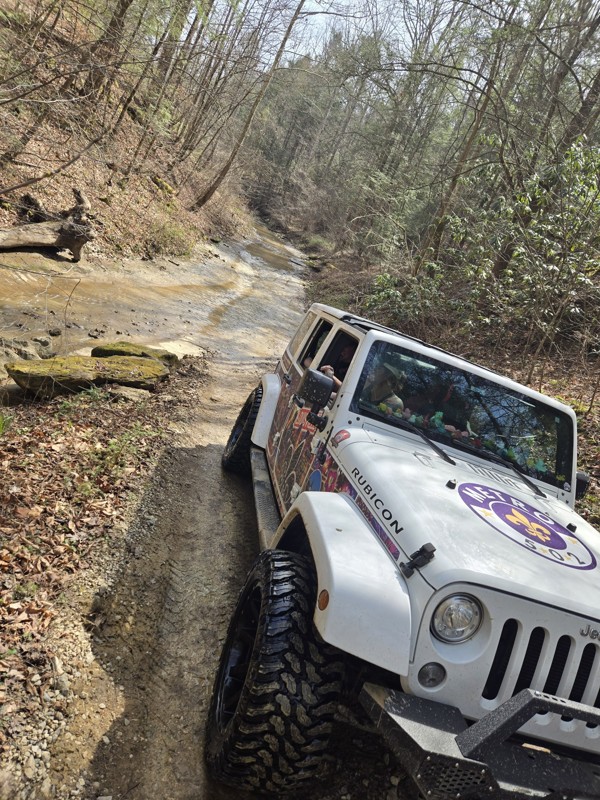
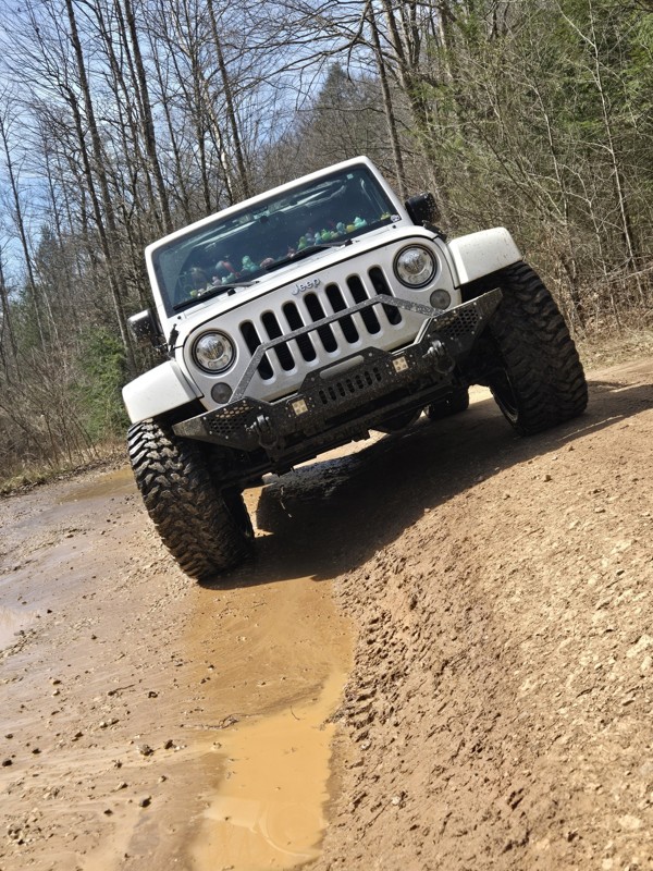
First annual girls trip, and this was the first trail we hit in my wrangler. The mud holes were full and fun. The creek was a ft or less so that was nice to drive through. We loved every second of it...
VALERIE VOGEDES
No Rating
Seasonal Closure
Visited: 12/15/2025
According to this trails management agency, the trail is likely closed for the season.
You can reach out to the agency for more details.
Be sure to leave us a report and let us know ...
Trails Offroad
Official Crew
No Rating
Seasonal Closure
Visited: 12/15/2025
According to this trails management agency, the trail is likely closed for the season.
You can reach out to the agency for more details.
Be sure to leave us a report and let us know ...
Trails Offroad
Official Crew
Rated 5/5
Open
Visited: 11/28/2025
fun trail. shorter than I expected. hardest part is the rock ledge and climb near the beginning of the trail
CH
Chris Hobbs
Rated 5/5
Open
Visited: 11/28/2025
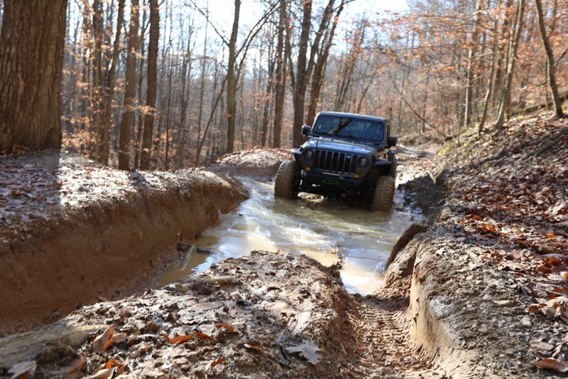
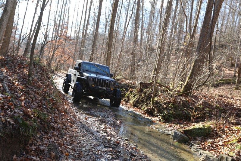
great trail. most of the mud holes look worse than they really are. there are a few spots with some erosion that could get you in trouble, but be smart and pick a line that works for your vehicle. th...
CH
Chris Hobbs
Rated 5/5
Open
Visited: 11/08/2025
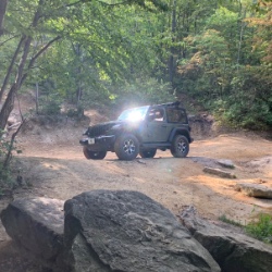
Ran this after Fixer Rd, so reverse of this guide. I’d agree that it seemed harder now with some deeper ruts, and especially at the area of the “bridge”; said bridge was non-functional, and trying to ...
Chris Warner
Rated 4/5
Open
Visited: 11/08/2025
Decent trail, especially during the fall. No major obstacles, very stock-friendly. Great for beginners.
Chris Warner
Rated 4/5
Open
Visited: 09/19/2025
Not much going on with this trail. A good connector to Bald Rock Fork from Fixer-Leeco
K
Kevin
Rated 5/5
Open
Visited: 09/19/2025
Easy relaxing trail. Creek crossings were almost dry.
K
Kevin
Rated 5/5
Open
Visited: 09/19/2025
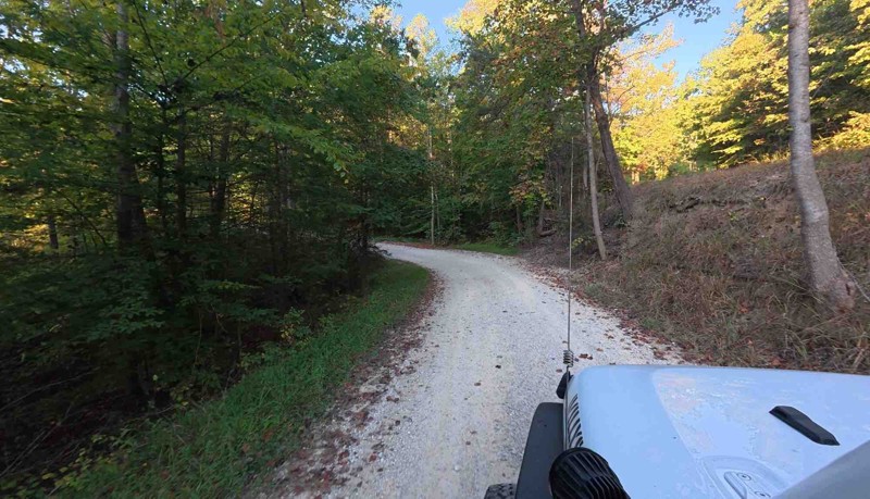
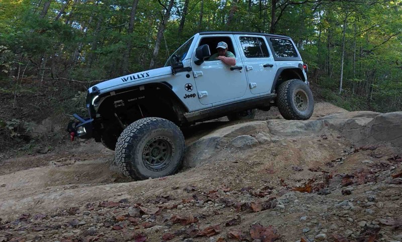
Cool trail but I think it has deteriorated some since the trails off road review. Water was low so the creek crossings were almost non existent. Still an enjoyable and scenic ride.
K
Kevin
Rated 5/5
Open
Visited: 09/17/2025
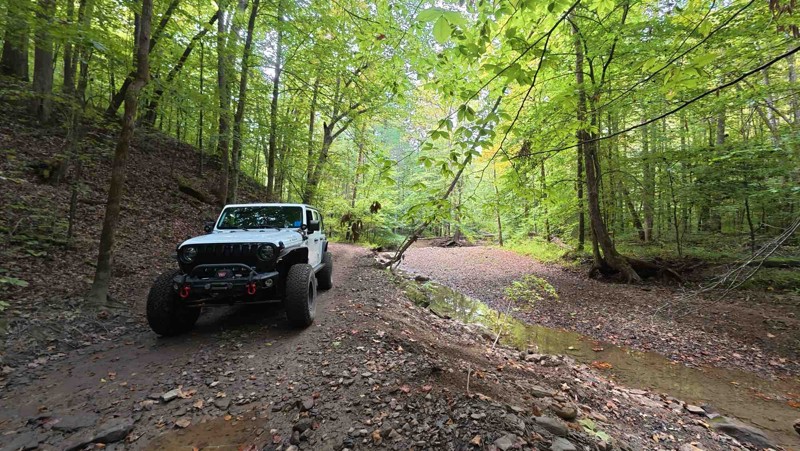
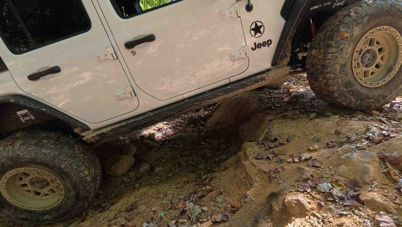
We did the trail in the same direction as the waypoints. Being newer to off-roading I was worried about waypoints 3 and 4 but this trail really helped with letting me know how capable my jeep is. Over...
K
Kevin
Rated 5/5
Open
Visited: 09/17/2025
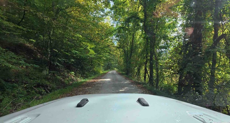
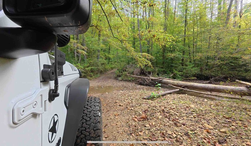
Fun trail. The water crossings seemed lower than what’s in the waypoint pictures. The mud wasn’t bad either. I was able to walk right up the ledge at waypoint 11. I’m sure this trail could be challe...
K
Kevin
No Rating
Open
Visited: 09/13/2025
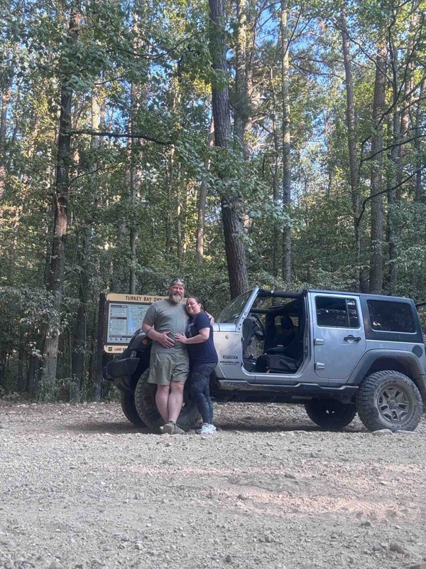
This was our first time to turkey bay oh and it didn’t disappoint. There were lots of dirt bikes and side by sides , but everyone was friendly and we had a great day on the trails.
RA
Rob Angley
Rated 1/5
Open
Visited: 09/06/2025
I was sad to see most of it was graded and most of the hard spots in this review were filled in.
It was still pretty and had some mud holes, But defiantly now a 2.

Wolf Overland
Rated 4/5
Open
Visited: 09/04/2025
We were starting at waypoint 4, and got confronted by an enthusiastic property owner. We were on the road at all times, but stopped to do a video at the water crossing. If you are quietly passing thro...

Rick
Rated 5/5
Open
Visited: 08/02/2025
Had a great time on this trail today. Easy to find, very scenic. Easy overall, but had some fun challenges. The portion in waypoint 5 had some washout ruts that you don’t want to slip into, even with ...
Chris Warner
Rated 5/5
Open
Visited: 08/01/2025
Great ride today! Drove it on a stock 2dr JL Rubicon with 33’s. Trail is easy to find, is easy to follow for the most part (in a few areas, it’s not immediately clear which fork to take, but it’s not ...
Chris Warner
Rated 5/5
Open
Visited: 07/04/2025
The bridge depicted is no longer intact, but there appears to be another way across next to it... I did not try to cross that as I was going down the other fork in the road there. The trail is still r...
MB
Michael Buemi
HY
Hunter Young
Rated 4/5
Open
Visited: 06/14/2025
Trail is mostly a beautiful scenic drive through Kentucky backwoods until you get to the end and the mud/ruts will either make it or break it for you. It rained the night before and looks like it was ...
JH
Justin Hill
Rated 4/5
Open
Visited: 06/07/2025
The trail changes drastically when it is dry vs wet. The rocky section going down is a lot of fun. But after the creek if it is wet, going up hill is a challenge. I’d suggest its rating is closer to a...
S
SJ.Overland
Rated 4/5
Open
Visited: 05/20/2025
I agree with the rating unless it has rained a lot like it did on us. If that’s the case then the hill near the end with the ruts I would give a three or four depending on rainfall
MJ
Mark Jamieson Jr
Rated 3/5
Partially Open
Visited: 05/19/2025
Nice updated camping site and good relaxing ride until we came to a downed tree
MJ
Mark Jamieson Jr
Most Popular

Updated: 10/15/2024
Miller Fork Road
Airedale, Kentucky
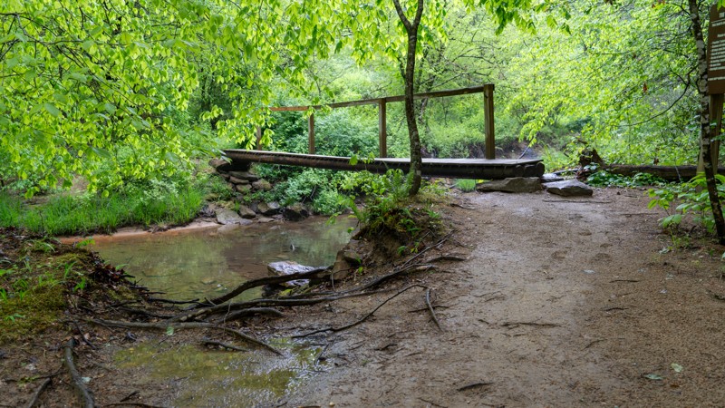
Miller Fork is an access road leading to the Miller Fork Recreational Preserve parking lot. Acquired in 2013 by the Red River Gorge Climber's Coalition, this 309-acre MFRP offers spectacular rock climbing with nearly 30 crags and over 500 routes. The road to the parking lot is a gentle drive along Hell's Creek, down a gravel road with occasional potholes and slight dips that can often be filled with several inches of water. Parking can be tight on busy weekends, so be sure to plan accordingly. There is one pull-off with a fire ring along the road, but the camping legality of that spot is unknown, as the road travels entirely through privately owned property. Thus, users should assume camping is not allowed.
Updated: 10/15/2024
Cold Hill
Buch, Kentucky
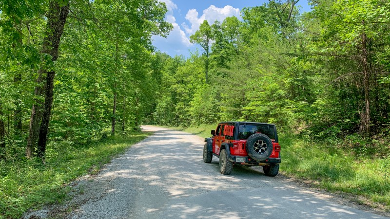
Cold Hill is a gravel-based through trail with no obstacles or notable points along its 1.9-mile length. This is an excellent trail to give you access to many others in the area. Camping was not observed anywhere along the trail.
Updated: 10/15/2024
Lick Branch
Buch, Kentucky
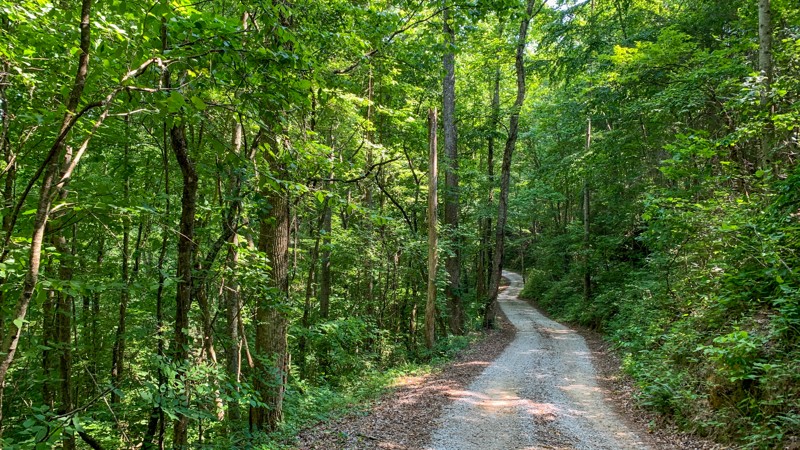
Lick Branch is a 2.5-mile long spur with minimal elevation gain. There are no obstacles along its maintained gravel surface, making it an excellent trail for beginners to stretch their legs in the Daniel Boone National Forest. There were no camping options spotted along this trail.
Updated: 10/28/2024
Leatherwood Fork
Nada, Kentucky
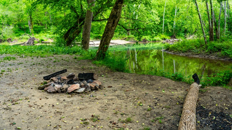
Leatherwood Fork is a dead-end spur road off Indian Creek Road that follows Indian Creek for less than a mile. The road surface is hard, compact gravel, and suitable for any vehicle. The creekside views along Leatherwood Fork are incredibly scenic, and the birds are constantly chirping in the area, giving it a very peaceful vibe.
There are several campsites along the road. All require leaving your vehicle on the road and hiking a short distance to the campsite. This is not a good road for camper trailers. The road ends abruptly with no good turnarounds. Thus, trailers would have to back up long distances.
Updated: 10/15/2024
Woodson Chapel Road
Cambridge Shores, Kentucky
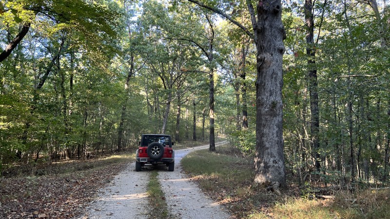
Ending at the Woodson Chapel Cemetery, the road travels mainly through a healthy forest with a solid tree canopy mostly of hardwoods. The forest is broken up by prairie areas, making the drive a little more interesting. There is no camping found along the route.
Updated: 10/15/2024
Black Mail Route
Wildwood Hills, Kentucky
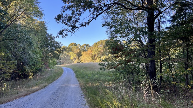
Black Mail Route is a mostly gravel road that generally travels north-south. The trail travels through forested areas and pops in and out of prairie areas. It is an uneventful road until you get to Fulton Creek, where the road can be washed out. Just around the creek crossing, you pass through Racetrack Hollow. One dispersed campsite can be found near the creek. High clearance is recommended for the washout area.
Updated: 10/15/2024
Clear Creek Furnace
Sudith, Kentucky
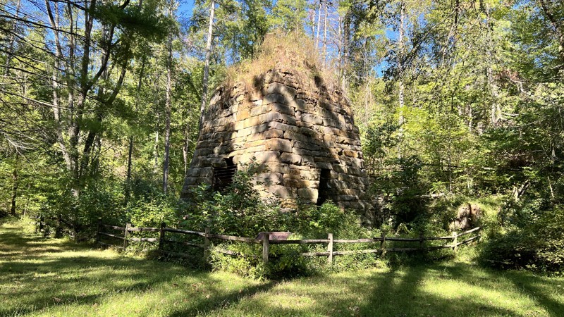
Typically, the little side roads that lead to picnic tables are not worth exploring. This one is a bit different since it has historical value. Known for its high output, the Clear Creek Furnace was built in 1839 by W. A. Lane and W. S. Allen. The furnace operated until its last blast in 1875. Production of iron at the location ceased from 1857 until 1873, when the furnace was rebuilt and renamed Bath Furnace. In 1874 alone, the reconstructed furnace produced more than 1,339 tons of iron. It still stands today and is one of the best preserved nineteenth-century Kentucky iron furnaces.
This is a day-use area only. Clear Creek Campground is only 2-minutes south.
Updated: 10/15/2024
Kuttawa Landing
Kuttawa, Kentucky
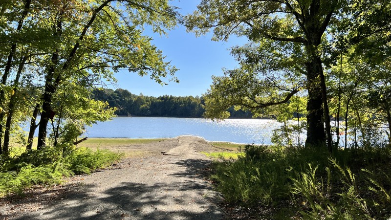
Kuttawa Landing includes two roads, 127 and 127B. Kuttawa Landing provides views and camping on Lake Barkley and Davenport Bay. Traveling down to Davenport Bay, the road will turn paved for a minute before reaching two spacious campsites in the shade and a boat launch. The camping on the north side had little shade, and the views were of civilization across the body of water.
Updated: 10/15/2024
Twin Lakes South
Cambridge Shores, Kentucky
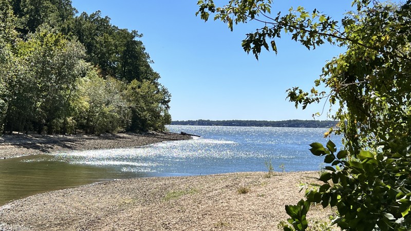
This gravel road will roll up and over hills through the forest and eventually ends at Kentucky Lake. There is space at the end of Twin Lakes South to disperse camp if you have the proper permit. .
Updated: 10/15/2024
Nickell Branch Road
Grand Rivers, Kentucky
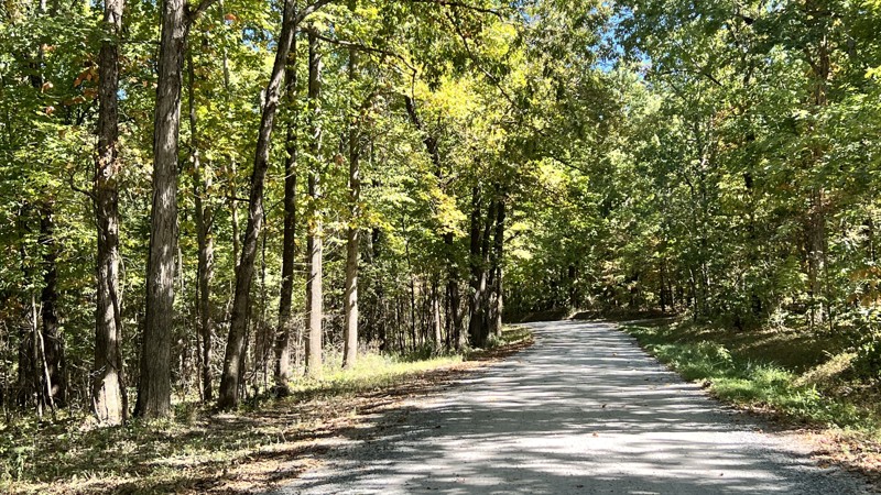
A simple gravel road leads to the Nickell Branch Campground with views of Lake Barkley and the dam. Site 4 is a good site with a bit of space between you and the other sites. Vault toilets and picnic tables only.
Updated: 10/15/2024
Pisgah Point Spur
Cambridge Shores, Kentucky
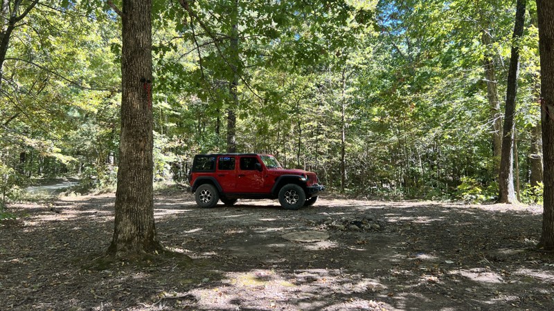
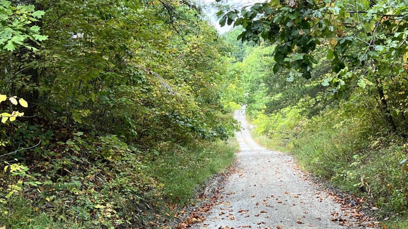
Pisgah Point is an easy gravel road that leads to Kentucky Lake. Along the way, it will pass under power lines and through a forest, passing a few secluded campsites before reaching the end at a cemetery, a sizeable dispersed camping area, and a vault toilet.
Updated: 10/15/2024
Freestone
Clearfield, Kentucky
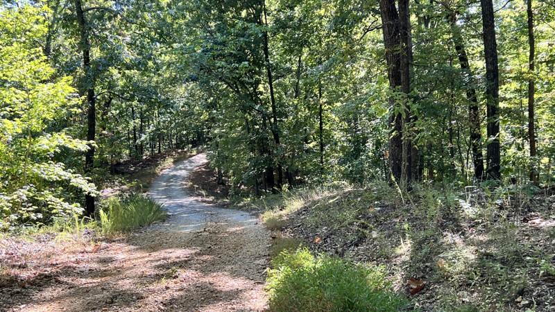
Freestone is an out-and-back gravel road leading to a parking area for the Limestone Knob and Limestone Biking trails. Rock formations start at the trailhead. However, the trail quickly turns into a winding road through hardwood forests. No camping opportunities.
Updated: 10/15/2024
Lady Cemetery
Kuttawa, Kentucky
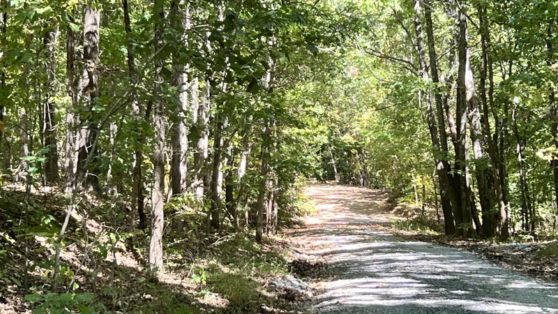
A gravel road that ends at the lake and a cemetery. Along the way, the road had a lovely tree canopy and rolls through hills. One very nice campsite exists 3/4 of the way up on a hill.
Updated: 10/15/2024
Benberry Cemetery
Grand Rivers, Kentucky
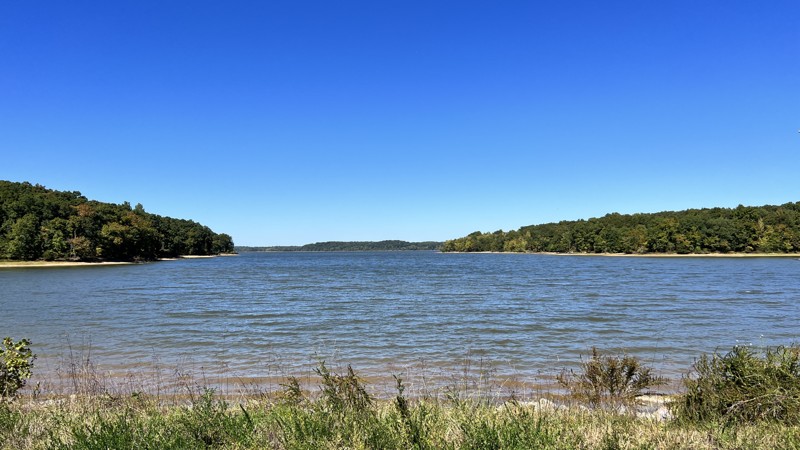
This gravel loop provides access down to the water after it passes by the Benberry Cemetery. The access roads are not on the MVUM and should be only walked, not driven. There are more than 270 known cemeteries in Land Between the Lakes. These cemeteries are remnants of the communities that existed before the creation of Lake Barkley and Kentucky Lake.
Updated: 10/15/2024
Willow Creek
Grand Rivers, Kentucky
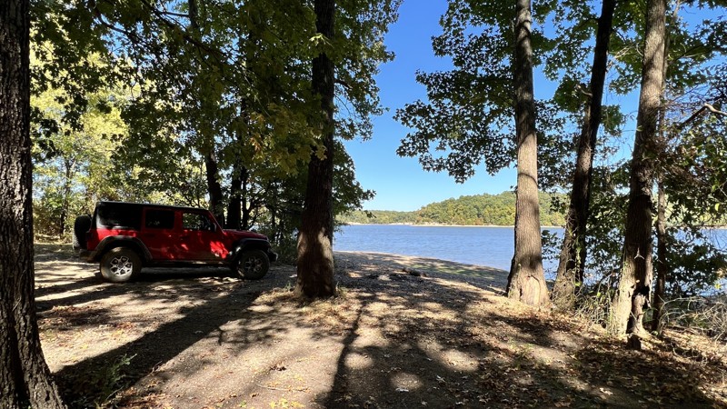
You get a fantastic view of Willow Bay on Lake Barkley from the north side. Moving south, you enter the woods, where there is evidence of blow-down from storms. No visible camping spots along the route.
Updated: 10/15/2024
Henderson Chapel
Kuttawa, Kentucky
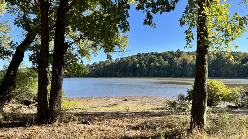
Henderson Chapel includes road numbers 121A, 121B, and 121C. It starts from Brandon Chapel Road and is immediately muddy and rutted. Commencing, it passes by the Henderson Chapel Cemetery before splitting off for offshoots B and C. Offshoot B, which heads east, gives you a view of Carnack Bay and camping, while offshoot C travels west and also has camping. Both offshoots include a bit of pavement on their steep declines to the water.
Updated: 10/15/2024
Crossroad Church Road
Kuttawa, Kentucky
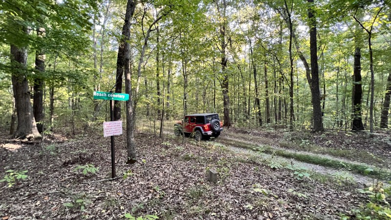
A gravel road starts where the Crossroads Church once stood. It leads to a beautiful campsite at Malloy Bay on Lake Beverly. The camp at the end is large enough for 2-3 vehicles and a matching number of small ground tents.
Updated: 10/15/2024
Green Branch
Confederate, Kentucky
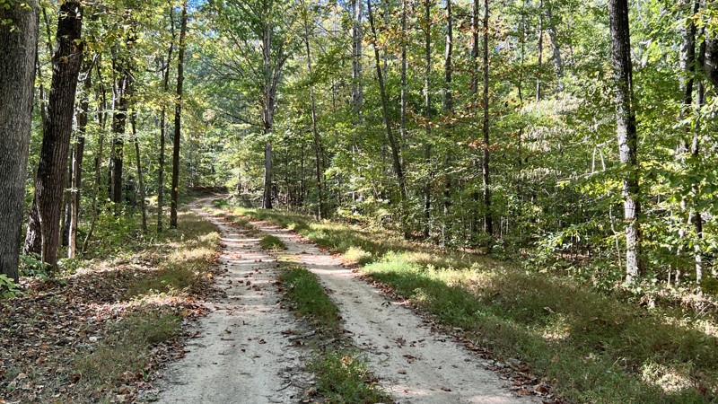
Green Branch is a two-track you can barely see from the main arterial road you would take to get to it. It's lightly used, and you will encounter hidden ruts and minor rocks to climb over. The MVUM shows it ending at the Roach Cemetery, but the road does keep going. This track ends to coincide with the MVUM. No camping was spotted, and there is no camping within the cemetery area. There are more than 270 known cemeteries in Land Between the Lakes. These cemeteries are remnants of the communities that existed before the creation of Lake Barkley and Kentucky Lake.
Updated: 10/15/2024
Wooldand Road
Rockcastle, Kentucky
Used when running other roads in the area to help create a more extended day on gravel and dirt, Woodland provides a pleasant drive through rolling hills through the woods and the prairies. It terminates in the west at a hiking trail.
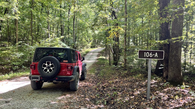
Updated: 10/15/2024
105/106 Connector
Cambridge Shores, Kentucky
This road connects Twin Lakes South to Lyon County Park Road. It is well-maintained and gravel that any vehicle can drive. Plenty of room for passing. No camping here, but at the end of Twin Lake South there is space for dispersed camping.
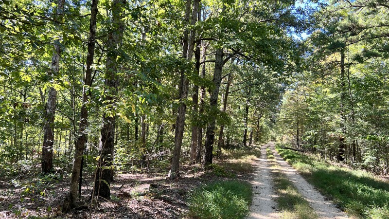
Updated: 10/15/2024
Tower Road
Rockcastle, Kentucky
Tower Road is listed as 310 on the MVUM. The map shows the road going much further. However, the signage in the field varies. This follows the field signage. The trail is an uneventful gravel two-track with views of the forest. No camping was found.
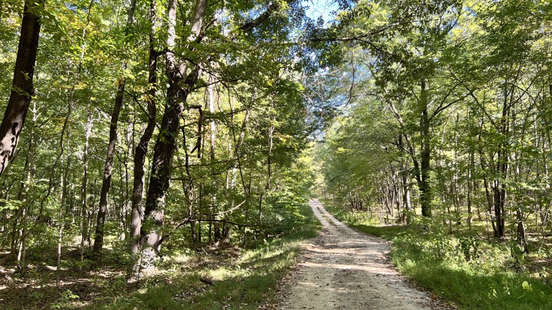
Updated: 10/15/2024
Cothran Road
Kuttawa, Kentucky
A gravel road through a healthy forest, with pine and Chinese Bushclover lining the road. Cothran Road leads to pavement on each end. Some spots may have puddles after rain. No pre-disturbed camping sites were found.

Upgrade your Membership
Unlock all of the details on every Trail Guide and Scout Route.
Start a 7-day Free TrialCommunity
Partners

