


By clicking "ACCEPT", you agree to be the terms and conditions of each policy linked to above. You also agree to the storing of cookies on your device to facilitate the operation and functionality of our site, enhance and customize your user experience, and to analyze how our site is used.
Kentucky Off-Road Trails
31
Total Trail Guides 25

298
Detailed Waypoints 39
Try a Free 7-Day Trial and unlock it all
Start a Free Trial Most Recent Trail Reviews
No Rating
Open
Visited: 08/11/2026
Per the MVUM, the trail is seasonally open. As always, check current fire restrictions/closures before venturing out.


Trails Offroad
Official Crew
No Rating
Open
Visited: 08/11/2026
Per the MVUM, the trail is seasonally open. As always, check current fire restrictions/closures before venturing out.
Trails Offroad
Official Crew

Todd
Official Crew
Rated 4/5
Open
Visited: 07/25/2026
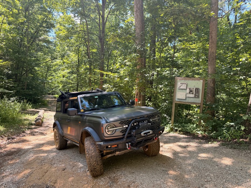
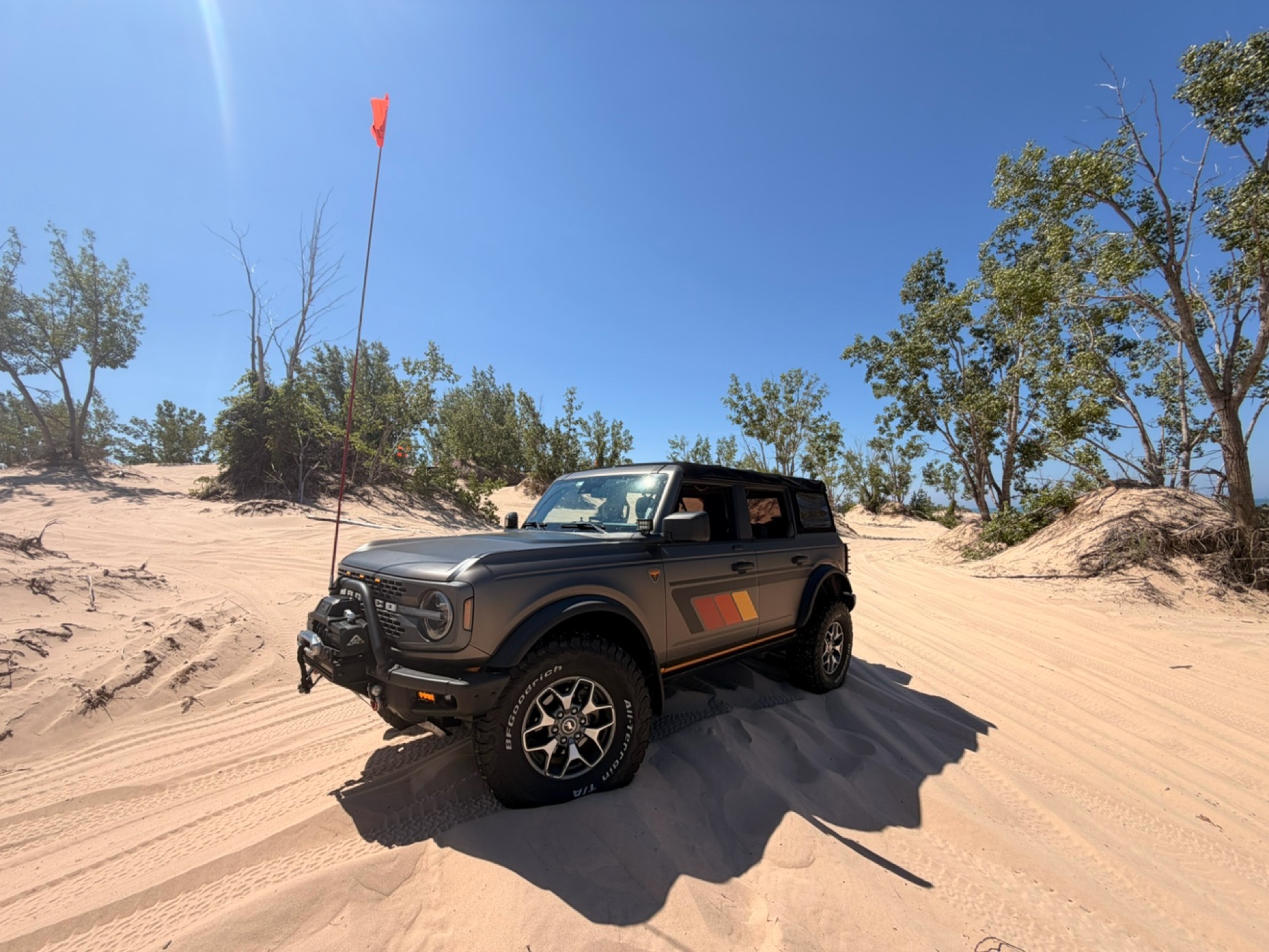
Waypoint 3-4 are no joke and at the top you gotta get the right line especially if it’s muddy like when we were there… if you’re running AT’s tires your tread gets slick real quick. My front locker sa...
Mark P
Rated 4/5
Open
Visited: 07/25/2026
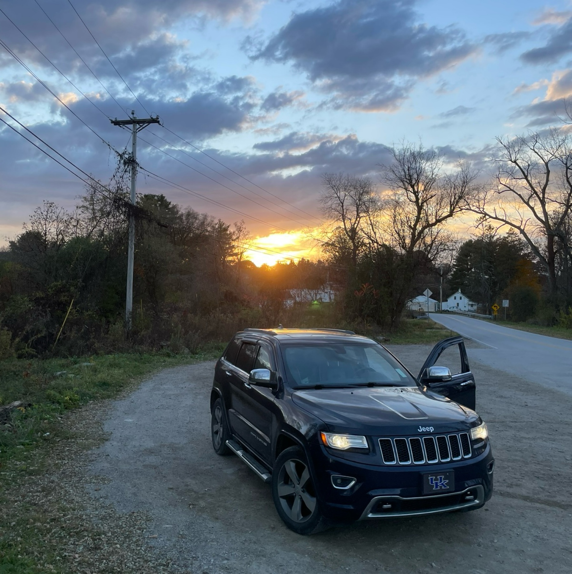
Definitely more challenging than it looks in the pictures due to a lot of recent rain causing some ruts and washouts. Big drops and exposed rocks to navigate around. I started the trail coming from Ca...
Robert Webb
Rated 5/5
Open
Visited: 07/23/2026
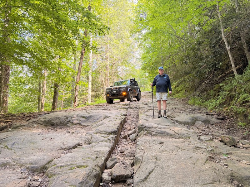
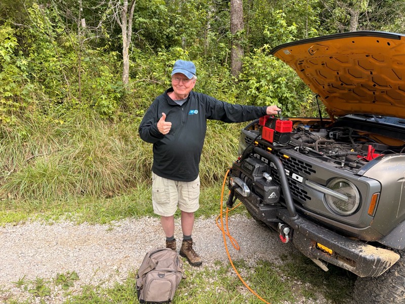
The best trail on Daniel Boone Backcountry Bwy!!! Challenging throughout the trail. The rocky decent at Waypoint 2 warms you up right and forces you to take your time to get the right line down the lo...
Mark P
Rated 5/5
Open
Visited: 07/23/2026
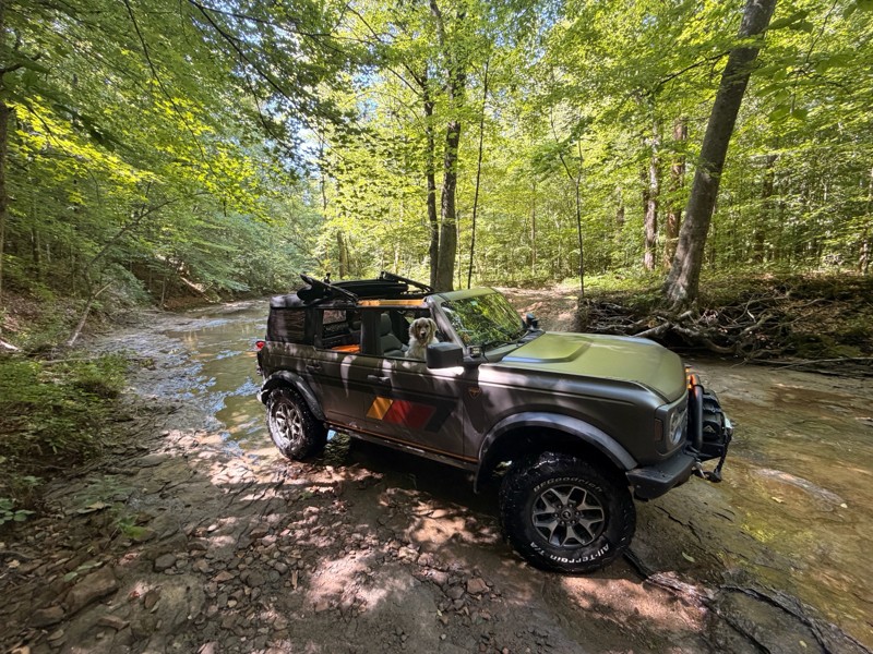
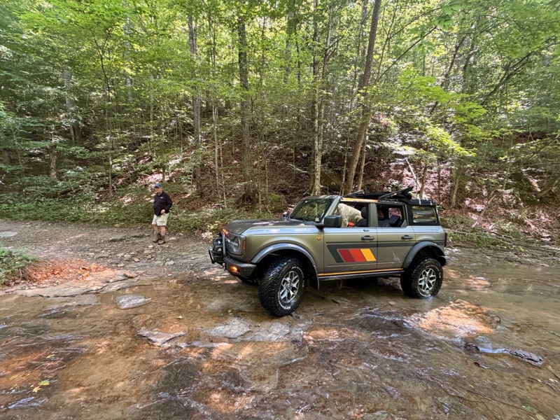
Great trail to run if you want something pretty straightforward following Spaas Creek. The most challenging portion of the trail is the mud area waypoint 9. I didn’t want to risk going directly into t...
Mark P
No Rating
Open
Visited: 07/23/2026
In a Stock 2026 Rubicon. We thought part of the trail was beyond "easy" due to ruts and needed the axel lock in one spot. Some overgrowth but we cut select bushes etc back for benefit of the next enth...
CS
Curtis Scholl
Rated 4/5
Open
Visited: 06/25/2026
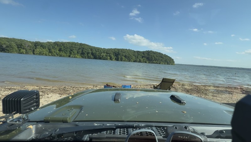
Mild to Moderate Jeep trails - some extreme grates (28+) but almost always for sbs’ or bikes. Most Jeep or 4x4 accessible trails are 2-4 with very few 5-6. Decent to fair mudholes. Overall it seem...
EP
Eric Parsons
Rated 5/5
Open
Visited: 06/13/2026
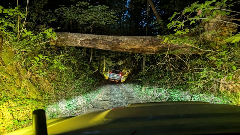
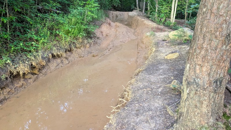
Great trail, I would say rating is close depending experience level. Not a place I would go alone or without a winch, but there was only one spot I truly needed to use my winch which was on top of th...
SP
Stephen Preckler
No Rating
Open
Visited: 05/30/2026
trail was open and water level was not too bad, the culvert about halfway through the trail is getting cut up pretty good the end of the trail is now graded so the severe off camber ruts are now gone
GM
Gary McCartney
No Rating
Open
Visited: 05/28/2026
I bumped the rating up to a 4 based on quality member feedback.
Todd
Official Crew
Rated 5/5
Open
Visited: 05/25/2026
I do agree running it backwards is a more adventurous way to go. The ruts on the eastern side when you start back down, are getting pretty deep. Some of the holes are 18-24" deep from what I could tel...
EG
Eric Gebauer
Rated 5/5
Open
Visited: 05/25/2026
I ran this after it had rained quite a bit for a couple days and the morning I ran it. It was a fun trail but definitely harder than expected. There were some nice rock edges to climb over and the rut...
EG
Eric Gebauer
Rated 4/5
Open
Visited: 05/23/2026
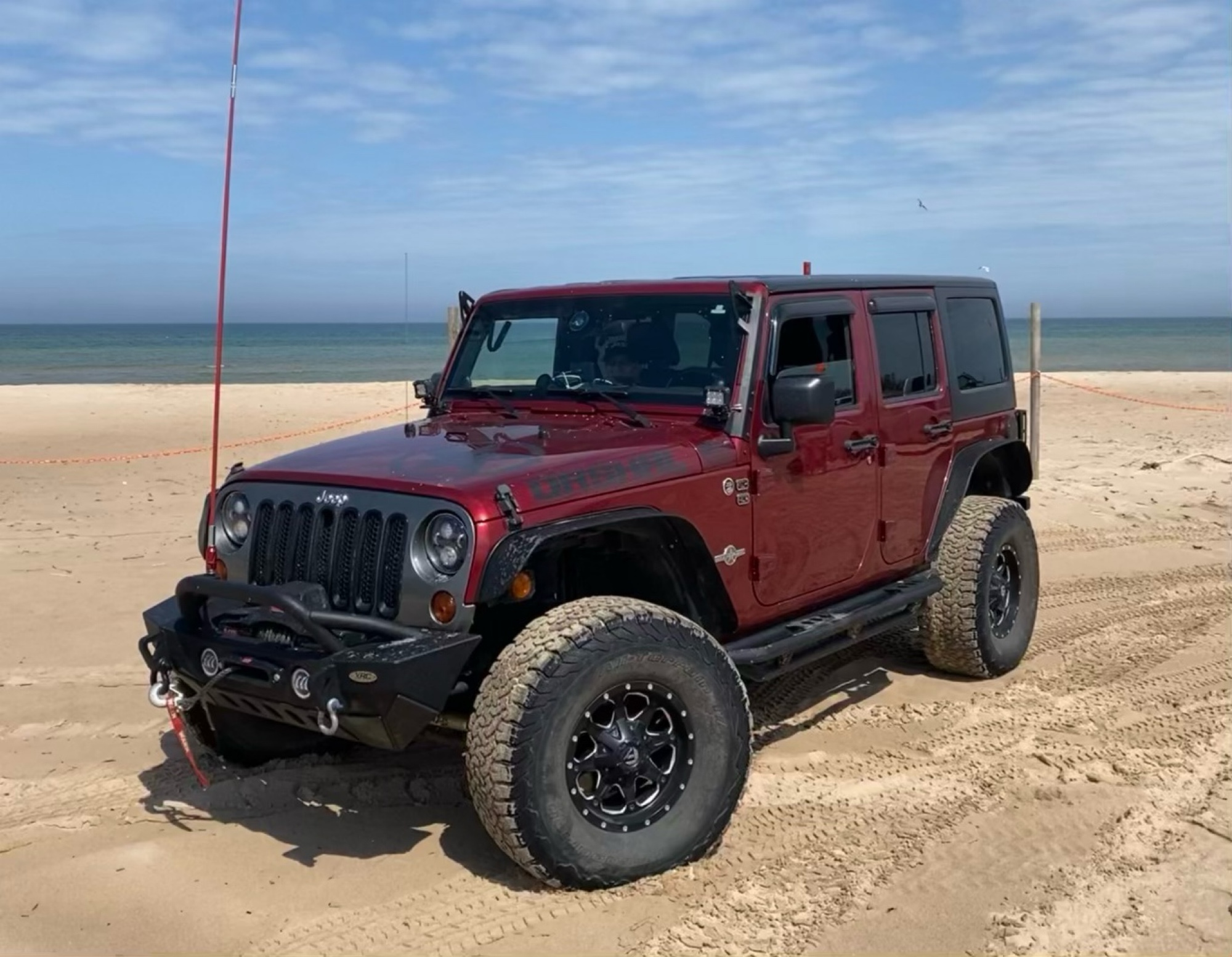
Nice trail. Stock friendly. The creek crossing is long, but there is a hard bottom and it crosses fine.
Jason McBride
Rated 5/5
Open
Visited: 05/23/2026
This was a nice trail. It was a little harder than suggested. Somewhere between waypoint 4 and 5, there are some deep holes and ruts that are hard to see when you’re coming up to them. There is still ...
Jason McBride
Jason McBride
Rated 5/5
Open
Visited: 05/23/2026
This is a great trail. We ran this trail after several days of rain. It is definitely harder than a 5. And harder than Pumpkin Hallow. Waypoint 2 has become much more aggressive with the erosion of t...
Jason McBride
Rated 5/5
Open
Visited: 05/23/2026
Beautiful. Easy. Loved the long water crossings. All of the water holes and water crossings have hard bottoms. It rained for three days prior, plenty of water. Never more than 18” deep.
Jason McBride
No Rating
Open
Visited: 05/23/2026
Beautiful and Easy. I nice breather between other trails.
Jason McBride
No Rating
Open
Visited: 05/23/2026
We traveled after it had rained for several days. Today was a little lighter on the rain but it was still in the area. Important! There is a significant mandatory obstacle shortly after waypoint 2. ...
Jason McBride
Rated 5/5
Open
Visited: 05/22/2026
Ran this trail after many days of rain. It was a little harder than I expected. There was a significant uphill (for a level 2 trail) that was washed out and slippery. Required 4wd to continue past a s...
Jason McBride
No Rating
Open
Visited: 05/22/2026
We ran Pumpkin Hallow after three days of rain and it was still moderately raining. The guide is accurate. We were able to get up the shell/ledge without too much difficulty, but you have to pick the ...
Jason McBride
Rated 5/5
Open
Visited: 05/22/2026
We ran Spaas Creek after it had rained for three days and it was still moderately raining. The creek was moving fast. All of the crossings and water holes were solid bottoms, even in the fast water. T...
Jason McBride
Rated 4/5
Open
Visited: 04/15/2026
This trail ran straight past my campsite. Enjoyed this ride as well, although I'd give it a lower rating to be honest.
Peter Dougherty
Rated 4/5
Open
Visited: 04/15/2026
This was a far more interesting ride than the main loop trail. Trail B is an out-and-back but really a lot of fun with no risks whatsoever.
Peter Dougherty
Rated 3/5
Open
Visited: 04/15/2026
I think giving a 3-rating to any of the main loop trails is generous. A two at best. The only "difficult" bits are the descent on the west end of the loop (waypoints 3,5,7,9 area). I was joking with f...
Peter Dougherty
Rated 4/5
Open
Visited: 03/21/2026
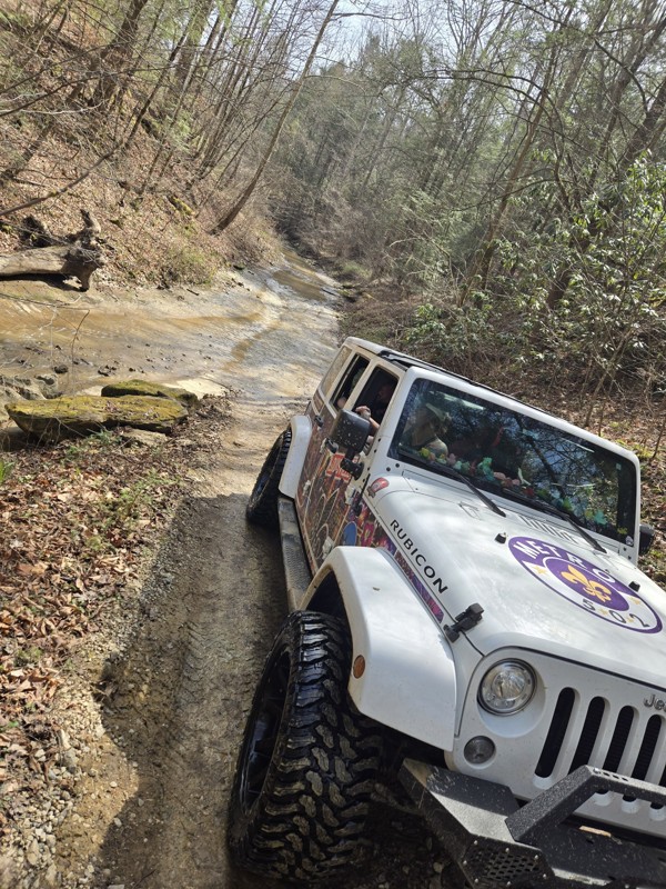
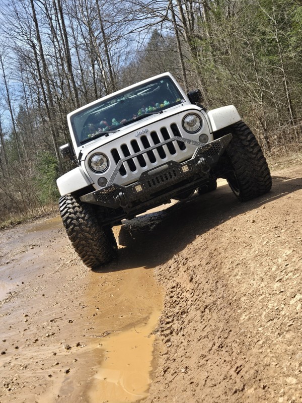
First annual girls trip, and this was the first trail we hit in my wrangler. The mud holes were full and fun. The creek was a ft or less so that was nice to drive through. We loved every second of it...
VALERIE VOGEDES
No Rating
Seasonal Closure
Visited: 12/15/2025
According to this trails management agency, the trail is likely closed for the season.
You can reach out to the agency for more details.
Be sure to leave us a report and let us know ...
Trails Offroad
Official Crew
No Rating
Seasonal Closure
Visited: 12/15/2025
According to this trails management agency, the trail is likely closed for the season.
You can reach out to the agency for more details.
Be sure to leave us a report and let us know ...
Trails Offroad
Official Crew
Rated 5/5
Open
Visited: 11/28/2025
fun trail. shorter than I expected. hardest part is the rock ledge and climb near the beginning of the trail
CH
Chris Hobbs
Rated 5/5
Open
Visited: 11/28/2025
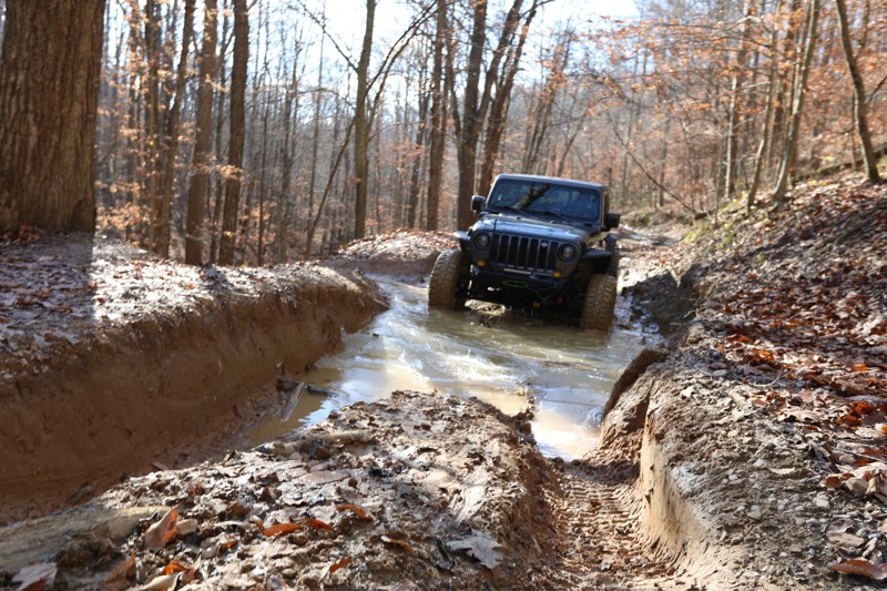
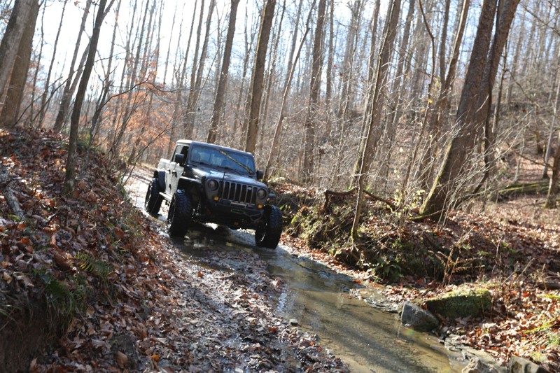
great trail. most of the mud holes look worse than they really are. there are a few spots with some erosion that could get you in trouble, but be smart and pick a line that works for your vehicle. th...
CH
Chris Hobbs
Rated 5/5
Open
Visited: 11/08/2025
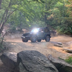
Ran this after Fixer Rd, so reverse of this guide. I’d agree that it seemed harder now with some deeper ruts, and especially at the area of the “bridge”; said bridge was non-functional, and trying to ...
Chris Warner
Rated 4/5
Open
Visited: 11/08/2025
Decent trail, especially during the fall. No major obstacles, very stock-friendly. Great for beginners.
Chris Warner
Rated 4/5
Open
Visited: 09/19/2025
Not much going on with this trail. A good connector to Bald Rock Fork from Fixer-Leeco
K
Kevin
Rated 5/5
Open
Visited: 09/19/2025
Easy relaxing trail. Creek crossings were almost dry.
K
Kevin
Rated 5/5
Open
Visited: 09/19/2025
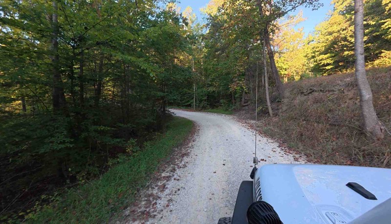
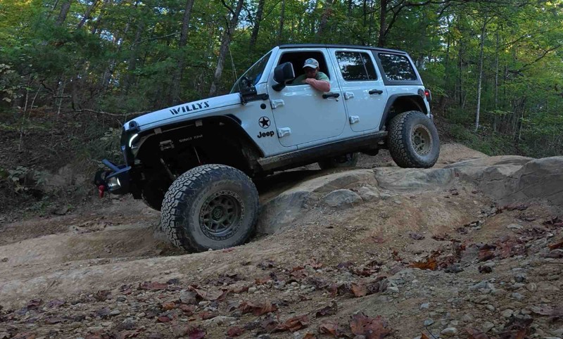
Cool trail but I think it has deteriorated some since the trails off road review. Water was low so the creek crossings were almost non existent. Still an enjoyable and scenic ride.
K
Kevin
Rated 5/5
Open
Visited: 09/17/2025
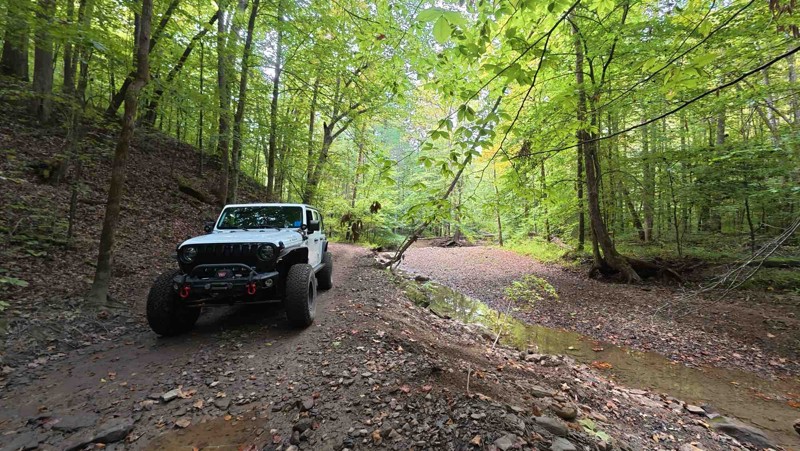
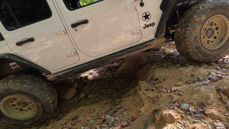
We did the trail in the same direction as the waypoints. Being newer to off-roading I was worried about waypoints 3 and 4 but this trail really helped with letting me know how capable my jeep is. Over...
K
Kevin
Rated 5/5
Open
Visited: 09/17/2025
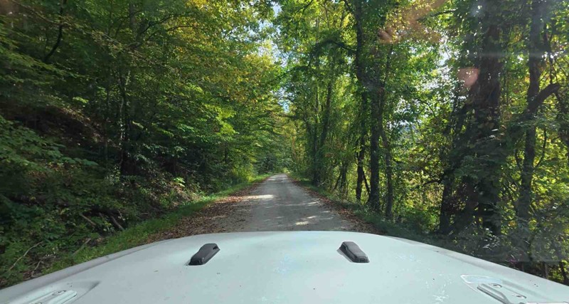
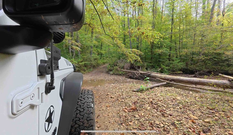
Fun trail. The water crossings seemed lower than what’s in the waypoint pictures. The mud wasn’t bad either. I was able to walk right up the ledge at waypoint 11. I’m sure this trail could be challe...
K
Kevin
No Rating
Open
Visited: 09/13/2025
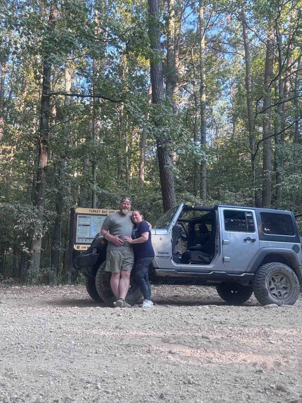
This was our first time to turkey bay oh and it didn’t disappoint. There were lots of dirt bikes and side by sides , but everyone was friendly and we had a great day on the trails.
RA
Rob Angley
Rated 1/5
Open
Visited: 09/06/2025
I was sad to see most of it was graded and most of the hard spots in this review were filled in.
It was still pretty and had some mud holes, But defiantly now a 2.

Wolf Overland
Rated 4/5
Open
Visited: 09/04/2025
We were starting at waypoint 4, and got confronted by an enthusiastic property owner. We were on the road at all times, but stopped to do a video at the water crossing. If you are quietly passing thro...

Rick
Rated 5/5
Open
Visited: 08/02/2025
Had a great time on this trail today. Easy to find, very scenic. Easy overall, but had some fun challenges. The portion in waypoint 5 had some washout ruts that you don’t want to slip into, even with ...
Chris Warner
Rated 5/5
Open
Visited: 08/01/2025
Great ride today! Drove it on a stock 2dr JL Rubicon with 33’s. Trail is easy to find, is easy to follow for the most part (in a few areas, it’s not immediately clear which fork to take, but it’s not ...
Chris Warner
Rated 5/5
Open
Visited: 07/04/2025
The bridge depicted is no longer intact, but there appears to be another way across next to it... I did not try to cross that as I was going down the other fork in the road there. The trail is still r...
MB
Michael Buemi
HY
Hunter Young
Rated 4/5
Open
Visited: 06/14/2025
Trail is mostly a beautiful scenic drive through Kentucky backwoods until you get to the end and the mud/ruts will either make it or break it for you. It rained the night before and looks like it was ...
JH
Justin Hill
Rated 4/5
Open
Visited: 06/07/2025
The trail changes drastically when it is dry vs wet. The rocky section going down is a lot of fun. But after the creek if it is wet, going up hill is a challenge. I’d suggest its rating is closer to a...
S
SJ.Overland
Rated 4/5
Open
Visited: 05/20/2025
I agree with the rating unless it has rained a lot like it did on us. If that’s the case then the hill near the end with the ruts I would give a three or four depending on rainfall
MJ
Mark Jamieson Jr
Rated 3/5
Partially Open
Visited: 05/19/2025
Nice updated camping site and good relaxing ride until we came to a downed tree
MJ
Mark Jamieson Jr
Most Popular

Updated: 07/12/2023
Hell Creek Road
Beattyville, Kentucky
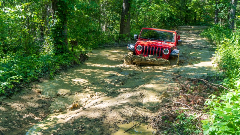
Towering above you, sheer cliff walls are lined at the bottom with laurels that run alongside the road as you descend into the hollow that Hell Creek trickles across. While short and quick, this scenic and gentle road is a no-brainer to add to your list of roads you want to drive the DBBB. It is the perfect add-on when tackling the infamous Old Fincastle Road.
Updated: 06/14/2023
Barnes Buck
Irvine, Kentucky
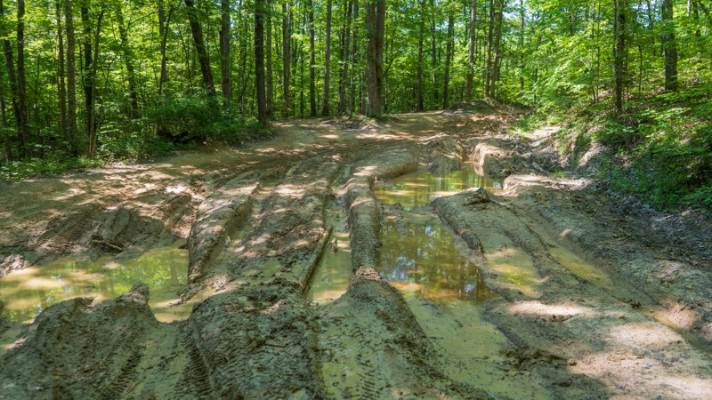
Barnes Buck Road in the Daniel Boone National Forest is an exhilarating offroad destination that promises adrenaline-fueled fun for adventurous enthusiasts. This rugged trail showcases the perfect blend of natural beauty and thrilling challenges. One of the notable features that set Barnes Buck apart is its numerous mud pits, which test the mettle of both drivers and their vehicles. As you navigate through this offroad playground, you'll encounter multiple obstacles and mud-bogging opportunities. The picturesque surroundings of the forest, with its towering trees, only add to the excitement and make Barnes Buck Road an unforgettable experience. If you're seeking a thrilling offroad adventure complete with mud-slinging action, Barnes Buck Road is a must-visit destination.
Updated: 02/19/2024
Rader Ridge Road
Beattyville, Kentucky
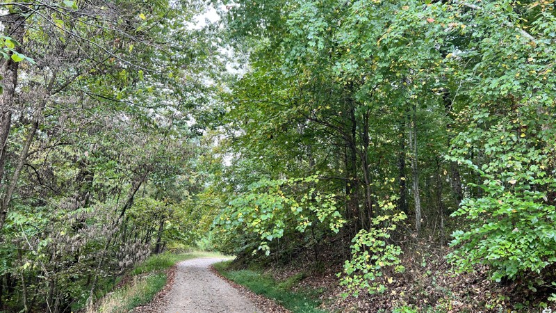
The muddy Rader Ridge Road on the Daniel Boone Backcountry Byway is an exhilarating and challenging offroad experience that will test the skills of even the most seasoned adventurers. Located within the rugged beauty of the Daniel Boone National Forest, this road is known for its treacherous conditions, particularly during wet weather. As drivers maneuver through the deep mud and slippery terrain, they face thrilling obstacles that demand expert navigation and a capable vehicle. If you're seeking an adrenaline-fueled offroad adventure, tackling the muddy Rader Ridge Road on the Daniel Boone Backcountry Byway is an unforgettable experience that will leave you in awe of the raw beauty of nature.

Updated: 08/11/2026
Big Perry Morehead
Haldeman, Kentucky
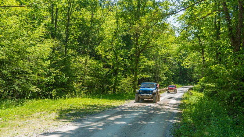
Big Perry is a gravel road leading to hiking trailheads in the Sheltowee Trace National Recreation Area. The trail follows along a ridgeline for almost its entire distance, where you can see ground sloping downwards on either side of you. While leaves are on the trees, it provides zero views. At about midpoint, it passes under high voltage power lines. Observed one pre-disturbed campsite and no other suitable locations.
Updated: 02/19/2024
Turkey Foot
McKee, Kentucky
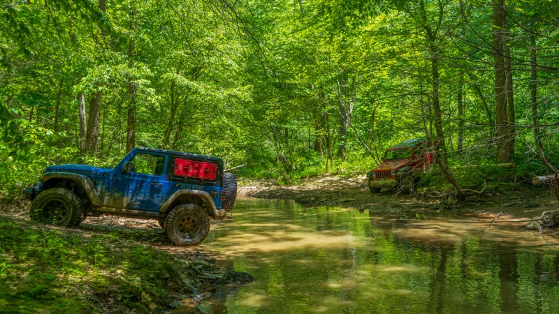
Turkey Foot is a true gem for nature enthusiasts and outdoor adventurers alike. Located in the rugged mountains of eastern Kentucky, this pristine region boasts breathtaking landscapes, dense forests, and sparkling waterways that beckon visitors to explore. The trail meanders calmly through rich biodiversity and abundant wildlife. Turkey Foot is a haven for nature lovers, offering a unique opportunity to connect with the natural wonders of the Daniel Boone National Forest.
Updated: 02/19/2024
Herdes Springs
McKee, Kentucky
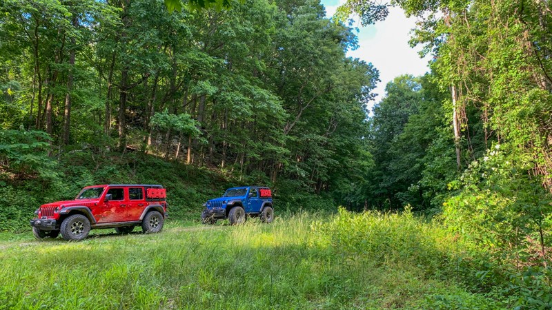
The Herdes Springs 4x4 Trail on the Daniel Boone Backcountry Byway is a thrilling adventure for offroad enthusiasts. Located amidst the rugged beauty of Kentucky's wilderness, this trail offers a challenging and exhilarating experience for those passionate about four-wheeling. Drivers navigating the trail encounter obstacles, including steep inclines and declines, rocky terrain, and muddy sections, testing their driving skills and vehicle capabilities. Towering trees surround the trail as you wind down to Herdes Creek. For those seeking an adrenaline-pumping offroad adventure in the heart of nature, the Herdes Springs 4x4 trail is an absolute must-visit.
Updated: 10/15/2024
Wolf Knob
Ayers, Kentucky
Climbing 700 feet through the Daniel Boone National Forest, Wolf Knob is an easy route of maintained gravel that dead ends at almost 1,800 feet. A few dispersed campsites are among the lush Kentucky vegetation, with the prime campsite right underneath a seemingly out-of-place patch of rocks. If peace and quiet are what you are after, this trail might just fit the bill.

Updated: 07/12/2023
Brushy
Korea, Kentucky
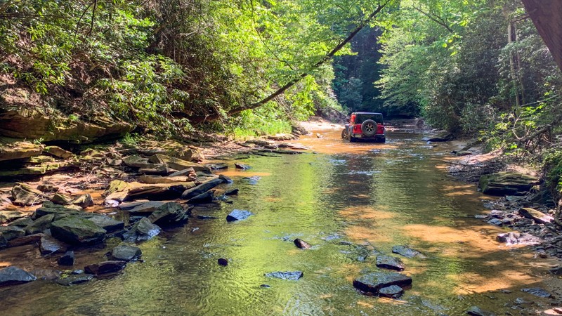
The sticky mud and a long descent into the hollow will brighten your eyes and widen your smile. Brushy 1085, part of the Daniel Boone Backcountry Byway, starts 4.5 miles of actual offroad trail when you combine it with its neighbor, Brushy Fork North Road. The forest envelopes you with direct sunshine, quickly losing its shine as you drop into the hollow. As you continue this short trail, photo opportunities unveil themselves to you and your wheeling mates. After completing this trail, photos of water crossings, a calming unnamed tributary, and flexy obstacles will surely be in your collection.
Updated: 10/15/2024
Rooks Branch
Buch, Kentucky
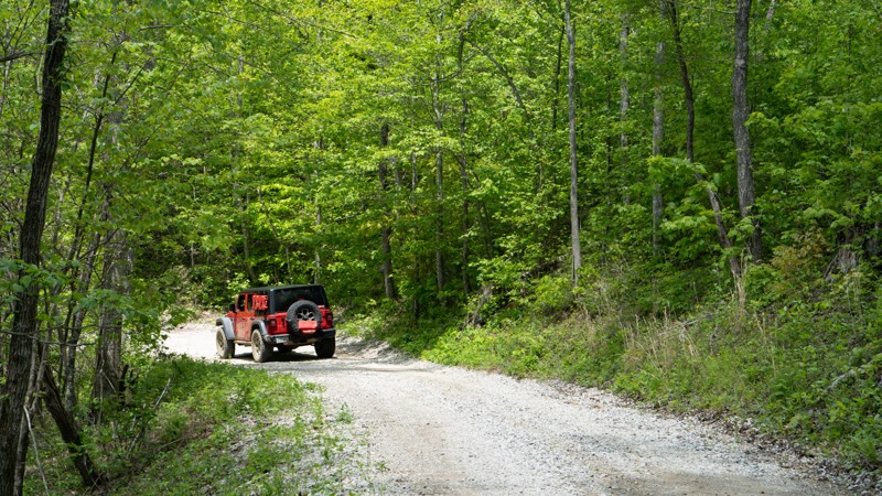
Rooks Branch is a relatively flat trail winding through the Daniel Boone National Forest. There were no obstacles along its 2.8-mile length. However, you get to cross a little creek with a firm but rocky bottom. Unfortunately, there were no suitable camping locations to be seen.
Updated: 07/12/2023
Patrick Cemetery Road
Frenchburg, Kentucky
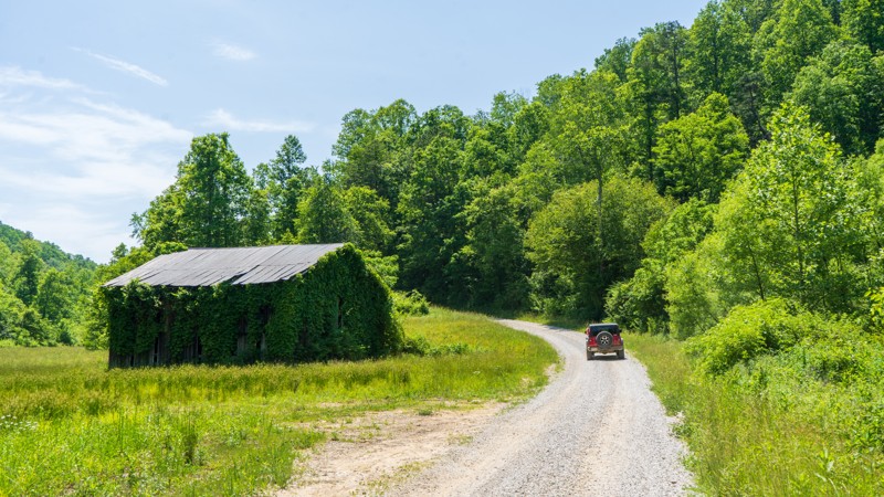
Patrick Cemetery Road is a necessary evil when driving the Daniel Boone Backcountry Byway. It is not very exciting compared to other roads along the DBBB, but it's not pavement either. Drive this road for one reason - to say that you completed every road on the DBBB!
Updated: 10/15/2024
Sand Lick
Foxtown, Kentucky
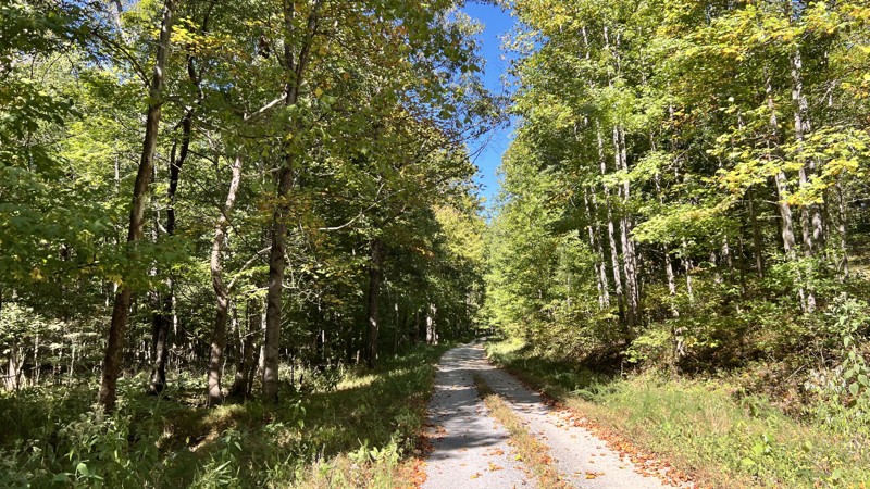
Sand Lick is a maintained gravel road taking you from the town of Foxtow toward Highway 421 just north of Kckee. There are no obstacles along its 4-mile length, making it great for anyone looking to get out and spend time in nature. No camping was observed along the trail.
Updated: 10/15/2024
Brandon Chapel Road
Cambridge Shores, Kentucky
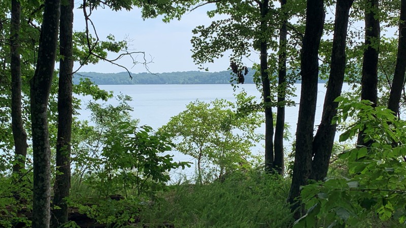
Brandon Chapel starts as a powdery limestone gravel road. It is so fine that the vegetation and trees on the side of the road are covered in light grey limestone dust. After passing a cemetery, this limestone gives way to an active logging area. After the logging area, the road turns scenic and rustic and is lined with Chinese Bushclover. Towards its east end, the road shows signs of erosion. No pre-disturbed camping sites were found, but there are open prairie areas where one could camp if needed.
Updated: 10/21/2024
Bacon Creek Road
Golden Pond, Kentucky
Bacon Creek Road, within Land Between the Lakes, leads to a hiking trail that offers a great view of and access to Lake Barkley. However, this road is subject to closure during heavy storms. The park encourages visitors to review the official Land Between the Lakes Alerts prior to visiting for temporary trail and road closures. Campers can camp in just about any area within the park. But please familiarize yourself with LBL's camping costs and policies. There is no cost to drive this trail. Camping Permits are $20 for those over 18. Anyone under 18 does not need a permit.
Land Between the Lakes is a 40-mile long peninsula that offers hiking and horse trails, 300 miles of undeveloped shoreline, mountain biking, 400+ miles of scenic roads, and numerous campsites. If you're one of the 1.5 million people who visit Land Between the Lakes every year, make Bacon Creek Road a part of your day.
Updated: 10/15/2024
Old River Road
Linton, Kentucky
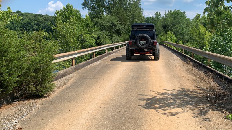
Old River Road stretches over 5 miles through the middle portion of Land Between the Lakes. A few rough and muddy spots along the trail can be navigated with a stock vehicle with good ground clearance. Also, Old River Road intersects with eight other trails.
A portion of this trail crosses over Pryor Bay and provides a great view of the bay and a good place to drop a line and catch your dinner.
Campers can camp in just about any area within the park. But, please familiarize yourself with Land Between the Lakes’s camping costs and policies. Camping permits are $20 for those over 18. Anyone under 18 does not need a permit.
Land Between the Lakes is a 40-mile long peninsula that offers hiking trails, horse trails, 300 miles of undeveloped shoreline, mountain biking, 400+ miles of scenic roads, and 1400 campsites. Make Old River Road a part of your day if you’re one of the 1.5 million people who visit LBL every year.
Updated: 10/15/2024
Dog Divide
Buch, Kentucky
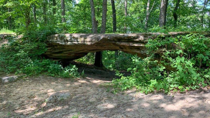
Dog Divide is a 5.3-mile long trail winding through the Daniel Boone National Forest in southern Kentucky. It is well-maintained gravel with nothing in the way of obstacles. A rock arch greets you alongside the trail with a small pullout to stop and enjoy this rare, unique feature. No camping was observed along this trail.
Updated: 10/15/2024
Sulphur Branch
Salt Lick, Kentucky
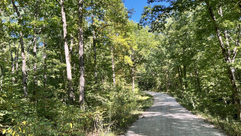
Sulphur Branch leaves pavement and gains elevation before branching off to an equestrian camp. The gpx track included the spur to the White Sulphur Horse Camp. The trail continues to a parking lot for the 124 ATV and Motorcycle Trail. There are good views of the surrounding hills from the equestrian camp. The only camping is at the equestrian campground.
Updated: 10/15/2024
Ford Bay Road
Golden Pond, Kentucky
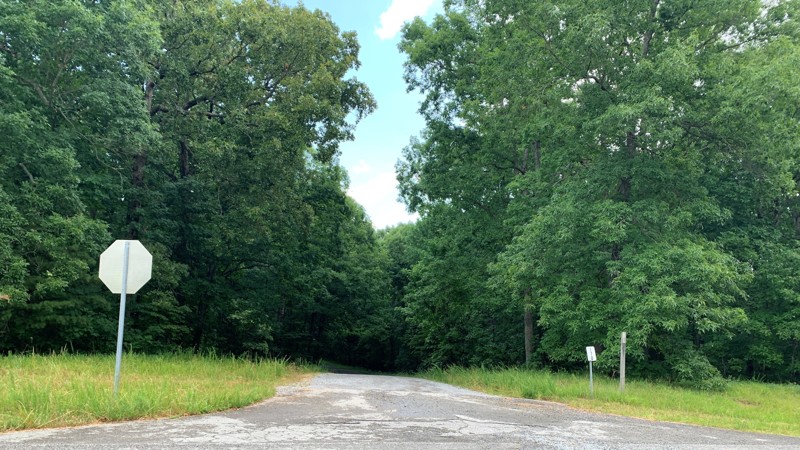
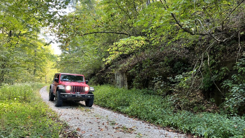
Ford Bay Road is located in the Kentucky portion of Land Between the Lakes (LBL). This trail is accessible from the main trail, Woodland Trace 100, which runs the entire length of LBL. Ford Bay Road trail features a combination of gravel, dirt, and mud surrounded by thick vegetation, and shade.
Campers have the opportunity to camp in just about any area within the park. But, please familiarize yourself with LBL’s camping costs and policies. There is no cost to drive this trail. Camping Permits are $20 for those over 18.
Those under 18 do not need a permit.
LBL is a 40-mile long peninsula that offers hiking and horse trails, 300 miles of undeveloped shoreline, mountain biking trails, 400+ miles of scenic roads, and over 1400 campsites. If you’re one of the 1.5 million people who visit LBL every year, make this trail a part of your visit.
Updated: 10/15/2024
Old Tator Knob
Sudith, Kentucky
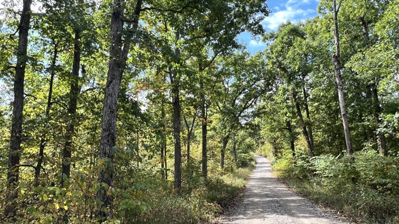
Old Tator Knob travels through the Pioneer Weapons Wildlife Management Area. The area is designated for hunting with the same tools and methods as early pioneers and Native Americans. Hunters must use "primitive weapons," like muzzle-loading firearms, bows, or crossbows when hunting. From the start, you will quickly descend towards Buck Creek, driving through hardwoods, where a great dispersed campsite exists, then climb back up toward the higher elevation before finding another camp hidden off the road.
Updated: 10/15/2024
Lockege
Clearfield, Kentucky
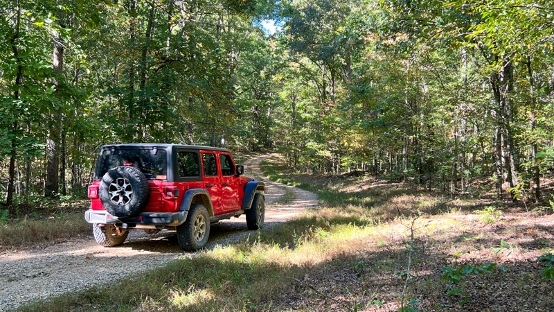
Lockege is technically listed on the MVUM as a through-road, but it has been blocked by a landslide halfway through since September 2019. The western end is signed as closed, while the eastern end is not. You can still take the road to McKinsey Ridge, a hiking trail. Otherwise, it is a beautiful drive through an oak and hickory forest with a tiny patch of rocks exposed from underneath the forest floor. No camping opportunities at all.
Updated: 10/15/2024
Racetrack Hollow
Rockcastle, Kentucky
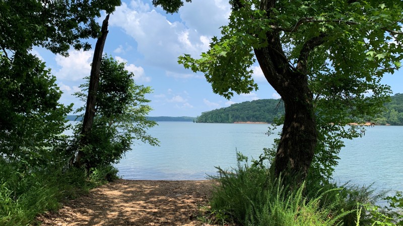
Racetrack Hollow is a gravel and hard-packed dirt road that leads to Curry and Racetrack Hollow. As you descend into the hollows, Chinese Bushclover lines the road with green. Oaks tower above you. Just before it joins Black Mail Route Road, the trail crosses Fulton Creek, where the road has been washed out due to storms. Possibly this section changes after any heavy rain event. 4WD is highly recommended to get over the creek and washouts. A good dispersed campsite is located just as you turn south on Black Mail Route.
Updated: 10/15/2024
Eagle Point Road
Fenton, Kentucky
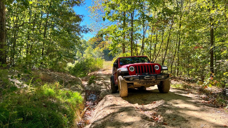
Eagle Point Road is located in the Kentucky portion of Land Between the Lakes (LBL). It is accessible off the main trail, Woodland Trace 100, which runs the entire length of LBL. Eagle Point Road is well maintained, except for a few ruts towards the end. Also, at the end is a view of The Tennessee River.
Campers can camp in just about any area within the park. There are campsites along this trail. Before making plans, familiarize yourself with LBL’s camping costs and policies. Camping Permits are $20 for those over 18. Those under 18 do not need a permit.
LBL is a 40-mile long peninsula that offers hiking and horse trails, 300 miles of undeveloped shoreline, mountain biking trails, 400+ miles of scenic roads, and over 1400 campsites. If you’re one of the 1.5 million people who visit LBL every year, make this trail a part of your visit.
Updated: 10/15/2024
Dodd's Ridge Road
Cambridge Shores, Kentucky
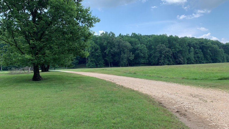
Dodd's Ridge Road provides a good adventure in an area with mostly gravel roads. This one is rutted, muddy, and less used than most. The ruts are so deep that you can see evidence of years worth of bypasses created to avoid them. When wet, it would be best to travel in a group and have recovery gear. There was one remote, dispersed campsite well hidden off the main road at the beginning of the trail at the western end.
Updated: 10/15/2024
Colson Hollow Road
Fenton, Kentucky
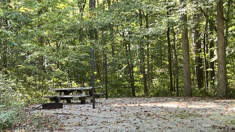
Colson Hollow Road is located in the Kentucky portion of Land Between the Lakes (LBL). It is accessible off of the main trail, Woodland Trace 100, which runs the entire length of LBL. At the end of Colson Hollow Road is a large camping area with several picnic tables, a restroom facility, and access to The Tennessee River.
Campers have the opportunity to camp in just about any area within the park. But, please familiarize yourself with LBL’s camping costs and policies. There is no cost to drive this trail. Camping Permits are $20 for those over 18. Those under 18 do not need a permit.
LBL is a 40-mile long peninsula that offers hiking and horse trails, 300 miles of undeveloped shoreline, mountain biking trails, 400+ miles of scenic roads, and over 1400 campsites. If you’re one of the 1.5 million people who visit LBL every year, make this trail a part of your visit.
Updated: 08/11/2026
Clear Creek Campground
Sudith, Kentucky
Just off the Zilpo National Forest Scenic Byway, Clear Creek Campground provides overlanders a place to stay if they have difficulty finding dispersed camping or do not want to deal with the larger, improved campgrounds. At this campground, the sites are situated further apart, and the ones on the west side along the creek are the most scenic. There are vault toilets. Each site has a table, tent pad, and a pole to hang a lantern. The campground is first-come, first-serve. Beware of bears!

Upgrade your Membership
Unlock all of the details on every Trail Guide and Scout Route.
Start a 7-day Free TrialCommunity
Partners

