Region

Big Bear

California

Offroad Trails in Big Bear

A Region within California
4.7/5 (1252)

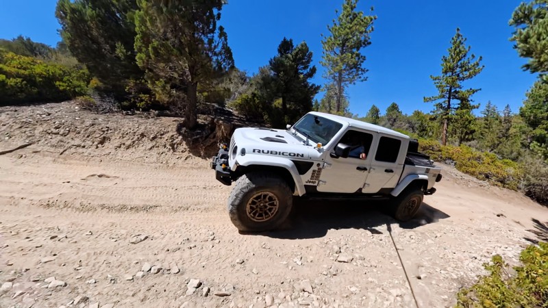
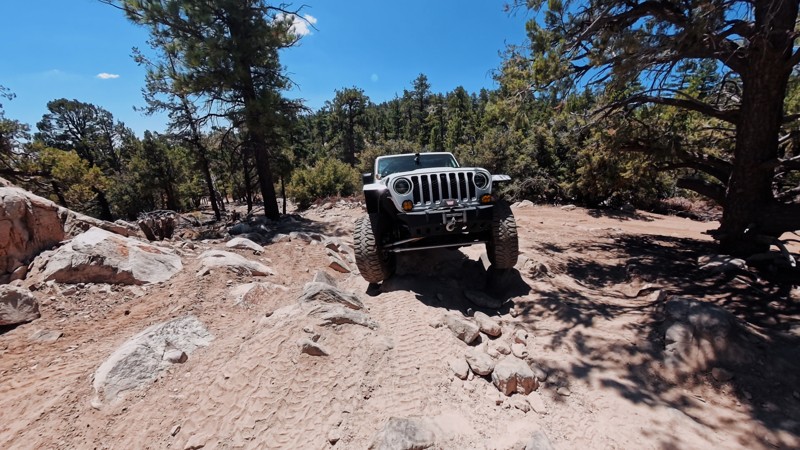
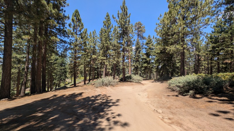
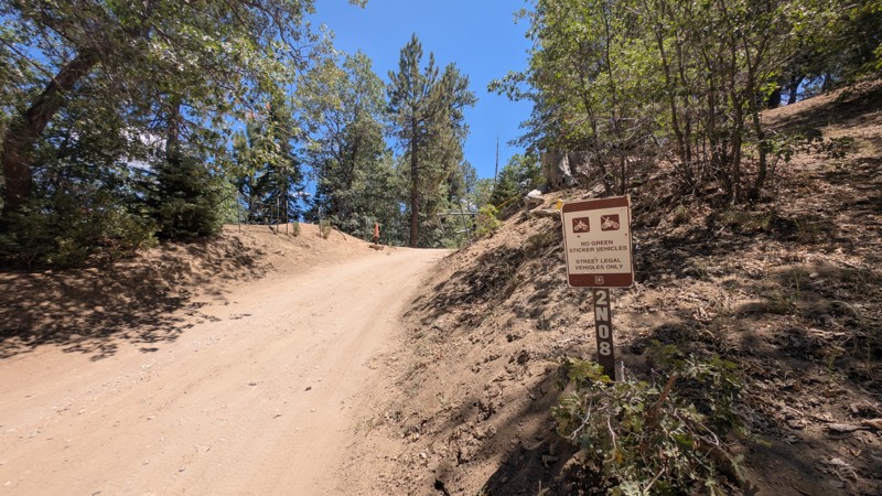
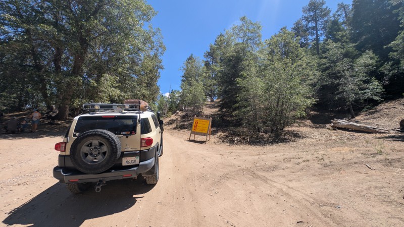
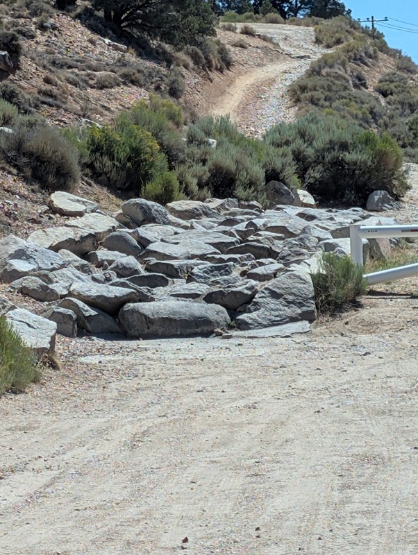
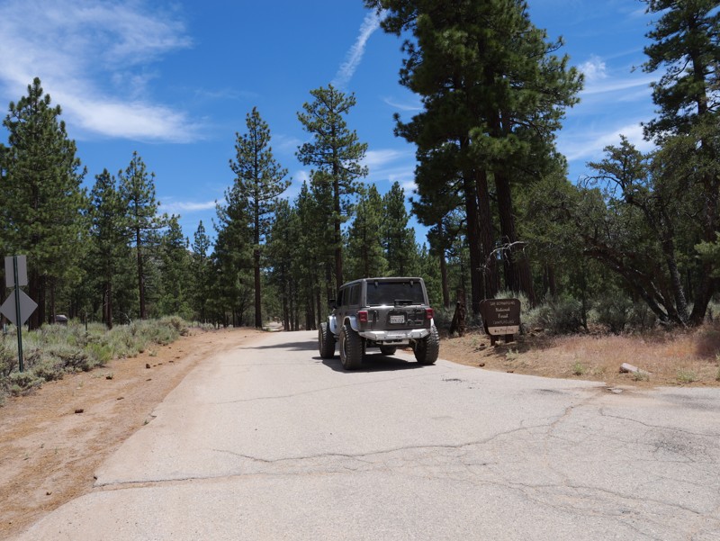
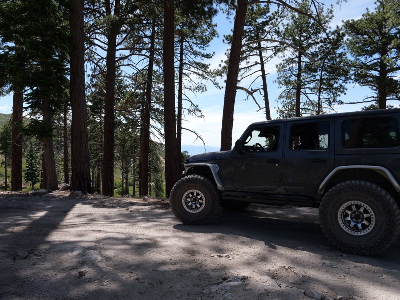
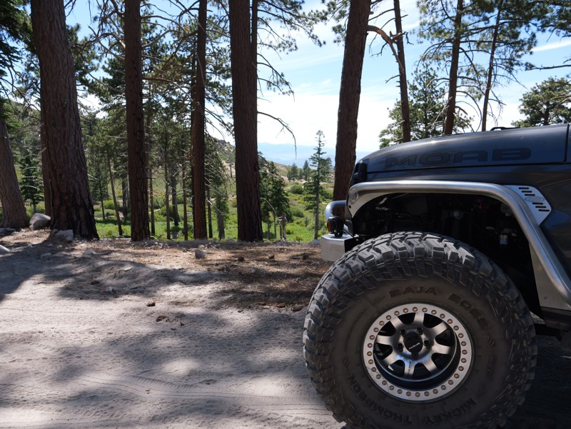
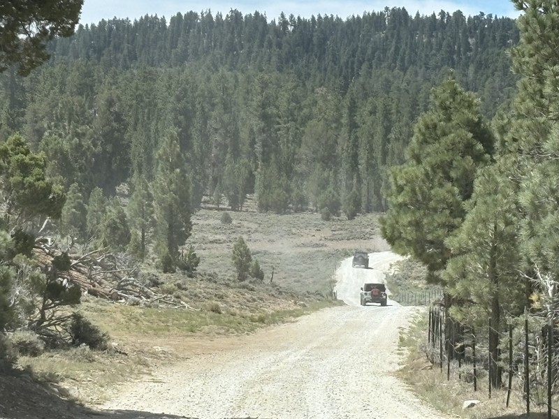
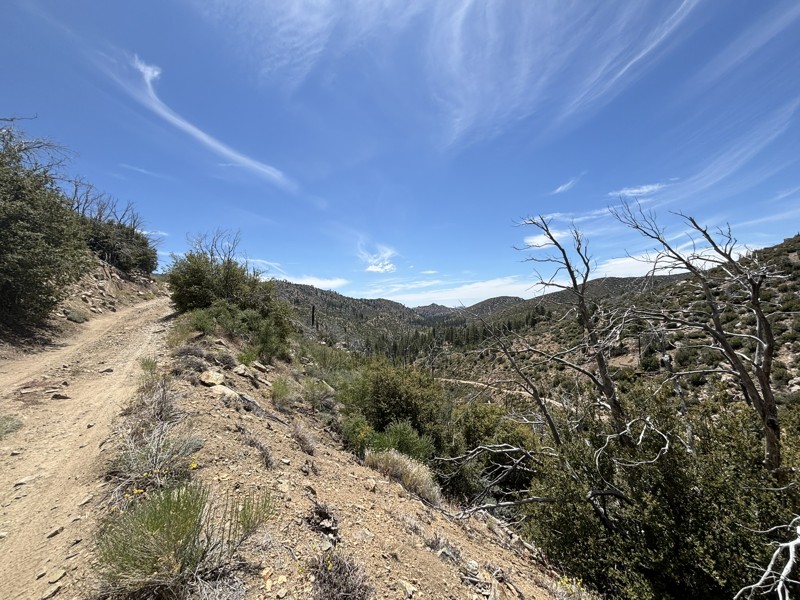
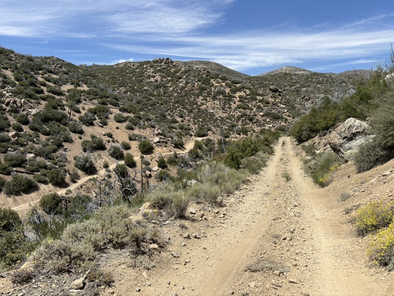
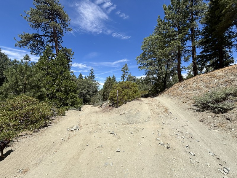
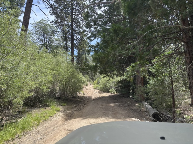
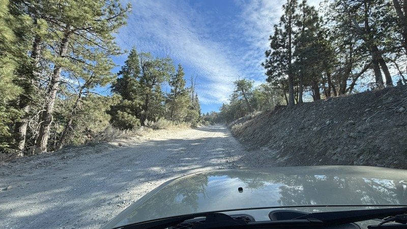
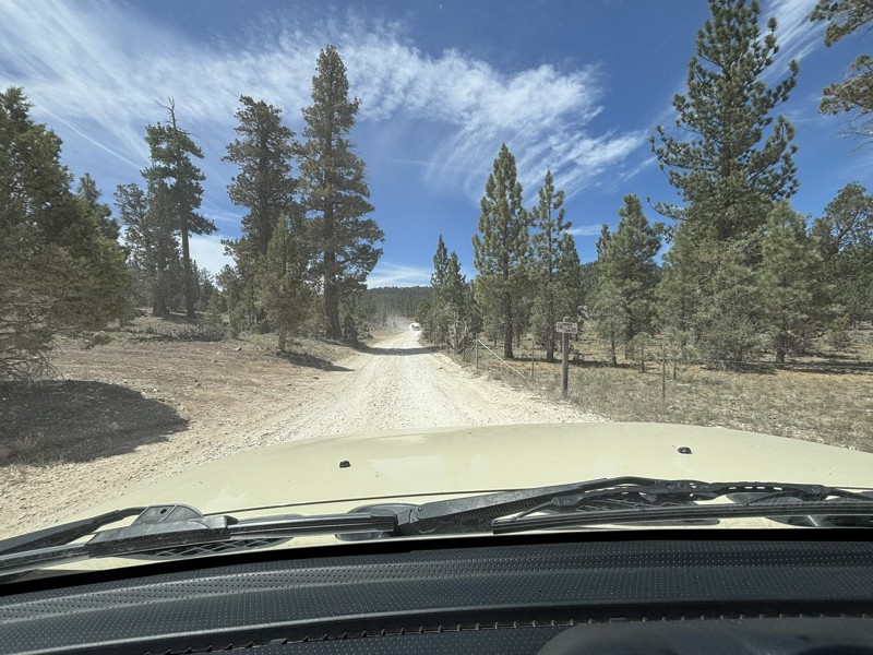
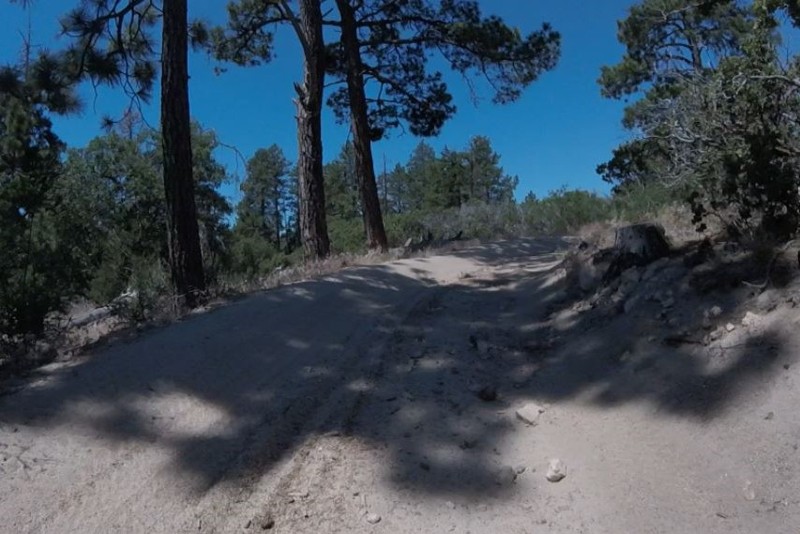
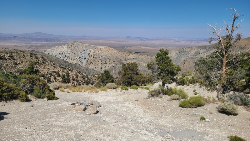
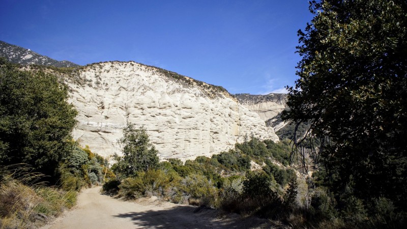
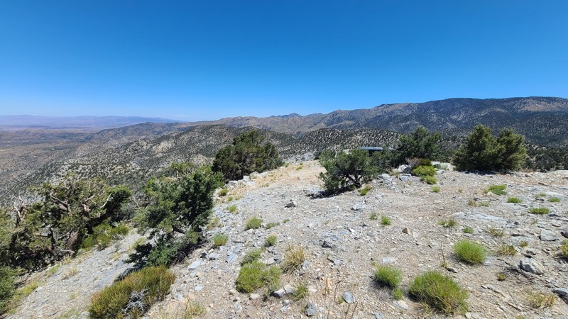
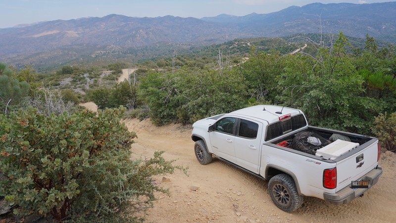
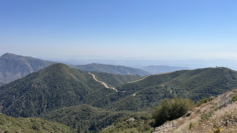
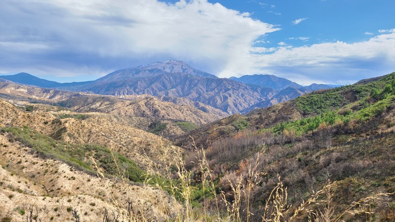
Big Bear is the ultimate mountainous getaway accessible to the masses of Southern California. It is accessible both in its geographic proximity as well as its variety of offroad and camping options.

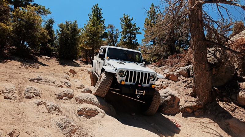
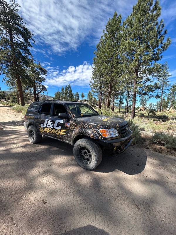
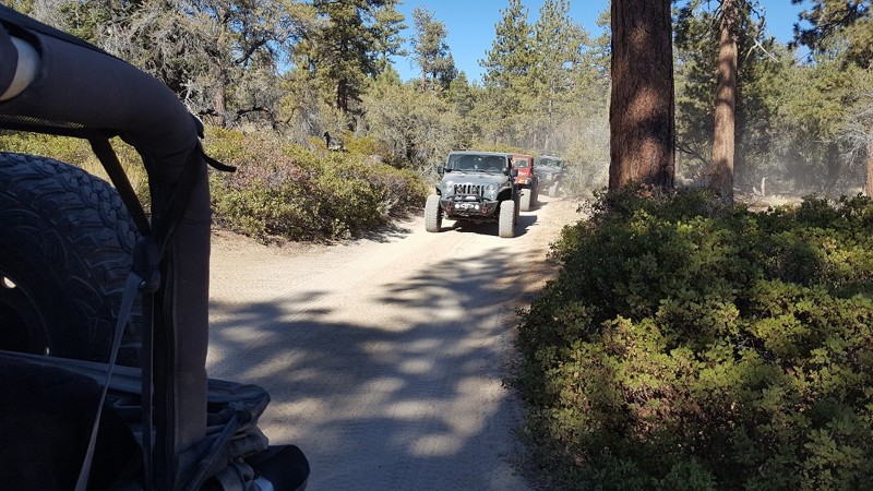
If you want to drive down a dirt road to a National Forest campground in the family SUV, Big Bear has options. If you want to explore scenic trails for the day and grab dinner in town, Big Bear has options. If you want to push the limits of your 4x4 on world-class rock crawling trails then set up at a dispersed campsite for the weekend, Big Bear has options.

Big Bear is part of the San Bernardino National Forest and is located less than 100 miles from most of the greater Los Angeles area. This makes it an excellent destination for Southern California locals looking to escape into nature for a few days. The high elevation also means it's the ideal summer escape from the heat of the valleys below. In the winter, Big Bear remains popular with offroad enthusiasts since it is one of the few areas with trails open year-round. That's right: snow wheeling in SoCal.

So if you're ready to book your stay in Big Bear (literally or figuratively), just know that you probably won't be the only one. Keep an eye out for fellow offroaders, be respectful of other campers, and make sure to leave the natural beauty of the San Bernardino National Forest better than you found it. 

With dozens of trails in the Big Bear area, it can be tough to decide where to start. Check out our list of the Top 5 Beginner Trails in Big Bear CA

Top Reasons to Explore Here

Basemaps
Go All-Access to Unlock


TRAILS OFFROAD™ TRAIL TYPES
Trail Guide
Full detailed write up with Advanced Rating System, Waypoints, Video, and more.
Scout Route
Lite version with highlights, camping, and hardest part documented. Vetted in person.
TRAIL DIFFICULTY RATINGS
easy (1-2)
Suitable for high clearance 2WD
moderate (3-4)
Best suited for a high clearance 4x4
difficult (5-6)
Best suited for a lightly modified 4x4
severe (7-8)
Best suited for a highly modified 4x4
extreme (9-10)
Best suited for specialized buggy type vehicles
LAYERS

Most Recent Trail Reviews

Most Popular

Search for Trails
California: Ash Meadows Hero Photo
All-Access Icon
4.7/5 (5 reviews)
Updated: 02/18/2026

Ash Meadows

Lake Arrowhead, California

Ash Meadows Road is designated as an Off-Highway Vehicle (OHV) road connecting to

Willow Creek Jeep Trail 3n34

and Sewer Pond OHV Trail 3W13. There are few pine trees at this lower elevation, allowing panoramic views to the west. The road is wide and flat with a few bumps and rocks. There are several spots along the way to pull over and have lunch under a shade tree along the way.

California: Crab Flat Loop Hero Photo
All-Access Icon
4/5 (4 reviews)
Updated: 03/12/2026

Crab Flat Loop

Running Springs, California

2N31Y is a short, non-technical, scenic loop. Typically roads like 3N16 Holcomb Valley and 3N34 East are used to get from Point A to Point B. Located off of 3N34 East, this little loop is a great detour if you are in the area.

California: 3N03A - Horsethief Flat Hero Photo
All-Access Icon
4.8/5 (5 reviews)
Updated: 07/10/2024

3N03A - Horsethief Flat

Big Bear City, California

Situated in the Big Bear area and just a short jog off the paved CA-18, this challenging trail will reward the effort with endless views and outstanding dispersed camping sites. Tall pine trees crowd the beginning of the trail, provide summer shade, and offer great picnic and camping. Venturing further before the trail's steep descent are endless views over the surrounding desert and out to the distant mountains. All of which takes you to Horsethief Flat, at the desert floor. The flat is a beautiful area concealed by the surrounding mountains with lush ribbons of green foilage that are supported by an active creek flowing along its border with the mountains.

California: 1N13 - Santa Ana Hero Photo
All-Access Icon
5/5 (2 reviews)
Updated: 12/01/2023

1N13 - Santa Ana

Highland, California
1N13 - Santa Ana, is a 4x4 off-road trail in the San Bernardino National Forest. The trail is on the south-facing slopes below Keller Peak and the town of Running Springs, it is a spur trail off of 1N09 - City Creek. Besides enjoying the beauty of these mountains, the main reason for this route would be to hike to the canyon's bottom to explore the water control facility on the Santa Ana River.
California: Tip Top Mountain Hero Photo
Scout Route Icon
4.4/5 (11 reviews)
Updated: 06/10/2026

Tip Top Mountain

Doble, California

Located in the Mountain Top Ranger District of the San Bernardino National Forest (SBNF), 2N90 is an up-and-back trail chiseled into the steep side of Tip Top Mountain. This trail climbs 2,300 feet over an extremely rough, rocky, and narrow shelf road that eventually reaches the 7,500-foot summit. Once on top, the views are magnificent.  This trail requires an expert driver with a suitable high clearance four-wheel drive vehicle and low range. Drivers will be required to manage very steep grades, narrow trails, sharp alignments, rough or loose tread surfaces, and substantial obstacles.  

Dispersed camping is permitted when following the SBNF Dispersed Camping Guidelines. However, the only suitable dispersed campsite is at the end of the road, on top of the mountain, where level land and inspiring views are available. Be sure to follow all Current Fire Restrictions and Related Prohibitions and obtain a California Campfire Permit before camping.


California: 2N28Y - Banff OHV Road Hero Photo
All-Access Icon
3.5/5 (13 reviews)
Updated: 06/19/2024

2N28Y - Banff OHV Road

Lake Arrowhead, California
A nice quiet neighborhood street in the mountain lake community of Lake Arrowhead leads into this San Bernardino National Forest trail known as 2N28Y - Banff OHV Road. Drop in from the blacktop, hit the dirt and start your day off-road with this easy-to-acess off-road trail that connects to numerous other 4x4 trails in the area, including 2N25 - Rouse Ranch Road, 2N27Y - Rouse Meadow and 2N29Y - Stove Flats.
California: 3N10 West - Connector Trail to John Bull West Hero Photo
All-Access Icon
4.9/5 (12 reviews)
Updated: 07/08/2024

3N10 West - Connector Trail to John Bull West

Big Bear Lake, California
This section of 3N10 is a short connector trail between John Bull West and 3N16. The trail is mostly a dirt road with some scenic views but also provides a loop for several trails that connect back to Holcomb Valley Campground. Along the route, you will pass through the dense forest of Holcomb Valley.
California: 3N11 Hero Photo
All-Access Icon
4.5/5 (6 reviews)
Updated: 05/05/2023

3N11

Big Bear Lake, California
One of the shorter trails on the mountain range, 3N11 takes you to the north end of the mountains where you will be presented with one of the most amazing overlooks of the High Desert. Some even say you can see Vegas on a clear day. Navigable in most stock 4x4's, 3N11 is a perfect trail for most offroad enthusiasts that are looking for some great adventures and amazing views.
California: 2N22Y - May Van Canyon Hero Photo
All-Access Icon
5/5 (9 reviews)
Updated: 05/29/2023

2N22Y - May Van Canyon

Big Bear City, California
Southeast of Big Bear, California in the San Bernardino National Forest and directly off of CA38 is this lone trail leading up the hill and ending just short of May Spring. Known as May Van Canyon, 2N22Y travels through this lush green section of the forest adjacent to private property as it climbs the mild hills leading toward the spring. A spring-fed water trough just outside the private property fence line is visible from the end of the trail where the greenery around it shows recent water flow. May Van Canyon is a good trail for a beginner looking for a little bit of a challenge.
California: 3N34 East - 2W03 Hero Photo
All-Access Icon
5/5 (5 reviews)
Updated: 05/05/2023

3N34 East - 2W03

Big Bear Lake, California
The entirety of 3N34 is known as Dishpan Springs, but in truth, it is like two trails in one. The east half of 3N34 / 2N03W is extremely different from the west half just 3N34. The contrast is stark, like night and day. The east segment is a very easy trail that stock vehicles can take to get to the Crab Flats Campground or other group campsites in the area. Just don't venture past the sign / gate that enters the more difficult western half unless you are prepared for it.
California: 3N38 - Arrowhead Airport Loop Hero Photo
All-Access Icon
3.5/5 (13 reviews)
Updated: 07/13/2024

3N38 - Arrowhead Airport Loop

Lake Arrowhead, California
This quick off-road loop off of the Willow Creek Jeep Trail passes by the Arrowhead Airport ; a fenced off, unlikely situated airstrip and collection of outbuildings in the mountains of Lake Arrowhead near Deep Creek and Devil's Hole. This trail offers a quick scenic run and travels along the airport's southern fence line.
California: 3N19 Hero Photo
All-Access Icon
5/5 (6 reviews)
Updated: 06/09/2023

3N19

Big Bear Lake, California
If out in the forests of Big Bear on an overlanding trip and wanting to find a dispersed camping spot that is unique and away from people, check out 3N19 near Holcomb Valley off 3N32 - Union Flats and 3N16 - Holcomb Valley Road. This small area is often passed since most people don't even realize it is here. On the west side of the area is an old damn that was used back in the gold mining era which to this day still retains water. So if out in the Jeep or Toyota, you have the family or friends and want to get away, check out this spot and disappear.
California: Grapevine Canyon Road Hero Photo
Scout Route Icon
4.4/5 (22 reviews)
Updated: 04/22/2026

Grapevine Canyon Road

Fizzben Heights, California

Grapevine Canyon Road provides a perfect opportunity to enjoy an easy offroad trail, experience incredible views, and enjoy convenient mountain camping, all while escaping the desert heat. Beginning in a sandy wash of the Lucerne Valley desert floor, Grapevine Valley Road winds 3000 feet up the north face of White Mountain to cooler temperatures and spectacular 180-degree views of the Lucerne Valley and onto the distant Granite and Fry Mountains. Also, the surrounding terrain during the climb offers a unique landscape dotted with fascinating massive granite boulder formations called inselbergs. At about the eight-mile mark is the border of the San Bernardino National Forest, where several marked Forest Service trails and dispersed camping can be found.

This is an easy trail, wide and flat, with a reasonable grade and generally with room for two vehicles to pass each other. A two-wheel drive vehicle with some clearance would handle this road, but once reaching the National Forest, many of the connecting trails will require a high clearance 4x4.

Several dispersed campsites are located by the road, with the best sites next to granite boulder formations that border the road. Near the trail's northern end is an unmarked spur leading to the base of a stunning granite boulder formation and a great dispersed campsite. The spur continues and once connected to Grapevine Canyon, but has been destroyed by weather and is now impassable. 

The Horse Springs Spur, just one mile from the southern end of the Grapevine Valley Road, leads to the eleven-site Horse Springs Campground and offers a secluded escape surrounded by a high desert environment in a cluster of juniper and pine trees that offers sweeping mountain views in all directions, tree-shaded campsites, picnic benches, fire rings, and pit toilets, a group ramada and picnic area. Campfires are prohibited in the National Forest.


California: JF3225 Hero Photo
Scout Route Icon
5/5 (4 reviews)
Updated: 08/26/2025

JF3225

Fizzben Heights, California

In the high desert of the San Bernardino National Forest, JF3225 follows the contours of Grapevine Canyon, and intersects with North Peak 3N17D. The trail rises quickly and provides stunning views to the north of the Lucerne Valley dry lakes and onto the distant Granite Mountains. The terrain surrounding the trail offers a unique landscape dotted with fascinating massive granite boulder formations called inselbergs. 

This trail is a continuation of the same JF3225 that makes up the start of Grapevine Canyon Road. 

The trail surface is generally flat and sandy, with very steep sections that require a high clearance 4x4. The steeper sections of the trail may require four-wheel drive for heavier vehicles. Being only one vehicle wide, there is ample space over most of the trail to pull over in the rare occurrence that there is an opposing vehicle. The trail becomes very narrow near its south end and is surrounded on one side by granite boulders and on the other by intruding bushes, which will result in some stripping.

The best dispersed campsite is found near the trail's northern end, up against a granite boulder formation for wind shelter. Other campsites can be found further along the trail after the steep sections, with flat and open clearings and room for one vehicle. The Horse Springs Camping site is only a short distance from the trail's southern end and offers tree-shaded campsites, picnic benches, fire rings, pit toilets, a group ramada, and a picnic area. Campfires are prohibited in the National Forest.

California: Van Dusen Canyon Road Hero Photo
Scout Route Icon
4.6/5 (32 reviews)
Updated: 06/29/2026

Van Dusen Canyon Road

Big Bear, California

Van Dusen Canyon Road (3N09) is an easy, seasonal offroad trail near Big Bear, California, ideal for beginners or anyone looking to explore the San Bernardino National Forest at a relaxed pace. It serves as a popular connector route to more advanced trails deeper in the forest, such as Holcomb Valley, or as a standalone scenic drive for those seeking tranquility.

As you travel this graded dirt road, you’ll experience a steady elevation gain. Starting around 6,700 feet in Big Bear up to over 7,800 feet at the end. This scenic trail brings cooler temperatures and sweeping mountain views. The gradual climb takes you through dense pine forests, wide open meadows, and some truly beautiful high-country landscapes. Due to its wide, smooth surface, it’s commonly recommended for larger vehicles like RVs, 2WD cars, and other street-driven rigs, making it one of the most accessible routes into the San Bernardino Mountains.

Van Dusen is also a favorite for overlanders and weekend 4x4 travelers thanks to the abundance of dispersed camping in the area. The best location is a large, cleared area about halfway and on the east side of the road, where it is not uncommon to see groups of 5+ vehicles gathered.

California: Juniper Flats 3330 Hero Photo
Scout Route Icon
3.5/5 (2 reviews)
Updated: 01/04/2025

Juniper Flats 3330

Fizzben Heights, California

Juniper Flats 3330 is a 12.5-mile adventure and a gateway to explore the many intersecting driving and hiking trails over its length. JF3330 snakes through the northern slopes of the San Bernardino Mountain foothills and is also known as Power Line Road for its access to the Southern California Edison (SCE) high voltage towers the trail follows. The route begins with majestic views to the west over the Mojave River bed and onto the distant San Gabriel Mountains. About 1.5 miles from the trailhead, it passes by and overlooks the area's namesake Juniper Flats, a shallow depression between the hills covered in tall Junipers. Once leaving the flats, the trail finds itself surrounded by magnificent boulder fields that escort you to the northern slopes of the foothills to reveal stunning views over the northern desert of Apple and Lucerne Valleys and the Granite Mountains with Rabbit Dry Lake 2000 feet below. On the trail's eastern end, it proceeds onto private land, where the trail's name changes to Santa Rosa Road, and it abruptly ends at railroad tracks with no crossing to the road on the other side.

This is an easy trail, but a high clearance vehicle is needed with the occasional steep ascents and a 4-wheel drive. Please note that the Juniper Flats Subregion is a Limited Use Area requiring vehicles to stay on marked trails.

The majority of the trail is on Bureau of Land Management (BLM) land, and dispersed camping can be enjoyed on the trail when following the BLM Dispersed Camping Regulations. The steep slopes the road is carved into allow for a few suitable dispersed campsites. Most of the flat areas large enough for multiple vehicles are at the bases of the SCE high voltage towers. Open fires may be prohibited, and it is the responsibility of campers to know the Campfire Restrictions.

California: 2N93F  - Wildhorse Hero Photo
All-Access Icon
5/5 (9 reviews)
Updated: 06/07/2024

2N93F - Wildhorse

Big Bear City, California
2N93F - Wildhorse Spur is in the beautiful San Bernardino National Forest, southeast of Big Bear Lake. There is dispersed camping throughout this trail, with 2 yellow post sites at the end. This is a spur off of 2N93 - Wildhorse Meadow, which has, on another spur, just 1.8 miles to the south, a designated shooting site at 2N93G Lightning Gulch. It's obvious where Wildhorse Meadow gets its name when you drive between waypoints 7 and 10, (of that trail). The meadow is lush and green and bordered by pine, oak, cedar, and elm. Bring your family, picnic lunch, and camera for a day of 4wd off-road fun. Better yet? Camp under the stars and enjoy the wildlife and forest.
California: Thomas Hunting Grounds Trail Hero Photo
Scout Route Icon
5/5 (3 reviews)
Updated: 09/30/2025

Thomas Hunting Grounds Trail

Angelus Oaks, California

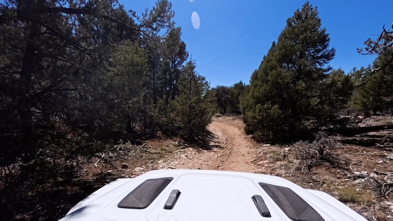
Thomas Hunting Grounds is an 11.6-mile straight-through dirt alternative to Highway 38 that contours the hills above Mill Creek, passing Morton Peak, Mountain Home Peak, and Constance Peak in about an hour. Frequent turnouts offer amazing scenic views of the Inland Empire. The route is easy and beginner-friendly. Scattered rocks about golf-ball to softball size are mostly avoidable, and any stock SUV or truck can make the drive. Multiple side spurs provide dispersed camps for 4–6 vehicles; sites are first-come, first-served, and some have established fire rings. Per the U.S. Forest Service, a California Campfire Permit is required for any fire use, including campfires, charcoal BBQs, and gas stoves, and only street-legal vehicles are allowed.

California: Alder Creek Hero Photo
Scout Route Icon
5/5 (1 reviews)
Updated: 01/16/2026

Alder Creek

Highland, California

Climbing 3,200 feet into the southern San Bernardino Mountains, Alder Creek provides phenomenal views across the Inland Empire and out to the distant Santa Ana Mountains. Just off the trail, and hidden from traffic, are abundant dispersed camping sites. Many of these sites are located on large, level areas adjacent to wind-sheltering mountain slopes, with space for multiple vehicles and tents, and offer outstanding views of the cities below.   At its end, the trail intersects City Creek 1N09, which provides access to many other trails to explore or a quick exit to Highway 330.

Alder Creek twists and turns up the mountainsides with several hairpin turns, but it is an easy drive on a mostly flat, hard-packed dirt road. Shelf roads with very steep drops make up a large portion of the trail and can be intimidating, but these sections are generally wide enough for two vehicles to carefully pass with a few narrow segments that require careful maneuvering to make way for opposing vehicles. Many culverts and shallow water worn ruts cross the road, and these are easily managed by a two-wheel drive vehicle with good ground clearance

California: Mound Spring Hero Photo
Scout Route Icon
3/5 (1 reviews)
Updated: 10/15/2024

Mound Spring

Rimrock, California
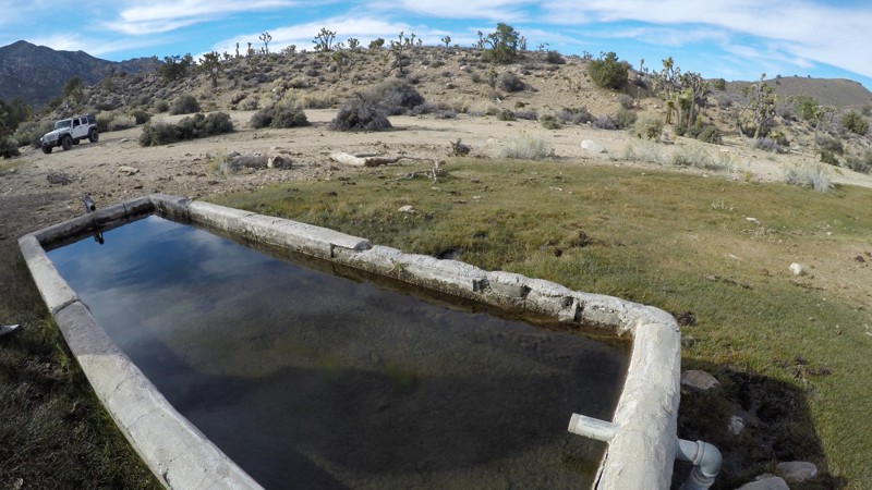
This is a short, easy trail off Rattlesnake Canyon that leads past Mound Spring in the mountains between Big Bear, California, and Johnson Valley. The spring-fed troughs are directly off the side of this trail, and you typically find water here year-round. This trail is a great add-on to a day of exploring in this area.
California: Holcomb Valley Farm and Camping Area Hero Photo
All-Access Icon
5/5 (5 reviews)
Updated: 05/05/2023

Holcomb Valley Farm and Camping Area

Fawnskin, California
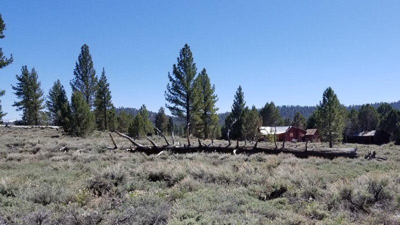
In the forest of Big Bear are a ton of great trails and a lot of camping. One such of these areas is an area next to the old farm in the Holcomb Valley area. Nestled in the forest, this area has some great dispersed camping waiting for families to make memories. It is full of lush green forest and bushes plus a stunning view of Holcomb Valley in the background. The area is large and flat and perfect for groups or families looking to escape the crazy life of SoCal and slow it down a bit. Because the area is dispersed, it has way fewer people than camping in a campground. But with that said, it is rare that wood or charcoal fires are allowed in this area so bring a gas campfire for your nightly ritual.
California: Monarch Flat Hero Photo
Scout Route Icon
5/5 (1 reviews)
Updated: 10/15/2024

Monarch Flat

Cushenbury, California

Carving its way up Blackhawk Mountain, Monarch Flat is an up-and-back road in the Mountain Top Ranger District of the San Bernardino National Forest (SBNF). Along the way, majestic views north and east only get better as the trail climbs in altitude. The trail eventually reaches 6,700 feet atop Silver Peak, where the abandoned Silver Mountain Mine with its shuttered mine shaft remains. Official maps may show the trail extending beyond Silver Peak, but the trail has long been forgotten and reclaimed by nature. The trail is moderately difficult and made up of loose rock and narrow, twisty shelf roads. A high-clearance four-wheel drive vehicle with an experienced offroad driver is recommended to manage this trail.

This trail offers several excellent dispersed camping locations, especially at its namesake, Monarch Flat, about 1.2 miles from the trailhead and again at the trail's end with its magnificent views. Dispersed camping is permitted when following the SBNF Dispersed Camping Guidelines. Be sure to follow all Current Fire Restrictions and Related Prohibitions and obtain a California Campfire Permit before camping.

California: North Peak Hero Photo
Scout Route Icon
5/5 (1 reviews)
Updated: 08/11/2025

North Peak

Fizzben Heights, California

In the forest-to-desert transition on the north side of the San Bernardino National Forest lies North Peak Road. Created to reach the once active White Knob Quarry, the trail is an out-and-back rising about 1,000 feet up the west side of White Mountain. Drivers looking for an offroad challenge to test their driving skills will enjoy this steep trail, and their efforts will be rewarded with inspiring panoramas out to the distant San Gabriel Mountains. The trail ends at the quarry where the exposed white limestone and the mountain's namesake were being harvested 

The trail is deeply rutted and follows steep rock-covered switchbacks, which have both inclines and off cambers reaching 20 degrees.  A lifted 4x4 is required to drive this trail, and lockers will be a benefit to help grip over the loose rocky sections.

While dispersed camping is allowed, there are no suitable flat and level locations to set up camp on the trail.  However, only about 1.5 miles to the west of the North Peak trailhead is the Horse Spring Campground with its improved campsites and pit toilets.

California: Carbine Flat Spur A Hero Photo
Scout Route Icon
4.5/5 (2 reviews)
Updated: 08/26/2025

Carbine Flat Spur A

Fizzben Heights, California

Carbine Flat Spur-A provides drivers a chance to test their off-roading skills and vehicle capabilities over a challenging trail.  Located in the high desert of the San Bernardino National Forest, Carbine Flat Spur-A slowly descends from the Carbine Flat area to the varied landscape of Juniper Flats.  Along the way, the trail passes several motorized and hiking trails that beckon exploration.  Near the west end of the spur is the Deep Creek area with popular hiking trails to nearby hot springs. From here, there is access to dozens of other marked BLM trails in the 100,000-acre Juniper Flats.

Forest Service trails on Carbine Flat Spur-A indicate a solid blue square for a “More Difficult rating,” but the trail could easily be rated “Most Difficult” or black diamond.  The trail surface is often very rocky with a few significant protruding rock formations and steep slippery climbs.  An experienced driver in a lifted 4x4 is necessary for this trail.  The most difficult obstacle, about 1.7 miles from the trailhead (N34° 21.108', W117° 07.318'), is an unavoidable rock waterfall requiring careful wheel placement.  The west end of the trail features a steep climb over a very worn, rutted, off-camber surface with exposed boulders, making it best suited for those with lockers. The quickest exit to paved roads from the trail's end is via Pack Mem Trail JF3300, which is an intimidating 1,000 feet descent down a shelf road.

Several level clearings suitable for dispersed camping do exist, but they are exposed to the wind and can be found next to the trail.  For those looking for a prepared campsite, the Forest Service Horse Springs Camping site, located about 3 miles east of the trailhead, offers tree-shaded campsites, picnic benches, fire rings, pit toilets, a group ramada, and a picnic area.  Campfires are prohibited in the National Forest.