Region

North Rim Grand Canyon and Kaibab National Forest

Arizona

Offroad Trails in North Rim Grand Canyon and Kaibab National Forest

A Region within Arizona
4.5/5 (159)

Offroading the North Rim: Exploring Kaibab National Forest

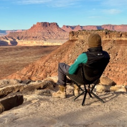
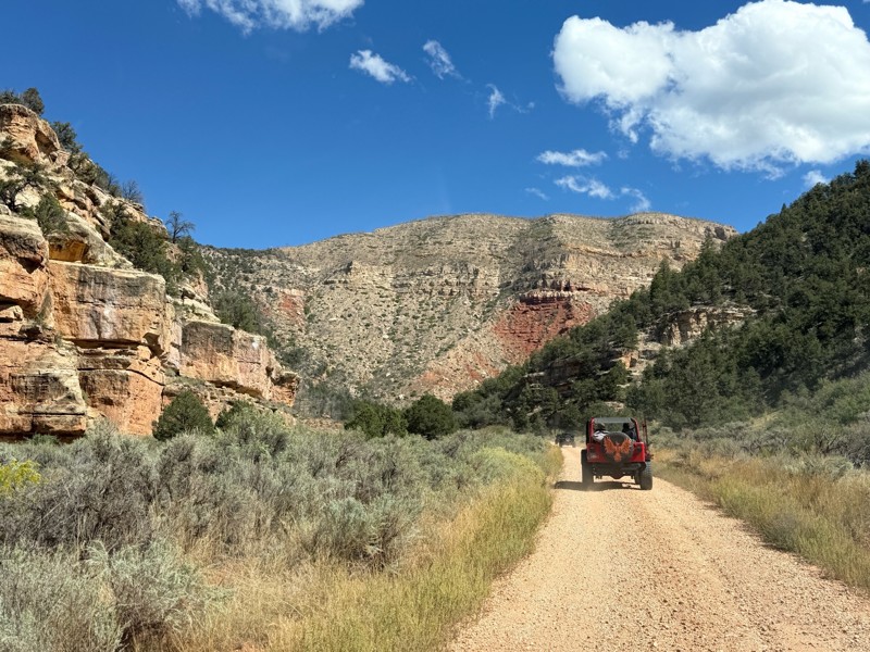
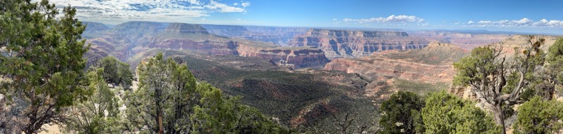
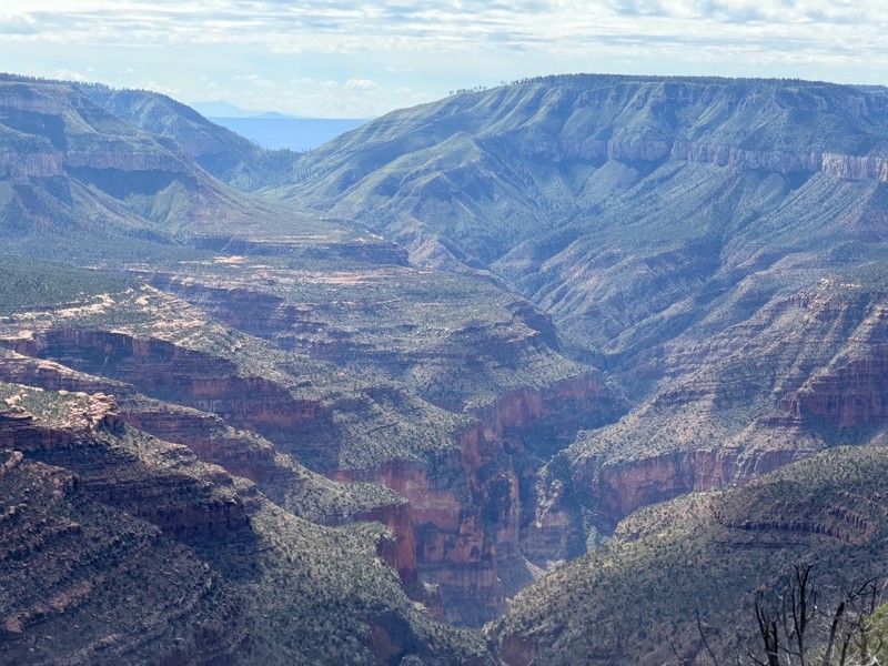
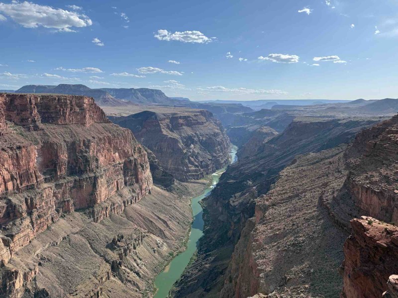
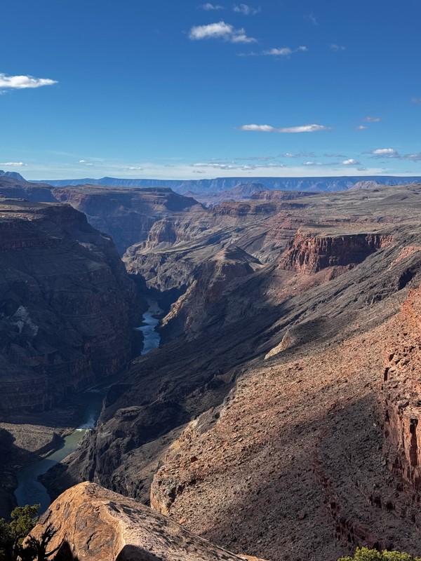
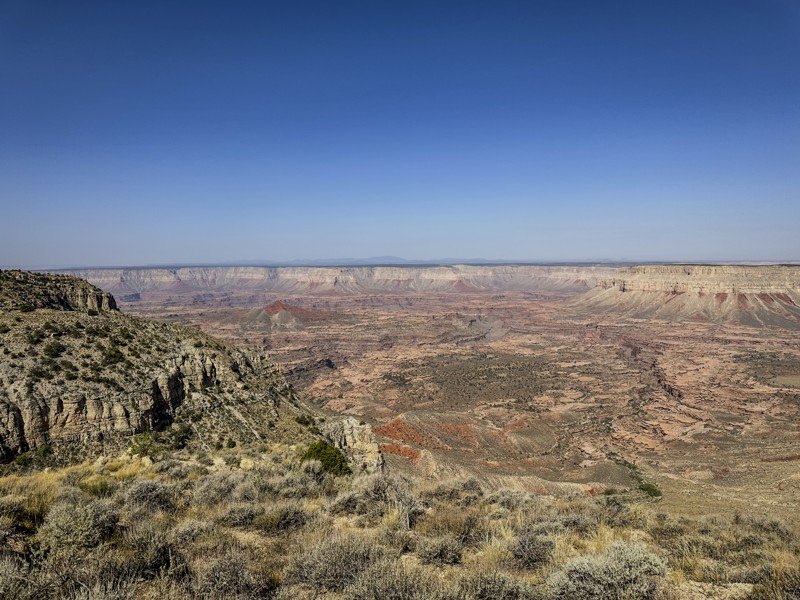
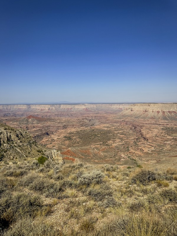
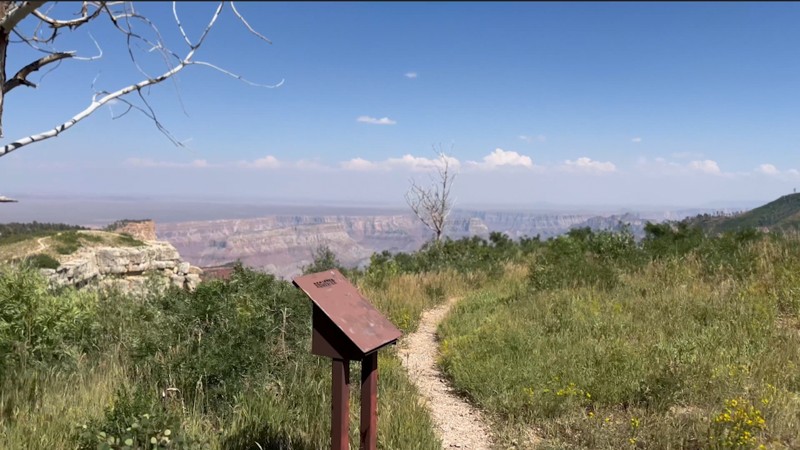
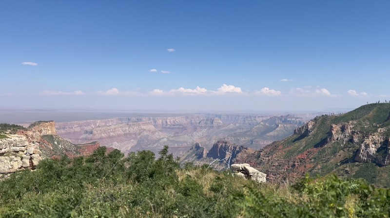
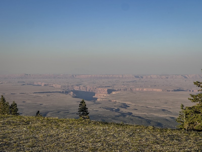
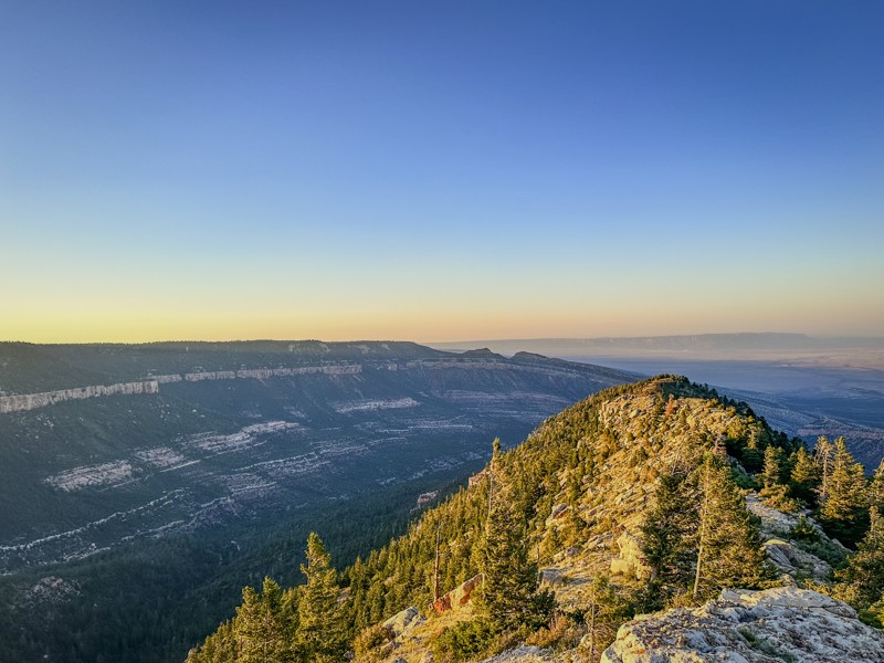
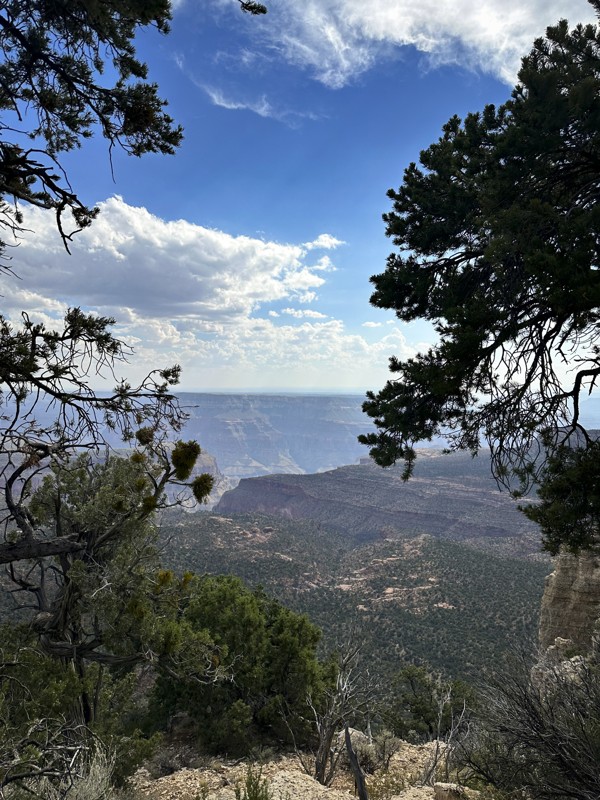
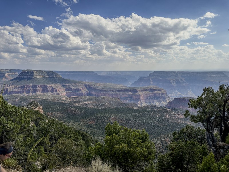
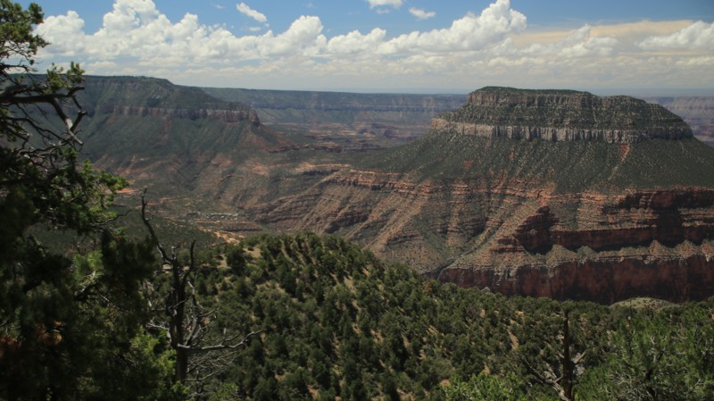
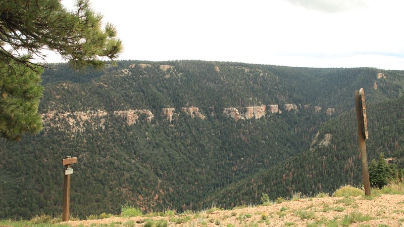
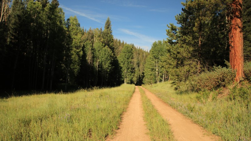
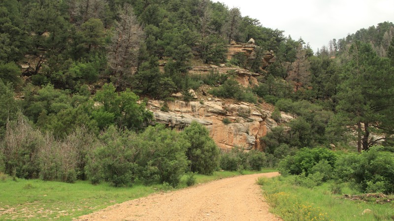
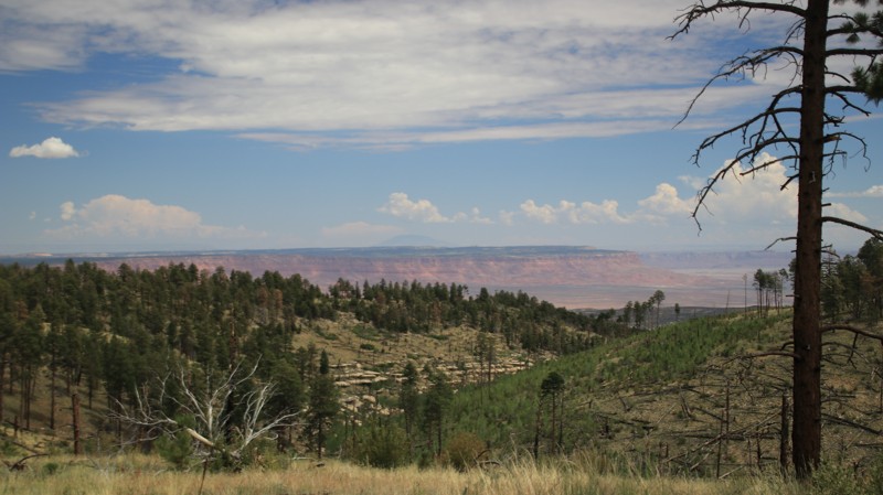
The North Rim of the Grand Canyon offers a quieter, wilder experience than its southern counterpart—and for offroaders, it's a hidden gem. Surrounded by the expansive Kaibab National Forest, this region delivers cool high-elevation forests, remote trail access, and breathtaking canyon-edge views, all far from the crowds.

Why Offroaders Love the North Rim

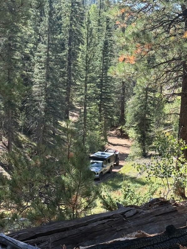
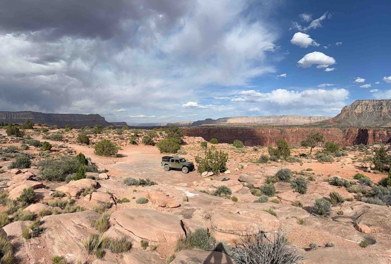
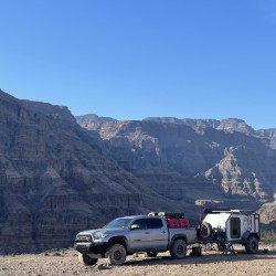
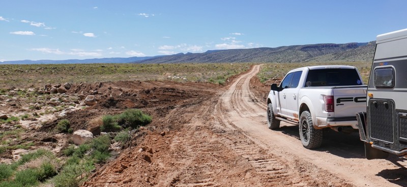
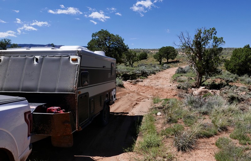
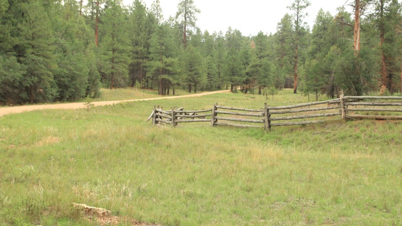
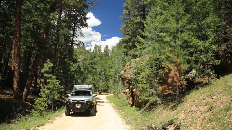
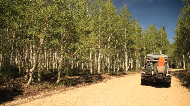
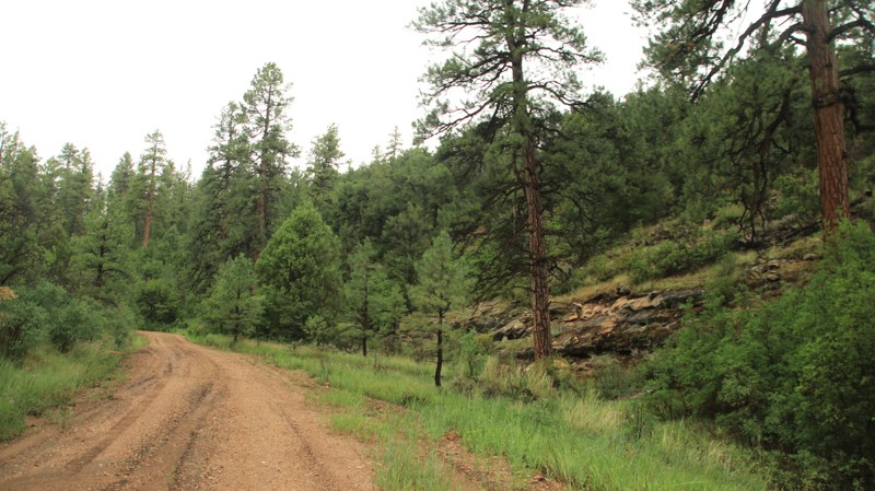
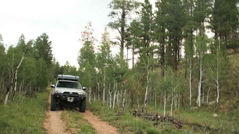
Kaibab National Forest is crisscrossed with a network of forest roads ranging from smooth graded routes to rugged two-tracks. Many of these trails lead to spectacular overlooks, historic fire towers, and secluded campsites perched just steps from the canyon rim. Popular routes include Toroweap, Point Sublime, Crazy Jug Point, and Saddle Mountain Overlook—each offering a blend of scenery, solitude, and just enough challenge to keep it fun.

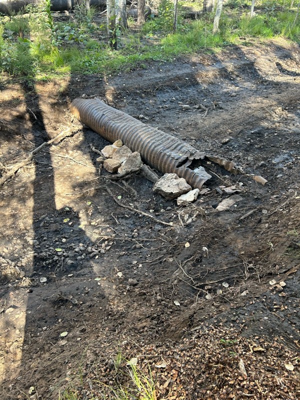
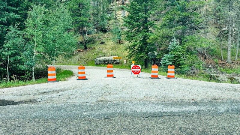
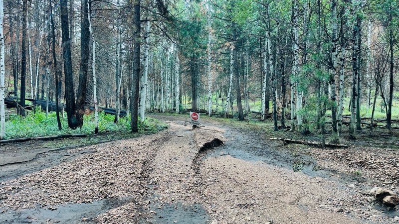
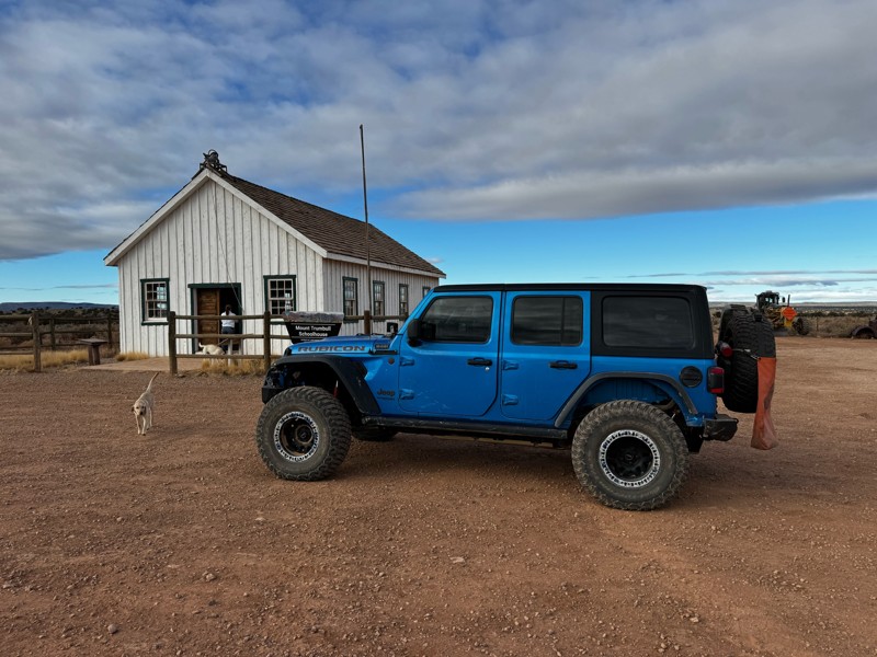
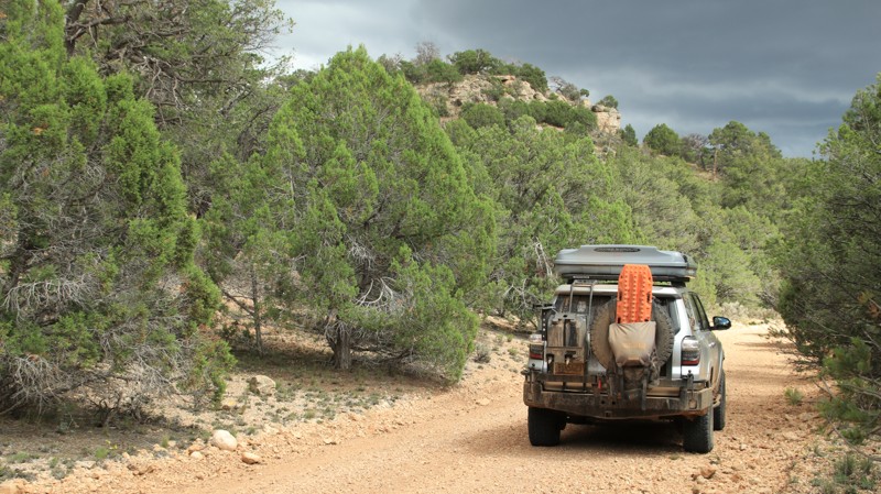
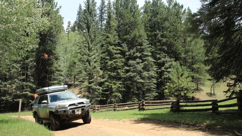
Most trails are best suited for high-clearance 4x4s, especially after rain or snow. Wildfire closures can impact access, so checking local conditions and updated trail guides is a must.

Camping and Trip Planning

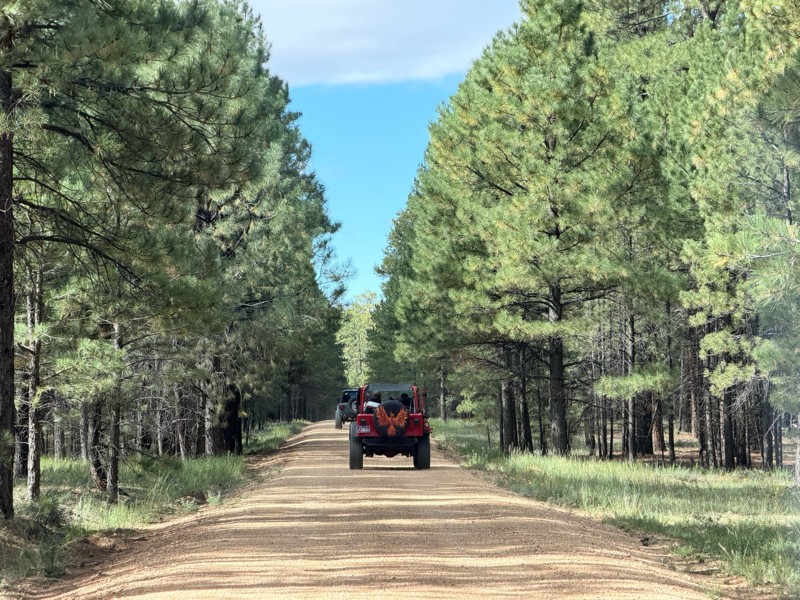
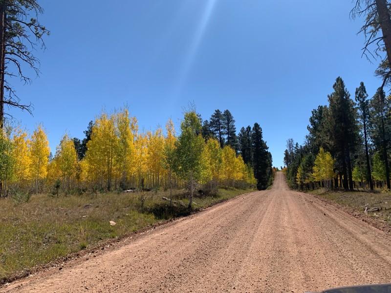
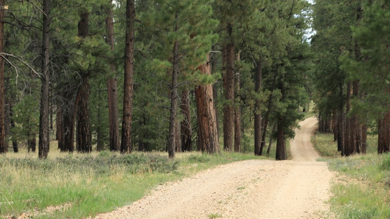
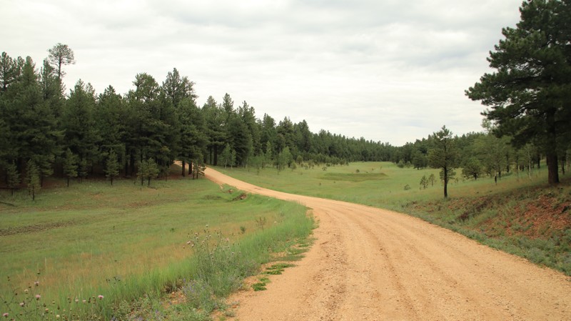
Dispersed camping is widely available throughout the Kaibab Plateau. From pine-covered ridges to meadow-lined roads, there’s no shortage of scenic, peaceful spots to set up camp. Services are limited, so pack in water, supplies, and a sense of adventure. The season typically runs from late spring through early fall, depending on snowmelt and road conditions.

Plan Your North Rim Adventure

  • Best Vehicle Type: High-clearance 4x4
  • Navigation: Trails Offroad GPS trail maps recommended
  • Popular Offroad Trails: Toroweap, Point Sublime, Crazy Jug, Marble Viewpoint, East Side Game Trail
  • Land Management: National Park Service, USFS Kaibab National Forest, North Kaibab Ranger District

For offroaders craving a true backcountry experience with unbeatable views of the Grand Canyon, the North Rim delivers. Load up your rig, grab the GPS, and get ready to explore one of Arizona’s most underrated offroad regions.
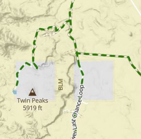
Top Reasons to Explore Here

Basemaps
Go All-Access to Unlock


TRAILS OFFROAD™ TRAIL TYPES
Trail Guide
Full detailed write up with Advanced Rating System, Waypoints, Video, and more.
Scout Route
Lite version with highlights, camping, and hardest part documented. Vetted in person.
TRAIL DIFFICULTY RATINGS
easy (1-2)
Suitable for high clearance 2WD
moderate (3-4)
Best suited for a high clearance 4x4
difficult (5-6)
Best suited for a lightly modified 4x4
severe (7-8)
Best suited for a highly modified 4x4
extreme (9-10)
Best suited for specialized buggy type vehicles
LAYERS

Most Recent Trail Reviews

Most Popular

Search for Trails
Arizona: Parissawampitts Point Road Hero Photo
Scout Route Icon
3/5 (1 reviews)
Updated: 10/15/2024

Parissawampitts Point Road

North Rim, Arizona
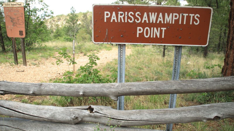
Parissawampitts Point Road leads to fairly unimpressive views when compared to the viewpoints to the south. However, it's an exceptionally nice road. There are a few campsites. The point is the northern terminus of the Rainbow Rim hiking trail.
Arizona: Indian Hollow Hero Photo
Scout Route Icon
5/5 (1 reviews)
Updated: 10/15/2024

Indian Hollow

Ryan, Arizona
Indian Hollow passes through the western edge of the Kaibab Plateau to reach the Indian Hollow hiking trailhead, though most know it as the Thunder River trailhead. The Thunder River Trail is an extremely arduous multiday hike that leads to an enormous spring gushing from a cliff face in the Redwall Limestone. The spring forms its own river. The Forest Service conveniently provided Indian Hollow Forest Camp near the trailhead. The campground is free with three separate campsites. Each site has a picnic table, a fire pit, and a grill rack. There's also a vault toilet.
Arizona: FR 268 Hero Photo
Scout Route Icon
4/5 (1 reviews)
Updated: 10/15/2024

FR 268

North Rim, Arizona
FR 268 passes through a beautiful forest before reaching an ignominious end. The trail parallels the Kaibab National Forest and Grand Canyon National Park boundaries. Summer monsoon storms will cause mudholes and ruts, but the road surface is hard. Be prepared to clear downed trees. Camping is not permitted along the trail by either the Forest Sevice or the National Park.
Arizona: FR 272 Hero Photo
Scout Route Icon
3.5/5 (2 reviews)
Updated: 10/15/2024

FR 272

Ryan, Arizona
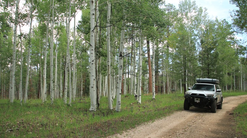
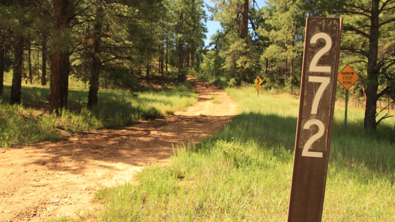
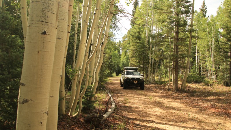
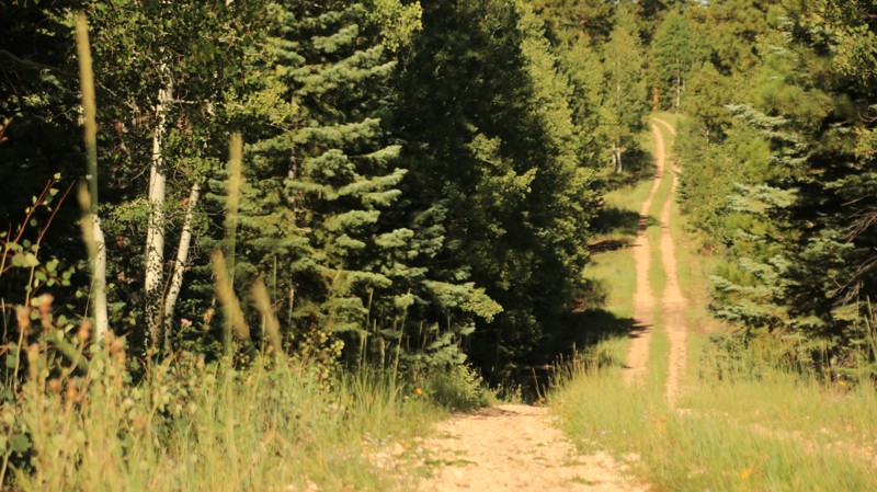
FR 272 passes through a park-like pine and aspen forest. Two miles on the trail's western end is steep with loose rock and ledges. There are a few dispersed campsites along the trail and plenty more along the numerous spur trails.
Arizona: Fence Point Hero Photo
Scout Route Icon
4/5 (1 reviews)
Updated: 10/15/2024

Fence Point

North Rim, Arizona
Fence Point is an easy drive to a nice viewpoint. The best views require a short walk. There are two small walk-in campsites at the point. The point also serves as a hiking trailhead for the Rainbow Rim Trail.
Arizona: East Rim Ridge Hero Photo
Scout Route Icon
5/5 (2 reviews)
Updated: 10/15/2024

East Rim Ridge

North Rim, Arizona
East Rim Ridge begins on Highway 67 and runs eastward atop the Kaibab Plateau. Aspen trees line the sides of the well-maintained road and, in Fall, provide the illusion of traveling through a golden tunnel. The East Point Lookout has good views at the end of its 200-yard paved walking path. There are picnic tables to enjoy the amazing view eastward. There's also a vault toilet in the parking lot. The real draw of this road is the campsites scattered along the ridgeline with fantastic views of the Vermillion Cliffs and Navajo Mountain out in the distance. While camping is plentiful, there is no camping a half mile on either side of the East Point Lookout.
Arizona: VT Ridge Hero Photo
Scout Route Icon
4/5 (1 reviews)
Updated: 10/15/2024

VT Ridge

North Rim, Arizona
VT Ridge runs south off West Side Ryan. The trail connects with east/west trails leading to many of the scenic viewpoints and great campsites for which the Kaibab Plateau is known. VT Ridge begins as a well-groomed gravel road but deteriorates further south until it ends at the Grand Canyon National Park boundary. While the MVUM doesn't permit camping on VT Ridge, there is plenty of quality camping along the spur roads.
Arizona: Dry Ridge Park Hero Photo
Scout Route Icon
3.5/5 (2 reviews)
Updated: 10/15/2024

Dry Ridge Park

Ryan, Arizona
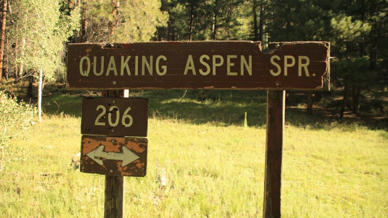
Dry Ridge Park begins on West Side Ryan, FR 22, and serves as a connector to most of the "point roads". Along the way, it passes Quaking Aspen Spring, many small grassy glades, and an old-growth pine forest. There's plenty of camping along the spur roads, but none on this major travel artery.
Arizona: Warm Springs Canyon Hero Photo
Scout Route Icon
3/5 (2 reviews)
Updated: 09/23/2026

Warm Springs Canyon

Jacob Lake, Arizona
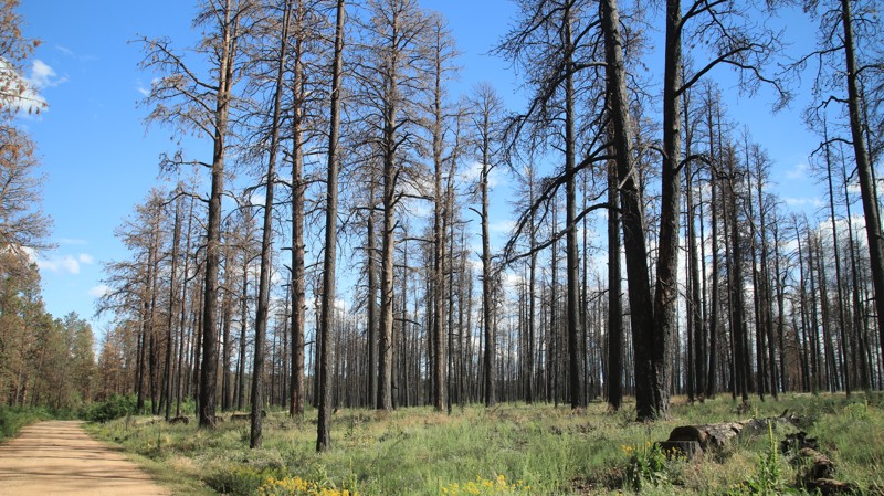
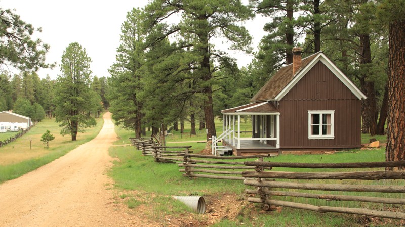
Beginning near Jacob Lake, Warm Spring Canyon goes westward to connect with Fracus Canyon. The road is a popular route for accessing the scenic vistas of the "point" roads deeper in the Kaibab National Forest. The well-maintained road passes a commercial campground, the Kaibab Camper Village, and a historic ranger cabin built in 1910. The trail soon enters a burned area from the 2020 Magnum Wildfire, severely limiting the availability or desirability of dispersed campsites. The road steeply descends along a shelf at its western end before joining Fracus Canyon.
Arizona: FR 609 Hero Photo
Scout Route Icon
4/5 (1 reviews)
Updated: 10/15/2024

FR 609

North Rim, Arizona
FR 609 is a short connector between the roads to Fire Point and the Timp Points. The road runs through a pine, fir, spruce, and aspen forest as it descends and then climbs out of Browns Canyon. There are minor washouts from rain runoffs. There are no campsites along the road.
Arizona: Castle Canyon Hero Photo
Scout Route Icon
5/5 (1 reviews)
Updated: 10/15/2024

Castle Canyon

Jacob Lake, Arizona
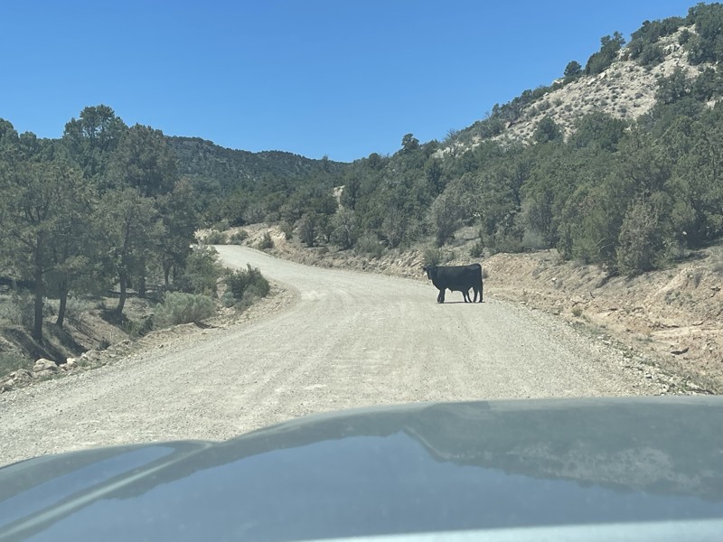
Castle Canyon runs east-west from Highway 67 to West Side Ryan. The trail's eastern end briefly passes through an area burned by the 2006 Warm Fire and the 2019 Castle Fire. There is an active cattle ranch on the east end as well. You will likely see cattle grazing on the open grassy meadows but watch for deer too. The western portion of the trail passes through deep forests and a pretty canyon. There's a nice campsite at the intersection with West Side Ryan and others down many of the spur trails.
Arizona: FR 225 Hero Photo
Scout Route Icon
4/5 (1 reviews)
Updated: 10/15/2024

FR 225

Jacob Lake, Arizona
FR 225 runs through the tall pines of the Kaibab National Forest between Highway 89A and FR 205. There are numerous campsites on the northern end of the trail. The middle of the trail offers eastward views of the Vermillion Cliffs. While there are a few ruts and minor washouts, this is an easy road.
Arizona: Ranger Pass Hero Photo
Scout Route Icon
3/5 (1 reviews)
Updated: 10/15/2024

Ranger Pass

Ryan, Arizona
Ranger Pass runs east-west between Pine Flat, FR 427, and Ryan Jumpup Divide, FR 423. The road is primarily used to access the Jumpup Cabin and the Ranger Trail into the Kanab Creek Wilderness. Ranger Pass is easy when dry and very slippery when wet. The road passes through a pinion juniper forest and a burned area. Only one marginal campsite was noted along the trail.
Arizona: FR 205 Hero Photo
Scout Route Icon
4/5 (1 reviews)
Updated: 10/15/2024

FR 205

Jacob Lake, Arizona
FR 205 runs between Highways 89A and 67 near Jacob Lake. The road has vault toilets on each end with large pull-throughs for RVs and trailers. The easy trail follows a small canyon lined with pine, aspen, and limestone boulders before climbing onto a ridgeline. Jolly Sink is a sinkhole formed when the underlying limestone eroded. There are campsites galore near each end of the trail.
Arizona: Pine Flat Hero Photo
Scout Route Icon
2.3/5 (3 reviews)
Updated: 09/23/2026

Pine Flat

Ryan, Arizona
Pine Flat is a relatively boring trail that runs through a recovering burn area. There are a few pockets of very pretty pines that survived the wildfire. No camping was noted.
Arizona: Mile Half Access Road North Hero Photo
Scout Route Icon
4/5 (1 reviews)
Updated: 10/15/2024

Mile Half Access Road North

Jacob Lake, Arizona
Mile Half Access Road North runs north-south from Warm Springs Canyon to Corral Lake. The historic Jacob Lake Ranger Station, built in 1910, sits just across from Jacob Lake, which is more of a grassy meadow that sometimes holds water than an actual lake. The trail passes through a small burn section and curves in and out between canyons and ridgelines. The best camping is at the southern end, where the trail meets Corral Lake.
Arizona: FR 239 Hero Photo
Scout Route Icon
5/5 (1 reviews)
Updated: 10/15/2024

FR 239

North Rim, Arizona
FR 239 connects Fire Point and Dry Ridge Park. The eastern end has campsites suitable for groups or RVs and trailers. Smaller campsites dominate the central part of the trail. Further west, the trail is seldom used, with high grass growing between the two tracks.
Arizona: FR 222 Hero Photo
Scout Route Icon
4/5 (2 reviews)
Updated: 10/15/2024

FR 222

North Rim, Arizona
FR 222 is a graded east-west arterial road through the Kaibab National Forest connecting VT Ridge and Dry Ridge Park providing access to the scenic western portion of the Kaibab Plateau. There is a nice campsite at the intersection with FR 231.
Arizona: FR 250 Hero Photo
Scout Route Icon
4.5/5 (2 reviews)
Updated: 10/15/2024

FR 250

Ryan, Arizona
FR 250 runs north/south, bisecting most of the "point" roads. It climbs and descends five separate ridgelines through four canyons. The ridges are dominated by stately Ponerdeosa pines, while the canyons have aspen and open glades. The seldom traveled trail is easy with a few steeper loose rock sections. A single dispersed campsite was noted along the trail.
Arizona: FR 200 Hero Photo
Scout Route Icon
4/5 (1 reviews)
Updated: 10/15/2024

FR 200

Jacob Lake, Arizona
FR 200 runs through a pine and aspen forest between Highway 67 and FR 205. Numerous campsites on the southern end of the trail could support large rigs or a larger group. The forest is very open along the road, and deer often graze.
Arizona: Pine Hollow Hero Photo
Scout Route Icon
5/5 (1 reviews)
Updated: 10/15/2024

Pine Hollow

Ryan, Arizona
Pine Hollow travels through an old-growth pine forest on the east end before entering a brief area recovering from an old wildfire on the west end. The road is used primarily by travelers headed to the Jumpup Cabin or Kanab Creek Wilderness Area. There's lots of dispersed camping in the pines along the road or down any of the many spur trails.
Arizona: FR 200B/G Hero Photo
Scout Route Icon
4/5 (1 reviews)
Updated: 10/15/2024

FR 200B/G

Jacob Lake, Arizona
FR 200B and its short spur, 200G, offers a bit more challenge than the neighboring tame forest roads. The trail descends a steep rocky hill into a tight canyon with overhanging aspens. There are several mudholes, and one is quite deep. The trail feels remote, though you are very close to civilization. There are a couple of small campsites along the way.
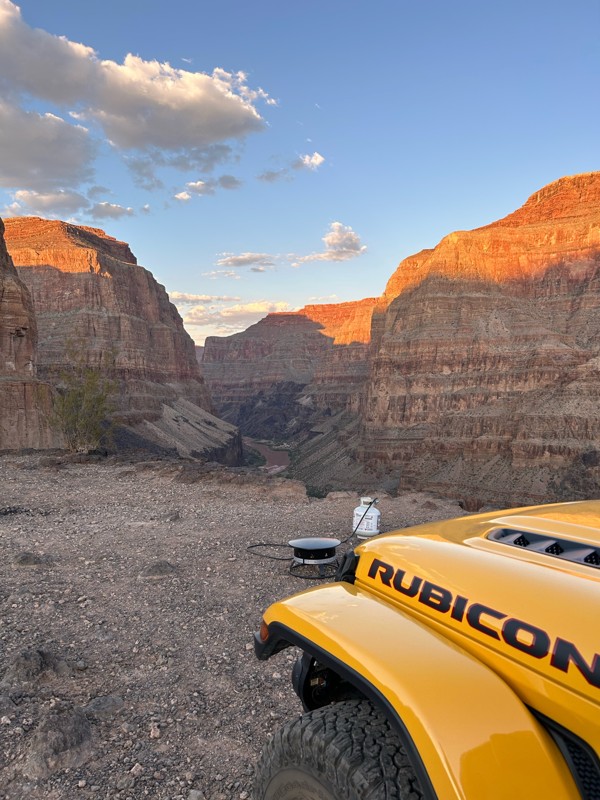
Arizona: Corral Lake Hero Photo
Scout Route Icon
5/5 (1 reviews)
Updated: 10/15/2024

Corral Lake

Jacob Lake, Arizona
Corral Lake derives its name from a large limestone sinkhole on its western end. Look closely through the trees, and you can see it. The trail goes through a pretty pine forest with open grassy meadows and glades. Dispersed camping is abundant and popular. There's a large camping area near the Half Mile Access Road North intersection.
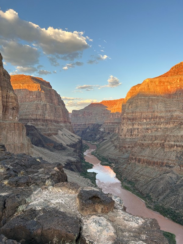
Arizona: FR 258 Hero Photo
Scout Route Icon
4/5 (1 reviews)
Updated: 10/15/2024

FR 258

Jacob Lake, Arizona
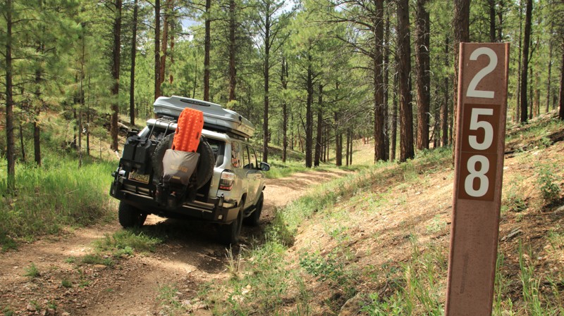
FR 258 is a tight little two-track trail running through a small and pretty canyon between FR 225 and FR 205. While easy, it is a bit more adventurous that most of the other area forest roads. There are four campsites along the way.