Region

West Desert

Utah

Offroad Trails in West Desert

A Region within Utah
3.5/5 (50)

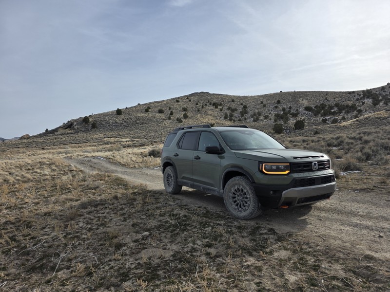
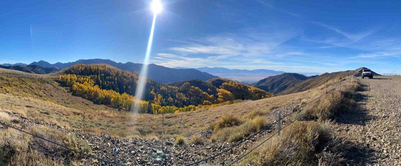
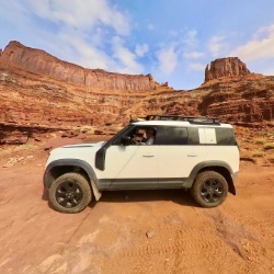
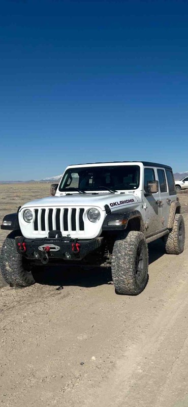
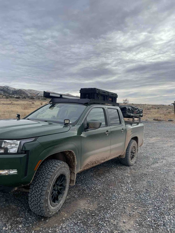
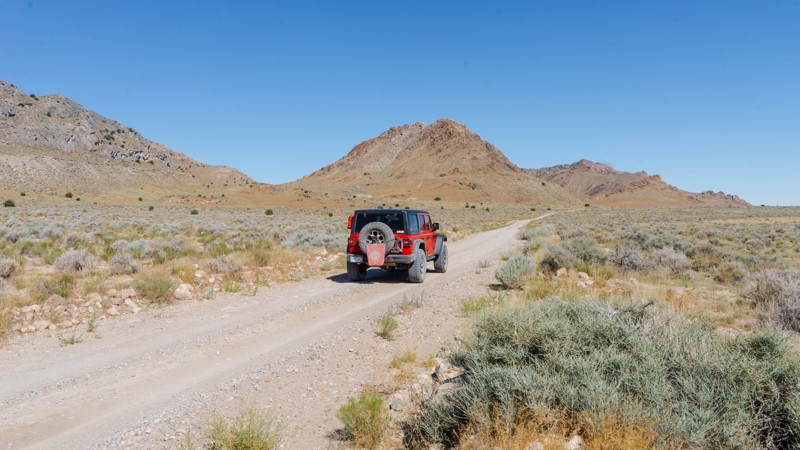
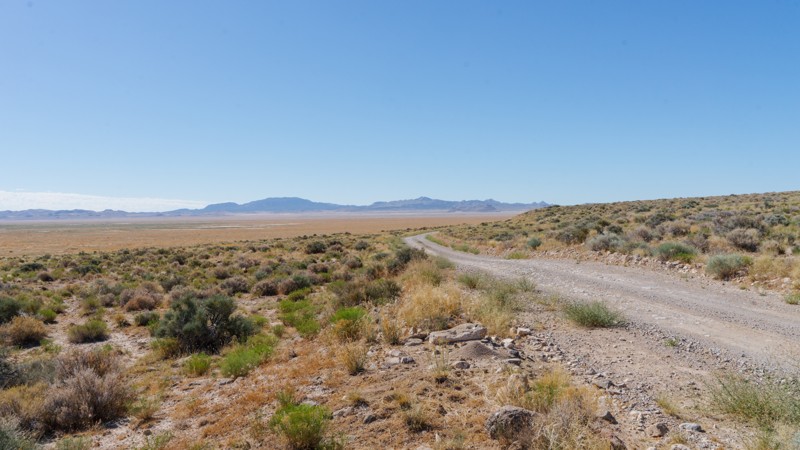
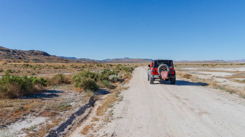
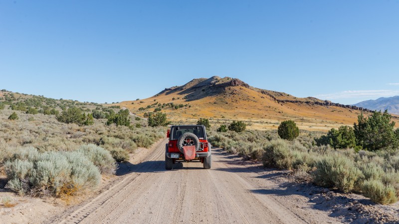
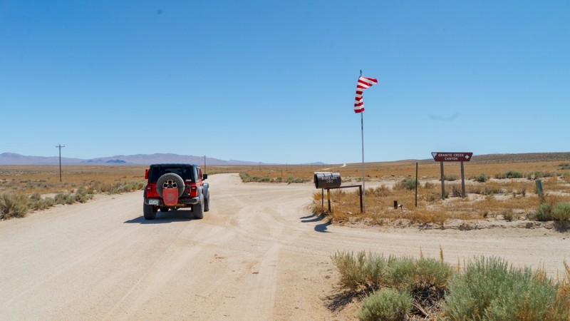
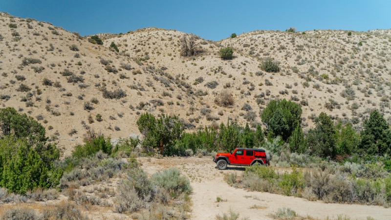
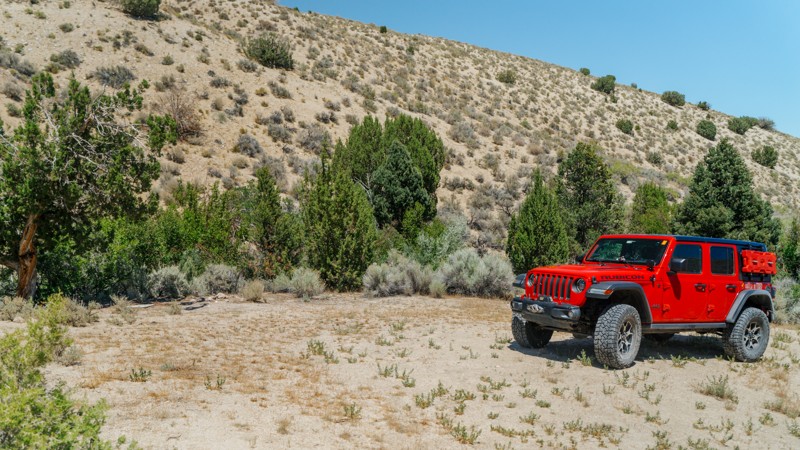
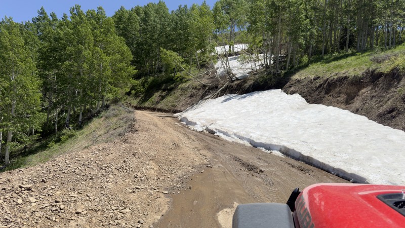
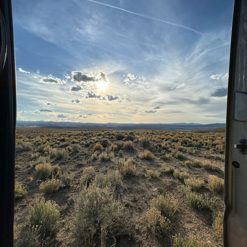
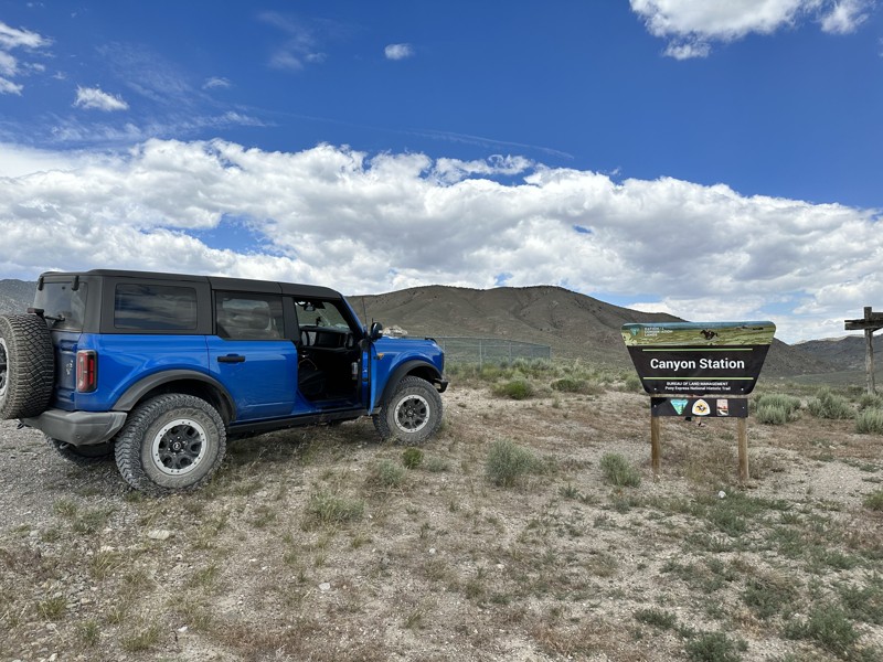
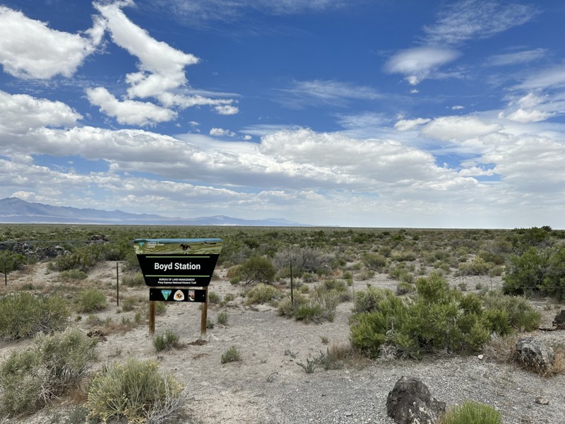
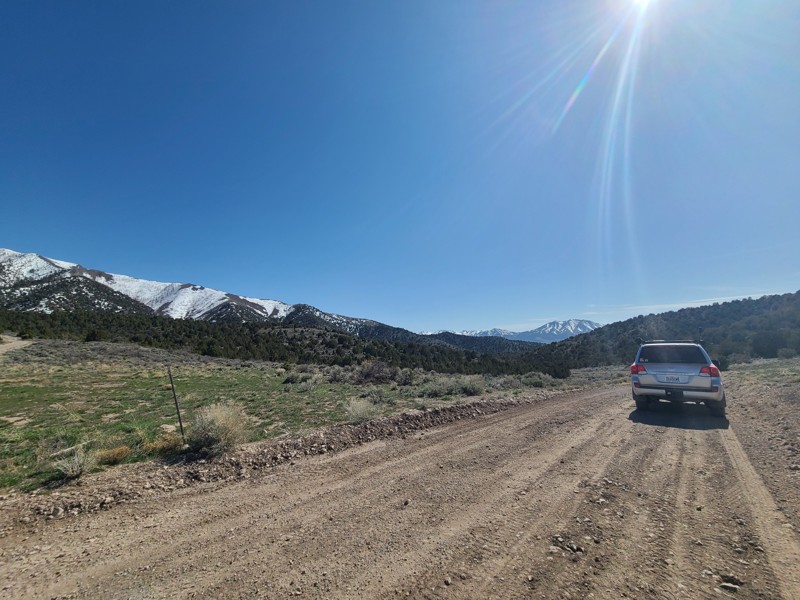
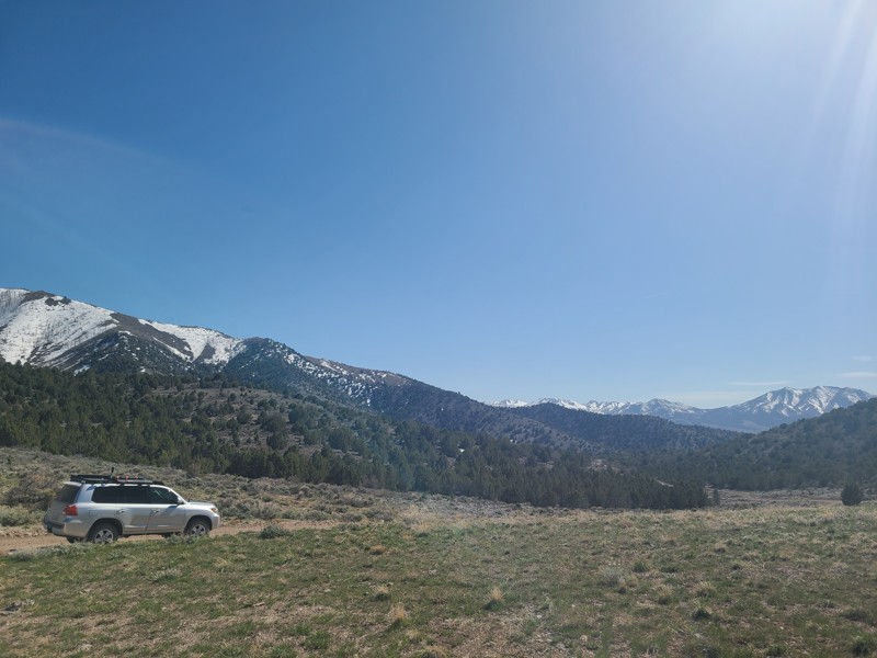
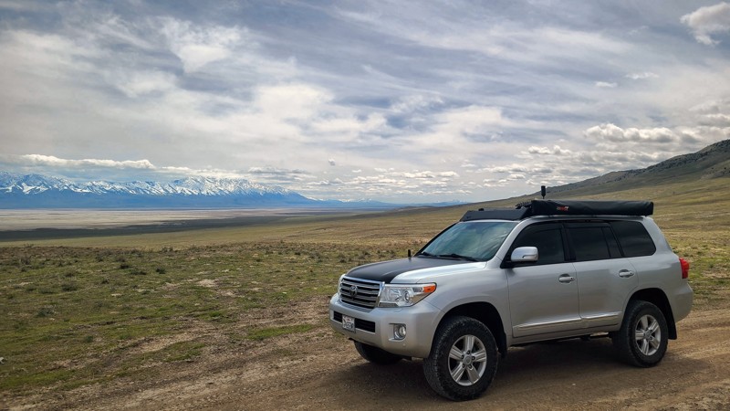
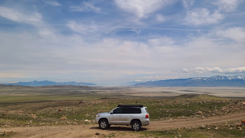
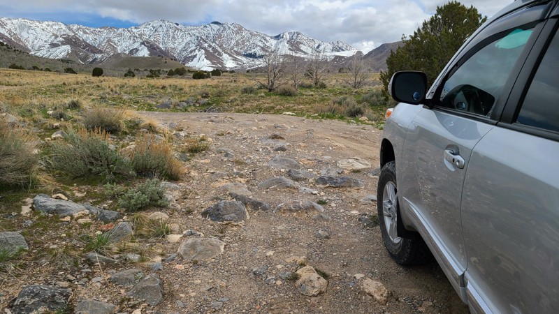
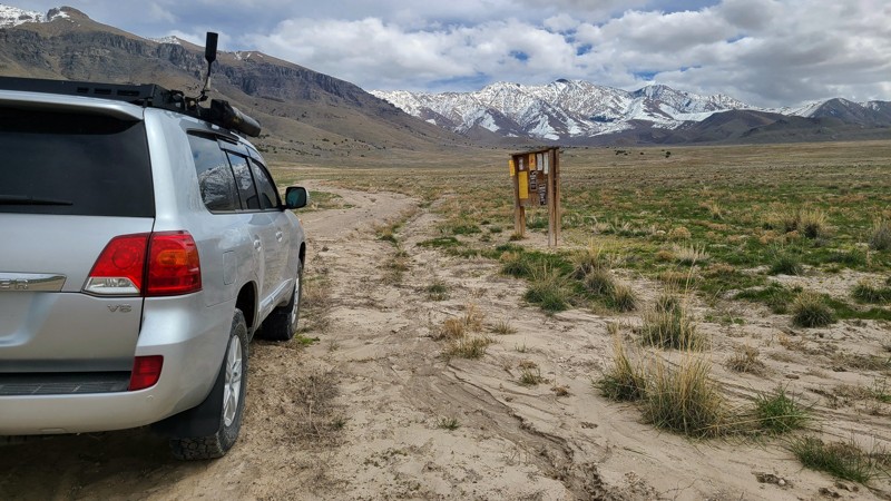
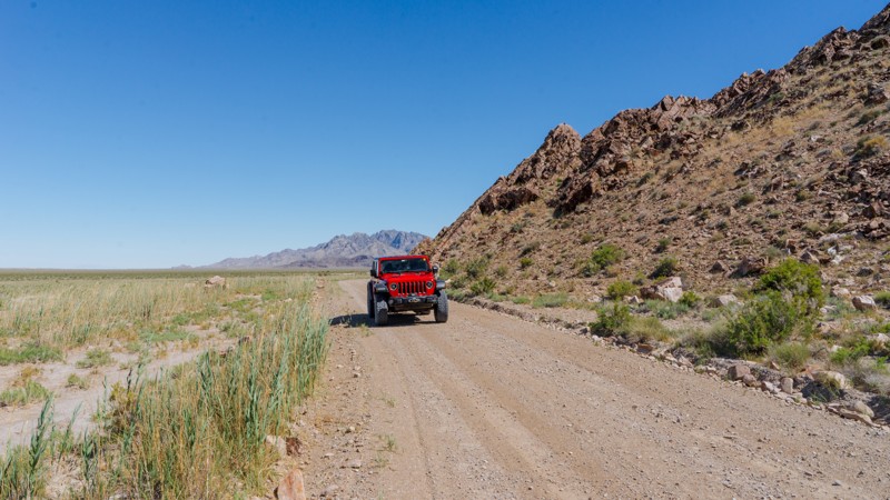
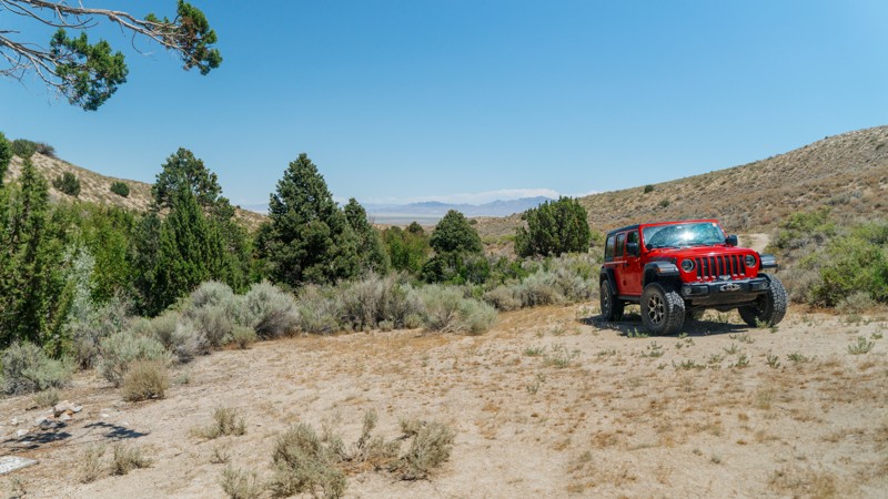
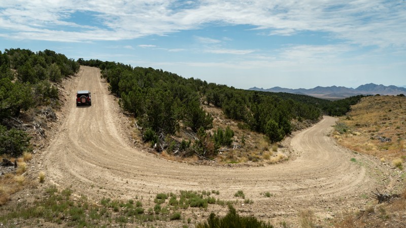
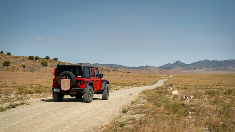
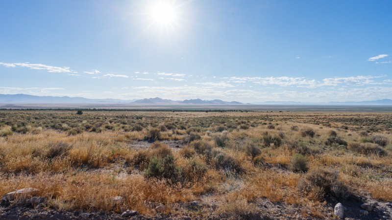
Spanning a good majority of northwest Utah, the West Desert is home to endless miles of dirt roads to please the overlander in each of us. With quick access from Salt Lake or Utah Valley, it is a popular destination for a weekend getaway when the city life catches up.

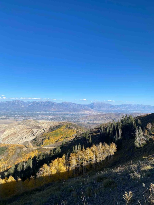
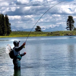
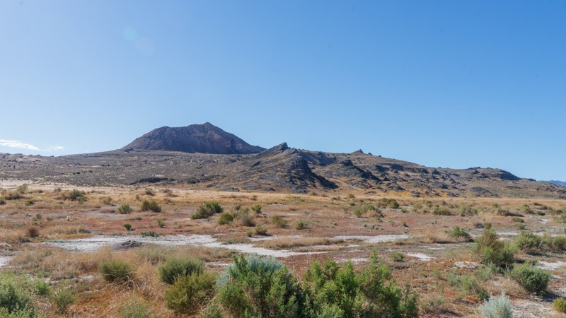
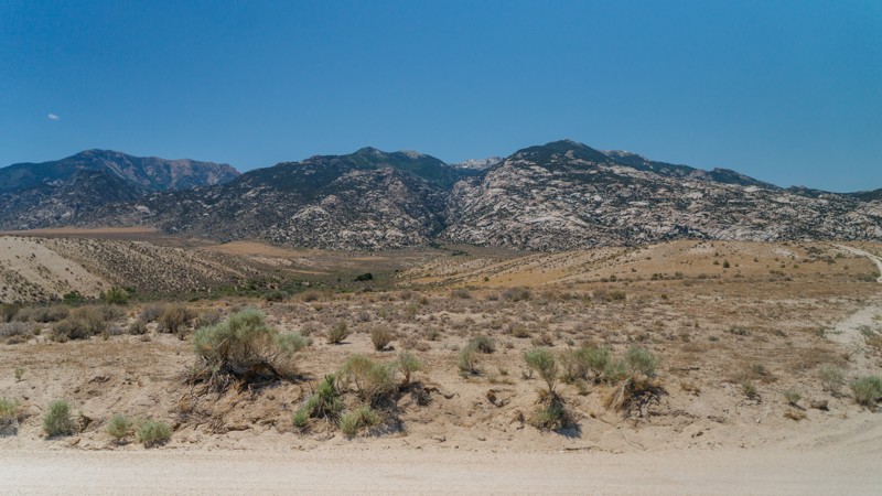
In addition to the amazing routes through the numerous small mountain ranges, the West Desert is home to a multitude of other recreation opportunities. Tucked between the peaks of random mountains often lie small lakes where fishing is quite rewarding. Hiking is also a common activity when visiting the less flat lands of the West Desert, with many trails leading to the peaks and providing 360-degree views of this expansive region.

Quite possibly the most famous parts of the West Desert are Topaz Mountain and the Dougway Geode Beds, where rockhounding can yield some fun and profitable rewards.

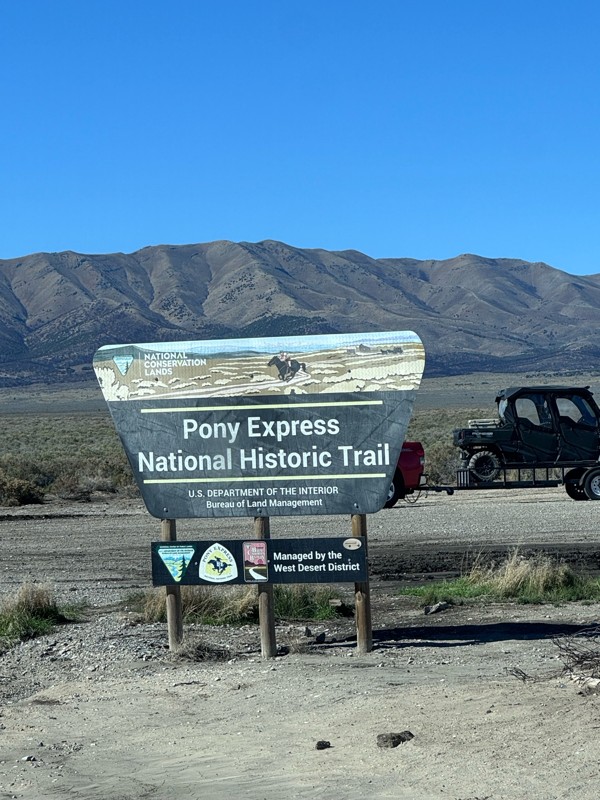
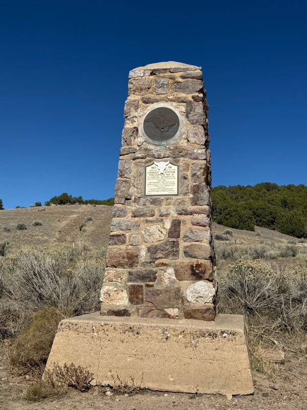
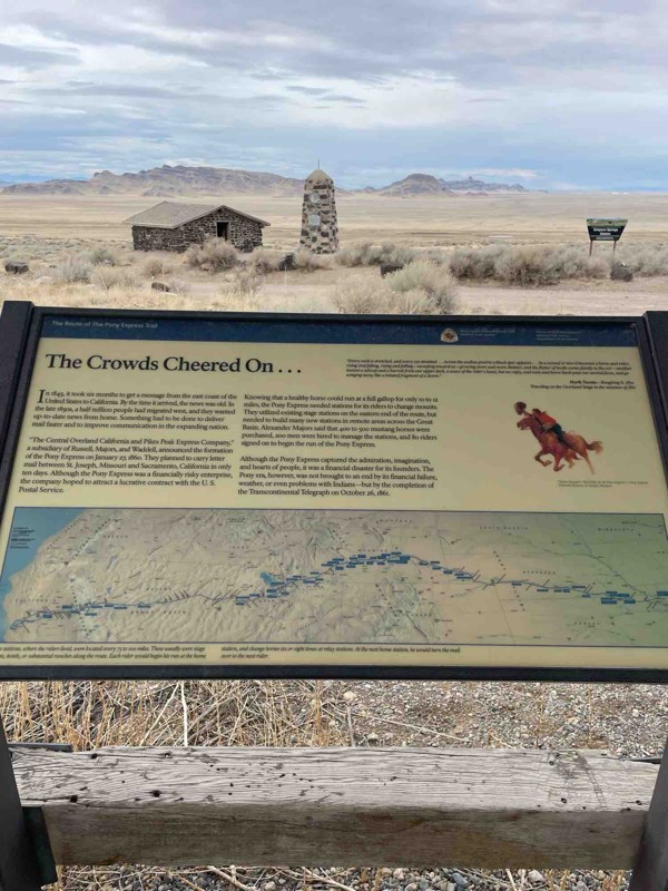
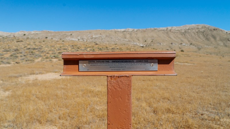
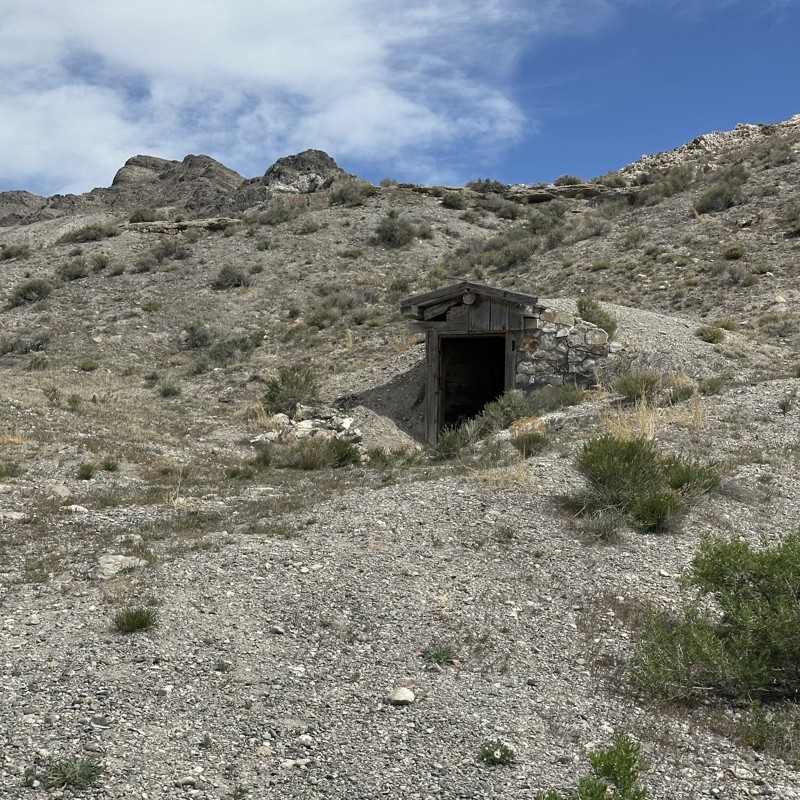
When it comes to off-roading in the West Desert, one thing comes to mind: The Pony Express. Long forgotten in time, this expansive region is home to incredible relics of the past, bringing back history lessons of the Old West and the early pioneers and outlaws who called these parts home.

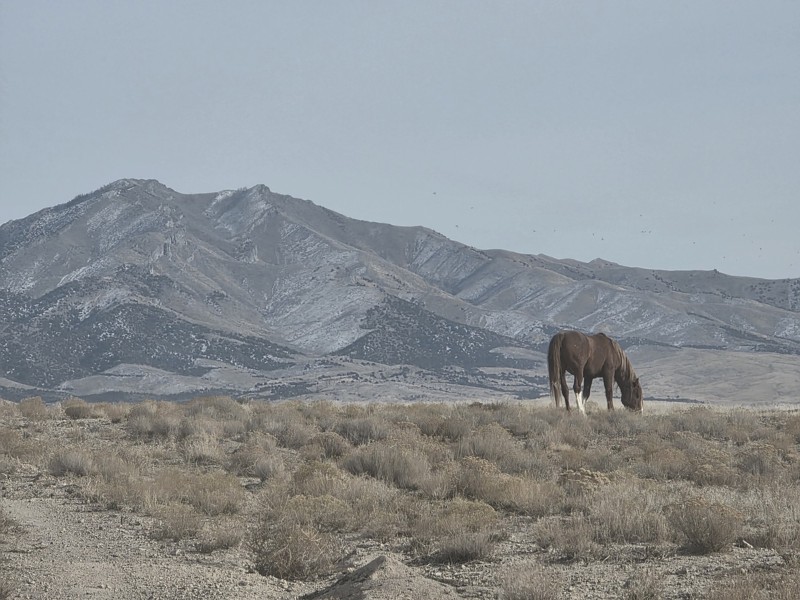
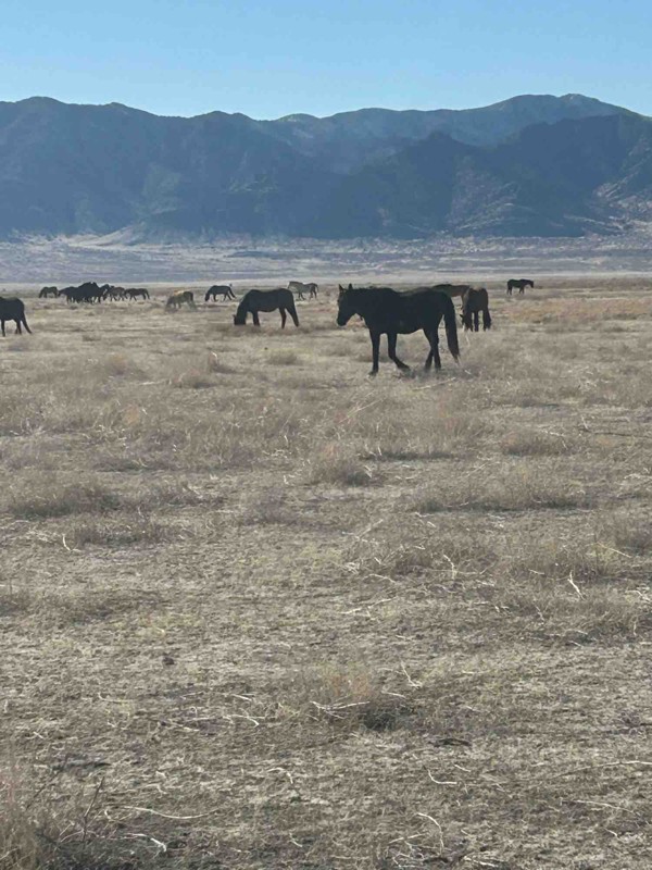
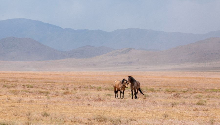
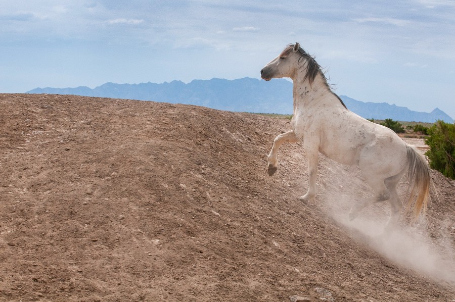
Lastly, northwestern Utah is home to a beautiful herd of wild horses. They are commonly spotted racing along the horizon, kicking up dust behind them as they enjoy the open-air freedom, much like many of the recreation users who enjoy the West Desert of Utah.
Top Reasons to Explore Here

Basemaps
Go All-Access to Unlock


TRAILS OFFROADâ„¢ TRAIL TYPES
Trail Guide
Full detailed write up with Advanced Rating System, Waypoints, Video, and more.
Scout Route
Lite version with highlights, camping, and hardest part documented. Vetted in person.
TRAIL DIFFICULTY RATINGS
easy (1-2)
Suitable for high clearance 2WD
moderate (3-4)
Best suited for a high clearance 4x4
difficult (5-6)
Best suited for a lightly modified 4x4
severe (7-8)
Best suited for a highly modified 4x4
extreme (9-10)
Best suited for specialized buggy type vehicles
LAYERS

Most Recent Trail Reviews

Most Popular

Search for Trails
Utah: West Dugway Mountain Road Hero Photo
Scout Route Icon
3/5 (1 reviews)
Updated: 10/15/2024

West Dugway Mountain Road

Dugway, Utah

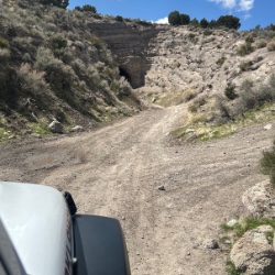
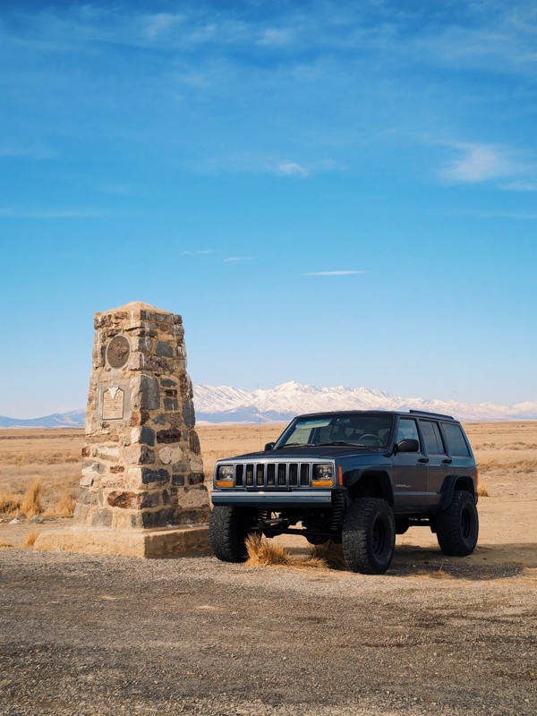
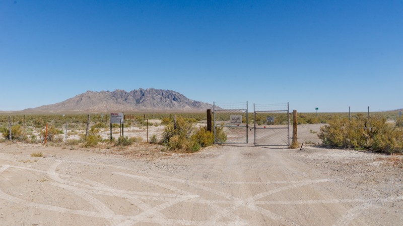
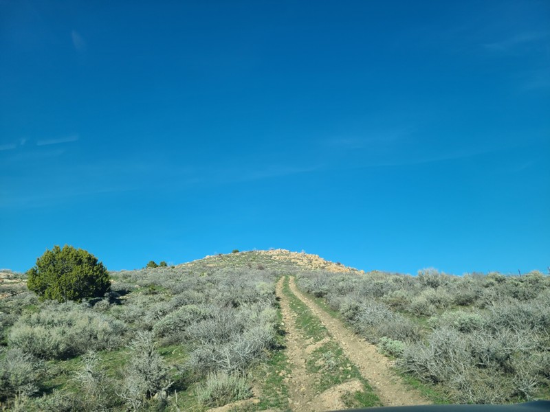
If you travel around the Dugway Range using Dugway Mountain Road (to the east), you'll more than likely also need West Dugway Mountain Road to complete the loop. This trail at the southern end starts just off the Pony Express and comes to a complete termination at a large gate and the fence line marking the large military area to the north of the mountain range. There are no obvious camping opportunities to be found along this track; your nearest option is likely near the Dugway Geode Beds (See Pony Express trail guide for location and details).

Utah: Goshute Canyon Access Hero Photo
Scout Route Icon
3/5 (1 reviews)
Updated: 10/15/2024

Goshute Canyon Access

Trout Creek, Utah

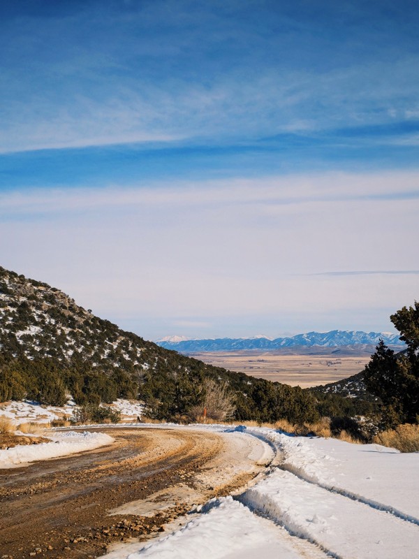
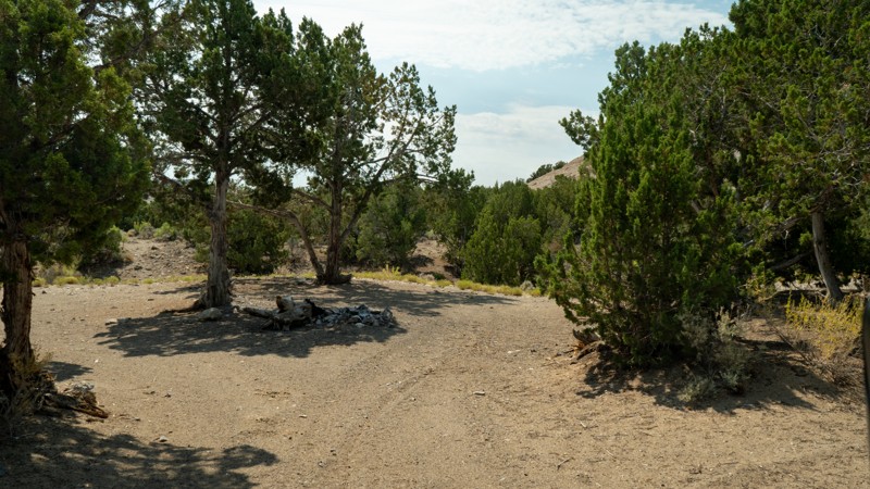
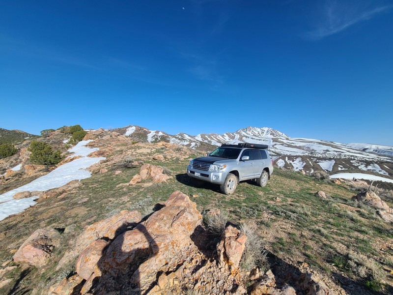
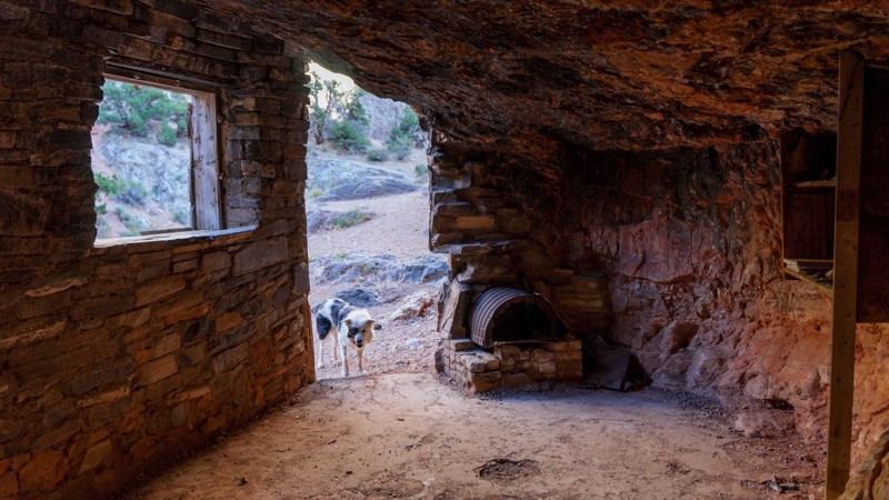
Goshute Canyon Access is a spur road leading away from the Callao CCC Campground. It follows Tom's Creek up in elevation for about a mile towards the Deep Creek Mountains Wilderness Study area. The trail dead-ends at a small campsite that is not the most level and is best for one vehicle. Pinstriping is guaranteed as the trail is narrow, and the brush has grown thick around the creek, eager for a water source. Tom's Creek flows in small waterfalls around the campsite, creating peaceful white noise if you stay there; sadly, they are hard to view through the trees and brush lining the creek. Old remnants of irrigation damming and holding tanks sit next to Tom's Creek, perhaps left from the Civilian Conservation Core projects.

Utah: Ericson Knoll Hero Photo
Scout Route Icon
2/5 (1 reviews)
Updated: 10/15/2024

Ericson Knoll

Vernon, Utah

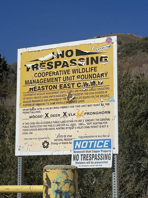
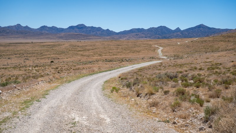
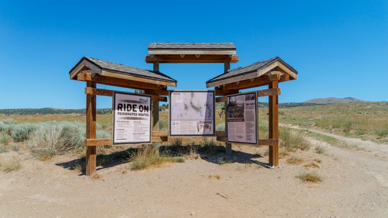
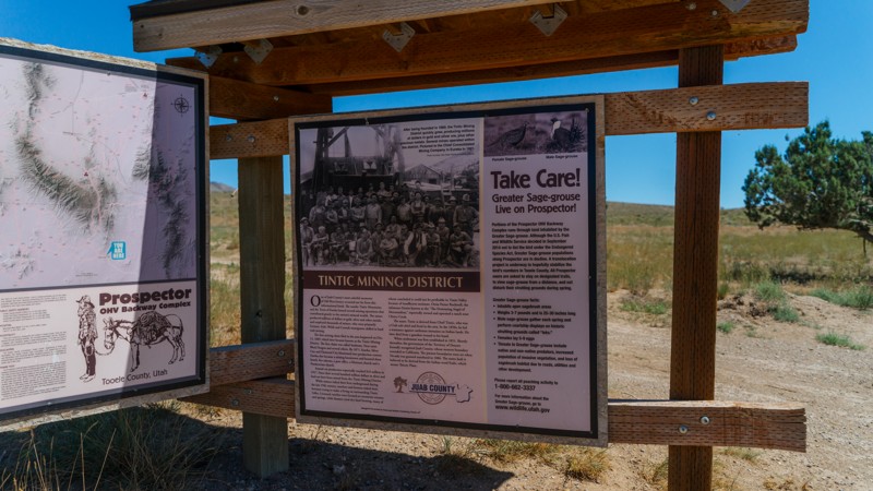
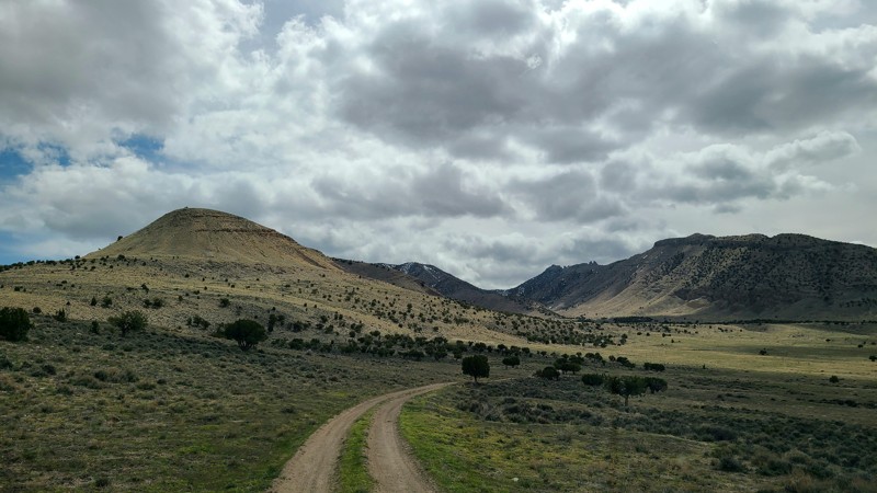
Running through the West Desert, Ericson Knoll is an occasionally maintained dirt and gravel road wrapping around its namesake feature. This trail connects Ericson Pass to the Weiss Highway in a different location, acting as a "scenic alternate" to completing Ericson Pass to the south. Although the majority of this trail runs through BLM land, no camping is observed directly off of the trail. However, many spurs heading into the small side canyons have a few dispersed options. This trail is also part of the large Prospector Trail Network, providing opportunities for an extended overland journey through the mining history of the West Desert.
Utah: South Cedar Mountain Road Hero Photo
Scout Route Icon
1/5 (1 reviews)
Updated: 10/15/2024

South Cedar Mountain Road

Dugway, Utah

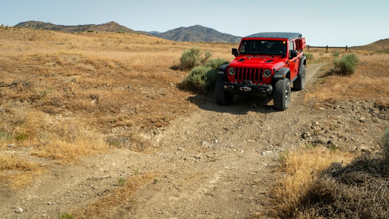
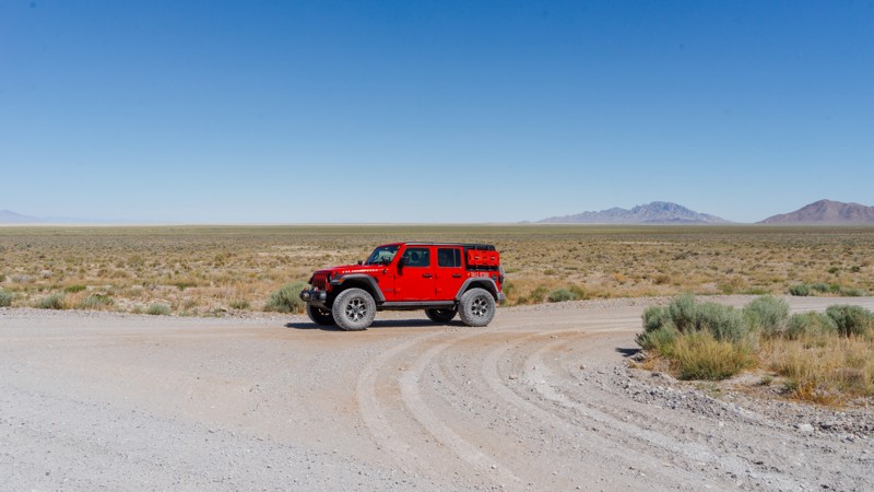
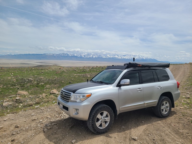
Running along the base of the Cedar Mountains, South Cedar Mountain Road is an easy, non-technical dirt road connecting the main Cedar Mountain Road to White Rock. This is an uneventful trail, with the hardest part being the small blind bends crossing occasional dry washes. Although this trail is on BLM land, no camping is observed.