Region

Rainbow Falls

Colorado

Offroad Trails in Rainbow Falls

A Region within Colorado
4.1/5 (267)

Rainbow Falls: Red Rocks, Forest Trails, and Front Range Adventure

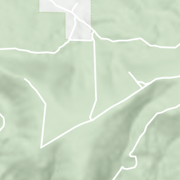
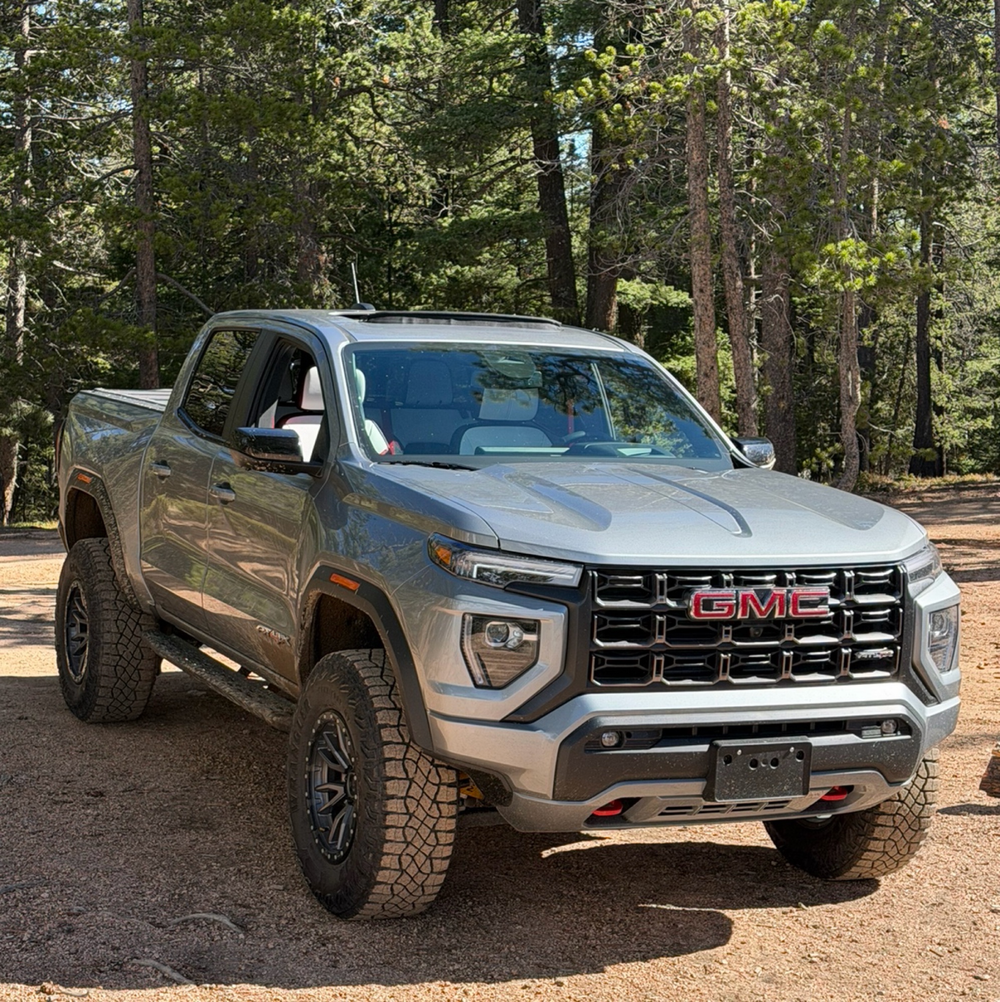
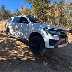
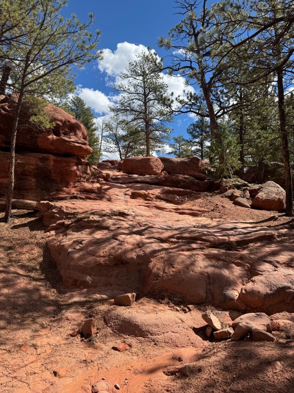
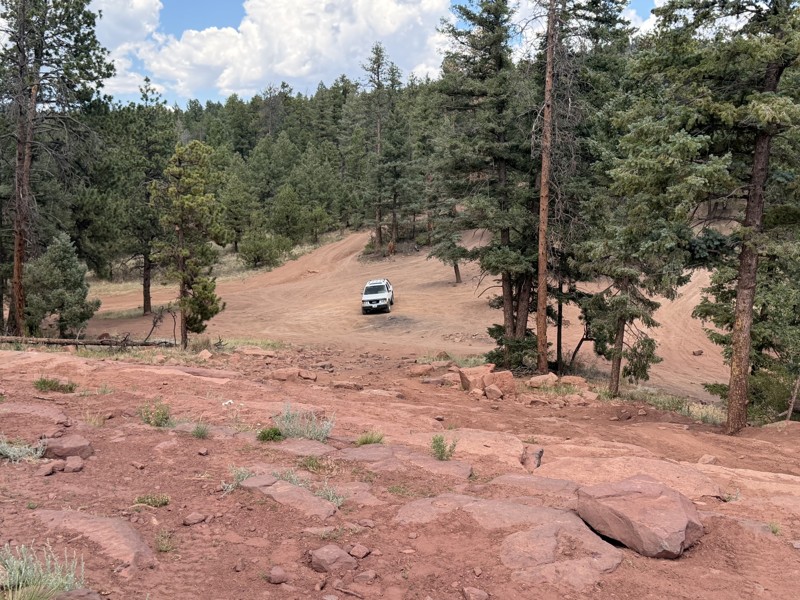
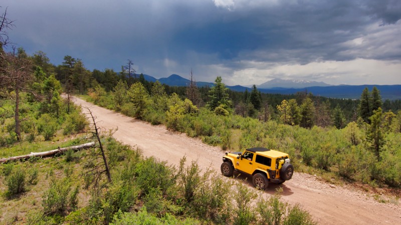
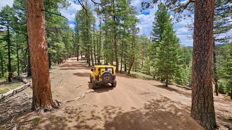
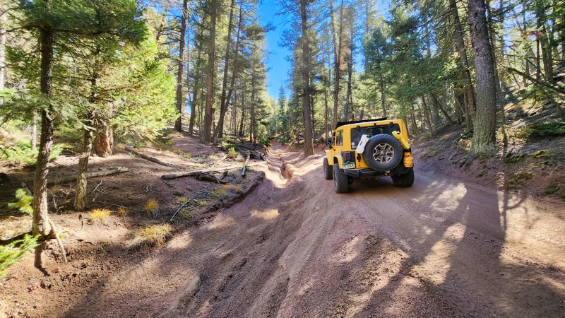
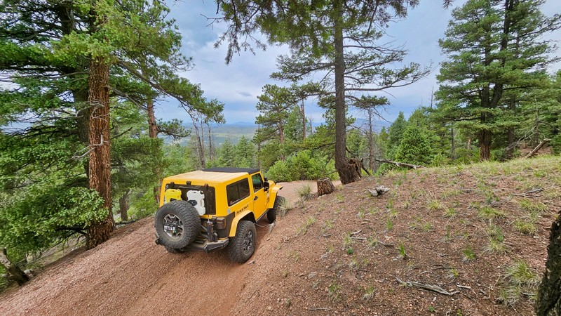
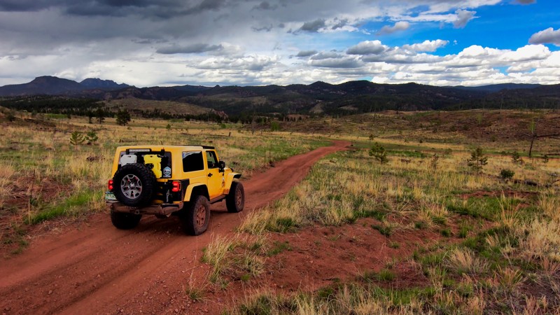
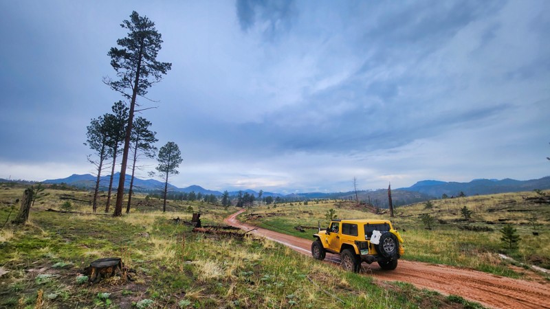
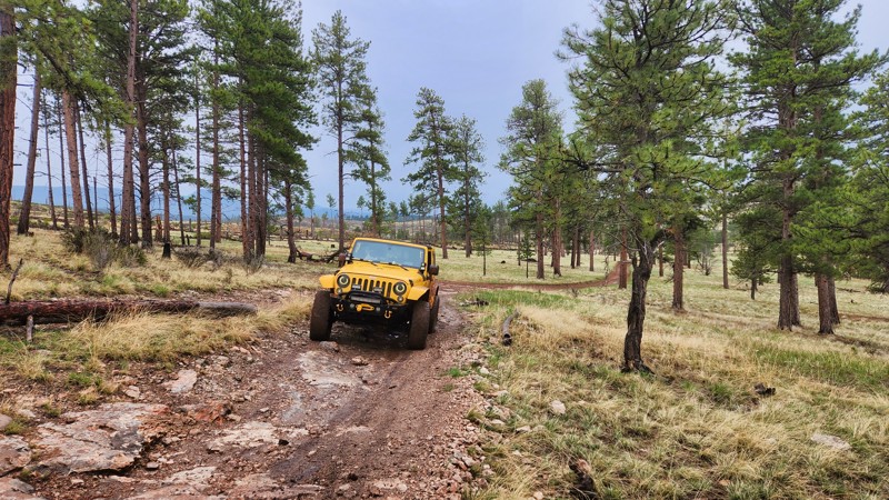
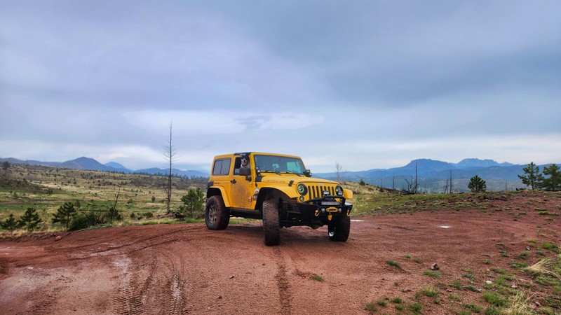
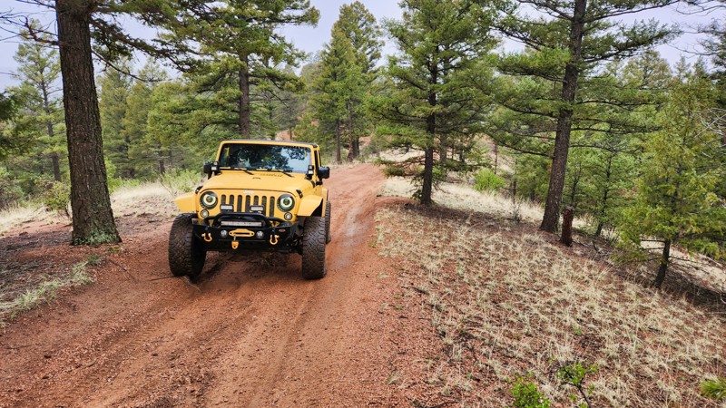
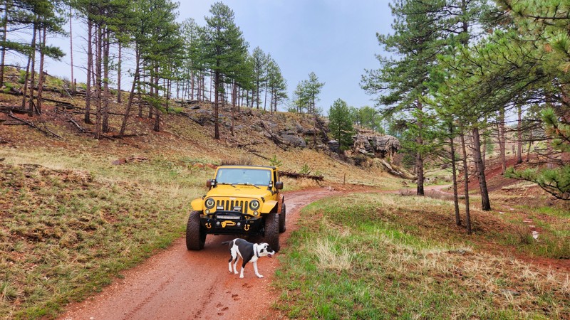
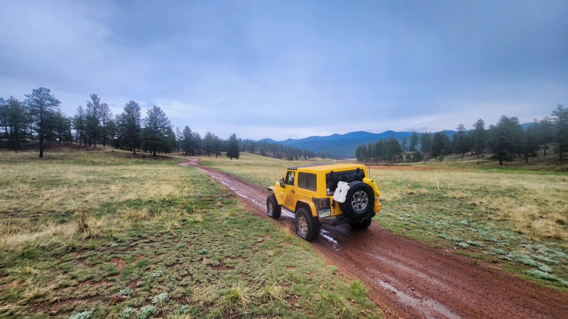
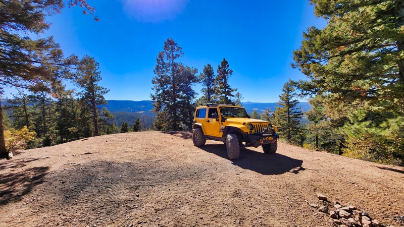
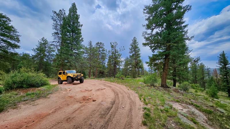
Located in the Pike National Forest south of Deckers, Colorado, Rainbow Falls is a popular off-road destination featuring an interconnected network of forest roads, rocky 4WD trails, and challenging sandstone obstacles. Surrounded by towering ponderosa pines, rolling hills, and distinctive red rock formations, this recreation area offers something for nearly every type of off-road enthusiast. From leisurely forest drives to technical rock crawling, Rainbow Falls is a favorite destination for Jeep owners, dirt bikers, ATV riders, and side-by-side enthusiasts looking for adventure close to Colorado's Front Range.

A Playground of Trails and Terrain

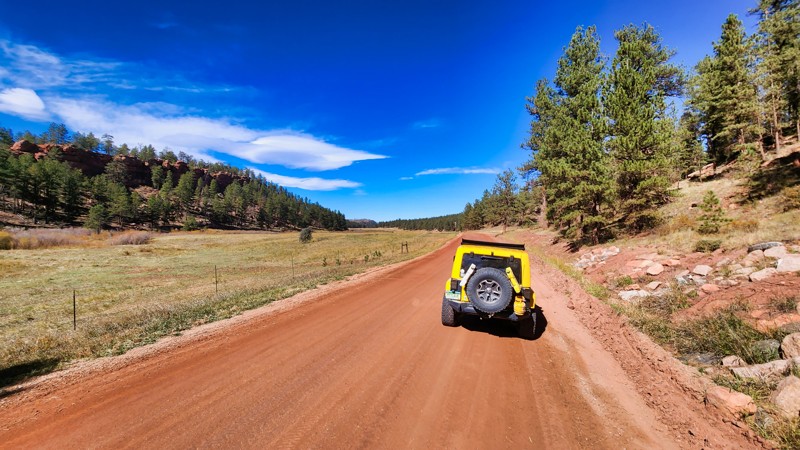
Rainbow Falls offers a diverse network of motorized routes that can be combined into loops of varying lengths and difficulty. Easy dirt roads wind through wooded hillsides and open meadows, while more challenging trails feature loose gravel, deep erosion ruts, exposed bedrock, and rocky climbs. The area's relatively moderate elevations make it an appealing alternative to Colorado's high mountain passes, offering a year-round riding season and convenient access from Denver and Colorado Springs.

Mini Moab and the Rocky Side of Rainbow Falls

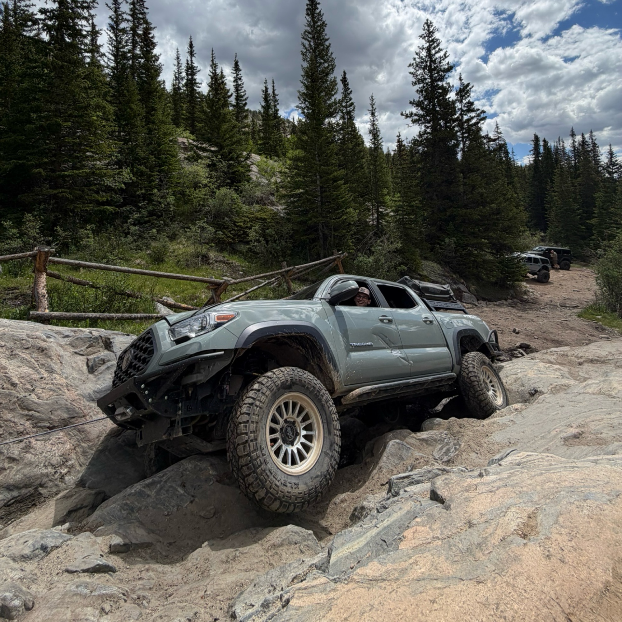
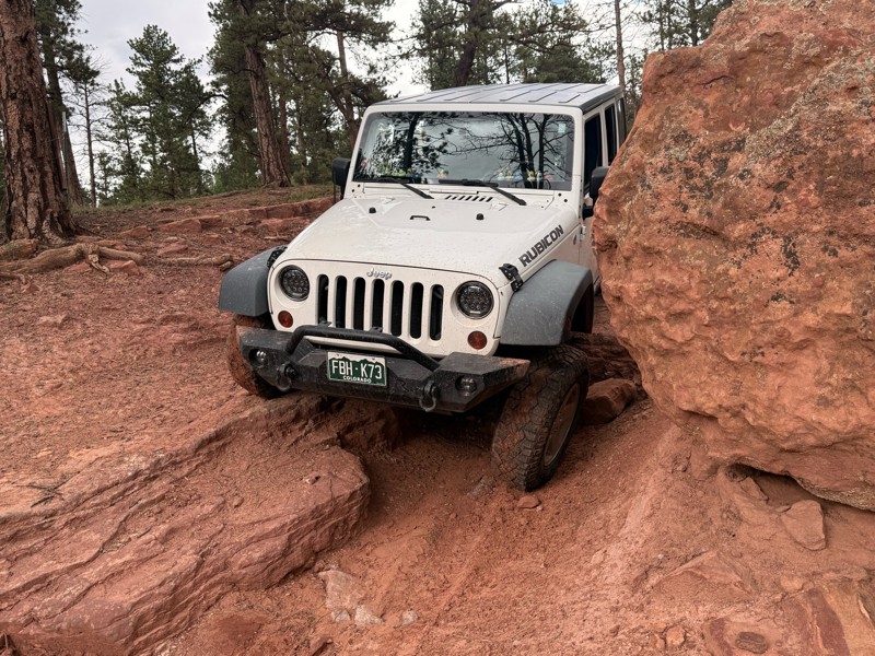
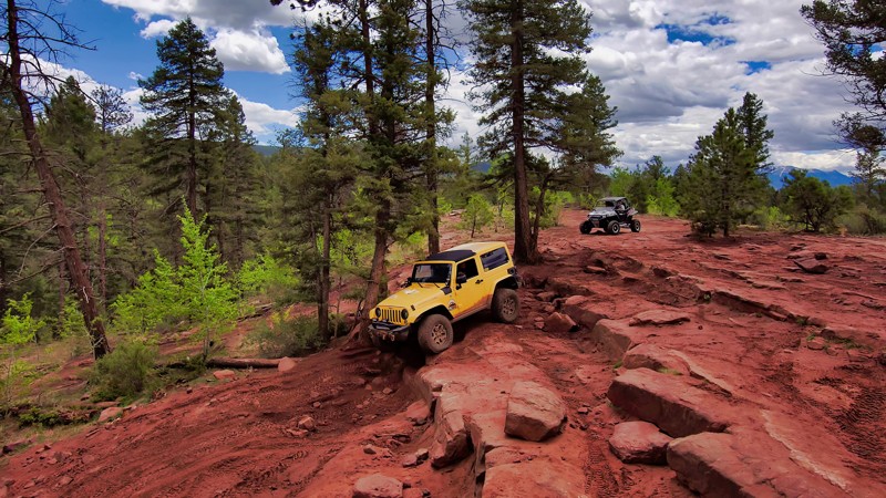
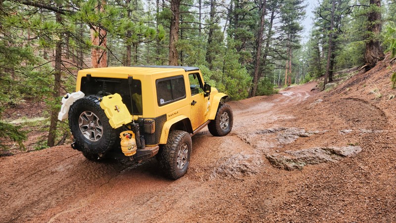
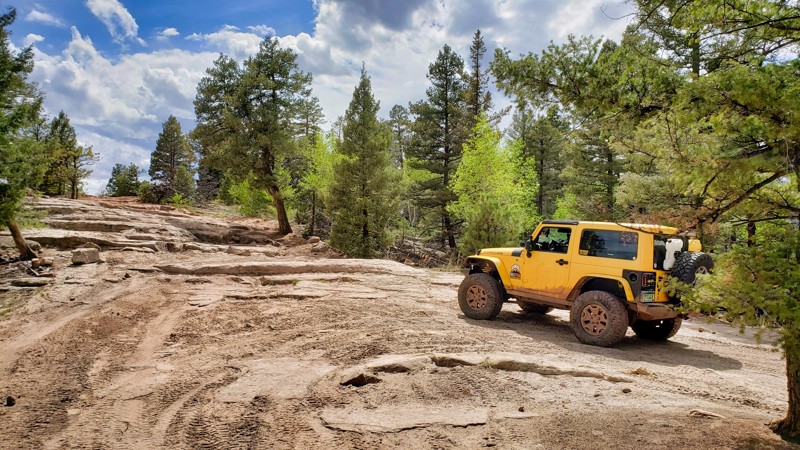
One of the area's most recognizable attractions is Mini Moab, also known as Moab Hill, where sandstone ledges and rock steps provide an exciting challenge for experienced drivers. This obstacle is located along Illinois Gulch. Connecting roads such as Long Hollow and Missouri Gulch allow visitors to build longer adventures, ranging from casual scenic drives to more demanding four-wheel-drive excursions.

Camping Beneath the Ponderosa Pines

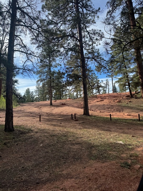
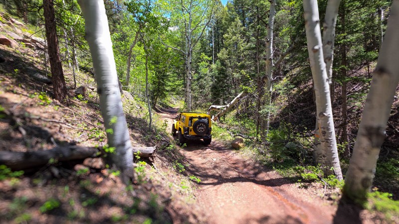
Beyond the trails, Rainbow Falls offers opportunities for dispersed camping throughout the surrounding national forest. Quiet forest clearings, shady pine groves, and convenient access to recreational routes make the area appealing for weekend camping trips. Whether spending a day exploring the trails or setting up camp for several days of off-road adventure, visitors can enjoy the rugged beauty of Colorado's foothills without traveling deep into the mountains.

Know Before You Go

Rainbow Falls is a designated motorized recreation area where route restrictions vary throughout the network. While many forest roads accommodate full-size 4WD vehicles, certain trails are limited to motorcycles, ATVs, or vehicles less than 50 inches wide. Some routes may also be subject to seasonal closures, and Colorado OHV registration or permit requirements apply where designated. Visitors should verify current trail designations, remain on established routes, and respect camping restrictions to help protect this heavily used recreation area.

Big Adventures Close to Home

With its combination of scenic forest roads, technical rock obstacles, accessible camping, and numerous trail connections, Rainbow Falls delivers a surprisingly diverse off-road experience in a relatively compact area. Its proximity to the Front Range makes it an ideal destination for beginners learning to navigate rough terrain, experienced drivers testing their skills, and families looking for a weekend outdoors. Whether tackling the sandstone ledges of Mini Moab or simply enjoying a winding drive through the forest, Rainbow Falls offers plenty of reasons to return.
Top Reasons to Explore Here

Basemaps
Go All-Access to Unlock


TRAILS OFFROAD™ TRAIL TYPES
Trail Guide
Full detailed write up with Advanced Rating System, Waypoints, Video, and more.
Scout Route
Lite version with highlights, camping, and hardest part documented. Vetted in person.
TRAIL DIFFICULTY RATINGS
easy (1-2)
Suitable for high clearance 2WD
moderate (3-4)
Best suited for a high clearance 4x4
difficult (5-6)
Best suited for a lightly modified 4x4
severe (7-8)
Best suited for a highly modified 4x4
extreme (9-10)
Best suited for specialized buggy type vehicles
LAYERS

Most Recent Trail Reviews

Most Popular

Search for Trails
Colorado: Flake Road aka Illinois Gulch Hero Photo
All-Access Icon
4.7/5 (84 reviews)
Updated: 07/30/2024

Flake Road aka Illinois Gulch

Westcreek, Colorado

Just north of Woodland Park, Flake Road is a bucket-list item for Wheelers in Colorado. It's a well-used trail that has, over time, branched different paths, each providing a unique challenge. The main attraction is "Mini-Moab," known for its Utah-like red rock formations. It's a significant, formidable obstacle that offers varying degrees of difficulty over large boulders and shelves, drawing off-road enthusiasts from all corners of the state. Part of the 15 square mile Rainbow Falls Trail Network in Pike National Forest, Flake Road is a popular spot open all year and can be busy in the summer with people testing the rigs. So, if you're up for a thrilling ride coupled with stunning views, Flake Road is your destination.

Colorado: Fern Creek Hero Photo
All-Access Icon
4.2/5 (44 reviews)
Updated: 07/13/2024

Fern Creek

Sedalia, Colorado

Surrounded by the expansive Rampart Range network, Fern Creek seems unassuming from its trailhead but provides an exciting connector for those seeking pockets of slightly more technical terrain. Between its start and finish, you'll find rolling whoop-die-doos, steep rocky descents, access to multiple ATV trails, and interesting boulder formations throughout. True to its name Fern Creek is situated in a gulch and roughly follows a small babbling creek, not notated on most maps, making the plant life quite lush. Add this trail to your list as you zig-zag around the Rampart Range to give a little spice to the day.

Colorado: Long Hollow Road Hero Photo
All-Access Icon
4.2/5 (45 reviews)
Updated: 07/10/2024

Long Hollow Road

Westcreek, Colorado

Long Hollow Road, part of the Rainbow Falls Trail Network from Rainbow Falls Road and Rampart Range Road, offers an enchanting journey through Colorado's dense forests. This rolling trail provides a peaceful escape with gentle climbs and descents, offering beautiful views and a sense of adventure without being too complicated. Ideal for campers, it is a convenient starting point to explore the surrounding trails, making it easy to enjoy the stunning Colorado landscapes.

Colorado: Hotel Gulch Hero Photo
All-Access Icon
4.3/5 (63 reviews)
Updated: 07/06/2026

Hotel Gulch

Woodland Park, Colorado

Hotel Gulch Road is more than just a connector between Highway 67 and Rampart Range Road, it’s a quiet, scenic drive through the heart of one of Colorado’s most unique research forests. Winding beneath tall stands of ponderosa pine, this route passes through the Manitou Experimental Forest, a 16,000-acre living laboratory dedicated to forest and watershed science since the 1930s. If you keep an eye out, you’ll pass by a small cluster of beautiful stone buildings built by the WPA, a reminder of the New Deal era and the deep roots of conservation in this region.

The drive itself is easy and peaceful, with gentle grades and sweeping turns that invite you to take it slow. A few dispersed campsites are tucked along the route, offering a great overnight option for anyone exploring the southern Rampart Range area. It may not have bold obstacles or dramatic overlooks, but Hotel Gulch offers something quieter. An invitation to unwind, explore, and appreciate a corner of the forest where science and solitude go hand in hand.

Colorado: Illinois Gulch Hero Photo
All-Access Icon
4.1/5 (31 reviews)
Updated: 05/26/2024

Illinois Gulch

Woodland Park, Colorado

Illinois Gulch is a slightly rough picturesque trail in the Rainbow Falls area of Colorado. Easy to access yet less crowded than the nearby Flake Road, it's perfect for those looking for a peaceful weekend getaway, complete with numerous well-developed campsites. Illinois Gulch is a gateway to Long Hollow Road and the 15-square-mile Rainbow Falls Trail Network. However, this mild trail becomes significantly more challenging with fresh or ice-packed snow during winter, requiring extra caution. Despite its roughness, Illinois Gulch remains an alluring destination for newbies and seasoned drivers seeking memorable off-roading adventures while camping amidst nature's beauty.

Colorado: Rainbow Falls Road Hero Photo
Scout Route Icon
2/5 (3 reviews)
Updated: 03/27/2026

Rainbow Falls Road

Westcreek, Colorado
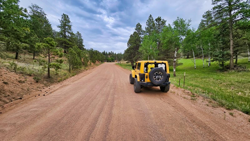
Rainbow Falls is an easy-graded Forest Service Road that leads into the Rainbow Falls network of trails, including Flake Road (AKA Illinois Gulch) and Long Hollow Road. The trail has despersed camping and is a great launching point for the more popular trails in the area.
Colorado: Turkey Track Road Hero Photo
All-Access Icon
3.4/5 (16 reviews)
Updated: 12/10/2022

Turkey Track Road

Westcreek, Colorado
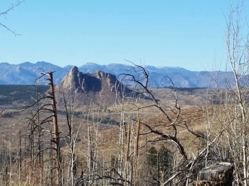
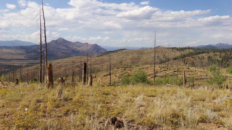
This 4x4 route winds in and out of the burn scar from the infamous Hayman Fire. The beginning of the trail provides access to a very popular, informal target shooting area and the spur along the top of the ridge features spectacular views of Pikes Peak and the burn area. There is one hill that can be mildly challenging for stock rigs but careful tire placement will get you through it. This is a more interesting route to the Rule Ridge trailhead than the standard county roads and you can combine this trail with other trails in the area to make a full day of offroad adventure.
Colorado: Missouri Gulch Hero Photo
All-Access Icon
4.2/5 (26 reviews)
Updated: 07/03/2024

Missouri Gulch

Woodland Park, Colorado

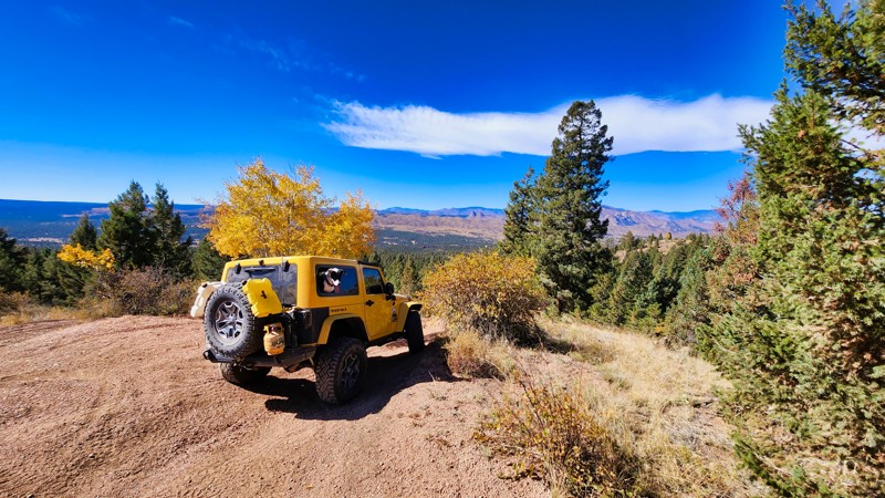
Missouri Gulch Road, part of the Rainbow Falls Trail Network, offers a charming drive with its rolling terrain and brief scenic moments. This trail is especially magical when the plentiful aspens turn golden in the fall, making it a perfect spot for leaf peeping. Enjoy a peaceful and visually rewarding journey through Colorado’s natural beauty on Missouri Gulch Road.

Colorado: Quarry Road Hero Photo
All-Access Icon
4.8/5 (20 reviews)
Updated: 06/22/2024

Quarry Road

Woodland Park, Colorado

Quarry Road is a hidden treasure in the Rainbow Falls Trail Network near Woodland Park, Colorado. It's a moderate trail with a significant long rock climb challenge. This climb tests new and experienced drivers, but it's easier than the nearby Mini-Moab on Flake Road. Once you conquer the climb, you're rewarded with a nice drive through the Colorado forest with scenic views of the Front Range and Pikes Peak. With challenges and beauty, Quarry Road is a must-visit for off-roaders.

Colorado: Overlook Road Hero Photo
Scout Route Icon
4/5 (3 reviews)
Updated: 04/24/2026

Overlook Road

Westcreek, Colorado
This short trail connects Fern Creek to Missouri Gulch and has some great scenery when traveling from east to west. There wasn't any camping observed on the trail, though dispersed camping is allowed in this area. The rutted dirt road should be pretty easy for most drivers with a high-clearance vehicle.
Colorado: Mark Road Hero Photo
Scout Route Icon
3.4/5 (16 reviews)
Updated: 08/31/2026

Mark Road

Westcreek, Colorado

This short trail connects Fern Creek and Missouri Gulch. It's a rutted drive-through forest with some deep cuts into the roadway that don't present much of a challenge but can make this trail narrow in spots. Dispersed camping is allowed in this area, but no established sites were seen along the way, and it may be too narrow to be a good area to camp.

Colorado: Lower John's Gulch Hero Photo
All-Access Icon
3.3/5 (8 reviews)
Updated: 11/27/2023

Lower John's Gulch

Woodland Park, Colorado

Lower John's Gulch (FS Road 345) is located within the Pike National Forest approximately 25 miles northwest of Colorado Springs and nine miles north of Woodland Park. The Pike National Forest contains hundreds of trails which provide a broad spectrum of outdoor recreational opportunities. This area is popular among OHV users, mountain bikers, hikers, and equestrians. The trail network includes mild trails suitable for stock vehicles (it is not uncommon to see ordinary passenger sedans and minivans on some trails) in addition to genuine 4WD tracks such as Balanced Rock Road (FS 322), Hotel Gulch (FS 346), and Missouri Gulch (FS 347). Accessibility and panoramic mountain views are the greatest attractions to this area.

Colorado: What Hero Photo
All-Access Icon
4.4/5 (7 reviews)
Updated: 06/05/2022

What

Woodland Park, Colorado
Although this trail is relatively short and not a destination in and of itself, if you are in the Rule Ridge area, it is definitely worth the side trip to run it. Moderately steep hill climb on loose, gravely dirt and an equally exciting descent on the other side give you a little fun behind the wheel. Probably the best features of this little gem, though, are the spectacular views of the recovering burn scar from the infamous Hayman Fire. Many young aspens are filling out all over the hillsides as well as grasses, small shrubs, and some young pines. The two viewpoints along the top of the ridge offer excellent opportunities to enjoy the beauty of Mother Nature healing herself.
Colorado: Spruce Road Hero Photo
Scout Route Icon
1/5 (1 reviews)
Updated: 10/15/2024

Spruce Road

Westcreek, Colorado

County Road 79, also known as Spruce Road, is a straightforward county road that leads directly to the entrance of Missouri Gulch. While this route may not offer scenic vistas or camping opportunities, its primary value lies in its practicality, providing direct access for those looking for an alternative way into the Rainbow Falls Trail Network. The road is well-maintained even during winter months, with no concerns along the way.

Colorado: Around Hill Road Hero Photo
Scout Route Icon
4/5 (2 reviews)
Updated: 04/22/2026

Around Hill Road

Westcreek, Colorado

Around Hill Road provides a rugged trail experience with its narrow, rutted road and shelfy areas, providing some scenic views while connecting Missouri Gulch Road and Long Hollow Road. The route allows camping per the MVUM, though no established sites were seen.

Colorado: Laura Lane Road Hero Photo
Scout Route Icon
3/5 (2 reviews)
Updated: 10/15/2024

Laura Lane Road

Westcreek, Colorado
Laura Lane Road is a side trail to the area commonly referred to as Rainbow Falls near Woodland Park. This trail is a pleasant drive with great scenery because of the Hayman Burn and allows you to get away from the crowds. Dispersed camping is allowed, but no sites were seen.
Colorado: Sarah Road Hero Photo
Scout Route Icon
2/5 (1 reviews)
Updated: 10/15/2024

Sarah Road

Westcreek, Colorado

At the edge of the Rainbow Falls area, Sarah Road is a bit of an odd duck because it used to be a circular trail and now stops in the middle of fields on both sides of a large "C" that makes up the road now. The old trail traveled too close to the river and is closed to motorized usage. However, you can still run the rest of this easy trail, and it has great camping near the river.

Colorado: Linda Spur Road Hero Photo
Scout Route Icon
3/5 (2 reviews)
Updated: 04/21/2025

Linda Spur Road

Westcreek, Colorado

Linda Spur is a rough gem in an area of the Pike National Forest where most trails are flat. As you ascend the trail, you enter a grove of trees and climb over rocks that can be difficult in wet weather. Once at the top, there are views from an isolated campsite well away from the crowds.

Colorado: Jake Road Hero Photo
Scout Route Icon
3/5 (1 reviews)
Updated: 10/15/2024

Jake Road

Westcreek, Colorado

Jake Road skirts the outside of this small trail network just north of Rainbow Falls. After climbing a small hill, the trail treats you to views of the surrounding mountains from a comfortable campsite. These trails are a little to speak of now, but as the forest regrows around them from the 2002 Hayman burn scar, they will get more interesting.

Colorado: Hill Top Road Hero Photo
Scout Route Icon
2/5 (1 reviews)
Updated: 10/15/2024

Hill Top Road

Westcreek, Colorado

Hill Top Road is a short out-and-back spur off the popular Rainbow Falls trail network in the Pike National Forest. The easy trail climbs to a great camping spot overlooking the valley below.

Colorado: Linda Road Hero Photo
Scout Route Icon
3/5 (1 reviews)
Updated: 10/15/2024

Linda Road

Westcreek, Colorado

Linda Road is part of the small network of trails in the burn scar just north of the Rainbow Falls Trail Network in the Pike National Forest. This easy mile-long road runs around the area's outside edge. While dispersed camping is permitted, there were no established campsites along the trail.

Colorado: Drury Road Hero Photo
Scout Route Icon
2/5 (1 reviews)
Updated: 10/15/2024

Drury Road

Westcreek, Colorado

Drury Road is a short spur ending at a gate where the trail becomes restricted to bikes and ATVs. The trail has a couple of great views along it but has no camping. The trail ends at the gate. Do not go forward on the road even if the gate lock has been cut or removed.

Colorado: Forest Service 344.B Hero Photo
Scout Route Icon
1/5 (2 reviews)
Updated: 10/15/2024

Forest Service 344.B

Westcreek, Colorado

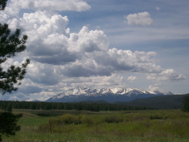
Forest Service Road 344.B, a quaint camping spur off Flake Road, offers a serene getaway with spectacular views of Pike's Peak. This short out-and-back road is ideal for campers looking to escape into nature and enjoy views of Pike's Peak. Nestled just off Flake Road, it provides a picturesque backdrop for a peaceful retreat outdoors.

Colorado: Forest Service 348.G Hero Photo
Scout Route Icon
3/5 (1 reviews)
Updated: 10/15/2024

Forest Service 348.G

Westcreek, Colorado

Forest Service 348.G is a short out and back camping spur off Long Hollow Road, specifically designed for campers. This secluded trail offers a quiet retreat for campers looking to enjoy the tranquility of the surrounding nature, making it an ideal choice for those seeking a peaceful outdoor experience away from the busier Long Hollow Road.