Region

Big Bear

California

Offroad Trails in Big Bear

A Region within California
4.7/5 (1252)

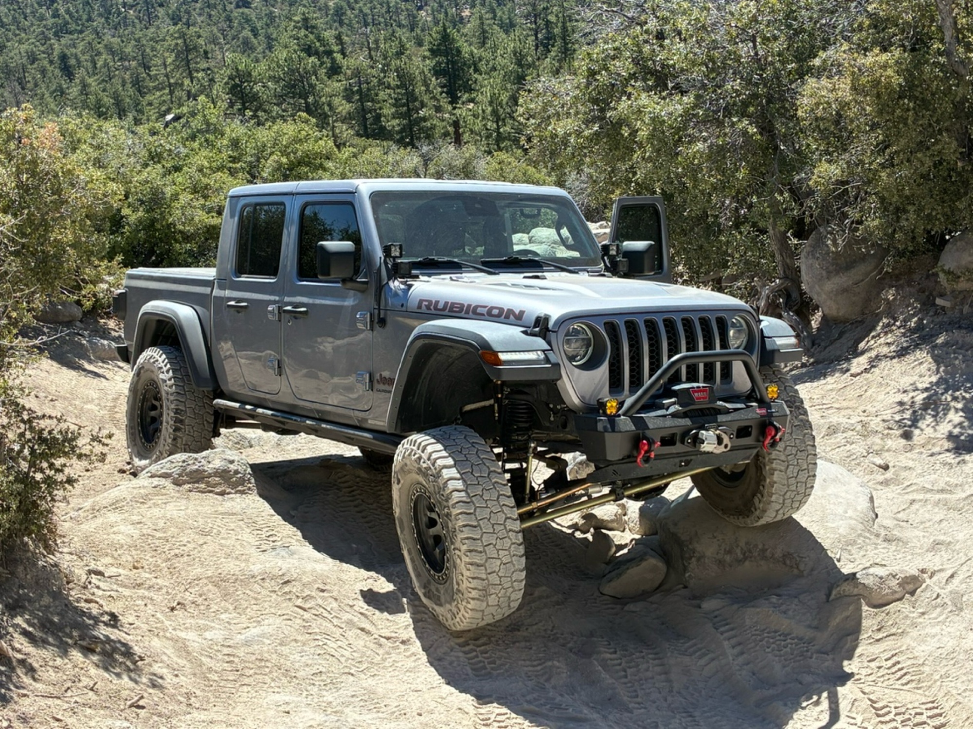
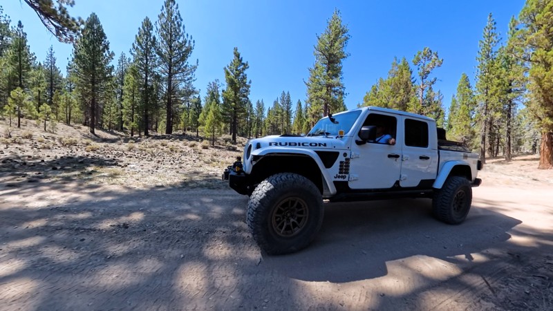
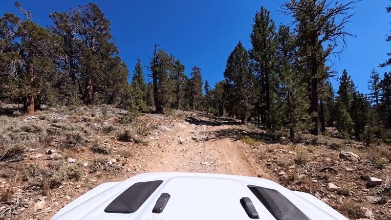
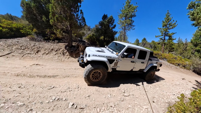
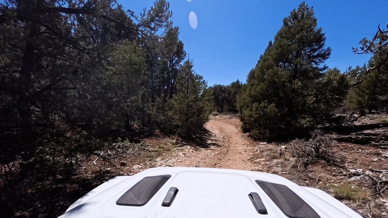
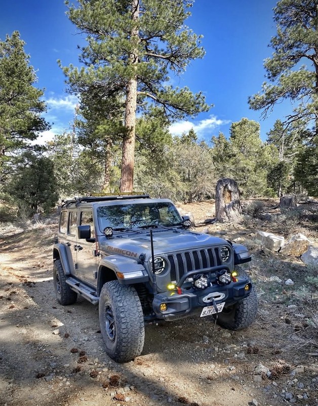
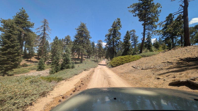
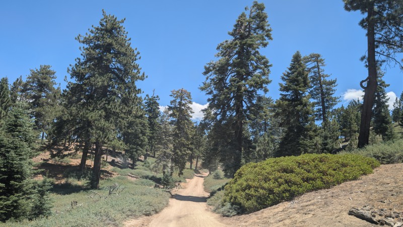
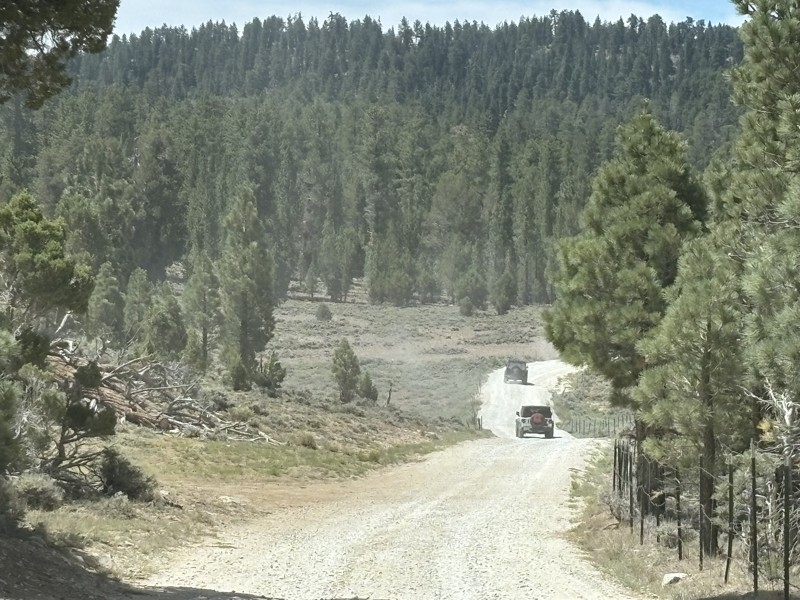
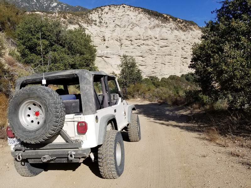
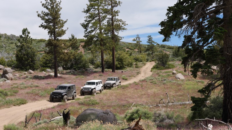
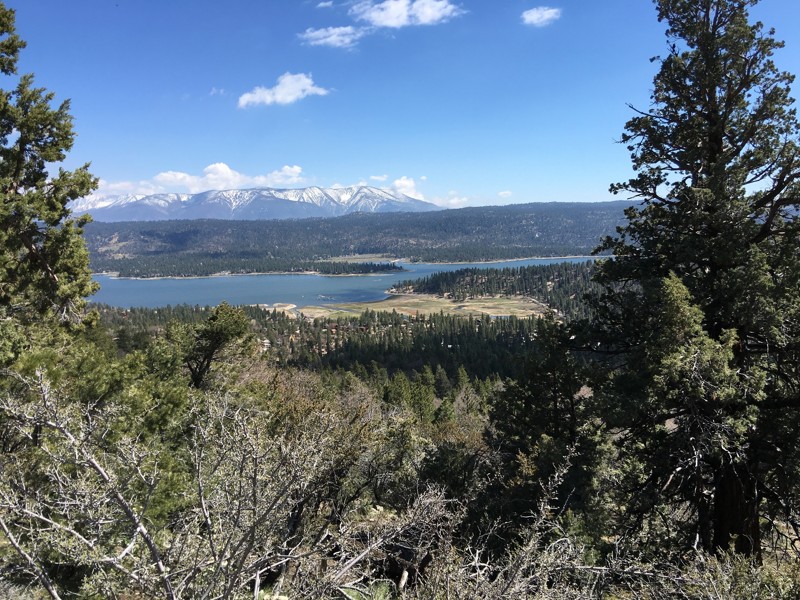
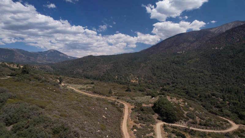
Big Bear is the ultimate mountainous getaway accessible to the masses of Southern California. It is accessible both in its geographic proximity as well as its variety of offroad and camping options.

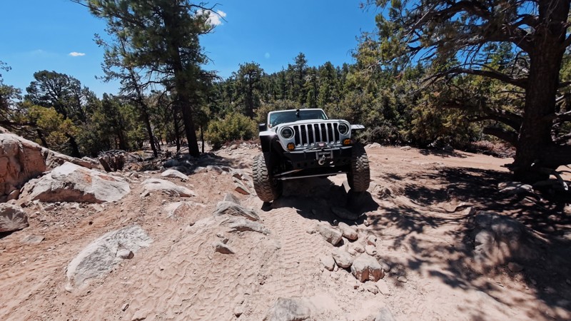
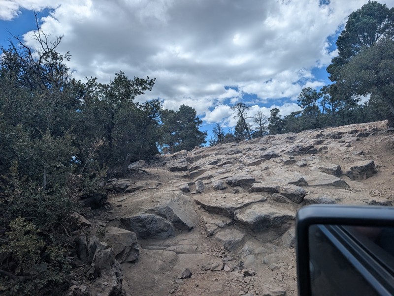
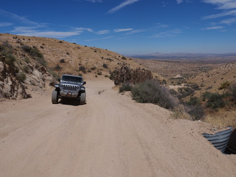
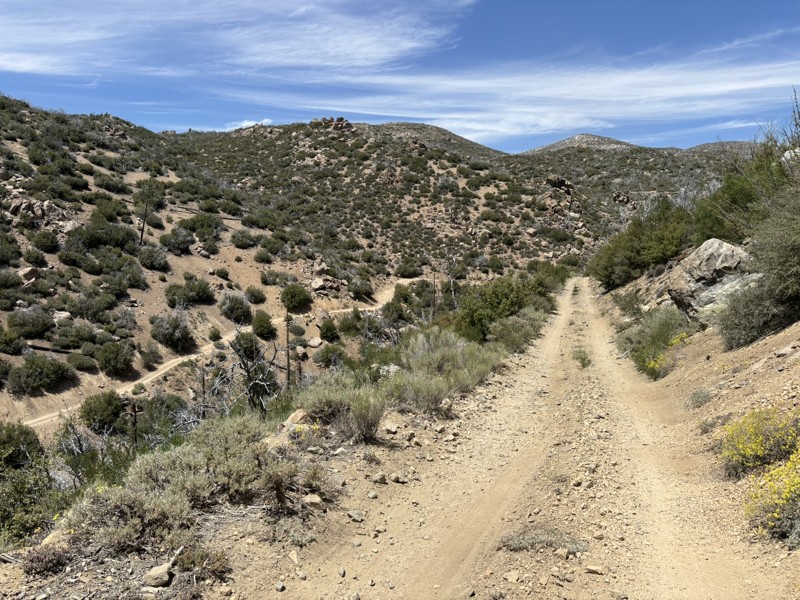
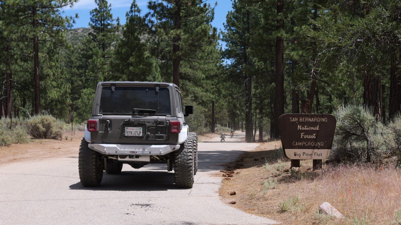
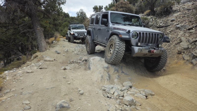
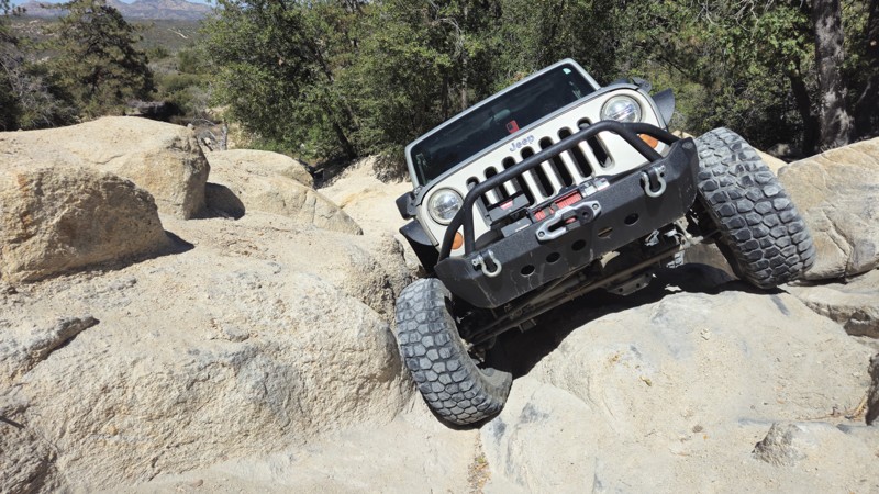
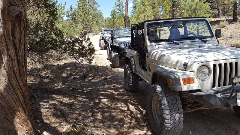
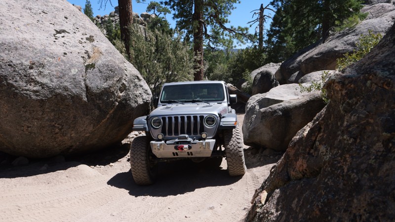
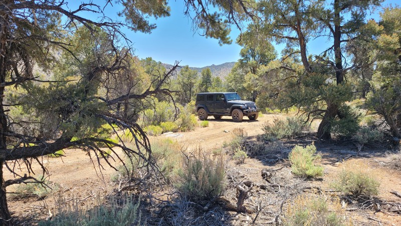
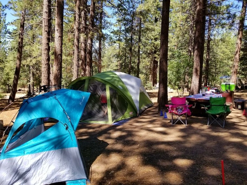
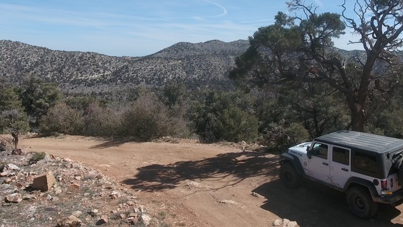
If you want to drive down a dirt road to a National Forest campground in the family SUV, Big Bear has options. If you want to explore scenic trails for the day and grab dinner in town, Big Bear has options. If you want to push the limits of your 4x4 on world-class rock crawling trails then set up at a dispersed campsite for the weekend, Big Bear has options.

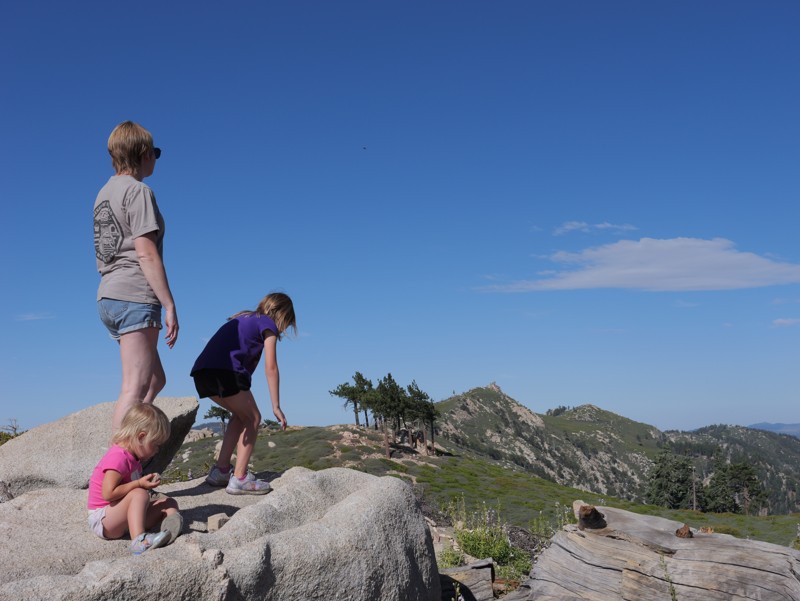
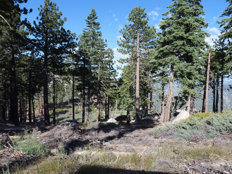
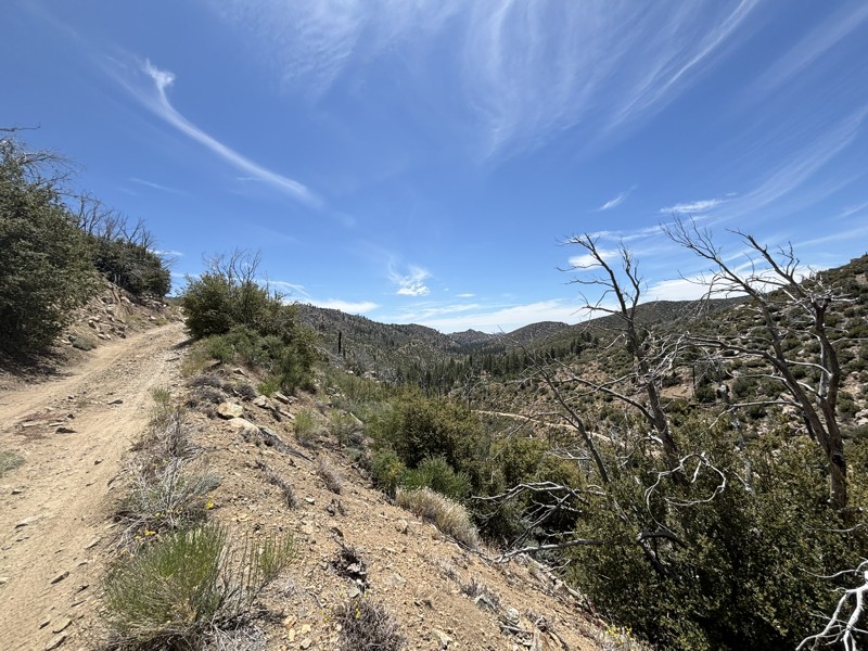
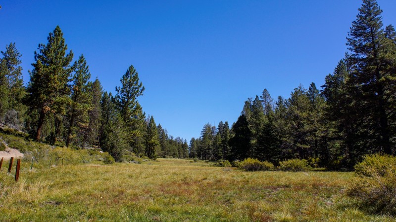
Big Bear is part of the San Bernardino National Forest and is located less than 100 miles from most of the greater Los Angeles area. This makes it an excellent destination for Southern California locals looking to escape into nature for a few days. The high elevation also means it's the ideal summer escape from the heat of the valleys below. In the winter, Big Bear remains popular with offroad enthusiasts since it is one of the few areas with trails open year-round. That's right: snow wheeling in SoCal.

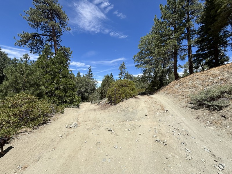
So if you're ready to book your stay in Big Bear (literally or figuratively), just know that you probably won't be the only one. Keep an eye out for fellow offroaders, be respectful of other campers, and make sure to leave the natural beauty of the San Bernardino National Forest better than you found it. 

With dozens of trails in the Big Bear area, it can be tough to decide where to start. Check out our list of the Top 5 Beginner Trails in Big Bear CA

Top Reasons to Explore Here

Basemaps
Go All-Access to Unlock


TRAILS OFFROAD™ TRAIL TYPES
Trail Guide
Full detailed write up with Advanced Rating System, Waypoints, Video, and more.
Scout Route
Lite version with highlights, camping, and hardest part documented. Vetted in person.
TRAIL DIFFICULTY RATINGS
easy (1-2)
Suitable for high clearance 2WD
moderate (3-4)
Best suited for a high clearance 4x4
difficult (5-6)
Best suited for a lightly modified 4x4
severe (7-8)
Best suited for a highly modified 4x4
extreme (9-10)
Best suited for specialized buggy type vehicles
LAYERS

Most Recent Trail Reviews

Most Popular

Search for Trails
California: Burns Canyon Hero Photo
All-Access Preview Icon
4.8/5 (133 reviews)
Updated: 09/03/2025

Burns Canyon

Open
/
Yucca Valley, California/
19.06 miles/
About 3 hours

From the high desert floor flush with Joshua trees, Yucca, and crisp blue skies to the green forest of Big Bear, Burns Canyon, also known as Arrastre Creek, is an odyssey waiting for you in Southern California. Rich with history, particularly if you start at the south end and take in Pioneertown, travel through the famous Rose Mine, and find the rare Redwood trees, this trail makes for a great gateway for an epic overland trip close to home. This is the perfect get-away for a day or days when combined with the other amazing trails this area has to offer.

California: 3N16 - Holcomb Valley Hero Photo
All-Access Preview Icon
4.8/5 (130 reviews)
Updated: 12/23/2025

3N16 - Holcomb Valley

Open
/
Green Valley Lake, California/
25.67 miles/
About 2 hours

Holcomb Valley Road, also known as 3N16, is the backbone of Big Bear’s off-road country. It is a 26-mile route winding through pine forests, open meadows, and the storied remains of Southern California’s gold rush. Running west to east across the San Bernardino Mountains, it follows the same paths once traveled by 19th-century miners and settlers. Today, it’s a family-friendly dirt road that invites exploration, with countless opportunities to stop and connect with Big Bear’s rugged backcountry heritage. Along the way, you’ll pass relics of the old Belleville mining district, shady forest campsites, and panoramic overlooks where the air smells of pine and the horizon glows at sunset. More than just a scenic drive, 3N16 links some of the region’s most iconic trails, serving as both an adventure in itself and a gateway to Big Bear’s legendary four-wheel playground.

California: 3N69 – Gold Mountain Hero Photo
All-Access Preview Icon
4.9/5 (128 reviews)
Updated: 07/08/2024

3N69 – Gold Mountain

Open
/
Big Bear City, California/
4.52 miles/
About 2 hours

Gold Mountain Trail, 3N69, is one of those names all Southern California offroaders know. For many, it was their first rock crawling trail. For others, it is their next ambitious goal. Located in the San Bernardino National Forest, near Big Bear Lake, this easily accessed rock crawling trail takes you up and into the mountain range of SoCal, cresting over 8,000 feet above sea level before dropping you near the history-rich Holcomb Valley. Along this scenic wonderland, the trail offers fantastic views of Big Bear Lake, the bustling mountain village below, and the towering San Gorgonio Mountain.

The trail was established in the 1860s during the Big Bear gold rush to facilitate mining operations. Today, the obstacles bring people to this historic trail. With two waterfalls, a rock garden, and several hard corners, this trail tests driver skills and vehicle capability. There is no doubt why Jeep picked this trail as one of its legendary Jeep Badge Of Honor Trails.

California: 1N09 - City Creek Hero Photo
All-Access Icon
4.7/5 (103 reviews)
Updated: 07/05/2024

1N09 - City Creek

Redlands, California
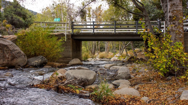
Whether you are into overlanding, 4x4'ing, or rock crawling, the San Bernardino National Forest is a common area for people to seek adventure and memories. On the front side of Big Bear is an offroad route that is still barely known, even though it is right off Highway 330, the main highway up to Big Bear. 1N09, or City Creek Road as it's also known, is a magical scenic drive that can easily be made into a day trip or weekend adventure. The trail itself is relatively easy, but as you travel east among the dense forests, you are pleasantly surprised by the many water crossings the trail has. So the next time you go up to Big Bear to do a little wheeling, instead of overlanding on 3N16 again, check out 1N09 City Creek Road for a taste of the mountains' lush forest and tranquil beauty.
California: John Bull (3N10) Hero Photo
All-Access Preview Icon
5/5 (75 reviews)
Updated: 08/12/2026

John Bull (3N10)

Open
/
Big Bear, California/
4.58 miles/
About 6 hours

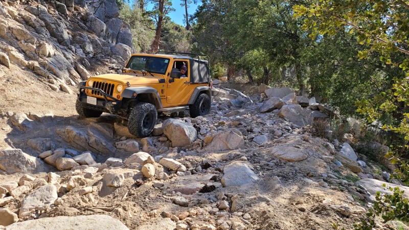
One of the must-do offroad trails in Southern California and maybe even the United States, 3N10 - John Bull is a legendary trail in the offroad community and offers an amazing rock-crawling experience to all users. Often used as a trial run for larger trips such as to the Rubicon or the Dusy-Ershim, this Jeep Badge of Honor trail will test a vehicle to its breaking point. John Bull features large boulders over 36 inches round, loose rocks that love to bend sheet metal, and big trees that seem to jump out of nowhere and kiss your vehicle, leaving behind body damage scars that make for epic campfire stories. If looking for a unique and challenging trail within Big Bear's Holcomb Valley, John Bull will certainly fill the void.

California: Holcomb Creek Trail Hero Photo
All-Access Preview Icon
5/5 (60 reviews)
Updated: 09/23/2025

Holcomb Creek Trail

Open
/
Big Bear City, California/
5.84 miles/
About 4 hours

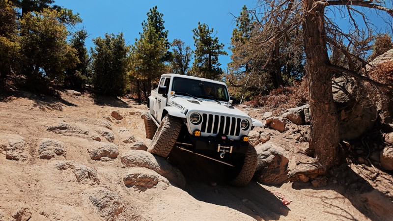
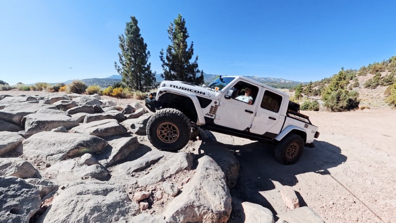
Comfortably nestled in the San Bernardino National Forest, Holcomb Creek is a challenging rock-crawling trail that has attracted visitors for decades. It is a Jeep Badge of Honor Trail, and for good reason. It is one of the most demanding trails in the Big Bear Mountain range and provides perhaps the best rock crawling of them all. While traveling the trail, expect everything from water crossings to extensive rock gardens with rocks the size of small cars. You can also expect challenging hill climbs and fantastic views of Holcomb Creek and the Pacific Crest Hiking Trail. Over the years, this trail has claimed many vehicles and should not be underestimated. People often exit this trail with their hopes and vehicles destroyed. If you think you and your vehicle have what it takes to complete this epic 4x4 adventure, then air down your tires, engage those lockers, and be prepared to make unforgettable memories while earning your badge!

California: Coxey Road (3N14) Hero Photo
All-Access Icon
4.7/5 (67 reviews)
Updated: 08/12/2026

Coxey Road (3N14)

Fizzben Heights, California

Leave the sunbaked Mojave Desert near Hesperia behind and begin an unforgettable journey into the towering forests, cool mountain air, and sparkling blue waters of Big Bear Lake. 3N14 Coxey Road is more than just a scenic dirt road. It is a gateway to adventure, carrying explorers through a dramatically changing landscape where rugged desert terrain and scattered junipers slowly give way to pinyon pines, dense mountain forests, and towering Jeffrey pines as the trail climbs higher into the San Bernardino Mountains.

For those looking for a quick escape, Coxey Road can be traveled from bottom to top in roughly two hours, creating an incredible desert-to-mountain adventure that feels worlds away from where it began. But slow down, pack the camping gear, and the same trail can become the backbone of an unforgettable multi-day overland journey. Numerous camping opportunities along and near the route allow explorers to leave civilization behind, search for a secluded campsite beneath the trees, gather around a crackling campfire, and spend the night beneath a brilliant mountain sky filled with stars. With miles of connecting forest roads and trails waiting to be explored, a simple drive along Coxey Road can easily grow into an entire weekend of backcountry adventure.

When winter arrives, the adventure transforms once again as snow blankets the towering pines, covers the surrounding mountains, and turns this normally relaxing backcountry drive into an entirely different four-wheel-drive experience. Whether you are chasing panoramic desert views, watching the landscape transform from arid Mojave vegetation into lush mountain forests, searching for the perfect campsite,


California: Heartbreak Ridge Hero Photo
All-Access Icon
4.7/5 (51 reviews)
Updated: 02/04/2026

Heartbreak Ridge

Big Bear, California

Tucked into the rugged east side of Big Bear in Southern California, 2N61Y, better known as Heartbreak Ridge, is a remote, challenging 4x4 trail in the San Bernardino National Forest. It’s a trail for drivers who want a true backcountry challenge away from the busier, more popular routes in the area.

Heartbreak Ridge is technical and demanding, with jagged rock gardens, tight canyon squeezes, and off-camber shelf-road sections that require careful tire placement and steady focus. Along the way, you’ll catch wide mountain views and pass scattered remnants of old mining activity that add a gritty, historic feel to the drive.

California: Dishpan Springs Hero Photo
All-Access Icon
4.8/5 (39 reviews)
Updated: 06/25/2026

Dishpan Springs

Lake Arrowhead, California

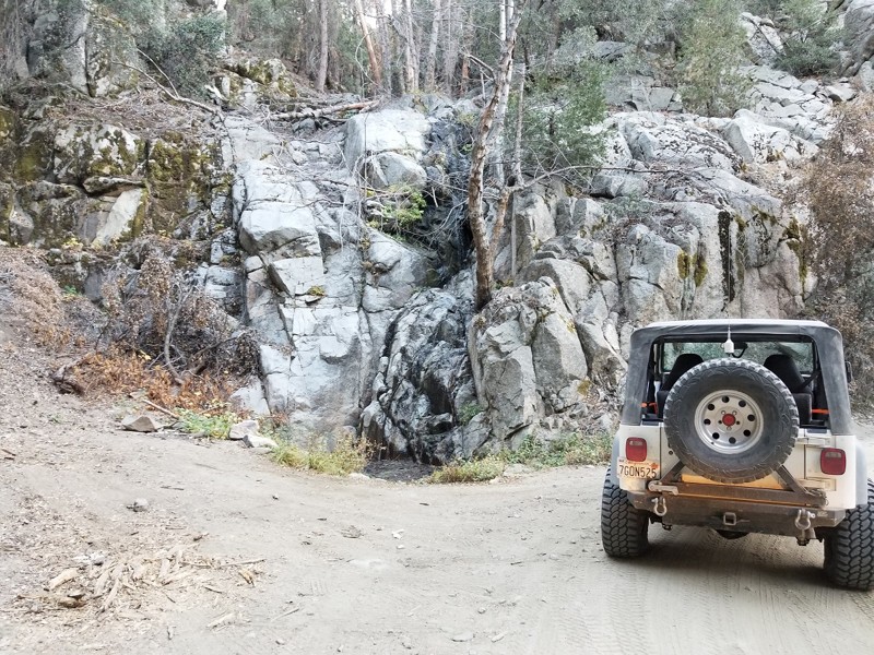
Dishpan Springs 3N34 is a short but brutally hardcore rock crawling trail that has become a must-run destination for serious offroad enthusiasts, rock crawlers, and extreme 4x4 drivers. Hidden deep in the San Bernardino Mountains between Big Bear Lake and Lake Arrowhead, this legendary Southern California off-road trail delivers nonstop technical challenges and is not something to underestimate. Known for its steep granite climbs, loose dirt, and high-consequence obstacles, Dishpan Springs is designed to test driver skill, vehicle setup, and mental focus from start to finish.

The trail is defined by two massive, highly technical waterfalls that rank among the most intimidating obstacles in the area. These near-vertical rock faces demand precise tire placement, controlled throttle, and confident line choice. The upper waterfall in particular is notorious for body damage and rollovers, and it has no regard for whether you are driving a fully built 4x4, a rock buggy, a heavily armored Jeep, or an over-the-top Toyota build. With constant traction challenges, extreme rock crawling lines, and heart-pounding climbs, Dishpan Springs delivers pure adrenaline and is the kind of offroad trail that leaves drivers exhausted, grinning, and wishing it would never end.

California: 3N17 - White Mountain Hero Photo
All-Access Icon
4.7/5 (46 reviews)
Updated: 07/30/2024

3N17 - White Mountain

Big Bear Lake, California

Located deep within the San Bernardino Nation Forest and providing legendary views of the High Desert, 3N17 White Mountain is a lightly traveled yet prominent trail within the Big Bear Lake area, known to be a favorite among locals. Perched at nearly 7,800 feet above sea level, the views from this ridge-running trail are awe-inspiring. While traveling the northern mountain range spine, users are rewarded with views of Johnson Valley, Lucerne Valley, Cougar Buttes, Apple Valley, Barstow, Mojave Road, and even Calico off in the distance. If those views aren't appealing enough, wait for dark and visit one of the two twin peaks on a clear night, where the glamourous lights of Las Vegas can be seen in the distance. If you are looking for something new and scenic that you will want to come back to again and again, look no further than White Mountain.

California: 1N54 - Clarks Grade Hero Photo
All-Access Icon
4.7/5 (62 reviews)
Updated: 07/20/2024

1N54 - Clarks Grade

Big Bear Lake, California

Clarks Grade is a 4x4 off-road trail in the San Bernardino National Forest. Driving this trail is a journey through several ecosystems, starting at the lowest elevation at the Santa Ana River and continuing to the ridgeline south of Big Bear Lake. The lushness of the canyon bottom gives way to the semi-aridness of mesquite, sage, and scrub oak. Finally, towards the end, you reach groves of conifer and an open-air ridgeline. Rumor has it that this trail was cut in one week as an alternate way off the mountain when, in 1949, the storm of the century blocked all access in and out of Big Bear Lake/Snow Summit. A sign at the north end explains that the trail has been in place since well before 1949. Harland Clark always told the story his way; it looks like his brother Hiram made the improvements.
California: 2N10 - Mill Creek Hero Photo
All-Access Icon
4.3/5 (22 reviews)
Updated: 09/06/2024

2N10 - Mill Creek

Big Bear City, California

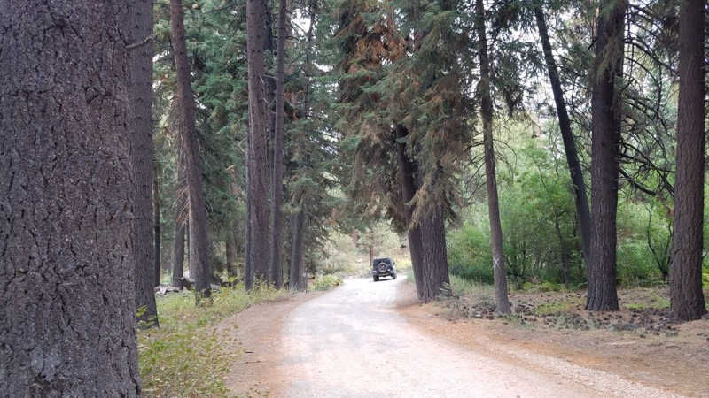
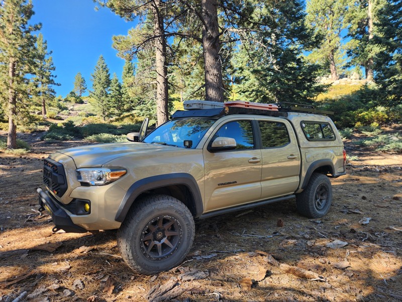
2N10 Mill Creek is in the 823,000-acre San Bernardino National Forest just south of Big Bear Lake and travels through some of the most beautiful parts of the Big Bear Mountains. Mill Creek has many spots to pull over and enjoy the peaceful solitude of this lush forest. The entire road length is enclosed by a conifer forest with tall Ponderosa Pine sheltering the way and accented by the unusual granite formations for which Big Bear is known. This well-marked road provides access to several other driving trails and numerous hiking and biking trails to explore.

California: 3N34 - Willow Creek Jeep Trail Hero Photo
All-Access Icon
4.7/5 (52 reviews)
Updated: 01/27/2024

3N34 - Willow Creek Jeep Trail

Lake Arrowhead, California
A few miles north of the mountain lake community of Lake Arrowhead you will find Willow Creek Jeep Trail. This trail is amongst a network of OHV routes in the San Bernardino mountains in the San Bernardino National Forest. As you travel across this trail you begin to notice the forrest environment on the south slowly fade toward a hinting desert landscape on the north. This is most prominent as you pass 3W13 (waypoint 9) and turn to the north. Along the trail you will make two creek crossings ; willow creek and little bear creek. Both crossings are over concrete-slab fords. The east end of 3N34X (way point 27) offers the most fun of this trail for the adventurous offroader. This rutted, rocky hill was fun enough for us to run it up and down.
California: 3N08 - Holcomb Creek Road Hero Photo
All-Access Icon
4.6/5 (30 reviews)
Updated: 07/08/2024

3N08 - Holcomb Creek Road

Big Bear Lake, California
3N08 is the perfect trail for the new and moderately experienced off-road enthusiast in the forest of Big Bear, CA. The trail provides plenty of dense forest scenery and some 4x4 challenges. The most notable obstacle on the trail is a rocky hill climb on the east end of the trail. This hill climb is a 40 degree climb with several moderate sized rocks and ledges. At roughly 30 feet long, the hill climb is just big enough to get the heart pumping and for you to second guess your line of attack.
California: The Squeeze Hero Photo
All-Access Icon
4.8/5 (50 reviews)
Updated: 07/21/2025

The Squeeze

Minnelusa, California

Tucked deep in the pine-covered hills of Holcomb Valley, The Squeeze Trail or 3N07A is a short but thrilling offroad adventure that combines rugged terrain, alpine beauty, and heart-pounding excitement. Twisting and winding beneath the jagged granite spires of the Big Bear Pinnacles, this route offers more than just a drive. It delivers a front-row seat to some of the most striking geology in the San Bernardino Mountains. These towering rock formations pierce the skyline, making the area a favorite for climbers and photographers chasing golden-hour light. The sense of wilderness here is real and raw, with sweeping views, thick tree cover, and a feeling of remoteness that adds to the adventure.

But the real showstopper is the trail’s namesake obstacle at Coyote Crag. Known simply as The Squeeze, this narrow rock corridor tests both your driving skills and your nerve. Threading your rig between two massive boulders with barely enough room to spare will get your pulse racing. One wrong move and you’re adding new trail scars to your rig. Fold in your mirrors, trust your spotter, and take a deep breath. This is the moment that makes the trail unforgettable.

California: 2N93 Wildhorse Meadow Hero Photo
All-Access Icon
4.6/5 (42 reviews)
Updated: 06/07/2024

2N93 Wildhorse Meadow

Big Bear City, California

2N93 Wildhorse Meadow is in the beautiful San Bernardino National Forest, southeast of Big Bear Lake. This trail has designated camping, with two yellow post sites on 2N93F Wildhorse. Also on this trail is a designated shooting site at 2N93G Lightning Gulch. It's obvious where Wildhorse Meadow gets its name when you drive between Waypoints 7 and 10. The meadow is lush green, bordered by pine, oak, cedar, and elm. Bring your family, picnic lunch, and camera for a day of 4WD offroad fun.

California: 3N03 - Smarts Ranch Hero Photo
All-Access Icon
4.4/5 (27 reviews)
Updated: 07/10/2024

3N03 - Smarts Ranch

Big Bear City, California

Smarts Ranch Road travels through an interesting mix of Pine and Joshua trees, providing several locations along the way for camping, hanging a hammock, or just pulling over into a clearing and enjoying the quiet forest solitude. The last three miles at the southeastern end of the trail provide a driving challenge over rough, exposed rock outcroppings for those wanting to test their offroad driving skills.

California: 2N08 - Knickerbocker Hero Photo
All-Access Icon
4.6/5 (24 reviews)
Updated: 11/18/2023

2N08 - Knickerbocker

Big Bear Lake, California
2N08 - Knickerbocker, south of Big Bear Lake, is one of many Forestry Trails in the San Bernardino National Forest. The trailhead is literally in walking distance from the Village in Big Bear. This trail is easy, as are all of the trails on the south side of the lake. The views to the north, including Big Bear Lake, Holcomb Valley, and Gold Mountain, are spectacular. The trail ends on 2N10 - Skyline, where you can go left or right to discover more trails. The trail is absolutely beautiful after the first snowfall, but don't delay, the Forest Service closes the trail as conditions warrant. The entire Big Bear Trail System includes many hiking and biking trails and they are well marked.
California: 2N71 Hero Photo
All-Access Icon
4.9/5 (17 reviews)
Updated: 07/08/2024

2N71

Big Bear Lake, California
An easy drive in the Big Bear Lake area, 2N71 offers you one of the best off-pavement tours of the lake without having to hike. In addition, you get a perfect view of the city on the south shore of the Lake. Head up this trail for one of the best 4th of July firework displays in the area. The area was once populated by only Native Americans and the grizzly bears, from which the area received its name. Not to worry, grizzly bears have not been found in the region since 1908. Black bears were introduced in the region in 1933. Big Bear Valley grew rapidly during the Southern California Gold Rush from 1861 to 1912. This trail is perfect for an introduction into this beautiful area of Holcomb Valley and Big Bear Lake.
California: 2N13B - Butler Peak Hero Photo
All-Access Icon
4.9/5 (32 reviews)
Updated: 05/12/2024

2N13B - Butler Peak

Fawnskin, California
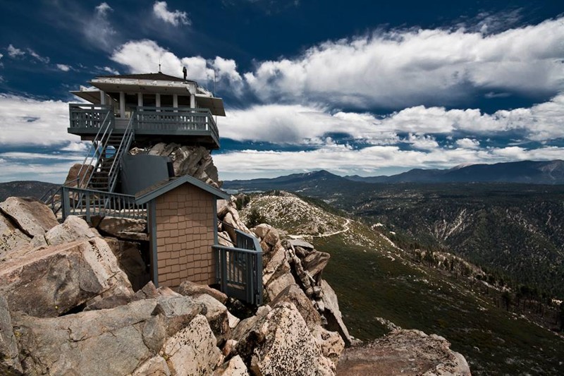
Not just another off-road trail, Butler Peak - 2N13B recently reopened after a forest fire ravaged the area. The trail has been closed for roughly 9 years and has been hiding one of the best views in all of the San Bernardino National Forest. This easy offroad trail takes you up to the fire lookout tower of Butler Peak which upon arriving at the top you have the opportunity to see as far as the eye can see in every direction. You can easily see Calico Mountains to the north, Big Bear Lake to the east, Riverside and Orange County to the south, and Lake Arrowhead and Mountain High to the west. To try and describe the beauty of the view is impossible, thus make plans and enjoy the stunning scenic views of Butler Peak Fire Tower.
California: 2N01 - Broom Flat Hero Photo
All-Access Icon
4.6/5 (27 reviews)
Updated: 06/08/2024

2N01 - Broom Flat

Big Bear Lake, California
2N01 - Broom Flat is a scenic, winding, forest road leading from CA-38 in Big Bear, CA, to the area at the base of Tip Top Mountain. 2N01 serves as a great access road to this south eastern section of the Big Bear Mountains. This is a great trail for a beginner looking to explore this open area, or a great connector for more advanced wheelers looking for a quick route to Heartbreak Ridge or Tip Top Mountain. 2N01 - Broom Flats can be run as an out & back, or a connector to the many other off-road trails in this area.
California: Radford Front Line Road Hero Photo
All-Access Icon
4.5/5 (8 reviews)
Updated: 11/26/2025

Radford Front Line Road

Big Bear, California

Front Line Road is in the 823,000-acre San Bernardino National Forest just south of Big Bear Lake. It provides a casual meandering adventure alongside a shallow canyon formed by the 8,000-foot San Bernardino Mountain Range to the north and the 10,000-foot San Gorgonio Wilderness mountains to the south. There are numerous places to pull over for lunch or to take in the many commanding views of the mountains and tall pines that guide your way.

California: Middle Control Road - Big Bear Hero Photo
All-Access Icon
4.3/5 (34 reviews)
Updated: 07/20/2024

Middle Control Road - Big Bear

Redlands, California
Middle Control Road might not sounds like the worlds most interesting trail, but don't let this name fool you. The trail zig zags down the mountain providing some amazing views across the valley floor. Along the route there are plenty of options to get out of the 4x4 and hike the area. Also along the route is a beautiful waterfall which could easily be a place to stop when looking for inspiration... Whether you love off-road or you're looking for one of the most scenic drives in the area, I would recommend Middle Control Road as one of your next stops.
California: Lower Larga Flat Hero Photo
All-Access Icon
4.6/5 (13 reviews)
Updated: 07/21/2025

Lower Larga Flat

Big Bear Lake, California

2N06X, aka Lower Larga Flat, is a short offroad connection generally used to bypass the middle rock garden on Holcomb Creek. But don't think this trail isn't hard because it is considered a bypass. 2N06X offers intense rocky hill climbs, large boulder rock gardens, and crazy off-camber spots that will make you think twice. Many people find this to be a fun trail for intermediate drivers ready to make the next step up in difficulty.