Region

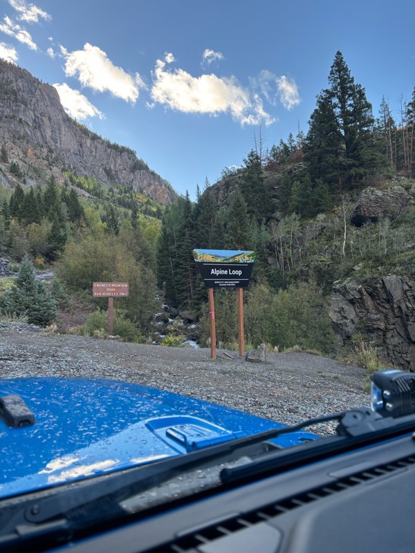
Alpine Loop

Colorado

Offroad Trails in Alpine Loop

A Region within Colorado
4.6/5 (803)

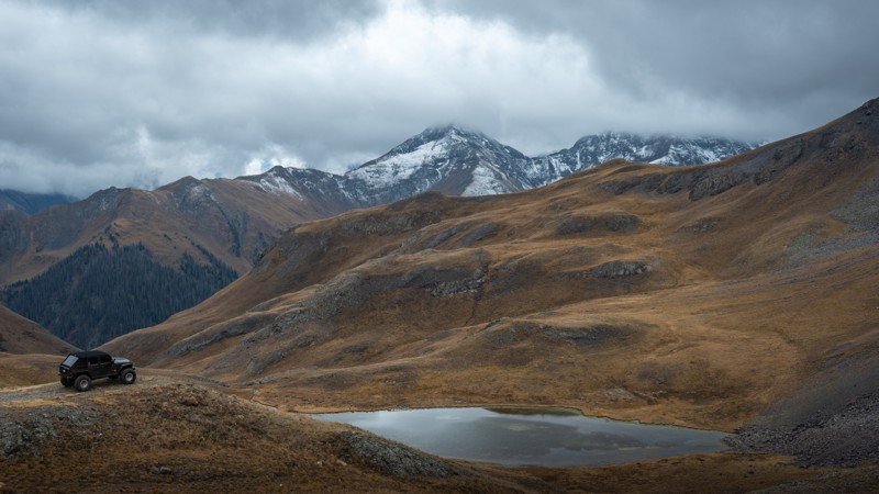
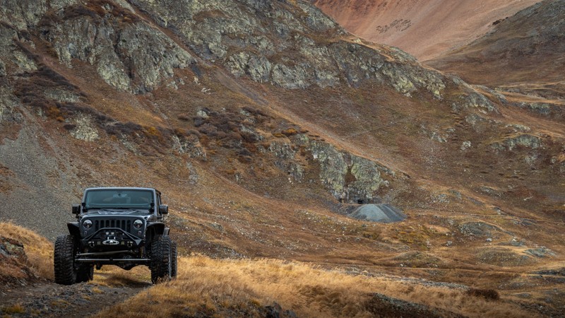
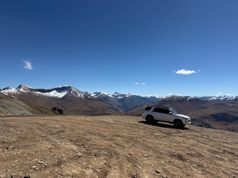
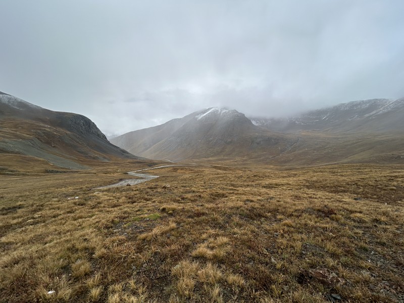
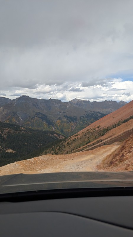
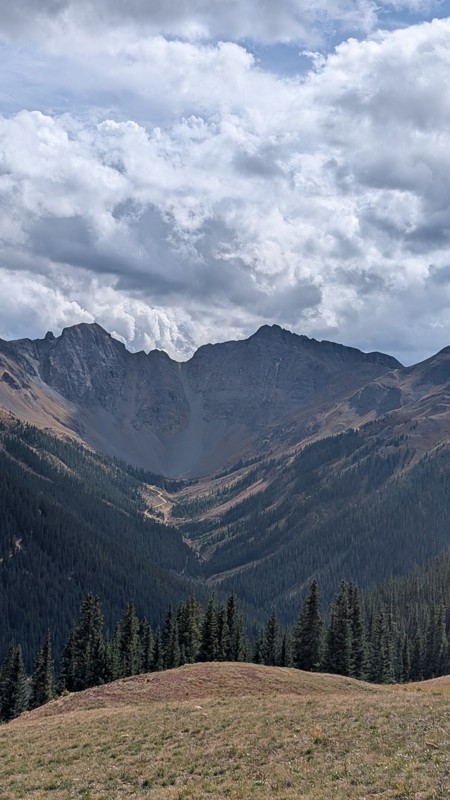
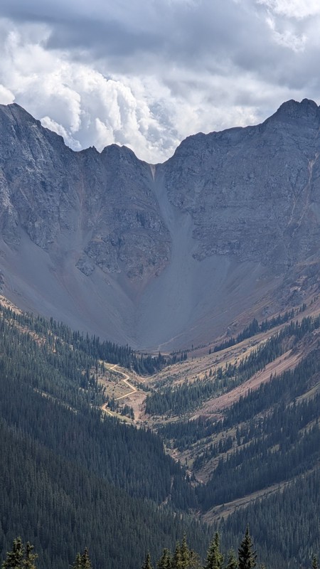
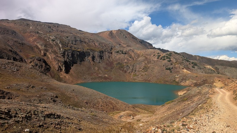
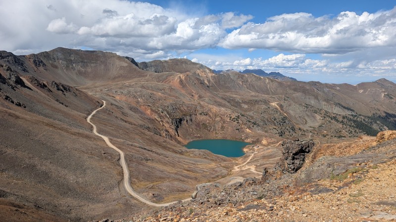
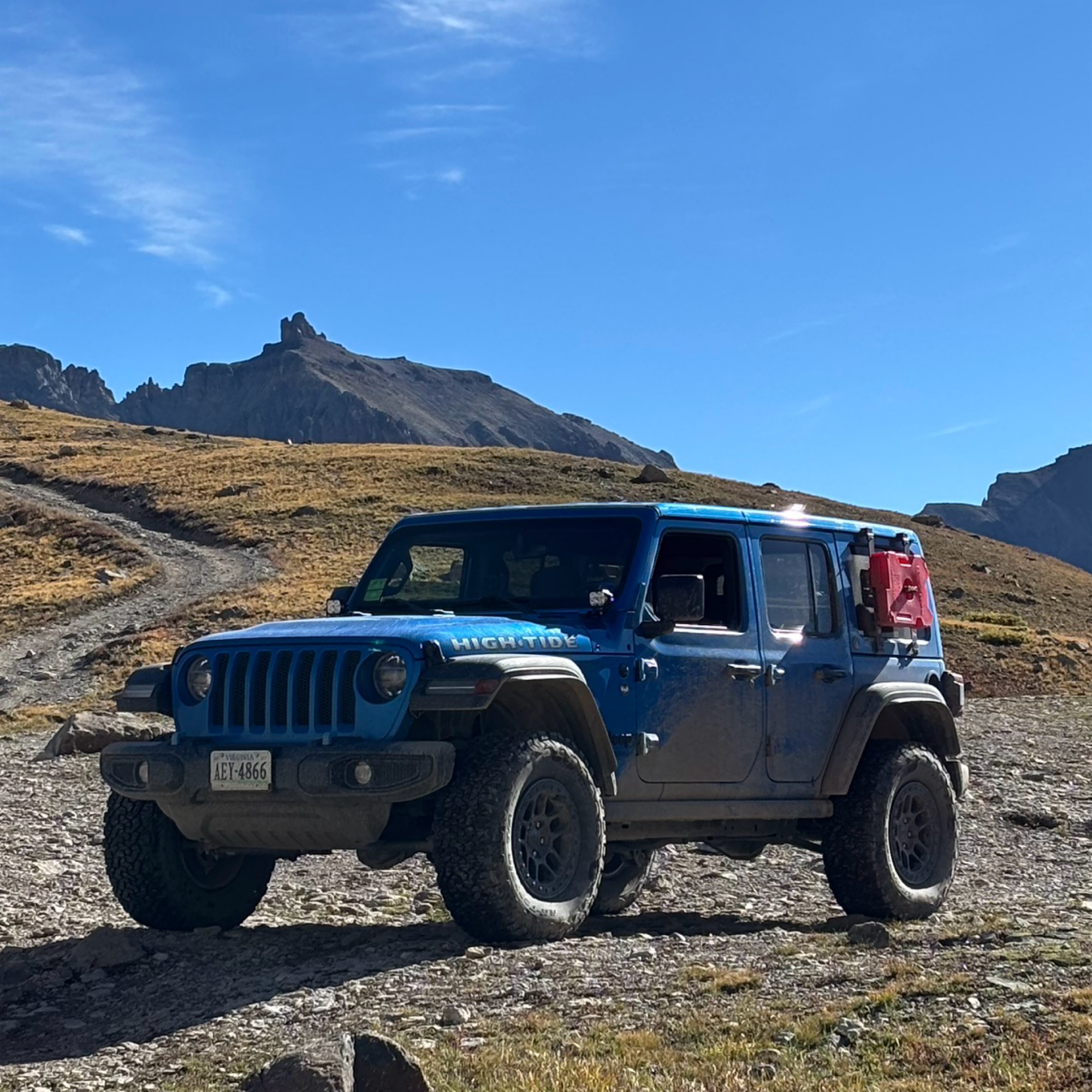
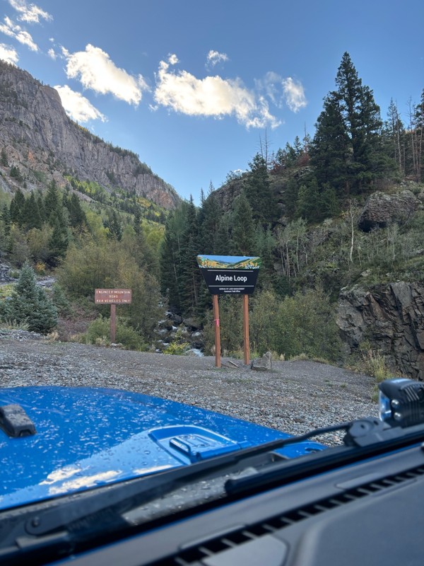
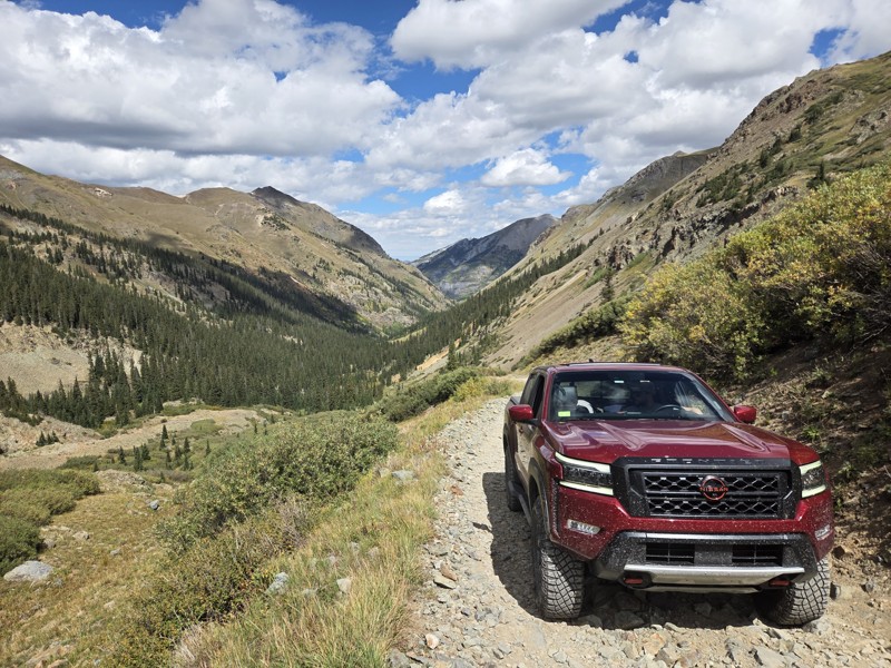
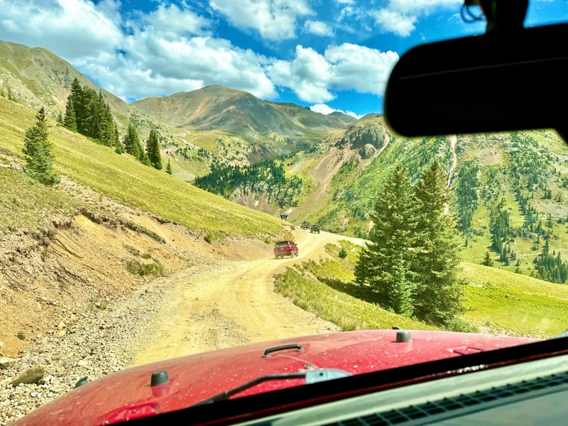
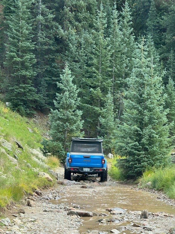
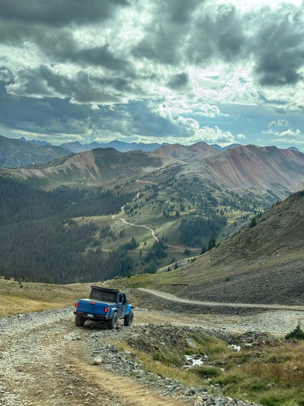
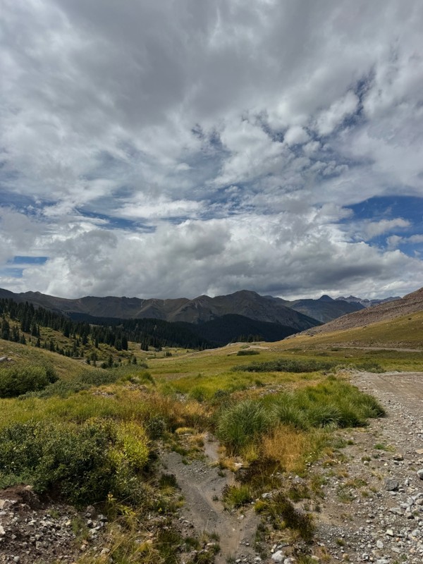
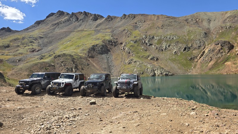
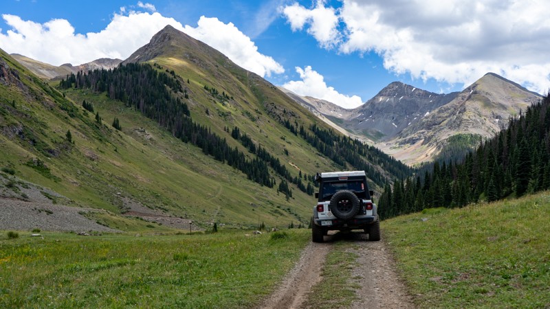
The Alpine Loop, also referred to as The Alpine Loop Backcountry Byway, is a true gem of stunning, unparalleled natural beauty. Located within the San Juan Mountains of Colorado, this world-renowned area traverses rugged mountain passes that will have you gasping for air at near 13,000 feet of elevation.

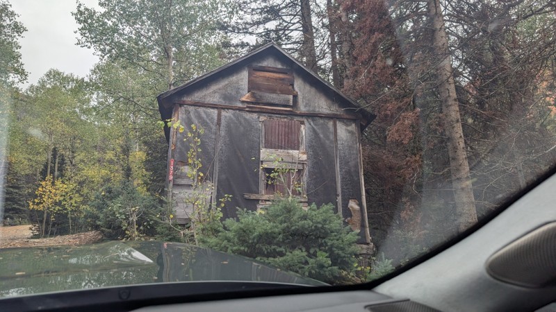
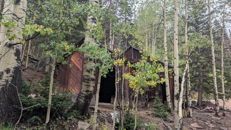
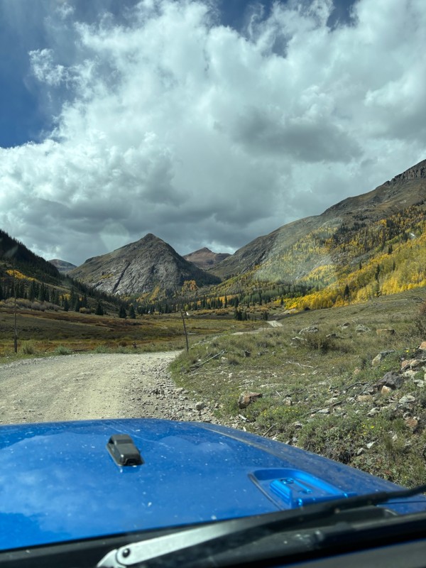
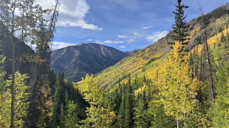
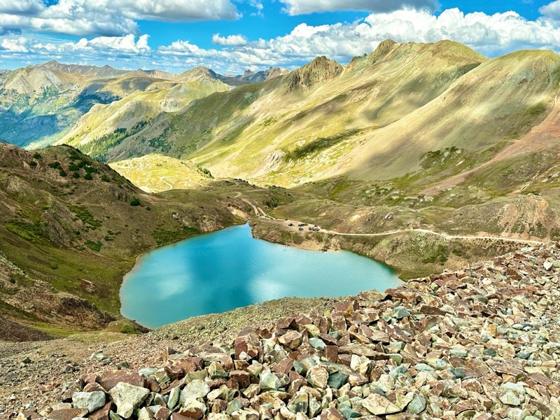
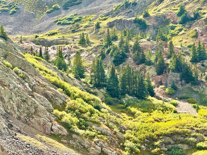
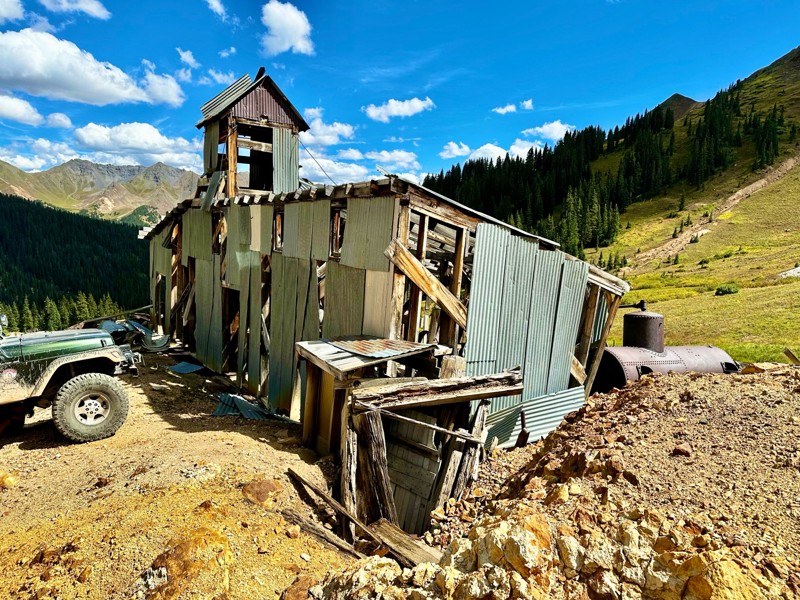
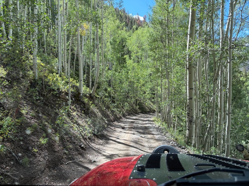
The Alpine Loop is a journey through time and nature. It passes through historic mining towns and ghostly remnants of the region's past such as the historic settlement of Animas Forks. Those who dare to enter this remote environment will be rewarded with a spectacular scenery of towering peaks, verdant forests, meandering streams, and vast swaths of wildflowers that devour entire hillsides.

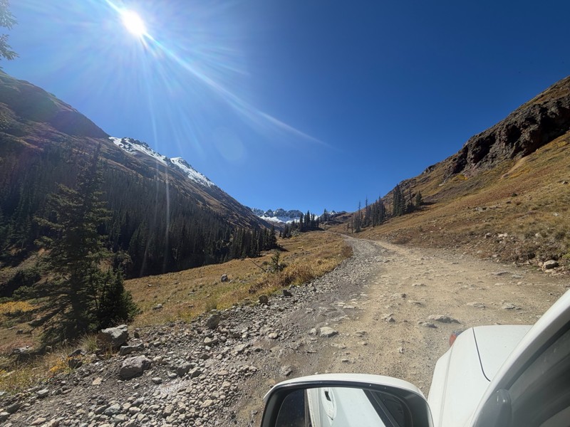
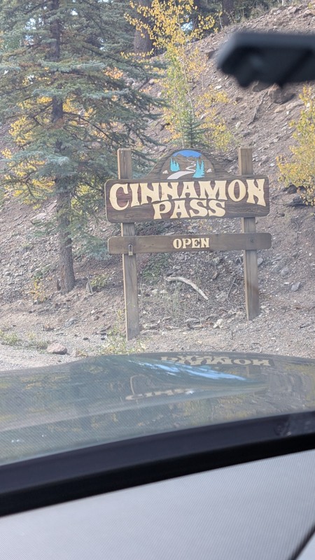
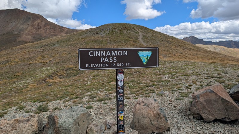
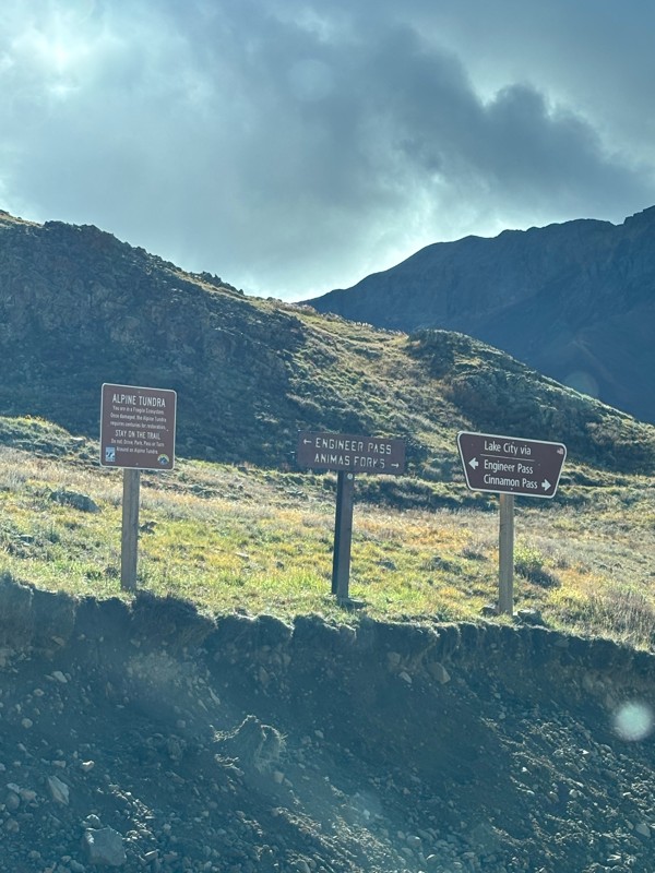
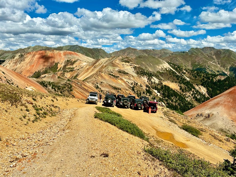
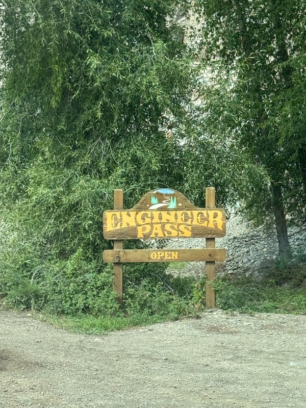
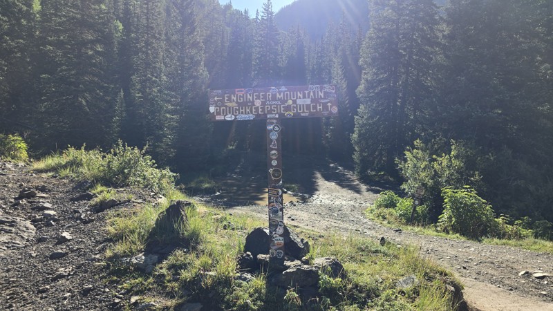
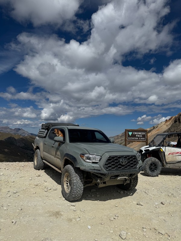
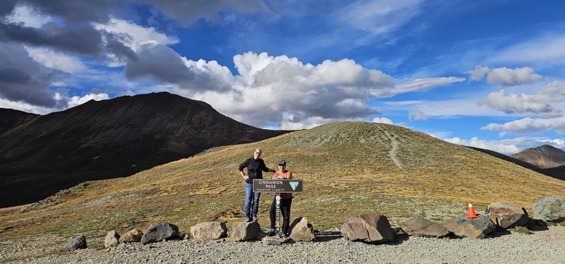
The loop connects the towns of Ouray, Silverton, and Lake City; each offering their own unique charm and amenities for visitors. It is a network of rocky, four-wheel-drive trails first utilized by 19th century miners who used the roads to cart off ore in mule-drawn wagons. The primary trails making up the loop include Engineer Pass, a narrow and steep trail offering panoramic vistas of several 14,000-foot peaks; Cinnamon Pass, known for its breathtaking views, high altitude scenery, and vibrant wildflowers; California Pass, which winds through alpine meadows and past abandoned mining structures; and Corkscrew Pass, famous for its steep, multi-point switchbacks and dramatic elevation changes.

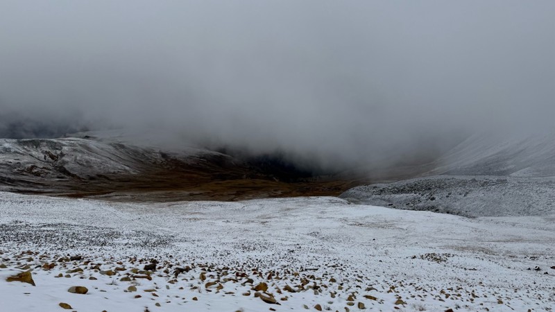
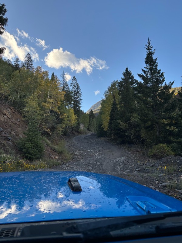
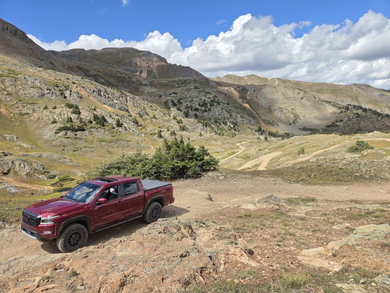
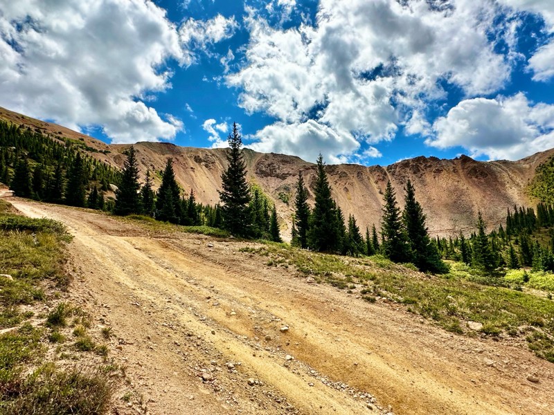
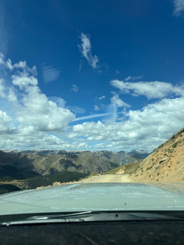
The offroad trails here are generally accessible mid-June through early October, depending on snow levels. The majority of trails are not technical and can be traversed by stock, high-clearance vehicles. However, the mental challenge of navigating single-lane roads with steep drop offs while attempting to squeeze past oncoming traffic can sometimes prove difficult. Additionally, the area is devoid of cell service, so it is important to go in prepared.

With a little cognitive fortitude, these unforgettable roads will give you access to some of the most remote and picturesque areas of Southwest Colorado. The Alpine Loop also provides a glimpse into the area's rich mining history and rugged frontier spirit.
Top Reasons to Explore Here

Basemaps
Go All-Access to Unlock


TRAILS OFFROAD™ TRAIL TYPES
Trail Guide
Full detailed write up with Advanced Rating System, Waypoints, Video, and more.
Scout Route
Lite version with highlights, camping, and hardest part documented. Vetted in person.
TRAIL DIFFICULTY RATINGS
easy (1-2)
Suitable for high clearance 2WD
moderate (3-4)
Best suited for a high clearance 4x4
difficult (5-6)
Best suited for a lightly modified 4x4
severe (7-8)
Best suited for a highly modified 4x4
extreme (9-10)
Best suited for specialized buggy type vehicles
LAYERS

Most Recent Trail Reviews

Most Popular

Search for Trails
Colorado: Cottonwood Creek Road Hero Photo
Scout Route Icon
4.5/5 (3 reviews)
Updated: 09/22/2025

Cottonwood Creek Road

Henson, Colorado

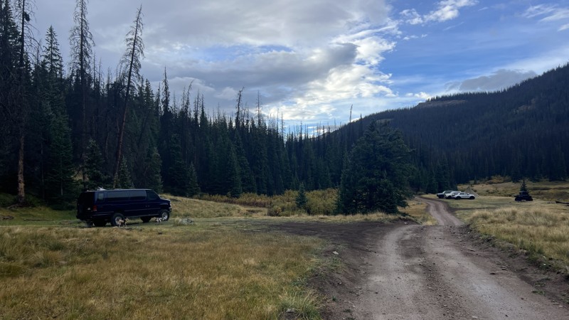
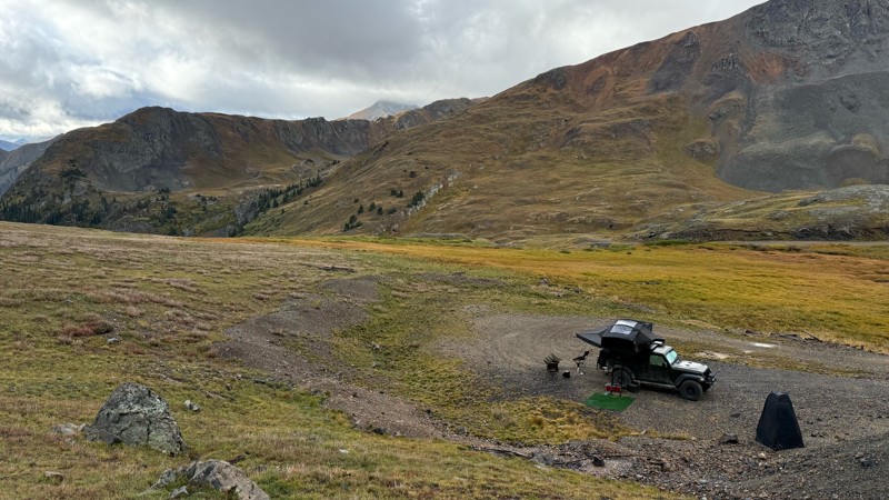
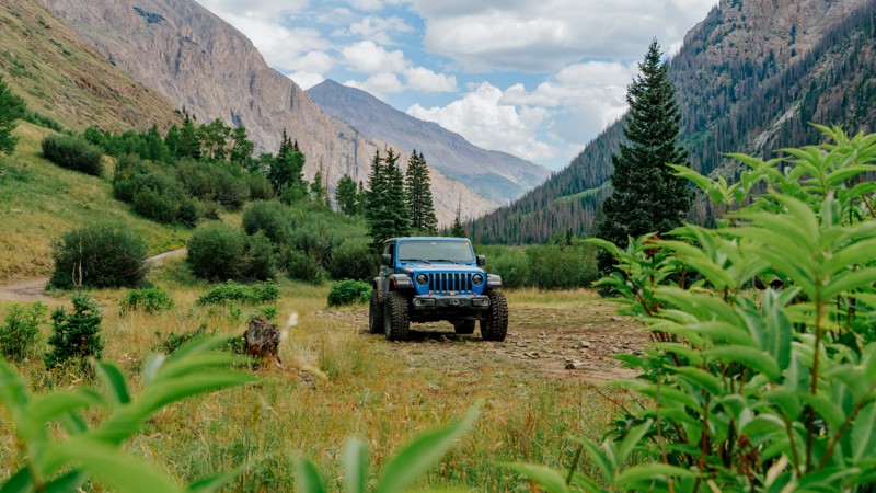
Cottonwood Creek Road is an out-and-back trail following Cottonwood Creek up through the Handies Peak Wilderness Study Area with access to dispersed campsites and two trailheads. Cataract Gulch Trailhead is located just 1.3 miles into the trail, and the Cuba Gulch Trailhead is found at the very end. Dispersed campsites are scattered along the trail with one featuring a vintage truck cab and others overlooking Cottonwood Creek, where it has carved down the rock. Although the beginning of the road is well-maintained after the first mile and a half, the surface becomes rougher with short climbs. This trail is a great spur for those trying to find camping off the busy Cinnamon Pass.

Colorado: Arrastra Gulch Hero Photo
Scout Route Icon
4/5 (4 reviews)
Updated: 12/11/2025

Arrastra Gulch

Silverton, Colorado

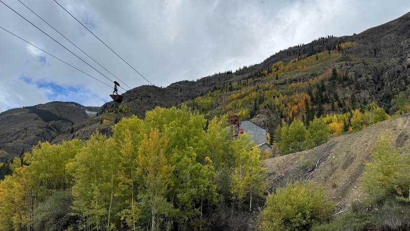
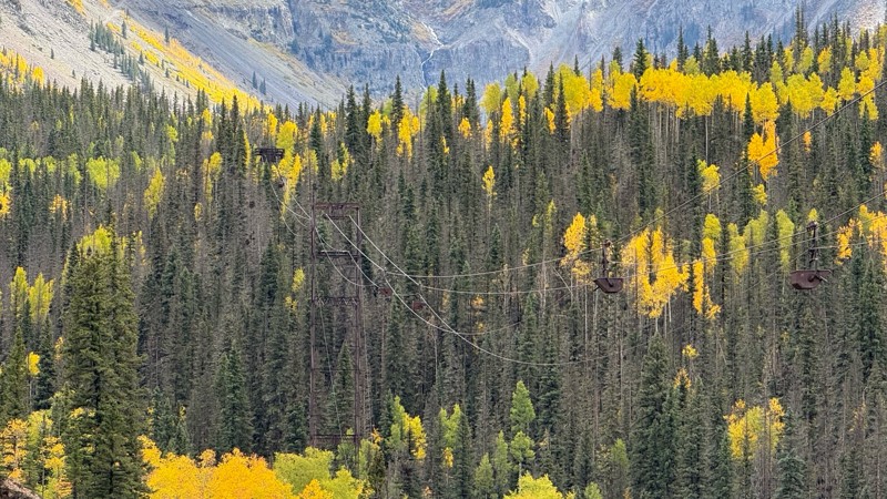
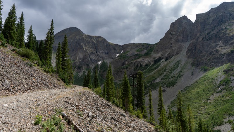
Climbing up its namesake gulch, the Arrastra Gulch offroad trail is a narrow shelf adventure with plenty to see. No significant obstacles block this trail, but its steep grade on a loose talus shelf warrants a confident driver and a vehicle with a low-range transfer case. Cable towers and carts sit above your head, giving a glimpse into the past of how they once transferred the minerals from clear up top in the gulch down into the valley.

Colorado: Mineral Point Townsite Hero Photo
Scout Route Icon
4.7/5 (5 reviews)
Updated: 09/04/2025

Mineral Point Townsite

Animas Forks, Colorado

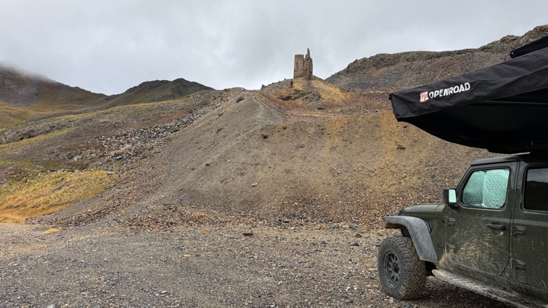
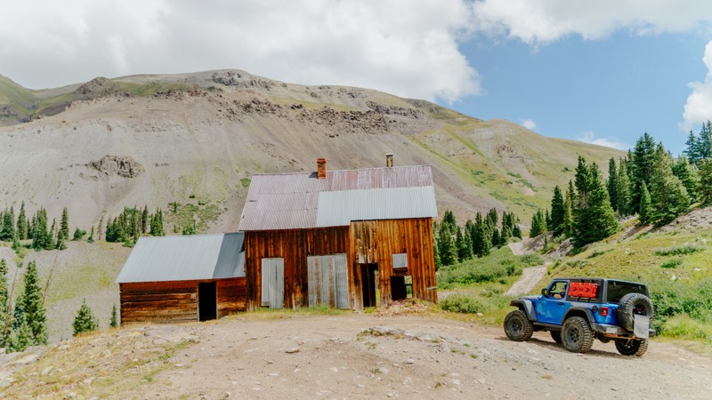
Mineral Point Townsite, a short loop just off Mineral Creek, is filled with history. The trail climbs up to remnants of the San Juan Chief and British Queen Mines. The entire area was once a mining hotbed with as many as ten operating mines. At least one spacious campsite is available on this trail and can be accessed by stock 4WD vehicles.

Colorado: County Road 26 Hero Photo
Scout Route Icon
4/5 (3 reviews)
Updated: 07/24/2026

County Road 26

Animas Forks, Colorado

County Road 26 is a short out-and-back spur off of County Road 2. The trailhead is relatively hidden in plain sight due to stream rubble, but the road is easily managed by any high-clearance vehicle. It provides four designated camping sites, each able to hold two vehicles, with the largest one at the end able to handle up to four vehicles. The campsites only have a fire ring and no other amenities.