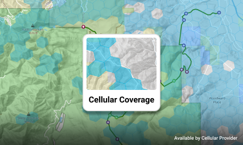
Cell Phone Coverage
Carrier-reported 4G coverage for AT&T, Verizon, and T-Mobile, so you know where service ends before you get there.
- Spot the dead zones along your route
- Download offline maps where service drops
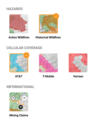
Turn on cell coverage, active and historical wildfires, and mining claims right on the Trails Offroad map, and check what's out there before you head out.


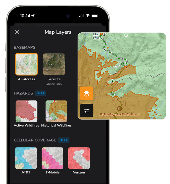
Carrier-reported 4G coverage for AT&T, Verizon, and T-Mobile, so you know where service ends before you get there.
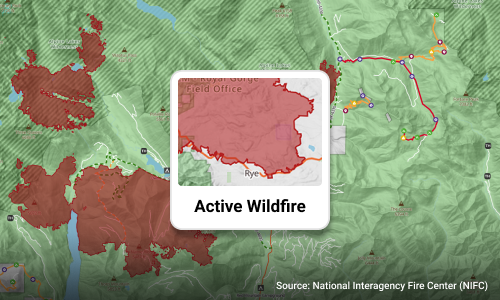
Current fire perimeters from the National Interagency Fire Center, refreshed every few hours.
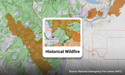
Burn areas from fires over 100 acres since 2020, so you know why the ground looks burned or bare.
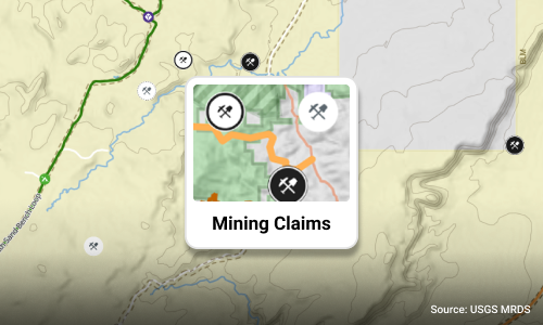
Mine and mineral sites from the USGS Mineral Resources Data System.
Layers sit on the same map you already use for trails, waypoints, and public land boundaries. Turn on what you need for today's run, and turn it off when you want a clean map.
Available on the web map and in the Trails Offroad app for iOS and Android.
Cell coverage, historical wildfires, and mining claims come with All-Access. Active wildfires are free for everyone.
Try Free for a Week