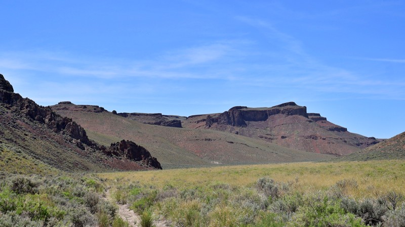
High Rock Canyon (157.14 miles away)
Swedes Place, Nevada
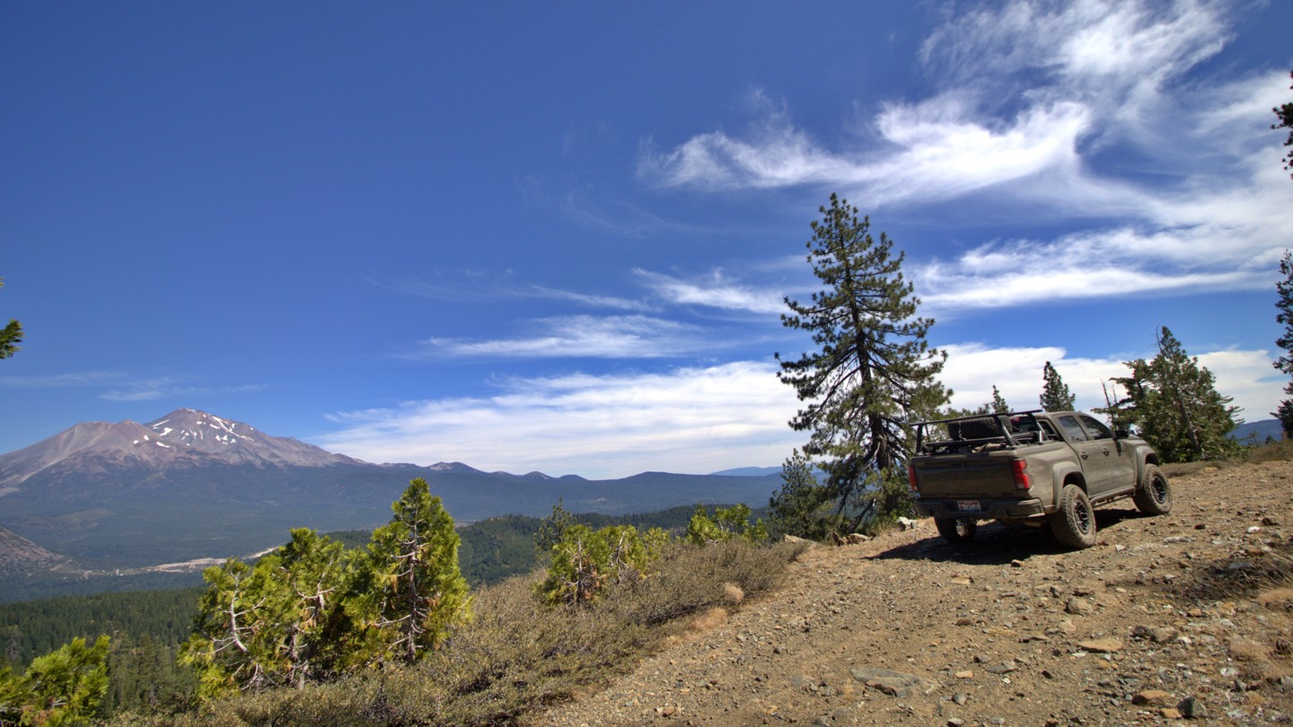

North Fork 41N53 is a scenic Forest Service road winding through the mountains west of Mount Shasta in the Shasta Trinity National Forest. Beginning at Forest Road 26, just beyond the bridge over the South Fork of the Sacramento River, the route climbs through dense pine and fir forest toward the North Fork of the Sacramento River, Morgan Meadows, and the upper trailhead of the historic Sisson Callahan Trail. Along the way, rocky streams, steep wooded slopes and occasional clearings reveal exceptional views across the Sacramento headwaters toward Mount Shasta.
Loose rock, uneven surfaces, encroaching brush and narrow shelf sections give the road its rugged backcountry character. The Forest Service designates 41N53 for high clearance vehicles, and reducing tire pressure is recommended to improve traction and provide a more comfortable ride. Conditions can change considerably with the seasons. Snow, fallen trees, erosion, and high spring runoff may make the route much more difficult or temporarily impassable.
Several dispersed campsites can be found along the route, ranging from small clearings suitable for a single vehicle to larger areas that can accommodate groups traveling with multiple rigs.
The Sisson Callahan Trail was designated a National Recreation Trail in December 1979, formally recognizing the recreational importance of this historic mountain corridor. Today, Road 41N53 provides motorized access to the upper North Fork trailhead while also supporting dispersed recreation, forest management, and wildfire protection.
North Fork 41N53 is far more than a simple forest connector. It is a gateway into a landscape traveled for well over a century. Its combination of deep forest, flowing water, rugged terrain, quiet campsites, and sweeping views of Mount Shasta makes this a route where the journey is every bit as memorable as the destination.

