High Rock Canyon (138.99 miles away)
Swedes Place, Nevada
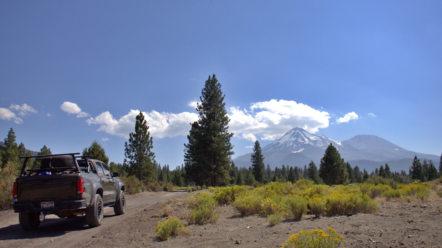

Military Pass Road is a historic backcountry corridor where immense and ever-changing views of Mount Shasta unfold around nearly every bend. Winding along the mountain’s northern and eastern flanks, the route connects Highway 97 northeast of Weed with the forest road network east of the mountain and, through several connecting roads, Highway 89 near McCloud. Along the way, the landscape shifts from open volcanic country to dense fir forests, broad mountain meadows, and the rugged drainages of Ash, Gravel, and Swamp Creeks.
The story of Military Pass Road reaches back to the California Gold Rush. Opened as a wagon route around 1854, it provided a more practical connection between Northern California settlements and the booming Yreka mining district. The U.S. Army helped improve portions of the road around 1855, and soldiers later escorted travelers through the region during the conflicts of the late 1850s. This military presence eventually gave the route its enduring name, Military Pass.
Today, the road offers an unforgettable Mount Shasta backcountry adventure. Dispersed camping opportunities appear throughout the journey, ranging from open sites with commanding views of the mountain to peaceful clearings beneath towering firs. Numerous side spurs provide additional places to leave the main road, find a quiet campsite, and spend the evening beneath the vast Northern California sky.
Road conditions can change dramatically from one section to the next. Travelers may encounter smooth, graded gravel; deep silty dirt; rough ruts; loose volcanic material; washouts; fallen trees; encroaching brush; and lingering seasonal snow. Some passages are narrow enough for overhanging branches to leave a collection of “Siskiyou pinstripes” along the sides of a vehicle. High clearance and 4WD are recommended.
Drivers can use 43N19X as a detour between the junctions near 41.40043, 122.05287 west and 41.35086, 122.00050 west. This easier, two-lane graded gravel road bypasses two severely washed-out creek crossings. Continuing along the creek route generally requires a capable high-clearance vehicle with 4Lo, favorable conditions, and an experienced driver. For those properly equipped and comfortable with washouts and log-crossing challenges, the creek crossings add a rugged and memorable chapter to the journey.

