


By clicking "ACCEPT", you agree to be the terms and conditions of each policy linked to above. You also agree to the storing of cookies on your device to facilitate the operation and functionality of our site, enhance and customize your user experience, and to analyze how our site is used.
Washington Off-Road Trails
187
Total Trail Guides 183

1735
Detailed Waypoints 153
Try a Free 7-Day Trial and unlock it all
Start a Free Trial Most Recent Trail Reviews
Rated 4/5
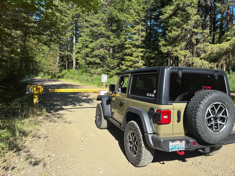
Open
Visited: 06/21/2026
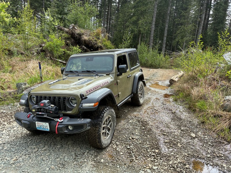
In between waypoints 14 and 15, there is a washout that sort of pinches the road that full sized vehicles should be aware of. There are flags marking the washout on both sides of the road, but the gro...
ES
Eric S
Richard Goins
Richard Goins
Rated 4/5
Open
Visited: 06/14/2026
Great trail! Perfect length and difficulty for a weekend trail ride, great scenery.
Richard Goins
Rated 5/5
Open
Visited: 06/08/2026
An easy trail to run, even in the pouring rain we had all day. It has fun, off camber (30) switchbacks and climbs and descents (22). A tedious drive to reach the Jones Creek ORV Trail Head, but the ...
Larry Fandrich

Todd
Official Crew
Todd
Official Crew
Rated 3/5
Open
Visited: 06/01/2026
Nice dirt road usable to access the main Tahiti trails. Some pretty gnarly potholes, but that’s about it.
Richard Goins
Rated 4/5
Open
Visited: 06/01/2026
Very fun and decently spicy trail!
Much harder than the listed rating. Be warned. Probably a 5.
Richard Goins
Rated 4/5
Open
Visited: 06/01/2026
Fun little loop trail with some nicely spicy side obstacles. 😊
Just because it’s an easy trail for the ORV park, doesn’t make it a 1 difficulty. For consistency with all trails, this should be lik...
Richard Goins
Rated 2/5
Partially Open
Visited: 06/01/2026
Gate was closed just past the 2nd campground.
Richard Goins
Rated 4/5
Open
Visited: 05/31/2026
I don't know why this is rated as "easy", this is an incredibly tight trail, and I had to back up to make many of the turns in my Jeep XJ. There were a couple of spots where I barely squeezed through ...
MB
Matt Blank
Rated 2/5
Open
Visited: 05/31/2026
Road has been cleared of trees that were previously blocking.

Jason Racey
Rated 3/5
Open
Visited: 05/30/2026
Decent trail, but it is very brushy. You can be run through it, but you will come out the other end with a few light scratches—nothing that can't be worked out.
Lukas Wahl
Rated 5/5
Open
Visited: 05/30/2026
There is a great trail that has some steep sections. The difficulty rating on this trail varies depending on the conditions. When it becomes wet, it gets much more challenging. Also, the trail on trai...
Lukas Wahl
Rated 2/5
Open
Visited: 05/24/2026
One of the gully traverses east of the intersection with Green Divide North partially washed out over the winter. There's just enough road bed remaining for one vehicle. The runout is dangerous though...
Jason Racey
Rated 2/5
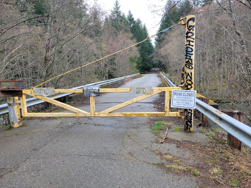
Temporary Closure
Visited: 05/24/2026
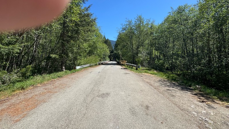
Bridge on NF-5400 1 over Snow Creek is closed due to fill under west end of bridge being partially washed out. No ETA was given on signs.
Jason Racey
No Rating
Open
Visited: 05/24/2026
Trail's still open; no snow. Potholes are getting kinda gnarly, though. Lots of people on the trail for Memorial Day weekend.
Richard Goins
No Rating
Open
Visited: 05/17/2026
Wide open. NOTE: The water level is very high so there is no 'beach' area at any of the sites. The vault toilets are open at the final site.
Also, considering this is a drinking water reservoir, it w...
Jason H Martin
Rated 5/5
Open
Visited: 05/15/2026
Descriptions are very accurate on this beach. Easy drive in the hard sand. More challenging the softer the sand is. Great views over the ocean.
John Kapelski
Official Crew
No Rating
Seasonal Closure
Visited: 05/11/2026
Headed out from i90 hoping the snow was gone, given the sheer lack of snow all year. Got to approx mile 20 on trial then his patch of snow behind mountain shade (7037). Was wide open to that point. Gr...

Trent Thompson
No Rating
Partially Open
Visited: 05/11/2026
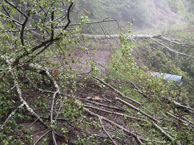
Gate open! However shortly past way point 3 the route is blocked by downed trees.
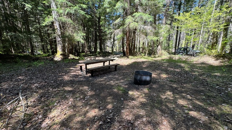
Within a half mile of the bridge look to your right for 5 camps sites. Some with fire rings, picnic tables, and tent...
John Kapelski
Official Crew
Jason H Martin
Jason H Martin
Rated 5/5
Open
Visited: 05/09/2026
Trail was open. Small amount of snow during the last .2 miles so we parked out and walked to the lake. It wasn’t anything serious - just ruts that were a little deeper than I was comfortable going ove...
JN
John Nguyen
Rated 4/5
Partially Open
Visited: 05/08/2026
There is now a massive gate keeper on the trail that turned the later half of the trail into a rock crawl section. Fun as heck, but most people will not even attempt this without a lifted vehicle.
RW
Ryu W Jones
Rated 3/5
Open
Visited: 05/08/2026
Tight trail. Short but fun. A bit of a challenge to get to if you don’t know Walker Valley.
Richard Goins
Rated 4/5
Open
Visited: 05/01/2026
Trail is open for the season. A lot of work has been done to the trail to the point where I would only rate this at a 3 as of now. Many formerly challenging spots have been filled with gravel, includi...
.jpg)
Michael Eaquinta
Rated 4/5
Open
Visited: 04/26/2026
Ran into some snow shortly past WP14, probably could have gone further but didn't want to solo. Some pinstriping but someone has been through with a chainsaw and cleared a ton of blowdowns.
View fro...
Jason H Martin
No Rating
Open
Visited: 04/19/2026
Tons of large potholes
Tons of people
Lots of shooting areas
Christine & Robert Law
No Rating
Seasonal Closure
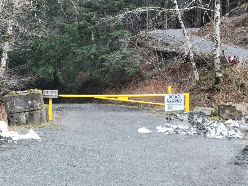
Visited: 04/11/2026
Sign on gate indicates closure until May 1.
Jason H Martin
Jason H Martin

Jasmine & Jon Hughes
Official Crew
Jason H Martin
No Rating
Seasonal Closure
Visited: 03/31/2026
According to this trails management agency, the trail is likely closed for the season.
You can reach out to the agency for more details.
Be sure to leave us a report and let us know ...

Trails Offroad
No Rating
Temporary Closure
Visited: 03/29/2026
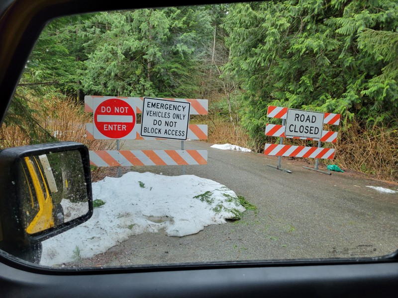
About a 1/4 mile in is a washout with a surprisingly shiny 'ROAD CLOSED' sign.
Jason H Martin
No Rating
Temporary Closure
Visited: 03/29/2026
Tinkham road is still closed for the winter.
Jason H Martin
Rated 4/5
Open
Visited: 03/29/2026
Super easy road, a few good puddles, and a shooting area at the end.
Jason H Martin
No Rating
Temporary Closure
Visited: 03/29/2026
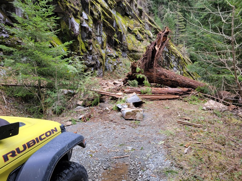
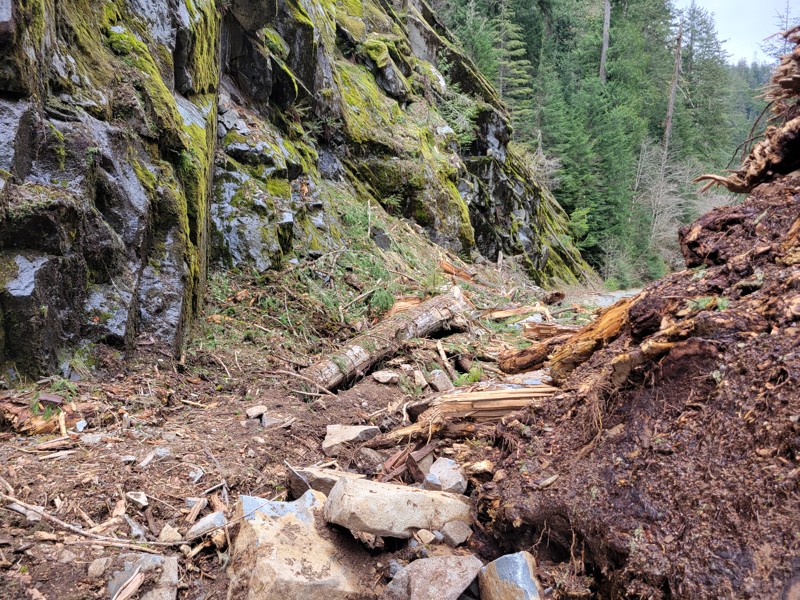
Shortly after the trailhead is a landslide blocking the road.
Jason H Martin
No Rating
Seasonal Closure
Visited: 03/21/2026
Gate is closed at WP7. Trivial amount of snow alongside the road, the road itself was entirely clear.
Jason H Martin
Rated 5/5
Open
Visited: 02/26/2026
Awesome trail! Gets a little bit more difficult in the last mile. Connects with Forest Road 5730, but that road is closed about a half mile in as marked by the closure sign. Max altitude was about 200...

Bart Meltzer
Rated 2/5
Open
Visited: 02/22/2026
Just a short connector trail. Not much scenery or any cool obstacles.
Richard Goins
Rated 5/5
Open
Visited: 02/14/2026
snow was looking good when we were there but temps were melting the snow pack off that was amazing in January. take your time and travel slow.
Mitch Eld
Rated 4/5
Open
Visited: 02/13/2026
Not much snow heading up on Friday, but we still needed chains for the last mile or so up to the lake. But we're in a 4 ton camper van. There were jeeps with bigger/ better tires that made it up uncha...

Jonathan Sandelin
Rated 3/5
Open
Visited: 02/12/2026
Decent trail, decent length. Not a lot of scenery.
Richard Goins
No Rating
Temporary Closure
Visited: 01/25/2026
Though the route was
Passable, FS has closed the area. You can get around with Slab Camp.
Jasmine & Jon Hughes
Official Crew
Jasmine & Jon Hughes
Official Crew
No Rating
Open
Visited: 12/31/2025
The previous temporary closure from 08/25/2025 has expired.
Trails Offroad
Most Popular


Updated: 08/27/2024
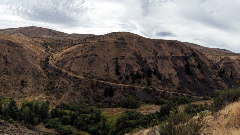
Stampede Pass
Temporary Closure
/
Greenwater, Washington/
12.41 miles/
About 3 hours
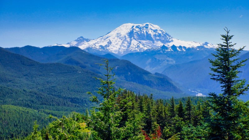
Stampede Pass is a mountain pass through the Cascade Range, just south of Snoqualmie Pass in Washington. Its importance to transportation lies almost entirely with railroads, as no paved roads cross it. The pass was originally created to build and maintain the railways that traveled in both directions across the Cascade Mountains in Washington State. The incredible views of Mount Rainier and the surrounding Cascade Mountain range make this 12-mile offroad trip worth the time.
Updated: 08/08/2025
Naches Trail
Seasonal Closure
/
Snoquera, Washington/
12.4 miles/
About 4 hours
Traversing the mountain spine of the Cascades, connecting western and eastern Washington, the Naches Trail is a demanding trail known for its technical terrain, stunning alpine scenery, and deep historical roots. Naches began as a Native American trade route and later served as a settler wagon trail, a military route, and a cattle path. The Longmire wagon party crossed it in 1853, and Jeep clubs revived it in the 1950s, preserving its legacy as an offroad trail. Though once proposed as a state highway, it remains undeveloped, offering a raw driving experience that winds through dense forests, opens to sweeping ridgelines with views of Mount Rainier, and passes through peaceful meadows. Proudly wearing the distinction as a Jeep Badge of Honor, Naches is a seasonal trail that delivers a blend of challenge, beauty, and heritage that defines Pacific Northwest off-roading.

Updated: 05/04/2024
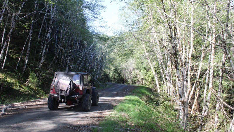
North Fork Snoqualmie Road
Snoqualmie, Washington
Located just outside of North Bend, this route affords visitors from the Seattle area access to the wild forest without requiring a long drive. Although not technically challenging, this road offers great views of the Snoqualmie River, making it a top destination for fishing and kayaking enthusiasts. Looking for some free camping? Well, you would be making a good choice by taking this route as there are many campsites scattered along the way. Several primitive trails allow vehicle access right down to the riverbank, making for great picnic or camping opportunities. Due to its low elevation, this road is accessible throughout the year, which also makes it rather popular in the winter months. Those looking for more adventure can continue along one of the several forest roads that branch out at the end of this route.

Updated: 06/27/2024
FS-75 to Lonesome Lake
Greenwater, Washington
Lonesome Lake is a beautiful crystal clear alpine lake that is located at the top of FR-75. The name of the lake was adopted in the winter of 1935 when a young couple that made many trips to the lake got in a huge quarrel and split up. While Johnie and Clyde were split, Clyde went to the lake where he ended up snowed in with 8 feet of snow. While sitting lonesome by the fire one night he grabbed a piece of steel heated it up and wrote the words, "Lonesome Lake" on a piece of wood and nailed it to a tree. The name took like glue and today the lake is visited by more than 4000 people per year. The incredible views of Mount Rainier and the surrounding Cascade Mountian range make this 15-mile trip well worth the time. On a clear day, there will be many opportunities to take some stunning photos of majestic Mount Rainier.

Updated: 09/04/2024
NF 7720
Wilkeson, Washington
NF-7720, just outside Wilkeson, WA, is in the Mt. Baker - Snoqualmie National Forest. This road is a 15.39-mile journey to "Cedar Lake" overlook. Cedar Lake is landlocked with no road access. There is a hiking trail at the end of the trail that you can take down to the lake for a truly magical experience. The road is picturesque and presents various challenges throughout the year. The trail can become muddy with early snowmelt in the spring and late fall rains, adding an element of difficulty for travelers. It winds through a network of Forest Service roads, offering stunning overlooks of Mount Rainier to the south, Tacoma and the Puget Sound to the west, and, on a clear day, the Canadian Cascades to the north. As travelers venture further, the last couple of miles become increasingly rugged, featuring a steep Hillclimb that leads to the end of the trail and the lookout onto Cedar Lake. Vehicles and passenger cars with high clearance and four-wheel drive may need help to navigate this demanding terrain. Additionally, the road travels through old-growth forests, providing a scenic and immersive experience for those who brave the journey.

Updated: 05/04/2024
Spada Lake
Open
/
Gold Bar, Washington/
9.25 miles/
About 2 hours
Spada Lake trail crisscrosses over Olney Creek as you climb up to Sultan Basin and Spada Lake Reservoir, surrounded by the Bald and Blue Mountains in this peaceful and windy wooded forest. Enjoy the quiet scenery of Spada Lake, or make a day of it and hike to Grieder and Boulder Lakes, which begin at the South Shore Recreational Site.

Updated: 02/25/2025
Fortune Creek Trail
Roslyn, Washington
Fortune Creek trail is located just North of Roslyn, Washington (home of the hit TV show "Northern Exposure"). It is only accessible for four-wheel drive vehicles from the middle of June till November. With the trail connecting to several other great trails in the area, it makes for an excellent day trip. It is a very easy nontechnical trail that can be enjoyed by any four wheel drive vehicle with adequate ground clearance. This trail follows an old mining road that was cut back at the turn on the century in search of gold. If you look carefully you will still see Federal mine claim signs just off the trail and old rusted mining equipment. At the end of the six mile trail, you will be surprised to find beautiful Lake Gallagher. This trail is filled with beautiful vistas, large mountains, and many areas to camp and explore.

Updated: 06/05/2024
Skyline
Open
/
Camas, Washington/
2.96 miles/
About an hour
Exciting terrain awaits you as you wind up through a clear-cut area. The off-camber areas might have your passengers a little worried, but with patience and care, you reach the skyline with some gorgeous views of the surrounding valleys and glimpses of Mt. Adams. After you take in the views, you then dip back down into the next valley through cool, dark old-growth forest, leading you to a few other trails in the area such as Snaggle Tooth and Screech Owl. This will make for an awesome afternoon with a little something for everyone.

Updated: 04/22/2024
Bethel Ridge
Naches, Washington
Bethel Ridge is a nearly 6-mile-long drive through the Okanogan-Wenatchee National Forest. Bethel has many things to offer, like views of the surrounding mountains, including Adams, Rimrock Lake, and of course an amazing ridgeline view. A frequent attraction of travelers on this road is taking a picture of their vehicles overlooking the ridge below, in Waypoint 4. After the viewpoint, you’ll turn left into the woods, and face some challenges, including various dips and a few shallow drop-offs into small water holes. After this romp among the trees, the trail opens up again for a leisurely drive as you finish the trail, and enter DNR land.
This trail is part of the Washington Cascade Overland Route. Visit Cascade Overland Route for more information, including which trails to take next. If you are already following the Washington Cascade Overland Route, this will be the first trail posing challenges, though not the last.
Updated: 07/01/2023
Bon Jon Pass
Blyn, Washington
Bon Jon Pass is one of many long trails located in the Olympic National Forest and has historically been used for logging. During your trip through the dense evergreens, you’ll pass through valleys and high ridges with an occasional view of the eastern Olympics. The Mount Zion hike is a popular interest as well. The hike is just under 2 miles in length and has an elevation gain of over 1,300 feet. At its peak, you will find additional views of the Olympics with a bit of searching. In the winter, if you are lucky, it may snow and transform Bon Jon Pass into an easy snow wheeling trail or a winter wonderland for the family. So, take some time and get lost in the woods, just for a little bit.

Updated: 06/03/2024
Roaring Ridge Lookout
Hyak, Washington
While driving eastbound over Snoqualmie Pass, Roaring Ridge is a noticeable mountain on the other side of Keechelus Lake. Once the site of a fire lookout that has since been torn down, the trail leads up a ridge with scenic views of Lost and Mirror Lakes, terminating at a wide-open area with an amazing panoramic view. From the summit, Interstate 90 is clearly seen as well as surrounding peaks, almost in an unobstructed 360-degree view. The relative difficulty of this route means you typically get to enjoy this scenic location all to yourself. This route provides drivers with a mild challenge and views that are arguably some of the best in the cascades. During the fall, this trail is lit up with all sorts of red, orange, and yellow hues.

Updated: 09/24/2023
Cayada Creek
Wilkeson, Washington
Cayada Creek is a forest service road used to explore some really interesting places. First is the Clipper Mine, an abandoned mine that is still accessible. Take your flashlights and explore more than 100 yards deep into the belly of the mountain. Next is Coplay Lake, this is a high alpine lake with a few camping spots and some very good trout fishing. There are a few spur roads that lead you away to lookouts and weekend camping spots along the way to explore. The final destination is the hiking trailhead for Summit Lake Trail, a short 3-mile hike and access to a network of hiking trails that lead you to some pretty spectacular scenery. You can spend an entire day exploring all the fun this forest road has to offer.
Updated: 06/20/2023
Twin Lakes
Glacier, Washington
Twin Lakes is a campground and hiking trailhead located 7 miles deep and 1 mile high into the Mt. Baker-Snoqualamie National Forest. This hidden gem in the Cascades won't disappoint. Getting its namesake from the pair of lakes tucked away high in the Northern Cascades, the trail is surrounded by trees for most of the drive, with several small waterfalls scattered throughout. Twin Lakes has a few designated campsites spread around the lakes, though there are plenty of level spots dispersed spots to make camp as well. Once you set up camp, there are additional trails to continue hiking through the mountains.

Updated: 05/11/2024
Hansen Creek - NF 5510
North Bend, Washington
The trail is a nice gravel road that can lead you to some beautiful hiking destinations. Humpback Mountain, Little Saint Helens, and Scout Lake are all short trails that have their hiking trailheads at various spots along this forest road. Note that short does not mean easy in this case, you will work your way over rocks, steep hills, and a few ruts to get to the unique and picturesque views. If the snow level drops to 3000ft don't forget to spend some time at the parking lot/borrow pit at the end and enjoy the tranquility.
Updated: 06/21/2022
Entiat Ridge Road
Cashmere, Washington
Entiat Ride Road is a great trail packed with fascinating history, beautiful views, and unique camping. The trail starts out near the summit of Chumstick mountain; a prominent point on the long Entiat Ridge. A cabin was built at the summit in 1931, though it was removed in 1967. As the route continues on, you’ll pass by Sugarloaf, a fire lookout that’s still actively used. It’s staffed by a seasonal fire lookout, so a visit may lead to some great stories, but please be courteous and respect their privacy. Entiat Ridge provides both wide-open views and confined treed areas, as well as long stretches of fast cruising, and slow ridgeline driving. For campers, there is plenty of dispersed camping available, but White Aspen Camping offers a more lavish experience. The trail is located 13 miles north of Cashmere, 10 miles east of Leavenworth in Okanogan-Wenatchee National Forest, and is a great choice for overlanders, hikers, and history buffs alike.
Sugarloaf Peak is both one of the earliest established and still actively used fire lookouts in Washington State. When it was first established in 1914, the lookout was merely a campsite with fire finding instruments atop basalt columns. The route to and from the site was a primitive road and sheepherder trail from the town of Leavenworth. In 1924, a more permanent D-6 cupola structure was created at the summit, requiring blasting to remove some of the basalt pinnacles to lay the foundation. The nearby roads were extended, and a wood frame garage was also erected nearby the lookout. In 1949, the structure from 1924 was replaced by an L-4 cab that had been taken from Lion Rock and relocated to Sugarloaf.
Several wildfires have threatened Sugarloaf over the years, the first being the 120,000-acre Entiat Fire, and again in 1994 by the Tyee-Hatchery fire, which encompassed 180,000 acres. The lookout, Karl Rahder, had been forced to evacuate and was informed that the lookout had surely been destroyed. Thankfully, it had survived thanks to a Forest Service Strike Team leader, who had used a flare gun to ignite the area around the tower. Unfortunately, the garage and outhouse were lost in the fire. In 2018, the lookout was threatened once again by the Cougar Creek fire, requiring evacuation of Sugarloaf. Fire crews wrapped the lookout in fire reflective heavy foil, and the fire stayed about a quarter-mile away.
This trail is part of the Washington Cascade Overland Route. Visit Overlanding Across Washington for more information, including which trails to take next.
Updated: 02/05/2025
NF-6808
Carson, Washington
NF-6808 is an easy trail that takes you from the southern edge of Washington, near the Columbia River, into the Gifford Pinchot National Forest. A nice area with light trails, that is welcoming for newcomers and experienced travelers alike. While it lacks in challenges, NF-6808 leads you on to further adventures deep in the forests and mountains of Washington. This trail is part of the Washington Cascade Overland Route. Visit Overlanding Across Washington for more information, including which trails to take next.

Updated: 06/23/2023
Lennox Creek
Snoqualmie, Washington
Lennox Creek is a tributary of the North Fork Snoqualmie River located just 38 miles outside of Seattle, making it a popular weekend getaway for local residents. The recently repaired Lennox Creek Bridge now allows vehicle access to this trail which for many years was limited to hikers and foot traffic. Access to this area provides visitors with a gateway to miles of alpine splendor and not often visited lakes. This trail runs along the bank of the creek and is a relatively easy drive through the forest. Most notably the trail offers vehicle access right down to the water at several points, a rare treat for offroad enthusiasts. Kids and dogs are sure to enjoy exploring the riverbank and sandbars. Additionally, several hiking trails stem from this route such as the Bare Mountain hiking trail.
Access to Lennox Creek is provided by following the scenic North Fork Snoqualmie Road, which can be found on Trails Offroad as well. Combining these two trails makes for a great day of exploring.
Updated: 06/29/2024
Tonga Ridge
Skykomish, Washington
Situated just outside of Skykomish, Washington, this trail takes visitors away from the relatively low elevation of Highway 2 to and up a peaceful mountain road, providing drivers with scenic views throughout the Cascade Mountain Range. Relatively easy to traverse and typically less busy than other roads in the area, this makes Tonga Ridge a good destination for day-trippers and campers alike. Wildlife is often spotted on this road, and several hiking trailheads are scattered along its length.
Updated: 04/01/2025
Tahuya/ South Loop
Belfair, Washington
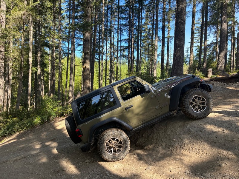
Tahuya State Forest ORV area is a 4x4 destination for both beginning offroaders and seasoned veterans. While this forest trail system does have man-made rock gardens, for the most part, the only hindrance to stock vehicles would be the depth of the standing water in the winter months. Of course, if you are stock, or only slightly lifted, you might want to remain a spectator at the rock gardens since they were put in for more modified rigs. Tahuya has been nick-named "2-Wheel Tahuya" as most of the trails are fairly easy. But in the last few years, that has started to change. There is not really a good map produced that shows all of the trails in this park. The park is a confusing mixture of 4x4, motorcycle, and ATV trails. Other trails are restricted to walking and mountain biking. Tahuya South Loop takes you on a journey through what used to be an untouched forested area but is now clear-cut. Expect to hear your springs popping and undersides scrapping since this trail was designed to max out your suspension.

Updated: 05/02/2024
Mt. Walker
Quilcene, Washington
Mt. Walker is a must stop if you want a leisurely drive to one of the tallest mountain peaks closest to the Hood Canal. 100-year-old Douglas fir trees cover the thriving mountain, which was once burned down by a fire. An abundance of songbirds can be seen and heard from the Mt. Walker viewpoints as well as other birds, such as hawks, owls and grouse. In the distance, major metropolitan areas can be seen. Everett is 33 miles away to the north and seen from the north viewpoint; Seattle, 28 miles to the west as seen from the south viewpoint and Tacoma is 39 miles away, also seen from the south viewpoint.
Updated: 05/15/2024
Kaner Flats
Cliffdell, Washington
Kaner Flats (4W676) is situated in the Okanogan - Wenatchee National Forest with the trailhead located in the Naches Valley. This area is well known for its camping, hiking, and miles of off-roading trails and roads to explore. In the early 1800's settlers seeking a passage to the Puget Sound area used this valley as launching point up and over the Naches Pass. This trail encompasses all of the attributes of a Washington trail and includes a huge change in elevation, over 4000 feet to the Manastash Ridge. There are numerous hill climbs that, when wet, can pose a serious and often dangerous situation for an inexperienced driver. Kaner Flats is anything but flat, winding its way up through mature growth timber and visiting many mountain meadows, lakes, and marshes. This trail culminates with a route over about 2 miles of lava fields left from early prehistoric periods. The soaring volcanic cliffs these boulders fell from and continue to fall seem like an impenetrable wall keeping you from finding a trail to get up there. Imagine driving a few miles on bowling balls that move under your tires, and you get the idea. This trail is popular with many types of vehicles to include side-by-sides, ATVs, and dirt bikes so navigate carefully and look for oncoming traffic. A beginner driver will not want to attempt this trail as there is a certain about of skill and situational awareness necessary for picking the correct lines on obstacles that have no bypass. A modified 4x4 with a lift and larger tires with recovery gear are necessary to avoid unnecessary damage. This trail has something for everyone and is a must-do for the Manastash area of trails.
Updated: 06/05/2022
NF-2870
Blyn, Washington
NF 2870 is a long trail that takes you 20 miles deep into the Olympic National Forest. There are rivers and creeks passing through, and winding roads deeper into the trail. It is the direct path to several hiking trailheads, including Gray Wolf Trail, Upper Dungeness Hiking Trail, and Silver Lake Way Trail. This is a perfect road for anyone wanting to explore deeper into the area on an easy road.
Updated: 09/25/2023
Durr Road
Ellensburg, Washington
Located in the northern portion of the Wenas Wildlife Area, about 10 miles south of Ellensburg, Washington, Durr Road is a trail with scenic views and local historic significance. The trail begins atop Umtanum Ridge, near a radio tower, and continues down into the valley below, crossing Umtanum Creek by a small bridge at the bottom. After completing the climb following the creek, a look behind reveals a magnificent view of the valley you just traveled through, including the switchbacks that lead Durr Road into failure. During the 1870s, as roads continued to improve, settlers began claiming land in Eastern Washington. Shushuskin Road was part of that route, carrying mail, freight, and passengers over 150 miles from Dalles, Oregon to Ellensburg, Washington. An alternate route was built by Jacob Durr in 1882, which crossed the Umtanum Ridge from the Wenas Valley, before rejoining the Shushuskin Road. Although the bypass saved travelers 10 miles from their journey, the route was quite steep and required turntables; platforms that allowed a wagon and its horse team to turn at the switchbacks. Between the difficulty and the high cost of $25 annually, the toll road did not see much use. As one stagecoach driver concluded, “There is no hell in the hereafter; it lies between The Dalles and Ellensburg.” The trail is now much tamer than it was in its inception. It’s now both a pleasant day outing, as well as a great addition to a much longer trip. This trail is part of the Washington Cascade Overland Route. Visit Overlanding Across Washington for more information, including which trails to take next.

Updated: 10/22/2025
Skok Wynoochee Crossover
Mohrweis, Washington
Are you ready to get into a remote wilderness seldom traveled? Skok Wynoochee Crossover, FS-2300, in the Olympia National Forest, starts north of Belfair and travels through wonderful old-growth and timber management areas. Several small, deep, clear ravine lakes would be fun to explore. The road winds 32.90 miles ending at Wynooches Lake, 35 miles north of Montesano. This area is very remote, so plan your fuel usage accordingly since Montesano is the closest fuel point. While no campsites were noted along the trail, smaller spur roads should provide excellent camping areas.
Updated: 06/15/2024
Manastash Ridge
Cliffdell, Washington
Manastash Ridge Trail is located in the Okanogan - Wenatchee National Forest in the Manstash Ridge ORV area. This trail cruises along the Manastash Ridge with beautiful views of Mt. Rainier and Mt. Adams as well as the deep lush valleys below. This trail features some steep and challenging hill climbs along with a small section that requires some medium rock crawling. This is one of the longest trails in this area and it ends at Quartz Mountain with some incredible views. You can see Mount Rainier & Adams to the south To the north you can see the Cascade Mountains deep into Canada, 160 miles away. There are many other trails that intersect with Manastash Ridge creating combinations that could range from a long day or to an entire weekend of wheeling fun.

Updated: 06/15/2024
Sun Top Lookout
Greenwater, Washington
SunTop lookout Fire Station is a must-visit for an awesome view of Mt. Rainier and a chance to view a piece of history. Built in 1933, the lookout station is manned and maintained by volunteer organizations during the summer months keeping watch for forest fires in the surrounding valleys. The views are the highlight of this location. Once at the top you have an amazing view of Mt. Rainier 10 miles to the south as well as the valleys below. The drive up is very steep and rises over 3000 feet in just 5 miles but the road is very well maintained. During your ascent, you will travel through some old-growth forest and some areas that have recently been harvested. Your chances of encountering elk and deer are very good so care and vigilance should be taken during your drive.

Updated: 06/15/2024
Van Epps Pass
Ronald, Washington
Located in the Salmon La Sac Recreation Area of the Okanogan - Wenatchee National Forest, Van Epps Pass trail is just North of Roslyn, Washington, home of the hit TV show Northern Exposure. The trail is only accessible for four-wheel-drive vehicles from the middle of June till November. This trail, combined with several other great trails in the area, makes for an excellent day trip. Van Epps Pass has several technical sections that can present the driver with some challenges, including a drive up a dry creek-bed and some stream crossings. The fantastic views of the surrounding snow-covered mountains and picturesque alpine meadows reward those that take on the challenges of Van Epps Pass.
Updated: 05/20/2026
Greenwater Road
Greenwater, Washington
Greenwater Road, FS-70, is a Forest Service road that allows access to the Naches Trail, Pyramid Pass, and Stampede Pass. The road is mostly maintained and climbs in elevation to 4,800 feet, ending at "Government Meadows Horse Camp." Although designed for those with horses, there are no restrictions on its use.
Updated: 07/03/2024
Hart’s Pass
Mazama, Washington
Slate Peak may be the tallest, but Hart’s Pass contains the terror. Believed to be the most dangerous road in Washington, the narrow road contains many twists and turns, with drops of several hundred feet. Oh, and there’s no guard rail. Anywhere.
Hart’s Pass was created in 1893 to be used with gold and silver mines. Today, it’s mostly used to travel to Slate Peak and the Pacific Crest Trail. This trail is beautiful with many spectacular views, but it is not for the faint of heart; it will definitely test your nerve. Trailers are not allowed on the trail, and larger vehicles such as RVs should also not be taken.
Updated: 06/09/2026
Tahuya 84N
Belfair, Washington
Tahuya State Forest ORV area is a great 4x4 destination for beginners up to seasoned veterans. While this forest trail system does have some challenging man-made rock gardens, for the most part, the only hindrance to stock vehicles would be the depth of some of the standing water in the fall, spring, and winter months and, of course, the "Rock Gardens" that were put in for more modified rigs. Tahuya has been nick-named "2-wheel Tahuya" as most of the trails are fairly easy. But some trails are definitely not for beginners. This makes it the perfect place for beginners to gain some skills before attempting more difficult trails. There is not really a good map produced that shows all of the trails in this park as some are 4x4, some are for motorcycles/ATV's, and some are just for walking/mountain biking. This trail write-up is called "84N". 84N is a loop trail that can be run in either direction. On this trail, you will encounter large mud-pits in the spring and fall months. There are also some stunning views of the surrounding "Olympic Mountains." This is just one of the many routes to explore in this ORV area. As a reminder, always tread lightly, stay on the trails, and follow the purple 4x4 triangles for other trails in the park.

Updated: 07/01/2024
FR 119
Easton, Washington
The area around Lost Lake, just directly south of Snoqualmie Pass, is a treasure trove for those looking to explore and find spectacular views and secluded campsites. Branching off of FR-5483, this route follows several forest roads (FR-114, 115, 119) up the mountainside to scenic views of Lost Lake and the surrounding peaks. Although short, at just under 5 miles, this trail provides visitors with several scenic views and excellent dispersed camping opportunities. This area is typically inaccessible when snow is present in the lowlands, so be sure to visit this area in late summer/early fall. In the fall, colorful foliage makes this route a prime spot for those looking to observe the changing seasons.
Updated: 01/28/2024
Tahuya / Trail 55
Belfair, Washington
55 Trail is in the Tahuya State Forest ORV park outside Belfair, WA. The Tahuya State Forest ORV area is a popular 4x4 destination. This park was designed for beginning wheelers up to seasoned trail veterans. Trail 55 is located at the southern end of the park beginning on access road G-3000. 55 Trail has man-made obstacles making it significantly more interesting. The trail undulates with deep opposing holes designed to flex your vehicle's suspension, so be listening for the pop of your springs as your rig is stretched. The 15 man-made rock obstacles spread throughout the trail have a bypass to allow stock vehicles to try these obstacles. This trail is perfect for beginner drivers to gain experience on rocks.
Updated: 02/11/2023
Old Durr Road
Selah, Washington
Are you ready to navigate an old covered wagon route? This road has some significant history as one of the first "Toll roads" in the state. The road traverses some beautiful high mountain desert, and tumbleweeds can usually be seen rolling down the road. This part of Washington can be stunning in the spring, with early spring flowers in bloom. At the top of Umtanum Ridge, the views back into Ellensburg and the I-90 corridor are fantastic.
Old Durr Road was built around 1880 and offered an alternative to the 28-mile wagon road through the Wenas Valley. The road crosses up and over Umtanum ridge to the Shushuskin Canyon. Jacob Durr, who lived in the Kittitas Valley, built the road over Umtanum Ridge using switchbacks with turntables. These were platform-like flat areas to turn wagons and horses and were used at each turn to navigate the steep hills. Though his route took 10 miles off the trip to Ellensburg, back then, the road was very rough and steep and was difficult on livestock pulling large loads. Mr. Durr charged $25.00 per year or $40 for a lifetime pass. The cost and difficulty prevented it from gaining popularity. Mr. Durr's tollgate was reportedly located at the Umtanum Creek crossing. The route now is very similar to the original road.
Updated: 06/05/2024
Mountain View
Camas, Washington
Mountain View is situated in Washington DNR land in a park called the "The Yacolt Burn." This is the highest trail in the Yacolt Burn OHV. This trail has you climbing up and breaking out onto a clear-cut area with fantastic views of the surrounding valleys and Mt. Adams about 30 miles to the east. After the views, you begin to run downhill, winding and twisting through a stump forest with roots and stumps begging to kiss your fenders as you make your way back to the west into the Yacolt Valley. The spring flowers on this trail are just amazing and are a must-see spectacle that doesn't get any better.
Updated: 06/05/2022
Mid Summit (Moon Rocks)
Cliffdell, Washington
Take your vehicle to the moon! Moon Rocks is a trail packed with unique rock formations resembling the lunar surface of our moon. This trail is as exciting as it is mysterious, with challenges ranging from a casual weekend trip to a hardcore rock crawling adventure. Whether you’re here to play or watch, you’re bound to have a great time, and at 20 miles west of Ellensburg, Washington, it’s a lot closer than the real thing. So, save yourself a 239,900-mile trip, and have a blast reliving your childhood dreams of traveling to the moon!
Updated: 07/15/2024
Rampart Ridge
Easton, Washington
Rampart Ridge is a prominent ridgeline located in the Cascade Range northeast of Hyak, Washington, within the Alpine Lakes Wilderness. This trail follows two separate forest roads and takes visitors to the ridge base with scenic views and pristine forest along the way. Although the road continues further up the ridgeline, significant vegetation overgrowth prevents all but the bravest/most haphazard drivers from moving further up. Although not a particularly challenging route and likely doable in most vehicles, the road gives drivers a chance to give their suspension a bit of a stretch and satiate that craving for adventure.
Updated: 10/31/2023
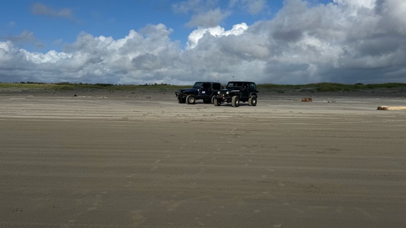
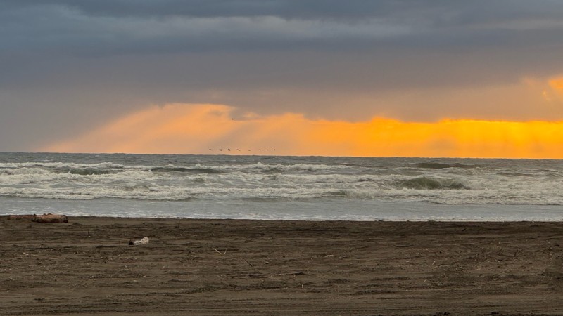
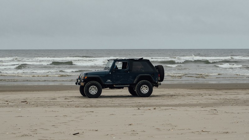
Long Beach
Long Beach, Washington
The World's longest drivable beach is a great place to enjoy a range of activities including kiting, fishing, picnicking, storm watching, biking, and hiking. It is a great family and pet-friendly beach with a rich history. Aside from the physical activities, you can check out the World Kite Museum, eat incredible seafood at any of the numerous restaurants, or check out the distillery. If you drive this beach in July, you may even see the yearly sand castle competition. Whether you are passing through or just looking for an evening away from the house, be sure to check this out!
Updated: 04/01/2024
NF-21 Connector
Packwood, Washington
The nearly 17-mile-long segment of NF-21 is the last trail in portion 1 of the Cascade Overland Route. Starting out near Walupt Lake, your elevation is 3,296 feet, before reaching 4,082 feet after approximately 3 miles. From there it’s all downhill until you reach 1,074 feet. Located at the northern end of the Gifford Pinchot National Forest, the route travels along the Goat Rocks Wilderness to the east, before reaching the end of the forest at the arrival of Highway 12.
At the intersection of NF-1250, it’s a 3.5-mile drive to Chambers Lake and its campground. Hiking trailheads, like Berry Patch Snowgrass, and Goat Ridge are also nearby. Another nearby hiking trail can be found at Waypoint 11, at the intersection of NF-2120. After about a half a mile, you’ll reach the trailhead for Angry Mountain; an 8-mile hiking trail that passes by Angry Mountain about 5.5 miles in, and will have you climb over 3,000 feet before intersecting with the Lily Basin Trail. At Waypoint 9, you’ll cross over Mission Creek. Throughout many portions of the trail, there will be many scenic views to be had on the left side, and near the end, water runoff may produce small waterfalls on the right side of the trail.
At the end of the trail, there is a small switchback before arriving at Highway 12. From there, you’ll want to turn right where the town of Packwood is less than 3 miles away, with full services. Though NF-21 is the last trail of this portion, and it will be another 40 miles until the next trailhead, the drive between waypoints is quite pleasant, traveling through White Pass and along Rimrock Lake.
This trail is part of the Washington Cascade Overland Route. Visit Overlanding Across Washington for more information, including which trails to take next.

Updated: 06/12/2024
Deer Park Road
Port Angeles, Washington
Deer Park Road offers an alternate journey into the Olympic National Park. The drive begins in the forest, with winding roads for a few miles. The trees are plentiful, yet sunbeams breakthrough, giving a beautiful contrast of light and dark. As the trees part, you begin to climb the mountainside, which gives you views into the valley below. Plentiful camping and views of the surrounding Olympics await you on this trip into the Park.

Updated: 11/06/2024
Evans Creek / Trail #102
Wilkeson, Washington
Trail #102 is within the Evans Creek ORV and part of the Mt. Baker Snoqualmie Forest. This trail is one of a dozen available in this park for off-road vehicle use. With over 45 miles of trail riding, Evans Creek ORV is an excellent destination for a weekend getaway. Trail #102 is one of the more challenging trails, with steep elevation climbs and nail-biting narrow turns that are incredibly tricky with high sides. Roots and trees are begging to snag a fender, a mirror, or scratch a hard top. Trail #102 is a trail you won't soon forget.
Updated: 04/15/2024
Cabin Creek
Easton, Washington
Situated just south of Easton in the Yakima River Wildlife Area, Cabin Creek is one of the many trails in the area that is popular with OHV enthusiasts. Due to a washout that destroyed the bridge years ago, access to further portions of the FR-41 trail has been limited to those willing to brave a water crossing across Cabin Creek, where water levels can vary from 1.5-5 feet depending on seasonal conditions. As the trail weaves up and along Cabin Creek, you will find many opportunities to access the river and perhaps enjoy a dip in its crystal clear waters. The challenging and scenic nature of this trail makes for a rewarding experience, with many opportunities to camp in solitude.
Updated: 05/01/2024
Milk Creek Road
Cliffdell, Washington
The moon may be made of cheese, but you’ll need milk to get there. Milk Creek is one of more direct ways to reach the local favorite Moon Rocks. The trail starts out light, but it will pick up some as you venture deeper into the woods. Located about 26 miles east of Ellensburg, Washington, it’s a relatively easy trail with some challenges, that leads to a more exciting experience.
Updated: 12/15/2023
NF-4948
Cle Elum, Washington
Located just east of Lake Kachess, this trail is one of the many roads situated among the ridges surrounding the I-90 lakes. This trail is fairly short and relatively easy, making it a great destination for those who don't want to travel too far but still want to see some great scenery. During the winter, these roads are popular with snowmobiles and the occasional 4x4 snow wheeler. This trail takes you to some nice secluded camping and scenic views and provides access to some excellent hiking.
Updated: 07/19/2023
Lion Rock
Ellensburg, Washington
Lion Rock is a short trail, but holds an impressive view and campsite. Located in the Okanogan-Wenatchee National Forest, 18 miles north of Ellensburg, this trail takes you to the peak of Lion Rock. There you’ll find an expansive view of the valley below, and if you’re able to snag a campsite, you may wake up to see the fog rolling out the following morning. If not, there is an improved campsite earlier on in the trail. This is a great trail for anyone looking for a light drive, a rewarding view, and a memorable campsite.
Many trees in the area are burnt; the result of a forest fire from September of 2012. Caused by a lightning storm, it ultimately grew to over 42,000 acres, causing the nearby town of Liberty to evacuate. Lion Rock began as a camp and tree platform fire lookout in the 1920s. A 40-foot L-4 tower was built in 1932, and a garage-woodshed was added in 1938. A new lookout was then built in 1948, with the first tower being transferred to Sugarloaf Lookout in 1949.
This trail is part of the Washington Cascade Overland Route. Visit Overlanding Across Washington for more information, including which trails to take next.
Updated: 06/05/2022
Tahuya - West Loop
Belfair, Washington
West Loop in Tahuya will put your maneuvering skills to the test like nothing else in the park, especially if you are driving a long-wheelbase vehicle. The off-camber sections will test your mind. The mounds and holes will test your entire rig. Expect to spend a lot of time on two or three wheels if you don't have a good flex in your suspensions. To reduce your risk of damage, always go with someone else, and make sure you have a good spotter through the tougher parts. Overall this trail is worth the effort and adds a ton of extra variety to the Tahuya ORV, adding a more serious challenge. Great props go to the volunteers putting in the hours to make this a great experience for everyone.
This is the newest edition to the Tahuya ORV sponsored by the Washington Department of Natural Resources and the "Quadra-Paws" Jeep club. DNR and Quadra-Paws have upped the ante for Tahuya. Tired of the nickname "Two-wheel-Tahuya", they decided to really turn up the difficulty up a notch.

Updated: 07/01/2024
Obstruction Point Road
Port Angeles, Washington
Obstruction Point is a nearly 8-mile-long trail located on the Eastern side of the Olympic National Park. You arrive there after a 13-mile-long climb from Heart O' the Hills Ranger Station. The road to the trailhead is paved, with plenty of spots to pull over for early views of the mountains. The tallest peak, Mount Olympus, is nearly 8000 feet tall.
The nearly one-million-acre Olympic National Park is located in the North-Western region of Washington state and comprised of Pacific coastline, the western temperate rainforest, drier forest to the East, and the mountainous region in the center. The park was designated as the Olympic Forest Reserve by President Grover Cleveland in 1897, and ultimately as a national park in 1938 by President Franklin Roosevelt.
At the end of the route, there are 4 hiking trails ranging from a third of a mile to 7.5 miles, with overnight hike-in camping. It's a great way to experience the Olympic peaks that most will never know.
Updated: 07/15/2024
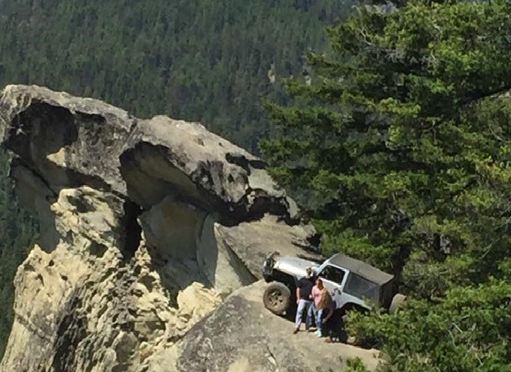
Cougar Springs/Hole in the Rock
Cle Elum, Washington
Cougar Springs Trail, AKA "Hole in the Rock", is the trail that most people flock to once in the Liberty trails system. Everyone wants that Iconic shot of their vehicle up on the rock overhanging the valley 600 feet below. A relatively easy trail for most vehicles, although some tight turns and squeezes keep the bigger rigs away, a narrow axle vehicle with high clearance will have no trouble navigating this trail. Use this trail as a shortcut to get to Lions Rock for a sunset, (another epic photo opportunity), or take this trail to enjoy the scenery at the top of some of the most beautiful ridges in the Eastern Cascades and the Cle Elum Ranger District
Updated: 04/27/2026
Midnight Creek
Greenwater, Washington
In and around the town of Greenwater, all the way up to the entrance of "Mt. Rainier National Park" and the Crystal Mountain Ski area, there is a network of interconnected Forest Service roads that can make for a day of fun and adventure. While most of these roads are not true "Jeep Trails", they do present some spectacular scenery with their stunning views of Mt. Rainier and the surrounding mountain valleys. These roads are also a great way for a novice to get to know their vehicle if they are new to the sport, or a way to just explore and see what lies around the next corner. The spring flowers are really nice, and most bloom well into mid-summer. There are dispersed camping spots all along these roads that are free to use, though you can expect no facilities.
Updated: 05/30/2023
Slide Ridge Road
Chelan, Washington
Slide Ridge Road takes you on an adventure through the Okanogan-Wenatchee National Forest. Located 12 miles West of Chelan, Washington, the trail begins as lightly treed with lots of brush but progresses back into a thick forest. Views of Lake Chelan are plentiful. A climb of over 3,700 feet takes you to the height of the trail, where you’ll find the hiking trailhead of Devil's Backbone Trail. Afterward, it’s a descent of over 4,200 feet, as you head toward the town of Chelan, Washington. This is a vast, beautiful drive covering many miles and several thousand feet of elevation change, spanning over a variety terrain. It’s a great route to take for high-elevation hiking, an overlanding trip, or for a memorable day trip.
This trail is part of the Washington Cascade Overland Route. Visit Overlanding Across Washington for more information, including which trails to take next.
Updated: 07/17/2024
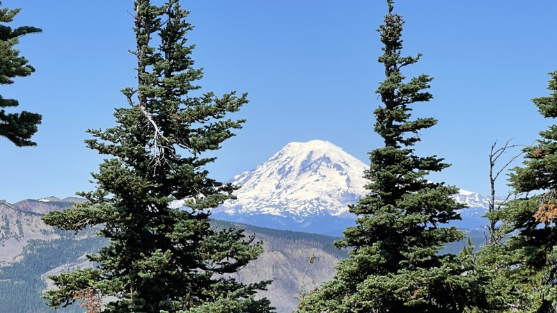
NF-410 to Mount Rainer Viewpoint
Greenwater, Washington
NF-410 is a short unmaintained Forest Service road that takes you on a climb up to 5800 feet to an incredible view of massive Mount Rainer. Along the trip, there are many opportunities to stop and take pictures of the surrounding mountains and valleys. Near the top, you ride the ridgeline and have incredible views on both sides. From this point, you tower over 700 feet above peaceful Lonesome Lake.
At the end of the trial get ready to lose your breath. As the narrow road opens up, you will see Mount Rainer above the tree line directly ahead of you. It feels like you are on a path to the top of the mountain. The blue sky and white snow on the mountain towers above the dark green evergreen trees. This view of Mount Rainer is a magical sight to behold.
Updated: 06/05/2022
Cooper Mountain Road
Chelan, Washington
Cooper Mountain Road is an easy, pleasant drive in the Okanogan Wenatchee National Forest. The trail begins 7 miles north of Chelan, Washington, traveling north into the forest. About a third of the way in, it reaches the summit of Cooper Mountain, at 5,856 feet. There, you can stand on a rocky outcropping, looking at the valley to the west. Near the end of the trail passes by Fox Peak, where there’s a brief and slightly challenging bypass option. This is an easy, long trail with several camping options, and is a nice addition to an already amazing overlanding experience.
This trail is part of the Washington Cascade Overland Route. Visit Overlanding Across Washington for more information, including which trails to take next.
Updated: 03/12/2026
Humps and Bumps
Mount Vernon, Washington
With a name like Humps and Bumps, you would be right to assume what this trail is about, with its many dips waiting to test your vehicle's suspension travel. After the recent logging, Humps and Bumps is now the second Jeep Badge of Honor in Washington State. Along with being a great choice for entry-level rock crawling, the trail also runs directly by the 4X4 Skills Area of the park, giving you a great opportunity to park your vehicle and watch your buddies push their rigs to the max. With so many options along this trail, this is one you won’t want to miss. Walker Valley ORV is comprised of 3,200 acres, with twelve 4X4 trails, and several more ATV and dirt bike trails. The trails offer many challenges like rocks, roots, and ruts. These obstacles will change from season to season, with the addition of snow and rain, which can also produce large puddles and muddy stretches. From the mild to wild, Walker Valley ORV provides something for everyone.

Updated: 04/01/2024
Amabilis Mountain
Easton, Washington
Located just north of Interstate 90, Amabilis Mountain looks over Kachess Lake and the surrounding ridgelines. Amabilis Mountain stands on its own, somewhat isolated from the nearby massive ridgeline ending with Keechelus Ridge. Its proximity to the highway and the relative ease of the route makes it a nice option for those looking for a quick getaway to mountain and forest views. The route follows a fairly well-maintained forest road for several miles, which transitions near the summit to a more muddy and rough area, interspersed with campsites and several areas to enjoy the views. During the winter this winding route to the summit is one of the more well-known cross-country ski and snowshoe trails.
Updated: 11/06/2024
Evans Creek / Trail #519
Wilkeson, Washington
Trail #519 is in the Mt. Baker Snoqualmie National Forest within the Evans Creek ORV park area. It is one of a dozen trails in this park designated for 4x4 use, forming over 45 miles of trail riding. Trails are well marked and rated from Easy to Most Difficult. Trail #519 climbs to the highest point in the park and is a must-ride on sunny days for stunning vistas of Mount Rainier and the surrounding peaks and valleys. Combining those views with hill climbs, off-camber sections, and an unforgiving stump obstacle makes this a trail to remember.
Updated: 06/05/2022
Elbe Hills OHV - Busywild Trail
Elbe, Washington
The BusyWild Trail is the premier trail of the Elbe Hills OHV area. This was the trail JKX "The JK Experience" featured in 2014, it was also the trail that did the most damage to their rigs. In season, the "Busy" is just another trail with rocks and stumps; out of season, (winter) it is to say the least, a mess, a bumper crushing, diff smashing, body denting, window breaking, mirror ripping, mess! Dugout walls of dirt, rocks and tree roots can dwarf even the most lifted vehicles. Off camber holes on tight turns where the only way around are to use your rock sliders or even your mirrors to push you into the right track. Dual lockers, body armor, a winch, and a minimum of 36" tires are the recommended equipment; with good lines and determination a lesser built rig can conquer the trail, but it is not recommended out of season.
Updated: 06/05/2024
Old Ugly
Camas, Washington
Old Ugly is just that, ugly. Looks aren’t everything, though, as this is one of the most fun and exhilarating trails in the Yacolt Burn State Forest. It will keep you on your toes the entire time with its many twists and turns and well-placed boulders to maneuver. While you will be paying attention to your wheel placement, good views of Mt. Adams will be off in the distance for you to see when you look up. Combine this with six other trails in the area for a full day or weekend of off-road fun.
Updated: 11/06/2024
Evans Creek Trail 520
Wilkeson, Washington
Trail #520 within the Evans Creek ORV area is one of a dozen trails designated for 4x4 use for over 45 miles of trail riding. Evans Creek is an excellent destination for a weekend getaway. Trail #519 is one of the more exciting trails, with steep elevation climbs, nail-biting narrow turns, and snow at higher elevations, depending on the time of year. There are also many views of nearby Mt. Rainier and other alpine vistas. Trails are well marked and rated from Easy to Most Difficult. This trail is one of the park's most difficult due to its hill climbs, switchbacks, nail-biting off-camber sections, and tight and twisting turns through 4-6 foot deep root walls. You will remember this trail, whether with reverence or because of the body damage.
Updated: 05/15/2024
Deer Flats Trail
Gold Bar, Washington
Reiter Foothills Forest is a 4x4 Recreation area with trails designated for 4x4's, ATV's and motorcycles. There are 8.6 miles of trails for 4x4 use, with about twice that amount in the planning stages. Reiter is noted for its quality rock crawling trails, and they are rated 9-10 for sure. But there are other trails like this one that is more moderate with lots of tight twists, stumps, and roots to keep things interesting. Although Deer Flats trail is just over a mile long, its many twists and turns make it feel much longer once you reach the end.
Updated: 10/22/2023
Elbe Hills OHV - Mainline Trail
Elbe, Washington
There are two ways onto the Mainline, one is where Sunrise dumps out and the other is from the main road. The trail has a few loop-de-loos and a bit of an area to play at the beginning, leading into a tight trail that will possibly cause some body scraping if you aren't careful. Trees are tight through here and a short wheel base vehicle will have an easier time on this trail; old Broncos and 4 door Jeeps may need to make multi-point turns in some areas. When in season the Mud Bog is sure to mire the best built of rigs; it is a throttle wide open, mud filled playground! Go ahead and think that your lockers and MTs will get you through, but don't count on it, the mud is bottomless and this is one area that never seems to dry up. The best part of the Mainline Trail is the Hill Climb, a 60 degree slope that can turn treacherous with just a few drops of rain. Once you are clear of the trees, the trail turns into basically a logging road which connects you to the other trails in the system.
Updated: 04/01/2024
Evans Creek / NF-7930
Wilkeson, Washington
NF-7930 in the "Evans Creek ORV" area is one of a dozen or so trails available in this park designated for 4x4 use, for a total of over 45 miles of trail riding. Evans Creek is a great destination for a weekend get-away and has a Campground with 23 spaces for use with tents or RV's. There are many views of nearby Mt. Rainier and other alpine vistas. Trails are well marked and even rated from "Easy" to "Most Difficult" NF-7930 is a forest service access road that takes you up into the higher elevations of the ORV area. Here you can access Trails #310, #519 & #520.
Updated: 07/17/2024
Guard Station
Liberty, Washington
If you are down for some "Nail-Biting" hill climbs that will have your passengers looking for hand-holds and some "Oh-Sh#t" moments, this trail is right up your alley. Once at the top, the views of Mt. Rainier in the distance and the surrounding valleys are spectacular. Guard Station is one of many trails located in the Liberty OHV area. Along with a few others, this trail is located on the west side of US Highway 97. These trails are significantly harder than those in the rest of the Liberty OHV on the east side of US Highway 97.
Updated: 05/02/2025
Mowrich Lake Road
Fairfax, Washington
Mowich Lake Road, Highway 165, is located in the Snoqualmie Mt. Baker National Forest, five miles south of Wilkeson, WA. This gravel 17-mile dirt road climbs to just over 5000 feet and ends at Mowich Lake in the Mt. Rainier National Park. On your way to the lake, there are fantastic views of Mount Rainier and the surrounding hills and valleys.
Along this road is Evans Creek ORV, a dedicated 4x4 park with marked trails for 4x4 vehicles, quads, and motorcycles. This park has a fantastic campground with over 40 campsites and vault toilets.
Set in a glacial basin surrounded by beautiful wildflower meadows, Mowich Lake is the largest and deepest lake in the Mount Rainier National Park. There is non-motorized boating and fishing at the lake. The Mowich Lake campground is located near the parking area and supports tent camping only. There is access to many hiking trails, including the Pacific Crest trail which traverses the U.S. from Mexico to Canada. This campground is one of the many overnight stops the distance hikers use.
Because this road travels into the Mt. Rainier National Park, there is a fee to travel to the lake when you enter the park at about the nine-mile mark. The fee is paid using cards at a kiosk as you enter the park. The fee for traveling to the lake is $30 per vehicle and is good for seven days. You can also pay online before you visit. Because of the easy access, the lake is very crowded on weekends.
This road is only open seasonally from mid-July to mid-October, depending on snowfall.
Updated: 08/29/2023
NF-68 (Eastern End)
Stevenson, Washington
NF-68 is an easy trail that continues off of NF-6808 and leads you further into the Gifford Pinchot National Forest. Some narrow portions may cause pinstriping on larger vehicles. Otherwise, this is a nice area with light trails, that is welcoming for newcomers and experienced travelers alike. This trail is part of the Washington Cascade Overland Route. Visit Overlanding Across Washington for more information, including which trails to take next.
Updated: 12/02/2025
Hawkins Mountain Trail
Driftwood Acres, Washington
The Hawkins Mountain Trail, a rugged spur branching off the Fortune Creek route near Gallagher Head Lake, follows the remnants of early-1900s mining roads originally carved into the mountainside by prospectors searching for gold, silver, and chromium. You can still see pilings along this trail, leftover from the mining operations. The trail is short but very steep and might present some challenges to vehicles with stock tires. For those brave enough, there is a reward with some of the most spectacular views of the surrounding mountains. The Wind Turbines on I-90 can be seen 60 miles away on a clear day. The trail winds up the mountain with some twists and turns and gut-wrenching hill climbs, not for the faint of heart. There are some high mountain meadows that are alive with spring flowers. Please stay on the trail and out of the meadows.
Updated: 06/15/2024
Clover Springs
Nile, Washington
If you are looking for an out-of-the-way place to wheel, explore mountainous terrain, and test your driving skills, this is the trail for you. The trail starts on a Forest Service road and steadily climbs through an old-growth forest. At the time of this writing, deadfall trees were blocking the trail. A chainsaw would be a good idea early in the season, as you might be the first one here. There are off-camber areas that can cause white knuckles and rocky hill climbs that may require ground guide assistance. Two more trails in the area are equally challenging, making this area a great way to spend a day.
Updated: 06/05/2024
Hagen Creek
Camas, Washington
Hagen Creek trail is a reasonably easy trail on your way out to the loop lookout. It was built through a mostly clear-cut area that is slowly recovering. The views of Mt. Adams and the valley below are spectacular on a clear day. On the return from the lookout, you can choose to take the easy way, back out the way you came in, or give yourself a challenge. This optional route tests both machine and your nerve as you climb your way steadily through the tight and twisting switchbacks and end up connecting at the top with more trails to explore. Be sure to consider this as a warm-up for a fun-filled weekend!
Updated: 06/09/2026
Lover's Lane
Gold Bar, Washington
Reiter Foothills Forest is a 4x4 Recreation area with trails designated for 4x4's, ATV's and motorcycles. There are 8.6 miles of trails for 4x4 use with about twice that amount in the planning stages. Reiter is noted for its quality rock crawling trails rated up to the 9-10 range. Lover's Lane is a trail that is a lot of fun with a small qualifier to get over to get started. This trail has some very interesting boulders that have to be negotiated, but there are bypasses for those that are not feeling it. The trail wanders through a mature forest with many twists and turns that might be difficult for some longer wheel-based vehicles. This is the most interesting trail for most not looking for rock-crawling.
Updated: 07/15/2023
Table Mountain Road
Ellensburg, Washington
Table Mountain Road begins 17 miles north of Ellensburg, Washington, and brings you into the Okanogan-Wenatchee National Forest. Though you’re back in the trees, the view isn’t what you might expect, as you pass through a forest that is dead and burnt. In September of 2012, a lightning storm started several small fires in the area, ultimately merging into one and encompassing over 42,000 acres, causing the nearby town of Liberty to evacuate. This trail also gives you access to Lion Rock; a short trail with a scenic view and a great campsite. Though not always green and lush, this is an easy trail through the forest with some nice views.
This trail is part of the Washington Cascade Overland Route. Visit Overlanding Across Washington for more information, including which trails to take next.
Updated: 06/05/2022
NF-1500
Naches, Washington
After departing the dense woods of the Gifford Pinchot National Forest near Packwood, Washington, you’ll find a much different terrain on NF-1500, which also leads to Bethel Ridge. Bethel Ridge is a wonderful drive with breathtaking views, but it is more challenging and can get muddy at times. For those reasons, and if heights aren't your thing, staying on NF-1500 is a great choice.
At the beginning of the trail, you may find cattle wandering freely at the lower elevations. After climbing a series of switchbacks, you’ll ascend over 3,000 feet before reaching your maximum elevation of 5,670 feet. As you enter the Okanogan Wenatchee National Forest, the scenery begins to make a noticeable change. While there is still an abundance of trees, they begin to thin out, and you’ll be able to see many of the nearby mountains through some of the barer patches of conifers. The road itself is also drier and dustier than the previous Gifford Pinchot National Forest to the south, and would more resemble northern Arizona than Washington, especially at Waypoint 19. There, you’ll see large outcropping named Red Rock, that would make for a great campsite as well.
After Waypoint 23, NF-1500 becomes paved and continues for several more miles until arriving in Nile, Washington. Though paved, the road is quite narrow and has no guard rail. Pullouts are present, but caution should still be exercised, especially around corners. It's a beautiful drive; just be watchful.
This trail is part of the Washington Cascade Overland Route. Visit Overlanding Across Washington for more information, including which trails to take next.
Updated: 06/03/2024
Goat Peak East
Easton, Washington
Goat Peak East is the smaller and lesser-known neighbor of Goat Peak and offers expansive views into the William O. Douglas Wilderness, Okanogan-Wenatchee National Forest, and beyond. Although the road doesn't take visitors to the very summit, those who want a bit more adventure and don't mind a bit of scrambling can take a relatively short hike to the top.
There’s no question about how the mountain got its name. The steep mountainsides require strong hooves and the energy of a mountain goat to traverse at any speed. If you look down on the sandy roadside you will see a plethora of hoof tracks of all kinds. You are very likely to spot members of the local elk population on this route.
The trail starts near Easton Sno Park and gradually gains elevation as it meanders through the forest, eventually breaking out to scenic nearly 360-degree views. A plethora of primitive campsites make this trail a good choice for those seeking to spend a night out in solitude.
Updated: 07/17/2024
Crystal Ridge
Liberty, Washington
This trail has pretty much everything to offer anyone looking to see what Liberty OHV is all about. This is an excellent trail to start on as it has a variety of different challenges and beautiful viewpoints. One of the longest technical hill climbs awaits you, and the reward is a view to the east on one of the highest lookouts in the area. Crystal Ridge Trail is one of many trails located in the Liberty OHV area. This trail is just outside the town of Liberty, Washington. The town is reminiscent of an old mining town and has a flavor of the old west.

Updated: 06/29/2024
Evans Creek / Trail #311
Wilkeson, Washington
Trail # 311 is located in the Mt. Baker Snoqualmie National Forest within the Evans Creek ORV park and is one of a dozen or so trails available in this park designated for 4x4 use, for a total of over 45 miles of trail riding. Trails are well marked and rated from Easy to Most Difficult. This trail has one of the most beautiful views of Mt. Rainier if you are lucky enough to be here on a sunny day. The trail winds up through a mature dark forest, following along and above the access road that leads to the campground. While the rating isn't significantly high, you will still have to contend with tight, twisting turns around trees and stumps. There are some hill climbs that, while not difficult, might make you pucker just a little.
Updated: 09/22/2025
Liberty-Beehive
Liberty, Washington
Liberty-Beehive Road is a 30-mile forest service road that starts in Liberty, WA, and travels north and west along the upper reaches of the Liberty ORV. The first 10 miles are in excellent condition. After passing the intersection of FS 9716, the road gets progressively more narrow and difficult until, at mile 22.4, there is a landslide. The local jeep clubs repaired the trail up the slide. Beyond the slide, the trail becomes more difficult.
The beautiful views looking north into the Wenatchee Wilderness area are stunning. The sunsets and sunrises are something to behold. There are many places to pull over and camp, with many elk camps along the road. After the 30-mile drive, the route exits onto Squilchuck Road, where you can visit Squilchuck State Park and the Mission Ridge Winter Sports Area. The only exit back to civilization is to travel north on Squilchuck Road 25 miles to Wenatchee.
Updated: 06/03/2024
Roaring Ridge
Hyak, Washington
Located amongst a network of trails and forest roads situated south of Lake Kachees, Roaring Ridge is a short trail that goes along a ridge that gives it its name. This trail is really an outdated forest road that has turned into a medium difficulty jeep trail taking you through the lush and wild forest with several campsites along the way. The short but slightly challenging nature of this trail makes it a great choice for beginners who are looking to try something more difficult than a maintained forest road.
Updated: 06/19/2025
NF-4330
Driftwood Acres, Washington
NF-4330 is a 12.3-mile dirt road that provides access to some very remote yet beautiful wilderness areas. The road starts at the north end of Cle Elum Lake and basically follows the Cle Elum River valley ending at the Tucquala Meadow Trailhead. There are many different campgrounds to choose from, including Cayuse Campground at the beginning of the road and Tucquala Campground at the end. There are also dozens of dispersed camping spots along the road and down any of the numerous spur roads.
This road also provides access to five different 4x4 Jeep trails: Mine to Market, Fortune Creek Trail, Van Epps Pass, Van Epps Loop and Hawkins Mountain. This road, surrounding trails, and campgrounds could make for an excellent "Wheeling Weekend."
Updated: 06/03/2024
NF-4936
Cle Elum, Washington
The areas surrounding Interstate 90 are scattered with forest roads, old and new alike, with many leading to epic views of the surrounding mountains. This trail is fairly short and follows a forest road roughly 2000 feet up the mountainside to a nice lookout spot. The route starts out as a well-maintained gravel road that slowly gets worse in condition as you go along but should be easily doable in a regular SUV. For camping enthusiasts, many primitive campsites are dispersed along the route with a particularly scenic one at the end of the trail overlooking Lake Kacheelus and I-90 in the distance
Updated: 03/12/2026
WV-22
Mount Vernon, Washington
WV-22 is a service road on the west side of the Walker Valley ORV Park. The trail is a dirt road that can be muddy and has many potholes. It can be a busy place, and while there is ample room, be mindful of other drivers around you. The trail as a whole is fairly easy, and could be accomplished by almost any vehicle, were it not for the gatekeeper. The gate is kept closed to keep out non-modified 4X4 vehicles, making the only way in to go through the gatekeeper to the side. The rocks are large, and it can be muddy, but it’s not too difficult. Once it has been passed, the rest of the trail is a basic dirt road. There is a small pullout area just before the trail entrance that can also be used to air up/down your tires. This trail gives you access to Timber Tamer at Waypoints 2, 3, and 4, and EZ-Valley Connecter at Waypoint 5. Walker Valley ORV is comprised of 3,200 acres, with twelve 4X4 trails, and many more ATV and dirt bike trails. The trails offer many challenges like rocks, roots, and ruts. These obstacles will change from season to season, with the addition of snow and rain, which can also produce large puddles and muddy stretches. From the mild to wild, Walker Valley ORV provides something for everyone.
Updated: 06/12/2024
Loup Loup Canyon Road
Okanogan, Washington
Loup Loup Canyon Road is a fun trail packed with Washington history. Located 7 miles east of Okanogan and 38 miles north-east of Chelan, the trail skirts along the eastern border of the Okanogan-Wenatchee National Forest as it travels north. There are several crossings of Loup Loup Creek and its smaller tributaries, as well as some large puddles on rainy days, making for an easy but fun trip. There’s also plenty of mining history as well, including the China Wall of Loup Loup. Built in 1888 by a Portland lawyer, large granite walls were constructed to support the boilers and furnace, in hopes of mining silver. No silver was found, and the company eventually went bankrupt. The remains of one of the walls are now known as China Wall, though the origin of the name is somewhat of a mystery; possibly from the many Chinese workers used in its construction, though no Chinese names were actually on the payroll. Whether you’re looking for a fun weekend trip, an overlanding journey, or some Washington history, this trail definitely worth a visit.
This trail is part of the Washington Cascade Overland Route. Visit Overlanding Across Washington for more information, including which trails to take next.
Updated: 12/14/2025
Huckleberry Creek
Snoquera, Washington
Starting on WA Highway 410, scenic Huckleberry Creek is a scenic road that gradually climbs to 4900 feet over 15.2 miles. Huckleberry Creek Campground has numerous dispersed campsites that can support trailers and small RVs. This first-come-first-camping area is very busy during the summer months. The road narrows as it climbs along a ridgeline with sweeping vistas overlooking the valley below. Huckleberry Creek intersects with Twenty-Eight Mile Creek. If you want further exploration, you can follow Twenty-Eight Mile Creek south, ultimately leading to the alluring Lonesome Lake. If not, turn north on Twenty-Eight Mile Creek, which takes you back to WA Highway 410.
Updated: 07/15/2024
Tripod Flats
Cliffdell, Washington
Not difficult but definitely not easy, Tripod Flats is a medium difficulty trail in the middle of the widely used OHV area, Little Naches, and it makes for a good shortcut from the north side into the uber popular Funny Rocks and Moon Rocks area. This trail is also the only way into Lost Lake, an absolute must-do trail. Aside from the dusty conditions most of the summer, there are several areas that will be challenging in wet weather. Tripod Flats Trail is very scenic and has several open areas in which to camp, a perfect overland style of trail.
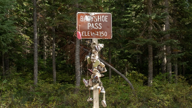
Updated: 04/01/2024
Babyshoe Pass
Trout Lake, Washington
NF-23 takes you further north into the Gifford Pinchot National Forest, along the northwestern side of the Mount Adams Wilderness Area, and east of Baby Shoe Ridge. The pass was built to connect Forest Route 23 together, providing the eastern side of the Gifford Pinchot National Forest a main north-south access road. In the middle of the trail is a short, paved bridge over Lewis River. The trail will mostly be an ascent, with an elevation gain of 734 feet. At Waypoint 4, you’ll see a sign for Baby Shoe Pass, informing you that you’ve reached 4,350 feet in elevation. The sign is, naturally, eerily adorned with baby shoes. Shortly afterward, you’ll reach the end of Baby Shoe. Baby Shoe Pass is located in the Midway High Lakes region of Mount Adams, which has five high elevation lakes nearby. Takhlakh lake, which is near the end of the trail, is the most popular of the Midway High Lakes.
This trail is part of the Washington Cascade Overland Route. Visit Overlanding Across Washington for more information, including which trails to take next.
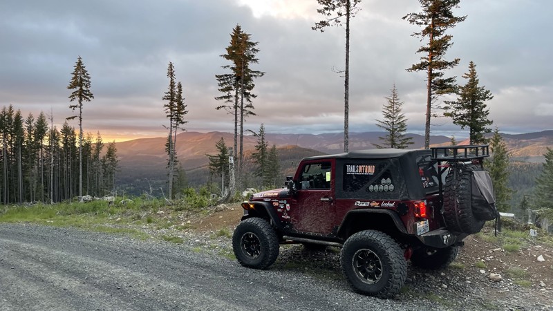
Updated: 10/15/2024
8-Road
Alder, Washington
Road-8 is a graded dirt road in the Elbe Hills forest and is an easy shortcut to the Elbe OHV area from Eatonville, WA. The road has excellent views of Mount Rainier. Driving south out of Eatonville on Alder-Cutoff Road E, find the Scott Turner Road on the left. In about 8 miles, Scott Turner becomes 8-Road. You can also access this road from the south on U.S. Highway 706. Find 278th Ave E and go about 2 miles, where the road becomes 8-Road.

Updated: 05/15/2024
Deer Pen
Camas, Washington
Deer Run Trail is a 0.39-mile trail that will connect with Old Ugly trail at its end and get you ready for the tougher action to come. The trail winds through some beautiful old-growth forest and is the perfect trail to start on if you are out in this area to explore. Beginning drivers and stock rigs will be comfortable and gain some valuable confidence on this trail and it does contain a memorial for a driver that met a deadly fate and makes you realize that even an easier trail can be dangerous with too much confidence.
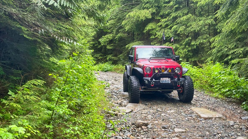
Updated: 04/22/2026
FS-5730
Baring, Washington
FS-5730, located in the Mt. Baker - Snoqualmie National Forest, exits the campgrounds at the end of North Fork Snoqualmie Road and travels 4.5 miles further into the forest. The trail crosses the North Fork Snoqualmie River and then travels up to an elevation of 2600 feet through old-growth timber. Several side roads go further up, probably resulting in camping opportunities. The road ends at a large campsite just a few yards off the river. This road gets no maintenance, so having a log-clearing ability might save your trip from disappointment.
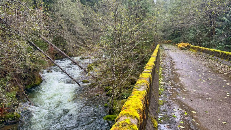
Updated: 07/09/2025
Nisqually Loop
Carlson, Washington
In the Gifford Pinchot National Forest, FS-7400, also known as Nisqually Loop, is a captivating forest service road spanning an impressive 31 miles with plenty of breathtaking views. The road meanders through lush greenery, with towering trees providing a majestic canopy overhead. The road unveils stunning vistas of rolling hills, picturesque valleys, and glimpses of distant mountain peaks at various points. On the back side, the road travels along the Little Nisqually River and provides incredible camping opportunities. The road does dead-end at a gate that is usually locked. Whether you're a nature enthusiast, an avid photographer, or simply seeking a peaceful escape, FS-7400 promises an unforgettable experience with its stunning beauty and serene atmosphere.
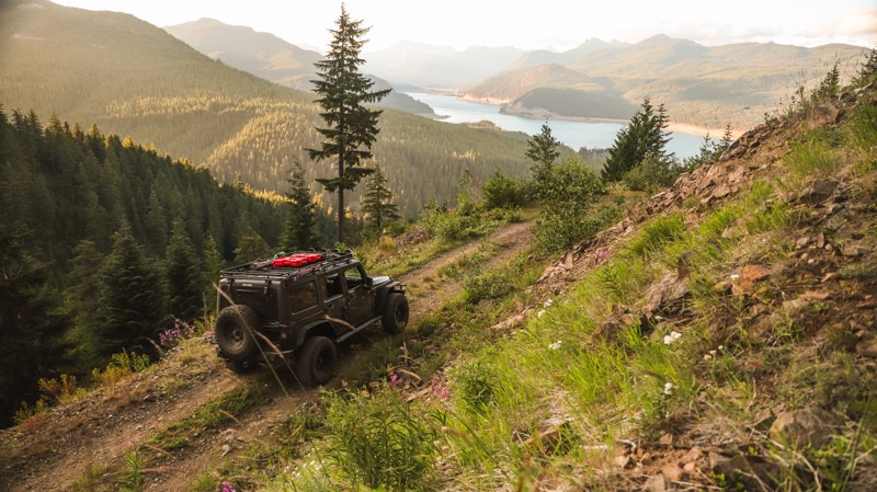
Updated: 07/01/2024
FR 5484
Easton, Washington
FR-5848 is part of a network of old forest roads located southwest of Lake Kacheelus, in the Okanogan-Wenatchee National Forest, and several miles past Snoqualmie Pass. This trail takes you on an unmaintained forest road up and along a ridgeline, with scenic views along the way with various branching side trails. Due to a lack of maintenance, this trail can get rather brushy in the summer with portions and require a bit of "bushwacking". However, the bushes are rather light and leafy so your paint should be safe, They simply add some spice to the drive. Towards the end of the route, the trees open up offering views of Lake Kacheelus and the I-90 valley. It's a perfect place to catch the sunset.
A popular snowmobile route in the winter/spring, this trail is only accessible in the summer and early fall.
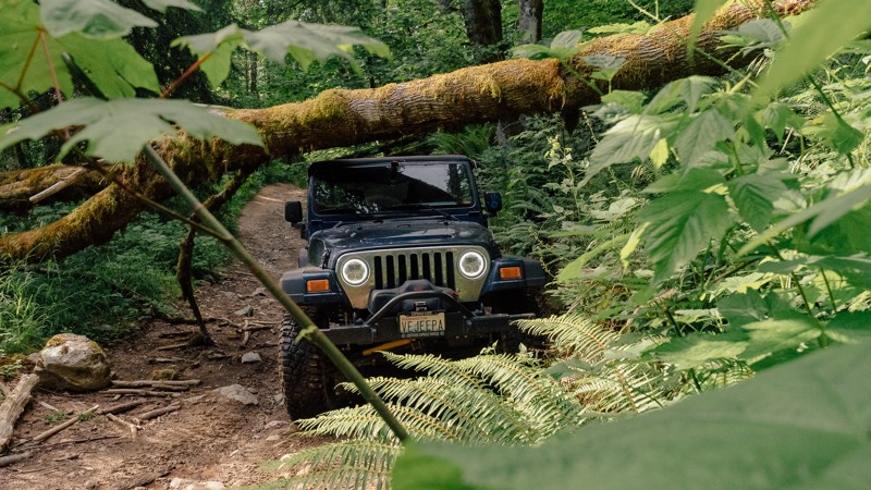
Updated: 03/12/2026
Upper Mainline
Mount Vernon, Washington
Upper Mainline is not just another trail in Walker Valley ORV; it’s an adventure. Of course, you can expect to get your fill of rocks, but there’s much more, including roots, mud, and challenging climbs. About halfway through, you’ll find a downed tree, which will leave you asking if you can continue through the trail. Upper Mainline has a little of everything, so whether you’re a novice wheeler or you’re looking for a challenge, this trail will make a great addition to your day in the park. Walker Valley ORV consists of 3,200 acres, with twelve 4X4 trails, and several more ATV and dirt bike trails. The trails offer many challenges like rocks, roots, and ruts. These obstacles will change from season to season, with the addition of snow and rain, which can also produce large puddles and muddy stretches. From the mild to wild, Walker Valley ORV provides something for everyone.
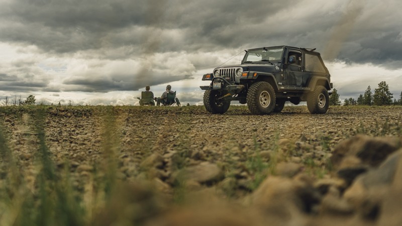
Updated: 08/13/2023
Rocky Flat Road
Nile, Washington
It’s definitely rocky, but it sure ain’t flat! 20 miles west of Ellensburg is Rocky Flat Road, a trail with oodles of possibilities. By itself, it’s a long, winding route climbing up Bald Mountain and features views of the Cascades to the west. But, there’s much more to be found along the drive. During the summer months, Rocky Flat is most often used as an easier, though not necessarily quicker route to a local wheeling spot, Moon Rocks and Funny Rocks. Additionally, those traveling across the Cascade Overland Route will find numerous campsites with plenty of room. Rocky Flat will be covered in snow during the winter months and will provide excellent snow wheeling. Rocky Flat Road will be part of a memorable trip, whether you’re wheeling, camping, or playing in the snow.
This trail is part of the Washington Cascade Overland Route. Visit Overlanding Across Washington for more information, including which trails to take next.
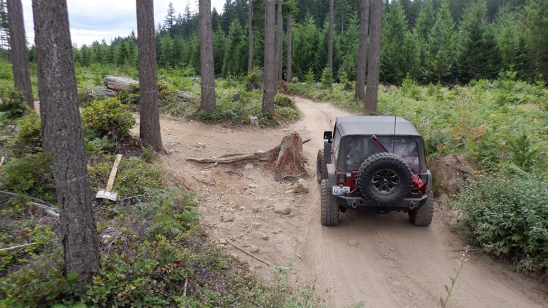
Updated: 10/11/2024
Tahuya / Riff-Raff
Belfair, Washington
Riff-Raff is in the Tahuya State Forest ORV park outside Belfair, WA. The Tahuya State Forest ORV area is a popular 4x4 destination. This park was designed for beginning wheelers up to seasoned trail veterans. Riff-Raff has tight turns around trees threatening to kiss your fenders. During the winter and early spring months, the challenges are large water obstacles. While water usually isn't considered an obstacle, throw in hidden underwater root systems, and you might have your hands full. The trail travels through a beautiful pine forest, one of the last untouched areas in the park not logged for timber. The natural beauty of this trail makes this one of the more beautiful areas of Tahuya.
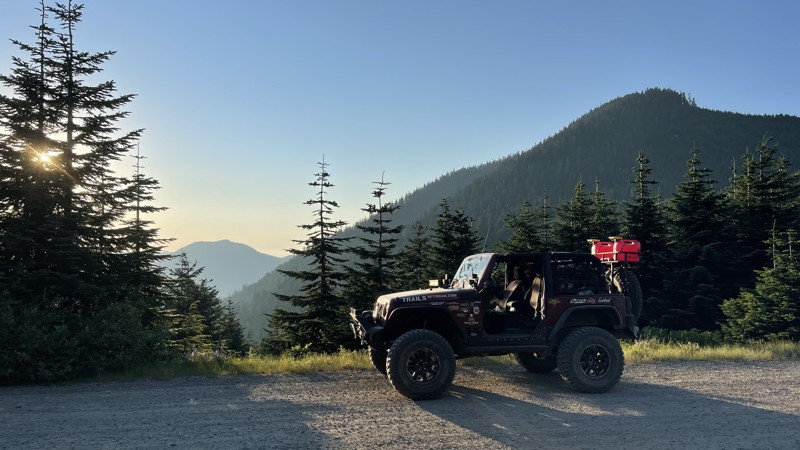
Updated: 09/24/2025
Pyramid Pass
Cougar Valley, Washington
If you are looking for a quick way over the mountains to the Naches area, this pass is for you. The pass (FS-7080) starts off of FS-70 about mile mark 13. The road can be a bit rutted, but most vehicles will not have an issue. There is also access to the 3rd starting point for the Naches Trail. There are many camping opportunities along this road. Almost every side road leads to something amazing.
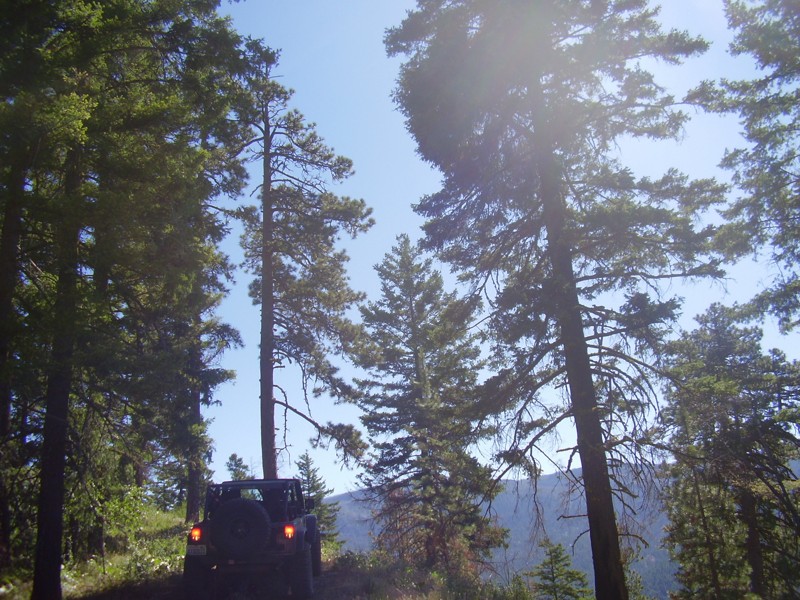
Updated: 07/15/2024
Billy Goat
Cle Elum, Washington
The view from the top of this off-road trail is simply magnificent and completion of the trail is a sigh of relief. If it is not dry, do not take this trail lightly; the mud in the Liberty area is extremely slick and has claimed many body panels on the multitude of trails here. The Billy Goat Trail is aptly named, when your vehicle completes this trail you might want to change your vehicles nickname. The climbs and descents on this trail are extreme, caution should be taken at all times on every part of this trail. But once you get through it, you will have conquered one of the best trails Washington has to offer.
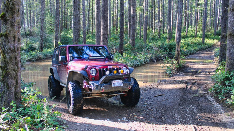
Updated: 08/27/2023
Tahuya / 84-S
Belfair, Washington
84-S is located in the Tahuya State Forest ORV park. The park has approximately 20 miles of trails with all difficulty levels, from easy routes for the beginner to huge rock climbing obstacles designed for highly modified buggies. The park is located about five miles from the town of Belfair, Washington. 84-S is one of the more technical trails with tight turns and root systems to navigate.
While this is a working timber forest with clear-cut sections that aren't very pretty, many other areas of this forest are truly magical. There is even a small stream that beavers are managing.
Tahuya State Forest ORV is an excellent destination for a full day of exciting wheeling for all experience levels.
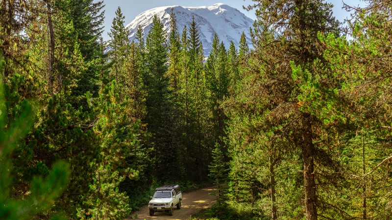
Updated: 04/01/2024
NF-2329
Trout Lake, Washington
NF-2329 begins near the Takhlakh Lake Campground, and skirts along the northwest side of the Mount Adams Wilderness area. There are several hiking trailheads that lead into the wilderness area, including Divide Camp, Killen Creek, and the Muddy Meadows Trailhead at Waypoint 13. From the very beginning, Muddy Meadows has amazing views of Mount Adams, and continues on into the wilderness, crossing with the Pacific Crest Trail. These meadows were used by Native Americans during summers as berry camps and were still used in the 1800s.
Besides hiking, NF-2329 has many campsites available; though some are exclusively horse camps. At Waypoint 9, you can turn to Horseshoe Lake, which has a designated campground, and a beautiful view of Mount Adams to the south. This is a longer trail that offers lots to see, and many places to spend a night or two relaxing.
This trail is part of the Washington Cascade Overland Route. Visit Overlanding Across Washington for more information, including which trails to take next.
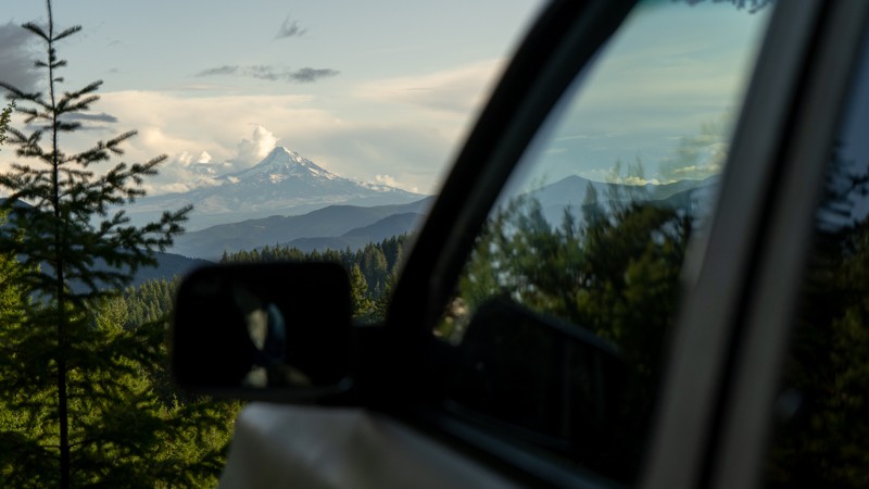
Updated: 09/02/2023
NF-86 (Southern End)
Cook, Washington
NF-86 is a gravel road in the Gifford Pinchot National Forest. It’s a winding road that is mostly up-hill and is filled with puddles after a rainfall. The distance covered before reaching NF-6610 is 8.52 miles, though NF-86 does continue on for an additional 8 miles, ultimately reaching State Route 141 near the Guler Ice Caves.
The road can be narrow at times, which may cause pinstriping. Another obstacle to be aware of is the slight washout at Waypoint 4; it’s not a large concern, but something to anticipate. Dispersed camping is available on the trail, with Waypoint 6 offering a beautiful view of Mount Hood. Waypoint 7 offers dispersed camping for a larger group.
This trail is part of the Washington Cascade Overland Route. Visit Overlanding Across Washington for more information, including which trails to take next.
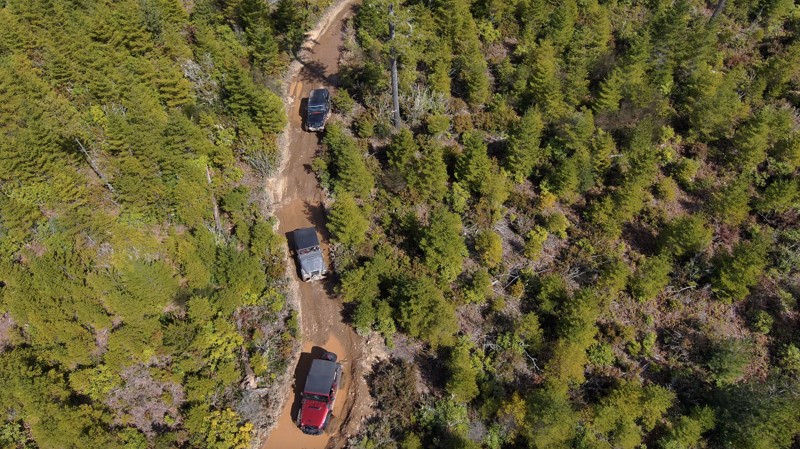
Updated: 06/05/2022
Tahuya - Sasquatch Run
Belfair, Washington
Sasquatch Run is located in the West Loop section of the Tahuya State Forest and is reserved for more built vehicles with at least a small lift and larger tires. This trail will have you on your toes as you figure out how to keep from banging your undercarriage. Tire placement is key, and spotters are often kept busy on shorter vehicles.
Tahuya State Forest ORV area is a great 4x4 destination for beginners up to seasoned veterans. While this forest trail system does have some challenging man-made rock gardens, for the most part, the only hindrance to stock vehicles would be the depth of some of the standing water in the fall, spring, and winter months and, of course, the "Rock Gardens" that were put in for more modified rigs. Tahuya has been nick-named "2-wheel Tahuya" as most of the trails are fairly easy. But some trails are definitely not for beginners. This makes it the perfect place for beginners to gain some skills before attempting more difficult trails. There is not really a good map produced that shows all of the trails in this park as some are 4x4, some are for motorcycles/ATV's, and some are just for walking/mountain biking.
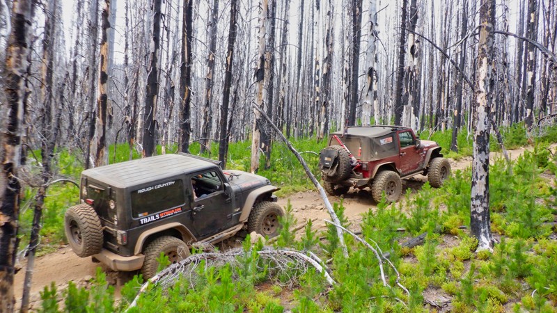
Updated: 06/15/2024
Shoestring
Cliffdell, Washington
Shoestring Trail is located in the Okanogan - Wenatchee National Forest and is one of the more technical trails found in the Manastash ORV trail system. Ready for a more technical challenge? Then Shoestring is a great choice.
Much of Shoestring Trail traverses a burnt forest. So while wrestling with the technical hill climbs, take some time to observe how the forest is working to recover its previous pristine beauty. You just can't imagine the destructive force and heat that a forest fire is capable of unless you drive through a burned area like this one. Try and imagine just how hot this must have been. What was a sad incident at the time becomes something of a rare beauty when you see nature on a path of recovery. This forest fire, while tragic at the time, is a natural process. And this forest, while severely burnt, is well on it's way to replacing what was lost and takes on its own special wonder in the process.
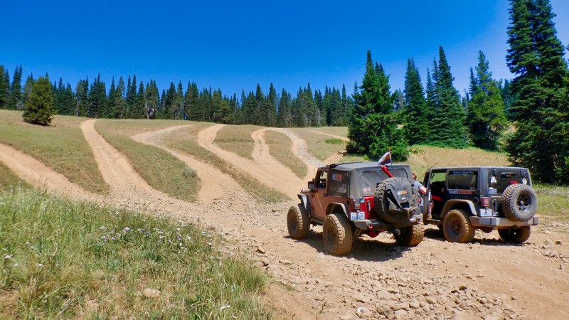
Updated: 07/17/2024
Milk Lake
Cliffdell, Washington
Milk Lake Trail is named for the small lake just southwest of the trailhead. But this trail is no milk run. Located in the Okanogan - Wenatchee National Forest, Milk Lake Trail provides access to the Manastash Trail system including Funny Rocks and Moon Rocks which is a favorite area for rock crawling. This trail offers many different kinds of wheeling ranging from a tight twisting trail dodging roots and stumps to a drive up a creek bed with 12-20 inch boulders. The variation trail surfaces make it perfect for a beginner driver to gain confidence and experience in themselves while exploring their vehicle's capabilities.
While dealing with the changing technical conditions of the trail, don't forget to enjoy the scenery. Milk Lake Trail passes through a deep mature forest with beautiful stream crossings and ends with a long hill climb up to the top of the Manastash Ridge. Once there you will be rewarded with some fantastic views of Mt. Rainier and Mt. Adams to the south.
This trail has it all. Milk Lake Trail is a great warm-up and preparation for the more difficult trails that await you on the Manastash Ridge.
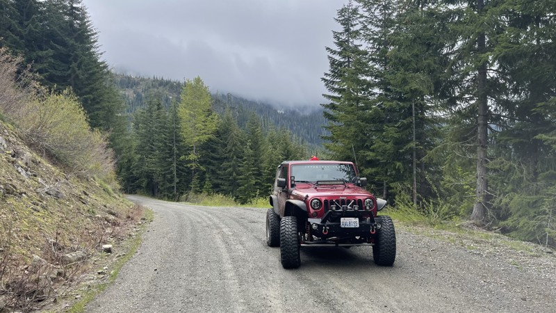
Updated: 11/30/2025
FS 84
Longmire, Washington
FS 84 starts in Ashford, WA, and climbs south through very lush and old-growth forests. There are magnificent views of Mount Rainer. The trail tops out at about 3700 feet, and in the early spring and fall months could become impassible due to the snowpack. Many side roads to other lookouts could provide really nice camping spots. This road is open year-round and is a popular snow route for those that enjoy exploring the deep snow in their 4x4 rigs.
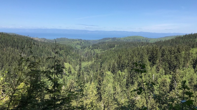
Updated: 09/29/2025
Sadie Creek - Forest Service Road 3040 - 3068
Shadow, Washington
Forest Service Road 3040, also known as "Kloche Nanitch Lookout," starts at the Sadie Creek camping area. It is a 10.09-mile hard-packed gravel road suitable for all vehicles. At about the 8-mile mark, the road becomes FS-3068 and continues another 2 miles ending at a trailhead for the Pyramid Peak hiking trail. This hiking trail is about a 4-mile hike to an overlook of Lake Cresent.
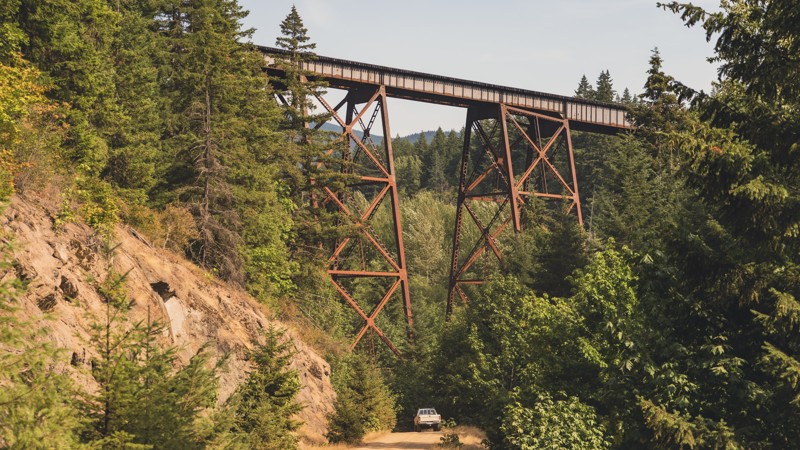
Updated: 08/27/2024
Tacoma Pass
Snoqualmie, Washington
Experience the Tacoma Pass along the Stampede Pass Overland Route: This is one of several trails in this area of the Mt. Baker-Snoqualmie National Forest and was originally created to build and maintain railways. Drive under the old railways that traveled in both directions across the Cascade Mountains in Washington State. Excellent hiking access to the Pacific Crest Trail can also be found along Tacoma Pass.
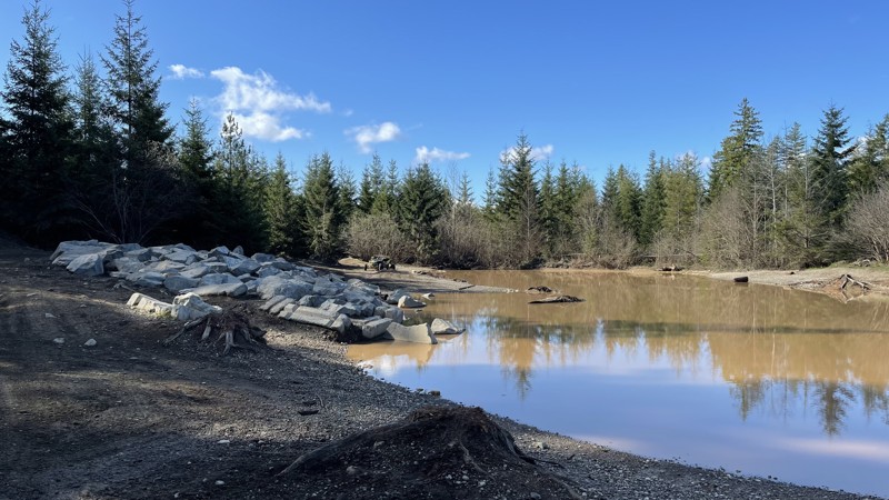
Updated: 08/27/2023
Tahuya JBX
Belfair, Washington
Tahuya State Forest ORV area is a great 4x4 destination for beginners up to seasoned veterans. While this forest trail system does have challenging man-made rock gardens, for the most part, the only hindrance to stock vehicles would be the depth of the standing water in the fall, spring, and winter months and, of course, the Rock Gardens that were put in for more modified rigs. Tahuya has been nick-named "2-wheel Tahuya" as most of the trails are fairly easy. This makes it the perfect place for beginners to gain skills before attempting more difficult trails. There is not really a good map of the trails in this park, as some are 4x4, some are for motorcycles/ATVs, and others are just for walking/mountain biking.
JBX is just one of the many routes to explore in this Tahuya ORV area. JBX is a connector trail that can be run in either direction. The trail has large mud pits in the spring and fall months and the Twin Ponds Play Area, where parking on the rocks and taking pictures is a must. There are also stunning views of the surrounding Olympic Mountains.
As a reminder, always tread lightly, stay on the trails, and follow the purple 4x4 triangles for other trails in the park.
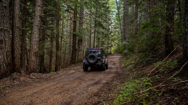
Updated: 06/05/2022
West Kachess Wetlands
Easton, Washington
This route is predominantly used as a snowmobile trail in the winter, but once the snow melts it makes for a fun detour off the main forest road, FR-4828. The terrain is mainly soft dirt with some rocky areas, which a hard rain can turn rather muddy. The trail navigates through lush forest along the edge of a large wetland adjacent to Lake Kachess. In many places, a short walk off the trail affords visitors with beautiful views of the wetlands and the various critters that call it home such as beavers and herons. However, those who are worried about their paint jobs may want to be cautious about taking this trail, as some pinstriping might occur due to its narrow and poorly maintained nature. This trail is best to run June-October to avoid patches of lingering wet snow.
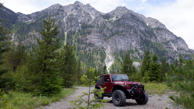
Updated: 11/20/2023
Mine to Market Trail
Roslyn, Washington
The Mine to Market Trail, 4W305, follows an old turn-of-the-century mining road used to get into the upper reaches of the surrounding mountains. Nine switchbacks climb steeply up the mountain. This trail has a caretaker who owns a cabin at the beginning of this trail. His family made a mining claim before the turn of the century, and by continually reapplying for the claim, he can keep his family cabin. He is responsible for keeping this trail open and has made continuous improvements. The cabin is at Waypoint 3. If you are traveling on a weekend, beep your horn as you pass by and look for a wave. During an interview, he stated that he always looks out for those traveling up his trail. If he doesn't see them come back down in an hour, he is on the move to see if they are in trouble.
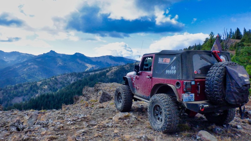
Updated: 06/15/2024
Mud Springs
Naches, Washington
This trail is special and unique because it follows a high mountain ridgeline on the boundary of an untouched wilderness area with views from atop a 1500 ft. cliff face. You can expect soft delicate meadows, the trail winding narrowly through mature forests, tricky root systems, and rocky loose ledges. There is an element of danger involving the cliff that most of the trail follows but that just adds to the excitement when you think about what a mistake might involve. There are two other trails that connect so a full day of exploration can be expected if desired. (4W679 Clover Springs & 4W665 Sweet Home)
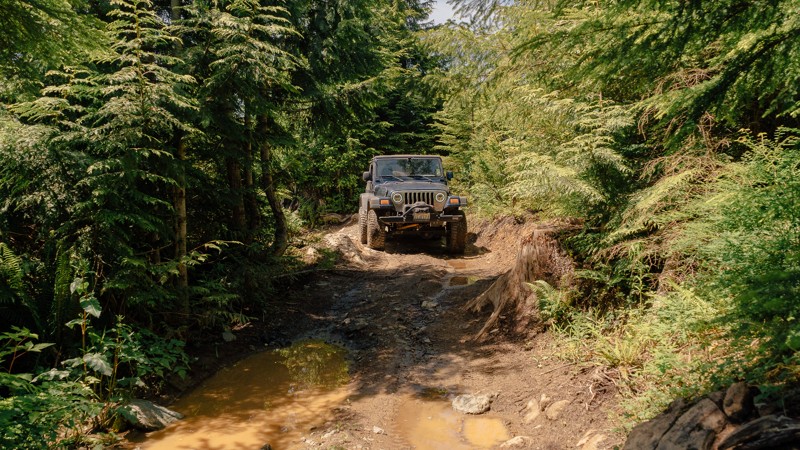
Updated: 03/12/2026
First Timer
Mount Vernon, Washington
Rock crawling can be intimidating, especially for beginners. Thankfully, First Timer is here to ease your concerns. This route bypasses the hardest obstacle of
as well as the challenges of the nearby Skills Area of the park. The trail also connects both the top and bottom of
, making a small loop that can be run several times over. There’s no shame in taking the easier line; all wheelers start somewhere. It’s better to leave the park wanting to come back for more than to limp away from a stressful day. Walker Valley ORV is comprised of 3,200 acres, with twelve 4X4 trails, and several more ATV and dirt bike trails. The trails offer many challenges like rocks, roots, and ruts. These obstacles will change from season to season, with the addition of snow and rain, which can also produce large puddles and muddy stretches. From the mild to wild, Walker Valley ORV provides something for everyone.
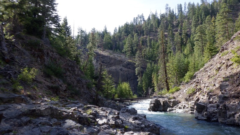
Updated: 05/15/2024
Rattlesnake
Nile, Washington
Rattlesnake is a wonderful trail located in the Okanogan-Wenatchee National Forest. This and its sister trail, Little Rattlesnake, are well hidden and don't see a lot of traffic. This trail climbs up alongside "Rattlesnake Creek" sporting high volcanic bluffs towering above the river through old-growth forest, and then after beautiful views, travels down into the creek drainage, crossing several jeep bridges and puts you right alongside the creek and rushing white water. The trail wanders back and forth close to the creek, driving past several beautiful dispersed camping spots. The trail ends where the walking trail continues at a campsite sporting a large fire pit next to the river, allowing easy swimming access.
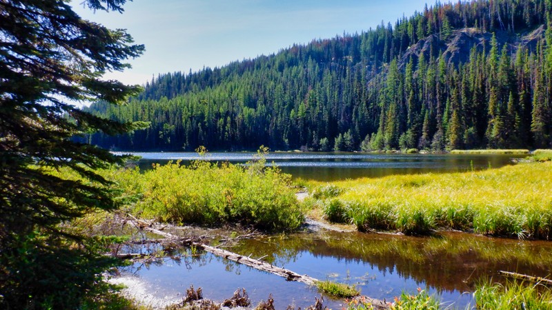
Updated: 06/15/2024
Lost Lake
Cliffdell, Washington
Lost Lake is located in the Okanogan - Wenatchee National Forest in the Manastash Ridge Recreation area. This trail is a nice but difficult drive to a beautiful alpine lake. The trail going in is quite technical and quite bumpy as it skirts a lava formation, and rocks and more rocks are on the menu. While the trail is difficult the reward is a beautiful lake to enjoy a lunch or maybe some overnight camping. There is a nice stream crossing and some short off-camber hill climbs to keep it interesting. This is the only lake in the area that is accessible by 4x4 so it is a must-see if you are wheeling in the area.
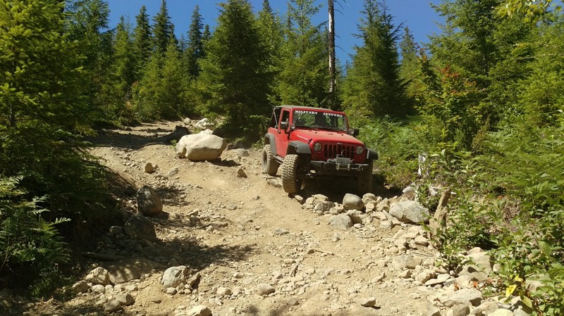
Updated: 05/19/2024
Elbe Hills OHV - Rainier Vista Trail
Elbe, Washington
The Rainier Vista trail crests at the highest elevation within Elbe Hills, but to get there its a rocky uphill climb with massive boulders and loose rocks all throughout the trail. The DNR recommends 36" off road tires, dual lockers, body armor and a winch. Regardless of these recommendations, it should not scare you off this trail; a moderately modified rig with lockers can navigate this trail, but keep in mind, there are no bypasses for any obstacles except the lower rock garden. An off-shoot of the main trail, the upper rock gardens are designed for buggies and extremely well built trucks, this trail also leads to the infamous "Pit" a large playground for any skill level. The Rainier Vista trail is for anyone looking to test their mettle (pun intended) and take in one of the most majestic views of Mount Rainier you have ever seen.
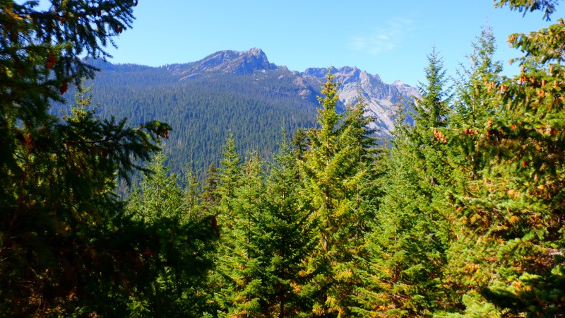
Updated: 10/15/2024
NF-4600
Driftwood Acres, Washington
NF-4600 starts at the north end of Cle Elum Lake and goes northwest 9.3 miles to end at the Mineral Creek Trailhead. There is no dispersed camping on this road, but there is a campground at nearby Cooper Lake. There are only a few lookouts, but those are pretty epic.
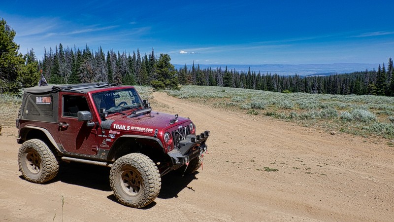
Updated: 06/15/2024
Summit
Cliffdell, Washington
The Summit trail is located in the Okanogan - Wenatchee National Forest in the Manastash Ridge area. There are dozens of trails in this area for 4x4, UTV, and motorcycles. This 4.95-mile trail runs east to west along the Manastash Ridge and stays pretty much on the ridge so there are lots of beautiful views of the surrounding mountains on both sides of the ridge.
Two really nice views stand out. There is a breath-taking view of the Manastash Lake looking down from 5500 feet. On a clear day, you can see all the way into Canada more than 160 miles away. Another exceptional point along this trail is Funny Rocks. This is a lava-rock formation that is very popular with the 4x4 community for it's challenging rock climbs on the grippy lava surface. The Summit trail is very popular and connects with many more of the trails on the Manastash Ridge. The Summit is a must-do if you visit this area.
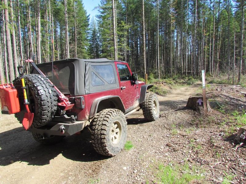
Updated: 06/05/2022
Tahuya River Trail
Belfair, Washington
Tahuya State Forest ORV area is a great 4x4 destination for beginners up to seasoned veterans. While this forest trail system does have some challenging man-made rock gardens, for the most part, the only hindrance to stock vehicles would be the depth of some of the standing water in the fall, spring, and winter months and of course, the rock gardens that were put in for more modified rigs. Tahuya has been nick-named "2-wheel Tahuya" as most of the trails are fairly easy. But there are some trails that are definitely not for beginners. This makes it the perfect place for beginners to gain some skills before attempting more difficult trails. There is not really a good map produced that shows all of the trails in this park as some are 4x4, some are for motorcycles/ATV's, and some are just for walking/mountain biking. This trail writeup is for Tahuya River Trail which is a connector trail to get from Service road G3000 to connect to Trail 55.
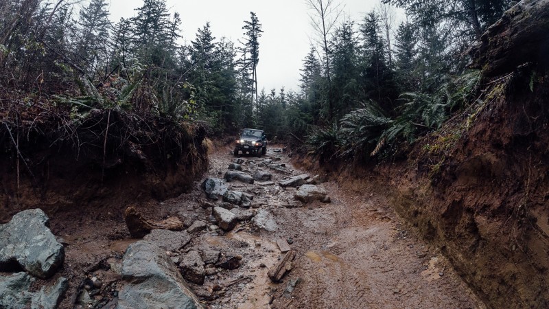
Updated: 03/12/2026
Timber Tamer
Mount Vernon, Washington
Located approximately 10 miles south-east of Mount Vernon, Washington, Timber Tamer is the first of twelve 4X4 trails located in the Walker Valley ORV Park. Despite its short length, it possesses many challenges, including a pair of rock gardens in the upper portion, a large rock obstacle in the middle, and muddy ruts below. Choosing the right line will be critical in preventing you from slamming on your differential, and rain will add another layer of challenge, making it much harder to keep from sliding. Heavily modified vehicles will have a great time testing their skills on the rocks, while more lightly modified vehicles will want to go in a group or stick to the lower section. This trail will change from season to season, with the addition of snow and rain. From the mild to wild, Walker Valley ORV provides something for everyone.
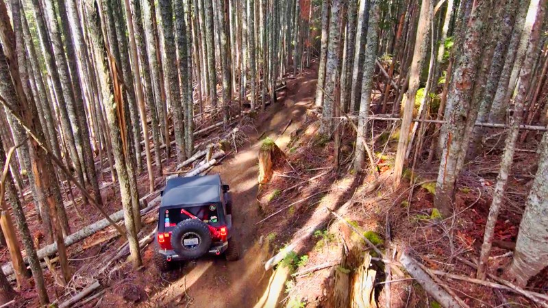
Updated: 04/01/2024
Evans Creek / Trail #198
Wilkeson, Washington
Nestled within the lush greenery of the Mt. Baker/Snoqualmie National Forest, Trail #198 awaits adventure seekers in the Evans Creek ORV area. The trail is part of a network of twelve trails designated for 4x4 use, offering over 45 miles of thrilling rides amidst the rugged terrain. As you embark on your journey, the trail passes through old-growth forests filled with switchbacks, narrow turns, and a few steep inclines that test the limits of your driving skills. The old-growth timber growing magnificently in all directions stands tall and straight, creating a truly majestic atmosphere. Trail #198 is an ideal trail for beginners to start their 4x4 journey, as it provides ample opportunities to build their confidence in their driving and vehicle capabilities.
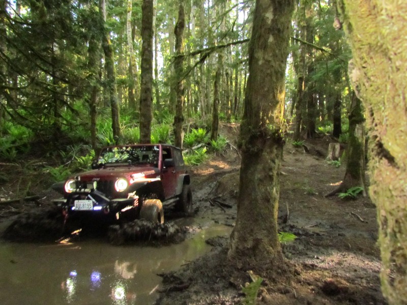
Updated: 06/05/2022
Sadie Creek - Radiator Hill
Port Angeles, Washington
Radiator Hill is situated on DNR land in a 4x4 park called Sadie Creek Multi-Use Trail System. There are four trails that weave through forests of varying ages and some clear-cut areas. Radiator Hill has some seriously difficult hill climbs and three very significant mud obstacles that will be present during the rainy season. What compounds these two factors is the fact that the trail twists and turns tightly through old growth forest. There are trees at every turn that are begging to give you a kiss and mark your fender flares or maybe a big hug as you slam into them off-camber.
While this park may not be very large and only has four short trails, the trails very tight and the presence of mud will make this a pretty difficult task for most vehicles no matter what the build.
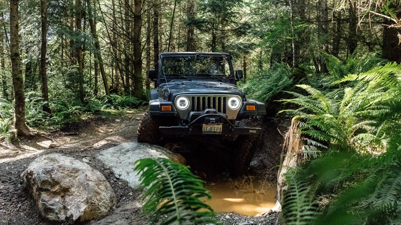
Updated: 03/12/2026
Ridge Ram
Mount Vernon, Washington
Ridge Ram is one of several trails in the Walker ORV Park, and is considered one of the more challenging. The main highlight of the trail is uphill rock garden found at the end of the first portion. On busier days, small crowds will gather along
to watch the brave and bold attempt to tackle this uphill challenge. But if rocks aren’t your thing, there’s still plenty of trail left, with deep muddy ruts to dirty up your rig. Whether you choose to observe others or you attempt the rocks yourself, Ridge Ram is a must when you visit the park. Walker Valley ORV is comprised of 3,200 acres, with twelve 4X4 trails, and several more ATV and dirt bike trails. The trails offer many challenges like rocks, roots, and ruts. These obstacles will change from season to season, with the addition of snow and rain, which can also produce large puddles and muddy stretches. From the mild to wild, Walker Valley ORV provides something for everyone.
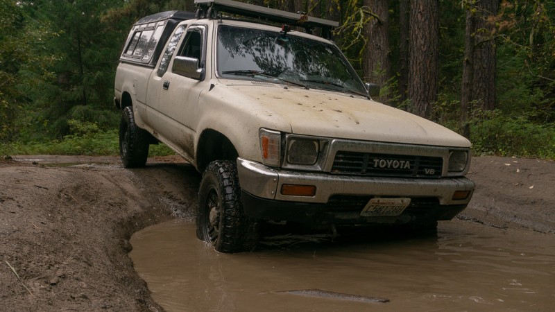
Updated: 05/29/2023
Swakane Road Connector
Cashmere, Washington
Swakane Road is a trail with long ruts and deep puddles. After traveling 5 miles north of Cashmere, you'll find yourself back in the trees of the eastern side of the Okanogan-Wenatchee National Forest. Early on the trail has many dips, followed by a long rut running down the center of the road. Rainy weather will make it more difficult, but also more enjoyable, as you drop down into deep puddles and slide around on some mud. Though it’s a brief trail, it’ll be fun for anyone looking to play in the puddles, or looking to venture further north into the forest.
This trail is part of the Washington Cascade Overland Route. Visit Overlanding Across Washington for more information, including which trails to take next.
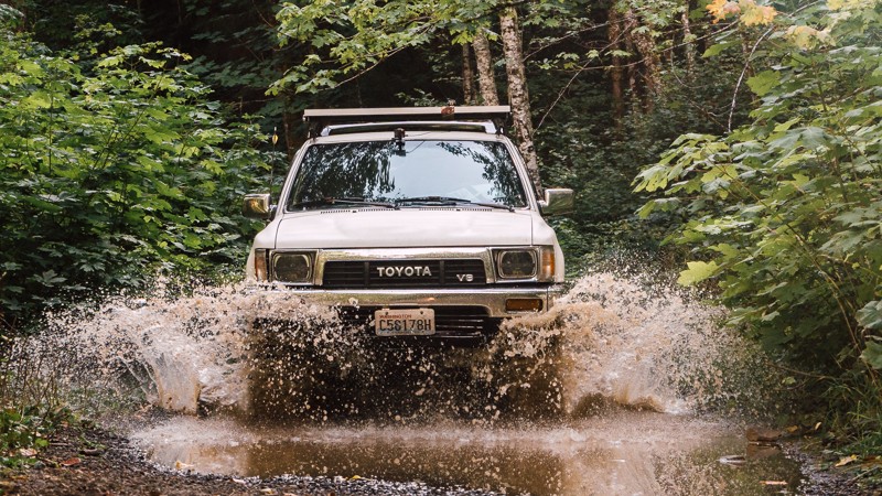
Updated: 08/26/2023
NF-1831
Cook, Washington
NF-1831 is one of many trails located in the Gifford Pinchot National Forest. Traveling further into the forest, the trees become denser. At times the road can be narrow, and thus pinstriping may occur on wider vehicles. It’s a nice stroll through the woods, especially after a rainfall if you’re looking to do some puddle running, and is doable for most any driver and vehicle, depending on weather conditions. This trail is part of the Washington Cascade Overland Route. Visit Overlanding Across Washington for more information, including which trails to take next.
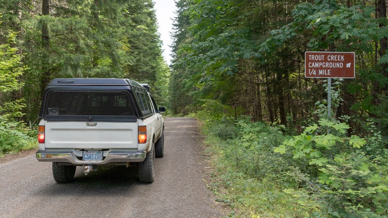
Updated: 08/27/2024
Sleeping Beauty
Trout Lake, Washington
Once you leave Trout Lake, NF-8810 takes you back into the forest. Waypoint 2 directs you to designated camping early on, so you can start this trail early in the morning after a night's rest. Otherwise, continue with your journey. With over 15 miles in length, Sleeping Beauty brings you up along the western side of the Mount Adams Wilderness, ultimately ending at NF-23, a paved road. There are two significant hikes near this trail. The first is Sleeping Beauty Peak. Sleeping Beauty is a challenging hike that, while only 1.3 miles in, gains nearly 1,400 feet in elevation. Atop the peak, you are rewarded with views of Mount Adams and Indian Heaven Wilderness. You'll also cross the Pacific Crest trail twice. The Pacific Crest Trail is a 2,653-mile hiking and equestrian trail that spans between the Mexican and Canadian borders. Being greater in length, this trail is a nice change of pace, allowing you to cruise along, heading further north towards Mount Adams. Views of the mountain may be possible through the trees, but if you miss out, there are plenty of views from trails further on. This trail is part of the Washington Cascade Overland Route. Visit Overlanding Across Washington for more information, including which trails to take next.
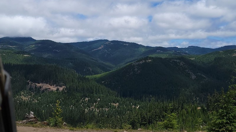
Updated: 12/01/2023
Mill Gulch Trail
Liberty, Washington
This trail is in the Okanogan-Wenatchee National Forest. While any forest road will give you amazing views of the valley below or the abundance of wildlife in the area, the real treat comes when you get off-road on any of the designated trails. Here you will climb to higher places and see even more breathtaking views, all while enjoying the challenge of going off the beaten path. In the early morning, you can hear songbirds sing or see the chipmunks playing in the ground as they run through down trees and foliage. During the day, you might see a blacktail deer or buck standing tall in the field watching you as you pass by. The possibilities are endless.
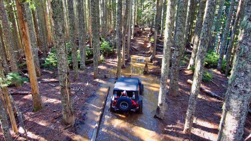
Updated: 11/06/2024
Evans Creek / Trail #197
Wilkeson, Washington
In the Mt. Baker / Snoqualmie National Forest and part of the Evans Creek ORV Area, Trail #197 is one of a dozen trails designated for 4x4 use for over 45 miles of trail riding. What you won't find on this trail is any time to relax. With its tall drop-offs, 6-foot root walls, and severe off-camber sections, you'll be lucky to get away with your fenders. This trail is rated the hardest in the Evans Creek ORV, and if you need a challenge and something to brag about, you might try this trail in reverse and turn those drop-offs into challenging climbs.
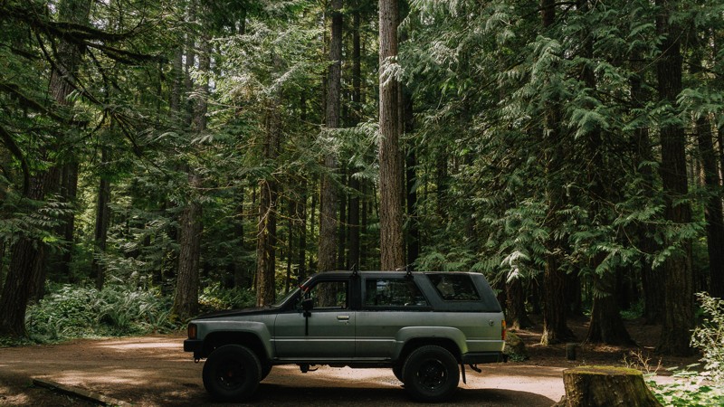
Updated: 06/05/2022
NF-2880
Blyn, Washington
NF-2880 is a connecting road off of Hwy 101, via Palo Alto Road, and is the main of two roads in and out of the northeast portion of the Olympic National Forest. From NF-2880, you pass the Dungeness Forks Campground, before it continues on to NF-2870; a 20-mile long trail into the Olympic National Forest containing several hiking trails. This region also gives you access to the Buckhorn Wilderness area.
The Olympic National Forest and Buckhorn Wilderness area has an abundance of forest roads, hiking trailheads, and campsites. It encompasses 258 acres of land and is the largest Wilderness area of the Olympic National Forest. The terrain can be quite steep, ranging from 1,000 feet near the Gray Wolf River to the summit of Mt. Fricaba, at an elevation of 7,134 feet. Subalpine fir and western white pine are present at higher elevations, and Douglas-fir, western hemlock, and red cedar grow on the lower slopes. The Gray Wolf, Dungeness, and Big Quilcene Rivers flow through the Wilderness, along with several smaller streams.
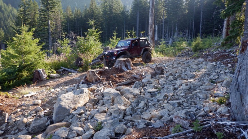
Updated: 06/05/2024
Snaggle Tooth
Camas, Washington
Snaggle Tooth is the third in a series of trails that are usually run consecutively. Running Skyline Trail, Screech Owl, and Snaggle Tooth will surely make for an exciting day. This trail is fairly short but very challenging with its twisting hill climbs, very tight turns, and a couple of fun optional rock gardens to play on. Running these trails together makes for a fun-packed adventure that will really test your rig and your skills behind the wheel.
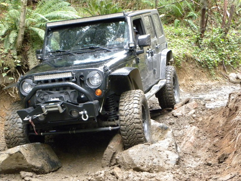
Updated: 01/17/2023
Elbe Hills OHV - Sunrise Trail
Elbe, Washington
Sunrise trail should always be on your "first to do" list when in the Elbe Hills trail system; it starts out with a couple of technical turns bringing you into a long rocky hill climb. A well built rig can negotiate most of this trail in 4HI, versus a stock rig would want to use low range. It is a great run to get you and your rig warmed up for a day on Elbe's trails. It can be very tight as with all of Elbe's trails, but I have witnessed a military spec Hummer on this trail before. Rocks are very sharp throughout the area and this trail is no exception, airing down to at least 15 psi is highly recommended, this will ensure your sidewalls are a little more forgiving. There are a couple narrow bridges to be wary of, local clubs keep them in decent shape, but simple slips off the edge have proven to end in rollovers.
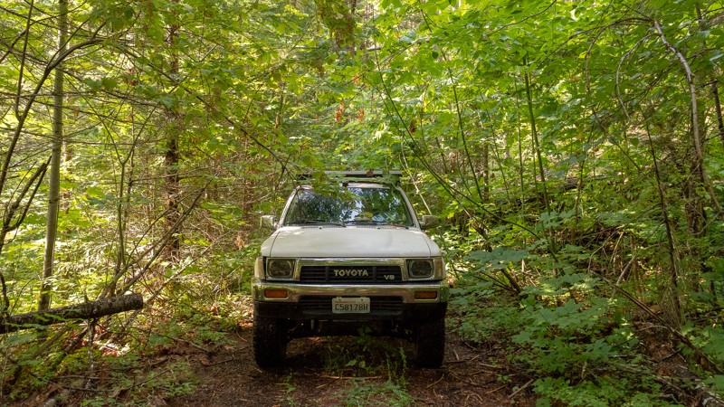
Updated: 08/26/2023
Shingle Mountain
Cook, Washington
NF-6600-020 is a short trail off of the main path of the Cascade Overland Route, offering dispersed camping. It’s narrow and overgrown flora means it’s a trail less traveled, making the camping even more secluded. This does, however, pose some risks for vehicles and passengers as well. With lots of low hanging tree limbs, caution should be taken so as to not hit the windshield with too much force. Pinstriping may occur as well, and the dense overgrowth will make it difficult to turn around on the trail. For that reason, understand that if you go past Waypoint 2, the camping area, you may need to back out rather than turn around. Shingle Mountain makes for a nice secluded campsite, just far enough from the more frequented route that you shouldn't have any unwanted company.
This trail is part of the Washington Cascade Overland Route. Visit www.trailsoffroad.com/blog/overlanding-across-washington for more information, including which trails to take next.
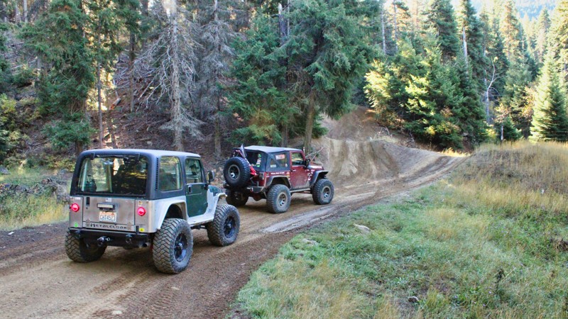
Updated: 05/15/2024
Pit Overlook 4W-321
Cle Elum, Washington
Pit Overlook (4W321), nestled within the Okanogan-Wenatchee National Forest, is a captivating 4.5-mile-long trail that forms a part of the Liberty Off-Highway Vehicle (OHV) park. This scenic route offers a delightful journey through the forest, with gentle variations in elevation keeping the ride exciting yet manageable. As you traverse along Pit Overlook, you'll be treated to breathtaking views that extend to the south, revealing the natural beauty of the surrounding landscape. However, one notable feature that adds an element of thrill to the experience is the off-camber shelf road, which can be intimidating. With its sideways tilt, this winding road might make your heart skip a beat, but it also adds a sense of adventure to the journey. Despite the exhilarating moments, Pit Overlook remains an enchanting trail that showcases the beauty of the Okanogan-Wenatchee National Forest and provides OHV enthusiasts with a memorable offroading experience.
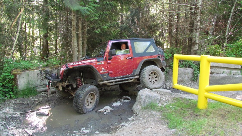
Updated: 09/29/2025
Sadie Creek
Shadow, Washington
Sadie Creek has a gatekeeper that must be negotiated to get into this park. The gatekeeper is at the entrance beside the yellow gate. The gatekeeper simulates the difficulty of obstacles within the park. If you can't pass the gatekeeper, you don't belong in the park. Beyond the gatekeeper, this service road is gravel and very well-groomed. The service road runs from the entrance all the way to the back of the park, with nice views of the Strait of Juan De Fuca. Sadie Creek is 2.72 miles and climbs 200 feet in elevation. The road provides access to all five of the park's trails.
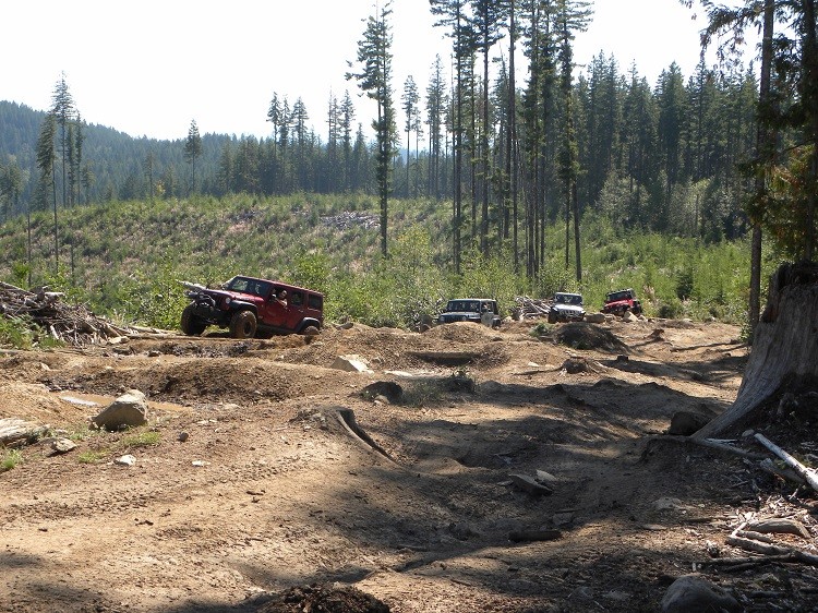
Updated: 09/15/2022
Elbe Hills OHV - Gotcha Trail
Elbe, Washington
Gotcha off-road trail is one of the highlights in Elbe Hills OHV Area. With it's four different obstacles, this 4wd trail is a good choice for every type of experience level and build. There is a forested swamp with tight trees, difficult climbs and sharp drops as soon as you are on the trail...Gotcha! There is a large rock crawling playground and grand vista on what is affectionately known as "The Log Jam", a pile of logs that were "conveniently" left behind by a logging company; the perfect place to grab some lunch, take some pictures and watch the buggies "chop wood". The final set of obstacles are two-fold, the first part is a hole that is so off camber, you will be guaranteed to get body damage. Just when you think you are done, at the point where if you walk around the corner you can see the exit, there is a deep nasty hole that gives you no choice but to barrel on through...Gotcha!
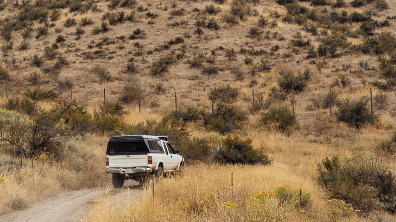
Updated: 09/09/2023
Ridge Road
Naches, Washington
Immediately off of North Wenas Road is the start of Game Department Road, just outside of the town of Wenas, Washington. The trail starts with a few bumps early on, but nothing severe. There is a gate about two-thirds of a mile in. It’s just like the gates on Newlands Road; just close them once you’re through. The gates tend to swing, so, it may take an additional hand in closing them. In the later part of the trails, there may be a few ruts to watch out for, so don't go too fast. The trees will begin to disappear as well, though the occasional lone tree and wooded patch exist.
After about 1,300 feet of elevation gain, the trail more or less levels out and continues straight along Ridge Road. Though the elevation changes on the ridge are minimal, the gentle climbs reveal the road ahead at the crest and hide the trail once more after dipping back down. A few trees reappear at the end of the trail. The land here is dry, and mostly barren, with few trees, but plenty of brush. It seems almost desert, and while it is actually common for Washington east of the Cascades, it is a far cry from the typically assumed dense forests of the state. The trail ends and continues on as Umtanum Ridge Road.
This trail is part of the Washington Cascade Overland Route. Visit Overlanding Across Washington for more information, including which trails to take next.
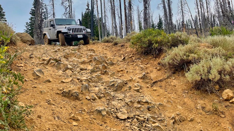
Updated: 07/17/2024
Nealy Creek
Liberty, Washington
This trail is beautiful in the spring and summer when the flowers are in bloom. There are many meadows and views east into the valley as this trail falls 1000 feet in elevation. You can expect some pucker-factor as the trail drops down in elevation along some medium off-camber sections and a pretty significant waterfall that cannot be bypassed.
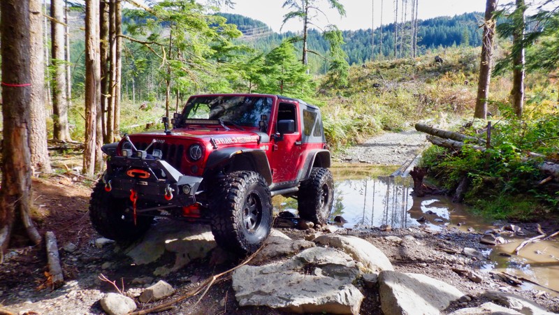
Updated: 05/15/2024
Easy Green
Gold Bar, Washington
Reiter Foothills Forest is a 4x4 Recreation area with trails designated for 4x4's, ATV's and motorcycles. There are 8.6 miles of trails for 4x4 use with about twice that amount in the planning stages. Reiter is noted for its quality rock crawling trails and they are rated 9-10 for sure. Easy Green is a trail that is a lot of fun with a small qualifier to get over to get started. There are some stairs about 12 inches that are a lot of fun that climb to the top and the trail then drops to the finish. At the end of the trail, you can connect with Easy Peasy and the other entrance to Beam Me Up Scotty.
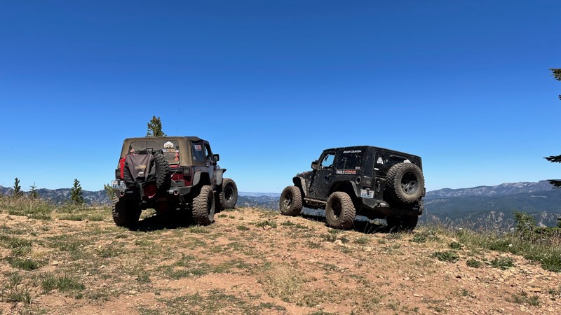
Updated: 07/17/2024
Baker Creek Trail
Liberty, Washington
If you think hill climbs are no big deal, you definitely haven't played on these trails in the Liberty OHV. Rising over 2,000 feet in just over 3 miles, these hill climbs will have you definitely a little bit puckered and your passengers looking for hand-holds. Just when you thought, "That's got to be the steepest hill climb I have ever done!" another even steeper comes at you around the corner. The rewards of these climbs are the staggering views of the surrounding valleys and Mt. Rainier way off in the distance. Baker Ridge Trail is one of many trails located in the Liberty OHV area. Along with a few others, this trail is located on the west side of US Highway 97. These trails are significantly harder than those in the rest of the Liberty OHV on the east side of US Highway 97. In addition to the hill climbs, there are switchbacks, a creek crossing, and some beautiful mountain meadows where you might see some deer or elk. This is a must-do trail if you are in the area.
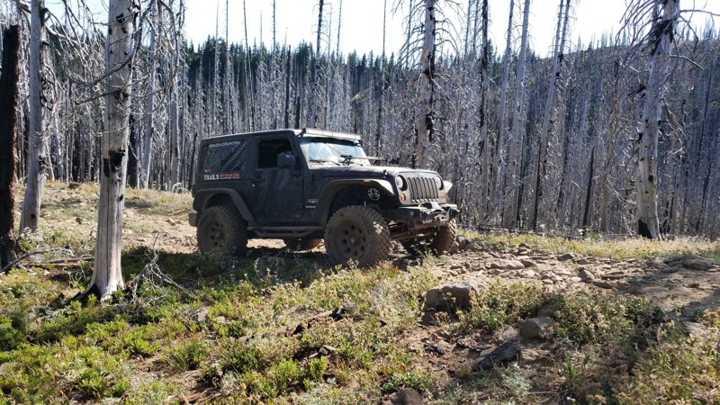
Updated: 07/15/2024
Tip-Over
Cliffdell, Washington
Tip-Over is located in the Okanogan-Wenatchee National Forest. The area is a popular off-roading destination. The trail climbs 2.5 miles to an altitude of just over 5900 feet. This trail is a straight-through trail and can be used as a connector between Tripod Flats and String / 4W309. Most of this trail is covered in lava rock with gorgeous soaring rock walls towering above. Just about the time you're ready to be off the rocky path you enter the Silver Forest. This is a section of the forest that burned a few years ago. The fire burned so hot and fast a lot of the trees were left standing with most branches burned off and the remaining trunks looking silver in color. You can see the silver shine on the trees all the time but when the sun hits them they shimmer and reflect the sun's rays. It is truly an amazing sight. When the wind blows in the Silver Forest, the trees whistle. This happens when the wind hits the splits in the burned wood causing a whistling effect. Once you have reached the ridge you can look down over the Silver Forest and see how far the fire spread. Despite that, there is beauty to be seen in the forest as it strives to come alive again with new growth. We ask anyone traveling the trail to respect the forest and stay on the trail so this beautiful forest can regrow!
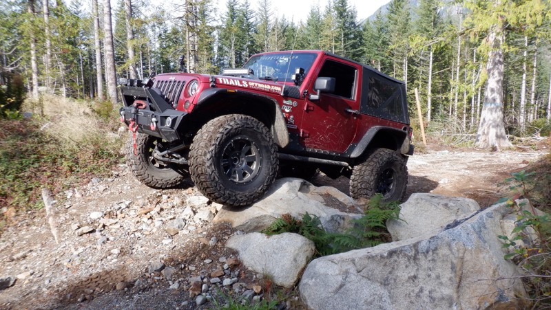
Updated: 05/15/2024
Ups and Downs
Gold Bar, Washington
Reiter Foothills Forest is a 4x4 Recreation Area with trails designated for 4x4's, ATV's and motorcycles. There are 8.6 miles of trails for 4x4 use with about twice that amount in the planning stages. Reiter is noted for its quality rock crawling trails and they are rated 9-10 for sure. Ups and Downs trail does a lot of that and traverses back and forth, up and down across the hillside. There are some optional obstacles with bypasses to make the trail just a little harder if you wish.
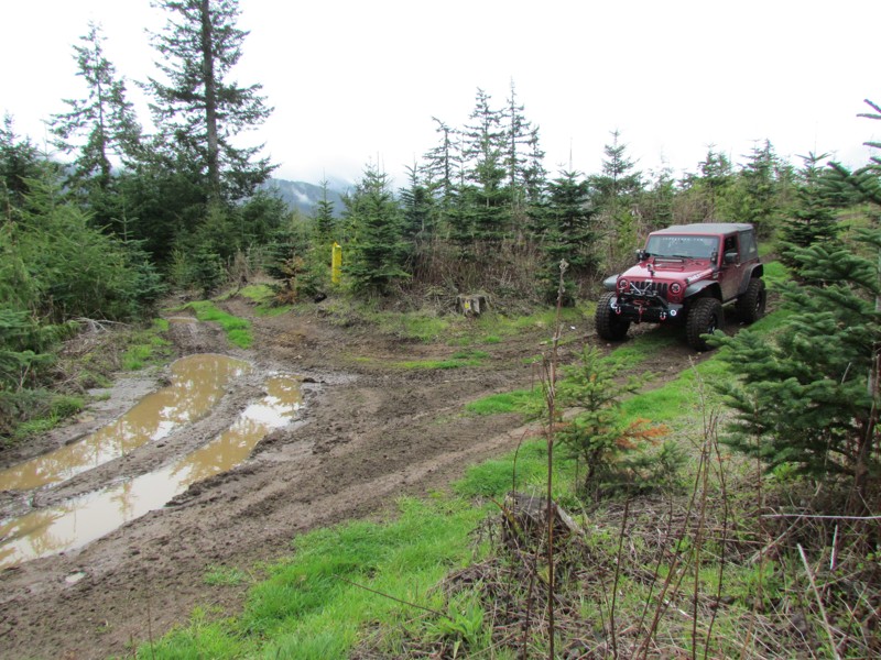
Updated: 06/05/2022
Sadie Creek - Rainier Lane
Port Angeles, Washington
Sadie Creek Multi-Use Trail System is a 6-mile network of tight and technical trails providing the user with a rustic off-road experience. There are five trails that weave through forests of varying ages and some clear-cut areas. The unobstructed views of the Strait of Juan de Fuca and Vancouver Island are breathtaking on a bright sunny day. While this park may not be very large and only has five short trails, the trails very tight and the presence of mud will make this a pretty difficult task for most vehicles no matter the build. This will make sure a really fun day of wheeling.
Rainier Lane is a trail that winds west to east through the middle of the park. It is known for its tight turns, off camber downhills and hidden stumps looking to grab a tire on the way by.
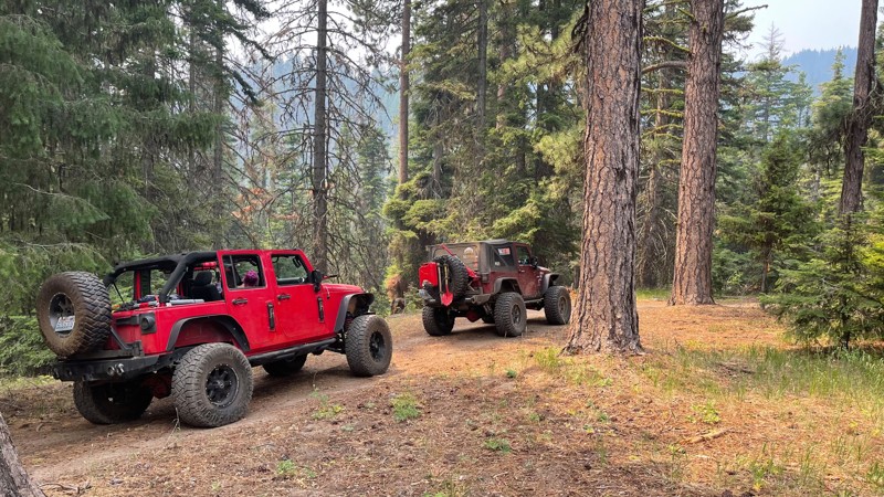
Updated: 07/17/2024
Baker Ridge Trail
Liberty, Washington
This Baker Ridge trail has all the earmarks of its surrounding sister trails, with some of the hill climbs being a bit more moderate. Not to be taken for granted, these climbs are still pretty significant. An adrenalin rush can be expected and savored as you are rewarded on the way up. Once on top, you will find some spectacular views of the surrounding valleys. Baker Ridge is one of many trails in the "Liberty OHV" area within the Wenatchee-Okanogan National Forest. Along with a few others, this trail is located on the west side of US Highway 97. These trails are significantly harder than those in the rest of the "Liberty OHV" on the East side of US Highway 97. These trails on this side of the highway offer a more seasoned driver and vehicle some real challenges and some of the more beautiful views in the Liberty OHV area.
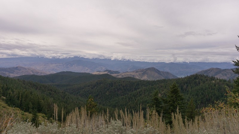
Updated: 05/29/2023
Derby Canyon Road Connector
Cashmere, Washington
Located 7 miles north of Cashmere, Washington, Derby Canyon Road is a connecting trail that leads you deeper into the Okanogan-Wenatchee National Forest. This may be a connecting trail, but there are plenty of views of the valley below as you pass through. The trail begins at the intersection Swakane Road, and heads further north before reaching its end at the trailhead of Entiat Ridge Road.
This trail is part of the Washington Cascade Overland Route. Visit Overlanding Across Washington for more information, including which trails to take next.
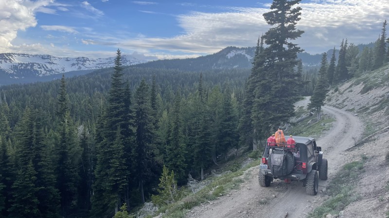
Updated: 11/20/2025
FS 1241
Rimrock, Washington
FS 1241 starts in the Rimrock Recreation area just a few yards from Rimrock Lake on Teiton Reservoir Road. The trail climbs 11.7 miles up to 6100 feet through some beautiful old-grown forest, ending at the hiking trailhead for Section 3 Lake. Towards the top, there is access to a 4x4 trail called 4W699-Section 3 Overlook. The road starts fairly easy and well-graded, but in the last few miles, the road turns into a less well-mainained secondary road. The ruts and mud that may be present raise the rating and require a high clearance vehicle. Keep in mind the snow levels at these elevations make these areas difficult to access well into August. This road was documented in July, and the last three miles were under snow, requiring a lifted vehicle with lockers.
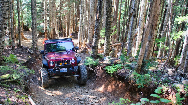
Updated: 11/06/2024
Evans Creek / Trail #310
Wilkeson, Washington
Are you ready for a hill climb? Trail #310, located in the beautiful Mt. Baker Snoqualmie National Forest, is one of a dozen trails in the Evans Creek ORV just 10 miles Southeast of Wilkeson, Washington. This trail has a very long, drawn-out hill climb with 15 - 20 inch boulders laying loosely in the path. At the last part of this hill climb, you will feel like you are in a spaceship blasting off with only the sky in your windshield. Get a good look before you commit and memorize the terrain. Once at the top, there are grand views of the surrounding mountains and valleys just north of Mt. Rainier.
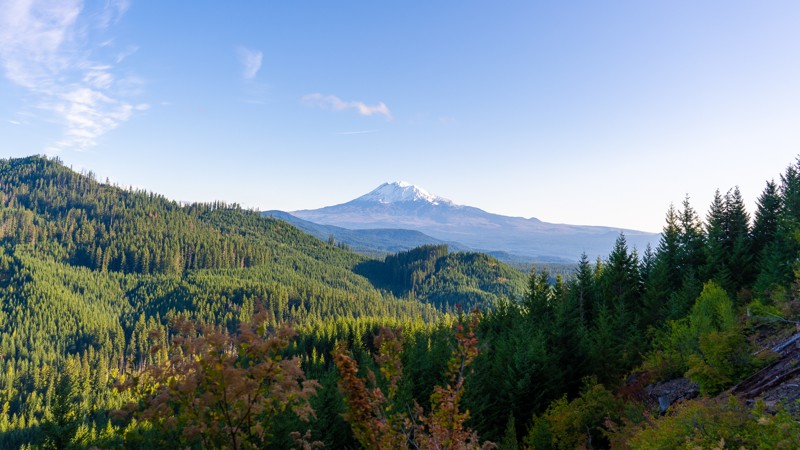
Updated: 08/26/2023
NF-6610 (Eastern Half)
Cook, Washington
NF-6610 is an easy stroll in the Gifford Pinchot National Forest. This tame route winds you through lush vegetation with minimal issues, making it a great trail for the whole family. With a few winding corners early on, it travels mostly downhill, with a slight climb towards the end, giving you occasional opportunities to overlook the vast forest that surrounds you. Although NF-6610 does not offer much in the way of camping, many of the surrounding trails offer dispersed campsites, as well as developed camping opportunities.
This trail is part of the Washington Cascade Overland Route. Visit Overlanding Across Washington for more information, including which trails to take next.
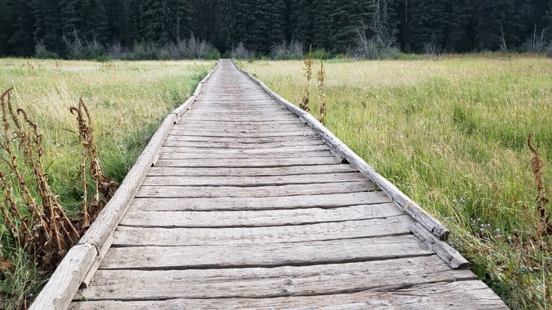
Updated: 07/01/2024
Divide
Ellensburg, Washington
This trail is located in the Okanogan-Wenatchee National Forest. This area is known for wheeling, camping, hiking, and swimming. In the summer months, it is hot and full of visitors enjoying its wide variety of activities. You can find all levels of trails in the forest and if your lucky you will catch a glimpse of the elk as they migrate through the area.
This trail is a long easy trail for most people to enjoy. There are beautiful views that look over the valley below that provide a nice place to pull over and take a deep breath. This trail is not very technical but provides just enough of a challenge to keep you interested. The rock climb and the long bridge crossing are just two of the exciting aspects of the trail.
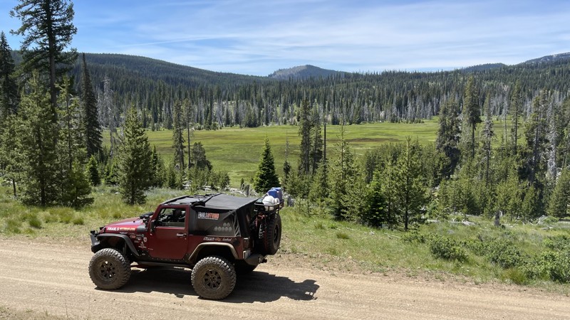
Updated: 10/15/2024
FS 1070
Silver Beach, Washington
FS 1070, located in the Ahtanum State Forest, starts towards the end of South Fork Tieton Road just before the Conrad Meadows Campground. The road crosses the South Fork of Tieton River and climbs steadily, apexing at approximately 5200 feet. This road does not receive much maintenance. There are rocky areas and washouts where a high-clearance vehicle is necessary. There are beautiful views of Mt. Adams to the south, and one of the area's biggest meadows harbors deer and elk in the spring and summer months. FS 1070 provides access to a 4x4 trail called 4W613 / Divide Ridge at the top. At about the 10-mile mark, the Forest Service has made some changes due to a huge washout. Thus, the road does not follow the map for about 3 miles. But rest assured, the GPX track included in this writeup is accurate. The road continues east through old forest burn areas that are rather beautiful before dropping down in elevation and ending at Tree Phones Campground on the North Fork Road. This road continues into the small town of Tampico just west of the city of Yakima.
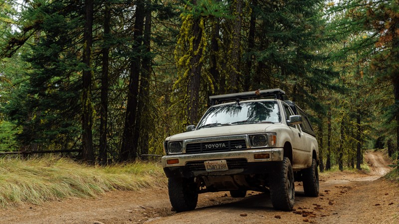
Updated: 08/13/2023
R-1000
Naches, Washington
R-1000 is one of the connecting roads to and from Bethel Ridge; this one traveling east toward the town of Nile and away from Rimrock Lake. The trail takes you out of the end of the Okanogan Wenatchee National Forest, and into Department of Natural Resources land. Unlike the nearby Bethel Ridge, R-1000 has no substantial drop-offs, nor muddy holes to watch out for; short of a few puddles. Rather, it’s a nice, brush filled trail often surrounded by trees, but with a few barren patches. If traveling east from Bethel Ridge, the drive will be spent as a descent, before arriving at an intersection with Meloy Canyon Road.
This trail is part of the Washington Cascade Overland Route. Visit Overlanding Across Washington for more information, including which trails to take next.
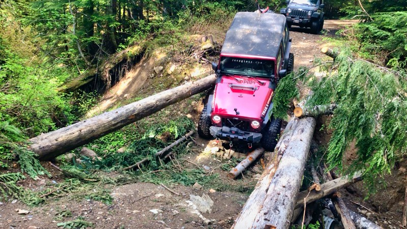
Updated: 12/14/2025
Poch Peak
Upper Fairfax, Washington
Pooch Peak, NF 7920, is mostly gravel and may have standing water in places during the early Spring and Fall. This road connects with many of the trails in the park, providing the ability to move quickly from one end of the park to the other. The trail is almost 6 miles from end to end and gains about 500 feet in elevation. At mile marker 4.1, there is a washout with a makeshift primitive bridge. Inability to navigate this obstacle may prevent access to Trail #199 and Trail #519. However, both trails can be accessed from Evans Creek / NF-7930. Along the way, there are areas to pull over and play in the mud or test your vehicle's climbing ability in the gravel pit. This trail is suitable for 4x4 vehicles with some lift. Many of the connecting trails may have higher difficulty ratings.
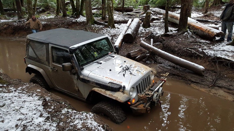
Updated: 09/01/2023
Elbe Hills OHV - Swamp Trail
Elbe, Washington
Aptly named, Swamp Trail is just that, a swamp! The mud pits seem to have no bottom and depending on the time of the year, the water can be up to a stock Jeep's headlights. Even so, if you have a stock vehicle don't let the name scare you, there is a bypass that can be used and allows for access of any high clearance vehicle to watch the better built rigs play in the muck. The best route to go on this off-road trail is east, which will drop you off in the middle of Gotcha Trail. This 4wd trail can also be used as an exit or shortcut out of Gotcha, Swamp Trail connects very close to the Log Jam, and will give you slightly faster access to some serious rock crawling action in that section of Gotcha.
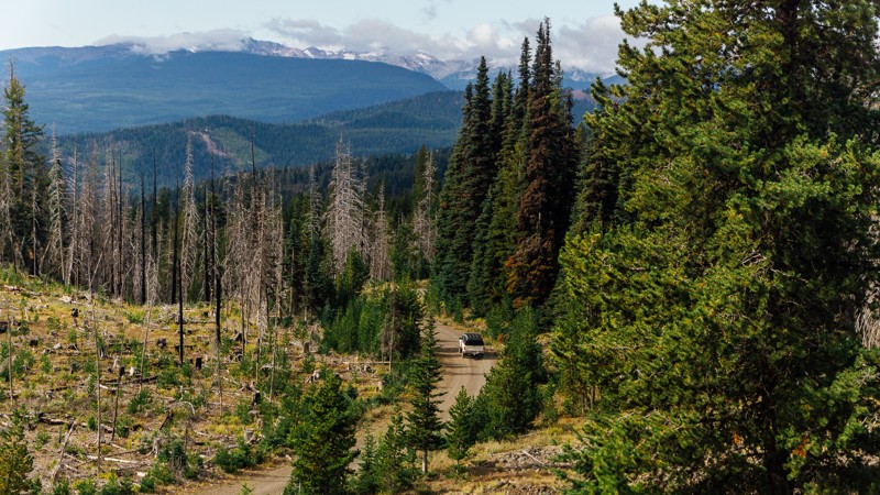
Updated: 05/16/2024
NF-324
Naches, Washington
After the switchbacks of NF-1500, you are given the option to depart early and continue on to NF-324, which will end up steering you towards the more challenging, and awe-inspiring Bethel Ridge. Despite being a short connector, NF-324 offers amazing views of Rimrock Lake, and the surrounding mountains, including Rainier and Adams. This trail is part of the Washington Cascade Overland Route. Visit Overlanding Across Washington for more information, including which trails to take next.
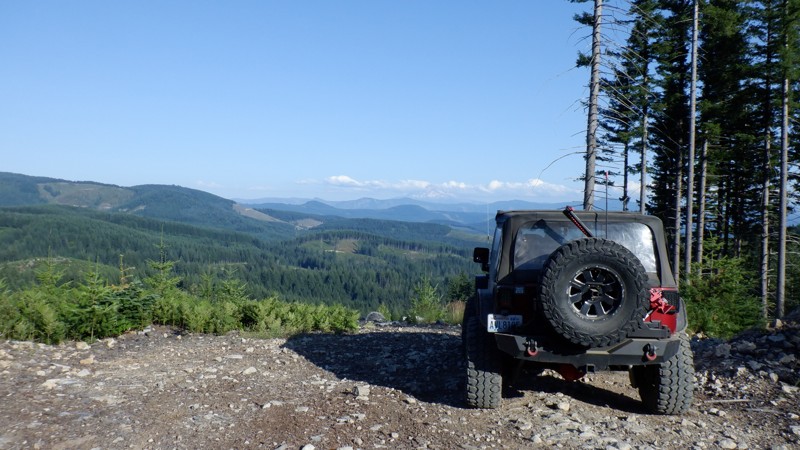
Updated: 06/05/2024
Screech Owl
Camas, Washington
Screech Owl is the second in a series of trails that are usually run consecutively. Skyline trail, then Screech Owl, and finally Snaggle Tooth. This trail is fairly short, but it makes up for it in some nail-biting descents through several switchbacks, with a few pretty large loose rocks on off-camber sections that will have your passenger cursing for you to get over. There are some views of Mt. Adams that on a clear day should not be missed. This trail will definitely test your skills behind the wheel.
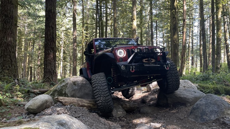
Updated: 05/15/2024
Driveway
Gold Bar, Washington
Driveway is a great 4x4 trail in the Reiter Foothills Forest is an excellent introduction to rock crawling. The obstacles are constant and are placed in a way that forces you to choose a line. There are no bypasses and no reward for driving around them since the trail is short and designed with obstacle navigation in mind. The Reiter Foothills Forest is a 4x4 Recreation area with trails designated for 4x4's, ATV's and motorcycles. There are 8.6 miles of trails for 4x4 use, with about twice that amount in the planning stages. Reiter is noted for its quality rock crawling trails, and they are rated 9-10 for sure. But there are other more tame trails, like this one, with plenty of tight twists, stumps, and roots to keep the driving interesting.
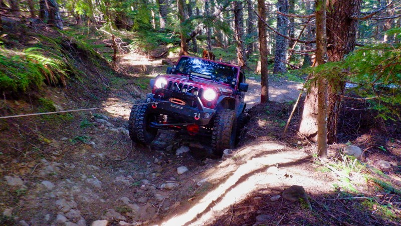
Updated: 04/01/2024
Evans Creek / Trail #199
Wilkeson, Washington
In the Mt. Baker / Snoqualmie National Forest and part of the Evans Creek ORV Area, Trail #199 is one of a dozen trails designated for 4x4 use for over 45 miles of trail riding. Trails are well marked and even rated from easy to most difficult. Trail #199 winds up through old-growth forests with switchbacks with tight and narrow turns, and the hill climbs can be pretty intense. This trail would be an excellent one for a beginner to gain confidence in their driving and vehicle's abilities.
Updated: 06/15/2024
Pickle Prairie
Naches, Washington
Situated in the Okanagan - Wenatchee National Forest is the "Rimrock Recreation Area" hosting Rimrock Lake, a very popular destination for boating and fishing. What makes this area so special is the 30-40 4x4 trails along with 100's of miles of forest service roads to explore. Pickle Prairie is a trail that climbs up through some old-growth forest to an altitude of 4200 feet. There are several mountain meadows full of spring and summer flowers along the way with beautiful views of the surrounding cliff-faces. To complete this trail you need to be ready for some serious hill climbs that border on insane without a safety line. Experienced wheelers in well-built rigs, will find this trail quite challenging. Stock vehicles can do some exploring up to Waypoint 3.
Updated: 10/09/2024
Van Epps Loop
Ronald, Washington
Van Epps Loop Trail is in the Okanogan-Wenatchee National Forest. This area is a great getaway from city life to unwind and enjoy the beautiful scenery in a peaceful setting. You can experience the undeveloped forest, clean streams, and if your lucky, get a glimpse of some deer or elk. Van Epps Loop is an alternate trail off of Van Epps Pass trail, located just North of Roslyn, Washington (home of the hit TV show "Northern Exposure"). It is only accessible for four-wheel-drive vehicles from the middle of June until November. Van Epps Loop provides an alternate route with wonderful views of a mountain top that is peacefully setting above an open meadow with lots of flowers and a small creek running across the trail and down onto the meadow.
Updated: 03/12/2026
BR-16
Mount Vernon, Washington
BR-16 is a service road on the south side of the Walker Valley ORV Park. The trail is a dirt road that can be muddy and has many potholes. It can be a busy place, and while there is ample room, be mindful of other drivers around you. The trail as a whole is fairly easy and could be accomplished by almost any vehicle, but it can only be accessed after completing the gatekeeper on WV-22 and completing EZ-Valley Connector. After departing from EZ-Valley Connector, this trail gives you access to Ridge Ram and ends at the intersection with BR-ML, giving you further access to the trails within the park. Walker Valley ORV is comprised of 3,200 acres, with twelve 4X4 trails, and many more ATV and dirt bike trails. The trails offer many challenges like rocks, roots, and ruts. These obstacles will change from season to season, with the addition of snow and rain, which can also produce large puddles and muddy stretches. From the mild to wild, Walker Valley ORV provides something for everyone.
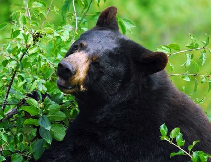
Updated: 06/05/2022
Sadie Creek - Black Bear Run
Port Angeles, Washington
Black Bear Run is situated on DNR land in a 4x4 park called Sadie Creek Multi-Use Trail System. This park is a 6-mile network of tight and technical trails providing the user with a rustic off-road experience. There are four trails that weave through forests of varying ages and some clear-cut areas. Black Bear Run winds through the upper clear-cut section of the park. It consists of very tight turns protected by stumps and off-camber turns and dips. This trail requires serious attention to detail to keep your fenders intact. Be on the lookout for the Black bear sow and her cub that were spotted in this area at the time it was mapped, and who the trail is named for. The unobstructed views of the Strait of Juan de Fuca and Vancouver Island, BC are breathtaking on a bright sunny day. While this park may not be very large and only has four short trails, the trails are very tight and the presence of mud will make this a pretty difficult task for most vehicles no matter what the build.
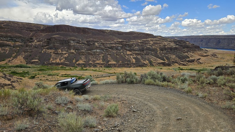
Updated: 01/11/2026
Little Brushy Creek Trail
Sunland Estates, Washington
There's nothing 'Little' about Little Brushy Creek Road unless it's the clearances through some of the brushy sections. This Green Dot road offers users a wide range of experiences, from sections of steep and slippery rocks down a ridgeline with gorgeous views, to off-camber corners, to lush valleys and thick brush, deep water crossings, abundant grasslands, and even some portions of easy dirt road. Little Brushy Creek is a fun and challenging road that gets you closer to the water and is best suited for a high clearance 4x4 with deep water fording ability. Pinstriping along this trail should be expected. Generally, the Green Dot road system allows for camping within 100' of any marked road. However, there are no established locations along this trail that would make for a good campsite.
Green Dot Roads are a collaboration between DNR, the Washington Department of Fish and Wildlife, and private landowners to provide opportunities for dispersed recreation such as camping, hunting, off-road vehicle riding, and wildlife viewing. Green Dot roads are the legal motorized routes and marked with a round green reflector on a white route marker. You can find current mappings that will include seasonal and other closures at https://wdfw.wa.gov/about/wdfw-lands/green-dot. A Discover Pass is required for portions of DRN land that are included in Green Dot road maps.
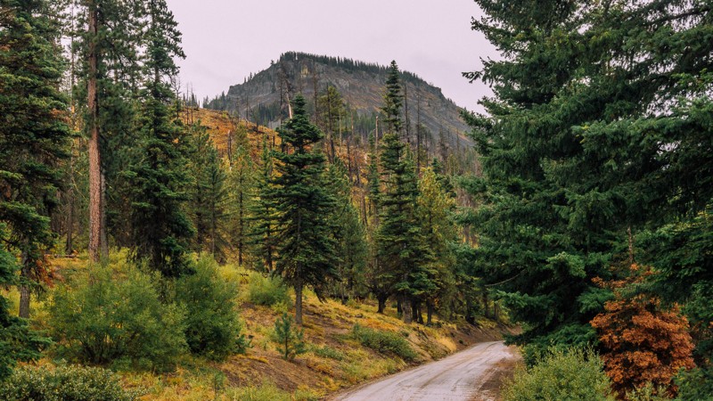
Updated: 04/13/2024
Swauk Meadow Road
Liberty, Washington
Swauk Meadow Road is a short trail located in the Okanogan-Wenatchee National Forest, about 15 miles South-West of Wenatchee. The trail is not particularly exciting, as its main purpose is to be the link between Highway US 97 and Liberty Beehive Road, near Table Mountain Road. Liberty Beehive Road has some narrow portions as well as some washouts and can become impassible even to 4X4 vehicles. If that happens, Swauk Meadow Road can be used as an alternate route or and an exit from the forest. The road also has several short offshoots, which may be used for dispersed camping.
This trail is part of the Washington Cascade Overland Route. Visit Overlanding Across Washington for more information, including which trails to take next.
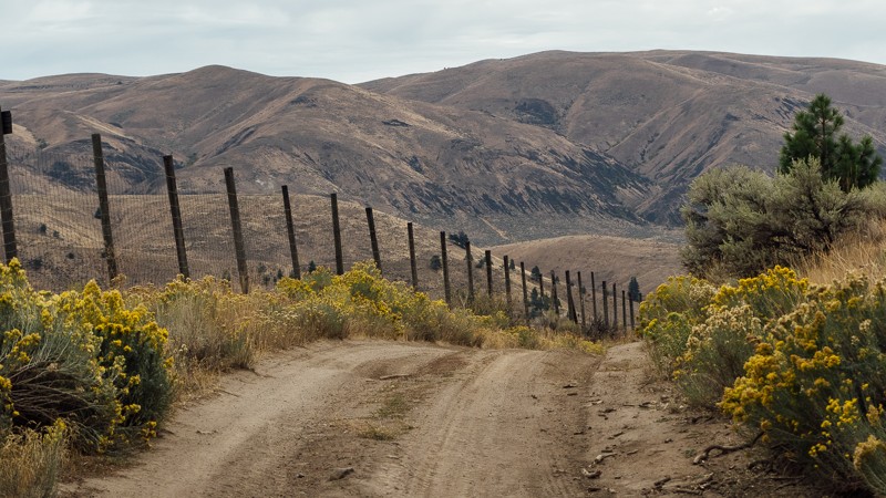
Updated: 09/09/2023
Jones Road
Nile, Washington
Jones Road begins at 4,946 feet, near the peak of Cleman Mountain, on the western edge of the Wenas Wildlife Area. It’s a dusty, rocky road that is fine for any 4X4, though cars will have a less enjoyable time. The entire trail is a descent, dropping over 2,600 feet after departing from Cleman Mountain toward the small town of Wenas. Early on you’ll traverse a switchback, the bottom of which has a nice dispersed campsite. The trail then continues down the mountain, passing through a few patches of trees and wide-open sections of brush.
Once you’ve reached the end of the trail, it may look like a short, half-mile stretch keeping you from reaching pavement on North Wenas Road. Unfortunately, at the end of the trail, you’ll find an intersection with a sign pointing you to turn right. If you continue straight, you’ll find yourself on a local farm, and on private property. Make sure not to miss the turn, and to continue on to Newlands Road.
This trail is part of the Washington Cascade Overland Route. Visit Overlanding Across Washington for more information, including which trails to take next.
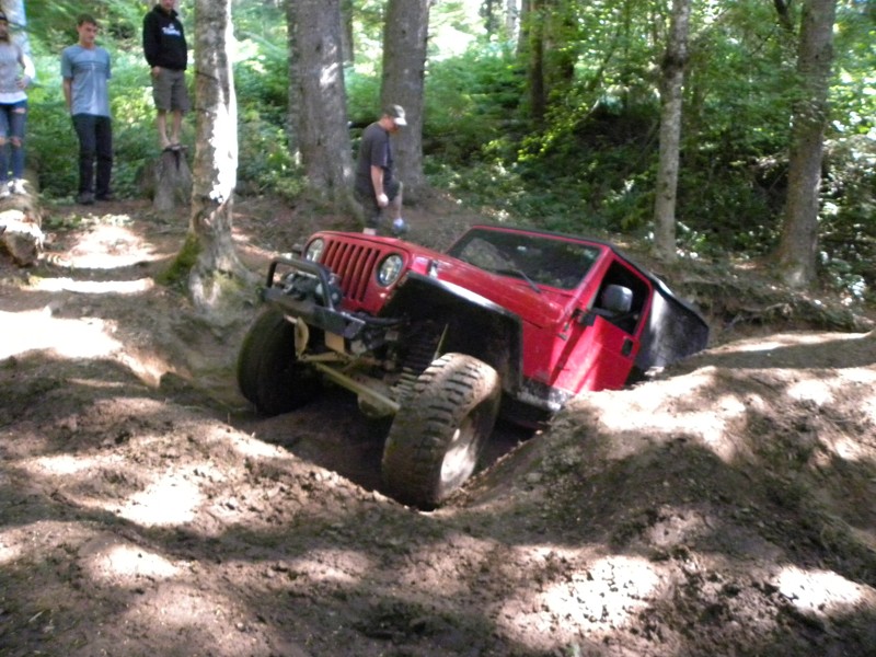
Updated: 09/15/2022
Elbe Hills OHV - Alder Loop Trail Upper
Elbe, Washington
Quite possibly the most diverse set of trails in the Elbe Hills system, Alder Loop has 3 parts: Inner, lower, and upper. If you want to take your girlfriend/boyfriend/spouse/kid out here and let him/her learn how to wheel, put them on Inner Alder, this is a very forgiving trail segment and has something of everything on it. For the hardcore wheeler, the upper area is just off the Mainline Trail "hill-climb" after you come off the climb bear to the left and follow the off-road trail to the right at the fork once inside the trees. There is a nice rutted out off-camber hole with the choice of 4 routes, one can be done by a stock rig, one can be done with lockers, one can be done with a winch, and the best one, well, it can't! Definitely a do not miss trail in Elbe Hills!
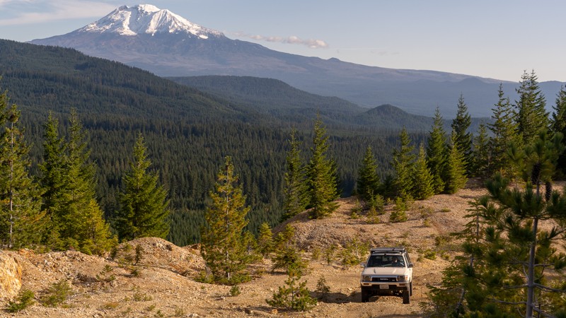
Updated: 11/01/2023
Mann Butte
Trout Lake, Washington
Mann Butte is a short, nearly two-mile extension off of NF-8620-070. It’s a trail that could easily be missed, but doing so would rob you of a spectacular view. Waypoint 3 offers both an amazing view of Mount Adams, as well as a fantastic campsite; albeit potentially windy. The drive to and from the viewpoint is a bit rough, and thus 4WD is recommended, but it is well worth the view, even if on foot. There are two additional dispersed campsites on this trail, at Waypoints 2 and 4, if the viewpoint is already full. While Waypoint 4 does mark the end of the trail, it does continue on, though it is too narrow for vehicles. Regardless if you’re looking for a place to camp, just in the area on a day trip, or crossing all of Washington state, this trail has a view that you won’t want to miss.
This trail is part of the Washington Cascade Overland Route. Visit Overlanding Across Washington for more information, including which trails to take next.
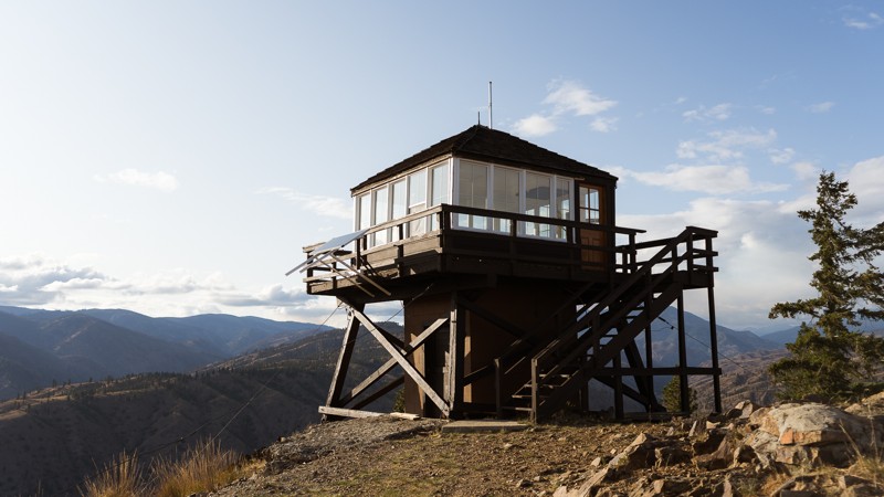
Updated: 04/01/2024
Steliko Lookout Tower
Ardenvoir, Washington
Steliko Lookout Tower is a short trail with beautiful views. It begins 17 miles south-west of Chelan, Washington in the Okanogan-Wenatchee National Forest. After a brief 1,000 foot ascent, you’re met with the Steliko Lookout Tower. The lookout began as a camp in 1925 before the current 10 foot L-4 structure was created in 1947. Between the 1930s and 1960s, there were 13 fire lookouts staffed in the Entiat Ranger District, including Sugarloaf and Tyee. Despite its low elevation, Steliko was a crucial lookout for the forest. Best of all, in 2019 volunteers renovated the lookout so that it could be used as overnight stays by visitors. This trail and lookout offer amazing views of the surrounding canyons and are great for overlanding, unique camping, and anyone wanting to experience part of the history of the forest.
This trail is part of the Washington Cascade Overland Route. Visit Overlanding Across Washington for more information, including which trails to take next.
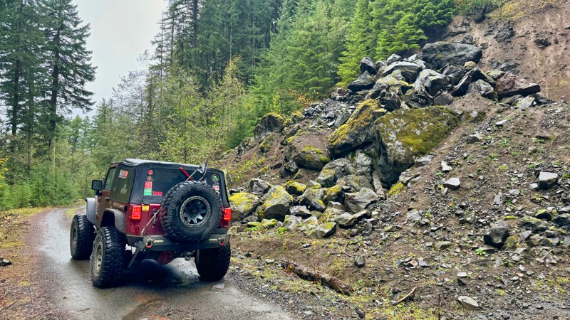
Updated: 06/23/2025
Wildcat
Carlson, Washington
In the Gifford Pinchot National Forest, FS-7409 is an exhilarating forest service road stretching for approximately 10 miles, offering adventure seekers a thrilling journey filled with steep hill climbs and breathtaking views. The trail has awe-inspiring vistas to the east, showcasing the natural beauty of the surrounding landscape. One of the highlights of FS-7409 is the magnificent sight of Mount Rainier, which stands proudly on the horizon. Along the way, this road intersects with FS-7400, providing access to the picturesque Little Nisqually River and camping opportunities for those seeking to immerse themselves in the tranquility of nature. Combining FS-709 with FS-7400 makes a huge 42-mile loop for a complete afternoon of exploration. With its challenging terrain, stunning vistas, and camping possibilities, FS-7409 is an ideal destination for outdoor enthusiasts looking for an unforgettable experience in the great outdoors.
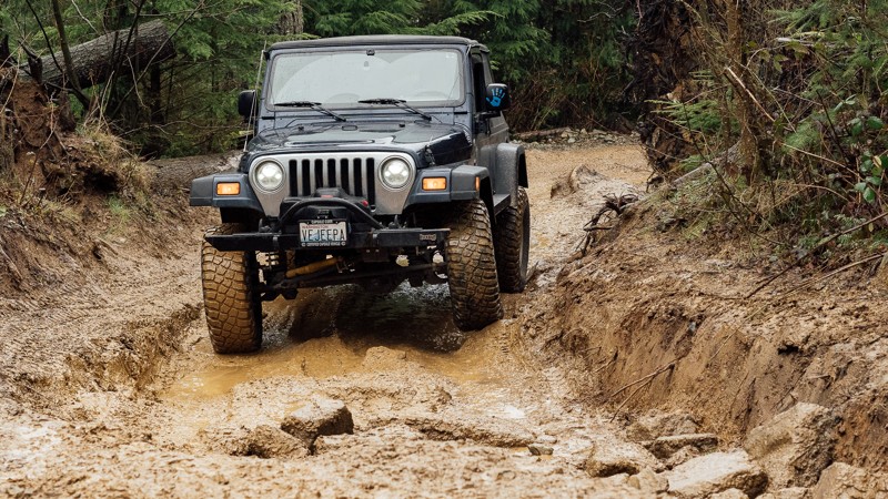
Updated: 03/12/2026
EZ-Valley Connector
Mount Vernon, Washington
EZ-Valley Connector is one of the first trails available to you in the Walker Valley ORV Park. It’s got a few obstacles, including a small rocky area, ruts and puddles, and a large stump with a somewhat steep loop. There is a three-way split after Waypoint 2, with a few different options for fun. While this trail doesn't have too many challenges, increased rainfall and snow melts will make the trail become muddier, and the puddles will increase in size. This will increase the challenge and the fun. But, if you’ve made it to the trailhead and past the gatekeeper of WV-22, this trail will be easy for you. Besides muddy walls, you’ll see lots of smaller trees and, ferns, and stumps along this trail. It’s a great first trail and intro into Walker Valley ORV. As the name would imply, the trail is somewhat of a connector, used to gain further access into the park. Walker Valley ORV is comprised of 3,200 acres, with twelve 4X4 trails, and many more ATV and dirt bike trails. The trails offer many challenges like rocks, roots, and ruts. These obstacles will change from season to season, with the addition of snow and rain, which can also produce large puddles and muddy stretches. From the mild to wild, Walker Valley ORV provides something for everyone.
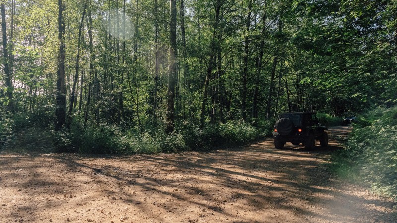
Updated: 03/12/2026
WV-05
Mount Vernon, Washington
Between the two gatekeepers into Walker Valley ORV, WV-05 is both the easiest and the hardest; depending on what you drive. Its narrow gatekeeper won’t be difficult to smaller vehicles but may keep those in larger rigs from entering. But rest assured, there is another way in via WV-22. This trail introduces you to the northern section of the park, immediately connecting with Upper Mainline, and getting you to the 4X4 Skills Area sooner than the southern route. Shortly after the gatekeeper is a great stop for group meets with a nice view. If you can make the squeeze, you’ll be rewarded with great wheeling soon after. Walker Valley ORV is comprised of 3,200 acres, with twelve 4X4 trails, and several more ATV and dirt bike trails. The trails offer many challenges like rocks, roots, and ruts. These obstacles will change from season to season, with the addition of snow and rain, which can also produce large puddles and muddy stretches. From the mild to wild, Walker Valley ORV provides something for everyone.
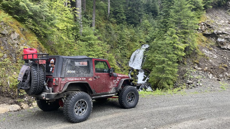
Updated: 11/30/2025
FS 47
Packwood, Washington
FS47 is a road to nowhere with interesting scenery and side roads that might make some excellent camping spots. The road starts on FS-52-Skate Creek and climbs to about 3200 feet, then down through a lush and mossy valley. The road surprisingly becomes paved at about the 10-mile mark. However, this pavement is not maintained and has rough and bumpy sections. The road ends at a washout that has not been repaired. The road initially ended near Silver Brook, WA, but because of the washout, that section was abandoned.
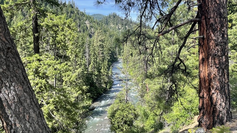
Updated: 11/01/2025
South Ford Tieton Road
Rimrock, Washington
South Fork Tieton Road is a 12.7-mile drive into the wilds of the Rimrock Recreation Area. Starting at Rimrock Lake, the road is single-lane pavement for about 6 miles, then turning to dirt at a snow gate. This gate is open from May 1st through November 1st. Following the South Fork Tieton River, this road provides staggering views of the high cliffs guarding the river. There are four large dispersed campgrounds along this road, starting with Lower Bakeoven, then Grey Creek, Minnie Meadows, and ending at Conrad Meadows. The road continues at Conrad Meadows but is marked as close to vehicle traffic, so please only explore further on foot. For those looking for a challenge, close to the end of the road is FS-1070 which intersects and takes you further up into the highlands east of the South Fork Tieton River.
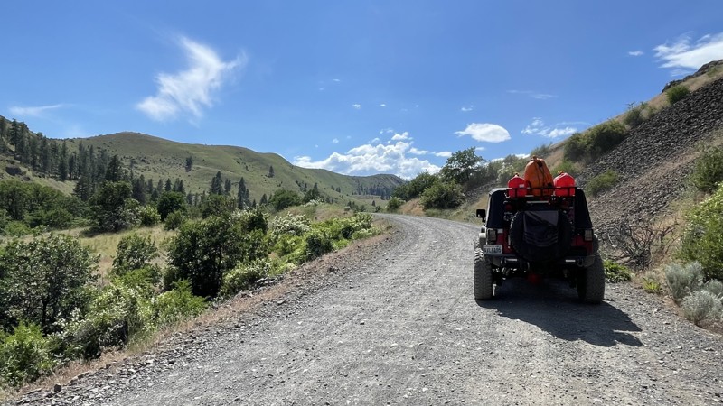
Updated: 12/15/2025
Oak Creek Road
Tieton, Washington
Oak Creek Road starts on US Hwy 12 and climbs steadily 14.6 miles through a valley of old-growth forest of oak and mature conifers. The road intersects with a jeep trail called 4W325. Oak Creek Road is a steady climb, so using lower gears will keep your transmission cooler. The road is open from May 1 - Dec 15 and is gated so be sure and time your exit correctly if you are coming down reverse from the top or you might encounter a locked gate. This road provides stunning views of high mountain cliffs and rocky volcanic hillsides. It also provides access via FS-14235 to Bear Lake and two other 4x4 trails (4W652 & 4W671). There are more than a dozen or so campsites see from the road and many branching trails that probably lead to some better ones. This area is known in the fall for elk camps and they are usually quite nice.
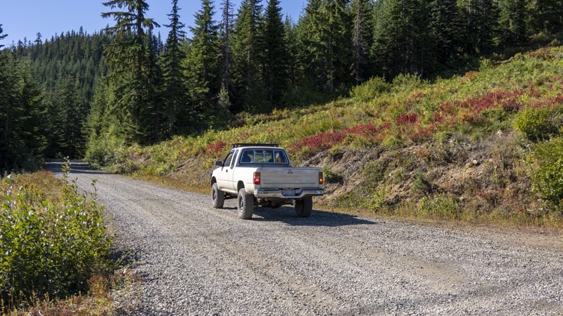
Updated: 08/27/2024
Cabin Creek (West)
Easton, Washington
Paralleling a section of the Pacific Crest Hiking Trail, Cabin Creek North offers a different route from Interstate 90 to Tacoma Pass. This scenic detour runs on the opposite side of the washout of Cabin Creek. Even though the two halves of the offroading trails no longer link up, driving on both sections still makes for a whole day of adventure near the town of Easton, Washington.
Cabin Creek Road was named after the historic town, which was established as a sawmill camp alongside the main line of the Northern Pacific Railway (now the Burlington Northern Railway) in 1916. The town was situated east of the railway's tunnel in the Stampede Pass.
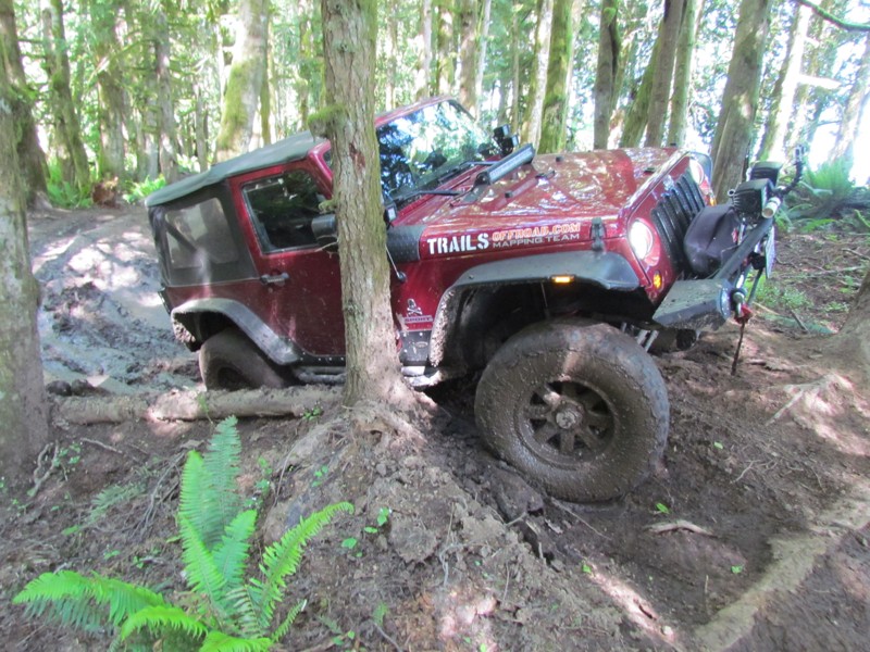
Updated: 06/05/2022
Sadie Creek - 9 Grand
Port Angeles, Washington
"Sadie Creek Multi-Use Trail System" is a 6-mile network of tight and technical trails providing the user with a rustic off-road experience. There are five trails that weave through forests of varying ages and some clear-cut areas. The unobstructed views of the "Strait of Juan de Fuca" and Vancouver Island are breathtaking on a bright sunny day. While this park may not be very large and only has five short trails, the trails being tight and the presence of mud will make this a pretty difficult task for most vehicles no matter the build. This will make for a really fun day of wheeling.
9 Grand is a trail that winds along the right-side border of the park, through some mature forest and into some swampy areas. This trail can be run in either direction (north or south) but during the rainy season, this trail can be very difficult with the mud obstacles.
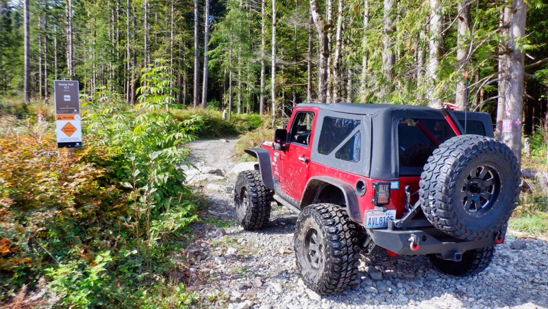
Updated: 05/15/2024
Easy Peasy
Gold Bar, Washington
Reiter Foothills Forest is a 4x4 Recreation area with trails designated for 4x4's, ATV's and motorcycles. There are 8.6 miles of trails for 4x4 use with about twice that amount in the planning stages. Reiter is noted for its quality rock crawling trails and they are rated 9-10 for sure. This trail is a very short connector trail that gets you from the staging area back into the rear of the rock crawling trails. You can also access Easy Green from this trail.
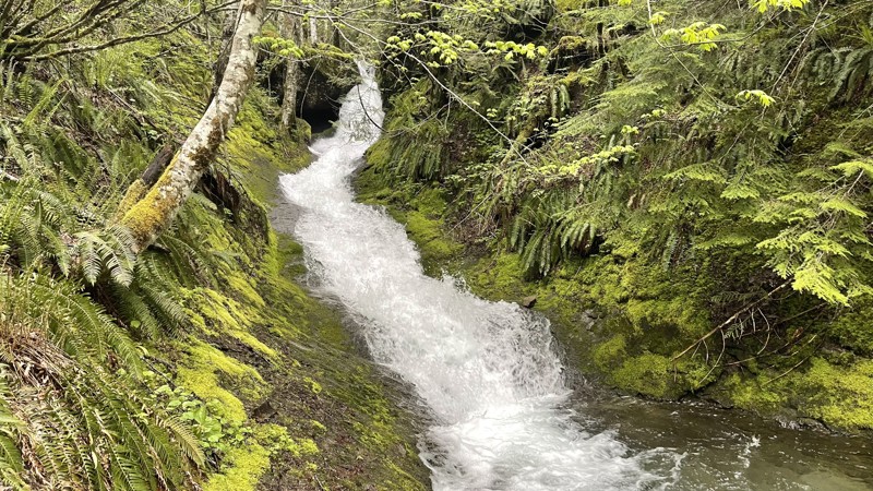
Updated: 10/15/2024
Butter Creek
Packwood, Washington
FS 5270, also known as Butter Creek, starts on the Skate Creek Road and climbs to about 3200 feet. This road crosses several waterfalls and a beautiful creek, providing a really nice camping spot just past the bridge on the right. The road travels through a lush old-growth forest and dead-ends at Tatoosh Trail 161 hiking trailhead.
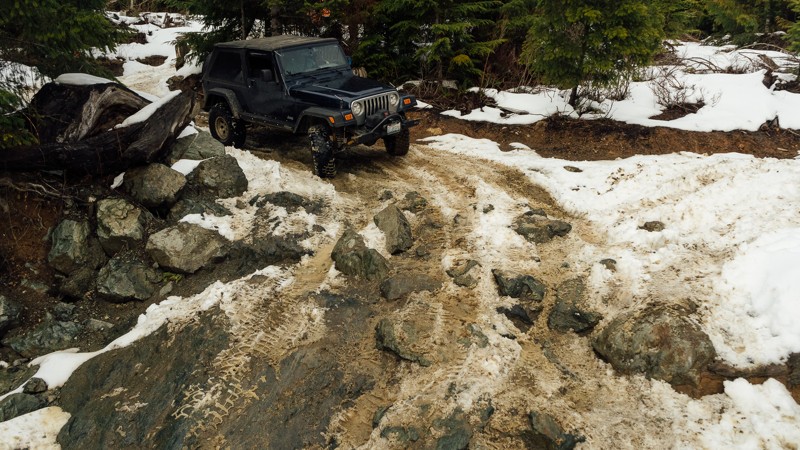
Updated: 03/12/2026
Rock On
Mount Vernon, Washington
Rock On is the place to test out your rock crawling skills. Also known as the Skills Area of Walker Valley ORV, Rock On is a short but challenging trail with many obstacles to put your rig through, including a large 8-foot v-notch for the most extreme wheelers. When combined with First Timer, the Skills Area makes a loop that can be run again and again. Bring your wheeling buddies and see what you can (or can’t) do! Walker Valley ORV is comprised of 3,200 acres, with twelve 4X4 trails, and several more ATV and dirt bike trails. The trails offer many challenges like rocks, roots, and ruts. These obstacles will change from season to season, with the addition of snow and rain, which can also produce large puddles and muddy stretches. From the mild to wild, Walker Valley ORV provides something for everyone.
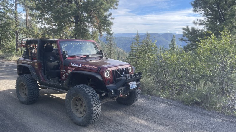
Updated: 10/15/2024
Gold Creek Road / FS-1703
Pinecliff, Washington
Gold Creek Road, also known as FS-1702, is a primitive dirt road that travels north into the Manastash trail system. The beginning has a "Bridge-out / Road Closed in 2 miles" sign. However, a 4x4 trail cuts into the ravine taking you down and around the washout. Any 4x4 vehicle will be comfortable on this detour. The trail climbs to 5400 feet and connects with FS-1721/1722. The views along Gold Creek Road are spectacular. There are many off-shoot roads that provide primitive camping and lookouts.
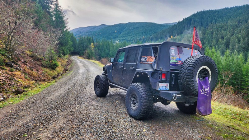
Updated: 12/14/2025
Twenty-Eight Mile Creek
Snoquera, Washington
Twenty-Eight Mile Creek starts on FS-70 just past the shooting pit and travels just over 14 miles to an elevation of 4800 feet. The road then reconnects with WA Highway 410, creating a large loop. The scenery that unfolds on Twenty-Eight Mile Creek is nothing short of awe-inspiring, offering an opportunity to immerse oneself in the awe-inspiring beauty of nature's untouched splendor. This captivating road unveils breathtaking vistas of a concealed valley. While no campsites are along the road, many spur roads undoubtedly lead to lookouts and fantastic camping opportunities.
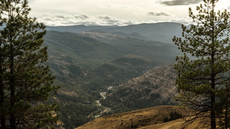
Updated: 09/09/2023
NF-1711
Nile, Washington
NF-1711 begins outside of the Okanogan-Wenatchee National Forest and continues to weave in and out of the forest before arriving at the intersection of NF-1712. After leaving the residential area near the trailhead, the route takes you on a dusty, gravel road mingling among surrounding trees and brush. There is a bit of a climb early on, where rocks in the road get slightly larger. While 4-low is not required, it may be adventitious here, allowing you to travel more slowly over the steep, rocky terrain. For this reason, a car with street tires will have a difficult time, and the rocks may damage the sidewall, leading to punctures. A stock 4X4 with appropriate tires won’t have difficulties.
Dispersed camping is available on this trail as well. Some sites will reward you with a wonderful view of the valley below. If you have been following the overland route, you’ll see Rattlesnake Creek; where you had passed about an hour ago on either NF-1500 or Meloy Canyon Road.
This trail is part of the Washington Cascade Overland Route. Visit Overlanding Across Washington for more information, including which trails to take next.
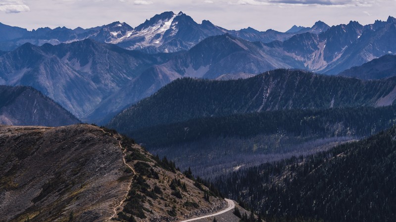
Updated: 10/02/2023
Slate Peak
Mazama, Washington
At over 7,000 feet, Slate Peak is the highest road in the state of Washington, as well as the home to the highest fire lookout. The lookout was initially created in 1924 as a gable-roof cupola, before being removed for other use. In 1956, the peak was reduced by 41 feet and leveled to build a radar station for the Air Force during the Cold War. However, the station was never built, and what now remains is a concrete slab, with an emergency use fire tower standing 41 feet tall. The road also passes near the Pacific Crest Trail, as well as other hiking and horseback trails. With spectacular views of the surrounding mountains, Slate Peak is an intense trail you won’t soon forget.
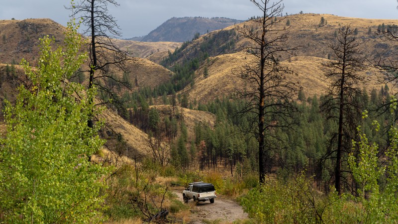
Updated: 07/14/2024
Ruby Grade
Conconully, Washington
Ruby Grade is a slightly challenging trail with local mining history. It begins east of the Okanogan-Wenatchee National Forest, about 4 miles south of Conconully, and 12 miles north-west of Okanogan. The trail is a little rough with a steep descent but offers beautiful views of the surrounding peaks and valleys. At the bottom of the trail is what remains of the town of Ruby. Ruby was constructed in 1886 and had been the center of the Okanogan County silver boom. However, when the price of silver dropped in 1893, the town was abandoned overnight, and now all that now remains are the stone foundations. This is an enjoyable drive, and great addition to the history found in Loup Loup Canyon Road.
This trail is part of the Washington Cascade Overland Route. Visit Overlanding Across Washington for more information, including which trails to take next.
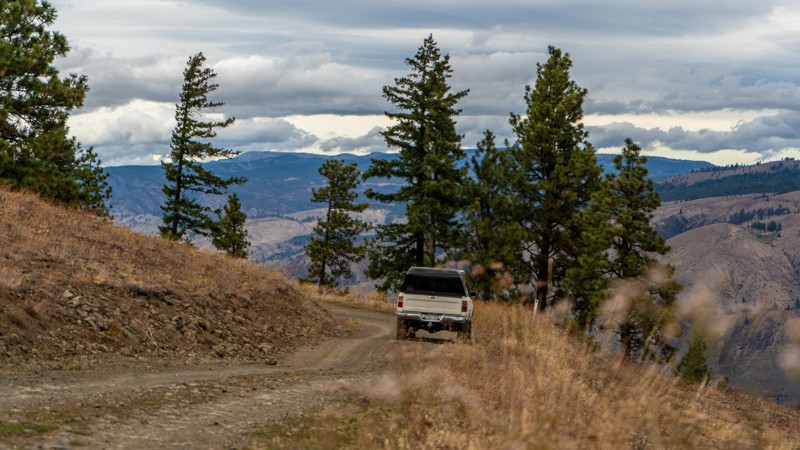
Updated: 08/14/2023
Meloy Canyon Road
Naches, Washington
Meloy Canyon Road is a connecting road between the town of Nile, and the local favorite, Bethel Ridge. The trail is far less open than the connected R-1000 and does have some narrow portions, with light ridgeling driving. Pullouts are present, and negotiating with other drivers shouldn’t be difficult. The trees become denser the further down you travel, though not as lush as the forests to the south. After a descent of nearly 2,100 feet, Meloy Canyon Road ends at the intersection of Bethel Ridge Road/NF-1500. From there, it’s a short drive into Nile.
This trail is part of the Washington Cascade Overland Route. Visit Overlanding Across Washington for more information, including which trails to take next.
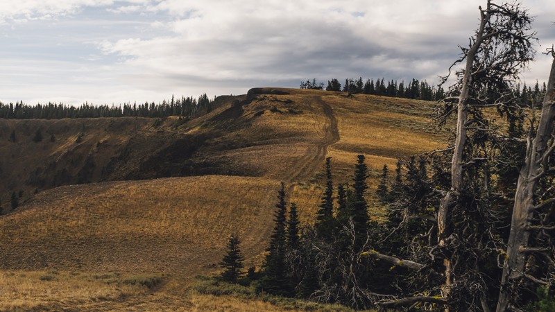
Updated: 04/22/2024
Bethel Overlook
Naches, Washington
The views of Bethel, but with twice the challenge! Following the great scenery of Bethel Ridge, a new perspective can be found after a short trek through the trees, and a calm drive to Bethel Overlook. After the views, the trail takes on a more aggressive persona, with a loose and rocky surface, and steep drops. This trail would be great for adding an additional challenge to an overlanding trip, though it may be best kept for a day trip. Whether you seek views, adventure, or challenges, you’ll find them all on Bethel Overlook.
This trail is part of the Washington Cascade Overland Route. Visit Overlanding Across Washington for more information, including which trails to take next.
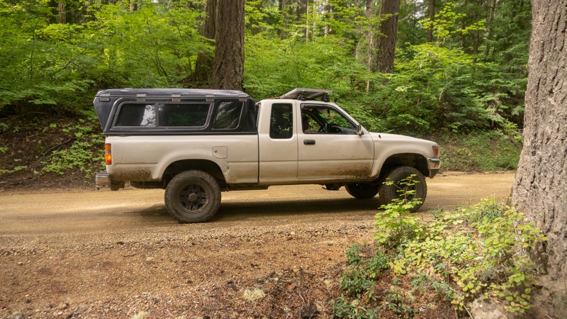
Updated: 04/10/2024
NF-24 Connector
Trout Lake, Washington
NF-024 takes you away from the Natural Bridges and Guler Ice Caves, and back into the wilderness of the Gifford Pinchot National Forest. There is a large area of dispersed camping at Waypoint 8. Heading mostly north, you’ll reach the intersection of NF-024 and NF-8821 after nearly 4 miles, near Deadhorse Meadow.
This trail is part of the Washington Cascade Overland Route. Visit Overlanding Across Washington for more information, including which trails to take next.
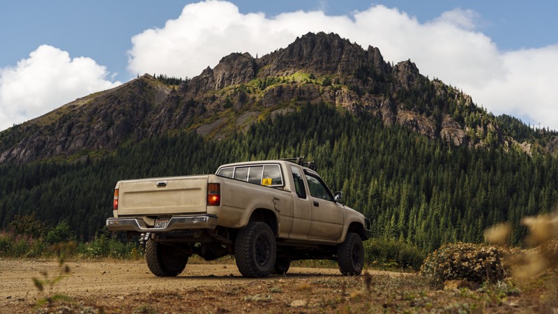
Updated: 08/27/2024
Whistler Creek Road
Greenwater, Washington
Whistler Creek Road is the first trail in the Stampede Pass Overland Route and features the Kelly Butte Lookout. The lookout was first built in 1926, then replaced in 1950, and manned until the 1980s. Today, it’s a one-mile-long hike to the lookout, with views of Mt. Rainier, Mt. Baker, and Mt. Stuart. The drive ends with a pair of secluded dispersed campsites with great views of their own. Stampede Pass Route is a 32-mile mountain pass through the Cascade Range, just south of Snoqualmie Pass in Washington. The pass was created to service railroads that traversed the Cascade Mountains. Today, it covers several well-maintained forest roads with ample room and views throughout.
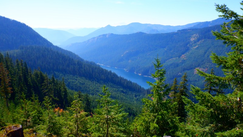
Updated: 10/15/2024
NF-4617
Snoqualmie Pass, Washington
NF-4617 climbs about 1000 feet from the valley below. The trail starts on NF-4600 and travels about 4 miles to a dead end. Towards the end of the road, it does get a little thick so expect some pinstriping. The views and camping spots that this road affords are worth the effort. The lake seen below from the lookouts is Kachess Lake.
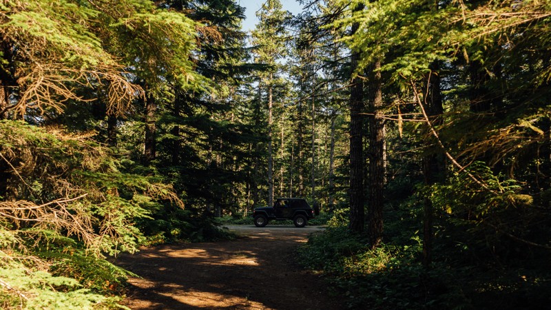
Updated: 06/05/2022
Slab Camp/Deer Ridge Trail
Sequim, Washington
Slab Camp/Deep Ridge Trail is a connecting road that links Slab Camp Road to NF 2878 and leads to two hiking trailheads; Slab Camp Creek, and Deer Ridge Trailhead. Ned Hill These trails total in 17.5 miles of hiking and offer views of the mountain peaks, wildflowers, and river crossings. Ned Hill Trail has an old fire lookout as well, but it is not suited for climbing. The Olympic National Forest and Buckhorn Wilderness area have an abundance of forest roads, hiking trailheads, and campsites. It encompasses 258 acres of land and is the largest Wilderness Area of the Olympic National Forest. The terrain can be quite steep, ranging from 1,000 feet near the Gray Wolf River to the summit of Mt. Fricaba, at an elevation of 7,134 feet. Subalpine fir and western white pine are present at a higher elevation, and Douglas-fir, western hemlock, and red cedar grow on the lower slopes. The Gray Wolf, Dungeness, and Big Quilcene Rivers flow through the Wilderness, along with several smaller streams.
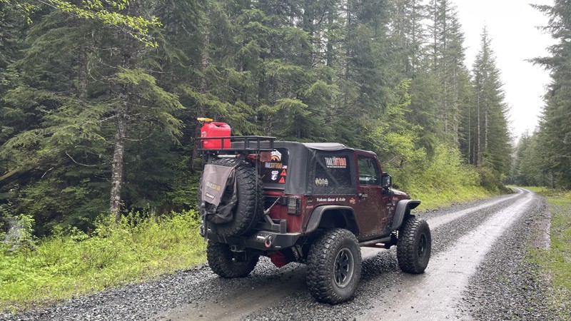
Updated: 10/15/2024
FS 85
Ashford, Washington
In the Gifford Pinchot National Forest near Ashford, WA, FS 85 starts as a well-traveled track through lush old-growth forest and travels 22.5 miles to over 4400 feet. This is a significant logging road, so please watch for any logging activity. The first part of the road is paved, but no maintenance has been done since an earthquake in 1995, so the road heaves and pitches in spots. The trail turns to gravel and is very well maintained. About nine miles in, the road becomes more primitive, with a few partial washouts that have been marginally repaired. A 4x4 vehicle is required. Once at the top, the road winds into a beautiful valley and intersects with FS-47. No significant camping areas are directly on this road, but many connecting roads undoubtedly lead to fantastic views, providing excellent camping opportunities. You can expect snow in the upper elevations past 3600 feet in the late fall and early summer, stretching well into July.
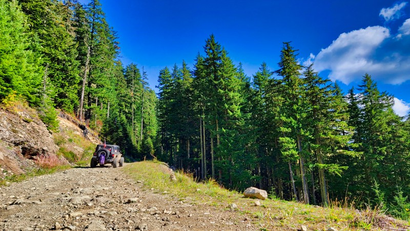
Updated: 10/22/2025
High Rock
Ashford, Washington
High Rock, FS 8440, located in the Gifford Pinchot National Forest a few miles south of Ashford, Washington, takes you to two popular hiking trails, High Rock #266 and Greenwood Lake #253. These top-rated hiking trails climb to even higher elevations. This straight-through road connects FS-85 and FS-84, climbing through lush old-growth forests to its highest elevation of 4308 feet, with beautiful views of the surrounding peaks and valleys below. At the top of the climb is a large parking area with stunning views of the cascades to the east.
There is one camping spot about two miles in on the road, but many side roads offer different camping areas.
The road has water runoff damage, but the effects are minimal with a 4x4 high-clearance vehicle.
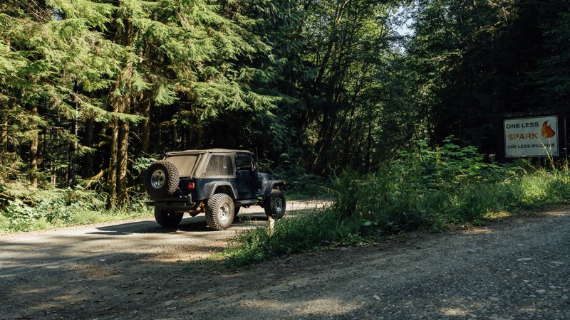
Updated: 06/23/2024
Slab Camp Road
Sequim, Washington
The Olympic National Forest and Buckhorn Wilderness area have an abundance of forest roads, hiking trailheads, and campsites. It encompasses 258 acres of land and is the largest Wilderness Area of the Olympic National Forest. The terrain can be quite steep, ranging from 1,000 feet near the Gray Wolf River to the summit of Mt. Fricaba, at an elevation of 7,134 feet. Slab Camp Road is a connecting road that brings you away from Highway 101 deeper into the northwest portion of the Olympic National Forest and also give you access to the Buckhorn Wilderness area, This is a great road to use as a gateway into this incredible area.
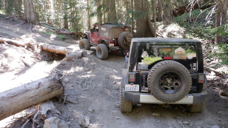
Updated: 06/15/2024
Lilly Pond
Cliffdell, Washington
Lilly Pond, such a quaint name with images of quiet beauty and calm serene surroundings. Don't be fooled, this trail does go to Lilly Pond, where you can find that for sure, but getting there will have your senses on fire while you look out for the next stump searching for fenders or the hill climb that's just around the corner. Lilly Pond trail is located in the Okanogan - Wenatchee National Forest and is part of the Manastash Ridge ORV area. Considered a connector-type trail, Lilly Pond has a flavor all her own. With tight and twisting corners through narrow off-camber areas to hill climbs that will have you holding your breath to the top. In the early spring and late fall when the rains show up this trail will be a force to be reconned with.
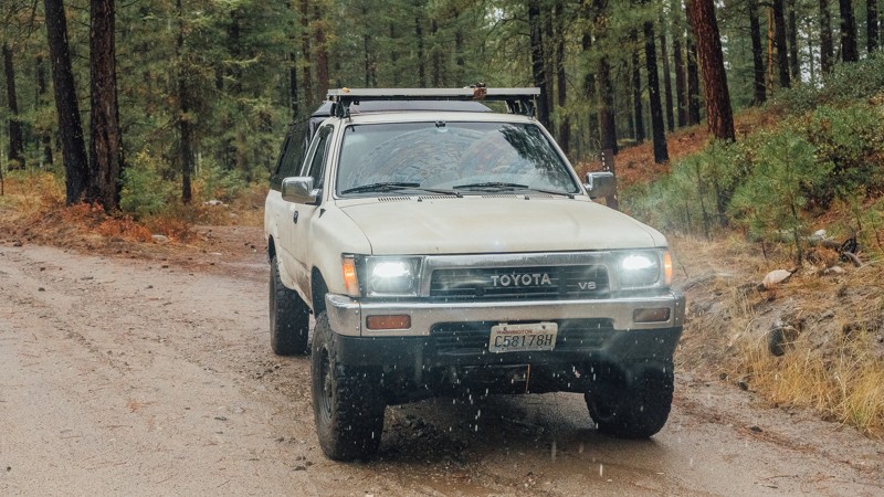
Updated: 06/08/2024
West Chiliwist Road
Twisp, Washington
West Chiliwist is a relaxing drive through the lightly treed woods, just east of the Okanogan-Wenatchee National Forest. Beginning 20 miles east of Twisp, Washington, and 50 miles north of Chelan, Washington, this trail is a smooth drive with the occasional puddle to splash through. An easy drive, it’s a good addition to an amazing overlanding journey or a lax day trip.
This trail is part of the Washington Cascade Overland Route. Visit Overlanding Across Washington for more information, including which trails to take next.
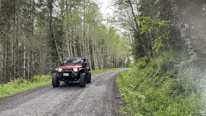
Updated: 10/15/2024
9-Road
National, Washington
9-Road in the Elbe OHV Recreation area travels from the main parking area up to a dead-end play area for off-road vehicles. 9-Road provides access to all the marked 4x4 trails for the Elbe. There is a camping area about halfway up on the right with spaces large enough for full-size RV camping, but tents are also welcome. There are vault toilets, and each campsite has a fire pit.
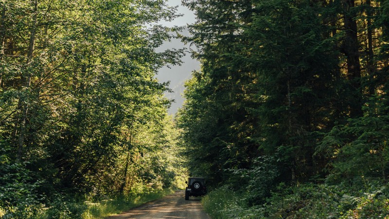
Updated: 06/05/2022
NF-2878
Sequim, Washington
NF-2878 is a connecting road that links Slab Camp Road to NF-2875, and leads to three hiking trailheads; Ned Hill, Slab Camp Creek, and Deer Ridge Trailhead.
These trails total in 17.5 miles of hiking and offer views of the mountain peaks, wildflowers, and river crossings. Ned Hill Trail has an old fire lookout as well, but it is not suited for climbing. The Olympic National Forest and Buckhorn Wilderness area have many more forest roads, hiking trailheads, and campsites, that are accessible through other connecting roads.
Updated: 10/15/2024
Beacon Ridge Road
Renslow, Washington
Beacon Road is a fun little rough road that starts in the Wild Horse Wind Farm in Central Washington. You'll start by driving through the wind farm near the wind turbines, which are quite impressive when you get up close. The road to each turbine is gated off, so stick to the main Beacon Road trail. As you exit the Wind Farm facility, you'll enter the Quilomene Wildlife area. Views on this road are a gorgeous mix of the best Central Washington can offer. You can expect wide expanses of open areas followed by a fun drive through trees.
On a dry day, this road offers no real complications other than occasional rough road and ruts, suitable for any vehicle with medium to high clearance, but could be run in 2wd. With rain and/or snow, this may become a very difficult or impassible route, depending on your vehicle's capabilities. There are multiple pre-existing campsite areas along the trail, many of them large enough for decently sized groups and almost all of them well spread out for privacy.
Please note that this trail is listed as Beacon Road on the local signs, but it goes by several names depending on the map source. Examples include Quilomene Ridge Road, Beacon Ridge Road, Park Creek Road, and Caribou Road.
Green Dot Roads are a collaboration between DNR, the Washington Department of Fish and Wildlife, and private landowners to provide opportunities for dispersed recreation such as camping, hunting, off-road vehicle riding, and wildlife viewing. You can find current mappings that will include seasonal and other closures at https://wdfw.wa.gov/about/wdfw-lands/green-dot. A Discover Pass is required for portions of DRN land that are included in Green Dot road maps.
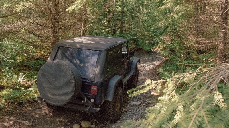
Updated: 03/12/2026
Around the Sound
Mount Vernon, Washington
Named for a local Jeep club, Around the Sound is a light, relaxing stroll through the park, with a small rock obstacle, as well as the potential for mud. If you’re already in the park and want to keep wheeling, but need a break from the nearby, harder trails, Around the Sound will be a great addition to your day romping about in the woods. Walker Valley ORV is comprised of 3,200 acres, with twelve 4X4 trails, and several more ATV and dirt bike trails. The trails offer many challenges like rocks, roots, and ruts. These obstacles will change from season to season, with the addition of snow and rain, which can also produce large puddles and muddy stretches. From the mild to wild, Walker Valley ORV provides something for everyone.
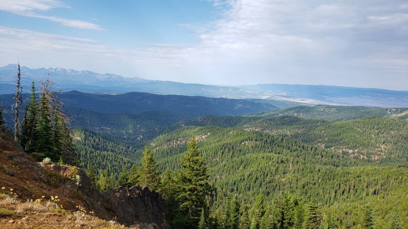
Updated: 07/15/2024
Frost Mountain
Ellensburg, Washington
Frost Mountain is a short trail in the Okanogan-Wenatchee National Forest. This area is well known for offroading and camping most of the year. Frost Mountain leads to a wonderful lookout at the top of the mountain. There is a walking trail at the end of the trail that continues on the ridge and begs for exploration. The best part about this trail has to be the views. At several points on this trail, you get to a lookout over the valley and take in the beauty of your surroundings. At the end of the trail, you sit on top of the mountain, looking over both sides. On a clear day, you can see more of the Cascade mountain range all the way into Canada, 160 miles away. The rolling hills below, flowing trees, and thriving wilderness make this the perfect place to feel on top of the world.
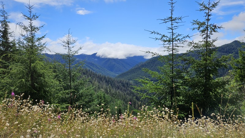
Updated: 02/10/2025
Sitkum Sol Duc Road
Forks, Washington
Sitkum Sol Duc Road (FS 29) has to have an amazing history. One agency has it listed as a paved road, and parts of it still are; you can even see sections where it was wide enough for 2 lanes, including the paint lines, but it's definitely fallen into disrepair due to heavy rains in the past few years. Overall, the road is in good condition, gravel for most with sections of old pavement, but the pavement is showing its age and has lost quite a bit of the base and subbase layers leaving the shoulders prone to cracking under weight.
FS29 starts near Forks and *would* take you all the way up to Highway 101 if it went all the way through. You'll start down in the rainforest with mossy trees and deep shade, continuing up until you're traversing a ridgeline with open sky and gorgeous views of the National Forest off to the side. It continues back down on the north side of the mountains but, unfortunately, has experienced some severe washout sections that are impassable down near the intersection with Bonidu Peak road. There's no way out of this portion of the road currently, so your only choice is to retrace your path all the way back out by Forks, or you can take Hole in the Wall/Hunger Repeater Road or Sitkum Sol Duc Connector to their exits further north. Camping areas are basically non-existent save for one section near the intersection of Sitkum Sol Duc Connector, but it would be difficult to stay there without impeding traffic in some way, so be courteous and plan accordingly on this road.
The Olympic National Forest has plans and a budget for repairs to FS29 and expects them to occur during the summer of 2025. Nine planned areas of repair are involved, so blockages and construction should be expected throughout that summer, with a full reopening slated for late fall.
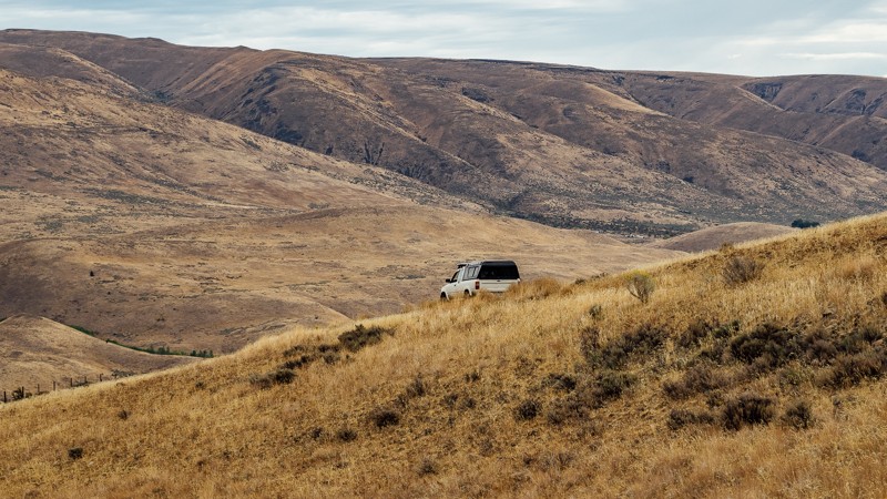
Updated: 09/09/2023
Newlands Road
Naches, Washington
Newlands Road begins at the end of Jones Road, on the northeast edge of the Wenas Wildlife Area. At the trailhead, you can also find dispersed camping. As you travel back into the Wildlife Area, you will encounter a gate. There will continue to be small patches of trees early in the trail, but they’ll continue to thin out afterward until they all but disappear. For the next two miles, the scenery will be mostly brush and bushes, as well as a long fence.
There is little elevation change, as the route runs along a valley. During this time, you can see Cleman Mountain behind you, as well as what lies ahead; Umtanum Ridge. The trees return as you cross Wenas Creek, allowing for more and better dispersed camping. Once you reach the end, you’ll arrive at North Wenas Road. From there, you’ll want to turn right to head to Naches for fuel and supplies, or head left toward Wenas, to continue the overland route.
This trail is part of the Washington Cascade Overland Route. Visit Overlanding Across Washington for more information, including which trails to take next.
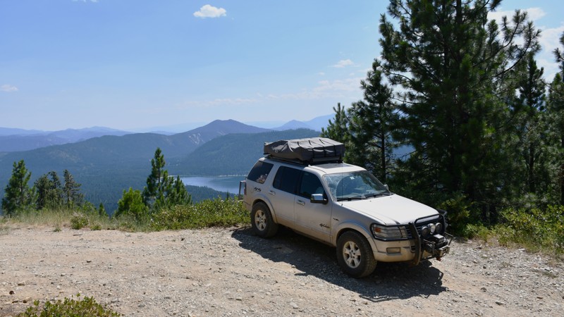
Updated: 09/04/2025
Pole Ridge Road
Telma, Washington
Pole Creek Road is a 6.4-mile trail in the Okanogan Wenatchee National Forest. It is a fun trail with difficult sections and provides great views.
The first part of this trail consists of graded dirt and is relatively easy. The road becomes much more difficult at the intersection of Dirty Pole Road, FR 6305511, but this is where the excellent views begin. The trail becomes quite narrow, with several steep slopes.
There are many excellent views of the lake and the valley in this last section of the trail, and several campsites of various sizes.
Please be advised that the end of the road is the end of the gpx file for this road. The road is shown to continue on various maps, but in reality, it is extremely overgrown and is only passable for 100 feet before it dead ends, with little room to turn around. Also, maps may show a road down the ridge towards the lake, but this road is on private property and has several no-trespassing signs, so it should not be entered.
Overall, this is a fun trail, with excellent views and somewhat difficult obstacles to make it interesting. This trail is great for people who want to experience beautiful sightseeing locations, explore more technical terrain, or want to find a quiet campground near great views.
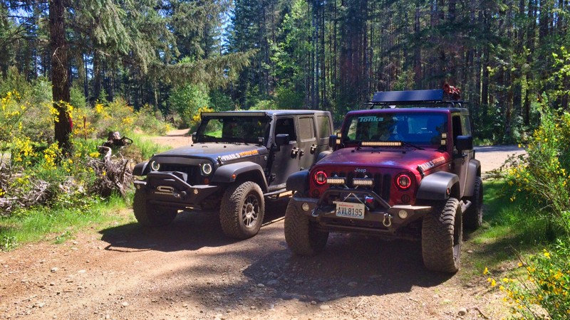
Updated: 10/29/2025
Tahuya / Access Road / G-2000
Sunbeach, Washington
This easy access road starts at Elfendahl Pass Road. The gate at Elfendahl Pass Road is normally locked but can be accessed for recoveries if needed by the Forest Service. This a smooth gravel Forest Service type road that connects with "Tahuya-Trail 55", "Tahuya-84-S" and "Tahuya - SouthLoop". There is no camping inside the ORV area but there are three camping areas surrounding the park. One at the Elfendahl Pass Road park entrance. One on "Goat Ranch Road", and the third called "Tahuya River Horse Camp", located just at the end of "Goat Ranch Road".
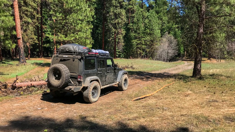
Updated: 06/05/2022
Rattlesnake Spring
Nile, Washington
This area at the foothills of the central cascades is one of the best places in Washington to really experience the outdoors. Aside from four-wheeling, this area is popular for camping, bird watching, hiking, horseback riding, off-road vehicle riding, mountain biking, snowmobiling, hunting, and general sightseeing. Because this area gets less rain than its western counterpart and has occasional forest fires, there are lots of trails and camping opportunities as a result of the relatively brushless and open nature of this forest. This short but impressive trail takes drivers down through the forest to a beautiful meadow and Rattlesnake Spring. It then follows Rattlesnake Creek [River] and loops back up to the starting point. You can expect some mud, rocks, and ruts as the trail winds smoothly through the forest.
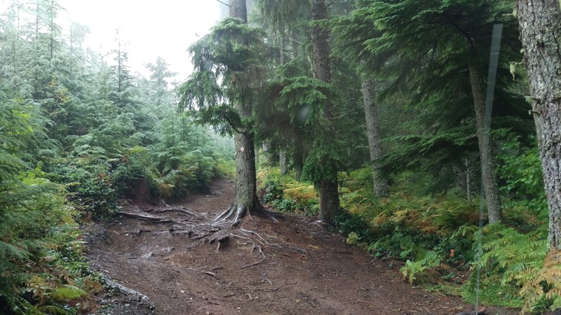
Updated: 09/15/2022
Elbe Hills OHV - Mainline Extension Trail
Elbe, Washington
Mainline Extension is a relatively easy trail with the exception being if there is snow on the ground. The route you choose for this trail can best be determined by the level of experience in your group. Running it downhill is great for the novice and running it uphill proves to be a challenge for the intermediate driver. Any level of vehicle can navigate this trail with the proper selection of lines. Another great trail in the Elbe system for anyone looking to hone their skills.
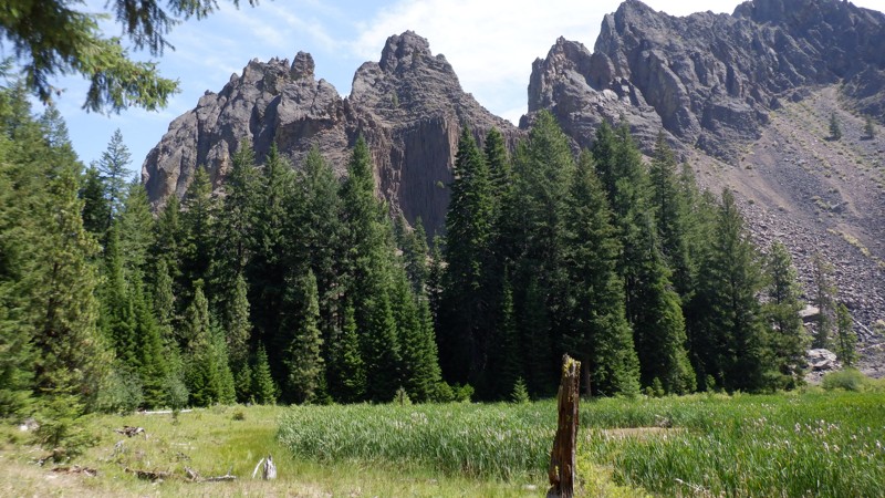
Updated: 05/15/2024
Shorty
Naches, Washington
The Rimrock Recreation Area holds the most 4x4 trails available in one area in Washington State. Without counting there are at least 30-40 trails to explore. Some are easier but most of these trails will be for more built rigs with at least a 2-inch lift and larger more aggressive tires. The trail called "Shorty" is short but don't let this deceive you, this trail can be quite a challenge especially in the spring when melting snow tops off the mudholes and in the fall when the seasonal rains start in. The soil in this area is clay and when it is wet it is very slippery and will clog all-terrain tires rendering them useless slicks. Aggressive mud-terrain tires will be what's needed and even then, you'll be winching for sure. In the Summer months, this trail is fairly easy but might be a bit too difficult for stock vehicles. The views of the surrounding cliffs are amazing and are a great incentive for surviving the mud, twists, and turns that make this trail a real challenge.
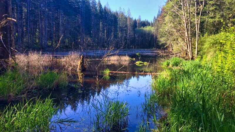
Updated: 06/04/2026
Tahuya / Access Road / Goat Ranch Road W
Sunbeach, Washington
Goat Ranch Road W is a well-maintained forest service access road that will take you to Oak Patch Lake, 4x4 Access Point, Camp Spillman Campground, and Tahuya River Horse Camp. Tahuya River Horse Camp is open for camping on weekends only, from Memorial Day weekend through Labor Day. The trail dead-ends at a stagnant lake.
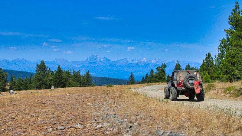
Updated: 05/29/2025
Hutchins Road
Cliffdell, Washington
Hutchins Road in Washington State is a picturesque thoroughfare that begins in the charming town of Ellensburg and winds its way through the stunning landscape of Kittitas County. The road is well-maintained until you enter the Murray Wildlife Area. Take it slow and steady through this rocky section. In the early spring months, this section of the road will probably be a muddy mess. This scenic road provides easy access to the Manastash Recreation Area, making it a popular route for outdoor enthusiasts and nature lovers. The road starts at a gate for the Murray Wildlife Area and is only open from May 1st - December 14th. As Hutchins Road continues on its journey, it eventually crosses into the Okanogan Wenatchee National Forest and connects with Mastash Road/FS-31, offering a seamless transition for those looking to explore the natural beauty and recreational opportunities that abound in this region. With its convenient access and breathtaking surroundings, Hutchins Road is a must-visit destination for anyone seeking adventure and tranquility in the heart of Washington State.
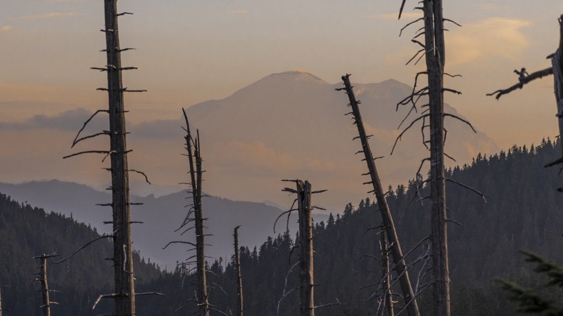
Updated: 10/01/2024
Green Pass/Naches Tie
Greenwater, Washington
Green Pass/Naches Tie connects several important trails in the Stampede Pass Overland Route and ties into the Naches Trail while providing stunning views of Mt. Rainier. This section of the Mt. Baker-Snoqualmie National Forest has many camping opportunities and connects Plum Creek Road and Green Divide (South) to complete the overland experience of Stampede Pass.
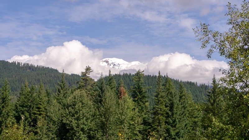
Updated: 04/17/2024
NF-8821
Trout Lake, Washington
After departing from NF-024 Connector, you can continue on with NF-8821. It’s a little over 5 miles, so it’ll be longer than most of the recent trails. Early on in the trail, the path is still sandy, but it begins to transition to dirt and gravel once more, with some potholes present too. Waypoint 3 brings you to Trail 35, which is open to hikers, bikers, equestrian riders, and OHV use. It follows a 1 mile decommissioned road until entering Deadhorse Meadow and continues to Smoky and Little Goose Creek before ending on Trail 26. This hiking trail and many others in the region were developed in the late 1800s by sheepherders and followed existing Native American trails. They traveled from eastern Oregon to graze their sheep on these summer ranges. Once you reach the end of this trail, you’ll to turn right onto NF-88; a paved road that will take you to the start of the next trail, NF-8810, or continue further on to the town of Trout Lake, for fuel and supplies.
This trail is part of the Washington Cascade Overland Route. Visit Overlanding Across Washington for more information, including which trails to take next.
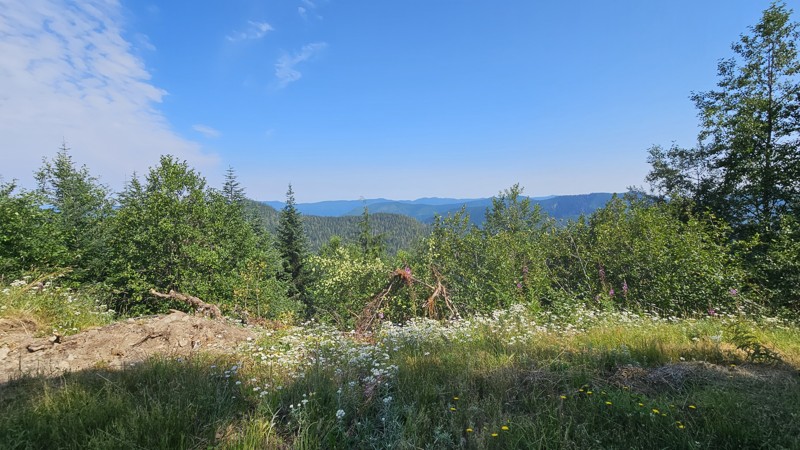
Updated: 10/15/2024
Hole in the Wall/Hunger Repeater Road
Sappho, Washington
Hole in the Wall connects Cooper Ranch Road with FS29 and gives you a great little beginner drive with some lovely views as you get closer to FS29 and start to run along the ridgeline there. The road is comprised mostly of gravel and mixed with potholes, with rough spots where it's loose and presents traction issues. You may wish for 4WD and at least a little bit of clearance for rocks on this drive.
There are some pretty mountain and forest views as you proceed up the road, alternating sides of the ridgeline so your driver and passengers get views throughout the drive. Dispersed camping consists of a few closed-down road spurs that are large enough to pull off for a night of camping if needed.
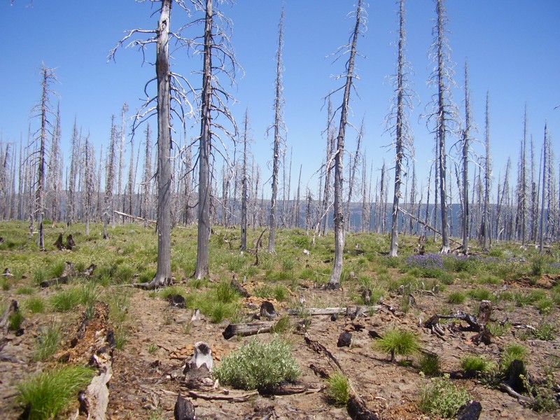
Updated: 07/15/2024
Ragan Way
Ellensburg, Washington
Ragan Way is one of the off-road trails that shows the ferocity of the wildfires that ravaged the Liberty area in the summer of 2012, burning over 42,000 acres of the 259,000 acres that burned that summer. The Table Mountain fire was one of the worst fires this area has seen since the Great Fire of 1910. Sitting high atop the western-most ridge of the very scenic Table Mountain, this trail is a great scenic connector from the northern entrance to the FS roads that access the southern side trails, to include leading you to the preferred route (west) on Crystal Ridge Trail.
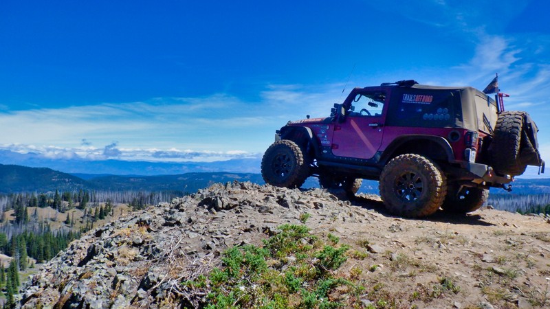
Updated: 06/15/2024
String
Cliffdell, Washington
The String Trail is located in the Okanogan - Wenatchee National Forest and is part of the Manastash Ridge ORV area. The trail is an exercise in hill climbing and rises up 600 ft in elevation to the top of the Manastash Ridge connecting with 4W306 (Manastash Ridge) trail at its end. There are a few look-outs to the north and one where you can pose your vehicle on a cliff for that perfect picture postcard to send to all your friends. The trail climbs steadily through a burnt forest that is in the process of recovery and makes for some very different but beautiful scenery. This trail is a bit more difficult than most in the Manastash Ridge area so be ready for some tight twisting trail with some serious hill climbing. String Trail rewards the intrepid with some beautiful mountain views along the way.
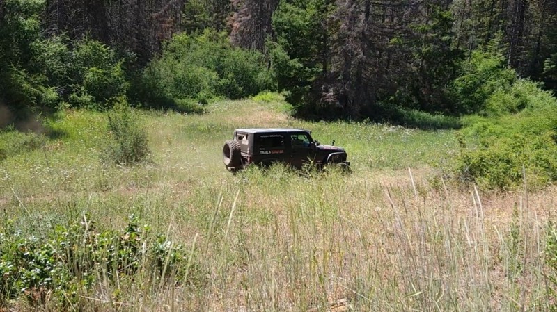
Updated: 12/01/2023
Wildcat Gulch
Liberty, Washington
This trail is in the Okanogan-Wenatchee National Forest, which in its self is beautiful. While any forest road will give you amazing views of the valley below or the abundance of wildlife in the area, the real treat comes when you get off-road on any of the designated trails. Here you will climb to higher places and see even more breathtaking views, all while enjoying the challenge of going off the beaten path. In the early morning, you can hear songbirds sing or see the chipmunks playing on the ground as they run through down trees and foliage. During the day, you might see a blacktail deer or buck standing tall in the field watching you as you pass by. The possibilities are endless. This trail features a beautiful meadow where you can stop and have lunch or let the dogs out. Take a moment and enjoy nature's beauty in the silence.
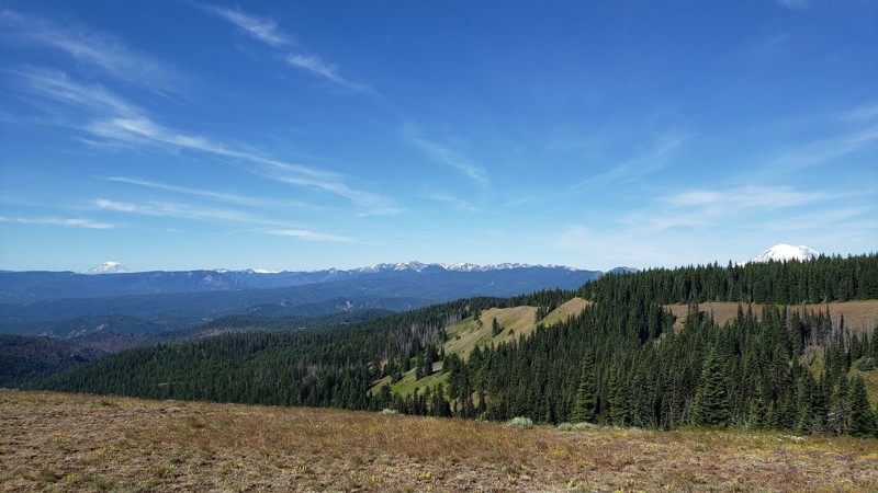
Updated: 07/15/2024
CJR’s Hideout
Cliffdell, Washington
CJR’s Hideout is a trail in the Okanogan - Wenatchee National Forest with a wide array of off-road adventures spanning from easy to difficult. CJR’s Hideout has many gorgeous views of both Mt. Rainer and Mt. Adams along with picturesque views of the valleys below. This trail takes you across a ridgeline with views on both sides before you pass into a beautiful meadow filled with wildflowers during the spring and early summer. A small stream runs across the road and into the meadows. Once you enter the old-growth forest, you will be surrounded by Pacific Northwest beauty. This trail is a great introduction to wheeling in the Okanogan - Wenatchee National Forest with several trails branching off, offering a number of options to continue exploring.
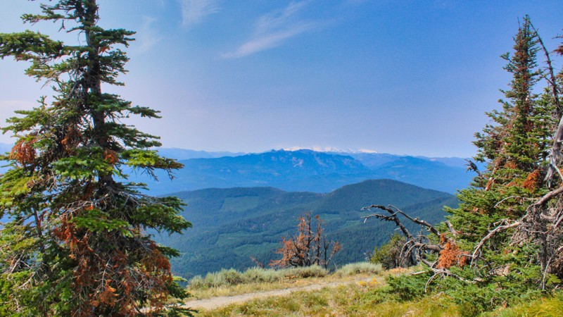
Updated: 10/15/2024
Manastash Road
Wenas, Washington
Manastash Road, known as FS-31, located in the Okanogan-Wenatche National Forest, stretches gracefully for 18.9 miles, embarking on a journey from the charming town of Ellensburg, Washington, and winding its way west to the majestic Quartz Mountain. Most of the road is well maintained, but in the upper elevation there is no maintenance done, so it gets a bit rocky and uneven. Along this scenic route, adventure beckons with easy access to the renowned Manastash 4x4 trails, where rugged terrain meets the thrill of off-road exploration. This route allows easy access to the Moon Rocks and the playful Funny Rocks play area, where you can test your rig on some technical Rock-crawling. Manastash Road is a gateway to endless possibilities, where the beauty of the Pacific Northwest unfolds in all its splendor.
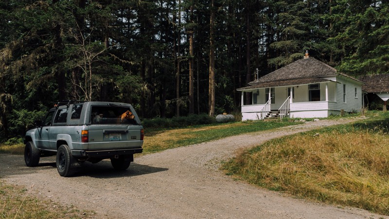
Updated: 11/01/2023
Louella Cabin Road
Blyn, Washington
Louella Cabin is a brief and relaxing drive and private getaway. The cabin was built in 1912 by E. M. Cheney, who named it after his wife, Louella. The cabin, as well as the nearby Civilian Conservation Corps (CCC) camp, were used over the years to house a fireguard, and by CCC personnel as they worked to build fire lookouts, trails, bridges, and roads in the area. Located in the Buckhorn Wilderness area of the Olympic National Forest, it’s an easy to get to weekend escape, suitable for anyone.
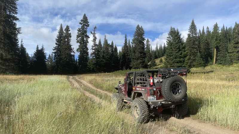
Updated: 10/15/2024
FS-1721-1722
Pinecliff, Washington
FS-1721 / 1722 starts at Rock Creek Road and takes you deeper into the Manastash ORV area ending and intersecting with "CJR's Hideout". The road winds along ridge tops with fanastic views of the Naches Valley below. The road intersects with "Gold Creek Road / FS-1702". After the intersection, the road turns right/north and becomes a moderate 4x4 trail complete with tight turns and rocky hill climbs that, if wet, might make for difficult climbing. Please use caution and have a rig capable of the terrain.
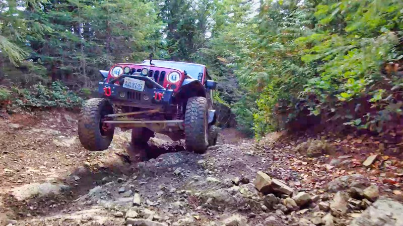
Updated: 04/01/2024
Evans Creek / Trail #196
Wilkeson, Washington
Located in the Mt. Baker / Snoqualmie National Forest and part of the Evans Creek ORV. Trail #196 is one of a dozen trails designated for 4x4 use for over 45 miles of trail riding. Trails are well marked and even rated from easy to most complex. This trail challenges the driver and vehicle with demanding, rocky hill climbs. The trail climbs up to 4000 feet in elevation, connects with Trail #197 and Trail #198, and gives you access to Trail #520. After the hill climbs, the trail levels out and takes you through beautiful old-growth timber. The spring flowers are something to behold.
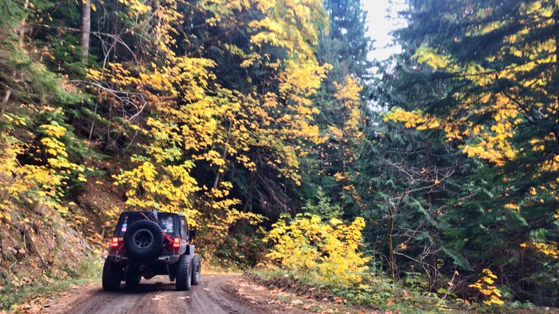
Updated: 10/15/2024
FS 63
Cora, Washington
In the Gifford Pinchot National Forest just outside Packwood, WA, FS 63 is a well-maintained forest service road that climbs up and around Purcell Mountain to over 4500 feet. The road travels through beautiful groves of old-growth forest with a mix of hardwoods, and if you are lucky enough to be traveling in the Fall, the yellow leaves contrast with the darker evergreen trees. There are beautiful views of Mt. Adams to the south and Mt. Rainier looking north, as well as a vast view for miles to the west that seems to go on forever. The road connects with FS 47 after a beautiful 15-mile drive down the other side of the mountain. An excellent connector road would be onto FS 85 for a 22-mile drive to Ashford, WA, and the Mt. Rainier National Park entrance on U.S. 706.
While no camping spots are close to the road, many side roads look to lead to fantastic views with better camping opportunities.
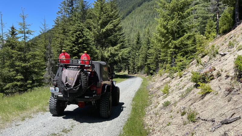
Updated: 10/15/2024
FS 2612
Cispus, Washington
FS 2612 is a secondary Forest Service road that follows a ridgeline through some old-growth forest. Located off FS 26 at the snow gate, it travels 3.2 miles and ends at a nice camping area. The last mile of the road does get a bit primitive, and overhanging branches could damage the paint on your vehicle. A turn-off on FS 2612027 about 1.5 miles from the start leads to the Green River Horse Camp. There are 5 or 6 camping spots with concrete picnic tables, fire rings, and a vault toilet.
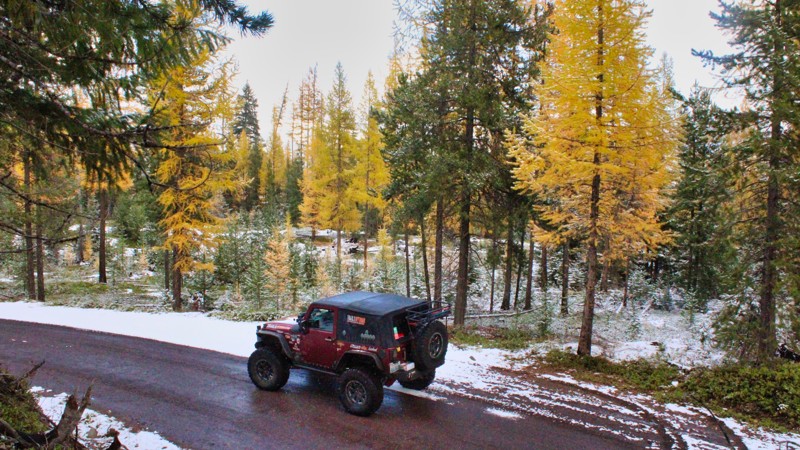
Updated: 10/15/2024
Swamp Creek
American River, Washington
Swamp Creek, FS 1709, begins on the south side of US Highway 410, close to FS 19. The trail runs 13 miles through the Wenatchee National Forest, climbing to an elevation of 4600 feet. The road passes Halfway Flat Campground and crosses Bumping River on a small one-lane bridge. The trail connects with FS-1600, which goes straight to Clover Springs Campground or left down into the Nile Creek Valley, where there was a huge forest fire in the summer of 2021. There are many dispersed camping opportunities and overlooks with great views of the surrounding peaks and valleys.
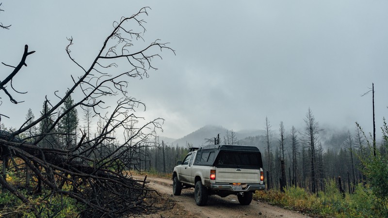
Updated: 06/05/2022
Upper South Fork Gold Creek Road
Methow, Washington
This trail has no wrong turns; which is easy since there are no turns. Upper South Fork Gold Creek is a lonely road, offering little more than some dispersed camping, and linking other trails in and out of the forest. But, having no turns to watch for over several miles makes this trail nice and easy, allowing you to enjoy being out in the wilderness. Many trails in Okanogan-Wenatchee National Forest have been ravaged by fires, and this area is no different. It’s hard to say which fire affected this trail, as so many have happened over the years, and they tend to overlap one another. Located 21 miles north-west of Chelan, Washington, and 10 miles west of Methow, Washington, this trail may not seem like much, but it helps join other trails into something much bigger, and if nothing else, a relaxing drive by itself.
This trail is part of the Washington Cascade Overland Route. Visit Overlanding Across Washington for more information, including which trails to take next.
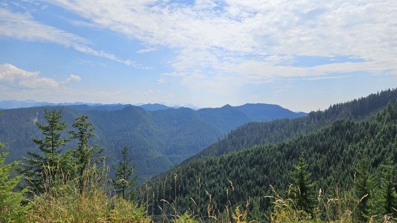
Updated: 10/15/2024
Sitkum Sol Duc Connector
Ovington, Washington
The Sitkum Sol Duc Connector road goes between the Sitkum Sol Duc Road (FS29) and the South Fork Sol Duc Road. Starting at FS29, it traverses a ridgeline for a few miles before cutting over and running along the side of the mountain for a bit. About 4 miles from FS29, there's a severe landslide at the moment with a significant drop down the mountain if you don't make it. Take this section seriously and plan your approach across it. 4WD would be required at a minimum for this, and a narrow vehicle and/or short wheelbase would have an easier time due to the layout of the rocks
Aside from the landslide, the road surface is mostly gravel and in reasonably good condition. Traffic on this route isn't enough to keep the brush at bay, so be prepared for pinstripes or a bit of work with some cutting tools to widen the path enough for your vehicle.
Camping is mostly non-existent on the road, though there are a couple of pull-off spots that might do in a pinch if you're looking for a spot or really like the view.
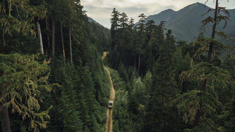
Updated: 08/27/2024
Green Divide (North)
Greenwater, Washington
Green Divide North is an important trail that connects Tacoma Pass to Plum Creek on the Stampede Pass Overland Route (SPOR). Most people only travel a few miles on this trail as part of their overland journey. However, those who choose to explore the entire trail will be rewarded with a narrow yet spectacular drive through old growth in the Mt. Baker-Snoqualmie National Forest. The trail's other half, Green Divide South, is also part of the route and connects travelers to complete the SPOR.
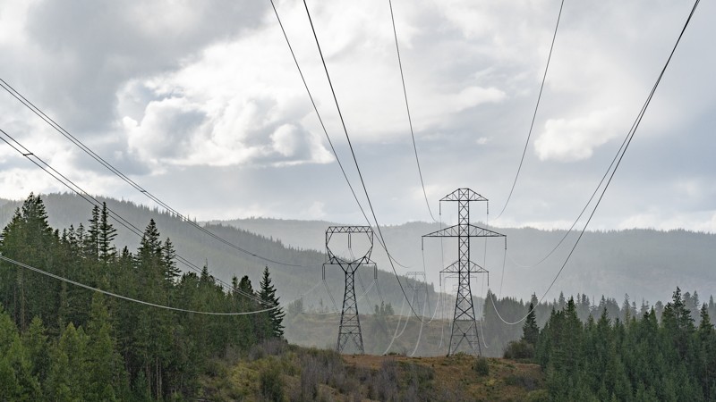
Updated: 06/21/2022
Rothrock Road
Ardenvoir, Washington
Rothrock Road is one of many ridgeline trails in this region of the Okanogan-Wenatchee National Forest. The trailhead begins 12 miles north of Cashmere, Washington, and 10 miles east of Chumstick, Washington. Ridgeline driving is prominent, but overall this is an easy, fun, and beautiful trail for anyone wanting to expand their journey across the forest.
This trail is part of the Washington Cascade Overland Route. Visit Overlanding Across Washington for more information, including which trails to take next.
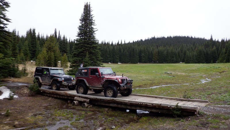
Updated: 06/15/2024
Wells Meadow
Ellensburg, Washington
Situated in the Okanogan - Wenatchee National Forest, the Wells Meadow trail is a prime example of nature in its untouched state. In the spring with flowers blooming and the abundance of wildlife you are sure to find huge meadows laid out before you in their storybook beauty. The meadows here are untouched and a favorite summer retreat for elk and deer birthing their young. The spring flowers abound with their splashes of color throughout the meadows and the streams running through this valley are cold and clear from mountain snow runoff. This trail is surely a place that you won't soon forget if you take the time to stop and just enjoy natures peace.
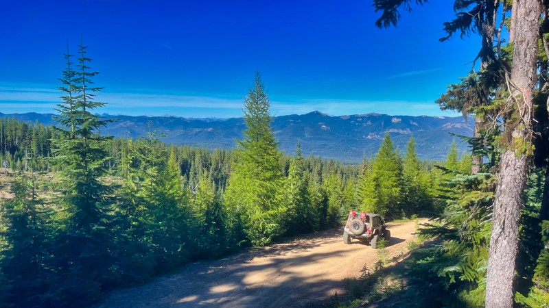
Updated: 08/11/2025
FS-1920
American River, Washington
FS-1920 starts on FS-19 in the Naches valley. The road climbs up 4400 feet with really staggering views of the surrounding valleys. Towards the top, the road becomes secondary and down to one lane. There are many side roads and loads of camping spots along the way.
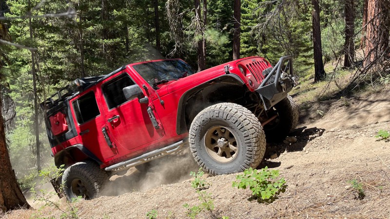
Updated: 07/17/2024
Baker Tie Trail
Liberty, Washington
Are you in the mood for the longest, scariest hill climb in the park? While only 1/2 a mile long, this trail rises 500 feet in elevation! It seems to go on and on, and just when you think you can relax, you make a turn, and it gets even steeper! The root systems and tight turns tend to make you want to slow down, but remember, momentum is your friend on this scary little trail. 4W340 (Baker Tie) is one of many trails located in the Liberty OHV area within the Wenatchee-Okanogan National Forest. Along with a few others, this trail is located on the west side of US Highway 97. These trails are significantly harder than those in the rest of the Liberty OHV on the east side of US Highway 97. These trails on this side of the highway offer a more seasoned driver and vehicle some real challenges and some of the more beautiful views found in the Liberty OHV area.
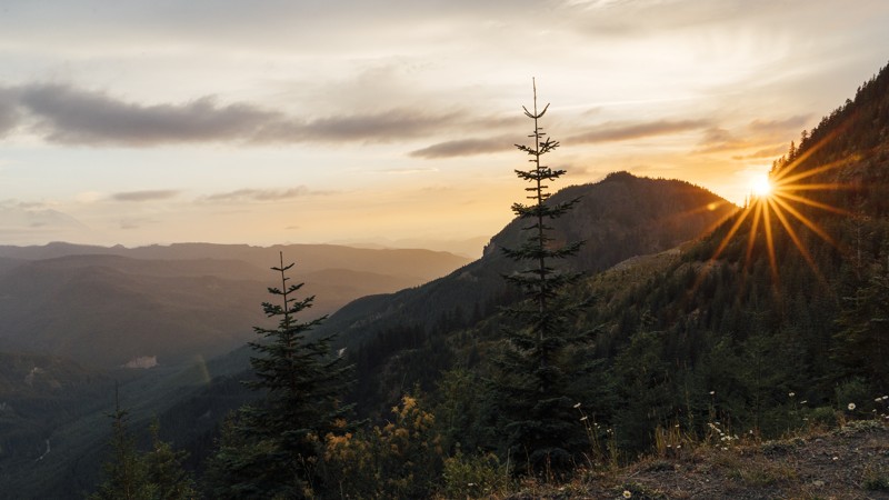
Updated: 08/27/2024
Green Divide (South)
Greenwater, Washington
Green Divide South is part of the famed Stampede Pass Route. Along the way are two hikes: Colquhoun Peak and Pyramid Peak. Colquhoun is a half-mile hike with approximately 500 feet of elevation gain, reaching a peak of 5,144 feet. There, you may find the remnants of the Colquhoun Lookout, which was constructed in the 1930s and removed in 1958. Unfortunately, due to treasure hunters, little remains of the lookout. Pyramid Peak is a 1.5-mile-long hike leading to 5,636 feet elevation. The first mile of the trail is shared with the Pacific Crest Trail, a hiking trail that covers 2,650 miles from Mexico to Canada.
Stampede Pass Route is a 32-mile mountain pass through the Cascade Range, just south of Snoqualmie Pass in Washington. The pass was created to service railroads that traversed the Cascade Mountains. Today, it covers several well-maintained forest roads with ample room and views throughout.
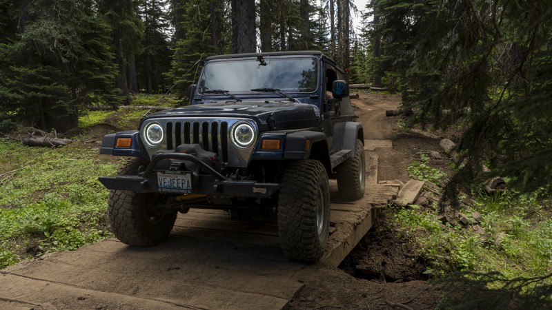
Updated: 06/05/2022
Woodpecker Bypass
Cliffdell, Washington
Woodpecker Bypass is located in the Okanogan-Wenatchee National Forest, approximately 20 miles west of Ellensburg, Washington. This trail is one of several routes and connectors commonly used to access the nearby Moon Rocks. Though it’s primarily used to venture on to other, greater things, fun can still be had crawling through its ruts and traversing the small bridge near the end of the trail.
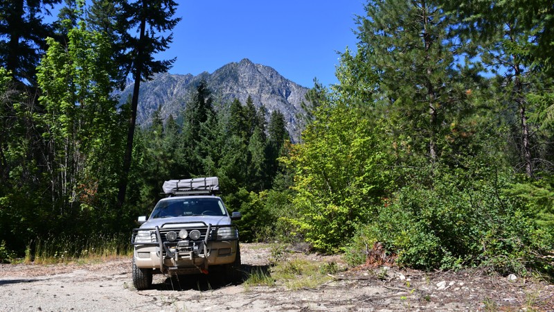
Updated: 10/15/2024
Sears Creek Road
Telma, Washington
Sears Creek Road is a 4.17-mile trail along the White River. The easy trail has plenty of nice views and campsites.
Most of the trail is gravel or graded dirt, with small to medium-sized potholes. In a few areas, streams have flowed over the road, causing ruts in dried mud. One area in the second half of the trail has very deep ruts caused by water flowing down the road, but this area is passable in a stock SUV with minimal ground clearance.
There are excellent views of the mountains rising out of the river valley, and a short walking trail at the end of the road takes you down to the river.
Many short pullouts lead to campsites off of the road. The majority of these sites have fire rings and ample room for parking. There is also a large parking area with several campsites near the river at the end of the road.
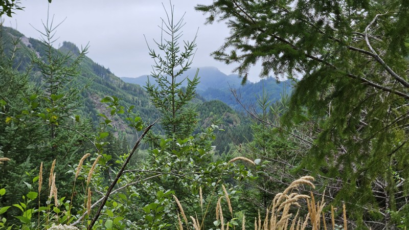
Updated: 05/20/2025
Olympic National Forest 2923
Sappho, Washington
NFDR 2923 is a fairly well-maintained gravel road to traverse from Highway 101 to NFDR 29, a much more interesting path to Forks if you're headed that way! It starts nice and wide, narrowing down a little as you near the peak of the road, but it is traveled enough to keep the foliage mostly back from the sides of the road. Like most of the roads through this portion of Olympic National Forest, you get a very pretty forest drive down in the lower sections and lovely views as you get closer to the top. As may be expected in a rainforest, clouds can often obscure the top, though the sky is gorgeous on a clear night.
There are a few spur roads off to the side as you go up and down, and some of them have small campsite areas, but there isn't much directly on the road. Right at the beginning on the north end, there's a splinter off the road that leads to a flat open area that is pre-disturbed, with a fire ring and a metal table that seems to have been left in place.
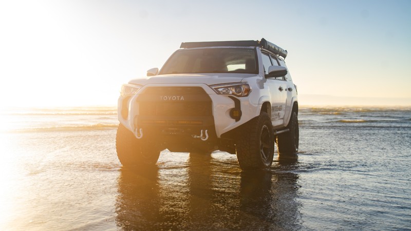
Updated: 11/20/2025
Roosevelt Beach Access
Ocean Grove, Washington
Roosevelt Beach is accessible right off Roosevelt Beach Road, with firm sand near the water that’s easy to drive on. The sand gets much softer as you get closer to the dunes, so it’s best to stick to the packed areas unless you’re prepared for soft sand. Be sure to air down before trekking into the sand.
It’s usually quieter than other nearby beaches, which makes it a nice spot for a peaceful drive. Just south of the entrance is a small airport, and you might catch a plane taking off or landing right on the beach.
Camping and overnight parking aren’t allowed, but restrooms are available right at the entrance. If you’re planning to hang out for a while, keep an eye on the tides, and remember that fires need to be at least 100 feet from the dunes. And if you end up driving through any saltwater, make sure to rinse your undercarriage afterward!
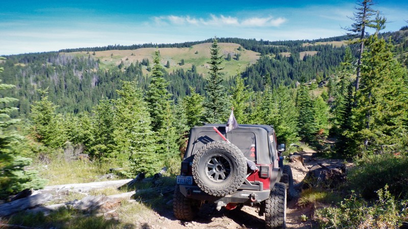
Updated: 06/15/2024
Cattle Camp
Cliffdell, Washington
This area of the Okanagan - Wenatchee National Forest is rich with trails and roads that criss-cross through-out. This trail climbs 1.76 miles and connects with a trail called 4W644 (CJR's Hideout). This trail winds through some stands of pine and ultimately crests at 1650 feet with beautiful views looking back into the Rimrock Recreation Area. There is an old pumice field that the trail travels through from an ancient eruption that shaped these mountains. The trail is fairly easy navigated by any 4x4 vehicle.
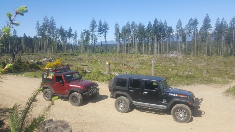
Updated: 09/29/2025
Tahuya / Access Road / G-3000
Sunbeach, Washington
"Service road G-3000 " is a forest service type access road that will give you access to the following 4x4 trails, "55 Trail, 84-S Trail, 84-N Trail, Yellow JacketTrail, and Twin Rocks playground". This road is suitable for all vehicles and is well maintained.
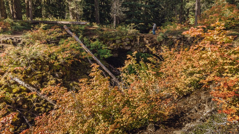
Updated: 08/26/2023
NF-041
Trout Lake, Washington
NF-24-041 is a short, sandy road that links between NF-8620, and the paved NF-24. It also takes you to the Peterson Prairie Campground, and the alluring Natural Bridges. These bridges were formed over 12,000 years ago, by a nearly one-mile long lava flow from Mt Adams. After the tunnels collapsed, some areas stayed intact, creating these bridges where you can overlook the trenches that remain.
The bridges can be reached by walking a short distance from the trailhead, and the total loop is approximately a mile in length. The trail is clearly worn, and thus easy to stay on. It’s not challenging and is one that the whole family can enjoy, though be cautious since there are no railings present near or on the bridges. While the bridges are easily wide enough for safe crossing, the drop below leads to very rocky terrain.
Snowshoeing and cross-country skiing are also popular attractions in this region during the winter months. At the end of the trail, you can turn right on NF-24 to go to Trout Lake and the Guler Ice Caves, or turn left for the Peterson Prairie Campground, and to continue on the Cascade Overland Route.
This trail is part of the Washington Cascade Overland Route. Visit Overlanding Across Washington for more information, including which trails to take next.
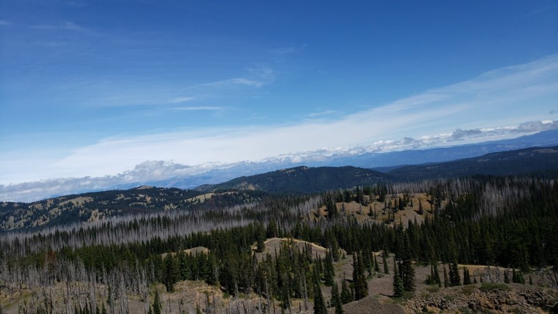
Updated: 06/05/2022
Summit Springs Tie
Ellensburg, Washington
Summit Springs Tie is a trail that time forgot. While it is a bit overgrown, it is a legal and recognized trail by the Forest Service. It is located in the Okanogan-Wenatchee National Forest, which is a popular attraction for off-roading and camping. This trail has some very special views of the surrounding mountains and the valley below. Summit Springs Tie is perfect for beating the summer heat. North Fork Wenas Creek is a great place to cool down at its crossing and an awesome place for a picnic. Even if you are familiar with this area, this trail is one that you might have easily missed. This trail is definitely worth some exploration.
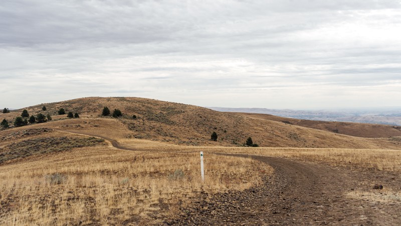
Updated: 10/22/2025
Umtanum Ridge Road
Wenas, Washington
Located in the northern area of the Wenas Wildlife area, 10 miles southwest of Ellensburg, this trail is a rough, non-technical trail winding its way from Ridge Road to Durr Road. Much of the trail is covered in fist-sized rocks, with exposed roots and off-camber ruts. Though not too much of a challenge for most 4X4 vehicles, it will be harsh on your vehicle, especially if you do not air down. The trail offers a nice and unobstructed 360-degree panoramic view of Umtanum Ridge and Wenas Valley and Wildlife Area. This trail is part of the Washington Cascade Overland Route but only offers one campsite along its 5.4-mile length. The campsite is large and open, with no protection from the elements, and no amenities offered.
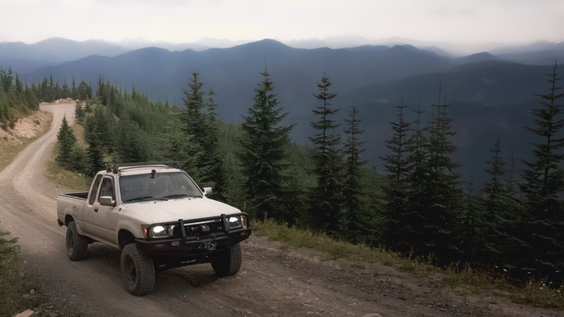
Updated: 08/27/2024
Plum Creek Road
Greenwater, Washington
While you won't find any sugar plums along Plum Creek Road, its short and sweet switchback catapults you to the top of the border between King and Kittitas counties. It's an essential trail in completing the Stampede Pass Overland Route and could challenge drivers with its steep ascent. Unlike the previous Green Divide (North), Plum Creek opens up and shares expansive views of the Mt. Baker-Snoqualmie Forest. But if you take your time and use low range, you'll find a sweet escape above the forest in this part of the Snoqualmie Ranger District.
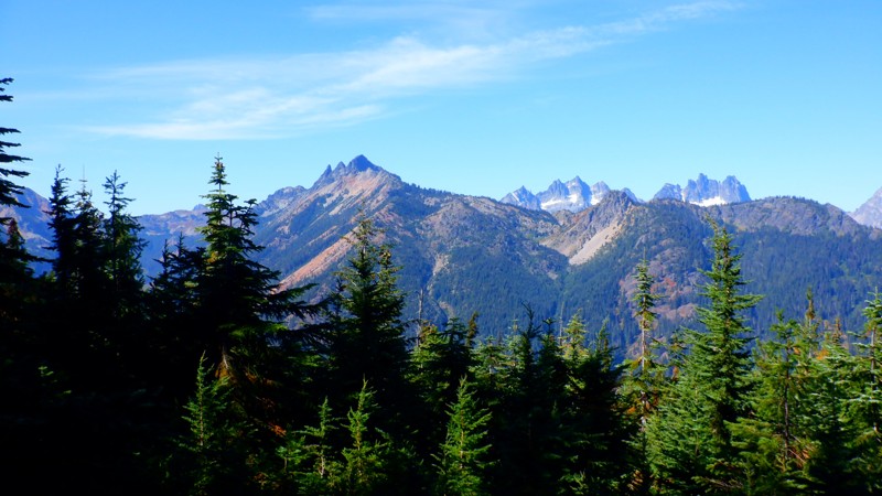
Updated: 10/15/2024
NF-4617-125
Snoqualmie Pass, Washington
NF-4617-125 is a spur trail accessed by NF-4617. This road climbs steadily 3.6 miles to an elevation of 5000 feet. The road ends at a trailhead for "Kachess Ridge #1315," and several camping spots are at the top. At 5000 feet, the views are magnificent in just about any direction.
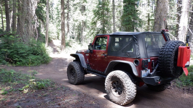
Updated: 05/15/2024
Sleepy Loop
Naches, Washington
The Rimrock Recreation Area holds the most 4x4 trails available in one area in Washington State. Without counting there are at least 30-40 trails to explore. Some are easier but most of these trails will be for more built rigs with at least a 2-inch lift and larger more aggressive tires. The trail called Sleepy Loop is pretty much a good description of what to expect. It is fairly easy and should present no issues to most stock vehicles. There are many other trails that criss-cross this loop trail that are not written that might present some fun obstacles.
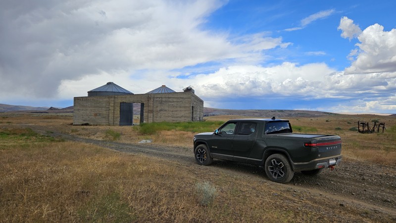
Updated: 10/15/2024
Tekison Creek Trail
Crescent Bar, Washington
Bookended by campsites, Tekison Creek Road is a dead-end connecting road between Little Brushy Creek and Brewton Road, with a seasonally accessible finger leading to the waters of the Columbia River. Along the west end of the trail, at the connection with Brewton, Tekison branches off for another half mile, ending at a rarely used, single-vehicle-mounted tent camping location. An overgrown water crossing in this section is the only difficult part to contend with, though you can easily avoid it and skip this half-mile altogether. The northern half of the road, closest to the water, is closed from October 20th to April 30th to protect local Elk herds. Along the drive, you will see old buildings and machinery in the field that may prove interesting, as well as railroad tracks across the water from a great shoreline campsite that is rather small, only large enough for one or two vehicles and a ground tent.
Green Dot Roads are a collaboration between DNR, the Washington Department of Fish and Wildlife, and private landowners to provide opportunities for dispersed recreation such as camping, hunting, off-road vehicle riding, and wildlife viewing. Green Dot roads are the legal motorized routes and marked with a round green reflector on a white route marker. You can find current mappings that will include seasonal and other closures at https://wdfw.wa.gov/about/wdfw-lands/green-dot. A Discover Pass is required for portions of DRN land that are included in Green Dot road maps.
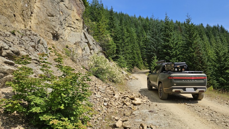
Updated: 12/14/2025
Divide Ridge
Greenwater, Washington
Divide Ridge is a rough dirt road with very little difficulty aside from some tight branches right near the end. You'll have great views of the mountains as you traverse near the ridgeline of the mountain, culminating slightly down in a valley with a secluded campsite with plenty of space for a group of people.
This trail had a few camp spots along the way up, with several potential camping offshoots as well, so finding a spot to stay the night shouldn't take much effort!

Updated: 10/15/2024
North Fork Cispus
Berry Patch, Washington
North Fork Cispus is a forest service road in the Gifford Pinchot National Forest in Washington State. This road provides access to the North Fork of the Cispus River, a scenic area known for its beautiful landscapes, hiking trails, and fishing opportunities. The road winds through dense forests and offers stunning views of the surrounding mountains and valleys. Outdoor enthusiasts often use this road to access the remote wilderness areas for camping, hiking, and wildlife viewing. Many spur roads along this route will provide dispersed camping. The only dispersed camping on this road is toward the trail's end. Three beautiful waterfalls along this route are just magical. North Fork Cispus is a popular destination for nature lovers seeking a peaceful and serene outdoor experience in the Pacific Northwest.
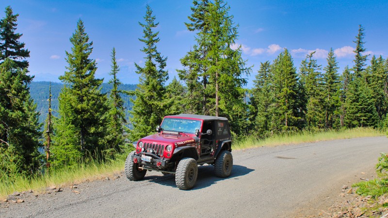
Updated: 10/15/2024
FS-3330
Teanaway, Washington
Forest Service Road 3330 starts on West Taneum Road just outside Ellensburg, Washington, and connects at its upper elevation with Hutchins Road, allowing easy access to the Manastash Recreation area. The road is very well maintained, with only the usual washboard effect in places. This road provides access to various recreational activities such as hiking, fishing, and wildlife viewing. There are also a few camping spots located along the road. FS 3330 offers visitors a chance to immerse themselves in nature and enjoy the tranquility of the forest environment. The road is typically well-marked and offers stunning views of the surrounding landscape, making it a popular destination for outdoor enthusiasts and nature lovers. Whether you're looking for a peaceful drive through the woods or seeking adventure in the great outdoors, Forest Service Road 3330 has something to offer for everyone.
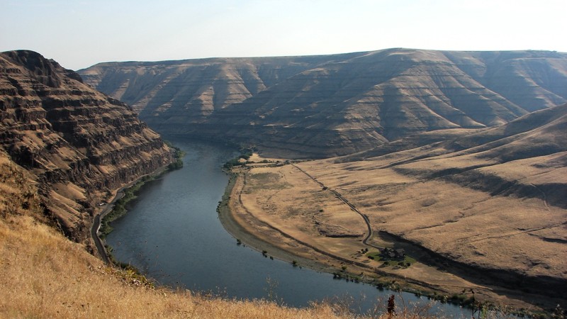
Updated: 06/23/2025
Weissenfels Ridge Road
Asotin, Washington
Weissenfels Ridge Road climbs from the Snake River Road up to Montgomery Ridge Road. It is an easy gravel road suitable for any vehicle. From the Snake River, the road climbs quickly up to the open prairie, above the river and tributary canyons, where it follows the ridge between the Tenmile Creek and the Snake River and tributaries canyons offering spectacular views. Kiesecker Road is a dead end that provides a good view of the upper reaches of the Couse Creek Canyon as it starts to drop from the prairie. Because Wiessenfles Ridge Road is bordered by private property, there are no places to camp
As Weissenfels Ridge Road climbs from the Snake River, it becomes a steep, narrow, shelf road with many twists and blind turns.

Updated: 11/06/2024
Cleman Mountain Ridge Road
Pinecliff, Washington
Cleman Mountain Ridge Road starts as a nice gravel road and takes you from the National Forest into the Fish and Wildlife Green Dot lands. You'll pass through the Wenas wildlife area and a small portion of the Oak Creek wildlife area. Along the trek, the road changes from gravel to dirt to mud to small rocks and will pitch your vehicle up to 20*. You'll follow part of the WABDR route past the peak of Cleman Mountain and the radio towers there while experiencing breathtaking views of the Cascade Mountains out the window. The road is rough but suitable for any high clearance 4WD.
Several campsites are located along the road at various points to give you options in both location and the environment. Still, all are at nearly 4,000 feet or higher, so plan accordingly. The road ends abruptly with a, "No Unauthorized Vehicles" sign, but several offshoot roads provide other options for through traffic while still experiencing this road.
Part of Cleman Mountain Ridge Road runs along Section 2 (Packwood to Ellensburg) of the Washington Backcountry Discovery Route (WABDR), a scenic 575-mile mostly offroad route from the Oregon state line to the Canadian border.
Green Dot Roads are a collaboration between DNR, the Washington Department of Fish and Wildlife, and private landowners to provide opportunities for dispersed recreation such as camping, hunting, off-road vehicle riding, and wildlife viewing. Green Dot roads are the legal motorized routes marked with a round green reflector on a white route marker. You can find current mappings that include seasonal and other closures at https://wdfw.wa.gov/about/wdfw-lands/green-dot. A Discover Pass is required for portions of DRN land included in Green Dot road maps.
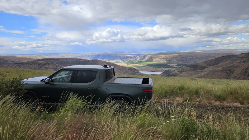
Updated: 10/15/2024
Brewton Road
Wenatchee Heights, Washington
Brewton takes you from Colockum Road down almost to the water, where you meet up with Tekison Creek Road. It's a mixed bag of soft dirt road through a forest, a rocky trail along the side of a ridgeline, and a bushwhacking run through Brewton Gulch. All in all, it's not a difficult drive, though the vegetation along the last 2.5 miles through the gulch will probably give most drivers pause as several points require a choice between rubbing paint or wheels as you navigate the trail toward the water.
While Green Dot roads allow camping within 100' of any established roadway, there were no established locations on this road, and only one or two may have worked in a pinch. Come and enjoy the views and visit with the local bovine neighbors through the forest, but plan on sleeping somewhere else.
Green Dot Roads are a collaboration between DNR, the Washington Department of Fish and Wildlife, and private landowners to provide opportunities for dispersed recreation such as camping, hunting, off-road vehicle riding, and wildlife viewing. Green Dot roads are the legal motorized routes and marked with a round green reflector on a white route marker. You can find current mappings that will include seasonal and other closures at https://wdfw.wa.gov/about/wdfw-lands/green-dot. A Discover Pass is required for portions of DRN land that are included in Green Dot road maps.
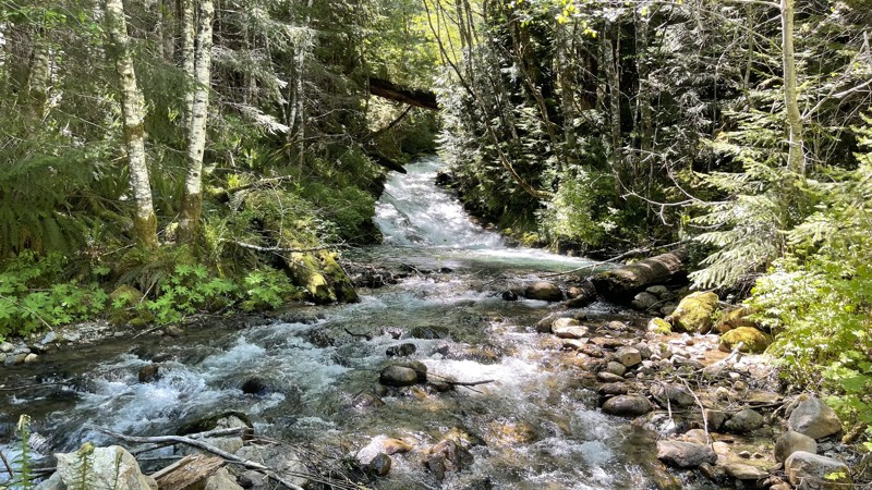
Updated: 10/15/2024
FS 2608
Cispus, Washington
FS 2608 travels 1.3 miles back into a small valley. It crosses "Quartz creek" where there is a fantastic campsite along the bridge. There is also a Jeep trail called FS-26081109 located on the left close to that bridge. This little road is located about 9 miles up FS 26 on the left. The road continues past the jeep trail and makes a loop with 2-3 campsites.
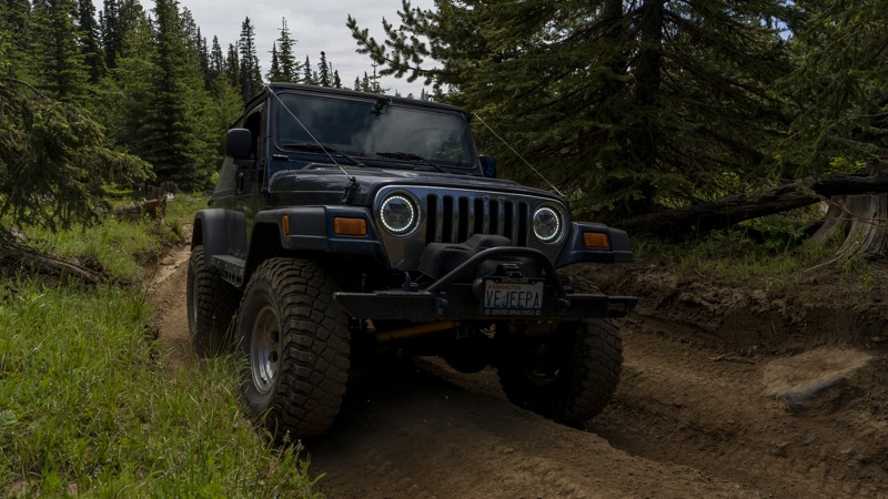
Updated: 06/05/2022
NF-1708-589
Cliffdell, Washington
NF-1708-589 is a short trail located in the Okanogan-Wenatchee National Forest, approximately 20 miles west of Ellensburg, Washington. This trail is one of several routes and connectors commonly used to access the nearby Moon Rocks. It’s a relatively easy trail and is a great choice to take on your way to enjoy some more thrilling ones.
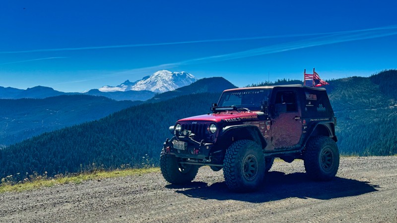
Updated: 10/15/2024
Blowout Creek
Lester, Washington
Blowout Creek, also known as FS Road 1913, offers a scenic journey starting from the top of Stampede Pass and heading east to connect with the Naches Trail and FS 19 in the Naches Valley. As travelers embark on this route, they are treated to breathtaking mountain views of majestic Mount Rainier to the south and the rugged Cascade mountain range to the north. The road winds through dense old-growth forests, where towering trees create a canopy overhead, filtering sunlight and casting dappled shadows on the forest floor. The Pacific Crest Trail crosses this road, so please consider the possibility of encountering hikers in the area. While there is no camping along the way, spur roads lead to secluded spots perfect for dispersed camping, allowing adventurers to immerse themselves in the tranquility of nature while surrounded by the sights and sounds of the wilderness. Traveling along Blowout Creek is a truly immersive experience that showcases the beauty and grandeur of the Pacific Northwest's natural landscapes.
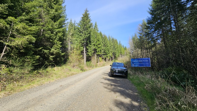
Updated: 03/24/2026
C-Line
Delphi, Washington
C-Line cuts across the middle of Capitol State Forest on a well-maintained gravel road with patches of pavement. Suitable for all vehicles, you'll find forested corridors and expansive views both as you traverse East or West across the forest. The road has several points of interest along the route, bisecting several hiking trails, Waddell Basin West, Greenline, Wedekind, Crestline, and Porter, as well as one sanctioned target shooting pit, and a turn off on C-6000 for a 2-mile drive down to Fall Creek Campground.
Capitol State Forest can have active logging operations, so be sure to pay attention and watch for heavy machinery and trucks while exploring the forest. There is no dispersed camping allowed in Capitol State Forest; the only camping permitted within the forest is in official campgrounds, so please ensure that you have a plan for that if you need a place to stay for the night.
Capitol State Forest is an 11,000-acre forest packed with roads and trails and specific opportunities for recreational purposes. Please see https://www.dnr.wa.gov/Capitol for up-to-date info and closures relating to this location and any restrictions on activities.
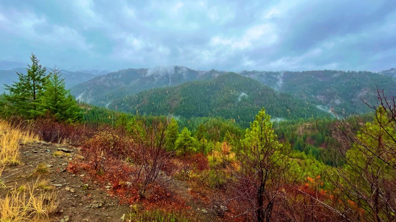
Updated: 10/15/2024
5 Mile Road
Liberty, Washington
5 Mile Road is located in the Wenatchee National Forest off US 97, approximately 30 miles from the I-90 / 970 interchange at Cle Elum Washington. The trail is a 6.5-mile dirt and gravel road with small washes and light ruts. The trail offers amazing views that overlook the old-growth forest that blankets the towering mountainous landscapes, giving the feel of times in the vibrant past and experiencing this region's historic beauty. Several trail-side campsites with fire pits are scattered along this trail, giving ample opportunity to enjoy this area in small groups or on your own.
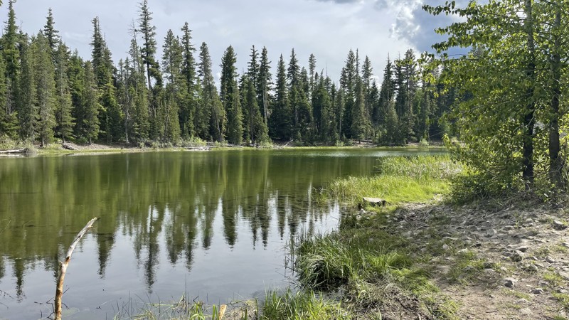
Updated: 10/15/2024
FS-1435 to Bear Lake
Rimrock, Washington
FS-14235 provides access to Bear Lake and two 4x4 trails (4W671 & 4W652). At only 1.7 miles in length, it is just a quick drive to check out, starting 11 miles up on FS-14 / Oak Creek Road. The road is very well maintained, and there is a campground big enough for large groups or could be room for 3-4 shared groups. The lake is beautiful and crystal clear and is fed by springs and snow runoff, so it's very cold throughout the year.

Updated: 11/20/2025
Mocrocks Beach
Moclips, Washington
Mocrocks Beach has a few different access points and offers about three miles of drivable coastline, connecting the small towns of Pacific Beach and Moclips. The packed sand near the water is easy to drive on, but the sand gets much softer as you get closer to the dunes and beachfront homes, so keep in mind that it's easier to get stuck if you're not careful. Be sure to air down before trekking into the sand.
This beach is more popular than others in the area, so expect more foot and vehicle traffic, especially on weekends. Overnight camping isn’t allowed, and fires must be at least 100 feet away from the dunes.
If you end up driving through any saltwater, make sure to rinse your undercarriage afterward!
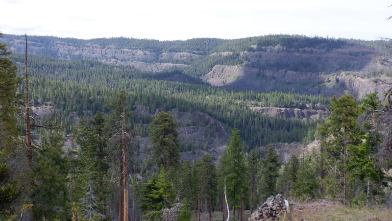
Updated: 05/15/2024
NF 630
Nile, Washington
This trail is situated in the Okanogan-Wenatchee National Forest. The trail is mainly used as a connector trail to get you from NF-1500 to the excellent Rattlesnake trail. But on your way there, the trail presents beautiful views of the Rattlesnake Creek Canyon, protected by high-volcanic cliffs on the other side of the canyon. The trail winds through high mountain meadows with scarred trees recovering from a forest fire.
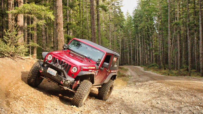
Updated: 06/04/2026
G-3040
Sunbeach, Washington
Located just outside of Belfair in the Tahuya ORV Park, G-3400 is an easy connector road to G-2000 and G-3000, allowing easy access to the trails in the south end of the park. There is no camping along this road.
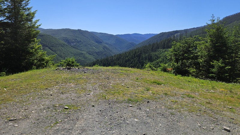
Updated: 10/15/2024
Echo Lake
Snoquera, Washington
A twisty, gravelly drive up into the forest may be just what the Dr. ordered here! This trail offers continually impressive views the higher you get. Although you are on the wrong side of the hills and forest to see Mt Rainier, plenty of other forest views keep you entertained. You'll find some camp locations along the road, mostly down lower, but users should be aware that most of the campsites are between the road and large dropoffs.
Although the road may appear to venture deeper into the forest, the legal MVUM track of this trail ends abruptly in an obscure location with no official markings.
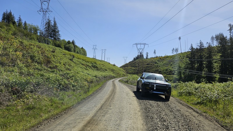
Updated: 12/02/2025
B-Line
Madrona Beach, Washington
B-Line is a well-tended gravel road in Capitol State Forest, traversing roughly east-west across the northern section and connecting with several key spurs and connector roads. The road is wide and generally well-maintained, with moderate grades and numerous turnouts. B-Line intersects with other numbered roads and provides access to trail systems in the north section of Capitol Forest, which is generally open to offroad vehicles. You'll find access to Rock Candy, North Rim (#1, 2, and 3) for ATV usage, and Loki for single track. Near the south-west paved end of the road is Porter Creek campground and a short hike to Porter Falls.
Capitol State Forest can have active logging operations, so be sure to pay attention and watch for heavy machinery and trucks while exploring the forest. There is no dispersed camping allowed in Capitol State Forest; the only camping permitted within the forest is in official campgrounds, so please ensure that you have a plan for that if you need a place to stay for the night.
Capitol State Forest is an 11,000-acre forest packed with roads and trails and specific opportunities for recreational purposes. Please see https://www.dnr.wa.gov/Capitol for up-to-date info and closures relating to this location and any restrictions on activities.
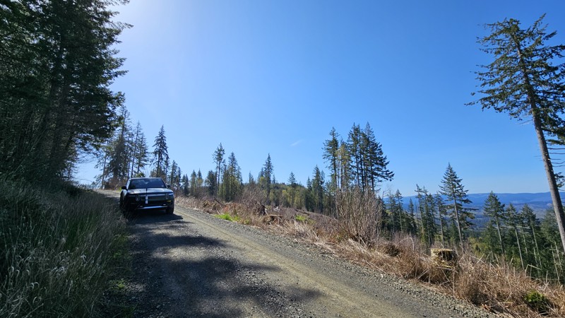
Updated: 10/22/2025
E-Line
Bordeaux, Washington
E-line offers an East-West traversal across the southern end of Capitol State Forest, with a well-maintained gravel road and stunning views. There are no official hiking trails off of E-line, but several smaller offshoot roads, some closed to vehicles, if you were looking to get out of the vehicle for a period of time for hiking or target shooting.
Capitol State Forest can have active logging operations, so be sure to pay attention and watch for heavy machinery and trucks while exploring the forest. There is no dispersed camping allowed in Capitol State Forest; the only camping permitted within the forest is in official campgrounds, so please ensure that you have a plan for that if you need a place to stay for the night.
Capitol State Forest is an 11,000-acre forest packed with roads and trails and specific opportunities for recreational purposes. Please see https://www.dnr.wa.gov/Capitol for up-to-date info and closures relating to this location and any restrictions on activities.
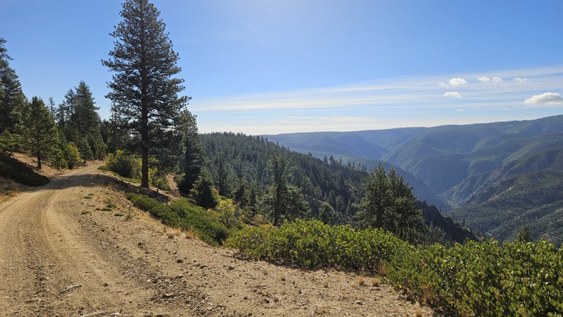
Updated: 12/11/2024
Roaring Ridge Road
Ardenvoir, Washington
Roaring Ridge is a 16-mile straight-through forest road primarily comprised of easy, ridgeline driving. This road can be a little rough in spots with a few bumps and dips along the drive, but nothing too problematic. However, finding turnouts can be challenging in a few thinner sections, especially if there are more than a couple of vehicles in your group. Views are abundant, and though powerlines are also present, they don’t take away from the beauty. These power lines spread at least 90 miles across the forest between Snohomish and the Columbia River. Camp spots are scattered along this road as you descend through wooded sections from Rothrock Road to the town of Ardenvoir, ending the road at a cute little one-lane bridge across Mad River.
Roaring Ridge is part of multiple popular overlanding routes, including the Washington Cascade Overland Route, and section 4 (Cashmere to Chelan) of the Washington Backcountry Discovery Route (WABDR).
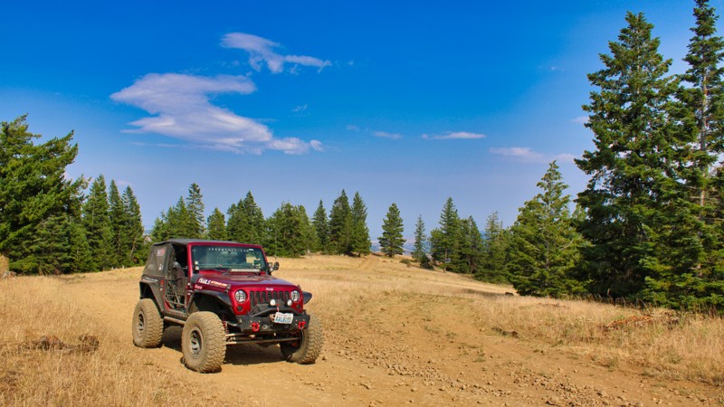
Updated: 10/15/2024
Barber Springs Road
Wenas, Washington
Barber Springs Road provides the quickest way into the 4x4 trails on the Manastash Ridge. This road starts on Manastash Road and climbs up quickly in elevation. The road does get a bit rocky toward the top, but stay easy on the throttle and let the suspension do the work. Lush green forests and rolling hills surround the road and occasionally offer glimpses of the majestic mountains in the distance. Barber Springs Road provides a peaceful and tranquil drive, perfect for those looking to escape the hustle and bustle of city life and immerse themselves in the beauty of nature. Travelers can expect to encounter wildlife, such as deer and birds, along the way, adding to the charm of the journey. Overall, Barber Springs Road offers a serene and idyllic driving experience for those looking to explore the natural beauty of Washington State.
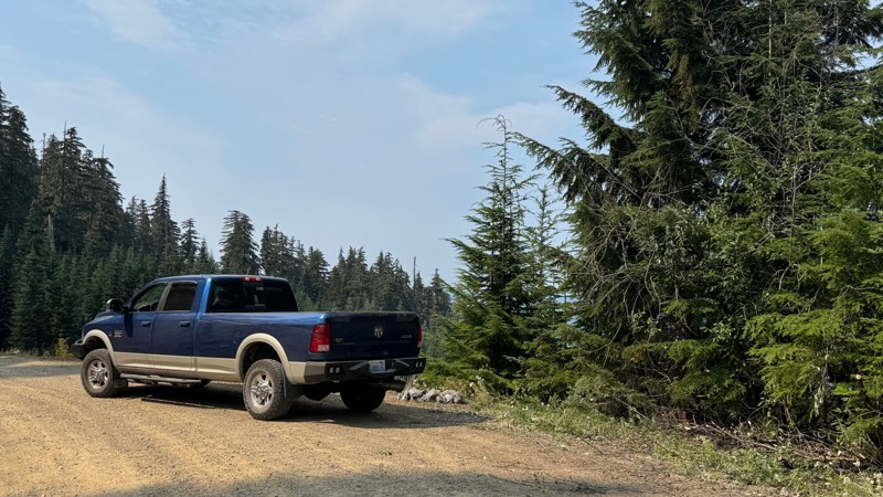
Updated: 09/25/2025
Hager Creek Road
Packwood, Washington
Forest Road 4800 begins gently, winding past a handful of homes and roadside camps before climbing steadily into the forested slopes above Hager Creek. The road is generally easy, though a short, steep gravel climb near the 6-mile mark, just past the Hager Lake Spur, may call for 4-low in heavy rigs. Beyond that, the drive is rewarding with many spurs that lead to meadows perfect for camping. Several trailheads like Lily Basin draw hikers and horseback riders, and clearings offer space for groups to spread out. As the road narrows, brush lines the way until it finally opens onto a ridge at the edge of the Goat Rocks Wilderness, where Packwood Lake shimmers far below and surrounding peaks stretch to the horizon. With star-filled skies at night and sunrise views in the morning, this road delivers the quintessential high-country experience for anyone willing to make the climb.
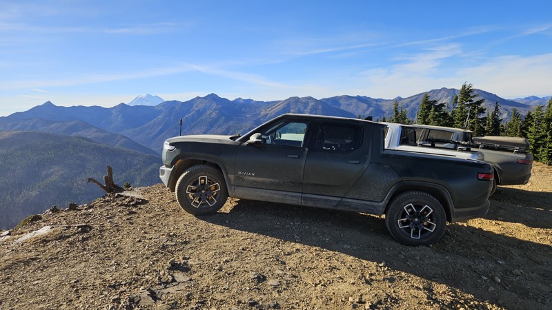
Updated: 10/29/2024
Timberwolf Mountain
Rimrock, Washington
Timberwolf Mountain boasts a short climb to the namesake summit, which offers stunning views of both Mt. Rainier and Mt. Adams. Along the drive, you will pass through the charred remains of pine trees that burned in the 2021 Schneider Springs fire. The road is primarily packed dirt but can be loose in some places. 4WD may be a desired feature if you're traversing this in inclement weather.
There's no camping along the trail, but with the 360-degree view, it would make a lovely location for sunrise or sunset observations.
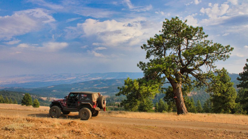
Updated: 10/15/2024
Hog Ranch Road
Pinecliff, Washington
Hog Ranch Road is a picturesque rural road starting at Audubon Road in the Wenas Valley in Washington state. This road can be used for quick access to the Manastash Recreation Area. The road condition changes from easy to moderate about halfway up, but that's what makes these roads interesting. The road climbs steadily from the Cascade Campground and connects with Bald Mountain Road / FS1701, known for its stunning natural beauty and tranquil surroundings. Surrounded by lush forests and rolling hills, this road offers a scenic drive that showcases the Pacific Northwest's diverse landscape. The road is lined with old-growth trees and wildflowers, creating a peaceful and idyllic setting for travelers to enjoy. Hog Ranch Road is a popular destination for nature enthusiasts, hikers, and photographers looking to immerse themselves in the beauty of Washington State's countryside.

Updated: 10/15/2024
FS1914-789
Cougar Valley, Washington
FS1914–789 is a picturesque single-lane road in the Mount Baker-Snoqualmie National Forest, meandering through ancient old-growth forests. This road offers a scenic drive with access to quick extractions of broken vehicles from the Naches Trail, making it a convenient route for adventurers. It parallels the historic Naches Trail and intersects at Waypoint 14 before winding to a dead end that could serve as a perfect overland camping spot for multiple rigs. While there aren't camping areas directly on the road, numerous spur roads provide access to excellent camping spots and scenic lookouts. Travelers can enjoy breathtaking views along this enchanting route to the north of the Canadian Cascades. The road is steep in sections, with numerous large mud puddles and erosion areas. This road is primarily used to quickly access Government Meadows on the Naches Trail.
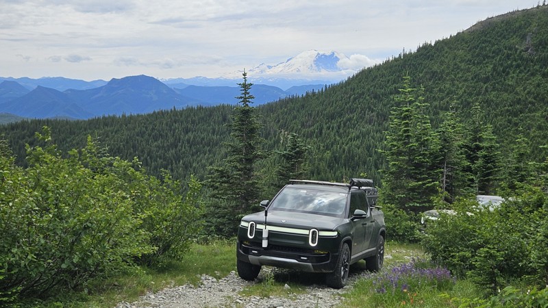
Updated: 08/11/2025
Upper Snow Creek
Stampede, Washington
Upper Snow Creek (Forest Road 5078) is a mixed-condition forest road that climbs Meadow Mountain in the Mount Baker-Snoqualmie National Forest. It begins as a well-graded gravel road but transitions to rough dirt partway along and becomes larger loose rock approximately 1.5 miles from the summit. The upper section becomes increasingly challenging, with two steep, narrow, and overgrown switchbacks near the top. The final switchback stretches about one-third of a mile and is heavily off-camber in places, bordered by dense brush and steep drop-offs. This section is only suitable for very narrow, high-clearance, or singletrack vehicles and may require reversing a significant distance if the turnaround at the end cannot be reached.
The road offers beautiful views the entire way, but Mt Rainier becomes visible the higher you climb, particularly as you rise above the surrounding foothills. Upper Snow Creek intersects the Stirrup Lake Trail at the southwest end, roughly 1 mile from the Pacific Crest Trail. Parking at this location is minimal, barely enough for one vehicle without blocking the road. Dispersed camping is available at several points along the route, including a scenic site near a small lake by the trail junction, a few primitive spur roads, and a beautiful mountaintop clearing at the very end of the road offering a direct view of Mount Rainier.
Updated: 10/15/2024
Thru Connector
Snoquera, Washington
Thru Connector is a straight-through road used to connect to many other roads. The trail is a soft dirt road through heavy forest land with some encroaching undergrowth. On a sunny day, it makes for a gorgeous shaded drive through the woods. One main concern along this drive is downed trees. It is highly advised to carry a saw while traveling this trail. Additionally, a previous mudslide creates a slight off-camber section. The road surface is soft dirt and mud in sections; even after many consecutive hot and dry days. A 4WD vehicle with fairly significant ground clearance will be needed to traverse this road.
There are several wide sections of road that would be suitable for camping, but nothing that looks like an established location that was commonly used.
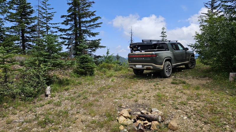
Updated: 10/15/2024
Mt. Baker-Snoqualmie 390
Lester, Washington
390 starts off a little overgrown, but it opens up shortly after. It's a short drive with quite a bit of vertical, but 4WD and a decent amount of ground clearance are highly recommended. The road is crossed by anti-washout berms at least a dozen times, and they're pretty severe. Unfortunately they don't photograph well, and the road was too narrow to get a side shot with the truck on them.
There is a fun little campsite at the very top, and a couple on the way up, but none of them really seemed level enough for ground tent usage. It would be quite nice for a vehicle-mounted one.
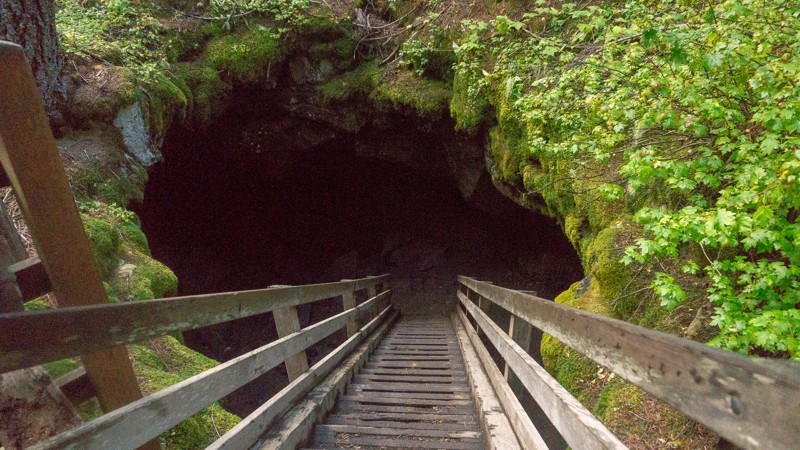
Updated: 09/29/2025
Guler Ice Caves
Trout Lake, Washington
The Guler Ice Cave is the main cave in an area of many, though the others are not publicized to reduce vandalism, and to protect the bats that live in these caves. It’s cold and filled with moist air, and ice can be present year-round. For this reason, it is recommended that you bring flashlights, warmer clothing, and sturdy footwear when exploring the caves. The cave stretches for 650 feet and has multiple entrances and exits, though crawling and fitting through tighter passages will become necessary as you continue deeper into the cave. For more infomation about the hiking visit Washington Trails Associaton. The Guler Ice Cave was created by lava tubes from the nearby Mt. Adams 12,000 to 18,000 years ago. The caves were known by Native Americans as well as early settlers to the region, and chunks of ice were taken from the caves and sent to towns along the Columbia River. The caves were later used by Mr. Christian Guler, who used them to store produce before taking them to the local market. There is a $5/vehicle/day fee, though the Northwest Forest Pass and National Park pass are also honored. Also, check the posted signs before entering the caves to ensure the safety of yourself, others, and the animals that live inside of the caves. This trail is part of the Washington Cascade Overland Route. Visit Overlanding Across Washington for more information, including which trails to take next.
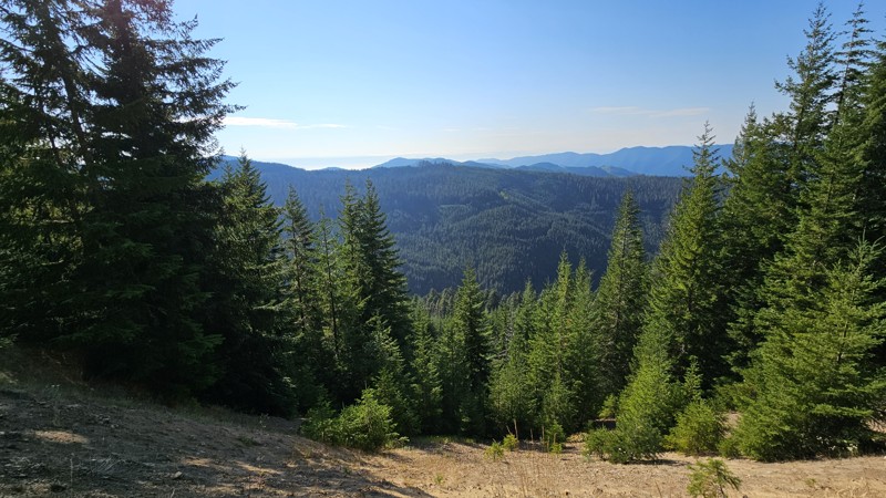
Updated: 02/13/2026
Olympic National Forest - 2931
Ovington, Washington
This pretty loop will take you through lush forest roads with distant views when you reach a higher elevation. Unlike most of the roads in this area, you'll loop back very close to your origin, so you won't need to plan much more of the route if you're only looking for a quick trip. The road is nice gravel and decently well maintained, though expect potholes and a few narrow spots as you reach the top of the road near the ridgeline. The route is passable in a 2wd sedan, making it suitable for all vehicles. Coming back down the eastern side you'll get a few narrow brush areas, though nothing to cause concern.
Dispersed camping is limited on this trail. At the very end, when you meet the Sitkum Sol Duc Connector, you'll find a pull-off section big enough for one or two vehicles to make camp for the night.
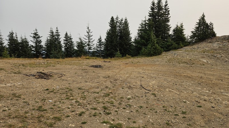
Updated: 10/15/2024
Mt. Baker Snoqualmie - 7726-310
Buckley, Washington
7726 is a short spur with two dead-end legs that boasts a couple of campsites and, during good weather, a glimpse of Mt. Rainier. The road is a little rocky but isn't an issue for a high clearance vehicle, and the terrain is not steep enough to necessitate the need for 4WD. Expect tight brush, making pinstriping likely. The campsites along the road are large and spacious suitable for any camp setup.
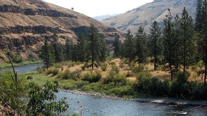
Updated: 10/15/2024
Grouse Creek Road
Grouse, Washington
This is canyon country, and Grouse Creek Road provides exemplary views of one of the most scenic canyons in the area. It is a delightful, easy washboarded drive from the Grande Ronde River Road to Bartlett Road. After climbing steeply away from the river, it follows along the river canyon below the ridge line. Because the road is bordered mainly by private property, there are no opportunities for camping.
Much of the road is a single-lane shelf road overlooking green meadows and the canyon of the Grande Ronde. Realize there are severe washboards coming up the grade, dust, and blind curves. Logging trucks may be on the grade, but they turn off onto Grouse Flat Road at the top of the grade. To minimize further washboards, the highway department recommends 4WD up the grade if you have it.
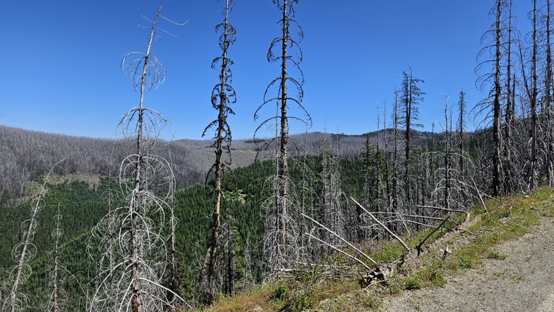
Updated: 10/15/2024
Forest Lake NFD7222
Snoquera, Washington
Forest Lake Road takes a winding path up through the trees and into a severe burn scar. Entire swaths of dead trees present a very dramatic comparison to the greenery of the live trees. Along the drive, you'll see a few campsites on the road and even more on a few of the offshoot roads. The trail ends in a turnaround with another good spot for a campsite.
Noble Knob hiking trail has two plausible trailheads off this road. One is a tiny offshoot road that looked to have space for 4+ vehicles and possibly some camping space as well. The other one is about 3/4 of the way up 7222 and consists of merely a slightly wider part of the road that can handle about three vehicles or so.
Updated: 12/15/2025
Dixon Mountain
Longmire, Washington
Dixon Mountain is an out-and-back spur off Skate Creek. Roughly one hundred feet from the start of the road, the first of several campsites appears at the confluence of Dixon Creek and Skate Creek. With cool water access and plenty of shade, it’s an inviting spot for summer camping or a quick rest stop.
As the route climbs, small humps begin to appear along the roadway, likely remnants of old logging yarder positions. Attentive visitors may also notice straight-line gaps through the forest canopy—evidence of historic highlines once used to transport timber across the ravine.
The road itself remains smooth and well-graded, with a compacted rock surface that stays accessible up to about mile 2.9. Here, a campsite offers wide views across the ravine and southwest toward the surrounding ridges. From around mile 3.2, the trail shifts from an easy drive to a more difficult climb with deep erosion ruts. At a fork, Dixon Mountain Road veers to the right, leading to additional viewpoints and the end of the road at a large washout and a missing section of roadway.
Access to this area depends on the seasonal status of Skate Creek Road (Forest Road 52), which is typically closed from December through May due to snow and road conditions. For updated information on closures and current access, contact the U.S. Forest Service, Gifford Pinchot National Forest.
Updated: 01/15/2026
McKenzie Ridge
Ardenvoir, Washington
Part of the Washington Backcountry Discovery Route (WABDR), McKenzie Ridge is a scenic, high-country forest road that climbs from the Tieton Basin into the sunlit ridges of the eastern Cascades, offering broad views and peaceful driving through mixed pine and fir forest. The route begins as a graded gravel road and gradually narrows into a winding mountain corridor with sections of loose rock, shallow ruts, and mild washouts that add light technical flavor without requiring advanced skill. Along the upper ridge, the terrain opens up to sweeping vistas of the Cascade foothills and the Yakima Valley, especially striking at sunrise or sunset when the hills glow gold. Although previously, established campsites did not exist along this road, several small clearings and spur roads provide quiet places to take in the view. While accessible to most high-clearance vehicles in dry conditions, McKenzie Ridge’s remote character and changing weather make it best suited for drivers prepared for variable mountain terrain. It’s a rewarding drive that captures the rugged beauty and solitude of Washington’s east-slope forests.
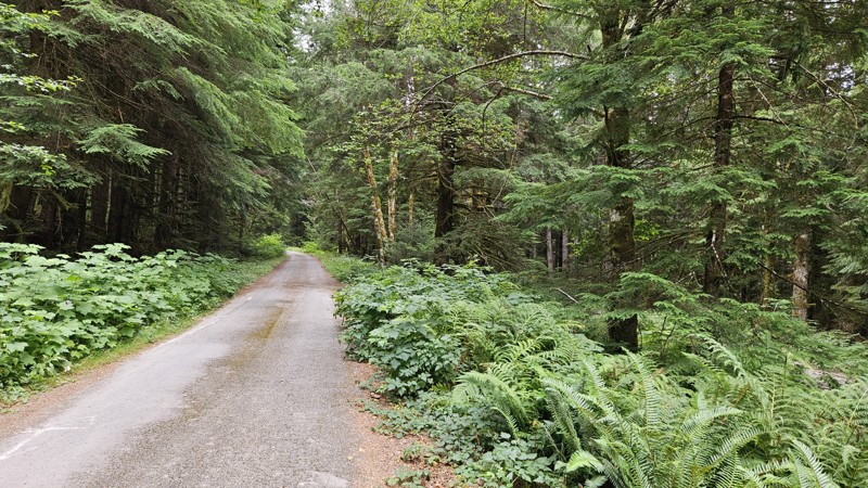
Updated: 10/15/2024
South Fork Sol Duc Road
Ovington, Washington
South Fork is a pretty straightforward gravel road. Expect large potholes, separated apart, to be more like speed bumps than danger to your wheels. It's a pretty lowland forest drive with a couple of dispersed campsites, with a sizeable one at the end. Arrive early if you plan on camping due to the ease of access—it fills up fast!
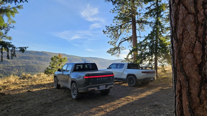
Updated: 10/29/2024
Devil's Table
Nile, Washington
Devil's Table is an out-and-back, rough dirt road with small ruts and embedded rocks, suitable for any high clearance 2WD vehicle during fair weather. This trail takes you on a side quest off the WABDR route but pays off with a couple of campsites and gorgeous south and westerly views. The road stops at a campsite large enough for a few rigs and offers users the chance to take a 1.25-mile hike up to the actual Devil's Table Peak for some beautiful views, especially in the evening.
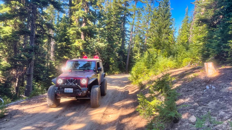
Updated: 08/11/2025
FS-1920-838
American River, Washington
FS-1920-838 is a secondary road branching off FS-1920. The road passes through a small glen and then climbs a ridge to dead end at a small campsite. There are several campsites and stunning views along this road.
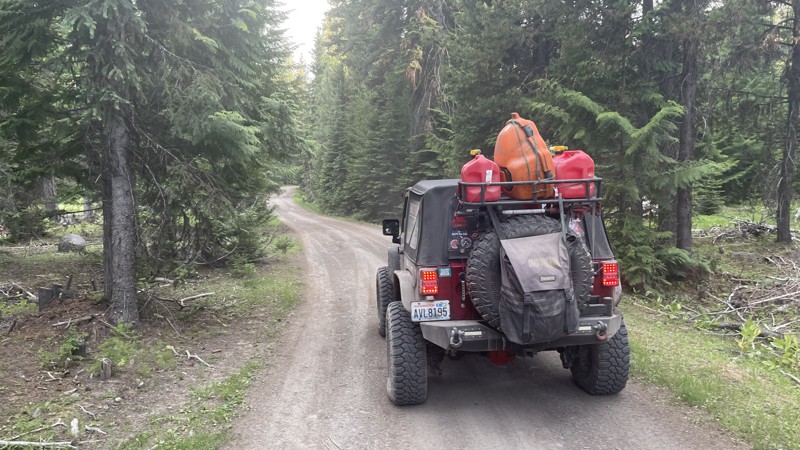
Updated: 10/15/2024
FS-702
Silver Beach, Washington
FS-702 is a short connector road between FS-1241 and South Fork Tieton Road. The road is only 2.3 miles and travels through some old-growth forest. There are several dispersed campsites along this road. Some are large group sites are used for elk hunting in the fall. Explore the many branching trails that go off left and right. You will be pleasantly surprised.
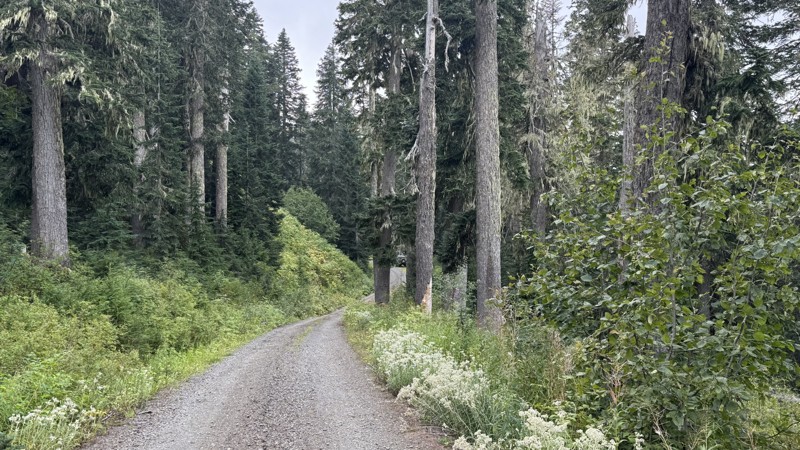
Updated: 09/21/2025
Horse Creek
Longmire, Washington
Horse Creek is an out-and-back road that offers a changing character of tracks, shifting from graded stretches to loose gravel, hard-packed dirt, and patches of cobblestone. The lower section is rougher, especially on the climb toward Lake Fizrenken, where rain-cut ruts pose a challenge to low-clearance vehicles. You will find a great campsite at the lake with a 30-foot scramble down to the lakeside. Beyond the lake, the surface gradually evens out, transitioning into smoother gravel and sharper elevation gains. The views get better as you ascend to the high point, especially overlooking the Nisqually River valley.
Descending from the high point to the road end, the brush thickens, and the corridor closes in, which may leave streaks of pinstriping on your rig. The tightest part is just before the end of the trail, where you will find another lovely campsite.
Access to this road is dependent on FS 52 "Skate Creek" seasonal snow closure, snow melt, and road conditions. Contact Cowlitz Valley Ranger District at (360) 497-1100 for closure updates, or check the “Current Conditions” section on the ranger district website.
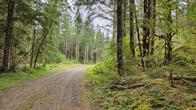
Updated: 10/15/2024
Olympic National Forest - 2923060
Sappho, Washington
A short spur off of 2923 that boasts a couple of camping spots. One at the very end is pretty secluded and green, and the other is just a widened gravel area where they've blocked off other roads that may still be suitable for hiking. It's flat and graveled but provides a nice quiet drive through a forested area and a good campsite off the road far enough that you likely wouldn't be bothered
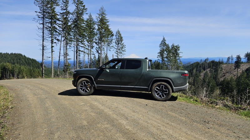
Updated: 10/22/2025
D-4000
Bordeaux, Washington
D-4000 is a gravel forest road in Capitol State Forest, running between the C-Line and D-Line roads. It provides access to several trailheads, including Waddell Basin West, McKenny, Lost Valley, and Mima Falls West. It also serves as an entry point to the Sherman Creek Loop from wta.org. The road traverses a mix of second- and third-growth forests, with occasional clearings offering lovely views. On a sunny day, Mt. Rainier will put in an appearance around a few of the turns. D-4000 is subject to seasonal closures and restrictions; notably, recreational target shooting is prohibited along this corridor. The road's condition can vary, with several sections featuring newer gravel and others having potholes or uneven surfaces.
Capitol State Forest can have active logging operations, so be sure to pay attention and watch for heavy machinery and trucks while exploring the forest. There is no dispersed camping allowed in Capitol State Forest; the only camping permitted within the forest is in official campgrounds, so please ensure that you have a plan for that if you need a place to stay for the night.
Capitol State Forest is an 11,000-acre forest packed with roads and trails and specific opportunities for recreational purposes. Please see https://www.dnr.wa.gov/Capitol for up-to-date info and closures relating to this location and any restrictions on activities.
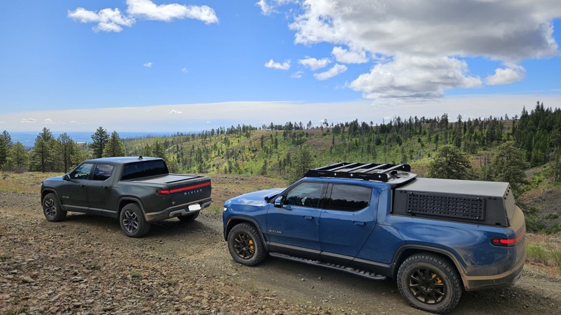
Updated: 10/15/2024
Cross Over Road
Sunland Estates, Washington
Cross Over Road is a short dead-end off-shoot from Beacon Road that sports at least six camping locations. There are several spectacular views as you traverse this gentle drive along the side of a ridge for the first mile or so. About 2.5 miles in, you'll find a nice wide open area suitable for a large group to camp. This was originally a split in the road where Brushy Road headed Southeast and Cross Over Road continued northwest. However, Brushy Road has permanently been closed at 47.15405, -120.23189 to anything except authorized vehicles. Users should always be aware of posted signage and check the Green Dot maps for the legal roads.
Cross Over Road is mostly graded dirt with a few ruts and rocks. The most difficult portion is an 8-10" drop that might give some vehicles pause but can easily be traversed with a little care. The trail dead-ends at 3.6 miles and is closed for wildlife range protection, though you will find several more campsites in this area.
Green Dot Roads are a collaboration between DNR, the Washington Department of Fish and Wildlife, and private landowners to provide opportunities for dispersed recreation such as camping, hunting, off-road vehicle riding, and wildlife viewing. Green Dot roads are the legal motorized routes and marked with a round green reflector on a white route marker. You can find current mappings that will include seasonal and other closures at https://wdfw.wa.gov/about/wdfw-lands/green-dot. A Discover Pass is required for portions of DRN land that are included in Green Dot road maps.
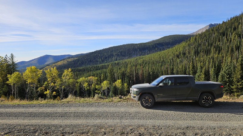
Updated: 12/11/2024
Lone Frank Pass
Conconully, Washington
Connecting Salmon Meadows and Meadows-Toats Road, NFD Road 3820 encompasses a portion of the WABDR as you head north toward Canada. This road has the glorious designation of being the highest portion of the WABDR as you cross Lone Frank Pass above 6,700 feet. The southern National Forest section of 3820 is nicely graveled, but at the change to the Loomis Natural Resources Conservation Area, it flips to dirt, gets rocky, and is slightly washed out. Along the drive, you will encounter several hiking trailheads, such as Tiffany Lake, Clark Ridge, and Honeymoon Pass.
Other than the official campground at the southeast end, there are no suitable camping locations along this road, so plan to continue straight through this short stint or stop early if your day gets long.
NFDR 3829 is a portion of section 6 (Conconully to Canada Border) of the Washington Backcountry Discovery Route (WABDR), a scenic 575-mile mostly offroad route from the Oregon state line to the Canadian border.
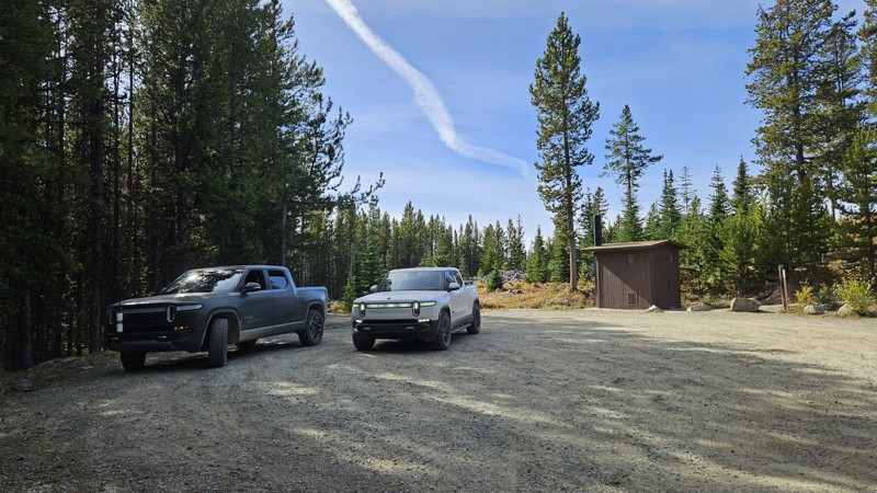
Updated: 11/06/2024
Nine Mile Road
Loomis, Washington
Nine Mile Road is a scenic gravel road that winds through a thick pine forest, leading you to stunning campsites, breathtaking viewpoints, and the start of the Cold Springs Trailhead. It's a smooth, quick drive on a well-maintained gravel path, wide enough for easy passing in each direction without the need for special pullouts. With multiple trailheads and hidden campsites tucked along the way, every mile invites you to pull over, explore, and soak up the incredible wilderness that awaits.
Nine Mile Road encompasses a portion of section 6 (Conconully to Canada Border) and the entirety of the section 6 extension (Cold Springs Viewpoint) of the Washington Backcountry Discovery Route (WABDR), a scenic 575-mile mostly offroad route from the Oregon state line to the Canadian border.
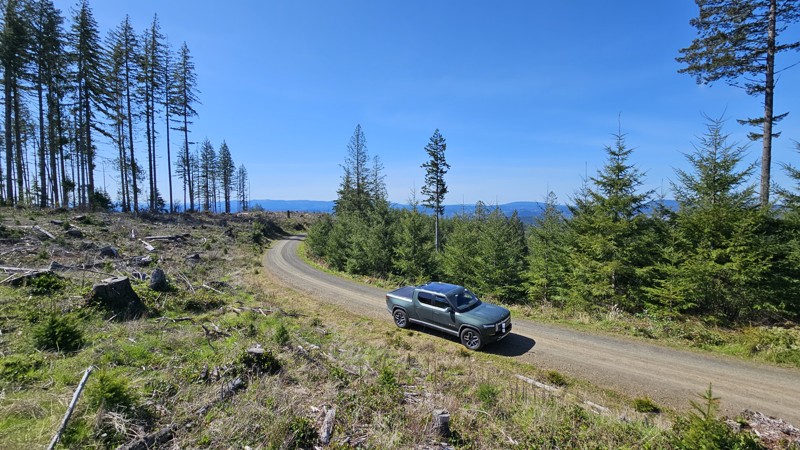
Updated: 10/01/2025
D-1000
Cedarville, Washington
D-1000 runs north and south through Capitol State Forest, linking D-Line and C-Line by way of a narrow, well-used gravel road. While there are no campsites along its length, the road serves as a quiet connector for trail access and scenic riding. At its northern end, D-1000 meets up with Porter Trail, Porter-Tie, Wedekind, and Crestline, offering solid trailhead options for hikers and bikers. For those aiming higher, a junction with D-1500 provides a route up to the summit of Fuzzy Top, a lesser-traveled peak with rewarding views on clear days.
Capitol State Forest can have active logging operations, so be sure to pay attention and watch for heavy machinery and trucks while exploring the forest. There is no dispersed camping allowed in Capitol State Forest; the only camping permitted within the forest is in official campgrounds, so please ensure that you have a plan for that if you need a place to stay for the night.
Capitol State Forest is an 11,000-acre forest packed with roads and trails and specific opportunities for recreational purposes. Please see https://www.dnr.wa.gov/Capitol for up-to-date info and closures relating to this location and any restrictions on activities.
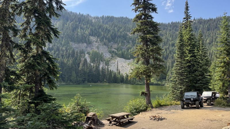
Updated: 12/31/2025
Miners Ridge
Goose Prairie, Washington
Miners Ridge, just south of Bumping Lake off Forest Road 18, is an easygoing out-and-back that blends shaded forest driving with one of the most scenic lake stops in the area. The road climbs gently past Granite Lake, a crystal-clear alpine gem with four primitive dispersed campsites right along its shore. The two larger sites near the entrance can easily fit groups or multiple rigs, while the smaller tucked-away spots at the far end offer quieter, more private camping. From here, the trail roughens slightly, with the only real obstacle being a bump over an exposed culvert, but nothing most vehicles can’t handle. Beyond the lake, the road narrows and winds its way up toward the ridge, where a sandy climb leads to the summit. The turnaround is small at the very top, but just below is a wide pullout that can hold several vehicles and delivers nearly panoramic views across the Cascades. Between the lakeside camping and the ridge-top vistas, Miners Ridge is the kind of trail that rewards both the casual camper and the weekend explorer.
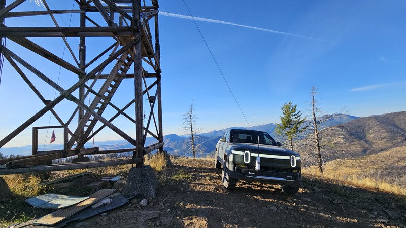
Updated: 12/11/2024
Funk Mountain
Conconully, Washington
Funk Mountain is a short, dead-end spur off the main WABDR route, offering stunning views from an extra-tall lookout tower. The drive to the tower starts easy and progressively gets rougher, with the roughest section just before the summit. 4WD and a little extra clearance will be needed to traverse the exposed rocks and a small off-camber rock climb underneath the tower's stabilizing cables. Narrowly surviving the 2021 Muckamuck fire, Funk Mountain Lookout is one of the oldest lookouts in the northwest, first established as a crow's nest tree platform in 1914. In 1935, an L-5 ground cab was added and then replaced in 1943 by the current L-4 cab with a catwalk. Used sporadically until 2000, the platform is still open to the public for those not afraid of heights. Extreme caution should be used as you climb the extra steep, deteriorating stairs to the lookout tower, and enjoy the beautiful scenery.
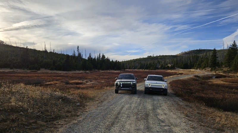
Updated: 12/11/2024
Meadows-Toats Road
Chopaka, Washington
Road 39 runs north to south from the Windy Peak trailhead to NFD Road 37. It encompasses a small portion of the WABDR route between Thunder Mountain and Tiffany Springs. It's an easy gravel and dirt road with amazing views and elevation. There are many campsites along the road, including Tiffany Springs Campground if you're looking for something a little more established.
This road offers many opportunities for more adventures. Much of the road is open to cattle grazing, so expect to find some bovine friends during parts of the summer and evidence of their visit even when they're not around. Lots of hiking trails start from 39, and it's just a short walk up a decommissioned road to Corral Butte.
A portion of Meadows-Toats Road is part of section 6 (Conconully to Canada Border) of the Washington Backcountry Discovery Route (WABDR), a scenic 575-mile mostly offroad route from the Oregon state line to the Canadian border.
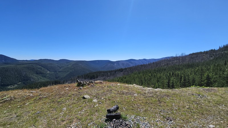
Updated: 12/30/2025
Little George
Snoquera, Washington
Little George is a 4-mile spur with a couple of camping spots and pretty views. The trail is not overly traveled, so there are a few locations where the foliage kisses the vehicle as you drive through, but pinstripes just tell the story of these adventures! The end of the road is a turnaround spot large enough for a decent group to camp, but there is not much level ground for ground-based tents.
There are beautiful overlooks along the route, and the scars from a previous fire are visible in the trees as you look over the valley.
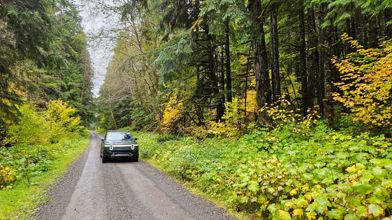
Updated: 11/07/2025
Pete's Creek Trail
Neilton, Washington
Forest Road 2204, also known as Pete’s Creek Road, winds through a lush stretch of the southern Olympic National Forest. The road surface is mostly well-maintained gravel, making it accessible to nearly all vehicles and an easy drive for beginners, sightseers, and campers. The route is lined with towering evergreens, their dark green canopy broken by clusters of vine maples that blaze with yellows and reds in the fall. Several bridges cross clear, rushing streams, and small waterfalls can be seen tumbling down the mossy hillsides.
The road provides access to multiple trailheads, including Gorge Bridge, Switchback, Pete’s Creek, Middle West Fork Humptulips, and Upper West Fork Humptulips, as well as the Campbell Tree Grove Campground. Both Pete’s Creek and the campground offer pit toilets, although the campground itself is open seasonally from May to September.
Some sites along this road will require a forest pass to visit. Please ensure you've got the appropriate pass before stopping
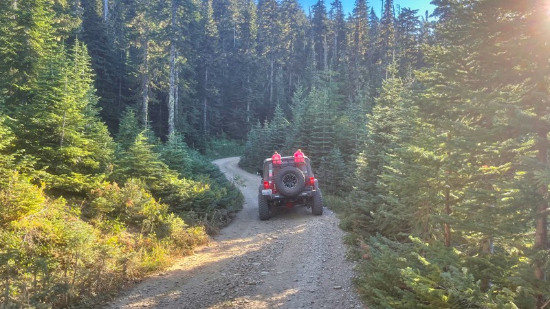
Updated: 10/15/2024
FS-1920-827
American River, Washington
FS-1920-827 branches out from FS-1920 and is a very short road that leads to a really nice camping site. There really aren't any views since the forest is thick here. The trail gets pretty narrow with some branches doing some pinstriping.
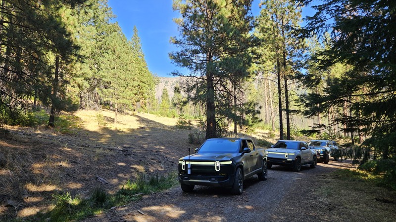
Updated: 10/29/2024
Pine Creek
Rimrock, Washington
Pine Creek is a short, easy gravel bypass for a portion of the WABDR that boasts a couple of campsites and an alternate route to the Tieton Pond campground. It starts directly off SR 12 near Hause Creek campground, next to a small open spot on the Tieton River, where you can take a quick break before heading up the trail. The trail loops around Tieton Pond and connects to NF-1500, where you can continue north along part of the Washington Cascade Overland Route.
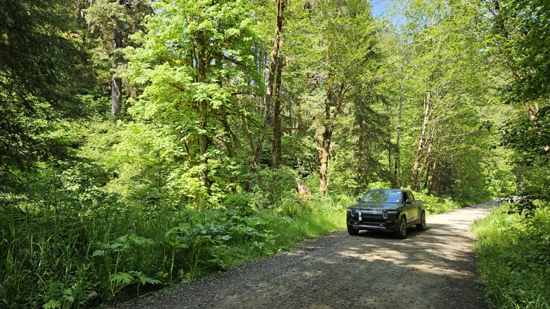
Updated: 09/22/2025
B-1000
Porter, Washington
B-1000 is a gravel forest road in Capitol State Forest that runs roughly east-west, parallel to portions of the Larch Mountain and Twin Peaks ATV trails. It serves as an access route for recreational vehicles and connects directly with the Capitol Peak ATV trail at its eastern end. The road is moderately narrow, with some minor elevation changes and dense forest coverage along much of its length. Trail crossings are common, even with only a couple of official intersections, so users should be cautious of ATV traffic, especially near intersections.
Capitol State Forest can have active logging operations, so be sure to pay attention and watch for heavy machinery and trucks while exploring the forest. There is no dispersed camping allowed in Capitol State Forest; the only camping permitted within the forest is in official campgrounds, so please ensure that you have a plan for that if you need a place to stay for the night.
Capitol State Forest is an 11,000-acre forest packed with roads and trails and specific opportunities for recreational purposes. Please see https://www.dnr.wa.gov/Capitol for up-to-date info and closures relating to this location and any restrictions on activities.
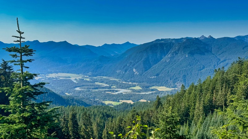
Updated: 06/10/2025
Siler Roberts
Cora, Washington
FS-5500, commonly known as Siler Roberts, is a 13.5-mile forest service road situated in the Gifford Pinchot National Forest. This road provides access to Lone Tree Lake and Lone Tree Mountain, offering stunning vistas into the surrounding valleys and Mt. Adams in the East. As it ascends 2,000 feet through lush old-growth forests, be prepared for some shelf-road sections in certain spots. There are a few camping spots along the road, but there are many side spur-roads that will probably provide even better camping.
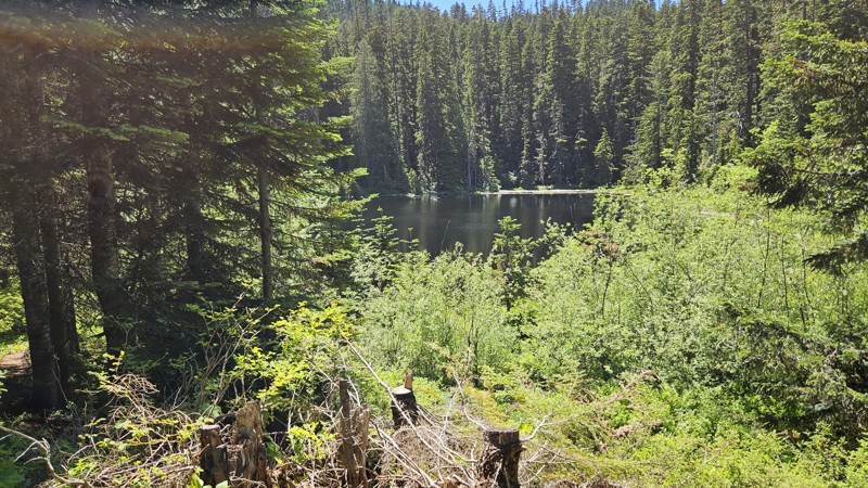
Updated: 10/15/2024
Mt. Baker-Snoqualmie 371
Snoquera, Washington
This is a short little spur off of NFD7222 that takes you to Forest Lake. It's a nice, quiet drive on forest dirt instead of the gravel you've been on for a while. One section of trail is slightly off-camber, but it is nothing to be concerned about. There's one camping spot at the end near the lake, with a large enough parking area for a few cars.
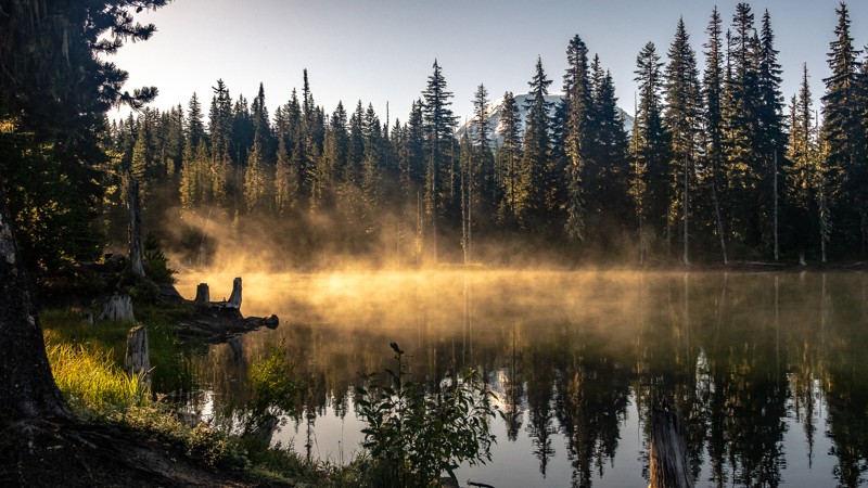
Updated: 09/29/2025
Horseshoe Lake
Berry Patch, Washington
NF-2329-078 begins at Waypoint 9 of NF-2329 and continues 1.66 miles until arriving at both Horseshoe Lake and Horseshoe Lake Campground. The lake covers 25 acres and is used for camping, fishing, and boating with limitations on electric motors only. There are 12 campsites available and offer amazing views of Mount Adams to the south. Many hiking trails are also located nearby. This trail is part of the Washington Cascade Overland Route. Visit Overlanding Across Washington for more information, including which trails to take next.
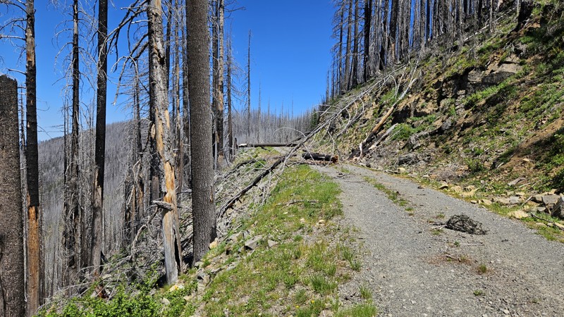
Updated: 10/15/2024
George Creek
Snoquera, Washington
This drive traverses the wrong side of a ridgeline for Rainier views, but there are still very pretty views of the valley and forest. A few pull-off areas along the road had evidence of previous campfires and enough space for camping, but the real experience of George Creek comes from the fact that it traverses a burn scar through the forest, surrounding you with snags and giving a bit of an eerie feeling, even on a bright sunny day. You'll need to be prepared for downed trees and use caution in heavy winds.
The official end of the trail ends at a slightly obscure spot with little room for turning around.
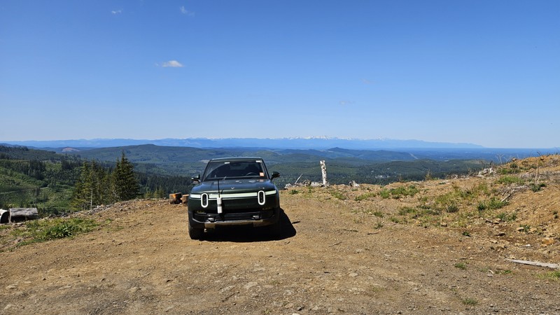
Updated: 09/22/2025
C-4700
Delphi, Washington
C-4700 is a spur road branching north from C-4000 in Capitol State Forest. It climbs steadily through a mix of second-growth forest and occasional clearings, providing access to higher elevations and possibly connecting to B-8500, which intersects with the Divide Trail North ATV route shortly past the connection. The road is narrow and gravel-surfaced, with the trees getting much narrower near the top. While it doesn't reach all the way to the peak of Rock Candy Mountain, a 1/4 mile spur of C-4730 does. Though not a primary connector, C-4700 offers access to less frequented parts of the forest and connects with recreational trail systems used by offroad vehicles. No views from the peak, but it does offer a large turnaround, and tree surrounds for a little protection from the wind, and you can see the Olympic Mountains as well as Mt Rainier and Mt Adams on the drive up.
Capitol State Forest can have active logging operations, so be sure to pay attention and watch for heavy machinery and trucks while exploring the forest. There is no dispersed camping allowed in Capitol State Forest; the only camping permitted within the forest is in official campgrounds, so please ensure that you have a plan for that if you need a place to stay for the night.
Capitol State Forest is an 11,000-acre forest packed with roads and trails and specific opportunities for recreational purposes. Please see https://www.dnr.wa.gov/Capitol for up-to-date info and closures relating to this location and any restrictions on activities.
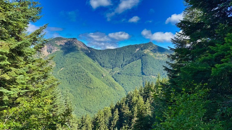
Updated: 11/15/2025
Naches Trail Access Road
Snoquera, Washington
FS-7065 is a captivating Forest Service road that elegantly links the first two starting points of the western side of the popular Naches Trail. This road can be used to bypass the first uphill section for vehicles or drivers who might consider the start of this trail to be a bit too difficult. As adventurers navigate its mildly steep inclines, they are rewarded with breathtaking views and moments of deep natural beauty, particularly in the enchanting sections that rise dramatically toward the summit. This road carves through pristine virgin forests, with towering trees and vibrant underbrush, teeming with life. Along the way, explorers can discover several awe-inspiring lookouts that showcase the stunning landscapes of the region, providing perfect spots for reflection and photography. Additionally, there’s a cozy campsite nestled along the route, offering weary travelers a chance to pause and immerse themselves in the serene surroundings before continuing their adventure.
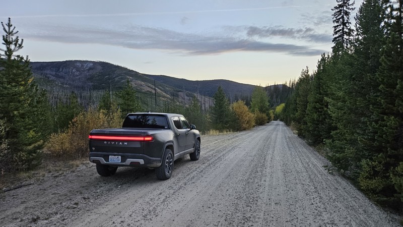
Updated: 12/11/2024
Middle Salmon Boulder
Winthrop, Washington
Middle Salmon Boulder, also known as NFDR 37, offers a fun dirt and gravel alternative between Winthrop and Conconully. The western end starts as a nice gravel trail up until Baldy Pass, where it gets a little rough and rocky but is still suitable for any vehicle with decent ground clearance. The views across the pass are amazing, especially during sunset and dusk. The mountain's western side is stunning for an evening drive. You can find a few dispersed sites along the road, some of them tucked back into little offshoots that make them hard to spot.
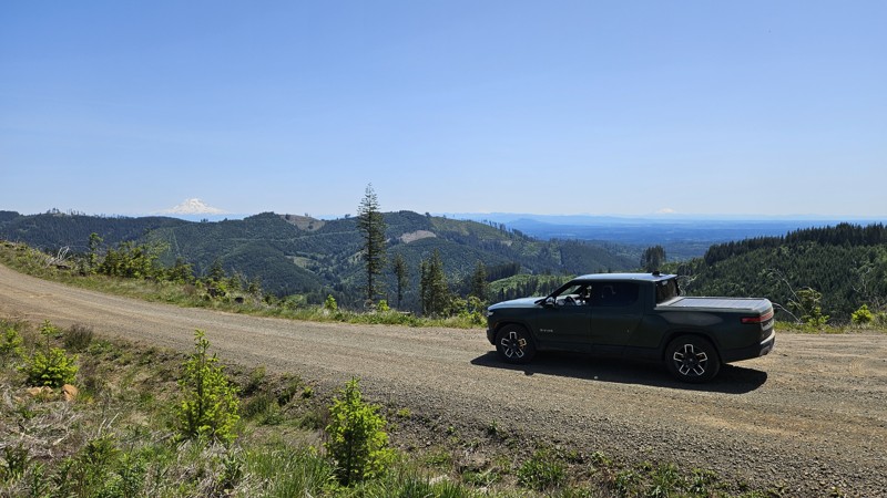
Updated: 09/22/2025
C-4000
Porter, Washington
C-4000 is a gravel road in Capitol State Forest running primarily north-south, serving as both a recreational access route and a trail connector. In its southern stretch, it parallels the Crestline hiking trail before intersecting with several multi-use and ATV-friendly trails, including Capitol Peak Trail, Slide Trail, Larch Mountain Trail East, and Divide Trail North. The road varies in width and surface quality, with sections ranging from compact gravel to rougher, uneven stretches. It provides important access for hikers, bikers, and ATV riders entering or transitioning between trail systems across the northeastern portion of the forest.
Capitol State Forest can have active logging operations, so be sure to pay attention and watch for heavy machinery and trucks while exploring the forest. There is no dispersed camping allowed in Capitol State Forest; the only camping permitted within the forest is in official campgrounds, so please ensure that you have a plan for that if you need a place to stay for the night.
Capitol State Forest is an 11,000-acre forest packed with roads and trails and specific opportunities for recreational purposes. Please see https://www.dnr.wa.gov/Capitol for up-to-date info and closures relating to this location and any restrictions on activities.
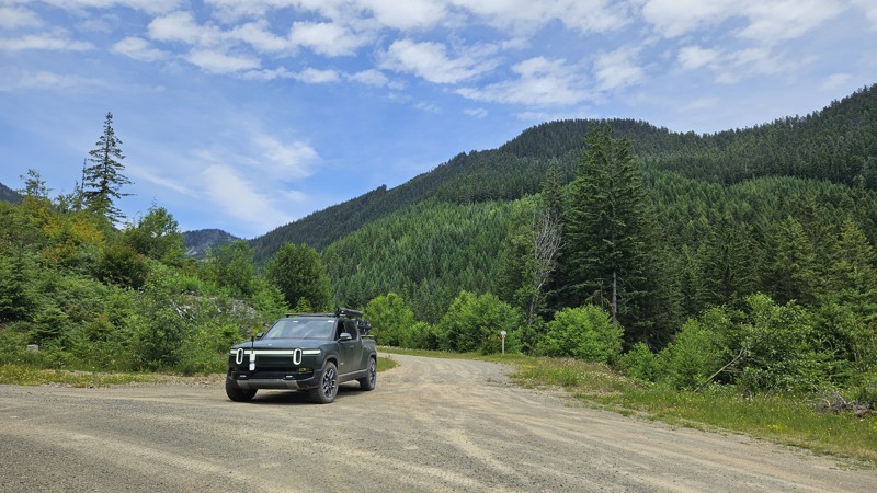
Updated: 08/11/2025
Cedar Mainline
Stampede, Washington
Cedar Mainline (Forest Road 50) is a well-maintained gravel road in the Mount Baker-Snoqualmie National Forest, beginning at its junction with Forest Road 54 (Stampede Pass Road). It travels northwest through dense forest and gently rising terrain before ending at a gated boundary marking the edge of the Cedar River Municipal Watershed. In its final 0.2 miles, the road becomes brushy and overgrown, narrowing very quickly to a point where only single-track vehicles can proceed comfortably. At that point, it transitions seamlessly into Cedar #560 (FS 5060). Along the route, travelers will find a few dispersed campsites and multiple spur roads branching off for further exploration.
Active logging begin in July 2025, resulting in a wide, stable road surface suitable for all vehicle types during dry conditions.
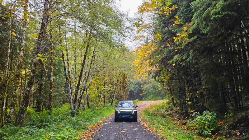
Updated: 11/07/2025
Newbury Creek
Neilton, Washington
Newbury Creek Road (Forest Road 2204) is an easy, well-maintained gravel road winding through the quiet forest of the southern Olympics. It’s flat and gentle, making it ideal for beginners, casual drives, or anyone looking to enjoy the scenery without much challenge. The forest is dense with evergreens and dotted with bright vine maples that bring bursts of yellow and gold in the fall. Some of the best color sits just back from the roadside, creating a layered depth that feels unique to the season.
A few small campsites and short dead-end spurs along the way offer options for quiet camping or exploring. The road passes several small waterfalls and crosses a couple of lovely bridges, adding variety to an otherwise calm, enclosed drive. Even on a rainy day, the forest feels inviting, with light breaking through the canopy in occasional clearings. Some sites along this road will require a forest pass to visit. Please ensure you've got the appropriate pass before stopping.
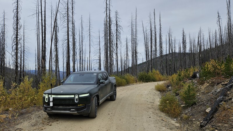
Updated: 11/19/2024
South Fork Salmon Creek
Ruby, Washington
Passing through the Lime Belt burn scar southwest out of Conconully, South Fork Salmon Creek Road is a rough forest road through the Okanogan-Wenatchee National Forest. Also called Forest Road 42, it starts nicely graveled but gets rough and rutted near the halfway point just after FR 300. It'll stay rough until it intersects with South Beaver and then becomes a paved road as it continues south to Loup Loup Campground and Highway 20.
Dispersed camping on this road is sparse, with only one or two locations along the whole road, but several offshoots may provide better accommodations. Nearby improved camping can be found at the Loup Loup Campground, a Forest Service campground that charges a nightly fee.
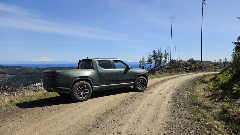
Updated: 10/01/2025
D-3000
Porter, Washington
D-3000 is a dirt connector road in Capitol State Forest, connecting D-Line and D-1000. The road is primarily hard-packed dirt, with some scattered potholes and occasional larger ones. It traverses diverse landscapes, including open clear-cuts and dense forested areas, paired with occasional views of the nearby mountains. During the wetter months, travelers may encounter snow at higher elevations, as well as small creeks and waterfalls. Sherman Valley Campground is close to the southern end of this road for overnight access.
Capitol State Forest can have active logging operations, so be sure to pay attention and watch for heavy machinery and trucks while exploring the forest. There is no dispersed camping allowed in Capitol State Forest; the only camping permitted within the forest is in official campgrounds, so please ensure that you have a plan for that if you need a place to stay for the night.
Capitol State Forest is an 11,000-acre forest packed with roads and trails and specific opportunities for recreational purposes. Please see https://www.dnr.wa.gov/Capitol for up-to-date info and closures relating to this location and any restrictions on activities.
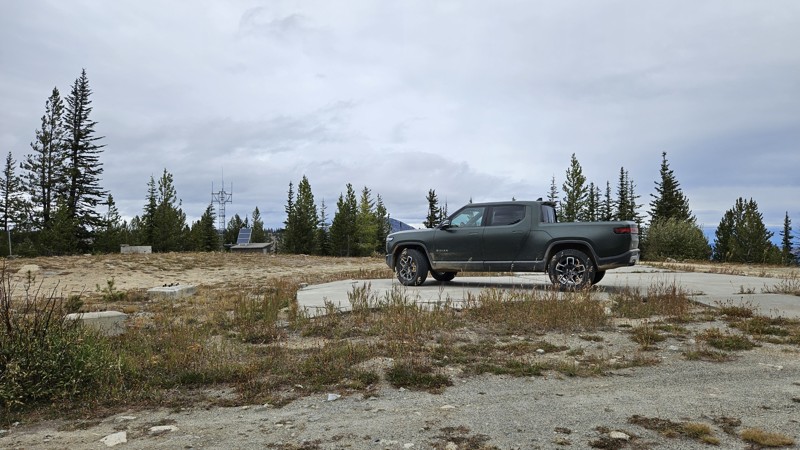
Updated: 11/19/2024
Starvation Mountain
Ruby, Washington
Winding its way through the Okanogan-Wenatchee National Forest en route to its namesake, Starvation Mountain Road is a nice, easy path up to the top of the 6,775-foot mountain, where you will encounter the concrete foundation of some sort of previous structure. The road is mostly well-maintained gravel, though you might encounter washed-out and rutted sections in a few places. Due to the fine, silty dirt that makes up much of the road, 4WD would be helpful on adverse weather days. In general, this road is suitable for any vehicle with decent ground clearance.
Along this 11-mile out-and-back road, you will find many campsites and a couple of documented motorcycle trails.
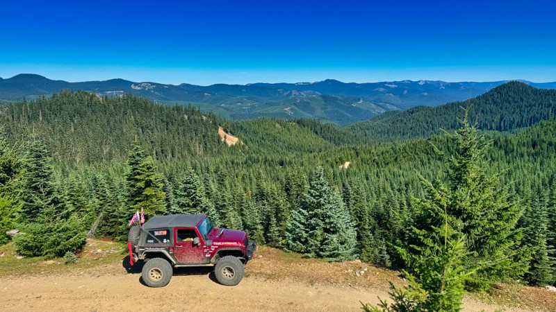
Updated: 10/15/2024
Lost Camp
Cougar Valley, Washington
FS-1914-793 is a forest service road that starts on the east side of Pyramid Pass and is an alternate route onto the Naches Trail with quick access to Government Meadows. The road is single-lane and not maintained; there are potholes and some erosion along the way. The views from this road to the north are breathtaking. While there is no obvious camping on the road itself, many spur roads travel out to lookouts with excellent camping opportunities.
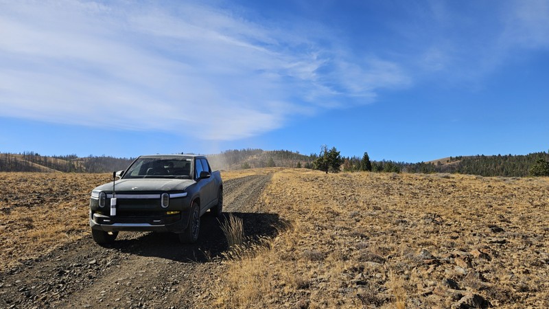
Updated: 12/01/2025
Woodcamp Ridge Road
Wenas, Washington
Woodcamp Ridge Road runs between Cleman Mountain Ridge Road and Newlands Road, parallel to the WABDR section of Jones Road. It's a beautiful drive down from Cleman Mountain with several fun, steep sections on loose rock. Going downhill is relatively easy on these sections, but you'll likely want some form of 4WD if you attempt to climb this road.
No campsites are on this road, just the pretty views and some dust to keep you company.
Green Dot Roads are a collaboration between DNR, the Washington Department of Fish and Wildlife, and private landowners to provide opportunities for dispersed recreation such as camping, hunting, off-road vehicle riding, and wildlife viewing. Green Dot roads are the legal motorized routes marked with a round green reflector on a white route marker. You can find current mappings that include seasonal and other closures at https://wdfw.wa.gov/about/wdfw-lands/green-dot. A Discover Pass is required for portions of DRN land included in Green Dot road maps.
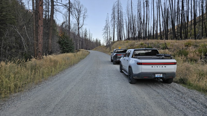
Updated: 12/11/2024
Salmon Meadows
Conconully, Washington
Salmon Meadows is a well-maintained gravel connector from Conconully to the Salmon Meadows Upper Campground. It has a couple of designated campgrounds and at least one dispersed campsite along the path.
Salmon Meadows is the first unpaved portion of section 6 (Conconully to Canada Border) of the Washington Backcountry Discovery Route (WABDR), a scenic 575-mile mostly offroad route from the Oregon state line to the Canadian border.
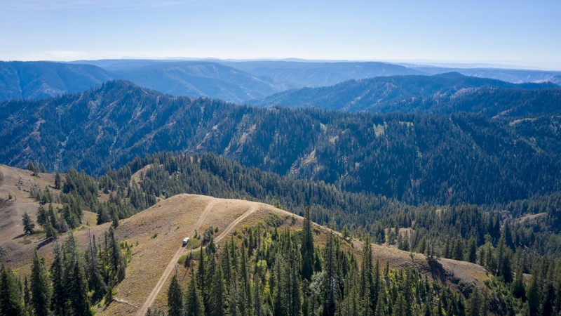
Updated: 11/30/2025
Yellow Jacket Point
Kooskooskie, Washington
Forest Road 40 is a 4.1-mile out-and-back trail tucked deep into the Blue Mountains, offering a mix of rugged terrain and reward for adventurous drivers. It carries a moderate rating, not for technical difficulty, but because of two key factors: narrow stretches that will leave your rig pin-striped and sections where the center of the trail rises high between the tracks, requiring at least 32-inch tires for comfortable clearance.
The route alternates between dense forest corridors, where huckleberry bushes crowd the edges, and wide-open viewpoints that sweep across the Umatilla National Forest. Looking north, you can see the rolling farmland of the Palouse, while to the south, the jagged ridges of the Wallowa-Whitman National Forest stretch toward the horizon.
Wildlife sightings are common here. This area is said to be home to the elusive Shira Moose, so don’t be surprised if that “shaking bush” turns out to be something much larger. The trail ends at a stunning overlook, where the views are nothing short of spectacular. Bring binoculars to spot elk, deer, and other wildlife moving across the surrounding mountainsides.
Scattered along the trail are numerous camping spots, perfect for turning a day trip into a quiet overnight in the backcountry. Between the scenery, the wildlife, and the mix of forest and open ridges, Forest Road 40 delivers a quintessential Blue Mountains experience.
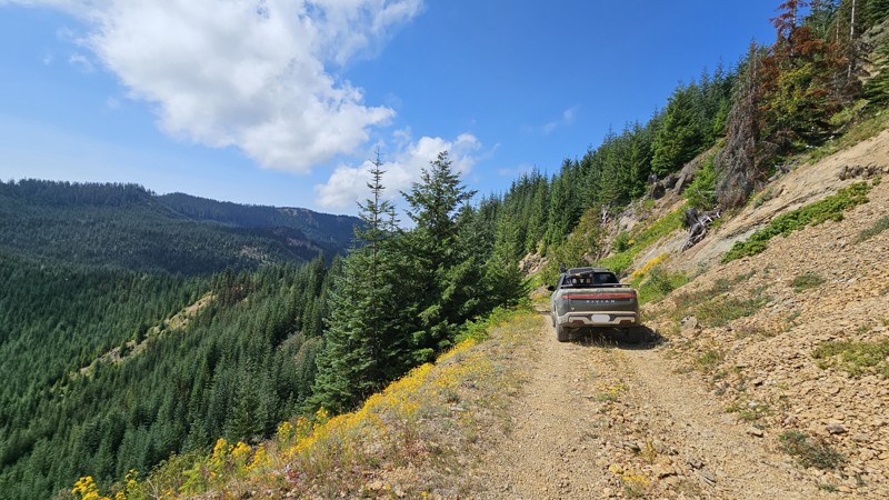
Updated: 10/15/2024
Mt. Baker-Snoqualmie 380
Lester, Washington
This is a short route that leads to the Divide Ridge single-track trail. The trail isn't immediately apparent where it is shown on the map. It traverses a ridgeline before splitting and curving slightly south around the side of the ridge. The southern spur dead-ends into a fairly tricky spot to turn around, so it may be best to check it out on foot unless you're comfortable backing down away. If you take the split to the north, it carries on along the side of the ridge through some relatively loose rock and dirt with a decent campsite at the end.
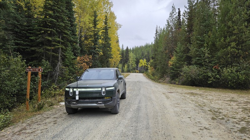
Updated: 10/29/2024
South Beaver
Ruby, Washington
South Beaver is a straight-through gravel road connecting Beaver Creek campground and FR 42. The road is suitable for any vehicle and takes users to a couple of hiking trailheads for Middle Beaver Creek Trail and Bear Mountain Trail. This road also offers access to the Beaver Summit Road offshoot. Along the drive, you will find several large open areas suitable for dispersed camping.
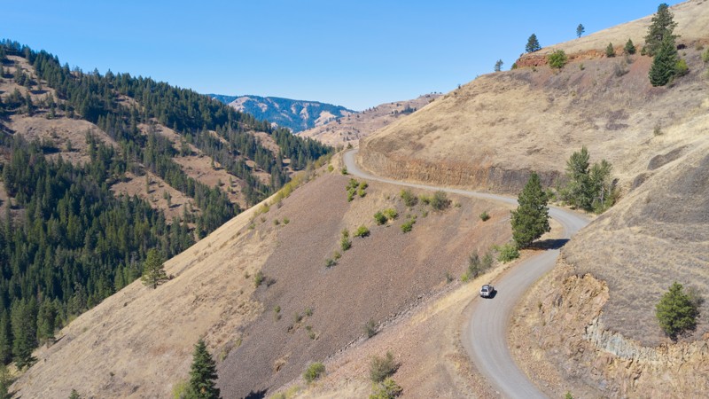
Updated: 11/30/2025
Tiger Creek
Kooskooskie, Washington
Tiger Creek is an easy yet exciting road that winds deep into the northwestern edge of the Umatilla National Forest, just a short drive from Walla Walla. The road itself is not technical, but it deserves respect. It’s a wide shelf road with steep drop-offs, where a moment of complacency could turn serious. There is plenty of washboarding, so airing down your tires is highly recommended, especially if you plan to continue deeper into the forest for more overlanding. Since it’s national forest land, you can generally camp anywhere, but only a few established campsites dot the route. Tiger Creek is the perfect starting point for those wanting an approachable drive with big wilderness payoff, a road that invites both casual explorers and seasoned overlanders into the heart of the Umatilla.
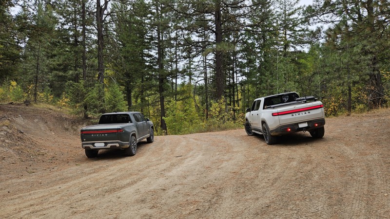
Updated: 10/29/2024
Peacock Mountain
Ruby, Washington
Peacock Mountain Road is an easy, hard-packed dirt road that travels across the southern slopes of Peacock and Little Peacock Mountain. It doesn't take you up the mountain, but it does connect you from South Fork Salmon Creek Road to Loup Loup Canyon Road. Along the road, you will find one large, open campsite.
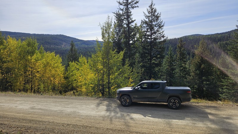
Updated: 11/06/2024
Toats Coulee Connector
Loomis, Washington
This two-lane wide gravel road is a simple connector from the South Fork Toats Coulee Road to FR 39. It offers a pretty drive with plenty of lovely views to keep you entertained for its short distance.
Toats Coulee Connector is part of section 6 (Conconully to Canada Border) of the Washington Backcountry Discovery Route (WABDR), a scenic 575-mile mostly offroad route from the Oregon state line to the Canadian border.
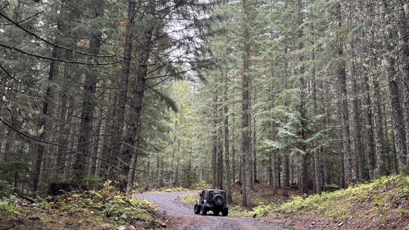
Updated: 11/07/2025
Lava Creek
Packwood, Washington
Roughly five miles east of Packwood, Forest Service Road 46 branches off toward Clear Fork Trail #61 within the Goat Rocks Wilderness. The route offers several quality dispersed campsites capable of accommodating three to five vehicles. Three of these camps are located near the junction with Purcell Creek Road #4610, one is along the Lava Basin spur, and another is just inside that spur.
The roadway consists of firm, well-packed gravel and follows a steady incline as it winds through open forest, providing views into the trees. A bridge over Dam Creek provides access to a dirt path leading to a refreshing spot where the family can cool off or explore the creek’s banks.
Canyon Spur extends to a broad clearing that, on clear days, reveals views of the valley below and the distant slopes of Mount Rainier. The overgrown continuation of this spur invites adventurous hikers seeking a quiet challenge. In contrast, the Dam Creek spur is narrow and difficult to enter, offering no camping opportunities but a vigorous hike for those willing to attempt it. Stack 7 Spur holds a small campsite tucked just beyond the tree line. Beyond this point, the main road bends sharply left and begins its steepest part of the route.
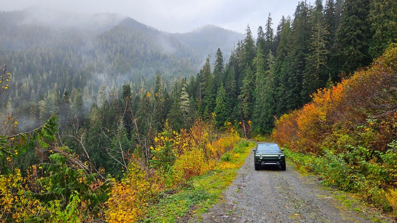
Updated: 11/07/2025
FS 2204-190
Norwood, Washington
Forest Road 2204-190 branches off from the main 2204 and climbs steadily into the hills of the southern Olympic National Forest. The drive begins easily enough, with sections of gravel and dirt, through a section called Hope Meadow, which is particularly scenic in autumn, with vivid fall foliage standing out in a clear alpine meadow. It then resumes its winding path through denser forest sections.
It becomes progressively rougher as you ascend, and there’s little to no maintenance here, so drivers should expect rocks and downed trees, washouts, and uneven terrain. The road is currently blocked by a landslide just before Burlap Pass, located at approximately coordinates 47.46433, -123.64856. The road narrows considerably as you progress toward the landslide, with few turnouts for passing or turning around.
There are a couple of pullouts wide enough for camping as you ascend, though no official campgrounds
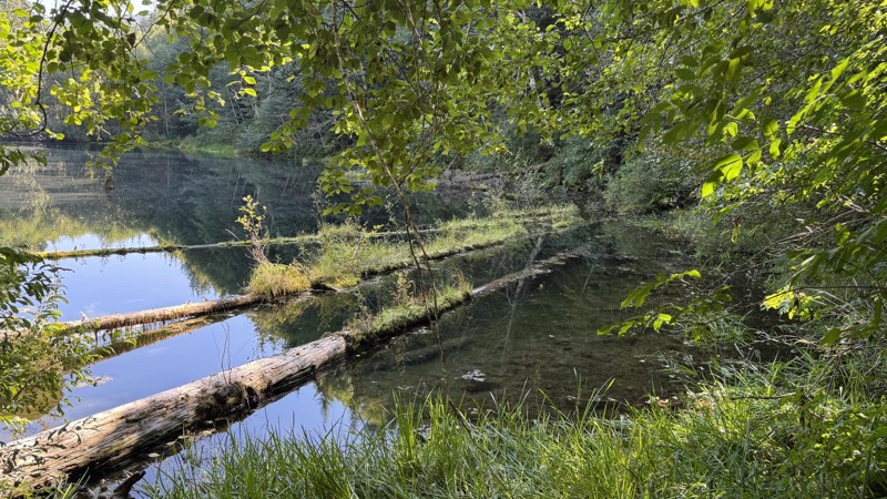
Updated: 10/09/2025
Hager Lake
Packwood, Washington
Hager Lake Road (FS 4830) is a scenic forest route connecting Snyder Road to Hager Creek, winding through dense evergreens and past a string of small alpine lakes tucked into the foothills. Starting from the Packwood side, the trail begins just beyond the Packwood Lake trailhead, which offers facilities and access to the popular 4.5-mile hike into Packwood Lake. The road climbs steadily up a ridge before flattening out into a shaded valley lined with mossy rock formations and ferns. Around the 3.5-mile mark, travelers reach the spur to Art Lake, where several dispersed campsites provide peaceful forest camping right near the water. Continuing toward Hager Lake, the surface remains mostly smooth gravel with a few rutted patches and a short moderate hill climb near the southern end. The approach to Hager Lake narrows through thick vegetation and crosses a few small wet areas, where runoff can leave the surface muddy but manageable. A short spur leads directly to the lakeshore, where limited parking and a handful of quiet campsites make for a serene overnight stop. From here, a brief walk up the main road reveals the exit toward Hager Creek Road, marking the transition to steeper and rougher terrain where a high clearance, 4WD vehicle is highly recommended. Overall, this is an easy forest drive that rewards travelers with solitude, cool mountain air, and a string of hidden lakes perfect for a peaceful weekend escape.
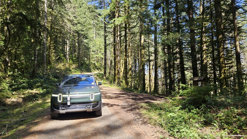
Updated: 10/01/2025
D-1500
Porter, Washington
D-1500 is a mostly dirt road in Capitol State Forest that branches off from D-1000, providing access to the Fuzzy Top Trailhead. The road is narrow and winding, with sections that may be challenging for larger vehicles. The road connects with the Fuzzy Top Trailhead, a short 0.7-mile hiker-only trail that offers a quick ascent to a viewpoint.
Capitol State Forest can have active logging operations, so be sure to pay attention and watch for heavy machinery and trucks while exploring the forest. There is no dispersed camping allowed in Capitol State Forest; the only camping permitted within the forest is in official campgrounds, so please ensure that you have a plan for that if you need a place to stay for the night.
Capitol State Forest is an 11,000-acre forest packed with roads and trails and specific opportunities for recreational purposes. Please see https://www.dnr.wa.gov/Capitol for up-to-date info and closures relating to this location and any restrictions on activities.
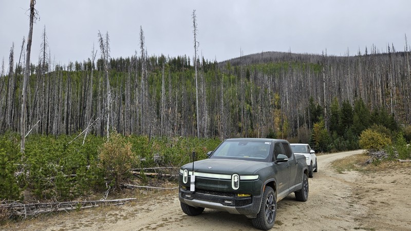
Updated: 11/19/2024
Mid Beaver
Ruby, Washington
Traveling through large burn scars from 2015, Mid Beaver is a spur loop off Starvation Mountain primarily used to access the Beaver Lake hiking trail. Although easy and mostly hard-packed soil, the burned deadfall and regenerating forest have created tight squeezes through thick brush along this trail, virtually guaranteeing some pin-stripping in your vehicle's paint. On your way up or down from Starvation Mountain, take a quick detour and check out Mid Beaver, where you have a distinct possibility of encountering cattle.
Along this road, two or three campsites are available, and pullouts are common enough to make meeting someone coming in the other direction manageable.
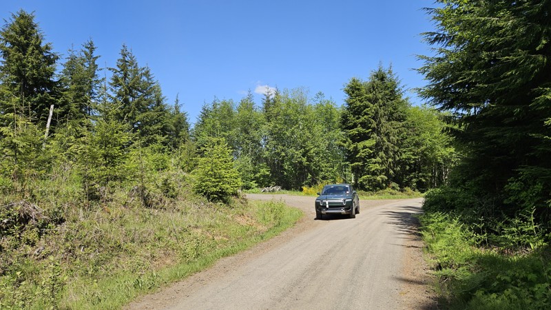
Updated: 10/01/2025
B-5000
Delphi, Washington
B-5000 is a short, gravel connector road running roughly north-south between B-Line and an intersection of C-4000/C-4700. It's a peaceful wooded drive, with only a few spur roads off to the sides and no trail accesses.
Capitol State Forest can have active logging operations, so be sure to pay attention and watch for heavy machinery and trucks while exploring the forest. There is no dispersed camping allowed in Capitol State Forest; the only camping permitted within the forest is in official campgrounds, so please ensure that you have a plan for that if you need a place to stay for the night.
Capitol State Forest is an 11,000-acre forest packed with roads and trails and specific opportunities for recreational purposes. Please see https://www.dnr.wa.gov/Capitol for up-to-date info and closures relating to this location and any restrictions on activities.
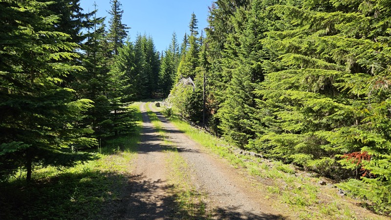
Updated: 10/15/2024
Forest Ridge
Snoquera, Washington
Forest Ridge is a super short offshoot from FS7222 that leads to a campsite. The trail is a soft forest road with very little gravel until you get to the campsite at the end. Here, you will find ample level ground and space for quite a few vehicles and ground tents.
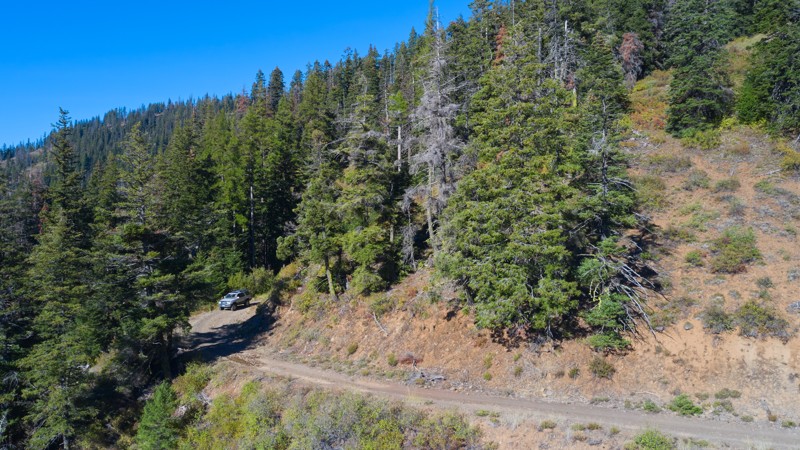
Updated: 11/30/2025
Table Spring
Kooskooskie, Washington
Forest Road 6512 is a peaceful and easy 6.5-mile out-and-back trail tucked inside the Umatilla National Forest. Much of the road winds through dense conifer forest, making it a welcome retreat on hot, dry summer days thanks to the cool shade overhead.
From time to time, the trees open up to reveal wide western vistas stretching across the valley, rewarding travelers with sweeping views that contrast beautifully with the otherwise enclosed woodland feel.
In several sections, snowbrush pushes close against the narrow track. While this can lead to a bit of paint pin-striping, the downside is softened by the strong, pleasant fragrance that fills the air. Campsites are limited along the road. Most of the good pull-outs for tents or vehicles are located near the trail’s start and end points.
The trail itself is straightforward and non-technical, making it accessible to most drivers, but its narrow profile does mean passing opportunities are few and far between. All in all, Forest Road 6512 is a quiet, shaded escape into the Umatilla, with a mix of forest seclusion and valley views that make it well worth exploring.
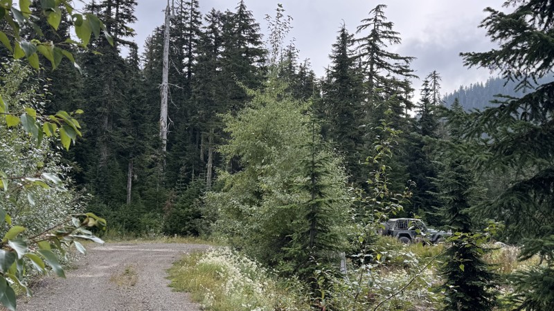
Updated: 11/15/2025
Collar
Longmire, Washington
Collar is a short, out-and-back spur off Horse Creek, tucked just south of Mount Rainier National Park. The narrow single-vehicle track winds through dense forest on coarse gravel, but years of water erosion have carved deep ruts into the surface, demanding slow, careful navigation. Pinstripes are almost unavoidable here, and the soft shoulders make this route unsuitable for vehicles wider than 74 inches or those carrying bulky roof or side-mounted gear. The trail ends at a roomy, flat campsite perched with excellent views, making the squeeze worthwhile.
Seasonal access to this road depends on FS 52 “Skate Creek,” which closes due to snow. Check with the Cowlitz Valley Ranger District at (360) 497-1100 for current conditions before planning a trip.
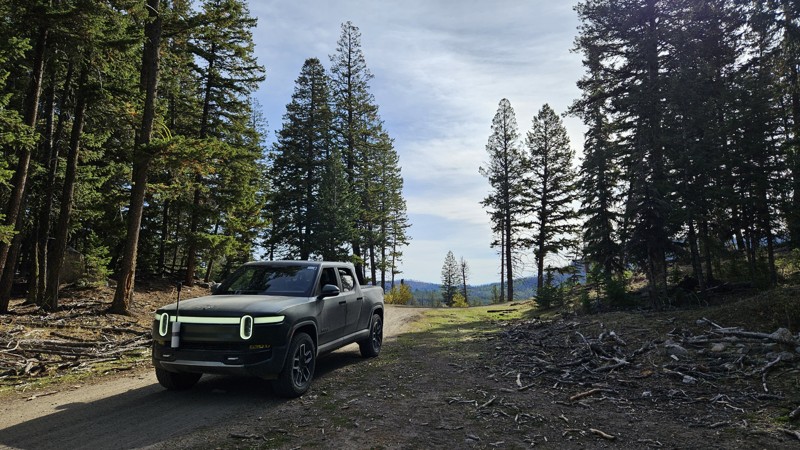
Updated: 11/06/2024
Cougar Creek Road
Loomis, Washington
Cougar Creek is a 3-mile stint that descends off the Skull and Crossbones ridge to the Toats Coulee Road. It's a well-maintained dirt and gravel road with a single pull-off suitable for a campsite near the north end.
The road runs through active timber harvesting and cattle grazing areas, so users should pay close attention to large trucks and cows on the road or passing their camp.
Cougar Creek is part of section 6 (Conconully to Canada Border) of the Washington Backcountry Discovery Route (WABDR), a scenic 575-mile mostly offroad route from the Oregon state line to the Canadian border.
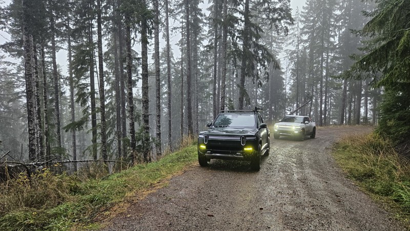
Updated: 11/20/2025
Prairie Creek W Bound Crossover
Smith Place, Washington
Prairie Creek W Bound Crossover (Forest Road 2140) connects West Boundary Road (FS-21) to FS-2190 as a narrower gravel route winding through dense forest. The road carries a slightly brushier feel than other nearby routes, though vegetation generally stays clear of the travel lane.
Several small creeks and waterfalls cross perpendicular to the road, adding consistent water features along the drive. A few dispersed camping pull-offs are available along the way.
One section crosses a large culvert that appears to have cracked, causing the road surface above it to begin settling; this area is currently marked with a stick and orange flagging to draw attention. The route travels along slopes that would offer attractive views during clear weather, though visibility can often be limited with the weather in the rainforest.
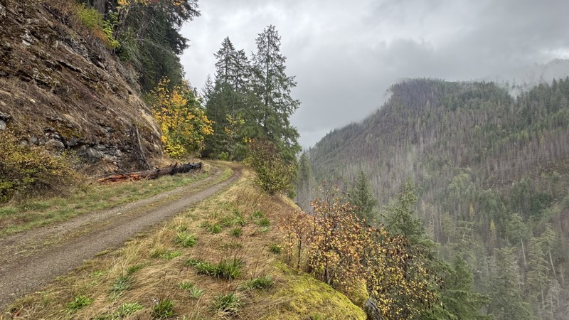
Updated: 11/07/2025
Purcell Creek
Packwood, Washington
Purcell Creek begins as a wide gravel road winding through an old burn scar, where blackened trunks stand like quiet monuments among the recovering forest. As the miles roll by, the surface narrows and changes in character, with mud and decomposing forest debris blending into the gravel to form soft, uneven stretches broken by patches of exposed rock.
The first campsite appears near the intersection with Lava Creek, with additional camping spots found both before and after the Bluff Spur. Beyond this point, the road becomes a narrow shelf road that hugs the hillside, offering steep drop-offs into the valley below. Occasional wide pullouts on the uphill side allow for passing, though full-size vehicles may collect light pinstriping from the brush that closes in along the upper sections.
The trail eventually ends at a washout where travel continues only on foot. The turnaround area at the terminus is large enough for four full-size trucks to maneuver with care. From the exposed shelf sections along the way, sweeping views of Coal Creek Canyon open up below. Whether bathed in sunlight or veiled in mist, the canyon’s scale and solitude offer a powerful reminder of the wilderness this road explores.
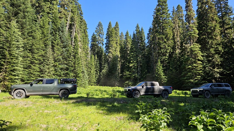
Updated: 10/15/2024
Forest Lake NFD410
Snoquera, Washington
Forest Lake NFD410 is a short, dead-end jaunt off of Forest Lake NFD7222. It offers a connection to NFD510 and a campsite at the end. The trail is buried pretty well in the trees, so you won't find many views, but it is a peaceful spot to hang out for a while.
You will find one intersection with the Noble Knob hiking trail right by the Y intersection with 510, but there isn't anything that seems obvious, and there are no viable parking spots, so you might have to improvise if you wish to start your hike here.
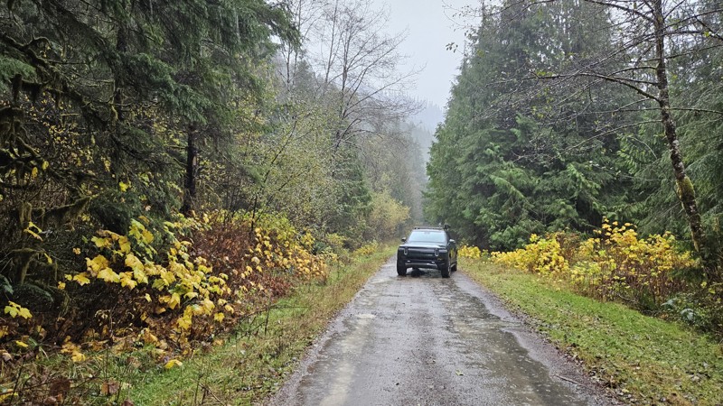
Updated: 01/05/2026
FS 2160
Smith Place, Washington
Forest Road 2160 in the Olympic National Forest is an out-and-back gravel and dirt road that follows a narrow forested drainage, with numerous creeks and small waterfalls crossing or paralleling the road.
The drive includes several small pull-offs suitable for dispersed camping, and the surrounding terrain is steep and heavily wooded. Portions of the road pass through areas of recent logging, which can leave the surface muddy or rutted until it settles.
FS-2160 is prone to blowdowns and washouts, and access may be limited depending on seasonal conditions or storm impacts.
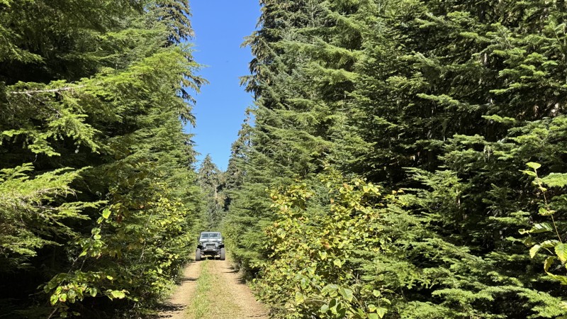
Updated: 10/09/2025
Peanut
Packwood, Washington
Tucked deep in the forest at the edge of the Goat Rocks Wilderness, Peanut Trail (4840) is a peaceful out-and-back route that delivers the kind of quiet seclusion only a dense mountain forest can provide. The road winds through tall evergreens so tightly packed that it often feels like driving through a green-walled canyon. The gravel surface is smooth and easy to navigate, with only occasional puddles or soft patches to slow your pace. Near its end, the trail climbs along a narrow ridge where steep drop-offs hide just beyond the trees, rewarding those who take a moment to explore with glimpses of the surrounding wilderness. The route concludes at a large, tree-enclosed clearing perfect for dispersed camping, with three faint footpaths leading farther into the woods. While sweeping views are limited by the canopy, the solitude and stillness here more than make up for it. This easy drive is suitable for any stock, high-clearance 2WD vehicle and requires no prior off-road experience, making it an ideal escape for anyone looking to unwind in the heart of the forest.
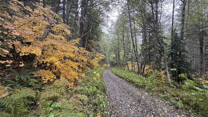
Updated: 11/30/2025
Divide
Longmire, Washington
Divide is a straight-through connector road linking Forest Roads 52 and 84. The road follows a gentle grade composed of well-compacted gravel. During autumn, the golden foliage creates a vivid contrast against the surrounding evergreens, and intermittent warm air pockets lift mist from the cooler, low-lying areas. The drive is relaxed and scenic, offering a tranquil environment for a visit to the forest.
Approximately halfway through the trail, a notable campsite is located near the junction with Road 5240-049, which has been blocked to through traffic. The site occupies an open clearing with a secluded rear area and lies close enough to Skate Creek for the sound of flowing water to be heard.
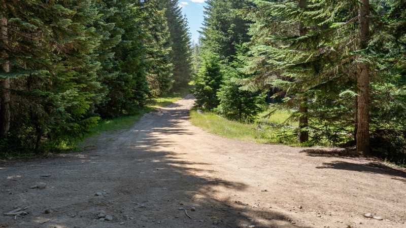
Updated: 08/11/2025
Stump Bypass
Cougar Valley, Washington
Forest Road 7068, is an easy dirt road primarily used as a bypass or bailout route to the toughest section of the Naches Trail, allowing users to bypass the Stump obstacle completely. This parallel road snakes through dense pines along a hard-packed dirt surface with small protruding rocks, shallow erosion ruts, and occasional potholes. There are a few moderately steep climbs, but it is suitable for any high clearance vehicle, and 4WD is likely unnecessary in dry conditions.
A few dispersed campsites can be found along the trail, suitable for one or two vehicles and ground tents.
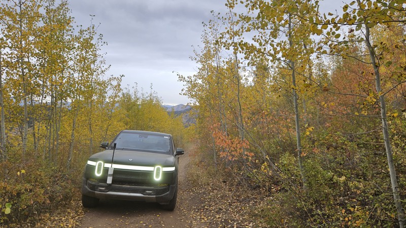
Updated: 11/06/2024
West Fork Buzzard Lake Road
Ruby, Washington
West Fork Buzzard Lake Road is a short, rough road that travels past four listed mine sites. The Arlington mine is the only mine with any remaining evidence of activity, though it is now used as a cattle grazing and gathering area with a water trough placed near the former mine. First Chance Mine, Last Thought Mine, and Fourth of July Mine are listed on maps, but there is no evidence of them on the ground. Although the road is suitable for a high-clearance 2WD, the dust and loose rock will make 4WD a better option if available. The largest camping spot along the road is right by the Arlington Mine, and cows share the space for part of the year and leave evidence of their presence year-round. After the Fourth of July Mine, the road continues south as Buzzard Lake Road.
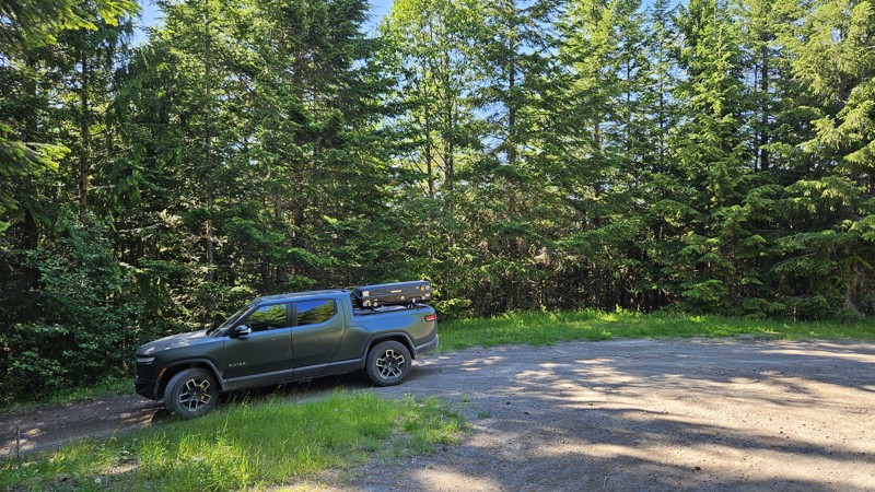
Updated: 10/15/2024
Forest Spring
Snoquera, Washington
Forest Spring is a short connecting road that makes for a really peaceful drive through the woods, offering one or two suitable campsites. The soft dirt road makes for a really smooth and quiet drive.
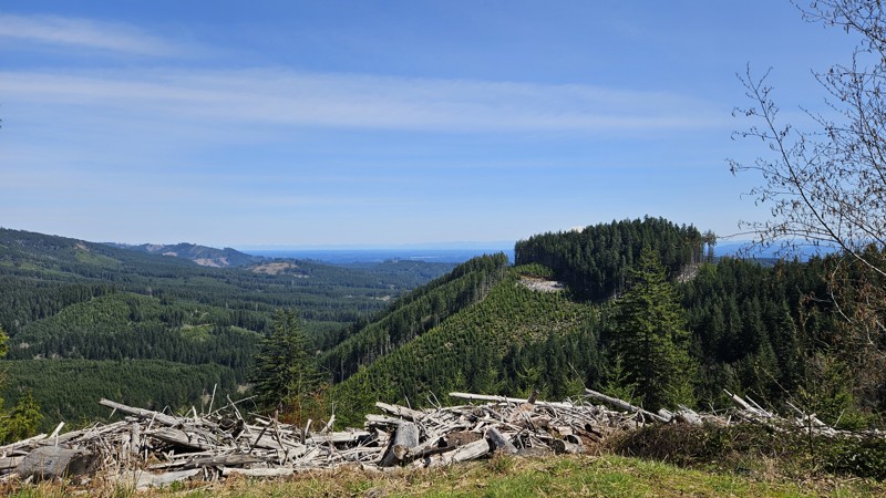
Updated: 10/01/2025
D-1510
Bordeaux, Washington
D-1510 is a tiny dirt road that takes you to the back side of Fuzzy Top Mountain. There is no access to the hiking trail from this road, and while the road does technically continue, the logical end to this road is a larger section with a campfire ring and an unofficial dirt backstop that has been used as a short firing range. If you continue past the fire ring, the road deteriorates quickly, and high clearance with a good approach/departure angle will be needed to get you turned around.
Capitol State Forest can have active logging operations, so be sure to pay attention and watch for heavy machinery and trucks while exploring the forest. There is no dispersed camping allowed in Capitol State Forest; the only camping permitted within the forest is in official campgrounds, so please ensure that you have a plan for that if you need a place to stay for the night.
Capitol State Forest is an 11,000-acre forest packed with roads and trails and specific opportunities for recreational purposes. Please see https://www.dnr.wa.gov/Capitol for up-to-date info and closures relating to this location and any restrictions on activities.
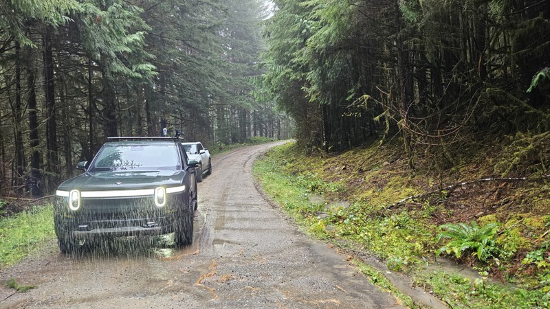
Updated: 11/20/2025
FS 2180
Smith Place, Washington
Forest Road 2180 in the Olympic National Forest begins as a gravel route with several stretches of older pavement mixed in. This quick out and back road crosses a series of small creeks and drainages, offering frequent views of flowing water and occasional waterfalls tucked between the trees.
The surrounding forest is a mix of evergreens and deciduous species, creating a varied canopy that shifts noticeably with the seasons. Several small pull-offs suitable for camping can be found along the drive, and a larger camping area sits at the end of the road.
Overall, FS-2180 is a quiet forest road with consistent scenery and easy access to water features throughout its length.
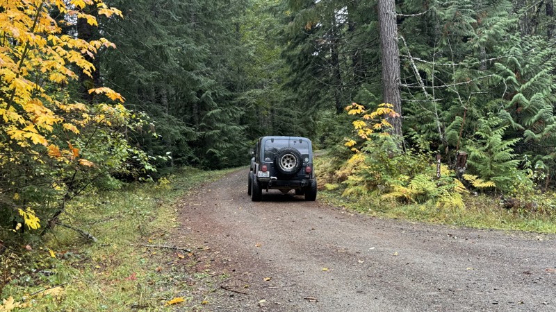
Updated: 11/07/2025
Willame Lake
Packwood, Washington
William Lake is an out-and-back road that ascends to an elevation of approximately 4,260 feet, offering expansive views of the northeast to southeast mountain ranges. The route consists primarily of an easy gravel road with several campsites located along its upper sections. At its end, the road opens into a large, unexposed area protected by trees on the southwest and west sides, providing shelter from prevailing winds. From this point, a short and uncomplicated scramble leads to the peak, which offers panoramic 360-degree views. The relaxing stroll can be made via an abandoned road that follows the ridge northward. To the northeast, portions of Long Road (#4740) are visible across the ravine.
William Lake connects with the Hood Berry loop, which descends through a canyon and follows the natural ridgeline before rejoining Forest Road 47. Turning left on FR 47 provides additional route options, including access to Highway 12 and the town of Randle, Washington via FS 63. The western end of FR 47 terminates at East Fork Silver Creek, where the bridge has been washed out. Turning right returns travelers toward Skate Creek Road and Packwood, Washington.
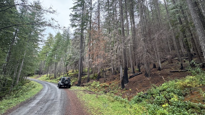
Updated: 11/07/2025
Bluff
Packwood, Washington
Bluff Road is a well-graded gravel route that climbs steadily through dense forest before ending at the Bluff Lake Trailhead. As the elevation increases, breaks in the canopy reveal sweeping views of the valleys below, offering a peaceful and scenic drive. Along the way, bursts of seasonal color appear where deciduous trees mingle with evergreens, adding a rare contrast for this part of the “Evergreen State.” The road’s smooth surface and gentle grades make it an enjoyable route for most vehicles, with plenty of quiet pullouts for taking in the forest scenery.
No existing campsite can be found along this route, but several nearby roads offer camping options. One campsite is located along the main Bluff route, another near the Purcell and Bluff intersection, and three additional spots close to the junction with Purcell Creek Road #4610.
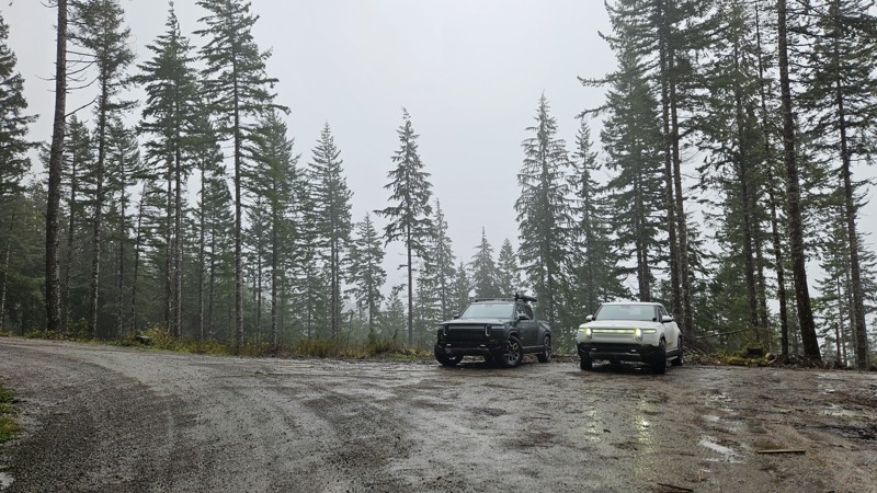
Updated: 11/20/2025
FS 2170
Smith Place, Washington
Forest Road 2170 in the Olympic National Forest is an easy, well-maintained gravel road that gradually climbs through a densely forested drainage.
Its condition is typically quite good, likely influenced at times by nearby or recent logging activity. The route passes numerous small creeks and seasonal waterfalls that cross under or run parallel to the road, adding plenty of scenic variety.
A handful of small pull-offs along the way offer opportunities for dispersed camping. The road ends at a gate, where a larger open area provides space likely used as an informal base camp during hunting season.
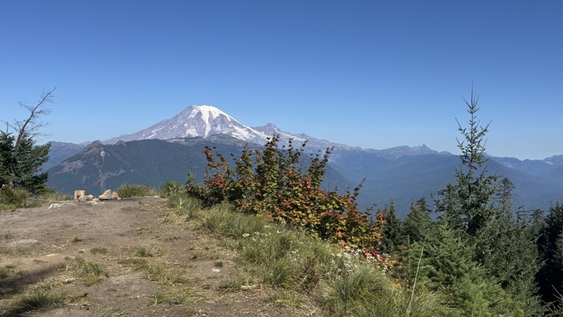
Updated: 10/09/2025
Line
Packwood, Washington
At just over half a mile in length, this short spur road provides access to three distinct campsites, accommodating between two and five vehicles. The first site sits beside Art Lake, a clear, reflective body of water surrounded by trees, with a small access point suitable for launching a kayak. The second site is larger and flatter, offering seclusion with forest cover and parking space for vehicles in front. The third and largest site is situated at the end of the spur, forming a wide circle with trees at its center. This can accommodate up to 5 rigs with a smaller area to expansive views. From this vantage point, the Cowlitz River Valley can be seen to the northwest, Mount Rainier to the north, and Packwood Lake through the trees of the Goat Rocks Wilderness to the south. Between the trees to the southwest, the peak of Peanut Road and cliffs descending into Art Lake are also visible. Maps indicate that a mine is located on the Goat Rocks Wilderness side near this site.
Updated: 01/05/2026
Bostonman CG
Driftwood Acres, Washington
Located on the north side of Cle Elum Lake, Forest Road 111, also known as Bostonman CG on some Forest Service maps, is a short, primitive camping spur along the Cle Elum River across from the Cle Elum River Campground. Although easy, a high clearance vehicle will be needed to traverse this road, as it is peppered with softball and football-sized river rocks. There are numerous campsites along the river's edge, suitable for groups of any size. The area does get fairly busy in summer, so expect potential crowds. Be sure to bring your river gear, as you can float, swim, or toss in a fishing line.
Updated: 11/07/2025
Lava Basin
Packwood, Washington
Lava Basin is a short spur branching off Lava Creek #46, offering some of the best dispersed camping opportunities in the area. This secluded route winds quietly through dense evergreens, opening up to a wide, flat clearing perfect for groups or overland setups. A smaller, more private site lies just a bit farther in for those seeking solitude. The approach is mostly easygoing, though one rough and narrow section may challenge stock vehicles or larger rigs. Beyond that point, the trail quickly tightens and becomes impassable despite recent clearing efforts. This is a peaceful destination that creates an ideal spot to set up camp, enjoy the quiet forest, and soak in the cool mountain air. Lava Basin is all about the camping, offering the kind of tucked-away charm that makes it easy to stay longer than planned.
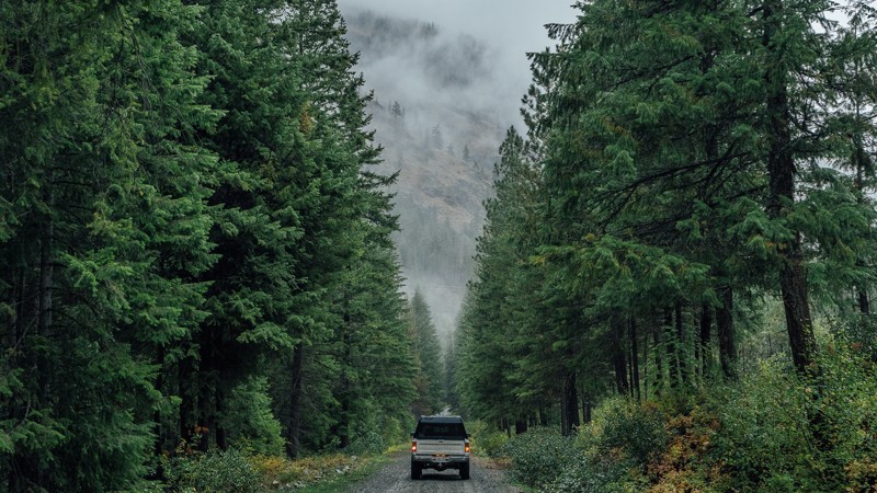
Updated: 01/15/2026
South Fork Gold Creek
Methow, Washington
South Fork Gold Creek is a quiet and scenic forest road that winds deep into the Wenatchee National Forest northeast of Chelan, following the namesake creek through a lush valley framed by towering evergreens and misty ridgelines. The well-graded gravel surface makes this route accessible to nearly any high-clearance vehicle, offering an easy but immersive backcountry drive. Occasional potholes, ruts, and washboard sections keep drivers alert, while small pullouts along the way invite exploration or dispersed camping beside the creek. Wildlife sightings are common in the early morning and late evening hours. During wet weather, the shaded forest takes on a moody, Pacific Northwest atmosphere. Whether used as a connection to higher elevation trails or simply a relaxing detour into the woods, South Fork Gold Creek is a quintessential forest road experience. It is peaceful, accessible, and beautifully remote.
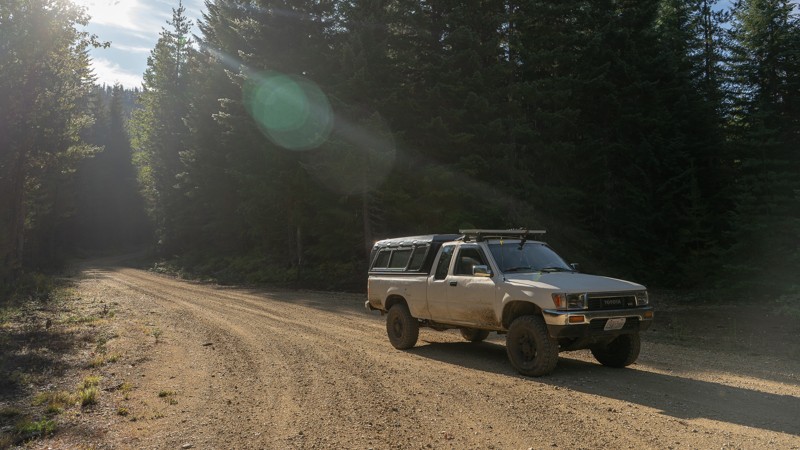
Updated: 01/15/2026
N61F Scoop
Trout Lake, Washington
N61F Scoop is a peaceful backcountry connector that winds through the dense evergreen forests of the Gifford Pinchot National Forest near Packwood, Washington. This well-maintained gravel route provides a scenic and easygoing drive beneath towering Douglas fir and hemlock, with filtered sunlight flickering through the canopy and the occasional glimpse of surrounding ridgelines. The road’s gentle grades and wide turns make it accessible for nearly any high-clearance vehicle, though washboard sections and loose gravel are common. Although dispersed camping is allowed in the area, no suitable, previously existing campsites can be found. While not technical, N61F Scoop delivers a classic Pacific Northwest forest-road experience: calm, remote, and immersed in the smell of pine and damp earth, ideal for an easy escape into the woods.
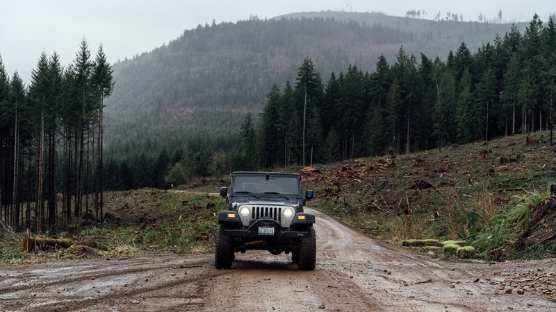
Updated: 06/10/2026
Peter Burns Road
Big Lake, Washington
Peter Burns Road is a graded, hard-packed service road that provides access to the Walker Valley ORV Park and plenty of great off-road trails near Mount Vernon, Washington. The road is riddled with potholes and is often traveled by ATVs, UTVs, dirt bikes, and other full-size 4X4 vehicles. Keep an eye out for other drivers. The road once extended all the way to Lake Cavanaugh Road, but due to land disputes, it now ends in a 3.5-mile dead end at the south end of the ORV area. The staging area on the north end offers plenty of space for trucks and trailers.
Walker Valley ORV is comprised of 3,200 acres, with twelve 4X4 trails, and many more ATV and dirt bike trails. The trails offer many challenges like rocks, roots, and ruts. These obstacles will change from season to season, with the addition of snow and rain, which can also produce large puddles and muddy stretches. From the mild to wild, Walker Valley ORV provides something for everyone.

Upgrade your Membership
Unlock all of the details on every Trail Guide and Scout Route.
Start a 7-day Free TrialCommunity
Partners