Naches Trail (30.63 miles away)
Snoquera, Washington

Roughly five miles east of Packwood, Forest Service Road 46 branches off toward Clear Fork Trail #61 within the Goat Rocks Wilderness. The route offers several quality dispersed campsites capable of accommodating three to five vehicles. Three of these camps are located near the junction with Purcell Creek Road #4610, one is along the Lava Basin spur, and another is just inside that spur.
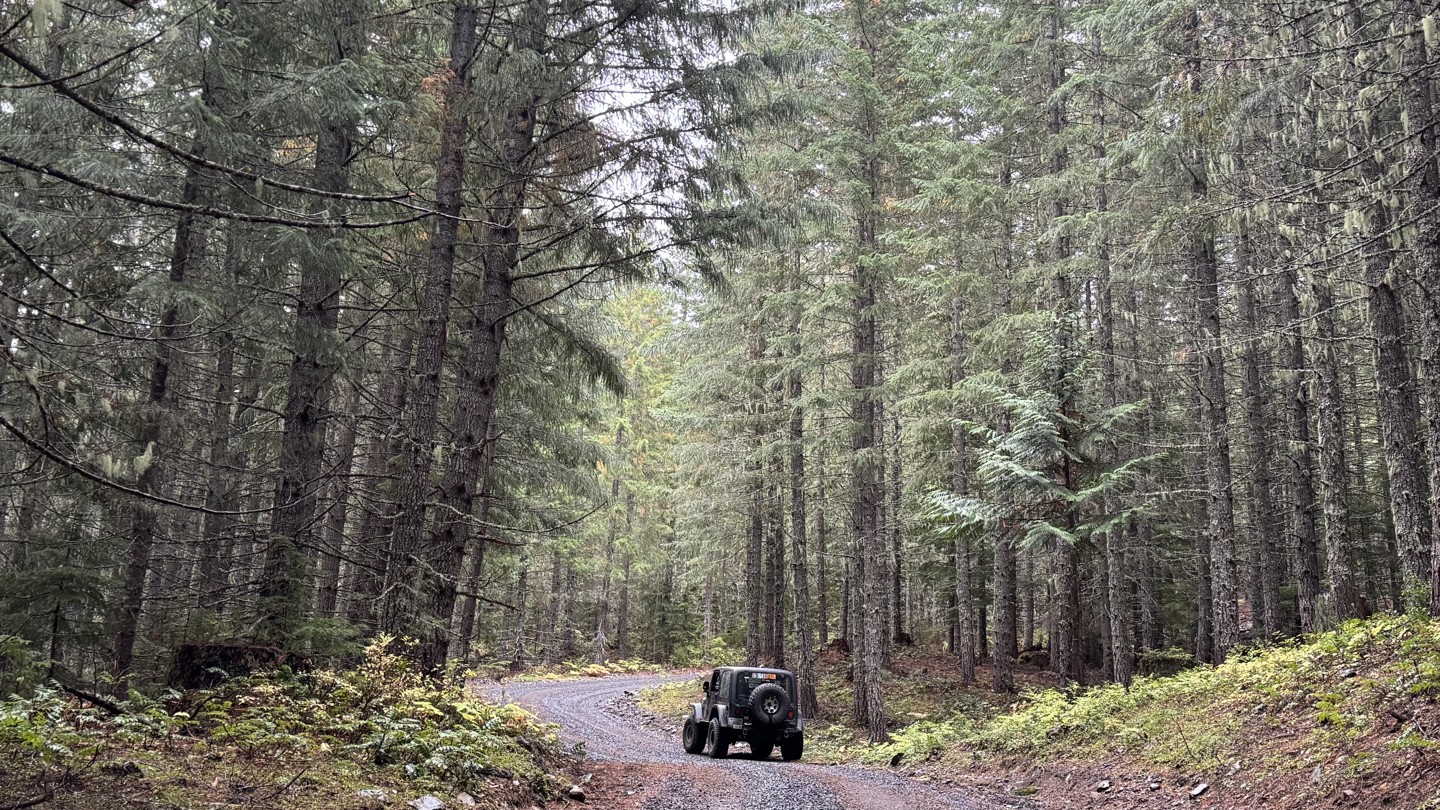
The roadway consists of firm, well-packed gravel and follows a steady incline as it winds through open forest, providing views into the trees. A bridge over Dam Creek provides access to a dirt path leading to a refreshing spot where the family can cool off or explore the creek’s banks.
Canyon Spur extends to a broad clearing that, on clear days, reveals views of the valley below and the distant slopes of Mount Rainier. The overgrown continuation of this spur invites adventurous hikers seeking a quiet challenge. In contrast, the Dam Creek spur is narrow and difficult to enter, offering no camping opportunities but a vigorous hike for those willing to attempt it. Stack 7 Spur holds a small campsite tucked just beyond the tree line. Beyond this point, the main road bends sharply left and begins its steepest part of the route.