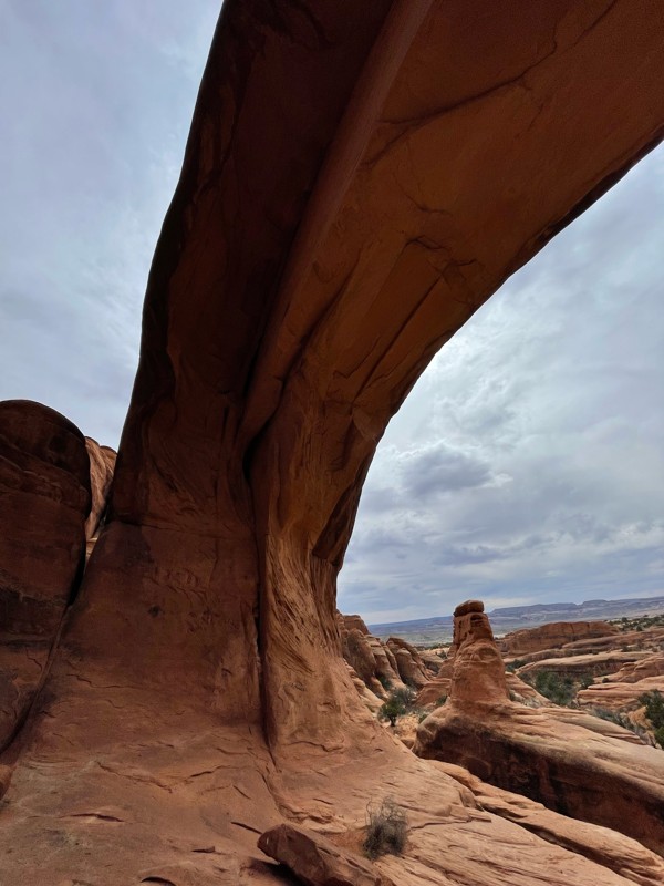
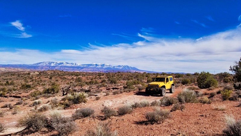
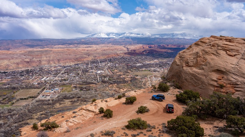
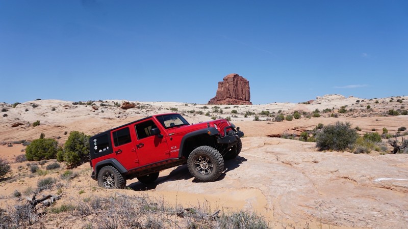
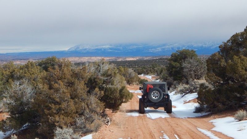
Imperial Valley - Impossible Hill
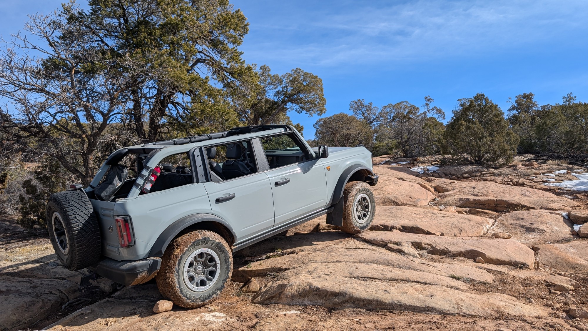
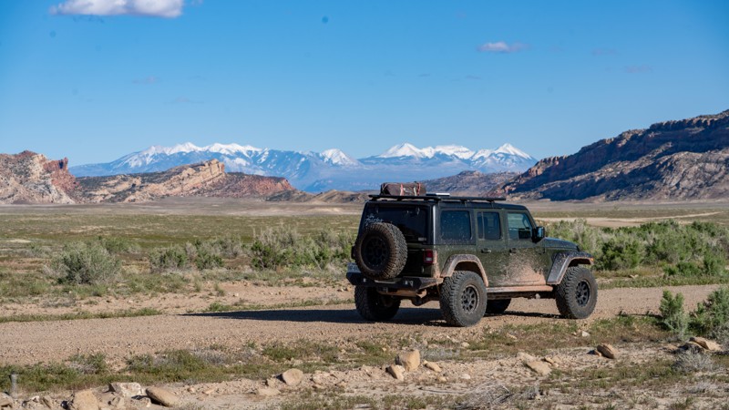
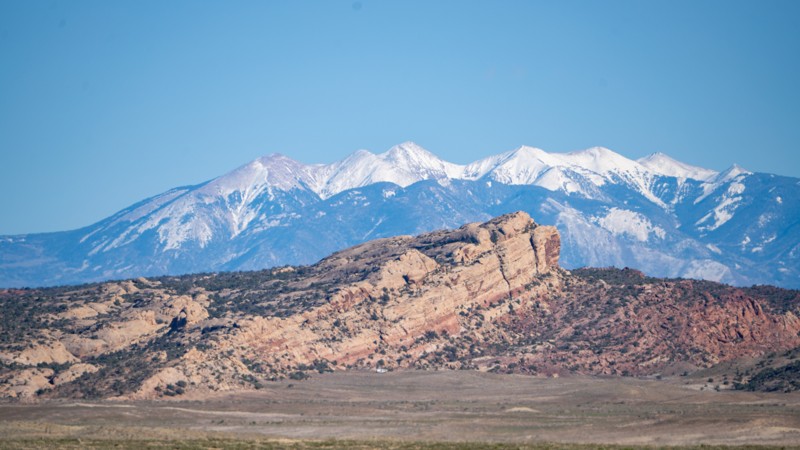
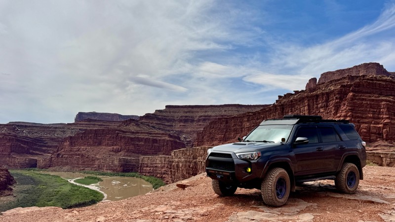
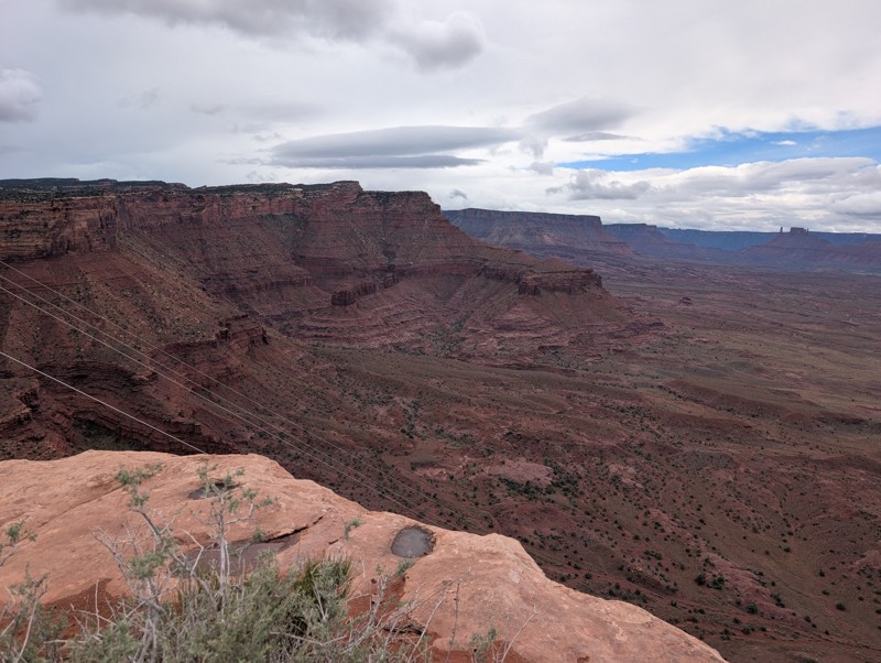
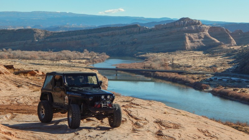
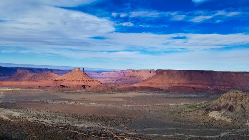
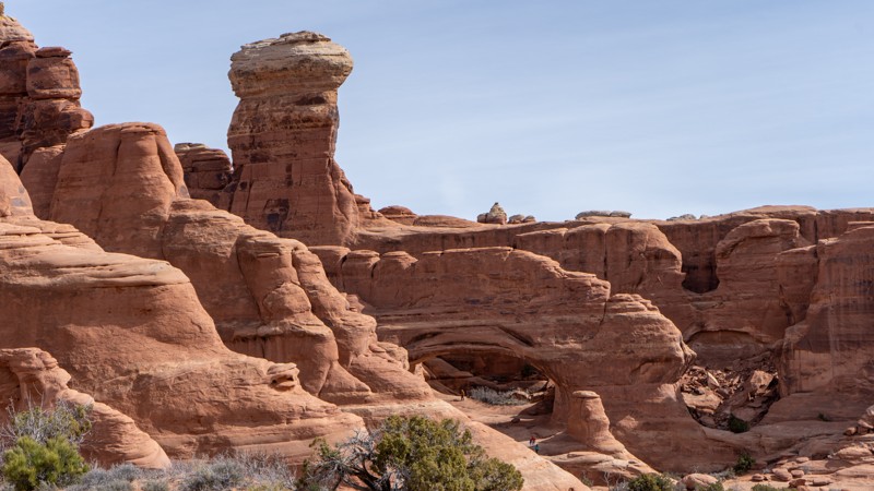
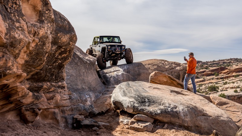
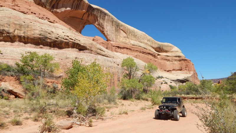
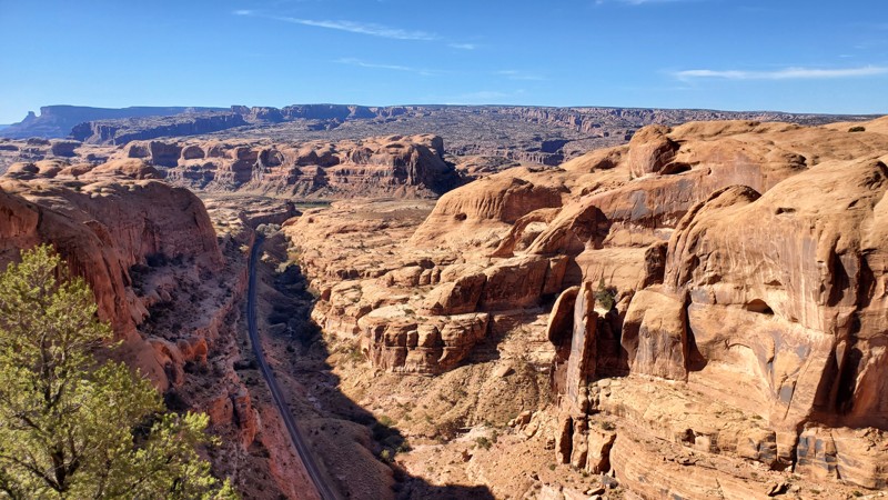
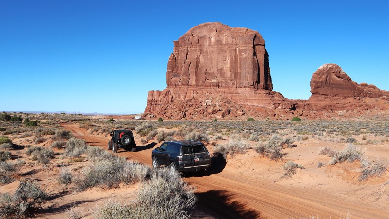
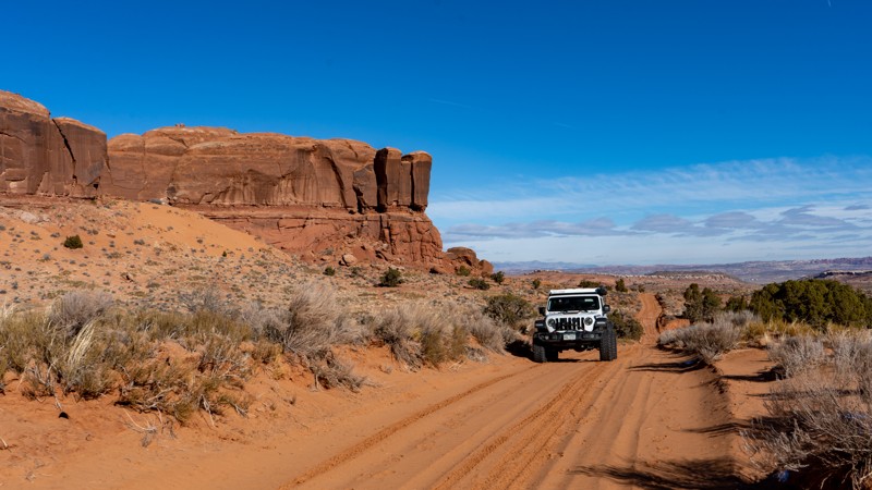
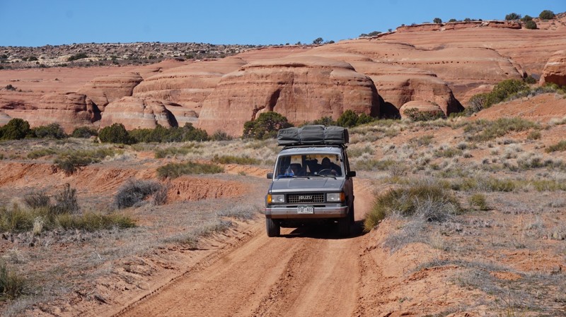
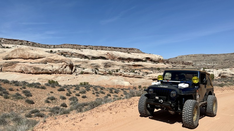
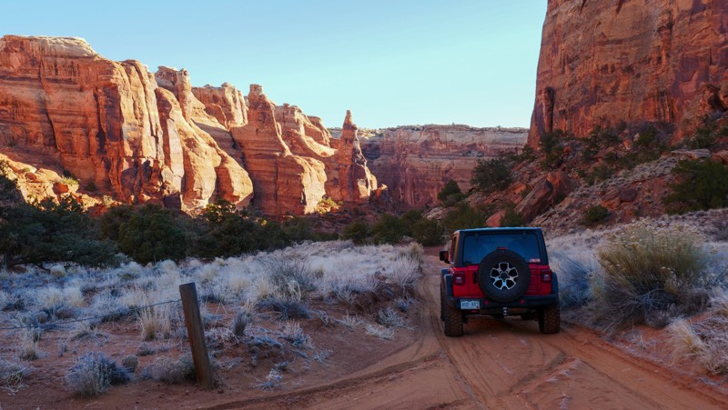
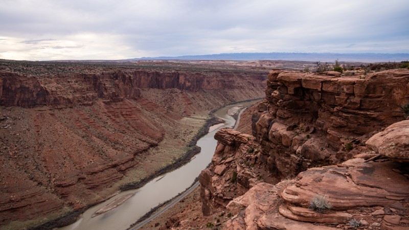
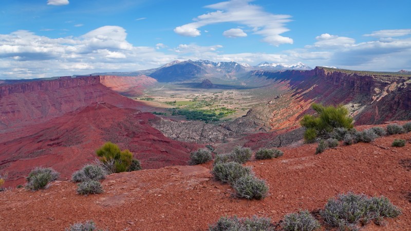
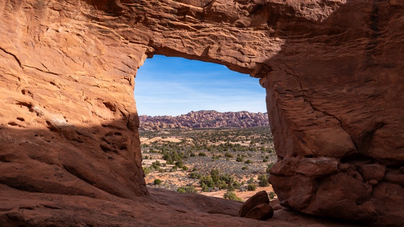
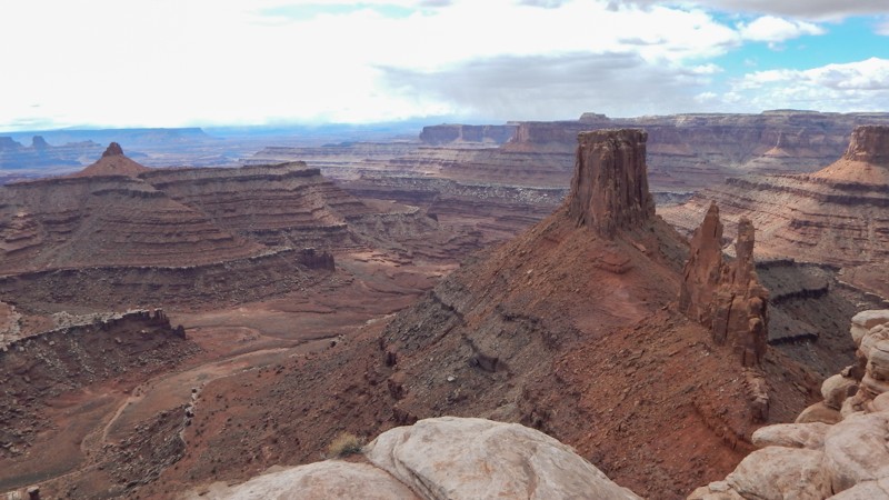
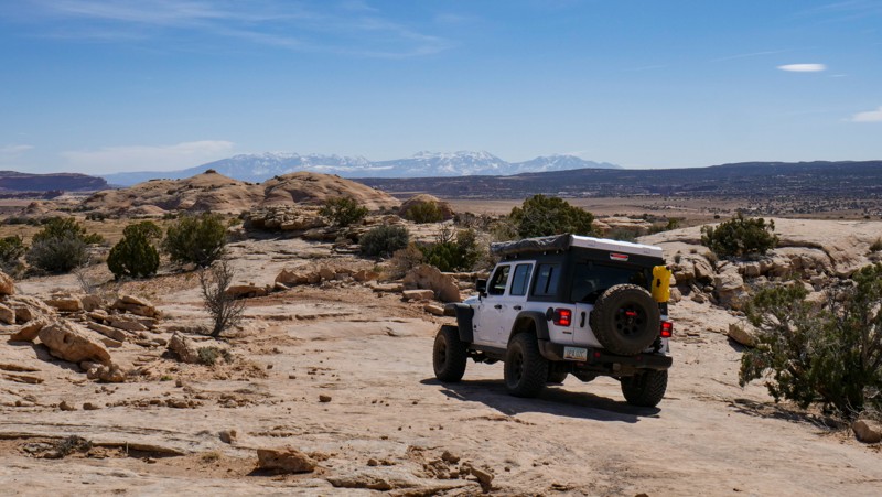
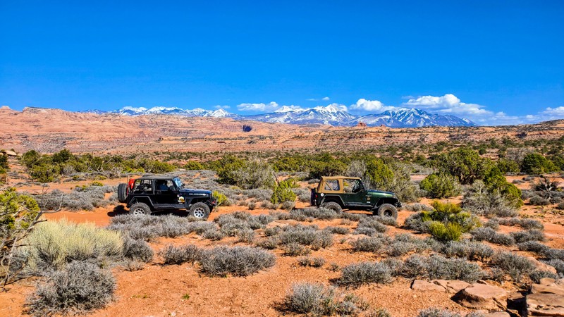
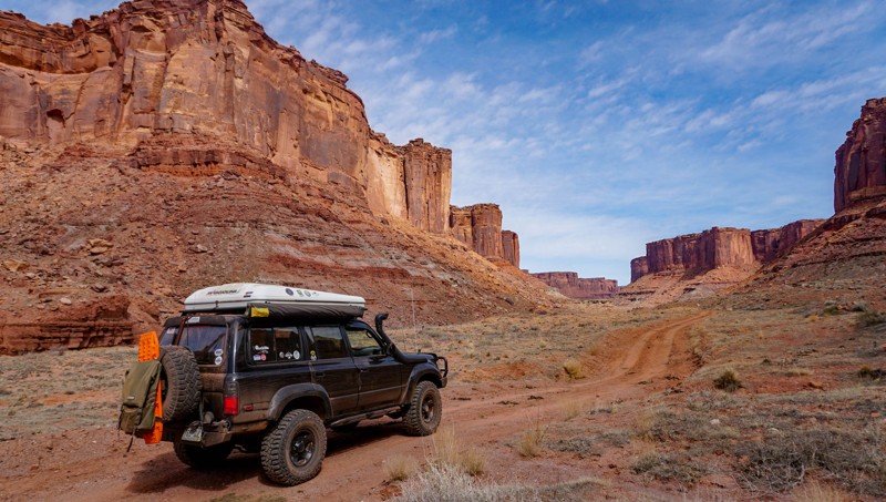
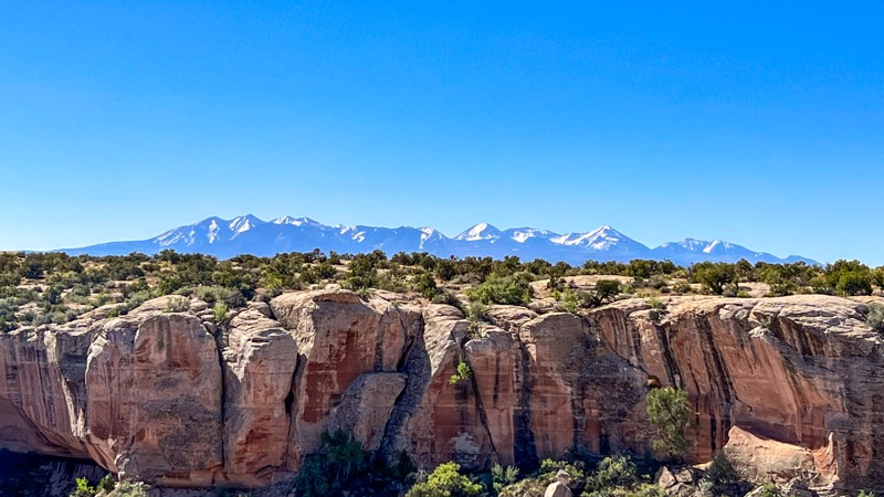
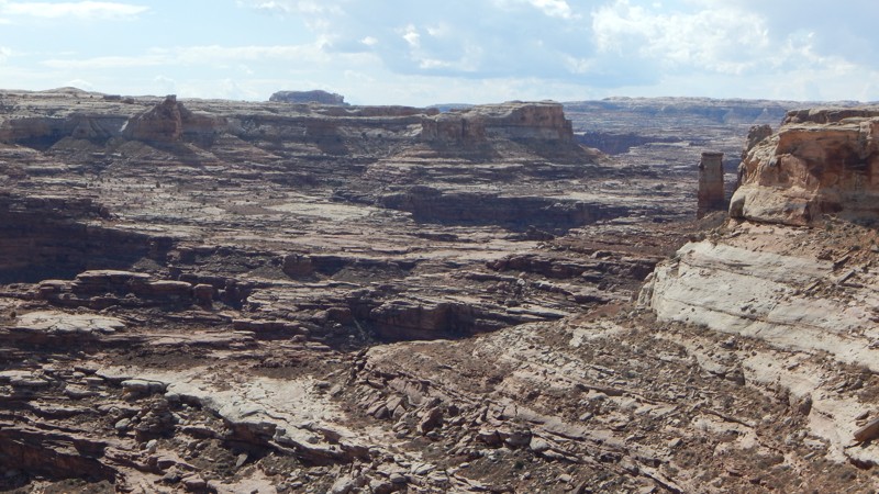
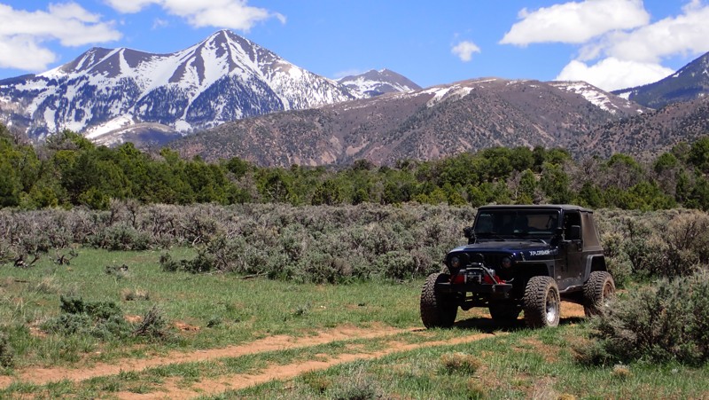
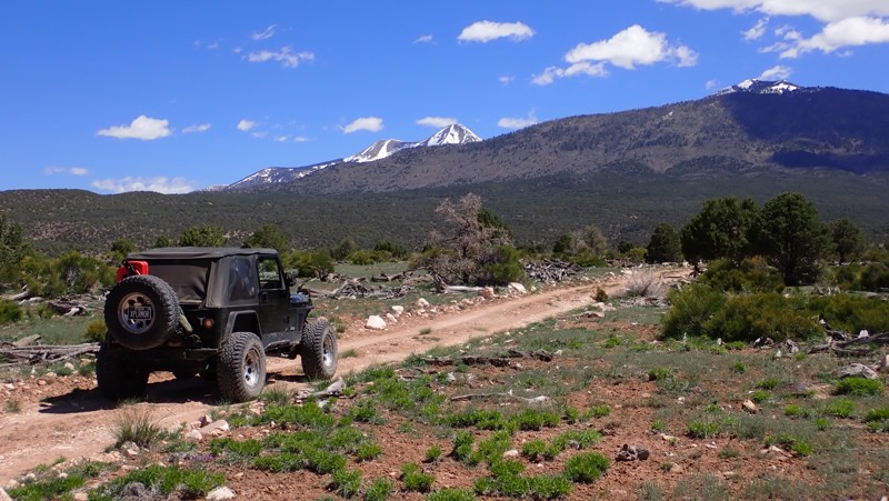
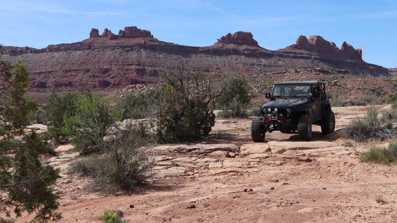
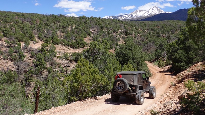
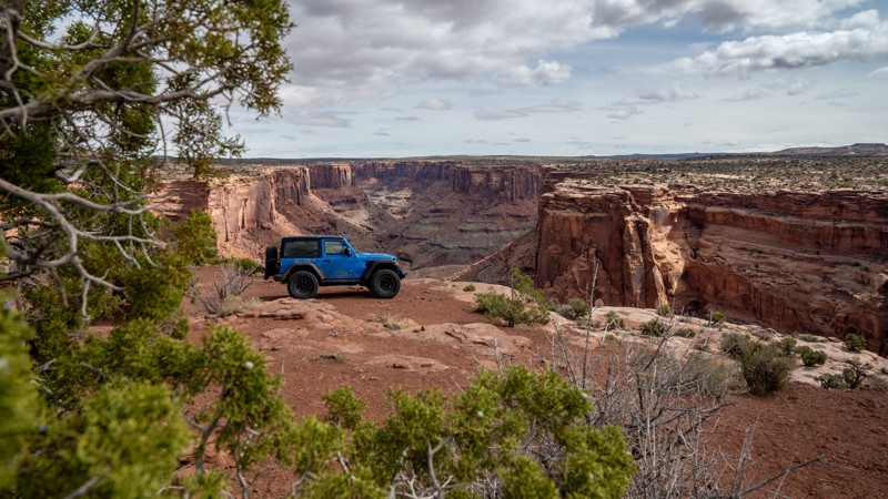
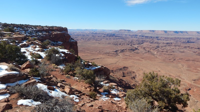
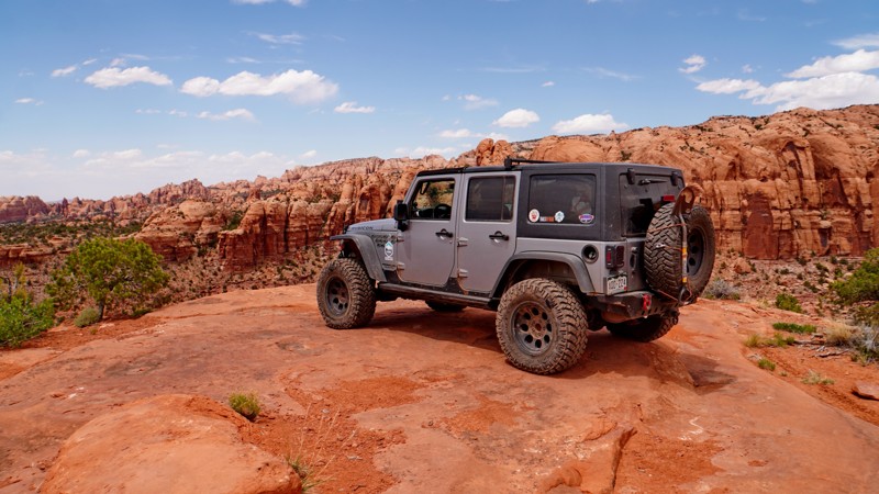
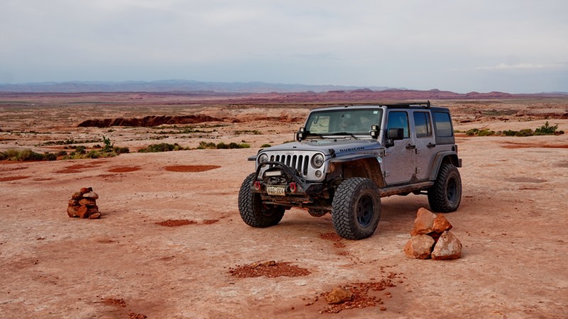
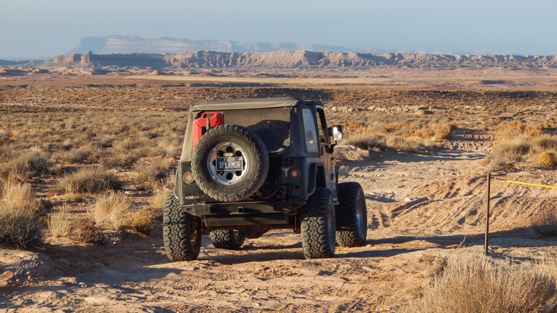
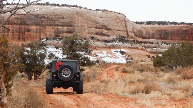
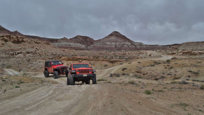
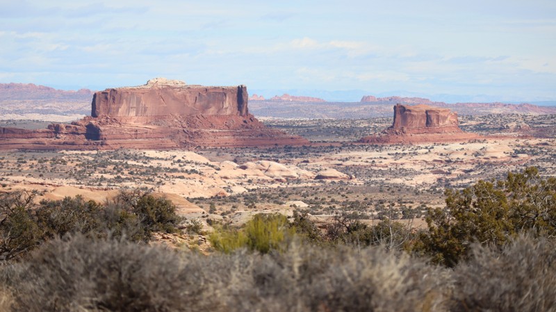
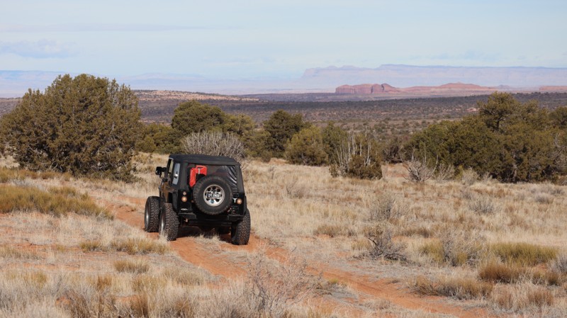
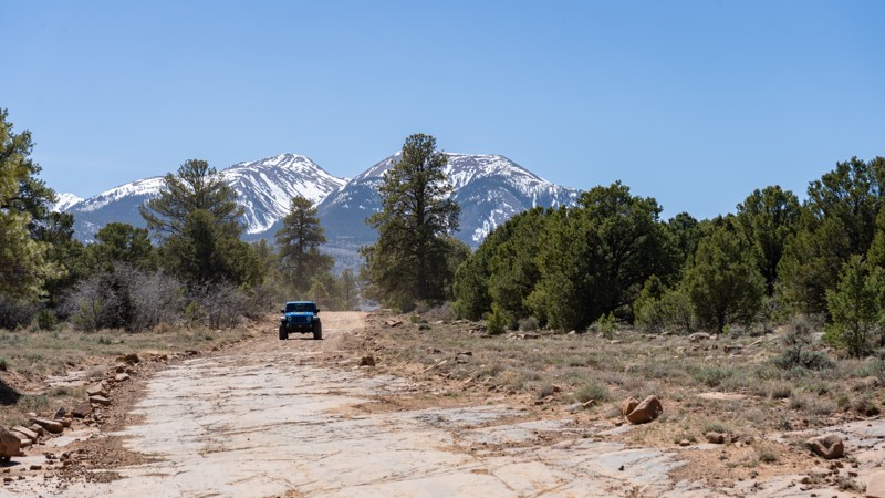
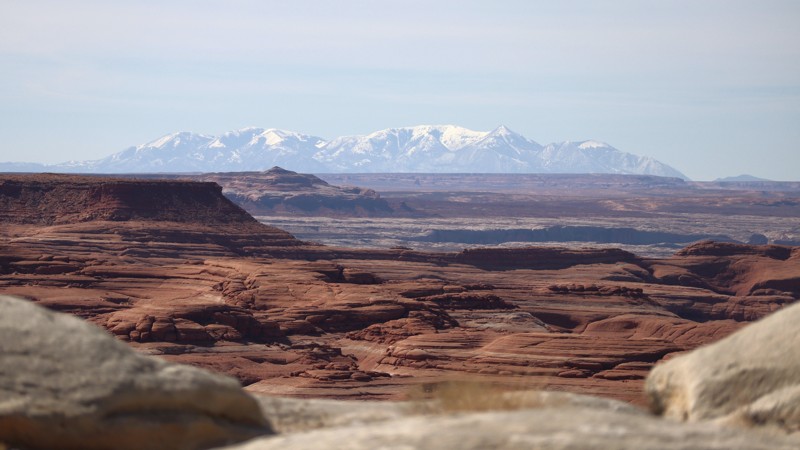
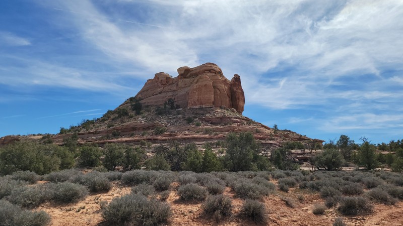
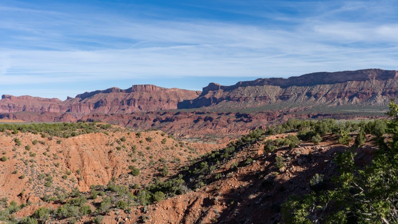
The Imperial Valley and Impossible Hill trail is a remote, challenging, and stunning trail in the Beef Basin area of Bears Ears National Monument and a portion of the Glen Canyon National Recreation Area. It is rarely traveled, and the road has all but faded away in places. The few who venture down it will find spectacular views, challenging rock obstacles, and perfect solitude.
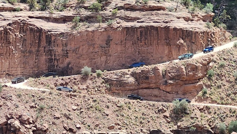
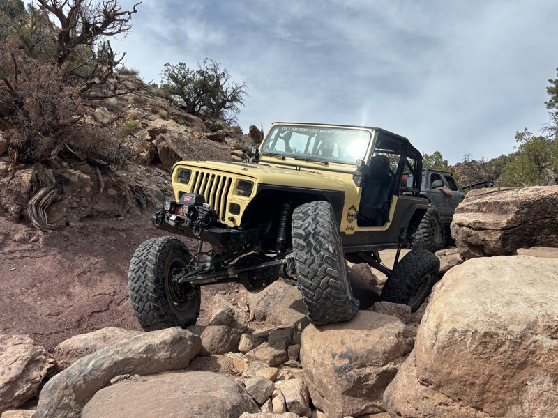
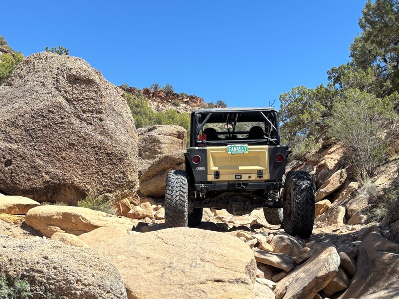
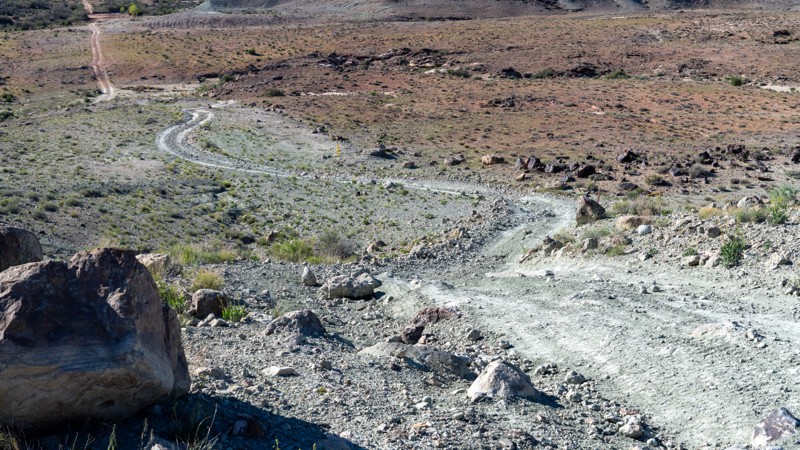
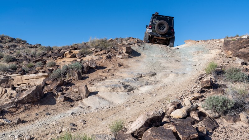
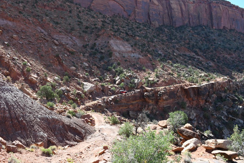
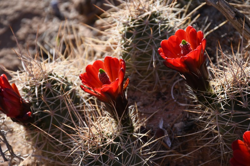
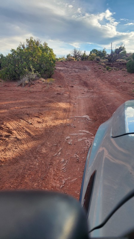
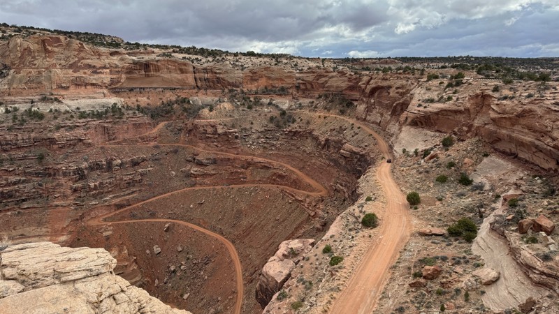
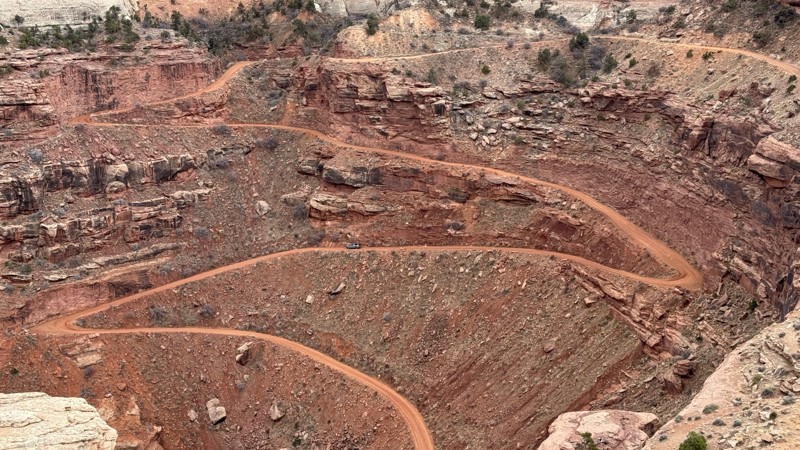
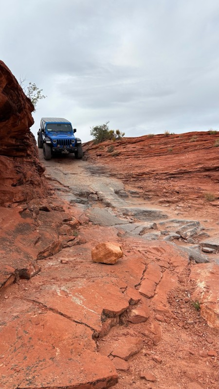
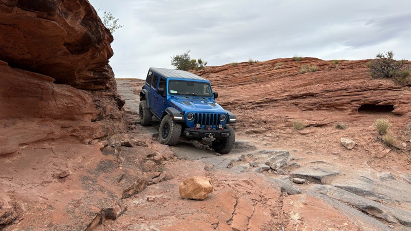
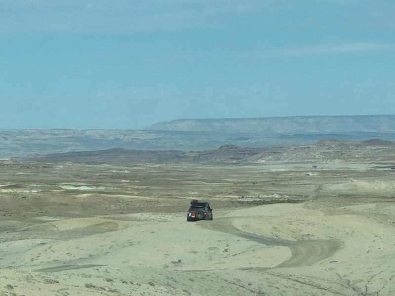
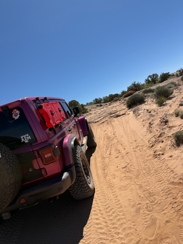
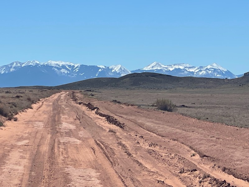
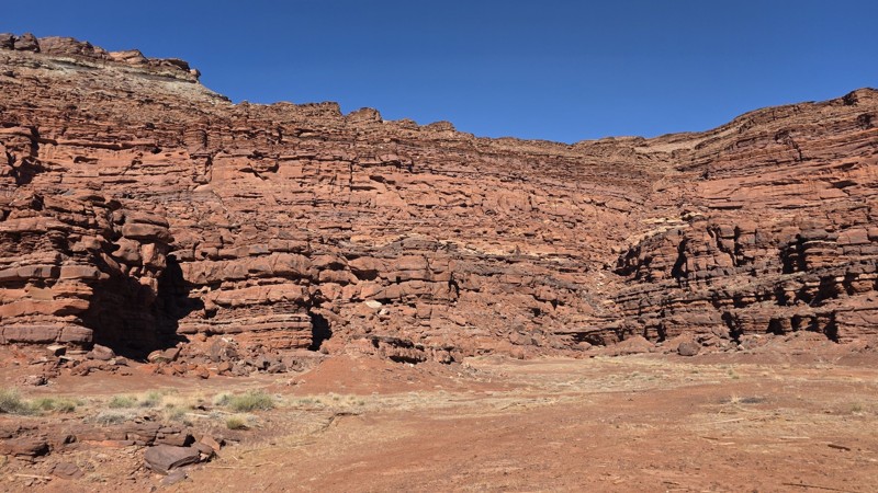
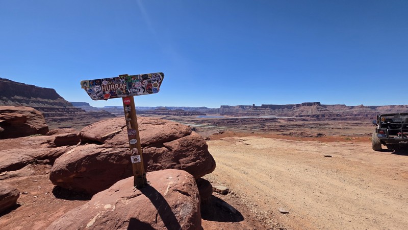
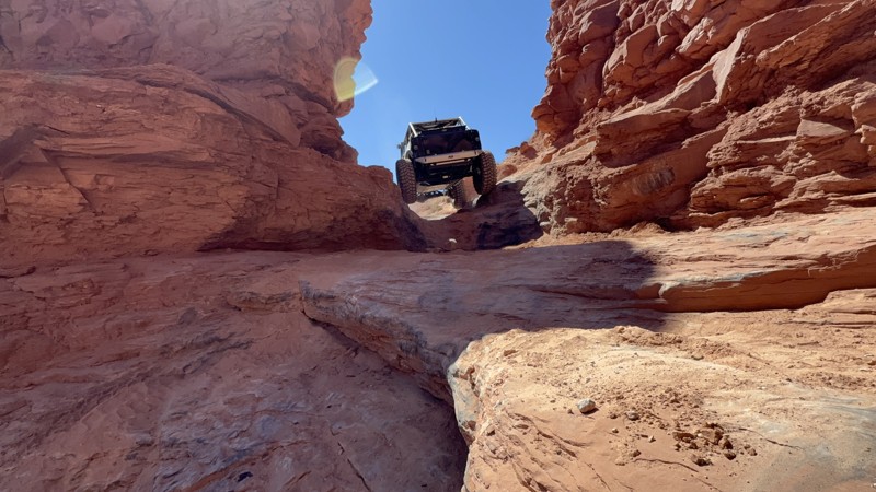
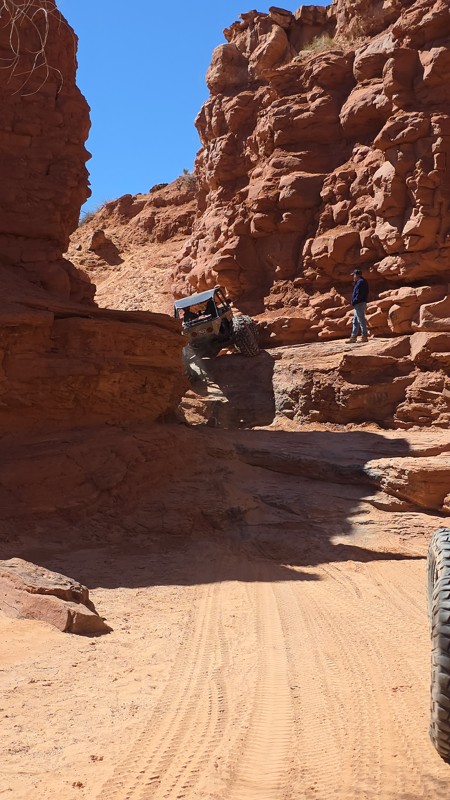
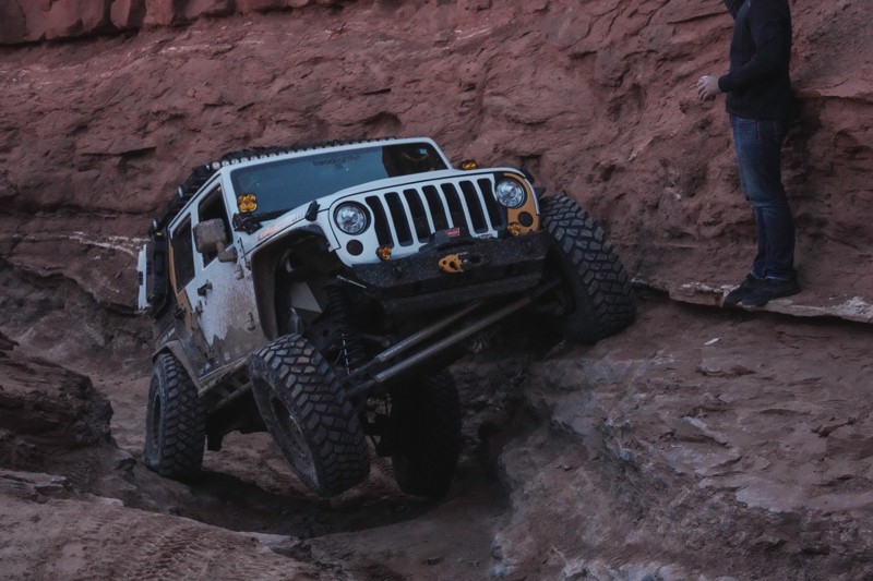
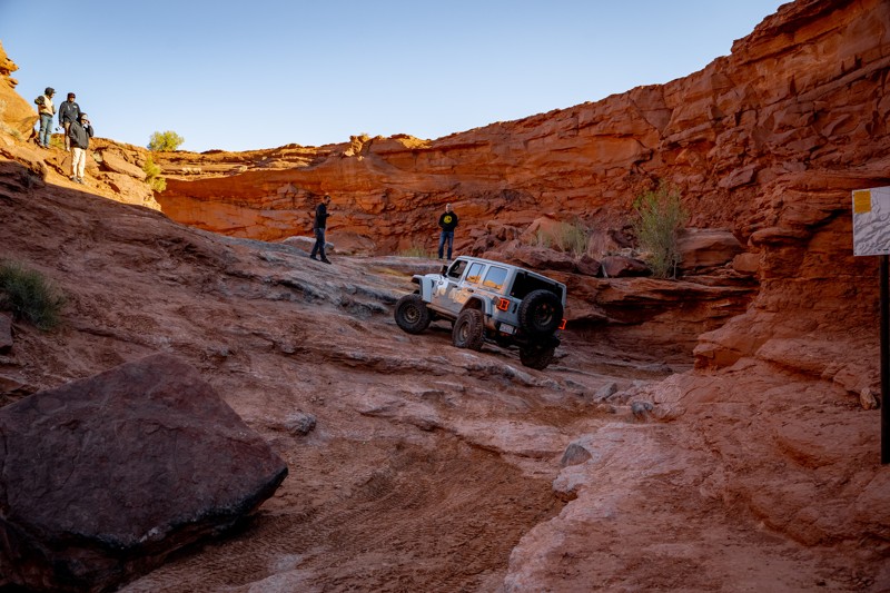
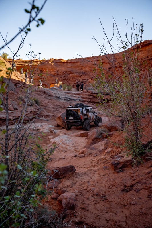
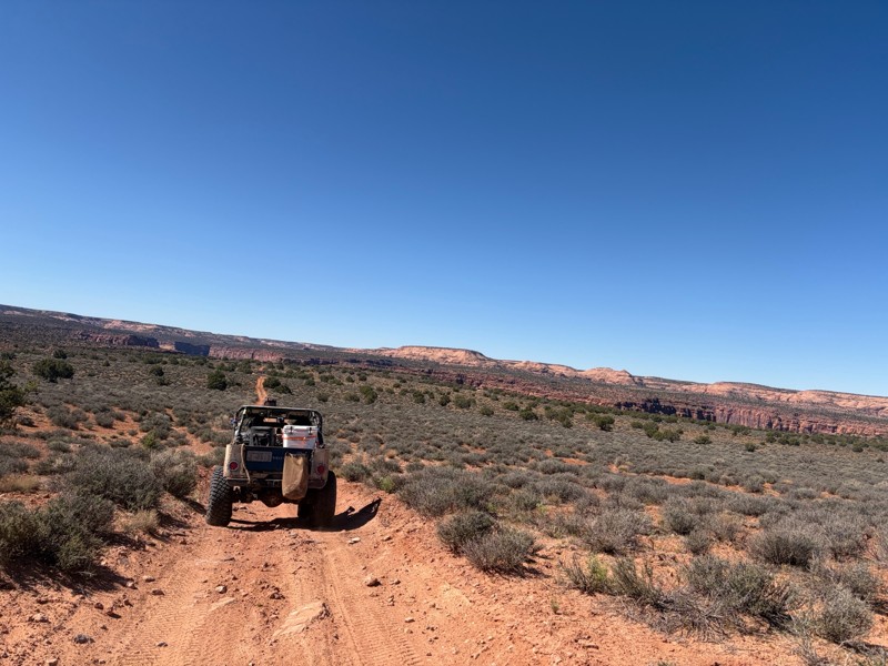
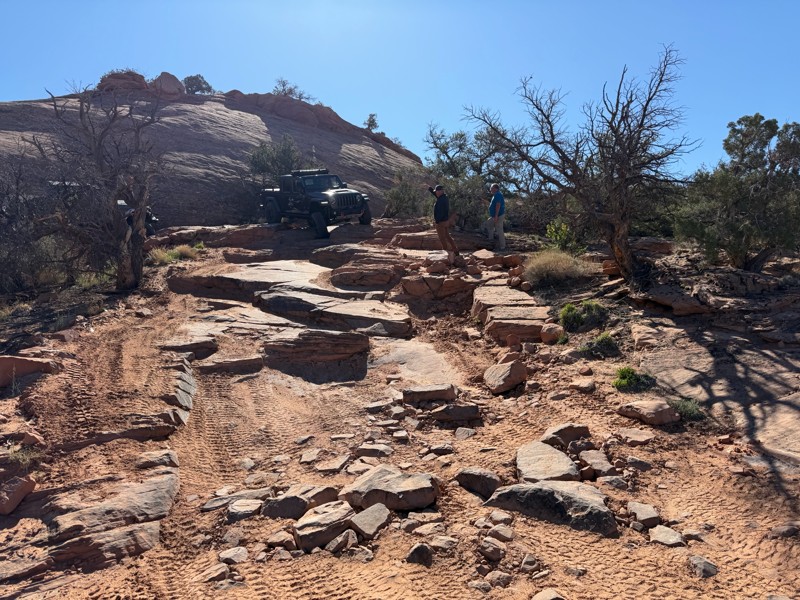
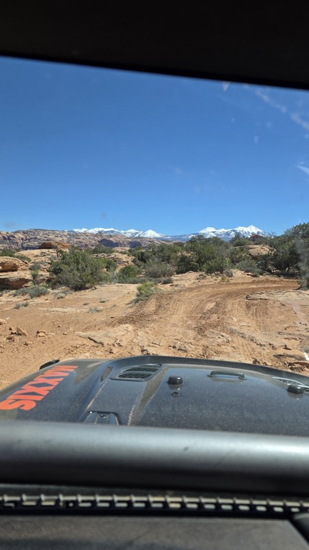
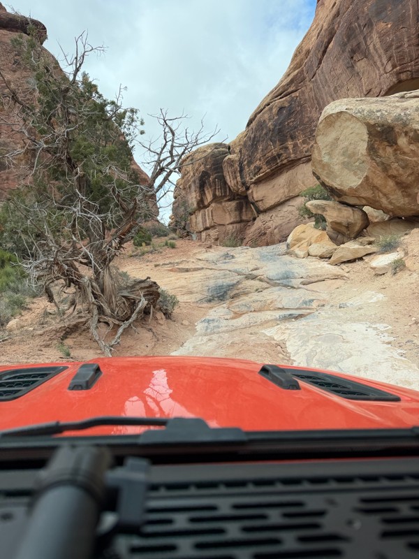
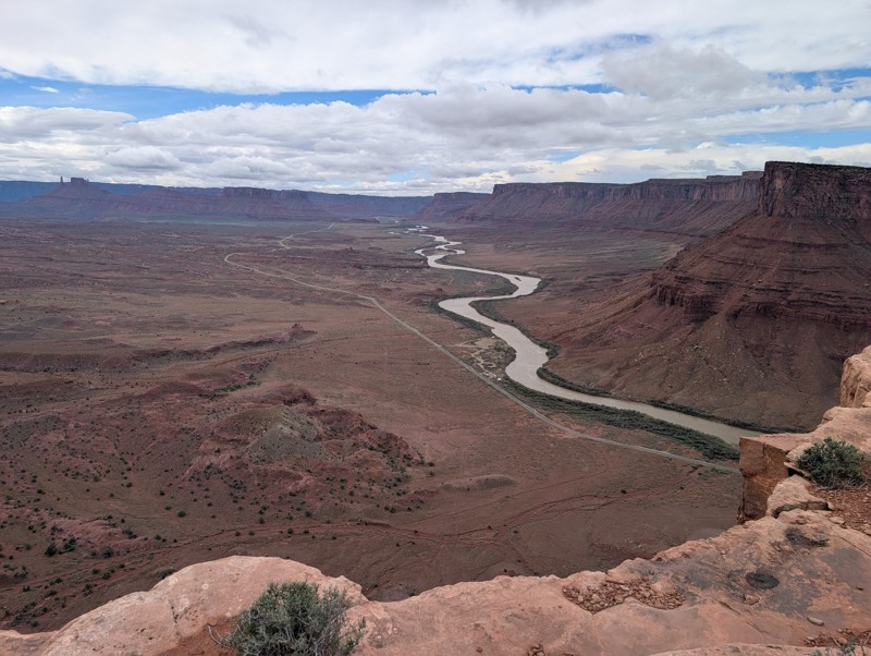
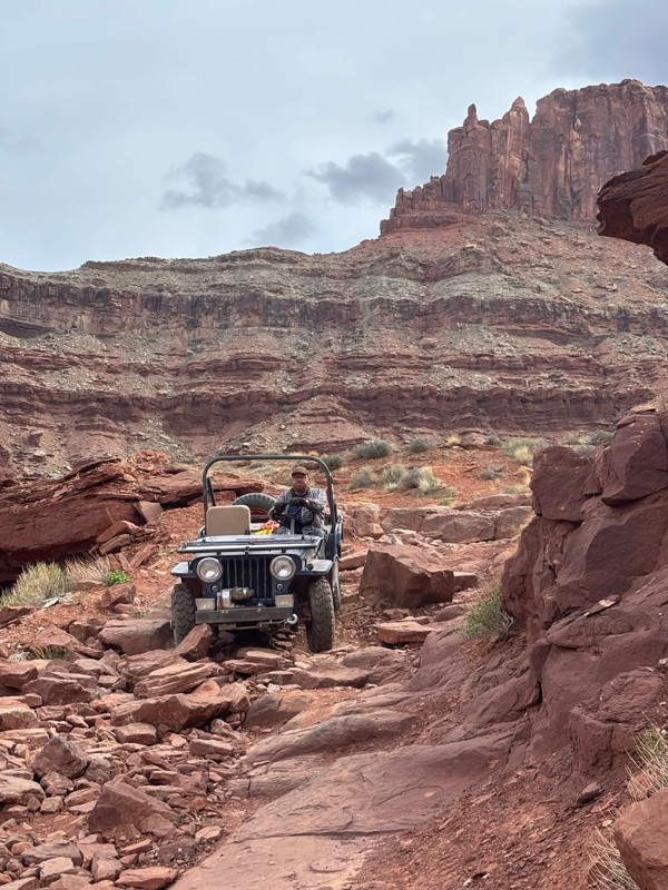
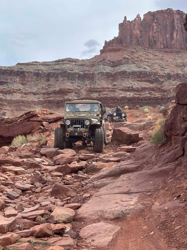
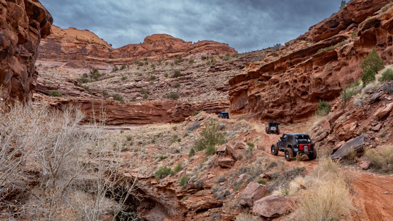
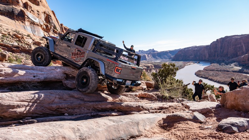
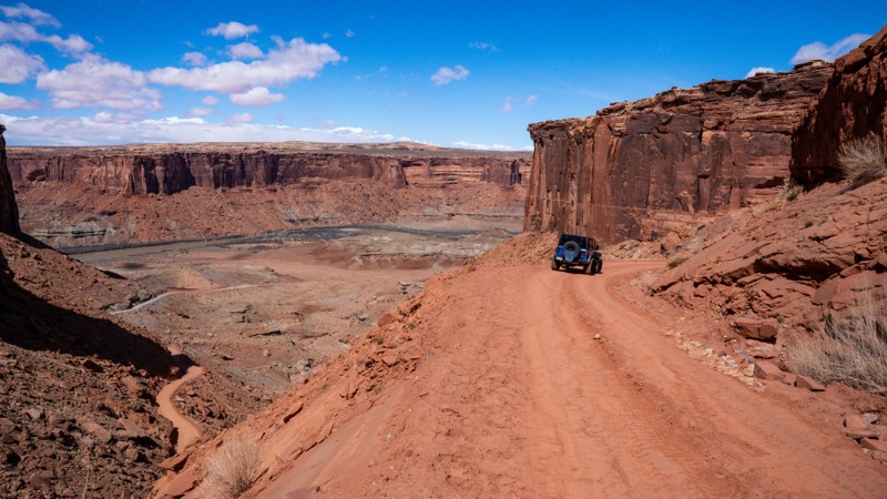
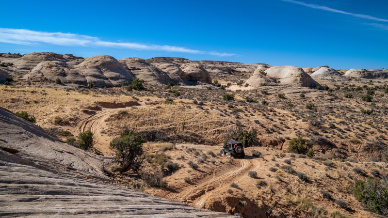
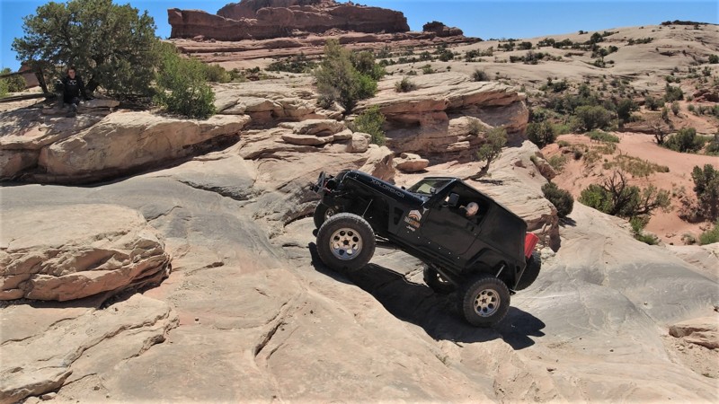
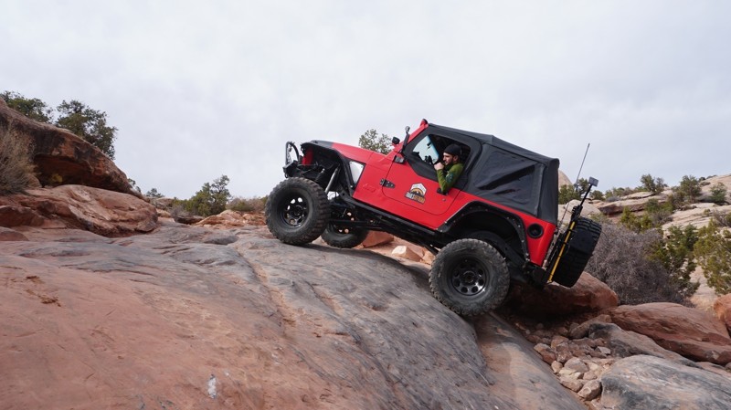
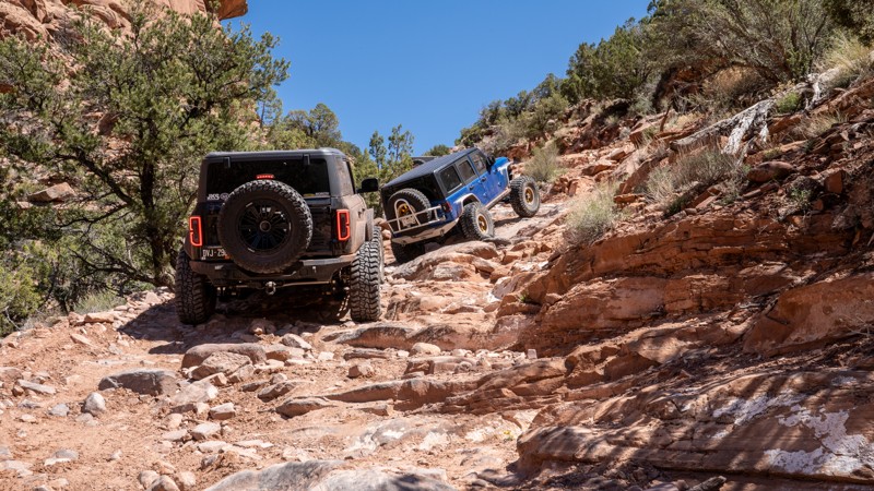
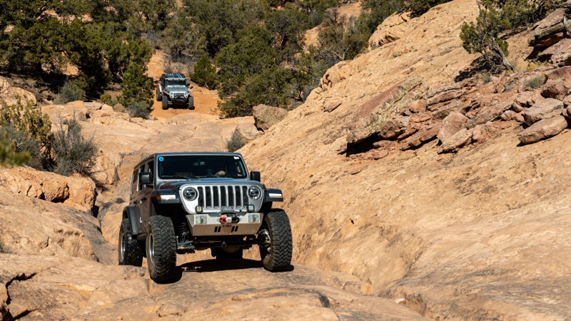
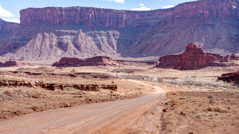
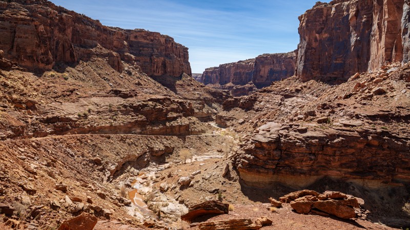
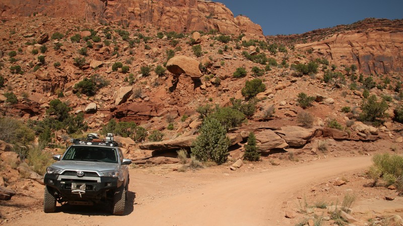
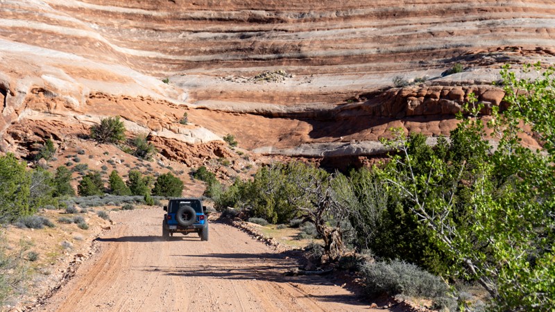
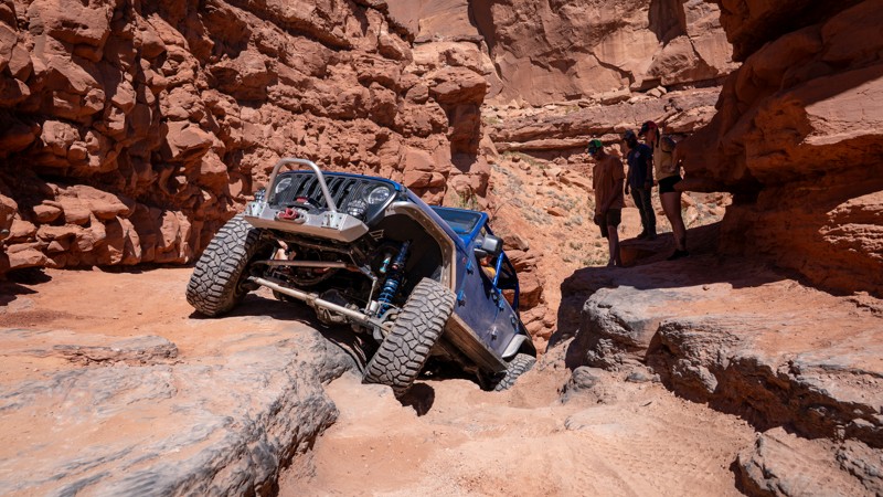
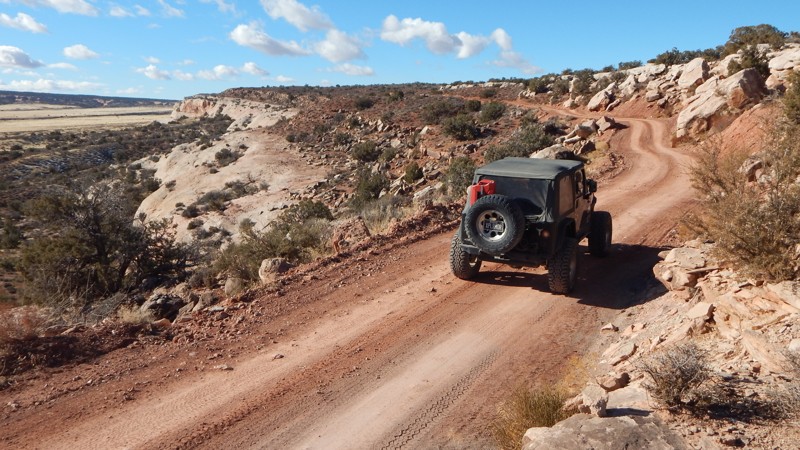
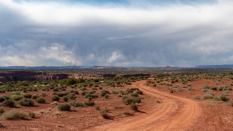
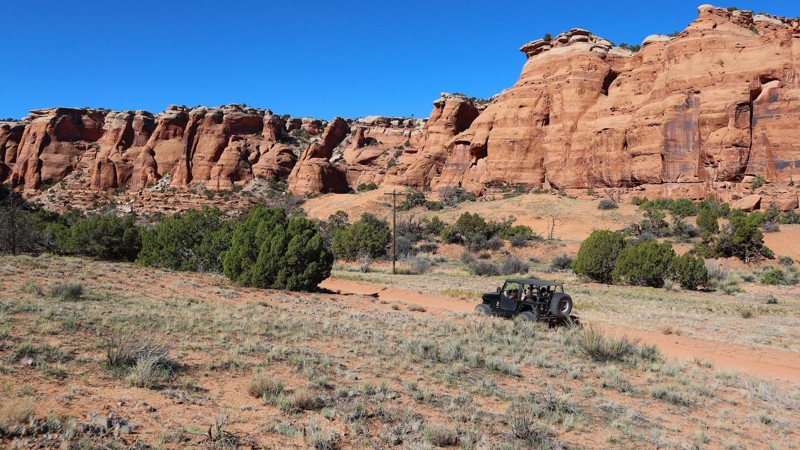
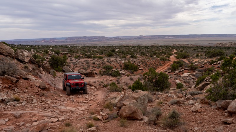
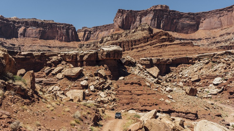
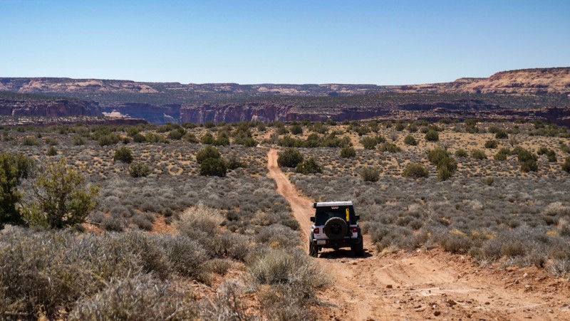
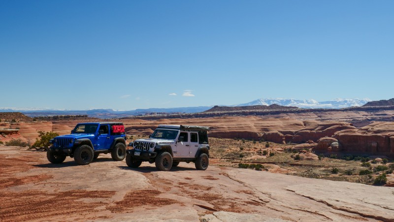
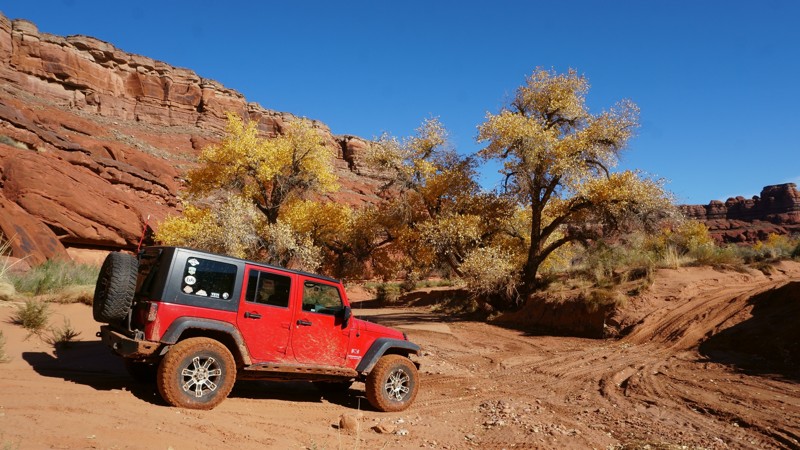
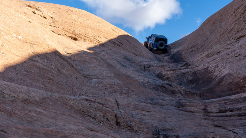
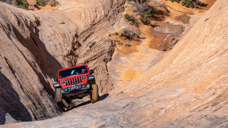
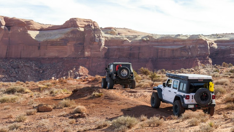
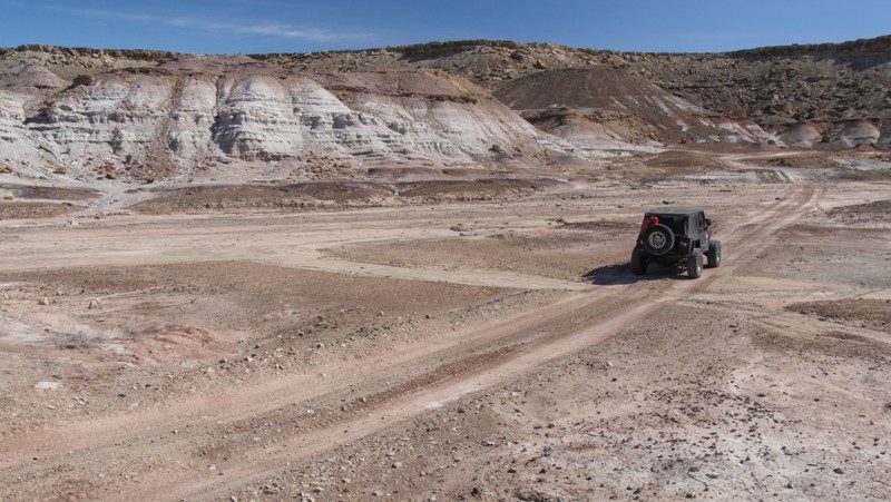
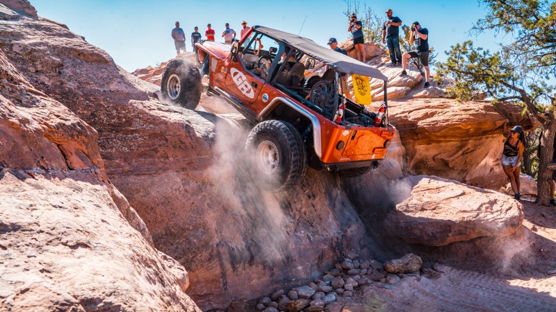
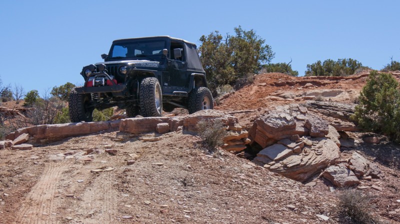
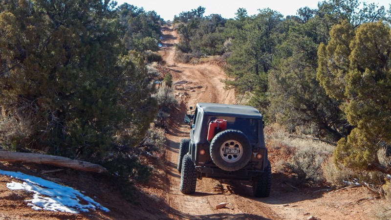
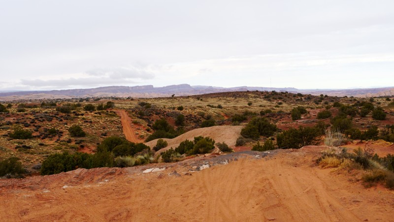
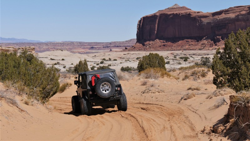
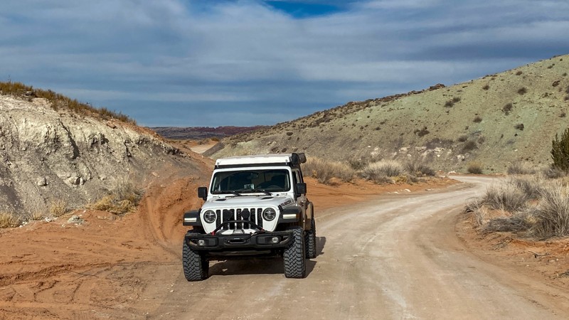
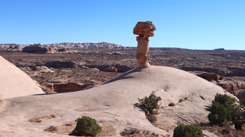
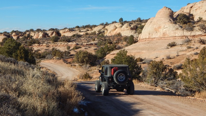
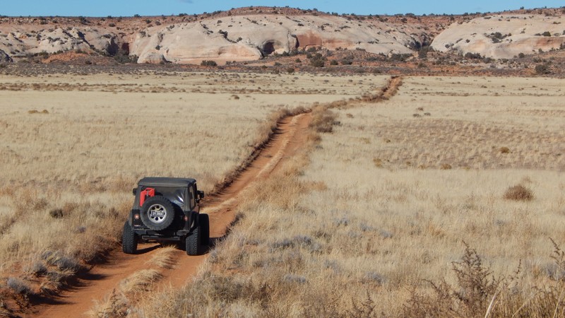
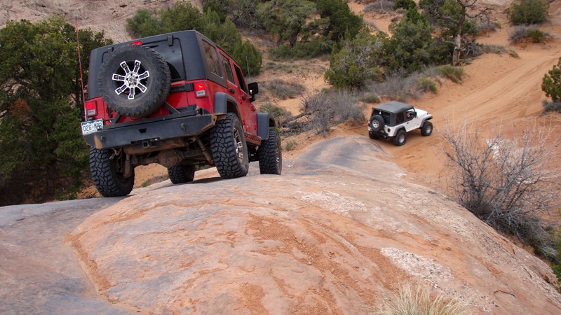
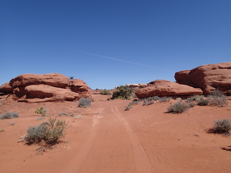
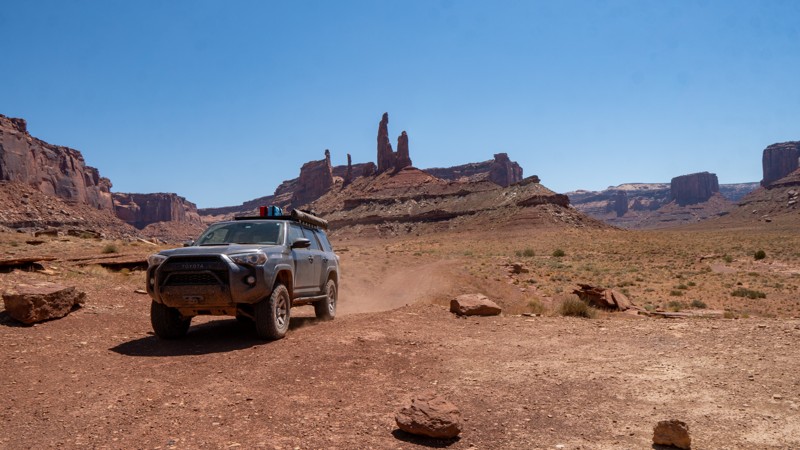
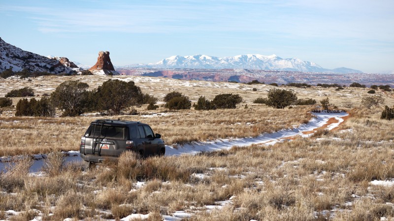
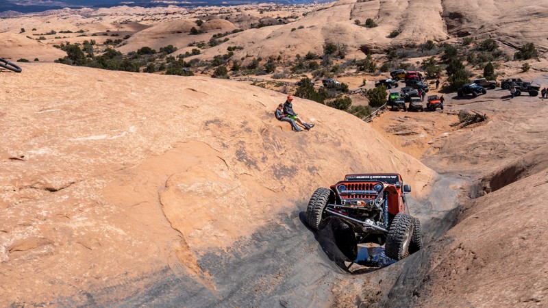
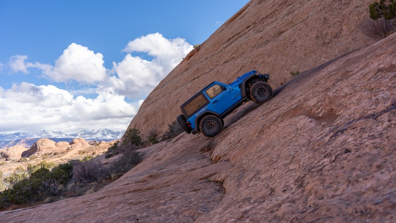
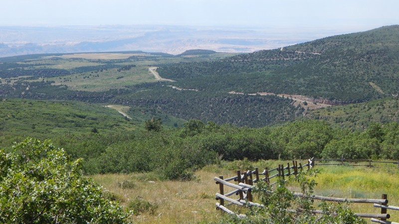
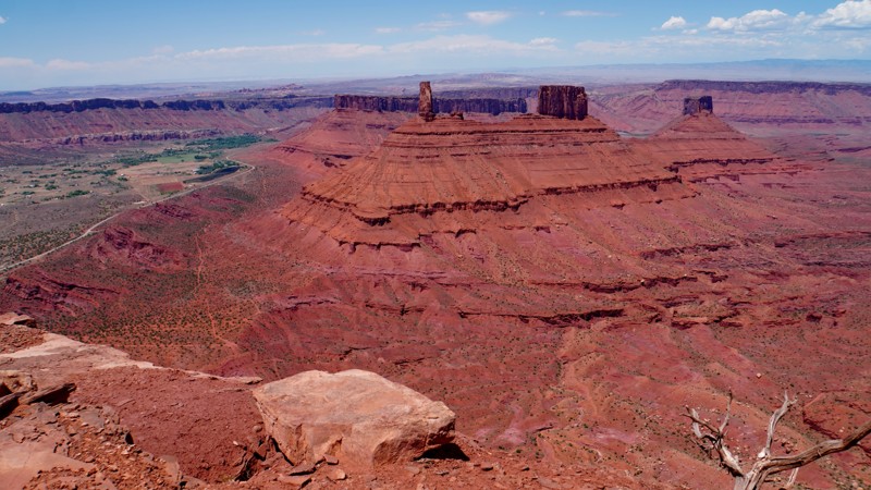
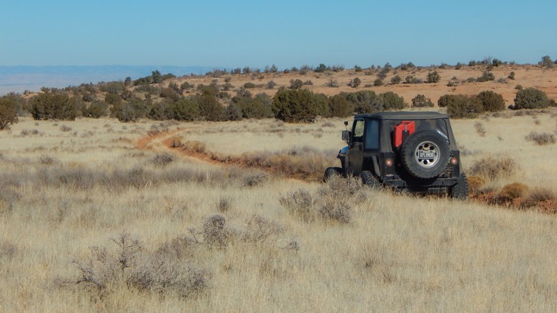
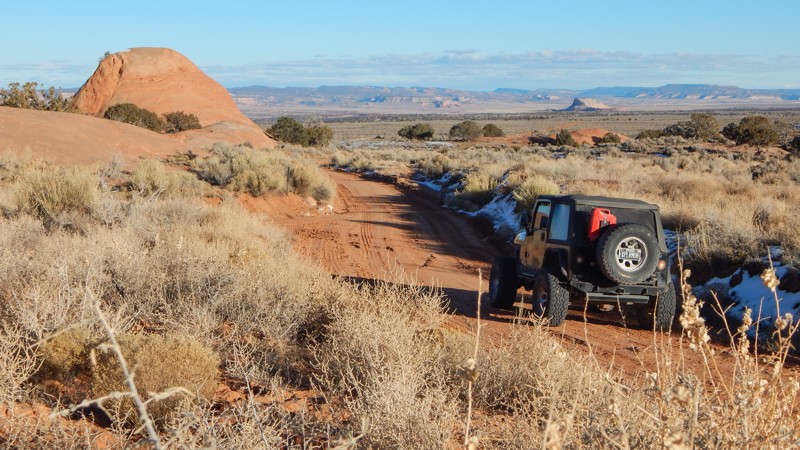
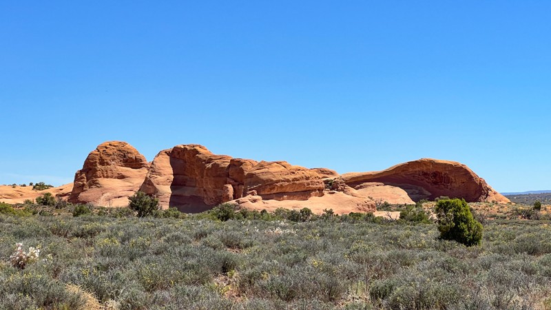
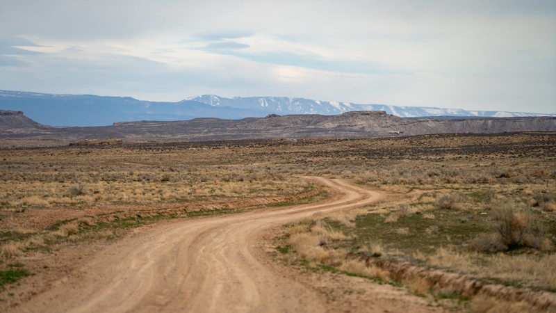
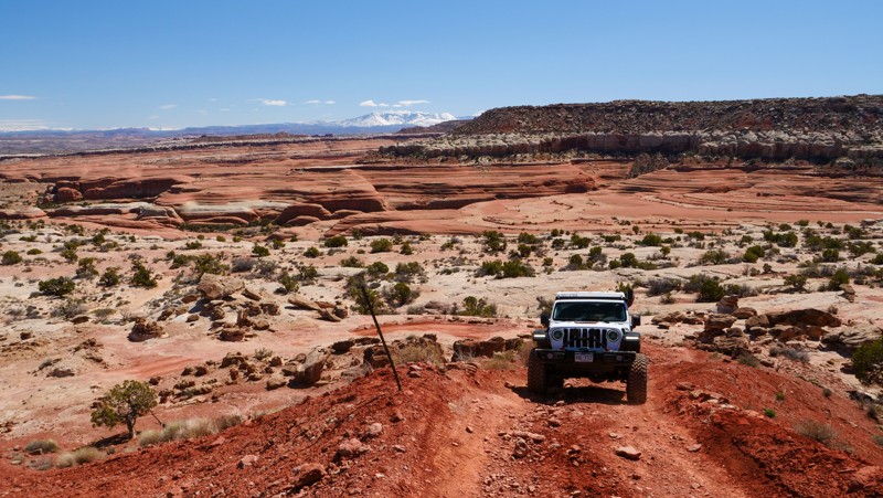
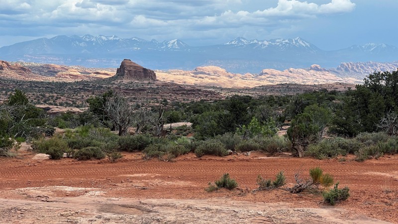
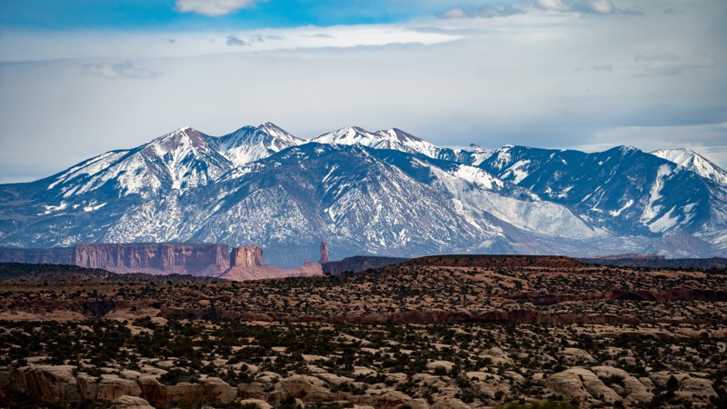
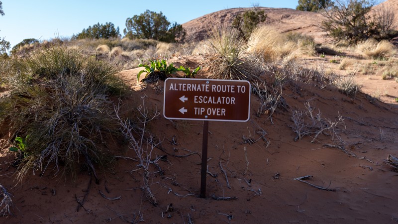
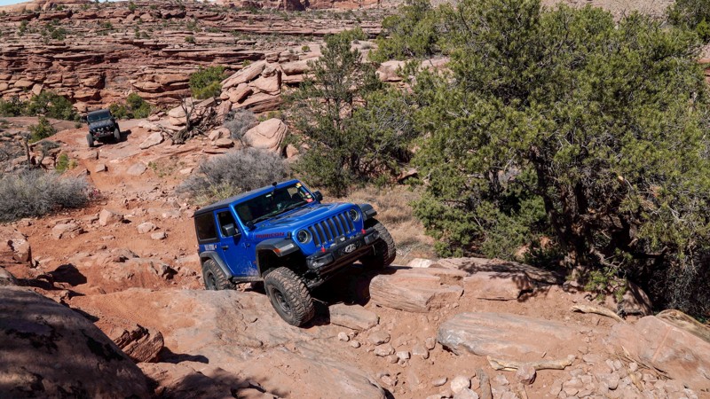
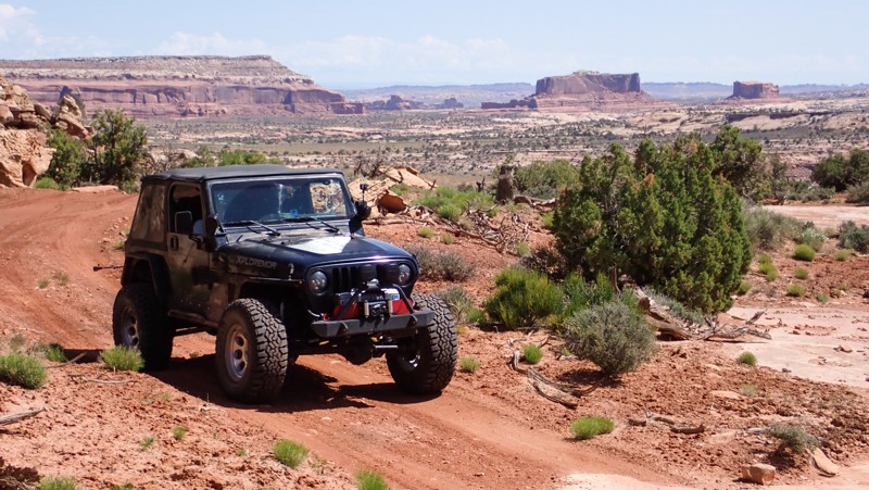
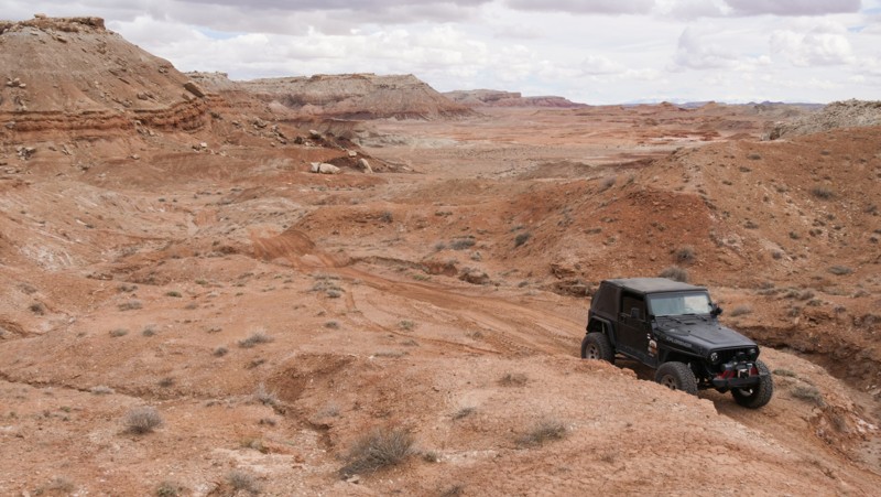
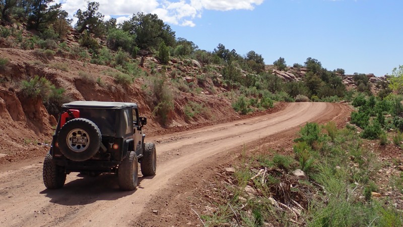
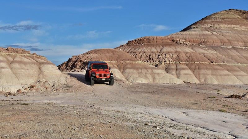
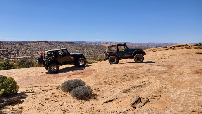
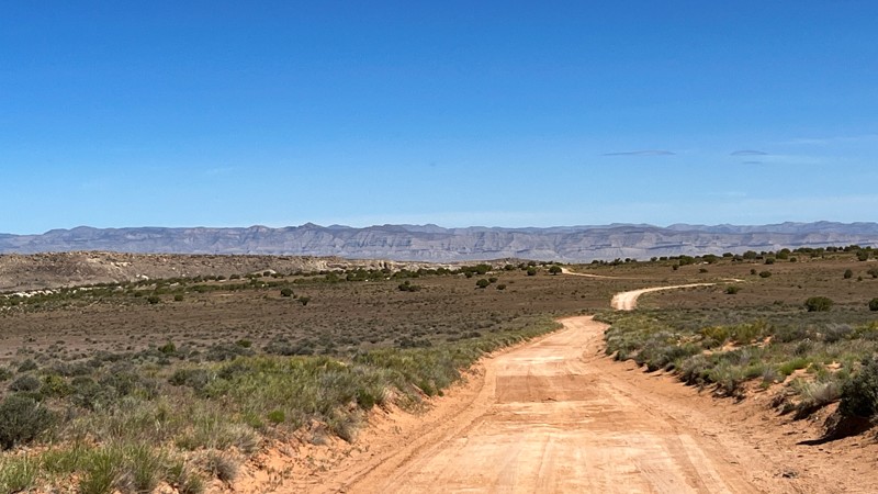
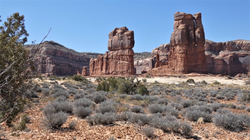
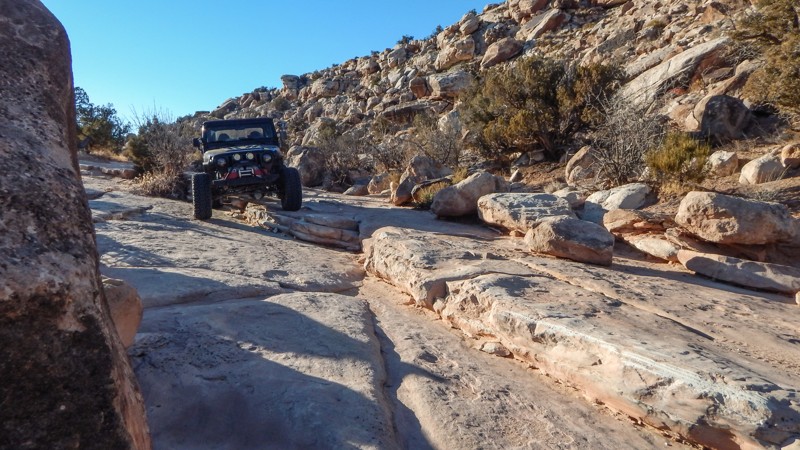
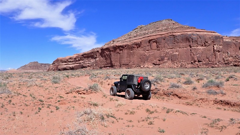
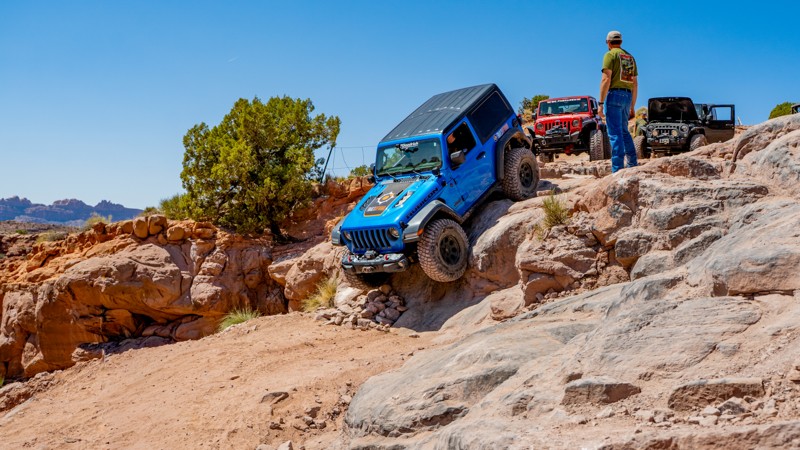
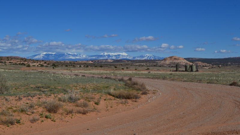
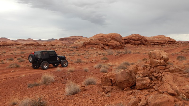
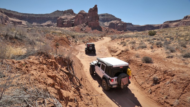
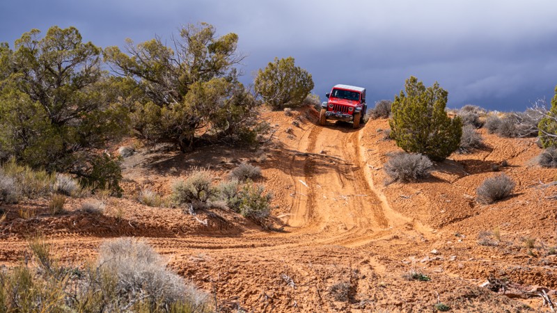
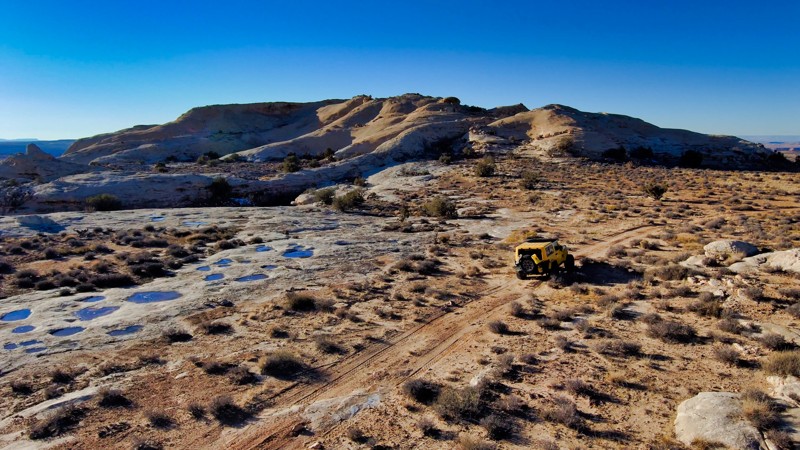
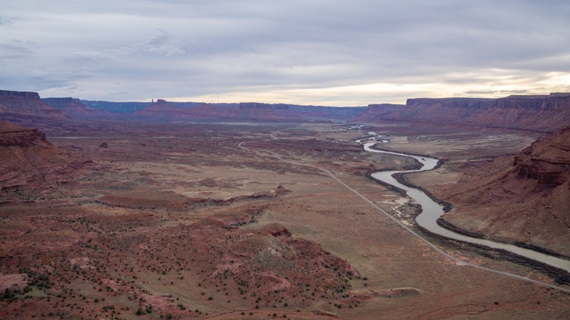
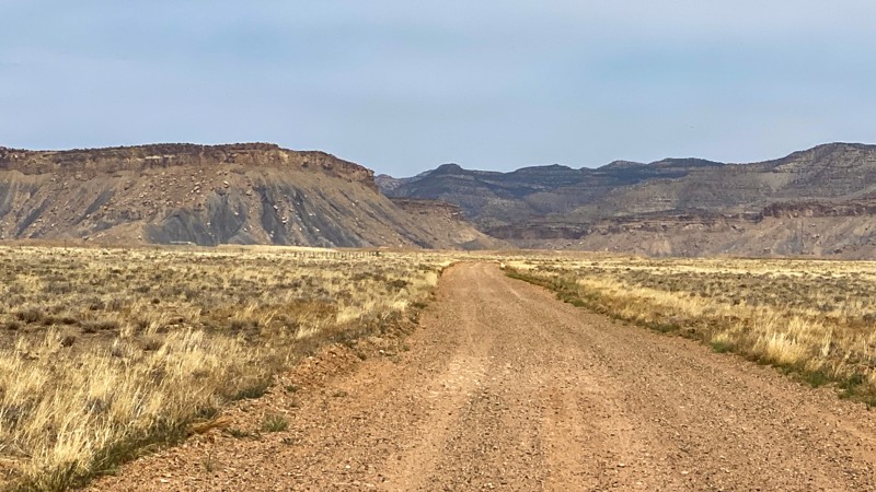
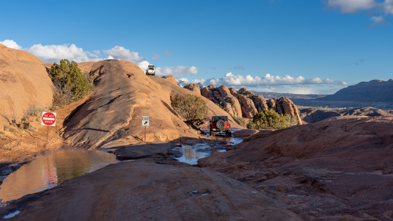
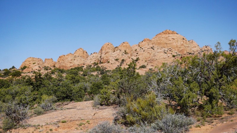
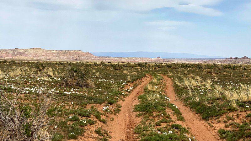
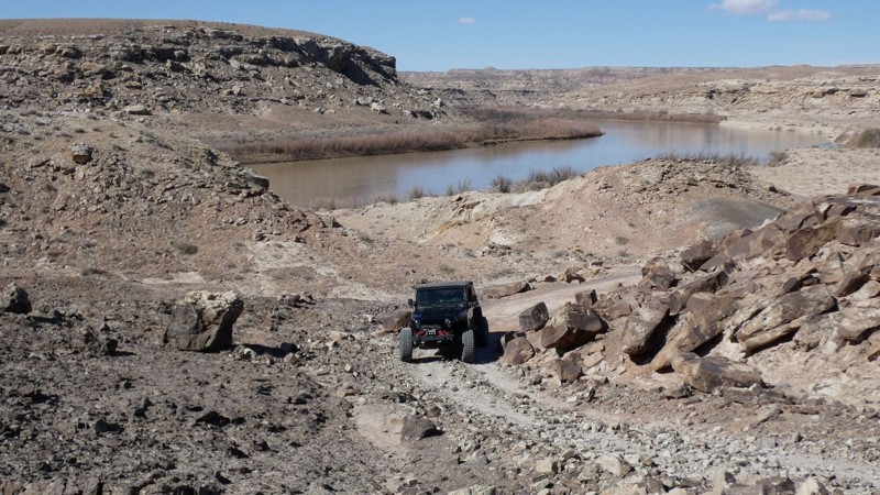
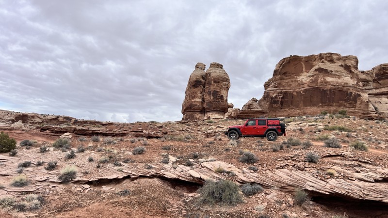
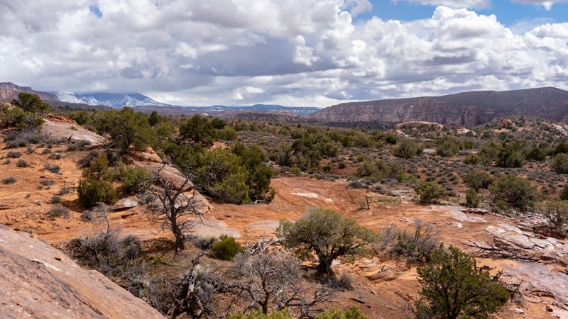
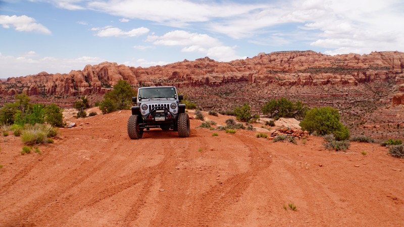
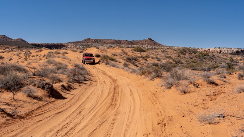
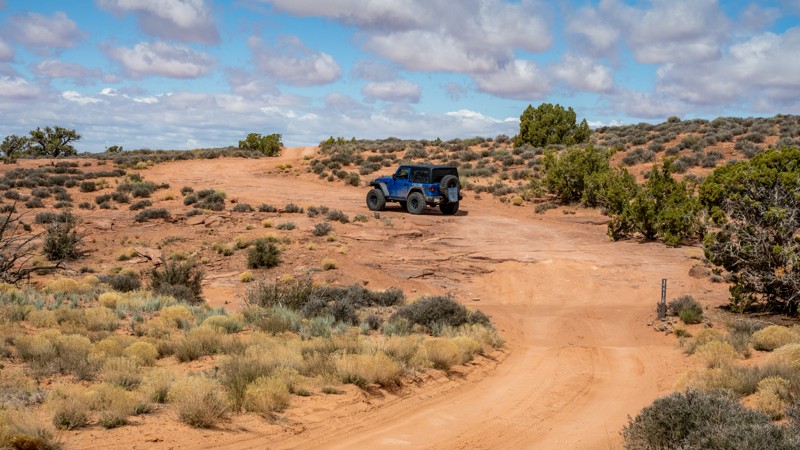
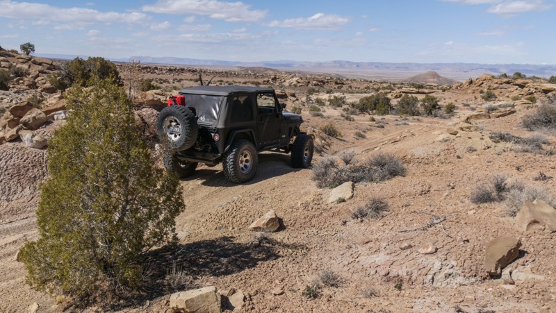
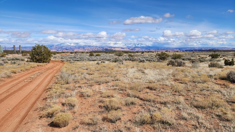
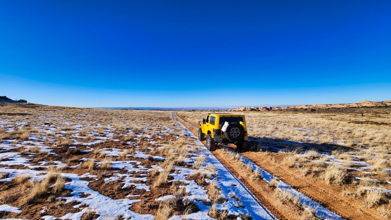
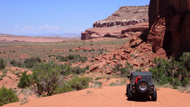
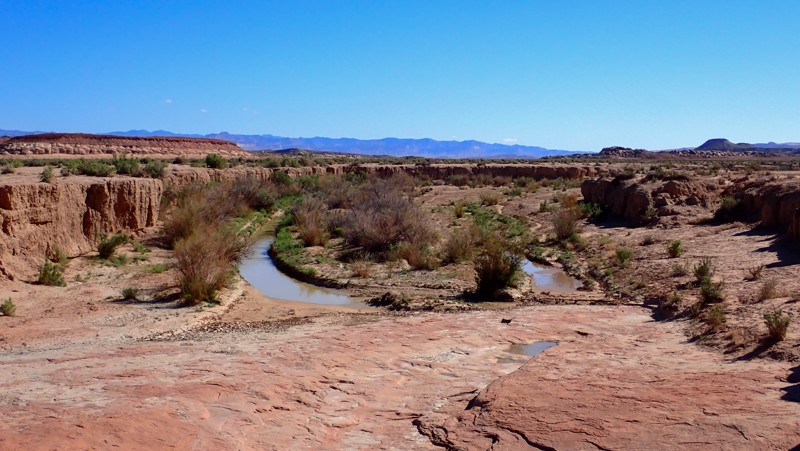
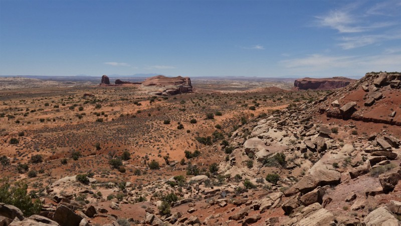
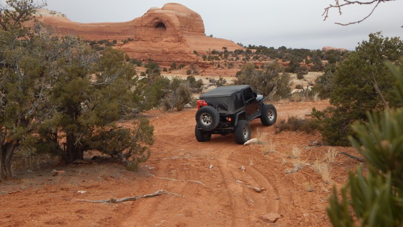
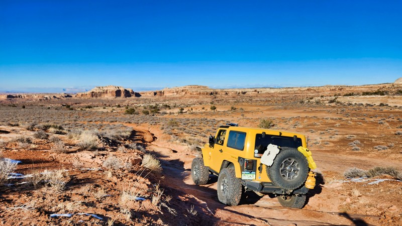
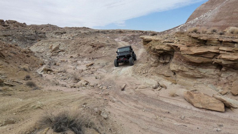
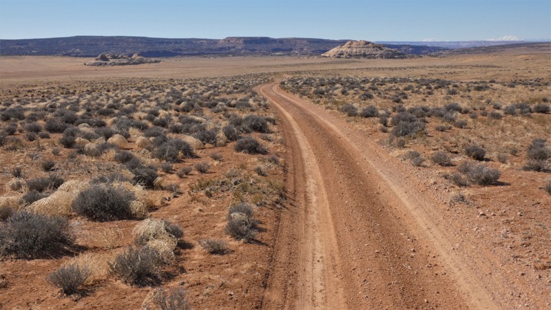
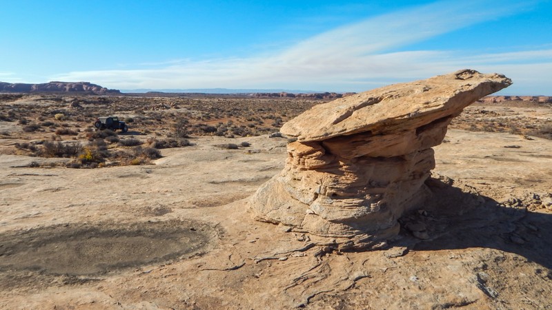
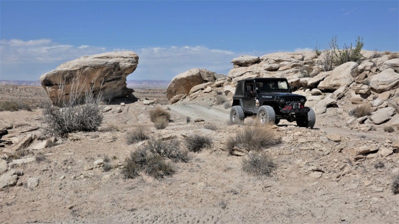
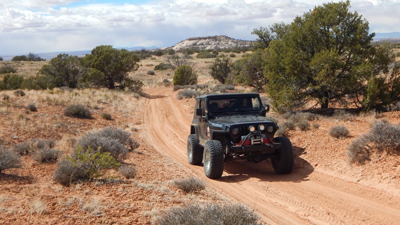
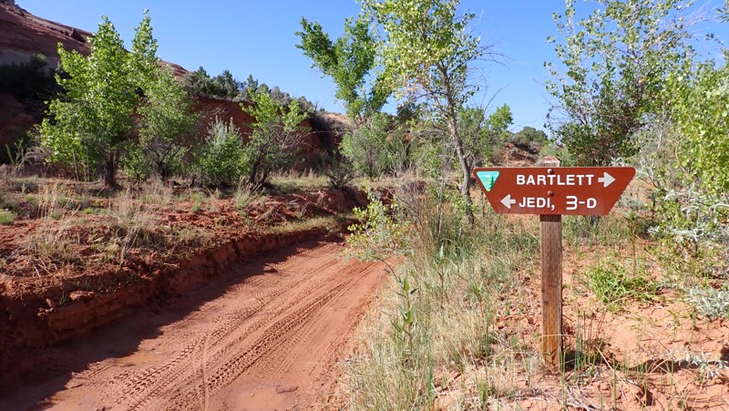
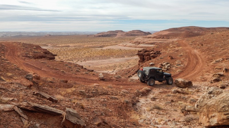
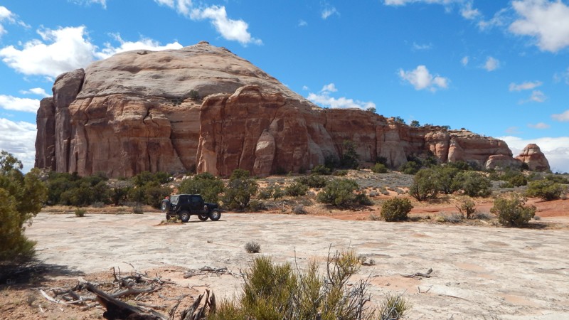
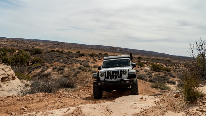
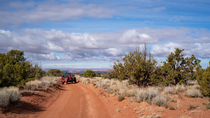
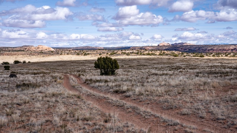
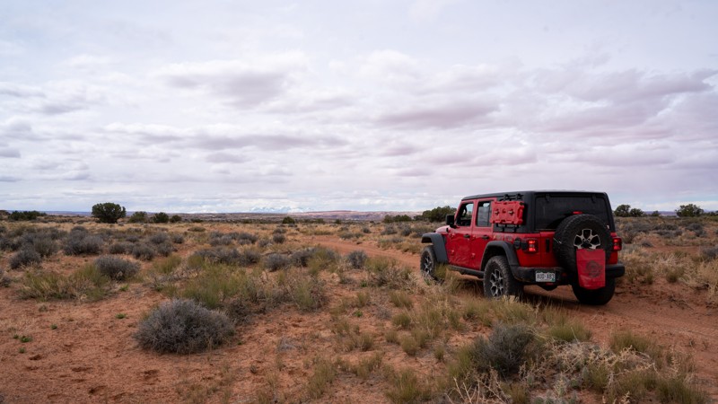
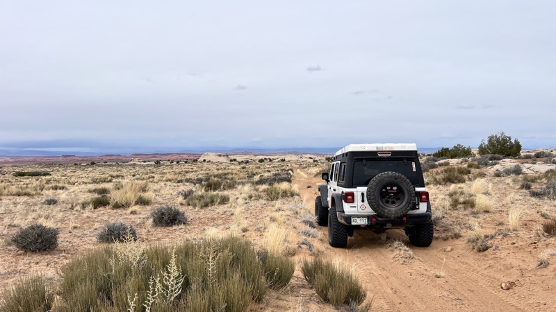
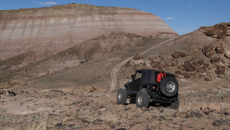
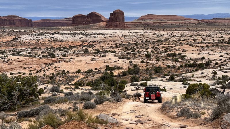
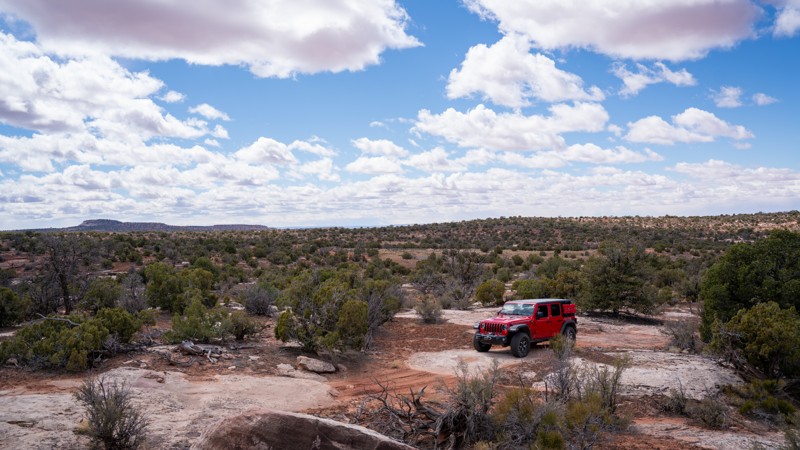
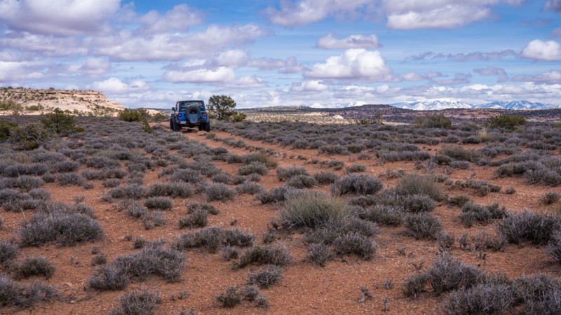
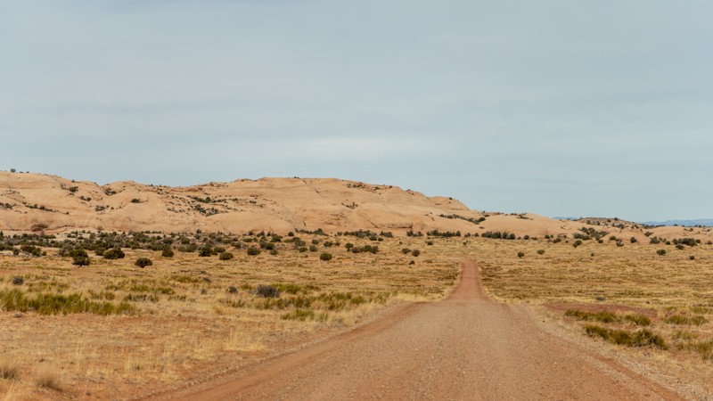
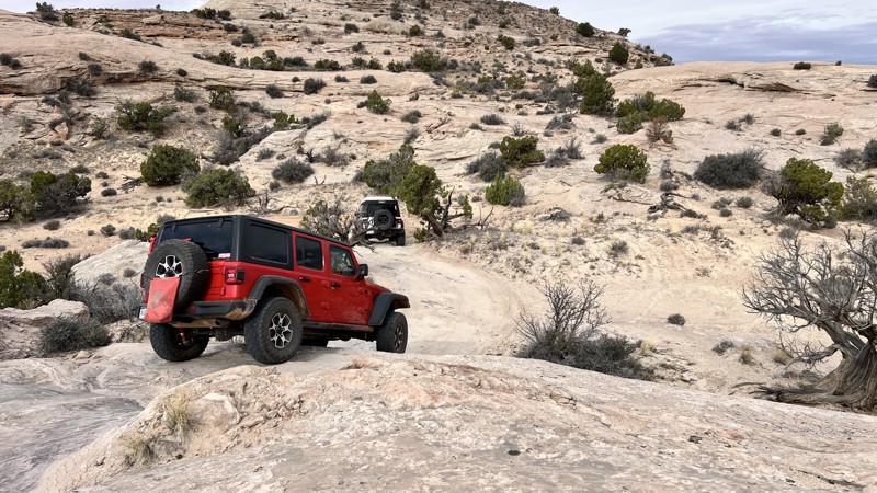
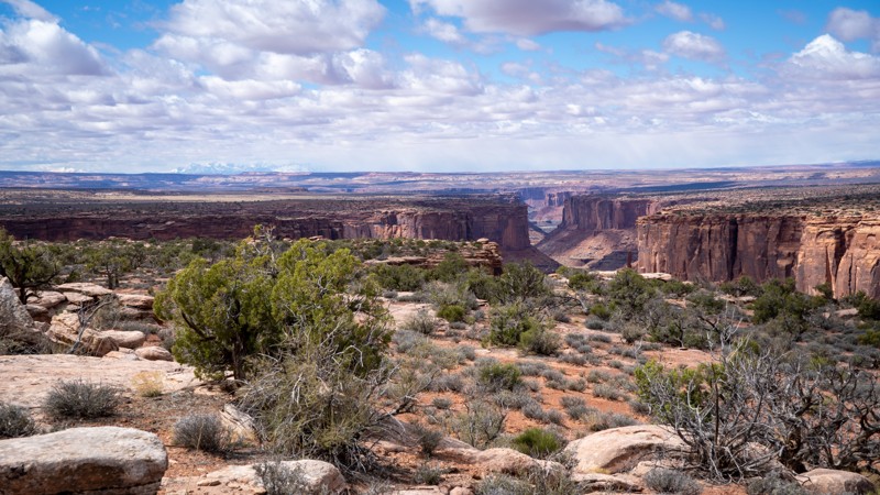
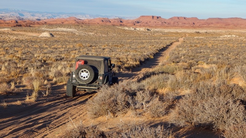
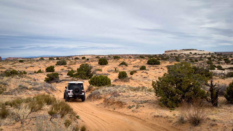
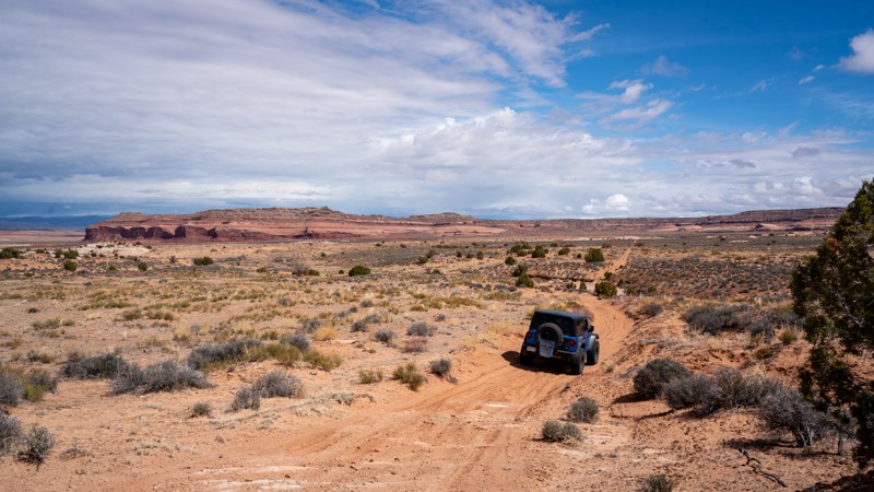
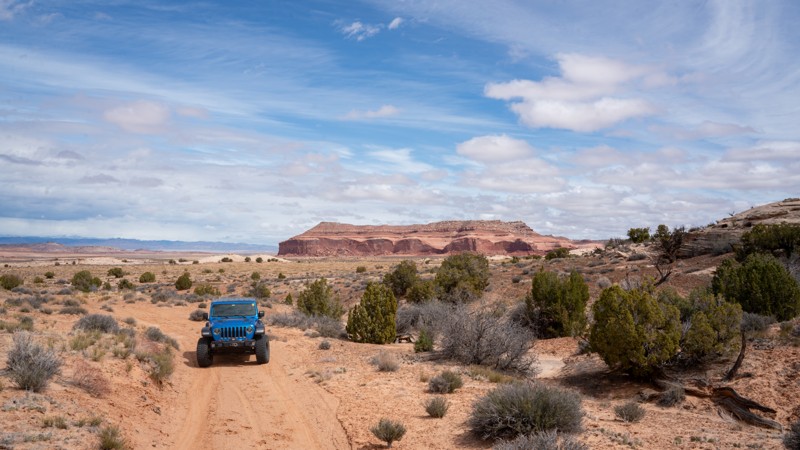
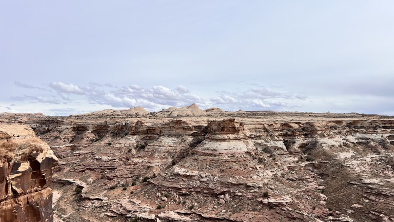
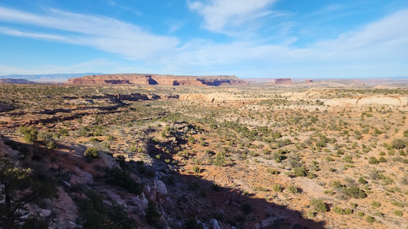
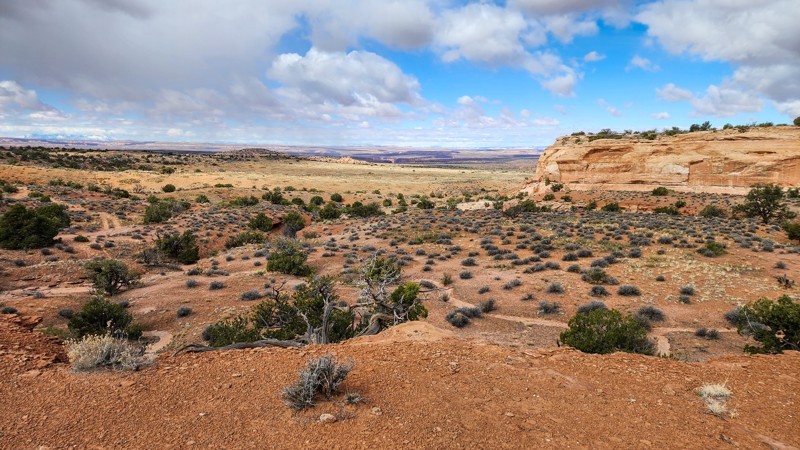
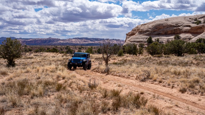
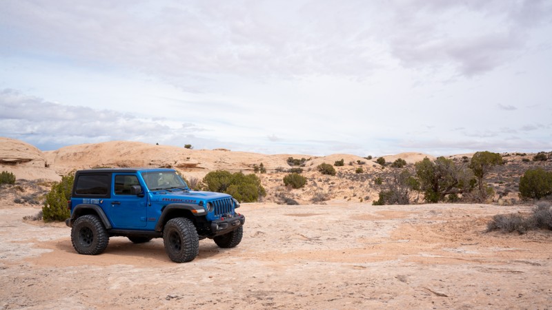
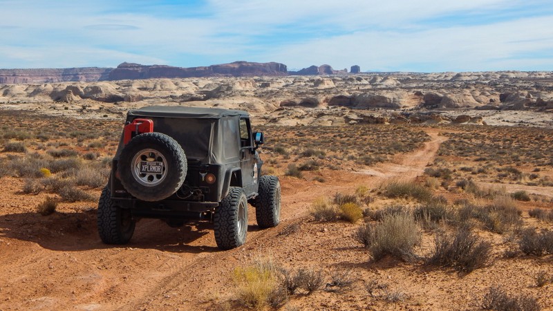
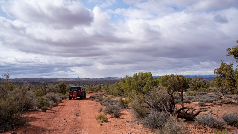
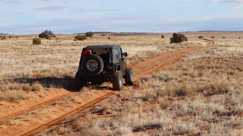
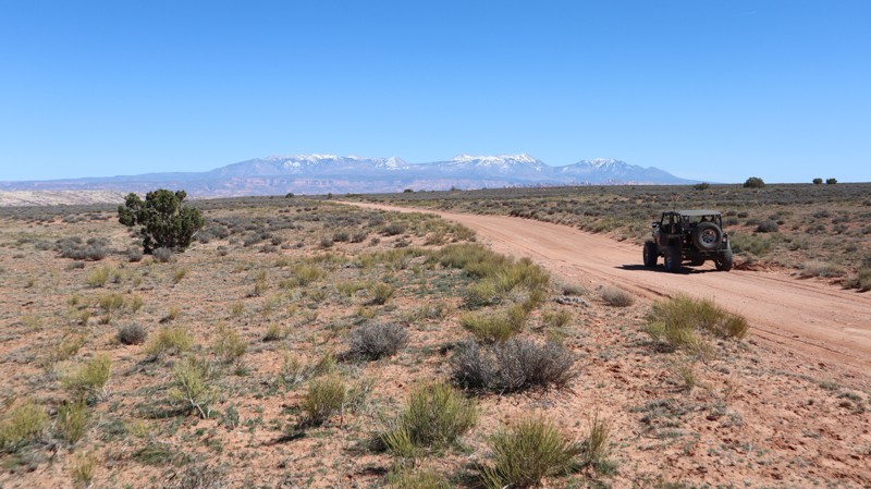
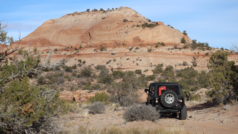
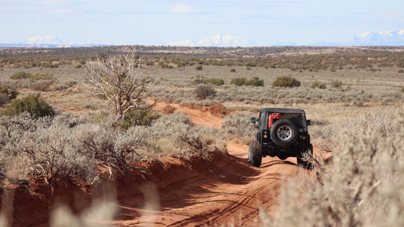
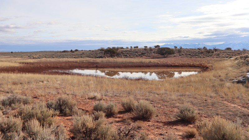
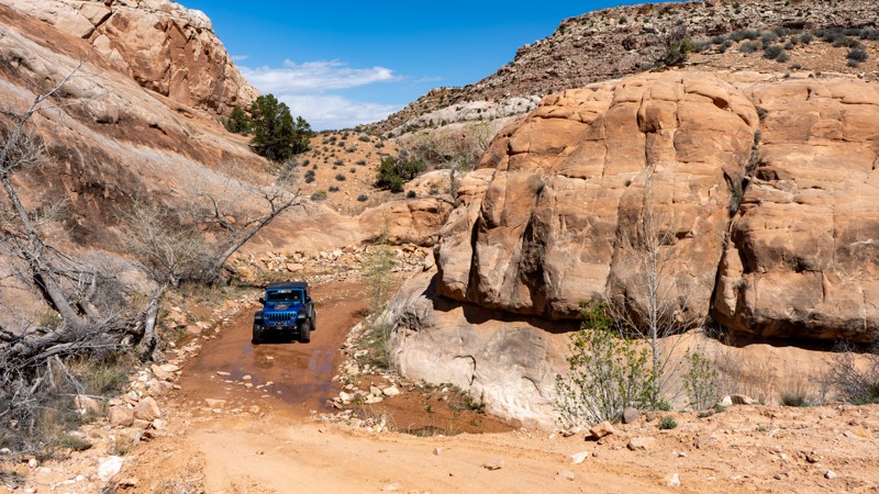
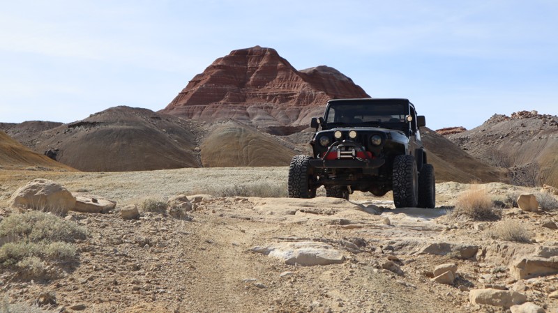
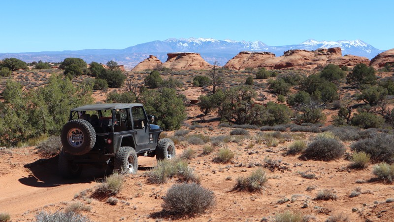
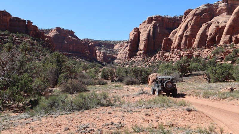
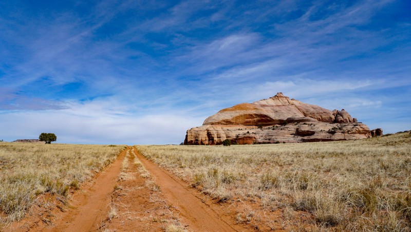
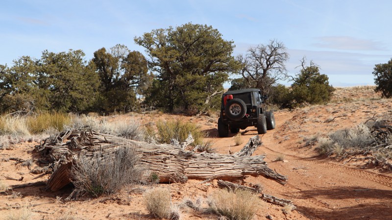
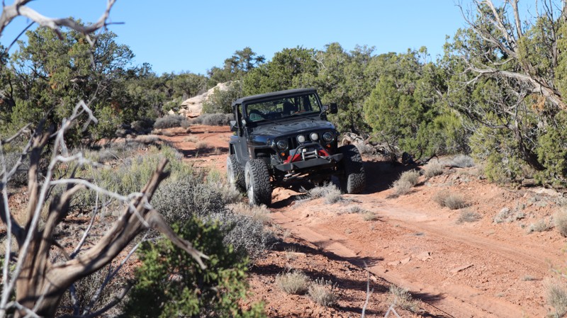
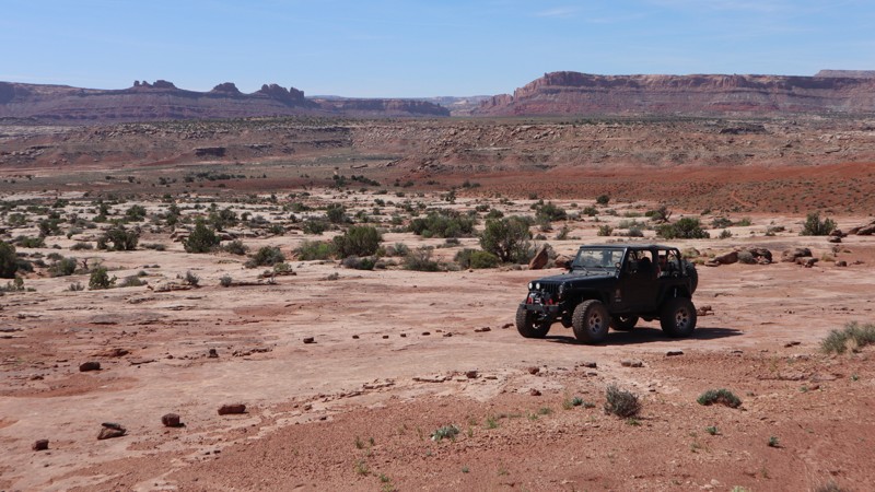
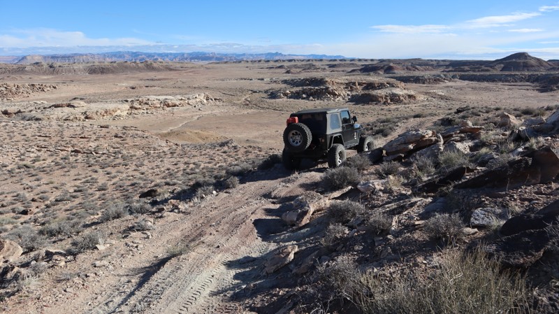
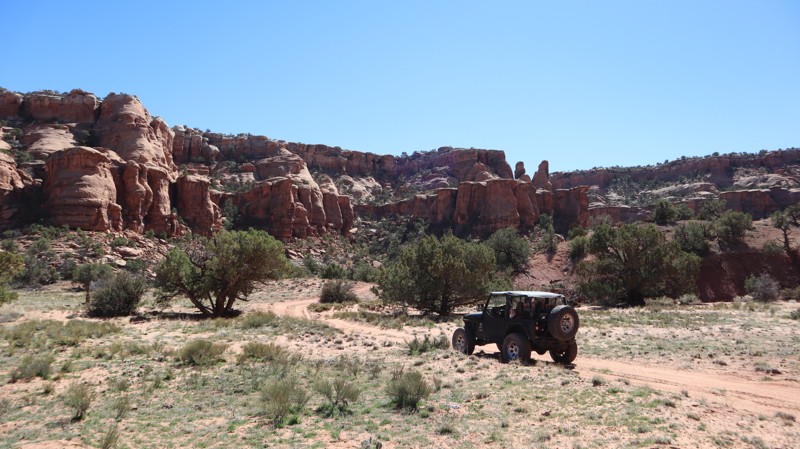
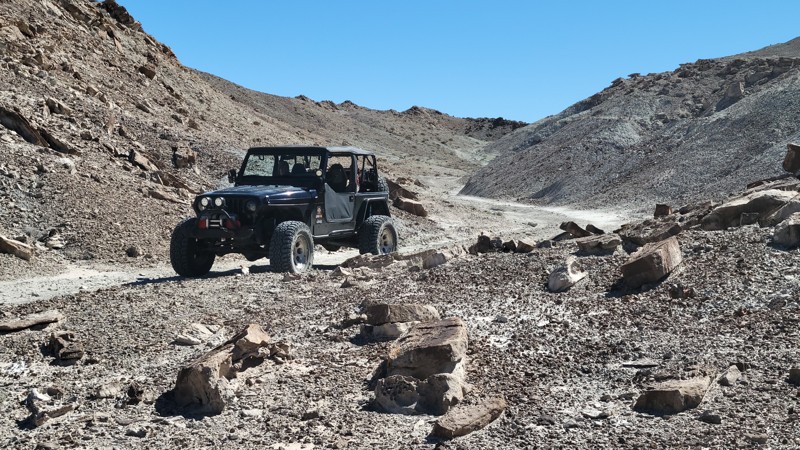
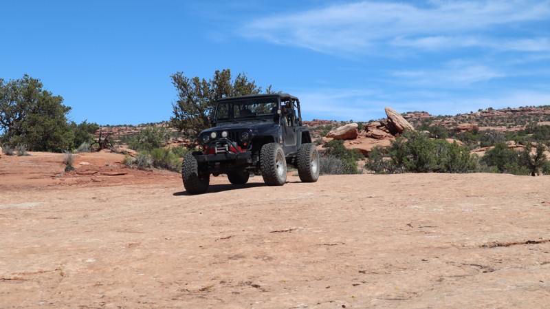
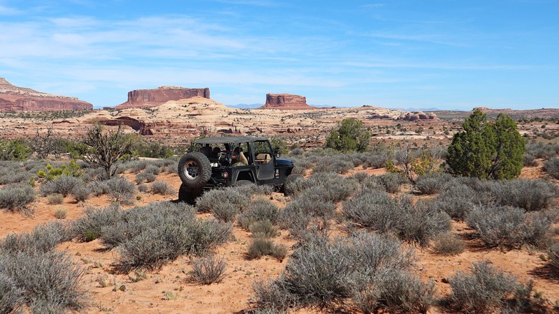
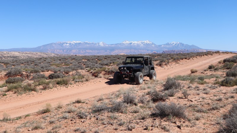
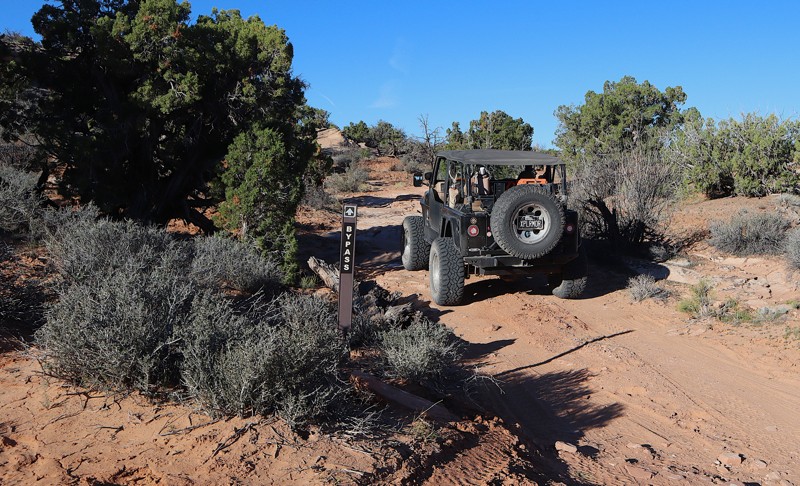
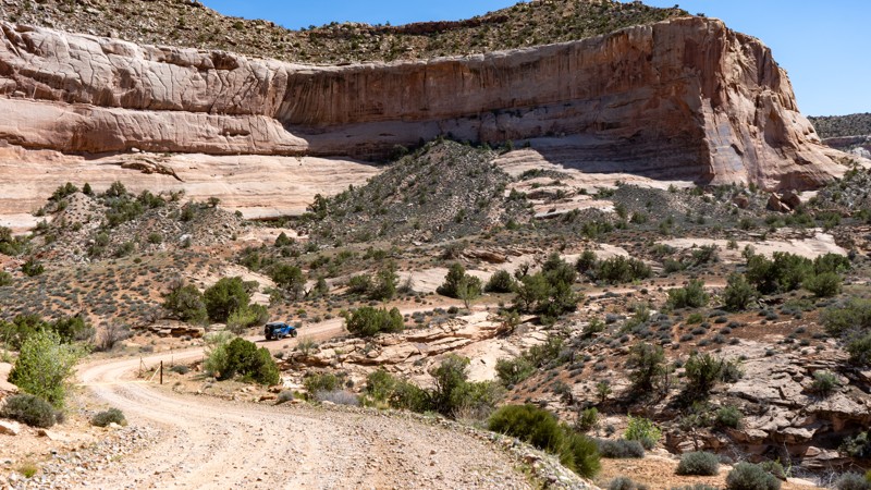
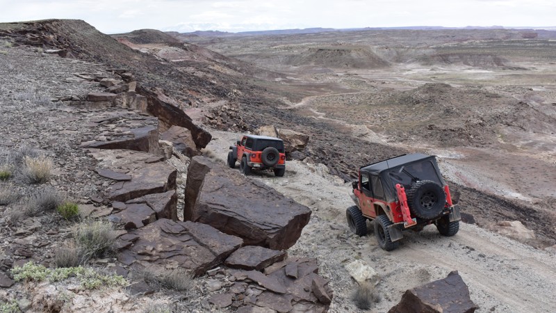
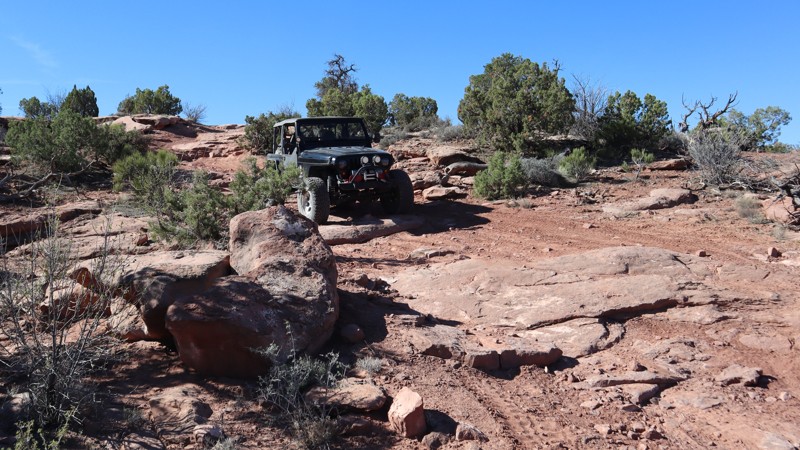
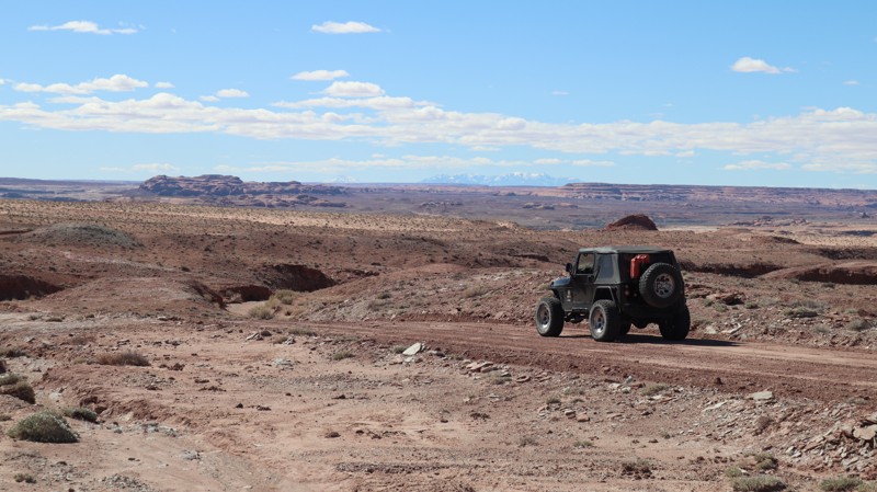
This trail can be run in both directions and in combination with other connecting routes in the area. As shown here, the trail starts at an intersection with the Bobby's Hole trail just below the Bobby's Hole Dugway. It descends a steep, rocky hill called Impossible Hill, which is not for the faint of heart. It is much rougher than the challenging Bobby's Hole Dugway, and most of it is on a narrow, off-camber shelf road with significant exposure. Once at the bottom of Impossible Hill, the trail follows the bottom of Cross Canyon for a short distance before turning left and following the long, flat Imperial Valley. The trail through this section is faint and overgrown with tall grass, as it follows a broad meadow surrounded by red rock spires and cliffs and is filled with wildflowers in the spring. There are a few rocky sections as the trail cuts between levels of the valley.
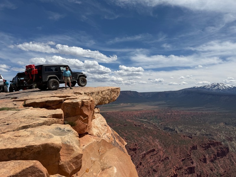
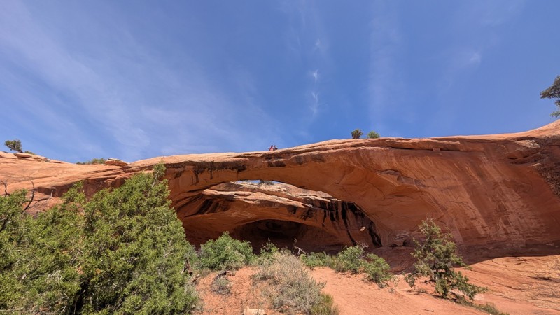
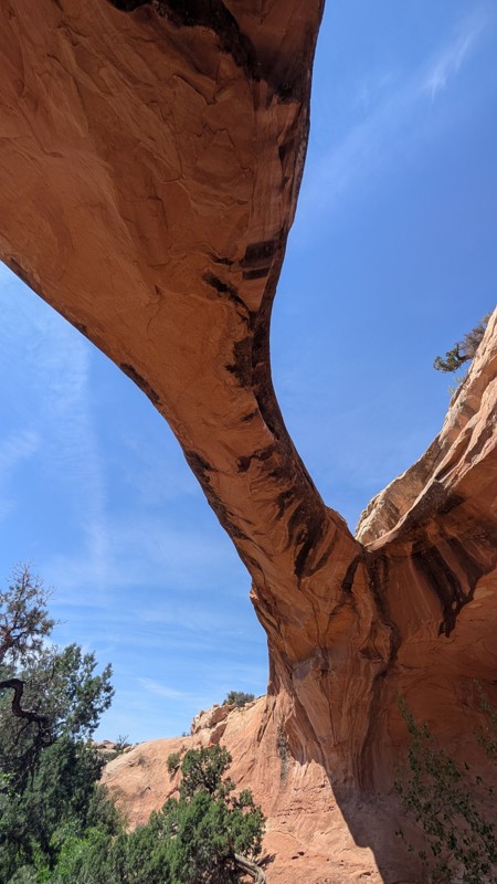
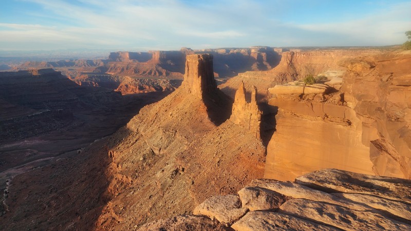
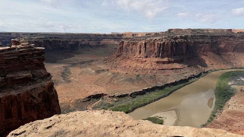
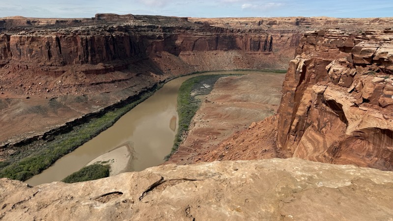
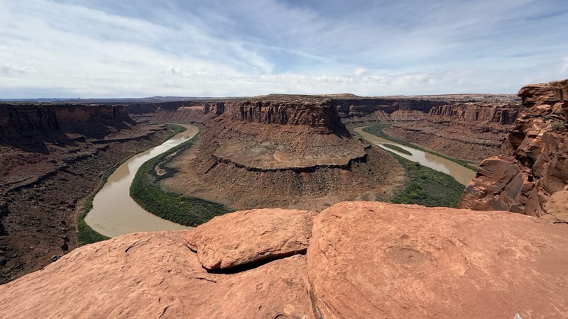
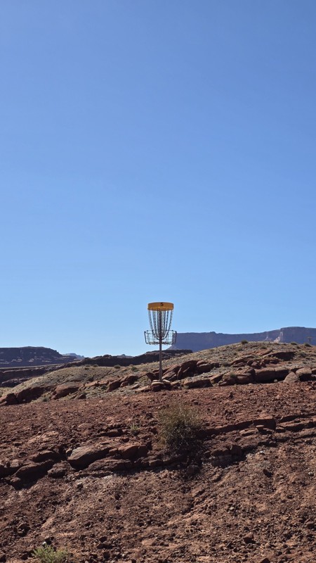
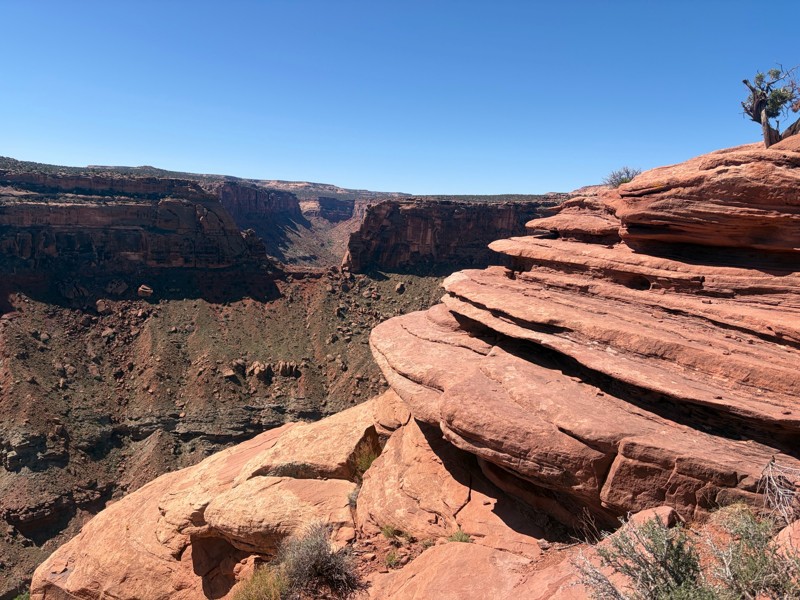
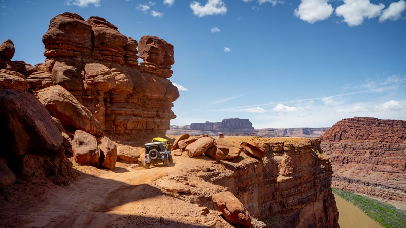
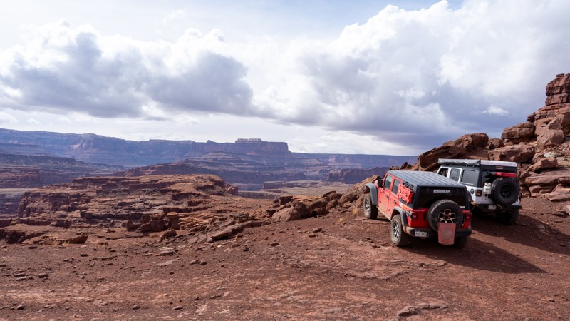
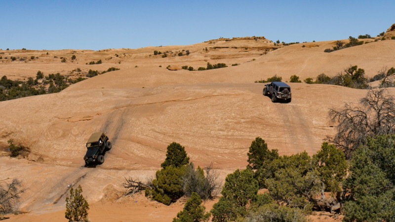
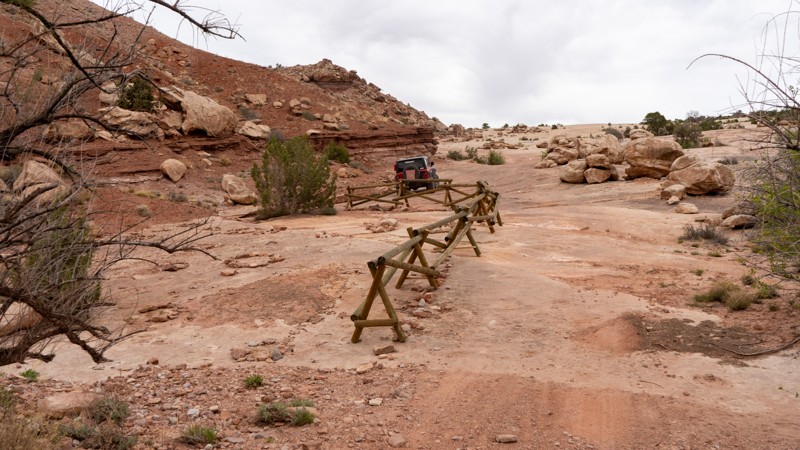
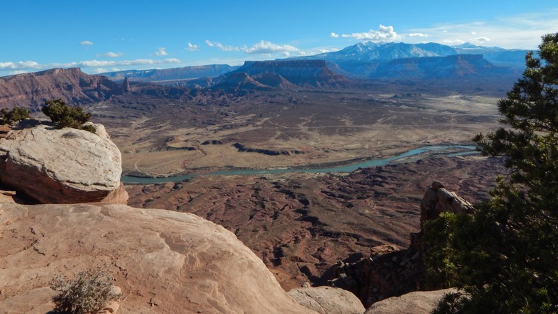
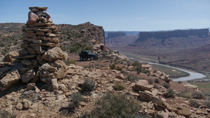
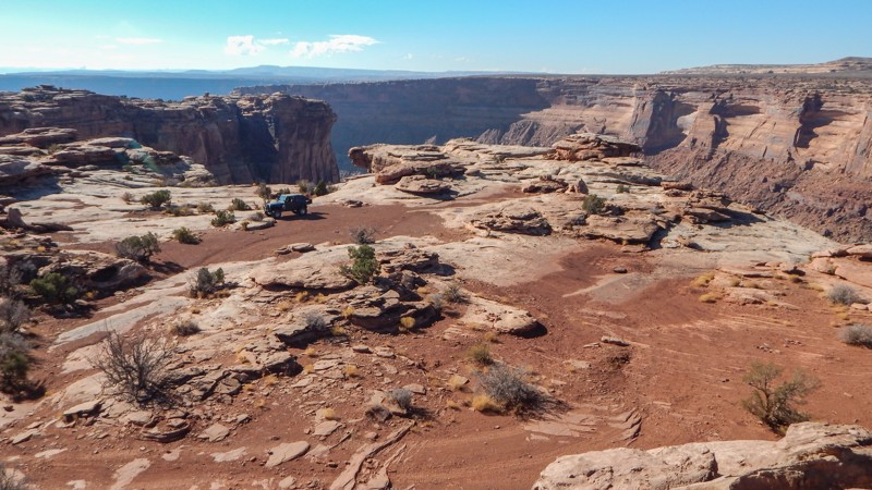
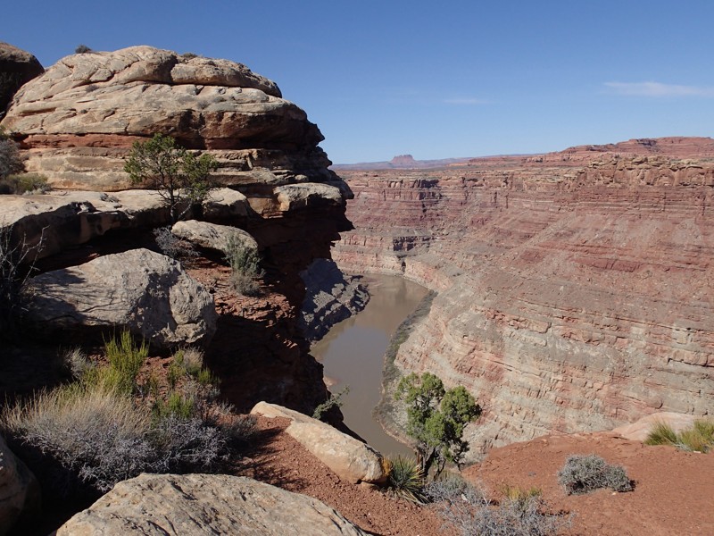
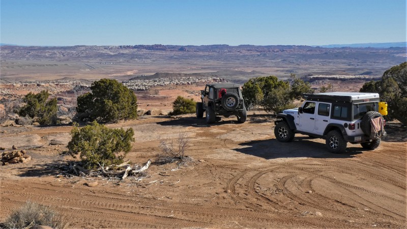
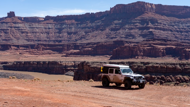
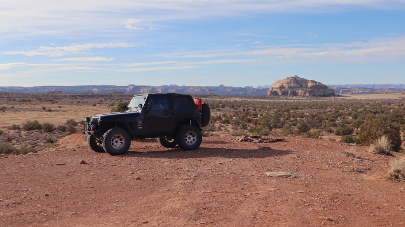
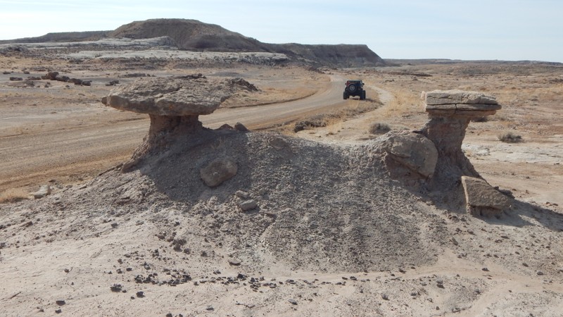
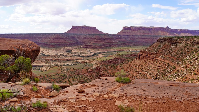
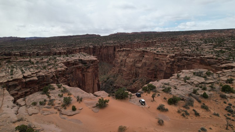
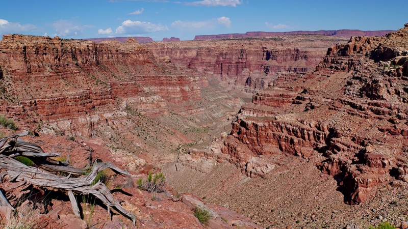
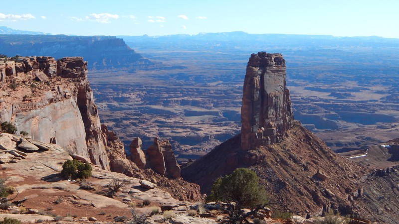
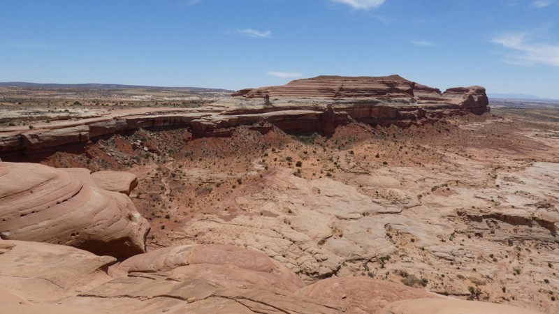
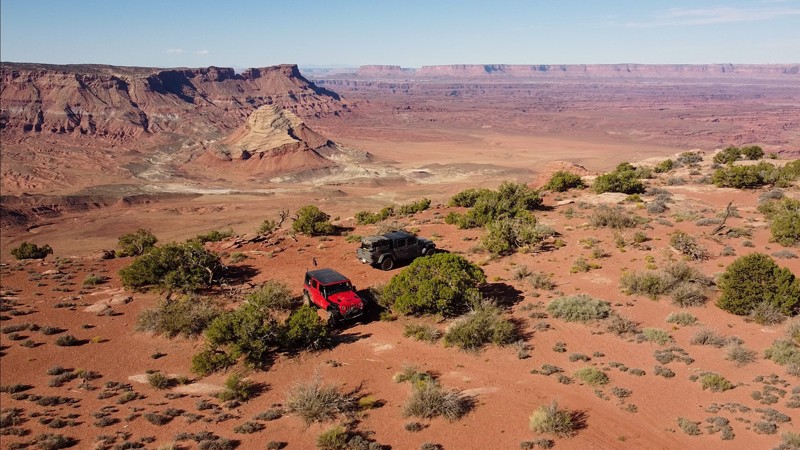
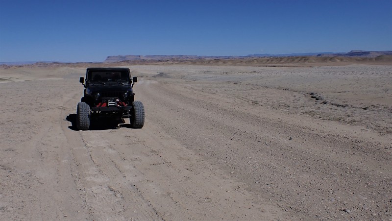
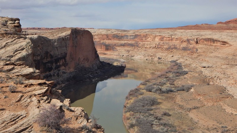
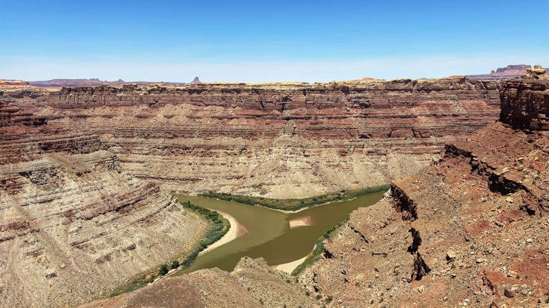
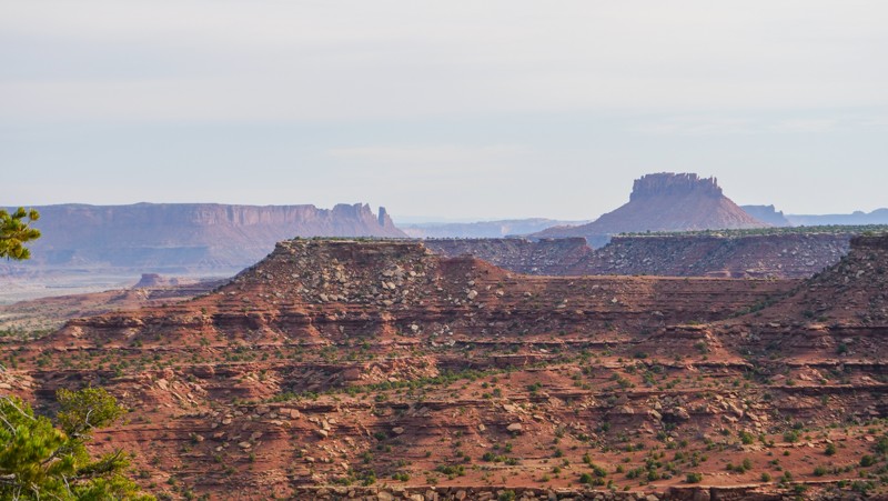
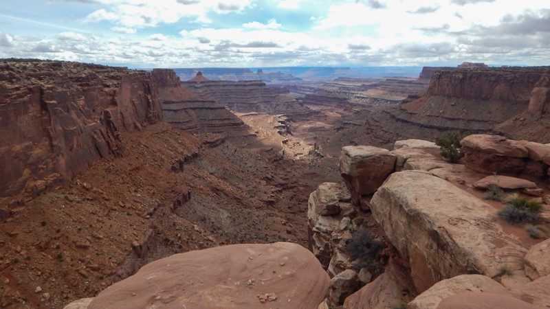
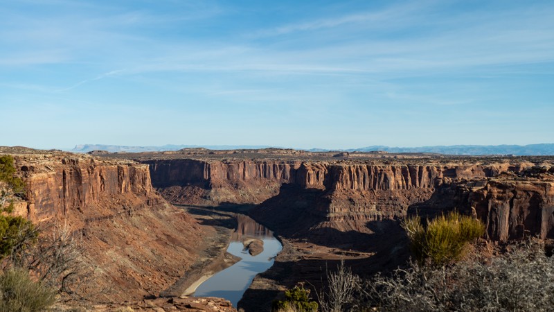
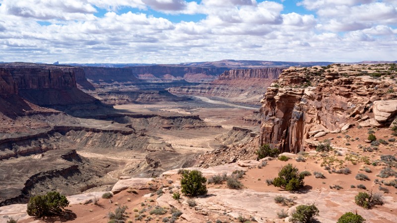
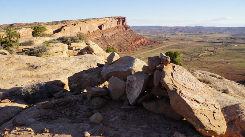
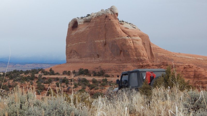
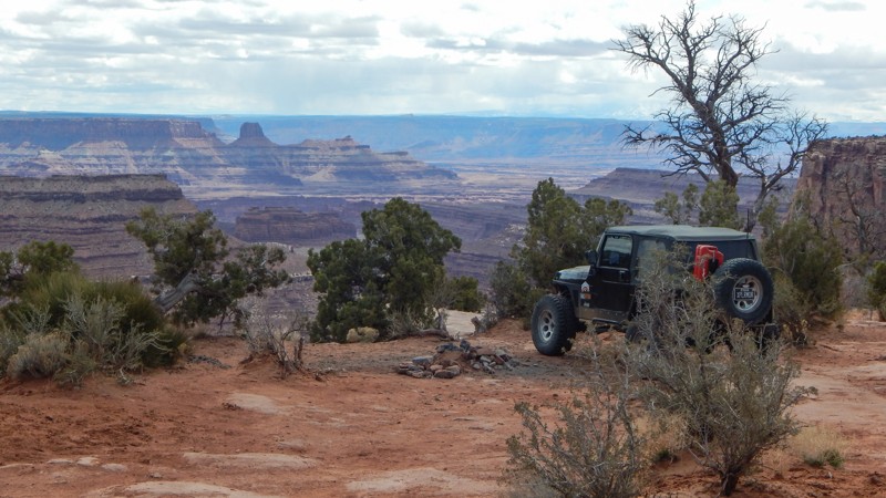
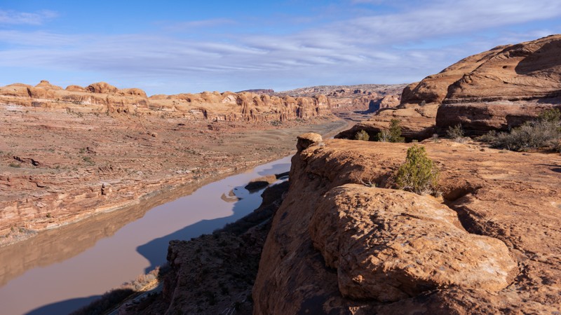
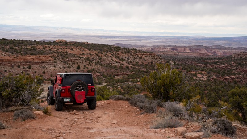
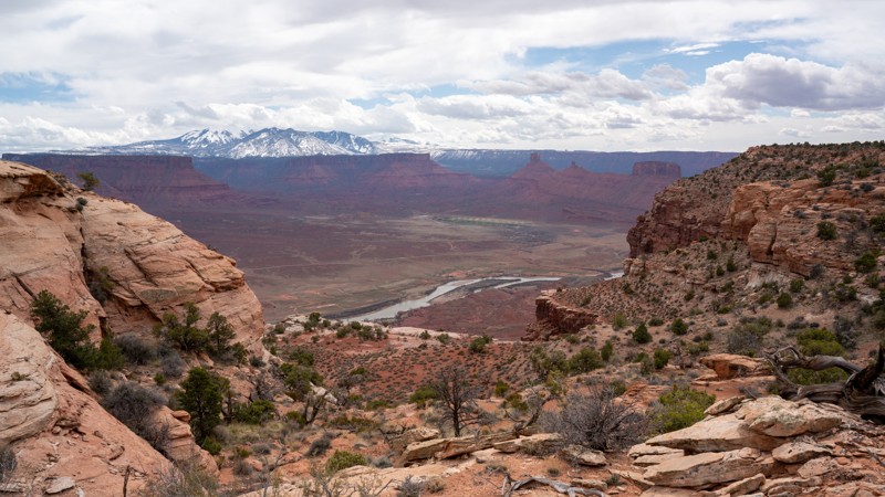
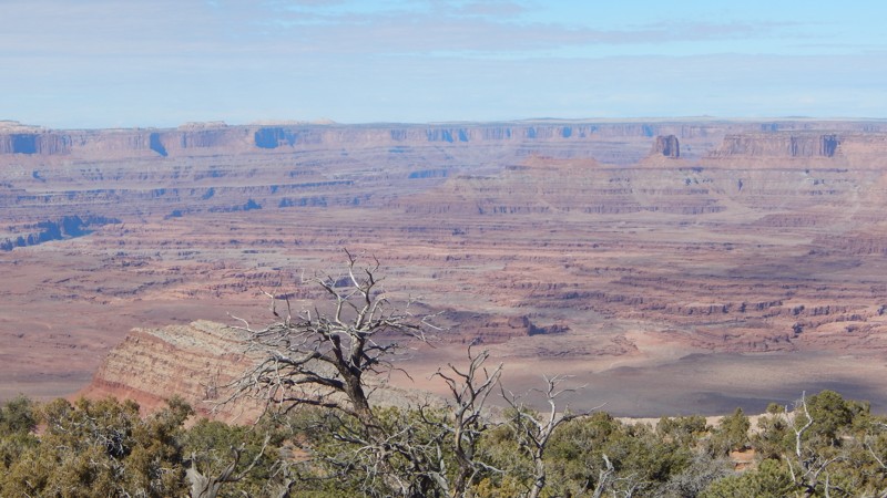
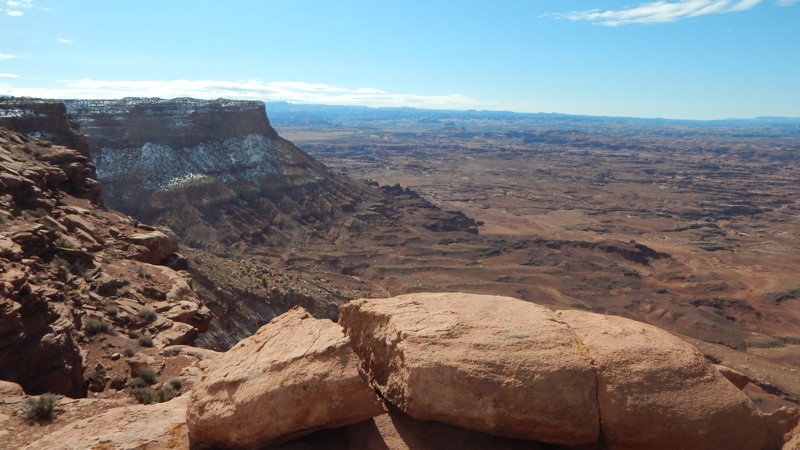
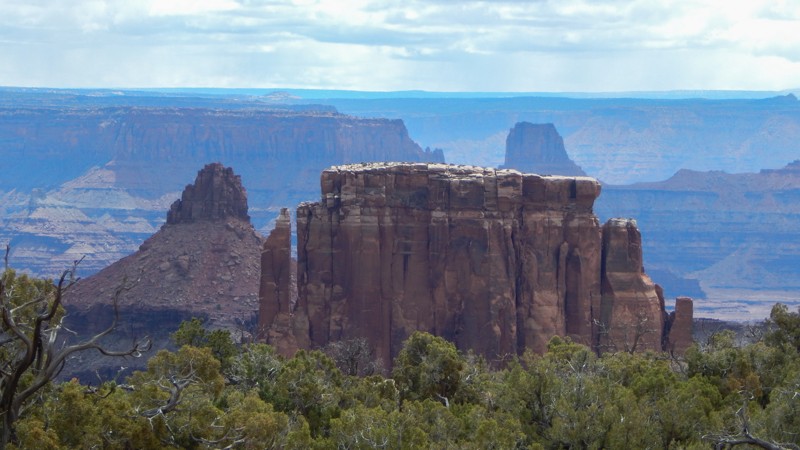
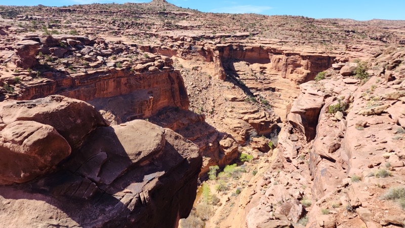
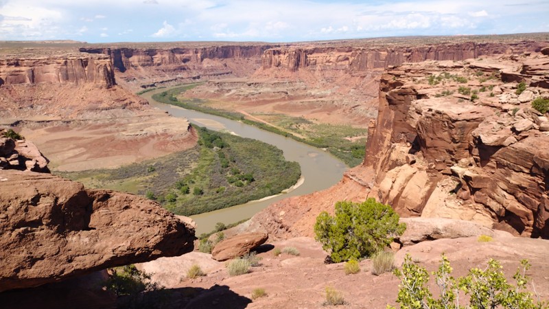
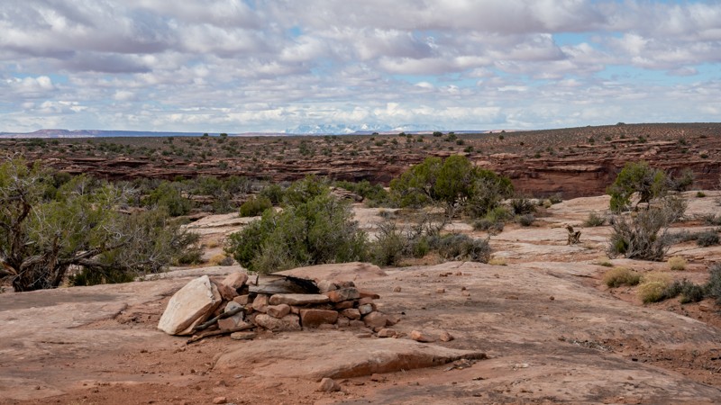
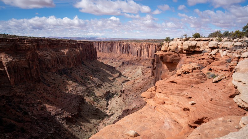
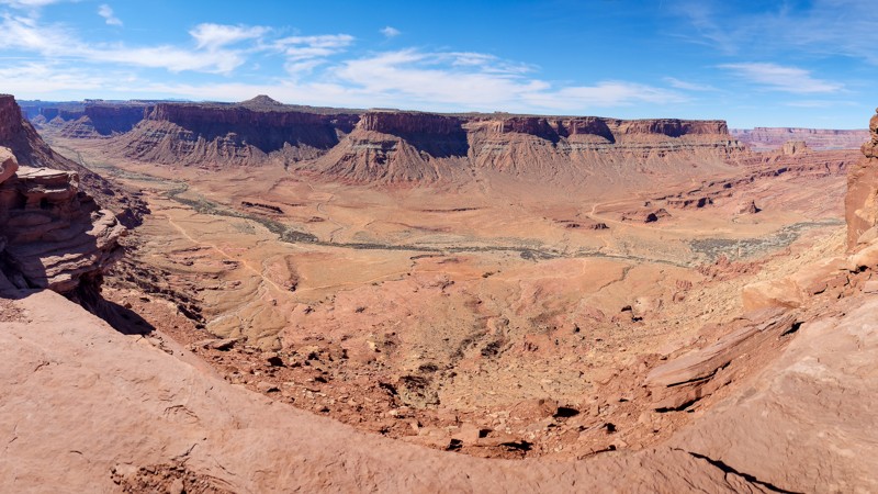
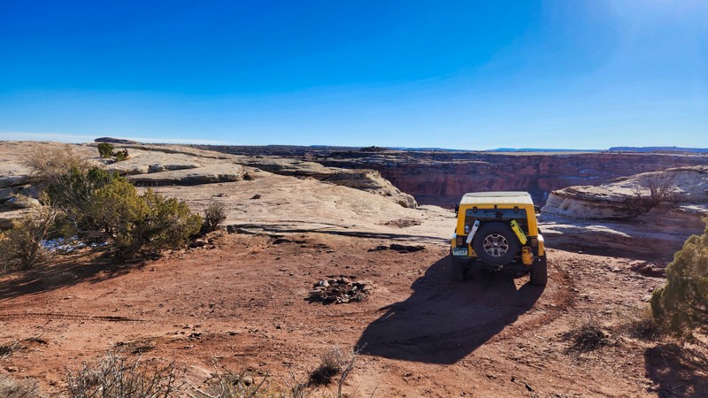
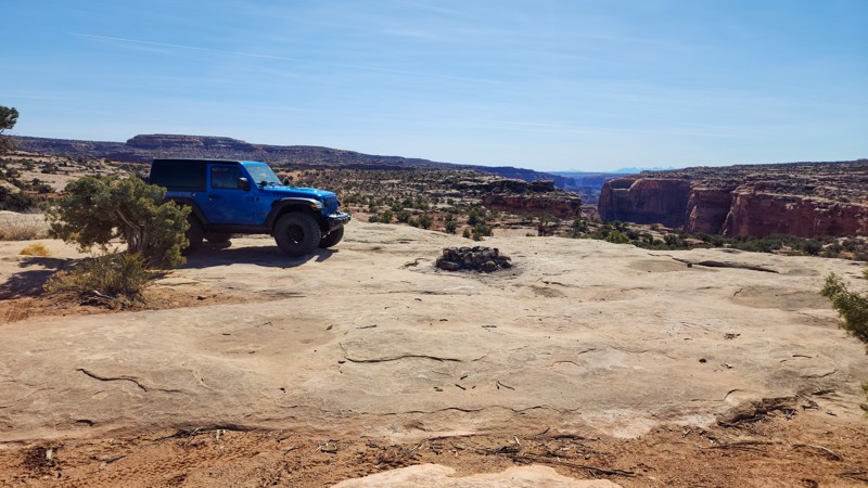
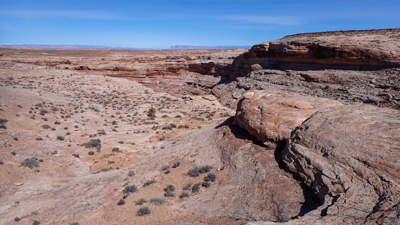
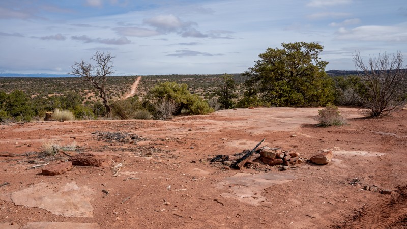
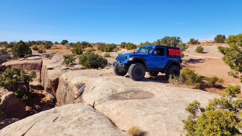
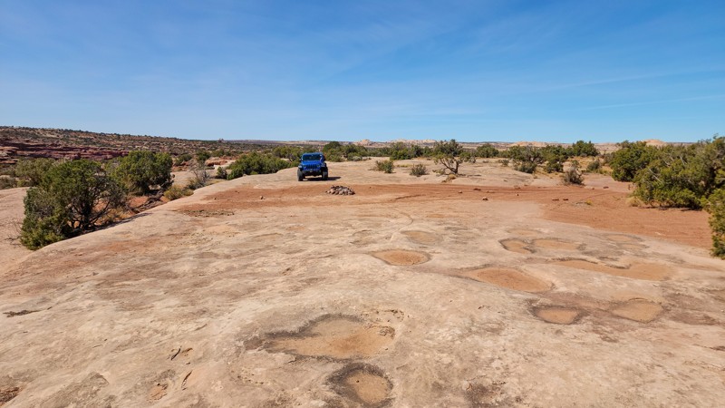
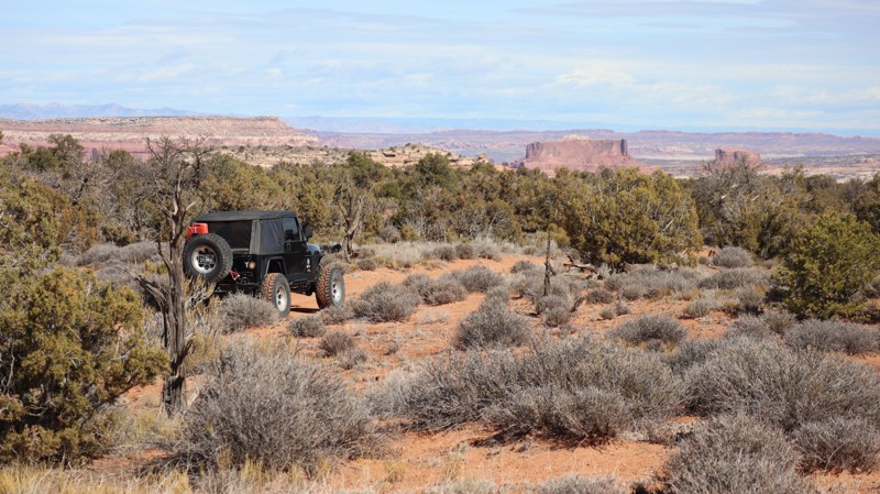
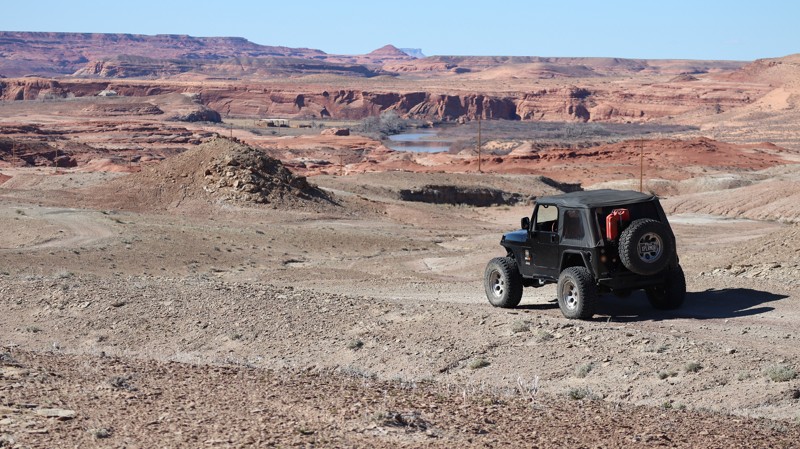
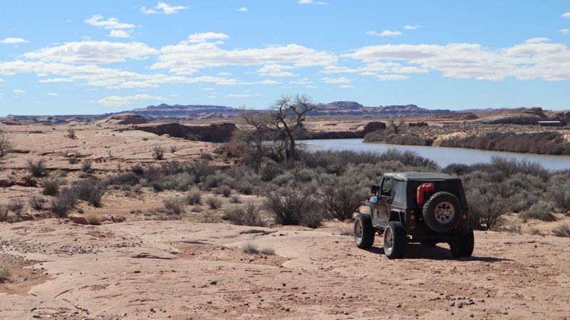
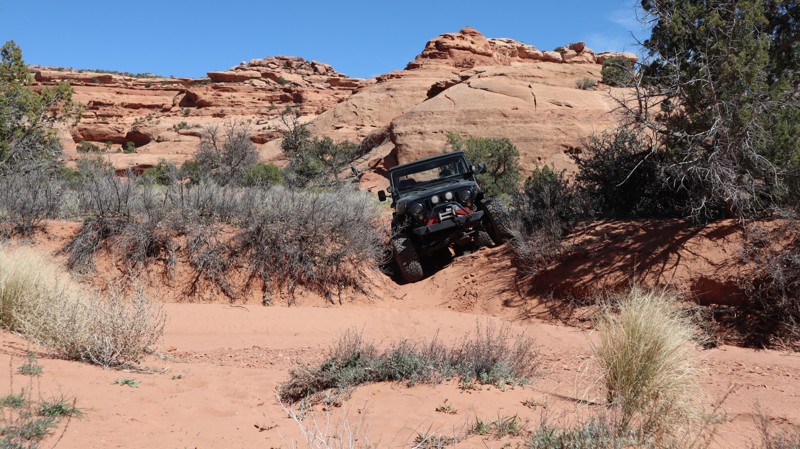
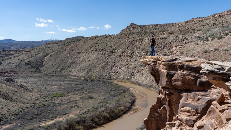
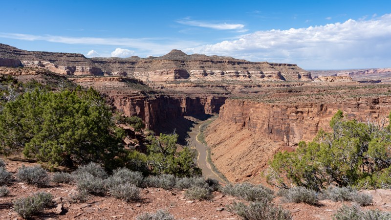
Near the far point, the trail cuts steeply in and out of a wash before reaching a short spur leading to a spectacular overlook at the head of Imperial Canyon, a side canyon of Cataract Canyon. There is also a nice campsite here, though it lacks shelter from the wind. Continuing past this side spur, the trail follows a sandy wash and loops back upon itself, forming a lasso shape. The trail is almost non-existent in places and may not be possible to get all the way through, though it can be clearly seen at the fork where it rejoins the main trail.
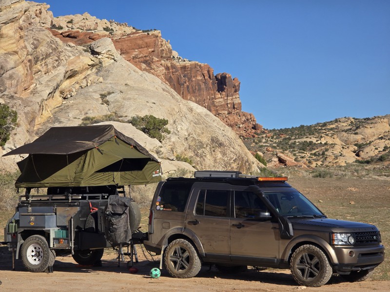
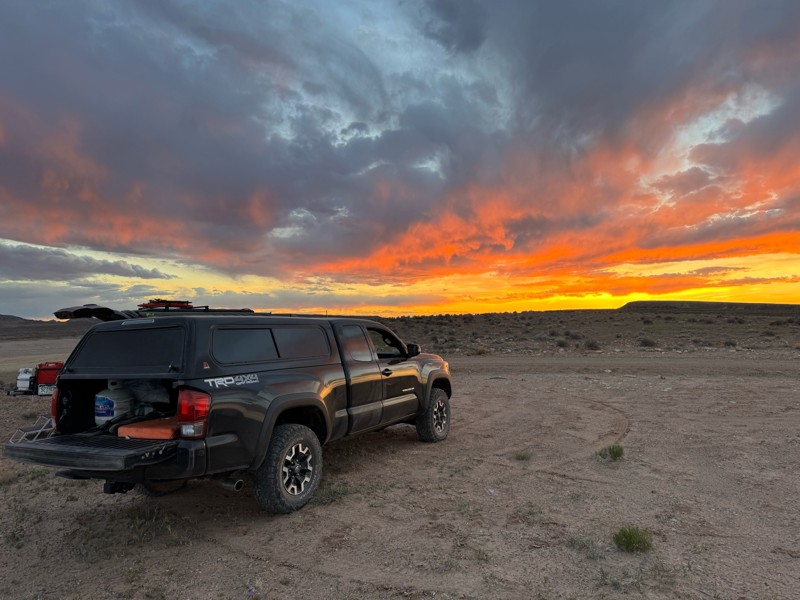
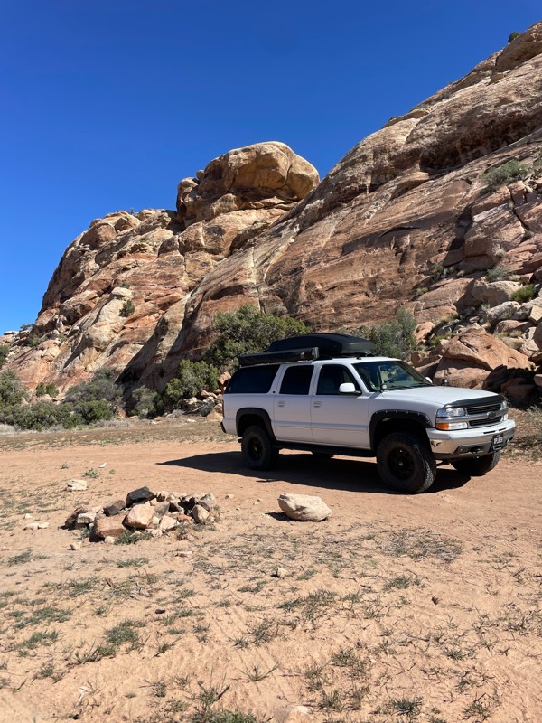
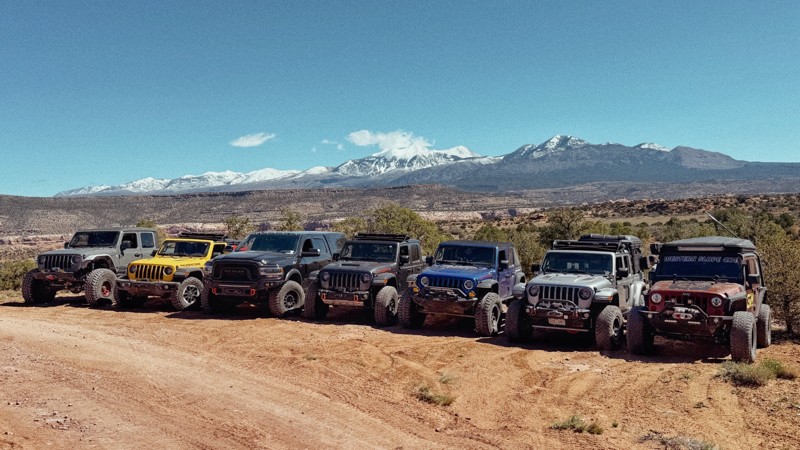
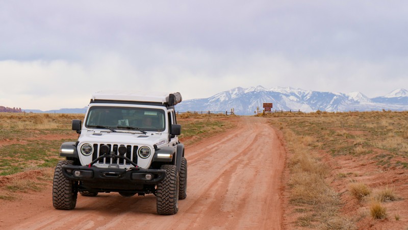
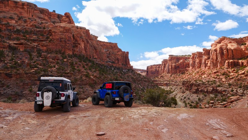
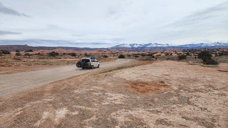
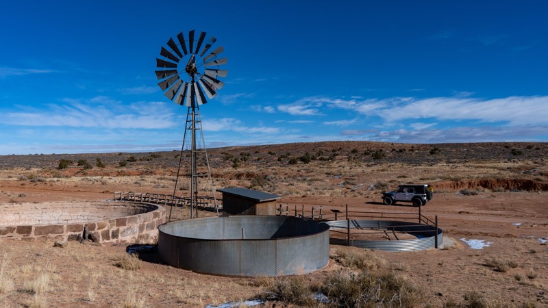
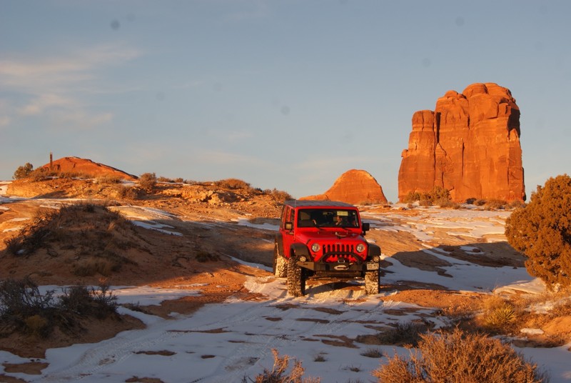
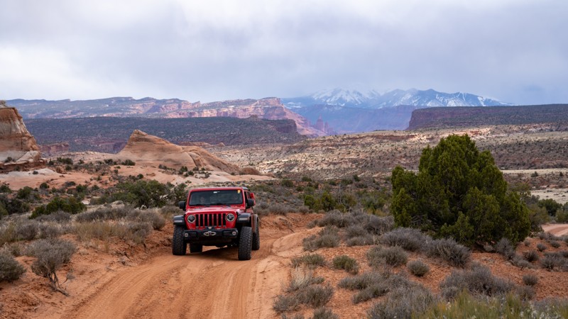
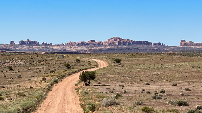
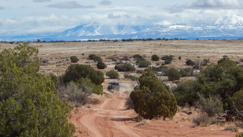
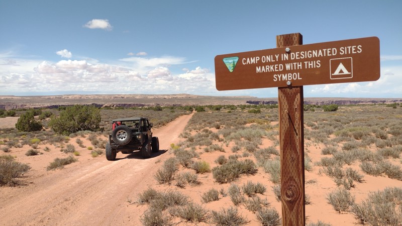
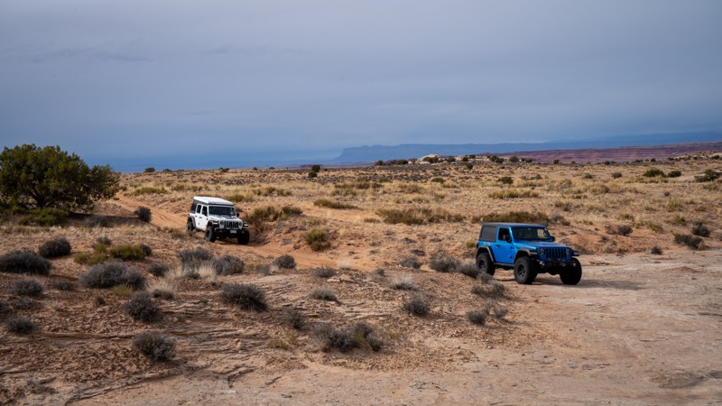
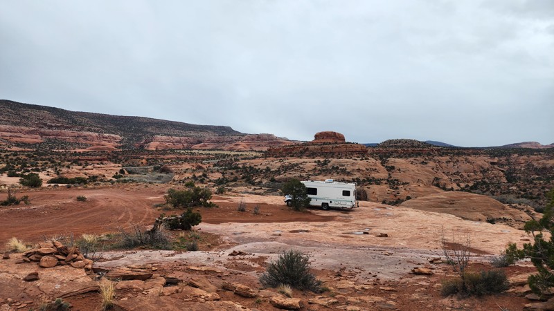
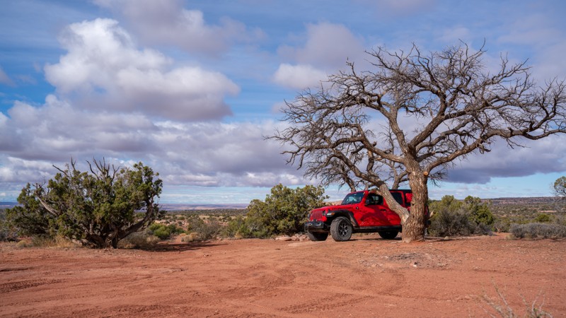
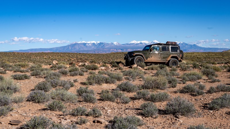
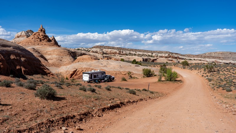
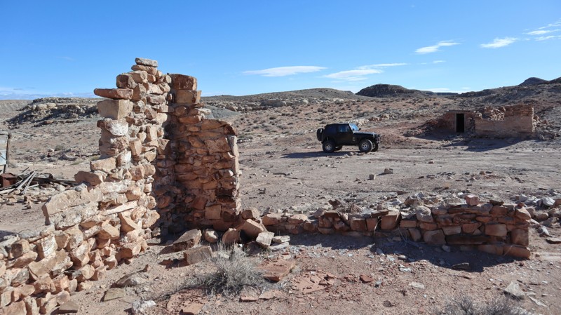
This is an excellent trail to drive as part of a multi-day overlanding trip through Beef Basin. Camping is allowed throughout the area, though only one established campsite exists. If it is windy, you may wish to find a more sheltered spot to camp.