




By clicking "ACCEPT", you agree to be the terms and conditions of each policy linked to above. You also agree to the storing of cookies on your device to facilitate the operation and functionality of our site, enhance and customize your user experience, and to analyze how our site is used.
California Off-Road Trails
415
Total Trail Guides 392

4112
Detailed Waypoints 524
Try a Free 7-Day Trial and unlock it all
Start a Free Trial Most Recent Trail Reviews
Rated 5/5
Open
Visited: 09/19/2026
Great beginner trail here for those looking to try out some rockier sections. Starting to trend a little closer to a rating of 4, but still a 3 I’d say

R
Rob
Rated 5/5
Open
Visited: 09/19/2026
I entered this trail from Freeway Ridge 4WD trail (31E77) and ran Black Gulch Jeep Trail up to Rancheria Road, turned around, and ran Black Gulch Jeep Trail all the way down to Keyesville Road in Lake...



Daniel Macioce
Rated 4/5
Open
Visited: 09/19/2026
Took out the vstrom 800de today and this thing was tough for someone like me who is pretty new to offroading motorcycles. I ended up turning around about half way because I wasn't sure if I would be a...
SK
sean kotrola
No Rating
Open
Visited: 09/19/2026
The trial marked by the app here is very difficult with all the recent deep washouts. Proceed at your own risk if you are by yourself with unmodified rigs. However the bypass is maintained and should ...
TB
Timmy Boby
Rated 5/5
Open
Visited: 09/18/2026
Very friendly fire watch tower volunteers and fantastic 360 degree views up top
R
Rob
Rated 5/5
Open
Visited: 09/18/2026
Great views and an easy drive through. Be sure to take the road up to the fire watch tower
R
Rob
Rated 5/5
Open
Visited: 09/17/2026
ran the trail twice last weekend, this is such a better way to go than 3n16...


Josh Noesser
Official Crew
Rated 5/5
Open
Visited: 09/16/2026
It's been 6 years since I visited this trail. It has seen some wear, but the overall difficulty is about the same, probably a bit higher now, as Waypoint 11 has suffered from traffic. Waypoint 11 ha...

Robert
Official Crew
Rated 5/5
Open
Visited: 09/16/2026
Started off from polique canyon at way point 13 and headed east. Its a great trail for most of it with scenic views. A good amount mud puddles that were fun as hell to drive through. Some I decided to...


VM
Victor Manuel Garcia
Rated 5/5
Open
Visited: 09/16/2026
Used this trail to get to Holcomb valley. Super easy and a nice drive, I can see how in the winter it can be a bit more challenging with rain and snow.
VM
Victor Manuel Garcia
No Rating
Open
Visited: 09/16/2026
Mostly easy, but heading NE there's a rock step down just a few miles in that *requires* high clearance. Banged the rear end of my 4runner despite having a 3" lift and 33" tires. A stock SUV would alm...



Carlos H.
Rated 5/5
Open
Visited: 09/15/2026
It's been over 4 years since I was last on this trail, and I was very happy to see that the old car was still there. Some research suggests that it is a 1939 Plymouth Road King 5-window coupe.


Robert
Official Crew
Rated 5/5
Open
Visited: 09/14/2026
A fun little detour off Burns Canyon. I ran this alone and stopped a few times to spot; I also used my grill camera in several places. I brushed my sliders a couple times, but no real issues. Definite...
EB
Ed Boyd
Rated 5/5
Open
Visited: 09/13/2026
easy perfect beginner off roader trail with great views and water crossing during the winter.



Dex Offroad
Rated 5/5
Open
Visited: 09/12/2026
Fenders Ferry kept giving me reasons to slow down and enjoy the ride. I loved winding along mountain ridges, following creeks, and catching glimpses of Shasta Lake's fingers tucked between the hills. ...



Rose Meirs
Official Crew
Rated 5/5
Open
Visited: 09/11/2026
super easy trail over looking the valley and 15fwy. only bad thing is that its super windy.

Dex Offroad
No Rating
Partially Open
Visited: 09/09/2026
Although you can cross the creek from Fordyce if you want, Committee Road is still closed back to the I80, so this has no exit, and you'll be forced back onto Fordyce.

Ryan Boudreau
Official Crew
No Rating
Temporary Closure
Visited: 09/09/2026
Road is still closed. I thought i read somewhere an expected 2030 opening, but can't confirm that info.
Ryan Boudreau
Official Crew
Rated 5/5
Open
Visited: 09/09/2026
This is an awesome trail . This trail is moderate with a few obstacles to make it fun. It also has incredible scenic views with a little bit of shelf roads. You can watch the full video on my YouTube ...


Dex Offroad
Rated 5/5
Open
Visited: 09/07/2026
Pretty spot on with the rating, was a little tough today with the rain but made it through in my 2023 Gladiator Overland with 2.5” lift and 35s with autolynx sway disconnects.


CT
Christopher Tanton

Shaan Heugly
Rated 5/5
Open
Visited: 09/06/2026
Drove reverse from what’s listed to the jasper trail. This is a easy but enjoyable trail with plenty of places to camp at the end of the
Shaan Heugly
Rated 5/5
Open
Visited: 09/06/2026
Bit washed near the top but nothing difficult to navigate. I headed from jasper to the highway and near the highway it did narrow. I got through with my Tacoma but there are a few pinch points I could...
Shaan Heugly
Rated 5/5
Open
Visited: 09/06/2026
Mostly easy trail but when going south to north, I did need to use 4Lo on some of the inclines with a loaded Tacoma
Shaan Heugly
Rated 4/5
Open
Visited: 09/05/2026
It had been five years since I last drove this trail. The long, annoying stretches of moguls are still there, and water erosion has added a touch more difficulty in places. It was nice to see the old ...


Robert
Official Crew
Rated 4/5
Open
Visited: 09/05/2026
This is a nice trail with great views for any 4WD with ground clearance as some sections have ruts that are 12+ inches deep. Things were very dry on my visit, so airing down the tires helped to smooth...


SG
Steve Graham
Rated 3/5
Open
Visited: 09/05/2026
From waypoint 7 to 10 the water damage is pretty bad. Waypoint 13-16 it is rocky. Nothing crazy but a few spots where patience and the right line will go a long way. Good clearance and 4x4 recommended
N
Noah
Rated 5/5
Open
Visited: 09/05/2026
Easy trail with an awesome view at the end. There were three lookouts in the fire tower and each one was super friendly and informative. Must see trail!


N
Noah
Rated 5/5
Open
Visited: 09/05/2026
fun easy trail, Butler Peak lookout is the highlight imo
N
Noah
Rated 5/5
Open
Visited: 09/04/2026
Trail was very well maintained. Thanks for the Fresno 4x4 club. It was very cold at night, into the 30s. We were on the trail two nights, 3 days and two nights at voyager rock due to a breakdown fr...
JD
John Drago
No Rating
Open
Visited: 09/04/2026
Beautiful area, but the trail itself wasn’t very interesting. I’d rate it around a 3/10, with a couple of optional sections that might push a 4.
There’s tons of dispersed camping throughout the area,...


Ryan Smith
Rated 5/5
Open
Visited: 09/01/2026
awesome trail with a lot of water crossings. just be careful of sxs and bikes since its a OHV area.

Dex Offroad
Rated 5/5
Open
Visited: 09/01/2026
Super easy trail and you can over look the high desert. Trail ends at an awesome view point.

Dex Offroad
Dex Offroad
Rated 5/5
Open
Visited: 08/31/2026
This trail is much harder than it used to be. It’s just as breathtakingly beautiful as ever. You are on your own out there. Fuel, parts, spare tire. It’s days from help if you need it so go prepared. ...

CP
Christopher Pepin
No Rating
Open
Visited: 08/30/2026
Ran this trail today and had fun. Easy trail with great views. I wouldn’t hesitate to take an experienced driver in a stock jeep up this. There are lots of trails in this area and way to get off the m...

CP
Christopher Pepin
No Rating
Open
Visited: 08/29/2026
Trail was in good shape, a little less sand makes the boulders a little bigger. People have made the bypass around the sluice a little bit longer than it used to be you miss a lot of the good rocks. O...
C
Campbell
Rated 5/5
Open
Visited: 08/29/2026
An often overlooked and amazing trail. It’s about the length and difficulty of the rubicon if you don’t hit any of the bypasses on the rubicon. We had a group of 3 lj on 40s, a jku on 42s, and an Xj o...
CP
Christopher Pepin
Rated 4/5
Open
Visited: 08/27/2026
This is most definitely a hard trail. Is the entire thing hard? Not at all. The western 7 miles are a hard packed dirt road. Then you run into 3 straight, large boulder obstacles where its clear many ...


Ryan Boudreau
Official Crew
Rated 4/5
Open
Visited: 08/27/2026
Easy drive with beautiful views and . . . Buck Rock! Lots of camping south of Buck Rock, but camping north of the Rock isn't as plentiful. There are a few others on the north, but there's one here: 36...


Carlos H.
Rated 5/5
Open
Visited: 08/26/2026
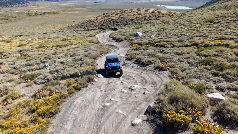
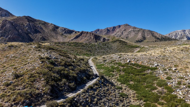
5 stars all day! This trail is absolutely amazing, and one you do not want to miss if you are in a capable vehicle in the area. It is rough, rocky, steep, and narrow enough to weed out the vanlifers a...
Ryan Boudreau
Official Crew
Rated 5/5
Open
Visited: 08/26/2026
I really enjoyed this road. It's super scenic with the sierra's in the background, the white beaches, and the columns are really cool. The road is not anything challenging with a high clearance vehicl...


Ryan Boudreau
Official Crew
Rated 4/5
Open
Visited: 08/25/2026
Fun area. The hot springs are pretty popular and well-known, and because they are small, you'd better hope you are one of the first people there that day if you want to get in. The route is easy, exce...


Ryan Boudreau
Official Crew
Rated 4/5
Open
Visited: 08/25/2026
I liked this trail a lot, but it's not quite a 5-star trail for me. I feel like it's a little overhyped. Is it scenic? Absolutely! Is there tons of great camping? Totally! Is it a crazy busy? You Bet!...


Ryan Boudreau
Official Crew
Rated 4/5
Open
Visited: 08/25/2026
Road to the hot springs parking area is easy. There are regular passenger cars there. The hike is easy too. The tub itself is super scenic, but know that they are not hidden gems by any means and we'l...

Ryan Boudreau
Official Crew
Rated 3/5
Open
Visited: 08/25/2026
It's a simple road, but definitely very scenic and really only used to get from Convict to Laurel Lakes or Mammoth. Road is suitable for anything with decent ground clearance.


Ryan Boudreau
Official Crew
Rated 2/5
Open
Visited: 08/25/2026
Simple dirt road used to access other types of recreation. Many signs remind you that you aren't allowed to camp along it except at the campground.


Ryan Boudreau
Official Crew
Rated 3/5
Open
Visited: 08/23/2026
Simple, straightforward dirt road used for fishing access.


Ryan Boudreau
Official Crew
Rated 5/5
Open
Visited: 08/23/2026
Amazing views at the top of this trail. Erosion looks to be making this trail harder than it probably originally was. Most of the hardest spots are getting bypasses created around them. A short, st...



Dan Jurgella
Rated 5/5
Open
Visited: 08/23/2026
Toad Lake Road 40N64 was a long, slow, and wonderfully remote drive into the Trinity Divide. The changing mix of old pavement, dirt, loose rock and deep ruts kept the journey interesting, while forest...


Rose Meirs
Official Crew
Most Popular

Updated: 10/09/2025
SS1418
Homestead Valley, California
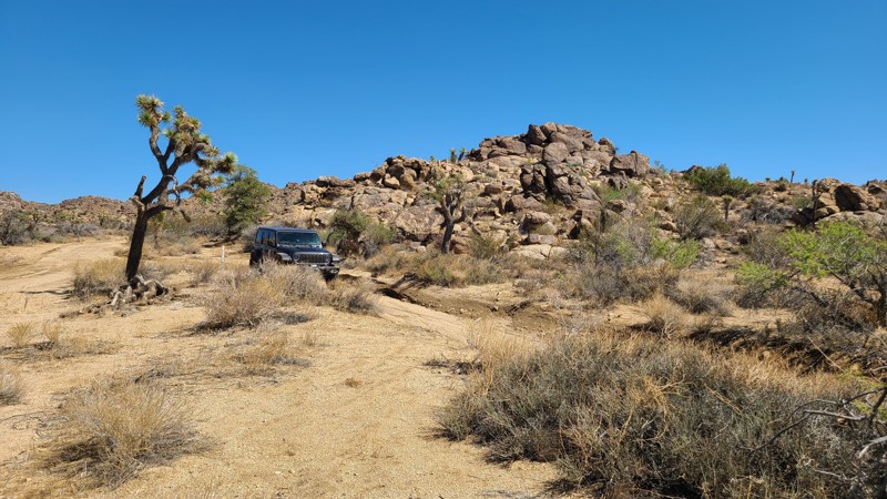
Near the north end of the Black Lava Butte and within the Sand to Sea National Monument, SS1418, also labeled as RC1418, moves over a flat sandy desert spotted with Joshua Trees while intersecting several other driving and hiking trails that explore this area. At the trail's western end, it merges with Roadrunner Rut.
The flat terrain of the trail makes for abundant suitable dispersed camping with sites large enough for a few vehicles, but without shade. The best camp spots are next to the boulder formations that dot the trail and provide wind shelter.
SS1418 is an easy trail with no obstacles other than an occasional smooth boulder embedded in the sand. It can easily be handled by any high clearance.
Updated: 04/22/2026
Little Bear Spring Spur B
Fawnskin, California
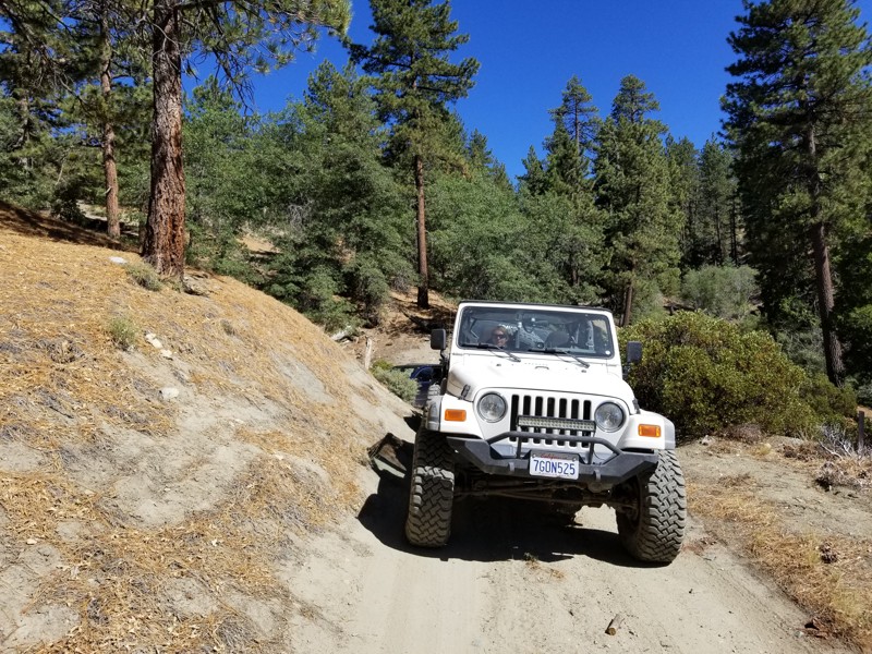
2N84B wraps around Delmar Mountain in the San Bernardino National Forest near Big Bear Lake, California. It is an out-and-back trail with rough terrain, several narrow sections, and moderate hill climbs. It is suitable for most stock 4x4s and new drivers. The trail ends near the Pacific Crest Trail, where you can find several flat tent spots.
Updated: 04/10/2026
Vanderbilt Ghost Town Road
Vanderbilt, California
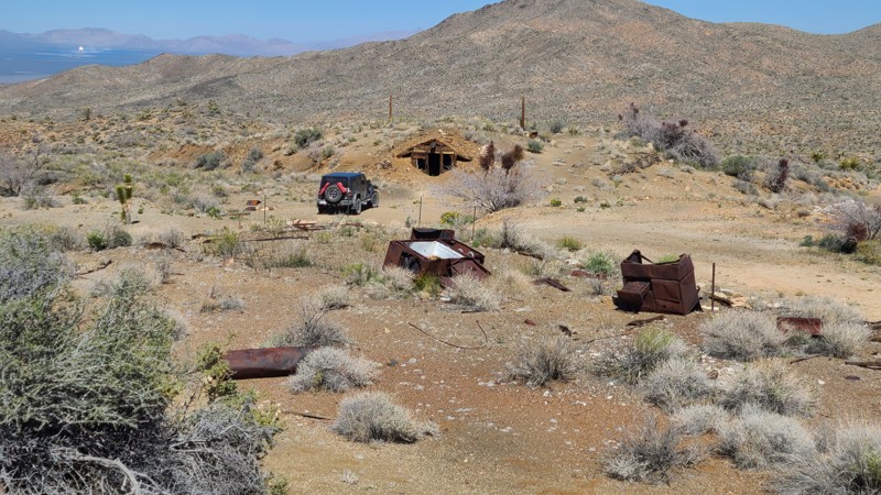
At the end of this short trail within the Mojave National Preserve are the remnants of the boom-to-bust mining town of Vanderbilt. Established in 1893 to support the several gold mines in the area, at its peak, this tent city had a population of 400 served by saloons, hotels, restaurants, a general store, a post office, and even a church. The only two-story building in town was a hotel/saloon owned by Virgil (brother of Wyatt Earp). The town was abandoned around 1900 as the mines paid out, leaving time, weather, and fires to erase much of its presence, and it is now protected by the Mojave National Preserve to tell the story of the region's mining history. Today, no standing structures remain, and the town consists of the remains of miners' huts, scattered relics, rusting equipment, and unprotected vertical mine shafts. Along the way, the trail passes several miners' huts with their carefully laid rock walls still standing. At the site of the town are two surviving wooden huts built into the side of the hills.
Several dispersed campsites with large flat areas and existing rock fire rings can be found at the end of the trail.
The trail is an out-and-back up a shallow incline, with the only obstacle being a short section of weather-worn depressions. An experienced driver using a two-wheel drive vehicle with good ground clearance would enjoy this trail, but Four Wheel Drive is recommended.
Updated: 05/26/2026
EP 152
Goler Heights, California
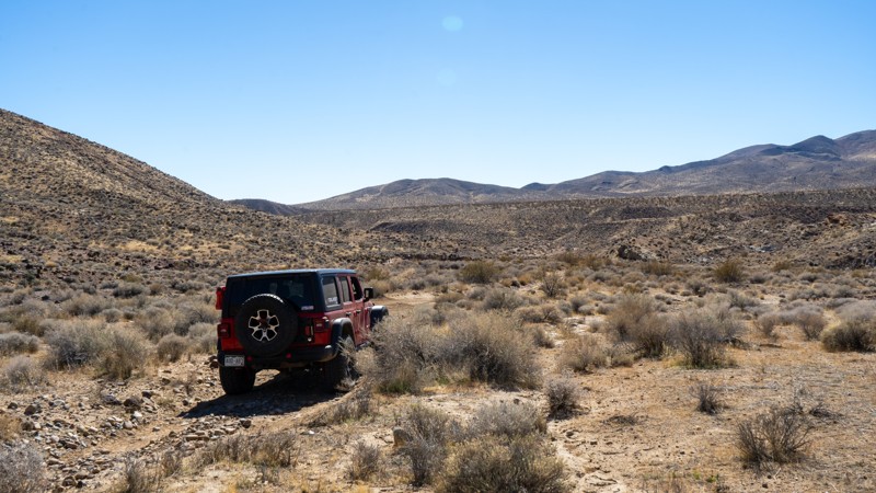
EP 152 is a simple, bumpy dirt connector trail between the more popular EP 15 and The Narrows. Other than the steep dirt drop into the wash at the southern end, this shortcut is not overly challenging. Although not long, this trail provides good scenery of the surrounding hills and the barren California desert landscape. Due to its short nature, no camping is found along this trail.
Updated: 09/09/2026
Deadman Pass
Mammoth Lakes, California
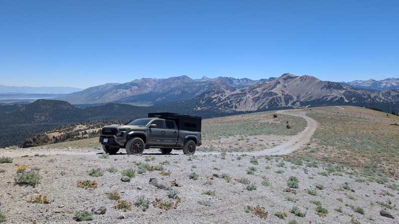
Next to Mammoth Mountain, a tan track stands out, emerging from the alpine trees, heading towards the next peak. For any explorer, the burning question arises, "What's up there?" The adventure and views of Deadman Pass surely do not disappoint!
The trail (26E201) begins near the Minaret Summit Lookout, just before the entrance to Devils Postpile and Reds Meadow. Start by meandering through the alpine trees with a few avoidable deep ruts along the way. These trees and tight turns may pose a slight challenge for full-size trucks, but can be maneuvered around with the right attention. Before the wide-open stretch to the top, a rocky climb presents the biggest challenge. Most stock 4x4 vehicles can handle these rocks with a carefully chosen line, but high clearance is recommended. After exiting the trees, a smooth, steady climb with breathtaking 360-degree views awaits. Once at the summit, there is a small space to turn around, but it may not be large enough for multiple vehicles at one time. With stops for pictures and to enjoy the views, the trip is about 30 minutes each way.
Updated: 08/11/2025
Chuckwalla Springs Trail
Fenner, California
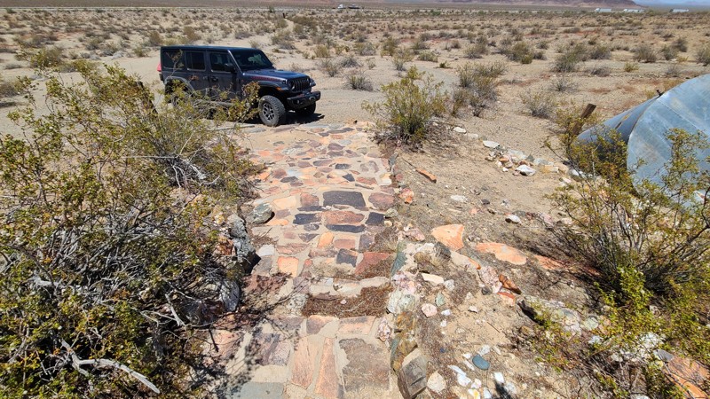
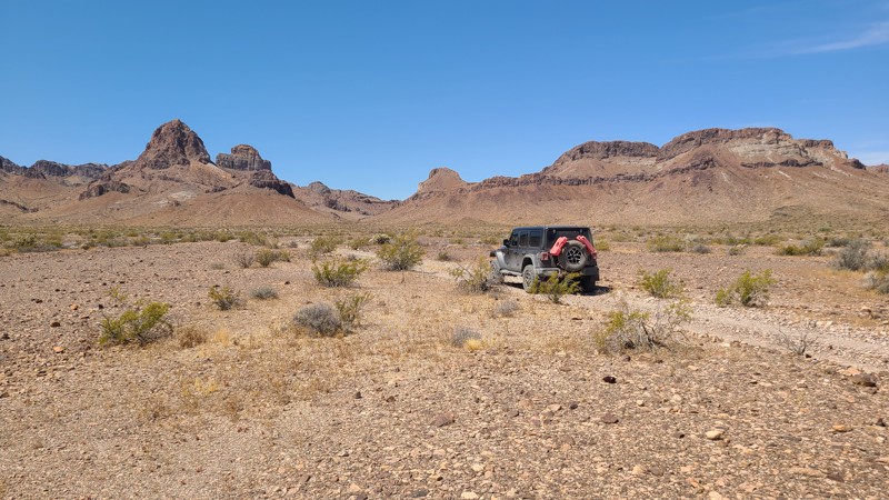
Soon after turning onto the sandy tracks of Chuckwalla Springs Trail, a distant tunnel presents itself. These tunnels or underpasses are designed to allow various wildlife, like desert bighorn sheep, to safely cross beneath the highway and are also designed to be wide and tall enough to allow passage of full-size vehicles. After emerging from the tunnels, the remnants of Gold Hammer Mine appear. The remains of a mill, bare concrete slabs where the building once was, and fenced-off mine shafts remain. The mine front presents an extremely well-preserved rounded flagstone staircase and a flagstone trellised garden appearing more as a luxurious home entrance than a working gold mine. Continuing past the mine, the road eventually follows a wash and ends at the edge of the Clipper Mountain Wilderness, where a 1.5-mile hike will reach Chuckwalla Springs.
Past the mine and over a hill, the only dispersed campsite seen from the trail is on a large area of flat desert pavement that does provide a wonderful view of the Clipper Mountains.
This is an easy trail over soft sand but requires a four-wheel drive, high clearance vehicle.
Updated: 06/10/2026
Lost Arch Inn & Lisa Dawn Trails
Needles, California
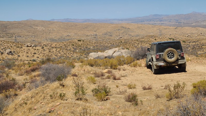
Heading into the Turtle Mountains, Lost Arch Inn Road and Lisa Dawn Trail lead to the Lost Arch Inn. Where once a miner's cabin stood, the “Inn” is now an improved BLM campsite with impressive views of the steep walls of the Turtle Mountains. Bordering the Turtle Mountains Wilderness to the west, the road provides easy access to many hiking trails where spring cacti floral displays are bountiful, and quiet patience will reveal the local wildlife. The Lost Arch itself is a natural arch found only when hiking into the wilderness, and legend suggests the arch is a landmark for a nearby gold mine. The Lisa Dawn Mine vertical shaft is located only 75 feet north of the Lost Arch Inn campsite, and iron mine grates protect curious explorers. In 1962, the 100 lb "Needles Meteorite" was discovered next to the Lisa Dawn Trail and was quickly removed, and today, there remains no evidence of its landing site.
This is an easy path, but the uneven rocky road will require a high clearance vehicle needing only two-wheel drive.
The Lost Arch Inn campsite is located at the westernmost section of the trail, tucked up against the steep wall of Turtle Mountain, where a covered table and metal fire ring with a grill are provided.
Updated: 09/24/2025
Oak Springs Road
Fizzben Heights, California
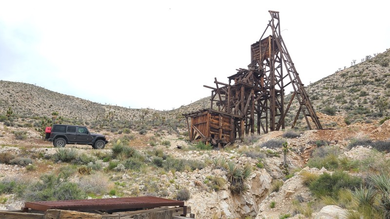
Located on the southern slopes of the San Bernardino Mountains and within the beautiful Juniper Flats desert area, Oak Springs Road's 4,500-foot altitude provides endless views to the west, with access to several hiking trails and intersecting BLM-designated roads to explore.
There are a few dispersed campsites along its length, offering a choice of single-vehicle campsites with views to the west or tucked next to the spectacular boulder formations that line the trail.
This is an easy trail requiring only a two-wheel drive vehicle, but with some clearance to handle the occasional embedded boulders and water-worn furrows across the road.
Updated: 05/20/2026
Kessler Peak Road
Wheaton Springs, California
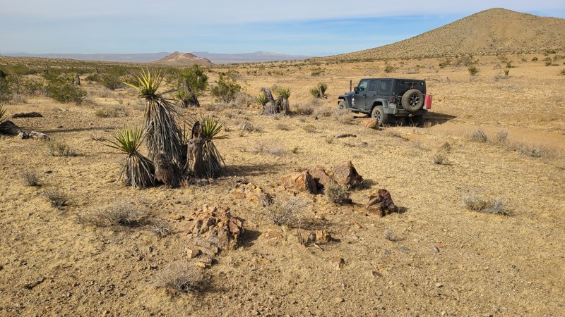
Kessler Peak Road follows the valley between the Striped and Ivanpah Mountains in the Mojave National Preserve. The road travels through a heavily mined area with no shortage of intersecting trails and mines to explore. Perhaps the most easily reached and most interesting mine is the Evening Star Mine. Originally one of the many area claims made by J. Riely Bembry (of Riely's Camp), he sold the claim, and the new owners erected a massive head frame and operated it as a tin mine from 1939 to 1944. The 50-foot-tall head frame or guillotine is still standing strong, allowing visitors a close inspection. The mine used cables and pulleys to lift buckets loaded with ore from the adjacent mine shaft and dump them into the top of the head frame, where it was crushed in preparation for shipment and refinement. Continuing from there, the road enters the Shadow Valley basin, where it becomes surrounded by a decimated Joshua Tree forest, the effect of the 2020 Dome fire.
Many dispersed camping sites can be found along the road, especially at the mine sites, with the best camping at the southern end of the road at Sunrise Rocks Campsite. Sunrise Rocks Campsite offers several campsites comfortably nestled amongst the rock jumbles, with rock or iron fire rings and large flat areas for multiple vehicles and tents.
Most of the road is easy over flat compacted gravel, but sections, especially near the north end and the spurs leading off the road, can be made up of sharp-edged, cantalope-sized rocks with deep rutting in the roadbed. The trail is best suited for an agressive high clearance vehicle with skid plate protection.
Updated: 10/15/2024
Stoddard Valley 6530
Bryman, California
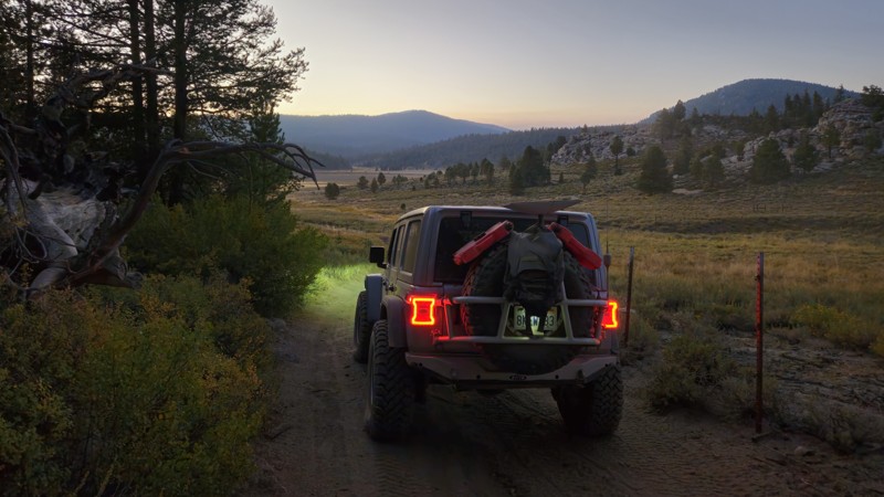
SV6530 winds between hills over a flat desert basin and passes close to the Three Buttes Deposit, a clay surface mine, with its white mountain scar providing a landmark along the way.
Almost the entire trail is on public land and provides many suitable camping sites when meeting the BLM Camping Guidelines.
During high fire danger, campfires may be restricted, and if planning to camp here, one should review the current BLM Campfire Restrictions and have a Campfire Permit.
SV6530 is an easy drive over a packed sandy trail requiring a high clearance two-wheel drive vehicle.
Updated: 08/11/2026
20S09
Olancha, California
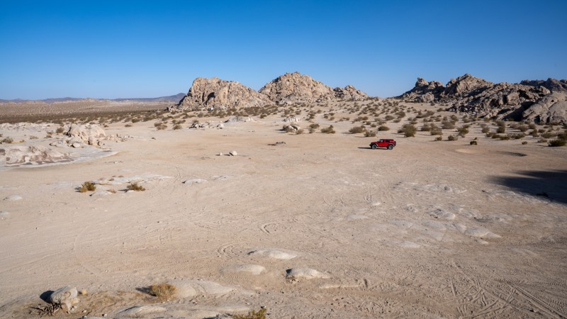
20S09 is a very short connector from 20S05 to 20S05B. The trail has no key features other than being a connector and offers no camping along the drive. This trail is a dirt trail suitable for all offroad vehicles.
Updated: 09/29/2025
North Valley
Lucerne Valley, California
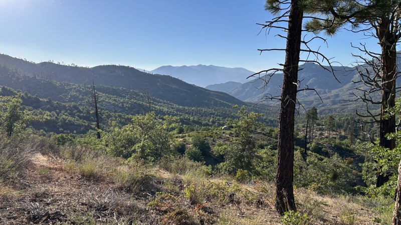
Located along the western edge of the Johnson Valley OHV Area, minutes from Lucern Valley, North Valley is one of the primary routes through a popular area known as Cougar Buttes. This trail is a straight connector between Astral Road and Powerline Road, providing access to many hardcore side trails and abundant dispersed camping. It travels over packed dirt and patches of soft sand, making it suitable for any vehicle. It is not uncommon to see large RVs and motorhomes camping together in small groups like wagon trains. There are two pit toilets along the route, but no trash receptacles.
Updated: 08/27/2025
Cherry Hill Spur A
Fairview, California
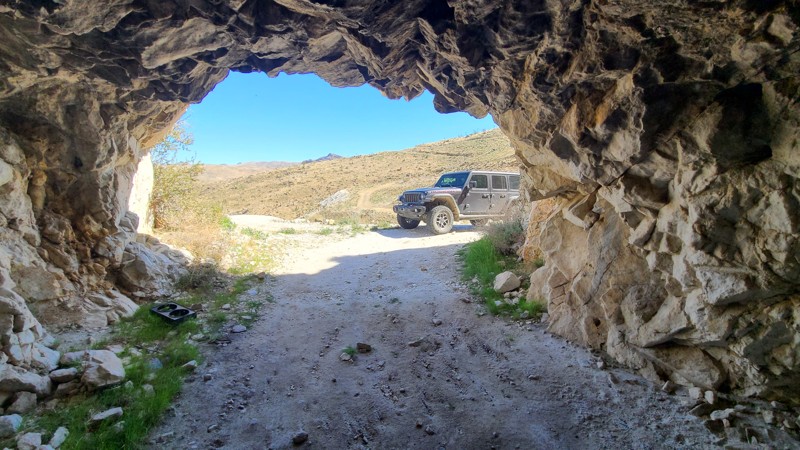
Spur A 22S12B is an easy out-and-back spur that has two dispersed campsites. It can be accessed from Cherry Hill Road for a quick stop to camp. It ends overlooking the Sequoia National Forest, where the second campsite is located. Both camping areas have established fire rings and can accommodate up to 3-5 vehicles.
There are no notable concerns along this trail other than some overgrown vegetation that can cause minimal pinstripping. A stock SUV or car can easily complete this trail.
Updated: 04/10/2026
Slaughterhouse Spring Road
Vanderbilt, California
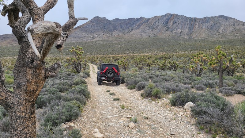
In the north-eastern corner of the Mojave National Preserve, Slaughterhouse Spring Road climbs up the New York Mountains, offering spectacular views out across Ivanpah Valley onto the Clark Mountains and the distant Ivanpah Solar Power Facility's glowing white boilers. The road passes a series of well-preserved horizontal mines that were blasted into solid rock. One extremely interesting mine is found about 1.5 miles along the trail, has a cathedral entrance with 30-foot ceilings, is large enough for vehicles to drive into and turn around, and has multiple drifts extending from the cathedral deep into the mountain. Still evident in the mine walls are the remains of countless drilled blast holes that were filled with explosives to blast the rock away. The mine entrances are not barricaded with iron bars or bat gates, and only the posted danger signs warn visitors of the hazards of entering the mines.
Many of the mine entrances have flat portals or landings providing excellent spots to camp and enjoy the spectacular views.
This is an extremely tight and narrow shelf road that cuts into the side of the mountain, winds through hairpin turns, and provides a slippery surface of gravel and apple-sized rocks from the mine's waste tailings. This trail is best suited for experienced drivers. A stock 4-wheel drive vehicle with good ground clearance will handle the trail easily. The Mojave Preserve does not mark trails well, and the entrance to Slaughterhouse Spring Road is easily missed without a GPS.
Updated: 05/20/2026
Zinc Mine Road
Mountain Pass, California
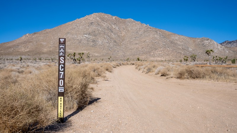
Nestled in the Piute Valley of the Mojave National Preserve, Zinc Mine Road is escorted by a beautifully dense Joshua Tree forest, with picturesque views out to the Mescal and Striped mountains. The road passes several other driving and hiking trails that invite exploration. The highlight of the trail is a visit to Roger's Camp and the beautifully restored Roger's Cabin. Everett E. Rogers was a miner and ranch hand who built the original cabin in the 1900's. Restored by Park personnel and volunteers, the cabin is available for use by backcountry explorers.
While there are no existing dispersed campsites visible from the road, Roger's Camp provides an excellent campsite with views overlooking the valley, a fire ring, a bench, and space for several vehicles.
Zinc Mine Road is an easy path with the occasional water-worn furrow across the road. A two-wheel drive vehicle with some clearance would easily navigate this trail.
Updated: 03/02/2026
Scodie Mountains SC70
Armistead, California
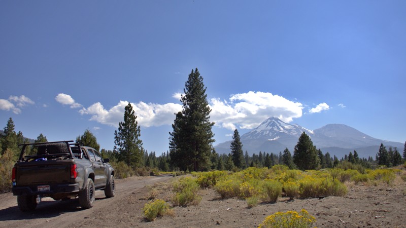
SC70 is a short dead-end camping spur off of Horse Canyon. The road is easy and mostly hard-packed sand and dirt, but it does have some ruts caused by water runoff that you will need to be cautious of if you are in a low-clearance vehicle. The campsite at the end is large and level and can accommodate any size group. The camp is fenced in like others in the area and provides a great hiking route into the Kiavah Wilderness, where you can walk amongst a large Joshua Forest.
Updated: 08/26/2026
Military Pass
Lake Shastina, California
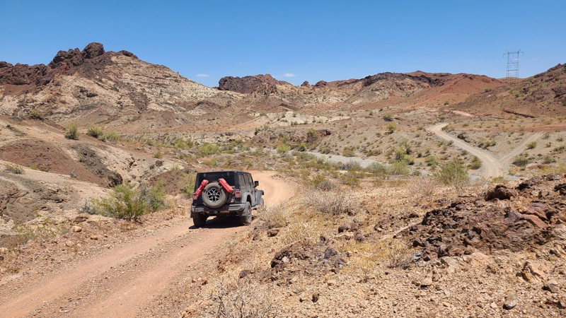
Military Pass Road is a historic backcountry corridor where immense and ever-changing views of Mount Shasta unfold around nearly every bend. Winding along the mountain’s northern and eastern flanks, the route connects Highway 97 northeast of Weed with the forest road network east of the mountain and, through several connecting roads, Highway 89 near McCloud. Along the way, the landscape shifts from open volcanic country to dense fir forests, broad mountain meadows, and the rugged drainages of Ash, Gravel, and Swamp Creeks.
The story of Military Pass Road reaches back to the California Gold Rush. Opened as a wagon route around 1854, it provided a more practical connection between Northern California settlements and the booming Yreka mining district. The U.S. Army helped improve portions of the road around 1855, and soldiers later escorted travelers through the region during the conflicts of the late 1850s. This military presence eventually gave the route its enduring name, Military Pass.
Today, the road offers an unforgettable Mount Shasta backcountry adventure. Dispersed camping opportunities appear throughout the journey, ranging from open sites with commanding views of the mountain to peaceful clearings beneath towering firs. Numerous side spurs provide additional places to leave the main road, find a quiet campsite, and spend the evening beneath the vast Northern California sky.
Road conditions can change dramatically from one section to the next. Travelers may encounter smooth, graded gravel; deep silty dirt; rough ruts; loose volcanic material; washouts; fallen trees; encroaching brush; and lingering seasonal snow. Some passages are narrow enough for overhanging branches to leave a collection of “Siskiyou pinstripes” along the sides of a vehicle. High clearance and 4WD are recommended.
Drivers can use 43N19X as a detour between the junctions near 41.40043, 122.05287 west and 41.35086, 122.00050 west. This easier, two-lane graded gravel road bypasses two severely washed-out creek crossings. Continuing along the creek route generally requires a capable high-clearance vehicle with 4Lo, favorable conditions, and an experienced driver. For those properly equipped and comfortable with washouts and log-crossing challenges, the creek crossings add a rugged and memorable chapter to the journey.
Updated: 06/30/2026
Hightower Road
Homer, California
Hightower Road is an overland adventure across the deep sandy basins of the Mojave's Ward and Chemehuevi Valleys and then through the spectacular deep canyons, towering peaks, and natural rock arches of the Whipple Mountains. Along the way, a short detour up NS427 visits the long-abandoned Capitan Mine and its many abandoned vehicles, the ancient petroglyphs at West Well on the War Eagle Mine Loop, and exits driving over the Parker Dam holding back Lake Havasu.
The majority of the road is on BLM land, and dispersed camping is allowed anywhere except a 6-mile section that passes through the well-marked Chemehuevi Reservation near the end of the trail. Surprisingly few existing campsites can be seen from the road, and some of the better camping is found on the Capitan Mine site, nine miles from the north end of the trail and off of the many intersecting trails and spurs over Hightower Road's length.
Traveling southward, the road surface changes dramatically from the soft sand of the desert floor to the hard-packed gravel as you climb through the mountains. While the mountain section of the road surface itself does not present any driving difficulty, the road's steepness, combined with tight, twisting, blind turns over shelf roads and steep drop-offs, can be intimidating. The soft sand at the north end of the trail and the need for confident traction when climbing the mountains require a high-clearance 4x4 with good all-terrain tires and an experienced mountain-road driver.
Updated: 10/09/2025
RC1409
Homestead Valley, California
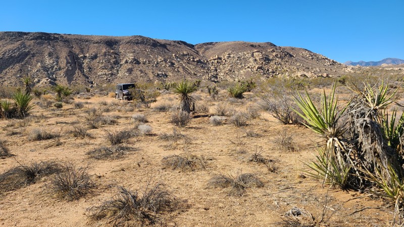
Tucked into the southern foothills of Ruby Mountain, RC1409 is an out-and-back trail that begins in a broad desert valley before winding into a striking narrow canyon that begs to be explored. The route loosely follows a dry creek bed, where remnants of old mining activity can still be spotted. Near the end, the trail pinches down to a point that requires a multi-point turnaround, surrounded by piles of unusual rock formations. Along the way, RC1409 also connects with two established hiking trails that branch east and west from the route.
A few dispersed campsites can be found along the trail, but the standout is located about halfway in, while still in the open valley. There you can find a wide, flat site with room for 3–4 vehicles and long views north across distant mountains.
The trail itself is easy overall, with a mix of rocky slopes and tight turns that keep things interesting. A high-clearance two-wheel-drive vehicle can make the drive, but four-wheel drive is recommended for exploring the surrounding trails and tackling the rockier sections with confidence.
Updated: 01/15/2026
Paymaster Mine Road
Baker, California
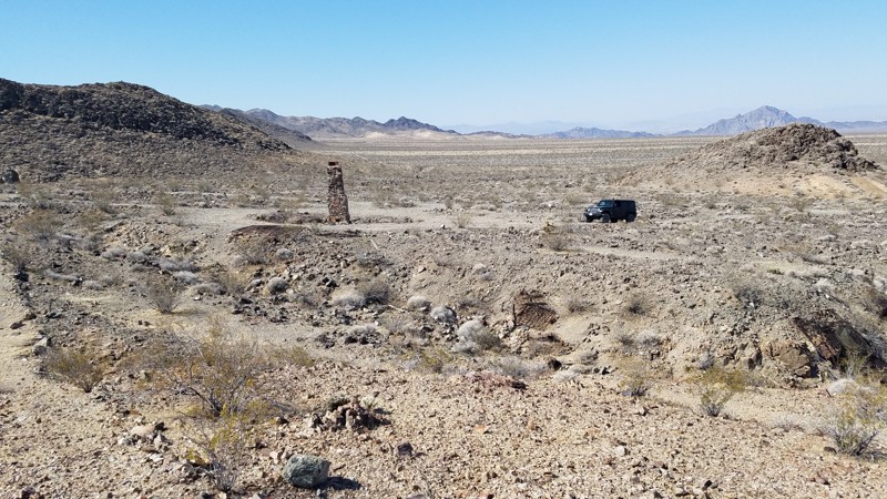
Paymaster Mine Road is in the western corner of the 1,542,776-acre Mojave National Preserve, which leads to its namesake, Paymaster Mine. The Paymaster Mine, discovered in 1900 on the slope of Old Dad Mountain, produced approximately $75,000 worth of gold between 1910 and 1914 but closed during the Great Depression. The last 100 feet of the road has degraded and is now impassible by vehicle, but a short hike uphill over the road's remains will take you to the mine entrance. Once there, you can explore the remnants of structures and machinery and glimpse down the single mineshaft. A steel gate closes the entrance, but large openings between the bars allow you to peer down the solid rock tunnels that disappear into the darkness, revealing a small section of the 2,000 feet of underground workings.
The road surface is mostly rocky hardpack over a one-mile out-and-back that intersects Brannigan Mine Road. Beginning at an elevation of 1,600 ft, it is a 200 ft climb to the end and the mine entrance. It is a short drive, but the destination is an abandoned mine, and it is worth taking some time to hike and explore. The road towards its end becomes very rocky and uneven as, in this area, the roads are made up of mine tailings. A high clearance SUV is needed and is suitable for a novice offroader.
Dispersed camping is allowed, and a few pre-established sites can be found within the last half of the trail.
Updated: 10/09/2025
RC2309
Homestead Valley, California
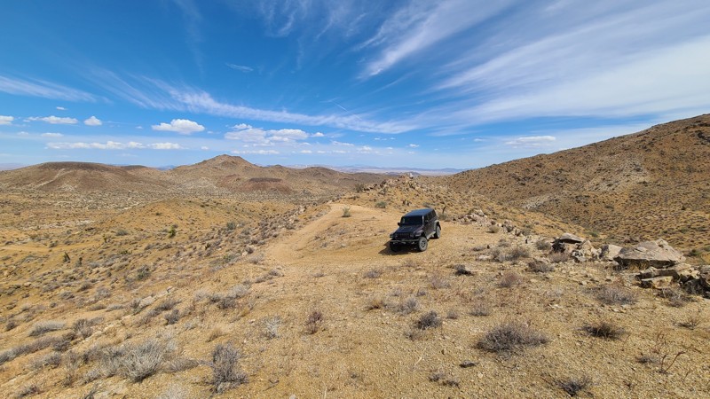
Intersecting New Dixie Mine Road, RC2309 is a short out-and-back camping spur that climbs up the nearby hill to reach a large plateau with terrific views out to Ruby Mountain and its foothills. Near the start of the trail is an interesting cistern or guzler with a large slanting surface to collect rainwater and direct it to storage for drinking access by local wildlife. The trail offers a gentle rise to the plateau at its top, with a small rocky section.
There are two dispersed camping locations, one at the top with its great views and another at the bottom in a large, level, sandy area just across from the cistern.
Updated: 04/10/2026
Mail Spring Road
Barnwell, California
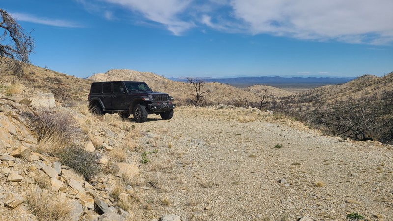
Mail Spring Road is an out-and-back trail that climbs up the eastern side of one of the mountains in the New York Mountain range to provide wonderful views across the desert and eventually reaches one of the oldest mines in the area, the Sagamore Mine. Sagamore Mine silver deposits were discovered in the 1870s, and the mine has operated on and off until the mid-1960s, recovering a variety of precious metals, including gold. Remnants of the abandoned operation are still present, including the gold recovery vats at the end of the trail, but the once-standing mine camps were leveled by the massive 2023 York Fire. Hiking up the hill from the end of the road will reach the mine camp sites.
A note of caution: in its later years, the mine was reported to have used toxic cyanide to recover gold (termed gold cyanidation). The concrete basins at the end of the road are typical of vats used for this process.
The trail is covered in apple-sized rocks sourced from the mine operation, making for a rough ride. Airing down will make for a more comfortable trip. Burned trees from the 2023 York Fire may fall to block the mountain section of the road, and drivers must be aware and willing to remove these trees before attempting the trail. One particular shelf section of the trail is water-damaged, creating a slippery off-camber section leaning down the side, requiring careful tire placement.
Large flat dispersed camping sites with existing rock fire rings can be found next to the trail, not far from Ivanpah Road.
Updated: 09/22/2026
Crowley Lake Stone Columns
Crowley Lake, California
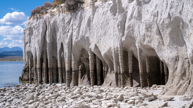
The Crowley Lake Stone Columns, tucked along the eastern shoreline of Crowley Lake south of Mammoth Lakes, are a collection of thousands of strange, cathedral-like pillars and archways, some reaching roughly 15 to 20 feet tall. They formed 760,000 years ago following the massive Long Valley Caldera eruption, when cold groundwater and snowmelt seeped into still-hot layers of volcanic ash. As that water heated and rose back up as steam, minerals precipitated along the vertical flow paths, cementing the ash into harder, erosion-resistant columns. Much later, erosion along the shoreline, particularly after Crowley Lake was created as a reservoir in 1941, stripped away the softer surrounding material, exposing the formations seen today.
Updated: 05/20/2026
Black Canyon Wash Trail
Fenner, California
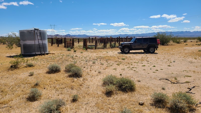
Located in the Fenner Valley basin of the Mojave National Preserve, Black Canyon Wash follows a vehicle corridor through a Mojave Wilderness area with wonderful views of the surrounding Wood and Providence Mountains. This area hosted herds of grazing cattle, but with the establishment of the Preserve in 1994, most grazing permits were not renewed, allowing this wilderness area to return to its primal state. Dotting the trail are the remains of corrals and wells that were left standing to preserve the area's ranching history.
Most of the path is easy and fairly smooth, except for the stretch through the huge Woods and Black Canyon Washes, where the trail becomes a bit more rocky and features steep climbs in and out of the wash. A four-wheel-drive vehicle with good ground clearance is required to navigate these sections.
The best camping is near the north-west end of the trail, where there is a large flat area with established rock fire rings, complemented by fantastic views of the Providence Mountains. Improved camping is available at the Hole-in-the-Wall Campground just one mile from the end of the trail.

Upgrade your Membership
Unlock all of the details on every Trail Guide and Scout Route.
Start a 7-day Free TrialBrowse Trails in California by City
Browse every California city with offroad trail guides.
Community
Partners

