
Fordyce Jeep Trail (138.43 miles away)
Soda Springs, California
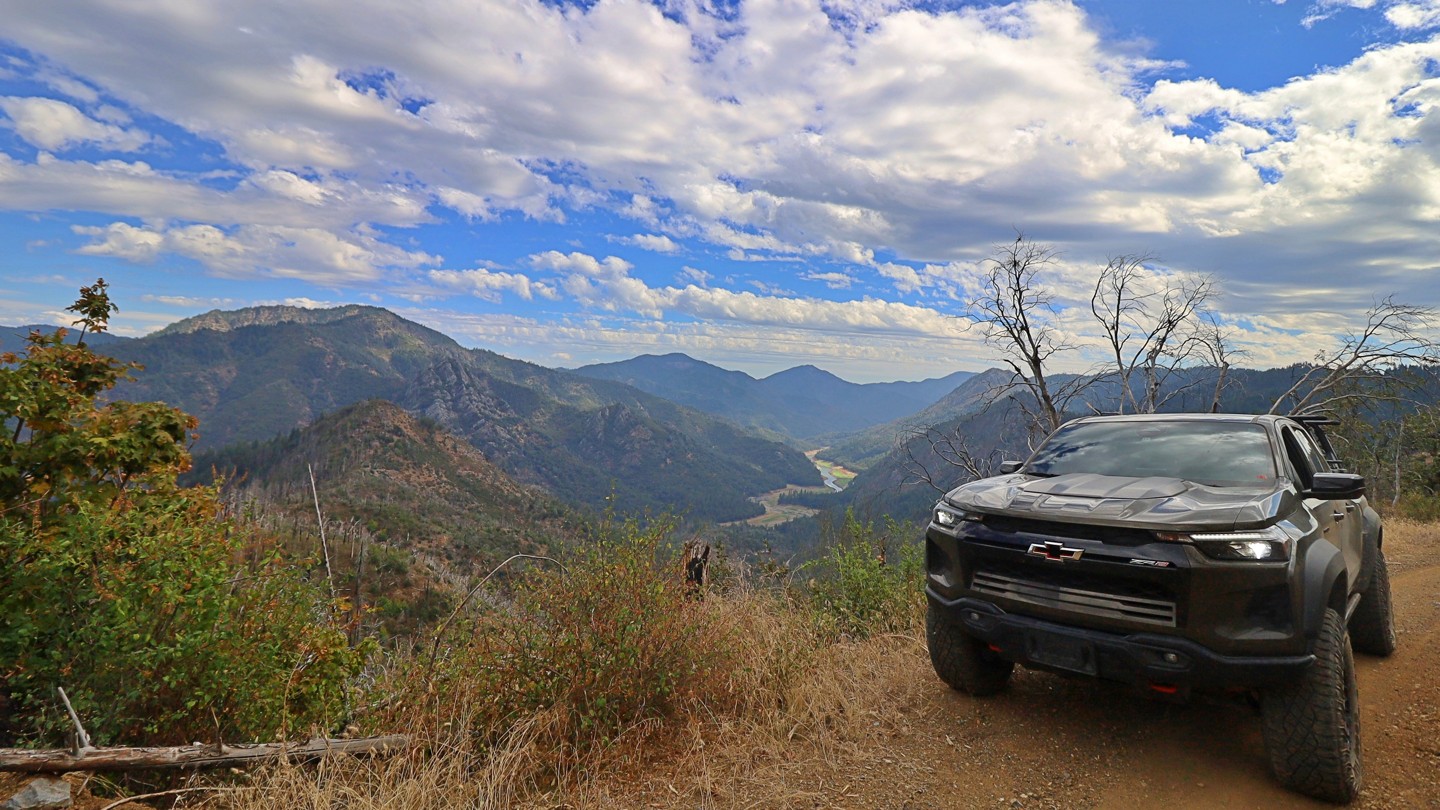

Fenders Ferry Road, marked on maps as FA27, Forest Road 27, or 34N17, winds through the remote mountains north and east of Shasta Lake in Northern California. Traveling from east to west, the journey begins at Highway 299 between Round Mountain and Montgomery Creek and crosses wooded ridges, deep river canyons, and quiet stretches of forest on its way toward the McCloud River and Interstate 5. Its combination of backcountry scenery, local history, and secluded river access makes it an interesting alternative to simply traveling around the lake on pavement.
From Highway 299, the road heads north before descending into the Pit River canyon. Pavement eventually gives way to dirt and gravel as the route curves along the hillsides, occasionally narrowing beside exposed canyon edges. Much of the road is maintained and graded, but potholes, washboard, loose surfaces, and occasional washouts can make travel uneven. High clearance is recommended, and all-wheel drive can be helpful when traction is poor. Conditions can change considerably with weather and maintenance.
The road's history is closely tied to the transformation of the surrounding landscape. During the 1930s, the Civilian Conservation Corps developed the route to connect the Delta area along old Highway 99 with the Pit River and Montgomery Creek region, improving access to remote timberlands and communities. The construction of Shasta Dam and the filling of Shasta Lake would soon reshape transportation throughout the area, inundating older roads, mines, settlements, and river crossings.
At the Pit River, the road crosses near the historic Fender’s Ferry site on a bridge recorded by the Forest Service as dating to 1941. Just beyond the river, Potem Falls provides one of the route's most popular side trips, with a short hike descending into a shaded gorge where the creek plunges roughly 70 feet into a pool below.
West of the Pit River, Fenders Ferry Road climbs back into the mountains and continues across remote forested ridges and creek drainages toward the McCloud River. The increasingly isolated surroundings and occasional views into the surrounding canyons give this portion of the drive a distinctly backcountry feel. Near McCloud Bridge, connecting roads provide access toward Interstate 5 and the Sacramento River corridor.
Dispersed camping opportunities are scattered along the route where permitted, while McCloud Bridge Campground provides an established fee-based option near the western end. The route passes through a mixture of public and private land, so observe posted boundaries, avoid camping on private property without permission, and remain on designated roads when crossing private parcels.

