
Dusy-Ershim Trail (30.11 miles away)
Shaver Lake, California
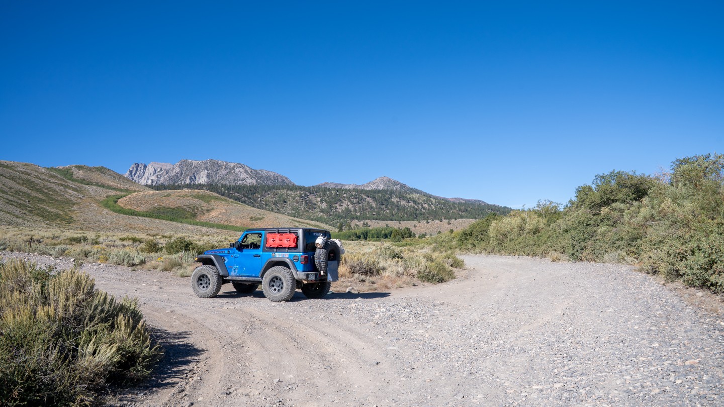

Sherwin Creek Road is a straight-through, 4.5-mile-long recreational access road southeast of Mammoth Lakes. The road is 2.5 vehicles wide, an easy drive over hard-packed dirt, gravel, and golf-ball-sized rocks, with heavy dust being the only major concern. It travels from west to east, starting in heavily wooded National Forest Land, passing the popular hiking trailheads for Sherwin Lakes and Valentine Lake, which lead deep into the John Muir Wilderness. This road also provides access to the YMCA High Sierra Camps and to the only camping along the road, at Sherwin Creek Campground, a large Forest Service-run campground that charges a nightly fee and offers minimal amenities. Camping is prohibited anywhere else along Sherwin Creek Road. The road then enters LA Water property, where the terrain changes to open meadows and sagebrush, with spectacular foothill views of Laurel Mountain, Bloody Mountain, and Mammoth Peak, before passing Laurel Lakes Road, a popular 4WD route, and eventually ending at Highway 395. Although officially listed as open year-round, it is naturally closed by snow and is considered seasonally open, depending on road and weather conditions.
This road is suitable for any vehicle.

