




By clicking "ACCEPT", you agree to be the terms and conditions of each policy linked to above. You also agree to the storing of cookies on your device to facilitate the operation and functionality of our site, enhance and customize your user experience, and to analyze how our site is used.
California Off-Road Trails
415
Total Trail Guides 392

4106
Detailed Waypoints 524
Try a Free 7-Day Trial and unlock it all
Start a Free Trial Most Recent Trail Reviews
Rated 5/5
Open
Visited: 09/19/2026
Great beginner trail here for those looking to try out some rockier sections. Starting to trend a little closer to a rating of 4, but still a 3 I’d say

R
Rob
Rated 5/5
Open
Visited: 09/19/2026
I entered this trail from Freeway Ridge 4WD trail (31E77) and ran Black Gulch Jeep Trail up to Rancheria Road, turned around, and ran Black Gulch Jeep Trail all the way down to Keyesville Road in Lake...



Daniel Macioce
Rated 4/5
Open
Visited: 09/19/2026
Took out the vstrom 800de today and this thing was tough for someone like me who is pretty new to offroading motorcycles. I ended up turning around about half way because I wasn't sure if I would be a...
SK
sean kotrola
No Rating
Open
Visited: 09/19/2026
The trial marked by the app here is very difficult with all the recent deep washouts. Proceed at your own risk if you are by yourself with unmodified rigs. However the bypass is maintained and should ...
TB
Timmy Boby
Rated 5/5
Open
Visited: 09/18/2026
Very friendly fire watch tower volunteers and fantastic 360 degree views up top
R
Rob
Rated 5/5
Open
Visited: 09/18/2026
Great views and an easy drive through. Be sure to take the road up to the fire watch tower
R
Rob
Rated 5/5
Open
Visited: 09/17/2026
ran the trail twice last weekend, this is such a better way to go than 3n16...


Josh Noesser
Official Crew
Rated 5/5
Open
Visited: 09/16/2026
It's been 6 years since I visited this trail. It has seen some wear, but the overall difficulty is about the same, probably a bit higher now, as Waypoint 11 has suffered from traffic. Waypoint 11 ha...

Robert
Official Crew
Rated 5/5
Open
Visited: 09/16/2026
Started off from polique canyon at way point 13 and headed east. Its a great trail for most of it with scenic views. A good amount mud puddles that were fun as hell to drive through. Some I decided to...


VM
Victor Manuel Garcia
Rated 5/5
Open
Visited: 09/16/2026
Used this trail to get to Holcomb valley. Super easy and a nice drive, I can see how in the winter it can be a bit more challenging with rain and snow.
VM
Victor Manuel Garcia
No Rating
Open
Visited: 09/16/2026
Mostly easy, but heading NE there's a rock step down just a few miles in that *requires* high clearance. Banged the rear end of my 4runner despite having a 3" lift and 33" tires. A stock SUV would alm...



Carlos H.
Rated 5/5
Open
Visited: 09/15/2026
It's been over 4 years since I was last on this trail, and I was very happy to see that the old car was still there. Some research suggests that it is a 1939 Plymouth Road King 5-window coupe.


Robert
Official Crew
Rated 5/5
Open
Visited: 09/14/2026
A fun little detour off Burns Canyon. I ran this alone and stopped a few times to spot; I also used my grill camera in several places. I brushed my sliders a couple times, but no real issues. Definite...
EB
Ed Boyd
Rated 5/5
Open
Visited: 09/13/2026
easy perfect beginner off roader trail with great views and water crossing during the winter.



Dex Offroad
Rated 5/5
Open
Visited: 09/12/2026
Fenders Ferry kept giving me reasons to slow down and enjoy the ride. I loved winding along mountain ridges, following creeks, and catching glimpses of Shasta Lake's fingers tucked between the hills. ...



Rose Meirs
Official Crew
Rated 5/5
Open
Visited: 09/11/2026
super easy trail over looking the valley and 15fwy. only bad thing is that its super windy.

Dex Offroad
No Rating
Partially Open
Visited: 09/09/2026
Although you can cross the creek from Fordyce if you want, Committee Road is still closed back to the I80, so this has no exit, and you'll be forced back onto Fordyce.

Ryan Boudreau
Official Crew
No Rating
Temporary Closure
Visited: 09/09/2026
Road is still closed. I thought i read somewhere an expected 2030 opening, but can't confirm that info.
Ryan Boudreau
Official Crew
Rated 5/5
Open
Visited: 09/09/2026
This is an awesome trail . This trail is moderate with a few obstacles to make it fun. It also has incredible scenic views with a little bit of shelf roads. You can watch the full video on my YouTube ...


Dex Offroad
Rated 5/5
Open
Visited: 09/07/2026
Pretty spot on with the rating, was a little tough today with the rain but made it through in my 2023 Gladiator Overland with 2.5” lift and 35s with autolynx sway disconnects.


CT
Christopher Tanton

Shaan Heugly
Rated 5/5
Open
Visited: 09/06/2026
Drove reverse from what’s listed to the jasper trail. This is a easy but enjoyable trail with plenty of places to camp at the end of the
Shaan Heugly
Rated 5/5
Open
Visited: 09/06/2026
Bit washed near the top but nothing difficult to navigate. I headed from jasper to the highway and near the highway it did narrow. I got through with my Tacoma but there are a few pinch points I could...
Shaan Heugly
Rated 5/5
Open
Visited: 09/06/2026
Mostly easy trail but when going south to north, I did need to use 4Lo on some of the inclines with a loaded Tacoma
Shaan Heugly
Rated 4/5
Open
Visited: 09/05/2026
It had been five years since I last drove this trail. The long, annoying stretches of moguls are still there, and water erosion has added a touch more difficulty in places. It was nice to see the old ...


Robert
Official Crew
Rated 4/5
Open
Visited: 09/05/2026
This is a nice trail with great views for any 4WD with ground clearance as some sections have ruts that are 12+ inches deep. Things were very dry on my visit, so airing down the tires helped to smooth...


SG
Steve Graham
Rated 3/5
Open
Visited: 09/05/2026
From waypoint 7 to 10 the water damage is pretty bad. Waypoint 13-16 it is rocky. Nothing crazy but a few spots where patience and the right line will go a long way. Good clearance and 4x4 recommended
N
Noah
Rated 5/5
Open
Visited: 09/05/2026
Easy trail with an awesome view at the end. There were three lookouts in the fire tower and each one was super friendly and informative. Must see trail!


N
Noah
Rated 5/5
Open
Visited: 09/05/2026
fun easy trail, Butler Peak lookout is the highlight imo
N
Noah
Rated 5/5
Open
Visited: 09/04/2026
Trail was very well maintained. Thanks for the Fresno 4x4 club. It was very cold at night, into the 30s. We were on the trail two nights, 3 days and two nights at voyager rock due to a breakdown fr...
JD
John Drago
No Rating
Open
Visited: 09/04/2026
Beautiful area, but the trail itself wasn’t very interesting. I’d rate it around a 3/10, with a couple of optional sections that might push a 4.
There’s tons of dispersed camping throughout the area,...


Ryan Smith
Rated 5/5
Open
Visited: 09/01/2026
awesome trail with a lot of water crossings. just be careful of sxs and bikes since its a OHV area.

Dex Offroad
Rated 5/5
Open
Visited: 09/01/2026
Super easy trail and you can over look the high desert. Trail ends at an awesome view point.

Dex Offroad
Dex Offroad
Rated 5/5
Open
Visited: 08/31/2026
This trail is much harder than it used to be. It’s just as breathtakingly beautiful as ever. You are on your own out there. Fuel, parts, spare tire. It’s days from help if you need it so go prepared. ...

CP
Christopher Pepin
No Rating
Open
Visited: 08/30/2026
Ran this trail today and had fun. Easy trail with great views. I wouldn’t hesitate to take an experienced driver in a stock jeep up this. There are lots of trails in this area and way to get off the m...

CP
Christopher Pepin
No Rating
Open
Visited: 08/29/2026
Trail was in good shape, a little less sand makes the boulders a little bigger. People have made the bypass around the sluice a little bit longer than it used to be you miss a lot of the good rocks. O...
C
Campbell
Rated 5/5
Open
Visited: 08/29/2026
An often overlooked and amazing trail. It’s about the length and difficulty of the rubicon if you don’t hit any of the bypasses on the rubicon. We had a group of 3 lj on 40s, a jku on 42s, and an Xj o...
CP
Christopher Pepin
Rated 4/5
Open
Visited: 08/27/2026
This is most definitely a hard trail. Is the entire thing hard? Not at all. The western 7 miles are a hard packed dirt road. Then you run into 3 straight, large boulder obstacles where its clear many ...


Ryan Boudreau
Official Crew
Rated 4/5
Open
Visited: 08/27/2026
Easy drive with beautiful views and . . . Buck Rock! Lots of camping south of Buck Rock, but camping north of the Rock isn't as plentiful. There are a few others on the north, but there's one here: 36...


Carlos H.
Rated 5/5
Open
Visited: 08/26/2026
I really enjoyed this road. It's super scenic with the sierra's in the background, the white beaches, and the columns are really cool. The road is not anything challenging with a high clearance vehicl...


Ryan Boudreau
Official Crew
Rated 4/5
Open
Visited: 08/25/2026
Fun area. The hot springs are pretty popular and well-known, and because they are small, you'd better hope you are one of the first people there that day if you want to get in. The route is easy, exce...


Ryan Boudreau
Official Crew
Rated 4/5
Open
Visited: 08/25/2026
I liked this trail a lot, but it's not quite a 5-star trail for me. I feel like it's a little overhyped. Is it scenic? Absolutely! Is there tons of great camping? Totally! Is it a crazy busy? You Bet!...


Ryan Boudreau
Official Crew
Rated 4/5
Open
Visited: 08/25/2026
Road to the hot springs parking area is easy. There are regular passenger cars there. The hike is easy too. The tub itself is super scenic, but know that they are not hidden gems by any means and we'l...

Ryan Boudreau
Official Crew
Rated 3/5
Open
Visited: 08/25/2026
It's a simple road, but definitely very scenic and really only used to get from Convict to Laurel Lakes or Mammoth. Road is suitable for anything with decent ground clearance.


Ryan Boudreau
Official Crew
Rated 2/5
Open
Visited: 08/25/2026
Simple dirt road used to access other types of recreation. Many signs remind you that you aren't allowed to camp along it except at the campground.


Ryan Boudreau
Official Crew
Rated 3/5
Open
Visited: 08/23/2026
Simple, straightforward dirt road used for fishing access.


Ryan Boudreau
Official Crew
Rated 5/5
Open
Visited: 08/23/2026
Amazing views at the top of this trail. Erosion looks to be making this trail harder than it probably originally was. Most of the hardest spots are getting bypasses created around them. A short, st...



Dan Jurgella
Rated 5/5
Open
Visited: 08/23/2026
Toad Lake Road 40N64 was a long, slow, and wonderfully remote drive into the Trinity Divide. The changing mix of old pavement, dirt, loose rock and deep ruts kept the journey interesting, while forest...


Rose Meirs
Official Crew
Rated 5/5
Open
Visited: 08/23/2026
North Fork 41N53 was a fun backcountry drive through the forest west of Mount Shasta. Early in the trip, a wrecked motorhome beside the road provides unforgettable confirmation that you are on the rig...


Rose Meirs
Official Crew
Most Popular
Updated: 07/12/2024
2N57 - Old CC Spur
Fontana, California
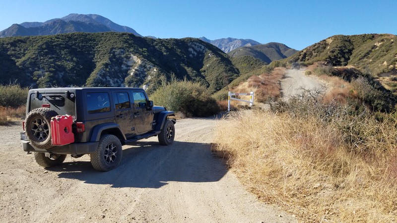
2N57 Old CC Road is entirely within the San Bernardino National Forest. It primarily used as access to 3N31 Lower Lytle Creek Divide which intersects at the top of the ridge. Before climbing the ridge, several unmarked and unnamed trails left, and right of Old CC provides a fun, nice opportunity to explore. Many of these trails lead to power line towers, facilities, and the Ranger Station just west of the trailhead. It's short at 1.4-miles in length, and once at the top, you are rewarded with nice views of the San Gabriel Mountains. Dogs are allowed on the trail when kept on a leash.

Updated: 05/08/2025
Water Road
Homer, California
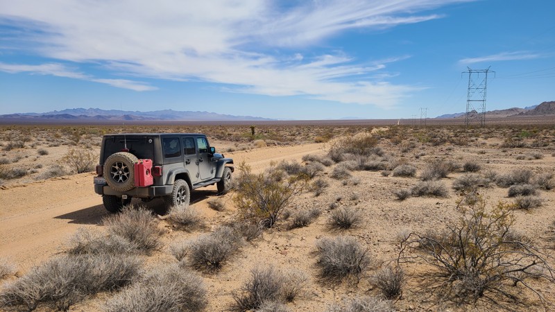
The vastness and remoteness of the desert are on full display on this trail, with only sand and creosote bush as far as you can see. This often deep, sandy trail passes between the distant Stepladder and Old Woman's Mountains Wilderness. At its lowest point, the road crosses Danby Lake, a crusted-over dry lake bed in the summer. Dispersed camping can be done along the way, following the BLM Needles Field Office camping guidelines. An easy trail, but the deep, soft sand requires a four-wheel-drive vehicle.
Please note that the southern end runs into private property, and you must backtrack to the intersection with Cadiz Road to exit.
Updated: 12/24/2025
Old Idyllwild Road
Banning, California
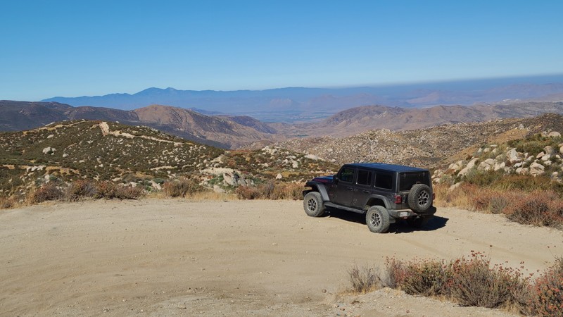
Starting in Banning, Old Idyllwild Road is a pleasant drive rising 2000 feet to the edge of the San Bernardino National Forest and the San Jacinto Mountains. Throughout its length, you can enjoy sweeping views to the north and west and view spots to pull over for lunch.
The entire road is on private land; hence, there is no public overnight camping, but the road does reach at its end large areas of Bureau of Land Management land and marked trails for exploration and dispersed camping.
Updated: 05/01/2024
7S04 - Browns Meadow
North Fork, California
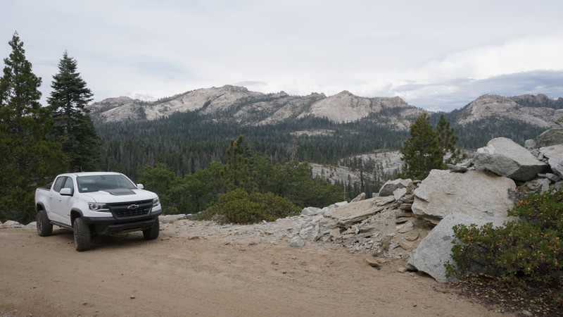
7S04 Browns Meadow is high in the Sierra National Forest, north of North Fork and East of Bass Lake. This scenic and slightly challenging 4x4 trail provides a panoramic view of Shuteye peak and Chiquito Ridge before it wraps around the north peak of Whiskey Ridge and continues traveling through dense forest, and wide-open granite slabs.
While not the best choice for a first time wheeler, this trail is great for those with 4WD and a little bit of experience who are looking for a mild 4x4 challenge or even good for more experienced off-roaders just looking to explore the area.
Updated: 06/05/2022
Soggy Dry Lake
Lucerne Valley, California
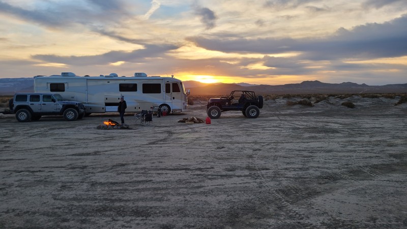
Soggy Dry Lake is a must-go location for people who love the desert and is the other popular lakebed in Johnson Valley. The area is full of excellent trails and great beauty. Soggy was once a famous high-speed track where people would try to break the speed records back in the day.
Today Soggy Dry Lake is mainly used for camping and for people who want to see how fast their off-highway vehicle can go. The surrounding hills are full of trails from mild to insane.
So the next time you are heading out to Johnson Valley, want to try something different, check out Soggy Dry Lake in Southern California.
Updated: 06/05/2022
South Fork Palm Wash
Salton City, California
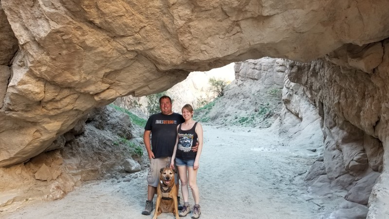
If you are looking for something that you can talk about for the rest of your life, then check out South Fork Palm Wash Slot Canyon. This super unique and lightly traveled adventure is perfect for an active family or overland group that is looking for something different than the norm. At the end of this backcountry trail is a long slot canyon that is absolutely amazing and provides several hours of entertainment. Right out of the door of your vehicle, you walk through a large arch and into a slot canyon that quickly narrows to only a foot wide. This is an exploration worth making!
Updated: 02/11/2025
Vulcan Mine Road
Baker, California
The Mojave National Preserve (MNP) was established in 1994. At 1,542,776 acres, it is the third-largest National Park. On the western slope, near the Providence Mountain Range, and along Foshay Pass, is the most prominent human-made feature in the preserve, Vulcan Mine.
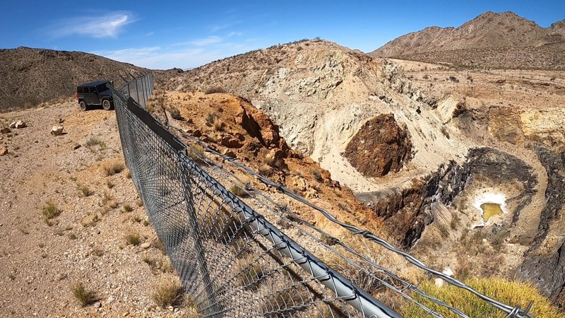
Vulcan Mine Road was built to haul iron ore to the railroad at Kelso. You can still follow this trail directly to the mine and even drive around the edges of the massive mine pit, looking to its bottom 100 feet below, while following a fence that has been placed to protect visitors.
Abandoned in 1944, you can see how the desert, over 75 years, the desert has slowly taken back the once smooth asphalt road you are now taking to the mine.
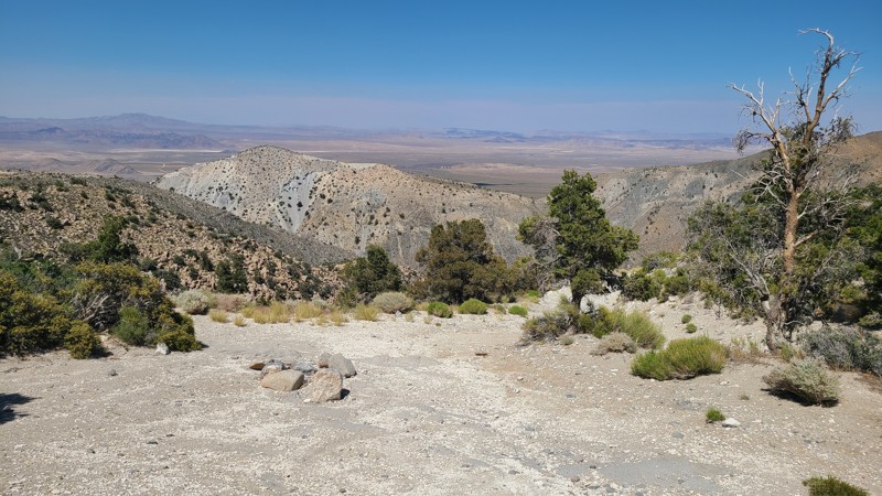
Along the way to the mine, enjoy views of the Providence Mountains rising on either side. Looking back in the distance, you will see the equally massive but naturally occurring Kelso Dunes.
Updated: 07/10/2024
3N03A - Horsethief Flat
Big Bear City, California
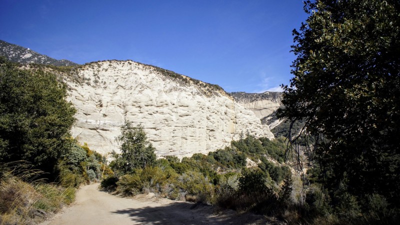
Situated in the Big Bear area and just a short jog off the paved CA-18, this challenging trail will reward the effort with endless views and outstanding dispersed camping sites. Tall pine trees crowd the beginning of the trail, provide summer shade, and offer great picnic and camping. Venturing further before the trail's steep descent are endless views over the surrounding desert and out to the distant mountains. All of which takes you to Horsethief Flat, at the desert floor. The flat is a beautiful area concealed by the surrounding mountains with lush ribbons of green foilage that are supported by an active creek flowing along its border with the mountains.
Updated: 12/01/2023
1N13 - Santa Ana
Highland, California
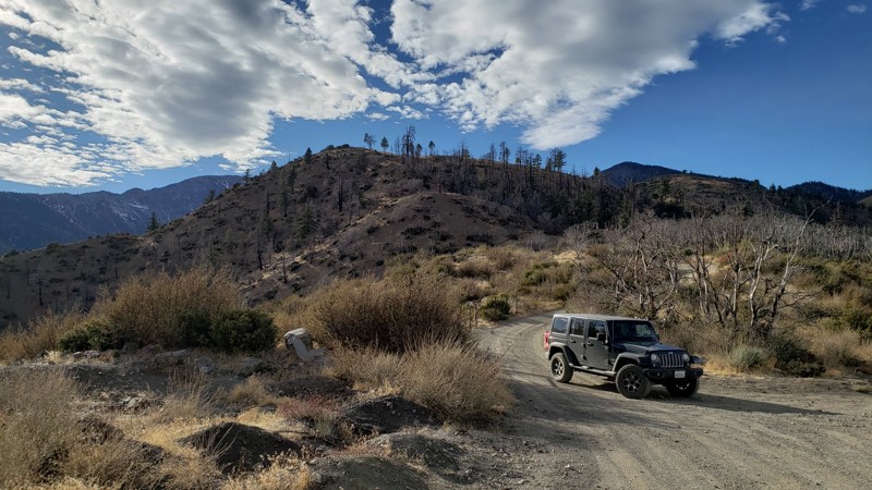
1N13 - Santa Ana, is a 4x4 off-road trail in the San Bernardino National Forest. The trail is on the south-facing slopes below Keller Peak and the town of Running Springs, it is a spur trail off of 1N09 - City Creek. Besides enjoying the beauty of these mountains, the main reason for this route would be to hike to the canyon's bottom to explore the water control facility on the Santa Ana River.
Updated: 02/19/2025
Gobbler's Knob Spur
Fontana, California
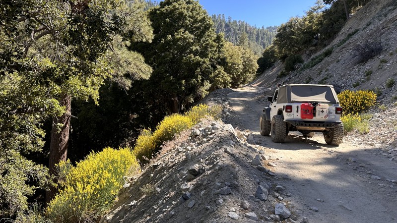
Gobbler's Knob provides an escape from the city to enjoy the solitude and wonderful views surrounding the Upper Lytle Creek Divide. The trail is most notable for its connection to the Pacific Crest Trail (PCT), which intersects at both ends and provides camping sites and resupply for hikers taking the long PCT journey. A large parking area at the end provides a place to take short hikes along the PCT or even out to Gobbler's Knob. Gobbler's Knob is actually the highest prominence of the Upper Lytle Creek Divide with an elevation of 6955 feet and is located a short 1/4 mile hike west of the parking area. The term "knob" is an archaic word for a prominent geographical landmark by which travelers may guide themselves. Forest Service Administrators have stated that the "gobbler" of Gobbler's Knob refers to the wild turkeys that once roamed the area. When camping is allowed, you will likely find tired travelers camped in the flat area past the iron fence marking the boundary to PCT. Pets can also enjoy the trail when kept on a leash.
Updated: 12/10/2024
Mescal Creek Road
Crystalaire, California
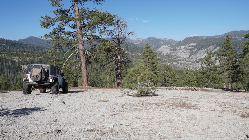
Mescal Creek Road is yet another beautiful but lesser-known trail that takes you from the desert floor up to the mountains. Starting in Pinyon Hills and ending at Jackson Lake, this short but beautiful connector offers a waterfall, two water crossings, and gorgeous views of the San Gabriel mountains in the Angeles National Forrest. While dispersed camping is not allowed in this area, the trail ends near Lake Campground, with Mt. Oak Campground just around the corner.
Updated: 04/15/2024
26E211 - Plain
Shaver Lake, California
Part of the Bald Mountain OHV area in the Sierra National Forest east of Shaver Lake, California, 26E211 - Plain is a mellow and scenic trail. Plain makes for a great add-on to a day of wheeling through Bald Mountain.
A quick run through the granite filled woods with some mild challenges ends with some amazing views of the Dinkey Dome and massive granite walls surrounding Dinkey Creek, south of Foster Ridge. If the views aren't enough for you, you can explore the many connecting and nearby trails which include some more challenging wheeling; Bald Mountain, Powder Hill, Basecamp, Bowtie and more.
Updated: 06/05/2022
2N43 Sawpit Canyon North
Hesperia, California
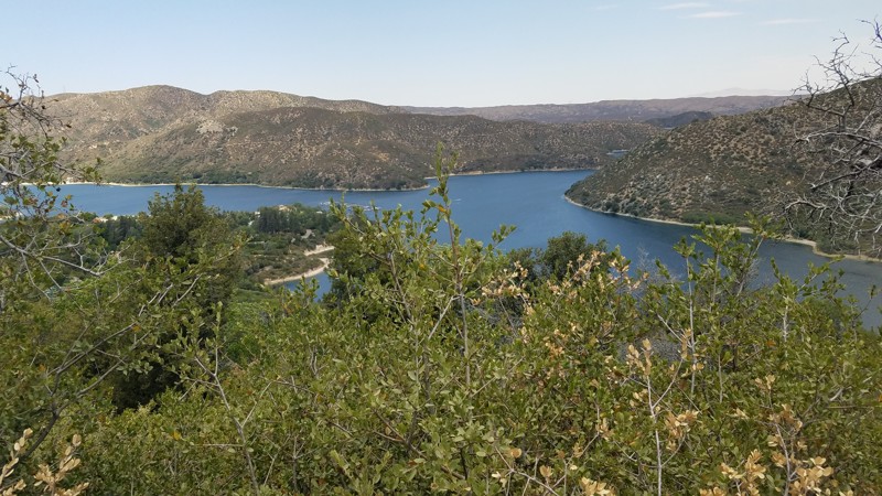
2N43 Sawpit Canyon Road is in the 823,000 acres San Bernardino National Forest just south of the 1500 square mile Silverwood Lake and only a short drive from Interstate 15. The 4.5-mile road meanders up the mountain with views of Silverwood Lake along the way and passes through the domain of the mountain oaks and shrubs to tall lush pine forests, eventually ending in the community of Cedar Pines Park and its paved roads.
Updated: 09/17/2026
Crowley Lake East Side Road
Sunny Slopes, California
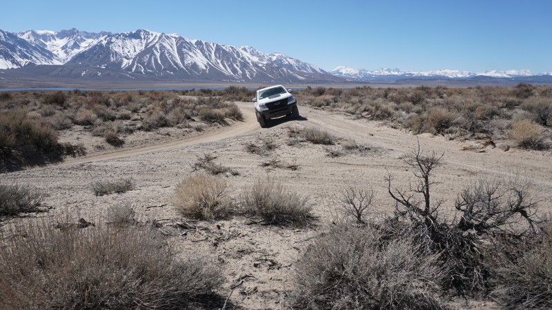
This rough dirt road includes a few moderate rocky sections. It serves as an alternate entrance to the Crowley Lake area and the Crowley Columns connecting from the north end of Owens Gorge Road to the shore of Crowley Lake. This trail is suitable for new off-roaders with 4wd, but there is tight brush along this trail, so be aware of the risk of pinstriping.
Updated: 05/29/2025
Kings Peak Road
Shelter Cove, California
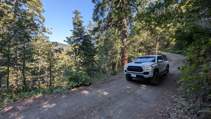
Kings Peak Road is a scenic and remote trail through the King Range in Humboldt County. It connects Shelter Cove in the south to Wilder Ridge Road in the north. The road between Shelter Cove and Tolkan Campground is graded and well-maintained. The road is a bit rougher north of Tolkan Campground, but still passable with a stock 2WD SUV or Pickup truck.
The trail's south end is just half a mile from Usal Road, and combining the two makes for an epic route through California's Lost Coast and adjoining mountain ranges. Kings Peak Road twists and turns through the mountains with a total of 3,800 feet of elevation change and is slightly easier to traverse than Usal Road.
3.8 miles from the south end, Tolkan Campground is a BLM-managed campground with a nightly fee, providing spacious sites as well as a terrain park for biking. Many hiking trails can also be found in the area.
Updated: 06/01/2024
26E330 - Powder Hill
Shaver Lake, California
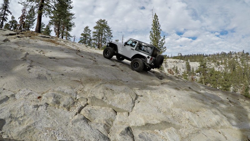
This short, steep 4x4 trail, 26E330 - Powder Hill, is a small part of the Bald Mountain OHV trail network near Shaver Lake in the Sierra National Forest.
Powder Hill includes some amazing views of the surrounding forest and one of the longest and steepest hill climbs in the Bald Mountain trail system.
Updated: 02/05/2026
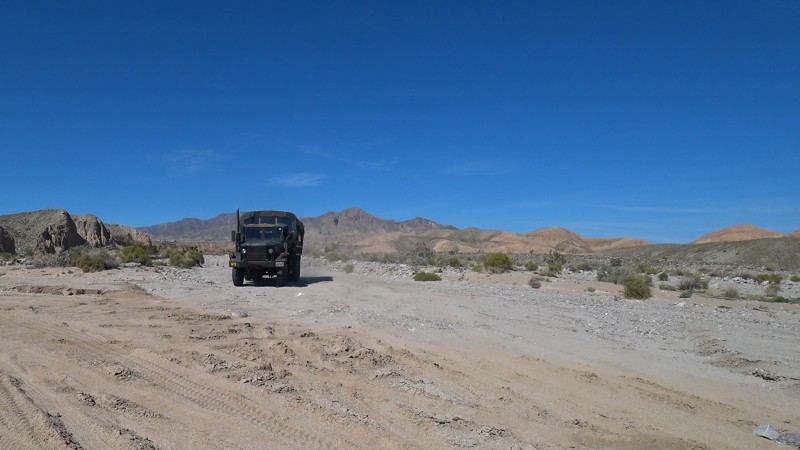
Arroyo Salado Wash
Salton City, California
Arroyo Salado Wash is on the northern side of Ocotillo Wells OHV and Anza Borrego State Park. This east-west trail provides great views and fun exploring. With several natural oases off this trail and an amazing mud cliff, this is one of the better overlanding routes in the area. On the northwestern end of the trail, the Arroyo Salado Primitive Campground has a variety of unimproved sites and a vault toilet.
Updated: 08/11/2026
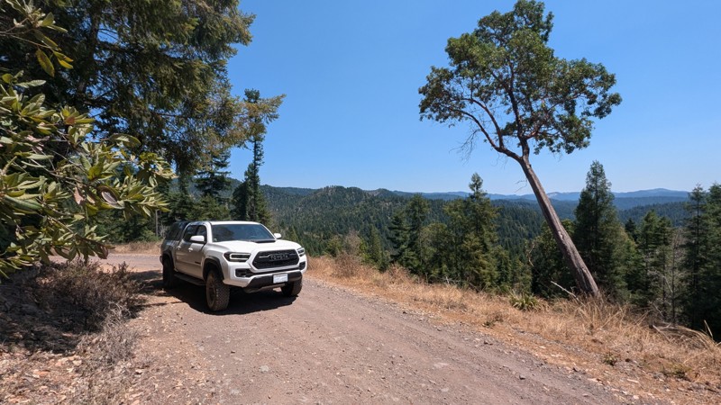
Fort Bragg/Sherwood Road
Longvale, California
Traversing the mountains and redwood forest of Mendocino County, Fort Bragg/Sherwood Road is a seasonal, unpaved road connecting Willits and Fort Bragg. The 24 miles of dirt are a single-lane trail, winding through the forest and traversing ridges with spectacular views. This trail goes deep into the mountains and is very secluded, with many logging road spurs. Most of the spurs are closed with large metal gates, but there are enough open that it may be possible to get lost if you make a wrong turn. Cell service is spotty, so following your GPS closely is crucial.
This trail can become very muddy and impassible when wet. This is evident from the deep ruts found along several sections of the trail. When dry, the trail is easily traversed by a high-clearance vehicle, and 4WD might not be necessary. Users will need to traverse steep hills, ruts, and one constantly muddy section thanks to a natural spring. There are a lot of tight blind turns along this single-lane road. Thus, users should be cautious of any oncoming vehicles. This trail is popular for overlanders, motorcycles, and locals.
No suitable camping exists along the trail as all adjoining lands are privately owned.
Updated: 02/27/2024
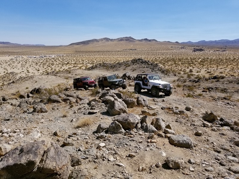
Camp Rock - Johnson Valley
Yucca Valley, California
Who doesn't love a good moderate trail to play on right next to your camp. Camp Rock Trail is that fun and exciting 4x4 trail just waiting for you to take the Jeep, Toyota, or whatever your off-road vehicle is and have some fun. The trailhead can be seconds to only a few minute drive from many of the popular camping areas of Morongo Desert Run Road, this short but thrilling intermediate offroad trail has it all, hill climbs, rock crawling, small ledges, and best part... views. Thus the next time you are in Johnson Valley OHV and you are sitting at camp looking for a little excitement or want to sneak away for some great views, think Camp Rock Trail just off of Morongo Basin Desert Run Road.
Updated: 11/14/2025
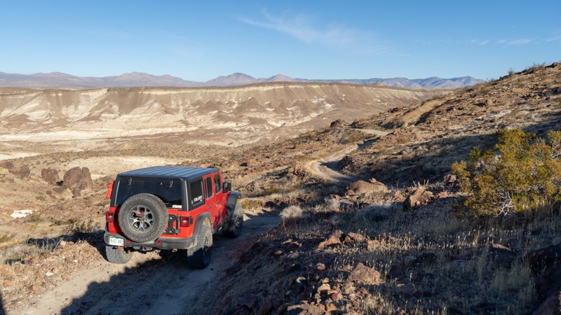
EP 18
Ceneda, California
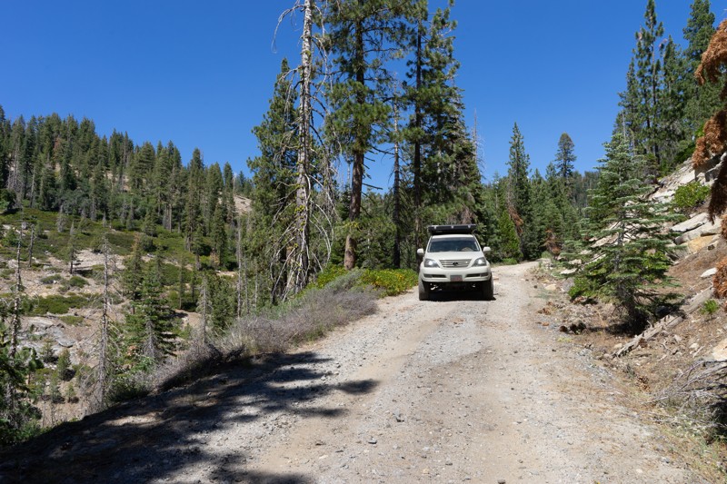
Coming into the southern end of Red Rock Canyon State Park is a lesser-used trail labeled EP 18. This bumpy 2-track is full of incredible views both down the canyon and into the park, and across its surrounding hills. As you ascend the canyon, the trail is relatively easy, with a few ruts to slow you down. Once you are past the mine, the trail turns into a shelf road cut into the side of the hills. There is minimal passing room, but full-width vehicles will fit just fine. The most challenging part of the trail comes about halfway through when the road suddenly turns down one of the hills and presents a steep hill peppered with loose, softball-sized rocks. 4WD is required, and a locker may help, especially if you are coming uphill. After this hill, you will traverse a few more mounds before reaching its terminus at Trail 86B.
There is no camping along this trail despite a small portion of the southern end lying on BLM land. The only camping allowed within Red Rock Canyon State Park is the developed Ricardo Campground across CA-14 near the visitors center.
Updated: 08/11/2026
Box Spring
Long Barn, California
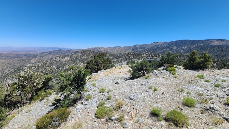
Box Spring may be for you if you are an offroader with a love of backcountry hiking. Although the trail doesn't pose any difficulties, this gives you direct access to the Bourland Meadow Trailhead and Box Spring Trailhead, which lead directly into the Emigrant Wilderness. The Bourland Meadow Trailhead parking is pretty tight. However, Box Spring has plenty of room. There was evidence of others camping at the Box Spring Trailhead in the past; however, the legitimacy of the campsite is unknown and should not be considered an official dispersed site.
OPEN SEASONALLY: 04/15-12/15
Updated: 06/10/2026
Tip Top Mountain
Doble, California
Located in the Mountain Top Ranger District of the San Bernardino National Forest (SBNF), 2N90 is an up-and-back trail chiseled into the steep side of Tip Top Mountain. This trail climbs 2,300 feet over an extremely rough, rocky, and narrow shelf road that eventually reaches the 7,500-foot summit. Once on top, the views are magnificent. This trail requires an expert driver with a suitable high clearance four-wheel drive vehicle and low range. Drivers will be required to manage very steep grades, narrow trails, sharp alignments, rough or loose tread surfaces, and substantial obstacles.
Dispersed camping is permitted when following the SBNF Dispersed Camping Guidelines. However, the only suitable dispersed campsite is at the end of the road, on top of the mountain, where level land and inspiring views are available. Be sure to follow all Current Fire Restrictions and Related Prohibitions and obtain a California Campfire Permit before camping.
Updated: 04/26/2025
June Wash
Mesquite Oasis, California
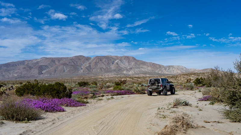
June Wash in the Anza-Borrego Desert State Park is notable for its desert flower blooms in February and March. The road is primarily sand until the very end, where it enters a badlands and gets narrow and rocky. The trail is an out-and-back. While you could camp in June Wash, it's not ideal.
Updated: 04/15/2024
9S62 - Dinkey Lakes
Shaver Lake, California
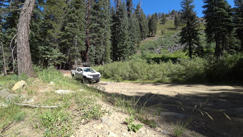
From first time wheelers to experienced off-roaders and hikers, all will find something to love about this trail. While the trail itself is an easy dirt road, the scenery along the way and destinations near and at the end are what this trail is really about. For the beginners, this smooth dirt road is a scenic run through the Sierra National Forest east of Shaver Lake, California and makes a great out-and-back addition to a drive over Foster Ridge. For hikers, it all about the trails ends where you can park and continue on foot to the Dinkey Lakes in the Dinkey Lake Wilderness to the east. For the experienced wheelers looking for something more technical, Swamp Lake Trail is straight ahead.

Upgrade your Membership
Unlock all of the details on every Trail Guide and Scout Route.
Start a 7-day Free TrialBrowse Trails in California by City
Browse every California city with offroad trail guides.
Community
Partners

