




By clicking "ACCEPT", you agree to be the terms and conditions of each policy linked to above. You also agree to the storing of cookies on your device to facilitate the operation and functionality of our site, enhance and customize your user experience, and to analyze how our site is used.
California Off-Road Trails
415
Total Trail Guides 392

4106
Detailed Waypoints 524
Try a Free 7-Day Trial and unlock it all
Start a Free Trial Most Recent Trail Reviews
Rated 5/5
Open
Visited: 09/19/2026
Great beginner trail here for those looking to try out some rockier sections. Starting to trend a little closer to a rating of 4, but still a 3 I’d say

R
Rob
Rated 5/5
Open
Visited: 09/19/2026
I entered this trail from Freeway Ridge 4WD trail (31E77) and ran Black Gulch Jeep Trail up to Rancheria Road, turned around, and ran Black Gulch Jeep Trail all the way down to Keyesville Road in Lake...



Daniel Macioce
Rated 4/5
Open
Visited: 09/19/2026
Took out the vstrom 800de today and this thing was tough for someone like me who is pretty new to offroading motorcycles. I ended up turning around about half way because I wasn't sure if I would be a...
SK
sean kotrola
No Rating
Open
Visited: 09/19/2026
The trial marked by the app here is very difficult with all the recent deep washouts. Proceed at your own risk if you are by yourself with unmodified rigs. However the bypass is maintained and should ...
TB
Timmy Boby
Rated 5/5
Open
Visited: 09/18/2026
Very friendly fire watch tower volunteers and fantastic 360 degree views up top
R
Rob
Rated 5/5
Open
Visited: 09/18/2026
Great views and an easy drive through. Be sure to take the road up to the fire watch tower
R
Rob
Rated 5/5
Open
Visited: 09/17/2026
ran the trail twice last weekend, this is such a better way to go than 3n16...


Josh Noesser
Official Crew
Rated 5/5
Open
Visited: 09/16/2026
It's been 6 years since I visited this trail. It has seen some wear, but the overall difficulty is about the same, probably a bit higher now, as Waypoint 11 has suffered from traffic. Waypoint 11 ha...

Robert
Official Crew
Rated 5/5
Open
Visited: 09/16/2026
Started off from polique canyon at way point 13 and headed east. Its a great trail for most of it with scenic views. A good amount mud puddles that were fun as hell to drive through. Some I decided to...


VM
Victor Manuel Garcia
Rated 5/5
Open
Visited: 09/16/2026
Used this trail to get to Holcomb valley. Super easy and a nice drive, I can see how in the winter it can be a bit more challenging with rain and snow.
VM
Victor Manuel Garcia
No Rating
Open
Visited: 09/16/2026
Mostly easy, but heading NE there's a rock step down just a few miles in that *requires* high clearance. Banged the rear end of my 4runner despite having a 3" lift and 33" tires. A stock SUV would alm...



Carlos H.
Rated 5/5
Open
Visited: 09/15/2026
It's been over 4 years since I was last on this trail, and I was very happy to see that the old car was still there. Some research suggests that it is a 1939 Plymouth Road King 5-window coupe.


Robert
Official Crew
Rated 5/5
Open
Visited: 09/14/2026
A fun little detour off Burns Canyon. I ran this alone and stopped a few times to spot; I also used my grill camera in several places. I brushed my sliders a couple times, but no real issues. Definite...
EB
Ed Boyd
Rated 5/5
Open
Visited: 09/13/2026
easy perfect beginner off roader trail with great views and water crossing during the winter.



Dex Offroad
Rated 5/5
Open
Visited: 09/12/2026
Fenders Ferry kept giving me reasons to slow down and enjoy the ride. I loved winding along mountain ridges, following creeks, and catching glimpses of Shasta Lake's fingers tucked between the hills. ...



Rose Meirs
Official Crew
Rated 5/5
Open
Visited: 09/11/2026
super easy trail over looking the valley and 15fwy. only bad thing is that its super windy.

Dex Offroad
No Rating
Partially Open
Visited: 09/09/2026
Although you can cross the creek from Fordyce if you want, Committee Road is still closed back to the I80, so this has no exit, and you'll be forced back onto Fordyce.

Ryan Boudreau
Official Crew
No Rating
Temporary Closure
Visited: 09/09/2026
Road is still closed. I thought i read somewhere an expected 2030 opening, but can't confirm that info.
Ryan Boudreau
Official Crew
Rated 5/5
Open
Visited: 09/09/2026
This is an awesome trail . This trail is moderate with a few obstacles to make it fun. It also has incredible scenic views with a little bit of shelf roads. You can watch the full video on my YouTube ...


Dex Offroad
Rated 5/5
Open
Visited: 09/07/2026
Pretty spot on with the rating, was a little tough today with the rain but made it through in my 2023 Gladiator Overland with 2.5” lift and 35s with autolynx sway disconnects.


CT
Christopher Tanton

Shaan Heugly
Rated 5/5
Open
Visited: 09/06/2026
Drove reverse from what’s listed to the jasper trail. This is a easy but enjoyable trail with plenty of places to camp at the end of the
Shaan Heugly
Rated 5/5
Open
Visited: 09/06/2026
Bit washed near the top but nothing difficult to navigate. I headed from jasper to the highway and near the highway it did narrow. I got through with my Tacoma but there are a few pinch points I could...
Shaan Heugly
Rated 5/5
Open
Visited: 09/06/2026
Mostly easy trail but when going south to north, I did need to use 4Lo on some of the inclines with a loaded Tacoma
Shaan Heugly
Rated 4/5
Open
Visited: 09/05/2026
It had been five years since I last drove this trail. The long, annoying stretches of moguls are still there, and water erosion has added a touch more difficulty in places. It was nice to see the old ...


Robert
Official Crew
Rated 4/5
Open
Visited: 09/05/2026
This is a nice trail with great views for any 4WD with ground clearance as some sections have ruts that are 12+ inches deep. Things were very dry on my visit, so airing down the tires helped to smooth...


SG
Steve Graham
Rated 3/5
Open
Visited: 09/05/2026
From waypoint 7 to 10 the water damage is pretty bad. Waypoint 13-16 it is rocky. Nothing crazy but a few spots where patience and the right line will go a long way. Good clearance and 4x4 recommended
N
Noah
Rated 5/5
Open
Visited: 09/05/2026
Easy trail with an awesome view at the end. There were three lookouts in the fire tower and each one was super friendly and informative. Must see trail!


N
Noah
Rated 5/5
Open
Visited: 09/05/2026
fun easy trail, Butler Peak lookout is the highlight imo
N
Noah
Rated 5/5
Open
Visited: 09/04/2026
Trail was very well maintained. Thanks for the Fresno 4x4 club. It was very cold at night, into the 30s. We were on the trail two nights, 3 days and two nights at voyager rock due to a breakdown fr...
JD
John Drago
No Rating
Open
Visited: 09/04/2026
Beautiful area, but the trail itself wasn’t very interesting. I’d rate it around a 3/10, with a couple of optional sections that might push a 4.
There’s tons of dispersed camping throughout the area,...


Ryan Smith
Rated 5/5
Open
Visited: 09/01/2026
awesome trail with a lot of water crossings. just be careful of sxs and bikes since its a OHV area.

Dex Offroad
Rated 5/5
Open
Visited: 09/01/2026
Super easy trail and you can over look the high desert. Trail ends at an awesome view point.

Dex Offroad
Dex Offroad
Rated 5/5
Open
Visited: 08/31/2026
This trail is much harder than it used to be. It’s just as breathtakingly beautiful as ever. You are on your own out there. Fuel, parts, spare tire. It’s days from help if you need it so go prepared. ...

CP
Christopher Pepin
No Rating
Open
Visited: 08/30/2026
Ran this trail today and had fun. Easy trail with great views. I wouldn’t hesitate to take an experienced driver in a stock jeep up this. There are lots of trails in this area and way to get off the m...

CP
Christopher Pepin
No Rating
Open
Visited: 08/29/2026
Trail was in good shape, a little less sand makes the boulders a little bigger. People have made the bypass around the sluice a little bit longer than it used to be you miss a lot of the good rocks. O...
C
Campbell
Rated 5/5
Open
Visited: 08/29/2026
An often overlooked and amazing trail. It’s about the length and difficulty of the rubicon if you don’t hit any of the bypasses on the rubicon. We had a group of 3 lj on 40s, a jku on 42s, and an Xj o...
CP
Christopher Pepin
Rated 4/5
Open
Visited: 08/27/2026
This is most definitely a hard trail. Is the entire thing hard? Not at all. The western 7 miles are a hard packed dirt road. Then you run into 3 straight, large boulder obstacles where its clear many ...


Ryan Boudreau
Official Crew
Rated 4/5
Open
Visited: 08/27/2026
Easy drive with beautiful views and . . . Buck Rock! Lots of camping south of Buck Rock, but camping north of the Rock isn't as plentiful. There are a few others on the north, but there's one here: 36...


Carlos H.
Rated 5/5
Open
Visited: 08/26/2026
I really enjoyed this road. It's super scenic with the sierra's in the background, the white beaches, and the columns are really cool. The road is not anything challenging with a high clearance vehicl...


Ryan Boudreau
Official Crew
Rated 4/5
Open
Visited: 08/25/2026
Fun area. The hot springs are pretty popular and well-known, and because they are small, you'd better hope you are one of the first people there that day if you want to get in. The route is easy, exce...


Ryan Boudreau
Official Crew
Rated 4/5
Open
Visited: 08/25/2026
I liked this trail a lot, but it's not quite a 5-star trail for me. I feel like it's a little overhyped. Is it scenic? Absolutely! Is there tons of great camping? Totally! Is it a crazy busy? You Bet!...


Ryan Boudreau
Official Crew
Rated 4/5
Open
Visited: 08/25/2026
Road to the hot springs parking area is easy. There are regular passenger cars there. The hike is easy too. The tub itself is super scenic, but know that they are not hidden gems by any means and we'l...

Ryan Boudreau
Official Crew
Rated 3/5
Open
Visited: 08/25/2026
It's a simple road, but definitely very scenic and really only used to get from Convict to Laurel Lakes or Mammoth. Road is suitable for anything with decent ground clearance.


Ryan Boudreau
Official Crew
Rated 2/5
Open
Visited: 08/25/2026
Simple dirt road used to access other types of recreation. Many signs remind you that you aren't allowed to camp along it except at the campground.


Ryan Boudreau
Official Crew
Rated 3/5
Open
Visited: 08/23/2026
Simple, straightforward dirt road used for fishing access.


Ryan Boudreau
Official Crew
Rated 5/5
Open
Visited: 08/23/2026
Amazing views at the top of this trail. Erosion looks to be making this trail harder than it probably originally was. Most of the hardest spots are getting bypasses created around them. A short, st...



Dan Jurgella
Rated 5/5
Open
Visited: 08/23/2026
Toad Lake Road 40N64 was a long, slow, and wonderfully remote drive into the Trinity Divide. The changing mix of old pavement, dirt, loose rock and deep ruts kept the journey interesting, while forest...


Rose Meirs
Official Crew
Rated 5/5
Open
Visited: 08/23/2026
North Fork 41N53 was a fun backcountry drive through the forest west of Mount Shasta. Early in the trip, a wrecked motorhome beside the road provides unforgettable confirmation that you are on the rig...


Rose Meirs
Official Crew
Most Popular
Updated: 07/08/2024
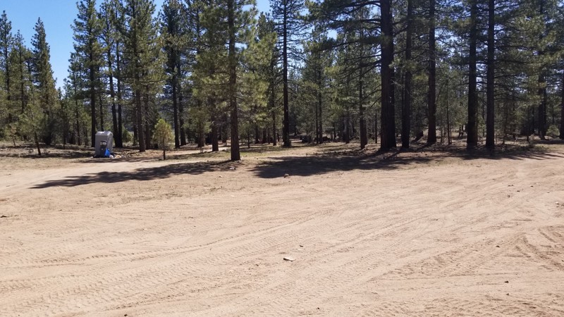
Holcomb Valley Dispersed Camping Area
Fawnskin, California
In the forest of Big Bear are a ton of great trails and a lot of camping. One such of these areas is a dispersed camping area in the Holcomb Valley. The area is full of lush green forest and bushes plus a stunning view of Holcomb Valley in the background. The area is large and flat and perfect for groups or families looking to escape the crazy life of SoCal and slow it down a bit. Because the area is dispersed, the area has way fewer people than camping in a campground. But with that said, it is rare that wood or charcoal fires are allowed in this area so bring a gas campfire for your nightly ritual.
Updated: 07/12/2024
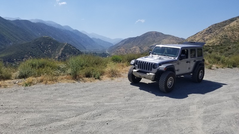
2N53 - Applewhite Road
Lytle Creek, California
Tired of being stuck in traffic on the 15 freeway and looking for a different route other than the same old Route 66. How about taking a right not far from Cleghorn and cutting over the mountains to Lytle Creek. This easy and scenic trail is a great way to get away from the people and relax. Whether you are starting near Lytle Creek and you want to do dirt paths to Cleghorn or on the 15 Freeway and need a break. This easy path is perfect for all skill levels that are looking to get away from the traffic and just relax.
Updated: 05/05/2026
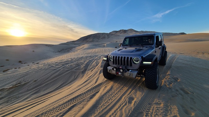
Superstitions Sand Dunes
Brawley, California
On the southern side of the Superstition Hills in California is a neat area that is often overlooked due to its neighbor Glamis aka Imperial Sand Dunes. This area is full of sand dunes and other unique features to sand areas. The Superstition Sand Dunes is a rather large area meaning there are plenty of places to play in the sand and to be away from people. With some unique bowls and canyons, razorbacks, and massive sand dunes, this area is a ton of fun to explore and play around in. So if you are in the area, looking for a different place to play, check out the Superstition Hills and the Sand Dunes that are at them.
Updated: 05/23/2024
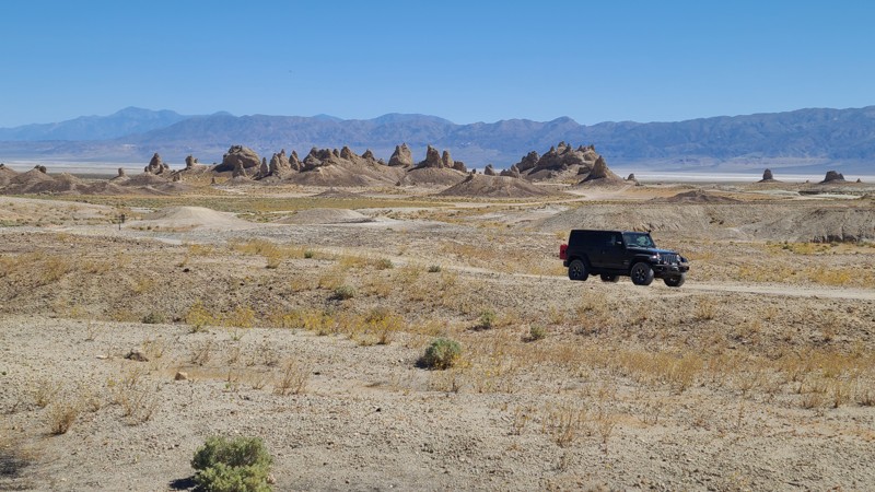
Trona Pinnacles Road
Ridgecrest, California
In the high Mohave Desert near Ridgecrest, California, is one of the desert's most unusual geologic wonders. The Trona Pinnacles are a concentration of large vertical spires rising up to 140 feet from the Searles Dry Lake base bed. The site has more than 500 spires, from short and squat to tall and thin, and are composed primarily of calcium carbonate (tufa) formed underwater when the area was a lake 100,000 years ago. The Pinnacles are recognizable to many because they have been used as a filming location for more than a dozen hit movies, including Planet of the Apes and Star Trek. This 14-square-mile area was designated a National Natural Landmark in 1968, and visitors are free to drive through, hike, and camp amongst the towers. Come for the main attraction, or drive the hundreds of nearby four-wheel drive roads, or better yet, come and do both!
Updated: 11/06/2023
Spanish OHV Route
Shaver Lake, California
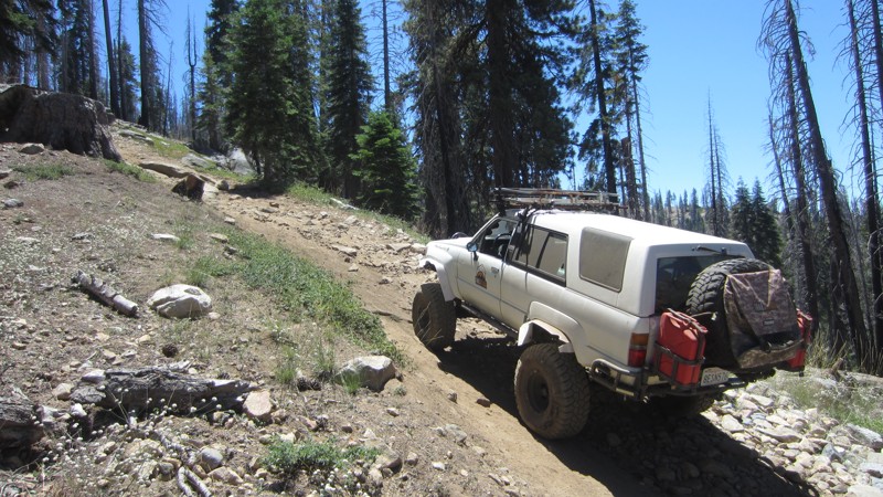
Tucked up against the John Muir Wilderness in the Sierra National Forest, Spanish OHV Route climbs 2,500 feet up a ridgeline that affords spectacular views into Crown Valley, down the North Fork of the Kings into Granite Gorge and out to the Central Valley, and up to the high peaks of Kings Canyon National Park. The area that Spanish OHV Route accesses is rumored to have once been mined by the Spanish for gold although only scant evidence of prospecting exists several miles beyond the end of the trail. Perhaps you will be the lucky person to find the lost Spanish gold mine.
The trail becomes progressively more challenging as it ascends through the forest. There are obstacles that have challenging lines for experienced drivers with built vehicles as well as lines that can be accomplished by those who are newer to offroading and with only lightly built rigs.
Several campsites with outstanding views are available along the trail. Several good fishing lakes (Little Spanish Lake, Spanish Lake, Twin Lakes, and Upper and Lower Jeraldine Lakes) are along the last 5 miles of the trail.
Spanish OHV Route is pet-friendly although there are often many cows and deer along the route that may be tempting for dogs to chase.
Updated: 05/17/2024
Coral Wash
Salton City, California
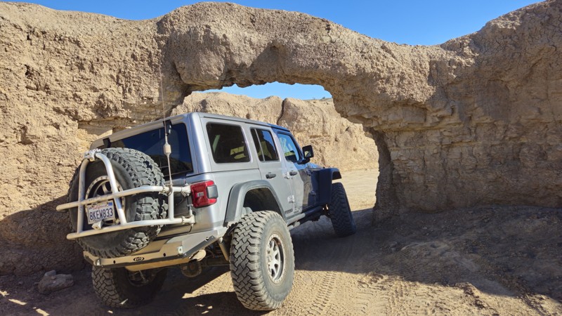
In Truckhaven Hills, near the Salton Sea, Coral Wash is often used as a desert highway between destinations in the vast emptiness of the Colorado Desert. This trail is often used to get to one of the many sightseeing, unique features, or legendary obstacles just off the side of the route. Another significant must-stop for this trail is the famous Coral Arch, a mud arch large enough to drive a vehicle through. So whether you are camping in the area or just passing through, take a quick detour up Coral Wash to see the unique and exciting things of the low desert.
Updated: 05/23/2024
Short Wash
Borrego Springs, California
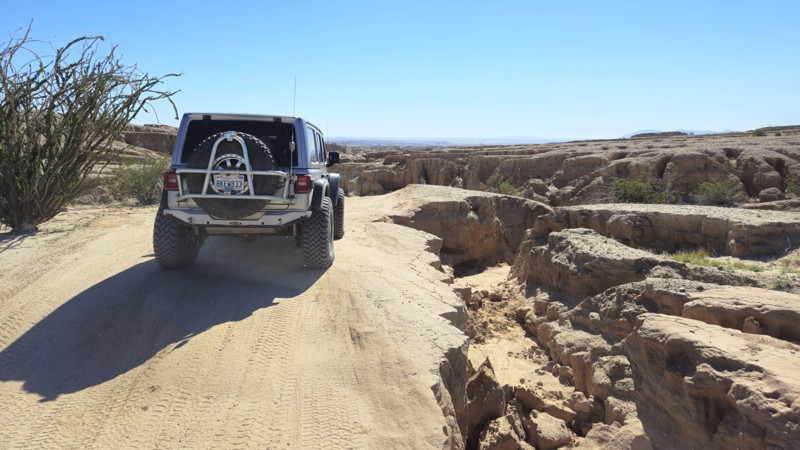
When traveling through the deserts of Ocotillo Wells and Anza-Borrego State Park, there is an amazing scenic shortcut when heading to Fonts Point. Short Wash provides a pleasant drive in an area that humans rarely touch. This backcountry trail is one of the more peaceful drives in the area, and many find it to be one of their favorites. Along the route, you will see the Santa Rosa Mountains hovering off to the north, while at the same time surrounded by all the fantastic desert flora and fauna. If you are sightseeing or on an overland adventure, check out this scenic route through the desert.

Updated: 05/23/2024
Kramer Arch
Barstow, California
Kramer Arch, located near the abandoned ghost town of Calico, is a stone arch just large enough for a vehicle to squeeze through. Because of this, people come from far away to experience this unique site for its interesting challenges and photogenic qualities. Simply said, a photo of your vehicle crossing the event horizon of Kramer Arch is a spectacular moment for both vehicle and driver. A moment that can live forever on the wall of your living room or office.
Whether heading to the SoCal Desert for the Famous Mojave Road or Calico for its legendary silver mining history and off-roading, a stop at Kramer Arch is a life-changing and must-do event.
Updated: 04/03/2025
Trail 86B
Cantil, California
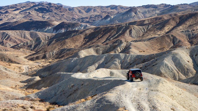
With only a few hours' drive north of Los Angeles, spectacular canyons can be observed in the El Paso Mountains. Previously home to the Kawaiisu Indians, the El Paso Mountains contain much of their heritage to this day. Later on, mining became the mainstay. Many mining camps of different minerals are spread across this mountain range. The Dutch Cleanser Mines, Bickel Camp, Cudahy Camp, Burro Schmidt Tunnel, Holland Camp, and Holly Ash Mine are just a few of the attractions. Trail 86B is part of the State Motorized Trail System Route #6 and is near Cudahy Camp. Cudahy Camp is an interesting mining camp in that it has a door on the side of the mountain that leads to a single room, and nonindigenous pine trees can be found near the building foundations. So, whether you're overlanding or just taking your 4X4 out for quick access to the many trails within the Red Rock State Park system, Trail 86B is a great choice.
Updated: 09/24/2024
Owls Head Mountains / Microwave Tower Road
Shoshone, California
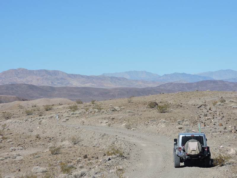
This easy 4x4 backcountry route is the only access to the remote Owlshead Mountains in the extreme southwestern corner of Death Valley National Park. It is perhaps the most remote backcountry road in the Park and far from much else. Wide open vistas with unusual geologic formations and the possibility of observing military aircraft training await you. You will climb nearly 4000 feet in elevation with stunning scenery along the route with the possibility of spotting wild burros and desert bighorn sheep.

Updated: 09/16/2026
Fordyce Lake Road
Baltimore Town, California
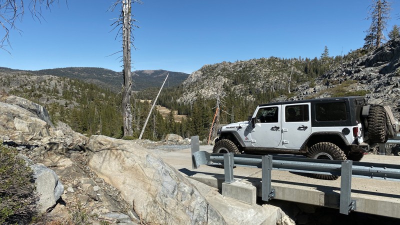
Fordyce Lake Road / Rattlesnake Road is an easy and scenic trail best know as an alternate entrance/exit to the iconic rock crawling trail: Fordyce Creek / Fordyce Jeep Trail. Fordyce Lake Road sits in the Tahoe National Forest and connects from the Cisco Grove area to Fordyce Lake, just short of the dam, which is gated. This is a great trail for just about anyone. While rock crawlers might use it as a shortcut into or out of the harder trail, overlanders and new wheelers can enjoy the scenery and camping along this trail.
Updated: 06/21/2024
5S21 - May Valley Road
Idyllwild, California
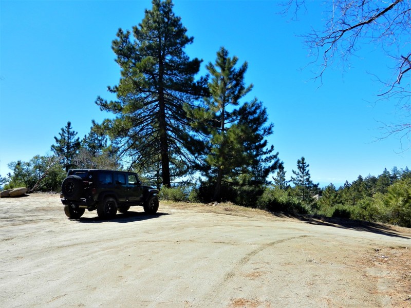
5S21 - May Valley Road is another beautiful off-road trail in the San Jacinto Mountains near Idyllwild, California. It currently is a short (1.7 mile) out and back trail due to the 2013 Mountain Fire. When the closure is lifted it is a 5-6 mile trail, continuing southeast to Hwy 74. It is an easy drive with many spots to pull over for a lunch stop or photography. You will travel through pine, oak, cedar, manzanita and sage. Watch for deer, bear, rattlesnakes and other critters that make this area their home.
Updated: 04/22/2024
2N04 - Balky Horse Canyon
Big Bear Lake, California
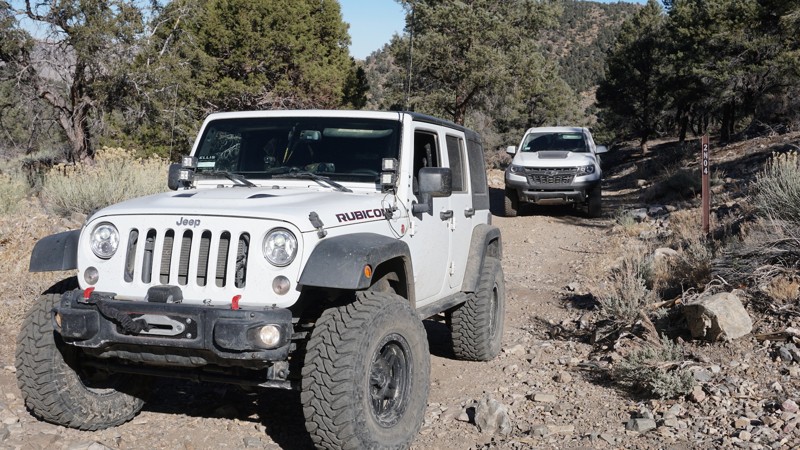
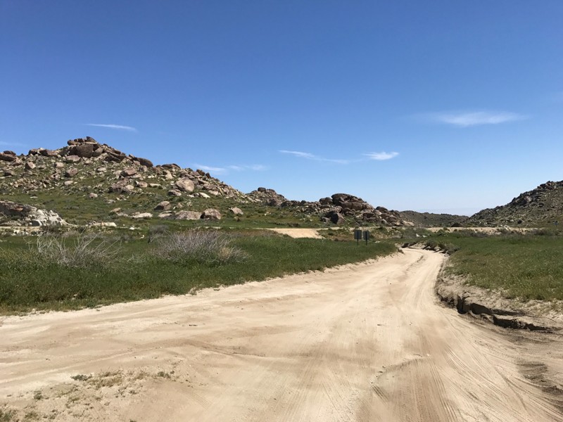
This scenic, winding, forest road in Big Bear, California travels from 2N01 - Broom Flat, across a high, narrow shelf road and loops back to CA 38. 2N04 - Balky Horse Canyon is a great off-road trail for less experienced wheelers to explore while in this southeastern section of the Big Bear mountains, or a great add-on connector for more advanced wheelers, with time to kill, on their way to or from the more technical 4x4 trails nearby, such as Heartbreak Ridge or Motino Wash.
Updated: 03/15/2024
Old Culp Valley Road
Borrego Springs, California
This short but interesting trail is what remains of the old route through Culp Valley on the mountainous western edge of Anza-Borrego Desert State Park. Culp Valley was home to a fairly large Cahuilla village, and a few Cahuilla dwellings remained into the 1900's. It also became home to a handful of homesteader families who ran cattle in the valley. Remnants of one of these homesites, settled by the Paroli family, can still be seen.

Updated: 03/19/2025
Alabama Hills – North Area Southwest Day-Use Loop
Lone Pine, California
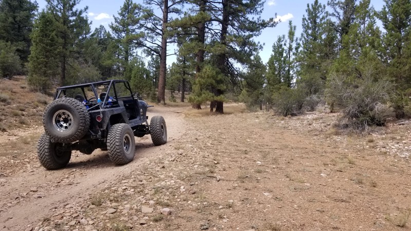
Alabama Hills draws people from all over for the interesting views of the Sierra Nevada Mountains and the endless outdoor activities that can be found in this area. This loop, at one time, was known for world-class camping and now is a day-use only area. If you are looking for a spot to pop the sunshade for a day, relax or go for a hike, this is it. Please remember to pack out more than you packed in!
Updated: 06/05/2023
3N02 - Burnt Flats
Big Bear Lake, California
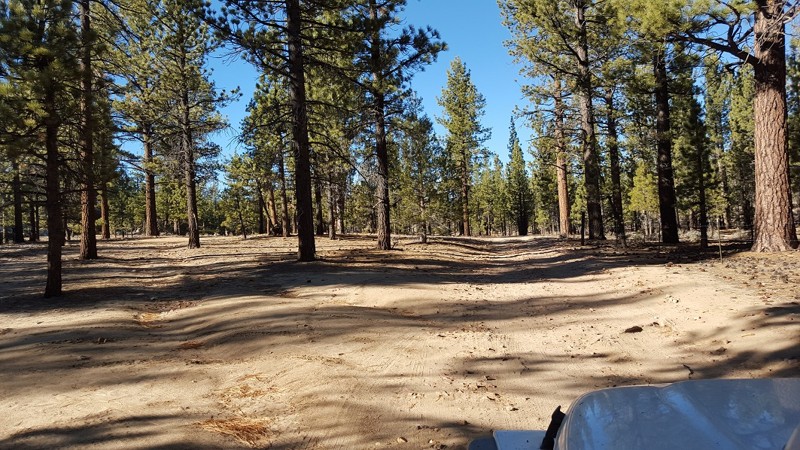
On the east side of Holcomb Valley in Big Bear, California is an easy trail that is perfect for the first time offroaders and overlanders. 3N02 - Burnt Flats is a great drive through the San Bernardino National Forest. This scenic trail starts out near the historic 3N16 - Holcomb Valley Road trail and heads north up and over the peaks of the mountains. Along the route, there are a few places for small groups to camp and enjoy a relaxing weekend. But if you want to push yourself a little more, 3N02 - Burnt Flats also has the little brother of the famous John Bull trail which is 3N10 - Little John Bull connecting to it. So whether you want to go up to camp or if you want to get the wheels dirty, think about checking out 3N02 on your next trip.
Updated: 08/14/2023
3N32 - Union Flat
Big Bear Lake, California
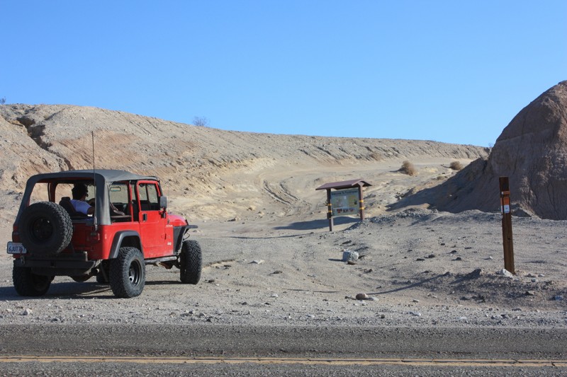
An easy to mild trail, 3N32 offers the quickest route to the legendary John Bulls GateKeeper. Along the route, you will find lots of small rocky areas and an articulation spot that is great for a new driver. While traveling to John Bull, you will pass by some great climbers areas including Coyote Crag and the turnoff to The Squeeze. Due to the remote nature of this trail, there is some great places to dispersed camp when looking to get away from the crowds.
Updated: 06/05/2022
Truckhaven Trail
Salton City, California
As you venture down the Truckhaven Trail you will be rewarded with stunning views of the Salton Sea to the East, a look into Ocotillo Wells SVRA to the South, and Truckhaven Hills to the North. The best thing about Truckhaven Trail is that it offers routes into each of these areas. With just a short drive to the North you will end up in Truckhaven Hills, a favorite among familes and rock crawlers alike, or head South and hit the 4x4 park in Ocotillo Wells or venture out and discover all of the landmarks Ocotillo Wells offers. During the colder desert months and holiday weekends this area is crawling with off-road enthusiasts as it offers just about every level of difficulty you can ask for.
Updated: 05/11/2024
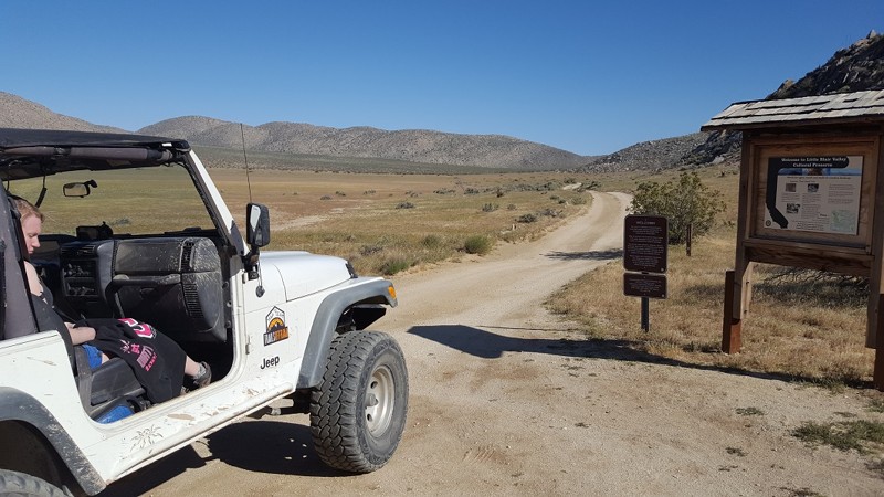
Little Blair Valley
Borrego Springs, California
One of the most amazing areas of Anza Borrego State Park can easily be said to be Blair Valley and Little Blair Valley. Given its historical significance, beautiful desert flora, and the fact that it offers some of the best views in California, it is no wonder many off-roaders, overlanders, 4x4 explorers, and outdoor enthusiasts make this a must-visit when in the area
Updated: 01/21/2026
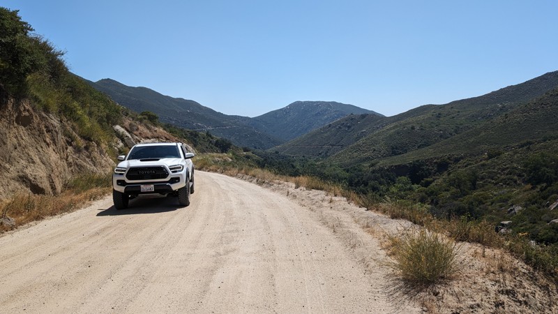
Black Canyon Road
Ramona, California
A nice windy and scenic road connecting Ramona to Santa Ysabel, passing through the Mesa Grande Indian Reservation. The road ranges from nicely graded, wide dirt road, to narrow shelf road with blind turns. There views are stunning and quite memorable with places to pull off an enjoy them.
The road consists of finely ground granite/DG on top of hard-packed dirt, so it can get a little rutted with rain. Since this road is graded, virtually any street-legal vehicle can traverse it, but motorcycles should use extreme caution, as motorcycle tires, especially those with more aggressive tread, can easily lose traction.
The hardest part of this road are the narrow blind turns, which also make it quite unique. Take them slow, honk your horn, and you'll be fine.
While this isn't a road that requires high clearance or 4WD, it does provide an opportunity to traverse part of the county off-pavement.
There are no spots for camping along this route.
Updated: 06/05/2025
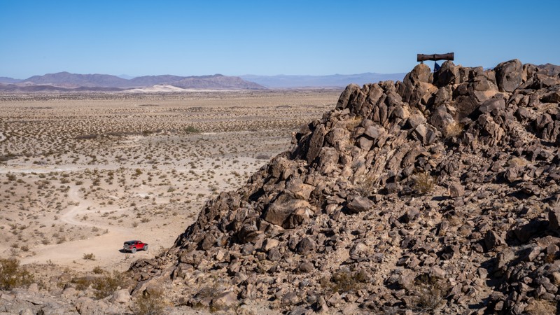
Crucero Road
Ludlow, California
Just north of Ludlow, Crucero Road is a remote desert road that dives deep into the vast expanse of the Mojave Desert. Following the path of the long-abandoned Tonopah and Tidewater Railroad, this sandy and rugged road offers a unique blend of history, isolation, and stark desert beauty. Drivers will traverse dry lake beds, skirt around ancient lava flows, and discover remnants of long-forgotten sidings and mysterious objects that dot this desert landscape. Along the way, keep an eye out for rusted railroad artifacts, old rail beds, and the haunting stillness that defines this part of the Mojave.
Updated: 10/22/2023
3S09 - Hurley Flats
Idyllwild-Pine Cove, California
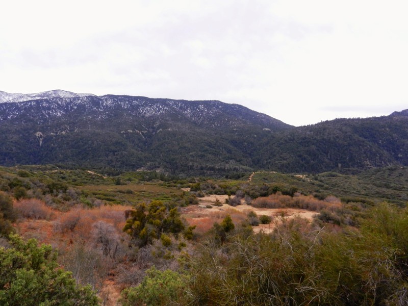
3S09 - Hurley Flats is a 4wd offroad trail in the San Bernardino National Forest. This trail is perfect for the new wheeler as there are no obstacles. Pair it with a loop run with the trail to the east 3S08 Vista Grande for a day of sightseeing, photography, and fun. It is the most northern Forest Service numbered trail in the San Jacinto Mountain District. Though shorter than 3S08 - Vista Grande, it is a carbon copy with it's lower elevations almost desert like, to it's forested and wooded, green meadow like climate at the southern end. The northern trailhead is just off Hwy 243 on Twin Pines Road, and the southern trailhead ends on Hwy 243 less than a mile from the trailhead for 3S08 - Vista Grande.
Updated: 07/20/2024
1N64 - Seven Pines
Redlands, California
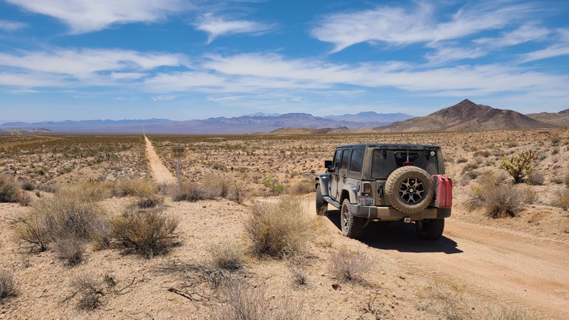
1N64 - Seven Pines is a wonderful off-road, 4x4 trail in the San Bernardino National Forest. Seven Pines is just one of the many beautiful trails in this Seven Oaks Canyon, including City Creek, Clarks Grade, and Radford. The Santa Ana River begins its journey to the Pacific Ocean in this canyon. This trail is a gem for the dispersed campsite camper, along with it's connecting brother, 1N64A - Slide Lake. Be watchful of bear, mountain lion, deer and the smaller animals who make this area their home.
Updated: 11/26/2024
Needles to Ludlow Truck Trail Part 1
Topock, California
The Needles to Ludlow Truck Trail Part 1 when included with Part 2 is a 112-mile trek across the Mojave Desert. Part 1 starts in the rugged Sacramento Mountains, and looking back east is a green band following the Colorado River. Once out of the mountains, the trail is a straight line across the sandy desert floor through the Ward and Fenner Valleys, eventually reaching the famous Route 66. The abandoned Gold Ace west Mine is a great stop to inspect the mine's artifacts and try to reconstruct what once was a thriving operation. The trail is flat and maintained, and it is unlikely you will encounter another traveler. The trail is a great route for all driving skills when taking the proper safety precautions for a stay in the hot, desolate desert.
One major warning: It is illegal and dangerous to cross railroad tracks other than at a designated roadway crossing. NS-203 is shown on all maps to cross over a busy section of tracks with no roadway crossing and is heavily used by trains in both directions. The track for this route provides a safe and short detour to a legal road crossing at the town of Essex and then continues back onto NS-203.

Upgrade your Membership
Unlock all of the details on every Trail Guide and Scout Route.
Start a 7-day Free TrialBrowse Trails in California by City
Browse every California city with offroad trail guides.
Community
Partners

