




By clicking "ACCEPT", you agree to be the terms and conditions of each policy linked to above. You also agree to the storing of cookies on your device to facilitate the operation and functionality of our site, enhance and customize your user experience, and to analyze how our site is used.
California Off-Road Trails
415
Total Trail Guides 392

4106
Detailed Waypoints 524
Try a Free 7-Day Trial and unlock it all
Start a Free Trial Most Recent Trail Reviews
Rated 5/5
Open
Visited: 09/19/2026
Great beginner trail here for those looking to try out some rockier sections. Starting to trend a little closer to a rating of 4, but still a 3 I’d say

R
Rob
Rated 5/5
Open
Visited: 09/19/2026
I entered this trail from Freeway Ridge 4WD trail (31E77) and ran Black Gulch Jeep Trail up to Rancheria Road, turned around, and ran Black Gulch Jeep Trail all the way down to Keyesville Road in Lake...



Daniel Macioce
Rated 4/5
Open
Visited: 09/19/2026
Took out the vstrom 800de today and this thing was tough for someone like me who is pretty new to offroading motorcycles. I ended up turning around about half way because I wasn't sure if I would be a...
SK
sean kotrola
No Rating
Open
Visited: 09/19/2026
The trial marked by the app here is very difficult with all the recent deep washouts. Proceed at your own risk if you are by yourself with unmodified rigs. However the bypass is maintained and should ...
TB
Timmy Boby
Rated 5/5
Open
Visited: 09/18/2026
Very friendly fire watch tower volunteers and fantastic 360 degree views up top
R
Rob
Rated 5/5
Open
Visited: 09/18/2026
Great views and an easy drive through. Be sure to take the road up to the fire watch tower
R
Rob
Rated 5/5
Open
Visited: 09/17/2026
ran the trail twice last weekend, this is such a better way to go than 3n16...


Josh Noesser
Official Crew
Rated 5/5
Open
Visited: 09/16/2026
It's been 6 years since I visited this trail. It has seen some wear, but the overall difficulty is about the same, probably a bit higher now, as Waypoint 11 has suffered from traffic. Waypoint 11 ha...

Robert
Official Crew
Rated 5/5
Open
Visited: 09/16/2026
Started off from polique canyon at way point 13 and headed east. Its a great trail for most of it with scenic views. A good amount mud puddles that were fun as hell to drive through. Some I decided to...


VM
Victor Manuel Garcia
Rated 5/5
Open
Visited: 09/16/2026
Used this trail to get to Holcomb valley. Super easy and a nice drive, I can see how in the winter it can be a bit more challenging with rain and snow.
VM
Victor Manuel Garcia
No Rating
Open
Visited: 09/16/2026
Mostly easy, but heading NE there's a rock step down just a few miles in that *requires* high clearance. Banged the rear end of my 4runner despite having a 3" lift and 33" tires. A stock SUV would alm...



Carlos H.
Rated 5/5
Open
Visited: 09/15/2026
It's been over 4 years since I was last on this trail, and I was very happy to see that the old car was still there. Some research suggests that it is a 1939 Plymouth Road King 5-window coupe.


Robert
Official Crew
Rated 5/5
Open
Visited: 09/14/2026
A fun little detour off Burns Canyon. I ran this alone and stopped a few times to spot; I also used my grill camera in several places. I brushed my sliders a couple times, but no real issues. Definite...
EB
Ed Boyd
Rated 5/5
Open
Visited: 09/13/2026
easy perfect beginner off roader trail with great views and water crossing during the winter.



Dex Offroad
Rated 5/5
Open
Visited: 09/12/2026
Fenders Ferry kept giving me reasons to slow down and enjoy the ride. I loved winding along mountain ridges, following creeks, and catching glimpses of Shasta Lake's fingers tucked between the hills. ...



Rose Meirs
Official Crew
Rated 5/5
Open
Visited: 09/11/2026
super easy trail over looking the valley and 15fwy. only bad thing is that its super windy.

Dex Offroad
No Rating
Partially Open
Visited: 09/09/2026
Although you can cross the creek from Fordyce if you want, Committee Road is still closed back to the I80, so this has no exit, and you'll be forced back onto Fordyce.

Ryan Boudreau
Official Crew
No Rating
Temporary Closure
Visited: 09/09/2026
Road is still closed. I thought i read somewhere an expected 2030 opening, but can't confirm that info.
Ryan Boudreau
Official Crew
Rated 5/5
Open
Visited: 09/09/2026
This is an awesome trail . This trail is moderate with a few obstacles to make it fun. It also has incredible scenic views with a little bit of shelf roads. You can watch the full video on my YouTube ...


Dex Offroad
Rated 5/5
Open
Visited: 09/07/2026
Pretty spot on with the rating, was a little tough today with the rain but made it through in my 2023 Gladiator Overland with 2.5” lift and 35s with autolynx sway disconnects.


CT
Christopher Tanton

Shaan Heugly
Rated 5/5
Open
Visited: 09/06/2026
Drove reverse from what’s listed to the jasper trail. This is a easy but enjoyable trail with plenty of places to camp at the end of the
Shaan Heugly
Rated 5/5
Open
Visited: 09/06/2026
Bit washed near the top but nothing difficult to navigate. I headed from jasper to the highway and near the highway it did narrow. I got through with my Tacoma but there are a few pinch points I could...
Shaan Heugly
Rated 5/5
Open
Visited: 09/06/2026
Mostly easy trail but when going south to north, I did need to use 4Lo on some of the inclines with a loaded Tacoma
Shaan Heugly
Rated 4/5
Open
Visited: 09/05/2026
It had been five years since I last drove this trail. The long, annoying stretches of moguls are still there, and water erosion has added a touch more difficulty in places. It was nice to see the old ...


Robert
Official Crew
Rated 4/5
Open
Visited: 09/05/2026
This is a nice trail with great views for any 4WD with ground clearance as some sections have ruts that are 12+ inches deep. Things were very dry on my visit, so airing down the tires helped to smooth...


SG
Steve Graham
Rated 3/5
Open
Visited: 09/05/2026
From waypoint 7 to 10 the water damage is pretty bad. Waypoint 13-16 it is rocky. Nothing crazy but a few spots where patience and the right line will go a long way. Good clearance and 4x4 recommended
N
Noah
Rated 5/5
Open
Visited: 09/05/2026
Easy trail with an awesome view at the end. There were three lookouts in the fire tower and each one was super friendly and informative. Must see trail!


N
Noah
Rated 5/5
Open
Visited: 09/05/2026
fun easy trail, Butler Peak lookout is the highlight imo
N
Noah
Rated 5/5
Open
Visited: 09/04/2026
Trail was very well maintained. Thanks for the Fresno 4x4 club. It was very cold at night, into the 30s. We were on the trail two nights, 3 days and two nights at voyager rock due to a breakdown fr...
JD
John Drago
No Rating
Open
Visited: 09/04/2026
Beautiful area, but the trail itself wasn’t very interesting. I’d rate it around a 3/10, with a couple of optional sections that might push a 4.
There’s tons of dispersed camping throughout the area,...


Ryan Smith
Rated 5/5
Open
Visited: 09/01/2026
awesome trail with a lot of water crossings. just be careful of sxs and bikes since its a OHV area.

Dex Offroad
Rated 5/5
Open
Visited: 09/01/2026
Super easy trail and you can over look the high desert. Trail ends at an awesome view point.

Dex Offroad
Dex Offroad
Rated 5/5
Open
Visited: 08/31/2026
This trail is much harder than it used to be. It’s just as breathtakingly beautiful as ever. You are on your own out there. Fuel, parts, spare tire. It’s days from help if you need it so go prepared. ...

CP
Christopher Pepin
No Rating
Open
Visited: 08/30/2026
Ran this trail today and had fun. Easy trail with great views. I wouldn’t hesitate to take an experienced driver in a stock jeep up this. There are lots of trails in this area and way to get off the m...

CP
Christopher Pepin
No Rating
Open
Visited: 08/29/2026
Trail was in good shape, a little less sand makes the boulders a little bigger. People have made the bypass around the sluice a little bit longer than it used to be you miss a lot of the good rocks. O...
C
Campbell
Rated 5/5
Open
Visited: 08/29/2026
An often overlooked and amazing trail. It’s about the length and difficulty of the rubicon if you don’t hit any of the bypasses on the rubicon. We had a group of 3 lj on 40s, a jku on 42s, and an Xj o...
CP
Christopher Pepin
Rated 4/5
Open
Visited: 08/27/2026
This is most definitely a hard trail. Is the entire thing hard? Not at all. The western 7 miles are a hard packed dirt road. Then you run into 3 straight, large boulder obstacles where its clear many ...


Ryan Boudreau
Official Crew
Rated 4/5
Open
Visited: 08/27/2026
Easy drive with beautiful views and . . . Buck Rock! Lots of camping south of Buck Rock, but camping north of the Rock isn't as plentiful. There are a few others on the north, but there's one here: 36...


Carlos H.
Rated 5/5
Open
Visited: 08/26/2026
I really enjoyed this road. It's super scenic with the sierra's in the background, the white beaches, and the columns are really cool. The road is not anything challenging with a high clearance vehicl...


Ryan Boudreau
Official Crew
Rated 4/5
Open
Visited: 08/25/2026
Fun area. The hot springs are pretty popular and well-known, and because they are small, you'd better hope you are one of the first people there that day if you want to get in. The route is easy, exce...


Ryan Boudreau
Official Crew
Rated 4/5
Open
Visited: 08/25/2026
I liked this trail a lot, but it's not quite a 5-star trail for me. I feel like it's a little overhyped. Is it scenic? Absolutely! Is there tons of great camping? Totally! Is it a crazy busy? You Bet!...


Ryan Boudreau
Official Crew
Rated 4/5
Open
Visited: 08/25/2026
Road to the hot springs parking area is easy. There are regular passenger cars there. The hike is easy too. The tub itself is super scenic, but know that they are not hidden gems by any means and we'l...

Ryan Boudreau
Official Crew
Rated 3/5
Open
Visited: 08/25/2026
It's a simple road, but definitely very scenic and really only used to get from Convict to Laurel Lakes or Mammoth. Road is suitable for anything with decent ground clearance.


Ryan Boudreau
Official Crew
Rated 2/5
Open
Visited: 08/25/2026
Simple dirt road used to access other types of recreation. Many signs remind you that you aren't allowed to camp along it except at the campground.


Ryan Boudreau
Official Crew
Rated 3/5
Open
Visited: 08/23/2026
Simple, straightforward dirt road used for fishing access.


Ryan Boudreau
Official Crew
Rated 5/5
Open
Visited: 08/23/2026
Amazing views at the top of this trail. Erosion looks to be making this trail harder than it probably originally was. Most of the hardest spots are getting bypasses created around them. A short, st...



Dan Jurgella
Rated 5/5
Open
Visited: 08/23/2026
Toad Lake Road 40N64 was a long, slow, and wonderfully remote drive into the Trinity Divide. The changing mix of old pavement, dirt, loose rock and deep ruts kept the journey interesting, while forest...


Rose Meirs
Official Crew
Rated 5/5
Open
Visited: 08/23/2026
North Fork 41N53 was a fun backcountry drive through the forest west of Mount Shasta. Early in the trip, a wrecked motorhome beside the road provides unforgettable confirmation that you are on the rig...


Rose Meirs
Official Crew
Most Popular

Updated: 05/29/2026
Deer Trail
Las Cantilles, California
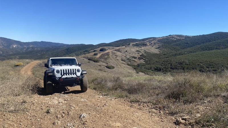
Deer Trail is located in San Francisquito Canyon near Santa Clarita. The Los Angeles Aqueduct transports water through the canyon. Two hydroelectric power plants have been producing electricity for Los Angeles since 1917. On March 12th, 1928, the canyon experienced a terrible tragedy when the St. Francis Dam collapsed, claiming the lives of over 400 people. The tragedy is the second-greatest loss of life in California's history, following the 1906 San Francisco Earthquake. The site of the disaster is registered as California Historical Landmark #919. The landmark is located on the grounds of Powerhouse No. 2 near the trail's east end.
The point-to-point trail is accessible from the West via City Highline Road and from the East via Del Sur Ridge. It consists of rough dirt and gravel, with several washed-out areas and exposed rock. A series of moderate hill climbs and descents require high clearance and 4WD. While the trail is rated as a black diamond, it's a relatively easy ride if you pay attention and choose appropriate lines. There is no camping on this trail.
Updated: 03/03/2024
Odessa Doran Scenic Loop Lower
Barstow, California
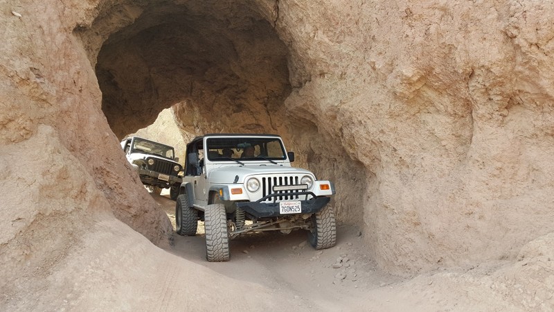
Odessa Doran Scenic Loop Lower is a popular camping and hangout area. Nestled in the hills of Calico, the lower part of Odessa and Doran Scenic Loop is an ideal location for taking the family out camping, exploring, and shooting. The area is RV and 5th-Wheel friendly. The area has lots of natural wonders, including arches, red rock canyons, slot canyons, and mines. The area's offroad trails range from easy overland tracks to extreme rock crawling. There is something for everyone in his area, making this the perfect basecamp for your adventures.
Updated: 03/25/2025
Black Rock Canyon
Inyokern, California
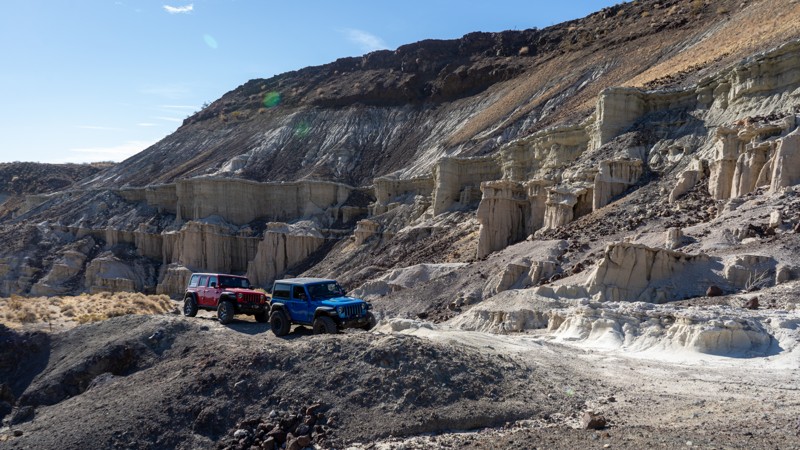
Located in Red Rock Canyon State Park, the Black Rock Canyon offroad trail takes you through striking badlands of dried mud and rugged, reddish-black lava rock canyons—an experience you won't forget. The wheeling is adventurous, but the otherworldly landscape offers a quiet sense of inspiration. Once you conquer its namesake obstacle, "Black Rock," a deep sense of accomplishment will set in, leaving you eager to push forward and carve new trails.
Updated: 07/03/2023
2S10 Glass Flow and Obsidian Dome
Mammoth Lakes, California
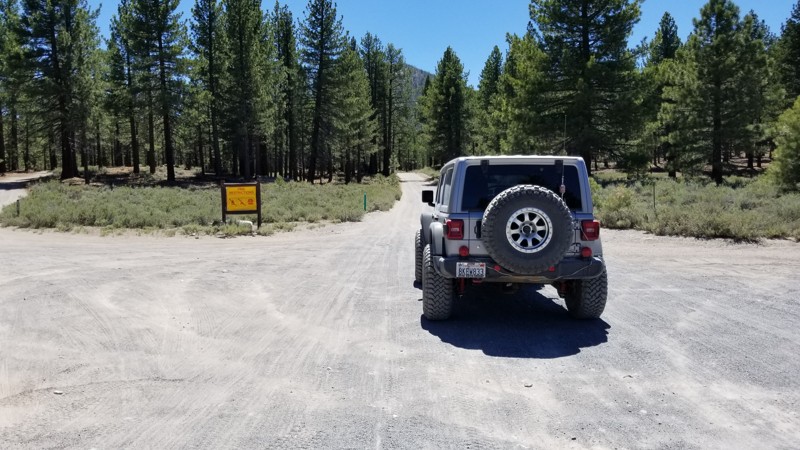
In the forest of Mammoth, California is an abundance of trails that many don't know about. Such trails are 2S10 Glass Flow Road and part of Obsidian Dome, that make a great place to get out of the city and just relax. The area is full of dense lush forest and several volcano calderas that, when last erupted, spewed their lava into deep snow creating what is known as Obsidian or lava that has turned into glass. This amazing and shinny rock is something cool to see.
On top of the amazing scenic beauty that overlanders dream of, the area has a lot of dispersed camping and an improved campground for people that would like some amenities.
Now the trails in the area make for some great adventures, including trail riding and hiking.
So whether you are just wanting to get away and go camping for the weekend or you want to get out and check out some amazing natural scenic beauty, think no further than 2S10 near June Lake in Mammoth, California.
Updated: 05/27/2024
17S06 - Skye Valley Road
Pine Valley, California
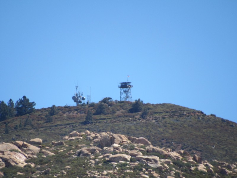
Skye Valley Road is a connector trail between Corte Madera Road and Corral Canyon Road that forms a 18-mile loop through Cleveland National Forest. To the north of the road is Cleveland National Forest and to the south is Hauser Wilderness. Mexico is only 8 miles south of the road. The highlights of this short road are the magnificent views of Los Pinos Mountain to the north and the massive Hauser Canyon to the south. Along with this road, the 18-mile loop consists of the following additional roads and trails:
16S17 - Los Pinos Road
17S04 - Corral Canyon Road
4E03 - Corte Madera Road
4E03 - Espinosa Trail
Updated: 12/29/2023
Aiken Mine Road
Baker, California
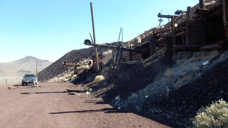
The Mojave National Preserve (MNP) was established in 1994 and at 1,542,776 acres it is the third-largest National Park. The areas designated as Wilderness restrict all vehicles from remaining in a natural state by minimizing human impact. Aiken Mine Road supported the transportation of cinder from the Aiken Cinder Mine and now navigates a narrow corridor between the designated Wilderness and leads you to some of the most interesting and memorable destinations in the Preserve. The destinations include the Lava Tube, which allows you to hike underground in the tube, the huge abandoned Aiken Cinder Mine, and one of the world's largest and most dense joshua tree forests.
In 1990, the Aiken Cinder Mine operations were closed, and the equipment was left in place, much of which you can see today. The National Park Service treats the mines as another chapter in the Preserve's history with no plans to remove the remnants.
In addition to the destinations, Aiken Mine Road passes dramatic volcanic cinder cones, and you will get up close to extensive black basalt lava flows.
An easy road for any skill level, but a 4-wheel drive is recommended.
Pets are welcome in the MNP but must be kept on a leash per the Pet Guidlines.
Updated: 10/15/2024
Cadiz Road
Freda, California
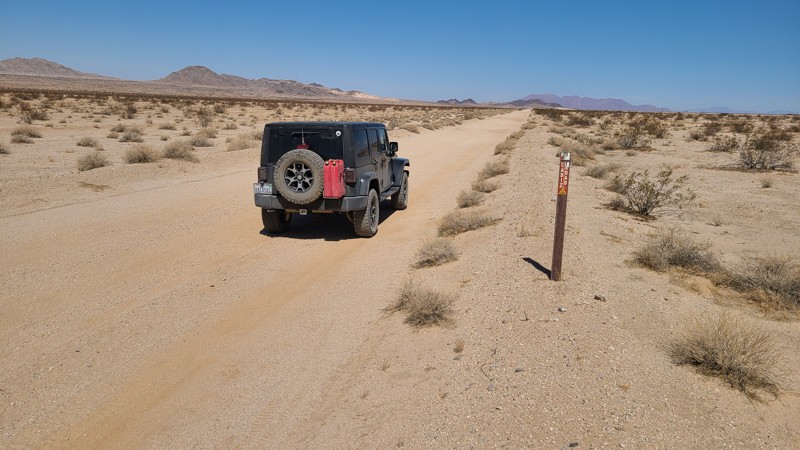
Cadiz Road hugs the Arizona California Railroad as it passes between the Cadiz Dunes Wilderness and the Old Women's Wilderness, ending at the famous Route 66 highway. Creosote bushes dot the surrounding Mojave Desert, and occasional crossing washes with their underground water allow lines of green trees to survive. Keeping the drive interesting are several abandoned mines and other artifacts to explore. The road is wide and flat, and its sandy surface is graded flat. As this is BLM-managed land, the flat desert floor provides good dispersed camping locations along the way.
Updated: 03/26/2024
Brannigan Mine Road
Baker, California
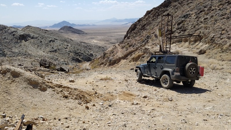
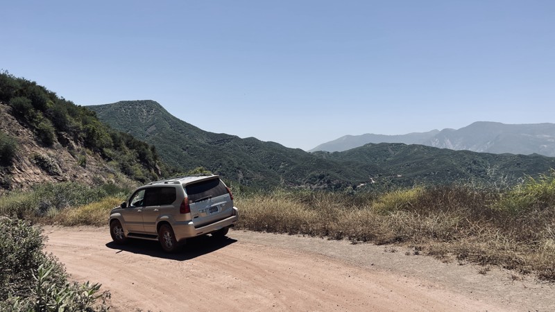
Brannigan Mine Road is in the western corner of the 1,542,776 acres Mojave National Preserve which leads to its namesake, Brannigan Mine, a gold mine that operated in the 1930s. While the start of the road is not far from fast-food restaurants and the 18-wheelers of I-15, it already feels isolated and remote. Most of the road is a soft, easy glide through the sandy desert with the Old Dad Mountains in the distance looming larger every minute. Once in the foothills, you will enjoy views to the west of a Mojave Wilderness a pristine desert protected to remain in a natural state by minimizing human impact. A climb into the foothills, you will come upon the Brannigan Mine Camp, where its original cabins and have been repaired and preserved by "Adopt-a-Cabin" volunteers and are open to view. Still standing are many mining structures used to extract and process the gold ore and numerous mine shafts. While all the mine openings are now safely closed with steel gates, large openings in the gate allow you to peer down the tunnels carved from solid rock and often disappearing into the far darkness.
Updated: 05/20/2026
Dough Flat Road
Fillmore, California
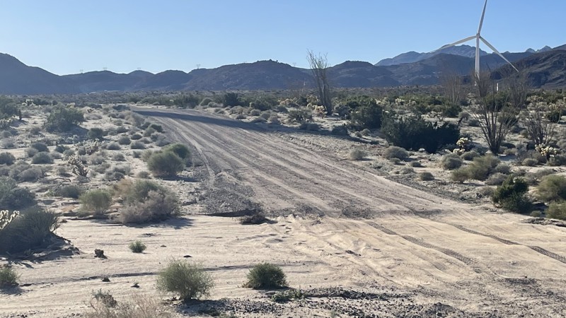
Dough Flat Road, formerly Squaw Flat Road, is an easy 10-mile in-and-out dirt trail through the picturesque Topatopa Mountains within the stunning Los Padres National Forest. This trail traverses the Sespe Condor Sanctuary, necessitating heightened caution should you chance upon a California condor, a species perilously close to extinction.
For hiking enthusiasts, parking at the Dough Flat Trailhe offers access to the Alder Creek Trail at the end of FR 6N16.2. Camping is strictly prohibited along 6N16:1 and 6N16:2.
Updated: 10/15/2024
Dos Cabezas Road
Ocotillo, California
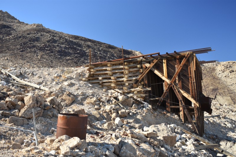
Dos Cabezas Road is an easy, sandy track near Ocotillo that leads into the lower part of Anza Borrego. The road is well maintained because it provides access to the wind turbines scattered along the trail. Any 2WD vehicle with moderate ground clearance can manage, although conditions may change after rain. The most challenging portion of this trail is a small hill, which is easily conquered by any vehicle. The trail leads to various other trails in the area to explore. Dispersed camping is allowed throughout Anza Borrego. Several trailside campsites are large enough for 2-3 vehicles.
Updated: 09/24/2024
Queen of Sheba Mine - Death Valley National Park
Furnace Creek, California
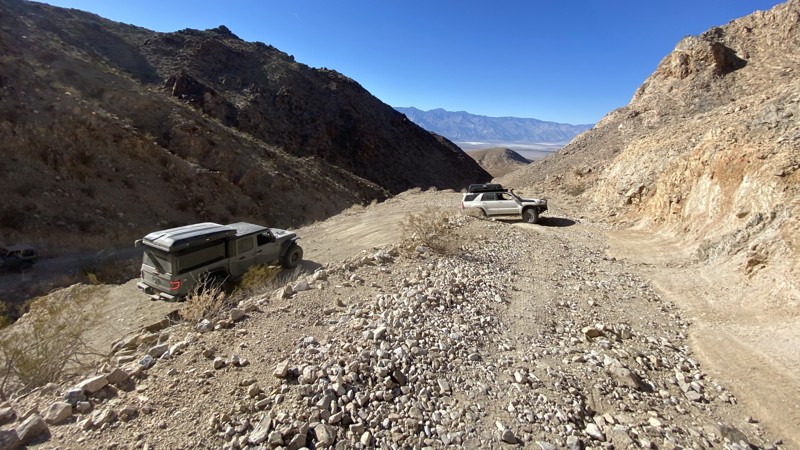
This easy 4x4 route to the Queen of Sheba Mine follows the original haul road and was in limited commercial use as recently as the 1970's. Total production of the Queen of Sheba has reportedly been 5,000,000 lbs. of lead, 100,000 ozs. of silver, 1,500 ozs. of gold, and 146,000 lbs. of copper. There are extensive mine ruins, and several 2 track trails to explore around the Queen of Sheba Mine. The town and camp of Carbonite sprang up around 1900 near the Carbonite Mine site which is a short distance away. There are no ruins of the town visible.
Updated: 03/09/2026
Lippincott Pass
Teakettle Junction, California
Lippincott Pass is an iconic trail in the heart of Death Valley that takes you from Saline Valley to the even more iconic destination of Racetrack Playa. The trail is incessantly rocky and jarring. Combine that with the steep shelf road, and you are sure to give your passenger an uneasy stomach. The beginning of the road passes through one deep wash that requires careful line choice and low range. Then, multiple partial washouts bring you even closer to the edge coming through the pass. Between the narrow road and the rocks, it’s best to be accompanied by a functioning 4WD system and an experienced driver. There are no campsites along Lippincott Pass.

Updated: 03/19/2025
Moffat Ranch Road
Lone Pine, California
In the deserts of California sits an area famous for the overland crowds. Alabama Hills, a complex network of trails, is full of unique camping in Southern California. This trail, Moffat Ranch Road, is the back way in from the northside of the area. Even though this trail isn't as desirable as Movie Road, this is a great way to exit the area to get the full effect when visiting. So the next time you are exploring the area, don't forget to Moffat Ranch Road and make a day out of your trip.
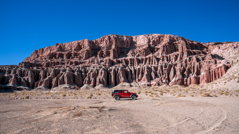
Updated: 03/05/2025
Iron Canyon
Cantil, California
Red Rock Canyon State Park in California is a stunning desert landscape in the Mojave Desert. It is known for its dramatic red and tan sandstone cliffs, rugged rock formations, and scenic desert vistas. Iron Canyon is one of several dirt roads traversing this geologically rich park, offering visitors a glimpse into ancient landscapes shaped by millions of years of erosion. If traveling the 14 Freeway during sunrise or sunset, this short trail is sure to reward you with a mesmerizing experience as the canyon’s colors intensify, creating an otherworldly atmosphere.
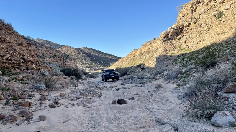
Updated: 03/10/2026
Jojoba Wash
Dos Cabezas, California
Jojoba Wash is a challenging trail in the southern portion of Anza Borrego Desert State Park. Most of the trail is an easy dirt and sand track that could be managed in 2WD. However, one tricky hill climb requires 4WD and bumps this trail rating to Moderate. The connecting Goat Canyon is rated Difficult due to a steep, heavily rutted hill climb. However, Goat Canyon is optional. Jojoba Wash is a loop. You can exit the way you came.
Anza Borrego Desert State Park allows dispersed camping. There are ample opportunities throughout Jojoba Wash. Much of Jojoba Wash is open, sandy, and perfect for camping.
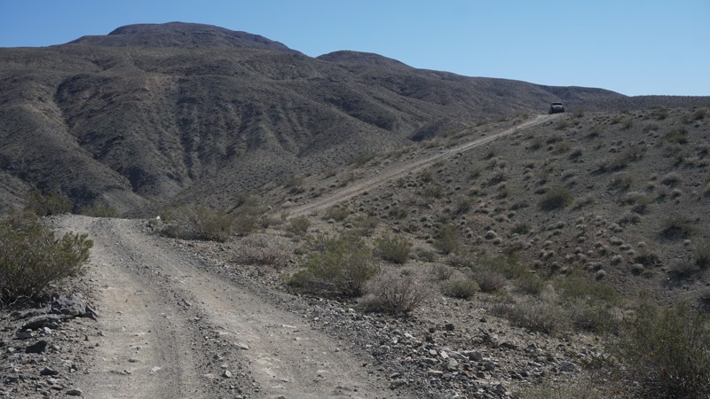
Updated: 04/22/2026
Fish Canyon Escape Trail
Valley Wells, California
The Fish Canyon Escape Trail is a moderate 4x4 trail twisting, turning and climbing it's way through the hills as it connects Panamint Valley and Searles Valley at Trona, California.
This moderate trail includes some steep and narrow sections on the Panamint Valley side and smooth sand washes on the Searles Valley side as it travels through Goff Canyon.
Wheelers who don't mind the steep hills and are looking to enjoy the valley views will like this trail while rock crawlers will find it a necessary escape route from the more technical Isham Canyon.
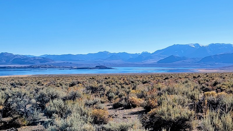
Updated: 06/03/2025
Dobie Meadows Road
Pizona, California
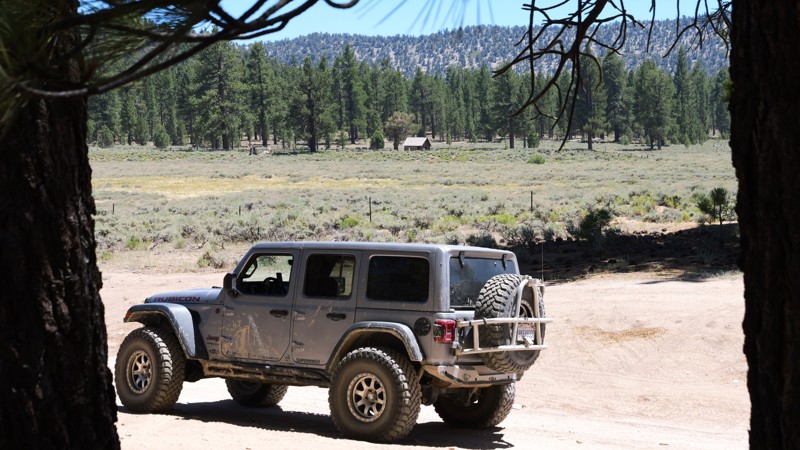
Dobie Meadows Road travels on the edge of the Inyo National Forest and the Granite Mountain Wilderness Area. As you travel around Mono Lake, the arid landscape gives way to the majestic Sierra Nevada Mountain Range. The northwest part of the trail offers the best views of the lake. Mono Lake is over 1 million years old and has amazing tufa towers made of minerals that rise from the ground.
This is a well-maintained gravel road. There is a small river crossing near the trail's western end, but it's only about a foot deep. Any high-clearance vehicle can handle the crossing, so 4WD is not needed. Always check the road conditions before you go, as parts of the trail can get washed away and sandy after a heavy rain. This trail does travel through an open range, so beware of horses and cattle on the road.
While the trail is on BLM land, no campsites were noted.
One great trail that meets up with this road is Crooked Meadows Road at the southeast end.
Updated: 07/21/2025
Van Dusen Creek
Minnelusa, California
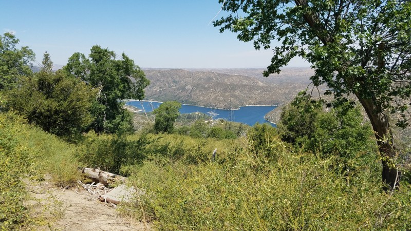
Tucked deep in the heart of the San Bernardino National Forest, 3N07, Van Dusen Creek, is the kind of gem that turns a casual trip into a full-on adventure. This dirt road winds through towering pine forests and wide-open alpine meadows, delivering panoramic views and crisp mountain air that instantly hits reset on your soul. Just minutes from Big Bear, it’s a backcountry escape that feels miles from civilization, quiet, untouched, and absolutely stunning. But the real magic? It’s what waits at the end. Climbers Camp is a peaceful, pine-shaded haven that leads straight to the legendary Coyote Crag, a dramatic granite wall known across Southern California for epic climbs and surreal scenery. Pair that with expansive dispersed camping, golden hour light pouring through the trees and glissading off the grass-filled valley, and a connection to the thrilling 3N07A - The Squeeze, and you’ve got a trail that doesn’t just impress, it leaves a lasting mark. If you’re searching for that one spot that delivers beauty, adventure, and total escape, this is it.
Updated: 11/19/2023
2N03 Burnt Mill Road
Hesperia, California
2N03 Burnt Mill Road is in the 823,000 acres San Bernardino National Forest just south of Silverwood Lake and only a 16-mile drive from I-15. To trail follows above its namesake, Burnt Mill Canyon, to its east. This mountain road takes you from the lower elevations dominated by oak woodland to the land of the confers and the stately tall pine tree forest, where the deep shade and higher altitude bring quick relief from the summer heat below. While eventually leading to the paved Cedarpines Park community, along the way, the trail provides a gauntlet of technical driving challenges for those looking to test their offroading skills and vehicles.
Updated: 03/25/2025
Chloride Cliff Road
Beatty, California
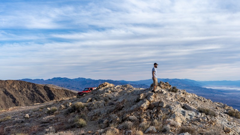
Situated on the east side of Death Valley National Park, within the Funeral Range Mountains, lies one of the oldest mines in the entire park, and the highest point gives unparalleled views as it overlooks Badwater Valley. The original mine was discovered by August J. Franklin in 1871. The story is told that he picked up a rock to crown a rattlesnake and found silver ore. He founded the Chloride Cliff mining company with the first claims he staked. The mine could not produce enough revenue and mostly stopped operations until the Bull Frog mining boom in 1905. With towns like Rhyolite nearby to help support the mine, a permanent camp was established to ramp up operations and was called Chloride City. Not much remains today except for adits, tailing piles, and the grave of James McKay, an unknown man with no known story to tell. It's the perfect trail to add to your Death Valley list.
Updated: 12/04/2025
Southern Pacific Road
Alray, California
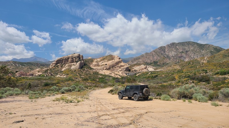
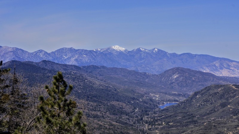
3N53, Southern Pacific Road, is in the 823,000-acre San Bernardino National Forest north of Lytle Creek. The trail moves west to east, next to portions of the Southern Pacific Railroad tracks, and passes through the stunning Rock Candy Mountains. These striking sandstone formations are the remnants of ancient oceans heaved up at an angle over the millennia, revealing a beautiful sandstone landscape with walls reaching 200 feet tall that you can drive right through. The road is an easy trail with no obstacles and is excellent for beginning off-roaders. While the National Forest permits dispersed camping, there are no appropriate locations along this trail to spend the night, and only gas stoves are allowed. The trail's end offers a tree-covered day-use area near what used to be the Summit Trail Station, marked with a historical landmark.
Updated: 03/25/2025
Opal Trail
Cantil, California
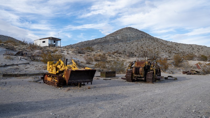
Opal Trail is aptly named as at the end of the trail are two famous opal mines, Nowak's Opal Mine and Barnett's Opals. The very light-colored terrain in this canyon consists of volcanic ash. It has yielded many opals over the years. Back in the day, Barnett's Opals charged $2 a head for a day pass to mine, and you could keep whatever you found. Currently, rock collecting is not allowed within the Red Rock Canyon State Park. It is said that among the Barnetts' luminous treasures found is the "Mojave Flame," an opal that glows like coal in a barbecue pit. In 1975, the Opal Miners Association valued the stone at over $50,000. All that remains now are dilapidated buildings and the equipment used to mine.
Updated: 12/17/2024
2N86 Kidd Creek
Big Bear City, California
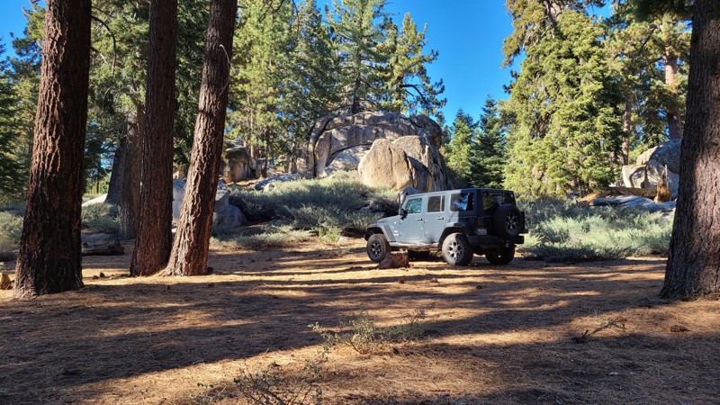
2N86 Kidd Creek is in the 823,000-acre San Bernardino National Forest just south and above Big Bear Lake and travels through some of the most beautiful parts of the Big Bear Mountains. Over its 1.7-mile length, Kidd Creek has many spots to pull over and enjoy the peaceful solitude of this lush forest. The entire road length is enclosed by a conifer forest with tall Ponderosa Pine sheltering the way and accented by the many inspiring granite rock formations for which Big Bear is known. The road leads to Yellow Post Campsite #30, which is bordered by more majestic granite formations.
Updated: 07/12/2024
2N34 Tunnel Two
Twin Peaks, California
2N34 Tunnel Two is in the beautiful San Bernardino National Forest. This trail's attraction is its access to miles of OHV designated trails to the north. It is the route of choice if you wish to run 2N37 Miller Canyon OHV from its east end or if you want to access a more difficult trail in 2N33 Pilot Rock. There are thousands of miles of roads and trails on public lands that are appropriate and accessible for Off-Highway Vehicles (OHV's) use. OHV's are a fun and exciting way to experience America's natural treasures. These vehicles are not street legal and must display a Green or Red Sticker issued by the State. Unless otherwise posted, normal sized vehicles may use the OHV trails also. To the west around Waypoint 4, there are some beautiful views of Lake Silverwood.

Upgrade your Membership
Unlock all of the details on every Trail Guide and Scout Route.
Start a 7-day Free TrialBrowse Trails in California by City
Browse every California city with offroad trail guides.
Community
Partners

