




By clicking "ACCEPT", you agree to be the terms and conditions of each policy linked to above. You also agree to the storing of cookies on your device to facilitate the operation and functionality of our site, enhance and customize your user experience, and to analyze how our site is used.
California Off-Road Trails
415
Total Trail Guides 392

4106
Detailed Waypoints 524
Try a Free 7-Day Trial and unlock it all
Start a Free Trial Most Recent Trail Reviews
Rated 5/5
Open
Visited: 09/19/2026
Great beginner trail here for those looking to try out some rockier sections. Starting to trend a little closer to a rating of 4, but still a 3 I’d say

R
Rob
Rated 5/5
Open
Visited: 09/19/2026
I entered this trail from Freeway Ridge 4WD trail (31E77) and ran Black Gulch Jeep Trail up to Rancheria Road, turned around, and ran Black Gulch Jeep Trail all the way down to Keyesville Road in Lake...



Daniel Macioce
Rated 4/5
Open
Visited: 09/19/2026
Took out the vstrom 800de today and this thing was tough for someone like me who is pretty new to offroading motorcycles. I ended up turning around about half way because I wasn't sure if I would be a...
SK
sean kotrola
No Rating
Open
Visited: 09/19/2026
The trial marked by the app here is very difficult with all the recent deep washouts. Proceed at your own risk if you are by yourself with unmodified rigs. However the bypass is maintained and should ...
TB
Timmy Boby
Rated 5/5
Open
Visited: 09/18/2026
Very friendly fire watch tower volunteers and fantastic 360 degree views up top
R
Rob
Rated 5/5
Open
Visited: 09/18/2026
Great views and an easy drive through. Be sure to take the road up to the fire watch tower
R
Rob
Rated 5/5
Open
Visited: 09/17/2026
ran the trail twice last weekend, this is such a better way to go than 3n16...


Josh Noesser
Official Crew
Rated 5/5
Open
Visited: 09/16/2026
It's been 6 years since I visited this trail. It has seen some wear, but the overall difficulty is about the same, probably a bit higher now, as Waypoint 11 has suffered from traffic. Waypoint 11 ha...

Robert
Official Crew
Rated 5/5
Open
Visited: 09/16/2026
Started off from polique canyon at way point 13 and headed east. Its a great trail for most of it with scenic views. A good amount mud puddles that were fun as hell to drive through. Some I decided to...


VM
Victor Manuel Garcia
Rated 5/5
Open
Visited: 09/16/2026
Used this trail to get to Holcomb valley. Super easy and a nice drive, I can see how in the winter it can be a bit more challenging with rain and snow.
VM
Victor Manuel Garcia
No Rating
Open
Visited: 09/16/2026
Mostly easy, but heading NE there's a rock step down just a few miles in that *requires* high clearance. Banged the rear end of my 4runner despite having a 3" lift and 33" tires. A stock SUV would alm...



Carlos H.
Rated 5/5
Open
Visited: 09/15/2026
It's been over 4 years since I was last on this trail, and I was very happy to see that the old car was still there. Some research suggests that it is a 1939 Plymouth Road King 5-window coupe.


Robert
Official Crew
Rated 5/5
Open
Visited: 09/14/2026
A fun little detour off Burns Canyon. I ran this alone and stopped a few times to spot; I also used my grill camera in several places. I brushed my sliders a couple times, but no real issues. Definite...
EB
Ed Boyd
Rated 5/5
Open
Visited: 09/13/2026
easy perfect beginner off roader trail with great views and water crossing during the winter.



Dex Offroad
Rated 5/5
Open
Visited: 09/12/2026
Fenders Ferry kept giving me reasons to slow down and enjoy the ride. I loved winding along mountain ridges, following creeks, and catching glimpses of Shasta Lake's fingers tucked between the hills. ...



Rose Meirs
Official Crew
Rated 5/5
Open
Visited: 09/11/2026
super easy trail over looking the valley and 15fwy. only bad thing is that its super windy.

Dex Offroad
No Rating
Partially Open
Visited: 09/09/2026
Although you can cross the creek from Fordyce if you want, Committee Road is still closed back to the I80, so this has no exit, and you'll be forced back onto Fordyce.

Ryan Boudreau
Official Crew
No Rating
Temporary Closure
Visited: 09/09/2026
Road is still closed. I thought i read somewhere an expected 2030 opening, but can't confirm that info.
Ryan Boudreau
Official Crew
Rated 5/5
Open
Visited: 09/09/2026
This is an awesome trail . This trail is moderate with a few obstacles to make it fun. It also has incredible scenic views with a little bit of shelf roads. You can watch the full video on my YouTube ...


Dex Offroad
Rated 5/5
Open
Visited: 09/07/2026
Pretty spot on with the rating, was a little tough today with the rain but made it through in my 2023 Gladiator Overland with 2.5” lift and 35s with autolynx sway disconnects.


CT
Christopher Tanton

Shaan Heugly
Rated 5/5
Open
Visited: 09/06/2026
Drove reverse from what’s listed to the jasper trail. This is a easy but enjoyable trail with plenty of places to camp at the end of the
Shaan Heugly
Rated 5/5
Open
Visited: 09/06/2026
Bit washed near the top but nothing difficult to navigate. I headed from jasper to the highway and near the highway it did narrow. I got through with my Tacoma but there are a few pinch points I could...
Shaan Heugly
Rated 5/5
Open
Visited: 09/06/2026
Mostly easy trail but when going south to north, I did need to use 4Lo on some of the inclines with a loaded Tacoma
Shaan Heugly
Rated 4/5
Open
Visited: 09/05/2026
It had been five years since I last drove this trail. The long, annoying stretches of moguls are still there, and water erosion has added a touch more difficulty in places. It was nice to see the old ...


Robert
Official Crew
Rated 4/5
Open
Visited: 09/05/2026
This is a nice trail with great views for any 4WD with ground clearance as some sections have ruts that are 12+ inches deep. Things were very dry on my visit, so airing down the tires helped to smooth...


SG
Steve Graham
Rated 3/5
Open
Visited: 09/05/2026
From waypoint 7 to 10 the water damage is pretty bad. Waypoint 13-16 it is rocky. Nothing crazy but a few spots where patience and the right line will go a long way. Good clearance and 4x4 recommended
N
Noah
Rated 5/5
Open
Visited: 09/05/2026
Easy trail with an awesome view at the end. There were three lookouts in the fire tower and each one was super friendly and informative. Must see trail!


N
Noah
Rated 5/5
Open
Visited: 09/05/2026
fun easy trail, Butler Peak lookout is the highlight imo
N
Noah
Rated 5/5
Open
Visited: 09/04/2026
Trail was very well maintained. Thanks for the Fresno 4x4 club. It was very cold at night, into the 30s. We were on the trail two nights, 3 days and two nights at voyager rock due to a breakdown fr...
JD
John Drago
No Rating
Open
Visited: 09/04/2026
Beautiful area, but the trail itself wasn’t very interesting. I’d rate it around a 3/10, with a couple of optional sections that might push a 4.
There’s tons of dispersed camping throughout the area,...


Ryan Smith
Rated 5/5
Open
Visited: 09/01/2026
awesome trail with a lot of water crossings. just be careful of sxs and bikes since its a OHV area.

Dex Offroad
Rated 5/5
Open
Visited: 09/01/2026
Super easy trail and you can over look the high desert. Trail ends at an awesome view point.

Dex Offroad
Dex Offroad
Rated 5/5
Open
Visited: 08/31/2026
This trail is much harder than it used to be. It’s just as breathtakingly beautiful as ever. You are on your own out there. Fuel, parts, spare tire. It’s days from help if you need it so go prepared. ...

CP
Christopher Pepin
No Rating
Open
Visited: 08/30/2026
Ran this trail today and had fun. Easy trail with great views. I wouldn’t hesitate to take an experienced driver in a stock jeep up this. There are lots of trails in this area and way to get off the m...

CP
Christopher Pepin
No Rating
Open
Visited: 08/29/2026
Trail was in good shape, a little less sand makes the boulders a little bigger. People have made the bypass around the sluice a little bit longer than it used to be you miss a lot of the good rocks. O...
C
Campbell
Rated 5/5
Open
Visited: 08/29/2026
An often overlooked and amazing trail. It’s about the length and difficulty of the rubicon if you don’t hit any of the bypasses on the rubicon. We had a group of 3 lj on 40s, a jku on 42s, and an Xj o...
CP
Christopher Pepin
Rated 4/5
Open
Visited: 08/27/2026
This is most definitely a hard trail. Is the entire thing hard? Not at all. The western 7 miles are a hard packed dirt road. Then you run into 3 straight, large boulder obstacles where its clear many ...


Ryan Boudreau
Official Crew
Rated 4/5
Open
Visited: 08/27/2026
Easy drive with beautiful views and . . . Buck Rock! Lots of camping south of Buck Rock, but camping north of the Rock isn't as plentiful. There are a few others on the north, but there's one here: 36...


Carlos H.
Rated 5/5
Open
Visited: 08/26/2026
I really enjoyed this road. It's super scenic with the sierra's in the background, the white beaches, and the columns are really cool. The road is not anything challenging with a high clearance vehicl...


Ryan Boudreau
Official Crew
Rated 4/5
Open
Visited: 08/25/2026
Fun area. The hot springs are pretty popular and well-known, and because they are small, you'd better hope you are one of the first people there that day if you want to get in. The route is easy, exce...


Ryan Boudreau
Official Crew
Rated 4/5
Open
Visited: 08/25/2026
I liked this trail a lot, but it's not quite a 5-star trail for me. I feel like it's a little overhyped. Is it scenic? Absolutely! Is there tons of great camping? Totally! Is it a crazy busy? You Bet!...


Ryan Boudreau
Official Crew
Rated 4/5
Open
Visited: 08/25/2026
Road to the hot springs parking area is easy. There are regular passenger cars there. The hike is easy too. The tub itself is super scenic, but know that they are not hidden gems by any means and we'l...

Ryan Boudreau
Official Crew
Rated 3/5
Open
Visited: 08/25/2026
It's a simple road, but definitely very scenic and really only used to get from Convict to Laurel Lakes or Mammoth. Road is suitable for anything with decent ground clearance.


Ryan Boudreau
Official Crew
Rated 2/5
Open
Visited: 08/25/2026
Simple dirt road used to access other types of recreation. Many signs remind you that you aren't allowed to camp along it except at the campground.


Ryan Boudreau
Official Crew
Rated 3/5
Open
Visited: 08/23/2026
Simple, straightforward dirt road used for fishing access.


Ryan Boudreau
Official Crew
Rated 5/5
Open
Visited: 08/23/2026
Amazing views at the top of this trail. Erosion looks to be making this trail harder than it probably originally was. Most of the hardest spots are getting bypasses created around them. A short, st...



Dan Jurgella
Rated 5/5
Open
Visited: 08/23/2026
Toad Lake Road 40N64 was a long, slow, and wonderfully remote drive into the Trinity Divide. The changing mix of old pavement, dirt, loose rock and deep ruts kept the journey interesting, while forest...


Rose Meirs
Official Crew
Rated 5/5
Open
Visited: 08/23/2026
North Fork 41N53 was a fun backcountry drive through the forest west of Mount Shasta. Early in the trip, a wrecked motorhome beside the road provides unforgettable confirmation that you are on the rig...


Rose Meirs
Official Crew
Most Popular

Updated: 10/15/2024
Alvord Mountain Road CL8145
Manix, California
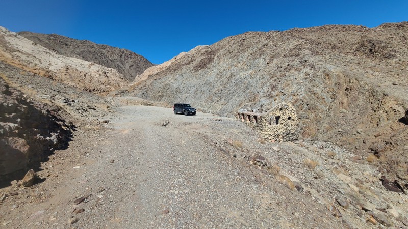
Beginning on the sandy Mojave Desert floor, Alvord Mountain Road soon transitions up the rocky side of Alvord Mountain and arrives at the 120-year-old Alvord Mine. While idle since the early 1950s, the mine shafts and the roof-less stone shelter walls still stand strong. This up-and-back trail is very rough once on the mountain and requires a four-wheel drive with some clearance. Dispersed camping is available along the trail when following the BLM Barstow Field Office guidelines.
Updated: 10/15/2024
Georges Crack
Lucerne Valley, California
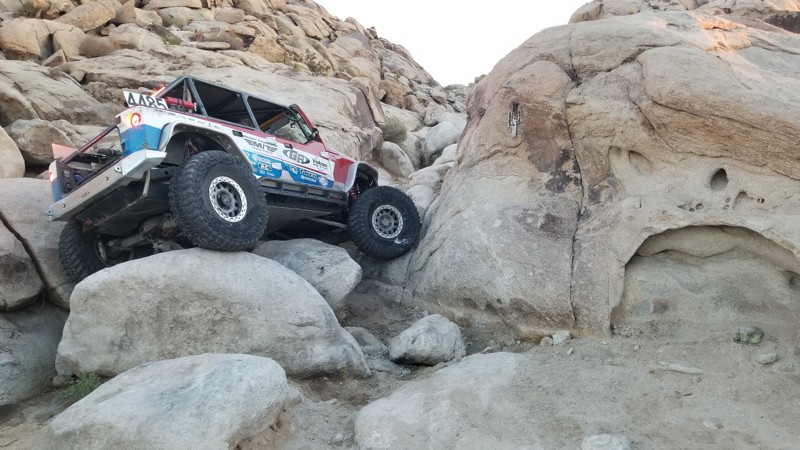
Georges Crack is one of the hardest trails in Cougar Buttes. Near Noessers Nasty Notch, this trail is similar in difficulty but is much shorter since the obstacles are only in the first 30 feet of the trail. This trail is for the extreme rock crawlers looking to push their vehicles to the max. Body damage, breakage, and rollovers are common here. So are you crazy enough?
The trail runs from north to south.
Updated: 10/15/2024
Johnson Valley 4207
Johnson Valley, California
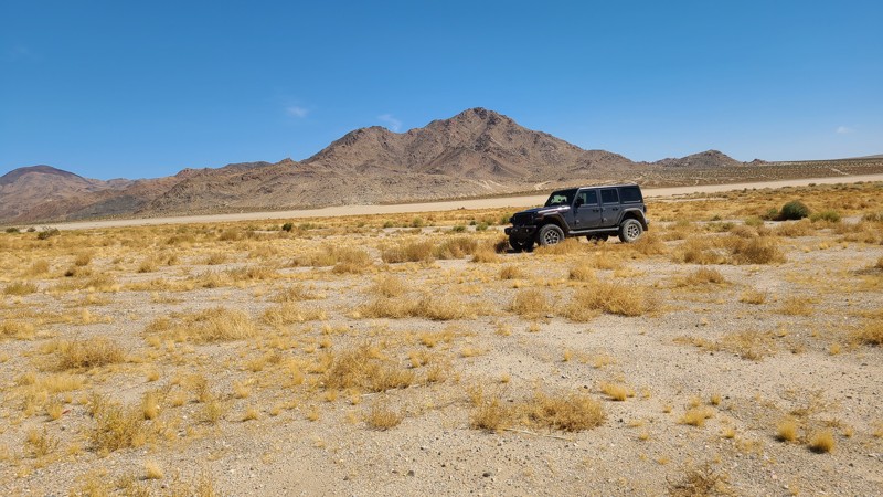
Located in Johnson Valley, JV4207 starts at Highway 247 to reach into the Johnson Valley OHV Area, eventually reaching the edge of Soggy Dry Lake. It travels over the flat desert until reaching a set of rugged hills at the trail's end. The Johnson Valley Shared Use Area will occasionally be off-limits due to military usage, and those borders and off-limit periods can be found on the Johnson Valley OHV website.
Several dispersed campsites are located in the hills at the end of the trail and along the edge of Soggy Dry Lake and can be used when following the Bureau of Land Management Camping Guidelines. Campfires are generally prohibited, and the camper must know the current Bureau of Land Management Campfire Restrictions.
The hills near the trail's end are the only driving challenge due to their ruggedness, steepness, and off-camber cut during the descent, requiring a high clearance four-wheel drive vehicle.
Updated: 08/11/2026
Mesquite Canyon Road
China Lake Acres, California
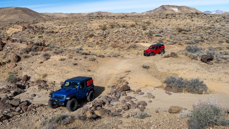
Running north to south through the rugged El Paso Mountains, Mesquite Canyon offers a stunning geological tour of the region. Starting at the northern end, the trail skirts the El Paso Mountain Wilderness Area and Black Mountain, providing excellent views of the desert landscape. As you travel south, the scenery shifts to sculpted sandstone formations in shades of pink and red, creating a striking contrast against the rugged terrain. Toward the southern end, the route opens up to Koehn Lake, a vast dry lakebed shimmering white with mineral-rich salts.
This is a long drive with rough terrain consisting of eroded dirt paths, embedded rocks, and stretches of hardened lava rock. Airing down your tires and having a high-clearance vehicle is strongly recommended. Although the road is rough, there are no major concerns in dry weather. About midway through, a shaded picnic area with a natural spring provides a perfect spot to pause and stretch your legs before continuing.
Due to the uneven terrain, camping options are limited along the route. Less-than-ideal spots are located at the northern and southern ends and offer no shade or privacy. The best spot is located along the southern end, just below an old mine shaft, but it is right on the trail.
For those seeking a remote and scenic offroad adventure, Mesquite Canyon delivers an unforgettable ride through California’s interesting and geologically diverse landscapes.
Updated: 10/15/2024
The Phone Booth Truckhaven
Salton City, California
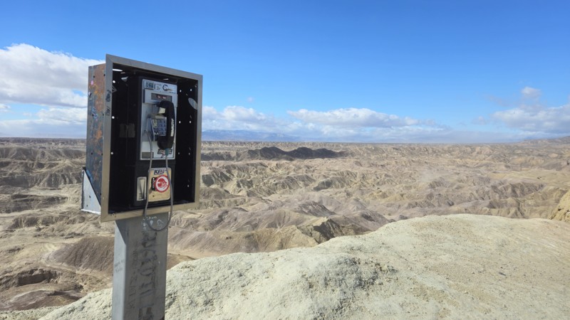
The Phone Booth is one of the many unique attractions in the Truckhaven Hills. Sitting at 300 feet above sea level, this fantastic place to stop is worthwhile when in the area. Once on top of these hills, you are given a fantastic view of the low desert badlands below you. Because Truckhaven is open-roaming, people from all over southern California visit to enjoy life without boundaries and challenge themselves to some of the best offroading in America. Even though you could find an easy trail to the phone booth, the trail provided here offers a unique and exciting challenge as you pass the Basketball Hoop obstacle and head up to the top of the peak, where you find the old pay phone. Because this route is more difficult, 4WD with experience will be required. If this route is too hard, simply back out, and there are more accessible routes on the west and north sides. The trail is not suitable for camping.
Updated: 10/15/2024
Iron Mountain 5841
Johnstons Corner, California
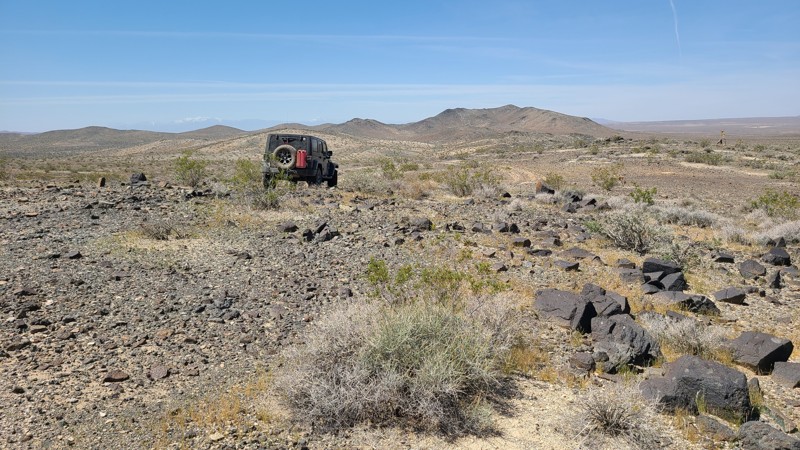
IM5841 offers difficult driving challenges even when bypassing the extreme or even impassible obstacles on the trail. Climbing up the side of the rocky Iron Mountain, the trail from its highest point loops around, traveling back to the northwest into the valley below. The trail descends into a deep wash and is abruptly blocked by a rocky barrier providing the highest level of difficulty, if not impassible. Just before encountering the obstacle, a faint bypass can be found on the north side of the trail leading around the obstacle and back down into the wash that offers its own rocky navigation challenges.
A nice level dispersed campsite is near the start of the trail.
This trail should only be attempted by experienced drivers with high clearance four-wheel drive and appropriate all-terrain tires to deal with the rocky trail.
Updated: 03/25/2025
EP 11
Goler Heights, California
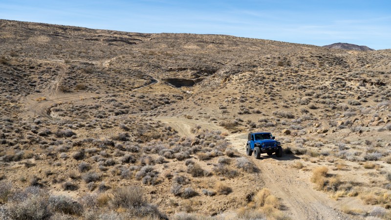
EP 11 is one of the more adventurous trails in the El Paso Mountain area, offering a mix of steep climbs, technical obstacles, and fantastic scenery. The western section features several short but intense hill climbs, where you'll find yourself looking straight up or down as you navigate the rugged terrain. From there, the trail presents optional rock challenges before transitioning into the Mormon Flat area, where narrow, rocky shelf roads require patient driving. Low-range gearing and high clearance are highly recommended for most of the route.
Passengers will appreciate the ever-changing landscape, which ranges from sandy washes to an arch and then to higher-elevation flats and eventually leads into tight canyon sections with dramatic twists and turns.
For those looking to extend their adventure, a few pre-disturbed campsites are available along the route, offering a scenic place to stay under the stars.
Updated: 10/15/2024
Calico Mountain 7634
Yermo, California
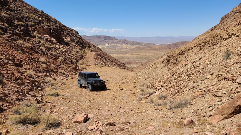
Accessed via Mule Canyon, this 2.5-mile trail follows the sandy desert basin to the north until, at its last 1/2 mile, climbs into a box canyon and dead ends at a perfect camping spot. This ultimate camping getaway has a large plateau-like area that is quiet and sheltered, with room for five or more vehicles. Surrounded on three sides by the easternmost mountain of the Calico Mountain range, the canyon opens to the west, providing a view of the vast desert below.
Updated: 07/28/2026
Corral Hollow OHV Trail
Big Meadow, California
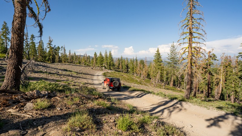
Corral Hollow OHV Trail, marked by segments 7N11, 7N88Y, and 17EV485, offers a scenic and engaging straight-through run off Highway 4 near Liberty Vista Point. The route starts at roughly 6,853 feet and steadily climbs to just over 8,160 feet before winding back down to its end at Highway 4 just six miles north of where it started. This trail favors the adventurous spirit, providing a blend of rugged forest stretches, open ridgelines, and occasional rocky terrain that keeps the drive interesting without being overly technical.
The majority of Corral Hollow OHV Trail is rough dirt, punctuated by embedded rock and shallow ruts. However, the final mile at the northern end, just before arriving back at Highway 4, presents larger boulders that demand low-range gearing, careful tire placement, and some driver finesse. High-clearance four-wheel-drive vehicles are recommended, and while the majority of the trail is approachable for casual off-roaders, moderate experience is suggested for navigating the rockier northern section.
This trail draws a wide range of OHV users as it is open to off-highway vehicles and highway-legal vehicles alike. Full-size or long-wheelbase vehicles beware, this trail does wind through tight pine trees at times, which could cause fender or side damage.
Camping spots are relatively frequent and generally easy to identify in clearings among the trees or on flatter, open areas. During summer weekends, the area sees increased visitor traffic as nearby campgrounds fill and families, groups, and day travelers explore the trail. Snow and seasonal closures typically render the route inaccessible in winter, at which point it becomes a playground for snowmobilers and cross-country skiers.
Trailhead signage marks both ends of Corral Hollow OHV Trail, signaling the start of a rewarding drive that combines forest quiet, open vistas, and just enough challenge to keep things memorable.
Updated: 10/15/2024
East Loop Trail
El Mirage, California
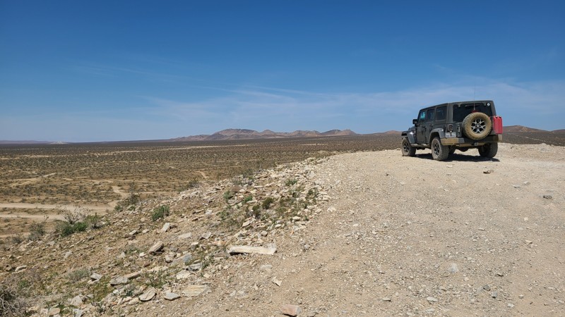
East Loop Trail is part of the Burea of Land Management's 27,000-acre El Mirage OHV Recreation Area. Located on the area's eastern side, the loop moves up, down, and over the Shadow Mountain foothills and Twin Hills area, reaching the fenced eastern border of the OHVA and eventually looping back to end at one of the OHVA's improved camping areas. The road often presents a rugged rocky path through the rolling hills that would be enjoyed by beginning offroaders needing only a two-wheel drive but a high clearance vehicle. As always, in the OHVA, there are many intersecting and mostly unmarked trails to explore along the way.
While the improved campsites within the recreation area are located along Mountain View Road, East Loop offers solitude and many dispersed camping opportunities.
Updated: 04/22/2026
Palen Pass Road
Eagle Mountain, California
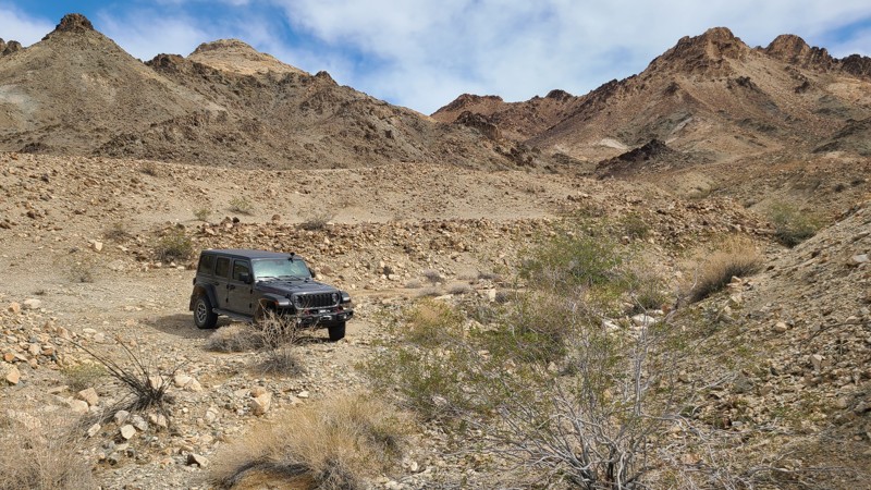
Palen Pass Road crosses over the gently rising desert bajadas of the historical WWII Palen Pass Maneuver Area, then, while within the Pale-McCoy Wilderness, carves through beautifully rugged Palen Pass before dropping into the massive alluvial fans formed by the Palen and Little Maria Mountains. Along with the history of the area, one will enjoy spectacular scenery, stone building ruins, abandoned mines and machinery, and several intersecting trails to explore. These trails include the Palen Dunes Road and the Arlington Mine/Patton’s Cabin Roads.
The Palen Pass Maneuver Area was part of the 12 million-acre WWII Desert Training Center and hosted thousands of soldiers manning guns, tanks, artillery, and airplanes that rumbled through this area from 1942-1944. A monument to these fighting men is found at the beginning of the trail. The massive 11,000-acre Camp Coxcomb housed the soldiers immediately across the Highway 177 trailhead.
BLM rates this trail as “MOST DIFFICULT,” which is a rating designed for expert riders and characterized by:
- Steep grades and narrow paths.
- Rough or loose tread surfaces.
- Substantial obstacles like rocks, ledges, and drop-offs.
- Potential for difficult navigation.
A high clearance 4x4 and an experienced driver are required to manage this trail. The trail begins in deep sand, and the road becomes a surface of six-inch-sized loose rock when climbing into Palen Pass, and transitions to hardpack over the east portion of the trail. At approximately 11.2 miles from the trailhead, at coordinates N33.91503°, W115.06504°, drivers can easily mistake the trail direction by following the many tire tracks leading to the right of the actual trail, which will lead down an extremely narrow, impassable path. The actual trail is straight ahead and somewhat disguised as a steep rock face, and is one of the most difficult sections of the trail.
Several dispersed camping locations can be found mainly in the Palen Pass area at the mine camps. Even in the desert, campfires may be prohibited. It is the responsibility of campers to know the campfire restrictions. Campfire restriction information can be found at the BLM Palm Springs South Coast Field Office and the Cal Fire websites, along with instructions to obtain an online campfire permit.
This is a very remote area with no cell service, and drivers should, before leaving, communicate their travel plans to family and friends, should carry adequate water, and be equipped for self-rescue.
Updated: 08/08/2026
First Street
Foresta, California
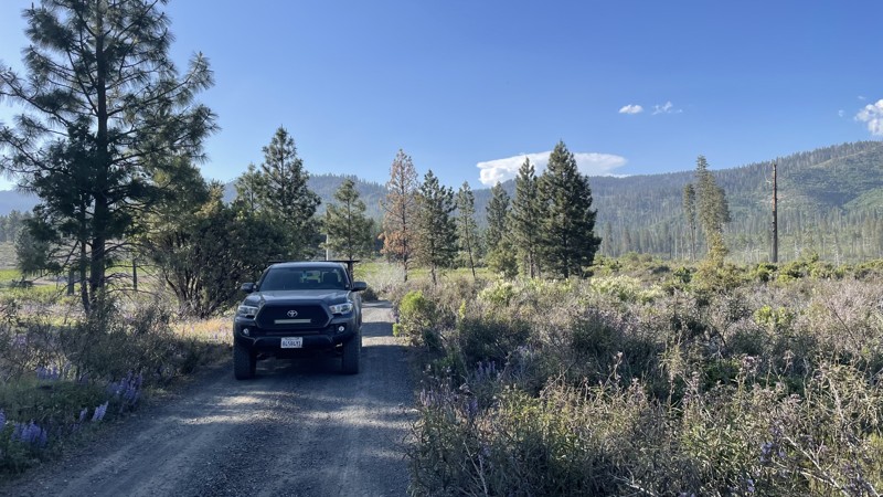
First Street is a well-maintained gravel and dirt road in Yosemite National Park that connects Old Coulterville Yosemite Road to the pavement. The road is easily travelable in 2WD and provides views of beautiful lavender plants, and the dramatic mountains in Yosemite National Park, making it a perfect start or end for your trip on Old Coulterville Road. The road takes you into the town of Foresta, just a few houses with no stores or gas stations. Camping is not allowed anywhere along the road.

Updated: 01/15/2019
17N37 - Little Round Mountain Road
Upper Lake, California
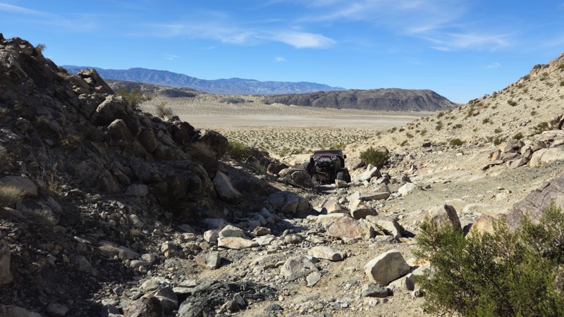
Little Round Mountain Road goes only 1.5 miles before narrowing to single track. However, it passes through some lovely pine forest, with peakaboo views down to Bucknell Creek (seasonal) which it runs parallel to. Keep your eyes open for Red-tailed Hawks, as they are frequently seen here in springtime and summer. The trail intersects with two single-track OHV routes. When out exploring the Mendocino National Forest, it is a fun, short side trip.
Updated: 03/09/2026
Guacamole
Johnson Valley, California
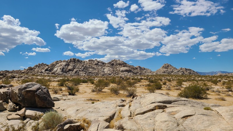
Guacamole is a straight-through rock-crawling trail just west of Means Dry Lake. This short but fun trail offers obstacles, waterfalls, and plenty of rocks to challenge even the most hardcore group. The main obstacle of the trail is on the southwest end, a boulder waterfall roughly 5 feet tall with a v-notch that can often destroy rocker panels and sometimes cause body damage. The trail is often combined with Resolution to create a longer route. Guacamole is an excellent trail for people looking to get their feet wet on the Johnson Valley Trails but want to avoid getting in over their heads. This trail is best suited for modified vehicles with larger tires, skid plate protection, and locking differentials.
Although this trail does not host any suitable camping options, the northeastern trailhead offers plenty of open areas for people to hang out, camp, and watch the entertainment.
Updated: 12/04/2025
Solar Road
Johnson Valley, California
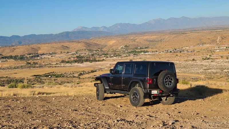
Located within the Johnson Valley OHV Area, JV4228 is an east-west route, linking Soggy Dry Lake and Cougar Buttes, passing through beautiful, jumbled boulder formations. This sandy desert trail has no obstacles and would be enjoyed by new offroad explorers in a 2-wheel drive high clearance vehicle. Expect washboards and occasional exposed rock.
Dispersed camping is abundant along the trail and can be enjoyed when following the BLM Dispersed Camping Guidelines. Book docking in large RVs is common along the western end of the trail. Campfires may be prohibited, and it is the responsibility of campers to know and follow the current Campfire Restrictions.
Updated: 02/05/2025
Juniper Flats 3380
Apple Valley Highlands, California
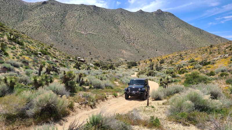
With its trailhead at the edge of the Mojave River in Apple Valley, JF3380 heads east, rising 1,800 feet on a ledge road carved into the San Bernardino Mountain foothills and reaching the Juniper-covered flats of the Bureau of Land Management (BLM) Juniper Flats Subregion. As the trail climbs, impressive 180-degree views are revealed to the west of the meandering Mojave River bed and the distant San Gabrial Mountains. Once reaching the top of the foothills, the sweep of the evergreen Junipers is revealed and offers shady pullouts to relax and have lunch.
The trail is an easy drive, following a maintained road that requires only a 2-wheel drive high clearance vehicle, but exploring the many intersecting trails will require a 4x4. The western portion of the trail may be intimidating as it is on a shelf road with steep drop-offs. A few sections of the trail have water-worn ditches running its length that are easily bypassed to the side. The Juniper Flats Subregion is a Limited Use Area requiring vehicles to stay on marked trails.
Dispersed camping can be enjoyed on BLM land when following the BLM Camping Regulations. The beginning of the trail offers two sizeable flat staging areas, one low and one farther up the hill, near the BLM kiosk for Juniper Flats. Once over the hills, the flats offer several suitable dispersed campsites amongst the shading Junipers. Open fires may be prohibited, and it is the responsibility of campers to know the Fire Restrictions and Regulations.
Updated: 10/15/2024
Scodie Mountains SC69
Sageland, California
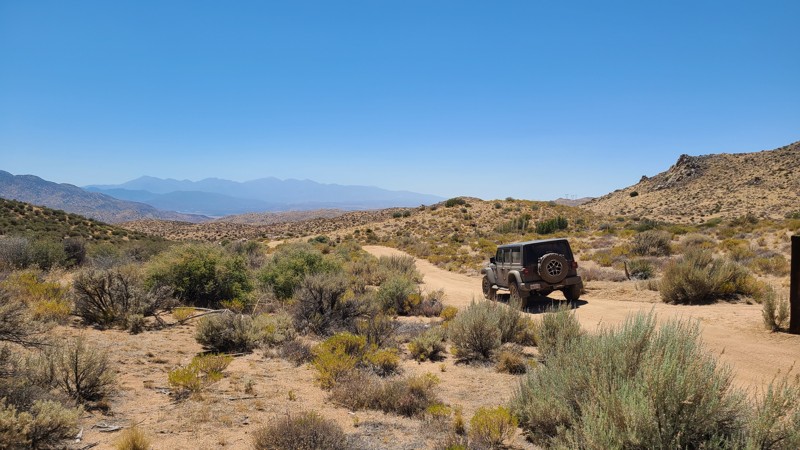
This straight-through narrow trail rises 1300 feet following a narrow canyon to reach the 6000-foot overlook at Wyleys Knob. Once there, you will be treated to impressive mountains and desert floor views. In the canyon, water collected from the surrounding hills supports dense groves of joshua trees. A striking feature found about one mile into the trail is a massive boulder stack precariously balanced, looking much like a mousetrap needing only the slightest nudge to fall on the trail.
SC69 is almost entirely a soft, sandy, easy trail, with the northern end being the most challenging, requiring a 0.2 mile-long climb on deep soft sand exceeding a 20-degree incline. This trail is designated by BLM as “Difficult,” requiring an experienced driver in a high clearance 4WD vehicle with 4-low and a running start to make it up the last steep section of the soft sandy trail.
The only suitable dispersed camping location on this narrow canyon road is near the mousetrap boulder stack. Dispersed camping is allowed when meeting the BLM Camping Guidelines. During high fire danger, campfires may be restricted, and if planning to camp here, one should review the current BLM Campfire Restrictions and have a Campfire Permit.
Updated: 08/26/2025
Carbine Flat Spur A
Fizzben Heights, California
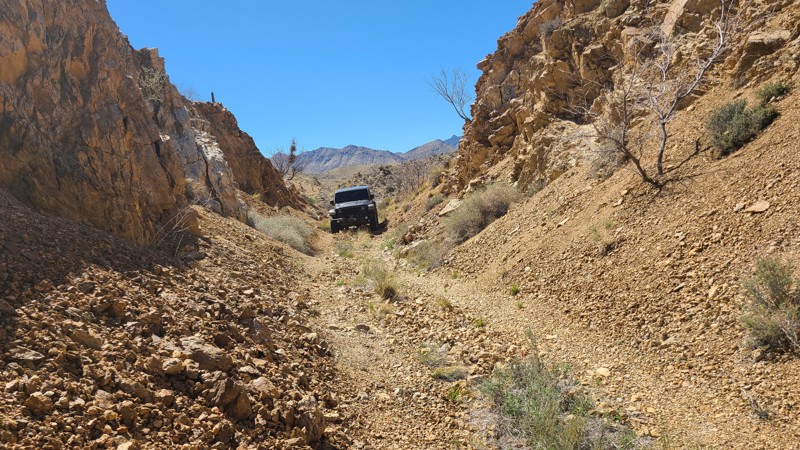
Carbine Flat Spur-A provides drivers a chance to test their off-roading skills and vehicle capabilities over a challenging trail. Located in the high desert of the San Bernardino National Forest, Carbine Flat Spur-A slowly descends from the Carbine Flat area to the varied landscape of Juniper Flats. Along the way, the trail passes several motorized and hiking trails that beckon exploration. Near the west end of the spur is the Deep Creek area with popular hiking trails to nearby hot springs. From here, there is access to dozens of other marked BLM trails in the 100,000-acre Juniper Flats.
Forest Service trails on Carbine Flat Spur-A indicate a solid blue square for a “More Difficult rating,” but the trail could easily be rated “Most Difficult” or black diamond. The trail surface is often very rocky with a few significant protruding rock formations and steep slippery climbs. An experienced driver in a lifted 4x4 is necessary for this trail. The most difficult obstacle, about 1.7 miles from the trailhead (N34° 21.108', W117° 07.318'), is an unavoidable rock waterfall requiring careful wheel placement. The west end of the trail features a steep climb over a very worn, rutted, off-camber surface with exposed boulders, making it best suited for those with lockers. The quickest exit to paved roads from the trail's end is via Pack Mem Trail JF3300, which is an intimidating 1,000 feet descent down a shelf road.
Several level clearings suitable for dispersed camping do exist, but they are exposed to the wind and can be found next to the trail. For those looking for a prepared campsite, the Forest Service Horse Springs Camping site, located about 3 miles east of the trailhead, offers tree-shaded campsites, picnic benches, fire rings, pit toilets, a group ramada, and a picnic area. Campfires are prohibited in the National Forest.
Updated: 04/10/2026
Goldome Mill Mine Road
Vanderbilt, California
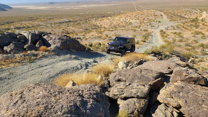
Hugging the western border of the Mojave Wilderness, Goldome Mill Mine Road provides a glimpse of the wild, rugged, and undisturbed beauty of the New York Mountain foothills. The road was heavily engineered to provide a level path for ore trucks by cutting through hills and filling the low gaps with 30-foot-tall earth berms. Driving these tall embankments provides a fantastic perspective of the surrounding desert and wildlife below. Once past the foothills, the trail reveals fantastic views over the distant Ivanpah Valley.
This one-vehicle-wide trail is very rugged, filled with apple-sized stones, and some portions are weather- and tire-worn, creating deep, offsetting depressions, resulting in the trail's moderate difficulty rating. A 4x4 with good ground clearance is required to drive this trail.
Updated: 10/15/2024
Green Rock Mine Road
Johnson Valley, California
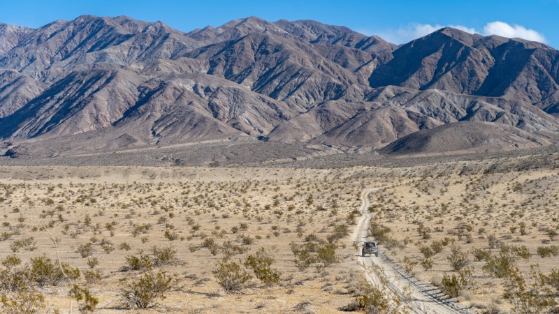
Located in the Johnson Valley OHV area and Fry Valley, Green Rock Mine Road cuts through the remains of its namesake Green Rock Mine and the mounds of green rock left over from the mining operation. This high elevation provides expansive views to the south of the desert floor and distant San Bernardino Mountains.
While starting over an easy desert floor, the trail becomes very difficult once climbing into the Fry Mountains over large loose rocks. The last half mile of the trail requires a high clearance four-wheel drive vehicle with an experienced driver.
Dispersed camping is allowed here when following the Bureau of Land Management Dispersed Camping Guidelines. Several dispersed campsites can be found around the mining camp with flat areas large enough for several vehicles and high enough to provide nice views to the south of the desert and distant mountains. Campfires are generally prohibited, and if you plan to camp, you are responsible for knowing the Campfire Restrictions.
Updated: 02/02/2026
Thimble Trail
Ocotillo Wells, California
Thimble trail is a cut-a-cross from Short Wash to Highway S22. Although the trail isn't popular, this is a great way to exit from Font's Point to enjoy views of the area and have a secluded and relaxing drive. Taking the trail from south to north, you will experience stunning views of the Santa Rosa Mountains across the highway as you work through what seems like never-ending desert fauna. The trail is an easy dirt path that any 2WD high-ground clearance vehicle can complete.
Even though you could disperse camp off this trail, most people camp off short-wash as that area provides a wind break. The best camping on this trail is near the southern end, where the fauna is more spread out, reducing your risk of getting injured by sharp plants.
Updated: 02/10/2025
Cryer Road
Banning, California
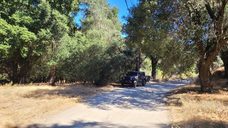
Beginning in the beautiful oak-tree-covered Poppet Flats, Cryer Road hugs the borders of the San Bernardino National Forest as it twists down the foothills of the San Jacinto Mountains. This easy drive over a maintained road offers continuous views to the northwest.
The road is mostly over private land; only a small portion is on Bureau of Land Management land, and there are no suitable dispersed camping spots.
Updated: 09/22/2025
Roadrunner Rut
Rimrock, California
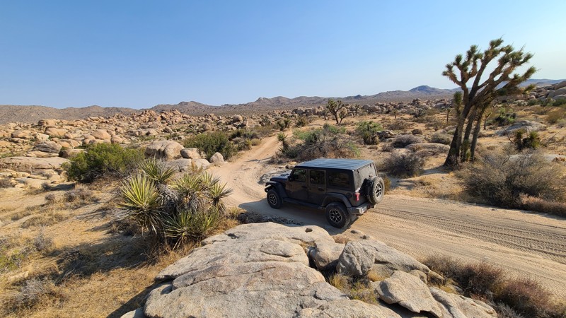
Roadrunner Rut is near the western edge of the San Bernardino National Forest and drives through the recently designated Sand to Snow National Monument. The trail escorts you in and amongst a spectacular desert landscape of massive boulder piles arranged in such a way that it seems more like intentional art than the result of natural erosion. The trail intersects a nest of other BLM trails to explore, and New Dixie Mine Road at its north end provides the opportunity to continue the adventure up into the San Bernardino National Forest.
Tucked in amongst these massive boulders, you will find excellent sheltered dispersed campsites. Most sites have room for several vehicles. One of the best sites is found on a turnout about 2.6 miles from the south end of the trail. This quiet, secluded site hugs a massive boulder and is watched over by a jigsaw puzzle of balancing boulders. The area is flat with space for two or three vehicles.
Roadrunner Rut provides both a navigation and driving challenge. There are occasional BLM trail markers, but many unmarked intersecting trails can easily be taken. A GPS using the provided .gpx is the best way to stay on track. After an easy start over the first 2 miles, the trail narrows and follows a tight, twisting path over and around large 18-inch boulders. Near the north end of the trail, there is a steep hill reaching a 25-degree decline with a tight 90-degree turn. Four-low will be required to climb this hill, but it also aids in the descent. A four-wheel drive, high clearance vehicle driven by an experienced off-roader is necessary to safely travel this trail
Updated: 08/11/2026
Redrock Inyokern Road
Ricardo, California
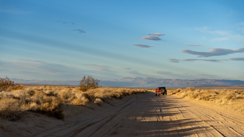
Redrock Inyokern Road runs north-south and connects Inyokern, California, with Red Rock Canyon State Park. It travels directly next to the El Paso Mountains Wilderness Area for a third of the distance. A few dispersed campsites can be found on the BLM portions of the trail but are far and wide throughout its 18-mile length. The road is maintained, but embedded rock will poke up from the dirt surface when you least expect it. However, it is suitable for any vehicle in dry conditions.
The El Paso Mountain Wilderness area has a rich mining history, particularly from the early 1900s, when miners built stone cisterns to collect and store water for operations, livestock, or personal use. You will see a few of them as you drive the road.

Upgrade your Membership
Unlock all of the details on every Trail Guide and Scout Route.
Start a 7-day Free TrialBrowse Trails in California by City
Browse every California city with offroad trail guides.
Community
Partners

