




By clicking "ACCEPT", you agree to be the terms and conditions of each policy linked to above. You also agree to the storing of cookies on your device to facilitate the operation and functionality of our site, enhance and customize your user experience, and to analyze how our site is used.
California Off-Road Trails
415
Total Trail Guides 392

4106
Detailed Waypoints 524
Try a Free 7-Day Trial and unlock it all
Start a Free Trial Most Recent Trail Reviews
Rated 5/5
Open
Visited: 09/19/2026
Great beginner trail here for those looking to try out some rockier sections. Starting to trend a little closer to a rating of 4, but still a 3 I’d say

R
Rob
Rated 5/5
Open
Visited: 09/19/2026
I entered this trail from Freeway Ridge 4WD trail (31E77) and ran Black Gulch Jeep Trail up to Rancheria Road, turned around, and ran Black Gulch Jeep Trail all the way down to Keyesville Road in Lake...



Daniel Macioce
Rated 4/5
Open
Visited: 09/19/2026
Took out the vstrom 800de today and this thing was tough for someone like me who is pretty new to offroading motorcycles. I ended up turning around about half way because I wasn't sure if I would be a...
SK
sean kotrola
No Rating
Open
Visited: 09/19/2026
The trial marked by the app here is very difficult with all the recent deep washouts. Proceed at your own risk if you are by yourself with unmodified rigs. However the bypass is maintained and should ...
TB
Timmy Boby
Rated 5/5
Open
Visited: 09/18/2026
Very friendly fire watch tower volunteers and fantastic 360 degree views up top
R
Rob
Rated 5/5
Open
Visited: 09/18/2026
Great views and an easy drive through. Be sure to take the road up to the fire watch tower
R
Rob
Rated 5/5
Open
Visited: 09/17/2026
ran the trail twice last weekend, this is such a better way to go than 3n16...


Josh Noesser
Official Crew
Rated 5/5
Open
Visited: 09/16/2026
It's been 6 years since I visited this trail. It has seen some wear, but the overall difficulty is about the same, probably a bit higher now, as Waypoint 11 has suffered from traffic. Waypoint 11 ha...

Robert
Official Crew
Rated 5/5
Open
Visited: 09/16/2026
Started off from polique canyon at way point 13 and headed east. Its a great trail for most of it with scenic views. A good amount mud puddles that were fun as hell to drive through. Some I decided to...


VM
Victor Manuel Garcia
Rated 5/5
Open
Visited: 09/16/2026
Used this trail to get to Holcomb valley. Super easy and a nice drive, I can see how in the winter it can be a bit more challenging with rain and snow.
VM
Victor Manuel Garcia
No Rating
Open
Visited: 09/16/2026
Mostly easy, but heading NE there's a rock step down just a few miles in that *requires* high clearance. Banged the rear end of my 4runner despite having a 3" lift and 33" tires. A stock SUV would alm...



Carlos H.
Rated 5/5
Open
Visited: 09/15/2026
It's been over 4 years since I was last on this trail, and I was very happy to see that the old car was still there. Some research suggests that it is a 1939 Plymouth Road King 5-window coupe.


Robert
Official Crew
Rated 5/5
Open
Visited: 09/14/2026
A fun little detour off Burns Canyon. I ran this alone and stopped a few times to spot; I also used my grill camera in several places. I brushed my sliders a couple times, but no real issues. Definite...
EB
Ed Boyd
Rated 5/5
Open
Visited: 09/13/2026
easy perfect beginner off roader trail with great views and water crossing during the winter.



Dex Offroad
Rated 5/5
Open
Visited: 09/12/2026
Fenders Ferry kept giving me reasons to slow down and enjoy the ride. I loved winding along mountain ridges, following creeks, and catching glimpses of Shasta Lake's fingers tucked between the hills. ...



Rose Meirs
Official Crew
Rated 5/5
Open
Visited: 09/11/2026
super easy trail over looking the valley and 15fwy. only bad thing is that its super windy.

Dex Offroad
No Rating
Partially Open
Visited: 09/09/2026
Although you can cross the creek from Fordyce if you want, Committee Road is still closed back to the I80, so this has no exit, and you'll be forced back onto Fordyce.

Ryan Boudreau
Official Crew
No Rating
Temporary Closure
Visited: 09/09/2026
Road is still closed. I thought i read somewhere an expected 2030 opening, but can't confirm that info.
Ryan Boudreau
Official Crew
Rated 5/5
Open
Visited: 09/09/2026
This is an awesome trail . This trail is moderate with a few obstacles to make it fun. It also has incredible scenic views with a little bit of shelf roads. You can watch the full video on my YouTube ...


Dex Offroad
Rated 5/5
Open
Visited: 09/07/2026
Pretty spot on with the rating, was a little tough today with the rain but made it through in my 2023 Gladiator Overland with 2.5” lift and 35s with autolynx sway disconnects.


CT
Christopher Tanton

Shaan Heugly
Rated 5/5
Open
Visited: 09/06/2026
Drove reverse from what’s listed to the jasper trail. This is a easy but enjoyable trail with plenty of places to camp at the end of the
Shaan Heugly
Rated 5/5
Open
Visited: 09/06/2026
Bit washed near the top but nothing difficult to navigate. I headed from jasper to the highway and near the highway it did narrow. I got through with my Tacoma but there are a few pinch points I could...
Shaan Heugly
Rated 5/5
Open
Visited: 09/06/2026
Mostly easy trail but when going south to north, I did need to use 4Lo on some of the inclines with a loaded Tacoma
Shaan Heugly
Rated 4/5
Open
Visited: 09/05/2026
It had been five years since I last drove this trail. The long, annoying stretches of moguls are still there, and water erosion has added a touch more difficulty in places. It was nice to see the old ...


Robert
Official Crew
Rated 4/5
Open
Visited: 09/05/2026
This is a nice trail with great views for any 4WD with ground clearance as some sections have ruts that are 12+ inches deep. Things were very dry on my visit, so airing down the tires helped to smooth...


SG
Steve Graham
Rated 3/5
Open
Visited: 09/05/2026
From waypoint 7 to 10 the water damage is pretty bad. Waypoint 13-16 it is rocky. Nothing crazy but a few spots where patience and the right line will go a long way. Good clearance and 4x4 recommended
N
Noah
Rated 5/5
Open
Visited: 09/05/2026
Easy trail with an awesome view at the end. There were three lookouts in the fire tower and each one was super friendly and informative. Must see trail!


N
Noah
Rated 5/5
Open
Visited: 09/05/2026
fun easy trail, Butler Peak lookout is the highlight imo
N
Noah
Rated 5/5
Open
Visited: 09/04/2026
Trail was very well maintained. Thanks for the Fresno 4x4 club. It was very cold at night, into the 30s. We were on the trail two nights, 3 days and two nights at voyager rock due to a breakdown fr...
JD
John Drago
No Rating
Open
Visited: 09/04/2026
Beautiful area, but the trail itself wasn’t very interesting. I’d rate it around a 3/10, with a couple of optional sections that might push a 4.
There’s tons of dispersed camping throughout the area,...


Ryan Smith
Rated 5/5
Open
Visited: 09/01/2026
awesome trail with a lot of water crossings. just be careful of sxs and bikes since its a OHV area.

Dex Offroad
Rated 5/5
Open
Visited: 09/01/2026
Super easy trail and you can over look the high desert. Trail ends at an awesome view point.

Dex Offroad
Dex Offroad
Rated 5/5
Open
Visited: 08/31/2026
This trail is much harder than it used to be. It’s just as breathtakingly beautiful as ever. You are on your own out there. Fuel, parts, spare tire. It’s days from help if you need it so go prepared. ...

CP
Christopher Pepin
No Rating
Open
Visited: 08/30/2026
Ran this trail today and had fun. Easy trail with great views. I wouldn’t hesitate to take an experienced driver in a stock jeep up this. There are lots of trails in this area and way to get off the m...

CP
Christopher Pepin
No Rating
Open
Visited: 08/29/2026
Trail was in good shape, a little less sand makes the boulders a little bigger. People have made the bypass around the sluice a little bit longer than it used to be you miss a lot of the good rocks. O...
C
Campbell
Rated 5/5
Open
Visited: 08/29/2026
An often overlooked and amazing trail. It’s about the length and difficulty of the rubicon if you don’t hit any of the bypasses on the rubicon. We had a group of 3 lj on 40s, a jku on 42s, and an Xj o...
CP
Christopher Pepin
Rated 4/5
Open
Visited: 08/27/2026
This is most definitely a hard trail. Is the entire thing hard? Not at all. The western 7 miles are a hard packed dirt road. Then you run into 3 straight, large boulder obstacles where its clear many ...


Ryan Boudreau
Official Crew
Rated 4/5
Open
Visited: 08/27/2026
Easy drive with beautiful views and . . . Buck Rock! Lots of camping south of Buck Rock, but camping north of the Rock isn't as plentiful. There are a few others on the north, but there's one here: 36...


Carlos H.
Rated 5/5
Open
Visited: 08/26/2026
I really enjoyed this road. It's super scenic with the sierra's in the background, the white beaches, and the columns are really cool. The road is not anything challenging with a high clearance vehicl...


Ryan Boudreau
Official Crew
Rated 4/5
Open
Visited: 08/25/2026
Fun area. The hot springs are pretty popular and well-known, and because they are small, you'd better hope you are one of the first people there that day if you want to get in. The route is easy, exce...


Ryan Boudreau
Official Crew
Rated 4/5
Open
Visited: 08/25/2026
I liked this trail a lot, but it's not quite a 5-star trail for me. I feel like it's a little overhyped. Is it scenic? Absolutely! Is there tons of great camping? Totally! Is it a crazy busy? You Bet!...


Ryan Boudreau
Official Crew
Rated 4/5
Open
Visited: 08/25/2026
Road to the hot springs parking area is easy. There are regular passenger cars there. The hike is easy too. The tub itself is super scenic, but know that they are not hidden gems by any means and we'l...

Ryan Boudreau
Official Crew
Rated 3/5
Open
Visited: 08/25/2026
It's a simple road, but definitely very scenic and really only used to get from Convict to Laurel Lakes or Mammoth. Road is suitable for anything with decent ground clearance.


Ryan Boudreau
Official Crew
Rated 2/5
Open
Visited: 08/25/2026
Simple dirt road used to access other types of recreation. Many signs remind you that you aren't allowed to camp along it except at the campground.


Ryan Boudreau
Official Crew
Rated 3/5
Open
Visited: 08/23/2026
Simple, straightforward dirt road used for fishing access.


Ryan Boudreau
Official Crew
Rated 5/5
Open
Visited: 08/23/2026
Amazing views at the top of this trail. Erosion looks to be making this trail harder than it probably originally was. Most of the hardest spots are getting bypasses created around them. A short, st...



Dan Jurgella
Rated 5/5
Open
Visited: 08/23/2026
Toad Lake Road 40N64 was a long, slow, and wonderfully remote drive into the Trinity Divide. The changing mix of old pavement, dirt, loose rock and deep ruts kept the journey interesting, while forest...


Rose Meirs
Official Crew
Rated 5/5
Open
Visited: 08/23/2026
North Fork 41N53 was a fun backcountry drive through the forest west of Mount Shasta. Early in the trip, a wrecked motorhome beside the road provides unforgettable confirmation that you are on the rig...


Rose Meirs
Official Crew
Most Popular

Updated: 05/20/2026
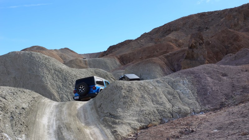
Mud Hills Southern Route
Yermo, California
The Mud Hills Southern Route is an entirely different experience than the other Mud Hill routes. While the other routes run along deep, narrow canyon floors, the southern route is up on the hills the entire way. Because of this, the route is much easier and an easy way to connect Odessa and Phillips Canyon. Since this trail is mostly an easy dirt trail, 2WD high ground clearance vehicles with offroad tires that are aired down can drive this trail in normal conditions.
There is no camping along the trail.
Updated: 09/21/2025
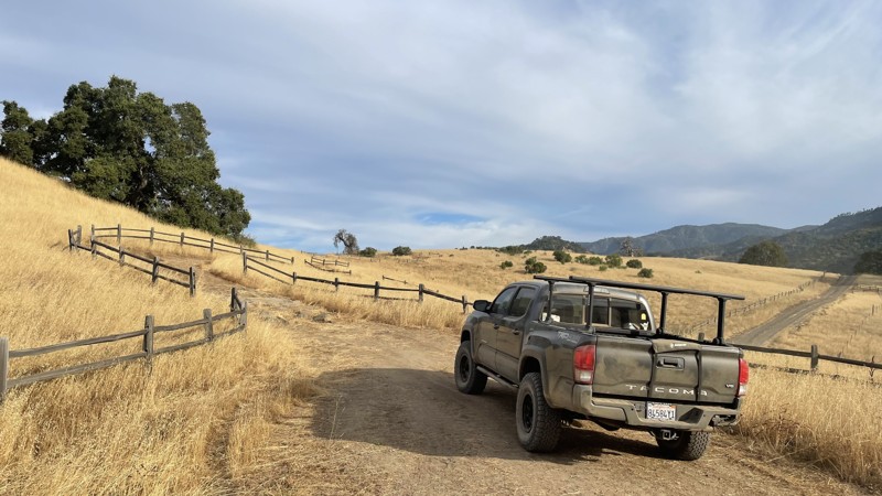
Hollister Hills SVRA: Adventure Trail
Ridgemark, California
Hollister Hills SVRA is a 6,800-acre SVRA park and was the first SVRA made by the California parks department. The park is divided into three parts, the Upper Ranch, Lower Ranch, and Hudner Ranch. The Lower Ranch is for dirtbikes. While the Upper Ranch and Hudner Ranch are for 4x4s, visitors should stop first at the ranger station in the Lower Ranch to pay the $5 entry fee and get a map of the trails, as well as the lock combination to the gate at Hudner Ranch.
Adventure Trail is a short but sweet trail in the Hudner Ranch portion of Hollister Hills SVRA. It is moderately difficult, and any 4WD or AWD vehicle can complete it. This trail is great for beginners looking to get experience offroad. The trail is made up of loose dirt with some steep hills and sharp turns. Portions of the trail are overgrown, and pinstriping is likely from the branches and bushes that have grown onto the trail. There is no camping directly off of the trail, but there are campsites available in Hudner Ranch that require a prior reservation.
Updated: 01/05/2023
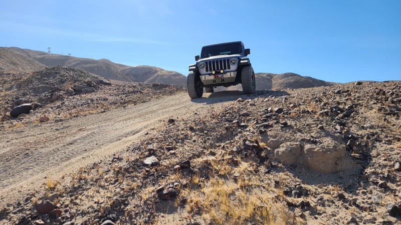
Voodoo
Brawley, California
Looking for a change in pace when cruising through The Superstitions in Southern California? Thinking about taking up a little witchcraft? Well, Voodoo might be your trail. This easy trail takes you from the center of the mountain range to the northern edge. It is full of stunning views and has some of the harder rock crawling trails just off of it.
So when in the area, check out Voodoo and tell us what you think.
Updated: 08/11/2026
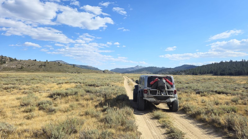
Beck Meadows / Deer Island Road
Olancha, California
Sitting at approximately 7,900 feet above sea level near the northern side of Monache Meadows, 20S05 is a popular and exceptionally scenic trail often considered the poster child for the area. Known for its crossing of the South Fork Kern River, it is one of the two most photographed trails in the region. Beyond its picturesque setting, 20S05 is the longest trail traversing the meadows, offering stunning views and excellent opportunities for photography. The trail's length also provides a great vantage point for observing wildlife as they roam the vast meadows. Near the southern end, the trail reaches a permit-required wildlife area that quickly dead-ends at the river, with an option to hike an additional 500 feet for another encounter with the beautiful Kern River. Although easy and accessible for most off-road vehicles, caution is advised when crossing the river, as conditions can change rapidly, potentially altering the trail's difficulty. Despite its length, the trail does not offer ideal camping spots, so it is recommended to camp at 20S03 near the meadow entrance for convenient access.
Please note: This is the Golden Trout Wilderness Area, one of the few areas where golden trout naturally live. Because of this, there are special fishing rules. Please research the rules and regulations before fishing in the area. More information can be found at the "Fish and Game Website."
Updated: 09/22/2025
Rattlesnake Canyon 2340
Rimrock, California
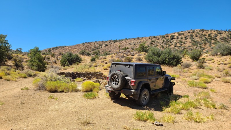
Located south of the popular Johnson Valley OHV area and reached from RC2330, RC2340 is an up-and-back over a rugged trail. Ruins can be found within sight of the trail from this once-active mining area. Many short intersecting spurs invite exploration along this route.
The trail has steep rocky sections requiring a 4-wheel drive high clearance vehicle.
Many established campsites can be found along this trail, and dispersed camping is allowed here when following the Bureau of Land Management's Camping Guidelines. Open fires are prohibited in this area.
Updated: 05/20/2026
Hogback Ranch Road
Lone Pine, California
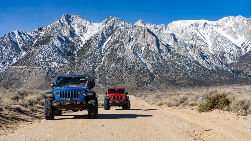
Hogback Ranch Road is a maintained dirt surface suitable for any vehicle. If travelling from the east and starting on Movie Road, it gains elevation until it finally leaves BLM-managed land and ends up in the Inyo National Forest, where you will get to witness pine trees! One campsite is directly on the road, which is not numbered on the BLM map, but signage indicates it's okay to camp there. The site is large and suitable for a group of vehicles looking to camp with one another.
About camping on this route:
All dispersed camping is designated to a specific site and requires a permit. A permit can be obtained online or at the Eastern Sierra Visitor Center or kiosks located on Movie Road and the main entry point in Lone Pine. Permits need to be signed and displayed on your dashboard.
The BLM has created a map showing the site numbers. However, those numbers are not used in the field, but each site is clearly marked with either a camping allowed or no camping allowed symbol on a clearly visible sign. Please be aware that all sites are first come, first served, and a permit does not guarantee you will find a site. Due to the area's popularity, it is best to arrive early.
There are six portable restrooms throughout Alabama Hills. If you do not want to drive or walk to one, you must bring your own system to pack out human waste.
Updated: 01/07/2025
West Loop Trail
El Mirage, California
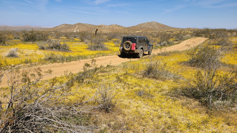
Reaching the northernmost border of the 27,000-acre El Mirage OHV Recreation Area, the West Loop Trail begins on a flat basin before going into the rugged Shadow Mountains, where it becomes a rough and occasionally steep path. Notable waypoints along the route are Resurrection Hill, where ATVs have carved snake-like lines up its sides and are visible even from a distance, and the remnants of Rabbit Hole Mine directly next to the trail. At the trail's northernmost reach is the Fearless Folly 4X4 Trail intersection, an extremely rugged trail meant only for experienced offroaders in groups for mutual rescue.
West Loop Trail is an excellent trail for beginning offroaders to build their driving confidence on a bit more rugged and steep trail yet can still be managed with a two-wheel drive high clearance vehicle.
Dispersed camping is plentiful along the trail, with enticing dispersed campsites tucked amongst the rocks or beside shading joshua trees. Improved dry camps are only a short distance from its end.
El Mirage OHV Recreation Area requires a permit for one day/night, payable at the Visitor Center entrance.
Updated: 10/15/2024
Cronise Lake Area - CL8337
New Dunn, California
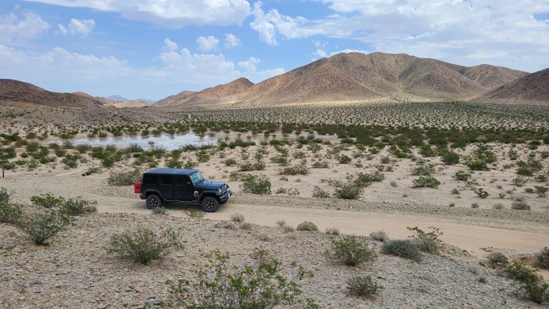
The places to visit on this short easy trail make CL8377 a tempting detour. Shortly after the start is the Bonnie Keebler Harris grave, who died in 1872 while traveling on a wagon train heading west. Her grave has a permanent marker installed by the Mojave River Valley Museum. A short distance further, surrounding a small playa, a copse of rare Crucifixion Bushes, the same large thorns put on Jesus Christ's head. Two miles from the trail's end, a green rocky outcrop appears. A short hike away lie intaglios in the rocks and classic Indian sleeping circles where natives built brush shelters or wickiups. A short drive past the trail's end will take you to Afton Canyon and access to the BLM improved camping and the Mojave Road.
Dispersed camping is available along the trail following the BLM Barstow Field Office camping guidelines.
Updated: 10/15/2024
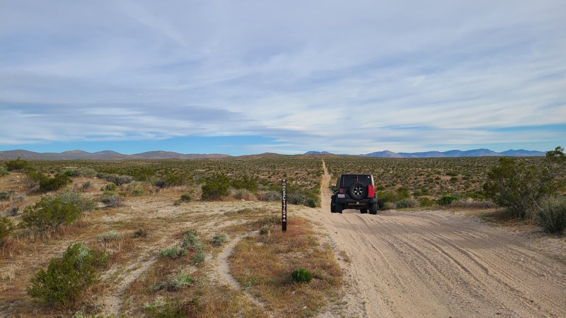
Scodie Mountains SC175
Rancho Seco, California
SC175 is an excellent introduction to the trails of the Jawbone Canyon OHV Area. It conveniently starts and ends near Highway 14 with a must-stop at the Jose Bishop Gravesite and Claim about ½ way along the trail.
The road is wide and well maintained and an easy drive for new offroaders, but it still requires a high clearance 4x4 to manage the soft sand and occasionally exposed rocks.
There are only a few predisturbed sites for dispersed camping and they can be enjoyed when meeting the BLM Camping Guidelines. BLM provides better camping at many sites along Jawbone Canyon Road. During high fire danger, campfires may be restricted, and if planning to camp here, one should review the current BLM Campfire Restrictions and have a Campfire Permit.
Updated: 10/15/2024
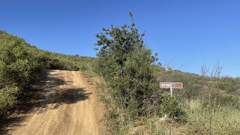
Frank Raines OHV: Rut Ridge
San Antonio Valley, California
Frank Raines OHV Park is located not far from Patterson, CA. It is open to 4x4s from sunrise to sunset with a $5 admission fee per vehicle. The park is open to all OHV vehicles, so be sure to watch out for dirtbikes, quads, and SXS.
Rut Ridge is a moderate trail, rated blue by the park's rating system. Despite the name, Rut Ridge is one of the least rutted trails in the park and can easily be completed in 4WD or AWD. The most difficult portion of the trail is a series of short hill climbs. The trail eventually connects to Fire Road, another trail in Frank Raines.
Deer Creek Campground is located at the park's entrance. The campground has 34 sites with picnic tables, restrooms, and other amenities. Prices range from $15 to $30 per site.
Updated: 08/11/2026
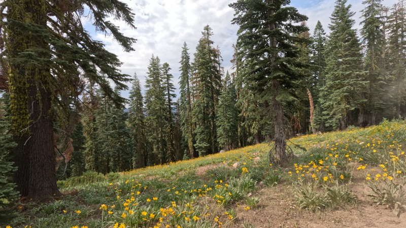
Williams Creek
Bassetts, California
Williams Creek, located within the Tahoe National Forest, is a straight-through, well-maintained dirt road that makes a great way to get around on your overland adventure. You will see towering trees well over 100 feet tall along the route. Since the forest seems well maintained, the views along the route are something else. Just be careful; the trail is so smooth it is easy to go faster than you can safely stop. Any offroad vehicle can do this trail.
Even though the area is well maintained, the majority of the trail is up on the cliffside, meaning there are no ideal places to camp.
Updated: 08/11/2025
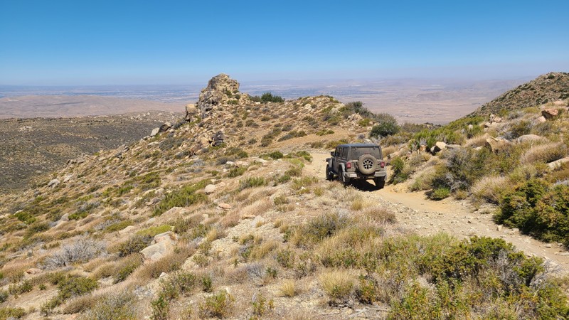
North Peak
Fizzben Heights, California
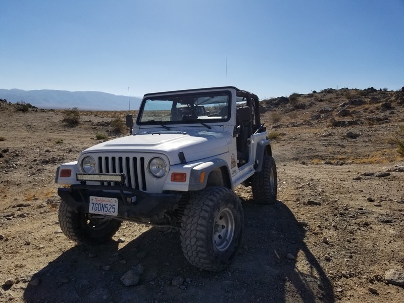
In the forest-to-desert transition on the north side of the San Bernardino National Forest lies North Peak Road. Created to reach the once active White Knob Quarry, the trail is an out-and-back rising about 1,000 feet up the west side of White Mountain. Drivers looking for an offroad challenge to test their driving skills will enjoy this steep trail, and their efforts will be rewarded with inspiring panoramas out to the distant San Gabriel Mountains. The trail ends at the quarry where the exposed white limestone and the mountain's namesake were being harvested
The trail is deeply rutted and follows steep rock-covered switchbacks, which have both inclines and off cambers reaching 20 degrees. A lifted 4x4 is required to drive this trail, and lockers will be a benefit to help grip over the loose rocky sections.
While dispersed camping is allowed, there are no suitable flat and level locations to set up camp on the trail. However, only about 1.5 miles to the west of the North Peak trailhead is the Horse Spring Campground with its improved campsites and pit toilets.
Updated: 02/27/2024
Lazy Days - Johnson Valley
Yucca Valley, California
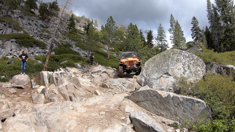
After pushing the rig a bit, it is always nice for a nice lazy day kind of trail. Lazy Days is the connector trail that takes you to or from SOS or the end of Turkey Claw to the east back towards most people's camps. The trail is mostly a wash and hard compact dirt making it an easy route for high speed. The next time you are done breaking your rig on some of the hard trails in Johnson Valley OHV, just remember there is a Lazy Day waiting for you.
Updated: 09/16/2026
Committee / Fordyce Early Exit
Baltimore Town, California
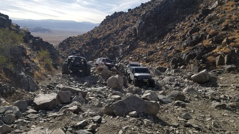
High in the Tahoe National Forest, this rough rocky trail is the early exit/entrance to the iconic Fordyce Jeep Trail.
Committee is full of jagged rock obstacles and steep ledges. The Committee water crossing at the bottom of this trail is said to be the deepest of all the Fordyce water crossings during high water flows. This trail is tough and is best suited for built rock crawling rigs. Stock 4x4s aren't recommended through here.
Updated: 09/21/2026
Bender Alley
Johnson Valley, California
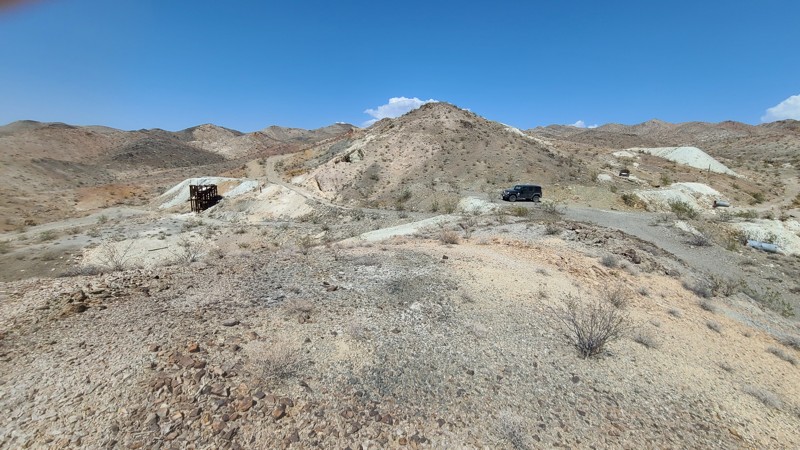
Rocks, rocks, and more rocks. Some of the rocks are large, while others are huge. There is a good reason why Bender Alley is feared. Expect rocks over 6 feet round everywhere. Plus, the gatekeeper obstacle at Wrecking Ball is a good one that will filter out most vehicles.
If you want something really hard, continue up the canyon up Upper Bender Alley. Many say it is the hardest single trail in Johnson Valley.
There is no camping on this trail. Nearby Means Dry Lake has space for everything from RVs to tents.
Updated: 10/15/2024
Appaloosa Way D073
Baker, California
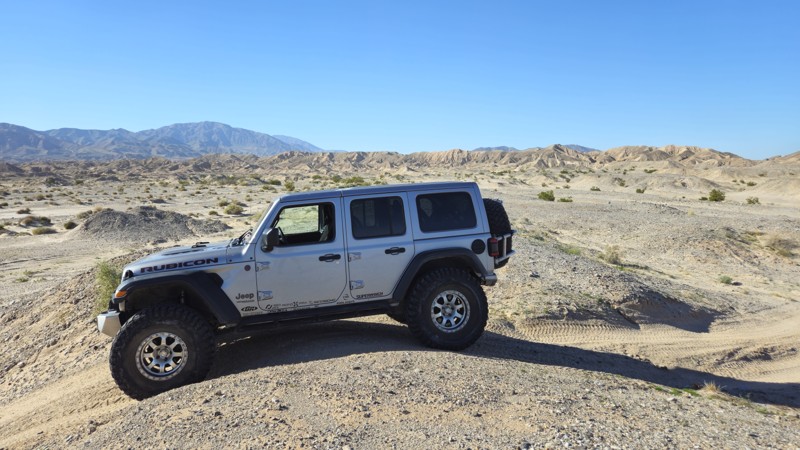
Appaloosa Way is a sandy, flat, up and back trail that follows the western border of the Hollow Hills Wilderness to arrive at the Silver Lake Talc mine. The mine last saw action in the mid-1950s and now lays abandoned with its rotting wooden structures yet still has piles of white talc ready for loading. Camping is allowed anywhere along the trail when following the BLM Barstow Field Office guidelines.
Updated: 08/11/2025
Coral To Palm Wash Cutoff
Salton City, California
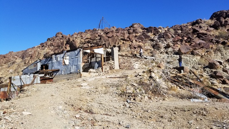
As the name suggests, the Coral to Palm Wash Cutoff is a rough, desert route connecting the end of Coral Wash to Palm Wash in the Truckhaven Hills near the Salton Sea. This path connecting the two trails passes through the mud hills, where you will encounter slightly challenging, tight, off-camber canyons and stunning views. Hosting what might be the most remote place to camp in all of Truckhaven, this trail is definitely a unique little offroad gem.
This trail is suitable for any stock, high-clearance vehicle.
The best camping on this trail can be found right in the middle of the trail, on top of the pass, where you will find a large open flat area that could easily fit 20+ vehicles. Because of the remote nature of this area, this could be a fun place to camp as it offers a minor windbreak, a level, flat dirt ground, and some fantastic views just feet away. The camp spot is suitable for ground camping.
Updated: 10/15/2024
Gold Egg Mine
29 Palms, California
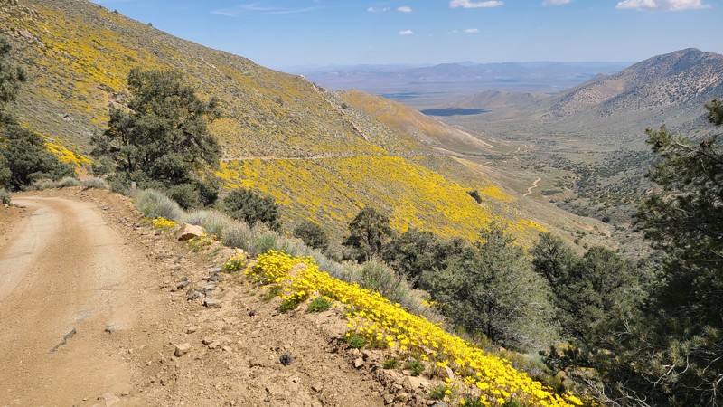
Looking for a unique place to explore or camp when out by 29 palms? Look no further than the Gold Egg Mine just off Gold Crown Road. This unique and fun to explore area has a ton of great historical items that are ready to be rediscovered. Because the area used to be leveled for buildings, the area makes for good overland camping and dispersed camping. So when out and about, and want something new to explore while driving a 4x4 with high ground clearance, you should check out the Gold Egg Mine near Joshua Tree National Forest.
Updated: 08/25/2026
Horse Mountain
Onyx, California
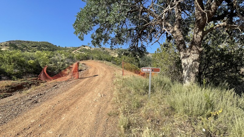
Horse Mountain is often used to access the trailhead for Forest Service road 36E52 to McIver's Cabin. A narrow ledge road winds its way up the side of the mountain with often no room for vehicles to pass. Once at the top, there is the signed trailhead for Forest Service road 36E52.
Some excellent dispersed campsites can also be found when reaching the top of the mountain. Dispersed camping here requires following National Forest Dispersed Camping Rules. Campfires are only seasonally allowed and are generally banned during the summer months beginning in May. When planning to camp, one should first determine if campfires are allowed, meet the required Campfire Safety Rules, and have a valid National Forest Campfire Permit. The best way to determine the campfire restrictions is to call the Kern River Ranger District Ranger Station at (760) 376-3781.
Updated: 10/15/2024
Frank Raines OHV: Truck Hill
San Antonio Valley, California
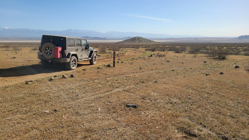
Frank Raines OHV Park is located not far from Patterson, CA. It is open to 4x4s from sunrise to sunset with a $5 admission fee per vehicle. The park is open to all OHV vehicles, so watch out for dirtbikes, quads, and SXS.
Truck Hill is a moderately difficult trail, rated a black diamond by the park. The trail has similar obstacles as other trails in the park, with steep hill climbs, ruts, and loose dirt, but to a lesser degree. Anyone with 4WD and high clearance could complete Truck Hill. The trail connects to Matt's Hill and Spider Hill, two other black diamond trails in the park.
Deer Creek Campground is located at the park's entrance. The campground has 34 sites with picnic tables, restrooms, and other amenities. Prices range from $15 to $30 per site.
Updated: 10/15/2024
Discovery Trail
El Mirage, California
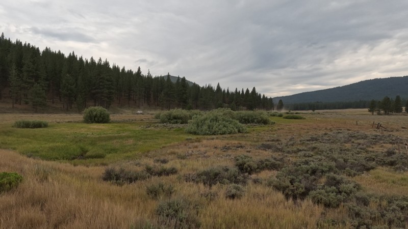
The BLM 27,000-acre El Mirage OHV Recreation Area provides several trails of varying difficulty to interest all offroaders. Discovery Trail is located in the heart of the area, providing a 15-mile tour circling "The Basin." The Basin lies between the La Mirage dry lake bed and the Shadow Mountains to the north, with its travel through the mountain's foothills providing the roughest terrain along the route.
While the improved campsites within the recreation area are located along Mountain View Road, Discovery Trail offers many dispersed camping opportunities, especially at its most western reach among the ruins of Hess Ranch.
A high clearance two-wheel drive will do fine on this trail.
El Mirage OHV Recreation Area requires a permit costing $15 for one day/night, payable at the Visitor Center entrance.
Updated: 11/09/2025
Mitchell Canyon - Long Valley
Verdi, California
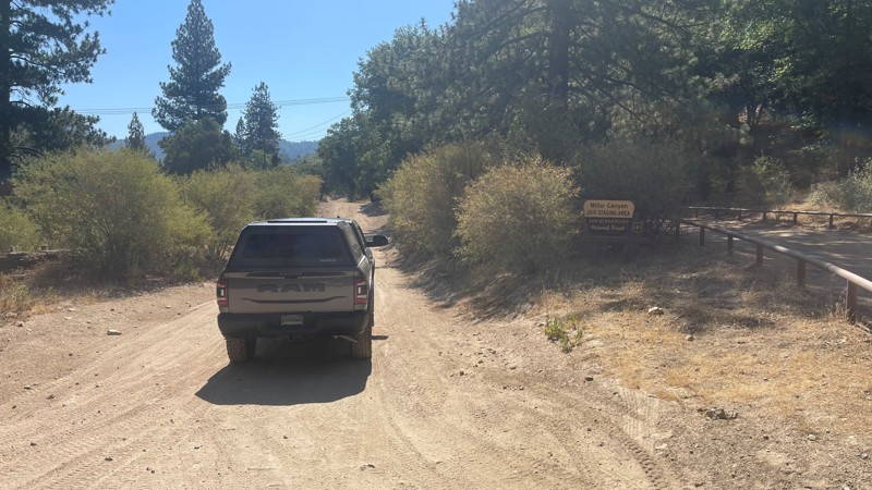
Mitchell Canyon- Long Valley Trail is on the east border of California in the Tahoe National Forest. This easy dirt trail takes you from the hills of Henness Pass down to the border. With such easy access to the area, this is a popular place for people to leave their houses for a day trip or weekend adventure. The trail is a mix of forest and desert flora. Even though dispersed camping is allowed, there are no pre-disturbed sites.
Updated: 09/16/2026
Miller Canyon OHV
Crestline, California
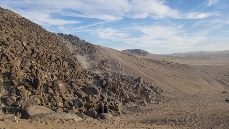
Miller Canyon offers a scenic and approachable entry point starting with a paved road just off Highway 138. The trail quickly transitions into an easy fire road, though you'll encounter sporadic patches of broken asphalt that add a bit of challenge and character to the drive.
You'll find a few level areas ideal for camping. The trail itself becomes increasingly rugged, with deep grooves and scattered rocks that keep things interesting. While four-wheel drive isn’t strictly necessary in dry conditions, it’s definitely a good option to have, especially if the road is wet or if you're planning to explore deeper into the canyon.
Updated: 10/15/2024
Idle Issues
Johnson Valley, California
Made famous by King of the Hammers, Idle Issues is an alternate trail near Chocolate Thunder that goes straight up a rocky hill. With extreme off-camber and loose rocks, it is no wonder most people are afraid of trying this hill climb. But the secret is that a bit of momentum goes a long way.
This is just a short trail. While you could camp at the base of it, which is also Chocolate Thunder, most people camp on the lake bed or just to the south.

Upgrade your Membership
Unlock all of the details on every Trail Guide and Scout Route.
Start a 7-day Free TrialBrowse Trails in California by City
Browse every California city with offroad trail guides.
Community
Partners

