




By clicking "ACCEPT", you agree to be the terms and conditions of each policy linked to above. You also agree to the storing of cookies on your device to facilitate the operation and functionality of our site, enhance and customize your user experience, and to analyze how our site is used.
California Off-Road Trails
415
Total Trail Guides 392

4106
Detailed Waypoints 524
Try a Free 7-Day Trial and unlock it all
Start a Free Trial Most Recent Trail Reviews
Rated 5/5
Open
Visited: 09/19/2026
Great beginner trail here for those looking to try out some rockier sections. Starting to trend a little closer to a rating of 4, but still a 3 I’d say

R
Rob
Rated 5/5
Open
Visited: 09/19/2026
I entered this trail from Freeway Ridge 4WD trail (31E77) and ran Black Gulch Jeep Trail up to Rancheria Road, turned around, and ran Black Gulch Jeep Trail all the way down to Keyesville Road in Lake...



Daniel Macioce
Rated 4/5
Open
Visited: 09/19/2026
Took out the vstrom 800de today and this thing was tough for someone like me who is pretty new to offroading motorcycles. I ended up turning around about half way because I wasn't sure if I would be a...
SK
sean kotrola
No Rating
Open
Visited: 09/19/2026
The trial marked by the app here is very difficult with all the recent deep washouts. Proceed at your own risk if you are by yourself with unmodified rigs. However the bypass is maintained and should ...
TB
Timmy Boby
Rated 5/5
Open
Visited: 09/18/2026
Very friendly fire watch tower volunteers and fantastic 360 degree views up top
R
Rob
Rated 5/5
Open
Visited: 09/18/2026
Great views and an easy drive through. Be sure to take the road up to the fire watch tower
R
Rob
Rated 5/5
Open
Visited: 09/17/2026
ran the trail twice last weekend, this is such a better way to go than 3n16...


Josh Noesser
Official Crew
Rated 5/5
Open
Visited: 09/16/2026
It's been 6 years since I visited this trail. It has seen some wear, but the overall difficulty is about the same, probably a bit higher now, as Waypoint 11 has suffered from traffic. Waypoint 11 ha...

Robert
Official Crew
Rated 5/5
Open
Visited: 09/16/2026
Started off from polique canyon at way point 13 and headed east. Its a great trail for most of it with scenic views. A good amount mud puddles that were fun as hell to drive through. Some I decided to...


VM
Victor Manuel Garcia
Rated 5/5
Open
Visited: 09/16/2026
Used this trail to get to Holcomb valley. Super easy and a nice drive, I can see how in the winter it can be a bit more challenging with rain and snow.
VM
Victor Manuel Garcia
No Rating
Open
Visited: 09/16/2026
Mostly easy, but heading NE there's a rock step down just a few miles in that *requires* high clearance. Banged the rear end of my 4runner despite having a 3" lift and 33" tires. A stock SUV would alm...



Carlos H.
Rated 5/5
Open
Visited: 09/15/2026
It's been over 4 years since I was last on this trail, and I was very happy to see that the old car was still there. Some research suggests that it is a 1939 Plymouth Road King 5-window coupe.


Robert
Official Crew
Rated 5/5
Open
Visited: 09/14/2026
A fun little detour off Burns Canyon. I ran this alone and stopped a few times to spot; I also used my grill camera in several places. I brushed my sliders a couple times, but no real issues. Definite...
EB
Ed Boyd
Rated 5/5
Open
Visited: 09/13/2026
easy perfect beginner off roader trail with great views and water crossing during the winter.



Dex Offroad
Rated 5/5
Open
Visited: 09/12/2026
Fenders Ferry kept giving me reasons to slow down and enjoy the ride. I loved winding along mountain ridges, following creeks, and catching glimpses of Shasta Lake's fingers tucked between the hills. ...



Rose Meirs
Official Crew
Rated 5/5
Open
Visited: 09/11/2026
super easy trail over looking the valley and 15fwy. only bad thing is that its super windy.

Dex Offroad
No Rating
Partially Open
Visited: 09/09/2026
Although you can cross the creek from Fordyce if you want, Committee Road is still closed back to the I80, so this has no exit, and you'll be forced back onto Fordyce.

Ryan Boudreau
Official Crew
No Rating
Temporary Closure
Visited: 09/09/2026
Road is still closed. I thought i read somewhere an expected 2030 opening, but can't confirm that info.
Ryan Boudreau
Official Crew
Rated 5/5
Open
Visited: 09/09/2026
This is an awesome trail . This trail is moderate with a few obstacles to make it fun. It also has incredible scenic views with a little bit of shelf roads. You can watch the full video on my YouTube ...


Dex Offroad
Rated 5/5
Open
Visited: 09/07/2026
Pretty spot on with the rating, was a little tough today with the rain but made it through in my 2023 Gladiator Overland with 2.5” lift and 35s with autolynx sway disconnects.


CT
Christopher Tanton

Shaan Heugly
Rated 5/5
Open
Visited: 09/06/2026
Drove reverse from what’s listed to the jasper trail. This is a easy but enjoyable trail with plenty of places to camp at the end of the
Shaan Heugly
Rated 5/5
Open
Visited: 09/06/2026
Bit washed near the top but nothing difficult to navigate. I headed from jasper to the highway and near the highway it did narrow. I got through with my Tacoma but there are a few pinch points I could...
Shaan Heugly
Rated 5/5
Open
Visited: 09/06/2026
Mostly easy trail but when going south to north, I did need to use 4Lo on some of the inclines with a loaded Tacoma
Shaan Heugly
Rated 4/5
Open
Visited: 09/05/2026
It had been five years since I last drove this trail. The long, annoying stretches of moguls are still there, and water erosion has added a touch more difficulty in places. It was nice to see the old ...


Robert
Official Crew
Rated 4/5
Open
Visited: 09/05/2026
This is a nice trail with great views for any 4WD with ground clearance as some sections have ruts that are 12+ inches deep. Things were very dry on my visit, so airing down the tires helped to smooth...


SG
Steve Graham
Rated 3/5
Open
Visited: 09/05/2026
From waypoint 7 to 10 the water damage is pretty bad. Waypoint 13-16 it is rocky. Nothing crazy but a few spots where patience and the right line will go a long way. Good clearance and 4x4 recommended
N
Noah
Rated 5/5
Open
Visited: 09/05/2026
Easy trail with an awesome view at the end. There were three lookouts in the fire tower and each one was super friendly and informative. Must see trail!


N
Noah
Rated 5/5
Open
Visited: 09/05/2026
fun easy trail, Butler Peak lookout is the highlight imo
N
Noah
Rated 5/5
Open
Visited: 09/04/2026
Trail was very well maintained. Thanks for the Fresno 4x4 club. It was very cold at night, into the 30s. We were on the trail two nights, 3 days and two nights at voyager rock due to a breakdown fr...
JD
John Drago
No Rating
Open
Visited: 09/04/2026
Beautiful area, but the trail itself wasn’t very interesting. I’d rate it around a 3/10, with a couple of optional sections that might push a 4.
There’s tons of dispersed camping throughout the area,...


Ryan Smith
Rated 5/5
Open
Visited: 09/01/2026
awesome trail with a lot of water crossings. just be careful of sxs and bikes since its a OHV area.

Dex Offroad
Rated 5/5
Open
Visited: 09/01/2026
Super easy trail and you can over look the high desert. Trail ends at an awesome view point.

Dex Offroad
Dex Offroad
Rated 5/5
Open
Visited: 08/31/2026
This trail is much harder than it used to be. It’s just as breathtakingly beautiful as ever. You are on your own out there. Fuel, parts, spare tire. It’s days from help if you need it so go prepared. ...

CP
Christopher Pepin
No Rating
Open
Visited: 08/30/2026
Ran this trail today and had fun. Easy trail with great views. I wouldn’t hesitate to take an experienced driver in a stock jeep up this. There are lots of trails in this area and way to get off the m...

CP
Christopher Pepin
No Rating
Open
Visited: 08/29/2026
Trail was in good shape, a little less sand makes the boulders a little bigger. People have made the bypass around the sluice a little bit longer than it used to be you miss a lot of the good rocks. O...
C
Campbell
Rated 5/5
Open
Visited: 08/29/2026
An often overlooked and amazing trail. It’s about the length and difficulty of the rubicon if you don’t hit any of the bypasses on the rubicon. We had a group of 3 lj on 40s, a jku on 42s, and an Xj o...
CP
Christopher Pepin
Rated 4/5
Open
Visited: 08/27/2026
This is most definitely a hard trail. Is the entire thing hard? Not at all. The western 7 miles are a hard packed dirt road. Then you run into 3 straight, large boulder obstacles where its clear many ...


Ryan Boudreau
Official Crew
Rated 4/5
Open
Visited: 08/27/2026
Easy drive with beautiful views and . . . Buck Rock! Lots of camping south of Buck Rock, but camping north of the Rock isn't as plentiful. There are a few others on the north, but there's one here: 36...


Carlos H.
Rated 5/5
Open
Visited: 08/26/2026
I really enjoyed this road. It's super scenic with the sierra's in the background, the white beaches, and the columns are really cool. The road is not anything challenging with a high clearance vehicl...


Ryan Boudreau
Official Crew
Rated 4/5
Open
Visited: 08/25/2026
Fun area. The hot springs are pretty popular and well-known, and because they are small, you'd better hope you are one of the first people there that day if you want to get in. The route is easy, exce...


Ryan Boudreau
Official Crew
Rated 4/5
Open
Visited: 08/25/2026
I liked this trail a lot, but it's not quite a 5-star trail for me. I feel like it's a little overhyped. Is it scenic? Absolutely! Is there tons of great camping? Totally! Is it a crazy busy? You Bet!...


Ryan Boudreau
Official Crew
Rated 4/5
Open
Visited: 08/25/2026
Road to the hot springs parking area is easy. There are regular passenger cars there. The hike is easy too. The tub itself is super scenic, but know that they are not hidden gems by any means and we'l...

Ryan Boudreau
Official Crew
Rated 3/5
Open
Visited: 08/25/2026
It's a simple road, but definitely very scenic and really only used to get from Convict to Laurel Lakes or Mammoth. Road is suitable for anything with decent ground clearance.


Ryan Boudreau
Official Crew
Rated 2/5
Open
Visited: 08/25/2026
Simple dirt road used to access other types of recreation. Many signs remind you that you aren't allowed to camp along it except at the campground.


Ryan Boudreau
Official Crew
Rated 3/5
Open
Visited: 08/23/2026
Simple, straightforward dirt road used for fishing access.


Ryan Boudreau
Official Crew
Rated 5/5
Open
Visited: 08/23/2026
Amazing views at the top of this trail. Erosion looks to be making this trail harder than it probably originally was. Most of the hardest spots are getting bypasses created around them. A short, st...



Dan Jurgella
Rated 5/5
Open
Visited: 08/23/2026
Toad Lake Road 40N64 was a long, slow, and wonderfully remote drive into the Trinity Divide. The changing mix of old pavement, dirt, loose rock and deep ruts kept the journey interesting, while forest...


Rose Meirs
Official Crew
Rated 5/5
Open
Visited: 08/23/2026
North Fork 41N53 was a fun backcountry drive through the forest west of Mount Shasta. Early in the trip, a wrecked motorhome beside the road provides unforgettable confirmation that you are on the rig...


Rose Meirs
Official Crew
Most Popular

Updated: 10/15/2024
Little Hot Creek
Benton Crossing, California
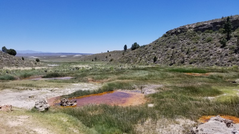
Little Hot Creek, which used to be a remote retreat location near Mammoth Mountain, is now a site you might see at Yellow Stone National Park. As you follow this trail up the creek, the water's colors start to get very wild, eventually becoming something you would see only down a wood walkway in Yellow Stone. This area used to allow people to sit near these hot springs in the warm/hot water, but with the current spike in temperatures in the Mammoth Caldera, the water is now too hot for a human to touch. So if exploring the area, keep that in mind.
Since this is in BLM land, there are many great places to camp around the trail. But if you can choose, check out the camping near the hot springs to the south.
Updated: 10/15/2024
Humbug Road
Glenburn, California
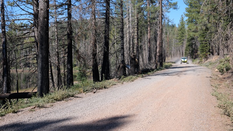
Humbug Road, aka Humbug Summit Trail, located in Northern California, is an easy overland trail from Paradise, CA, to Lake Almanor. Today, the trail is often used for logging, but in the 1850s, this area was booming with people looking for gold. As you travel east, you climb up Humbug Summit, reaching 6718 feet above sea level before gradually lowering down the other side at the lake at 4600 feet. Along the route, you will be entrenched in dense forest, burn scars, and Humbug Valley, where you can find the famous Humbug Valley Soda Springs, once home to the Maidu Indians. Since then, the area has become a thriving town, only to burn down in 1859, 1871, and again in 1917. Another name this valley had was Dogtown. Today, you will find several farm homes and the cemetery holding the valley's pioneers.
People often consider this road a primary pathway through the mountains and use it for snowmobiles during the winter months. With all the alternate paths leading off, this trail is a great way to experience the area and the connecting trails.
Since this is a maintained dirt road, any offroad vehicle can easily do this trail.
There are plenty of places to camp along the road that can fit any size group. However, some areas are private property, so make sure you are on public land.
Updated: 03/10/2026
McCain Spring
Agua Caliente Springs, California
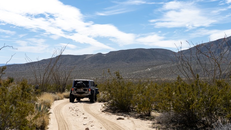
The now-dry McCain Springs at the trail's western end was once Fish Creek's headwater. The trail is lined with tall ocotillo cacti, which make for a stunning drive. Snuggled back in the rocky hillside at the trail's end is a great camping spot large enough for five vehicles near the now-dry spring. This is mountain lion country, so understand the risk.

Updated: 04/09/2024
Lotus Mine Road
Ballarat, California
Just outside of Death Valley National Park and within Goler Canyon, a short, twisty mining road leads to an expansive view of the Panamint Valley to the west. This nicely graded road snakes its way up the mountainside, much like Shafer Trail in Utah, passing by decrepit cabins, active mines, and a massive, craggy 4000' monolith.
Updated: 02/27/2024
Little MC - Johnson Valley
Yucca Valley, California
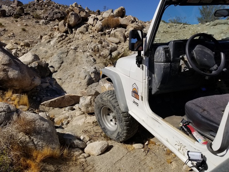
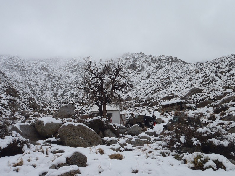
What's better than steep loose hill climbs, tight v-notch waterfalls, massive rocks, and extreme off-camber rock crawling. That's right, nothing. Little MC is a connector trail that starts next to SOS and Turkey Claw. This sweet little fun trail provides all of the fun extreme 4x4 action that Johnson Valley OHV brags about. The trail leaves the comforts of Lazy Days Trail and you are instantly introduced to a body damage, axles breaking, mind binding off-road obstacles trail that seems to never end. Not far past the intense v-notch waterfall that will for sure destroy at least one quarter panel is a steep and extremely loose hill climb waiting for you to roll over backwards. If you can make it past those two obstacles you are on the easy stretch, well if you want to call it that. Thus the next time you are in Johnson Valley, and you are looking for some good old fashion extreme rock crawling and offroading, check out Little MC.
Updated: 03/24/2023
Wood Canyon
Furnace Creek, California
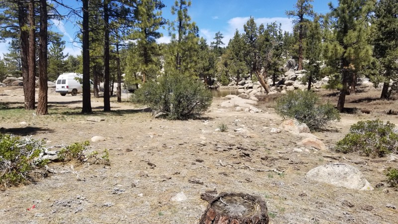
Woods Canyon, situated on the west side of Butte Valley, is this rarely visited mining camp from the early mining area of Death Valley. Because of its remote location, many of the items left behind by the miners remain today, making this a must-stop when exploring the area. At the end of this scenic canyon is Wood Camp, with its cabin and artifacts.
Updated: 06/09/2023
3N19
Big Bear Lake, California
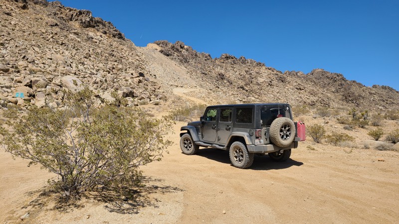
If out in the forests of Big Bear on an overlanding trip and wanting to find a dispersed camping spot that is unique and away from people, check out 3N19 near Holcomb Valley off 3N32 - Union Flats and 3N16 - Holcomb Valley Road. This small area is often passed since most people don't even realize it is here. On the west side of the area is an old damn that was used back in the gold mining era which to this day still retains water. So if out in the Jeep or Toyota, you have the family or friends and want to get away, check out this spot and disappear.
Updated: 10/15/2024
West Pipeline Road
Bell Mountain, California
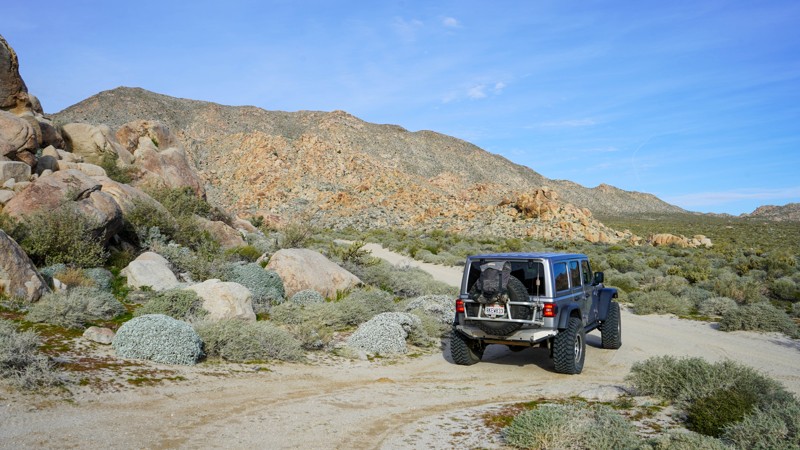
West Pipeline Road is an excellent road for first-time offroaders to experience the open desert on an easy trail. Along the way is a single hill to climb that rewards drivers with expansive views of the surrounding desert and distant mountains. West Pipeline Road once completed a path over Stoddard Ridge to connect to Highway 247 and reach the Sawtooth Canyon BLM campgrounds. Now a massive landslide has blocked the road at the top of the ridge, closing this once convenient access. Still, there are many wide and flat dispersed camping locations along this route, but these are open areas and exposed to the sometimes harsh winds. Several intersecting trails disappear into the surrounding hills, often to mines and prospects, and invite exploration.
Updated: 03/22/2023
Mortero Palms - Anza Borrego
Ocotillo, California
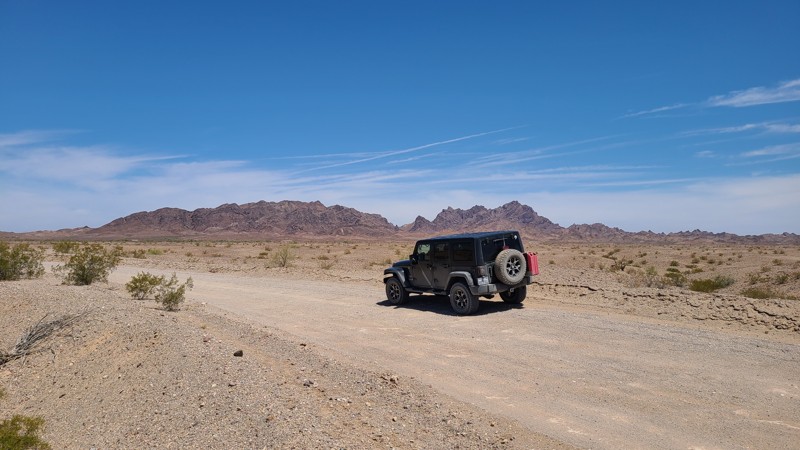
The Jacumba Mountains shield this area from weather and afternoon sun. It made for more hospitable dwelling lands for the Kumeyaay, who made this area home for over a thousand years. The palm grove up this canyon provided them with material for structures and clothing. Today Motero Palms delivers a beautiful hike to the palms and a sought-after camping opportunity that is not well rivaled within the park.
Updated: 10/15/2024
Walters Camp Road
Paymaster Landing, California
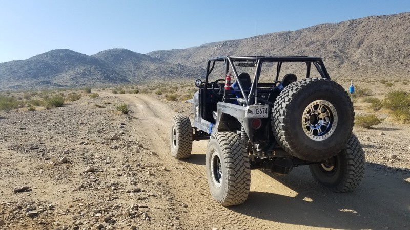
Walters Camp Road progresses from the scorching desert to the cool, inviting blue water of the Colorado River. Next to the river bank is Walters Camp, an improved camping area managed by the BLM. A little further along is an existing dispersed campsite. While signs at the start of Walters Camp Road suggest this is a rough road needing four-wheel drive, the route can be driven by most passenger vehicles.
Updated: 10/15/2024
Northern Canyon to Fissure and Aftershock
Johnson Valley, California
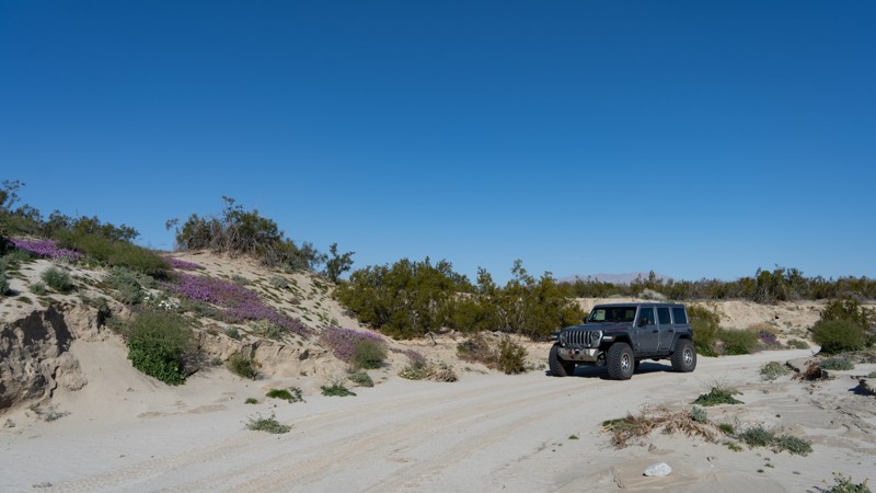
This canyon runs through the north part of Johnson Valley and connects to Fissure Mountain and Aftershock.
Even though people sometimes camp on the wash edges, camping here isn't ideal since there's lots of traffic in the area. If tent or RTT camping, go over the small hills to the north. But most people camp on Means Dry Lake and the surrounding area.
Updated: 03/10/2026
Bow Willow Creek Road
Mesquite Oasis, California
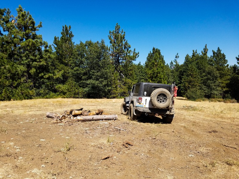
Bow Willow Creek is an easy trail that cuts over to Corizzo Wash. Besides the views of the badlands of Anza-Borrego off in the distance to the north, wildflowers attract visitors to this quiet trail. The colorful flora is usually present in late winter or early spring.
Camping is abundant along the trail. Many sites can accommodate larger vehicles or groups.
Updated: 01/15/2019
Horse Mountain
Upper Lake, California
This is one of the most fun easy 4WD routes in the southern Mendocino National Forest. A perennial favorite with fans of dispersed camping, it passes quite a few cleared level spots in the forest, many with simple fire rings and some with views. This trail is simply a blast to drive; although it has occasional erosion gullies that need to be navigated with care, much of the rest of the route is surprisingly smooth, and lacks the punishing washboard bumps that are so common elsewhere in the MNF. After the final short, steep hill to the top of Horse Mountain, you'll find that trees around the summit clearing block views down to the valley; however it is still a great spot for a picnic lunch.
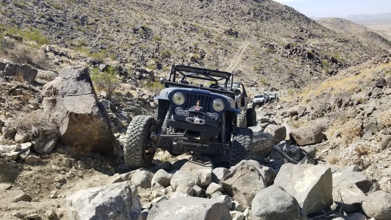
Updated: 12/17/2025
Nightmare
Landers, California
What might be a Nightmare for some, the legendary rock crawling trail in Johnson Valley known as Nightmare is a tough rock crawling trail. Full of rocks about 3-feet around, this trail is going to test any off-roader that is looking to push his vehicle to the max. Did we forget to mention a 7-foot waterfall? Now what really gets offroaders crying isn't the rocks but how narrow the canyon is which if one mistake happens, you will end up in the side of the canyon wall or into a large boulder that is just happy to rip off a quarter pannel to give you jeep or Toyota its first body damage. So if you are heading up Claw Hammer, and want to continue the fun, check out Nightmare in Johnson Valley California, and see what your rig can do.
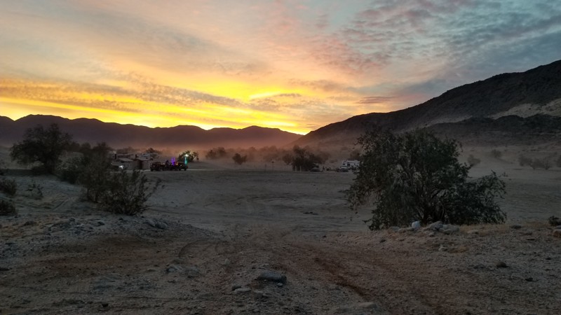
Updated: 08/17/2026
Main Street - Ocotillo Wells SVRA
Ocotillo Wells, California
Main Street is the primary entrance into Ocotillo Wells OHV. Main Street is a well-groomed road perfect. This trail passes a lot of campsites. The southern side is mostly for RVs and tents. There are restrooms with showers. Bring your quarters for the showers. The northern side is more dispersed camping where RVs wouldn't be advised.
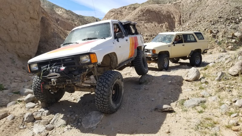
Updated: 06/05/2022
Rocky Canyon
Salton City, California
Rocky Canyon is a quick trail that is located in the next canyon over from Kayla's Mountain. Being that both of these trails are so close and both relatively short in length, this makes them a must hit on a weekend out in Ocotillo Wells, Truckhaven Hills, or on your way to Anza-Borrego Desert State Park.
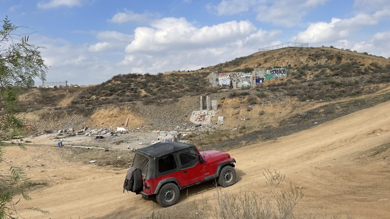
Updated: 10/15/2024
Temescal Tin Mine Trail
El Sobrante, California
Temescal Tin Mine Trail travels through the heart of Eagle Valley, an area just east of the Lake Matthews reservoir. This trail is mostly hard-packed dirt with deeply-rutted sections that have formed after heavy rains. Vehicles with 2WD or AWD and high clearance will be able to drive the trail during the dry season. But, after a good rain, even lifted 4WD vehicles should think twice before attempting the trail, as some of the muddy ruts can quickly bury you up to your frame. Aside from the entertainment this twisting and rutted trail provides, there are also multiple old mines and remains of buildings worth checking out.
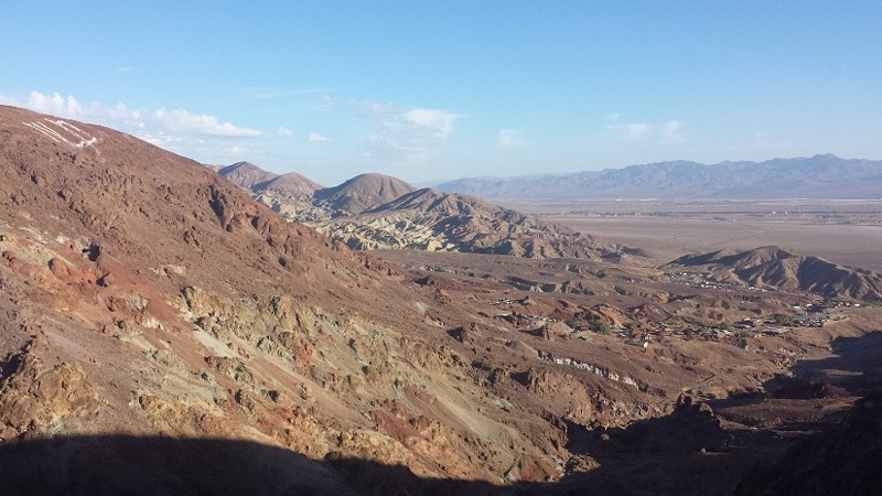
Updated: 11/16/2022
Wall Street Overlook Trail
Barstow, California
Above Wall Street Canyon is a great little trail that has some amazing views and great exploring. This old miners route passes by the Saint Louis Mine along with hundreds of other mines in the area. In addition to the amazing view, the trail offers difficult obstacles such as some very steep hillclimbs on narrow paths.
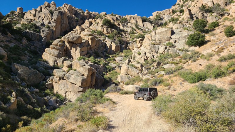
Updated: 04/22/2026
Grapevine Canyon Road
Fizzben Heights, California
Grapevine Canyon Road provides a perfect opportunity to enjoy an easy offroad trail, experience incredible views, and enjoy convenient mountain camping, all while escaping the desert heat. Beginning in a sandy wash of the Lucerne Valley desert floor, Grapevine Valley Road winds 3000 feet up the north face of White Mountain to cooler temperatures and spectacular 180-degree views of the Lucerne Valley and onto the distant Granite and Fry Mountains. Also, the surrounding terrain during the climb offers a unique landscape dotted with fascinating massive granite boulder formations called inselbergs. At about the eight-mile mark is the border of the San Bernardino National Forest, where several marked Forest Service trails and dispersed camping can be found.
This is an easy trail, wide and flat, with a reasonable grade and generally with room for two vehicles to pass each other. A two-wheel drive vehicle with some clearance would handle this road, but once reaching the National Forest, many of the connecting trails will require a high clearance 4x4.
Several dispersed campsites are located by the road, with the best sites next to granite boulder formations that border the road. Near the trail's northern end is an unmarked spur leading to the base of a stunning granite boulder formation and a great dispersed campsite. The spur continues and once connected to Grapevine Canyon, but has been destroyed by weather and is now impassable.
The Horse Springs Spur, just one mile from the southern end of the Grapevine Valley Road, leads to the eleven-site Horse Springs Campground and offers a secluded escape surrounded by a high desert environment in a cluster of juniper and pine trees that offers sweeping mountain views in all directions, tree-shaded campsites, picnic benches, fire rings, and pit toilets, a group ramada and picnic area. Campfires are prohibited in the National Forest.
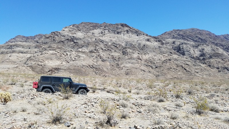
Updated: 06/05/2022
Kelso Road
Baker, California
This area of the desert is desolate and exquisitely quiet except for the sound of a lonely wind and your own footsteps. Contributing to the isolation is the Mojave Wilderness which you enter after passing Mojave Road. Kelso Road then follows a narrow corridor that allows motor vehicles only on the designated road and with the Mojave Wilderness on either side. The wilderness designation is to minimize the human impact by preventing access to motor vehicles.
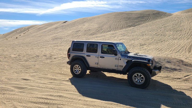
Updated: 01/05/2023
Sand Dam and Pass
Brawley, California
In the sandy hills of the Superstitions is one of the only notable landmarks of the area, Sand Dam. It is a giant sand wall deep in the hills and is one of the natural wonders of the area. This 150+ foot tall sand wall is a popular gathering spot for people to meet up and enjoys the area. Others use this as the cut through to get over to the rock crawling in the northern hills including connecting you to Voodoo and the other intense rock crawling trails of the area.
So if you are in the area, looking for a place to hang out or a place to let the day pass by, head over to Sand Dam and have some fun.
Updated: 06/29/2026
Funnel Lake
Peterson Mill, California
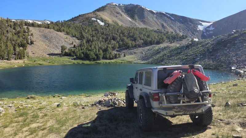
Trail 32S304 is a short 5-mile spur that leads directly to Funnel Lake, branching off from the main Coyote Flat route near the high-altitude plateau above Bishop, California. This lower-level intermediate trail is relatively narrow, rocky, and uneven, requiring a capable high-clearance 4x4 vehicle. While it’s not very long, the terrain includes loose rocks and minor obstacles that can challenge less-experienced drivers. At the end of the trail lies Funnel Lake, a serene alpine destination surrounded by granite peaks and meadows, sitting at over 10,400 feet in elevation. This spot is a favorite for dispersed camping due to its remote feel, peaceful setting, and stunning views, though it offers limited shade and no services. Visitors should be prepared for cold temperatures at night and the potential for sudden weather changes. Snow can linger along the trail through June, making the most suitable time of year to visit July through September. Trail 32S304 is an ideal add-on for those already exploring Coyote Flats and looking to spend the night lakeside in the Eastern Sierra wilderness.
Updated: 02/17/2025
Sorrel Trail
Apple Valley, California
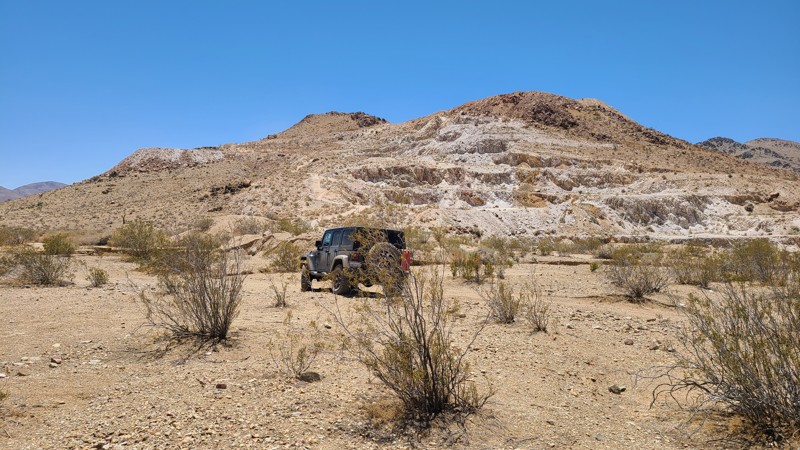
Sorrel Trail is a rocky but easy trail typical in this part of the Lucerne Valley desert. The hardest part of driving Sorrel Trail is finding it. There are so many intersecting and alternative routes that staying on the actual trail is difficult even with a GPS. The trail is often re-routed along a wash providing a smoother path. A very nice feature of this trail is that it is accessible directly from I-15. Dispersed camping is allowed when following BLM camping rules that ask campers to use previously disturbed sites.
Updated: 06/05/2022
Indian Spring Road
Baker, California
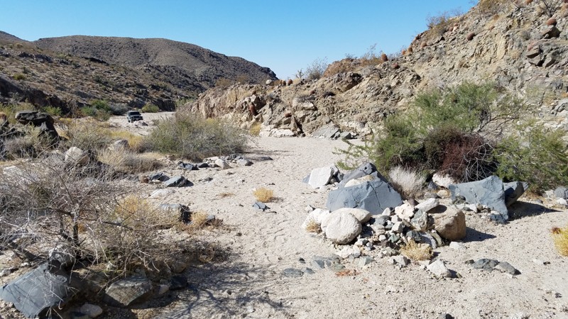
The Mojave National Preserve was established in 1994 and at 1,542,776 acres is the third-largest National Park. Indian Spring Road follows a narrow corridor bounded on both sides by wilderness areas that restrict vehicles and the MNP to remain in a natural state by minimizing human impact.
Indian Spring Road will guide you through these protected areas, with views of surrounding hills while intersecting hiking and horseback trails and passing an abandoned mine a short hike off the road. The road ends at a sandy wash at a beautiful narrow canyon which is the trailhead to an extensive network of trails in the Lava Cones Cinder Lava Bed area of the MNP. This is an easy road for any skill level, but a 4-wheel drive is needed to plow through the deep sandy areas.
Dogs are welcome in the MNP but must be kept on a leash.

Upgrade your Membership
Unlock all of the details on every Trail Guide and Scout Route.
Start a 7-day Free TrialBrowse Trails in California by City
Browse every California city with offroad trail guides.
Community
Partners

