




By clicking "ACCEPT", you agree to be the terms and conditions of each policy linked to above. You also agree to the storing of cookies on your device to facilitate the operation and functionality of our site, enhance and customize your user experience, and to analyze how our site is used.
California Off-Road Trails
415
Total Trail Guides 392

4106
Detailed Waypoints 524
Try a Free 7-Day Trial and unlock it all
Start a Free Trial Most Recent Trail Reviews
Rated 5/5
Open
Visited: 09/19/2026
Great beginner trail here for those looking to try out some rockier sections. Starting to trend a little closer to a rating of 4, but still a 3 I’d say

R
Rob
Rated 5/5
Open
Visited: 09/19/2026
I entered this trail from Freeway Ridge 4WD trail (31E77) and ran Black Gulch Jeep Trail up to Rancheria Road, turned around, and ran Black Gulch Jeep Trail all the way down to Keyesville Road in Lake...



Daniel Macioce
Rated 4/5
Open
Visited: 09/19/2026
Took out the vstrom 800de today and this thing was tough for someone like me who is pretty new to offroading motorcycles. I ended up turning around about half way because I wasn't sure if I would be a...
SK
sean kotrola
No Rating
Open
Visited: 09/19/2026
The trial marked by the app here is very difficult with all the recent deep washouts. Proceed at your own risk if you are by yourself with unmodified rigs. However the bypass is maintained and should ...
TB
Timmy Boby
Rated 5/5
Open
Visited: 09/18/2026
Very friendly fire watch tower volunteers and fantastic 360 degree views up top
R
Rob
Rated 5/5
Open
Visited: 09/18/2026
Great views and an easy drive through. Be sure to take the road up to the fire watch tower
R
Rob
Rated 5/5
Open
Visited: 09/17/2026
ran the trail twice last weekend, this is such a better way to go than 3n16...


Josh Noesser
Official Crew
Rated 5/5
Open
Visited: 09/16/2026
It's been 6 years since I visited this trail. It has seen some wear, but the overall difficulty is about the same, probably a bit higher now, as Waypoint 11 has suffered from traffic. Waypoint 11 ha...

Robert
Official Crew
Rated 5/5
Open
Visited: 09/16/2026
Started off from polique canyon at way point 13 and headed east. Its a great trail for most of it with scenic views. A good amount mud puddles that were fun as hell to drive through. Some I decided to...


VM
Victor Manuel Garcia
Rated 5/5
Open
Visited: 09/16/2026
Used this trail to get to Holcomb valley. Super easy and a nice drive, I can see how in the winter it can be a bit more challenging with rain and snow.
VM
Victor Manuel Garcia
No Rating
Open
Visited: 09/16/2026
Mostly easy, but heading NE there's a rock step down just a few miles in that *requires* high clearance. Banged the rear end of my 4runner despite having a 3" lift and 33" tires. A stock SUV would alm...



Carlos H.
Rated 5/5
Open
Visited: 09/15/2026
It's been over 4 years since I was last on this trail, and I was very happy to see that the old car was still there. Some research suggests that it is a 1939 Plymouth Road King 5-window coupe.


Robert
Official Crew
Rated 5/5
Open
Visited: 09/14/2026
A fun little detour off Burns Canyon. I ran this alone and stopped a few times to spot; I also used my grill camera in several places. I brushed my sliders a couple times, but no real issues. Definite...
EB
Ed Boyd
Rated 5/5
Open
Visited: 09/13/2026
easy perfect beginner off roader trail with great views and water crossing during the winter.



Dex Offroad
Rated 5/5
Open
Visited: 09/12/2026
Fenders Ferry kept giving me reasons to slow down and enjoy the ride. I loved winding along mountain ridges, following creeks, and catching glimpses of Shasta Lake's fingers tucked between the hills. ...



Rose Meirs
Official Crew
Rated 5/5
Open
Visited: 09/11/2026
super easy trail over looking the valley and 15fwy. only bad thing is that its super windy.

Dex Offroad
No Rating
Partially Open
Visited: 09/09/2026
Although you can cross the creek from Fordyce if you want, Committee Road is still closed back to the I80, so this has no exit, and you'll be forced back onto Fordyce.

Ryan Boudreau
Official Crew
No Rating
Temporary Closure
Visited: 09/09/2026
Road is still closed. I thought i read somewhere an expected 2030 opening, but can't confirm that info.
Ryan Boudreau
Official Crew
Rated 5/5
Open
Visited: 09/09/2026
This is an awesome trail . This trail is moderate with a few obstacles to make it fun. It also has incredible scenic views with a little bit of shelf roads. You can watch the full video on my YouTube ...


Dex Offroad
Rated 5/5
Open
Visited: 09/07/2026
Pretty spot on with the rating, was a little tough today with the rain but made it through in my 2023 Gladiator Overland with 2.5” lift and 35s with autolynx sway disconnects.


CT
Christopher Tanton

Shaan Heugly
Rated 5/5
Open
Visited: 09/06/2026
Drove reverse from what’s listed to the jasper trail. This is a easy but enjoyable trail with plenty of places to camp at the end of the
Shaan Heugly
Rated 5/5
Open
Visited: 09/06/2026
Bit washed near the top but nothing difficult to navigate. I headed from jasper to the highway and near the highway it did narrow. I got through with my Tacoma but there are a few pinch points I could...
Shaan Heugly
Rated 5/5
Open
Visited: 09/06/2026
Mostly easy trail but when going south to north, I did need to use 4Lo on some of the inclines with a loaded Tacoma
Shaan Heugly
Rated 4/5
Open
Visited: 09/05/2026
It had been five years since I last drove this trail. The long, annoying stretches of moguls are still there, and water erosion has added a touch more difficulty in places. It was nice to see the old ...


Robert
Official Crew
Rated 4/5
Open
Visited: 09/05/2026
This is a nice trail with great views for any 4WD with ground clearance as some sections have ruts that are 12+ inches deep. Things were very dry on my visit, so airing down the tires helped to smooth...


SG
Steve Graham
Rated 3/5
Open
Visited: 09/05/2026
From waypoint 7 to 10 the water damage is pretty bad. Waypoint 13-16 it is rocky. Nothing crazy but a few spots where patience and the right line will go a long way. Good clearance and 4x4 recommended
N
Noah
Rated 5/5
Open
Visited: 09/05/2026
Easy trail with an awesome view at the end. There were three lookouts in the fire tower and each one was super friendly and informative. Must see trail!


N
Noah
Rated 5/5
Open
Visited: 09/05/2026
fun easy trail, Butler Peak lookout is the highlight imo
N
Noah
Rated 5/5
Open
Visited: 09/04/2026
Trail was very well maintained. Thanks for the Fresno 4x4 club. It was very cold at night, into the 30s. We were on the trail two nights, 3 days and two nights at voyager rock due to a breakdown fr...
JD
John Drago
No Rating
Open
Visited: 09/04/2026
Beautiful area, but the trail itself wasn’t very interesting. I’d rate it around a 3/10, with a couple of optional sections that might push a 4.
There’s tons of dispersed camping throughout the area,...


Ryan Smith
Rated 5/5
Open
Visited: 09/01/2026
awesome trail with a lot of water crossings. just be careful of sxs and bikes since its a OHV area.

Dex Offroad
Rated 5/5
Open
Visited: 09/01/2026
Super easy trail and you can over look the high desert. Trail ends at an awesome view point.

Dex Offroad
Dex Offroad
Rated 5/5
Open
Visited: 08/31/2026
This trail is much harder than it used to be. It’s just as breathtakingly beautiful as ever. You are on your own out there. Fuel, parts, spare tire. It’s days from help if you need it so go prepared. ...

CP
Christopher Pepin
No Rating
Open
Visited: 08/30/2026
Ran this trail today and had fun. Easy trail with great views. I wouldn’t hesitate to take an experienced driver in a stock jeep up this. There are lots of trails in this area and way to get off the m...

CP
Christopher Pepin
No Rating
Open
Visited: 08/29/2026
Trail was in good shape, a little less sand makes the boulders a little bigger. People have made the bypass around the sluice a little bit longer than it used to be you miss a lot of the good rocks. O...
C
Campbell
Rated 5/5
Open
Visited: 08/29/2026
An often overlooked and amazing trail. It’s about the length and difficulty of the rubicon if you don’t hit any of the bypasses on the rubicon. We had a group of 3 lj on 40s, a jku on 42s, and an Xj o...
CP
Christopher Pepin
Rated 4/5
Open
Visited: 08/27/2026
This is most definitely a hard trail. Is the entire thing hard? Not at all. The western 7 miles are a hard packed dirt road. Then you run into 3 straight, large boulder obstacles where its clear many ...


Ryan Boudreau
Official Crew
Rated 4/5
Open
Visited: 08/27/2026
Easy drive with beautiful views and . . . Buck Rock! Lots of camping south of Buck Rock, but camping north of the Rock isn't as plentiful. There are a few others on the north, but there's one here: 36...


Carlos H.
Rated 5/5
Open
Visited: 08/26/2026
I really enjoyed this road. It's super scenic with the sierra's in the background, the white beaches, and the columns are really cool. The road is not anything challenging with a high clearance vehicl...


Ryan Boudreau
Official Crew
Rated 4/5
Open
Visited: 08/25/2026
Fun area. The hot springs are pretty popular and well-known, and because they are small, you'd better hope you are one of the first people there that day if you want to get in. The route is easy, exce...


Ryan Boudreau
Official Crew
Rated 4/5
Open
Visited: 08/25/2026
I liked this trail a lot, but it's not quite a 5-star trail for me. I feel like it's a little overhyped. Is it scenic? Absolutely! Is there tons of great camping? Totally! Is it a crazy busy? You Bet!...


Ryan Boudreau
Official Crew
Rated 4/5
Open
Visited: 08/25/2026
Road to the hot springs parking area is easy. There are regular passenger cars there. The hike is easy too. The tub itself is super scenic, but know that they are not hidden gems by any means and we'l...

Ryan Boudreau
Official Crew
Rated 3/5
Open
Visited: 08/25/2026
It's a simple road, but definitely very scenic and really only used to get from Convict to Laurel Lakes or Mammoth. Road is suitable for anything with decent ground clearance.


Ryan Boudreau
Official Crew
Rated 2/5
Open
Visited: 08/25/2026
Simple dirt road used to access other types of recreation. Many signs remind you that you aren't allowed to camp along it except at the campground.


Ryan Boudreau
Official Crew
Rated 3/5
Open
Visited: 08/23/2026
Simple, straightforward dirt road used for fishing access.


Ryan Boudreau
Official Crew
Rated 5/5
Open
Visited: 08/23/2026
Amazing views at the top of this trail. Erosion looks to be making this trail harder than it probably originally was. Most of the hardest spots are getting bypasses created around them. A short, st...



Dan Jurgella
Rated 5/5
Open
Visited: 08/23/2026
Toad Lake Road 40N64 was a long, slow, and wonderfully remote drive into the Trinity Divide. The changing mix of old pavement, dirt, loose rock and deep ruts kept the journey interesting, while forest...


Rose Meirs
Official Crew
Rated 5/5
Open
Visited: 08/23/2026
North Fork 41N53 was a fun backcountry drive through the forest west of Mount Shasta. Early in the trip, a wrecked motorhome beside the road provides unforgettable confirmation that you are on the rig...


Rose Meirs
Official Crew
Most Popular
Updated: 06/05/2022
Thermal Canyon Road
Indio, California
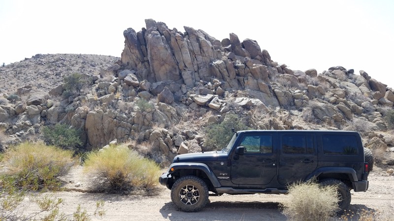
Thermal Canyon Road is on the southern edge of Joshua Tree National Park and provides pristine desert scenery. This area is protected and largely untouched since Joshua Tree National Park became a protected area in 1936 when it first became the Joshua Tree National Monument. Thermal Canyon Road begins on the sandy desert floor and rises slowly while meandering 6 miles through rocky canyons and opening to views of the distant Hexie Mountains. Far from anywhere, this road provides solitude, quiet, and no phone service. Nestled in a hot, dry desert caused by the rain shadow of the San Jacinto Mountains to the west, you will be surprised at the abundance of life that has made this particular canyon their home.
Updated: 06/05/2022
Schneider Cow Camp
Kyburz, California
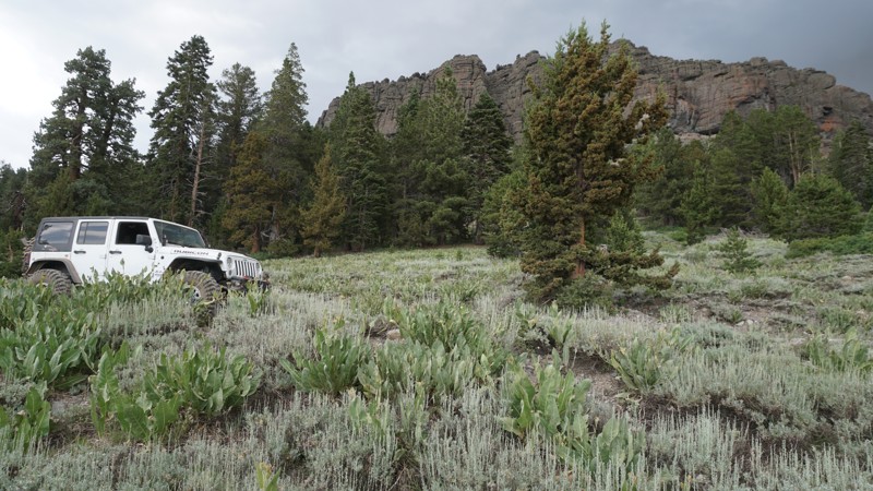
Schneider Cow Camp, also known as Schneider Camp 4WD Trail, is a scenic and easy trail in the Eldorado National Forest. This easy dirt road passes multiple forest campsites, sits under the Little Round Top Mountain range, and overlooks Caples Lake to the south.
Wheelers in lifted 4x4s will find this a necessary connector to or from Strawberry Pass. At the same time, first-time off-roaders can enjoy this as a mellow out and back trail starting from Caples Lake and ending near the open mountain meadow at Schneider's Camp, at the north end.

Updated: 08/08/2026
Hunter Mountain Road
Teakettle Junction, California
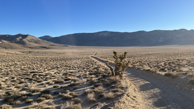
Hunter Mountain Road, also known as Hidden Valley Road, begins at Teakettle Junction, just north of Racetrack Playa, then passes through Lost Burro Gap and into Hidden Valley. While not the largest empty expanse you’ll come across in Death Valley National Park, Hidden Valley reminds you just how isolated you are. Then, in a dramatic change of scenery, Hunter Mountain Road takes you from the floor of Hidden Valley Dry Lake at 4,626 feet all the way past 7,100 feet of elevation. The only real challenges posed by this road are the sandy lake bed. In the colder months, expect snow and ice on the trail once you reach higher elevations. There are no designated campsites along the trail, but plenty of places along the route could accommodate a few vehicles for the night.
Updated: 04/24/2026
Goat Canyon Trail
Dos Cabezas, California
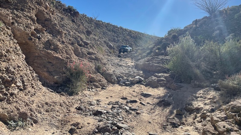
Goat Canyon Trail is a challenging trail in the southern portion of Anza Borrego Desert State Park. The terrain varies between soft sand, small rock gardens, a rocky canyon, and a heavily rutted dirt hill. Maps show that the hill is one-way and should only be driven downhill. 4WD is necessary, and larger vehicles will have difficulty fitting between the narrow rock walls in the small canyon portion. There are a few large rocks in the trail and a small ledge. The most challenging part of this trail is a steep hill composed of loose sand and dirt. The hill veers into a left turn with large ruts. The hill requires caution because the ground is extremely loose, and it is easy to slide off the edge while trying to descend and turn left. Airing down is highly recommended. The trail ends at Jojoba Wash, which you can take to Highway S2.
Dispersed camping is allowed throughout Anza Borrego, although no suitable campsites are directly off this trail. There are large open areas where multiple vehicles could camp once you get to Jojoba Wash, and a few smaller campsites are suitable for 1-2 vehicles off Dos Cabezas road.
Updated: 05/13/2023
Bull Frog
Lucerne Valley, California
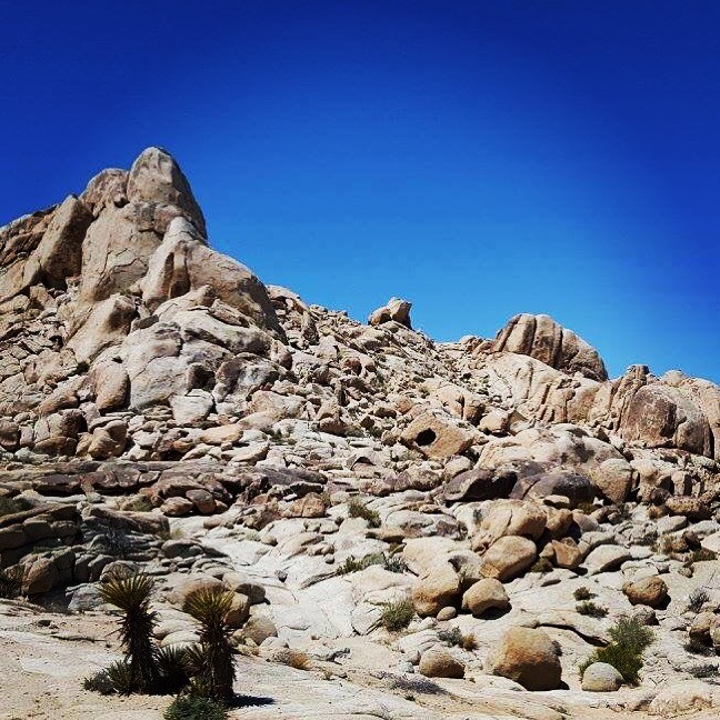
Many people know of Johnson Valley for the famous King Of Hammers and the Hammer Trails, but until recently many people were unaware of the western part of Johnson Valley. Cougar Buttes is a offroading paradise all packed into a small 4x4 area. One such off-road rock crawling trail in this small area is Bull Frog. The trail got its name due to several rocks that took on the look of a bull frog. The trail itself is a an epic difficult rock crawling trail full of severe and extreme obstacles that will put any Toyota and Jeep to the test. The question is can they make it without body damage? Well that is something to prove if possible. While out on this Jeep Trail expect several waterfalls, large rock obstacles, and narrow v-notches. This legendary trail really is everything in a small package. On top of some legendary offroading, the area is perfect from everything from RV camping, to overlanding, to tent camping. Thus you can make a day trip of it or weekend adventure. So pack the camera, and prepare yourself for one awesome time on the legendary Bull Frog trail near Lucerne Valley, California.
Updated: 06/08/2024
3N21 – Baldy Mesa Road
Fontana, California
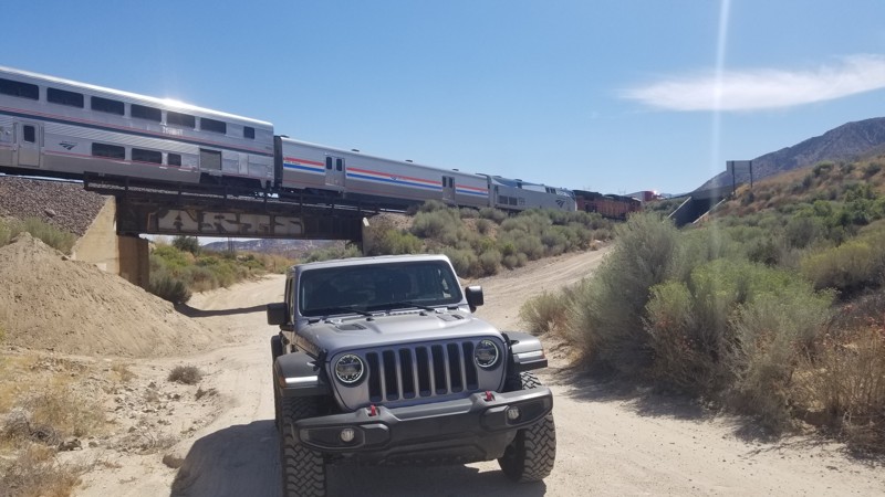
If traffic is bad on the 15 in Cajon Pass, maybe think about taking an alternative route down the dirt path that is right next to the freeway. 3N21 Baldy Mesa or Santa Fe Road is a nice little dirt road that can easily be traversed in any 2wd high ground clearance vehicle. Next time you're looking for a fun-cut or just wanting to get off the asphalt, 3N21 might be worth a run.
Updated: 05/23/2024
Dolomite Mine - Anza Borrego
Ocotillo, California
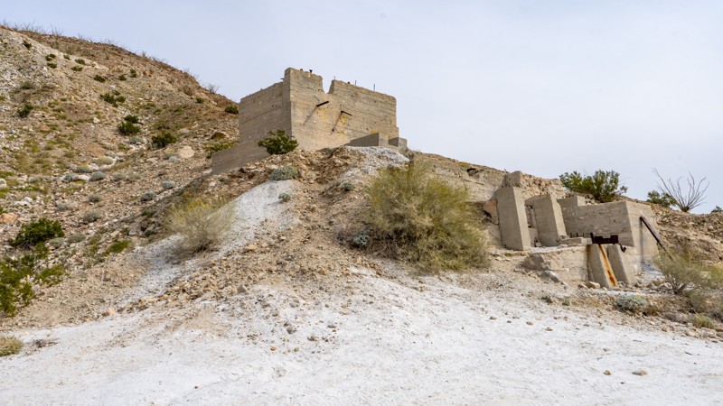
The Dolomite Mine is a great stop when traveling through Anza Borrego State Park. Once a Dolomite Marble and Magnesium Calcium Mine located in the Coyote Mountains that operated from the 1920s until the 1960s. Today, visitors can explore the remnants of the old mine and get a sense of what life was like for the miners who once worked here. The site features a number of rusting metal structures, abandoned mining equipment, and other artifacts that provide a window into the area's mining past. These old structures is a great place to explore and provides a great overlook of the South East corner of the park. The trail is one of the harder trails in the area, so when traveling this trail, make sure your vehicle is in good running order.
Overall, the Dolomite Mine is a fascinating destination that offers a unique glimpse into the history and natural beauty of Anza Borrego. Whether you're interested in exploring the area's mining past, off-roading through the scenic landscape, or simply taking in the stunning desert vistas, this historic site is well worth a visit.
Updated: 07/12/2024
2N56 - Sheep Canyon
Fontana, California
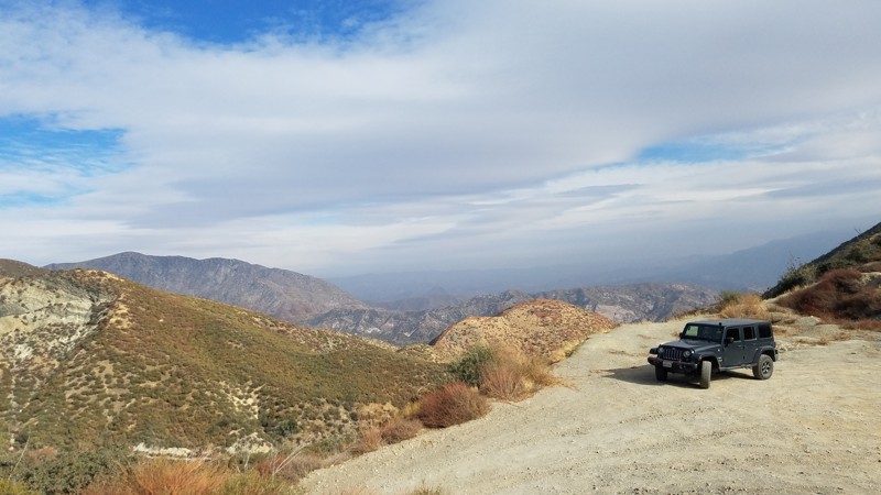
2N56 Sheep Canyon lies entirely within the San Bernardino National Forest. At 2 miles long, this trail provides a shortcut over the Lower Lytle Creek Ridge and connects Lytle Creek Road and Swarthout Road. While short, there are still spots to enjoy the vistas of the surrounding area, especially from its 3800 feet crest. It is also the only road to be able to reach the western trailhead for 3N31Y Upper Lytle Creek Divide
The road is flat and well maintained and an excellent trail for novice off-roaders to get their wheels dirty. Your dog can also enjoy the trail when kept on a leash.
Updated: 02/24/2024
Tectonic Gorge - Ocotillo Wells SVRA
Salton City, California
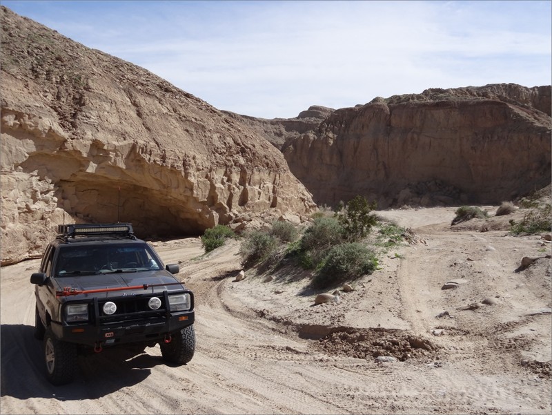
Overlapping San Diego and Imperial Counties nestled between Anza Borrego Desert State Park and the Salton Sea is the Ocotillo Wells State Vehicular Recreation Area; an 85,000-acre playground for off-road enthusiasts. Some of the popular attractions in the park are Truckhaven, the 4x4 Training Area, the Badlands, Pumpkin Patch, Shell Reef, Devil's Slide, and Blowsand Hill among many others. There is a network of dirt trails and washes that sprawl throughout the park. The main trails are marked with street signs at every intersection, and trail markers at every 1/10th mile. Please use caution while traveling through the park keeping mindful that other vehicles (such as dirt bikes, quads, and buggys) can be zipping through.
Updated: 12/17/2025
Jack Hammer
Yucca Valley, California
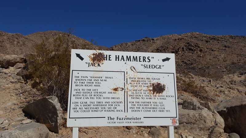
If you want crazy hard and people say you are a bit insane, then Jack Hammer is the trail for you. Known throughout the off-road industry as one of the single hardest off-road trails in the world, Jack Hammer will not leave you disappointed about being challenged. Many have tried, and many have failed even in the most built rigs. This 4x4 trail is going to bend, break, and destroy the common failure items and things you didn't even know that could get damaged. Have your pocketbook ready and a solid recovery plan because it is rare people leave this trail untouched. This trail is only for the most experienced with a very built rig and strong roll cage. The rating of this trail is well past difficult and is above severe in the extreme area. Do not attempt this trail alone and do not attempt this trail unless you have recovery gear, spare parts, and a group of other offroad extremists that are looking for a day of fun in Johnson Valley, California.
Updated: 02/19/2023
Painted Canyon
Mecca, California
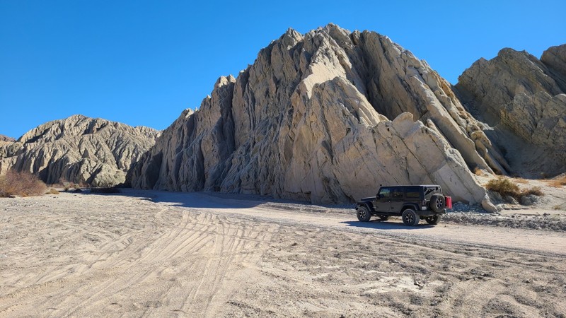
Painted Canyon Road guides you along a sandy wash through a sandstone canyon whose sides have heaved up over the millennia to expose spectacular colors washing down the canyon walls. Rain and weather have carved deep vertical canyons in the soft sandstone creating an infinite tapestry of narrowing shadowed canyons and shapes. The road follows a motor vehicle access into the Mecca Hills Wilderness, a 26,000 acres protected area preventing motor vehicle access to maintain its primitive state. Painted Canyon Road is located between the Salton Sea, visible to the south, and the Joshua Tree National Park to the north. The end of the road arrives at popular hiking trails that lead deeper into the wilderness. There are many dispersed camping opportunities along the way, including a designated camp area at mile four.
Updated: 04/01/2024
Olla Wash - Anza Borrego
Ocotillo, California
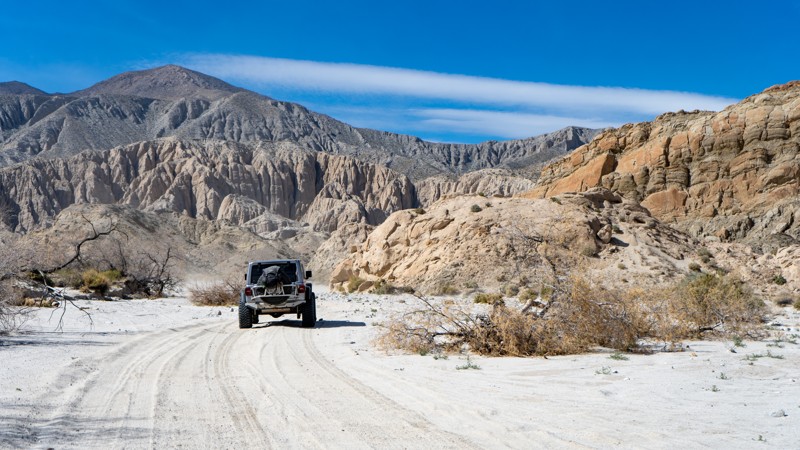
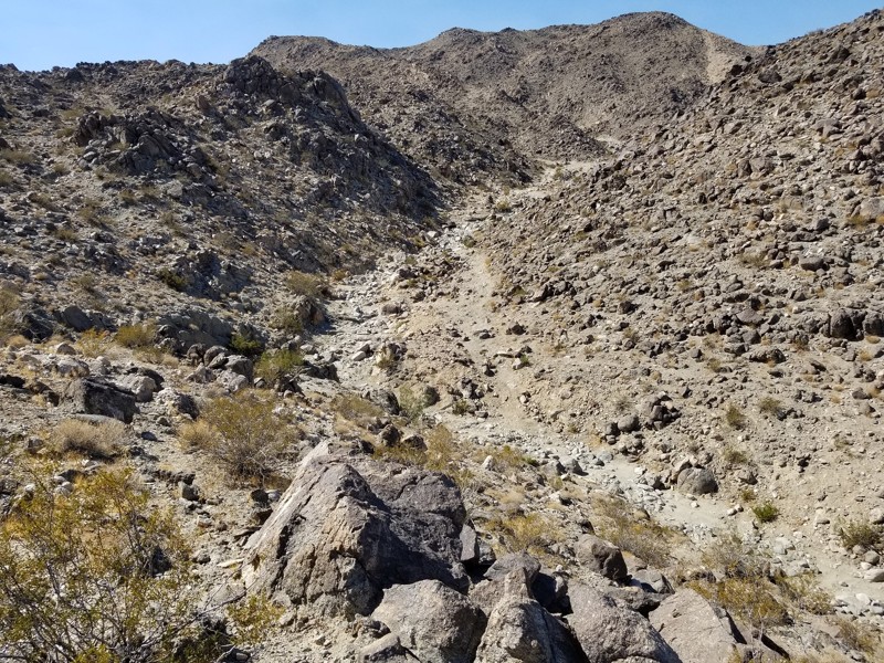
In the Anza-Borrego Desert State Park, Olla Wash leads to one of the more famous attractions, the Mud Palisades. The Mud Palisades resemble ornate columns in what you might see in a European gothic church. Formed over time by dripping water and wind, they provide a beautiful experience for those seeking natural wonders. Olla Wash is a perfect offroad trail for those looking to escape the more crowded parts of Anza-Borrego and who want to get up close and personal with striking landscapes.
Updated: 06/03/2025
SOS
Yucca Valley, California
SOS is an insane and extreme rock crawling trail that will put any 4x4 or buggy to its test. Whether you are a Toyota, a 2 door Jeep Wrangler, a 4 Door JKU person, or a tube buggy. SOS will make even the most extreme hardcore off-road enthusiast think twice in the first few feet of the trail. Body damage, driveline failure, bad days, but great memories are all likely to be found on this trail. The next time you decide to have an adventure in the home of The King Of The Hammers in Johnson Valley, California, take a trip to he southwest of Means Dry Lake and check out one of the most insane but epic 4x4 trails in Southern California. If you are interested in taking over this trail review, please sign up to be a contributor at TrailsOffroad.com and become part of the team.
Updated: 06/17/2024
Hungry Valley SVRA - Power Line Road
Santa Clarita, California
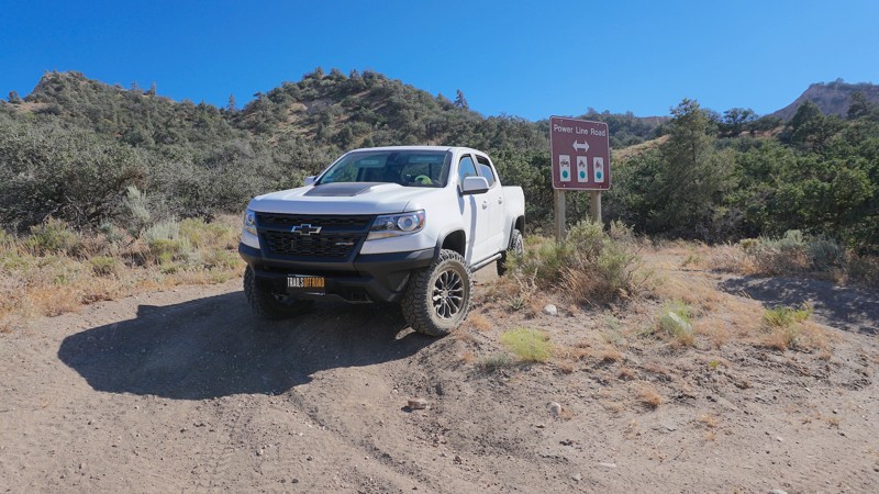
Power Line Road is one of many off-road trails in the Hungry Valley SVRA (State Vehicular Recreation Area) just outside of the Gorman and Frazier Park mountain communities in Southern California. Over 130 miles of motorcycle, ATV and 4x4 trails spiderweb throughout this 19,000 acre park. To traverse these trails, you will climb over hills, plow through muds pits, shoot down sand washes and at the end of the day, idle into one of the numerous campgrounds. On any given weekend this park will be full of dirt-bikes, side-by-sides, quads, and 4x4s. If it burns gas and flings mud, you will find it here.
Power Line Road stretches over seven miles from the east and west ends of the park and intersects with many of the more difficult trails that lead through the hills of Hungry Valley. Multiple high points across this trail provide great views in all directions.
Updated: 11/19/2022
7S04 - Juan Diego Flats OHV
Anza, California
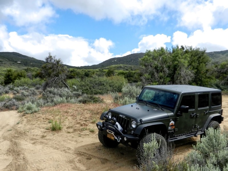
7S04 - Juan Diego Flats OHV is one of a trio of connecting trails just outside the Cahuilla Mountain Wilderness Area, in the San Bernardino National Forest. The trail follows Wilson Creek to it's end, and the Cahuilla Mountain Wilderness is just south of this beautiful trail. The area is known for its gemstone mining, and it's link to the Ramona Pageant in Hemet. Juan Diego was murdered here in 1883, and there is a Historical Marker on this trail at Waypoint 3. His death is the basis for the longest running outdoor play in the United States.
Updated: 06/05/2022
Bautista Road
Anza, California
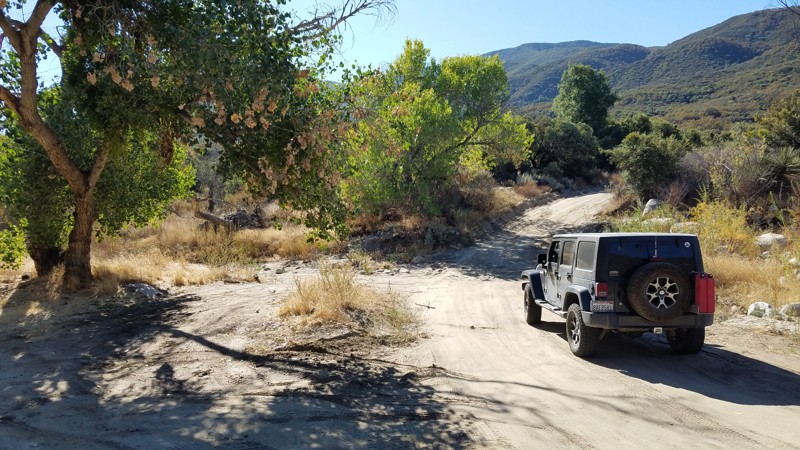
Bautista Road follows the creek of the same name straddling the South Fork San Jacinto Wilderness to the north and the San Bernadino National Forest to the south. It is frequently used as a shortcut between the Anza Valley area and Hemet and is frequently trafficked. The hills rising on either side are green and lush and provide great views. Several hiking and OHV trails intersect along this dirt section of the road. The devastation of the 2018 Bautista fire can still be seen along portions of the road. The east end of the trail brings you to some great truck and OHV trails including the Cottonwood Truck Trail which connects to the Hog Lake Truck Trail and ends at the mountain ridge and intersects Rouse Hill Road.
From the end of Bautista Road, only 2 miles south on Tripp Flats Road and you will be at the trailhead of Red Mountain OHV trail.
Updated: 04/15/2024
23E204 - Iron Lakes
Fish Camp, California
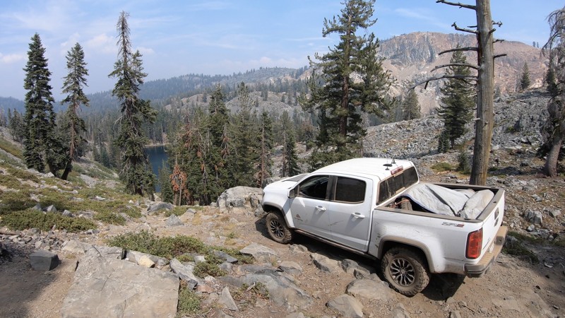
High in the Sierra National Forest, just south of the Yosemite National Park border is the hidden gem known as Iron Lakes. East of the small mountain town of Fish Camp, north of Bass Lake, and Oakhurst this short, semi-technical 4x4 trail leads to an overlook of Iron Lakes with some awesome views of the surrounding mountains and lake below. For those willing to make the hike, the clear waters at the lake are a short, but steep walk away.
Any off-roader with minimal 4x4 experience should do fine on this trail by taking it slow and picking the right lines.
Updated: 09/10/2026
Hot Creek Road
Whitmore Hot Springs, California
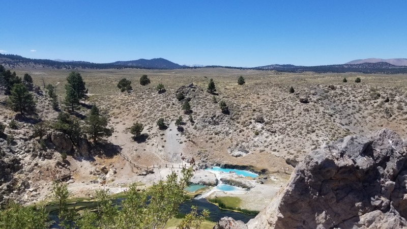
Hot Creek Road is a scenic drive in a most unexpected place. This little trail is almost like driving through Yellow Stone, making it hard to believe you are in the mountains of California. That might be why Hot Creek is one of the area's best-kept secrets. Near the trail's east end, camping is alongside the creek. It can get busy, so don't be upset if you are not the only one enjoying all the beauty this trail offers.
Updated: 06/26/2026
Usal Road
Rockport, California
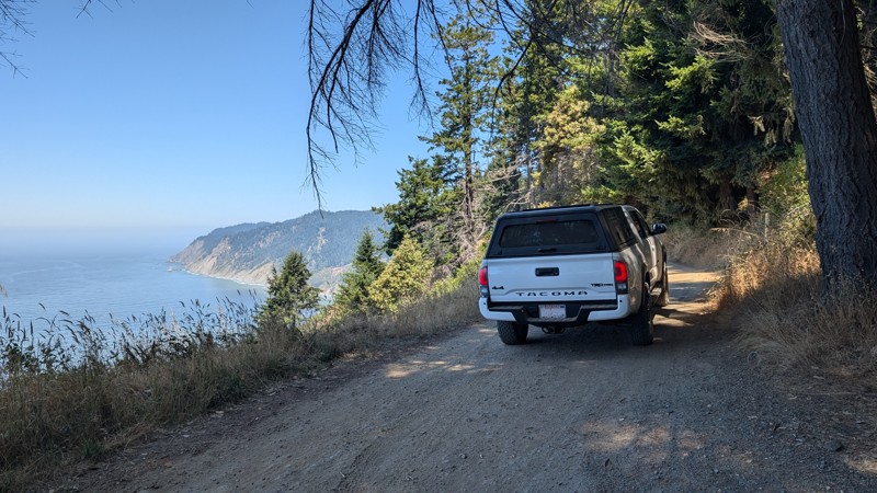
Usal Road is an iconic, straight-through trail traversing the mountains and cliffs of California's Lost Coast. There are numerous campsites and campgrounds along the way, including Usal Campground and beach, located in the Sinkyone Wilderness State Park. The trail has a lot of ups and downs with a total of 8,100' of climbing and elevation ranging from sea level to almost 1,900'.
Usal Road is mostly a one-lane rough and rutted dirt road, winding through the forest, across mountain ridges, and along cliffs overlooking the Pacific Ocean. When conditions are good, it is traversable with a stock 2WD truck or SUV, but a high clearance 4WD is recommended.
Updated: 01/05/2023
Painted Gorge Road
Ocotillo, California
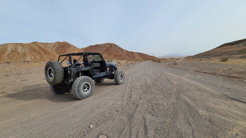
In the desert of California is a hidden gem that many don't know about and should be on everyone's bucket list. Painted Gorge near San Diego in the hills just outside of Ocotillo off of the 8 Freeway can easily be said to be one of these bucket-list trails. The natural beauty of this trail with its vibrant colors and unique dirt and stone formations is definitely on the list of the most beautiful trails in Southern California. The road starts out a nice graded dirt road that takes you back into the hills. As the hills begin to close in, the colors seem to come out. Now it can also be said that this trail only gets harder as you continue so it is best to understand that even though a stock 4x4 can do this trail, most people who drive 4wd vehicles might not appreciate the last section as it climbs up this spectacular shelf road up the narrow canyons to the top of Carizzo Mountain.
So if you are looking for some adventure, planning your epic overland adventure, or just needing what could be the ultimate day trip, check out this trail and you won't be disappointed.
There are two parts to this trail; there is the lower half that leads to camping (this one) and the upper half that climbs up the canyon. Note that the upper half is behind a gate and that gate is closed during certain parts of the year for the Longhorn Sheep breeding season.
Updated: 04/08/2024
1N45 Santa Ana River Road
Big Bear, California
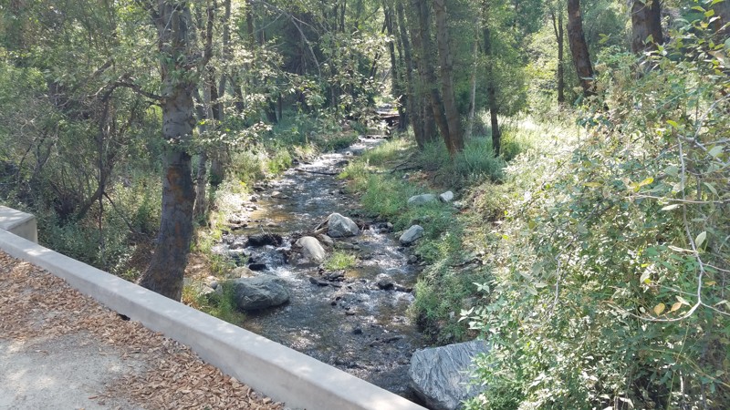
The trail provides an enjoyable casual drive, bathed in the cool green of the tall pine trees lining the cool green. Santa Ana River Road passes over its namesake, the Santa Ana River, or its tributaries in several places. It provides inviting areas to pull over and walk down to the water's side to enjoy the peaceful forest river and its comforting sounds. Santa Ana River Road is in the 823,000-acre San Bernardino National Forest just south of Big Bear Lake. The Santa Ana River begins its journey in the San Gorgonio Wilderness, high above the trees. It is one of Southern California's largest and longest rivers, tumbling 80 miles to the Pacific Ocean. The Prado and Seven Oaks Dams interrupt the river, providing flood control and water for consumption, irrigation, industry, and recreation. This area around the Santa Ana River is a unique and fragile ecosystem,
Updated: 09/21/2026
San Felipe Wash
Ocotillo Wells, California
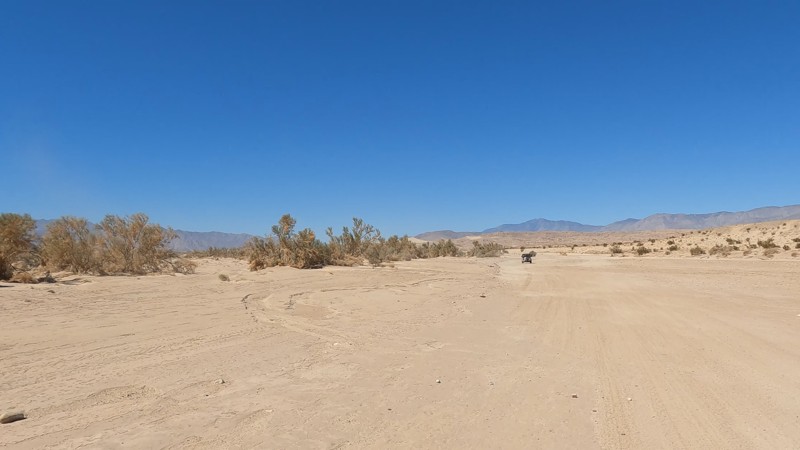
San Felipe Wash is the main wash running through Ocotillo Wells OHV, on the southern side of the park. Because of that, people often use this as the main path to get places. The wash doesn't have anything interesting but does allow people plenty of space to get out and get away from the crowds.
If you are looking for somewhere to camp, check out the camping near Blow Sand. It has bathrooms, showers, and plenty of places for RV Parking.
Updated: 05/23/2024
Calcite Mine Trail
Salton City, California
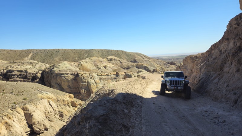
The Calcite Mine in Anza-Borrego Desert State Park is a fascinating destination that many off-roaders and overlanders like on their adventures that combine history, geology, and natural beauty. During World War II, the mine played an essential role as a source of industrial-grade calcite, which was used to manufacture optical equipment such as bomb sights and periscopes. Today, visitors can hike the area and explore the remains of the mines while taking in the stunning desert landscape. Along the way, you may encounter wildlife like desert bighorn sheep and coyotes and see unique geological formations like Calcite Canyon and the surrounding badlands. The Calcite Mine is a must-visit for anyone interested in history, geology, or outdoor adventure.
Updated: 07/08/2024
3N12C / 2N09A
Big Bear Lake, California
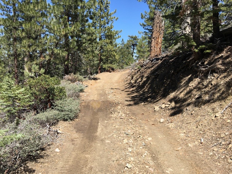
One of the lesser known trails of Holcomb Valley, 3N12C / 2N09F / 2N09A is a great little trail to get out into the forest and get away from the crowds. In dry conditions, this is a great trail for new drivers. But when it gets wet, this is probably the muddiest trail in the Holcomb Valley area. The mud is known to get over 36 inches deep and is a sticky mess that will swallow even built up trucks.

Upgrade your Membership
Unlock all of the details on every Trail Guide and Scout Route.
Start a 7-day Free TrialBrowse Trails in California by City
Browse every California city with offroad trail guides.
Community
Partners

