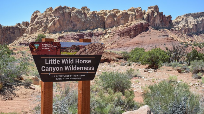
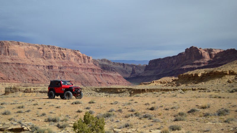
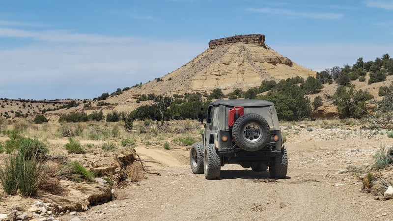
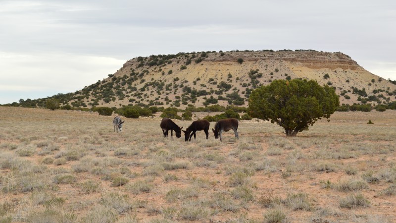
Moore Cutoff to Broken Pond
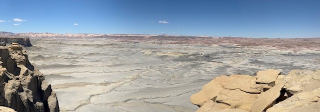
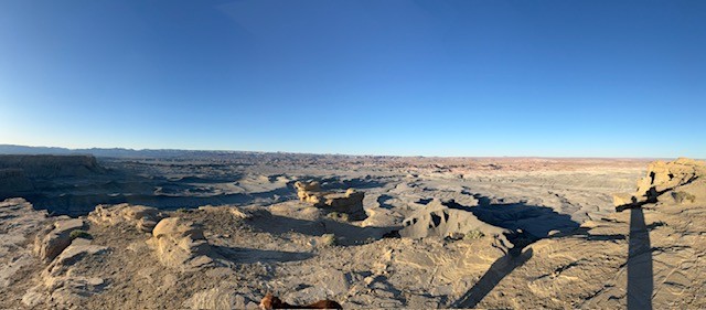
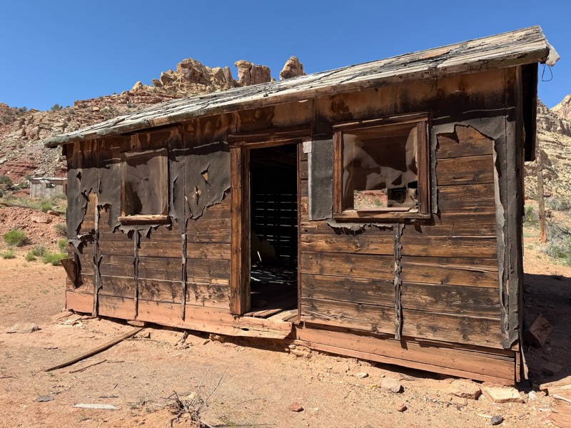
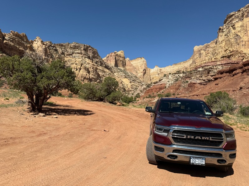
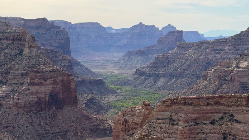
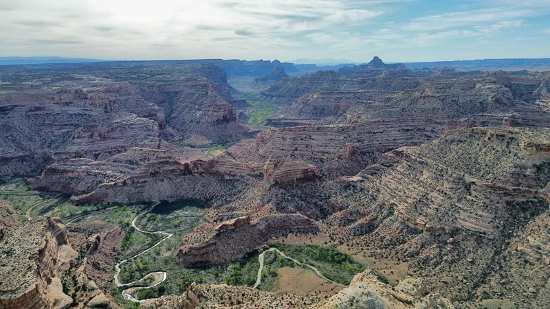
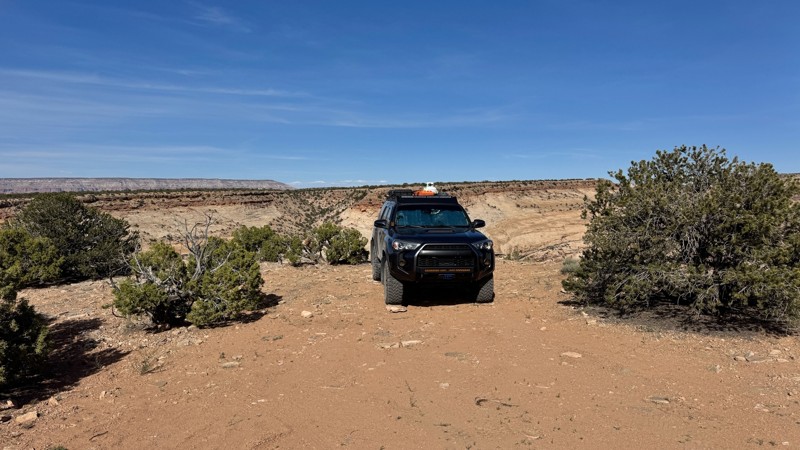
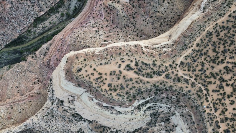
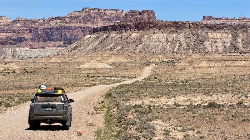
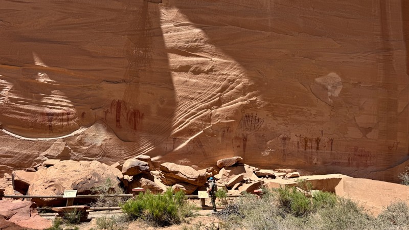
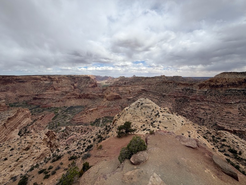
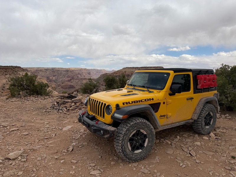
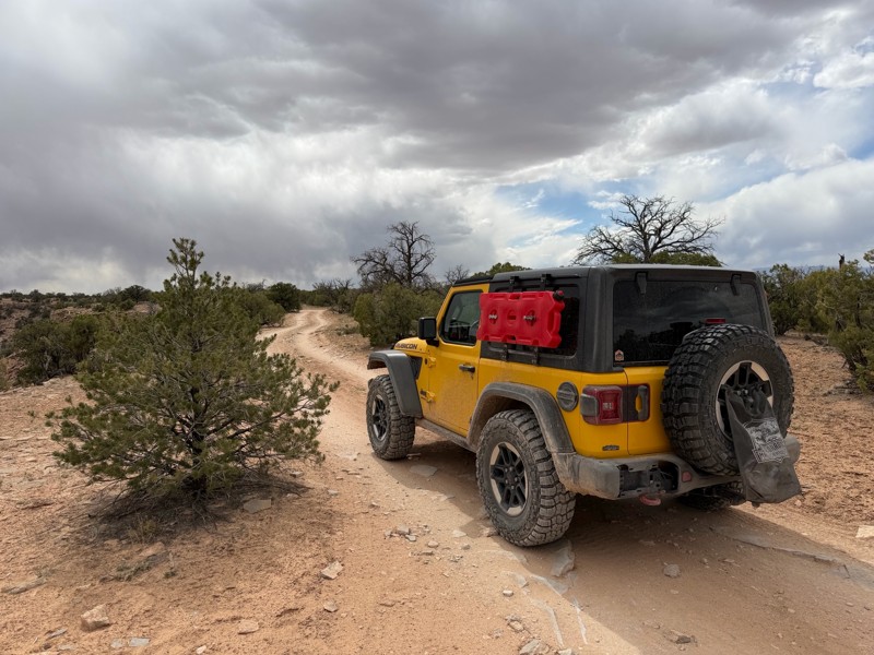
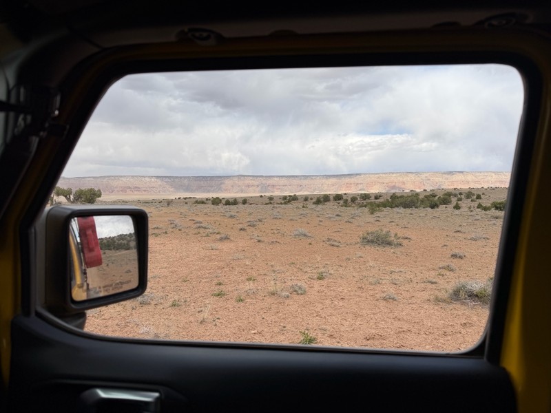
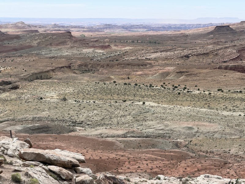
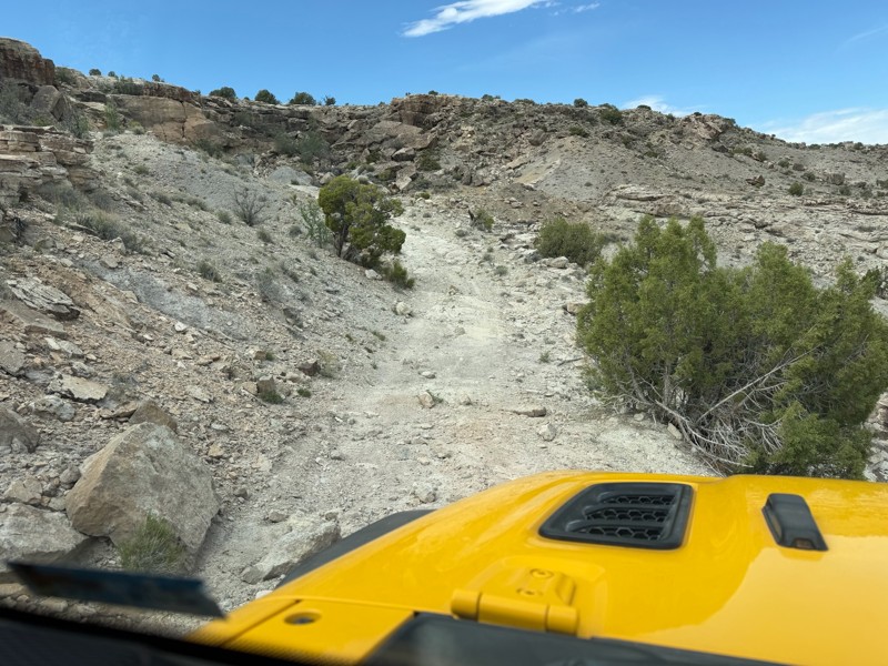
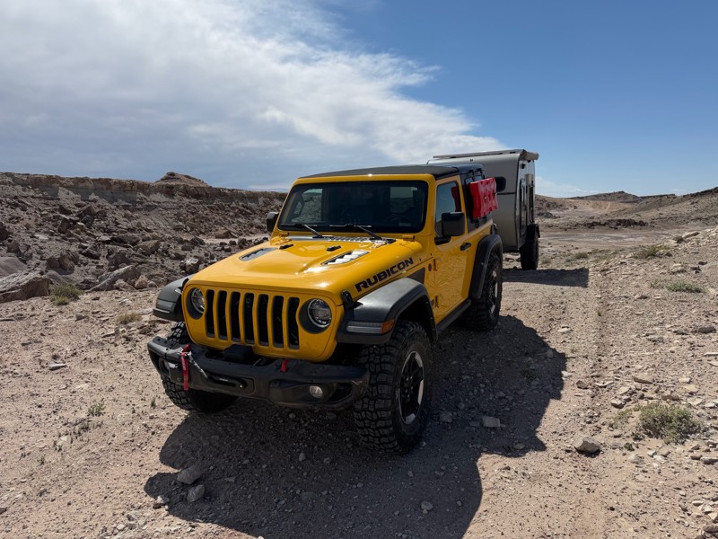
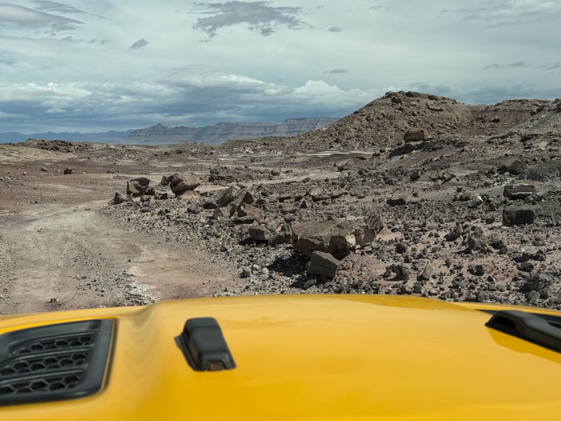
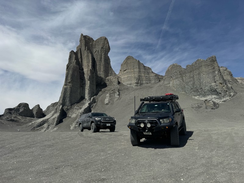
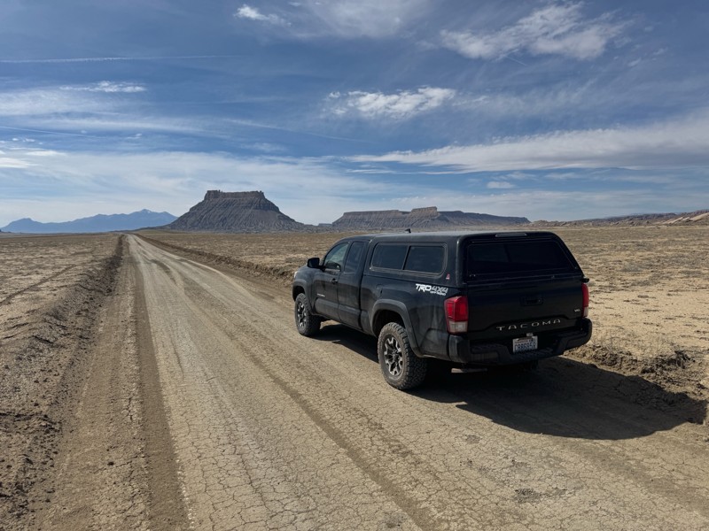
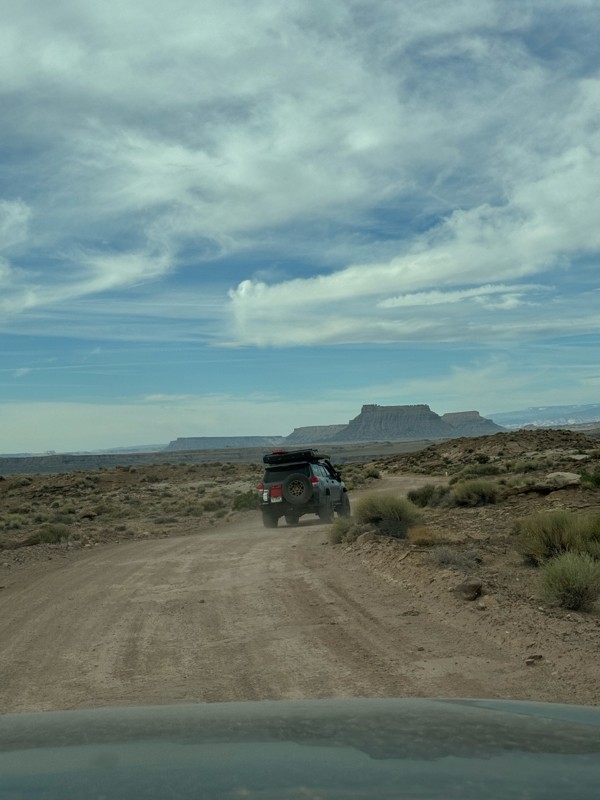
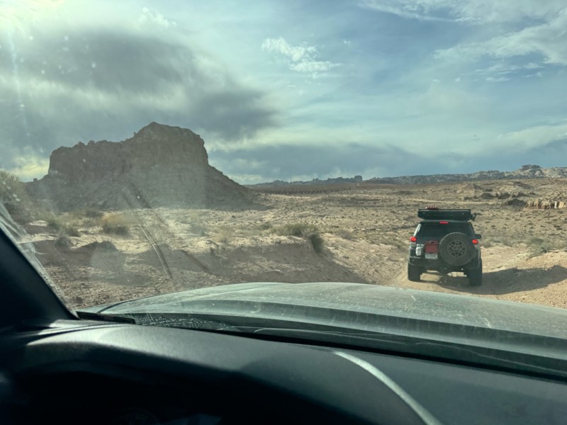
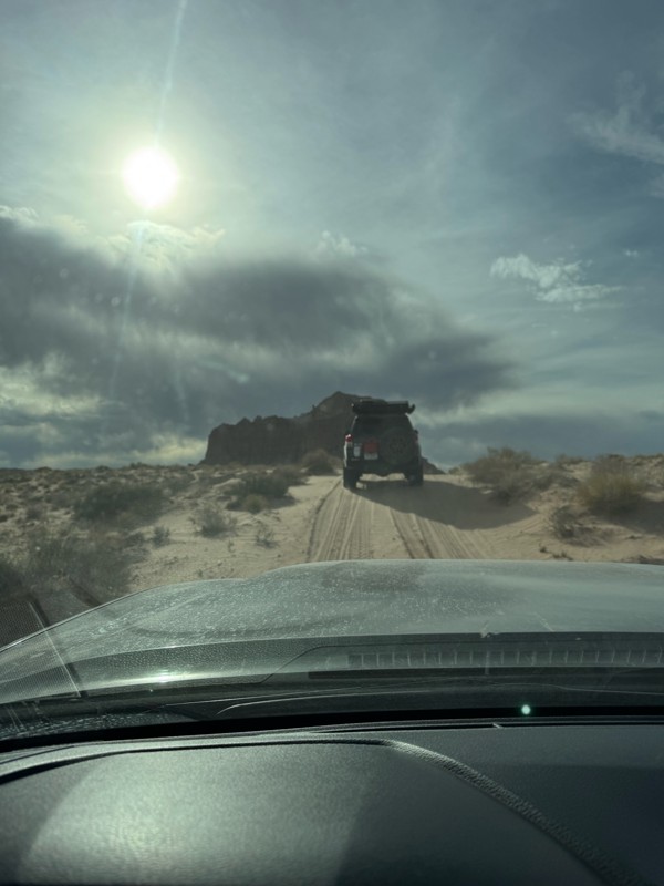
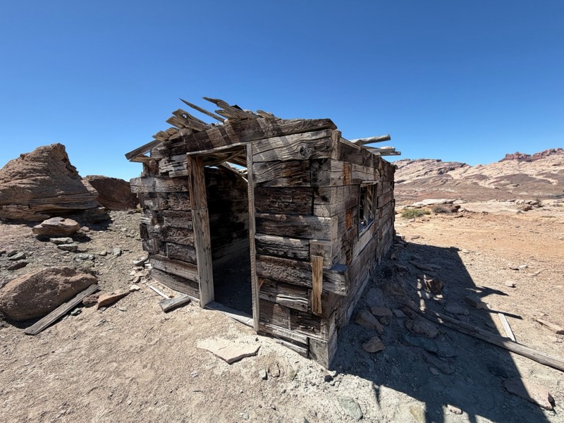
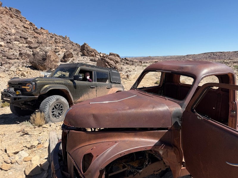
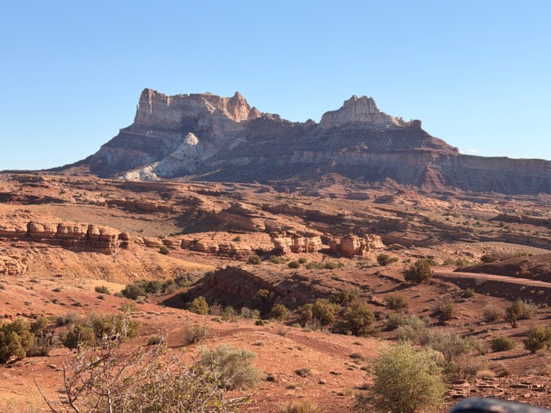
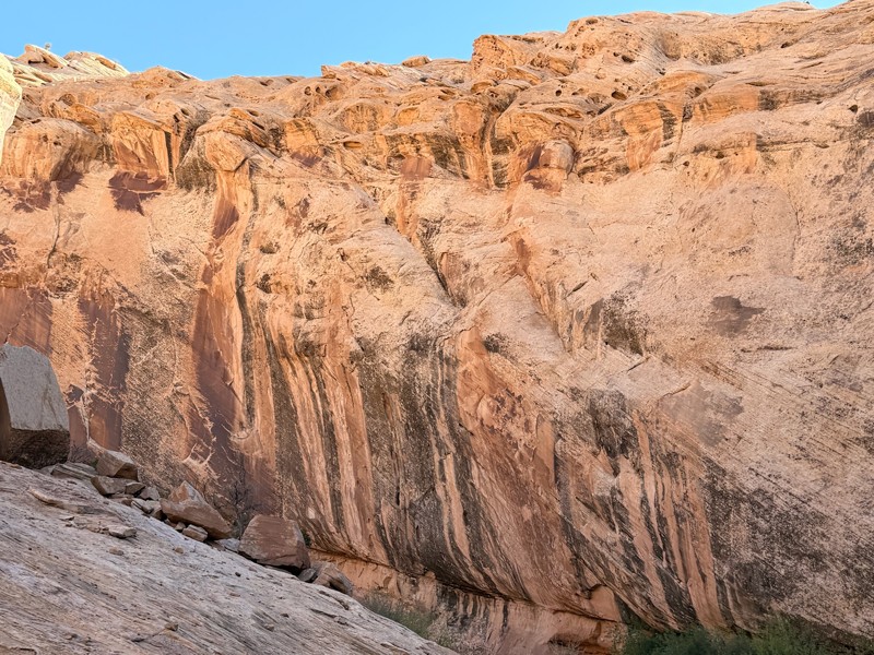
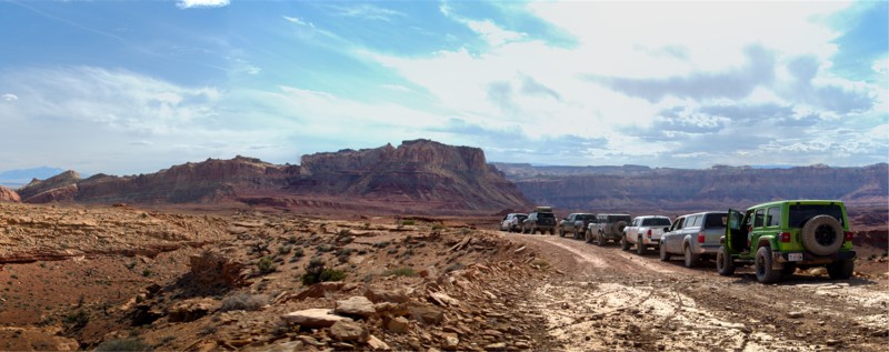
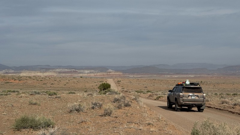
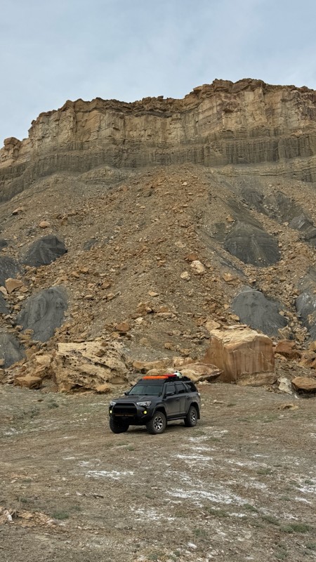
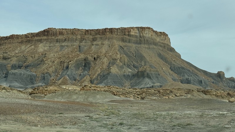
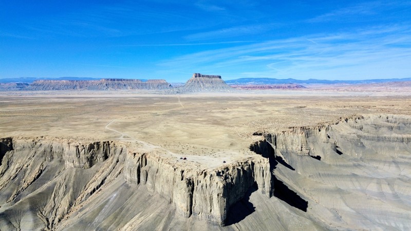
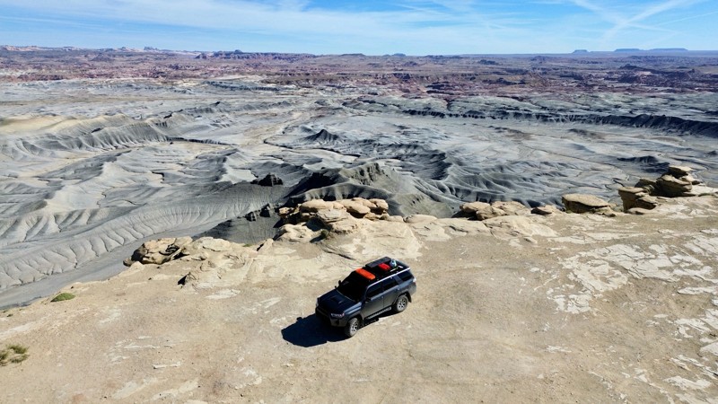
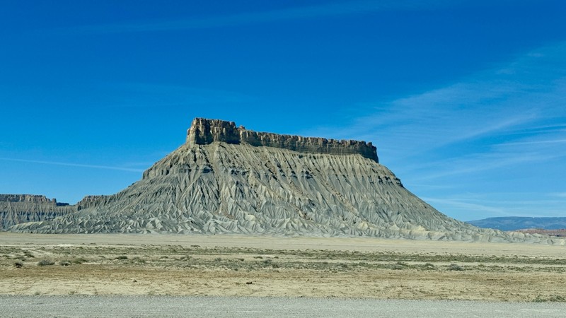
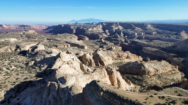
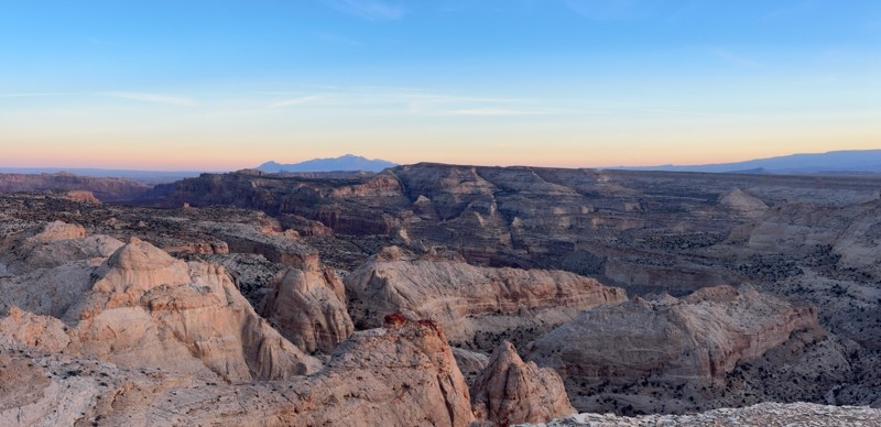
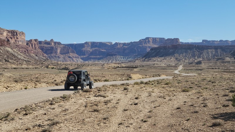
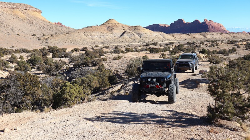
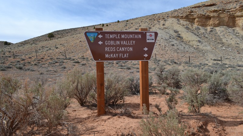
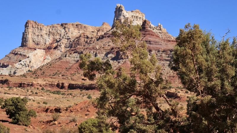
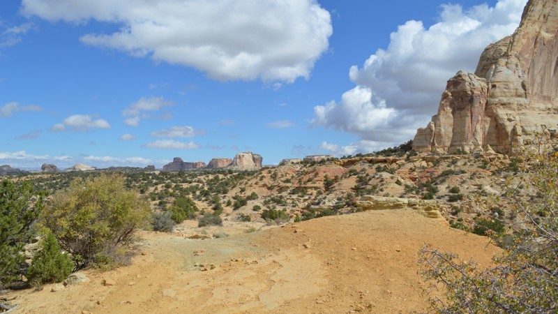
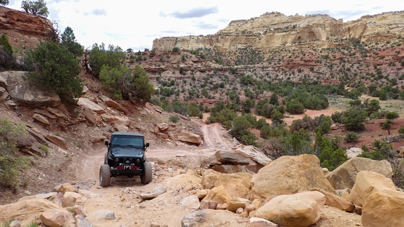
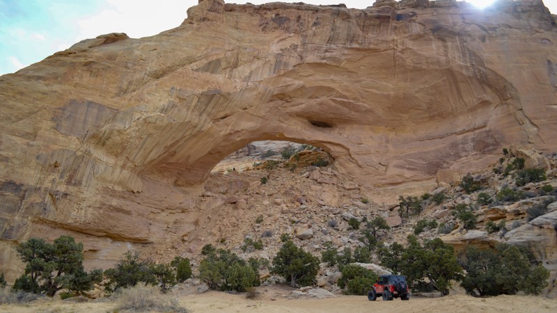
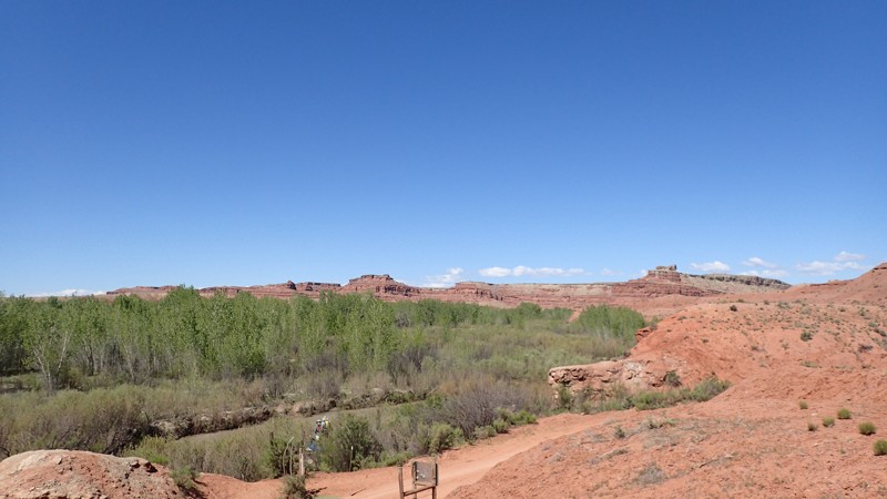
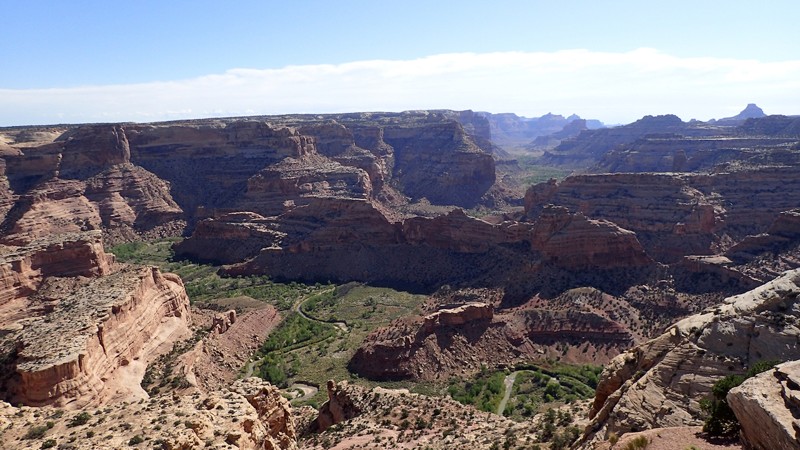
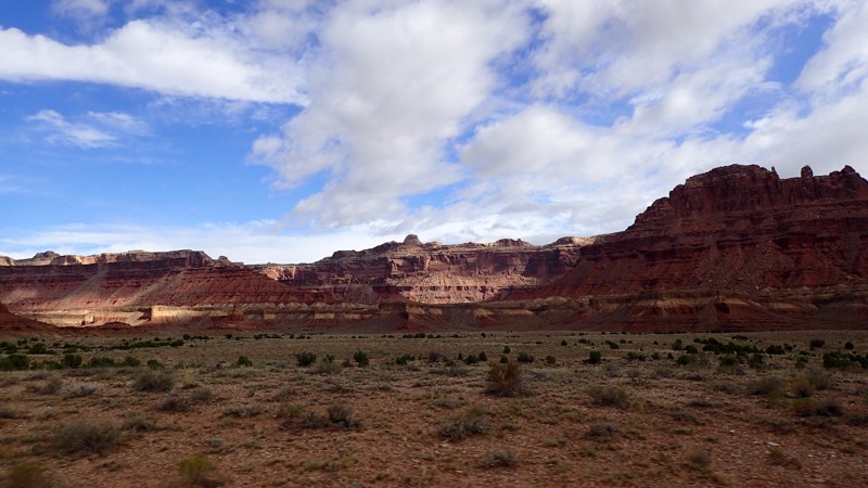
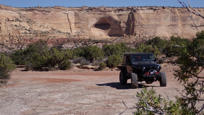
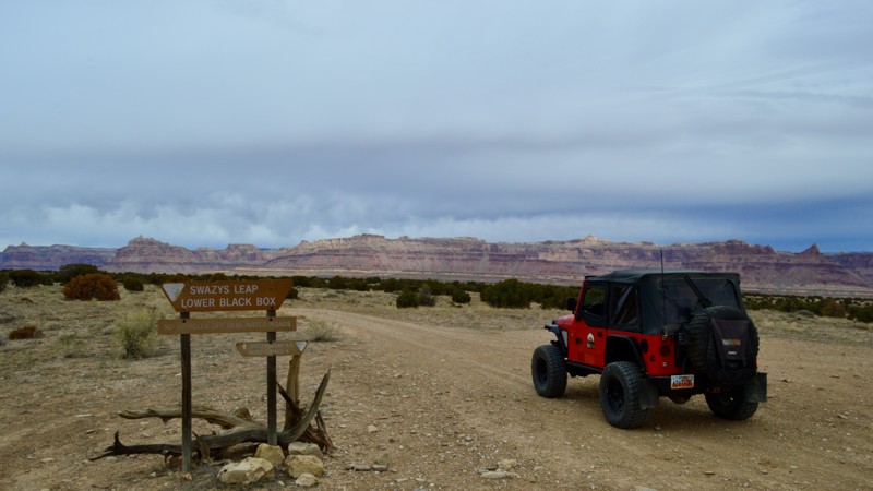
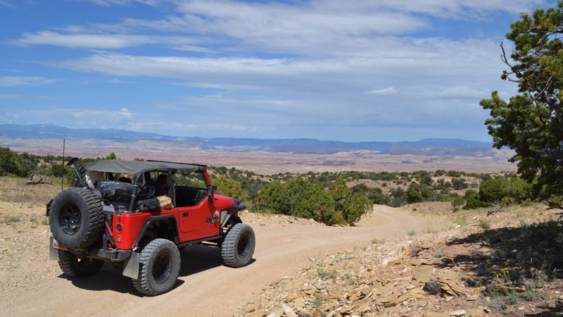
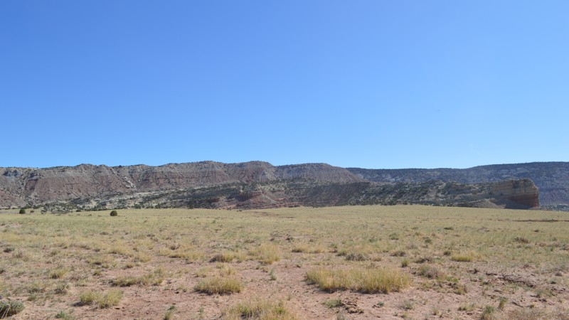
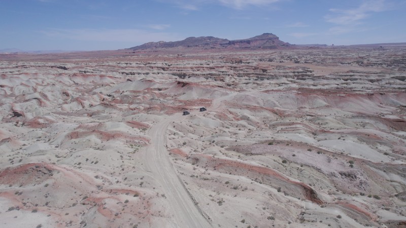
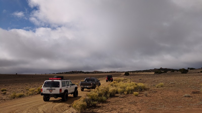
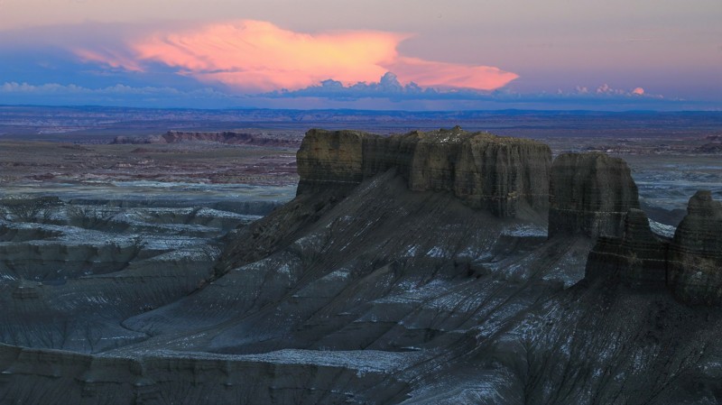
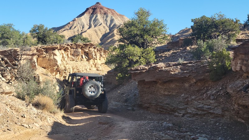
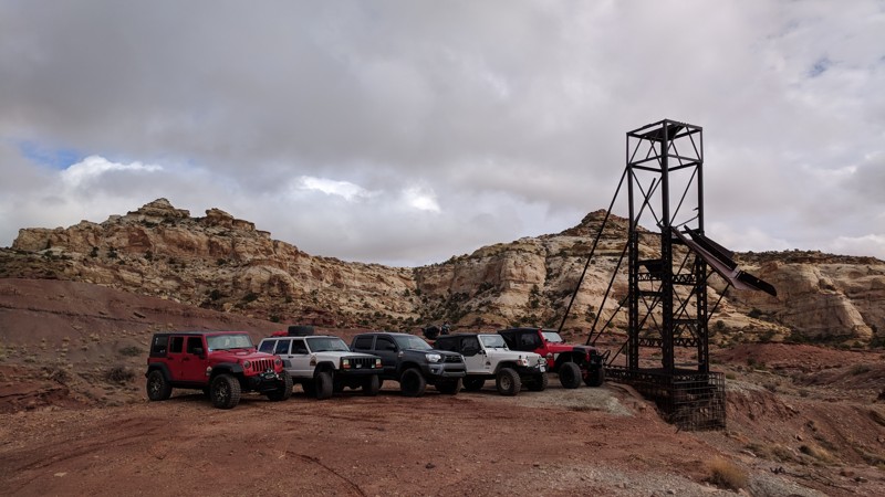
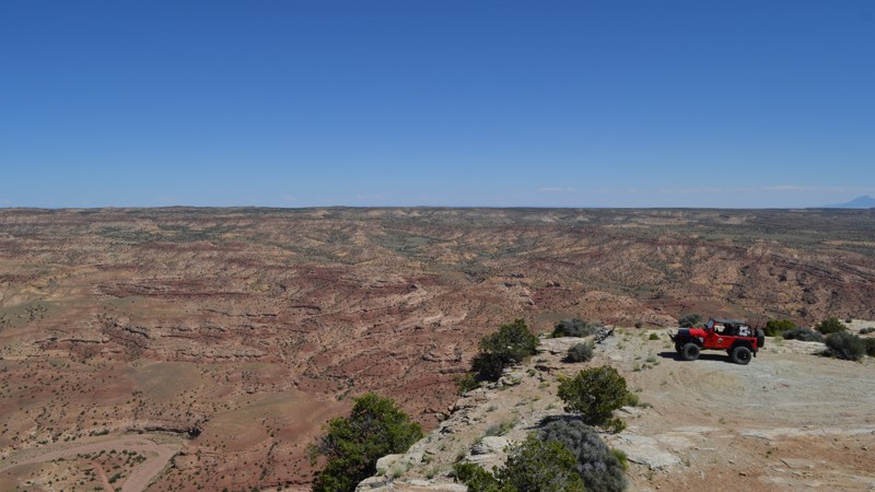
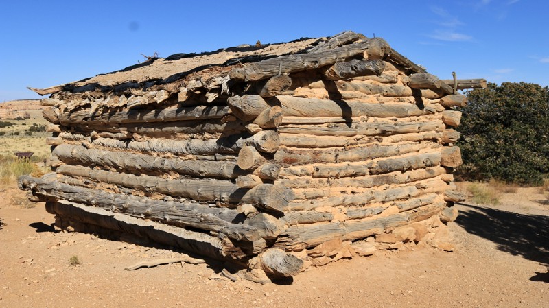
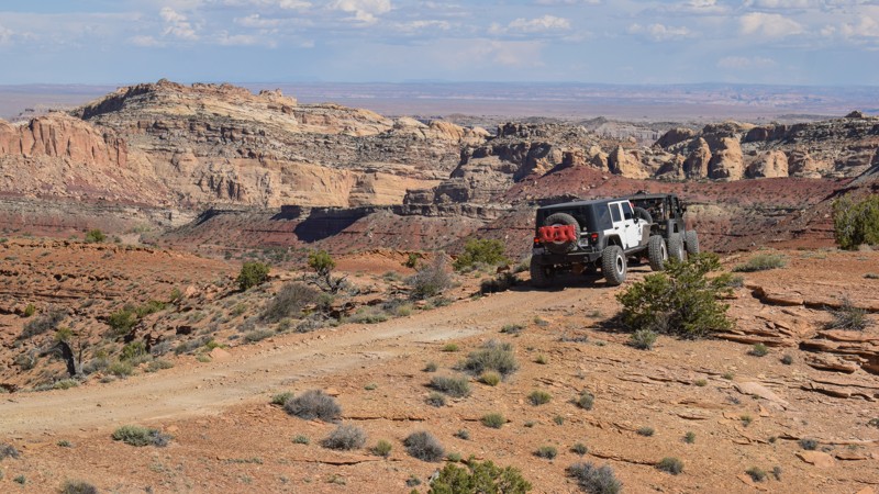
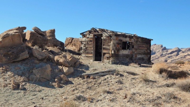
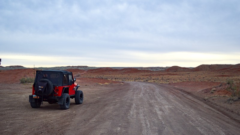
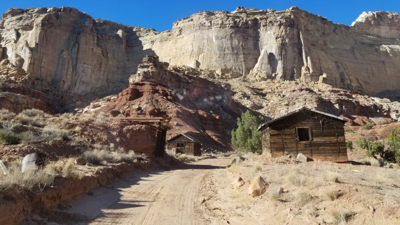
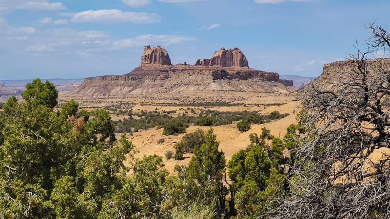
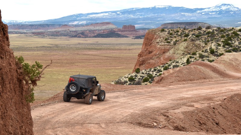
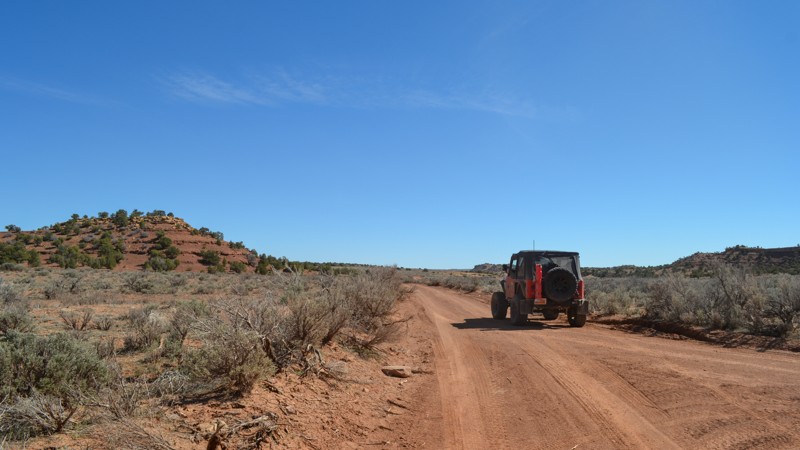
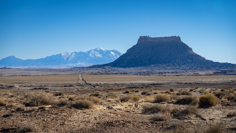
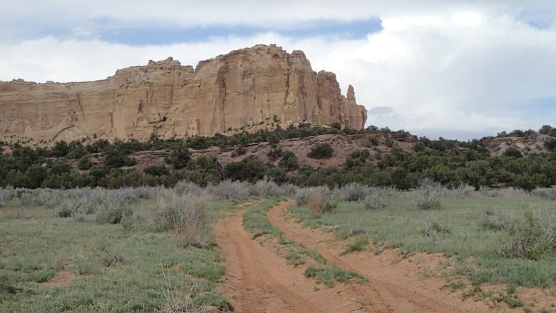
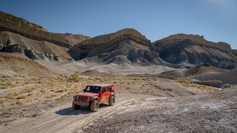
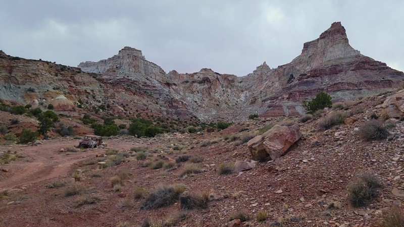
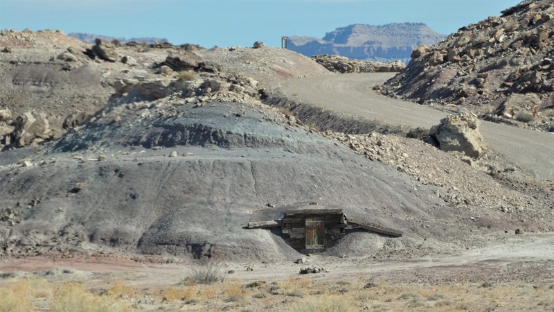
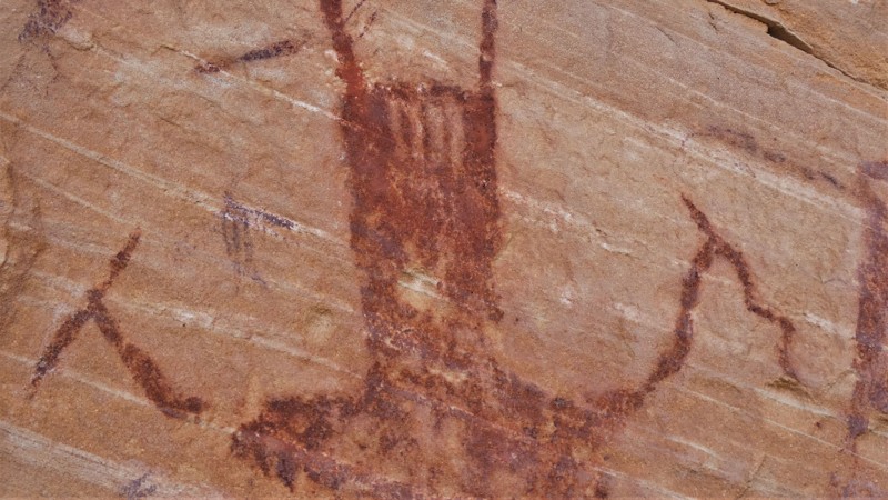
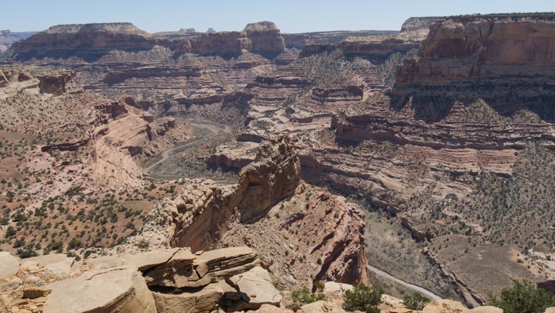
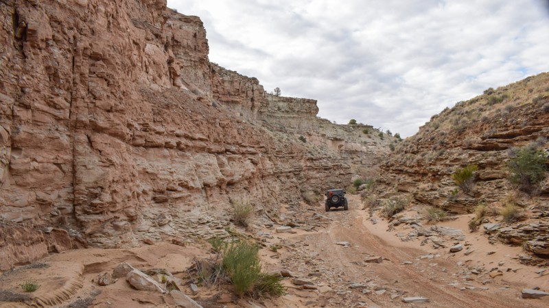
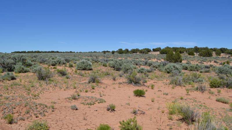
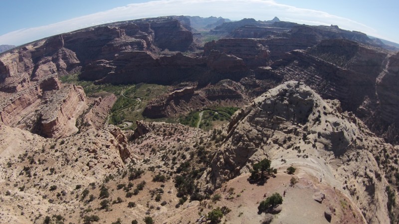
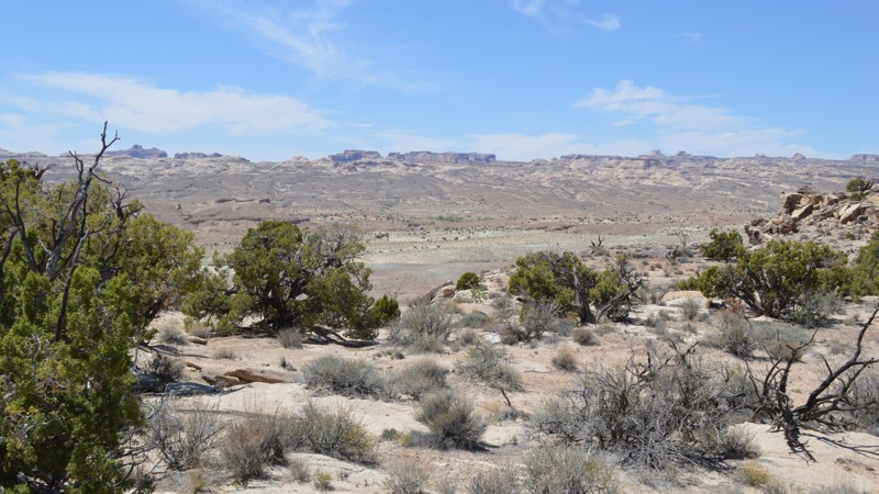
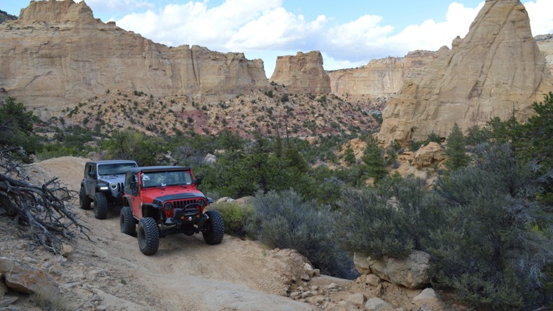
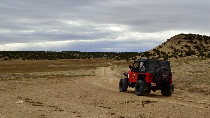
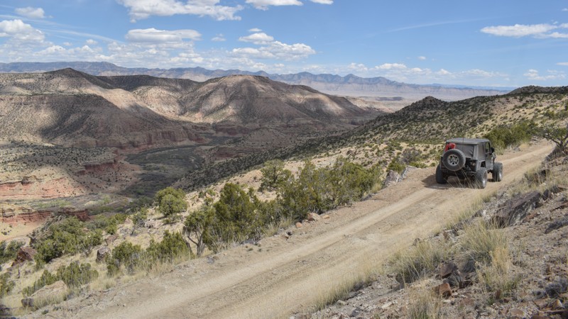
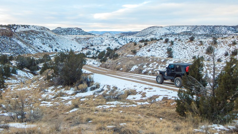
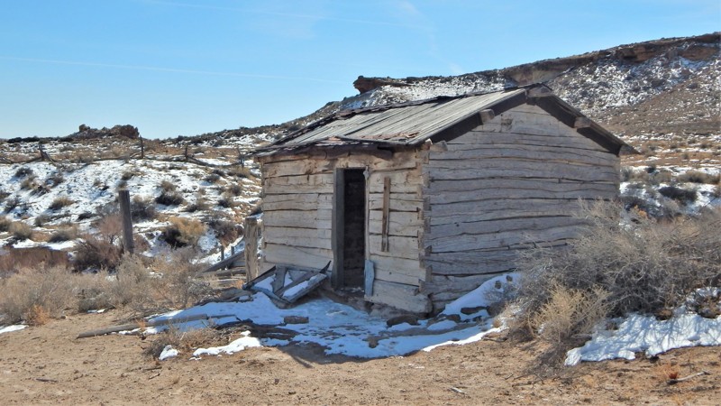
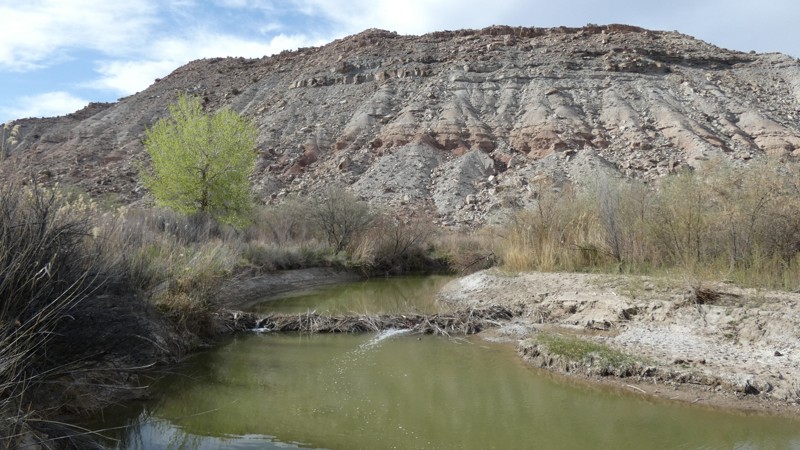
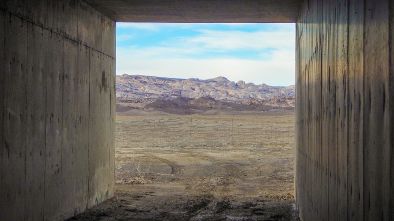
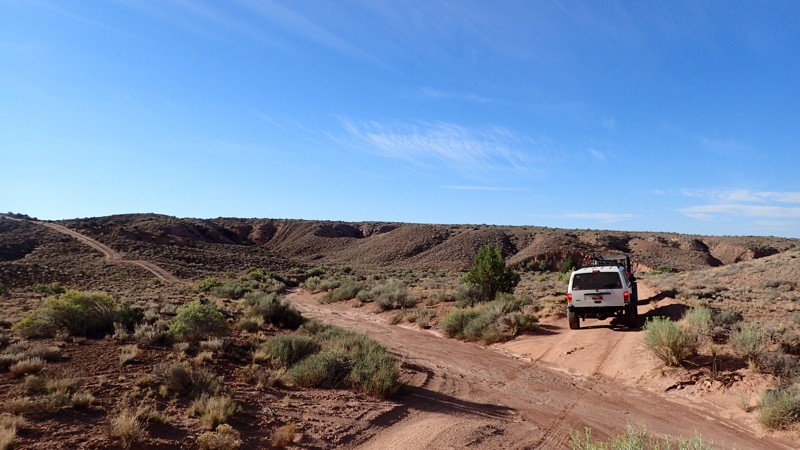
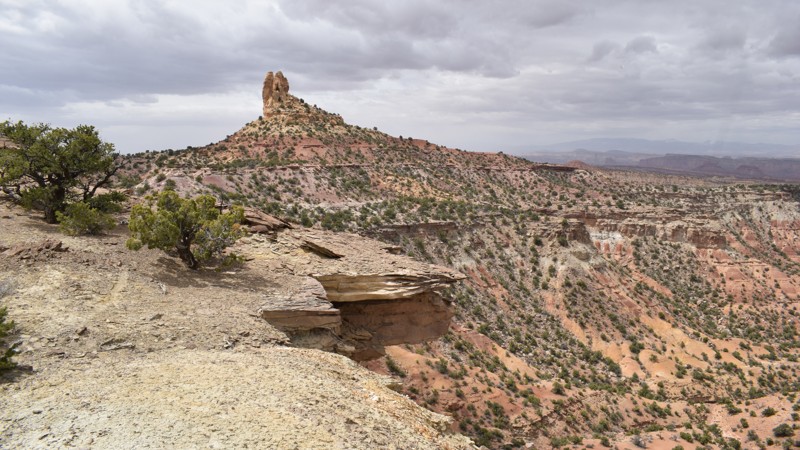
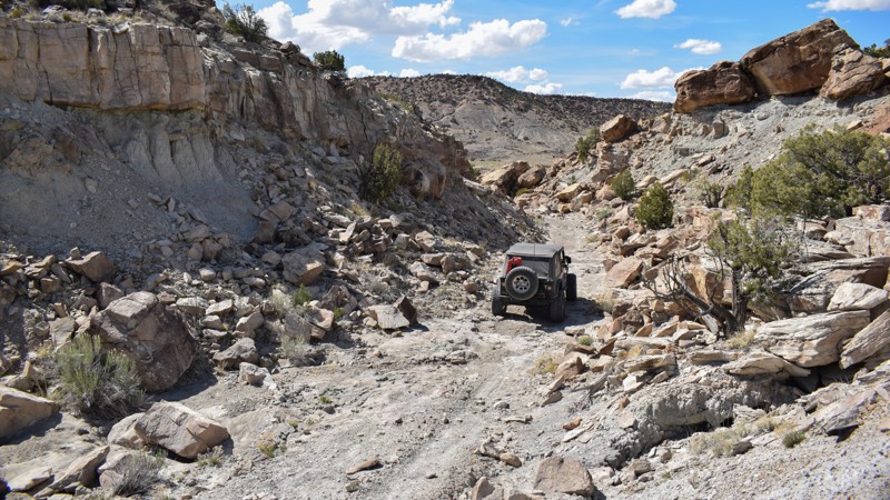
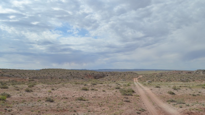
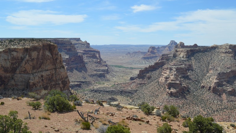
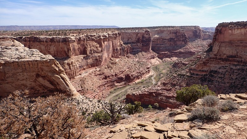
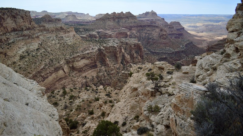
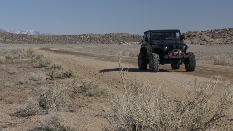
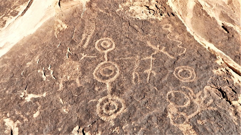
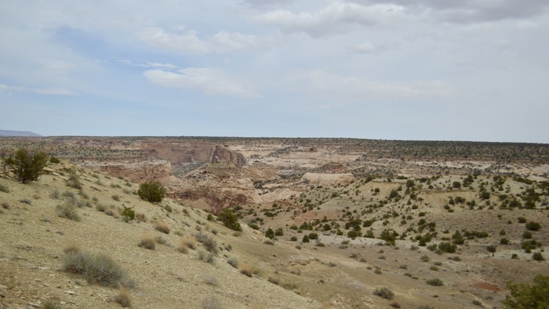
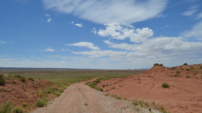
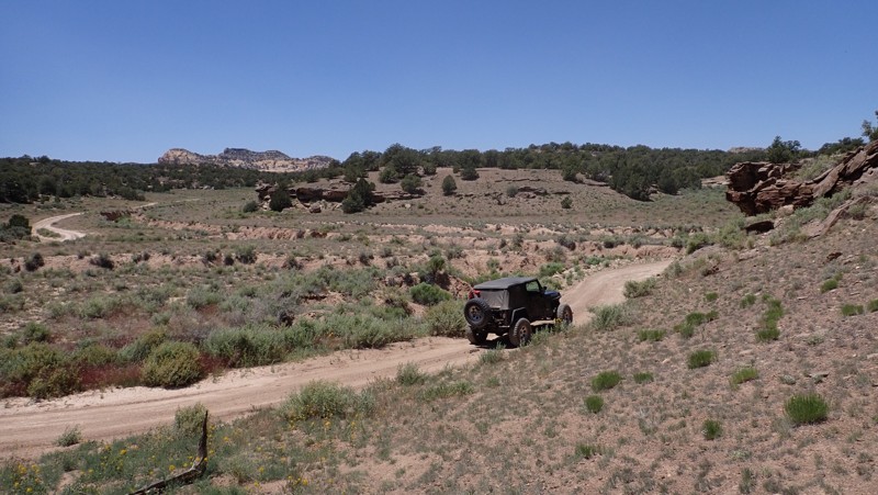
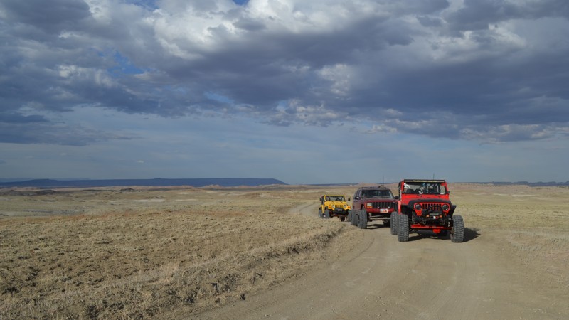
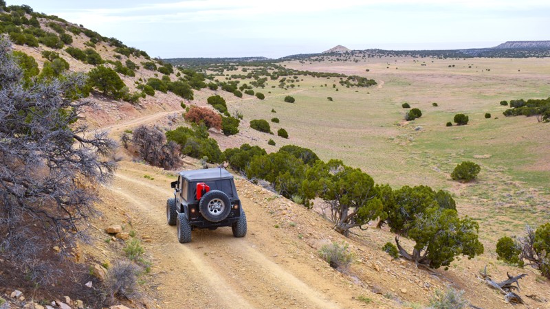
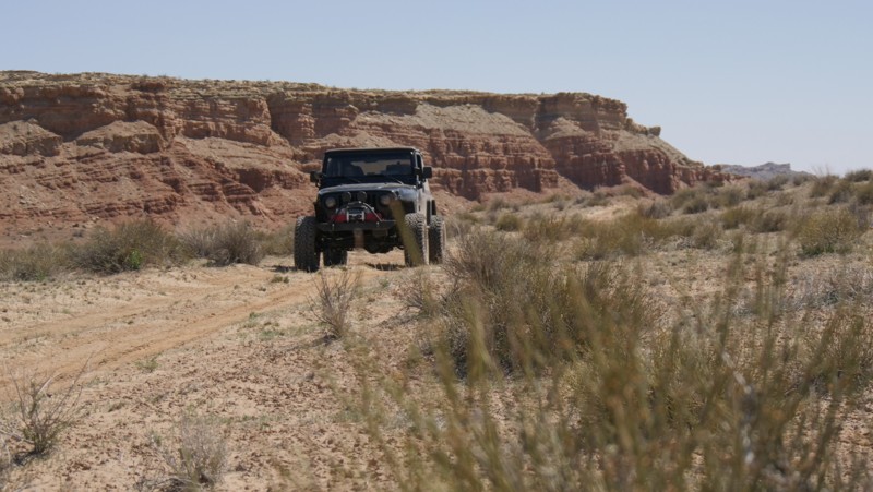
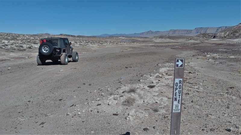
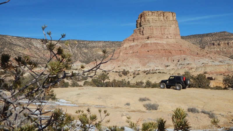
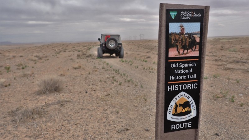
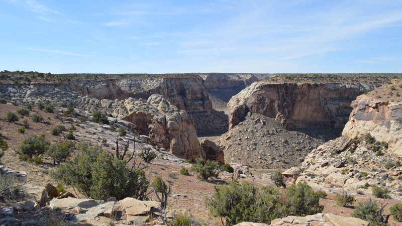
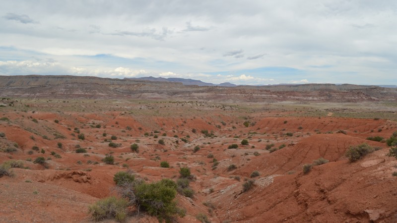
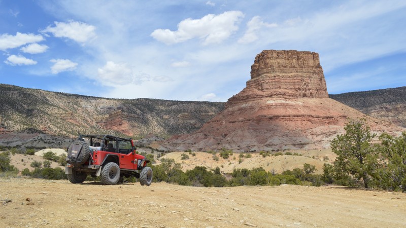
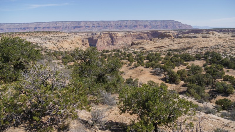
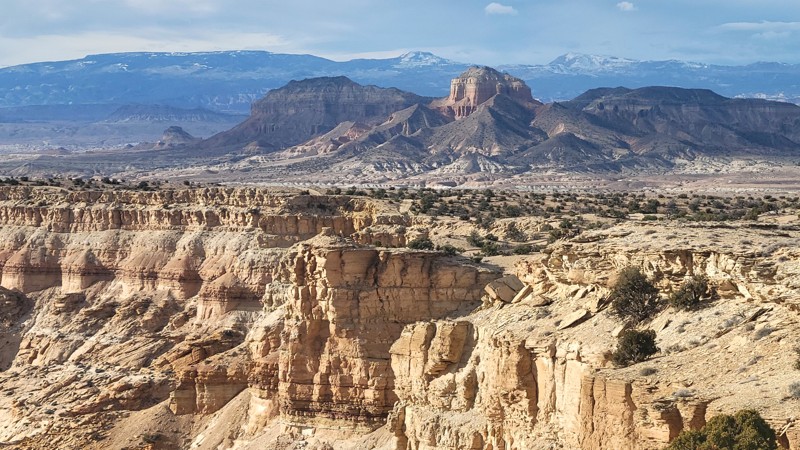
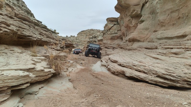
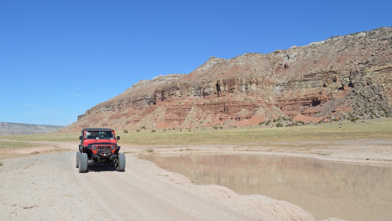
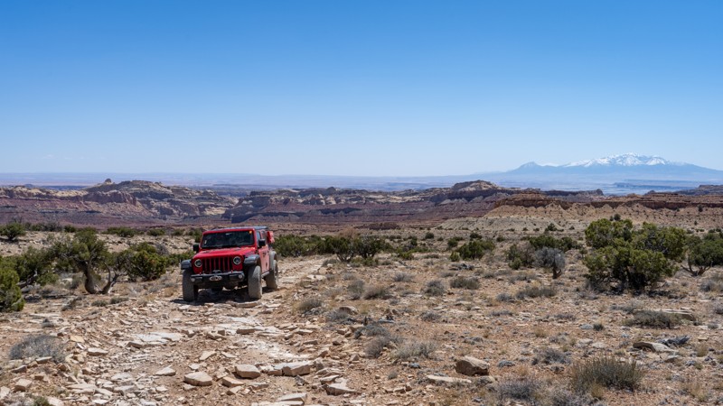
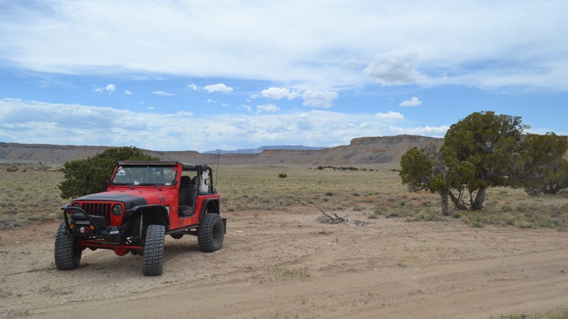
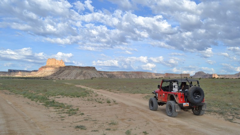
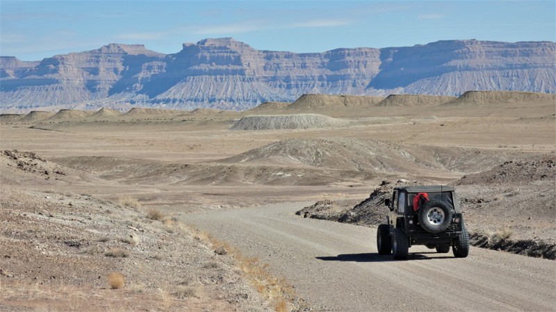
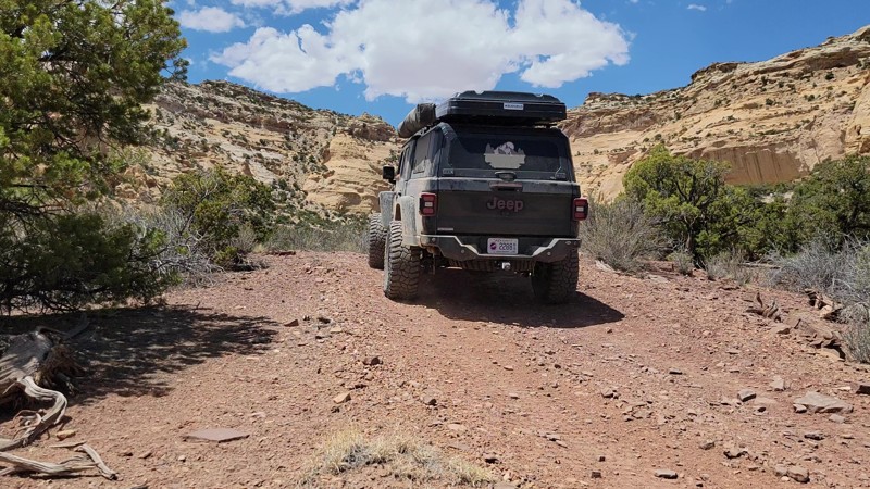
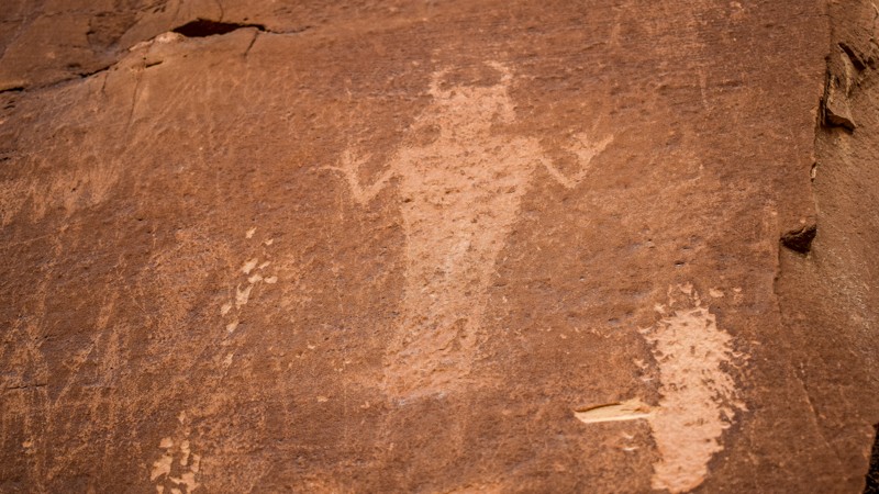
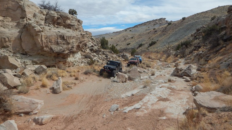
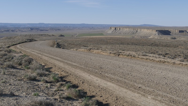
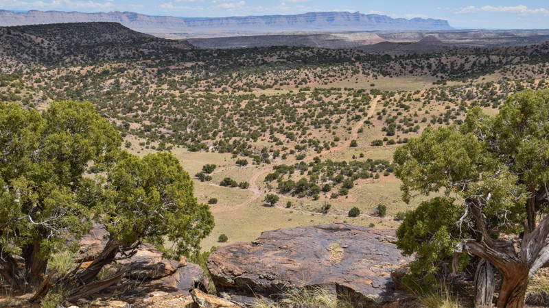
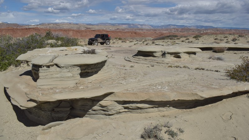
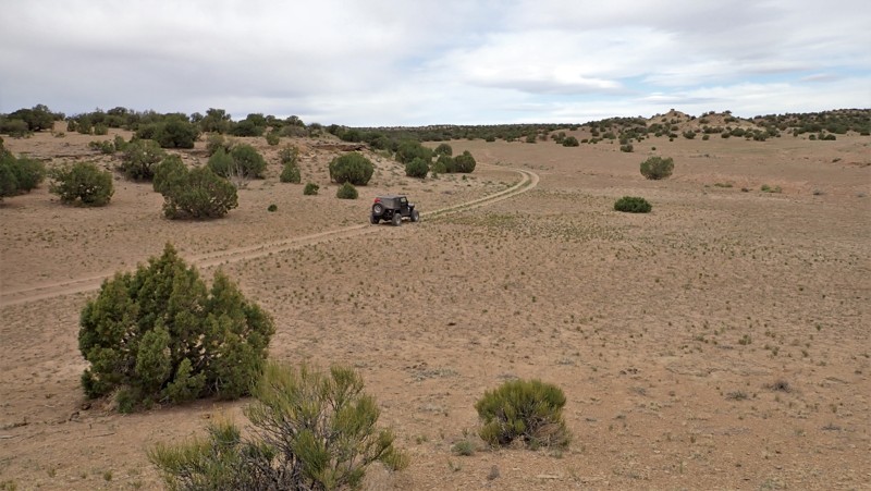
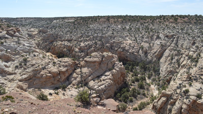
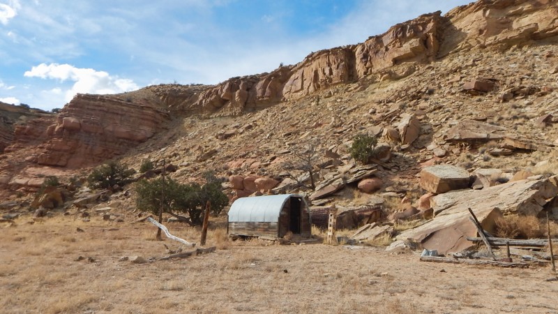
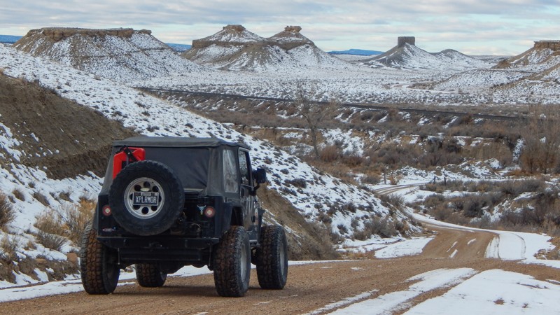
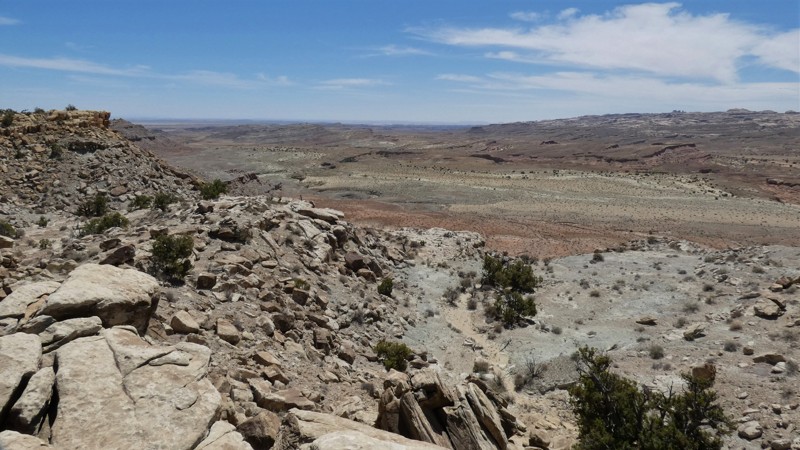
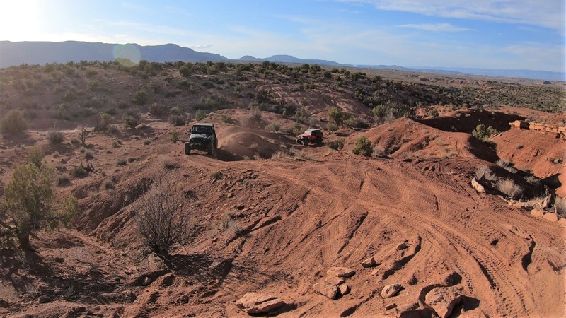
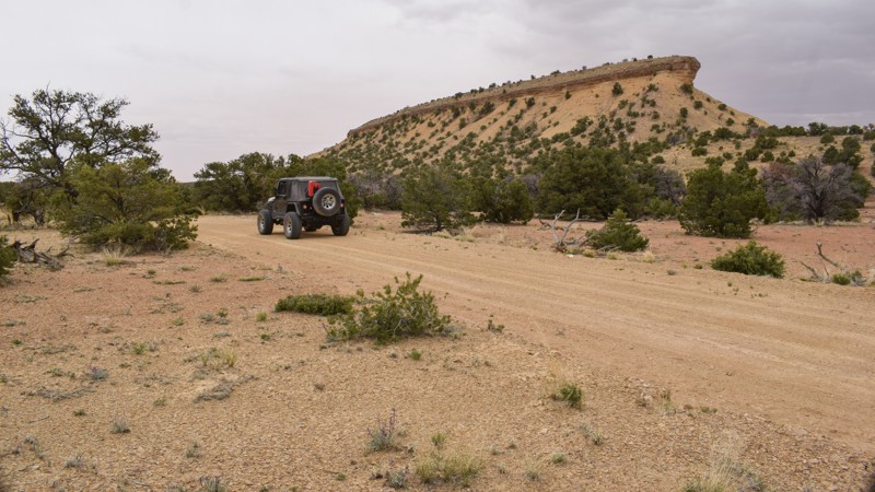
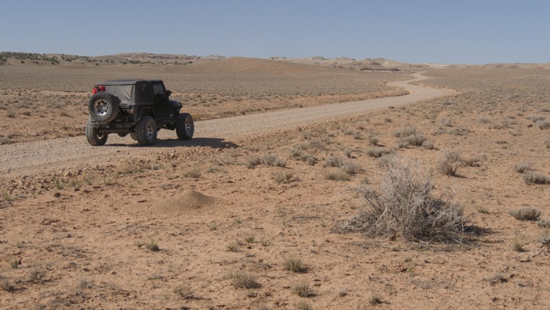
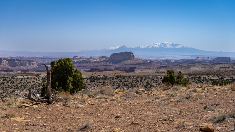
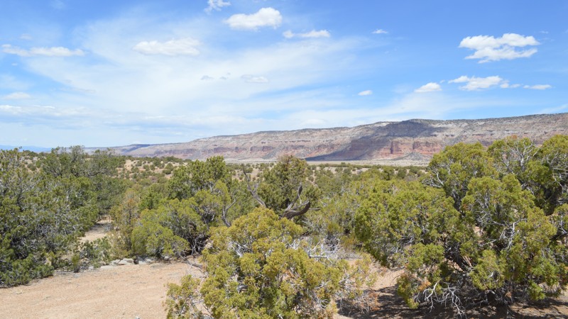
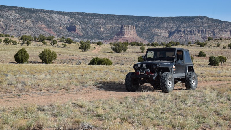
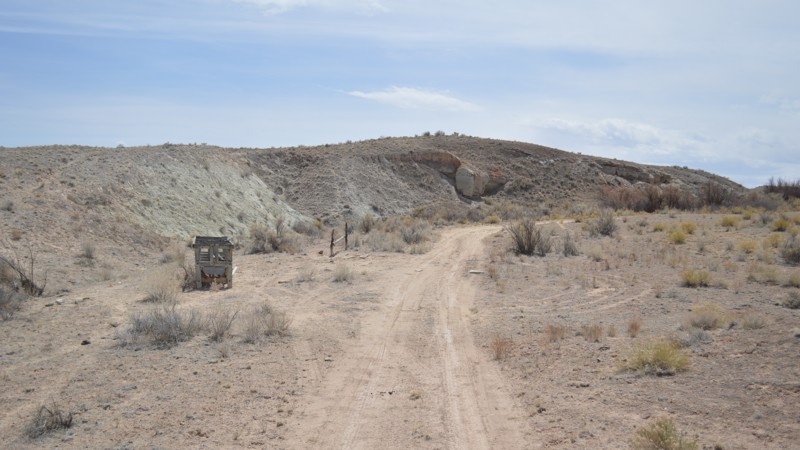
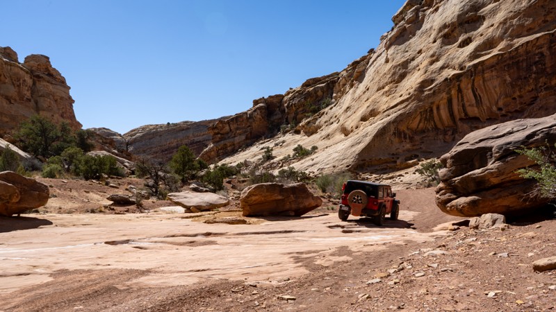
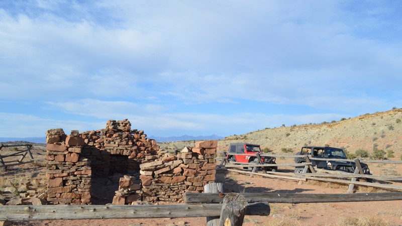
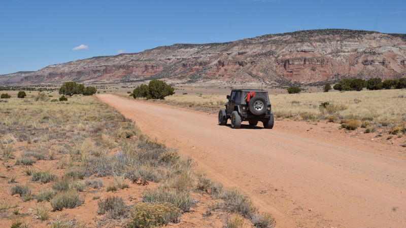
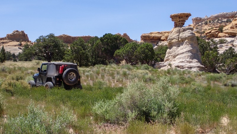
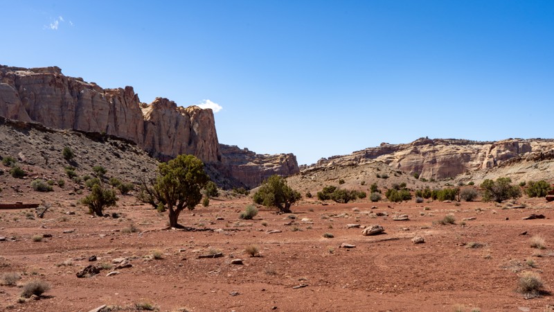
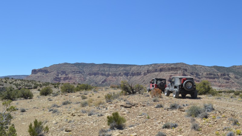
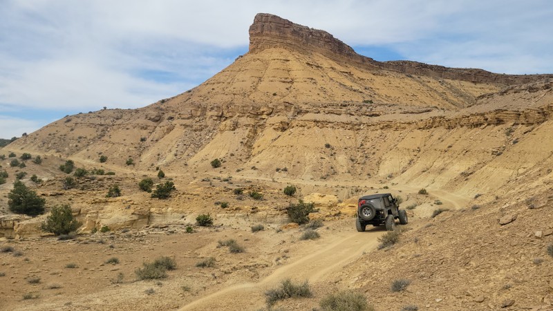
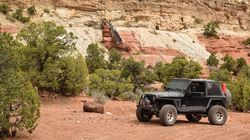
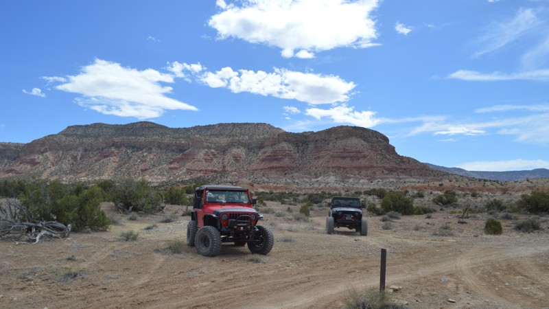
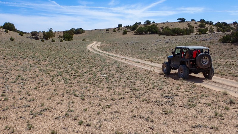
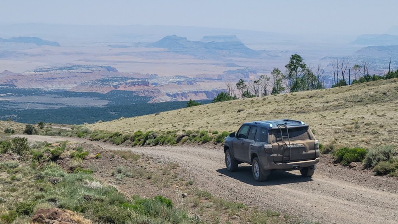
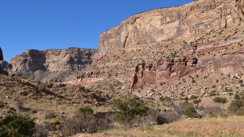
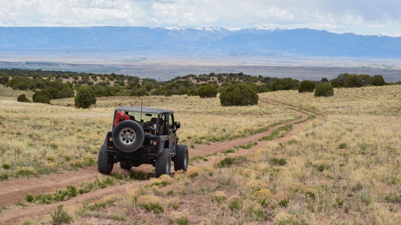
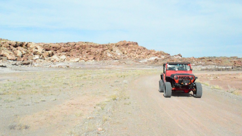
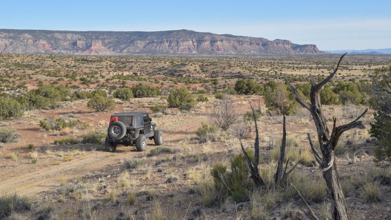
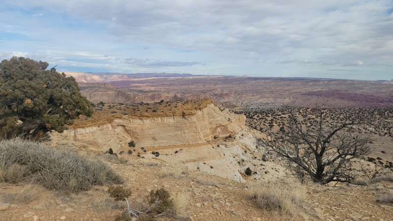
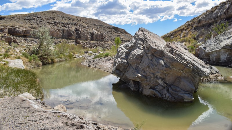
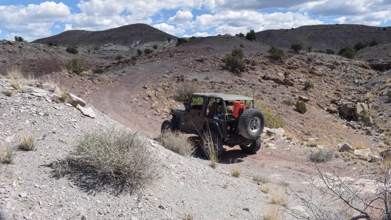
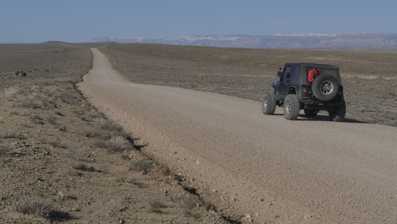
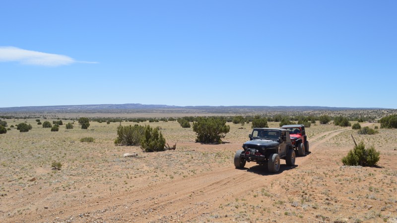
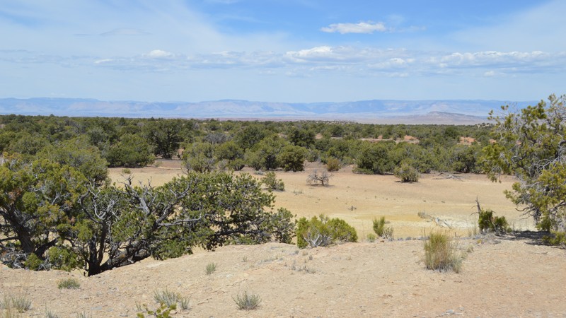
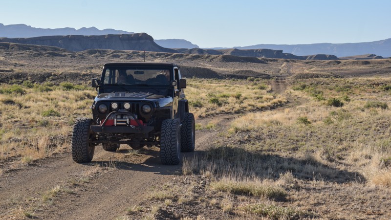
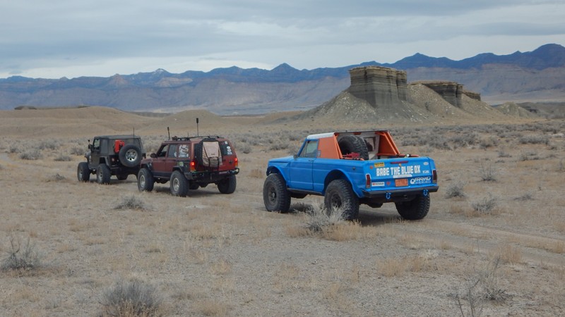
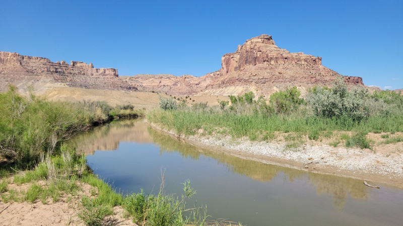
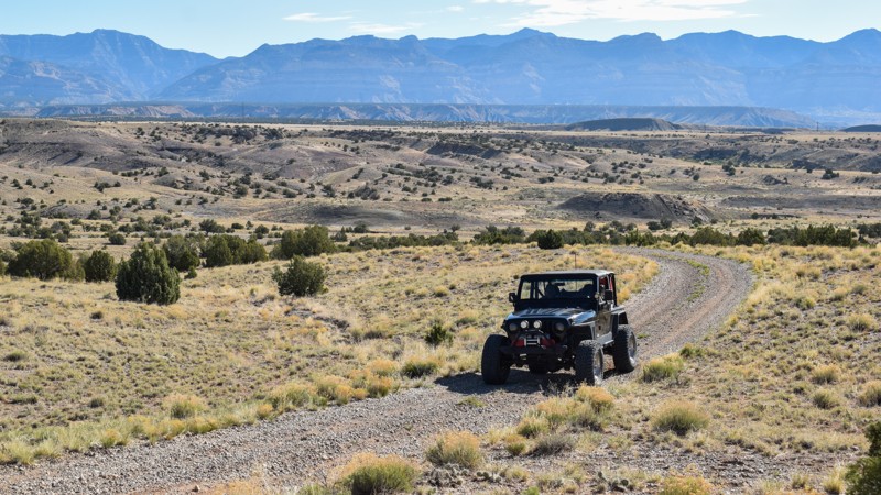
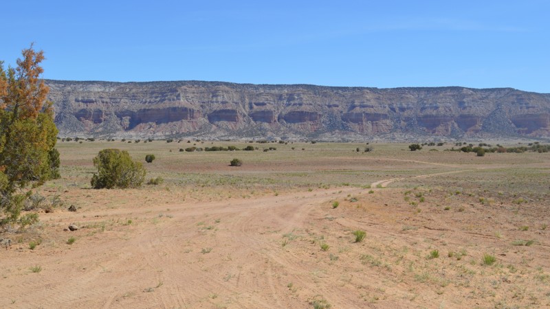
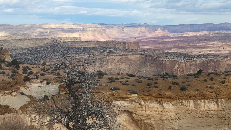
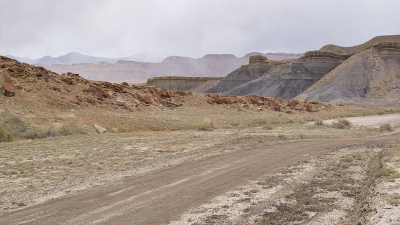
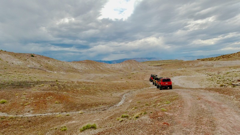
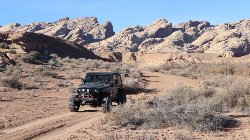
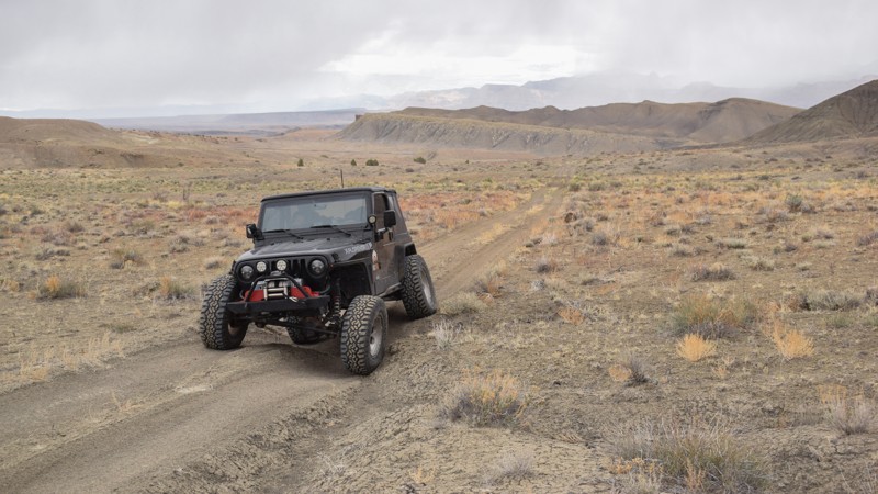
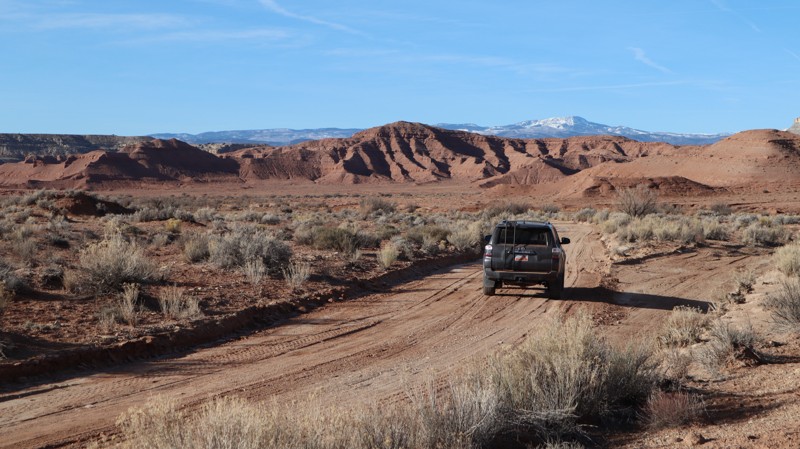
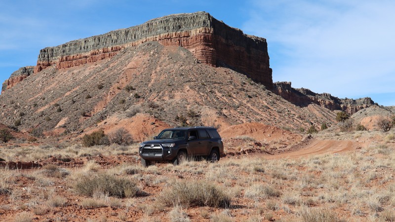
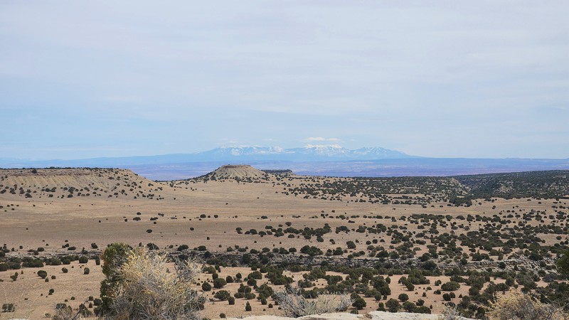
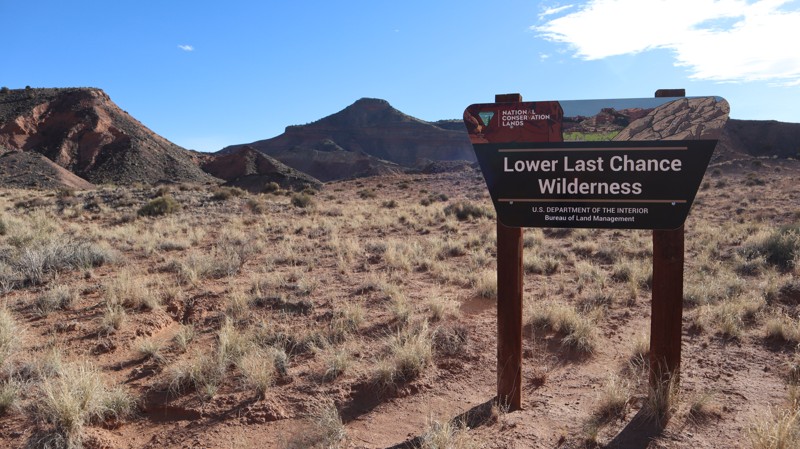
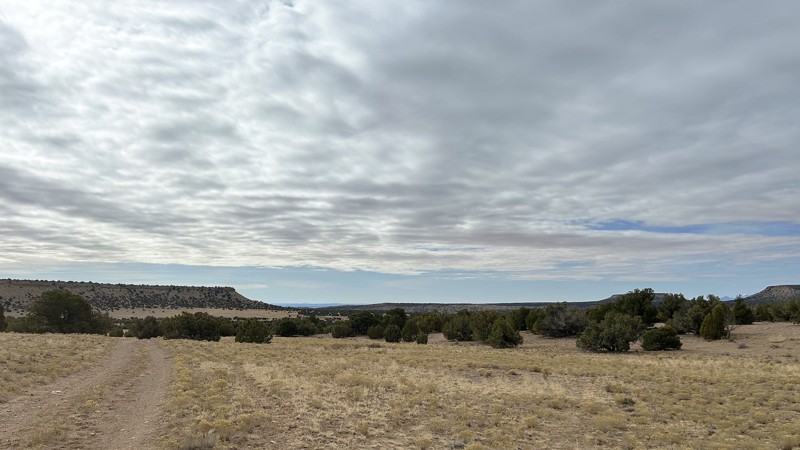
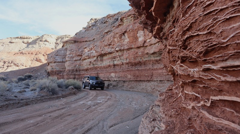
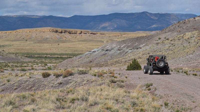
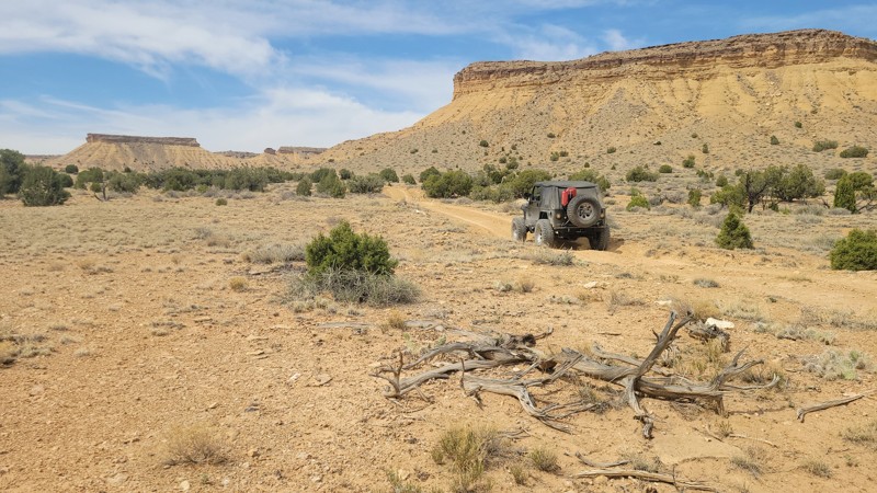
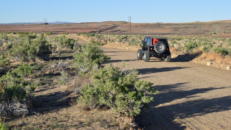
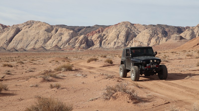
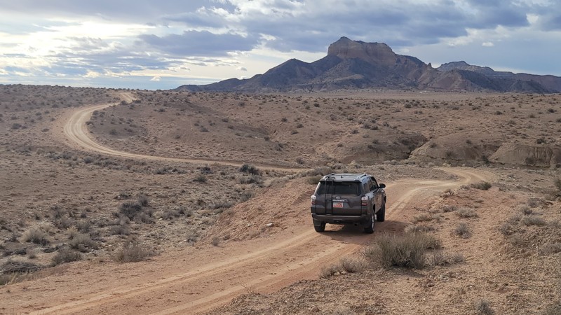
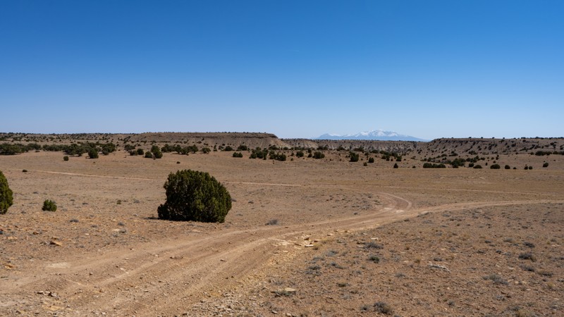
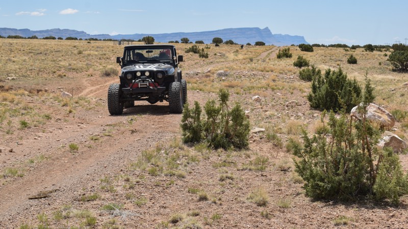
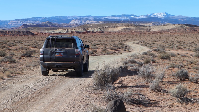
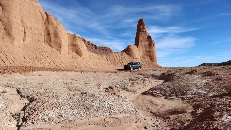
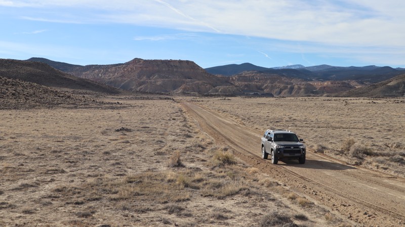
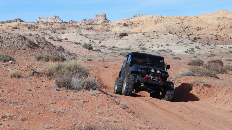
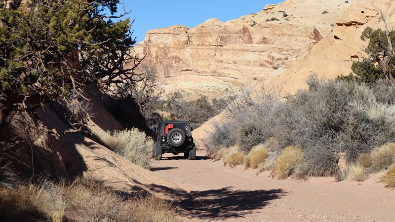
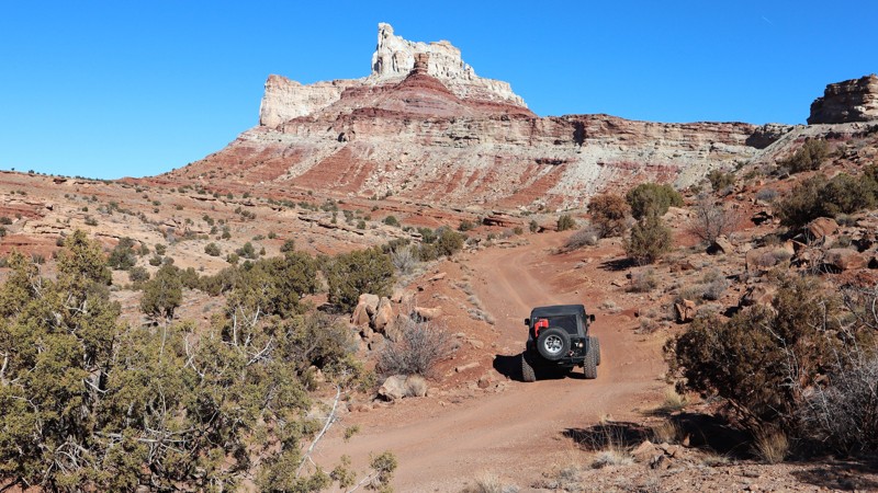
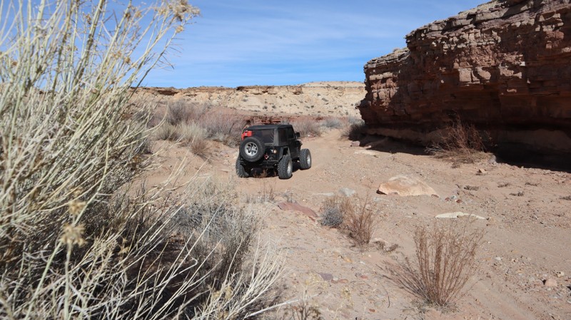
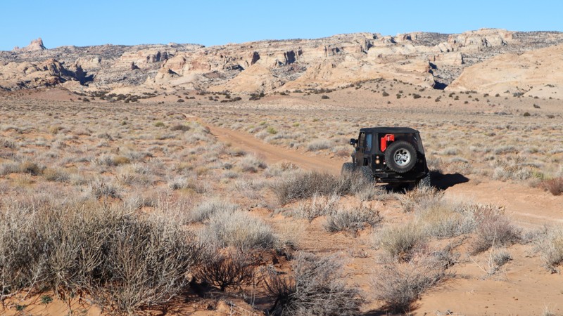
Tucked into the shadows of the Molen Reef and the Coal Cliffs lies a beautiful area seldom explored. Here in the west side of the San Rafael Swell, you can experience mesmerizing sunrises over the Swell, incredible lightning storms in the great distance, and nice cool evenings after a typical hot desert day. Far away from the popular trails in the heart of the Swell, this trail still boasts some awesome features. The views all along the trail are great, looking over the vast Central Utah desert to the east, and looking up to the Molen Reef to the west. As you wind your way through the trail, you will cross numerous washes and rolling painted hills of bentonite clay as you reach Broken Pond. Although the pond is nothing spectacular, it does feel like a little oasis in the middle of nowhere. Camping is also plentiful along this route and you are likely to be alone, even on the weekends. Although it may not be connected to many other trails, it is still near the outer edge of an entire network of trails worth exploring over the course of a few days. This is a nice and quiet little area to explore and can take up a nice full day if you are passing through.