




By clicking "ACCEPT", you agree to be the terms and conditions of each policy linked to above. You also agree to the storing of cookies on your device to facilitate the operation and functionality of our site, enhance and customize your user experience, and to analyze how our site is used.
California Off-Road Trails
415
Total Trail Guides 392

4112
Detailed Waypoints 524
Try a Free 7-Day Trial and unlock it all
Start a Free Trial Most Recent Trail Reviews
Rated 5/5
Open
Visited: 09/19/2026
Great beginner trail here for those looking to try out some rockier sections. Starting to trend a little closer to a rating of 4, but still a 3 I’d say

R
Rob
Rated 5/5
Open
Visited: 09/19/2026
I entered this trail from Freeway Ridge 4WD trail (31E77) and ran Black Gulch Jeep Trail up to Rancheria Road, turned around, and ran Black Gulch Jeep Trail all the way down to Keyesville Road in Lake...



Daniel Macioce
Rated 4/5
Open
Visited: 09/19/2026
Took out the vstrom 800de today and this thing was tough for someone like me who is pretty new to offroading motorcycles. I ended up turning around about half way because I wasn't sure if I would be a...
SK
sean kotrola
No Rating
Open
Visited: 09/19/2026
The trial marked by the app here is very difficult with all the recent deep washouts. Proceed at your own risk if you are by yourself with unmodified rigs. However the bypass is maintained and should ...
TB
Timmy Boby
Rated 5/5
Open
Visited: 09/18/2026
Very friendly fire watch tower volunteers and fantastic 360 degree views up top
R
Rob
Rated 5/5
Open
Visited: 09/18/2026
Great views and an easy drive through. Be sure to take the road up to the fire watch tower
R
Rob
Rated 5/5
Open
Visited: 09/17/2026
ran the trail twice last weekend, this is such a better way to go than 3n16...


Josh Noesser
Official Crew
Rated 5/5
Open
Visited: 09/16/2026
It's been 6 years since I visited this trail. It has seen some wear, but the overall difficulty is about the same, probably a bit higher now, as Waypoint 11 has suffered from traffic. Waypoint 11 ha...

Robert
Official Crew
Rated 5/5
Open
Visited: 09/16/2026
Started off from polique canyon at way point 13 and headed east. Its a great trail for most of it with scenic views. A good amount mud puddles that were fun as hell to drive through. Some I decided to...


VM
Victor Manuel Garcia
Rated 5/5
Open
Visited: 09/16/2026
Used this trail to get to Holcomb valley. Super easy and a nice drive, I can see how in the winter it can be a bit more challenging with rain and snow.
VM
Victor Manuel Garcia
No Rating
Open
Visited: 09/16/2026
Mostly easy, but heading NE there's a rock step down just a few miles in that *requires* high clearance. Banged the rear end of my 4runner despite having a 3" lift and 33" tires. A stock SUV would alm...



Carlos H.
Rated 5/5
Open
Visited: 09/15/2026
It's been over 4 years since I was last on this trail, and I was very happy to see that the old car was still there. Some research suggests that it is a 1939 Plymouth Road King 5-window coupe.


Robert
Official Crew
Rated 5/5
Open
Visited: 09/14/2026
A fun little detour off Burns Canyon. I ran this alone and stopped a few times to spot; I also used my grill camera in several places. I brushed my sliders a couple times, but no real issues. Definite...
EB
Ed Boyd
Rated 5/5
Open
Visited: 09/13/2026
easy perfect beginner off roader trail with great views and water crossing during the winter.



Dex Offroad
Rated 5/5
Open
Visited: 09/12/2026
Fenders Ferry kept giving me reasons to slow down and enjoy the ride. I loved winding along mountain ridges, following creeks, and catching glimpses of Shasta Lake's fingers tucked between the hills. ...



Rose Meirs
Official Crew
Rated 5/5
Open
Visited: 09/11/2026
super easy trail over looking the valley and 15fwy. only bad thing is that its super windy.

Dex Offroad
No Rating
Partially Open
Visited: 09/09/2026
Although you can cross the creek from Fordyce if you want, Committee Road is still closed back to the I80, so this has no exit, and you'll be forced back onto Fordyce.

Ryan Boudreau
Official Crew
No Rating
Temporary Closure
Visited: 09/09/2026
Road is still closed. I thought i read somewhere an expected 2030 opening, but can't confirm that info.
Ryan Boudreau
Official Crew
Rated 5/5
Open
Visited: 09/09/2026
This is an awesome trail . This trail is moderate with a few obstacles to make it fun. It also has incredible scenic views with a little bit of shelf roads. You can watch the full video on my YouTube ...


Dex Offroad
Rated 5/5
Open
Visited: 09/07/2026
Pretty spot on with the rating, was a little tough today with the rain but made it through in my 2023 Gladiator Overland with 2.5” lift and 35s with autolynx sway disconnects.


CT
Christopher Tanton

Shaan Heugly
Rated 5/5
Open
Visited: 09/06/2026
Drove reverse from what’s listed to the jasper trail. This is a easy but enjoyable trail with plenty of places to camp at the end of the
Shaan Heugly
Rated 5/5
Open
Visited: 09/06/2026
Bit washed near the top but nothing difficult to navigate. I headed from jasper to the highway and near the highway it did narrow. I got through with my Tacoma but there are a few pinch points I could...
Shaan Heugly
Rated 5/5
Open
Visited: 09/06/2026
Mostly easy trail but when going south to north, I did need to use 4Lo on some of the inclines with a loaded Tacoma
Shaan Heugly
Rated 4/5
Open
Visited: 09/05/2026
It had been five years since I last drove this trail. The long, annoying stretches of moguls are still there, and water erosion has added a touch more difficulty in places. It was nice to see the old ...


Robert
Official Crew
Rated 4/5
Open
Visited: 09/05/2026
This is a nice trail with great views for any 4WD with ground clearance as some sections have ruts that are 12+ inches deep. Things were very dry on my visit, so airing down the tires helped to smooth...


SG
Steve Graham
Rated 3/5
Open
Visited: 09/05/2026
From waypoint 7 to 10 the water damage is pretty bad. Waypoint 13-16 it is rocky. Nothing crazy but a few spots where patience and the right line will go a long way. Good clearance and 4x4 recommended
N
Noah
Rated 5/5
Open
Visited: 09/05/2026
Easy trail with an awesome view at the end. There were three lookouts in the fire tower and each one was super friendly and informative. Must see trail!


N
Noah
Rated 5/5
Open
Visited: 09/05/2026
fun easy trail, Butler Peak lookout is the highlight imo
N
Noah
Rated 5/5
Open
Visited: 09/04/2026
Trail was very well maintained. Thanks for the Fresno 4x4 club. It was very cold at night, into the 30s. We were on the trail two nights, 3 days and two nights at voyager rock due to a breakdown fr...
JD
John Drago
No Rating
Open
Visited: 09/04/2026
Beautiful area, but the trail itself wasn’t very interesting. I’d rate it around a 3/10, with a couple of optional sections that might push a 4.
There’s tons of dispersed camping throughout the area,...


Ryan Smith
Rated 5/5
Open
Visited: 09/01/2026
awesome trail with a lot of water crossings. just be careful of sxs and bikes since its a OHV area.

Dex Offroad
Rated 5/5
Open
Visited: 09/01/2026
Super easy trail and you can over look the high desert. Trail ends at an awesome view point.

Dex Offroad
Dex Offroad
Rated 5/5
Open
Visited: 08/31/2026
This trail is much harder than it used to be. It’s just as breathtakingly beautiful as ever. You are on your own out there. Fuel, parts, spare tire. It’s days from help if you need it so go prepared. ...

CP
Christopher Pepin
No Rating
Open
Visited: 08/30/2026
Ran this trail today and had fun. Easy trail with great views. I wouldn’t hesitate to take an experienced driver in a stock jeep up this. There are lots of trails in this area and way to get off the m...

CP
Christopher Pepin
No Rating
Open
Visited: 08/29/2026
Trail was in good shape, a little less sand makes the boulders a little bigger. People have made the bypass around the sluice a little bit longer than it used to be you miss a lot of the good rocks. O...
C
Campbell
Rated 5/5
Open
Visited: 08/29/2026
An often overlooked and amazing trail. It’s about the length and difficulty of the rubicon if you don’t hit any of the bypasses on the rubicon. We had a group of 3 lj on 40s, a jku on 42s, and an Xj o...
CP
Christopher Pepin
Rated 4/5
Open
Visited: 08/27/2026
This is most definitely a hard trail. Is the entire thing hard? Not at all. The western 7 miles are a hard packed dirt road. Then you run into 3 straight, large boulder obstacles where its clear many ...


Ryan Boudreau
Official Crew
Rated 4/5
Open
Visited: 08/27/2026
Easy drive with beautiful views and . . . Buck Rock! Lots of camping south of Buck Rock, but camping north of the Rock isn't as plentiful. There are a few others on the north, but there's one here: 36...


Carlos H.
Rated 5/5
Open
Visited: 08/26/2026
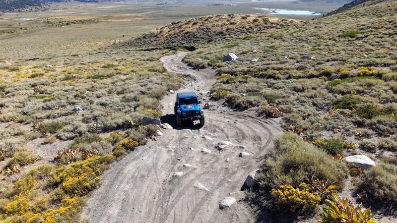
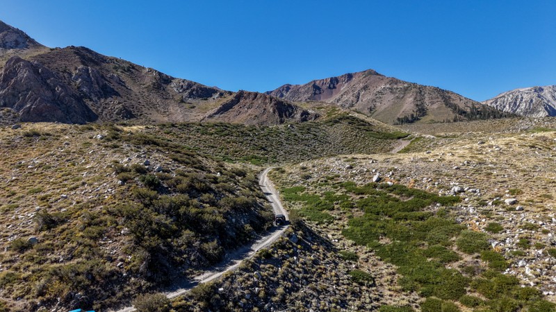
5 stars all day! This trail is absolutely amazing, and one you do not want to miss if you are in a capable vehicle in the area. It is rough, rocky, steep, and narrow enough to weed out the vanlifers a...
Ryan Boudreau
Official Crew
Rated 5/5
Open
Visited: 08/26/2026
I really enjoyed this road. It's super scenic with the sierra's in the background, the white beaches, and the columns are really cool. The road is not anything challenging with a high clearance vehicl...


Ryan Boudreau
Official Crew
Rated 4/5
Open
Visited: 08/25/2026
Fun area. The hot springs are pretty popular and well-known, and because they are small, you'd better hope you are one of the first people there that day if you want to get in. The route is easy, exce...


Ryan Boudreau
Official Crew
Rated 4/5
Open
Visited: 08/25/2026
I liked this trail a lot, but it's not quite a 5-star trail for me. I feel like it's a little overhyped. Is it scenic? Absolutely! Is there tons of great camping? Totally! Is it a crazy busy? You Bet!...


Ryan Boudreau
Official Crew
Rated 4/5
Open
Visited: 08/25/2026
Road to the hot springs parking area is easy. There are regular passenger cars there. The hike is easy too. The tub itself is super scenic, but know that they are not hidden gems by any means and we'l...

Ryan Boudreau
Official Crew
Rated 3/5
Open
Visited: 08/25/2026
It's a simple road, but definitely very scenic and really only used to get from Convict to Laurel Lakes or Mammoth. Road is suitable for anything with decent ground clearance.


Ryan Boudreau
Official Crew
Rated 2/5
Open
Visited: 08/25/2026
Simple dirt road used to access other types of recreation. Many signs remind you that you aren't allowed to camp along it except at the campground.


Ryan Boudreau
Official Crew
Rated 3/5
Open
Visited: 08/23/2026
Simple, straightforward dirt road used for fishing access.


Ryan Boudreau
Official Crew
Rated 5/5
Open
Visited: 08/23/2026
Amazing views at the top of this trail. Erosion looks to be making this trail harder than it probably originally was. Most of the hardest spots are getting bypasses created around them. A short, st...



Dan Jurgella
Rated 5/5
Open
Visited: 08/23/2026
Toad Lake Road 40N64 was a long, slow, and wonderfully remote drive into the Trinity Divide. The changing mix of old pavement, dirt, loose rock and deep ruts kept the journey interesting, while forest...


Rose Meirs
Official Crew
Most Popular

Updated: 09/10/2026
Hidden Hills Road
Flynn, California
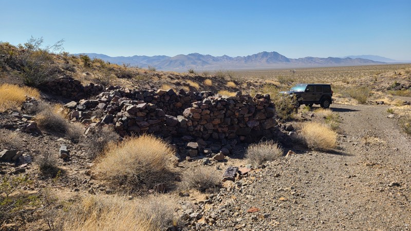
Hidden Hills Road in Mojave National Preserve crosses the Clipper Valley desert basin, providing great views of the Granite and Marble Mountains to the southwest. Along the way, several intersecting roads and trails lead to many mines, prospects, and their interesting ruins. A windmill on the road marks the entrance to the Hidden Hills Mine, which was active in the early 1900s and has one of the better preserved mine mills in the area, with its intact ball mill and gold recovery vats. The east end of the road arrives at Route 66, where gas and food can be found at Najah’s Desert Oasis, and if this is the journey's end, from here is a short connection to I-40.
This is an easy road consisting mostly of sandy gravel with the occasional deep sandy washes to cross over. A two-wheel drive high clearance vehicle, being careful to keep momentum through the sandy washes, would manage this road, but a four-wheel drive is recommended. There is not a single marker along the road, and veering onto an intersecting trail is easy. Following a GPX track is very helpful.
Abundant dispersed camping sites can be found along the road, mostly in the exposed flat desert basin. But better campsites can be found among the rock ruins of the mining camp, as well as tucked up against the nearby Hidden Hills for shelter from the wind. These campsites make great base camps to hike the many established trails and explore the area.
Updated: 10/15/2024
Sunflower Glade Road
Reeves Place, California
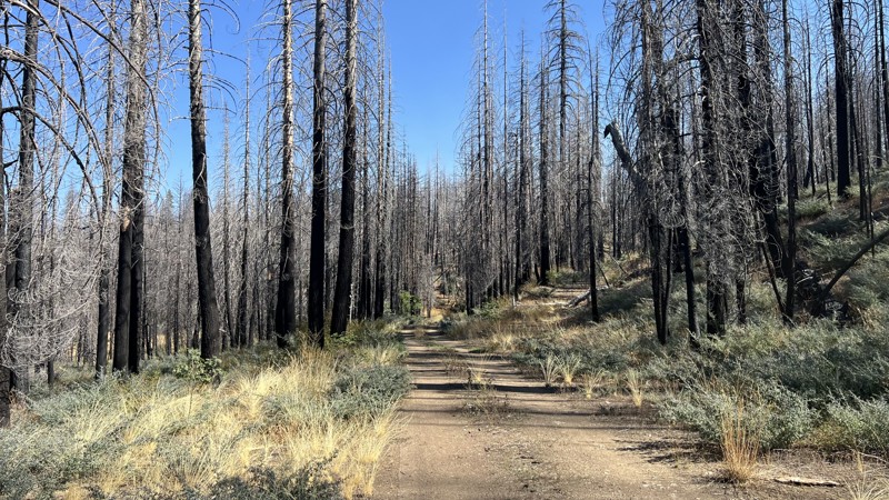
Sunflower Glade Road is a short trail located on the border of The Mendocino National Forest and Yolla Bolly-Middle Eel Wilderness. The surrounding area is mostly burned due to recent wildfires, so there is a high chance of downed trees blocking the road. This trail is an easy, there-and-back trail with a few dispersed camping locations offering no amenities or fire rings. Sunflower Glade Road is a good trail for Overlanders of all skills and vehicles.
Updated: 08/11/2026
Drive Line Hill Bypass
Crystal Lake, California
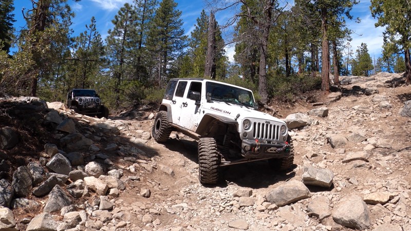
High in the Tahoe National Forest, just off the west side of the iconic Fordyce Creek Trail, sits this short bypass around Fordyce Creek Trail's first major obstacle: Driveline Hill. This bypass can help those in lesser-built rigs looking to get to Eagle Lakes a bit further north, or might be useful for built rock crawling rigs looking to limp off the trail or take it easy through this section of the trail. The Driveline Hill Bypass includes dirt, small to medium-sized rocks, and a short stretch of old blacktop.
There are no dispersed campsites located along this bypass.
Updated: 10/15/2024
El Mirage 4671
Houze Place, California
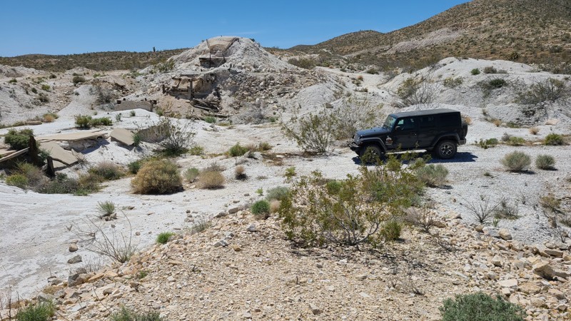
Intersecting Princess Mine Road, this trail invites exploration. EM4671 leads to what once must have been a dock to load the tons of ore mined from the Just Tungsten Quarry further up a private road. Tons of brilliant white ore envelop the site, with a few artifacts remaining that suggest the site's purpose. The loading dock, long unused, now provides a good spot to explore on foot, lunch, or camp.
Updated: 10/15/2024
El Mirage 2780
Houze Place, California
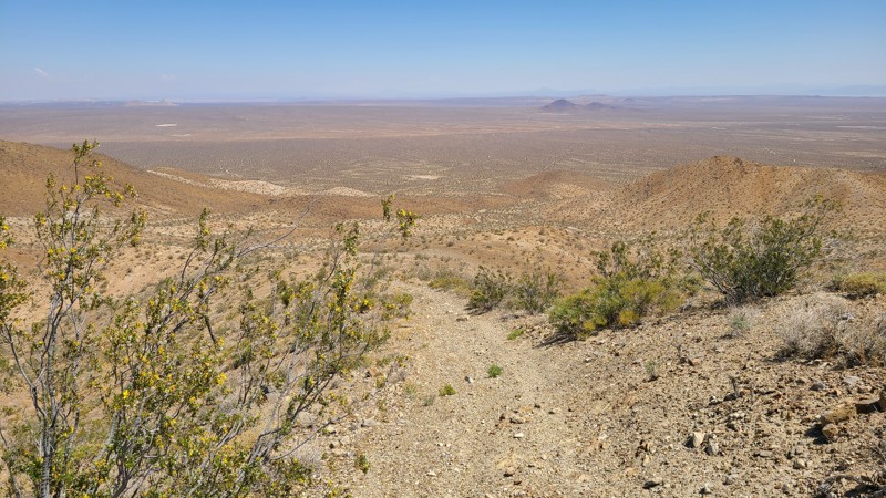
EL Mirage 2780 (EM2780) follows the desert basin floor and over rolling hills, eventually reaching the western foothills of the Shadow Mountains. The highest hills provide panoramic views of the northeastern desert anchored by the twin Red Buttes in the foreground and Harper Dry Lake, visible as a white patch in the distance. Connecting with Princess Pat Mine Road, EM2780 is a gateway into the network of rugged trails once used by the many mines located in the Shadow Mountains.
The El Mirage Subregion is a Limited Use Area requiring vehicles to stay on designated trails. The trails are marked with well-spaced signs to recognize if you are on the trail.
A two-wheel drive vehicle with high clearance and a beginning offroader will do fine on this particular trail, but venturing further into the Shadow Mountains trail network requires an experienced driver in a high clearance four-wheel drive vehicle with a low gear range and all-terrain light truck tires.
Many tortoises are in the area, and a vigilant eye is needed to avoid them as they slowly cross the trail.
There are many suitable locations for dispersed camping on this route, but few previously used sites with rock campfire rings exist.
Updated: 10/15/2024
Kramer Hills 6137
Helendale, California
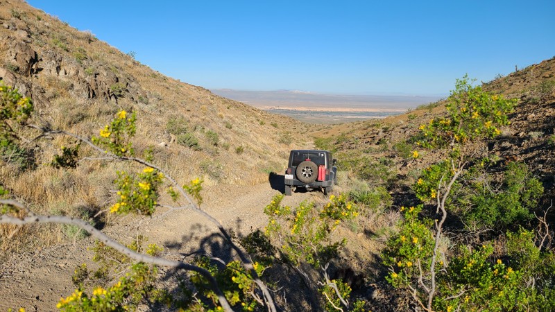
Just two miles west of the Mojave River, KH6137 moves north-south, providing great views across this Mojave Desert basin. KH6137 is an easy trail suitable for a high clearance two-wheel drive vehicle with all-terrain tires.
The northernmost three miles are on public land where flat and clear areas can be found suitable for dispersed camping when meeting the BLM Camping Guidelines.
During high fire danger, campfires may be restricted, and if planning to camp here, one should review the current BLM Campfire Restrictions and have a Campfire Permit.
Updated: 10/15/2024
Stoddard Valley 216
La Delta, California
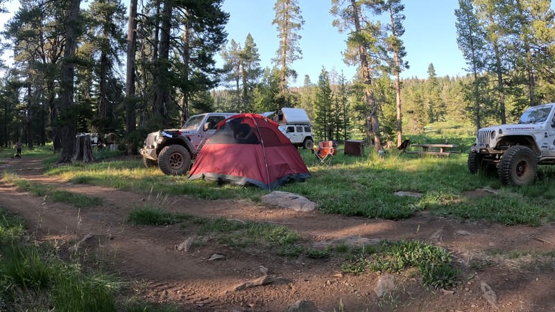
Tucked in a valley of the Silver Mountains north of Victorville, SV216 leads down a mountainside with expansive views to the northwest. This straight-through trail provides connections to several other trails that surround these mountains.
With no existing campsites visible from the trail, a few flat locations provide good camping and views when meeting the BLM Camping Guidelines.
During high fire danger, campfires may be restricted. If planning to camp here, review the current BLM Campfire Restrictions and have a Campfire Permit.
SV216 is an easy but rocky trail requiring a high clearance two-wheel drive vehicle.
Updated: 10/15/2024
Argentine Taylorsville Road
Greenhorn, California
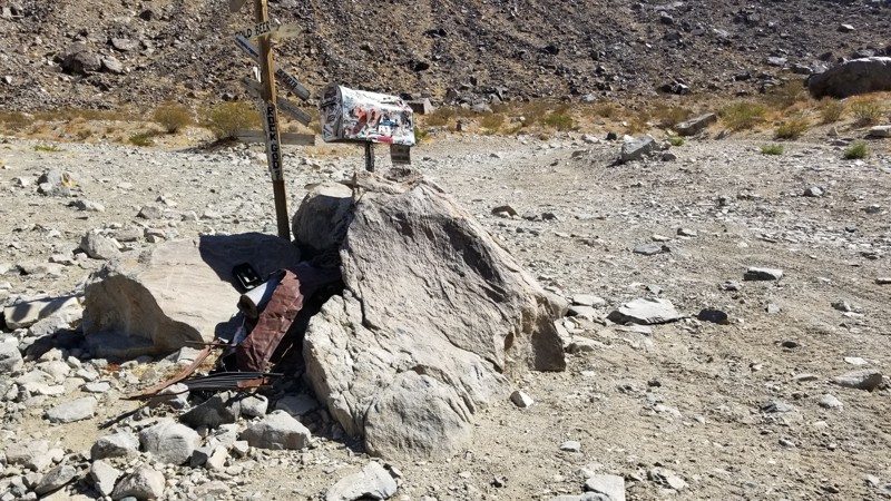
In the Plumas National Forest near Quincy, CA, in the Mt. Hough Ranger District is Argentine Taylorsville Road. This easy dirt road takes you to Brady's Camp, a first-come, first-serve campground. With six campsites, there are plenty of places for friends to escape city life and enjoy a relaxing camping experience at 7000 feet above sea level. With two streams on both sides of the camp, the babbling brook sounds are magical. With the large prairie off on the northeastern side, it would be easy to sit and get lost in the scenic beauty of this area while watching for wild animals to cross. The campsites have a metal fire ring, picnic tables, bear boxes, and a communal vaulted toilet.
Updated: 03/09/2026
Jack and Sledge Connector
Johnson Valley, California
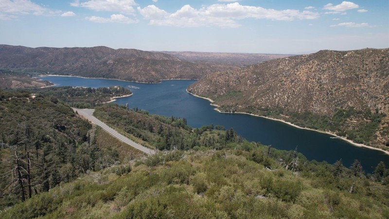
Looking for a way to cut between Jack and Sledge Hammer. Well, this is your cut-through. The Jack and Sledge Connector is a convenient off-road trail at the top of both trails, meaning you can run up one canyon and then back down the other. Of course, the hard part is the other trails, so if you can do those, you should be good to go here. Due to its short nature, camping is not found directly along this trail, but there are endless camping opportunities on surrounding trails.
Updated: 09/29/2025
2N13X Sawpit Connector
Crestline, California
2N03X Sawpit Connector is in the 823,000 acres San Bernardino National Forest just south of the 1500 square mile Silverwood Lake and only a short drive from Interstate 15. The 0.5-mile road meanders just north and parallels Silverwood Lake, providing some beautiful views. With minimal obstacles, this trail is suitable for any high clearance vehicle. Improved campsites are available near the beginning of the trail at Silverwood Lake Recreational Area by reservation and include improved sites for recreational vehicles and trailers. There are no opportunities for dispersed campsites along the trail and no campfires permitted or yellow post campsites. Check the SBNF Dispersed Camping website for closed areas and other restrictions.
Updated: 10/15/2024
Four Palms Spring
Salton City, California
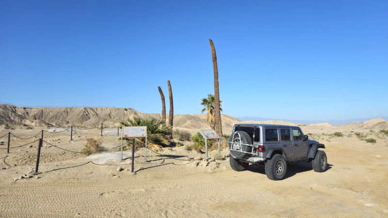
Located in Truckhaven Hills near the Salton Sea, Four Palms Springs is an easy trail that passes one of the unique features of a desert and Oasis. Sitting around 100 feet above sea level, this area is unique to California for some amazing offroading and hidden finds. Any offroad vehicle and skill level should be acceptable since the trail is mostly a dirt road.
The trail offers plenty of areas to disperse camp; camping near one of the palm trees would make for a unique experience. Along the trail, you will find plenty of level areas with flat dirt that would be ideal for ground camping.
Updated: 10/15/2024
Mosquito Creek Trail
Longville, California
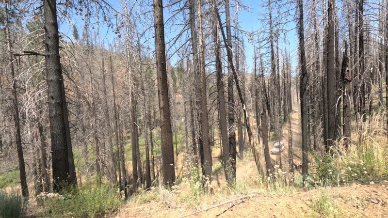
Not far from Humbug Road in the Lassen National Forest is a trail with a name that might strike fear in people's hearts... Or should we say skin. Mosquito Creek Trail, or 26N49, is an easy straight-through trail suitable for any offroad vehicle. Even though this trail has a scary name, the area isn't what it sounds like. This fire-burned area near Soda Springs in Humbug Valley is a pleasant drive near Mosquito Creek and follows the hillside for a pleasant drive. Even though camping is permitted in the area, camping is not found along the route due to the trail's topography.
Updated: 02/18/2026
Old Hesperia
Hesperia, California
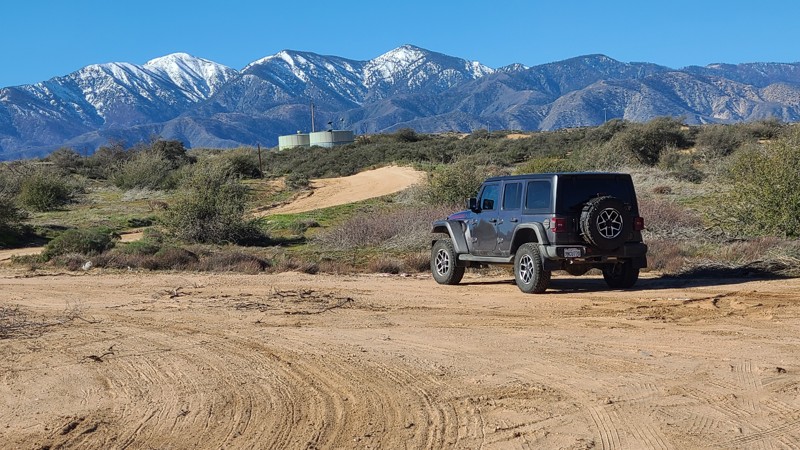
With its quick access off of I-15, Old Hesperia is an easy trail providing wonderful views in the winter of the surrounding snow-capped San Gabriel mountains, with plenty of spots to pull over for lunch or just enjoy the views. Along the way, the trail passes under a railroad trestle where railroad enthusiasts will enjoy stopping to view the frequent trains. Some drivers have used this trail to bypass the frequent I-15 backups that occur around the Cajon Pass Summit.
This is an easy, wide forestry road, but with some significant storm damage creating wide, deep ruts along and across the trail. A two-wheel drive vehicle with high clearance and a driver with minimal off-road experience would enjoy this trail.
There are no suitable campsites, but from the south end of the trail, seven miles east on Highway 138, are the Silverwood Lake Campgrounds.
Updated: 10/15/2024
Stoddard Valley 6505
Wild Crossing, California
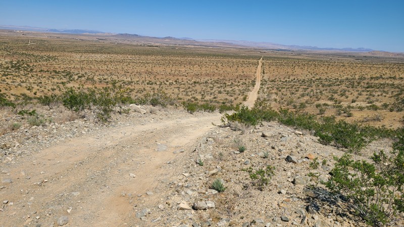
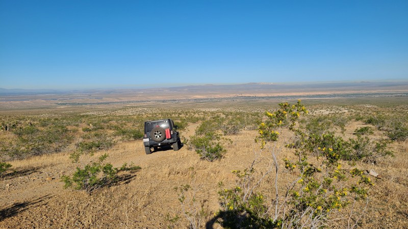
SV6505 largely parallels Route 66 before ending near Victorville. The trail crosses a checkerboard of BLM and private land. The hilly high desert terrain provides a lovely backdrop to the views at the top of the hills.
With no existing campsites visible from the trail, a few locations on BLM land provide good dispersed camping sites with views when meeting the BLM Camping Guidelines.
During high fire danger, campfires may be restricted. If planning to camp, review the current BLM Campfire Restrictions and have a Campfire Permit.
SV6505 is a rocky trail rising and falling over several steep foothills where the loose rock, uneven trail, and steepness require a high clearance four-wheel drive vehicle with good all-terrain tires and an experienced driver.
Updated: 10/15/2024
Stoddard Valley 6518
La Delta, California
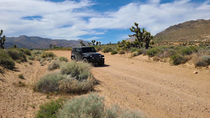
SV6518 follows a gentle slope down from the edge of the Silver Mountains yet retains enough elevation for expansive views to the west. This straight-through trail connects to several other trails to explore.
The westernmost 3/4 miles of the trail is on public land, providing a few flat locations for dispersed camping when meeting the BLM Camping Guidelines.
During high fire danger, campfires may be restricted. If planning to camp, review the current BLM Campfire Restrictions and have a Campfire Permit.
SV6518 is easily driven in a high clearance two-wheel drive vehicle with good all-terrain tires.
Updated: 10/15/2024
Bird Spring Road SC106
Sageland, California
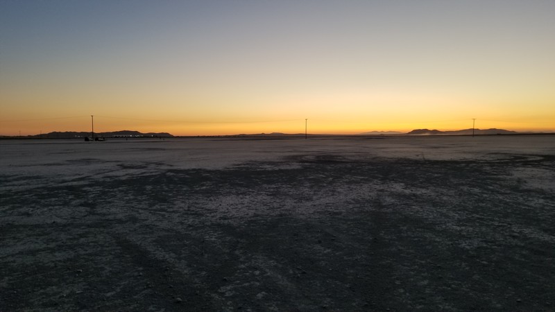
Bird Spring Road is part of the Bureau of Land Management's Scodie Subregion and is near the southernmost foothills of the Scodie Mountains. This straight-through road flows southeast over a well-maintained, wide, sandy road on this flat, high desert connecting several other roads and hiking trails. Its termination at LA Aqueduct Road provides a quick exit towards Highway 14.
The road is wide and well maintained and an easy drive for new offroaders, but it still requires a high clearance 4x4 to manage the soft sand and occasionally exposed rocks.
BLM has prepared primitive campsites at the premium locations, easily identified by posted signs noting a 15-mile speed limit when campers are present. Camping there or at suitable dispersed sites on BLM land can be enjoyed when meeting the BLM Camping Guidelines. During high fire danger, campfires may be restricted, and if planning to camp here, one should review the current BLM Campfire Restrictions and have a Campfire Permit.
Updated: 09/29/2025
El Mirage Lake Road
El Mirage, California
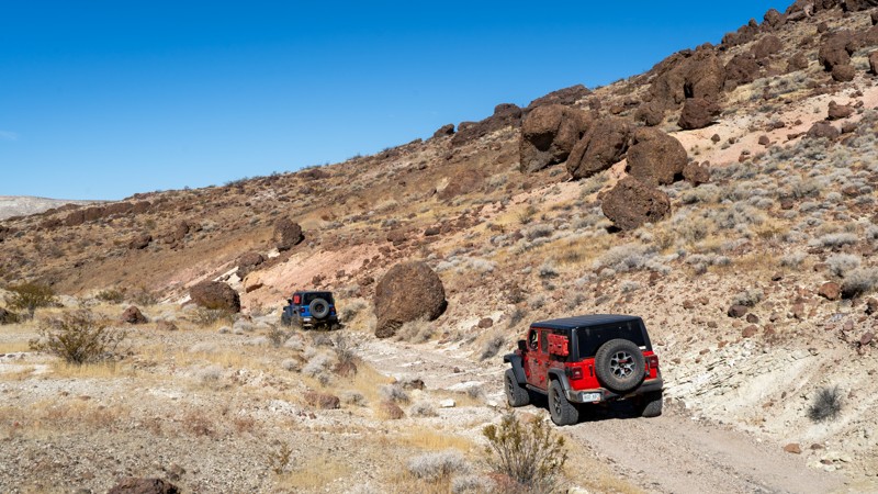
El Mirage Dry Lake Bed is a popular OHV area that encompasses 27,275 acres of recreational opportunities for motorcycles, ATVs, trucks, cars, buggies, land yachts, model airplanes, model rockets, ultra-light aircraft, gyrocopters, and parasail. The lake bed is the site of many old land speed records and is an excellent place to gather speed. The Lake Road offers eight access points to the lake bed, which closes when it is wet or muddy. For current conditions and closure status of the El Mirage Dry Lake Bed, contact the BAFO at (760) 252-6000.
A permit is required to spend the day here or camp overnight. You can buy the permits at vending machines at the entrance or at the BLM Office. For current pricing, see the BLM website. Daily Passes are valid from the day of purchase until noon the next day.
You are allowed to disperse camp almost anywhere around the lake's perimeter, but camping on the lakebed itself and within 100 feet of it is prohibited. The area is well-marked, so you can easily find the boundary of the lakebed. Around the lake, you will find several outhouses for tent campers.
Updated: 07/14/2025
Red Buttes
Saltdale, California
Red Buttes is numbered 86A and resides entirely within Red Rock Canyon State Park. It splits two red buttes and connects Last Chance Canyon with Pleasant Valley Road, and you can drive it in either direction. Visually, it contrasts reddish-brown lava rock against whitish volcanic tuff and mixes, and, from start to finish, will give you something to look at. Volcanic bombs (balls) line the trail in sections twice the size of the vehicles most likely driving this trail. There is plenty of evidence to suggest that this area was active with mining, and towards the eastern end, there are numerous old car carcasses and mining equipment.
The road is non-technical and suitable for any high-clearance vehicle. Dispersed camping is prohibited within the State Park.
Updated: 07/16/2026
Little Bear Spring
Fawnskin, California
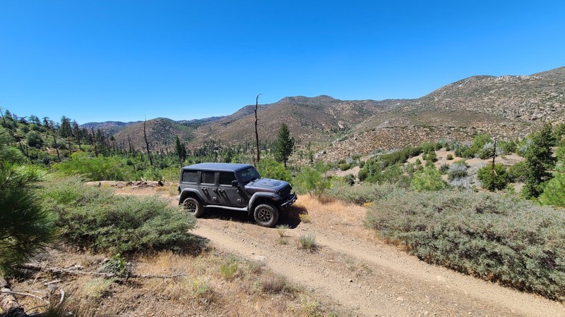
Little Bear Spring is an out-and-back road following the mountain ridges on the south side of a valley formed by Holcomb Creek 400 feet below. The trail offers a peaceful escape, with views across the valley to the northern mountain peaks and a recovering forest from recent forest fires.
This is an easy trail requiring a high-clearance two-wheel drive vehicle. There are no major obstacles beyond the gauntlet of overgrown bushes over large sections of the trail that will cause pinstriping.
Camping is available at Yellow Post #5, located just ¼ mile into the trail, and at a single suitable dispersed site on a wide, flat area near the end of the trail.
Updated: 03/13/2025
Chicken Ranch Mine
Lone Pine, California
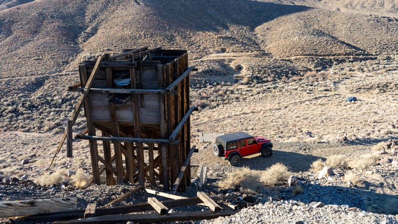
If you are camping on Chicken Ranch, you can't help but notice this mine structure. Little information is known about this particular location. However, nearby Lone Pine was the supply town for the more famous mines of Cerro Gordo, Swansea, and Kearsarge. If you plan on driving up, the road is mildly steep with loose rocks and room for only one vehicle to park at the top.
At the bottom along the washy area are old stone structures; if you look closely enough, one appears to be a fireplace, and there are also a couple of horizontal adits.
Once at the top, you're greeted by the rusting remains of an old mining operation set against the breathtaking Sierra Nevada mountains. The most striking feature is the massive gear-driven hoist system, once used to lower miners and haul ore from deep underground. Nearby, a weathered wooden headframe and an ore bin stand as silent reminders of the mine's heyday, when this region was rich with the pursuit of gold, silver, and tungsten. Scattered pieces of machinery and crumbling timbers hint at the intense labor that took place here, extracting valuable minerals that fueled California's mining boom.
Updated: 03/13/2025
Valley Spur to Nothing
Lone Pine, California
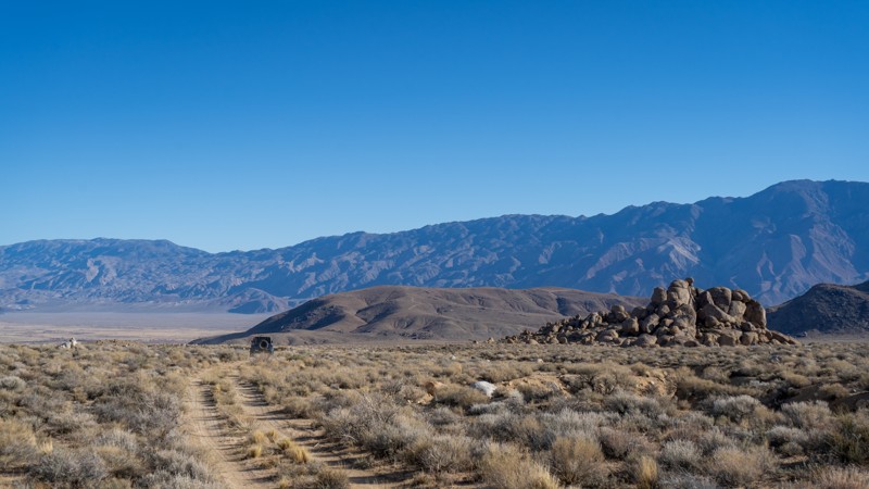
Sometimes, all you need is a little time to yourself. This short out-and-back spur provides just that! Located north of the popular Movie Flat, this easy dirt road leads to nothing except a little piece and quiet. Travelers should expect a few softball-sized embedded rocks, incredible views of the Sierras and the rock fins of Alamaba Hills, and a single trail all to themselves. Unfortunately, camping is not available along this abandoned road.
Updated: 03/13/2025
Horseshoe Meadows Sites 9-10
Lone Pine, California
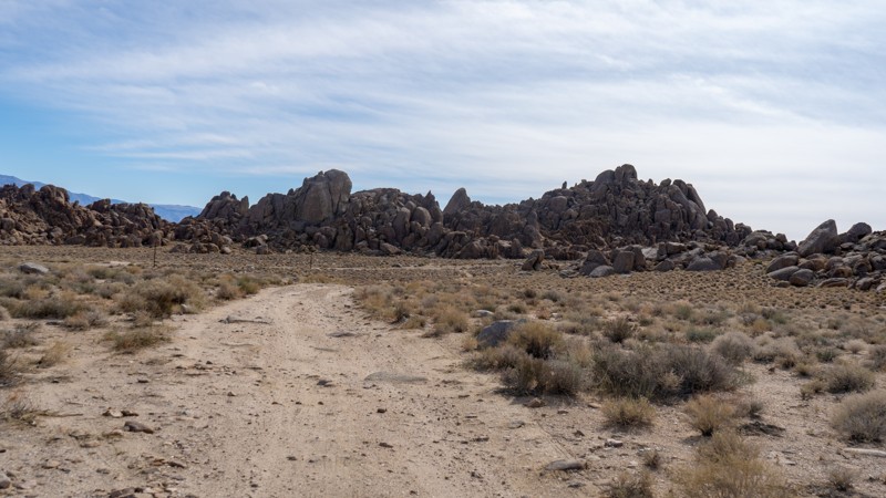
Located south of Movie Flat, Horseshoe Meadows hosts 10 of the designated campsites allowed in the area. This spur is the furthest north along Horseshoe Flats and contains sites 9 and 10. The road to reach these sites is rather bumpy and rough, but nothing that a stock high clearance vehicle can't handle.
About the camping on this route:
All dispersed camping is designated to a specific site and requires a permit. A permit can be obtained online or at the Eastern Sierra Visitor Center or kiosks located on Movie Road and the main entry point in Lone Pine. Permits need to be signed and displayed on your dashboard.
The BLM has created a map showing the site numbers. However, those numbers are not used in the field, but each site is clearly marked with either a camping allowed or no camping allowed symbol on a clearly visible sign. Please be aware that all sites are first come, first served, and a permit does not guarantee you will find a site. Due to the popularity of the area, it is best to arrive early.
There are six portable restrooms throughout Alabama Hills. If you do not want to drive or walk to one, you must bring your own system to pack out human waste.
Below is a brief description of each site on this route:
- 9: is located on the eastern side of the trail, butted up against a large rock, with room for two vehicles and ground tents.
- 10: is just across the trail and is similar in size. Neither site is very protected from the sun or elements, and they are within earshot of each other, but they would make decent sites if the bulk of the Movie Flats sites were already taken.
Updated: 10/15/2024
Kramer Hills 6120
Adelanto, California
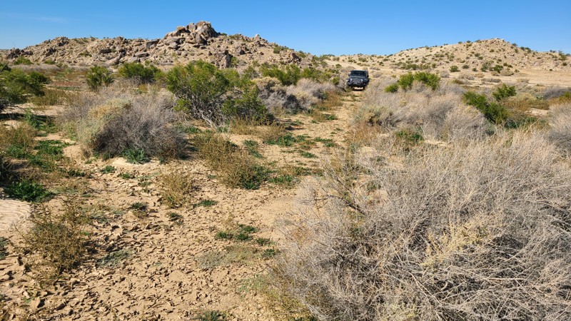
At times, driving KH6120 feels as if you are breaking trail on this little used motor path. Rain has washed away any tracks in certain sections except for the coyotes and rabbits, which are easily seen on the smooth sandy surface. The trail surface of KH6120 sometimes consists of soft, deep sand, and a high clearance four-wheel drive vehicle with all-terrain tires is recommended.
The easternmost 1.5 miles of the trail are on public land with suitable areas for dispersed camping when meeting the BLM Camping Guidelines.
During high fire danger, campfires may be restricted, and if planning to camp here, one should review the current BLM Campfire Restrictions and have a Campfire Permit.
Updated: 03/20/2025
Opal Canyon Road
Ricardo, California
Bridging the gap between Red Rock-Inyokern Road and Trail 86B, Opal Canyon Road is a relatively smooth sandy trail, with only a few washboards to worry about along the drive. The trail is wide most of the way and a quick travel, giving you access to Opal Trail and many of the other trail options within Red Rock Canyon State Park. Although not a destination of its own, you are sure to travel this smooth sand at some point if you are looking to avoid pavement and travel as much of the park as possible. Since the trail is contained within Red Rock Canyon State Park, camping is not permitted along the trail. The only available camping within the park is at the Ricardo Campground across CA-14 near the state park visitors center.

Upgrade your Membership
Unlock all of the details on every Trail Guide and Scout Route.
Start a 7-day Free TrialBrowse Trails in California by City
Browse every California city with offroad trail guides.
Community
Partners

