




By clicking "ACCEPT", you agree to be the terms and conditions of each policy linked to above. You also agree to the storing of cookies on your device to facilitate the operation and functionality of our site, enhance and customize your user experience, and to analyze how our site is used.
California Off-Road Trails
415
Total Trail Guides 392

4106
Detailed Waypoints 524
Try a Free 7-Day Trial and unlock it all
Start a Free Trial Most Recent Trail Reviews
Rated 5/5
Open
Visited: 09/19/2026
Great beginner trail here for those looking to try out some rockier sections. Starting to trend a little closer to a rating of 4, but still a 3 I’d say

R
Rob
Rated 5/5
Open
Visited: 09/19/2026
I entered this trail from Freeway Ridge 4WD trail (31E77) and ran Black Gulch Jeep Trail up to Rancheria Road, turned around, and ran Black Gulch Jeep Trail all the way down to Keyesville Road in Lake...



Daniel Macioce
Rated 4/5
Open
Visited: 09/19/2026
Took out the vstrom 800de today and this thing was tough for someone like me who is pretty new to offroading motorcycles. I ended up turning around about half way because I wasn't sure if I would be a...
SK
sean kotrola
No Rating
Open
Visited: 09/19/2026
The trial marked by the app here is very difficult with all the recent deep washouts. Proceed at your own risk if you are by yourself with unmodified rigs. However the bypass is maintained and should ...
TB
Timmy Boby
Rated 5/5
Open
Visited: 09/18/2026
Very friendly fire watch tower volunteers and fantastic 360 degree views up top
R
Rob
Rated 5/5
Open
Visited: 09/18/2026
Great views and an easy drive through. Be sure to take the road up to the fire watch tower
R
Rob
Rated 5/5
Open
Visited: 09/17/2026
ran the trail twice last weekend, this is such a better way to go than 3n16...


Josh Noesser
Official Crew
Rated 5/5
Open
Visited: 09/16/2026
It's been 6 years since I visited this trail. It has seen some wear, but the overall difficulty is about the same, probably a bit higher now, as Waypoint 11 has suffered from traffic. Waypoint 11 ha...

Robert
Official Crew
Rated 5/5
Open
Visited: 09/16/2026
Started off from polique canyon at way point 13 and headed east. Its a great trail for most of it with scenic views. A good amount mud puddles that were fun as hell to drive through. Some I decided to...


VM
Victor Manuel Garcia
Rated 5/5
Open
Visited: 09/16/2026
Used this trail to get to Holcomb valley. Super easy and a nice drive, I can see how in the winter it can be a bit more challenging with rain and snow.
VM
Victor Manuel Garcia
No Rating
Open
Visited: 09/16/2026
Mostly easy, but heading NE there's a rock step down just a few miles in that *requires* high clearance. Banged the rear end of my 4runner despite having a 3" lift and 33" tires. A stock SUV would alm...



Carlos H.
Rated 5/5
Open
Visited: 09/15/2026
It's been over 4 years since I was last on this trail, and I was very happy to see that the old car was still there. Some research suggests that it is a 1939 Plymouth Road King 5-window coupe.


Robert
Official Crew
Rated 5/5
Open
Visited: 09/14/2026
A fun little detour off Burns Canyon. I ran this alone and stopped a few times to spot; I also used my grill camera in several places. I brushed my sliders a couple times, but no real issues. Definite...
EB
Ed Boyd
Rated 5/5
Open
Visited: 09/13/2026
easy perfect beginner off roader trail with great views and water crossing during the winter.



Dex Offroad
Rated 5/5
Open
Visited: 09/12/2026
Fenders Ferry kept giving me reasons to slow down and enjoy the ride. I loved winding along mountain ridges, following creeks, and catching glimpses of Shasta Lake's fingers tucked between the hills. ...



Rose Meirs
Official Crew
Rated 5/5
Open
Visited: 09/11/2026
super easy trail over looking the valley and 15fwy. only bad thing is that its super windy.

Dex Offroad
No Rating
Partially Open
Visited: 09/09/2026
Although you can cross the creek from Fordyce if you want, Committee Road is still closed back to the I80, so this has no exit, and you'll be forced back onto Fordyce.

Ryan Boudreau
Official Crew
No Rating
Temporary Closure
Visited: 09/09/2026
Road is still closed. I thought i read somewhere an expected 2030 opening, but can't confirm that info.
Ryan Boudreau
Official Crew
Rated 5/5
Open
Visited: 09/09/2026
This is an awesome trail . This trail is moderate with a few obstacles to make it fun. It also has incredible scenic views with a little bit of shelf roads. You can watch the full video on my YouTube ...


Dex Offroad
Rated 5/5
Open
Visited: 09/07/2026
Pretty spot on with the rating, was a little tough today with the rain but made it through in my 2023 Gladiator Overland with 2.5” lift and 35s with autolynx sway disconnects.


CT
Christopher Tanton

Shaan Heugly
Rated 5/5
Open
Visited: 09/06/2026
Drove reverse from what’s listed to the jasper trail. This is a easy but enjoyable trail with plenty of places to camp at the end of the
Shaan Heugly
Rated 5/5
Open
Visited: 09/06/2026
Bit washed near the top but nothing difficult to navigate. I headed from jasper to the highway and near the highway it did narrow. I got through with my Tacoma but there are a few pinch points I could...
Shaan Heugly
Rated 5/5
Open
Visited: 09/06/2026
Mostly easy trail but when going south to north, I did need to use 4Lo on some of the inclines with a loaded Tacoma
Shaan Heugly
Rated 4/5
Open
Visited: 09/05/2026
It had been five years since I last drove this trail. The long, annoying stretches of moguls are still there, and water erosion has added a touch more difficulty in places. It was nice to see the old ...


Robert
Official Crew
Rated 4/5
Open
Visited: 09/05/2026
This is a nice trail with great views for any 4WD with ground clearance as some sections have ruts that are 12+ inches deep. Things were very dry on my visit, so airing down the tires helped to smooth...


SG
Steve Graham
Rated 3/5
Open
Visited: 09/05/2026
From waypoint 7 to 10 the water damage is pretty bad. Waypoint 13-16 it is rocky. Nothing crazy but a few spots where patience and the right line will go a long way. Good clearance and 4x4 recommended
N
Noah
Rated 5/5
Open
Visited: 09/05/2026
Easy trail with an awesome view at the end. There were three lookouts in the fire tower and each one was super friendly and informative. Must see trail!


N
Noah
Rated 5/5
Open
Visited: 09/05/2026
fun easy trail, Butler Peak lookout is the highlight imo
N
Noah
Rated 5/5
Open
Visited: 09/04/2026
Trail was very well maintained. Thanks for the Fresno 4x4 club. It was very cold at night, into the 30s. We were on the trail two nights, 3 days and two nights at voyager rock due to a breakdown fr...
JD
John Drago
No Rating
Open
Visited: 09/04/2026
Beautiful area, but the trail itself wasn’t very interesting. I’d rate it around a 3/10, with a couple of optional sections that might push a 4.
There’s tons of dispersed camping throughout the area,...


Ryan Smith
Rated 5/5
Open
Visited: 09/01/2026
awesome trail with a lot of water crossings. just be careful of sxs and bikes since its a OHV area.

Dex Offroad
Rated 5/5
Open
Visited: 09/01/2026
Super easy trail and you can over look the high desert. Trail ends at an awesome view point.

Dex Offroad
Dex Offroad
Rated 5/5
Open
Visited: 08/31/2026
This trail is much harder than it used to be. It’s just as breathtakingly beautiful as ever. You are on your own out there. Fuel, parts, spare tire. It’s days from help if you need it so go prepared. ...

CP
Christopher Pepin
No Rating
Open
Visited: 08/30/2026
Ran this trail today and had fun. Easy trail with great views. I wouldn’t hesitate to take an experienced driver in a stock jeep up this. There are lots of trails in this area and way to get off the m...

CP
Christopher Pepin
No Rating
Open
Visited: 08/29/2026
Trail was in good shape, a little less sand makes the boulders a little bigger. People have made the bypass around the sluice a little bit longer than it used to be you miss a lot of the good rocks. O...
C
Campbell
Rated 5/5
Open
Visited: 08/29/2026
An often overlooked and amazing trail. It’s about the length and difficulty of the rubicon if you don’t hit any of the bypasses on the rubicon. We had a group of 3 lj on 40s, a jku on 42s, and an Xj o...
CP
Christopher Pepin
Rated 4/5
Open
Visited: 08/27/2026
This is most definitely a hard trail. Is the entire thing hard? Not at all. The western 7 miles are a hard packed dirt road. Then you run into 3 straight, large boulder obstacles where its clear many ...


Ryan Boudreau
Official Crew
Rated 4/5
Open
Visited: 08/27/2026
Easy drive with beautiful views and . . . Buck Rock! Lots of camping south of Buck Rock, but camping north of the Rock isn't as plentiful. There are a few others on the north, but there's one here: 36...


Carlos H.
Rated 5/5
Open
Visited: 08/26/2026
I really enjoyed this road. It's super scenic with the sierra's in the background, the white beaches, and the columns are really cool. The road is not anything challenging with a high clearance vehicl...


Ryan Boudreau
Official Crew
Rated 4/5
Open
Visited: 08/25/2026
Fun area. The hot springs are pretty popular and well-known, and because they are small, you'd better hope you are one of the first people there that day if you want to get in. The route is easy, exce...


Ryan Boudreau
Official Crew
Rated 4/5
Open
Visited: 08/25/2026
I liked this trail a lot, but it's not quite a 5-star trail for me. I feel like it's a little overhyped. Is it scenic? Absolutely! Is there tons of great camping? Totally! Is it a crazy busy? You Bet!...


Ryan Boudreau
Official Crew
Rated 4/5
Open
Visited: 08/25/2026
Road to the hot springs parking area is easy. There are regular passenger cars there. The hike is easy too. The tub itself is super scenic, but know that they are not hidden gems by any means and we'l...

Ryan Boudreau
Official Crew
Rated 3/5
Open
Visited: 08/25/2026
It's a simple road, but definitely very scenic and really only used to get from Convict to Laurel Lakes or Mammoth. Road is suitable for anything with decent ground clearance.


Ryan Boudreau
Official Crew
Rated 2/5
Open
Visited: 08/25/2026
Simple dirt road used to access other types of recreation. Many signs remind you that you aren't allowed to camp along it except at the campground.


Ryan Boudreau
Official Crew
Rated 3/5
Open
Visited: 08/23/2026
Simple, straightforward dirt road used for fishing access.


Ryan Boudreau
Official Crew
Rated 5/5
Open
Visited: 08/23/2026
Amazing views at the top of this trail. Erosion looks to be making this trail harder than it probably originally was. Most of the hardest spots are getting bypasses created around them. A short, st...



Dan Jurgella
Rated 5/5
Open
Visited: 08/23/2026
Toad Lake Road 40N64 was a long, slow, and wonderfully remote drive into the Trinity Divide. The changing mix of old pavement, dirt, loose rock and deep ruts kept the journey interesting, while forest...


Rose Meirs
Official Crew
Rated 5/5
Open
Visited: 08/23/2026
North Fork 41N53 was a fun backcountry drive through the forest west of Mount Shasta. Early in the trip, a wrecked motorhome beside the road provides unforgettable confirmation that you are on the rig...


Rose Meirs
Official Crew
Most Popular
Updated: 09/17/2022
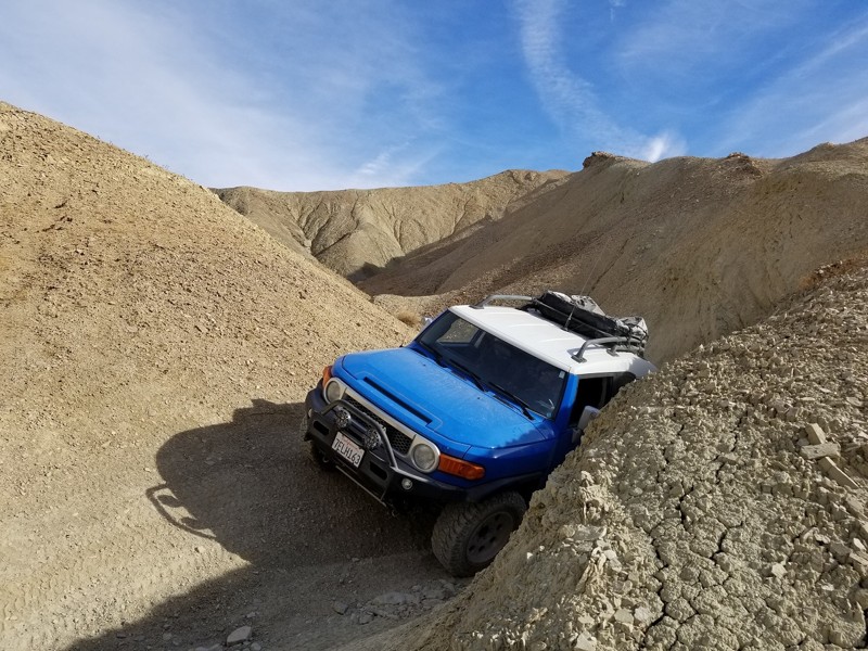
Mud Hills Northern Route - Calico CA
Barstow, California
The Mud Hills, a vast formation of hardened muds hills cut up by canyons, sits inside the famous offroad area known as Calico. It offers hours of off-road entertainment and camping in close proximity to Highway 15. This Northern Route is a popular cut-through and has everything an off-road enthusiast could want from high-speed berms and narrow canyons to steep hills and ledges. On top of that, when this area gets a little water, it turns into a giant slip and slide, making even the easiest routes almost impossible. The next time you are in your short wheelbase 4x4, take an off-road adventure through the Mud Hills of Calico California.

Updated: 05/29/2025
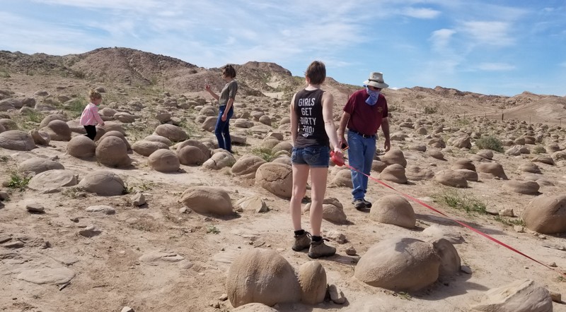
Tule Wash
Ocotillo Wells, California
Tule Wash is famous for its Pumpkin Patch. Located in Ocotillo Wells OHV, this trail runs east to west and is probably one of the highest-traveled routes in the area. The Pumpkin Patch is an area of rocks ranging from just a few inches to several feet around, and as the name says, they look like pumpkins. Created when the Colorado River ran through the area, these rocks are unique and fun to stop at and take photos with. But be warned, even though Tule Wash is an easy trail, the sand can get soft in places, so make sure you air down. Due to the remoteness of this trail, there isn't really any ideal camping. Not saying you couldn't, but it is just a wash. If you are looking for cool places to camp, camp near the north side of Cross Over Trail near the hills. There you find places in the coves for tent camping and open flat ground for RV's.
Updated: 10/15/2024
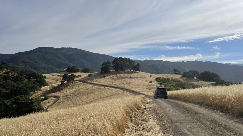
Hollister Hills SVRA: Hudner Pass
Ridgemark, California
Hollister Hills SVRA is a 6,800-acre SVRA park and was the first SVRA made by the California parks department. The park is divided into three parts, the Upper Ranch, Lower Ranch, and Hudner Ranch. The Lower Ranch is for dirtbikes. While the Upper Ranch and Hudner Ranch are for 4x4s, visitors should stop first at the ranger station in the Lower Ranch to pay the $5 entry fee and get a map of the trails.
Hudner Pass is an easy dirt road that takes you along the entirety of Hudner Ranch. The entrance to Hudner Ranch is blocked by a locked gate, and the code is given to you by the ranger after you pay the entry fee. Hudner Pass takes you by the trailheads of all of the other trails in Hudner Ranch, and while the Hudner Pass can be completed in 2WD, the other trails in the ranch require 4WD and high clearance. Camping is available at Hudner Pass Campground. However, a reservation is required.
Updated: 05/21/2024
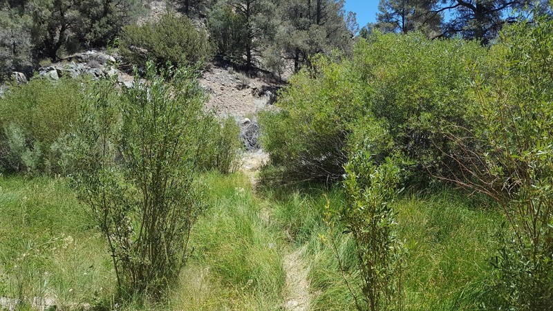
Yellow Jacket Trail (Lower) / 20W24 / 126
Frazier Park, California
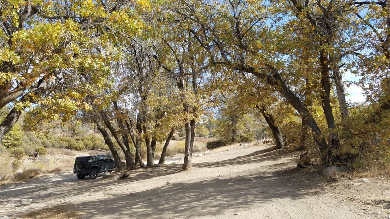
Yellow Jacket Trail used to be a trail of legends...one of the original extreme rock crawling off-road trails of the 90's. This trail has gone through some major changes over the years. Even though the trail is nowhere near as hard as it once was, it will still give you an exciting short adventure when traveling the Miller Jeep Trail / Lockwood Creek Trail. Luckily, sections of the trail are untouched from the recent fires, allowing drivers to still experience some of the beautiful scenery.
Updated: 02/18/2026
Ash Meadows
Lake Arrowhead, California
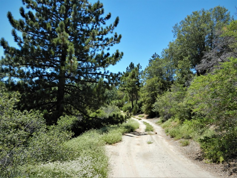
Ash Meadows Road is designated as an Off-Highway Vehicle (OHV) road connecting to
and Sewer Pond OHV Trail 3W13. There are few pine trees at this lower elevation, allowing panoramic views to the west. The road is wide and flat with a few bumps and rocks. There are several spots along the way to pull over and have lunch under a shade tree along the way.
Updated: 09/02/2026
Buck Rock
Hume Station, California
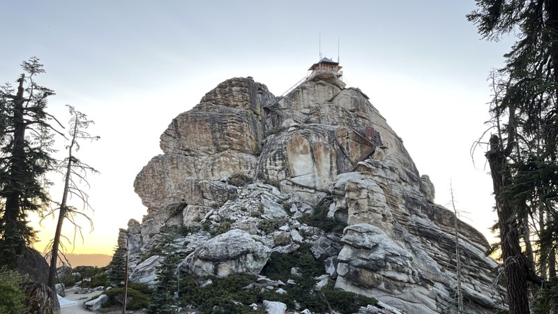
Buck Rock is located in the northern half of Giant Sequoia National Monument, between Kings Canyon National Park and Sequoia National Park. The trail gets its name from the main draw, Buck Rock Lookout, but it also provides access to the best camping in the area. The Buck Rock fire lookout was used as early as 1908, with its current 14 by 14-foot building being constructed in 1923. Both the immense rock and the view it provides are truly awe-inspiring. The trail can be run in either direction, but if visiting Buck Rock Lookout or finding an ideal campsite is your goal, it's easiest to drive this trail south to north. Buck Rock Campground is located just a half-mile from the south trail entrance and can be easily accessed by RVs and camper trailers. The northern half of the trail is a bit more rutted but offers other dispersed camping options. 2WD vehicles with adequate clearance should have no trouble on this trail during dry conditions.
Updated: 05/03/2024
4S01A - Hall Decker
Idyllwild-Pine Cove, California
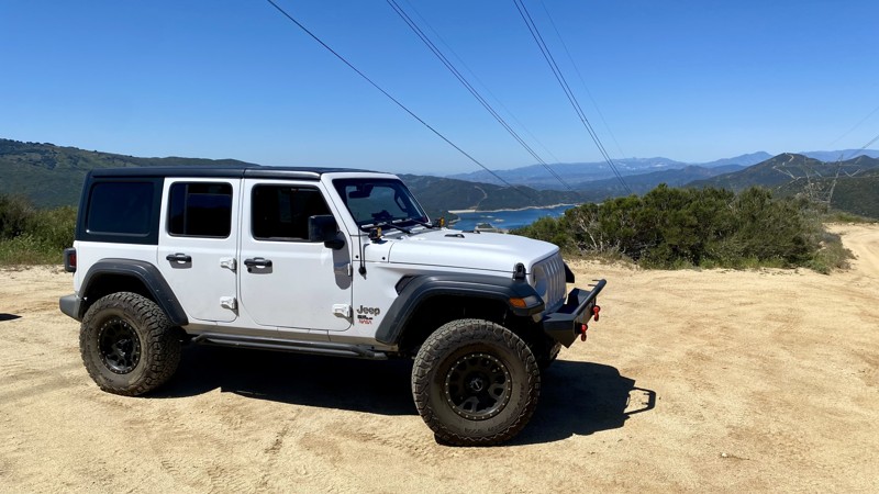
4S01A Hall Decker is just one of a dozen or more beautiful off-road trails in the San Jacinto Mountains near Idyllwild, California. This trail is a short spur off of 4S01 Black Mountain with a very private camping area at the end. This site would make a wonderful alternate trail if you find yourself blocked from further travel on Black Mountain due to winter approaching as this trail is 1500 feet lower in elevation. The forest is composed of Oak, Pine, Cedar, Elm and Sage. Many animals live here including deer, squirrels, coyote, bobcat, mountain lion and rattlesnakes.
Updated: 06/15/2026
Leona Divide
Leona Valley, California
Leona Divide is an easy point-to-point trail that is perfect for beginners. It’s located in the Sierra Pelona Mountains, just east of Green Valley. It consists of graded and rough dirt with occasional gravel. At the 10.5-mile mark, you’ll have to cross San Francisquito Canyon Road to finish the final 2.6 miles. 4WD is not necessary but will help with traction on the small hill climbs.
A main point of interest in this area is the Pacific Crest National Scenic Trail. It’s a 2,653-mile hiking trail that stretches from the United States-Mexico border to the United States-Canada border. The trail runs parallel to Leona Divide and has two access points nearby. The first is off Grass Mountain Road, and the second is 700 yards west of the trail endpoint.
There is no camping on this trail.
Updated: 05/28/2026
Orosco Ridge
Ramona, California
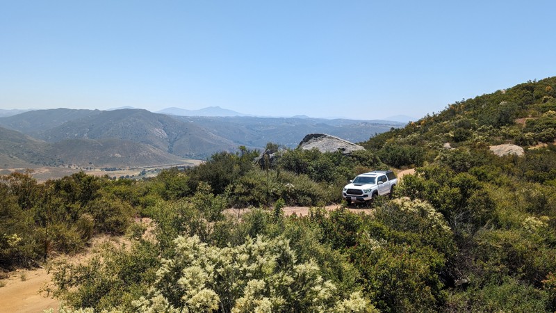
Orosco Ridge is a multi-use OHV area in San Diego County. It is an excellent spot for beginners to explore their 4x4's abilities. Please note that base maps will show this as a through road, but it is gated at the 6-mile mark and run as an out-and-back. While popular, there's not a whole lot to see at this location, but it is one of the spots that's closest to San Diego City, usually open, and can satisfy the need to get your tires on some dirt.
Although considered easy in dry conditions for any high-clearance vehicle, the road is steep, rutted, and bumpy, with narrow sections and limited passing opportunities. Stock Tacomas and 4-Runners should be able to handle the depth of the ruts, but crossover SUVs may scrape or get stuck. Disabling traction control, airing down, and having 4WD make for a smoother experience. Wet conditions will make the road considerably more difficult.
The area used to be popular for target shooting, and there is plenty of evidence of that. Some spots appear to be very primitive campsites or lookout points, but there are also signs indicating the surrounding area has high levels of lead.
Updated: 12/04/2025
Santa Fe Fire Road
Cajon Junction, California
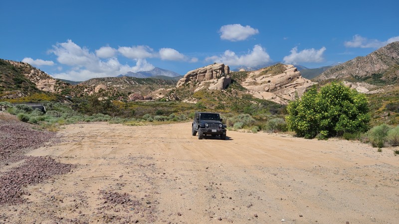
3N47, Santa Fe Fire Road, is in the 823,000-acre San Bernardino National Forest north of Lytle Creek. Following sections of the Santa Fe Railroad, the trail marches along the edge of the beautiful Mormon Rocks, also called the Rock Candy Mountains. These striking sandstone formations are the remnants of ancient oceans heaved up at an angle over the millennia revealing a beautiful and sometimes alien sandstone landscape. Santa Fe Fire Road is an excellent trail for beginning off-roaders with its smooth surface and several spurs to explore. There are no appropriate areas for dispersed camping along the course, and signs advise vehicles to stay on the road.
Updated: 07/12/2024
3N29 Sharpless Ranch
Wrightwood, California
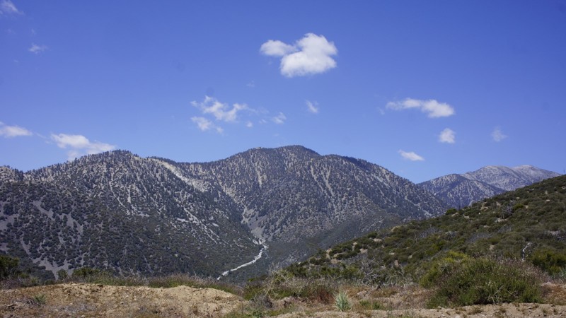
3N29 Sharpless Ranch trail is in the San Bernardino National Forest, between Wrightwood and the 15 Freeway. It is a quick way into the Lytle Creek area when 4-wheeling from Wrightwood. This trail is still recovering from the Blue Cut Fire and the 2009 Sheep Fire but consequently, it is ablaze with wildflowers in the spring. You will have some fantastic views into the canyons to the north and east, including the Cajon Pass and up into Hesperia. The Pacific Crest Trail crosses this trail near trails end offering the through hikers the opportunity to replenish their supplies from their support teams. At the trail's end, you are greeted with this view of Mount San Antonio, AKA Mt Baldy.
Updated: 03/09/2026
South Eureka Valley Road
Crater, California
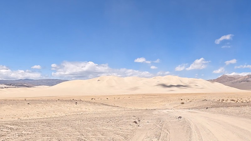
This scenic road takes you from Death Valley Road to the Eureka Sand Dune where you will find plenty of areas to camp. The Eureka sand dune is the largest sand dune in Death Valley. If you continue down the trail, it turns into Steel Pass.
Updated: 03/12/2026
Crab Flat Loop
Running Springs, California
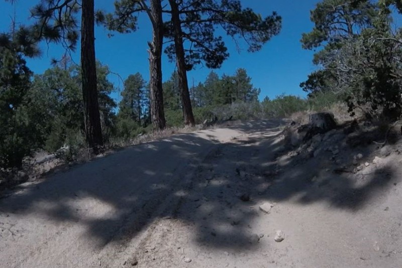
2N31Y is a short, non-technical, scenic loop. Typically roads like 3N16 Holcomb Valley and 3N34 East are used to get from Point A to Point B. Located off of 3N34 East, this little loop is a great detour if you are in the area.
Updated: 11/25/2023
Indian Gorge
Borrego Springs, California
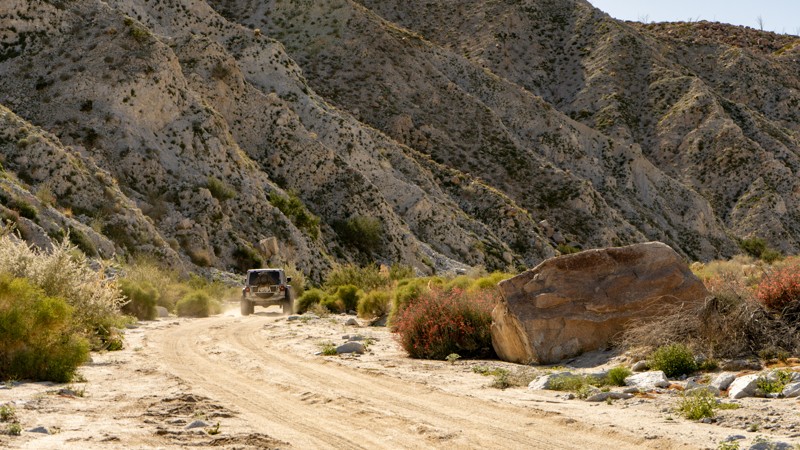
Starting from the Carrizo Valley on S2, the trail enters a tight and colorful gorge with the Tierra Blanca Mountains on the north and the Jacumba Mountains on the south. As you drive, towering canyon walls on either side give way to Indian Valley, a beautiful bowl dotted with backlight chollas that create an angelic glow. You will want to drive slowly, looking for the well-camouflaged big horn sheep who like to call the canyon walls home.
Updated: 10/15/2024
Grouse Springs - Bear Creek
Alder Springs, California
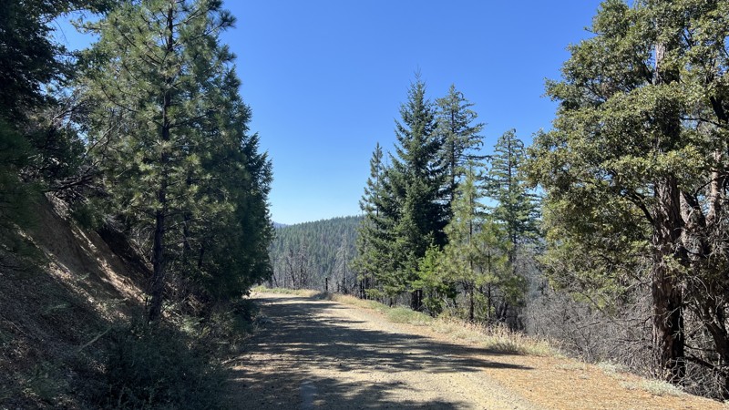
Forest Road M3 in Mendocino National Forest is a great trail for all levels of experience, especially beginners wanting to test out stock, four-wheel drive high clearance vehicles. Most of this trail is a smooth graded road with the occasional large pothole and steep climb on sharp corners, requiring good tire placement for stock rigs. This trail will take you through deeply wooded areas, burned clearings from wildfires that occurred between 2018-2020, and multiple other ecosystems. Due to the wildfires, downed trees and roadblocks are possible. M3 and the surrounding area allow ample dispersed camping near year-round creeks and multiple designated campsites with fire rings and vaulted toilets. Completing M3 requires one water crossing, depending on the time of year.
Updated: 03/18/2023
Split Finger - Cougar Buttes
Lucerne Valley, California
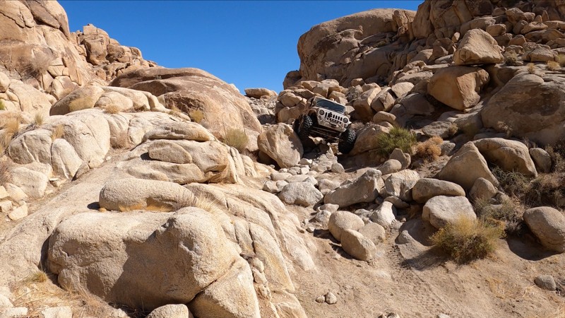
Cougar Buttes, in the Johnson Valley OHV Recreation Area, is home to a number of rock crawling trails. Split Finger is one of the few that stand out. This tight, steep, off-camber, rocky trail is short but will push you and your rig to your limits.
Split Finger is a serious 4x4 trail that is likely to bend, break, dent, and possibly roll your rig. From start to finish, the rock obstacles here are continuous and BIG. Boulder, after boulder, after hard rock notch, this trail will keep you in low range, with your head out the window watching your tire placement.
Updated: 07/29/2023
6S18 - Hog Lake Truck Trail
Anza, California
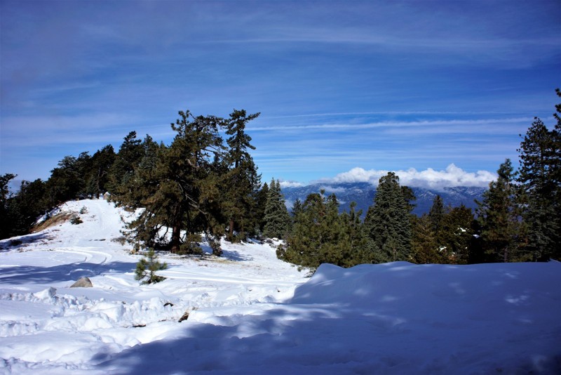
Thomas Mountain should be the destination when using Hog Lake Truck Trail. The mountain is in the beautiful San Bernardino National Forest covered with Oak, Pine, Fir and Cedar trees. With an elevation of 6820 feet you will experience all of the seasons while wheeling, camping, hiking or picnicking. It is located between Lake Hemet and Anza. With 4 trails totaling 30 miles to this peak there is always something to explore.
Updated: 03/25/2025
The Narrows
Ridgecrest, California
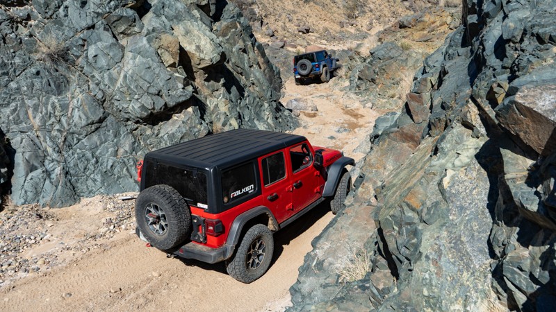
Winding through the El Paso Mountains near Ridgecrest, California, The Narrows offroad trail offers a thrilling desert adventure. Following the historic Goler Gulch, a once-famous mining route from the 1893 boom, this trail lives up to its name with a dramatically tight passage through rugged, volcanic-formed terrain, cementing its status as a "must-do" for offroad enthusiasts.
Combine the "The Narrows" with other trails to connect to the famous Burro Schmidt Tunnel, Bickel Camp, or through Hobbs Wash on EP 15 as you make your way to the iconic Trona Pinnacles. Die-hard rock crawlers with stamina can even make a route to include Last Chance Canyon! The possibilities with this one make it a great choice to plan a trip around.
Updated: 10/15/2024
Stoddard Valley Road
Bell Mountain, California
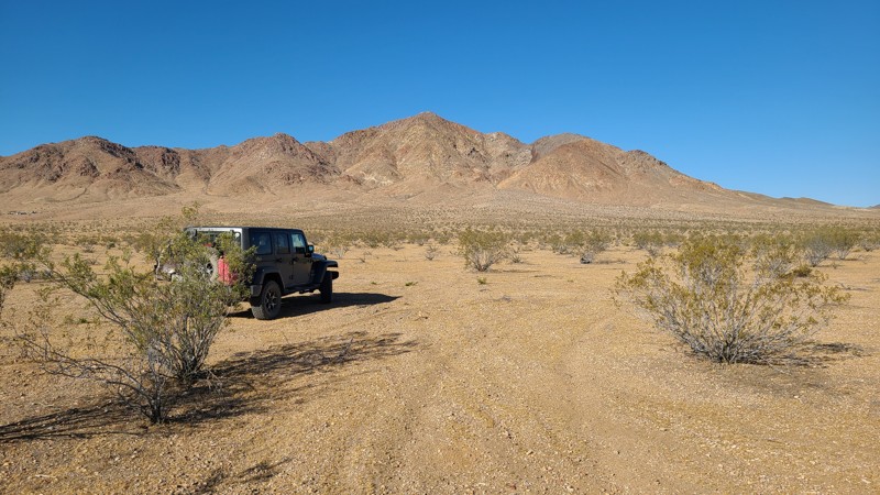
Also called Willow Springs Road, Stoddard Valley Road follows a valley through the Mojave Desert, passing west of Stoddard Mountain and along the eastern edge of the Stoddard OHV area. This journey provides beautiful views of the surrounding mountains across an arid landscape. The roughest spots are rocky segments passing over the foothills. Driving the length of this trail is an excellent adventure for a novice offroader.
Updated: 01/06/2026
Boulder Creek Road
Pine Hills, California
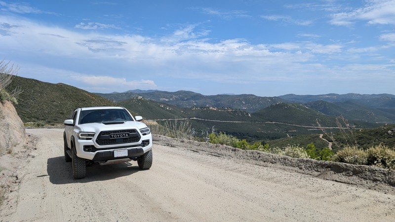
A graded dirt road connecting Descanso to Julian. It has a total elevation difference of more than 1300' with nice views of the San Diego mountains. Many people use this road to access the Three Sisters Falls and Eagle Peak trailheads. On the north end, it passes through the Inaja and Cosmit Indian Reservation, ultimately connecting to the outskirts of Julian and Eagle Peak Road.
Virtually any vehicle can traverse this road. It has a decent amount of washboard, so be prepared for a bit of vibration. The hardest parts are the climbs with turns and washboard. Nothing difficult, but your tires may slip momentarily.
There are no camping spots along this road.
Updated: 02/27/2024
Road To The Hammers - Johnson Valley
Yucca Valley, California
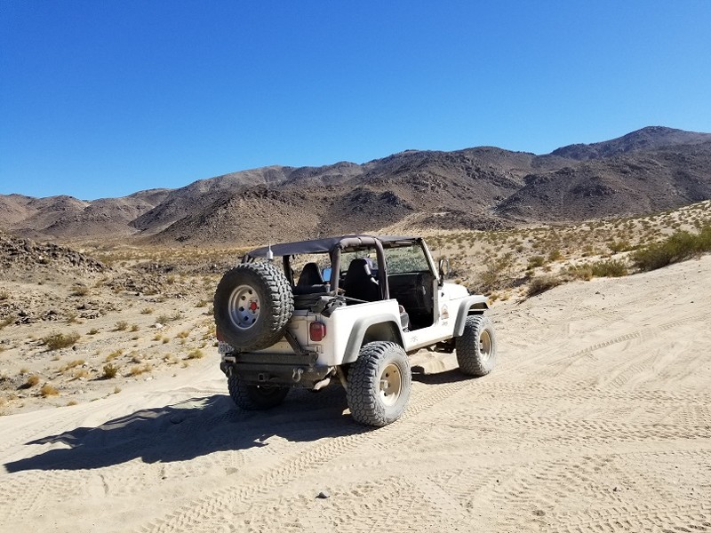
When you hear the words Johnson Valley, you can't stop thinking Hammers. The Road To The Hammers is the super highway that takes you to some of the most legendary trails in all of the United States let alone the world. The trail takes you from the party town on Means Dry Lake (aka Hammer Town) up into the hills and it dumps you right at the foot of some of the hardest trails in the area, Jack Hammer and Sledge Hammer. Thus, the next time you are in the area, take a quick drive up The Road To The Hammers and get yourself a glimpse of some of the most epic rock crawling / off-road trails in all of the United States.
Updated: 04/01/2024
Loop Wash
Ocotillo, California
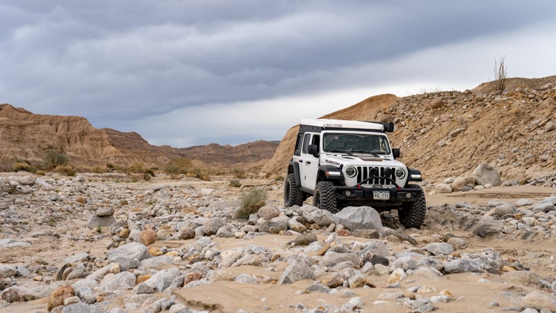
Loop Wash is an alternate side trip to the more famous Fish Creek. No pun intended, but it "loops" around a portion of Fish Creek, making it a perfect alternative when going in or out of Fish Creek. The entire area that makes up this system of trails was once a shallow sea five million years ago. If you take the time and look closely, you will find Coquina shell beds in the mud ledges that line the trail.
Updated: 02/27/2024
Wrecking Ball
Landers, California
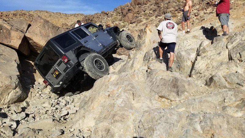
One of the legendary trails in Johnson Valley in Southern California, Wrecking Ball, often referred to as one of the Hammers Trails, is no joke. The trail is about as hard as Sledge Hammer at its hardest point but continues like that for almost all the way through the entire trail. Full of rocks the size of Volkswagons, this extreme rock crawling trail is one for only the extreme drivers and built vehicles. Expect to take a full day when on this extreme rock crawling offroad trail as it won't be fast-moving unless you take the bypasses. This trail does have one of the more feared obstacles at the end which is one of the 10 different waterfalls. Yes, 10 different waterfalls along this trail. So if you are looking for something difficult to an extreme, wanting something that might send you home crying and defeated, you should probably check out Wrecking Ball in Johnson Valley, California when you are in the area.
Updated: 10/15/2024
Borrego Springs
Borrego Springs, California
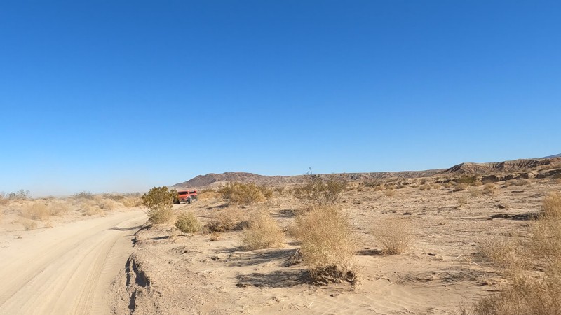
Borrego Springs Trail cuts through the Ocotillo Wells OHV desert and is one of the few exits on the west side of the park. As you reach the western end, you near all the bristlecone bushes that seem to overtake the trail, while on the east side, it is a baron wasteland. Borrego Springs Trail connects Anza Borrego, the Metal Sculptures, and northern side of the park.
If looking to camp, check out the east end of the trail near blow sand. There you will find a lot of camping areas, including areas for RVs and restrooms.

Upgrade your Membership
Unlock all of the details on every Trail Guide and Scout Route.
Start a 7-day Free TrialBrowse Trails in California by City
Browse every California city with offroad trail guides.
Community
Partners

