




By clicking "ACCEPT", you agree to be the terms and conditions of each policy linked to above. You also agree to the storing of cookies on your device to facilitate the operation and functionality of our site, enhance and customize your user experience, and to analyze how our site is used.
California Off-Road Trails
415
Total Trail Guides 392

4106
Detailed Waypoints 524
Try a Free 7-Day Trial and unlock it all
Start a Free Trial Most Recent Trail Reviews
Rated 5/5
Open
Visited: 09/19/2026
Great beginner trail here for those looking to try out some rockier sections. Starting to trend a little closer to a rating of 4, but still a 3 I’d say

R
Rob
Rated 5/5
Open
Visited: 09/19/2026
I entered this trail from Freeway Ridge 4WD trail (31E77) and ran Black Gulch Jeep Trail up to Rancheria Road, turned around, and ran Black Gulch Jeep Trail all the way down to Keyesville Road in Lake...



Daniel Macioce
Rated 4/5
Open
Visited: 09/19/2026
Took out the vstrom 800de today and this thing was tough for someone like me who is pretty new to offroading motorcycles. I ended up turning around about half way because I wasn't sure if I would be a...
SK
sean kotrola
No Rating
Open
Visited: 09/19/2026
The trial marked by the app here is very difficult with all the recent deep washouts. Proceed at your own risk if you are by yourself with unmodified rigs. However the bypass is maintained and should ...
TB
Timmy Boby
Rated 5/5
Open
Visited: 09/18/2026
Very friendly fire watch tower volunteers and fantastic 360 degree views up top
R
Rob
Rated 5/5
Open
Visited: 09/18/2026
Great views and an easy drive through. Be sure to take the road up to the fire watch tower
R
Rob
Rated 5/5
Open
Visited: 09/17/2026
ran the trail twice last weekend, this is such a better way to go than 3n16...


Josh Noesser
Official Crew
Rated 5/5
Open
Visited: 09/16/2026
It's been 6 years since I visited this trail. It has seen some wear, but the overall difficulty is about the same, probably a bit higher now, as Waypoint 11 has suffered from traffic. Waypoint 11 ha...

Robert
Official Crew
Rated 5/5
Open
Visited: 09/16/2026
Started off from polique canyon at way point 13 and headed east. Its a great trail for most of it with scenic views. A good amount mud puddles that were fun as hell to drive through. Some I decided to...


VM
Victor Manuel Garcia
Rated 5/5
Open
Visited: 09/16/2026
Used this trail to get to Holcomb valley. Super easy and a nice drive, I can see how in the winter it can be a bit more challenging with rain and snow.
VM
Victor Manuel Garcia
No Rating
Open
Visited: 09/16/2026
Mostly easy, but heading NE there's a rock step down just a few miles in that *requires* high clearance. Banged the rear end of my 4runner despite having a 3" lift and 33" tires. A stock SUV would alm...



Carlos H.
Rated 5/5
Open
Visited: 09/15/2026
It's been over 4 years since I was last on this trail, and I was very happy to see that the old car was still there. Some research suggests that it is a 1939 Plymouth Road King 5-window coupe.


Robert
Official Crew
Rated 5/5
Open
Visited: 09/14/2026
A fun little detour off Burns Canyon. I ran this alone and stopped a few times to spot; I also used my grill camera in several places. I brushed my sliders a couple times, but no real issues. Definite...
EB
Ed Boyd
Rated 5/5
Open
Visited: 09/13/2026
easy perfect beginner off roader trail with great views and water crossing during the winter.



Dex Offroad
Rated 5/5
Open
Visited: 09/12/2026
Fenders Ferry kept giving me reasons to slow down and enjoy the ride. I loved winding along mountain ridges, following creeks, and catching glimpses of Shasta Lake's fingers tucked between the hills. ...



Rose Meirs
Official Crew
Rated 5/5
Open
Visited: 09/11/2026
super easy trail over looking the valley and 15fwy. only bad thing is that its super windy.

Dex Offroad
No Rating
Partially Open
Visited: 09/09/2026
Although you can cross the creek from Fordyce if you want, Committee Road is still closed back to the I80, so this has no exit, and you'll be forced back onto Fordyce.

Ryan Boudreau
Official Crew
No Rating
Temporary Closure
Visited: 09/09/2026
Road is still closed. I thought i read somewhere an expected 2030 opening, but can't confirm that info.
Ryan Boudreau
Official Crew
Rated 5/5
Open
Visited: 09/09/2026
This is an awesome trail . This trail is moderate with a few obstacles to make it fun. It also has incredible scenic views with a little bit of shelf roads. You can watch the full video on my YouTube ...


Dex Offroad
Rated 5/5
Open
Visited: 09/07/2026
Pretty spot on with the rating, was a little tough today with the rain but made it through in my 2023 Gladiator Overland with 2.5” lift and 35s with autolynx sway disconnects.


CT
Christopher Tanton

Shaan Heugly
Rated 5/5
Open
Visited: 09/06/2026
Drove reverse from what’s listed to the jasper trail. This is a easy but enjoyable trail with plenty of places to camp at the end of the
Shaan Heugly
Rated 5/5
Open
Visited: 09/06/2026
Bit washed near the top but nothing difficult to navigate. I headed from jasper to the highway and near the highway it did narrow. I got through with my Tacoma but there are a few pinch points I could...
Shaan Heugly
Rated 5/5
Open
Visited: 09/06/2026
Mostly easy trail but when going south to north, I did need to use 4Lo on some of the inclines with a loaded Tacoma
Shaan Heugly
Rated 4/5
Open
Visited: 09/05/2026
It had been five years since I last drove this trail. The long, annoying stretches of moguls are still there, and water erosion has added a touch more difficulty in places. It was nice to see the old ...


Robert
Official Crew
Rated 4/5
Open
Visited: 09/05/2026
This is a nice trail with great views for any 4WD with ground clearance as some sections have ruts that are 12+ inches deep. Things were very dry on my visit, so airing down the tires helped to smooth...


SG
Steve Graham
Rated 3/5
Open
Visited: 09/05/2026
From waypoint 7 to 10 the water damage is pretty bad. Waypoint 13-16 it is rocky. Nothing crazy but a few spots where patience and the right line will go a long way. Good clearance and 4x4 recommended
N
Noah
Rated 5/5
Open
Visited: 09/05/2026
Easy trail with an awesome view at the end. There were three lookouts in the fire tower and each one was super friendly and informative. Must see trail!


N
Noah
Rated 5/5
Open
Visited: 09/05/2026
fun easy trail, Butler Peak lookout is the highlight imo
N
Noah
Rated 5/5
Open
Visited: 09/04/2026
Trail was very well maintained. Thanks for the Fresno 4x4 club. It was very cold at night, into the 30s. We were on the trail two nights, 3 days and two nights at voyager rock due to a breakdown fr...
JD
John Drago
No Rating
Open
Visited: 09/04/2026
Beautiful area, but the trail itself wasn’t very interesting. I’d rate it around a 3/10, with a couple of optional sections that might push a 4.
There’s tons of dispersed camping throughout the area,...


Ryan Smith
Rated 5/5
Open
Visited: 09/01/2026
awesome trail with a lot of water crossings. just be careful of sxs and bikes since its a OHV area.

Dex Offroad
Rated 5/5
Open
Visited: 09/01/2026
Super easy trail and you can over look the high desert. Trail ends at an awesome view point.

Dex Offroad
Dex Offroad
Rated 5/5
Open
Visited: 08/31/2026
This trail is much harder than it used to be. It’s just as breathtakingly beautiful as ever. You are on your own out there. Fuel, parts, spare tire. It’s days from help if you need it so go prepared. ...

CP
Christopher Pepin
No Rating
Open
Visited: 08/30/2026
Ran this trail today and had fun. Easy trail with great views. I wouldn’t hesitate to take an experienced driver in a stock jeep up this. There are lots of trails in this area and way to get off the m...

CP
Christopher Pepin
No Rating
Open
Visited: 08/29/2026
Trail was in good shape, a little less sand makes the boulders a little bigger. People have made the bypass around the sluice a little bit longer than it used to be you miss a lot of the good rocks. O...
C
Campbell
Rated 5/5
Open
Visited: 08/29/2026
An often overlooked and amazing trail. It’s about the length and difficulty of the rubicon if you don’t hit any of the bypasses on the rubicon. We had a group of 3 lj on 40s, a jku on 42s, and an Xj o...
CP
Christopher Pepin
Rated 4/5
Open
Visited: 08/27/2026
This is most definitely a hard trail. Is the entire thing hard? Not at all. The western 7 miles are a hard packed dirt road. Then you run into 3 straight, large boulder obstacles where its clear many ...


Ryan Boudreau
Official Crew
Rated 4/5
Open
Visited: 08/27/2026
Easy drive with beautiful views and . . . Buck Rock! Lots of camping south of Buck Rock, but camping north of the Rock isn't as plentiful. There are a few others on the north, but there's one here: 36...


Carlos H.
Rated 5/5
Open
Visited: 08/26/2026
I really enjoyed this road. It's super scenic with the sierra's in the background, the white beaches, and the columns are really cool. The road is not anything challenging with a high clearance vehicl...


Ryan Boudreau
Official Crew
Rated 4/5
Open
Visited: 08/25/2026
Fun area. The hot springs are pretty popular and well-known, and because they are small, you'd better hope you are one of the first people there that day if you want to get in. The route is easy, exce...


Ryan Boudreau
Official Crew
Rated 4/5
Open
Visited: 08/25/2026
I liked this trail a lot, but it's not quite a 5-star trail for me. I feel like it's a little overhyped. Is it scenic? Absolutely! Is there tons of great camping? Totally! Is it a crazy busy? You Bet!...


Ryan Boudreau
Official Crew
Rated 4/5
Open
Visited: 08/25/2026
Road to the hot springs parking area is easy. There are regular passenger cars there. The hike is easy too. The tub itself is super scenic, but know that they are not hidden gems by any means and we'l...

Ryan Boudreau
Official Crew
Rated 3/5
Open
Visited: 08/25/2026
It's a simple road, but definitely very scenic and really only used to get from Convict to Laurel Lakes or Mammoth. Road is suitable for anything with decent ground clearance.


Ryan Boudreau
Official Crew
Rated 2/5
Open
Visited: 08/25/2026
Simple dirt road used to access other types of recreation. Many signs remind you that you aren't allowed to camp along it except at the campground.


Ryan Boudreau
Official Crew
Rated 3/5
Open
Visited: 08/23/2026
Simple, straightforward dirt road used for fishing access.


Ryan Boudreau
Official Crew
Rated 5/5
Open
Visited: 08/23/2026
Amazing views at the top of this trail. Erosion looks to be making this trail harder than it probably originally was. Most of the hardest spots are getting bypasses created around them. A short, st...



Dan Jurgella
Rated 5/5
Open
Visited: 08/23/2026
Toad Lake Road 40N64 was a long, slow, and wonderfully remote drive into the Trinity Divide. The changing mix of old pavement, dirt, loose rock and deep ruts kept the journey interesting, while forest...


Rose Meirs
Official Crew
Rated 5/5
Open
Visited: 08/23/2026
North Fork 41N53 was a fun backcountry drive through the forest west of Mount Shasta. Early in the trip, a wrecked motorhome beside the road provides unforgettable confirmation that you are on the rig...


Rose Meirs
Official Crew
Most Popular
Updated: 05/16/2023
Phillips Canyon East
Barstow, California
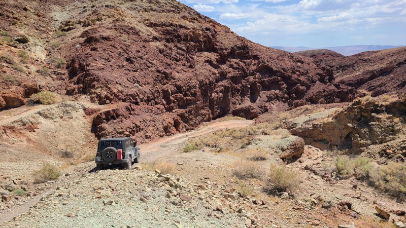
Leading into the heart of the Calico Mountains, Phillips Canyon East meanders next to open tunnels and deep pits, providing constant reminders of the silver mining era that once dominated this area. Beginning over flat soft sandy washes, this short trail soon transforms into a rough, rocky, narrow driving challenge. As the trail descends west from its peak, impressively tall and jagged rock walls hug the path leading to the very difficult Phillips Canyon West and Odessa Canyon trails.
Updated: 02/01/2023
Old Sluice
Pollock Pines, California
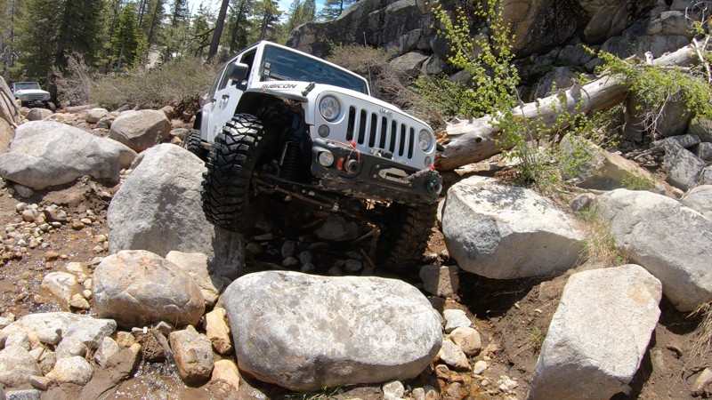
Old Sluice is a short, but near-extreme and almost forgotten section of the Rubicon Trail in the Eldorado National Forest outside of Pollock Pines, California. Where the more common Rubicon route travels across the lower granite slabs known as Indian Trail, this higher and more challenging route will seriously test your rig.
Old Sluice is arguably the most difficult section of the Rubicon Trail. This is the reason most bypass it.
With one obstacle after another, after another, after another, plus some serious views of Buck Island Lake and Miller Creek on the mountainside above Rubicon Springs, Old Sluice will keep an experienced wheeler entertained four a couple hours or more. If you're running the Rubicon for the first time and pushing just to get through it, Old Sluice is probably not for you... This trail is tough. If you feel you should bypass it, there is no shame in that, but if you're up for the challenge and your rig is built for it, you'll love wheeling Old Sluice.

Updated: 09/29/2025
Pillsbury-Indian Dick Road
Rice Fork Summer Homes, California
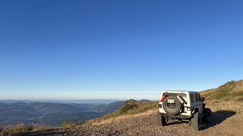
Pillsbury-Indian Dick Road has a lot to offer all levels of explorers, providing all forms of camping, including designated dispersed sites with cement pads and limitless trials in the area. Pillsbury-Indian Dick Road starts as a scenic drive around Mendocino National Forest's largest lake, Lake Pillsbury. The initial trip around the lake is a slow, mostly paved drive, allowing for beautiful views, including ample wildlife, mountains, and vegetation. Once past the lake, the trail turns to rough dirt, so high clearance will be needed. Thanks to the maintenance of the Forest Service, this trail has no technical sections, allowing for an easy, relaxing drive during the dry months. Due to past wildfires, downed trees are likely to block the road. Pillsbury-Indian Dick Road transitions from high-elevation shelf roads to rolling hills. You will cross the Mendocino Pass/Alder Springs Road at the Black Butte River Ranch approximately halfway through. Black Butte River Ranch has a small, seasonal store to restock basic supplies and offers designated campsites with basic facilities and clean water. This crossing provides an excellent opportunity to switch trails or return to pavement, allowing easy access to multiple highways. Choosing to continue Pillsbury-Indian Dick Road results in a there-and-back trail, with the northern half leading to The Yolla Bolly-Middle Eel Wilderness.
Camping is abundant along Pilsbury-Indian Dick Road. There are multiple designated campsites with facilities and ample dispersed camping locations with year-round water access. A few of the designated camping areas even include concrete pads. This trail allows for endless options for dispersed camping with and without fire rings already established.
Updated: 06/03/2025
Aqueduct Road East
Indio, California
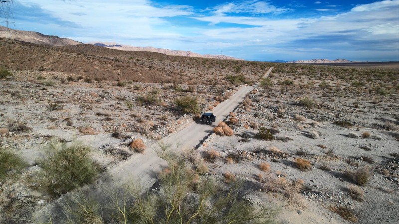
The desert on this trail offers a contrast of stark desolation and beauty. It is accented by the brilliant white summer afternoon clouds, making a casual drive over its length a memorable experience. To the west are stunning views of the Cottonwood Mountains, which are the alluvial material source, creating the gently sloping bajada you are on. There are many unnamed intersecting spurs to explore along the way and several hiking trails that lead into Joshua Tree National Park with trailheads just off the road. The open desert to the west served as a significant tank training area during World War II, and a short detour along the way will take you to the General Patton Memorial Museum.
The road's namesake, the Colorado River Aqueduct, whose water is the lifeblood of greater Los Angeles, courses through a series of tunnels bored under the rugged foothills a few feet north of the road. And if that were not enough, Aqueduct Road offers beautiful desert camping getaways near the start of the road and at the end next to the General Patton Memorial Museum, which is a great destination in itself.
Updated: 12/17/2025
Backdoor
Lucerne, California
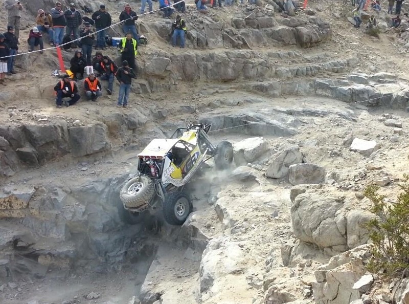
Backdoor is probably the single hardest rock crawling obstacle that is possible without a winch. Only minutes from the famous King of the Hammers basecamp, this short trail can provide hours of entertainment for bystanders or years of bragging rights for drivers. For the drivers that think about trying this trail, most will turn around before even starting the trail while some will try and quickly fail. The majority of those who try it will rollover, but there are always the lucky few who will make it. ***Important Notice*** This trail is only for those with a very good/strong roll cage and a well-built vehicle.
Updated: 10/09/2024
2N27Y - Rouse Meadow / Skyline OHV
Lake Arrowhead, California
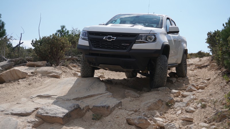
Hill climbs, curvy off-camber stretches, moderate rocky patches, and high mountain views make up 2N27Y - Rouse Meadow / Skyline OHV. This steep, narrow, twisty 4x4 trail is part of the network of off-road trails in the San Bernardino Mountains, just north of the mountain lake community of Lake Arrowhead in the San Bernardino National Forest. This makes for a great add-on to a Willow Creek Jeep Trail run and offers a little more challenge than most trails in the immediate area.
Updated: 03/01/2024
2N17 Camp Osito
Big Bear City, California
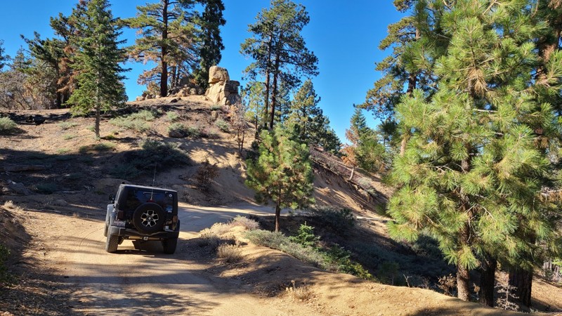
2N17 Camp Osito Road is in the 823,000-acre San Bernardino National Forest just south and above Big Bear Lake. The trail travels through the beautiful Big Bear Mountains forest. The gentle slopes surrounding the road provide many spots to camp or pull over and enjoy the peaceful solitude of this lush forest and glimpses of the blue Big Bear Lake between the trees. The entire road is enclosed by a conifer forest with tall Ponderosa Pine sheltering the way and accented by the unusual granite formations for which Big Bear is known. This well-marked road provides access to hiking and biking trailheads.
Updated: 06/20/2024
6S16 - Cottonwood Truck Trail
Anza, California
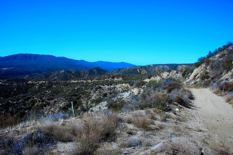
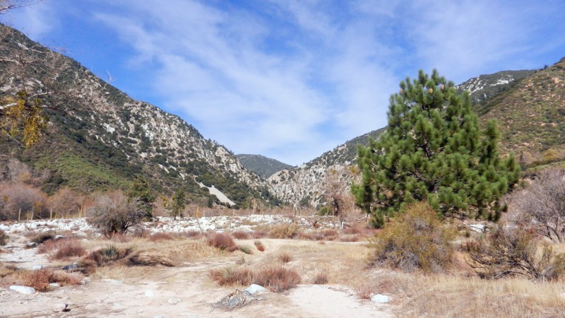
Situated in the San Bernardino National Forest, 6S16 Cottonwood Truck Trail is nothing short of a scenic opportunity. With views of Little Cahilla Mountain, Lake Riverside, Anza, and Thomas Mountain. Nearby is the Bautista Canyon Road which was used by the Spanish during a 1,200-mile expedition from 1775-1786. This is a great trail for a first time off-road enthusiast or someone looking to go explore for a day in the cooler temperatures you'll find further up the trail towards Thomas Mountain.
Updated: 12/01/2023
1N64A Slide Lake
Redlands, California
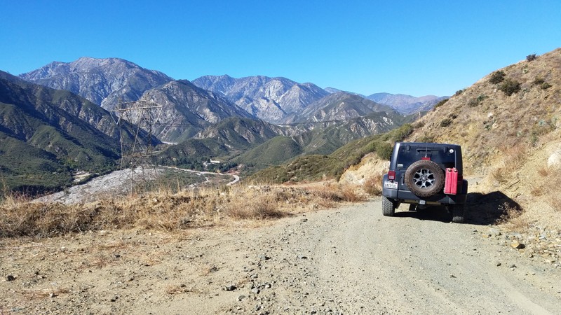
1N64A - Slide Lake is a wonderful off-road, 4x4 trail in the San Bernardino National Forest. Slide Lake is just one of the many beautiful trails in this Seven Oaks Canyon, including City Creek, Clarks Grade, and Radford. The Bear Creek Watershed at trails end flows into the Santa Ana River just 4 miles downstream on its journey to the Pacific Ocean. The beginning of Bear Creek is at the Big Bear Lake Dam spillway, 6 miles to the northeast. This trail is a gem for the dispersed campsite camper, along with it's connecting brother, 1N64 - Seven Pines. Be watchful of bear, mountain lion, deer and the smaller animals who make this area their home.
Updated: 07/12/2024
2N79 Penstock Ridge
Fontana, California
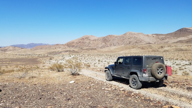
2N79 Penstock Ridge Road is within the San Bernardino National Forest and is a pleasant escape with views of the majestic San Gabrial Mountains to the west. There are beautiful vistas at many spots along the trail dominated in the west by the almost 9000' granite peaks of Cucamonga, Big Horn, Timber Mountain, and from below the jumbled boulders that make up Lytle Creek. To create the shelf-road, large sections of the hills have been sliced away, revealing evidence of the millennia of upheaval caused by the dense nest of earthquake faults undermining the area, including the Lytle Creek Fault directly below and the San Andreas Fault only a few miles north. There are massive power line towers following the Lytle Creek Valley and the road to drive in. Penstock Ridge hosts one of these structures, and it is a worthwhile trip to stand next to it and appreciate the engineering to raise such a large structure. Local artists have used the tower's foundation as a canvas, and the tower is an entertaining stop to appreciate their work.
Your dog can also enjoy the trail when kept on a leash.
Updated: 02/26/2025
Grubstake Canyon Road
Indio, California
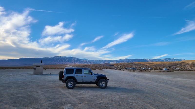
Grubstake Canyon Road is a rolling desert trail formed by the conjunction of the Mojave’s Pinto Basin and the foothills of the Eagle Mountains until the road makes a short climb in the foothills to its completion. This northerly trail road provides a great example of this desert transition region between the Pinto Basin north and the Eagle Mountains east. The road slowly rises at spots high enough to enjoy the far-off vistas of the Pinto Basin. The last portion of the road climbs quickly, allowing close inspection of 2 abandoned and unnamed mines.
Updated: 06/05/2022
Bessemer Mine Road to Soggy Dry Lake
Lucerne Valley, California
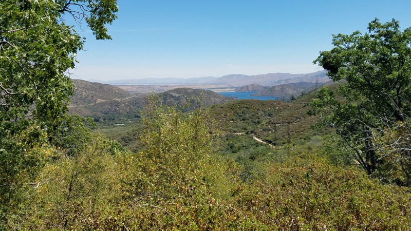
One of the two major roads in Johnson Valley, Bessimare Mine Road, is the main road that takes you to Soggy Dry Lake in Johnson Valley. This primary dirt road is the gateway to the less popular Soggy Dry Lake that was once used as a drag strip of the desert. People often still go out to Soggy to see what high speeds they can reach. Others head out this way to camp away from the city. Whatever you do out there, it will be a great time.
Updated: 07/18/2024
2N45 North Spur
Hesperia, California
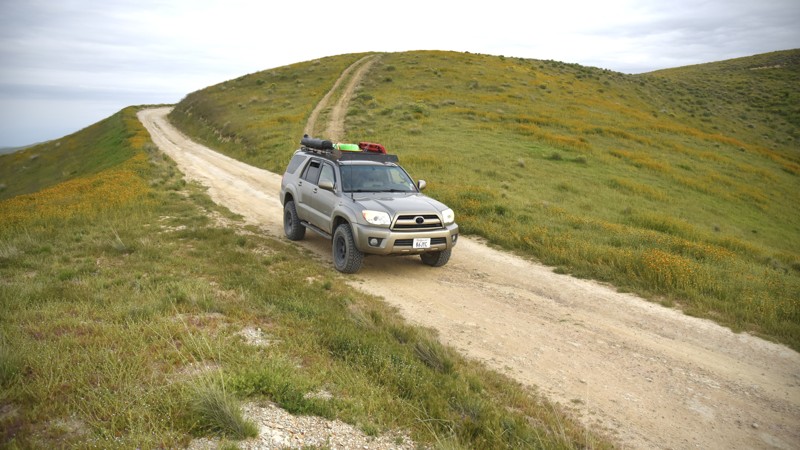
2N45 North Spur Road is in the 823,000 acres San Bernardino National Forest just south of Silverwood Lake and only a 16-mile drive from I-15. This mountain road takes you from the lower elevations dominated by oak woodland to the land of the confers and the stately tall pine tree forest, where the deep shade and higher altitude bring quick relief from the summer heat below. Eleven switchbacks carve their way up the side of Sugar Pine Mountain until you eventually reach Bailey Canyon Road and a large inviting meadow and are rewarded with spectacular views to the southwest of the San Gabriel Mountains.
Updated: 06/10/2026
Hurricane Road
Derby Acres, California
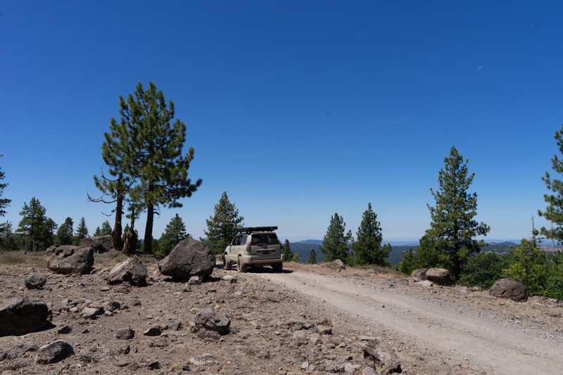
Hurricane Road is an easy dirt road that connects Elkhorn Road in the Carrizo Plain National Monument to Crocker Springs Road and Highway 33 by crossing over the Temblor Range. This road offers another option into and out of the Monument and is a good choice for those wishing to save time rather than make a full loop on Soda Lake Road or Elkhorn Road when sightseeing in the Monument.
The road is a graded, semi-maintained track of hard-pack desert dirt with occasional ruts and passable by 2WD sedans with adventurous drivers who take extra care when navigating over the rutted sections.
The GPS track ends where Hurricane Road transitions from dirt to the asphalt of Crocker Springs Road. Continuing along Crocker Springs Road will connect with Mocal Road and eventually to SR33.
There are no camping options along the road. However, it does cross Temblor Range Road, which lies within the approved Bureau of Land Management's Carrizo Plain Dispersed Car Camping Area. Consult the official BLM Carrizo Plain National Monument Recreation Map and Guide on where camping is permitted.
Updated: 08/11/2026
Dodge Ridge
Pinecrest, California
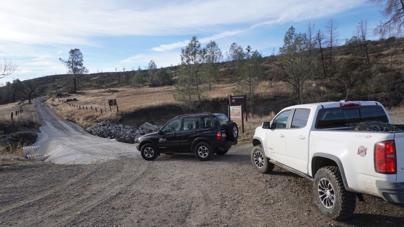
Just south of Pinecrest Lake and the Dodge Ridge Ski Area, you'll find a network of roads hosting a mix of off-road trails and old logging routes. This trail runs along the physical Dodge Ridge and offers excellent views of the surrounding mountains as you travel along the top of the ridge. There is one distinguishable dispersed campsite along this trail. Campsites can generally be hard to come by in this area. The hardest part is passing through a fallen tree towards the beginning of the trail. This could be problematic for wide vehicles. Downed trees are very common in the Sierras due to logging, beetle kill, and fires. Trees are often only cleared as wide as tire tracks, so carrying your own chain saw would not be a bad idea in this area. The Moderate rating is also due to more rocky areas of the trail as you are coming down off the ridge.
OPEN SEASONALLY: 4/15-12/15
Updated: 05/27/2025
Dunnigan Hill Road / Hunting Creek Road
Knoxville, California
Dunnigan Hill Road / Hunting Creek Road is the northern entrance into the Knoxville Recreation Area in Lake County and Napa County, CA. If traveling in from Lake Berryessa, 30-plus miles of the roughly paved, bumpy, narrow Berryessa Knoxville Road will make this soft dirt trailhead a welcome relief. This road offers access to other trails in the Knoxville recreation area, including Knoxville Devilhead Road. The entire Knoxville Recreation Area spans from Napa County into Lake County, and this trail travels across both Counties.
Updated: 08/11/2026
Gold Valley OHV Trail
Johnsville, California
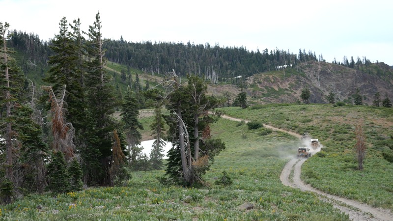
What might be the Holy Grail of the Gold Lakes area's scenic trails, 11E67, aka Gold Valley OHV Trail, is a wonderland for the eyes and soul. This trail takes you up on the ridges of some of the tallest mountains in the Tahoe National Forest area. From there, you can see hundreds of miles off in every direction. You can see Mt Shasta, Rainier, and many more snow-covered peaks in the distance. Not only are there never-ending views, but you also pass through Tahoe National Forest's dense pine forest, which makes you feel tiny in comparison. Once you drop down the southern half, you zig-zag the Pacific Crest Trail, pass by Hawley Lake, a troubled youths camp, and even over a massive abandoned gold mine with relics still sitting there as though the mine was active yesterday. Near the overlook, you pass through what feels like a haunted forest with odd-looking trees created from the overabundance of snow in the winter.
This connector trail is a moderate-difficulty offroad trail. It is full of moderate rock crawling obstacles up to a couple of feet tall, making it ideal for keeping the crowds away and creating that secluded experience you dream of. Because of the many rock obstacles on the route, a stock high clearance 4x4 will be needed to complete this trail. Rocker guards are not a bad idea to avoid any possible body damage.
You are allowed to disperse camp in the area. Although most people camp at Snake Lake due to the ample tent camping and wind break from the hills, one fantastic spot on this trail is up on the overlook. The only drawback is that the area might be too windy. Due to that, a rooftop tent would be the ideal camping for this location. Because of the size of the turnout, a group of a dozen vehicles or so could use this area.
Updated: 10/15/2024
Abandoned Naval Base - Salton Sea
Kane Spring, California
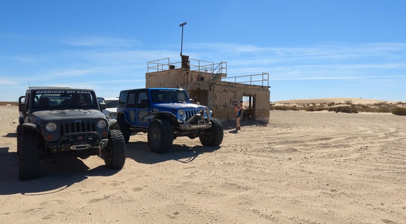
Lost in time, Naval Air Facility Salton Sea sits on the shores of the Salton Sea. The abandoned naval station looks like everyone just walked away, leaving everything as it was. There are old buildings and concrete foundations scattered about. There's even an old pier that no longer reaches the water since the Salton Sea is slowly going dry. It's an eerie sight. Commissioned in 1942 as a seaplane base, the air station was used to test air delivery methods for nuclear weapons by dropping dummy bombs. The tests began during World War II and continued until 1961.
The trail into the abandoned base is very sandy. Camping is allowed along the beach.
Updated: 01/05/2023
Wheeler Road
Brawley, California
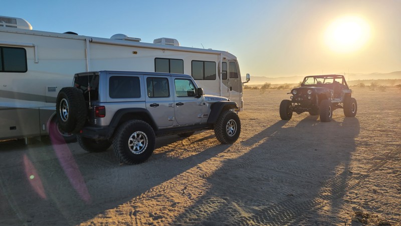
If you are looking for some BLM land to camp on in Southern California near the Salton Sea, then there is only one place to go, that is off of Wheeler Road in the Superstitions OHV area. This massive dirt highway is welcoming to all types of vehicles from RV's to 5th wheels, to rooftop tents. What makes this place great is the ground is flat and smooth meaning if you like camping in a tent, the conditions are perfect for that as well.
Just down the road are the famous Superstition Mountains of many folklores and interesting bits of history. So if you are in the area, out Overlanding in Anza-Borrego, and are looking for somewhere different, check out Wheeler Road in the Superstitions.
Updated: 08/12/2025
Owens River Road
Benton Crossing, California
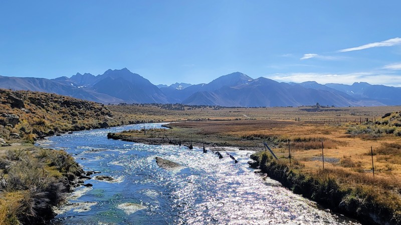
Owens River Road is a well-maintained dirt road that travels through the Inyo National Forest., and does not require high clearance or 4x4. Any car should be able to handle this trail.
The trail's eastern section is very arid and desolate, symbolic of the landscape of the Eastern Sierras. You're surrounded by the White Mountains to the east and the Sierra Nevada Mountains to the west. You can see the unique formation of the Minaret Peaks to the west and the Mammoth Mountain Ski Resort. Along the trail, the terrain is mostly dry brush and shrubs, and there is volcanic igneous rock along sections to the east of the trail.
This road is part of an intricate trail system that offers many offshoots from the main road that goes into Little Antelope Valley and deeper into the Inyo National Forest. It is BLM land, so dispersed camping is available, but nothing directly on the main trail. The only designated campground is Big Springs at the trail's west end, but it is closed seasonally. Be sure to check if it's open before you go.
Updated: 01/02/2024
Mud Hills Center Route
Barstow, California
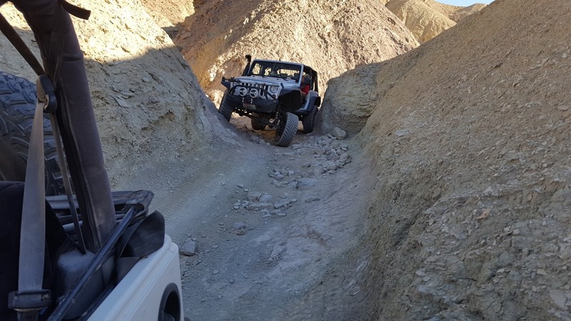
Calico's Mud Hills offer hours of entertainment in close proximity to camping and the roads. This popular cut-through has everything an off-road enthusiast could want from high speed berms and narrow canyons to steep hills and ledges. On top of that, when this area gets a little water, it turns into a giant slip and slide, making even the easiest routes almost impossible.
Updated: 08/03/2026
Casa Diablo Road
Sunny Slopes, California
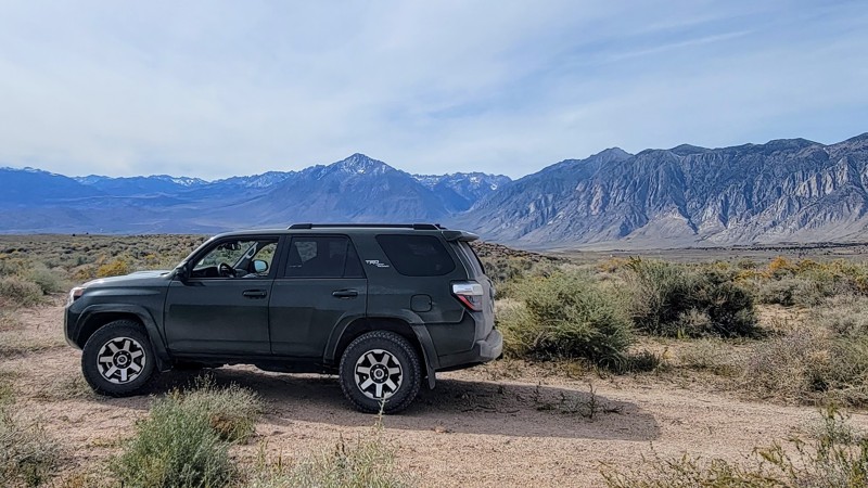
Casa Diable Road through Owens Valley has an extraordinary 360-degree view of the surrounding mountain ranges. The White Mountains to the east and the mighty Sierra Nevada Range to the west are encapsulating. Casa Diablo Mountain is smaller in scale, but its unique formation is worth the trip. It’s made up of small reddish volcanic rocks piled high.
The southern end of the trail is just outside Bishop, CA, along with the Volcanic Tablelands Wilderness, which has spectacular volcanic igneous rock that forms large flat-top mesas across the landscape. You can also see parts of Birchim Canyon to the west, which is carved by the Owens River. Much of the road is lined with dry brush and scrubs, which is typical in the arid climate of the Eastern Sierra region.
Most of the road is gravel, but there are a couple of sandy parts, and 4WD is recommended depending on the road conditions. There is washboarding near the southern section, but it’s not too bad.
Casa Diablo Road travels through BLM land, so dispersed camping is available, but most of the camping is concentrated along the southern tip, where you can find some great campsites.
Other great trails in the area include Fish Slough to the south and Chidago Canyon to the north.
Updated: 10/15/2024
Red Cloud Mine Road
Hayfield, California
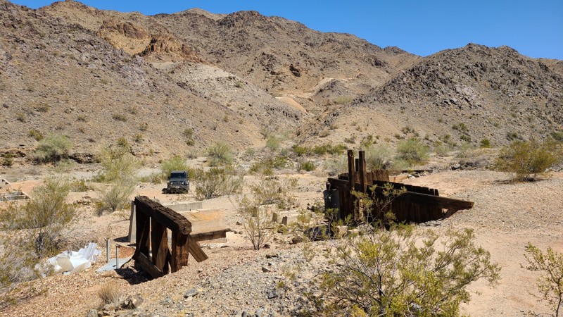
Red Cloud Mine Road is an up and back cutting through a sea of sand following the western border of the Chuckwalla Mountains Wilderness into a fascinating rock fortress of steep-walled canyons, washes, geologic textures, and delightful colors, creating a constantly changing panorama. If it's solitude you crave, the chances are great you'll be alone here. This rugged mountain road once provided access to over 30 mines and prospects. Now, all abandoned, several mine remnants can still be seen from the trail. The BLM rates the road as "More Difficult" for good reasons. Once in the mountains, the roadbed consists of broken rock, narrow paths requiring driving over and around large rocks, and steep, challenging descents approaching 25 degrees. This road should be driven by two or more vehicles, with experienced off-road drivers utilizing 4x4 lifted vehicles.
Updated: 10/15/2024
Mendocino Pass/Alder Springs Road
McClure Place, California
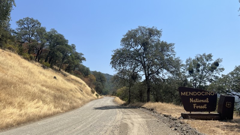
Alder Springs Road, also known as FH7, is a main forest road found in Mendocino National Forest. FH7 runs from the small town of Covelo, CA, to Elk Creek, CA. Starting in Covelo, you will pass through rolling hills with Heritage Oak Trees. As the elevation climes, you find yourself in dense Conifer groves with birds-eye views of the surrounding mountains. While never officially closed, FH7 becomes impassable due to higher elevations and snowfall; However, it remains a great place to test your snow wheeling abilities or enjoy a quiet winter camping trip. During the warmer months, this trail is easily passable with all stock, high clearance vehicles, or vans. This road is well traveled in both directions, making the hardest part of being aware of oncoming vehicles. Spanning 35 miles, with limitless side trails to explore, this area has something for everyone. As you explore, there will be endless dispersed camping and a few designated camping locations with primitive amenities.

Upgrade your Membership
Unlock all of the details on every Trail Guide and Scout Route.
Start a 7-day Free TrialBrowse Trails in California by City
Browse every California city with offroad trail guides.
Community
Partners

