By clicking "ACCEPT", you agree to be the terms and conditions of each policy linked to above. You also agree to the storing of cookies on your device to facilitate the operation and functionality of our site, enhance and customize your user experience, and to analyze how our site is used.
Offroad Trails in Anza-Borrego Desert State Park
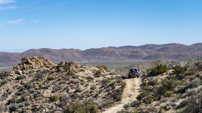
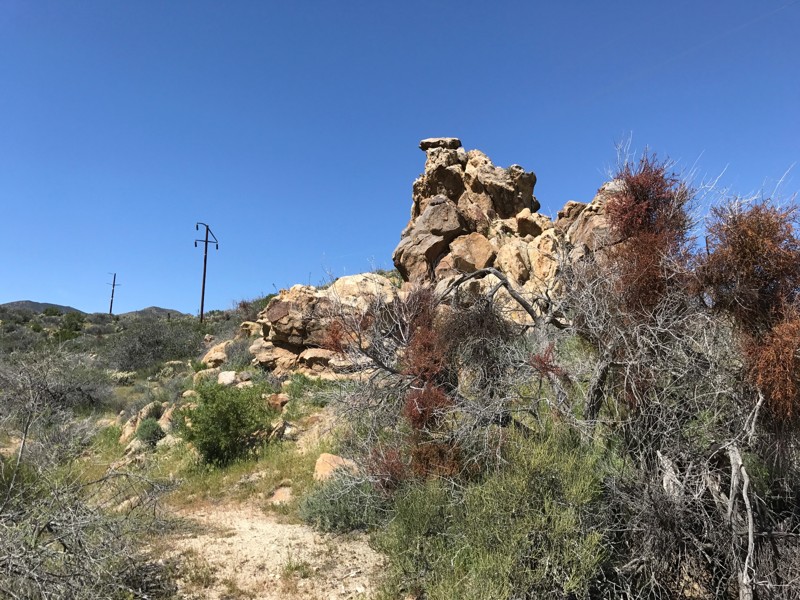
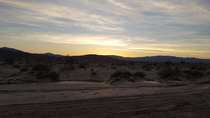
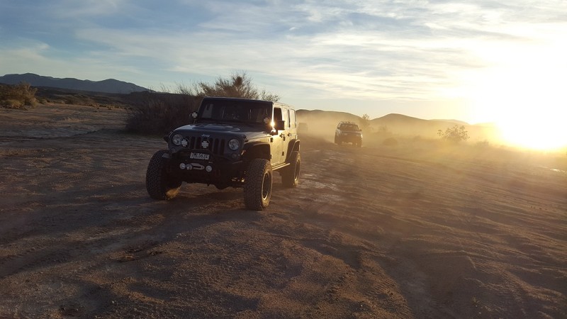
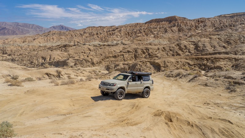
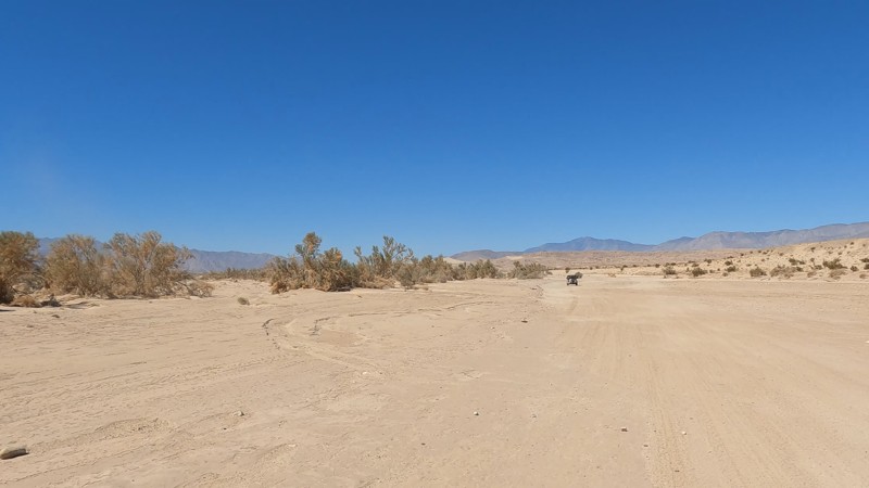
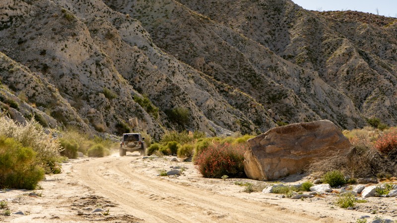
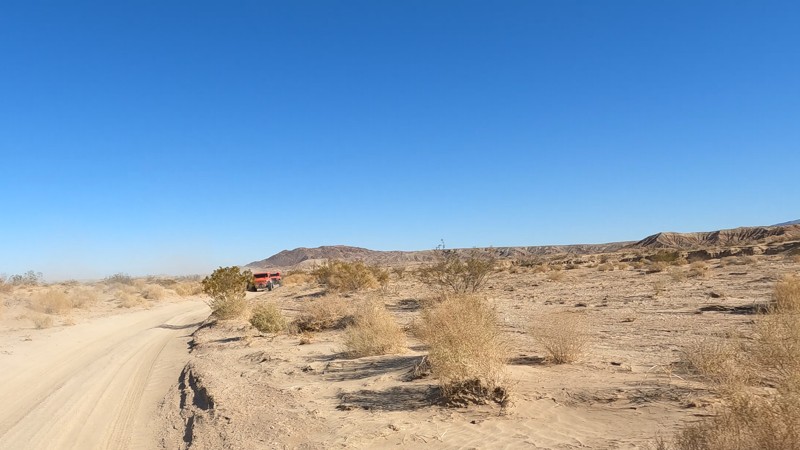
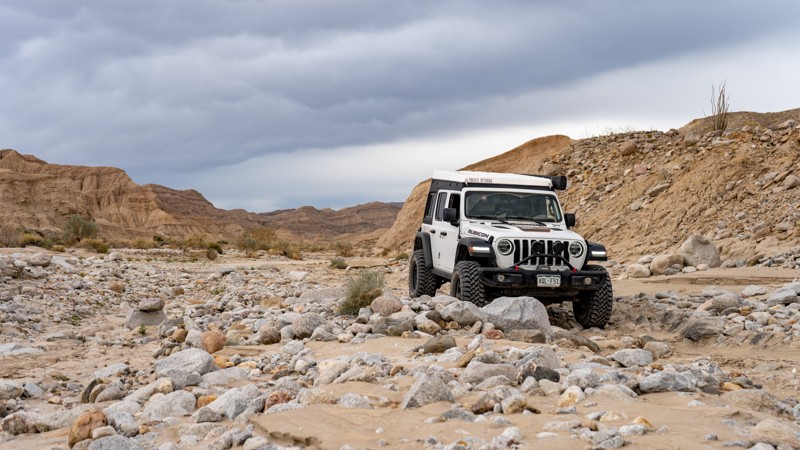
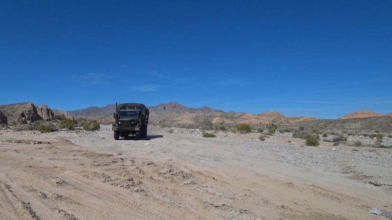
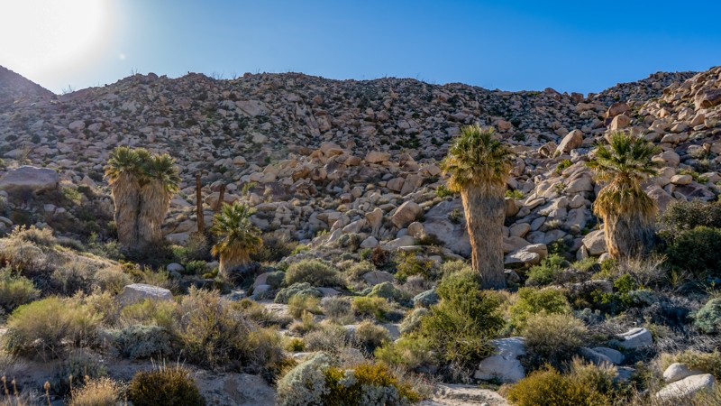
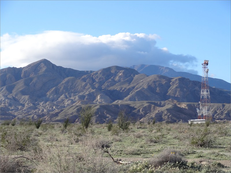
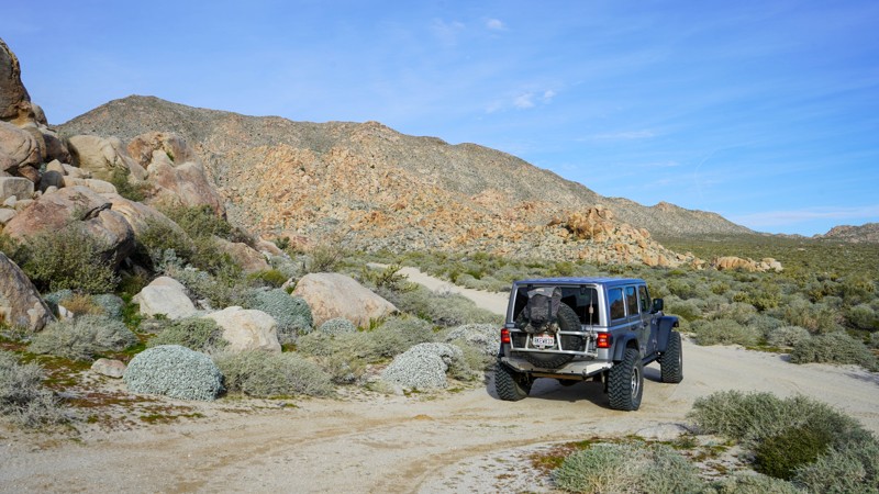
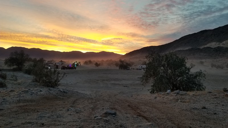
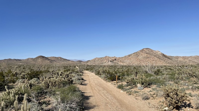
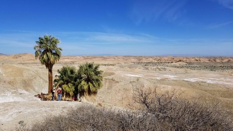
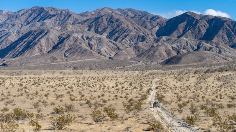
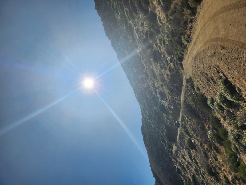
When you hear the word "desert," what comes to mind? An open expanse? Sparse vegetation? Sun, sun, and more sun? Anza Borrego Desert State Park includes all of that but you might be surprised by what else it has to offer.
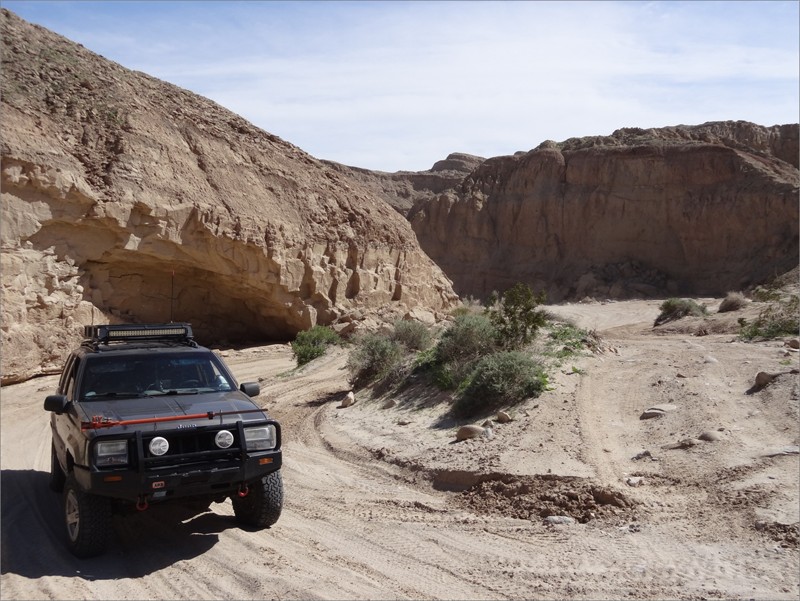
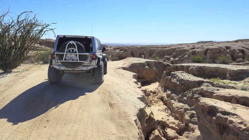
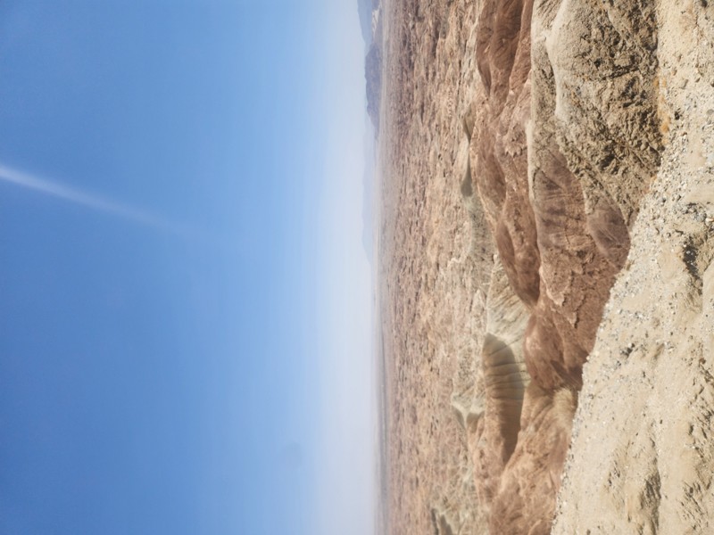
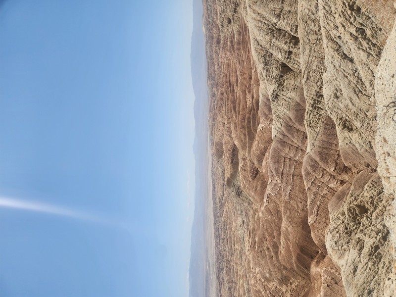
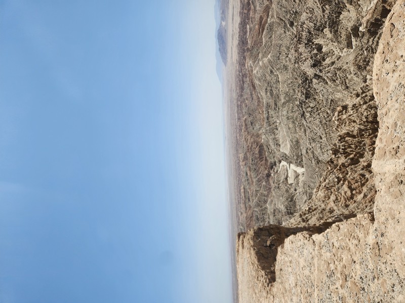
With a unique and varied landscape, Anza Borrego is a destination you could visit a dozen times without seeing the same place twice. From the higher elevation of Blair Valley to the otherworldly expanse of the Badlands to the Arroyo Tapiado Mud Caves, there is so much to explore.
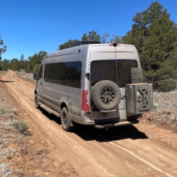
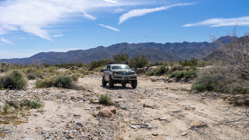
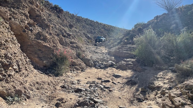
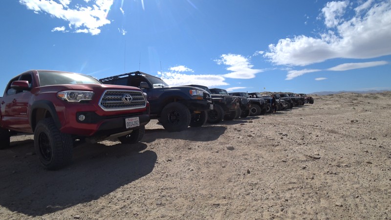
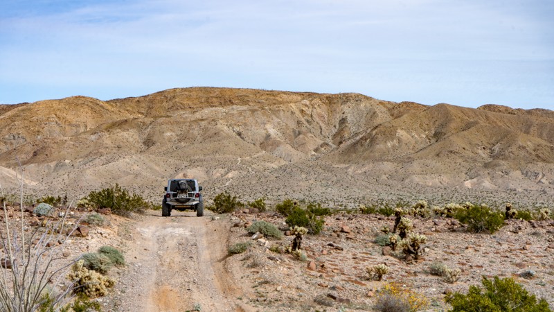
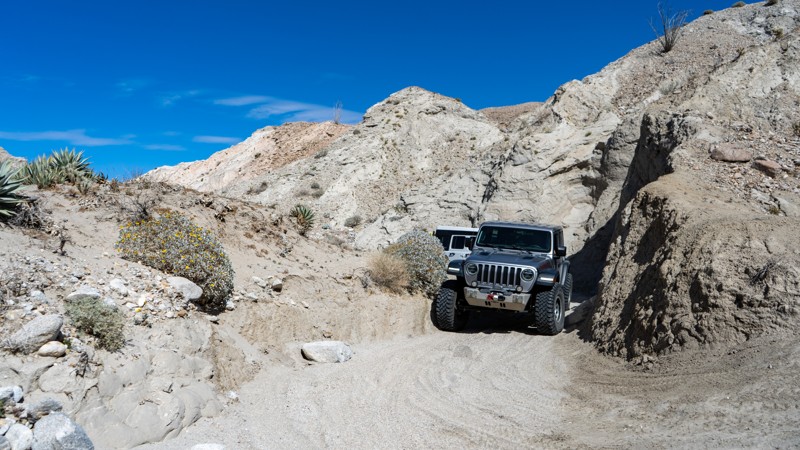
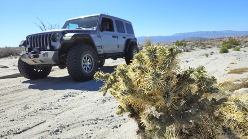
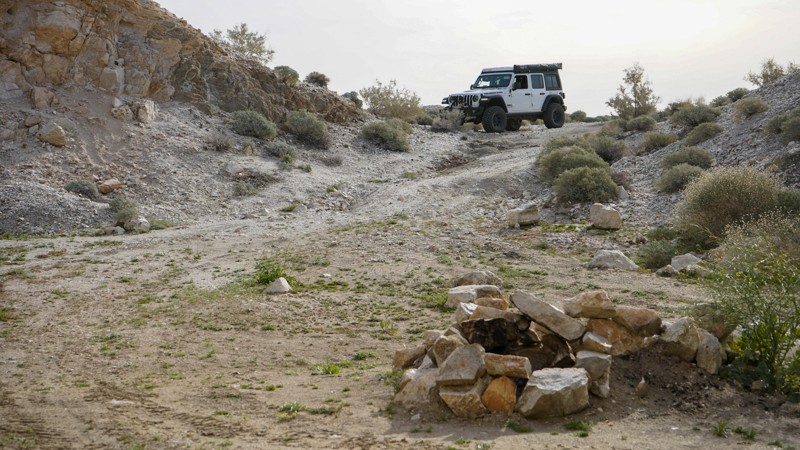
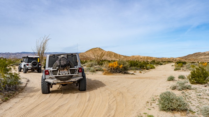
A majority of the park's trail system can be accessed by stock 4WD vehicles, and many areas are even 2WD friendly. But Anza Borrego is also home to Pinion Mountain Road, a Jeep Badge of Honor Trail that should only be attempted by experienced drivers in capable vehicles.
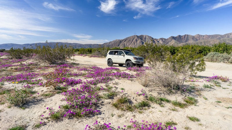
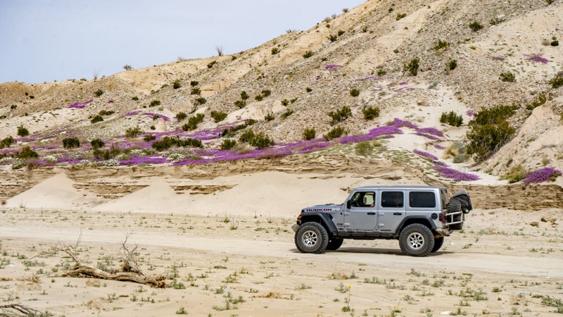
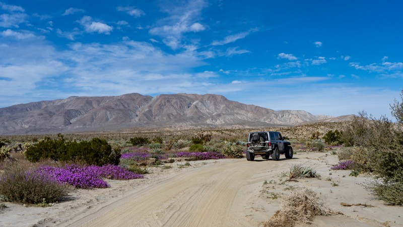
During the summer months, Anza Borrego is relatively quiet due to the extreme temperatures. But even during peak desert season from late fall through spring, the park is a great place to escape from the crowds. That is, as long as the super bloom isn't in full swing. Typically, once per year for a couple weeks, parts of the Anza Borrego Desert burst into color when the local wildflowers bloom. People flock from all over Southern California and beyond to see this natural beauty.
Before embarking on your trip to Anza Borrego Desert State Park, there are a few things to keep in mind. The summer months in the desert will bring daytime temperatures consistently over 100 degrees. Plan accordingly and bring plenty of water. During the rainy season, the low-lying areas of the park are prone to flash floods. If rain is in the forecast for your trip, it would be wise to reschedule. Finally, if crowds aren't your thing, keep your eye out during spring and avoid visiting during the super bloom.
Top Reasons to Explore Here
Most Recent Trail Reviews
Most Popular
Fish Creek Trail - Anza Borrego
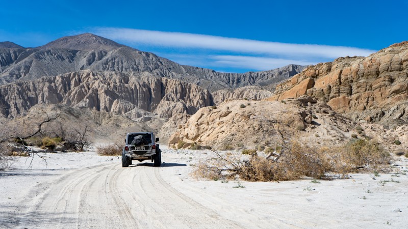
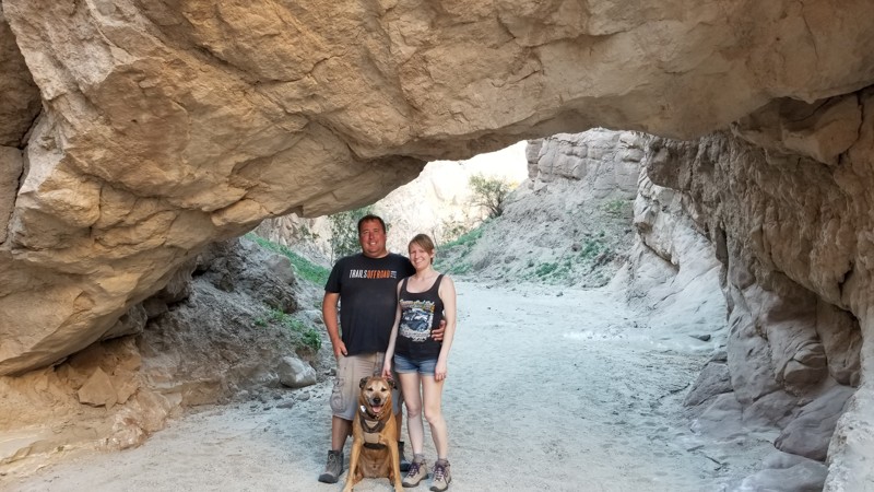
There is no other place like Anza-Borrego Desert State Park. Many overlanders and outdoor enthusiasts seek it out for its endless exploration opportunities. Fish Creek Wash is the starting point for many since it connects to many of Anza-Borrego's most famous offroad trails. Wind, rain, powerful earthquakes, landslides, and father time have shaped Fish Creek Wash into a living, geological museum. With its wind caves, dinosaur tracks, fault lines, towering mud hills, sandstone canyons, and wildflowers, Fish Creek is a perfect place to begin your exploration of the astonishing Anza-Borrego.
Pinyon Mountain Road
When you hear or read about obstacles named "Heart Attack Hill" and "The Squeeze," you must make excellent adventure decisions before you decide to take them on. Pinyon Mountain is a Jeep Badge of Honor trail in the renowned Anza-Borrego Desert State Park and arguably its most challenging. The Squeeze tests every bit of your precision as you listen to fenders scrape on its narrow passage, while Heart Attack Hill will surely give you that proverbial "heart attack" when you first see it. This isn't a solo-type excursion trail. You will need every bit of your wheeling mates' eyes and collective experience as you conquer what people call "The Secret of the Desert."
Oriflamme Canyon
Oriflamme Canyon is an ancient route connecting Anza-Borrego Desert State Park and Banner, California. Long before overlanding and four-wheeling, the Kumeyaay, Spanish, and early settlers used the route for trade, travel, and seasonal dwelling. Oriflamme was the name given to the first mine that worked in the area, and the canyon and mountain soon took on the name as well. It is believed that the name came from the steamship "Oriflamme," which brought miners to San Diego in 1870 during the Julian gold rush. The road became more pronounced during the various mining booms, and today is included in many overland trips through Anza-Borrego. It offers mountain scenery with tall oak trees, adventurous shelf roads, and a chance to see crystal clear fresh running water at the right time of the year.
Sandstone Canyon
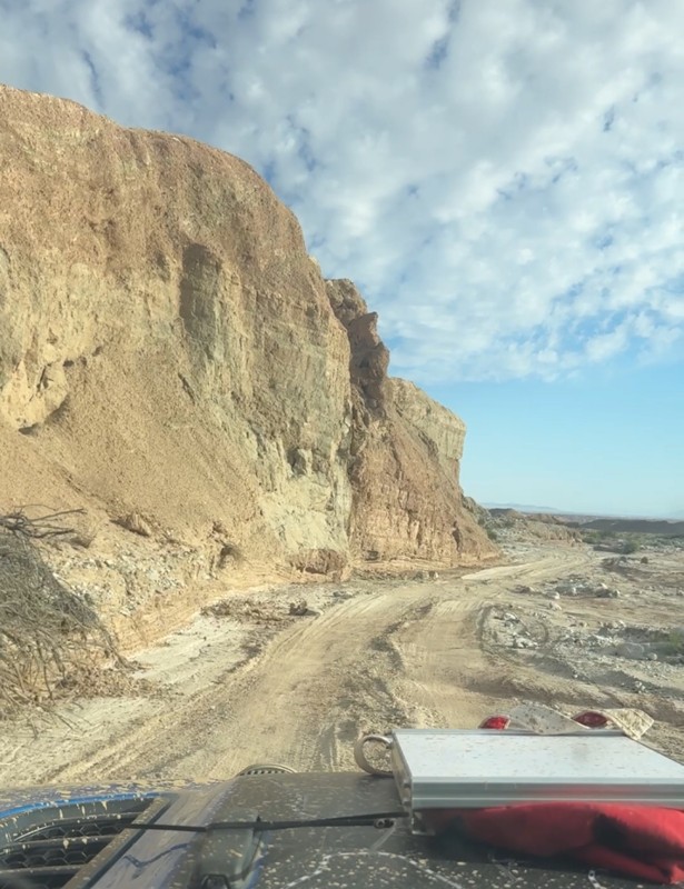
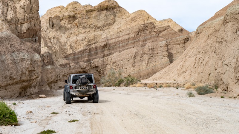
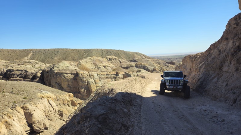
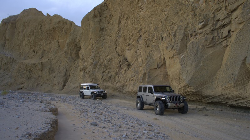
Widely regarded as the ultimate off-road adventure in California’s Anza-Borrego Desert State Park, Sandstone Canyon is more than just a trail; it’s a journey through time, carved by the forces of nature over millions of years. This breathtaking canyon trail takes you deep into a natural wonderland, where colossal sandstone walls rise high above, their jagged edges and smooth curves telling the story of a prehistoric past.
Winding through the canyon, you’ll navigate tight passages barely wider than your vehicle, feeling the raw power of the Earth’s geological artistry all around you. Every twist and turn unveils a new spectacle—sheer cliffs, towering formations, and sunlit rock faces that glow in shades of gold and red. It’s a place where time slows down, and the thrill of exploration meets the humbling beauty of nature.
Just as the Colorado River carved the Grand Canyon, the remnants of that ancient process have been sculpted here, creating an off-roading paradise unlike any other. This is not just a drive, it’s an experience, a privilege, and an unforgettable adventure. Many off-roaders hail Sandstone Canyon as the crown jewel of Anza-Borrego, and the moment you enter its towering corridors, you’ll understand exactly why.
Diablo Drop-Off
Diablo Drop-Off isn't as scary as it sounds, but it is a great story when you get home and tell your family that you drove down a hill named after the Devil himself. From a pragmatic point of view, it will most likely be on your itinerary when you overland between sections of the renowned Anza-Borrego Desert State Park. Diablo Drop-Off connects trails in the southern area, such as Canyon Sin Nombre and Vallecito Creek, with the more famous northern trails, such as Fish Creek Wash and Sandstone Canyon. Whatever the motivation is to conquer the hill or make as many offroad miles as possible in the Park, Diablo Drop-Off is waiting for you to explore.
Arroyo Seco Del Diablo
Arroyo Seco Del Diablo cuts right through the Carrizo Badlands. The walls of mud and rock change with every whisp of wind, raindrop, and earth shift, causing the canyon to change constantly. The trail is a unique and new experience every time you drive it. Combine this with Arroyo Tapiado or Diablo Drop Off for an entire weekend of overlanding in Anza-Borrego Desert State Park.
Font's Point
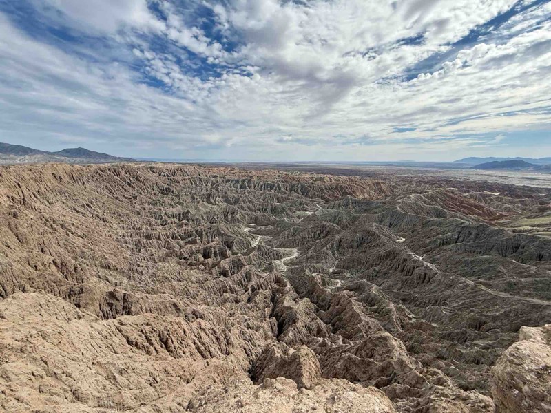
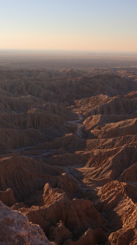
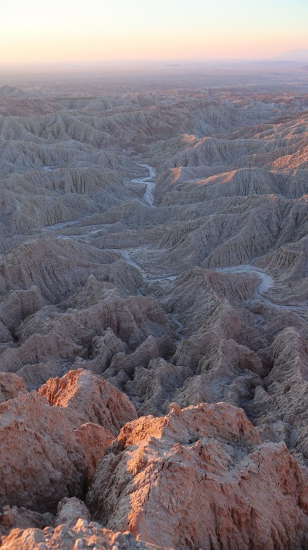
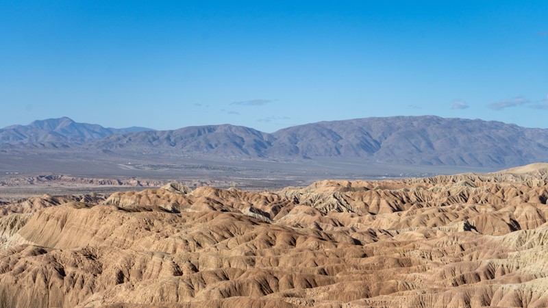
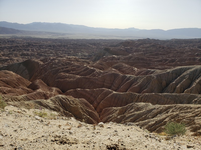
Nicknamed California's Grand Canyon, Font's Point is one of the most popular destinations in the Anza-Borrego Desert State Park. The Point has incredible views of the iconic Borrego Badlands, a 15 by 20-mile topographical wonder. Font's Point looks down into the maze of hills and arroyos that makes up the badland. At one time, the badlands were all under a sea. Sunsets at Font's Point are famous and a must-do for those spending time in Anza-Borrego.
Grapevine Canyon Road
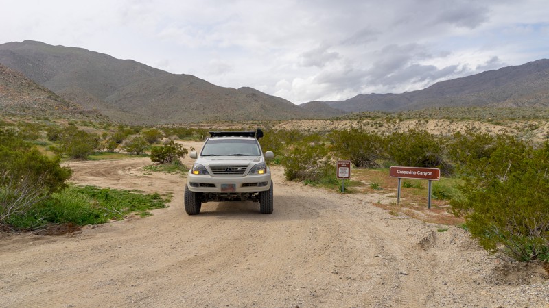
Grapevine Canyon was one of the historic routes into Borrego Valley before SR-78 was completed in the 1930's. Even before it was used as a horse and wagon trail by settlers and miners, Grapevine Canyon was home to the Kumeyaay Indians, and their artifacts can still be found in the area. Today, Grapevine Canyon provides a fun off-road trail either on its own or as a leg of an overland expedition through the desert Southwest. The trail also serves as a grand entrance route into Anza-Borrego Desert State Park, starting from S-22 outside Anza-Borrego and descending into the heart of the park near Tamarisk Grove Campground. A smattering of historic sites dot the trail, including Yaqui Well, a historic year-round seep that native peoples and desert travelers have used for centuries. The area around Yaqui Well is also known for attracting numerous and diverse bird species, making it an excellent spot for bird watching.
Hapaha Flat Road
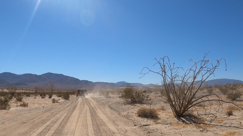
Hapaha Flats in Anza-Borrego Desert State Park is a real treat. Rarely traveled due to its location within the park, the trail has that "away from it all" solitude. The four-wheel drive road rolls through the desert surrounded by Ocotillo, Desert Willow, and Agave in the land once home to the Kumeyaay, also known as the Tipai-lpai, a Native American tribe. They hunted and gathered in the area in the spring and winter months. The pictographs and morteros in the area tell their story of how they were one with the land. Plan for a full day of adventure for this one, as you must drive Fish Creek out and back or take Pinyon Mountain Road.
Coyote Canyon Road
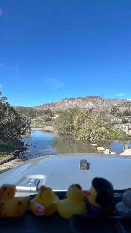
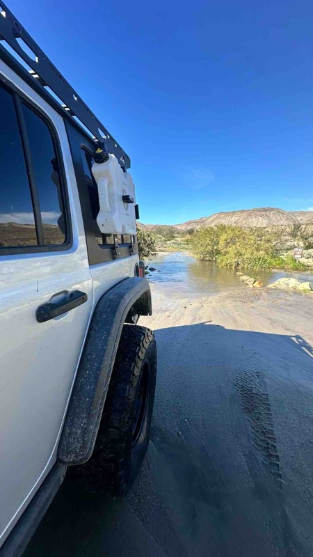
Coyote Canyon Road is a popular trail on the west side of Anza Borrego, known for its year-round water crossings. This oasis-like area of the desert is fun to travel through, especially in the spring during the desert flower blooms. The area directly around the trailhead is marked on State Park maps as a popular flower field with bright purple coloring the landscape. Be mindful of heavy foot traffic as visitors come to see the blooms, and respect management rules. During his overland exploration, Captain Juan Bautista De Anza named Coyote Canyon, where he camped in this area on March 14, 1774. In 1775, Anza led a colonizing expedition of 240 people and over 800 head of livestock from Tubac, Arizona, to modern-day San Francisco, California. Coyote Canyon Road closes at Waypoint 9 from June 1 to September 30 to preserve the watering opportunities for the Desert Bighorn Sheep.
Vallecito Creek Road
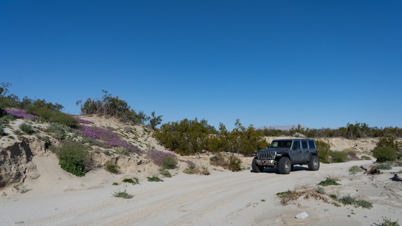
Man has traveled this road for thousands of years, making it an ancient offroad trail in Anza-Borrego Desert State Park. Vallecito Creek Road was part of the Southern Overland Trail. Today it provides an immersive offroad experience of the lower desert along the southern edge of the Carizzo Badlands. Seasonally the area can be Hades or can be Heaven. The heavenly part is that the air is filled with aromatic Desert Sand Verbena and Desert Gold paired with the dry, easy-to-breathe desert air. Wherever you look, the foreground is filled with a chaotic yet sensible composite of vibrant colors against a backdrop of dystopian badlands, all of which are everlastingly watched over by the imposing Vallecito Mountains. The road is a destination and connects to several other routes, making it the perfect pairing for your Anza-Borrego overland trip!
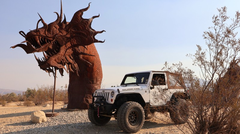
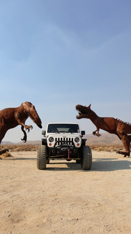
Anza Borrego Metal Sculptures
Arroyo Tapiado
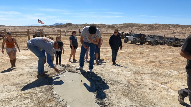
Arroyo Tapiado is a nice drive up a beautiful mudstone canyon within the Anza-Borrego Desert State Park. Outside of the fantastic views, Arroyo Tapiado has the highest density and the longest mud caves in the world, making it a unique place on Earth. It is no wonder why many people flock to see this natural wonder year around. One of the mud caves is over 1,000 feet long, which makes these mud caves seem to last forever once inside. With over 22 known mud caves, this area could provide a weekend of exploring. Just be warned, the mud caves are unstable and susceptible to collapse at any time. The dirt is very soft and will quickly collapse if touched. The park recommends not entering the mud caves.
Canyon Sin Nombre
Canyon Sin Nombre is a stunning offroad trail in Anza-Borrego Desert State Park through the San Felipe Fault Network smashed between the Elsinore Fault and San Andres Fault. The upheaval of these faults is evident along the trail. Many call this trail "The Geologist Tour" or "The Journey Through Time" due to the numerous geological formations from the southwestward tilt of the desert sediments. These formations date back hundreds of millions of years and provide a visually impressive drive through this tectonic wonderland.
Blair Valley
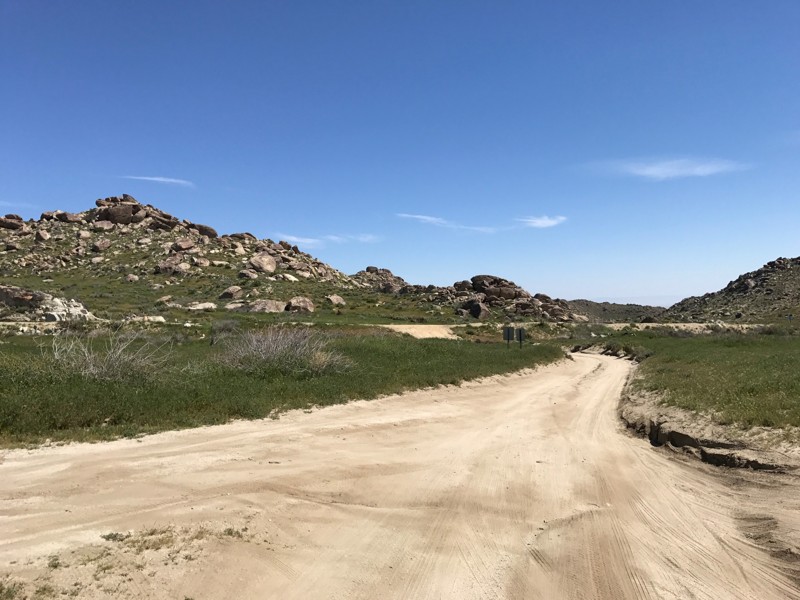
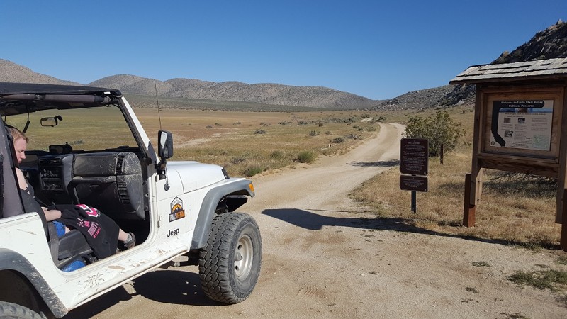
Blair Valley is a popular destination in Anza Borrego State Park due to its rich cultural and historical significance and stunning natural beauty. This valley was once home to a thriving community of Native American people, who left behind various fascinating artifacts and structures that can still be seen today.
One of the highlights of Blair Valley is the pictographs and petroglyphs found throughout the area. These ancient rock paintings and carvings provide a glimpse into the rich cultural history of the Kumeyaay people who once lived in the region.
In addition to its cultural significance, Blair Valley is known for its stunning natural beauty. Rugged mountains and hills surround the valley, home to various unique desert plant and animal species. Visitors can hike through the valley, take in the stunning desert vistas, or explore nearby trails and canyons.
Blair Valley is also a popular spot for camping, with several designated camping areas throughout the valley. Visitors can enjoy a peaceful and secluded camping experience with the sounds of nature and the stars overhead.
Overall, Blair Valley is a unique and fascinating destination that offers something for everyone. Whether you're interested in exploring the region's rich cultural history and stunning natural beauty or simply enjoying a peaceful camping trip, this hidden gem in Anza Borrego is well worth a visit.
Rockhouse Canyon
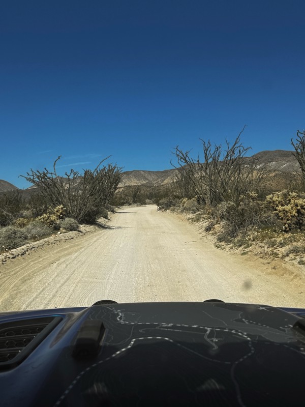
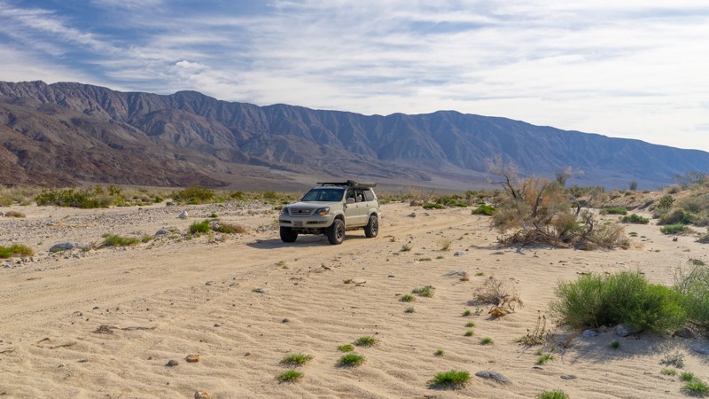
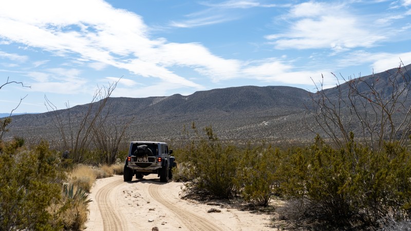
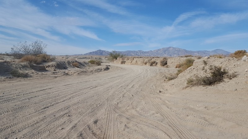
Just outside the sleepy desert town of Borrego Springs, Rockhouse Canyon Road is another fun out-and-back trail to add to your Anza-Borrego Desert State Park list, especially in the springtime. This backcountry trail runs directly along a sprawling dry lake bed in a barren valley between two mountain ranges creating interesting photo opportunities. Climbing out the back of the lake bed, the trail travels a sandy wash filled with tall Ocotillo. Although you won't find much camping on this trail, check out this scenic route through the desert if you are sightseeing in the area.
Jasper Trail
Palo Verde Wash
The Slot
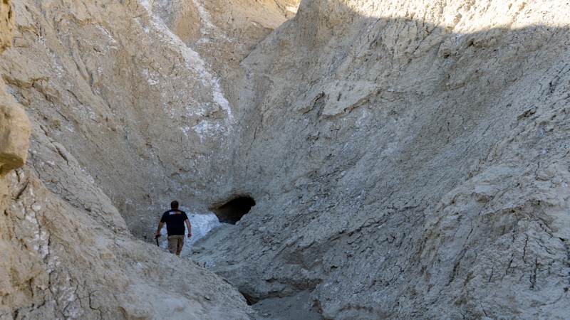
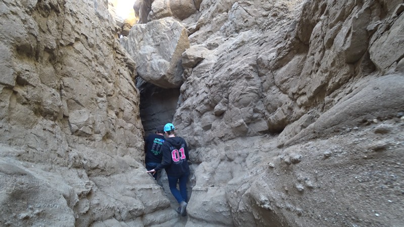
The Slot is an extremely narrow sandstone hiking canyon located in the heart of Anza-Borrego State Park. This popular, family-friendly destination is a great opportunity to take a dirt road to a mesmerizing slot canyon carved by millions of years of flash floods and eroding rock. This unique hiking opportunity in southern California starts as an open-ish area but quickly closes in. At points along the hike, you will be trying to shimmy sideways to continue. Once it reaches the bottom, it opens up to Borrego Mountain Wash, where your 4-wheel drive friends can pick you up and return you to the parking area. Great for groups, friends, or solo adventures, The Slot is a great place to visit for those who come prepared for a day in the desert. The Slot can reach over 110 degrees in the summer, so be sure to bring lots of water and notify people where you are going. This area is at high risk of flash floods and should only be entered on sunny days.
Mortero Wash - Anza Borrego
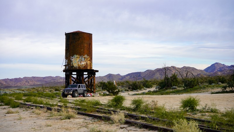
Mortero Wash is a popular destination in Anza-Borrego due to its rich cultural and historical significance and stunning natural beauty. The wash is located in a southeast area of the park and offers visitors a chance to explore the region's fascinating history and unique geological formations. The wash is home to many stunning rock formations and canyons, including the Mortero Palms, an oasis of palm trees fed by a natural spring. Also rich in railroad history, you hike to the famous Goat Canyon Train Trustle, the world's largest wooden train bridge, or keep it easy and check out the old stop directly off the trail. The Kumeyaay, early Native Americans left behind various ancient artifacts, including mortars and pestles used for grinding seeds and grains that you can witness in the Piedras Grandes Cultural Preserve found on the trail.
South Carrizo Creek - Anza Borrego
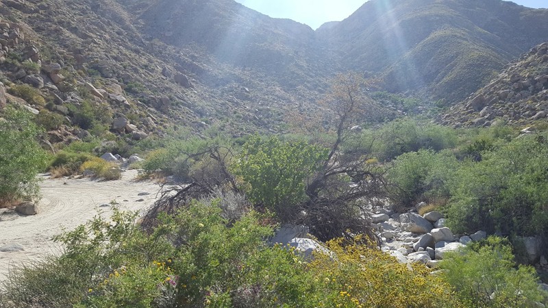
South Carrizo Creek follows its namesake water tributary through a flood plane resulting in one of the greenest trails in the Anza-Borrego Desert State Park. With lush vegetation and perfect for late winter flowers, the trail provides spectacular views of the Vallecito, Tierra Blanco, and the Sawtooth Mountains in one direction and the Carrizo Badlands in another. When exploring the more famous trails, such as Canyon Sin Nombre, don't lose sight of this gem hidden in plain sight.
Borrego Mountain Wash
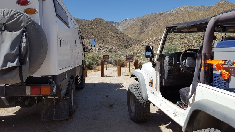
Carrizo Creek / Canyon / Gorge - Anza Borrego
Sheep Canyon - Anza Borrego
Part of Coyote Canyon Lower, Sheep Canyon Trail used to be a popular thruway people enjoyed often. Sheep Canyon got its name from the seasonal pools of water and mud that the big horn sheep come down from the mountains to drink. Now since the park service has closed the trail for a short distance between Coyote Canyon Upper and Coyote Canyon Lower, this area sees a lot less traffic on it. Thus, now this area is a great retreat to avoid crowds and enjoy the peaceful scenery of the Anza Borrego Desert.
Collins Valley Road
Collins Valley Road offers a stunning drive through the Anza Borrego Desert into the northernmost area of Coyote Canyon. Filled with lush vegetation fed by Coyote Creek, don't miss the opportunity to walk into the palm grove oasis just off the trail. The final leg of the trail takes you directly into Coyote Creek wash, where the drive gets bumpy! This is an excellent addition to Coyote Canyon Road and Sheep Canyon Road to make a full day of trail riding just outside of Borrego Springs.
Inspiration Wash
Just 10 miles outside Borrego Springs, Inspiration Wash earns its name in Anza-Borrego Desert State Park. This trail climbs through the Anza-Borrego Badlands to Inspiration Point, where panoramic views of the desert landscape and rock formations sprawl like a network of veins. Be sure to take your camera on this one for great photo opportunities. You can complete the climb from north heading south and return the way you came via Inspiration Wash or continue southwest via Dump Wash. As the name suggests, the end of the trail drops you off right outside the Borrego Springs landfill, but you can quickly hop on S22 and be on your way to your next adventure.
Pumpkin Patch Trail - Ocotillo Wells SVRA
Goat Canyon Trail
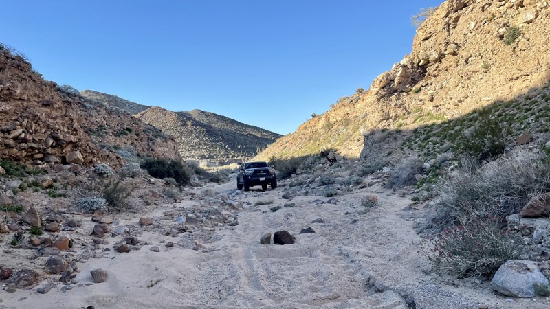
Goat Canyon Trail is a challenging trail in the southern portion of Anza Borrego Desert State Park. The terrain varies between soft sand, small rock gardens, a rocky canyon, and a heavily rutted dirt hill. Maps show that the hill is one-way and should only be driven downhill. 4WD is necessary, and larger vehicles will have difficulty fitting between the narrow rock walls in the small canyon portion. There are a few large rocks in the trail and a small ledge. The most challenging part of this trail is a steep hill composed of loose sand and dirt. The hill veers into a left turn with large ruts. The hill requires caution because the ground is extremely loose, and it is easy to slide off the edge while trying to descend and turn left. Airing down is highly recommended. The trail ends at Jojoba Wash, which you can take to Highway S2.
Dispersed camping is allowed throughout Anza Borrego, although no suitable campsites are directly off this trail. There are large open areas where multiple vehicles could camp once you get to Jojoba Wash, and a few smaller campsites are suitable for 1-2 vehicles off Dos Cabezas road.
Tectonic Gorge - Ocotillo Wells SVRA
Olla Wash - Anza Borrego
In the Anza-Borrego Desert State Park, Olla Wash leads to one of the more famous attractions, the Mud Palisades. The Mud Palisades resemble ornate columns in what you might see in a European gothic church. Formed over time by dripping water and wind, they provide a beautiful experience for those seeking natural wonders. Olla Wash is a perfect offroad trail for those looking to escape the more crowded parts of Anza-Borrego and who want to get up close and personal with striking landscapes.
San Felipe Wash
Calcite Mine Trail
The Calcite Mine in Anza-Borrego Desert State Park is a fascinating destination that many off-roaders and overlanders like on their adventures that combine history, geology, and natural beauty. During World War II, the mine played an essential role as a source of industrial-grade calcite, which was used to manufacture optical equipment such as bomb sights and periscopes. Today, visitors can hike the area and explore the remains of the mines while taking in the stunning desert landscape. Along the way, you may encounter wildlife like desert bighorn sheep and coyotes and see unique geological formations like Calcite Canyon and the surrounding badlands. The Calcite Mine is a must-visit for anyone interested in history, geology, or outdoor adventure.
Short Wash
When traveling through the deserts of Ocotillo Wells and Anza-Borrego State Park, there is an amazing scenic shortcut when heading to Fonts Point. Short Wash provides a pleasant drive in an area that humans rarely touch. This backcountry trail is one of the more peaceful drives in the area, and many find it to be one of their favorites. Along the route, you will see the Santa Rosa Mountains hovering off to the north, while at the same time surrounded by all the fantastic desert flora and fauna. If you are sightseeing or on an overland adventure, check out this scenic route through the desert.
Old Culp Valley Road
Little Blair Valley
Dos Cabezas Road
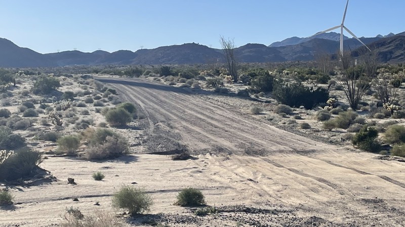
Dos Cabezas Road is an easy, sandy track near Ocotillo that leads into the lower part of Anza Borrego. The road is well maintained because it provides access to the wind turbines scattered along the trail. Any 2WD vehicle with moderate ground clearance can manage, although conditions may change after rain. The most challenging portion of this trail is a small hill, which is easily conquered by any vehicle. The trail leads to various other trails in the area to explore. Dispersed camping is allowed throughout Anza Borrego. Several trailside campsites are large enough for 2-3 vehicles.
Jojoba Wash
Jojoba Wash is a challenging trail in the southern portion of Anza Borrego Desert State Park. Most of the trail is an easy dirt and sand track that could be managed in 2WD. However, one tricky hill climb requires 4WD and bumps this trail rating to Moderate. The connecting Goat Canyon is rated Difficult due to a steep, heavily rutted hill climb. However, Goat Canyon is optional. Jojoba Wash is a loop. You can exit the way you came.
Anza Borrego Desert State Park allows dispersed camping. There are ample opportunities throughout Jojoba Wash. Much of Jojoba Wash is open, sandy, and perfect for camping.
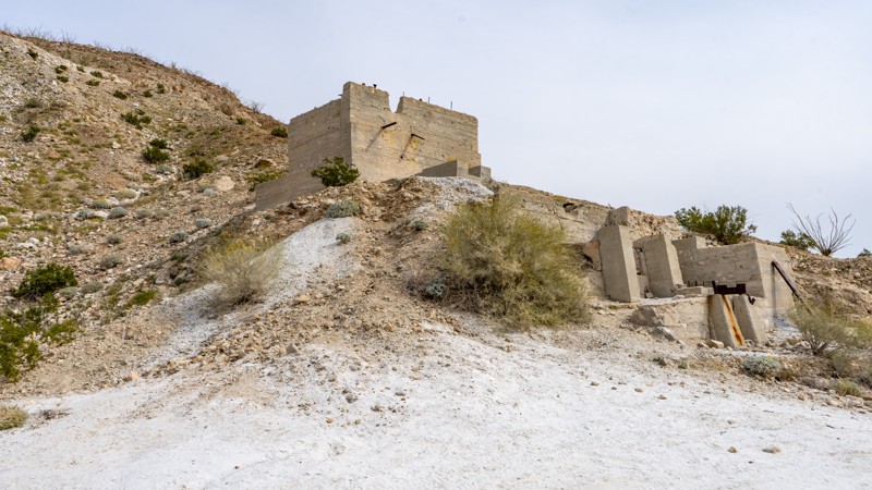
Dolomite Mine - Anza Borrego
The Dolomite Mine is a great stop when traveling through Anza Borrego State Park. Once a Dolomite Marble and Magnesium Calcium Mine located in the Coyote Mountains that operated from the 1920s until the 1960s. Today, visitors can explore the remnants of the old mine and get a sense of what life was like for the miners who once worked here. The site features a number of rusting metal structures, abandoned mining equipment, and other artifacts that provide a window into the area's mining past. These old structures is a great place to explore and provides a great overlook of the South East corner of the park. The trail is one of the harder trails in the area, so when traveling this trail, make sure your vehicle is in good running order.
Overall, the Dolomite Mine is a fascinating destination that offers a unique glimpse into the history and natural beauty of Anza Borrego. Whether you're interested in exploring the area's mining past, off-roading through the scenic landscape, or simply taking in the stunning desert vistas, this historic site is well worth a visit.
North Fork Fish Creek
North Fork Fish Creek, an often overlooked trail in the Anza-Borrego State Park, is a unique and quiet trail splitting off near the Wind Caves on Fish Creek Trail. The trail's canyon cuts through various geologic layers, including sandstone canyons and mud cliffs. The seldom-used trail follows open sandy washes with a few mild rock-crawling opportunities to spice things up, making it a great overlanding trail for the person looking for a place to have the desert to themselves.
North Fork Fish Creek has several flat campsites suitable for any sized group with flat dirt areas and low traffic.
Tule Wash
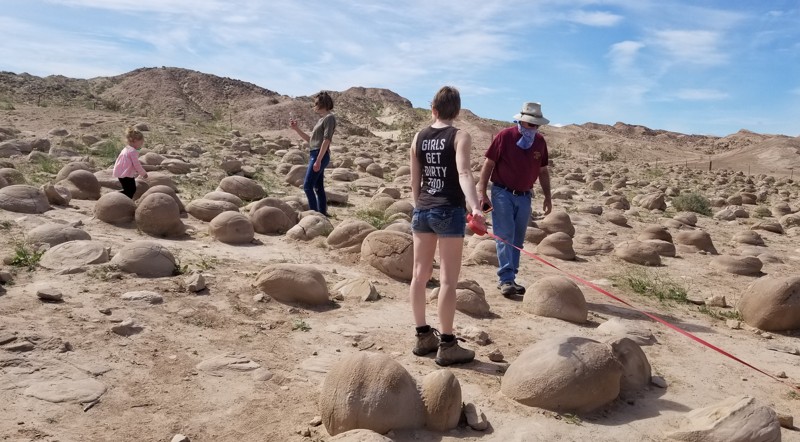
Tule Wash is famous for its Pumpkin Patch. Located in Ocotillo Wells OHV, this trail runs east to west and is probably one of the highest-traveled routes in the area. The Pumpkin Patch is an area of rocks ranging from just a few inches to several feet around, and as the name says, they look like pumpkins. Created when the Colorado River ran through the area, these rocks are unique and fun to stop at and take photos with. But be warned, even though Tule Wash is an easy trail, the sand can get soft in places, so make sure you air down. Due to the remoteness of this trail, there isn't really any ideal camping. Not saying you couldn't, but it is just a wash. If you are looking for cool places to camp, camp near the north side of Cross Over Trail near the hills. There you find places in the coves for tent camping and open flat ground for RV's.
Indian Gorge
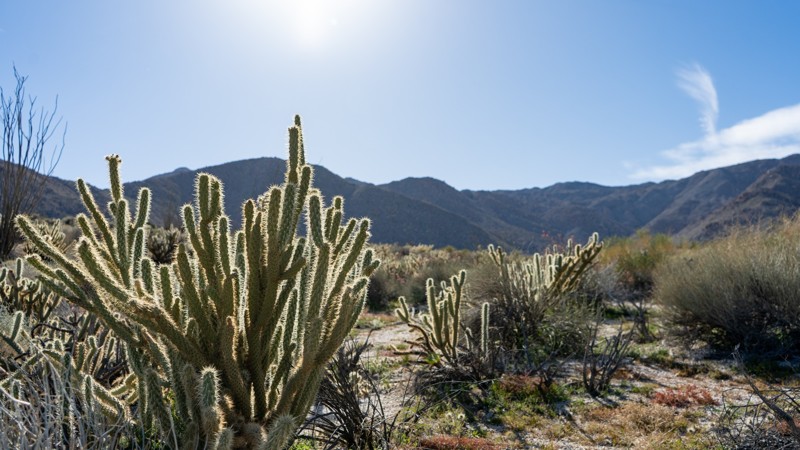
Starting from the Carrizo Valley on S2, the trail enters a tight and colorful gorge with the Tierra Blanca Mountains on the north and the Jacumba Mountains on the south. As you drive, towering canyon walls on either side give way to Indian Valley, a beautiful bowl dotted with backlight chollas that create an angelic glow. You will want to drive slowly, looking for the well-camouflaged big horn sheep who like to call the canyon walls home.
Borrego Springs
Loop Wash
Loop Wash is an alternate side trip to the more famous Fish Creek. No pun intended, but it "loops" around a portion of Fish Creek, making it a perfect alternative when going in or out of Fish Creek. The entire area that makes up this system of trails was once a shallow sea five million years ago. If you take the time and look closely, you will find Coquina shell beds in the mud ledges that line the trail.
South Fork Palm Wash
Arroyo Salado Wash
Arroyo Salado Wash is on the northern side of Ocotillo Wells OHV and Anza Borrego State Park. This east-west trail provides great views and fun exploring. With several natural oases off this trail and an amazing mud cliff, this is one of the better overlanding routes in the area. On the northwestern end of the trail, the Arroyo Salado Primitive Campground has a variety of unimproved sites and a vault toilet.
June Wash
June Wash in the Anza-Borrego Desert State Park is notable for its desert flower blooms in February and March. The road is primarily sand until the very end, where it enters a badlands and gets narrow and rocky. The trail is an out-and-back. While you could camp in June Wash, it's not ideal.
Shell Reef Expressway
Gas Domes Trail
North Indian Canyon
As a continuation of Indian Gorge, South Indian Canyon drives through a much more expansive canyon from Indian Valley. Along this adventure, you are submersed in the cirque-shaped bowls in boulder-laid mountains. This cirque-shaped bowl, however, doesn't include glacier-packed lakes but rather an entire sampling of desert plantlife that includes cholla, agave, creosote, and ocotillo. The drive-in provides one experience, while the drive-out gives you an entirely different perspective of Indian Gorge, which you took to get here.
Buttes and Hawk Canyon
Hawk Canyon is a cool escape when over by the slot. Hawk Canyon itself is a small box canyon with towering rock walls. People often use this area to disperse camp and relax after a long trip. Due to the area, it doesn't see a lot of traffic, making it a great place to explore and get away from the crowds. Most people camp nearby at Blow Sand since there are restrooms, showers, and spots to park RVs. But, several areas near the mouth of Hawk Canyon would make for great spots to get away from the crowds with plenty of room for any size group.
South Indian Canyon
One of Anza Borrego's great southern trails, South Indian Canyon is almost a mirror image of North Indian Canyon and is a dream come true for overlanders and 4x4 enthusiasts alike who are looking to escape the headache of city life and enjoy the solitude and beauty of the amazing Anza Borrego State Park. Along the route, you will be submerged in amazing desert plant life amid stunning boulder-filled mountains in the background. You can even see the Carrizo Badlands lurking off to the north from the high points. Once you reach the trail's end, you come across an oasis with natural palms used by the Kumeyaay, also known as the Tipai-lpai, a Native American tribe. Because of this, many people often say this is one of their favorite memories while visiting the southern section of Anza-Borrego State Park.
Vista del Malpais
Consider Vista del Malpais, it's like Font's Point without the crowds. A short uphill drive on an easy road leads to a vantage point overlooking the Borrego Badlands. The Borrego Badlands get their unique topography from being near the trailhead off Short Wash. This trail is suitable for any high-clearance vehicle.
Gettysburg - Ocotillo Wells SVRA
Mortero Wash North - Anza Borrego
In the southwest corner of Anza Borrego State Park sits one of the most visited trails in this desolate part of California, Morero Wash North. An extension of Mortero Wash, this short trail surrounds you with some of the most fantastic flora of the southern portion of the Anza Borrego Desert. Whether you are out exploring the vast desert landscape or trying to get to the Dolomite Mine for some sightseeing, Mortero Wash North will be a great addition to your trip.
Arroyo Tapiado North
The northern section of Arroyo Tapida was recently opened. The trail isn't very heavily traveled and takes you back into the badlands of Anza Borrego. Once reaching the badlands, the trail becomes narrow and more difficult, eventually leading to a pinch point impossible to pass through. The trail offers a few small, flat, secluded campsites.
McCain Spring
The now-dry McCain Springs at the trail's western end was once Fish Creek's headwater. The trail is lined with tall ocotillo cacti, which make for a stunning drive. Snuggled back in the rocky hillside at the trail's end is a great camping spot large enough for five vehicles near the now-dry spring. This is mountain lion country, so understand the risk.
Thing Valley Road
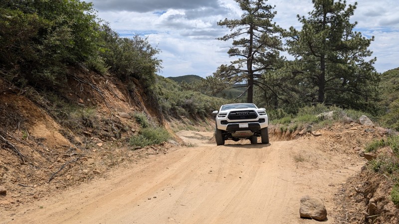
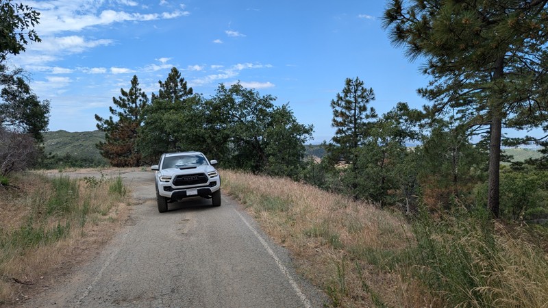
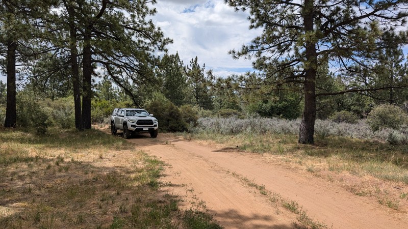
Thing Valley Road is easily accessed off Sunrise Highway (S1) on Mt. Laguna. It parallels and crosses the Pacific Crest Trail (PCT). It is mostly graded with large humps in the road for erosion control. Some of the humps are tall and steep, enough to think twice about bringing a vehicle with a low break-over angle. There are loose rocks, but 2WD vehicles should manage them well enough.
The route is located in the Cleveland National Forest where dispersed camping is allowed, however, the appropriate passes and permits are required. There are several campsites along the way, including one at the intersection with the PCT.
The road exits the Cleveland National Forest at 2.1 miles and is gated at 2.6 miles with a very small space to turn around.
Bow Willow Creek Road
Bow Willow Creek is an easy trail that cuts over to Corizzo Wash. Besides the views of the badlands of Anza-Borrego off in the distance to the north, wildflowers attract visitors to this quiet trail. The colorful flora is usually present in late winter or early spring.
Camping is abundant along the trail. Many sites can accommodate larger vehicles or groups.
Mortero Palms - Anza Borrego
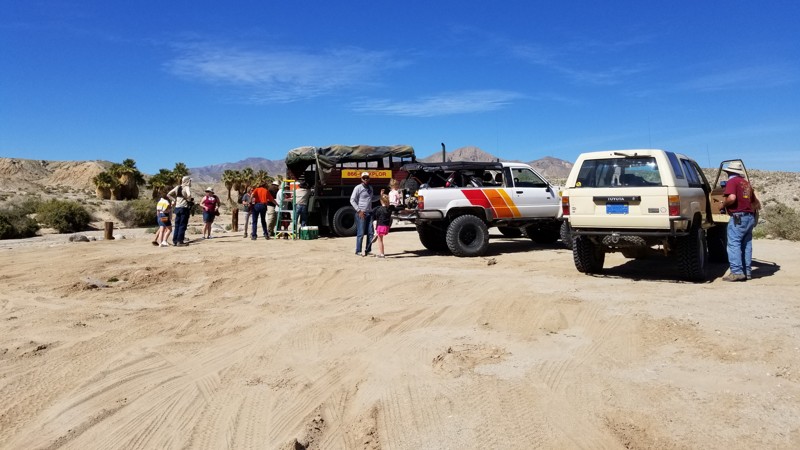
The Jacumba Mountains shield this area from weather and afternoon sun. It made for more hospitable dwelling lands for the Kumeyaay, who made this area home for over a thousand years. The palm grove up this canyon provided them with material for structures and clothing. Today Motero Palms delivers a beautiful hike to the palms and a sought-after camping opportunity that is not well rivaled within the park.
Main Street - Ocotillo Wells SVRA
Ella Wash
Anza-Borrego State Park's northern territory has this simple and floral-rich wash. Ella Wash, named after Ella Calvert, the wife of the first Anza-Borrego supervisor, is the perfect new to the off-roading scene trail. Along the route, you will get a taste of the northern territory of Anza Borrego State Park, with the Santa Rosa Mountains hovering in the background. At the same time, the foreground has stunning plant-rich scenery. It was said that Ella spent a lot of time in this area of the park as this was her favorite area due to the wide range of fauna that grows in this area, which doesn't grow in any other part of the park. Many say this is one of their favorite drives in the park due to the wide range of colors you see along the route.
Upper Jojoba Wash
Upper Jojoba Wash is an easy dirt trail in Anza Borrego Desert State Park that connects Dos Cabeza Road to the upper portion of Goat Canyon Trail. A 2WD vehicle can manage this trail, but the connecting Goat Canyon Trail is rated Difficult. The hardest part of this trail is a small bump, which any vehicle with a little ground clearance can manage.
Anza Borrego allows dispersed camping. A few open areas along the trail would support two to three vehicles.
5 Palms Oasis
Los Cabezas Mine
A side trip to the old Dos Cabezas Limestone Mine, established in 1958, is worth adding to your explorations of the vast Anza-Borrego Desert State Park. Sites along this short trail include the abandoned limestone mine, an old train trestle, and one of the more unique campsites in the park. The next time you are in the area, make a quick loop and check out the sites of Dos Cabezas Limestone Mine.
Upper Kitchen Creek Road
Kitchen Creek Road used to be a through route between Mt. Laguna and I-8 to the south, however, the middle section is now permanently closed. The upper section has roughly a 600' elevation difference, so it's relatively flat but permanently gated at 2.5 miles.
Along this route, there are many spurs and sites for dispersed camping. The road itself is easily traversable with any 2WD vehicle, but the spurs and access to the campsites range from easy to almost impassable.
This route is in the Cleveland National Forest and may require an Adventure Pass and/or Campfire Permit (even for gas stove use).
17 Palms Oasis
Thimble Trail
Thimble trail is a cut-a-cross from Short Wash to Highway S22. Although the trail isn't popular, this is a great way to exit from Font's Point to enjoy views of the area and have a secluded and relaxing drive. Taking the trail from south to north, you will experience stunning views of the Santa Rosa Mountains across the highway as you work through what seems like never-ending desert fauna. The trail is an easy dirt path that any 2WD high-ground clearance vehicle can complete.
Even though you could disperse camp off this trail, most people camp off short-wash as that area provides a wind break. The best camping on this trail is near the southern end, where the fauna is more spread out, reducing your risk of getting injured by sharp plants.
Palm Wash
Connecting Truckhaven to Calcite Mine, Palm Wash is a 7-mile trek through deep sand and whoops, with steep wash walls on either side. There are occasional drop-offs and step-ups and plenty of blind spots, so don't travel faster than safe. Like most washes, Palm Wash is a popular area for highspeed users, so be sure to keep your head on swivel around turns. Trail is suitable for any high clearance vehicle.
Dolomite Mine Road
Hidden in the low deserts of Southern California is an area that has been forgotten in time. Just outside Ocotillo, Anza-Borrego State Park has a rich mining history, where travelers once came to mine the area for minerals in the 1930s. The Dolomite Mine Road was part of this area when men of the past were hoping for riches. Today, the mine has been forgotten, but the views are amazing. Off in the distance, you can see the scenic Carrizo Badlands glowing through the haze of the Salton Basin. So whether you are starting your overland adventure or finishing it, make this little blip of history a stop to experience the stunning views and remaining history of what once was.
Timbers Edge Rc H
An easy spur off of Upper Kitchen Creek Road with two nice places for dispersed camping. The road is fairly rutted so it may be a little difficult for minivans and camper vans.
The road is in Cleveland National Forest, where dispersed camping is allowed but requires the appropriate permits, an Adventure Pass, and/or Campfire Pass (even for gas stoves).
Timbers Edge Rc G
An easy spur off of Upper Kitchen Creek Road with a nice place for dispersed camping. There are roots and ruts, but they are passable for most vehicles.
This is in Cleveland National Forest, where dispersed camping is allowed but requires the appropriate permits: Adventure Pass and/or Campfire Pass (even for gas stoves).
Cuyapaipe Tank Road
A short branch off of Thing Valley Road that ends at a water tank reservoir. The trail has a few small roots and bumpy ruts that a high clearance 2WD should be able to handle. There is also a campsite closer to the intersection with Thing Valley Road.
This route is in the Cleveland National Forest, so you may need appropriate passes and/or permits, even for gas stove use.

Unlock all of the details on every Trail Guide and Scout Route.
Start a 7-day Free Trial