



By clicking "ACCEPT", you agree to be the terms and conditions of each policy linked to above. You also agree to the storing of cookies on your device to facilitate the operation and functionality of our site, enhance and customize your user experience, and to analyze how our site is used.
California Off-Road Trails
414
Total Trail Guides 391

4102
Detailed Waypoints 523
Try a Free 7-Day Trial and unlock it all
Start a Free Trial Most Recent Trail Reviews
Rated 5/5
Open
Visited: 09/19/2026
Great beginner trail here for those looking to try out some rockier sections. Starting to trend a little closer to a rating of 4, but still a 3 I’d say

R
Rob
Rated 5/5
Open
Visited: 09/19/2026
I entered this trail from Freeway Ridge 4WD trail (31E77) and ran Black Gulch Jeep Trail up to Rancheria Road, turned around, and ran Black Gulch Jeep Trail all the way down to Keyesville Road in Lake...



Daniel Macioce
Rated 4/5
Open
Visited: 09/19/2026
Took out the vstrom 800de today and this thing was tough for someone like me who is pretty new to offroading motorcycles. I ended up turning around about half way because I wasn't sure if I would be a...
SK
sean kotrola
No Rating
Open
Visited: 09/19/2026
The trial marked by the app here is very difficult with all the recent deep washouts. Proceed at your own risk if you are by yourself with unmodified rigs. However the bypass is maintained and should ...
TB
Timmy Boby
Rated 5/5
Open
Visited: 09/18/2026
Very friendly fire watch tower volunteers and fantastic 360 degree views up top
R
Rob
Rated 5/5
Open
Visited: 09/18/2026
Great views and an easy drive through. Be sure to take the road up to the fire watch tower
R
Rob
Rated 5/5
Open
Visited: 09/17/2026
ran the trail twice last weekend, this is such a better way to go than 3n16...


Josh Noesser
Official Crew
Rated 5/5
Open
Visited: 09/16/2026
It's been 6 years since I visited this trail. It has seen some wear, but the overall difficulty is about the same, probably a bit higher now, as Waypoint 11 has suffered from traffic. Waypoint 11 ha...

Robert
Official Crew
Rated 5/5
Open
Visited: 09/16/2026
Started off from polique canyon at way point 13 and headed east. Its a great trail for most of it with scenic views. A good amount mud puddles that were fun as hell to drive through. Some I decided to...


VM
Victor Manuel Garcia
Rated 5/5
Open
Visited: 09/16/2026
Used this trail to get to Holcomb valley. Super easy and a nice drive, I can see how in the winter it can be a bit more challenging with rain and snow.
VM
Victor Manuel Garcia
No Rating
Open
Visited: 09/16/2026
Mostly easy, but heading NE there's a rock step down just a few miles in that *requires* high clearance. Banged the rear end of my 4runner despite having a 3" lift and 33" tires. A stock SUV would alm...



Carlos H.
Rated 5/5
Open
Visited: 09/14/2026
A fun little detour off Burns Canyon. I ran this alone and stopped a few times to spot; I also used my grill camera in several places. I brushed my sliders a couple times, but no real issues. Definite...
EB
Ed Boyd
Rated 5/5
Open
Visited: 09/13/2026
easy perfect beginner off roader trail with great views and water crossing during the winter.



Dex Offroad
Rated 5/5
Open
Visited: 09/11/2026
super easy trail over looking the valley and 15fwy. only bad thing is that its super windy.

Dex Offroad
No Rating
Partially Open
Visited: 09/09/2026
Although you can cross the creek from Fordyce if you want, Committee Road is still closed back to the I80, so this has no exit, and you'll be forced back onto Fordyce.

Ryan Boudreau
Official Crew
No Rating
Temporary Closure
Visited: 09/09/2026
Road is still closed. I thought i read somewhere an expected 2030 opening, but can't confirm that info.
Ryan Boudreau
Official Crew
Rated 5/5
Open
Visited: 09/09/2026
This is an awesome trail . This trail is moderate with a few obstacles to make it fun. It also has incredible scenic views with a little bit of shelf roads. You can watch the full video on my YouTube ...


Dex Offroad
Rated 5/5
Open
Visited: 09/07/2026
Pretty spot on with the rating, was a little tough today with the rain but made it through in my 2023 Gladiator Overland with 2.5” lift and 35s with autolynx sway disconnects.


CT
Christopher Tanton

Shaan Heugly
Rated 5/5
Open
Visited: 09/06/2026
Drove reverse from what’s listed to the jasper trail. This is a easy but enjoyable trail with plenty of places to camp at the end of the
Shaan Heugly
Rated 5/5
Open
Visited: 09/06/2026
Bit washed near the top but nothing difficult to navigate. I headed from jasper to the highway and near the highway it did narrow. I got through with my Tacoma but there are a few pinch points I could...
Shaan Heugly
Rated 5/5
Open
Visited: 09/06/2026
Mostly easy trail but when going south to north, I did need to use 4Lo on some of the inclines with a loaded Tacoma
Shaan Heugly
Rated 4/5
Open
Visited: 09/05/2026
It had been five years since I last drove this trail. The long, annoying stretches of moguls are still there, and water erosion has added a touch more difficulty in places. It was nice to see the old ...


Robert
Official Crew
Rated 4/5
Open
Visited: 09/05/2026
This is a nice trail with great views for any 4WD with ground clearance as some sections have ruts that are 12+ inches deep. Things were very dry on my visit, so airing down the tires helped to smooth...


SG
Steve Graham
Rated 3/5
Open
Visited: 09/05/2026
From waypoint 7 to 10 the water damage is pretty bad. Waypoint 13-16 it is rocky. Nothing crazy but a few spots where patience and the right line will go a long way. Good clearance and 4x4 recommended
N
Noah
Rated 5/5
Open
Visited: 09/05/2026
Easy trail with an awesome view at the end. There were three lookouts in the fire tower and each one was super friendly and informative. Must see trail!


N
Noah
Rated 5/5
Open
Visited: 09/05/2026
fun easy trail, Butler Peak lookout is the highlight imo
N
Noah
Rated 5/5
Open
Visited: 09/04/2026
Trail was very well maintained. Thanks for the Fresno 4x4 club. It was very cold at night, into the 30s. We were on the trail two nights, 3 days and two nights at voyager rock due to a breakdown fr...
JD
John Drago
No Rating
Open
Visited: 09/04/2026
Beautiful area, but the trail itself wasn’t very interesting. I’d rate it around a 3/10, with a couple of optional sections that might push a 4.
There’s tons of dispersed camping throughout the area,...


Ryan Smith
Rated 5/5
Open
Visited: 09/01/2026
awesome trail with a lot of water crossings. just be careful of sxs and bikes since its a OHV area.

Dex Offroad
Rated 5/5
Open
Visited: 09/01/2026
Super easy trail and you can over look the high desert. Trail ends at an awesome view point.

Dex Offroad
Dex Offroad
Rated 5/5
Open
Visited: 08/31/2026
This trail is much harder than it used to be. It’s just as breathtakingly beautiful as ever. You are on your own out there. Fuel, parts, spare tire. It’s days from help if you need it so go prepared. ...

CP
Christopher Pepin
No Rating
Open
Visited: 08/30/2026
Ran this trail today and had fun. Easy trail with great views. I wouldn’t hesitate to take an experienced driver in a stock jeep up this. There are lots of trails in this area and way to get off the m...

CP
Christopher Pepin
No Rating
Open
Visited: 08/29/2026
Trail was in good shape, a little less sand makes the boulders a little bigger. People have made the bypass around the sluice a little bit longer than it used to be you miss a lot of the good rocks. O...
C
Campbell
Rated 5/5
Open
Visited: 08/29/2026
An often overlooked and amazing trail. It’s about the length and difficulty of the rubicon if you don’t hit any of the bypasses on the rubicon. We had a group of 3 lj on 40s, a jku on 42s, and an Xj o...
CP
Christopher Pepin
Rated 4/5
Open
Visited: 08/27/2026
This is most definitely a hard trail. Is the entire thing hard? Not at all. The western 7 miles are a hard packed dirt road. Then you run into 3 straight, large boulder obstacles where its clear many ...


Ryan Boudreau
Official Crew
Rated 4/5
Open
Visited: 08/27/2026
Easy drive with beautiful views and . . . Buck Rock! Lots of camping south of Buck Rock, but camping north of the Rock isn't as plentiful. There are a few others on the north, but there's one here: 36...


Carlos H.
Rated 5/5
Open
Visited: 08/26/2026
I really enjoyed this road. It's super scenic with the sierra's in the background, the white beaches, and the columns are really cool. The road is not anything challenging with a high clearance vehicl...


Ryan Boudreau
Official Crew
Rated 4/5
Open
Visited: 08/25/2026
Fun area. The hot springs are pretty popular and well-known, and because they are small, you'd better hope you are one of the first people there that day if you want to get in. The route is easy, exce...


Ryan Boudreau
Official Crew
Rated 4/5
Open
Visited: 08/25/2026
I liked this trail a lot, but it's not quite a 5-star trail for me. I feel like it's a little overhyped. Is it scenic? Absolutely! Is there tons of great camping? Totally! Is it a crazy busy? You Bet!...


Ryan Boudreau
Official Crew
Rated 4/5
Open
Visited: 08/25/2026
Road to the hot springs parking area is easy. There are regular passenger cars there. The hike is easy too. The tub itself is super scenic, but know that they are not hidden gems by any means and we'l...

Ryan Boudreau
Official Crew
Rated 3/5
Open
Visited: 08/25/2026
It's a simple road, but definitely very scenic and really only used to get from Convict to Laurel Lakes or Mammoth. Road is suitable for anything with decent ground clearance.


Ryan Boudreau
Official Crew
Rated 2/5
Open
Visited: 08/25/2026
Simple dirt road used to access other types of recreation. Many signs remind you that you aren't allowed to camp along it except at the campground.


Ryan Boudreau
Official Crew
Rated 3/5
Open
Visited: 08/23/2026
Simple, straightforward dirt road used for fishing access.


Ryan Boudreau
Official Crew
Rated 5/5
Open
Visited: 08/23/2026
Amazing views at the top of this trail. Erosion looks to be making this trail harder than it probably originally was. Most of the hardest spots are getting bypasses created around them. A short, st...



Dan Jurgella
Rated 5/5
Open
Visited: 08/23/2026
Toad Lake Road 40N64 was a long, slow, and wonderfully remote drive into the Trinity Divide. The changing mix of old pavement, dirt, loose rock and deep ruts kept the journey interesting, while forest...



Rose Meirs
Official Crew
Rated 5/5
Open
Visited: 08/23/2026
North Fork 41N53 was a fun backcountry drive through the forest west of Mount Shasta. Early in the trip, a wrecked motorhome beside the road provides unforgettable confirmation that you are on the rig...


Rose Meirs
Official Crew
No Rating
Partially Open
Visited: 08/23/2026
The trail is still only partially open. I drove it from Old Mill Road to the closed gate. Once I was at the gate, I took the connecting trail back into Big Bear Village.
For exact trail names and n...

John Mantey
Rated 3/5
Open
Visited: 08/22/2026
Nothing really special about the road. It's easy and gets progressively rockier the closer to the lake you get, but it's not challenging, and you will see plenty of small SUVs and crossovers along the...
Ryan Boudreau
Official Crew
Most Popular
Updated: 07/18/2024
Deer Valley
Bear Valley, California
High in the Stanislaus and Eldorado National Forest, between Lake Alpine and Blue Lakes, is one of northern California's great mountain season 4x4 trails, Deer Valley. Continuous rock crawling, numerous camping opportunities, beautiful mountain views, dense forest, two creek crossings, and a high mountain meadow make up the Deer Valley Four Wheel Drive Trail. Starting at the Hermit Valley Campground, Deer Valley travels through a narrow section of forest surrounded by the Mokelumne Wilderness before reaching Lower Blue Lake at the north end.
This rough, rocky trail is best enjoyed by more experienced wheelers in modified rigs traveling south to north, but stock 4x4s looking for a challenge can give this trail a try from the north entrance.
Updated: 10/24/2023
Barrett Lake Jeep Trail
Kyburz, California
Lakes, swimming, camping, fishing, hiking, and of course, rocks, tight squeezes between trees, and long hillside climbs will keep seasoned wheelers in lifted rigs entertained throughout Barrett Lake Jeep Trail. The Barrett Lake Jeep Trail, topped only by the legendary Rubicon and Fordyce Creek is one of northern California's best rock-crawling trails. In the Eldorado National Forest, Barrett Lake includes continuous challenging rock obstacles, scenic mountain views, swimming, fishing, lakeside camping, and even hiking to a past aircraft crash site north of the trail's end.
If the three lakes on the way in and at the end of the trail aren't enough, continue on foot into the Desolation Wilderness north of Barrett Lake to Lost Lake, Lawrence Lake, Top Lake, Lake Number Three, and, many many more.
This is a true five-star rock crawling trail!

Updated: 03/09/2026
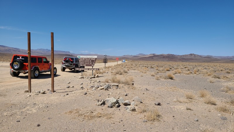
Saline Valley Road
Monola, California
This is the only trail that runs north to south on the northern side of Death Valley. This is also the easiest way into the Saline Valley. The trail has amazing views of the mountains towering over the salt flats. The area is a very remote desert with no resources. Never travel alone. Dispersed camping is abundant along Saline Valley. For warmer days, check out Boxcar Cabin on the southern side up in the mountains. With cooler weather, plenty of camping is available in the Saline Valley, the center area of this trail. All camping is dispersed and remote. Prepare accordingly.
Updated: 06/19/2024
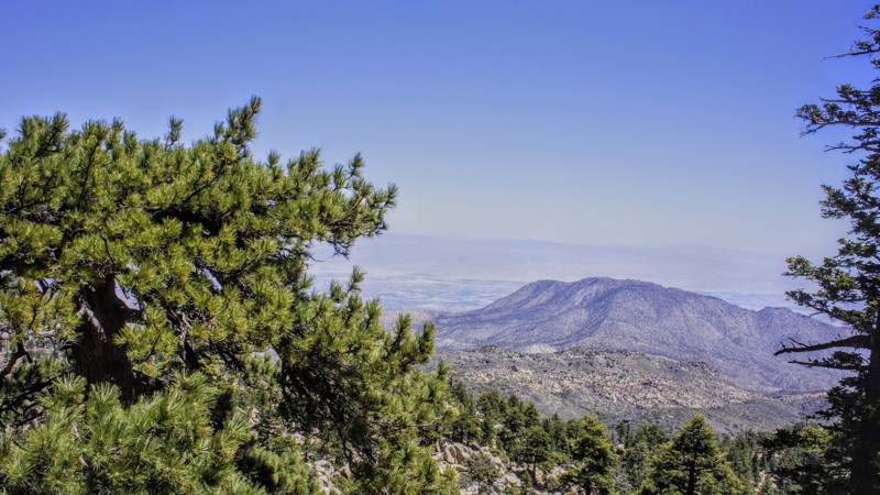
7S02 Santa Rosa
Anza, California
7S02 Santa Rosa Truck Trail is in the San Bernardino National Forest. This trail has just about everything for the avid 4-wheeler. The scenery, campsites, running springs, geocaching, wildlife. Something for everyone. Come wheel with a friend for safety and enjoy the day with a picnic or pack your gear and stay in one of the many Yellow Post sites for 14 days with up to 8 people and 2 vehicles.

Updated: 10/15/2024
2N17X - Pilot Fuelbreak aka The Old Pilot Rock Trail
Apple Valley, California
On the north side of Canyon Pass near Apple Valley, California is a fun and exciting trail that can challenge even the most experienced of drivers. 2N17X Pilot Fuelbreak, or the old Pilot Rock Trail, is a short but extreme off-road trail that winds up the hills near Lake Arrowhead and Silverwood Lake. Full of steep hills and amazing views, there is no wonder why Southern Californians come from far to wheel this epic offroad trail. But don't be worried if you are not in some built rock buggy, the trail is perfect even for people in stock vehicles. That is because it has bypasses around the very hard lines, but still, some fun stuff for the more stock vehicles to struggle on. So jump in your 4x4, and check out this ultimate Jeep trail in SoCal.
Updated: 07/21/2026
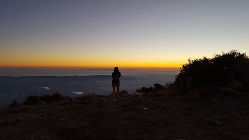
North Main Divide - Middle Section to Saddleback
Orange, California
The keyhole to the highest point in Orange County, North Main Divide Trail, is known for its proximity to Central Orange County and amazing views. The trail skirts along the side of the mountains, reaching both peaks of the famous Saddleback Mountain that separates Orange County and Riverside County. While heading up to Modjeska Peak, the trail is mostly rocky, while the second half going up to Santiago Peak is mostly dirt. Santiago Peak reaches a staggering 5,689 feet above sea level, allowing for cooler weather during the summer and snow in the winter. Not only is the nice weather and the fact that it is only minutes from the metropolitan area of Orange County what brings people to this area, but it is also the stunning views and the remote location, plus the great off-road experience, which provides what many say is the perfect combination for an amazing off-road trip.
Did we mention this is probably the best sunset in Orange County...
Updated: 11/25/2023
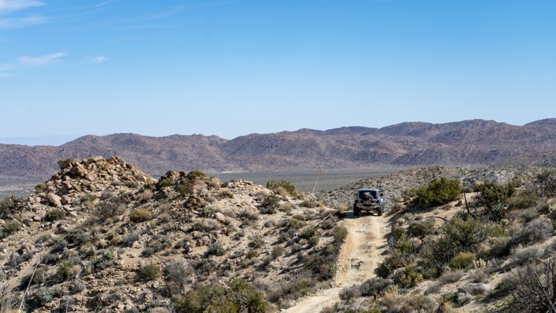
Hapaha Flat Road
Ocotillo, California
Hapaha Flats in Anza-Borrego Desert State Park is a real treat. Rarely traveled due to its location within the park, the trail has that "away from it all" solitude. The four-wheel drive road rolls through the desert surrounded by Ocotillo, Desert Willow, and Agave in the land once home to the Kumeyaay, also known as the Tipai-lpai, a Native American tribe. They hunted and gathered in the area in the spring and winter months. The pictographs and morteros in the area tell their story of how they were one with the land. Plan for a full day of adventure for this one, as you must drive Fish Creek out and back or take Pinyon Mountain Road.
Updated: 05/31/2024
Coyote Canyon Road
Borrego Springs, California
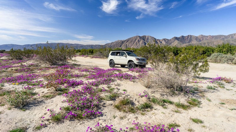
Coyote Canyon Road is a popular trail on the west side of Anza Borrego, known for its year-round water crossings. This oasis-like area of the desert is fun to travel through, especially in the spring during the desert flower blooms. The area directly around the trailhead is marked on State Park maps as a popular flower field with bright purple coloring the landscape. Be mindful of heavy foot traffic as visitors come to see the blooms, and respect management rules. During his overland exploration, Captain Juan Bautista De Anza named Coyote Canyon, where he camped in this area on March 14, 1774. In 1775, Anza led a colonizing expedition of 240 people and over 800 head of livestock from Tubac, Arizona, to modern-day San Francisco, California. Coyote Canyon Road closes at Waypoint 9 from June 1 to September 30 to preserve the watering opportunities for the Desert Bighorn Sheep.
Updated: 07/12/2024
2N58 Middle Fork Lytle Creek
Fontana, California
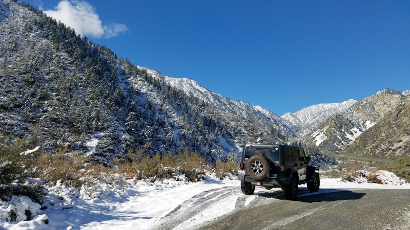
2N58 Middle Fork Lytle Creek is a forest road in the San Bernardino National Forest within the 200,000-acre Front Country Ranger District. The route follows alongside Middle Fork Lytle Creek for 2.8 miles through a narrow canyon formed by steep ridges rising 1500 feet on either side. At the road's end is the trailhead for 6W01 Middle Creek Trail, a 3-mile hiking trail reaching deep within the Cucamonga wilderness and connecting with a nexus of other trails spreading throughout the wilderness. Along the drive are several opportunities to pull over for short hikes to explore the actively flowing creek below. The steep ridges provide a beautiful backdrop for the drive, especially when snow-covered. Throughout the park, pets are allowed if kept on a leash.
Updated: 07/07/2024
3N06 Stockton Flats
Fontana, California
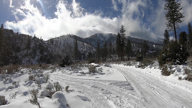
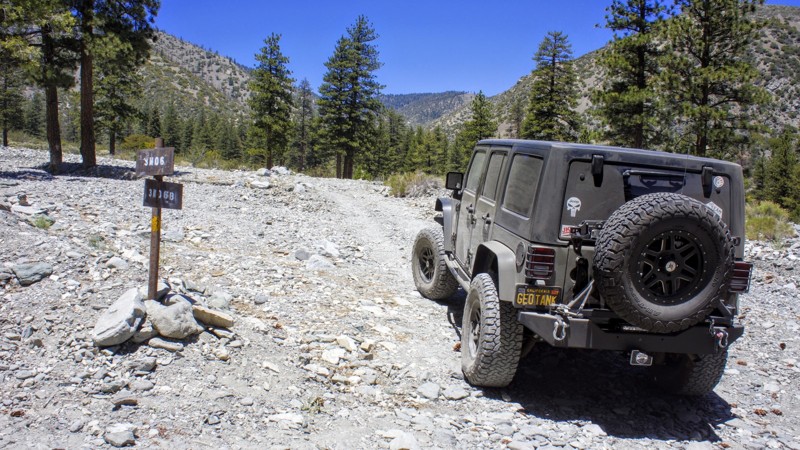
Stockton Flats is a short drive from the densely populated Inland Empire and takes you deep within the 200,000-acre Front Country Ranger District of the San Bernardino National Forest. The trail lies at the eastern-most extension of the San Gabriel Mountains. The trail offers a chance to leave civilization behind and see what this rugged country looked like 100 years ago. Only a few weeks of the year does snow stay around, bringing a quiet to the forest that is only interrupted by the occasional sagging tree branch dropping snow. Pets are welcome but must be kept on a leash.
Updated: 07/21/2026
Bee Canyon
Valle Vista, California
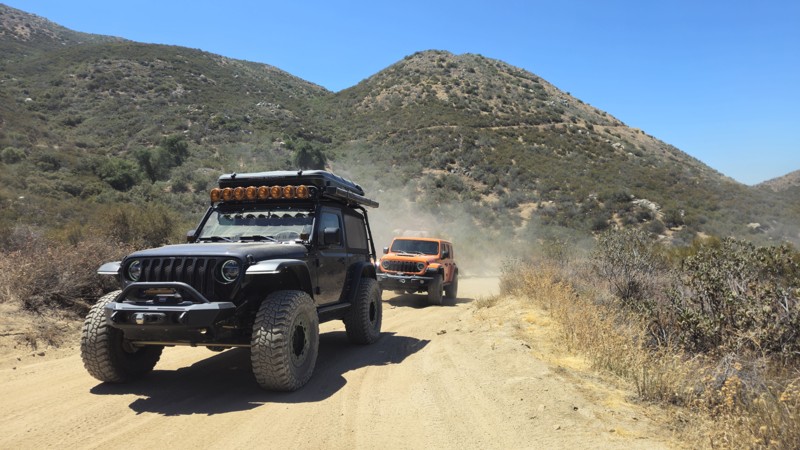
Bee Canyon offers a relaxing off-road experience that showcases the transition from sandy desert washes to the scenic chaparral-covered foothills of the San Jacinto Mountains. Along the route, visitors can enjoy sweeping mountain views, seasonal wildflowers, and a variety of native plants, including manzanita, scrub oak, yucca, and California sagebrush. The trail's gentle terrain makes it an excellent choice for beginners, while its peaceful setting offers a great opportunity to spot local wildlife, including mule deer, quail, hawks, and coyotes. Whether you're looking for a scenic drive, a family-friendly adventure, or a gateway to the surrounding San Bernardino National Forest trail system, Bee Canyon delivers a rewarding Southern California off-road experience.
Updated: 11/20/2024
3N06B Paiute Spur
Lytle Creek, California
3N06B Paiute Spur is a beautiful trail in the north fork of Lytle Creek which is in the San Bernardino National Forest. This trail, along with others nearby, is a camper's paradise with three designated Yellow Post sites, besides the unlimited dispersed camping sites available. You may see Deer, Big Horn Sheep, Mountain Lion, and the rest of the forest creatures that call these canyons home, so respect them. Come to Lytle Creek for a day run and picnic, or include your camping gear for a week or two.
Updated: 06/08/2024
4E03 - Espinosa Trail
Pine Valley, California
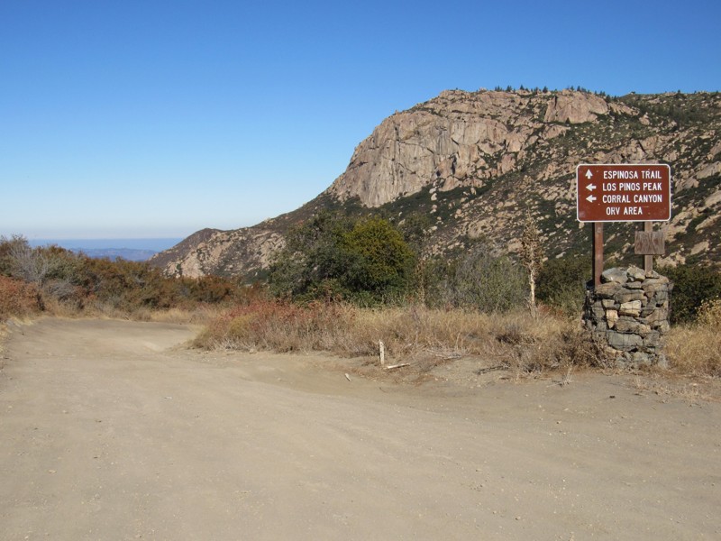
Espinosa Trail is a short, fun connector trail that forms an 18-mile loop in Cleveland National Forest. The trail travels along Espinosa Creek in the southern end of the Cleveland National Forest and is bordered by private land, Pine Creek Wilderness to the north and west, and Hauser Wilderness to the south. The trail runs between Los Pinos Road and Corte Madera Road and offers magnificent views of San Diego's own version of Half Dome, the immense Corte Madera Mountain at just over 4,600' of elevation. Corte Madera, Spanish for "to chop the wood," was a heavily logged area in the 18th century, providing much of the timber for the southern California missions. Approximately 4 miles south of the Espinosa Trailhead is Corral Canyon OHV Area, which offers up to 50 miles of OHV trails ranging from easy to very difficult. Along with this road, the 18-mile loop consists of the following additional roads and trails: 16S17 - Los Pinos Road 17S04 - Corral Canyon Road 4E03 - Corte Madera Road 17S06 - Skye Valley Road
Updated: 07/21/2026
Doran Canyon
Barstow, California
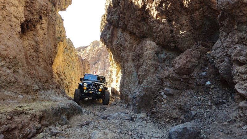
Doran Canyon is one of the most difficult rock crawling trails near Barstow, California, just outside Calico Ghost Town. The landscape here feels different from neighboring Odessa Canyon, with a rugged, raw desert environment that immediately sets the tone for a serious trail. While both canyons are similar in difficulty through much of their length, Doran has one defining feature that sets it apart: the legendary Doran Gatekeeper.
Doran’s Gatekeeper is an insanely difficult obstacle, stacked with boulders larger than most vehicles. The gaps between the rocks are so deep that it’s common to see rigs lean hard or lay onto their side while attempting to climb through. Watching extreme off-roaders take on this obstacle is a spectacle. Vehicles appear to disappear as the rocks seem to swallow them whole. It’s not unusual for a Jeep Wrangler or Toyota to drop into a hole, only to fight their way out with heavy body damage and trail scars to show for it.
And the challenge doesn’t end there. The rest of Doran Canyon is relentless, featuring large rock waterfalls, tight technical sections, and off-camber lines that demand careful tire placement. This is not a casual trail. Doran Canyon pushes both driver and vehicle to their limits and delivers one of the most intense rock crawling experiences in the Mojave.
Updated: 03/21/2025
Last Chance Canyon
Inyokern, California
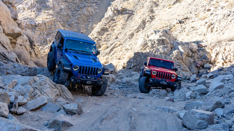
Located in the rugged El Paso Mountains within Red Rock Canyon State Park, Last Chance Canyon is a premier offroad destination known for its steep canyon walls, technical rock obstacles, and rich history. Just a few hours from Los Angeles, this challenging trail is a favorite among rock crawlers and adventure seekers looking to test their skills on its demanding terrain.
Beyond its offroading appeal, Last Chance Canyon is steeped in history. The surrounding region was once a hotspot for gold prospectors and miners, with remnants of the Dutch Cleanser Mine and the legendary Bonanza area still standing as a testament to California’s mining past. Notable pioneers like Walter Bickel and William “Burro” Schmidt left a lasting impact on the area, with Burro Schmidt’s famous tunnel still attracting curious explorers today.
Whether you're drawn by the thrill of the drive—including the infamous V-Notch obstacle—or the allure of the Old West, Last Chance Canyon offers an unforgettable journey through time and terrain. If you're looking for an epic offroad adventure near Los Angeles, this historic and scenic trail is your chance to experience the wild spirit of the California desert.
Updated: 06/02/2024
Brooklyn Mine - Joshua Tree
Joshua Tree, California
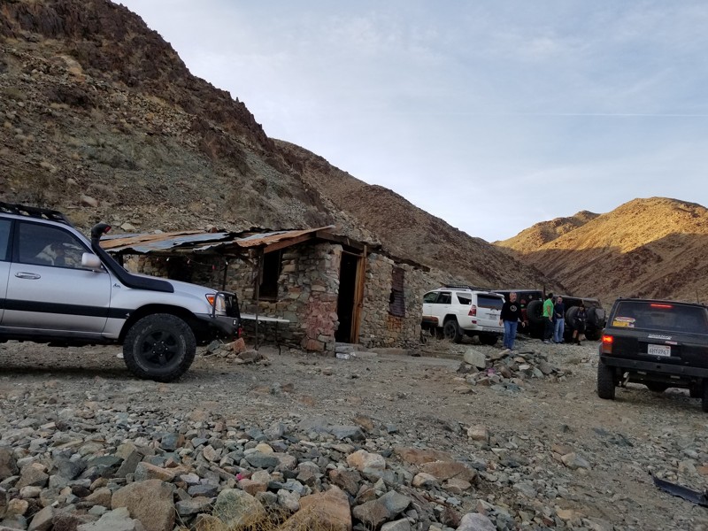
On the outskirts of the Joshua Tree National Park, near Twentynine Palms California, is a unique and exciting off-road trail that has exceptional features that are hard to find in the Southern California deserts. The Brooklyn Mine Trail starts off as a simple 2wd trail in the Joshua Tree National Park and heads to the north where it leaves the park entering BLM land. The trail turns from an easy dirt road to a thrilling intermediate rock crawling 4x4 trail which is ideal for all ranges of off-road enthusiast including beginners and advanced. Once in the BLM land, you will be immersed in an old mining community with surprisingly large amount of the old equipment still laying around for you to see and touch. But the old equipment isn't the only thing left behind, many of the old structures from the mining camp are still standing making these locations not only an amazing historical adventure but an overlanders paradise. That is because the trail has many remote locations perfect for dispersed camping that are unique and exclusive. So pack up your Jeep, get that rooftop tent on your Toyota, and prepare for an offroad adventure of a lifetime. That is because, the Brooklyn Mine Trail whether your first destination or you are out exploring the area after a Berdoo Canyon trip, just might be one of the best-kept secrets of Joshua Tree National Park.
Updated: 11/18/2023
2N08 - Knickerbocker
Big Bear Lake, California
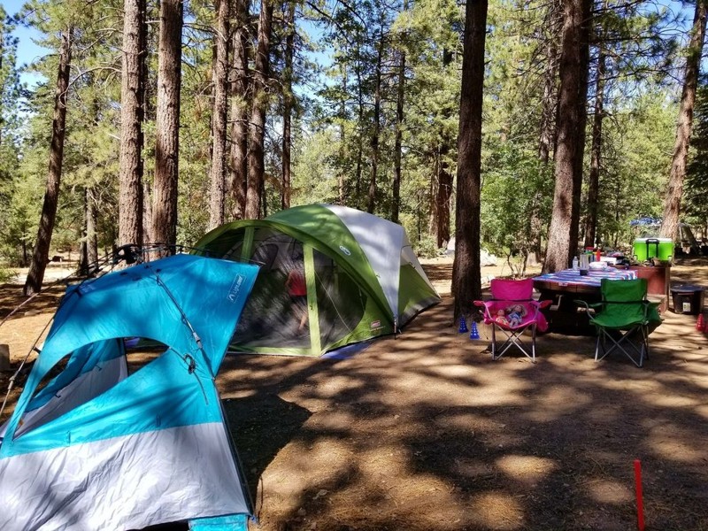
2N08 - Knickerbocker, south of Big Bear Lake, is one of many Forestry Trails in the San Bernardino National Forest. The trailhead is literally in walking distance from the Village in Big Bear. This trail is easy, as are all of the trails on the south side of the lake. The views to the north, including Big Bear Lake, Holcomb Valley, and Gold Mountain, are spectacular. The trail ends on 2N10 - Skyline, where you can go left or right to discover more trails. The trail is absolutely beautiful after the first snowfall, but don't delay, the Forest Service closes the trail as conditions warrant. The entire Big Bear Trail System includes many hiking and biking trails and they are well marked.

Updated: 04/10/2026
Goler Wash / Canyon
Furnace Creek, California
Goler Wash, also known as Goler Canyon, is an enjoyable off-road cut through over the Panamint Mountain Range from Ballarat near Trona to Death Valley National Park in California. The trial is popular for being the home of Barker Ranch, aka Manson Ranch. In 1969 the FBI raided the ranch when they found out the Manson Family was living there. But don't think this is an easy 4x4 pass through. The trail is known to get washed out making it a go-to place for a mild offroad trail to wild overland adventures. Along the route expect beautiful scenery of the canyons that seem to tower above you while the old mines placed up on the side of the cliffs seem to have no way for people to ever access them. If the trail is washed out, expect an intermediate waterfall that is slick with running water on over it. Today, the park service spends a lot of time maintaining this trail, trying to keep the trail easily passable for even a 2wd. To spice things up, make this into a weekend overland adventure including off-roading Warm Springs Road, Butte Valley, Mengel Pass, and Goler Wash. This just might be the best 4wd Jeep Trails you have or will ever take and the dispersed camping is top notch.
Updated: 01/13/2024
Vallecito Creek Road
Julian, California
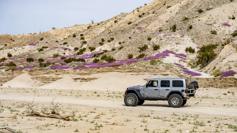
Man has traveled this road for thousands of years, making it an ancient offroad trail in Anza-Borrego Desert State Park. Vallecito Creek Road was part of the Southern Overland Trail. Today it provides an immersive offroad experience of the lower desert along the southern edge of the Carizzo Badlands. Seasonally the area can be Hades or can be Heaven. The heavenly part is that the air is filled with aromatic Desert Sand Verbena and Desert Gold paired with the dry, easy-to-breathe desert air. Wherever you look, the foreground is filled with a chaotic yet sensible composite of vibrant colors against a backdrop of dystopian badlands, all of which are everlastingly watched over by the imposing Vallecito Mountains. The road is a destination and connects to several other routes, making it the perfect pairing for your Anza-Borrego overland trip!

Updated: 09/24/2024
Mengel Pass
Ballarat, California
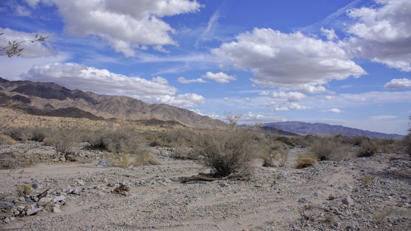
Mengel Pass is a popular trail within Death Valley National Park as it connects Panamint Valley on the west end of Death Valley to beautiful Butte Valley on the east side. Along the trail are an overlook of Butte Valley and Striped Butte plus the gravesite of Carl Mengel, a historic prospector from the early 20th century. The trail is no easy feat with its constant changing terrain and difficulty. Some days the trail is a mild path while other days, it can damage any vehicle that attempts the crossing. Due to the changing landscape of the obstacles, Mengel Pass is a fun and challenging run for all comers!
Updated: 05/25/2024
Pinkham Canyon
Desert Center, California
To some, Joshua Tree National Park is only a desert. It is actually two deserts, the higher elevation Mojave and the lower elevation Colorado. The result is amazing desert flora, rock formations and those wacky namesake trees (actually a type of yucca). Joshua Tree’s beauty shines around the clock, with vibrant sunsets melting into nights filled with uncountable stars. Joshua Tree National Park encompasses almost 800,000 acres, larger than Rhode Island. The Park offers hiking, photography, horseback riding, rock climbing, and camping, to name a few activities. Most 4x4 off-roaders love the Park for its trails. Almost all of the trails have a Gold or Silver Mine associated with them. Pinkham Canyons attraction is the Snow Cloud Mine, watch for Waypoint 4 for the trailhead to the north. So enjoy, and explore with safety.
Updated: 02/24/2024
Anza Borrego Metal Sculptures
Borrego Springs, California
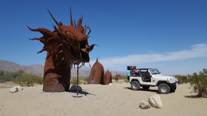
Perhaps one of the most unique and talked about features of Anza Borrego isn't the natural beauty but rather the man-made art. In the low desert, a small city named Borrego Springs features some of the most amazing sculptures in North America. Comprised of steel, these sculptures of modern animals, prehistoric dinosaurs, and mythical creatures lace the desert like hidden gems to be found.
These sculptures are an amazing mix of craftsmanship, design, and location. The desert background almost makes them look like they are walking next to you.
Thus when in the area, explore the desert and let us know what you find. And by all means, please tell us which one is your favorite. Is it the Jeep, Sea Serpent, Phoenix, T-Rex, or something different? There are over a 130 different sculptures in the desert. We can't wait to hear from you soon and see your photos.
Updated: 06/04/2026
Del Sur Ridge
Las Cantilles, California
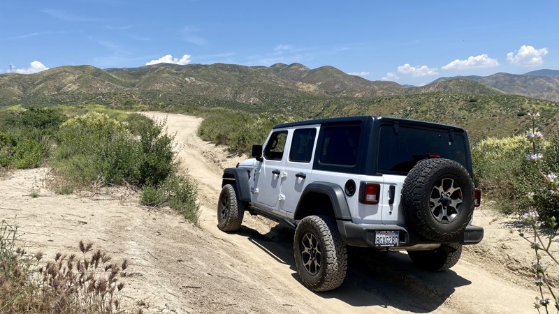
Del Sur Ridge, located in the Angeles National Forest near Santa Clarita is rough dirt and gravel with several washed-out areas. The main trail is fairly easy and can be done in 2WD. High clearance is recommended on account of the washed-out sections, which often change drastically after rains.
There are several moderately challenging optional offshoots that require 4WD. The offshoots all lead back to the main trail, which makes this a good trail for both beginner and intermediate skill levels that might be traveling together. With a max elevation of 3,600 feet, it’s worth using the frequent turnouts to admire the views of the surrounding hills and valleys.
While you can run Del Sur Ridge out and back, most people use 6N19 as a loop back to Bouquet Canyon, the main road. Del Sur Ridge ends at a locked gate. The trail's end does have nice views of Bouquet Reservoir.
There is no camping on the trail.
Updated: 11/24/2022
Swamp Lake
Shaver Lake, California
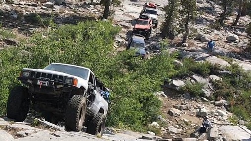
With the trailhead starting at just under 7400 feet, the Swamp Lake Trail has some of the best scenery the Sierra National Forest has to offer. From gravel, dirt, silt, boulders, granite faces, steep climbs and descents, this trail will throw everything at you within the first couple of miles. In the middle of the trail is Swamp Lake. This large, clear lake offers camping and fishing at its finest. Even during holiday weekends, the remote location ensures that the number of campers is minimal. If you are looking for some challenging off-roading and some quiet down time, Swamp Lake should be at the top of your To-Do-List. This could possibly be the most fun trail you ever do.

Upgrade your Membership
Unlock all of the details on every Trail Guide and Scout Route.
Start a 7-day Free TrialCommunity
Partners

