



By clicking "ACCEPT", you agree to be the terms and conditions of each policy linked to above. You also agree to the storing of cookies on your device to facilitate the operation and functionality of our site, enhance and customize your user experience, and to analyze how our site is used.
California Off-Road Trails
414
Total Trail Guides 391

4102
Detailed Waypoints 523
Try a Free 7-Day Trial and unlock it all
Start a Free Trial Most Recent Trail Reviews
Rated 5/5
Open
Visited: 09/19/2026
Great beginner trail here for those looking to try out some rockier sections. Starting to trend a little closer to a rating of 4, but still a 3 I’d say

R
Rob
Rated 5/5
Open
Visited: 09/19/2026
I entered this trail from Freeway Ridge 4WD trail (31E77) and ran Black Gulch Jeep Trail up to Rancheria Road, turned around, and ran Black Gulch Jeep Trail all the way down to Keyesville Road in Lake...



Daniel Macioce
Rated 4/5
Open
Visited: 09/19/2026
Took out the vstrom 800de today and this thing was tough for someone like me who is pretty new to offroading motorcycles. I ended up turning around about half way because I wasn't sure if I would be a...
SK
sean kotrola
No Rating
Open
Visited: 09/19/2026
The trial marked by the app here is very difficult with all the recent deep washouts. Proceed at your own risk if you are by yourself with unmodified rigs. However the bypass is maintained and should ...
TB
Timmy Boby
Rated 5/5
Open
Visited: 09/18/2026
Very friendly fire watch tower volunteers and fantastic 360 degree views up top
R
Rob
Rated 5/5
Open
Visited: 09/18/2026
Great views and an easy drive through. Be sure to take the road up to the fire watch tower
R
Rob
Rated 5/5
Open
Visited: 09/17/2026
ran the trail twice last weekend, this is such a better way to go than 3n16...


Josh Noesser
Official Crew
Rated 5/5
Open
Visited: 09/16/2026
It's been 6 years since I visited this trail. It has seen some wear, but the overall difficulty is about the same, probably a bit higher now, as Waypoint 11 has suffered from traffic. Waypoint 11 ha...

Robert
Official Crew
Rated 5/5
Open
Visited: 09/16/2026
Started off from polique canyon at way point 13 and headed east. Its a great trail for most of it with scenic views. A good amount mud puddles that were fun as hell to drive through. Some I decided to...


VM
Victor Manuel Garcia
Rated 5/5
Open
Visited: 09/16/2026
Used this trail to get to Holcomb valley. Super easy and a nice drive, I can see how in the winter it can be a bit more challenging with rain and snow.
VM
Victor Manuel Garcia
No Rating
Open
Visited: 09/16/2026
Mostly easy, but heading NE there's a rock step down just a few miles in that *requires* high clearance. Banged the rear end of my 4runner despite having a 3" lift and 33" tires. A stock SUV would alm...



Carlos H.
Rated 5/5
Open
Visited: 09/14/2026
A fun little detour off Burns Canyon. I ran this alone and stopped a few times to spot; I also used my grill camera in several places. I brushed my sliders a couple times, but no real issues. Definite...
EB
Ed Boyd
Rated 5/5
Open
Visited: 09/13/2026
easy perfect beginner off roader trail with great views and water crossing during the winter.



Dex Offroad
Rated 5/5
Open
Visited: 09/11/2026
super easy trail over looking the valley and 15fwy. only bad thing is that its super windy.

Dex Offroad
No Rating
Partially Open
Visited: 09/09/2026
Although you can cross the creek from Fordyce if you want, Committee Road is still closed back to the I80, so this has no exit, and you'll be forced back onto Fordyce.

Ryan Boudreau
Official Crew
No Rating
Temporary Closure
Visited: 09/09/2026
Road is still closed. I thought i read somewhere an expected 2030 opening, but can't confirm that info.
Ryan Boudreau
Official Crew
Rated 5/5
Open
Visited: 09/09/2026
This is an awesome trail . This trail is moderate with a few obstacles to make it fun. It also has incredible scenic views with a little bit of shelf roads. You can watch the full video on my YouTube ...


Dex Offroad
Rated 5/5
Open
Visited: 09/07/2026
Pretty spot on with the rating, was a little tough today with the rain but made it through in my 2023 Gladiator Overland with 2.5” lift and 35s with autolynx sway disconnects.


CT
Christopher Tanton

Shaan Heugly
Rated 5/5
Open
Visited: 09/06/2026
Drove reverse from what’s listed to the jasper trail. This is a easy but enjoyable trail with plenty of places to camp at the end of the
Shaan Heugly
Rated 5/5
Open
Visited: 09/06/2026
Bit washed near the top but nothing difficult to navigate. I headed from jasper to the highway and near the highway it did narrow. I got through with my Tacoma but there are a few pinch points I could...
Shaan Heugly
Rated 5/5
Open
Visited: 09/06/2026
Mostly easy trail but when going south to north, I did need to use 4Lo on some of the inclines with a loaded Tacoma
Shaan Heugly
Rated 4/5
Open
Visited: 09/05/2026
It had been five years since I last drove this trail. The long, annoying stretches of moguls are still there, and water erosion has added a touch more difficulty in places. It was nice to see the old ...


Robert
Official Crew
Rated 4/5
Open
Visited: 09/05/2026
This is a nice trail with great views for any 4WD with ground clearance as some sections have ruts that are 12+ inches deep. Things were very dry on my visit, so airing down the tires helped to smooth...


SG
Steve Graham
Rated 3/5
Open
Visited: 09/05/2026
From waypoint 7 to 10 the water damage is pretty bad. Waypoint 13-16 it is rocky. Nothing crazy but a few spots where patience and the right line will go a long way. Good clearance and 4x4 recommended
N
Noah
Rated 5/5
Open
Visited: 09/05/2026
Easy trail with an awesome view at the end. There were three lookouts in the fire tower and each one was super friendly and informative. Must see trail!


N
Noah
Rated 5/5
Open
Visited: 09/05/2026
fun easy trail, Butler Peak lookout is the highlight imo
N
Noah
Rated 5/5
Open
Visited: 09/04/2026
Trail was very well maintained. Thanks for the Fresno 4x4 club. It was very cold at night, into the 30s. We were on the trail two nights, 3 days and two nights at voyager rock due to a breakdown fr...
JD
John Drago
No Rating
Open
Visited: 09/04/2026
Beautiful area, but the trail itself wasn’t very interesting. I’d rate it around a 3/10, with a couple of optional sections that might push a 4.
There’s tons of dispersed camping throughout the area,...


Ryan Smith
Rated 5/5
Open
Visited: 09/01/2026
awesome trail with a lot of water crossings. just be careful of sxs and bikes since its a OHV area.

Dex Offroad
Rated 5/5
Open
Visited: 09/01/2026
Super easy trail and you can over look the high desert. Trail ends at an awesome view point.

Dex Offroad
Dex Offroad
Rated 5/5
Open
Visited: 08/31/2026
This trail is much harder than it used to be. It’s just as breathtakingly beautiful as ever. You are on your own out there. Fuel, parts, spare tire. It’s days from help if you need it so go prepared. ...

CP
Christopher Pepin
No Rating
Open
Visited: 08/30/2026
Ran this trail today and had fun. Easy trail with great views. I wouldn’t hesitate to take an experienced driver in a stock jeep up this. There are lots of trails in this area and way to get off the m...

CP
Christopher Pepin
No Rating
Open
Visited: 08/29/2026
Trail was in good shape, a little less sand makes the boulders a little bigger. People have made the bypass around the sluice a little bit longer than it used to be you miss a lot of the good rocks. O...
C
Campbell
Rated 5/5
Open
Visited: 08/29/2026
An often overlooked and amazing trail. It’s about the length and difficulty of the rubicon if you don’t hit any of the bypasses on the rubicon. We had a group of 3 lj on 40s, a jku on 42s, and an Xj o...
CP
Christopher Pepin
Rated 4/5
Open
Visited: 08/27/2026
This is most definitely a hard trail. Is the entire thing hard? Not at all. The western 7 miles are a hard packed dirt road. Then you run into 3 straight, large boulder obstacles where its clear many ...


Ryan Boudreau
Official Crew
Rated 4/5
Open
Visited: 08/27/2026
Easy drive with beautiful views and . . . Buck Rock! Lots of camping south of Buck Rock, but camping north of the Rock isn't as plentiful. There are a few others on the north, but there's one here: 36...


Carlos H.
Rated 5/5
Open
Visited: 08/26/2026
I really enjoyed this road. It's super scenic with the sierra's in the background, the white beaches, and the columns are really cool. The road is not anything challenging with a high clearance vehicl...


Ryan Boudreau
Official Crew
Rated 4/5
Open
Visited: 08/25/2026
Fun area. The hot springs are pretty popular and well-known, and because they are small, you'd better hope you are one of the first people there that day if you want to get in. The route is easy, exce...


Ryan Boudreau
Official Crew
Rated 4/5
Open
Visited: 08/25/2026
I liked this trail a lot, but it's not quite a 5-star trail for me. I feel like it's a little overhyped. Is it scenic? Absolutely! Is there tons of great camping? Totally! Is it a crazy busy? You Bet!...


Ryan Boudreau
Official Crew
Rated 4/5
Open
Visited: 08/25/2026
Road to the hot springs parking area is easy. There are regular passenger cars there. The hike is easy too. The tub itself is super scenic, but know that they are not hidden gems by any means and we'l...

Ryan Boudreau
Official Crew
Rated 3/5
Open
Visited: 08/25/2026
It's a simple road, but definitely very scenic and really only used to get from Convict to Laurel Lakes or Mammoth. Road is suitable for anything with decent ground clearance.


Ryan Boudreau
Official Crew
Rated 2/5
Open
Visited: 08/25/2026
Simple dirt road used to access other types of recreation. Many signs remind you that you aren't allowed to camp along it except at the campground.


Ryan Boudreau
Official Crew
Rated 3/5
Open
Visited: 08/23/2026
Simple, straightforward dirt road used for fishing access.


Ryan Boudreau
Official Crew
Rated 5/5
Open
Visited: 08/23/2026
Amazing views at the top of this trail. Erosion looks to be making this trail harder than it probably originally was. Most of the hardest spots are getting bypasses created around them. A short, st...



Dan Jurgella
Rated 5/5
Open
Visited: 08/23/2026
Toad Lake Road 40N64 was a long, slow, and wonderfully remote drive into the Trinity Divide. The changing mix of old pavement, dirt, loose rock and deep ruts kept the journey interesting, while forest...



Rose Meirs
Official Crew
Rated 5/5
Open
Visited: 08/23/2026
North Fork 41N53 was a fun backcountry drive through the forest west of Mount Shasta. Early in the trip, a wrecked motorhome beside the road provides unforgettable confirmation that you are on the rig...


Rose Meirs
Official Crew
No Rating
Partially Open
Visited: 08/23/2026
The trail is still only partially open. I drove it from Old Mill Road to the closed gate. Once I was at the gate, I took the connecting trail back into Big Bear Village.
For exact trail names and n...

John Mantey
Rated 3/5
Open
Visited: 08/22/2026
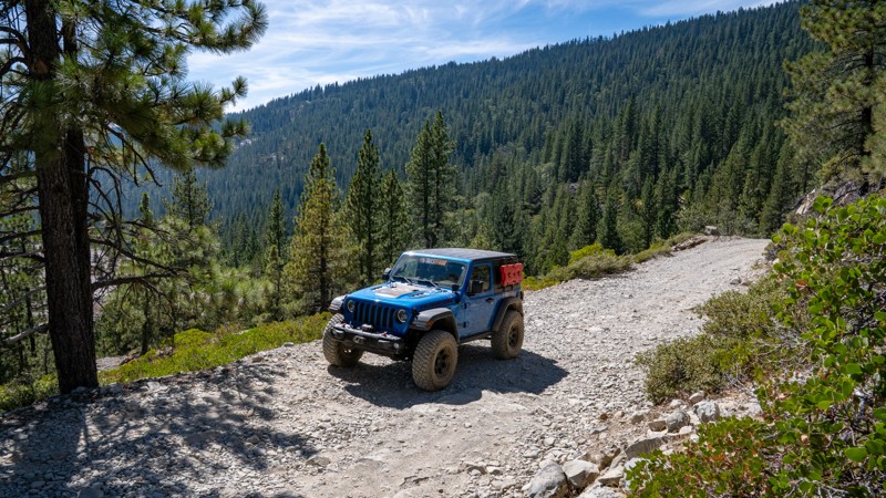
Nothing really special about the road. It's easy and gets progressively rockier the closer to the lake you get, but it's not challenging, and you will see plenty of small SUVs and crossovers along the...
Ryan Boudreau
Official Crew
Most Popular
Updated: 04/10/2026
5S09 - San Jacinto Ridge
Idyllwild-Pine Cove, California
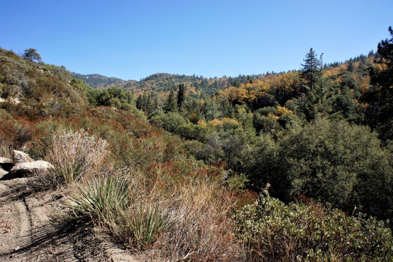
5S09 - San Jacinto Ridge is in the San Bernardino National Forest. It is a beautiful 10 mile forestry truck trail on the western slope of the San Jacinto Mountains near Idyllwild. The nearly 3000 foot elevation change provides a wide variety of flora and fauna to enjoy, from the desert scrub to the pine forests, the ground squirrels to the tree squirrels, deer and more! The North Fork of the San Jacinto River crosses this truck trail and is a perfect spot for a picnic. Only in Southern California can one go off-roading in the mountains and surf at the local beaches in the same day.
Updated: 10/11/2024
Coyote Valley Road
Bishop, California
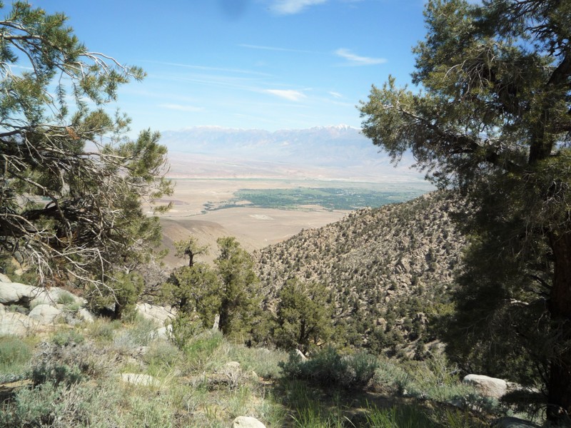
From the high desert to the alpine zone of the Inyo National Forest, Coyote Valley Road - 7S10 is one of the most diverse trails you will find. The trail starts on a dirt road which makes its way up through a desert canyon. At the end of the canyon the road starts an ascent for the next six miles. Between the thick pinion pines some of the best views of Bishop and the Round Valley can be found as you climb. As the trail starts to level out, you find yourself at the start of Coyote Flats. Here you can find creeks and sporadic groves of aspens and pine trees. Additional trails, hiking, fishing and dispersed camping can all be found up here. Some trails go as high as 11,000 ft, so this is a great place to visit in the summer.

Updated: 06/01/2024
7N17 - Slick Rock Road
Open
/
Bear Valley, California/
5.95 miles/
About 3 hours
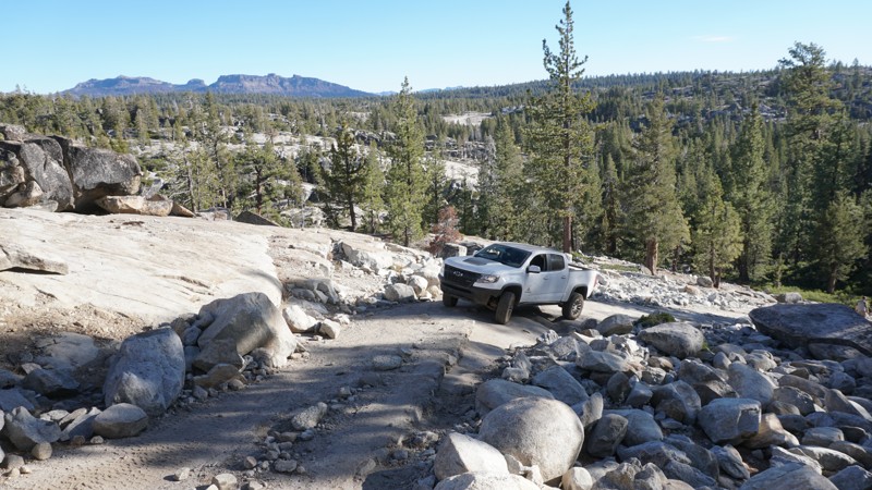
High in the Stanislaus National Forest near Bear Valley is one of California's great 4x4 rock crawling trails, Slick Rock Road.
Numerous camping opportunities, beautiful mountain views, two reservoirs, a lake, creeks and plenty of challenging rock obstacles make up Slick Rock Road and the surrounding area.
A re-route near the north end of the trail in 2018 has added to the challenge of this trail by introducing two new obstacles ( See Waypoints 25 and 26 ). With the addition of these obstacles, what was once a mildly challenging rock crawling trail is now a borderline extreme trail. While the southern section of this trail can still be enjoyed by most 4x4 vehicles, more experienced wheelers in built rigs will appreciate the new obstacles near the trails north end.

Updated: 03/18/2023
Knoxville Devilhead Road
Open
/
Lower Lake, California/
5.33 miles/
About 30 minutes
Knoxville Devilhead Road is the southern entrance into the Knoxville Recreation Area in Napa County, CA. If traveling in from Lake Berryessa, 30+ miles of the roughly paved, bumpy, narrow Berryessa Knoxville Road will make this soft dirt trailhead a welcome relief. This road offers access to other trails in the Knoxville recreation area including Hunting Creek Road, Cement Creek Road and Adams Ridge (currently closed for burn rehabilitation). The entire Knoxville Recreation Area spans from Napa County into Lake County, however this trail is contained within the Napa County borders. The network of trails in this area include scenic mountain views, lush forrest landscapes and multiple creek crossings.
Updated: 02/01/2024
3N49 BP&L
Fontana, California
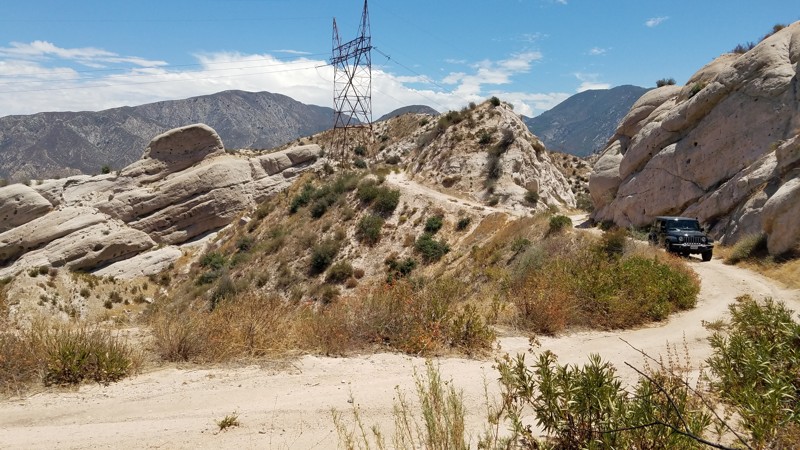
3N49 BP&L is in the 823,000-acre San Bernardino National Forest north of Lytle Creek. Before it was a forest road, BP&L, or Burea of Power and Lights, provided access to the power line towers which still line the trail. The trail takes you through the Mormon Rocks, also called the Rock Candy Mountains, and offers stunning up-close views of nature's art. These striking sandstone formations are the remnants of ancient oceans heaved up at an angle over the millennia, revealing a beautiful sandstone landscape you can drive through. Also are stunning views to the east of the Cajon Mountains and below the Cajon Pass and Cajon Wash.
Updated: 05/21/2024
Latrobe Road
El Dorado Hills, California
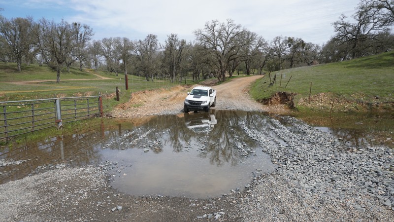
Tucked away along the edge of El Dorado and Sacramento Counties, Latrobe Road offers a quick diversion from the pavement. Scenic views include sweeping vistas of the foothills combined with blue oak tree groves, a seasonal creek, and the potential to see various avian species such as hawks and falcons. Latrobe Road is a fun little road and makes for a great start or end to spending some time at the nearby Prairie City State Vehicular Recreation Area.
Updated: 06/30/2024
Laurel Lakes Road
Mammoth Lakes, California
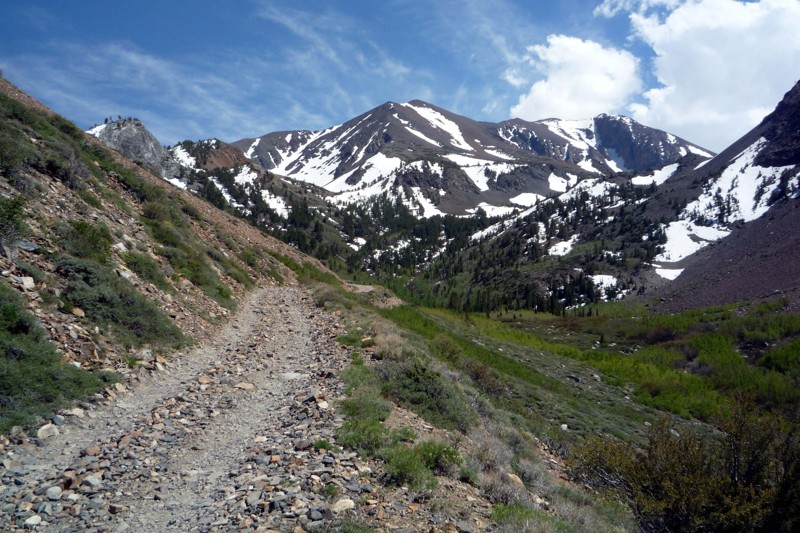
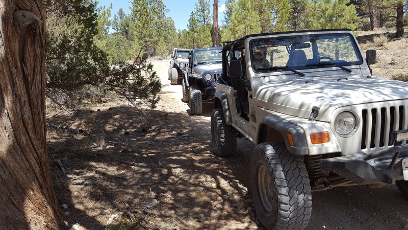
Laurel Lakes Road is a great scenic trail just outside the town of Mammoth Lakes in the Eastern High Sierras. The narrow five mile road has lots of places to turn out and pass. Starting at 7,300 feet and ending just over 10,000 feet, this trail has snow capped mountains, aspen groves, creeks and a back country lake. With so many sights in front of you, it easy to miss the great views from behind as you leave the valley floor.
Updated: 07/08/2024
3N08 - Holcomb Creek Road
Big Bear Lake, California
3N08 is the perfect trail for the new and moderately experienced off-road enthusiast in the forest of Big Bear, CA. The trail provides plenty of dense forest scenery and some 4x4 challenges. The most notable obstacle on the trail is a rocky hill climb on the east end of the trail. This hill climb is a 40 degree climb with several moderate sized rocks and ledges. At roughly 30 feet long, the hill climb is just big enough to get the heart pumping and for you to second guess your line of attack.

Updated: 05/23/2024
Odessa Canyon
Open
/
Barstow, California/
2.1 miles/
About 3 hours
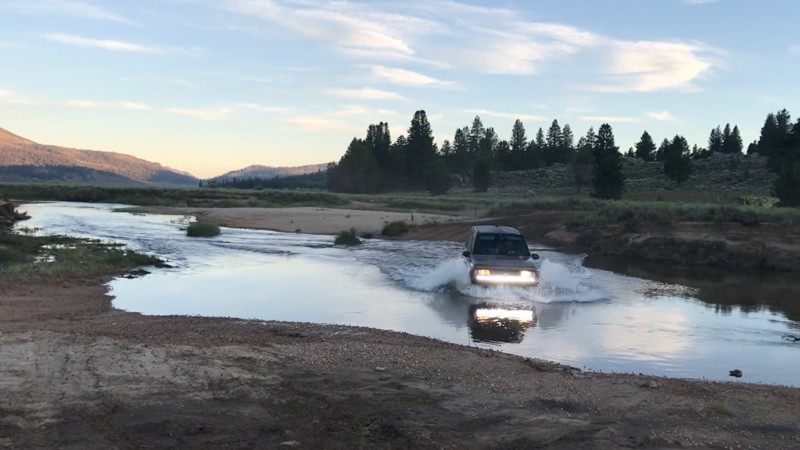
Odessa Canyon is the flagship of offroad trails in the Calico area near Barstow, California. Comprised of many challenging obstacles with no bypasses, this extreme 4x4 jeep trail makes you earn your trip to the top. Odessa also provides great views of the area. But be ready. This trail has a 7-foot waterfall, an extremely narrow rollover spot you must see to believe, and a super tight off-camber canyon. With all these challenges, don't be surprised if the trail wreaks havoc on your vehicle.

Updated: 09/09/2026
Monache Meadows
Kennedy Meadows, California
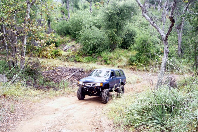
Easy for an experienced wheeler but, maybe, difficult for a first-time offroader, Monache Meadows is a beautiful outdoor playground high in the mountains of the Sequoia and Inyo National Forests. The wide-open meadows, sand dunes, multiple water crossings over the south fork of the Kern River, and remote outdoor camping locations make Monache Meadows, also known as Kennedy Meadows, a unique overland destination.
Updated: 12/22/2023
Lusardi Truck Trail
Ramona, California
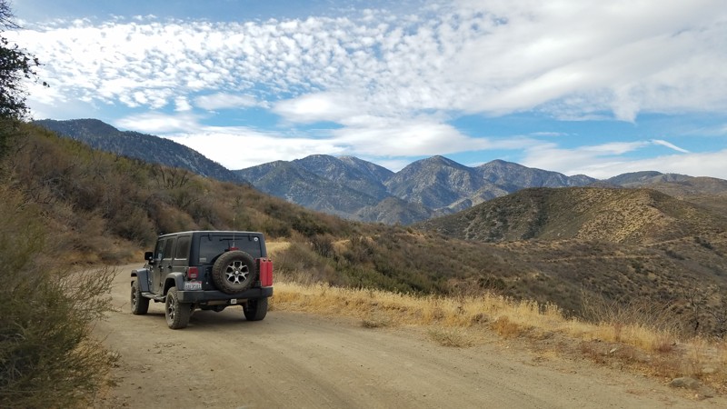
Lusardi Truck Trail is a great in and out trail that packs a lot of different scenery in a short amount of time. It is an easy drive for most stock trucks and there are lots of places to pass. There are few obstacles to navigate since it appears that the forestry department keeps this trail clear and graded.
Updated: 07/12/2024
3N31Y - Upper Lytle Creek Divide
Fontana, California
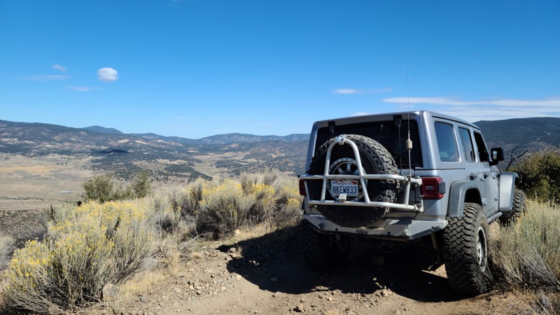
3N31Y Upper Lytle Creek Divide lies entirely within the San Bernardino National Forest and straddles the Upper Lytle Creek Ridge, offering east and west views. Many locations along the way offer views of the foot-worn Pacific Crest Trail, which closely parallels the road and intersects at the road's highest elevation near Gobbler's Knob.
Upper Lytle Creek Divide offers a pleasant escape from the metropolis with views of the majestic San Gabrial Mountains to the west and the Cajon Pass to the east. There are beautiful vistas all along the way, dominated in the west by the 10,000' granite top of Mt San Antonio and the 9500 feet peak of Mt. Harwood, while below can be seen the jumbled boulders that make up Lytle Creek. To the east is an expansive view of Cajon Pass hosting Interstate 15, bolstered by the 5400' Cajon Mountain Range.
The road is well maintained, excellent for novice off-roaders looking to get their wheels dirty, and, with the views, a perfect road for all driving skill levels. Your dog can also enjoy the trail when kept on a leash.
Updated: 05/06/2026
Lockwood Creek Trail
Lake of the Woods, California
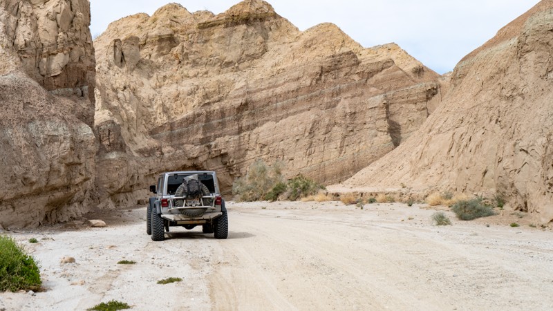
Lockwood Creek Trail delivers a full day of classic Southern California mountain wheeling from the very first mile. The route launches you straight into the backcountry with a creek crossing, sustained climbs, and sweeping views of the Los Padres National Forest that only get better as you gain elevation. This is the kind of trail that feels adventurous from start to finish, combining steady technical driving with dramatic ridgeline exposure and wide open scenery. Making that perfect mix of challenge and scenery that makes a trail memorable.
Adding to the character of the trail is its unique history. Originally part of the historic Miller Jeep Trail, Lockwood Creek Trail was rerouted in the early 2000s. The original alignment once followed Lockwood Creek all the way to what is now marked as Miller Jeep Trail. Over time, trail signs were quietly updated, which still sparks friendly debates among off-roaders about which trail they are actually on. No matter what you call it, Lockwood Creek Trail offers an exciting, scenic, and rewarding mountain off-road experience.
Updated: 04/06/2024
Arroyo Seco Del Diablo
Julian, California
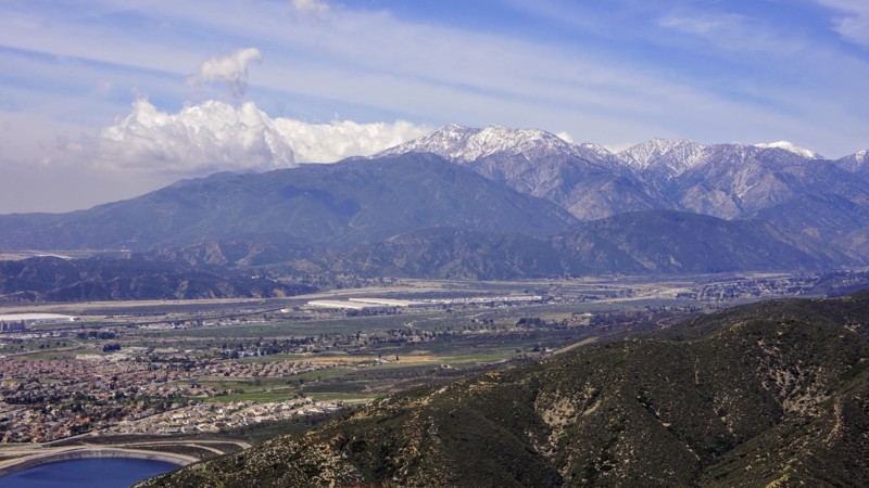
Arroyo Seco Del Diablo cuts right through the Carrizo Badlands. The walls of mud and rock change with every whisp of wind, raindrop, and earth shift, causing the canyon to change constantly. The trail is a unique and new experience every time you drive it. Combine this with Arroyo Tapiado or Diablo Drop Off for an entire weekend of overlanding in Anza-Borrego Desert State Park.
Updated: 04/07/2024
2N40 - Cloudland Truck Trail
Crestline, California
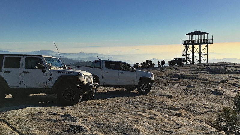
2N40 Cloudland Truck Trail is on the south-facing slopes below the community of Crestline in the San Bernardino National Forest. It is an ideal trail for the new 4x4 off-road wheeler due to no obstacles and moderate length. The views of the Inland Empire are fantastic where you can see from the Banning Pass and Mount San Jacinto to the east and Orange and Los Angeles counties to the west including the Pacific Ocean. The real highlight of the trail is on Marshall Peak where the paragliders and hang gliders launch. When conditions are good they can fly for hours on the thermals and eventually land 3,000 feet below near the California State University at San Bernardino.

Updated: 03/31/2024
Font's Point
Borrego Springs, California
Nicknamed California's Grand Canyon, Font's Point is one of the most popular destinations in the Anza-Borrego Desert State Park. The Point has incredible views of the iconic Borrego Badlands, a 15 by 20-mile topographical wonder. Font's Point looks down into the maze of hills and arroyos that makes up the badland. At one time, the badlands were all under a sea. Sunsets at Font's Point are famous and a must-do for those spending time in Anza-Borrego.
Updated: 06/21/2024
26E219 - Bald Mountain
Shaver Lake, California
This scenic 4x4 trail includes something for everyone with its numerous difficult lines that can be bypassed by those looking for an easier route.
At the peak of Bald Mountain and Hollywood Hill, you will find panoramic views of the surrounding mountains, Shaver Lake and the San Joaquin Valley. If the daytime views aren't enough for you, head to the tower at sunset and watch the sun fade into the night time lights of Fresno below.
26E219 - Bald Mountain is only one of many off-road trails in the Bald Mountain OHV area which sits just east of Shaver Lake in the Sierra National Forest.

Updated: 06/17/2024
Hungry Valley SVRA - Pronghorn Trail
Temporary Closure
/
Santa Clarita, California/
5.17 miles/
About an hour
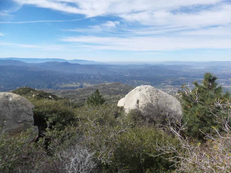
The Rock Wall Climb at Waypoint 2 makes Pronghorn Trail one of the harder and more popular trails in the Hungry Valley SVRA (State Vehicular Recreation Area).
Hungry Valley is just outside of the Gorman and Frazier Park mountain communities in Southern California. Over 130 miles of motorcycle, ATV and 4x4 trails spiderweb throughout this 19,000 acre park. The park's trails include hill climbs, sand washes, wide dirt trails, narrow off-camber shelf roads and a designated 4 wheel drive practice area.
Updated: 06/22/2024
4S21 - Indian Mountain
Idyllwild-Pine Cove, California
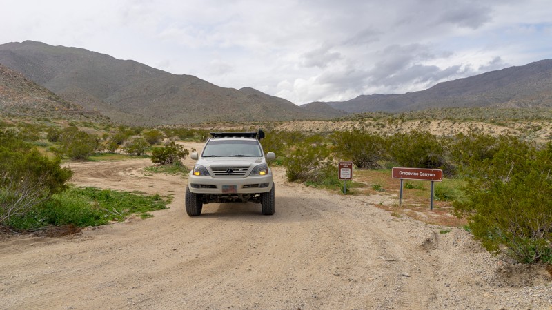
I selected this highlight photo from an earlier trip to Indian Mountain. Never living out of southern California I'm only familiar with this dry, arid, scrub brush and boulder type of scenery. I find it very beautiful. Diamond Valley Lake is off in the distance on the right. Because Idyllwild is close to me I manage to get into these mountains frequently. The southern last mile of this trail is rated a "Black Diamond" by the USFS and not to be missed.
Updated: 12/17/2024
Grapevine Canyon Road
Ranchita, California
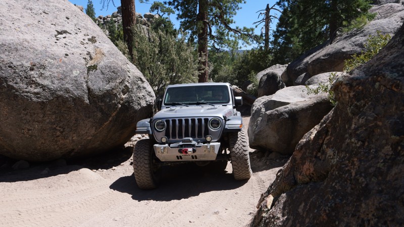
Grapevine Canyon was one of the historic routes into Borrego Valley before SR-78 was completed in the 1930's. Even before it was used as a horse and wagon trail by settlers and miners, Grapevine Canyon was home to the Kumeyaay Indians, and their artifacts can still be found in the area. Today, Grapevine Canyon provides a fun off-road trail either on its own or as a leg of an overland expedition through the desert Southwest. The trail also serves as a grand entrance route into Anza-Borrego Desert State Park, starting from S-22 outside Anza-Borrego and descending into the heart of the park near Tamarisk Grove Campground. A smattering of historic sites dot the trail, including Yaqui Well, a historic year-round seep that native peoples and desert travelers have used for centuries. The area around Yaqui Well is also known for attracting numerous and diverse bird species, making it an excellent spot for bird watching.
Updated: 07/21/2025
The Squeeze
Minnelusa, California
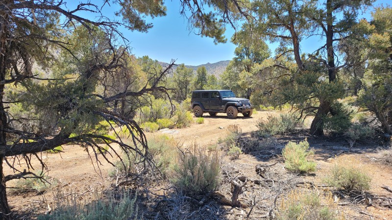
Tucked deep in the pine-covered hills of Holcomb Valley, The Squeeze Trail or 3N07A is a short but thrilling offroad adventure that combines rugged terrain, alpine beauty, and heart-pounding excitement. Twisting and winding beneath the jagged granite spires of the Big Bear Pinnacles, this route offers more than just a drive. It delivers a front-row seat to some of the most striking geology in the San Bernardino Mountains. These towering rock formations pierce the skyline, making the area a favorite for climbers and photographers chasing golden-hour light. The sense of wilderness here is real and raw, with sweeping views, thick tree cover, and a feeling of remoteness that adds to the adventure.
But the real showstopper is the trail’s namesake obstacle at Coyote Crag. Known simply as The Squeeze, this narrow rock corridor tests both your driving skills and your nerve. Threading your rig between two massive boulders with barely enough room to spare will get your pulse racing. One wrong move and you’re adding new trail scars to your rig. Fold in your mirrors, trust your spotter, and take a deep breath. This is the moment that makes the trail unforgettable.
Updated: 07/10/2024
3N03 - Smarts Ranch
Big Bear City, California
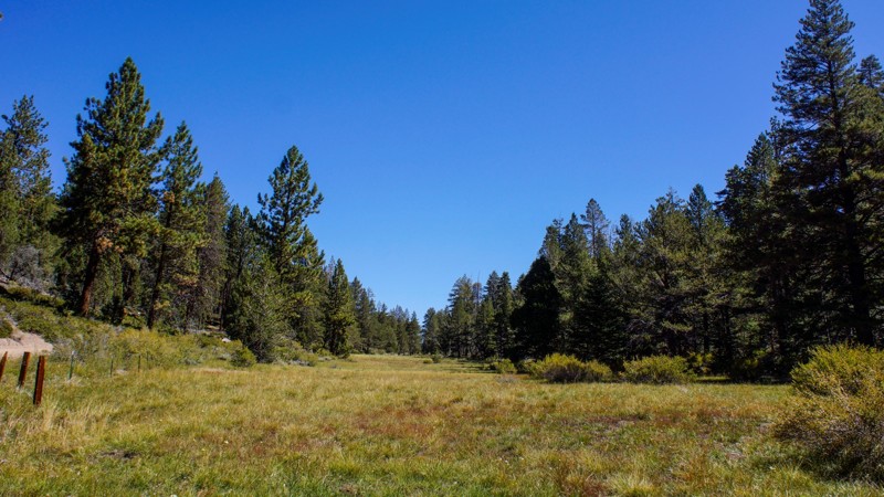
Smarts Ranch Road travels through an interesting mix of Pine and Joshua trees, providing several locations along the way for camping, hanging a hammock, or just pulling over into a clearing and enjoying the quiet forest solitude. The last three miles at the southeastern end of the trail provide a driving challenge over rough, exposed rock outcroppings for those wanting to test their offroad driving skills.
Updated: 06/07/2024
2N93 Wildhorse Meadow
Big Bear City, California
2N93 Wildhorse Meadow is in the beautiful San Bernardino National Forest, southeast of Big Bear Lake. This trail has designated camping, with two yellow post sites on 2N93F Wildhorse. Also on this trail is a designated shooting site at 2N93G Lightning Gulch. It's obvious where Wildhorse Meadow gets its name when you drive between Waypoints 7 and 10. The meadow is lush green, bordered by pine, oak, cedar, and elm. Bring your family, picnic lunch, and camera for a day of 4WD offroad fun.

Updated: 11/19/2024
Cougar Buttes
Lucerne Valley, California
Cougar Buttes is one of the great off-road areas of Southern California that has yet to be discovered by the main stream off-road community. Just minutes from Big Bear and Johnson Valley, this small area is easy to miss with its few rock pile hills, it almost looks like it could be someone's backyard. But don't let this fool you, Cougar Buttes has everything Johnson Valley has but in a much smaller and more accessible area. Everything from high speed sandy roads to some of the most extreme rock crawling and Jeeping in all of the United States. Whether you are into rock crawling, some 4x4'ing, pre-running dirt roads, overlanding, or simply just want to take a short vacation. Cougar Buttes should be your place on your next trip.

Upgrade your Membership
Unlock all of the details on every Trail Guide and Scout Route.
Start a 7-day Free TrialCommunity
Partners

