




By clicking "ACCEPT", you agree to be the terms and conditions of each policy linked to above. You also agree to the storing of cookies on your device to facilitate the operation and functionality of our site, enhance and customize your user experience, and to analyze how our site is used.
California Off-Road Trails
415
Total Trail Guides 392

4106
Detailed Waypoints 524
Try a Free 7-Day Trial and unlock it all
Start a Free Trial Most Recent Trail Reviews
Rated 5/5
Open
Visited: 09/19/2026
Great beginner trail here for those looking to try out some rockier sections. Starting to trend a little closer to a rating of 4, but still a 3 I’d say

R
Rob
Rated 5/5
Open
Visited: 09/19/2026
I entered this trail from Freeway Ridge 4WD trail (31E77) and ran Black Gulch Jeep Trail up to Rancheria Road, turned around, and ran Black Gulch Jeep Trail all the way down to Keyesville Road in Lake...



Daniel Macioce
Rated 4/5
Open
Visited: 09/19/2026
Took out the vstrom 800de today and this thing was tough for someone like me who is pretty new to offroading motorcycles. I ended up turning around about half way because I wasn't sure if I would be a...
SK
sean kotrola
No Rating
Open
Visited: 09/19/2026
The trial marked by the app here is very difficult with all the recent deep washouts. Proceed at your own risk if you are by yourself with unmodified rigs. However the bypass is maintained and should ...
TB
Timmy Boby
Rated 5/5
Open
Visited: 09/18/2026
Very friendly fire watch tower volunteers and fantastic 360 degree views up top
R
Rob
Rated 5/5
Open
Visited: 09/18/2026
Great views and an easy drive through. Be sure to take the road up to the fire watch tower
R
Rob
Rated 5/5
Open
Visited: 09/17/2026
ran the trail twice last weekend, this is such a better way to go than 3n16...


Josh Noesser
Official Crew
Rated 5/5
Open
Visited: 09/16/2026
It's been 6 years since I visited this trail. It has seen some wear, but the overall difficulty is about the same, probably a bit higher now, as Waypoint 11 has suffered from traffic. Waypoint 11 ha...

Robert
Official Crew
Rated 5/5
Open
Visited: 09/16/2026
Started off from polique canyon at way point 13 and headed east. Its a great trail for most of it with scenic views. A good amount mud puddles that were fun as hell to drive through. Some I decided to...


VM
Victor Manuel Garcia
Rated 5/5
Open
Visited: 09/16/2026
Used this trail to get to Holcomb valley. Super easy and a nice drive, I can see how in the winter it can be a bit more challenging with rain and snow.
VM
Victor Manuel Garcia
No Rating
Open
Visited: 09/16/2026
Mostly easy, but heading NE there's a rock step down just a few miles in that *requires* high clearance. Banged the rear end of my 4runner despite having a 3" lift and 33" tires. A stock SUV would alm...



Carlos H.
Rated 5/5
Open
Visited: 09/15/2026
It's been over 4 years since I was last on this trail, and I was very happy to see that the old car was still there. Some research suggests that it is a 1939 Plymouth Road King 5-window coupe.


Robert
Official Crew
Rated 5/5
Open
Visited: 09/14/2026
A fun little detour off Burns Canyon. I ran this alone and stopped a few times to spot; I also used my grill camera in several places. I brushed my sliders a couple times, but no real issues. Definite...
EB
Ed Boyd
Rated 5/5
Open
Visited: 09/13/2026
easy perfect beginner off roader trail with great views and water crossing during the winter.



Dex Offroad
Rated 5/5
Open
Visited: 09/12/2026
Fenders Ferry kept giving me reasons to slow down and enjoy the ride. I loved winding along mountain ridges, following creeks, and catching glimpses of Shasta Lake's fingers tucked between the hills. ...



Rose Meirs
Official Crew
Rated 5/5
Open
Visited: 09/11/2026
super easy trail over looking the valley and 15fwy. only bad thing is that its super windy.

Dex Offroad
No Rating
Partially Open
Visited: 09/09/2026
Although you can cross the creek from Fordyce if you want, Committee Road is still closed back to the I80, so this has no exit, and you'll be forced back onto Fordyce.

Ryan Boudreau
Official Crew
No Rating
Temporary Closure
Visited: 09/09/2026
Road is still closed. I thought i read somewhere an expected 2030 opening, but can't confirm that info.
Ryan Boudreau
Official Crew
Rated 5/5
Open
Visited: 09/09/2026
This is an awesome trail . This trail is moderate with a few obstacles to make it fun. It also has incredible scenic views with a little bit of shelf roads. You can watch the full video on my YouTube ...


Dex Offroad
Rated 5/5
Open
Visited: 09/07/2026
Pretty spot on with the rating, was a little tough today with the rain but made it through in my 2023 Gladiator Overland with 2.5” lift and 35s with autolynx sway disconnects.


CT
Christopher Tanton

Shaan Heugly
Rated 5/5
Open
Visited: 09/06/2026
Drove reverse from what’s listed to the jasper trail. This is a easy but enjoyable trail with plenty of places to camp at the end of the
Shaan Heugly
Rated 5/5
Open
Visited: 09/06/2026
Bit washed near the top but nothing difficult to navigate. I headed from jasper to the highway and near the highway it did narrow. I got through with my Tacoma but there are a few pinch points I could...
Shaan Heugly
Rated 5/5
Open
Visited: 09/06/2026
Mostly easy trail but when going south to north, I did need to use 4Lo on some of the inclines with a loaded Tacoma
Shaan Heugly
Rated 4/5
Open
Visited: 09/05/2026
It had been five years since I last drove this trail. The long, annoying stretches of moguls are still there, and water erosion has added a touch more difficulty in places. It was nice to see the old ...


Robert
Official Crew
Rated 4/5
Open
Visited: 09/05/2026
This is a nice trail with great views for any 4WD with ground clearance as some sections have ruts that are 12+ inches deep. Things were very dry on my visit, so airing down the tires helped to smooth...


SG
Steve Graham
Rated 3/5
Open
Visited: 09/05/2026
From waypoint 7 to 10 the water damage is pretty bad. Waypoint 13-16 it is rocky. Nothing crazy but a few spots where patience and the right line will go a long way. Good clearance and 4x4 recommended
N
Noah
Rated 5/5
Open
Visited: 09/05/2026
Easy trail with an awesome view at the end. There were three lookouts in the fire tower and each one was super friendly and informative. Must see trail!


N
Noah
Rated 5/5
Open
Visited: 09/05/2026
fun easy trail, Butler Peak lookout is the highlight imo
N
Noah
Rated 5/5
Open
Visited: 09/04/2026
Trail was very well maintained. Thanks for the Fresno 4x4 club. It was very cold at night, into the 30s. We were on the trail two nights, 3 days and two nights at voyager rock due to a breakdown fr...
JD
John Drago
No Rating
Open
Visited: 09/04/2026
Beautiful area, but the trail itself wasn’t very interesting. I’d rate it around a 3/10, with a couple of optional sections that might push a 4.
There’s tons of dispersed camping throughout the area,...


Ryan Smith
Rated 5/5
Open
Visited: 09/01/2026
awesome trail with a lot of water crossings. just be careful of sxs and bikes since its a OHV area.

Dex Offroad
Rated 5/5
Open
Visited: 09/01/2026
Super easy trail and you can over look the high desert. Trail ends at an awesome view point.

Dex Offroad
Dex Offroad
Rated 5/5
Open
Visited: 08/31/2026
This trail is much harder than it used to be. It’s just as breathtakingly beautiful as ever. You are on your own out there. Fuel, parts, spare tire. It’s days from help if you need it so go prepared. ...

CP
Christopher Pepin
No Rating
Open
Visited: 08/30/2026
Ran this trail today and had fun. Easy trail with great views. I wouldn’t hesitate to take an experienced driver in a stock jeep up this. There are lots of trails in this area and way to get off the m...

CP
Christopher Pepin
No Rating
Open
Visited: 08/29/2026
Trail was in good shape, a little less sand makes the boulders a little bigger. People have made the bypass around the sluice a little bit longer than it used to be you miss a lot of the good rocks. O...
C
Campbell
Rated 5/5
Open
Visited: 08/29/2026
An often overlooked and amazing trail. It’s about the length and difficulty of the rubicon if you don’t hit any of the bypasses on the rubicon. We had a group of 3 lj on 40s, a jku on 42s, and an Xj o...
CP
Christopher Pepin
Rated 4/5
Open
Visited: 08/27/2026
This is most definitely a hard trail. Is the entire thing hard? Not at all. The western 7 miles are a hard packed dirt road. Then you run into 3 straight, large boulder obstacles where its clear many ...


Ryan Boudreau
Official Crew
Rated 4/5
Open
Visited: 08/27/2026
Easy drive with beautiful views and . . . Buck Rock! Lots of camping south of Buck Rock, but camping north of the Rock isn't as plentiful. There are a few others on the north, but there's one here: 36...


Carlos H.
Rated 5/5
Open
Visited: 08/26/2026
I really enjoyed this road. It's super scenic with the sierra's in the background, the white beaches, and the columns are really cool. The road is not anything challenging with a high clearance vehicl...


Ryan Boudreau
Official Crew
Rated 4/5
Open
Visited: 08/25/2026
Fun area. The hot springs are pretty popular and well-known, and because they are small, you'd better hope you are one of the first people there that day if you want to get in. The route is easy, exce...


Ryan Boudreau
Official Crew
Rated 4/5
Open
Visited: 08/25/2026
I liked this trail a lot, but it's not quite a 5-star trail for me. I feel like it's a little overhyped. Is it scenic? Absolutely! Is there tons of great camping? Totally! Is it a crazy busy? You Bet!...


Ryan Boudreau
Official Crew
Rated 4/5
Open
Visited: 08/25/2026
Road to the hot springs parking area is easy. There are regular passenger cars there. The hike is easy too. The tub itself is super scenic, but know that they are not hidden gems by any means and we'l...

Ryan Boudreau
Official Crew
Rated 3/5
Open
Visited: 08/25/2026
It's a simple road, but definitely very scenic and really only used to get from Convict to Laurel Lakes or Mammoth. Road is suitable for anything with decent ground clearance.


Ryan Boudreau
Official Crew
Rated 2/5
Open
Visited: 08/25/2026
Simple dirt road used to access other types of recreation. Many signs remind you that you aren't allowed to camp along it except at the campground.


Ryan Boudreau
Official Crew
Rated 3/5
Open
Visited: 08/23/2026
Simple, straightforward dirt road used for fishing access.


Ryan Boudreau
Official Crew
Rated 5/5
Open
Visited: 08/23/2026
Amazing views at the top of this trail. Erosion looks to be making this trail harder than it probably originally was. Most of the hardest spots are getting bypasses created around them. A short, st...



Dan Jurgella
Rated 5/5
Open
Visited: 08/23/2026
Toad Lake Road 40N64 was a long, slow, and wonderfully remote drive into the Trinity Divide. The changing mix of old pavement, dirt, loose rock and deep ruts kept the journey interesting, while forest...


Rose Meirs
Official Crew
Rated 5/5
Open
Visited: 08/23/2026
North Fork 41N53 was a fun backcountry drive through the forest west of Mount Shasta. Early in the trip, a wrecked motorhome beside the road provides unforgettable confirmation that you are on the rig...


Rose Meirs
Official Crew
Most Popular

Updated: 10/15/2024
Oro Grande Mine Trail
Bell Mountain, California
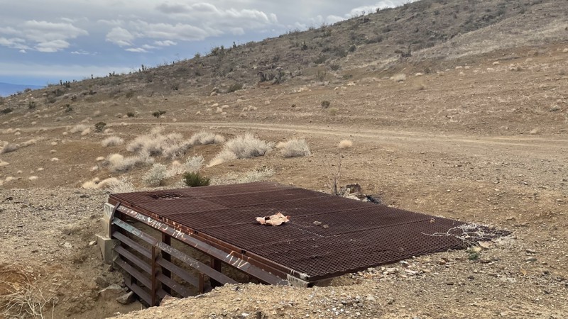
Oro Grande Mine is an easy trail not far from Victorville, California. The trail takes you along dirt roads past the abandoned Western States Mine until you ultimately reach the Oro Grande Mine. The mine is closed off and appears partially collapsed, so do not attempt entry. Although there are bumps, ruts, and small rocks, a 2WD vehicle with decent ground clearance can manage this trail. You can explore other trails from the mine or return the way you came. There are lots of unmarked side trails in the area, making it easy to get confused. Dispersed camping is allowed, and you can find a few open areas along the path that would make good campsites.
Updated: 05/20/2023
The Void
Brawley, California
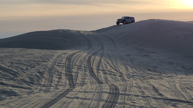
In the hills of the Superstitions of Southern California, is a fun play area known as The Void. The Void is a gap between the hills full of large sand dunes, sand walls, and bowls. The area is large enough where you can hang out and enjoy the views, play on the sand dunes, and just disappear. So if you are not too superstitious, head over to the Void and see if your vehicle has what it takes to power through the soft sand.
Updated: 01/04/2025
Juniper Flats 3330
Fizzben Heights, California
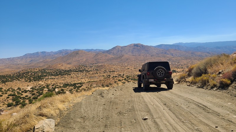
Juniper Flats 3330 is a 12.5-mile adventure and a gateway to explore the many intersecting driving and hiking trails over its length. JF3330 snakes through the northern slopes of the San Bernardino Mountain foothills and is also known as Power Line Road for its access to the Southern California Edison (SCE) high voltage towers the trail follows. The route begins with majestic views to the west over the Mojave River bed and onto the distant San Gabriel Mountains. About 1.5 miles from the trailhead, it passes by and overlooks the area's namesake Juniper Flats, a shallow depression between the hills covered in tall Junipers. Once leaving the flats, the trail finds itself surrounded by magnificent boulder fields that escort you to the northern slopes of the foothills to reveal stunning views over the northern desert of Apple and Lucerne Valleys and the Granite Mountains with Rabbit Dry Lake 2000 feet below. On the trail's eastern end, it proceeds onto private land, where the trail's name changes to Santa Rosa Road, and it abruptly ends at railroad tracks with no crossing to the road on the other side.
This is an easy trail, but a high clearance vehicle is needed with the occasional steep ascents and a 4-wheel drive. Please note that the Juniper Flats Subregion is a Limited Use Area requiring vehicles to stay on marked trails.
The majority of the trail is on Bureau of Land Management (BLM) land, and dispersed camping can be enjoyed on the trail when following the BLM Dispersed Camping Regulations. The steep slopes the road is carved into allow for a few suitable dispersed campsites. Most of the flat areas large enough for multiple vehicles are at the bases of the SCE high voltage towers. Open fires may be prohibited, and it is the responsibility of campers to know the Campfire Restrictions.
Updated: 06/01/2024
26E327 - Lookout Rock
Shaver Lake, California
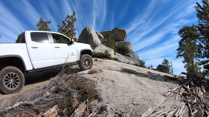
Mildly challenging, scenic and unique, Lookout Rock is one of many 4x4 trails in the Bald Mountain OHV Area near Shaver Lake in the Sierra National Forest. A creek crossing, a stair-step rock obstacle and Lookout Rock; a huge layered stack of granite near the end of the trail, set this trail apart from others in the area. 26E327 - Lookout Rock is a great trail for anyone with a 4x4 looking to explore the Bald Mountain off-road trail networks.
Updated: 10/15/2024
Stoddard Mountain Road
Barstow, California
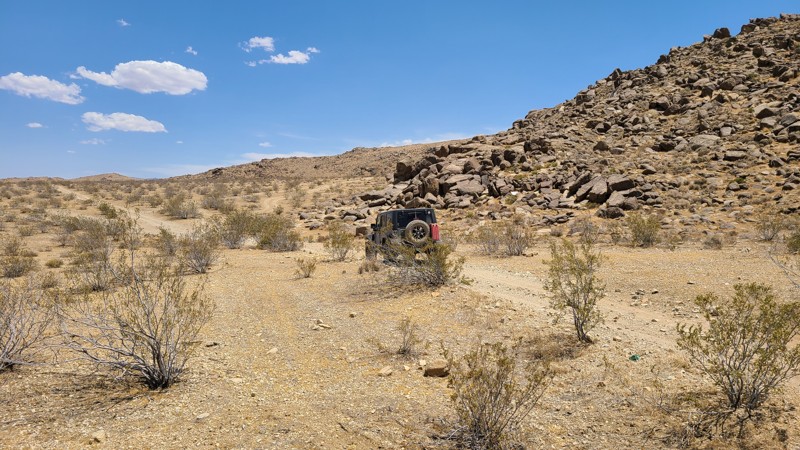
Stoddard Mountain Road passes over a valley created to the north of Stoddard Moutain. The trail offers a great contrast in road conditions. Beginning as a rough rocky gauntlet, the trail ends in a wide, flat maintained gravel surface that supports an active mine along the road. The road passes through the Stoddard Valley OHV area and the Stoddard Valley Dry Camp.
Updated: 03/13/2025
Boot Arch Sites 39-40
Lone Pine, California
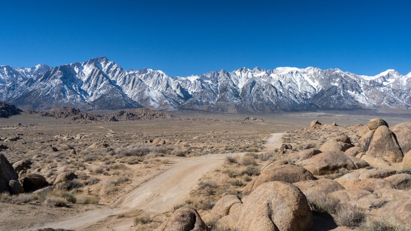
Secluded from the more popular region of Alabama Hills, the Boot Arch trail provides a few additional opportunities to explore the dirt roads in the area. Located shortly into the trail is its namesake, Boot Arch. There is a small pullout and a short hike to this small but unique arch. The trail to this point is very flat and easy.
Beyond the camping area, the trail splits into two forks and gets a bit rougher, requiring 4WD and high clearance to reach the ends, due to the rocky and rutty terrain. The northern spur is quite uneventful, aside from pure isolation. The southern spur guides users into the rock fins and truly makes you feel like you are on another planet. The end is a great location to take in the sights and enjoy a bite of lunch or a few minutes to yourself.
About the camping on this route:
All dispersed camping is designated to a specific site and requires a permit. A permit can be obtained online or at the Eastern Sierra Visitor Center or kiosks located on Movie Road and the main entry point in Lone Pine. Permits need to be signed and displayed on your dashboard.
The BLM has created a map showing the site numbers. However, those numbers are not used in the field, but each site is clearly marked with either a camping allowed or no camping allowed symbol on a clearly visible sign. Please be aware that all sites are first come, first served, and a permit does not guarantee you will find a site. Due to the popularity of the area, it is best to arrive early.
There are six portable restrooms throughout Alabama Hills. If you do not want to drive or walk to one, you must bring your own system to pack out human waste.
Below is a brief description of each site:
- 39: Relatively level, with room for 3-4 vehicles and ground tents. Site
- 40: About 30 yards off the trail to the north and is a bit more intimate, allowing for two smaller vehicles or one larger. Trailers and long-wheelbase trucks/vans may struggle to reach site 40 due to a few turns between some rocks and minimal room to turn around.
Updated: 10/15/2024
Worthington Trail
Mesaville, California
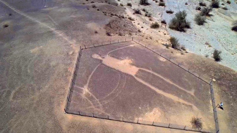
The highlight of the Worthington Trails is the 170-foot tall Intaglios located at its trailhead. The intaglios of humans and animals are estimated to be between 500 and 2000 years old. According to the Mohave and Quechans, natives of the lower Colorado River area, the human figures represent Mastamho, the Creator of all life. The animal figures represent Hatakulya, one of two mountain lions/persons who helped in the Creation. In ancient times, sacred ceremonial dances were held in the area to honor the creation. Managed by the BLM, the figures were fenced off in 1974 to prevent further damage from vehicles whose tire tracks can last 1000s of years.
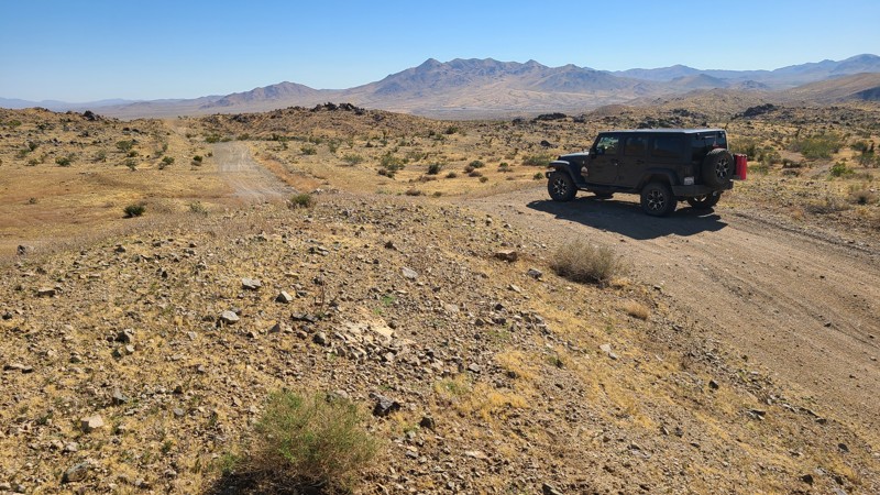
The trail then takes you to the rough Big Maria Mountains Wilderness border, where it rises in elevation to provide inspiring views of the valley below. Sections of the trail cross over dry washes where you can lose the trail's tire tracks in the large rocks. The most intimidating section of the route is a long steep, slippery decline. High clearance 4x4s should only attempt this trail. As the trail is entirely on BLM land, dispersed camping is allowed, and we found existing rock fire rings.
Updated: 10/15/2024
Stoddard Valley 6515
La Delta, California
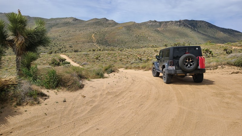
From Victorville, carving its way over the foothills of the Silver Mountains and through Brisbane Valley, SV6515 eventually reaches Barstow. Topping the many hills along the trail rewards you with stunning views of this high desert landscape. Over its twenty-mile length, this trail connects to several other roads and trails, inviting exploration.
The southwestern end of the trail for the first seven miles is on public land and provides several flat areas for dispersed camping when meeting the BLM Camping Guidelines.
During high fire danger, campfires may be restricted. If planning to camp, review the current BLM Campfire Restrictions and have a Campfire Permit.
SV6515 has several steep climbs and descents, with a loose rocky trail and deep ruts. A high clearance four-wheel drive vehicle with good all-terrain tires and an experienced driver should attempt this trail. Four low is also recommended for the steepest climbs and descents.
Updated: 10/15/2024
Scodie Mountains SC37
Sageland, California
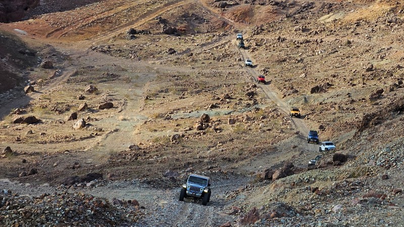
In the southern Scodie Mountains, a beautiful narrow canyon guides SC37 as it rises 1300 feet to the narrow mountain ridge of Wyleys Knob and an intersection with the Pacific Crest Trail. The ridge provides a perfect lunch spot while enjoying impressive views of the surrounding mountains and the distant Kiavah Wilderness.
SC37 is reached via Frog Creek SC47 and SC50. A BLM trail marker at the western start of the trail indicates this trail has a "Difficult" rating. Obstacles on the west and east side of the Wyle Knob ridge confirm this rating. The entire trail requires a high clearance 4x4 to manage a three-foot sandstone ledge on the west side of the trail and a steep descent over rough, rocky, water-damaged terrain on the eastern half. Only an experienced driver should attempt this trail.
At the northern end of the trail is Bureau of Land Management prepared primitive campsite with a rock fire ring that can be used when meeting BLM Camping Guidelines. During high fire danger, campfires may be restricted, and if planning to camp here, one should review the current BLM Campfire Restrictions and have a Campfire Permit.
Updated: 10/15/2024
Odessa and Doran Connector and Mine Network
Yermo, California
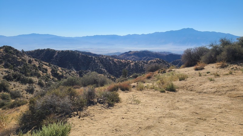
Connecting Odessa Canyon and Doran Canyon, this shortcut, sometimes referred to as Josh's Cut-Through, will save you several minutes when making the loop between the two canyons. With tons of rich mining history, this is the perfect trail for groups that want to avoid the rock crawling of Doran or Odessa Canyons and would rather spend their day exploring the old mine ruins and history of Calico.
This trail is a shelf-mining road, so if heights are not your thing, this won't be your favorite trail. This trail also has a steep, loose, and slightly off-camber descent and ascent on both ends that can be intimidating but can easily be handled by stock 4x4s with little assistance outside of airing down.
Camping along this trail is not ideal, and no pre-established sites exist.
Updated: 11/14/2025
Covington Flats
Yucca Valley, California
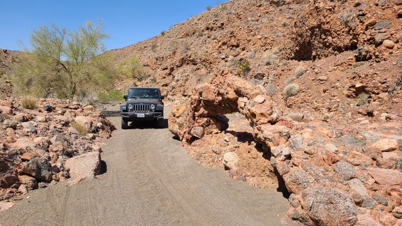
Located in the north-west corner of Joshua Tree National Park, the Covington Flats area is a great desert off-road scenic afternoon drive or a backcountry hiking destination. This route covers the entire Covington Flats area, providing views from the 5,400 ft Eureka Peak out to Palm Springs and the Morongo Basin. The lower elevations pass by captivating sculpted rock formations, large shading pinyon pines, and Joshua trees. The road is an out-and-back route and is well-marked, providing directions to staging and day-use areas that access the many backcountry hiking, biking, and horseback riding trails.
The site designated with a camping sign is for day use only; however, overnight camping is available at the National Park’s Black Rock Campground, located just 2 miles east of the road's start.
The route combines Covington Flat Road, Covington Crossover, Upper Covington, Eureka Peak, and Lower Covington Trail. The roads here are well maintained by the park and can be managed using a two-wheel drive passenger vehicle, but if wet, a 4WD high clearance vehicle is required.
Updated: 10/15/2024
Chuckwalla Springs Road
Desert Center, California
Chuckwalla Springs Road travels from the sandy Colorado Desert floor into a valley of the rocky Chuckwalla Mountains. Remnants of mining and the road's namesake, the Chuckwalla Spring, are passed along the way. The road is rated by BLM as "More Difficult" due to the trail's narrow, twisting, and rocky path. Dispersed camping is available at any suitable spot on BLM land. BLM prefers you use existing rock fire rings or cleared sites to minimize impact.
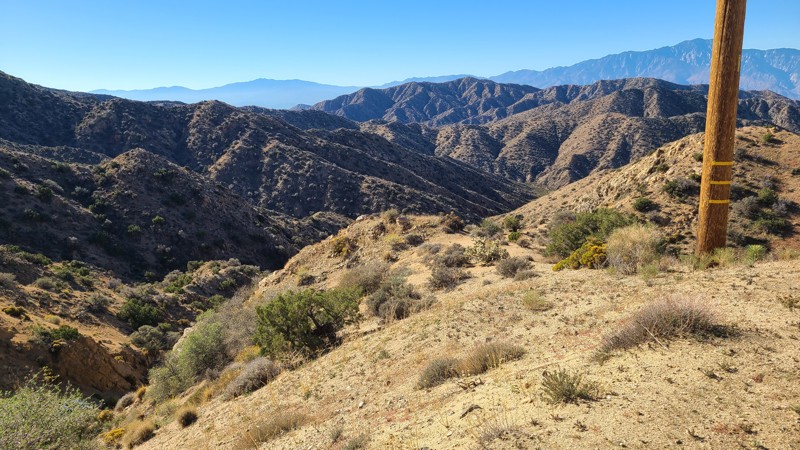
Updated: 11/14/2025
Little Morongo Canyon Road
Yucca Valley, California
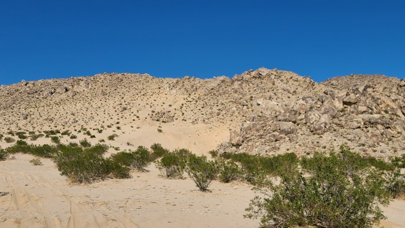
Located in the Sand to Snow National Monument, Little Morongo Canyon Road begins in a healthy Joshua Tree forest with great views out to Yucca Valley, then quickly winds 3,000 feet down the slopes of the Little San Bernardino Mountains, eventually following a narrow course between the steep sides of the beautiful Little Morongo Canyon. Along the way, the neighboring valleys expose views of the surrounding mountains. The descent finishes in a shallow wash, where several open dispersed camping sites will be found to enjoy the quiet and solitude of the trail.
This out-and-back road is easy with its wide, flat surface and can be driven using a two-wheel drive with some ground clearance to manage the occasional ruts. The northern end of the trail is on a steep twisty shelf road, and the width of the road will help reduce any apprehension for new off-road drivers.
Updated: 10/15/2024
Bloody Mary
Johnson Valley, California
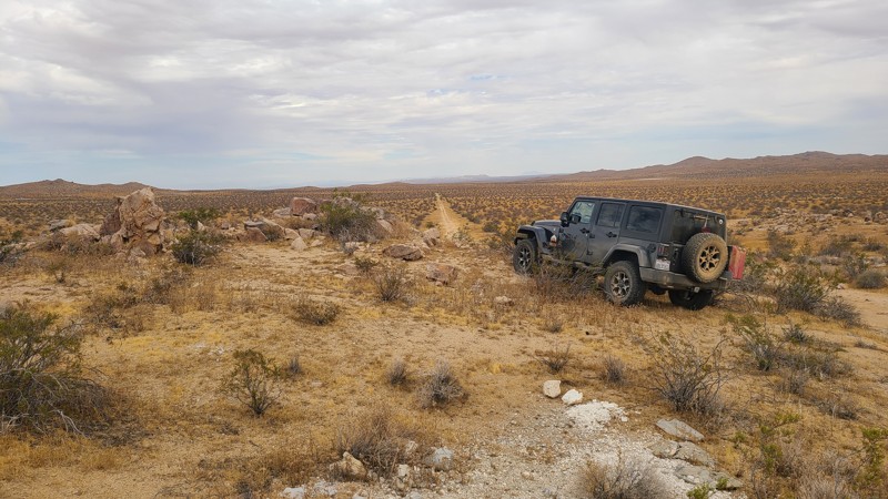
If you want hard, this is about as hard as it gets. Bloody Mary is an extreme buggy trail. Some of the best moon buggy drivers have found themselves beyond stuck on this trail. Full of ledges, 20-foot round rocks, and cracks, it takes extreme patience to get through this one. Thus, if you hear a story of someone wanting to run this trail, pack a lunch and a change of clothes and get out there and watch this wild ride.
There's no camping on this trail. Nearby Means Dry Lake is a popular camping area that is RV friendly.
Updated: 10/15/2024
El Mirage 4800
Kramer Hills, California
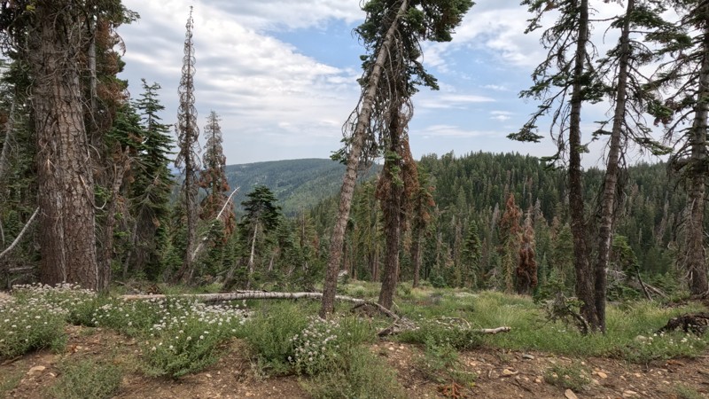
Passing between the Shadow Mountains to the south and the twin towers of Red Buttes to the north, EM4800 progresses over this Mojave Desert basin, rising a bare 350 feet over its entire length. The trailhead is easily reached from Highway 395, and its southwesterly direction provides access to several trails that invite exploration. EM4800 is within the El Mirage Subregion, which is designated as a Limited Use Area requiring vehicles to stay on the trails.
The trail passes through a checkerboard of private and BLM land, providing solitude and access to dispersed camping anywhere along the trail when meeting the BLM dispersed camping requirements. During the summer fire season, campfires may be restricted, and if planning to camp, one should review the current BLM Camp Fire Restrictions.
EM4800 is an easy, generally flat sandy trail requiring only a high clearance two-wheel drive vehicle.
Updated: 06/19/2025
Sloat McRae Road
Cromberg, California
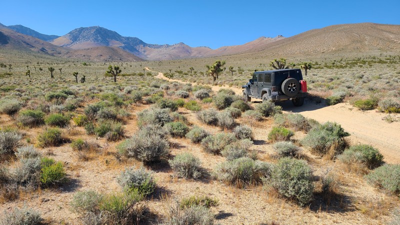
Deep in the Plumas National Forest is a legendary scenic forest trail. Sloat McRae Road is a scenic overland route from Quincy to the Pacific Crest Trail/Gold Valley OHV Trail. This old forest trail has towering trees and stoic beauty and is a fantastic drive. Although this is an excellent offroad trail, you must watch as the local logging companies use the trail. As you start out from the north side, you cross over the amazing Middle Fork Feather River, up a narrow lush canyon, over the towering mountains, and back down the other side. The trail allows for dispersed camping, and Ross Campground is a first-come, first-serve camping area. With a running stream nearby, this campground is something special. Since the trail is a maintained logging road, the trail is straightforward, and any offroad vehicle can ride the trail. So, if you are in the area and looking for something just stunning, look no further than this trail.
Updated: 08/11/2025
Cow Heaven Canyon Road SC51
Armistead, California
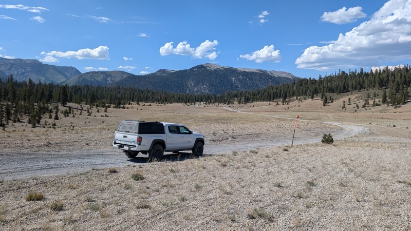
Cows Heaven Canyon Road (SC51) provides a corridor through the beautiful untouched hills of the Kiavah Wilderness from the Mojave Desert to the Sequoia National Forest. The road moves through the transition zone between the Sierra Nevada Mountains and the Mojave Desert, where you'll find an unusual mix of plants and animals, including creosote bush, Joshua trees, burro bush, and shadscale. This is an up-and-back trail with convenient access from Highway 14.
This is an easy trail, consisting almost entirely of packed sand. It requires only a two-wheel drive but still requires high clearance.
Vehicles can travel up the Wilderness Corridor to the end, where dispersed camping is allowed along the road. To minimize impacts, previously used or predisturbed sites should be used. Vehicles must park on the shoulder of the road in previously used locations as well. The Wilderness boundary is 30 feet from the road's centerline, so no motorized vehicles can travel further from the road even if a disturbed area extends past this boundary line. Dispersed camping is limited but can be enjoyed when meeting BLM Camping Guidelines. During high fire danger, campfires may be restricted, and if planning to camp here, one should review the current BLM Campfire Restrictions and have a Campfire Permit.
Updated: 06/03/2025
Dry Creek Road
Mammoth Lakes, California
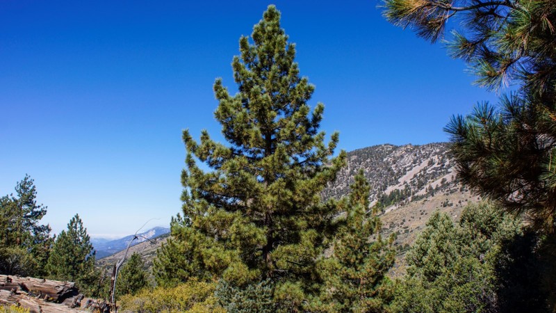
Dry Creek Road is a through trail connecting Inyo Craters to Deadman Creek in the Inyo National Forest. It passes through sections of alpine forest and the scenic Crater Flat. Parts of the trail are rutted and there are a couple of small climbs with loose material. AWD vehicles with moderate clearance should have no problem.
Dispersed camping is allowed, but the sites are mainly small areas that pull off the main trail with little shade. There are plenty of other great dispersed camping sites in the nearby area.
Updated: 06/07/2024
2N93F - Wildhorse
Big Bear City, California
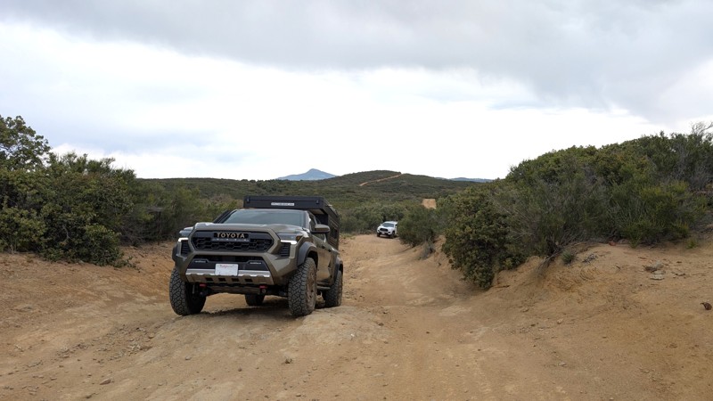
2N93F - Wildhorse Spur is in the beautiful San Bernardino National Forest, southeast of Big Bear Lake. There is dispersed camping throughout this trail, with 2 yellow post sites at the end. This is a spur off of 2N93 - Wildhorse Meadow, which has, on another spur, just 1.8 miles to the south, a designated shooting site at 2N93G Lightning Gulch. It's obvious where Wildhorse Meadow gets its name when you drive between waypoints 7 and 10, (of that trail). The meadow is lush and green and bordered by pine, oak, cedar, and elm. Bring your family, picnic lunch, and camera for a day of 4wd off-road fun. Better yet? Camp under the stars and enjoy the wildlife and forest.
Updated: 09/20/2026
Bear Valley Road
Pine Valley, California
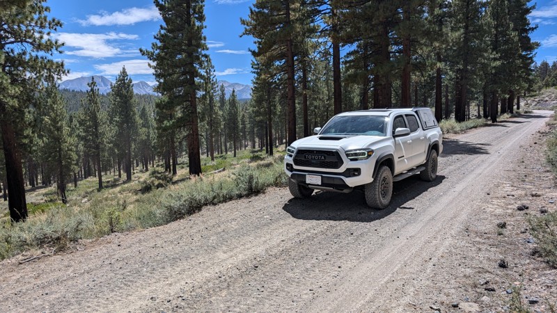
Bear Valley Road is a moderate difficulty trail, 45 minutes from San Diego, with rewarding southern views down to Mexico. It is popular with offroad enthusiasts as it is open to Off-Highway Vehicles (OHV). After the initial 2.5-mile climb to the ridge, the trail widens and has ample opportunities to stop, get out, take in the views, or have a snack. Bear Valley Road is great for anyone looking for mountain views while traversing something more aggressive than a dirt road.
This is an out-and-back trail for anything with 4 wheels (7 miles each way) with no access to Buckman Springs Road. The trail terminates at a locked gate 0.3 miles from the intersection with Long Valley Loop. However, continuing down Long Valley Loop and returning, it can become a 19-mile, almost 3-hour trek round-trip.
Difficulty
The trail is rough dirt and rock in good conditions, but when wet, deep mud bogs may form that could challenge even well-equipped vehicles. The first (northern) 2.5 miles contains over a dozen erosion control berms requiring high clearance. In addition to the erosion control, there are 3-4, roughly 20-foot sections with a climb/descent that may briefly encounter a 20° pitch or 15° camber.
Camping
There are at least 2 sites along the side of the trail, which can be used for camping in a pinch, but do not provide a lot of privacy. Camping does require a dispersed camping permit from the Descanso Ranger District.
Access
Use the Pine Valley exit off of I-8. The staging area is roughly 100 feet south of the freeway off-ramp. Parking within the fence requires a pass, but parking outside the fence is free. Parking may be busy due to the trail's popularity, with weekend mornings typically being the busiest.
Updated: 09/10/2026
Antelope Bench
Crestview, California
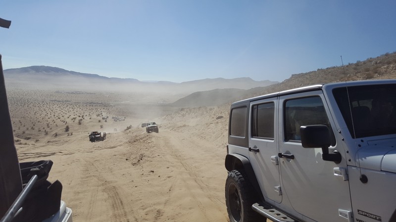
Antelope Bench is easy and offers diverse scenery. It passes by Lookout Mountain in the northwest and Little Antelope Valley in the southeast. Toward the southeastern end, there is also a (white) Clay Pit Mine. The trail winds through sparse forests and open valleys, providing a sample of different terrains east of the 395 highway. The northwestern half of the trail has more tree cover and shade than the southwestern half.
Most of the trail is gravel with a few rocky sections, and when conditions are good, it can be traversed with a stock 2WD truck or SUV. The trail has several locations that could be used for camping, as dispersed camping is allowed in the Inyo National Forest.
Updated: 02/27/2024
Mommas Sand Hill
Yucca Valley, California
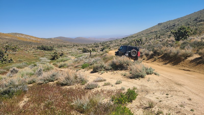
Who doesn't love a good sand hill? Yo Momma's Sand Hill is conveniently located in the epicenter of extreme off-road culture in Johnson Valley. Only a very short distance from the legendary basecamp of "King of the Hammers" lies this sandy playground. Soft loose sand, steep grades, and plenty of area to persuade your friends to try harder and harder obstacles, this sand hill can be hours of fun and entertainment for all off-road skill levels. Just don't get stuck, last thing you want to do is call your momma to come rescue you in her 86 Olds Cutlass Supreme.
Updated: 05/27/2025
Butterbredt Canyon Road SC123
Sageland, California
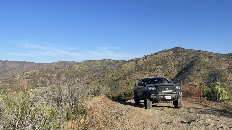
South of the Scodie Mountains, starting from the paved Kelso Valley Road, in a narrow gap along the soft sandy bottom of Butterbredt Canyon, sits Butterbredt Canyon Road (SC123). A healthy green joshua tree forest surrounds the road. The canyon's namesake, Butterbredt Springs, is teeming with life supported by the active spring and is near the southeastern end of the road, near its end at the intersection with Jawbone Canyon Road. Surprisingly, for its length, this straight-through road has only a single intersecting road but does have several hiking trails beginning from the road.
This is an easy trail over a maintained road, consisting almost entirely of soft, deep sand that requires a 4-wheel drive vehicle.
The only dispersed camping site is a BLM-provided primitive site near Butterbredt Spring. The large dispersed campsite with rock fire rings can be enjoyed when meeting BLM Camping Guidelines. During high fire danger, campfires may be restricted, and if planning to camp here, one should review the current BLM Campfire Restrictions and have a Campfire Permit.
Updated: 10/15/2024
Frank Raines OHV: Tip Over Trail
San Antonio Valley, California
Frank Raines OHV Park is located not far from Patterson, CA. It is open to 4x4s from sunrise to sunset with a $5 admission fee per vehicle. The park is open to all OHV vehicles, so be sure to watch out for dirtbikes, quads, and SXS.
Tip Over Trail is a moderately difficult trail in Frank Raines OHV connecting to West Loop Trail. The trail is mostly smooth dirt, with two moderate hill climbs easily conquered with 4WD or AWD. The beginning portion of the trail takes you past the child dirtbike track, as well as the now-closed entrances to Kidney Stone Trail and Concrete Trail.
Deer Creek Campground is located at the park's entrance. The campground has 34 sites with picnic tables, restrooms, and other amenities. Prices range from $15 to $30 per site.

Upgrade your Membership
Unlock all of the details on every Trail Guide and Scout Route.
Start a 7-day Free TrialBrowse Trails in California by City
Browse every California city with offroad trail guides.
Community
Partners

