




By clicking "ACCEPT", you agree to be the terms and conditions of each policy linked to above. You also agree to the storing of cookies on your device to facilitate the operation and functionality of our site, enhance and customize your user experience, and to analyze how our site is used.
California Off-Road Trails
415
Total Trail Guides 392

4106
Detailed Waypoints 524
Try a Free 7-Day Trial and unlock it all
Start a Free Trial Most Recent Trail Reviews
Rated 5/5
Open
Visited: 09/19/2026
Great beginner trail here for those looking to try out some rockier sections. Starting to trend a little closer to a rating of 4, but still a 3 I’d say

R
Rob
Rated 5/5
Open
Visited: 09/19/2026
I entered this trail from Freeway Ridge 4WD trail (31E77) and ran Black Gulch Jeep Trail up to Rancheria Road, turned around, and ran Black Gulch Jeep Trail all the way down to Keyesville Road in Lake...



Daniel Macioce
Rated 4/5
Open
Visited: 09/19/2026
Took out the vstrom 800de today and this thing was tough for someone like me who is pretty new to offroading motorcycles. I ended up turning around about half way because I wasn't sure if I would be a...
SK
sean kotrola
No Rating
Open
Visited: 09/19/2026
The trial marked by the app here is very difficult with all the recent deep washouts. Proceed at your own risk if you are by yourself with unmodified rigs. However the bypass is maintained and should ...
TB
Timmy Boby
Rated 5/5
Open
Visited: 09/18/2026
Very friendly fire watch tower volunteers and fantastic 360 degree views up top
R
Rob
Rated 5/5
Open
Visited: 09/18/2026
Great views and an easy drive through. Be sure to take the road up to the fire watch tower
R
Rob
Rated 5/5
Open
Visited: 09/17/2026
ran the trail twice last weekend, this is such a better way to go than 3n16...


Josh Noesser
Official Crew
Rated 5/5
Open
Visited: 09/16/2026
It's been 6 years since I visited this trail. It has seen some wear, but the overall difficulty is about the same, probably a bit higher now, as Waypoint 11 has suffered from traffic. Waypoint 11 ha...

Robert
Official Crew
Rated 5/5
Open
Visited: 09/16/2026
Started off from polique canyon at way point 13 and headed east. Its a great trail for most of it with scenic views. A good amount mud puddles that were fun as hell to drive through. Some I decided to...


VM
Victor Manuel Garcia
Rated 5/5
Open
Visited: 09/16/2026
Used this trail to get to Holcomb valley. Super easy and a nice drive, I can see how in the winter it can be a bit more challenging with rain and snow.
VM
Victor Manuel Garcia
No Rating
Open
Visited: 09/16/2026
Mostly easy, but heading NE there's a rock step down just a few miles in that *requires* high clearance. Banged the rear end of my 4runner despite having a 3" lift and 33" tires. A stock SUV would alm...



Carlos H.
Rated 5/5
Open
Visited: 09/15/2026
It's been over 4 years since I was last on this trail, and I was very happy to see that the old car was still there. Some research suggests that it is a 1939 Plymouth Road King 5-window coupe.


Robert
Official Crew
Rated 5/5
Open
Visited: 09/14/2026
A fun little detour off Burns Canyon. I ran this alone and stopped a few times to spot; I also used my grill camera in several places. I brushed my sliders a couple times, but no real issues. Definite...
EB
Ed Boyd
Rated 5/5
Open
Visited: 09/13/2026
easy perfect beginner off roader trail with great views and water crossing during the winter.



Dex Offroad
Rated 5/5
Open
Visited: 09/12/2026
Fenders Ferry kept giving me reasons to slow down and enjoy the ride. I loved winding along mountain ridges, following creeks, and catching glimpses of Shasta Lake's fingers tucked between the hills. ...



Rose Meirs
Official Crew
Rated 5/5
Open
Visited: 09/11/2026
super easy trail over looking the valley and 15fwy. only bad thing is that its super windy.

Dex Offroad
No Rating
Partially Open
Visited: 09/09/2026
Although you can cross the creek from Fordyce if you want, Committee Road is still closed back to the I80, so this has no exit, and you'll be forced back onto Fordyce.

Ryan Boudreau
Official Crew
No Rating
Temporary Closure
Visited: 09/09/2026
Road is still closed. I thought i read somewhere an expected 2030 opening, but can't confirm that info.
Ryan Boudreau
Official Crew
Rated 5/5
Open
Visited: 09/09/2026
This is an awesome trail . This trail is moderate with a few obstacles to make it fun. It also has incredible scenic views with a little bit of shelf roads. You can watch the full video on my YouTube ...


Dex Offroad
Rated 5/5
Open
Visited: 09/07/2026
Pretty spot on with the rating, was a little tough today with the rain but made it through in my 2023 Gladiator Overland with 2.5” lift and 35s with autolynx sway disconnects.


CT
Christopher Tanton

Shaan Heugly
Rated 5/5
Open
Visited: 09/06/2026
Drove reverse from what’s listed to the jasper trail. This is a easy but enjoyable trail with plenty of places to camp at the end of the
Shaan Heugly
Rated 5/5
Open
Visited: 09/06/2026
Bit washed near the top but nothing difficult to navigate. I headed from jasper to the highway and near the highway it did narrow. I got through with my Tacoma but there are a few pinch points I could...
Shaan Heugly
Rated 5/5
Open
Visited: 09/06/2026
Mostly easy trail but when going south to north, I did need to use 4Lo on some of the inclines with a loaded Tacoma
Shaan Heugly
Rated 4/5
Open
Visited: 09/05/2026
It had been five years since I last drove this trail. The long, annoying stretches of moguls are still there, and water erosion has added a touch more difficulty in places. It was nice to see the old ...


Robert
Official Crew
Rated 4/5
Open
Visited: 09/05/2026
This is a nice trail with great views for any 4WD with ground clearance as some sections have ruts that are 12+ inches deep. Things were very dry on my visit, so airing down the tires helped to smooth...


SG
Steve Graham
Rated 3/5
Open
Visited: 09/05/2026
From waypoint 7 to 10 the water damage is pretty bad. Waypoint 13-16 it is rocky. Nothing crazy but a few spots where patience and the right line will go a long way. Good clearance and 4x4 recommended
N
Noah
Rated 5/5
Open
Visited: 09/05/2026
Easy trail with an awesome view at the end. There were three lookouts in the fire tower and each one was super friendly and informative. Must see trail!


N
Noah
Rated 5/5
Open
Visited: 09/05/2026
fun easy trail, Butler Peak lookout is the highlight imo
N
Noah
Rated 5/5
Open
Visited: 09/04/2026
Trail was very well maintained. Thanks for the Fresno 4x4 club. It was very cold at night, into the 30s. We were on the trail two nights, 3 days and two nights at voyager rock due to a breakdown fr...
JD
John Drago
No Rating
Open
Visited: 09/04/2026
Beautiful area, but the trail itself wasn’t very interesting. I’d rate it around a 3/10, with a couple of optional sections that might push a 4.
There’s tons of dispersed camping throughout the area,...


Ryan Smith
Rated 5/5
Open
Visited: 09/01/2026
awesome trail with a lot of water crossings. just be careful of sxs and bikes since its a OHV area.

Dex Offroad
Rated 5/5
Open
Visited: 09/01/2026
Super easy trail and you can over look the high desert. Trail ends at an awesome view point.

Dex Offroad
Dex Offroad
Rated 5/5
Open
Visited: 08/31/2026
This trail is much harder than it used to be. It’s just as breathtakingly beautiful as ever. You are on your own out there. Fuel, parts, spare tire. It’s days from help if you need it so go prepared. ...

CP
Christopher Pepin
No Rating
Open
Visited: 08/30/2026
Ran this trail today and had fun. Easy trail with great views. I wouldn’t hesitate to take an experienced driver in a stock jeep up this. There are lots of trails in this area and way to get off the m...

CP
Christopher Pepin
No Rating
Open
Visited: 08/29/2026
Trail was in good shape, a little less sand makes the boulders a little bigger. People have made the bypass around the sluice a little bit longer than it used to be you miss a lot of the good rocks. O...
C
Campbell
Rated 5/5
Open
Visited: 08/29/2026
An often overlooked and amazing trail. It’s about the length and difficulty of the rubicon if you don’t hit any of the bypasses on the rubicon. We had a group of 3 lj on 40s, a jku on 42s, and an Xj o...
CP
Christopher Pepin
Rated 4/5
Open
Visited: 08/27/2026
This is most definitely a hard trail. Is the entire thing hard? Not at all. The western 7 miles are a hard packed dirt road. Then you run into 3 straight, large boulder obstacles where its clear many ...


Ryan Boudreau
Official Crew
Rated 4/5
Open
Visited: 08/27/2026
Easy drive with beautiful views and . . . Buck Rock! Lots of camping south of Buck Rock, but camping north of the Rock isn't as plentiful. There are a few others on the north, but there's one here: 36...


Carlos H.
Rated 5/5
Open
Visited: 08/26/2026
I really enjoyed this road. It's super scenic with the sierra's in the background, the white beaches, and the columns are really cool. The road is not anything challenging with a high clearance vehicl...


Ryan Boudreau
Official Crew
Rated 4/5
Open
Visited: 08/25/2026
Fun area. The hot springs are pretty popular and well-known, and because they are small, you'd better hope you are one of the first people there that day if you want to get in. The route is easy, exce...


Ryan Boudreau
Official Crew
Rated 4/5
Open
Visited: 08/25/2026
I liked this trail a lot, but it's not quite a 5-star trail for me. I feel like it's a little overhyped. Is it scenic? Absolutely! Is there tons of great camping? Totally! Is it a crazy busy? You Bet!...


Ryan Boudreau
Official Crew
Rated 4/5
Open
Visited: 08/25/2026
Road to the hot springs parking area is easy. There are regular passenger cars there. The hike is easy too. The tub itself is super scenic, but know that they are not hidden gems by any means and we'l...

Ryan Boudreau
Official Crew
Rated 3/5
Open
Visited: 08/25/2026
It's a simple road, but definitely very scenic and really only used to get from Convict to Laurel Lakes or Mammoth. Road is suitable for anything with decent ground clearance.


Ryan Boudreau
Official Crew
Rated 2/5
Open
Visited: 08/25/2026
Simple dirt road used to access other types of recreation. Many signs remind you that you aren't allowed to camp along it except at the campground.


Ryan Boudreau
Official Crew
Rated 3/5
Open
Visited: 08/23/2026
Simple, straightforward dirt road used for fishing access.


Ryan Boudreau
Official Crew
Rated 5/5
Open
Visited: 08/23/2026
Amazing views at the top of this trail. Erosion looks to be making this trail harder than it probably originally was. Most of the hardest spots are getting bypasses created around them. A short, st...



Dan Jurgella
Rated 5/5
Open
Visited: 08/23/2026
Toad Lake Road 40N64 was a long, slow, and wonderfully remote drive into the Trinity Divide. The changing mix of old pavement, dirt, loose rock and deep ruts kept the journey interesting, while forest...


Rose Meirs
Official Crew
Rated 5/5
Open
Visited: 08/23/2026
North Fork 41N53 was a fun backcountry drive through the forest west of Mount Shasta. Early in the trip, a wrecked motorhome beside the road provides unforgettable confirmation that you are on the rig...


Rose Meirs
Official Crew
Most Popular

Updated: 04/08/2025
Amy's Wash
Hayfield, California
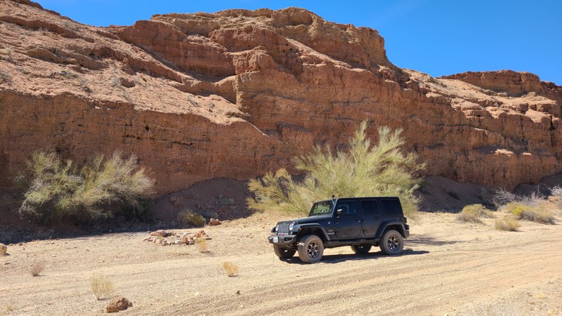
Amy's Wash takes you on a 10-mile loop over a flat arid desert floor into the foothills of the Orocopia Mountains, reaching an old miners' claim at its apex. The return half travels down a steep hill into an arroyo surrounded on both sides by nearly vertical red-colored walls that reach 30 feet high with a flat floor made up of deep fine sand. The trail is rated by the BLM as "Easiest" and has no obstacles. The end of the trail intersects Bradshaw Trail on the border of the Chocolate Mountain Aerial Gunnery Range.
Updated: 12/18/2025
Sledge Hammer 3rd Canyon
Yucca Valley, California
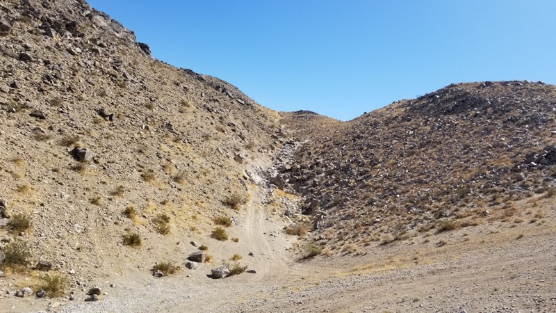
If the lower part of Sledge Hammer wasn't enough, don't worry. 3rd Canyon is a continuation of Sledge Hammer that can give you a little more fun before heading down the mountain. This exciting little trail is a blast if you still have more time in the day. The only downside, if you want to call it that, is you have to run Sledgehammer first. If you are in Johnson Valley California and want a little more fun after you just got done running Sledgehammer, check out 3rd Canyon.
Updated: 08/11/2025
Gasline Road
Hayfield, California
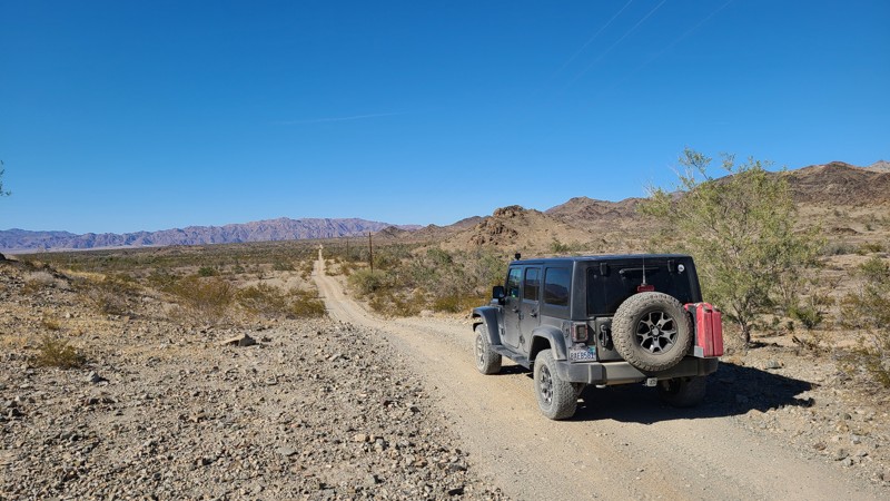
Starting at I10, Gas Line Road is entirely on BLM land and skirts over its 11 miles between the Orocopia Mountains to the west and the Chuckwalla Mountains to the east, and ends at the border of the Chocolate Mountains Bombing Range. This one-lane road is surrounded by dense Creosote scrub and other bushes native to this Colorado Desert. Military jets may fly overhead and are seen first before the roar of the engines catches up as they maneuver for practice bombing runs. You may see the rising smoke of a successful bomb drop off to the south. As the name suggests, the road provides access to a buried pipeline and power lines over its length. The road itself alternates between deep, soft sand and hard-packed gravel with no significant obstacles save for a few rocky sections of broken rock. This straight-through road provides a connection to at least six other trails, often leading to old mines to the east, with a final tie at the Bradshaw Trail.
Updated: 03/10/2026
Upper Jojoba Wash
Dos Cabezas, California
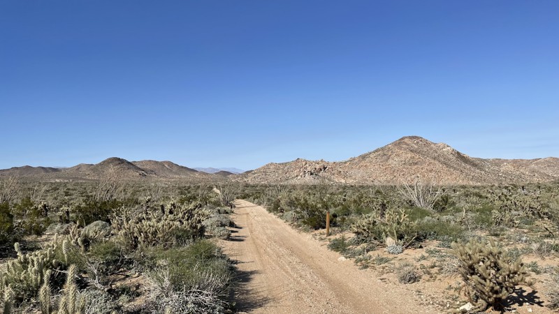
Upper Jojoba Wash is an easy dirt trail in Anza Borrego Desert State Park that connects Dos Cabeza Road to the upper portion of Goat Canyon Trail. A 2WD vehicle can manage this trail, but the connecting Goat Canyon Trail is rated Difficult. The hardest part of this trail is a small bump, which any vehicle with a little ground clearance can manage.
Anza Borrego allows dispersed camping. A few open areas along the trail would support two to three vehicles.
Updated: 06/15/2026
Tule Divide
Elizabeth Lake, California
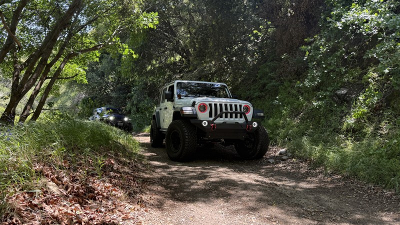
Tule Divide is a beginner-friendly trail tucked away in the Angeles National Forest near Grass Valley. 4WD is not required. There is no camping on this trail. This scenic route follows a graded dirt road with a few washed-out areas. It’s a great option for first-timers or those looking for a relaxed offroad experience surrounded by mountain scenery. It’s worth mentioning that Tule Divide ends in the middle of Ruby Clearwater Road—a challenging level 4 trail that’s a whole different beast.
Updated: 12/31/2024
Lava Tube Road
Baker, California
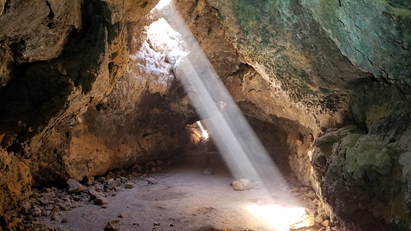
The Mojave National Preserve (MNP) was established in 1994 and at 1,542,776 acres it is the third-largest National Park. Generally, the roads in the preserve follow narrow corridors bounded on both sides by wilderness areas allowing most of the MNP to remain in a natural state by minimizing human impact. Lava Tube Road is surrounded by a wilderness area called Cinder Cones National Natural Landmark, and for good reason. The Cinder Cones National Natural Landmark area comprises 32 small volcanoes that have created a series of lava flows swallowing up the surrounding desert and have been active as recently as 10,000 years ago. Lava Tube Road provides a spectacular and close-up view of many of these lesser volcanoes and an intimate encounter with the lava flows upon which most of the Lave Tube Road is built. If you choose to explore a lava tube firsthand, just 300 feet off the road, the park service has installed a stairwell that descends into one of the lava tubes where you can walk its length deep underground. Dogs are welcome in the Preserve but must be kept on a leash. The roads in this area were built to support the Aiken Cinder Mine, which closed in 1990.
Updated: 10/21/2022
Sushi Burrito
Barstow, California
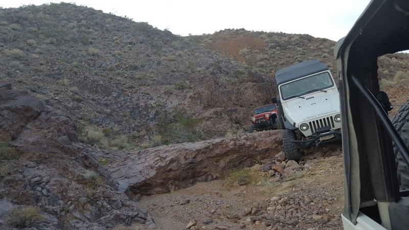
This hard cut-through is a fun way to challenge even the best drivers. On one side is the famous St. Louis Mine; on the other side is Wall Street Canyon. Between the two is a 5 foot ledge and a slippery slide downhill that is over 70 degrees in spots. This trail isn't for the weak of heart.
Updated: 06/05/2022
5 Palms Oasis
Salton City, California
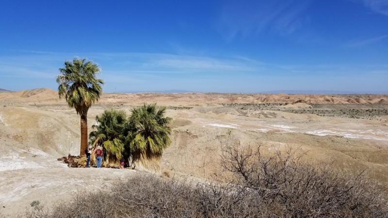
Four emerald green palm trees rise from the barren desert at this oasis in the Ocotillo Wells SVRA. The unique and abrupt blip of emerald green rising from the desert has a mystical feeling to it so be sure to check it out when you are out exploring backcountry roads and washes in this desert area near the Salton Sea and Anza Borrego.
Updated: 12/02/2025
Dark Canyon Road
Pine Wood, California
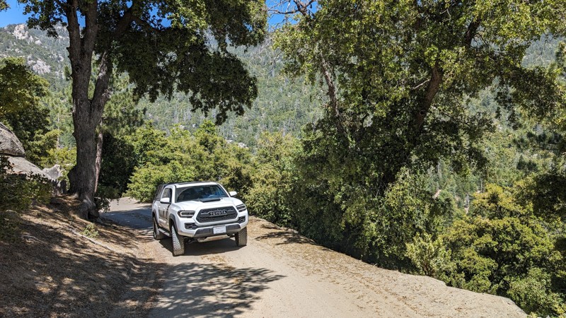
Dark Canyon Road is paved for the first 2.5 miles, but once you exit the last campground, it turns into a narrow shelf road, ultimately leading to a yellow post campsite. It does not go all the way through to Black Mountain Road; it is gated at 4.6 miles, making it an out-and-back trail. The paved part is not too exciting, but the dirt switchbacks and views from the top are great.
Stone Creek Campground, Fern Basin Campground, Marion Mountain Campground, and Dark Canyon Campground can all be found along this road. There are a couple of small offshoots for dispersed camping and a Yellow Post campsite. Just remember to have an Adventure Pass and Campfire Permit (even for gas stove use).
Updated: 10/15/2024
Frank Raines OHV: The Rock Trail
San Antonio Valley, California
Frank Raines OHV Park is located not far from Patterson, CA. It is open to 4x4s from sunrise to sunset with a $5 admission fee per vehicle. The park is open to all OHV vehicles, so watch out for dirtbikes, quads, and SXS.
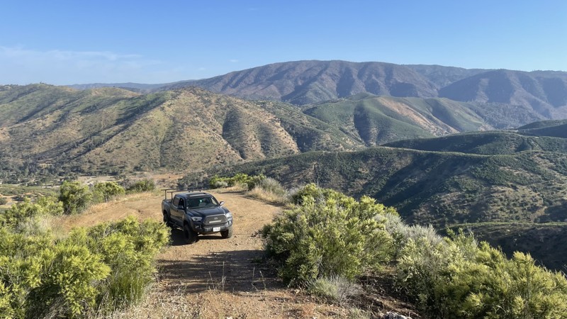
The Rock Trail is a moderate trail, rated blue by the park's rating system. Despite the name, the trail is not particularly rocky and is mostly loose dirt and moderate hill climbs that any 4WD or AWD vehicle can complete. The trail dead ends at the top of a hill, with a good view of the park and plenty of space to turn around.
Deer Creek Campground is located at the park's entrance. The campground has 34 sites with picnic tables, restrooms, and other amenities. Prices range from $15 to $30 per site.
Updated: 03/23/2023
Los Cabezas Mine
Ocotillo, California
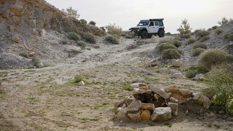
A side trip to the old Dos Cabezas Limestone Mine, established in 1958, is worth adding to your explorations of the vast Anza-Borrego Desert State Park. Sites along this short trail include the abandoned limestone mine, an old train trestle, and one of the more unique campsites in the park. The next time you are in the area, make a quick loop and check out the sites of Dos Cabezas Limestone Mine.
Updated: 06/29/2026
Van Dusen Canyon Road
Big Bear, California
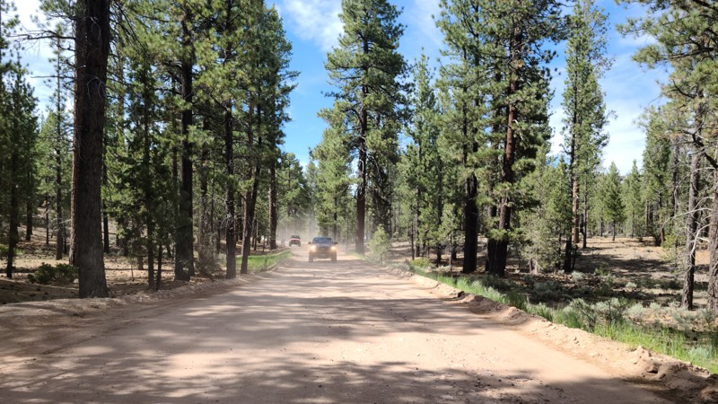
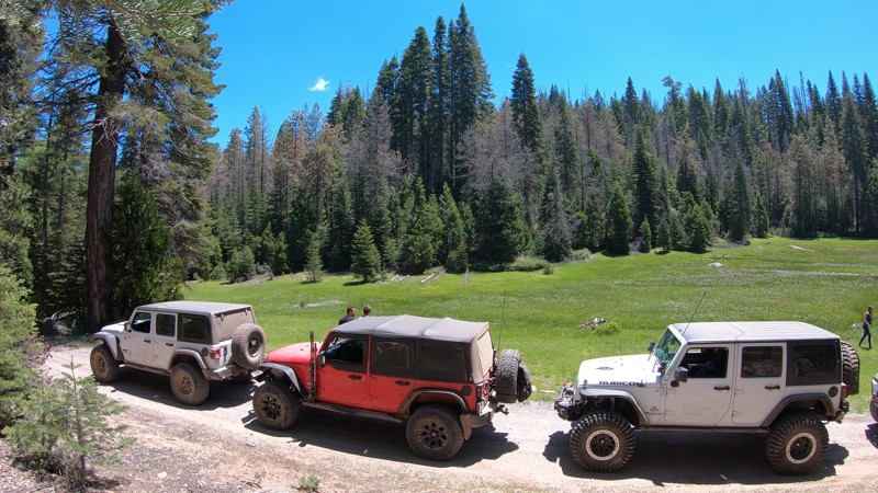
Van Dusen Canyon Road (3N09) is an easy, seasonal offroad trail near Big Bear, California, ideal for beginners or anyone looking to explore the San Bernardino National Forest at a relaxed pace. It serves as a popular connector route to more advanced trails deeper in the forest, such as Holcomb Valley, or as a standalone scenic drive for those seeking tranquility.
As you travel this graded dirt road, you’ll experience a steady elevation gain. Starting around 6,700 feet in Big Bear up to over 7,800 feet at the end. This scenic trail brings cooler temperatures and sweeping mountain views. The gradual climb takes you through dense pine forests, wide open meadows, and some truly beautiful high-country landscapes. Due to its wide, smooth surface, it’s commonly recommended for larger vehicles like RVs, 2WD cars, and other street-driven rigs, making it one of the most accessible routes into the San Bernardino Mountains.
Van Dusen is also a favorite for overlanders and weekend 4x4 travelers thanks to the abundance of dispersed camping in the area. The best location is a large, cleared area about halfway and on the east side of the road, where it is not uncommon to see groups of 5+ vehicles gathered.
Updated: 07/11/2023
6S68 - Sand Creek
North Fork, California
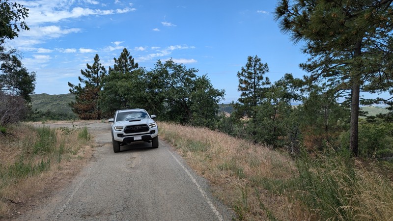
Just off Rock Creek Road, outside North Fork, California, and east of Bass Lake in the Sierra National Forest is 6S68 - Sand Creek. This short trail is part of a common route connecting the Whiskey Falls area and the Whiskey Falls Campground to the base of the more technical Shuteye Peak. Along this trail, you will find an open forest meadow, Gaggs Campground, and, of course, Sand Creek.
New off-roaders, campers, or overlanders might enjoy this trail for the remote camping opportunities, places to cool off along Sand Creek, and miles and miles of connecting mountain trails at either end.
Updated: 10/15/2024
Upper Kitchen Creek Road
Mount Laguna, California
Kitchen Creek Road used to be a through route between Mt. Laguna and I-8 to the south, however, the middle section is now permanently closed. The upper section has roughly a 600' elevation difference, so it's relatively flat but permanently gated at 2.5 miles.
Along this route, there are many spurs and sites for dispersed camping. The road itself is easily traversable with any 2WD vehicle, but the spurs and access to the campsites range from easy to almost impassable.
This route is in the Cleveland National Forest and may require an Adventure Pass and/or Campfire Permit (even for gas stove use).
Updated: 01/05/2023
The Hex
Brawley, California
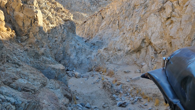
In the hills of the Superstitions is a unique and scary short trail that will likely leave people wondering what happened. The Hex, part of the Voodoo trails area, is likely going to leave people with bad memories for years to come. This intense narrow canyon is full of tight ledges and extreme off-camber. The feeling that things are only going to get worse is a real thing as it almost feels you have no control of what will happen next.
So if you want something harder than Voodoo Rock Garden, but not as insane as Craptastic, check out the Hex and see if you can make it out to the other side.
Updated: 08/13/2025
Cherry Hill Road
Kernville, California
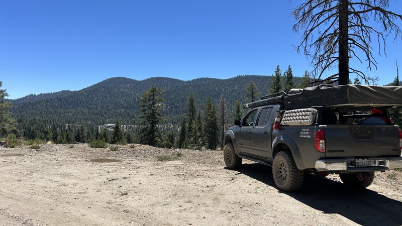
22S12 is an out-and-back trail with several designated campgrounds along the route. There is approximately 8 miles of pavement until it becomes a dirt road at Poison Creek. Poison Creek is a dispersed campsite with fire rings and plenty of space for up to 8 vehicles.
Several spurs along the trail lead to dispersed camping and are well-marked. There are many overlooks where you can stop and enjoy the scenic views. If you are traveling into the area, 22S12 is a quick and easy trail to find a place to camp for the night. The trail has remnants of a paved road, but it has deteriorated into a combination of paved spots and graded dirt road with washboard bumps. A stock SUV or car can complete it. Permits are required for campfires, charcoal fires, and portable stoves. There are no garbage services in the area, so you will need to "Pack it out".
Updated: 10/15/2024
Crater Mountain Flats
June Lake, California
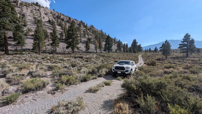
Crater Mountain Flats is a through trail that passes along the base of the Mono Craters with spectacular views. It is in the Inyo National Forest, so dispersed camping is allowed and can be found along the trail.
The trail's south end is a short shelf road along the base of a crater with a lot of obsidian. The rocks are pointy, with sharp obsidian scattered about. The rest of the trail is mostly loose pumice gravel with a few deep ruts from vehicle travel. There are also a couple of small climbs with very loose material.
High-clearance 4WD with tough, good-quality tires is recommended.
Updated: 10/15/2024
Secret Waterfall Off Coral Wash
Salton City, California
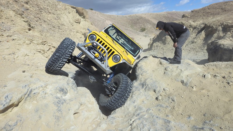
Out off of Coral Wash sits a secret of the area. Rumors float around this secret of the desert. The Waterfall off of Coral Wash in Truckhaven Hills, near the Salton Sea, is one of the most challenging rock obstacles in the area. People often talk about this waterfall with no idea where to find it. The obstacle itself offers three lines: Hard, Harder, and Insane. Because there is a more manageable line, 4WD vehicles with larger tires can likely get up the easier line of this obstacle, but if you want to try the harder line, be ready for body damage and disappointment.
Due to the remote nature of this trail and the fact that it is mostly in tight canyons, there are no good camping locations along the route.
Updated: 08/11/2026
EP 15
Harts Place, California
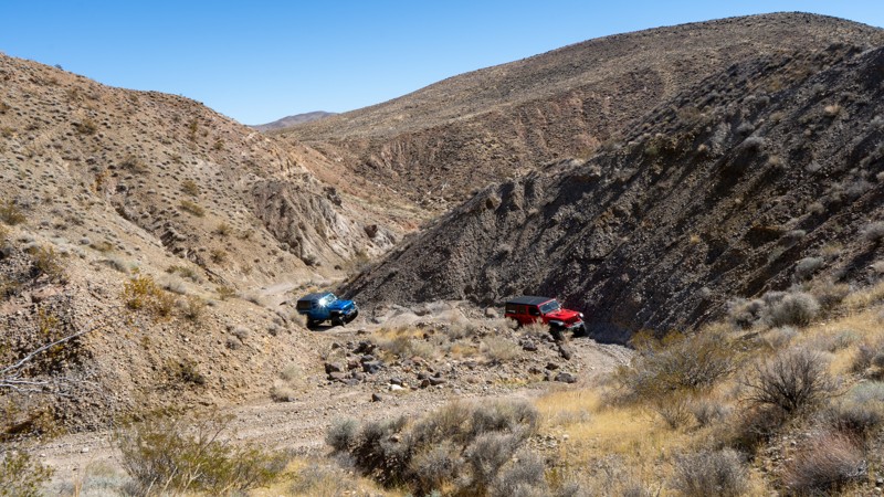
EP 15 provides a major east-west path across the El Paso Mountains, connecting Highway 14 and Highway 395. It is also the main gateway to other attractions, such as Bickel Camp and the Burro Schmidt Tunnel.
The eastern and western sides are drastically different. On the western side, the trail is rather tame and has the Colorado Camp as a roadside attraction. The eastern side will leave you feeling remote, and the road is more adventurous. Hobbs Wash is a very unique canyon with several tight S-turns where extra-long wheelbase vehicles may struggle.
Pre-disturbed campsites can be found, but they are few and far between. You can also camp at the Colorado Camp, near where Mesquite Canyon intersects.
Airing down is recommended as both the east and west sides will be bumpy and washboarded. There are a couple of steep entry points as it crosses several washes, which may require 4-low gearing for some. It is suitable for all high-clearance vehicles.
Updated: 12/11/2025
Wiley Well Road
Mesa Verde, California
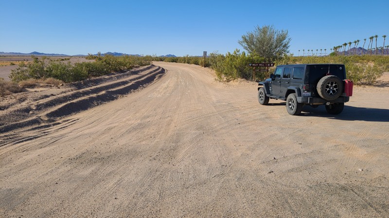
Built as an access road to a BLM-managed Long Term Visitor Area, Wiley Well Road is also a gateway to beautiful and desolate areas of this Chuckwalla section of the Colorado Desert. At the end of the road, there is a network of well-marked BLM trails to explore throughout the region, with many roads leading to publicly available large geode beds. Paid permits are required for long-term camping from September 15 to April 15 at 45 improved sites along the route. Outside of the LVTA date window camping is allowed for up to 14 days free of charge. This road is sandy but wide and flat and suitably maintained for large RVs.
Updated: 10/15/2024
Frank Raines OHV: Spider Trail
San Antonio Valley, California
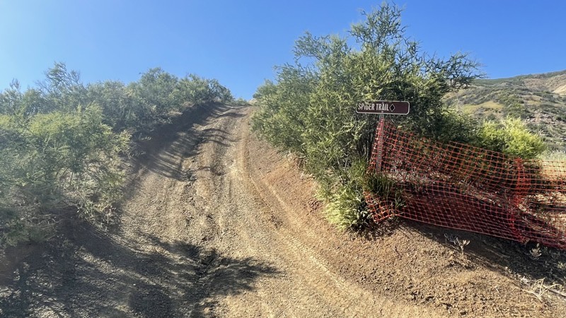
Frank Raines OHV Park is located not far from Patterson, CA. It is open to 4x4s from sunrise to sunset with a $5 admission fee per vehicle. The park is open to all OHV vehicles, so watch out for dirtbikes, quads, and SXS.
Spider Trail is a challenging trail, rated a black diamond by the park's rating system. The trail is heavily rutted and is essentially one long hill climb. But a skilled driver in a 4x4 will be able to manage. The dirt is loose, causing traction issues. At the trail's end, you can return the way you came or continue to Matt's Trail or Truck Trail.
Deer Creek Campground is located at the park's entrance. The campground has 34 sites with picnic tables, restrooms, and other amenities. Prices range from $15 to $30 per site.
Updated: 08/19/2025
Rock Creek High Lakes aka Bear Lake Trail
Tobin, California
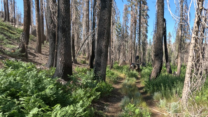
In Lessan National Forest, in the High Lakes OHV area, 519 Bear Lake Trail leads to Butterfly Falls. You will encounter several named obstacles like Pucker Point, a narrow rock outcropping you must drive around, where a simple mistake could send you plummeting off the side of the trail. You also have V-Notch, a 15-foot steep rock section with a deep hole in the center. You will need a built vehicle; although lockers are not required, having them would be a good idea, or at least a winch. It is also recommended to have a full belly and side armor due to all the down trees, narrow squeezes, and rocks.
Many people say this is their favorite trail because of its spectacular scenery, dense forest, green pastures, deep green bushes, and flowing creeks. It has excellent dispersed camping, too, with several areas for dispersed camping. A popular location is down by the old shingle mill at Bear Lake(no longer there), where the flat ground makes for an ideal place to camp. The area is large enough for 5+ vehicles. Another perk of this spot is a nearby swimming hole in Rock Creek.
Once at the falls, the trail continues as "Pipejam," an insanely hard trail where body damage and breaking are almost guaranteed even for the most built rigs. This makes Bear Lake an out-and-back trail for 99% of the people.
Updated: 06/20/2025
Dry Creek Flats Upper
Mammoth Lakes, California
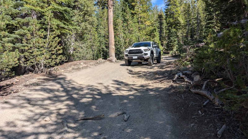
Dry Creek Flats Upper is an offroad alternative between Mammoth Mountain Ski Area and Inyo Craters. It also connects nearby hiking trails and single-track motorcycle trails.
The trail consists mostly of gravel and dirt, which can be loose in some spots. There are also some large ruts, tree roots, and whoops to contend with, as the area is popular with all sorts of offroad vehicles. A high-clearance 4WD vehicle is recommended.
There are a few spots to camp, but campfires may not be allowed during the dry summer months.
Updated: 01/05/2023
Mine Loop
Brawley, California
If you are looking for something challenging but you think Voodoo Rock Garden is too easy, how about exploring Mine Loop in the Superstition Mountains. This unique trail to the area has several rock gardens that will challenge the normal build of vehicles. If you think that is still too easy, you can turn off and check out Craptastic which is near the end of the canyon on this trail.
So whether you just want to get out and relax away from people, or you are looking for something challenging, this trail has it all.

Upgrade your Membership
Unlock all of the details on every Trail Guide and Scout Route.
Start a 7-day Free TrialBrowse Trails in California by City
Browse every California city with offroad trail guides.
Community
Partners

