



By clicking "ACCEPT", you agree to be the terms and conditions of each policy linked to above. You also agree to the storing of cookies on your device to facilitate the operation and functionality of our site, enhance and customize your user experience, and to analyze how our site is used.
California Off-Road Trails
414
Total Trail Guides 391

4102
Detailed Waypoints 523
Try a Free 7-Day Trial and unlock it all
Start a Free Trial Most Recent Trail Reviews
Rated 5/5
Open
Visited: 09/19/2026
Great beginner trail here for those looking to try out some rockier sections. Starting to trend a little closer to a rating of 4, but still a 3 I’d say

R
Rob
Rated 5/5
Open
Visited: 09/19/2026
I entered this trail from Freeway Ridge 4WD trail (31E77) and ran Black Gulch Jeep Trail up to Rancheria Road, turned around, and ran Black Gulch Jeep Trail all the way down to Keyesville Road in Lake...



Daniel Macioce
Rated 4/5
Open
Visited: 09/19/2026
Took out the vstrom 800de today and this thing was tough for someone like me who is pretty new to offroading motorcycles. I ended up turning around about half way because I wasn't sure if I would be a...
SK
sean kotrola
No Rating
Open
Visited: 09/19/2026
The trial marked by the app here is very difficult with all the recent deep washouts. Proceed at your own risk if you are by yourself with unmodified rigs. However the bypass is maintained and should ...
TB
Timmy Boby
Rated 5/5
Open
Visited: 09/18/2026
Very friendly fire watch tower volunteers and fantastic 360 degree views up top
R
Rob
Rated 5/5
Open
Visited: 09/18/2026
Great views and an easy drive through. Be sure to take the road up to the fire watch tower
R
Rob
Rated 5/5
Open
Visited: 09/17/2026
ran the trail twice last weekend, this is such a better way to go than 3n16...


Josh Noesser
Official Crew
Rated 5/5
Open
Visited: 09/16/2026
It's been 6 years since I visited this trail. It has seen some wear, but the overall difficulty is about the same, probably a bit higher now, as Waypoint 11 has suffered from traffic. Waypoint 11 ha...

Robert
Official Crew
Rated 5/5
Open
Visited: 09/16/2026
Started off from polique canyon at way point 13 and headed east. Its a great trail for most of it with scenic views. A good amount mud puddles that were fun as hell to drive through. Some I decided to...


VM
Victor Manuel Garcia
Rated 5/5
Open
Visited: 09/16/2026
Used this trail to get to Holcomb valley. Super easy and a nice drive, I can see how in the winter it can be a bit more challenging with rain and snow.
VM
Victor Manuel Garcia
No Rating
Open
Visited: 09/16/2026
Mostly easy, but heading NE there's a rock step down just a few miles in that *requires* high clearance. Banged the rear end of my 4runner despite having a 3" lift and 33" tires. A stock SUV would alm...



Carlos H.
Rated 5/5
Open
Visited: 09/14/2026
A fun little detour off Burns Canyon. I ran this alone and stopped a few times to spot; I also used my grill camera in several places. I brushed my sliders a couple times, but no real issues. Definite...
EB
Ed Boyd
Rated 5/5
Open
Visited: 09/13/2026
easy perfect beginner off roader trail with great views and water crossing during the winter.



Dex Offroad
Rated 5/5
Open
Visited: 09/11/2026
super easy trail over looking the valley and 15fwy. only bad thing is that its super windy.

Dex Offroad
No Rating
Partially Open
Visited: 09/09/2026
Although you can cross the creek from Fordyce if you want, Committee Road is still closed back to the I80, so this has no exit, and you'll be forced back onto Fordyce.

Ryan Boudreau
Official Crew
No Rating
Temporary Closure
Visited: 09/09/2026
Road is still closed. I thought i read somewhere an expected 2030 opening, but can't confirm that info.
Ryan Boudreau
Official Crew
Rated 5/5
Open
Visited: 09/09/2026
This is an awesome trail . This trail is moderate with a few obstacles to make it fun. It also has incredible scenic views with a little bit of shelf roads. You can watch the full video on my YouTube ...


Dex Offroad
Rated 5/5
Open
Visited: 09/07/2026
Pretty spot on with the rating, was a little tough today with the rain but made it through in my 2023 Gladiator Overland with 2.5” lift and 35s with autolynx sway disconnects.


CT
Christopher Tanton

Shaan Heugly
Rated 5/5
Open
Visited: 09/06/2026
Drove reverse from what’s listed to the jasper trail. This is a easy but enjoyable trail with plenty of places to camp at the end of the
Shaan Heugly
Rated 5/5
Open
Visited: 09/06/2026
Bit washed near the top but nothing difficult to navigate. I headed from jasper to the highway and near the highway it did narrow. I got through with my Tacoma but there are a few pinch points I could...
Shaan Heugly
Rated 5/5
Open
Visited: 09/06/2026
Mostly easy trail but when going south to north, I did need to use 4Lo on some of the inclines with a loaded Tacoma
Shaan Heugly
Rated 4/5
Open
Visited: 09/05/2026
It had been five years since I last drove this trail. The long, annoying stretches of moguls are still there, and water erosion has added a touch more difficulty in places. It was nice to see the old ...


Robert
Official Crew
Rated 4/5
Open
Visited: 09/05/2026
This is a nice trail with great views for any 4WD with ground clearance as some sections have ruts that are 12+ inches deep. Things were very dry on my visit, so airing down the tires helped to smooth...


SG
Steve Graham
Rated 3/5
Open
Visited: 09/05/2026
From waypoint 7 to 10 the water damage is pretty bad. Waypoint 13-16 it is rocky. Nothing crazy but a few spots where patience and the right line will go a long way. Good clearance and 4x4 recommended
N
Noah
Rated 5/5
Open
Visited: 09/05/2026
Easy trail with an awesome view at the end. There were three lookouts in the fire tower and each one was super friendly and informative. Must see trail!


N
Noah
Rated 5/5
Open
Visited: 09/05/2026
fun easy trail, Butler Peak lookout is the highlight imo
N
Noah
Rated 5/5
Open
Visited: 09/04/2026
Trail was very well maintained. Thanks for the Fresno 4x4 club. It was very cold at night, into the 30s. We were on the trail two nights, 3 days and two nights at voyager rock due to a breakdown fr...
JD
John Drago
No Rating
Open
Visited: 09/04/2026
Beautiful area, but the trail itself wasn’t very interesting. I’d rate it around a 3/10, with a couple of optional sections that might push a 4.
There’s tons of dispersed camping throughout the area,...


Ryan Smith
Rated 5/5
Open
Visited: 09/01/2026
awesome trail with a lot of water crossings. just be careful of sxs and bikes since its a OHV area.

Dex Offroad
Rated 5/5
Open
Visited: 09/01/2026
Super easy trail and you can over look the high desert. Trail ends at an awesome view point.

Dex Offroad
Dex Offroad
Rated 5/5
Open
Visited: 08/31/2026
This trail is much harder than it used to be. It’s just as breathtakingly beautiful as ever. You are on your own out there. Fuel, parts, spare tire. It’s days from help if you need it so go prepared. ...

CP
Christopher Pepin
No Rating
Open
Visited: 08/30/2026
Ran this trail today and had fun. Easy trail with great views. I wouldn’t hesitate to take an experienced driver in a stock jeep up this. There are lots of trails in this area and way to get off the m...

CP
Christopher Pepin
No Rating
Open
Visited: 08/29/2026
Trail was in good shape, a little less sand makes the boulders a little bigger. People have made the bypass around the sluice a little bit longer than it used to be you miss a lot of the good rocks. O...
C
Campbell
Rated 5/5
Open
Visited: 08/29/2026
An often overlooked and amazing trail. It’s about the length and difficulty of the rubicon if you don’t hit any of the bypasses on the rubicon. We had a group of 3 lj on 40s, a jku on 42s, and an Xj o...
CP
Christopher Pepin
Rated 4/5
Open
Visited: 08/27/2026
This is most definitely a hard trail. Is the entire thing hard? Not at all. The western 7 miles are a hard packed dirt road. Then you run into 3 straight, large boulder obstacles where its clear many ...


Ryan Boudreau
Official Crew
Rated 4/5
Open
Visited: 08/27/2026
Easy drive with beautiful views and . . . Buck Rock! Lots of camping south of Buck Rock, but camping north of the Rock isn't as plentiful. There are a few others on the north, but there's one here: 36...


Carlos H.
Rated 5/5
Open
Visited: 08/26/2026
I really enjoyed this road. It's super scenic with the sierra's in the background, the white beaches, and the columns are really cool. The road is not anything challenging with a high clearance vehicl...


Ryan Boudreau
Official Crew
Rated 4/5
Open
Visited: 08/25/2026
Fun area. The hot springs are pretty popular and well-known, and because they are small, you'd better hope you are one of the first people there that day if you want to get in. The route is easy, exce...


Ryan Boudreau
Official Crew
Rated 4/5
Open
Visited: 08/25/2026
I liked this trail a lot, but it's not quite a 5-star trail for me. I feel like it's a little overhyped. Is it scenic? Absolutely! Is there tons of great camping? Totally! Is it a crazy busy? You Bet!...


Ryan Boudreau
Official Crew
Rated 4/5
Open
Visited: 08/25/2026
Road to the hot springs parking area is easy. There are regular passenger cars there. The hike is easy too. The tub itself is super scenic, but know that they are not hidden gems by any means and we'l...

Ryan Boudreau
Official Crew
Rated 3/5
Open
Visited: 08/25/2026
It's a simple road, but definitely very scenic and really only used to get from Convict to Laurel Lakes or Mammoth. Road is suitable for anything with decent ground clearance.


Ryan Boudreau
Official Crew
Rated 2/5
Open
Visited: 08/25/2026
Simple dirt road used to access other types of recreation. Many signs remind you that you aren't allowed to camp along it except at the campground.


Ryan Boudreau
Official Crew
Rated 3/5
Open
Visited: 08/23/2026
Simple, straightforward dirt road used for fishing access.


Ryan Boudreau
Official Crew
Rated 5/5
Open
Visited: 08/23/2026
Amazing views at the top of this trail. Erosion looks to be making this trail harder than it probably originally was. Most of the hardest spots are getting bypasses created around them. A short, st...



Dan Jurgella
Rated 5/5
Open
Visited: 08/23/2026
Toad Lake Road 40N64 was a long, slow, and wonderfully remote drive into the Trinity Divide. The changing mix of old pavement, dirt, loose rock and deep ruts kept the journey interesting, while forest...



Rose Meirs
Official Crew
Rated 5/5
Open
Visited: 08/23/2026
North Fork 41N53 was a fun backcountry drive through the forest west of Mount Shasta. Early in the trip, a wrecked motorhome beside the road provides unforgettable confirmation that you are on the rig...


Rose Meirs
Official Crew
No Rating
Partially Open
Visited: 08/23/2026
The trail is still only partially open. I drove it from Old Mill Road to the closed gate. Once I was at the gate, I took the connecting trail back into Big Bear Village.
For exact trail names and n...

John Mantey
Rated 3/5
Open
Visited: 08/22/2026
Nothing really special about the road. It's easy and gets progressively rockier the closer to the lake you get, but it's not challenging, and you will see plenty of small SUVs and crossovers along the...
Ryan Boudreau
Official Crew
Most Popular
Updated: 06/16/2024
4S01 - Black Mountain
Idyllwild-Pine Cove, California
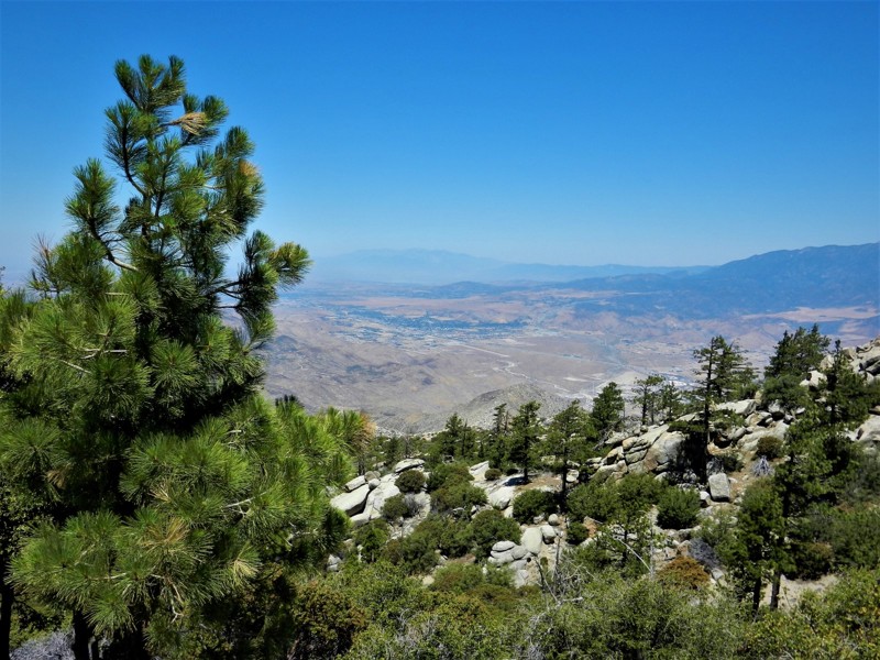
4S01 Black Mountain is the highest offroad trail, at 7,665 feet, in the San Jacinto Mountains, which is in the San Bernardino National Forest near Idyllwild. Because of its 2,300 foot elevation change over the 12 mile route you will experience a wide range of scenery from the lower scrub and manzanita to the pine, oak and cedar at the top. 4S01 Black Mountain is well know for its camping areas, and is also a rendezvous point for hikers on the Pacific Crest Trail. This trail is also a favorite for practicing your rock climbing skills. 4S01 Black Mountain closes during winter so you should check with the San Jacinto Ranger District as to status. Please respect the animals who call this forest their home, they were here first.
Updated: 06/20/2024
5S01 - Indian Truck Trail
Corona, California
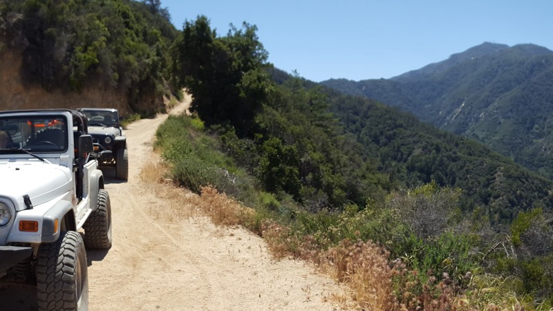
Indian Truck Trail is a great overland connector route that all off-road enthusiast can travel along. The trail takes you from the Corona area of the I15 to 3S04 - Main Divide Southern from at which point it is only a short 15 minute drive to the peak of Saddleback Mountain. Along the route, the trail provides many stunning views and some of the only forest left on the mountain. Whether it is a evening cruise to watch the sunset or a breakfast 4x4 trip to go to Tom's Farm, you will find yourself at ease on Indian Truck Trail.
Updated: 02/04/2026
Heartbreak Ridge
Big Bear, California
Tucked into the rugged east side of Big Bear in Southern California, 2N61Y, better known as Heartbreak Ridge, is a remote, challenging 4x4 trail in the San Bernardino National Forest. It’s a trail for drivers who want a true backcountry challenge away from the busier, more popular routes in the area.
Heartbreak Ridge is technical and demanding, with jagged rock gardens, tight canyon squeezes, and off-camber shelf-road sections that require careful tire placement and steady focus. Along the way, you’ll catch wide mountain views and pass scattered remnants of old mining activity that add a gritty, historic feel to the drive.


Updated: 04/01/2024
Fordyce Jeep Trail
Open
/
Soda Springs, California/
12.25 miles/
About 12 hours
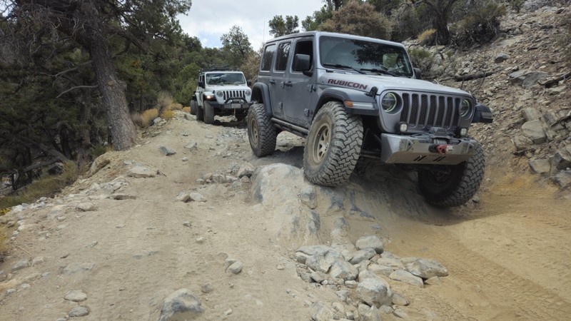
High in the Tahoe National Forest, west of Truckee California and just off Interstate 80 lies the Fordyce Jeep Trail; a serious rock crawling trail that will challenge any rig and driver. Fordyce is California mountain rock crawling at its finest. Over 12 miles of sharp, jagged rocky trail twists and turns on its way up from Indian Springs and Eagle Lakes to Meadow Lake at the top of this monster of a trail. Fordyce Jeep Trail runs alongside and crosses Fordyce Creek multiple times, where deep and typically unpredictable water crossings add to the challenge of the huge rock obstacles know as the numbered Winch Hills throughout this trail. Hardcore rock crawling, remote dispersed camping, swimming, fishing, and good ol' 4x4 spectating at Committee can all be found on Fordyce.
Experienced wheelers in built rigs will love the challenge and beauty of the Fordyce Jeep Trail, but new wheelers SHOULD NOT ATTEMPT it. This trail is technical and dangerous. Hang-ups, body damage, steering/suspension breakage, rollovers, mechanical breakdowns, engine flooding, you name it, it can happen on Fordyce.
Updated: 04/08/2024
San Sevaine Road
Fontana, California
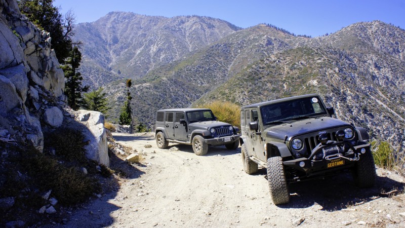
San Sevaine Road is located in the beautiful San Bernardino National Forest. The trail runs east to west on the south-facing slopes between Mount San Antonio (Mount Baldy) and the Cajon Pass. The views into the Inland Empire are spectacular, where you can spot the ocean on a clear day. This trail has somewhat unusual seasonal closures to protect important fawning habitat for mule deer, a Forest Service Management Indicator Species. The trail is closed between March 1st and Labor Day.
Another highlight of this trail is the Joe Elliott Yellow Post Site near the end. Joe Elliott was the Superintendent of this forest from 1929 to 1935. Southern California's largest conifer tree was once at this campsite. The massive tree was 23 feet in circumference and 140 feet tall. Sadly it had to be taken down for safety reasons.
Updated: 07/13/2024
3N06A Cold Water Canyon
Lytle Creek, California
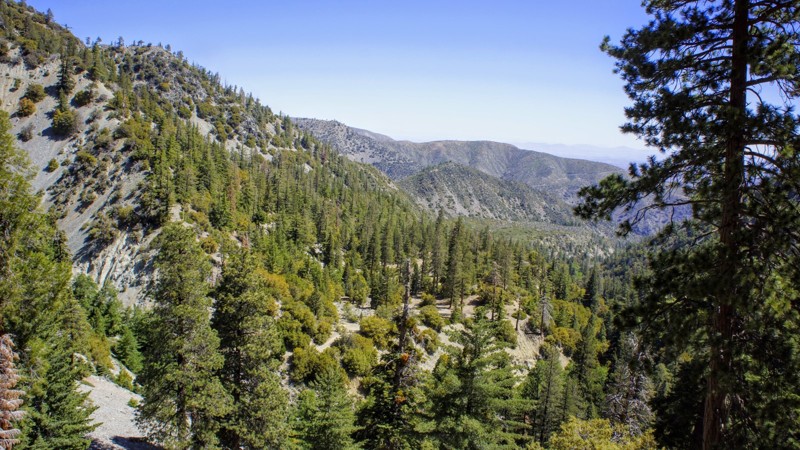
3N06A Cold Water Canyon, in the San Bernardino National Forest, is one of a dozen trails in the Lytle Creek system. This trail is a short spur off of 3N06 Stockton Flats, the main trail in the north fork of Lytle Creek. A major attraction to the area is the location of 19 Yellow Post camping sites, three of which are on this trail. Travel to this area is no more than 2 hours from anywhere in Southern California, and yet, with a properly equipped 4wd vehicle, you can make your camping experience as remote as you like. Prepare yourself for every forest creature you can imagine, and remember, this is their home. Cold Water Canyon is suitable for the newbie 4-wheeler but tough enough for all to enjoy. Pack your picnic lunch or camping gear and enjoy this trail.
Updated: 02/11/2025
Bailey Canyon
San Bernardino, California
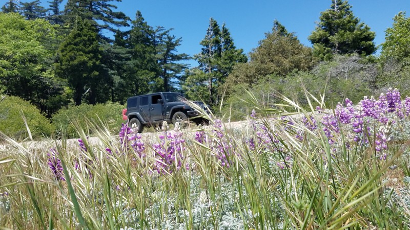
Bailey Canyon Road is at the eastern end of the 823,000 acres San Bernardino National Forest and only a short 10-mile drive from I-15. The trail passes over the San Bernardino Mountain Range, rising from Silverwood Lake and passing over Sugarpine Mountain at altitudes that are the domain of the big pine forests. The impressive tall pines are survivors of the 2003 Old Fire, which burned 91,000 acres and the scared victims are still visible. Along the road are densely packed young pines fighting for space, quickly becoming a lush forest again. There are many places to pause and enjoy the cool, sheltered quiet offered by the forest, fragrant spring flowers, and views back to Silverwood Lake.

Updated: 04/14/2025
Sandstone Canyon
Ocotillo, California
Widely regarded as the ultimate off-road adventure in California’s Anza-Borrego Desert State Park, Sandstone Canyon is more than just a trail; it’s a journey through time, carved by the forces of nature over millions of years. This breathtaking canyon trail takes you deep into a natural wonderland, where colossal sandstone walls rise high above, their jagged edges and smooth curves telling the story of a prehistoric past.
Winding through the canyon, you’ll navigate tight passages barely wider than your vehicle, feeling the raw power of the Earth’s geological artistry all around you. Every twist and turn unveils a new spectacle—sheer cliffs, towering formations, and sunlit rock faces that glow in shades of gold and red. It’s a place where time slows down, and the thrill of exploration meets the humbling beauty of nature.
Just as the Colorado River carved the Grand Canyon, the remnants of that ancient process have been sculpted here, creating an off-roading paradise unlike any other. This is not just a drive, it’s an experience, a privilege, and an unforgettable adventure. Many off-roaders hail Sandstone Canyon as the crown jewel of Anza-Borrego, and the moment you enter its towering corridors, you’ll understand exactly why.
Updated: 07/12/2024
3N31 - Lower Lytle Creek Divide
Fontana, California
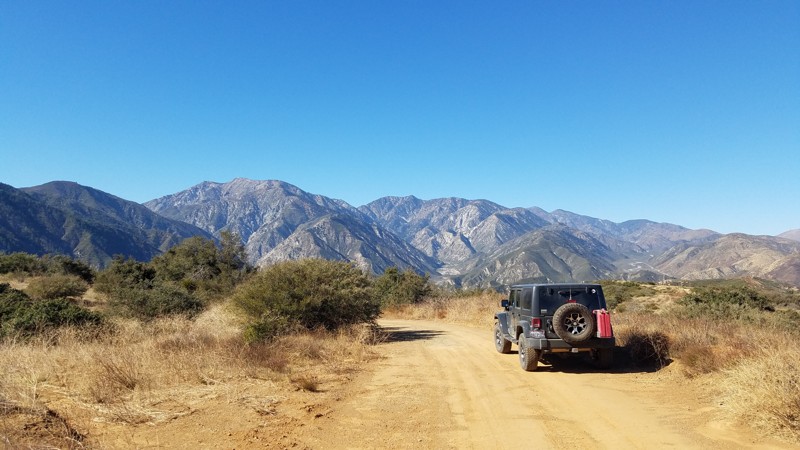
3N31 Lower Lytle Creek Divide is within the San Bernardino National Forest. It is an easy road that is well maintained to provide service vehicle access to the power line towers that line its route and an excellent highway for novice off-roaders to get their wheels dirty. Many inviting spurs to explore along the way almost always end at a power line tower.
For all driving skill levels, Lower Lytle Creek Divide offers a pleasant escape from the metropolis with views of the majestic San Gabrial Mountains to the west and the Cajon Pass to the east. There are beautiful vistas to pull over and enjoy at many spots along the trail dominated in the west by the almost 9000' granite peaks of Cucamonga, Big Horn, Timber Mountains, and from below the jumbled boulders that make up Lytle Creek. To the east is an expansive view of Cajon Pass hosting Interstate 15 and the 5400' Cajon Mountain range. A change in color from green to brown looks northward, marking the transition to the dry Mojave desert.
Your dog can also enjoy the trail when kept on a leash.
Updated: 10/18/2023
5S15 - Rouse Hill
Hemet, California
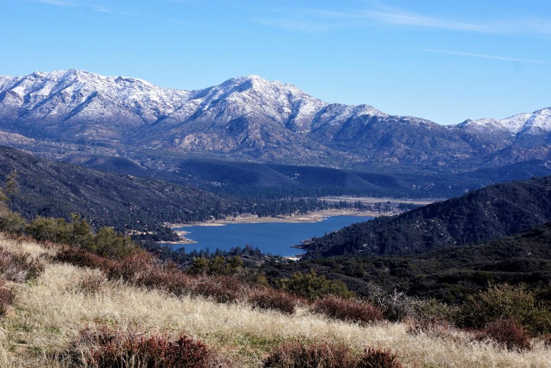
Rouse Hill Trail is all about the beautiful views and Thomas Mountain Peak for lunch or camping. It is an off-road route in the San Bernardino National Forest. The view of Lake Hemet with the snow-capped San Jacinto Mountains in the background with Tahquitz Peak in the center with sister peaks on either side is breathtaking.
Updated: 06/25/2026
Dishpan Springs
Lake Arrowhead, California
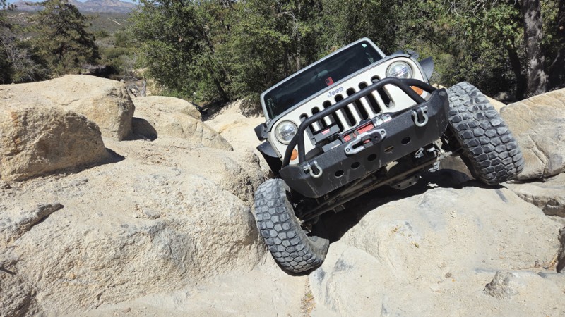
Dishpan Springs 3N34 is a short but brutally hardcore rock crawling trail that has become a must-run destination for serious offroad enthusiasts, rock crawlers, and extreme 4x4 drivers. Hidden deep in the San Bernardino Mountains between Big Bear Lake and Lake Arrowhead, this legendary Southern California off-road trail delivers nonstop technical challenges and is not something to underestimate. Known for its steep granite climbs, loose dirt, and high-consequence obstacles, Dishpan Springs is designed to test driver skill, vehicle setup, and mental focus from start to finish.
The trail is defined by two massive, highly technical waterfalls that rank among the most intimidating obstacles in the area. These near-vertical rock faces demand precise tire placement, controlled throttle, and confident line choice. The upper waterfall in particular is notorious for body damage and rollovers, and it has no regard for whether you are driving a fully built 4x4, a rock buggy, a heavily armored Jeep, or an over-the-top Toyota build. With constant traction challenges, extreme rock crawling lines, and heart-pounding climbs, Dishpan Springs delivers pure adrenaline and is the kind of offroad trail that leaves drivers exhausted, grinning, and wishing it would never end.
Updated: 07/30/2024
3N17 - White Mountain
Big Bear Lake, California
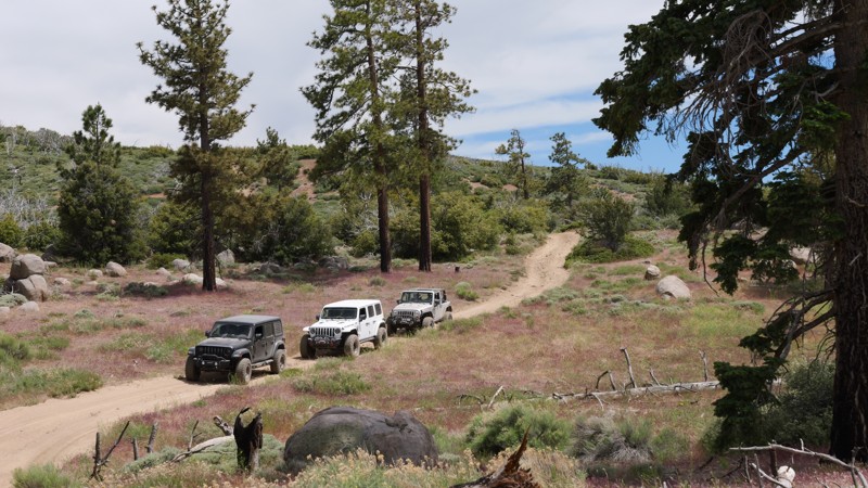
Located deep within the San Bernardino Nation Forest and providing legendary views of the High Desert, 3N17 White Mountain is a lightly traveled yet prominent trail within the Big Bear Lake area, known to be a favorite among locals. Perched at nearly 7,800 feet above sea level, the views from this ridge-running trail are awe-inspiring. While traveling the northern mountain range spine, users are rewarded with views of Johnson Valley, Lucerne Valley, Cougar Buttes, Apple Valley, Barstow, Mojave Road, and even Calico off in the distance. If those views aren't appealing enough, wait for dark and visit one of the two twin peaks on a clear night, where the glamourous lights of Las Vegas can be seen in the distance. If you are looking for something new and scenic that you will want to come back to again and again, look no further than White Mountain.
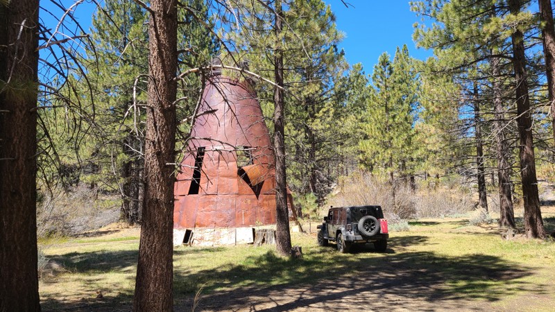
Updated: 05/23/2024
Jawbone Canyon Road
California City, California
Jawbone Canyon Road provides a leisurely and scenic drive across a quickly changing landscape from the hot Mojave high desert to the cool Piute Mountains. Along the way, you can get close to an impressively massive wind turbine farm, pass across the beautiful Kelso Valley, and then feel the temperature drop as you climb 4500 feet into the serene tall pines of the Sequoia National Forest.
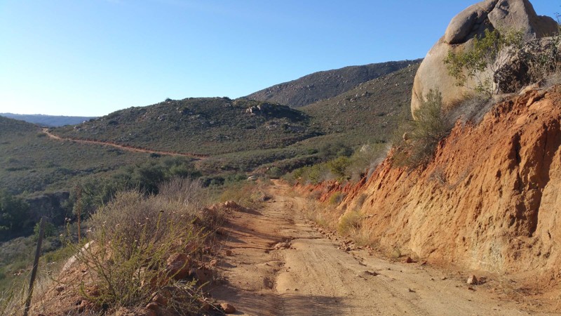
Updated: 12/22/2023
Upper Santa Ysabel Trail
Ramona, California
Upper Santa Ysabel Trail is located in northern San Diego county. The trail runs along Black Mountain which provides great views of the canyons below. This short trail is not just scrub brush and boulders. As you go down into one of the multiple canyons, you will find lots of oak trees and seasonal streams.
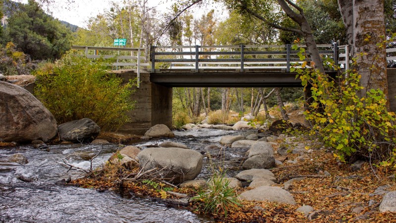
Updated: 07/20/2024
1N54 - Clarks Grade
Big Bear Lake, California
Clarks Grade is a 4x4 off-road trail in the San Bernardino National Forest. Driving this trail is a journey through several ecosystems, starting at the lowest elevation at the Santa Ana River and continuing to the ridgeline south of Big Bear Lake. The lushness of the canyon bottom gives way to the semi-aridness of mesquite, sage, and scrub oak. Finally, towards the end, you reach groves of conifer and an open-air ridgeline. Rumor has it that this trail was cut in one week as an alternate way off the mountain when, in 1949, the storm of the century blocked all access in and out of Big Bear Lake/Snow Summit. A sign at the north end explains that the trail has been in place since well before 1949. Harland Clark always told the story his way; it looks like his brother Hiram made the improvements.
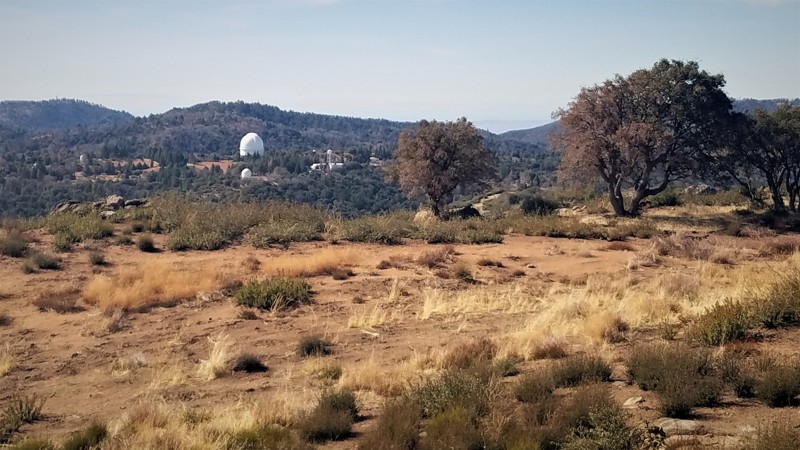
Updated: 06/08/2024
9S07 - Palomar Divide
Temecula, California
9S07 - Palomar Divide is located off Highway 79 in San Diego County, in the Cleveland National Forest near the Riverside County border. The views along this 13 mile trail are spectacular and are ideal for the new 4x4 wheeler to use for a picnic drive or for overnight camping. The waypoints will direct you to a wildlife guzzler, two semi-active gemstone mines, hiking trails, Sourdough Springs, and the Highpoint Lookout. Palomar Observatory is just a short distance beyond the permanently locked gate at trails end, but visitor access is only via Highway 76 to the south.

Updated: 06/16/2024
26E212 - Red Lake Trail
Open
/
Shaver Lake, California/
2.38 miles/
About 2 hours
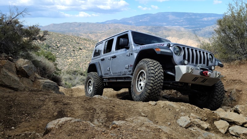
A high mountain lake hidden at the end of this rock crawling 4x4 trail makes for a killer end-of-trail reward and an even better camping location.
Rock gardens, dense forest, a few short stretches of easy trail and, of course, Red Lake, make up Red Lake Trail.
This is one of many 4x4 trails in the Red Mountain OHV network in the Sierra National Forest, northeast of Shaver Lake and Southeast of Huntington Lake.
Red Lake Trail is one of the "easier" trails in this area, when compared to Mirror Lake Trail and Coyote Lake Trail , but do not underestimate Red Lake. While easier, it is not "easy", and still a challenge to reach the Lake at the end.
Updated: 05/06/2026
Miller Jeep Trail
Frazier Park, California
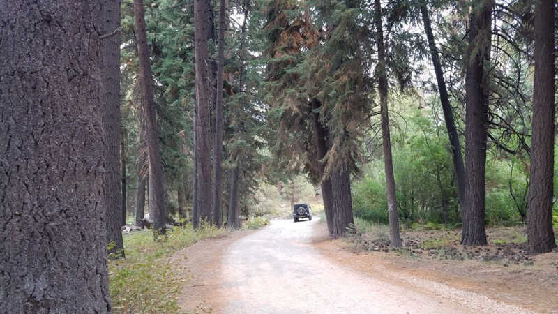
The Miller Jeep Trail is a true legend in the Southern California off-road community and one of the original hard trails that helped define California rock crawling. Located near Lockwood Creek and climbing toward Alamo Mountain, this iconic 4x4 trail continues to draw large groups of Jeep, Toyota, Bronco, and overland enthusiasts looking for everything from a challenging day run to a full weekend adventure.
Known for its steep rocky climbs, off-camber sections, 2 to 3-foot ledges, and technical waterfall obstacles, Miller Jeep Trail delivers the perfect blend of overlanding and hardcore rock crawling. Drivers can expect sustained climbs over 25 degrees, loose boulder fields, shelf roads, and narrow mountain passes with breathtaking views of the Los Padres National Forest. This trail tests both driver skill and vehicle capability, making it one of the most respected and talked about off-road trails in Southern California.
Whether you’re running a built rock crawler on 37s or a stock high clearance 4x4 aired down and picking careful lines, Miller Jeep Trail offers an unforgettable off-road experience. From creek crossings on Lockwood Creek Trail to the rugged push up Alamo Mountain, this route is packed with adventure, history, and pure adrenaline.
Updated: 09/06/2024
2N10 - Mill Creek
Big Bear City, California
2N10 Mill Creek is in the 823,000-acre San Bernardino National Forest just south of Big Bear Lake and travels through some of the most beautiful parts of the Big Bear Mountains. Mill Creek has many spots to pull over and enjoy the peaceful solitude of this lush forest. The entire road length is enclosed by a conifer forest with tall Ponderosa Pine sheltering the way and accented by the unusual granite formations for which Big Bear is known. This well-marked road provides access to several other driving trails and numerous hiking and biking trails to explore.

Updated: 12/18/2024
Diablo Drop-Off
Ocotillo, California
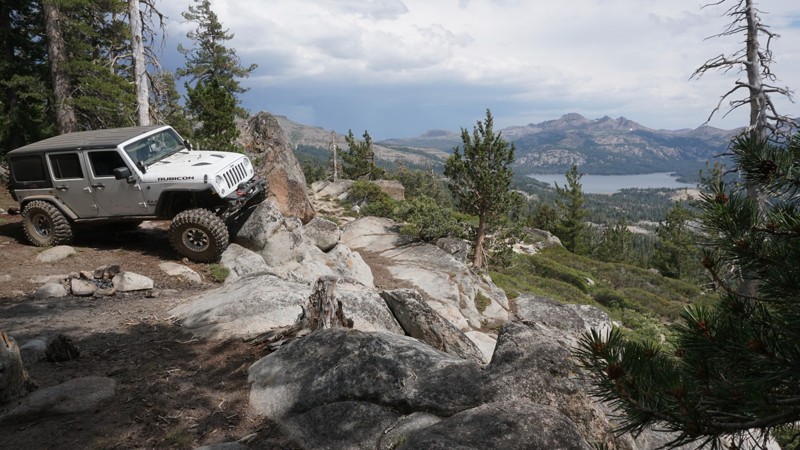
Diablo Drop-Off isn't as scary as it sounds, but it is a great story when you get home and tell your family that you drove down a hill named after the Devil himself. From a pragmatic point of view, it will most likely be on your itinerary when you overland between sections of the renowned Anza-Borrego Desert State Park. Diablo Drop-Off connects trails in the southern area, such as Canyon Sin Nombre and Vallecito Creek, with the more famous northern trails, such as Fish Creek Wash and Sandstone Canyon. Whatever the motivation is to conquer the hill or make as many offroad miles as possible in the Park, Diablo Drop-Off is waiting for you to explore.
Updated: 07/05/2024
Strawberry Pass / Strawberry 4WD Trail
Kyburz, California
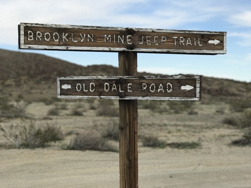
Just south of Lake Tahoe and not far off Highway 50 in the Eldorado National Forest is Strawberry Pass, a scenic off-road trail climbing its way up and over Little Round Top Mountain. The trail overlooks Caples Lake and the Kirkwood Ski resort. This long 4WD trail is known for its high mountain views and some great dispersed camping locations. Strawberry Pass is a key part of a popular route connecting Deer Valley and the Rubicon Trail or Barrett Lake with minimal pavement.
Updated: 04/15/2026
Old Dale Road
Twentynine Palms, California
Old Dale Road is a historic route that served as the central corridor for the Old Dale Mining District in what is now the northeast corner of Joshua Tree National Park. Numerous side trails branch off from Old Dale Road and lead to the remains of old mining sites and ruins to explore. The road is also a fun and challenging off-road trail, with steep climbs into the Pinto Mountains on a narrow, rocky path. Old Dale is a popular destination for overlanders. You can easily plan a multi-day trip traveling Old Dale and its connecting trails, exploring the remains of mining operations, and enjoying the rich geography of the area. This area also makes a great day trip from Joshua Tree National Park — just get an early start as the trail is long and there's much to see. Old Dale Road traverses the two great deserts of Southern California, which meet within the boundaries of Joshua Tree National Park. The trail begins in the Sonoran Desert, which is the hotter and drier ecosystem and features vegetation consisting mostly of cholla cacti, ocotillos, and ironwood trees. As you travel north on Old Dale Road you’ll notice the landscape change to yucca, creosote, and the famous Joshua trees, marking the transition to the Mojave Desert.

Updated: 09/24/2024
Pleasant Canyon Loop Trail
Ballarat, California
For the overlander who truly wants to explore the best of Death Valley, the Pleasant Canyon Loop Trail offers a little bit of everything. Mines, cabins, steep mountain ascents and descents, epic views, rocks, cliffs, wood bridges, and more. The loop begins and ends in the Panamint Valley and explores Pleasant Canyon, Middle Park, and South Park. Some of the many sites to visit are Claire Camp, World Beater Mine Cabin, Cooper Mine, Mormon Gulch, Rita's Cabin, Roger's Pass, Chicken Rock (see photo), Chicken Bridge, and Briggs Cabin. Chicken Rock is a downward-tilting, narrow section of the trail which tips your vehicle precariously towards a 200' vertical drop. Once past this obstacle, you face the famous 3-ton limit wooden bridge before descending back into the Panamint Valley to complete the loop.

Updated: 01/27/2024
3N34 - Willow Creek Jeep Trail
Lake Arrowhead, California
A few miles north of the mountain lake community of Lake Arrowhead you will find Willow Creek Jeep Trail. This trail is amongst a network of OHV routes in the San Bernardino mountains in the San Bernardino National Forest. As you travel across this trail you begin to notice the forrest environment on the south slowly fade toward a hinting desert landscape on the north. This is most prominent as you pass 3W13 (waypoint 9) and turn to the north.
Along the trail you will make two creek crossings ; willow creek and little bear creek. Both crossings are over concrete-slab fords.
The east end of 3N34X (way point 27) offers the most fun of this trail for the adventurous offroader. This rutted, rocky hill was fun enough for us to run it up and down.

Upgrade your Membership
Unlock all of the details on every Trail Guide and Scout Route.
Start a 7-day Free TrialCommunity
Partners

